







Porzûs Mountain Huts Circular Trail from Bocchetta di Sant'Antonio

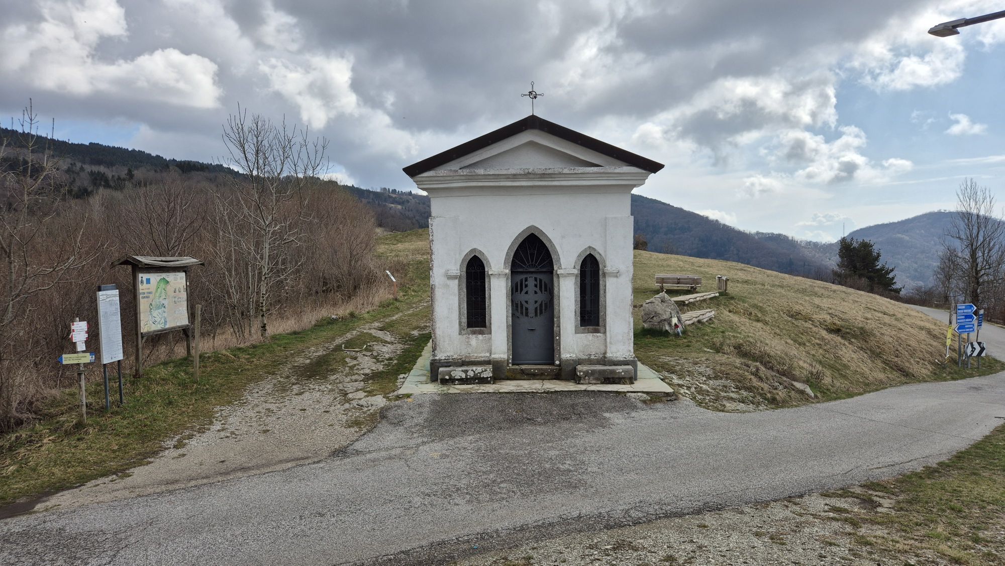
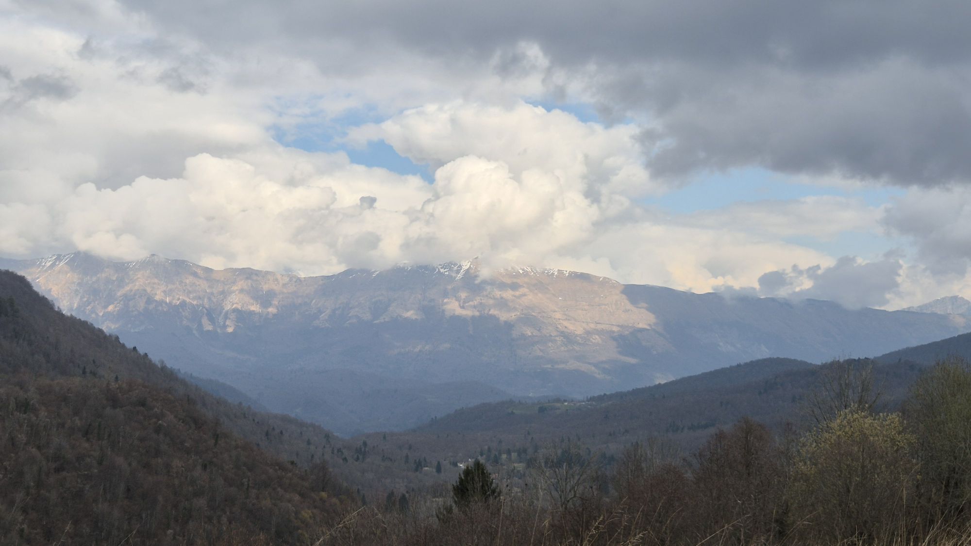
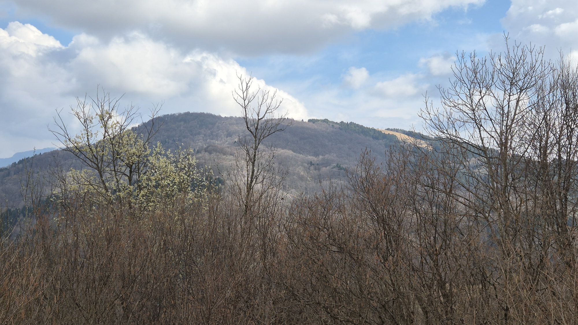
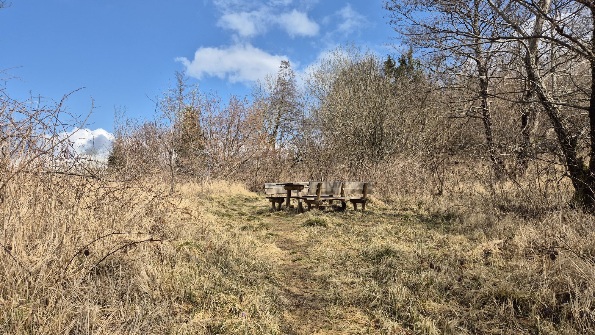
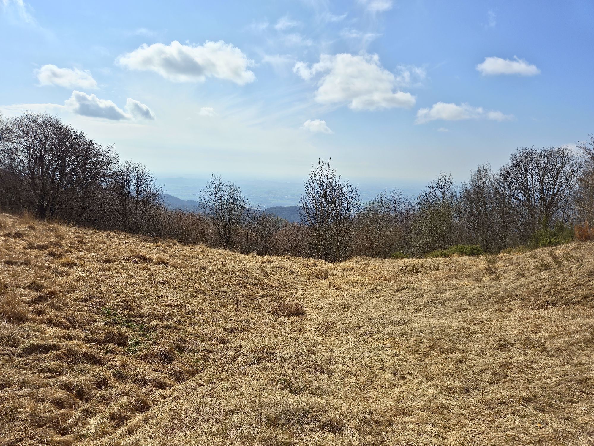
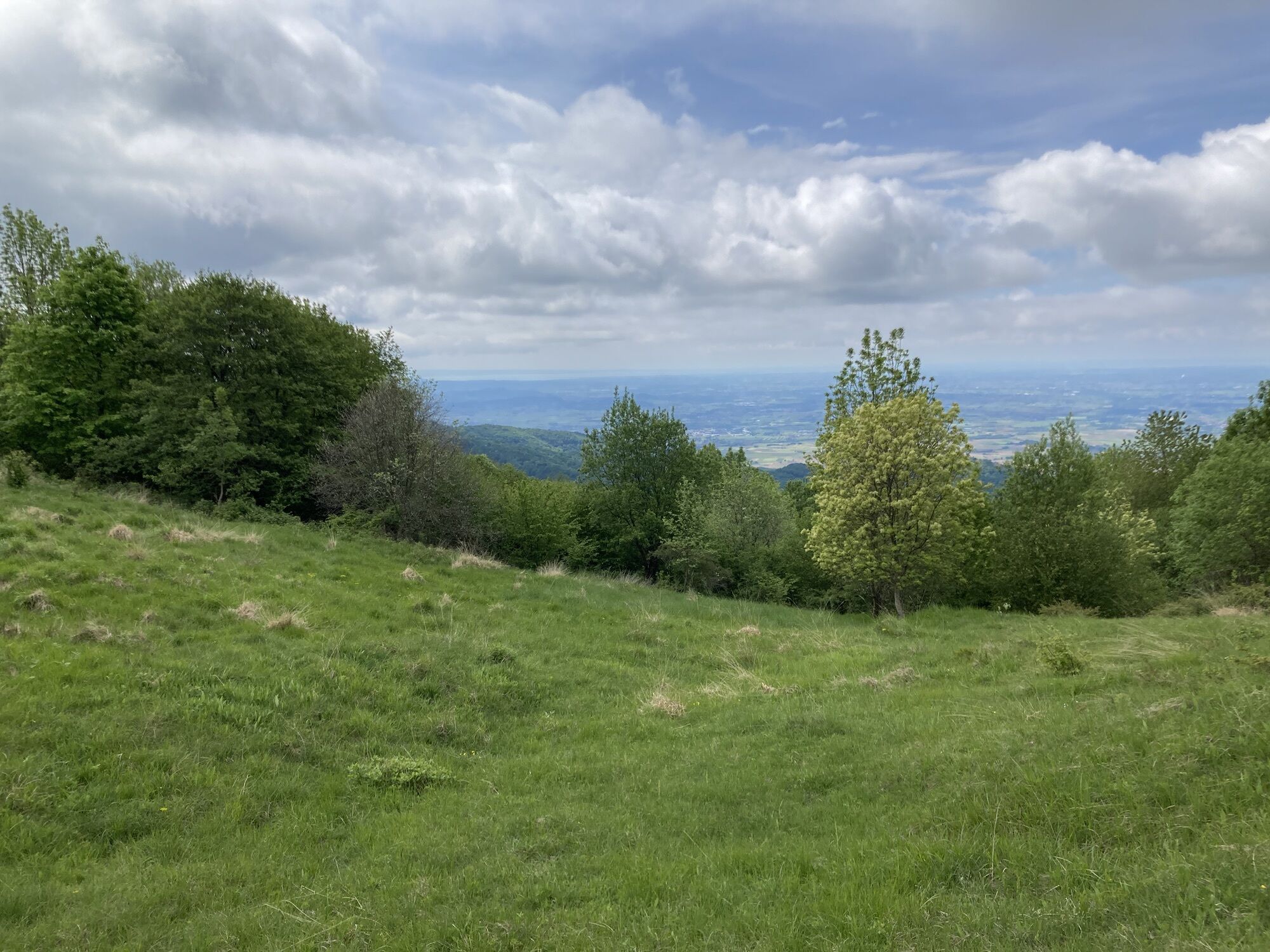
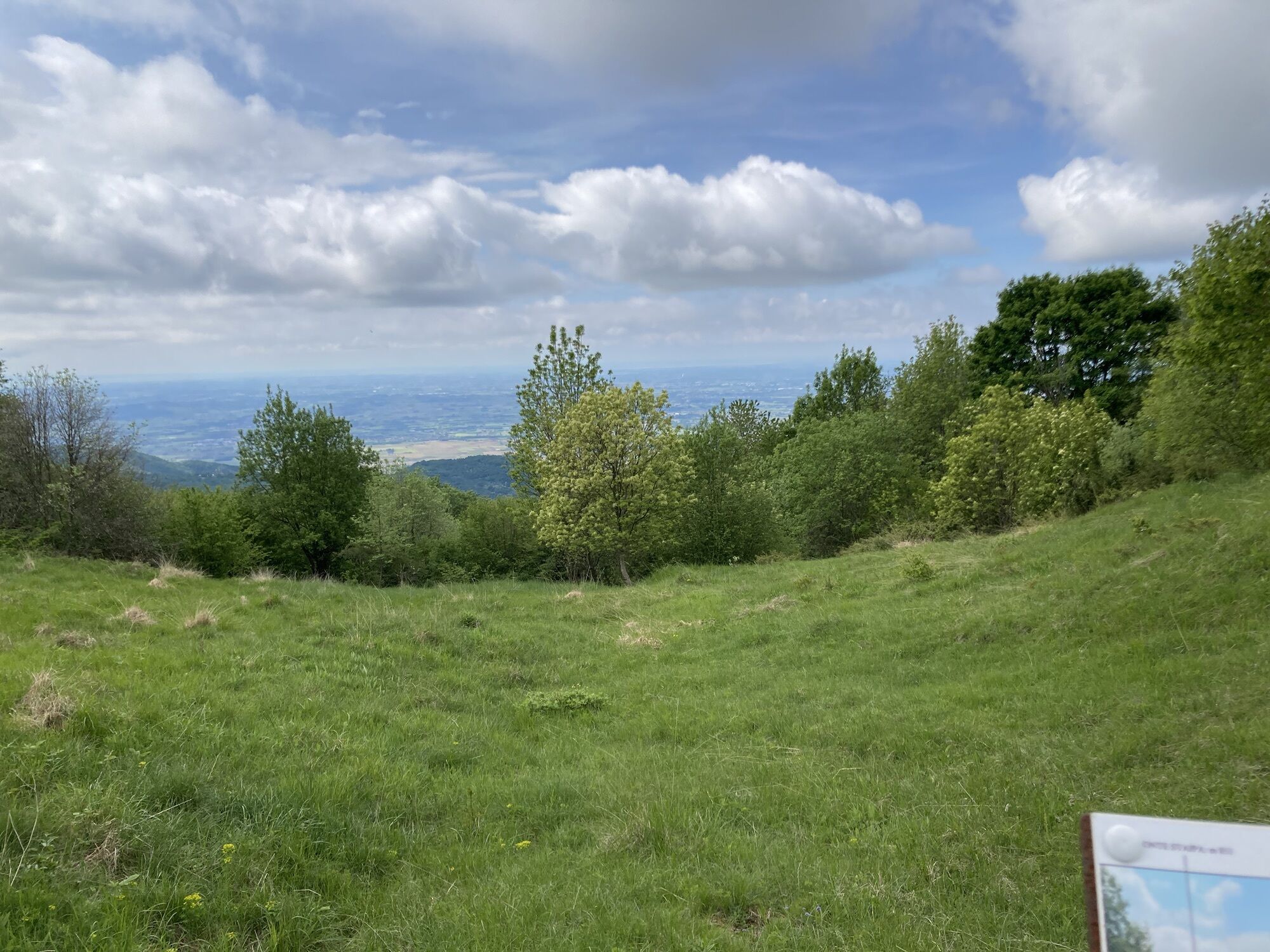
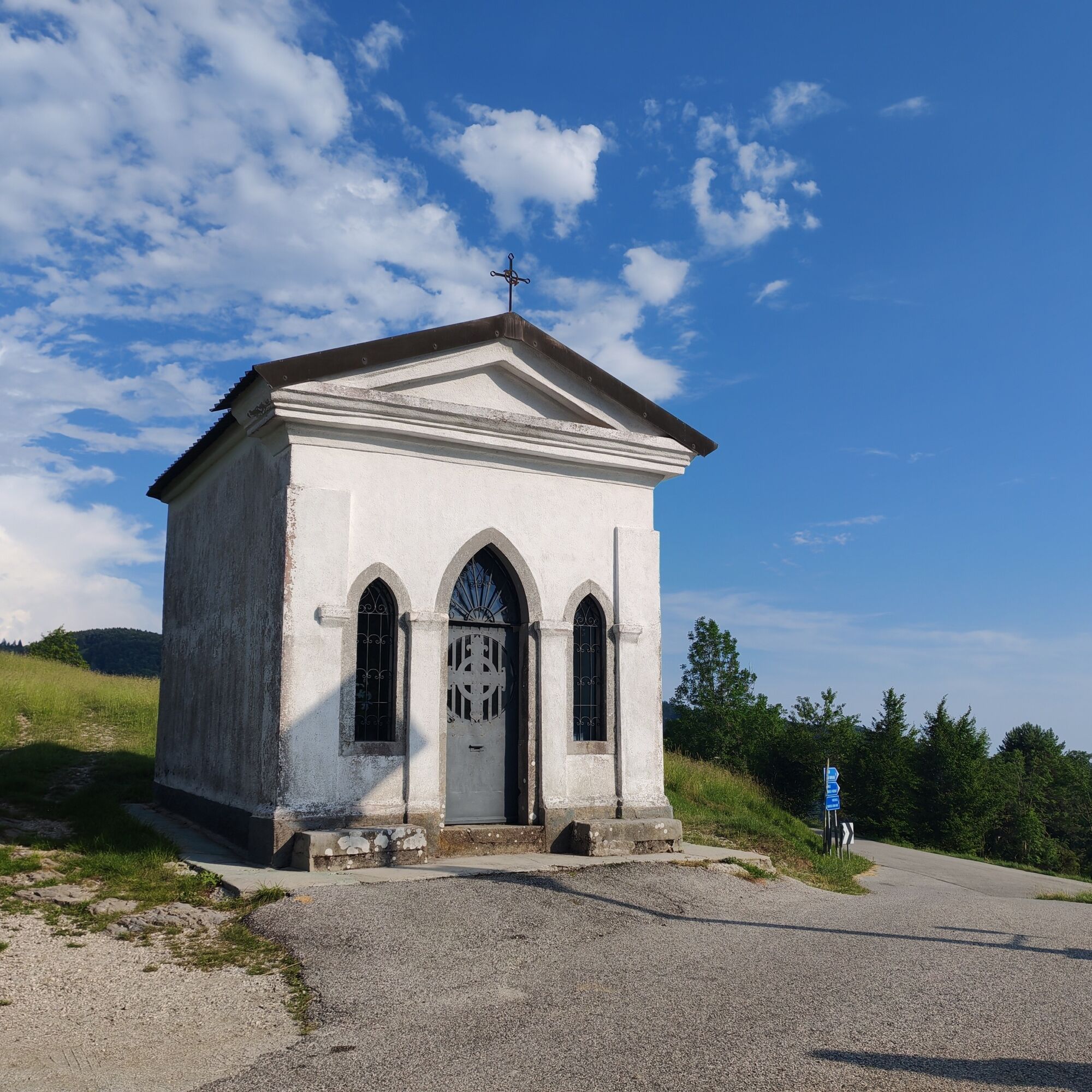
The route begins at the scenic Bocchetta di Sant'Antonio, where a memorial plaque commemorates an unknown soldier who fell here while attempting to slow the advance of the Austro-German troops following...
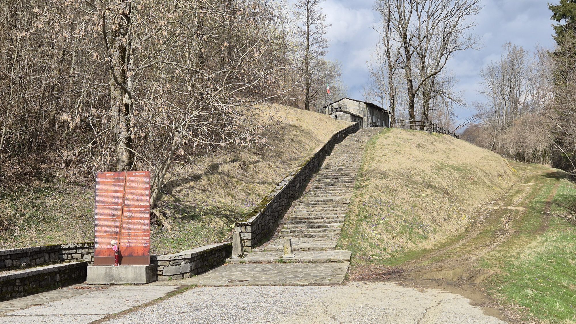
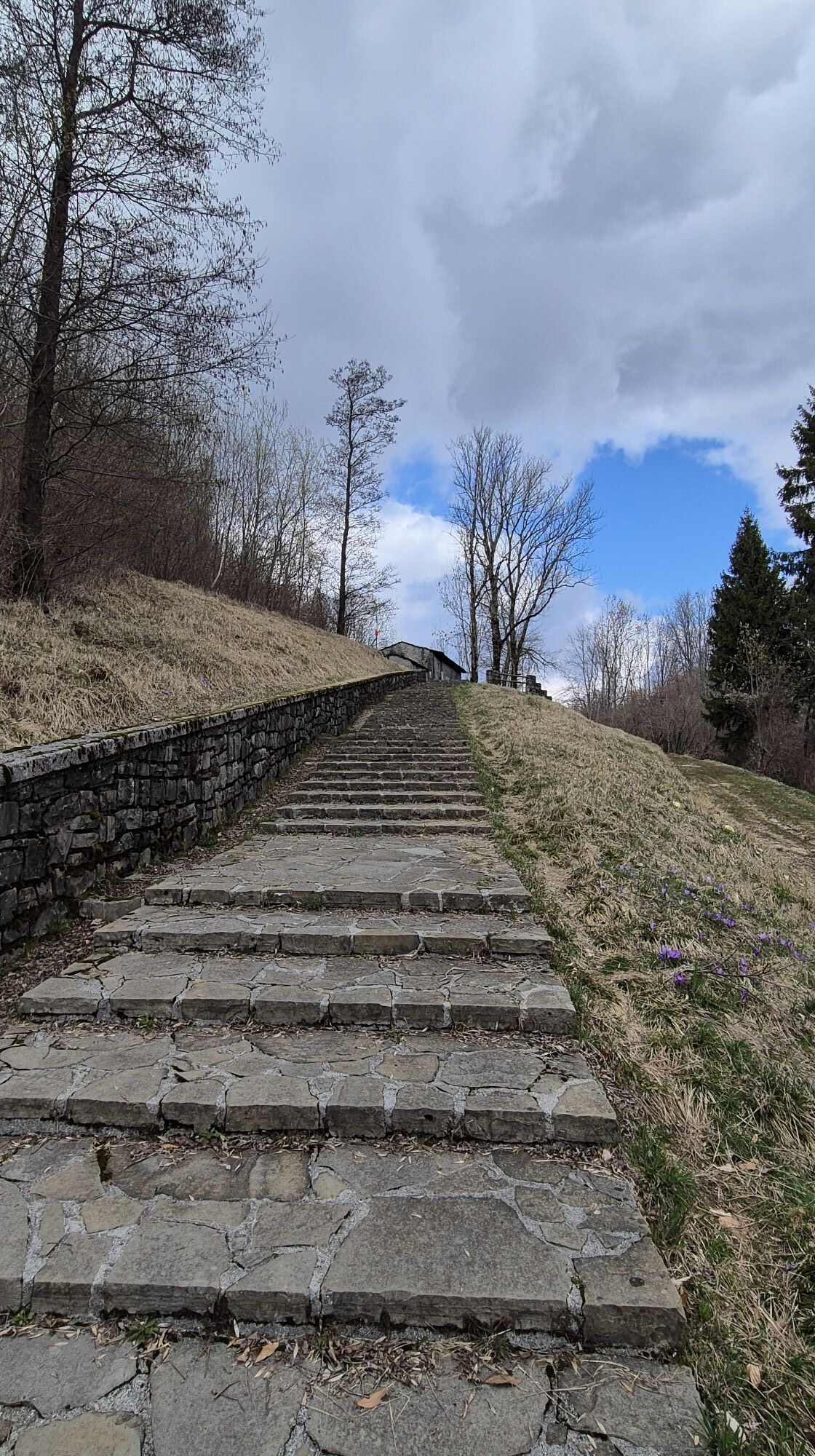
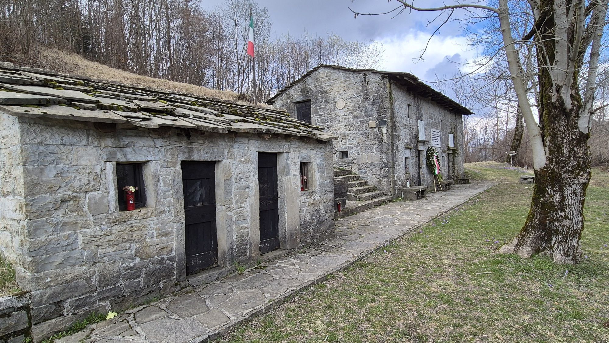
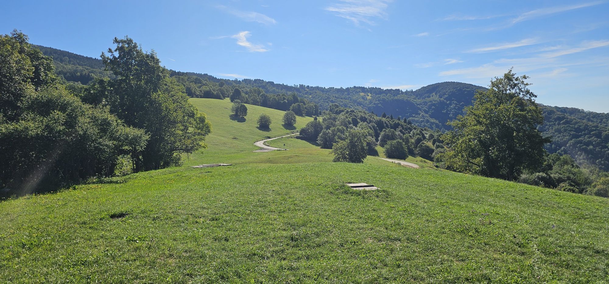
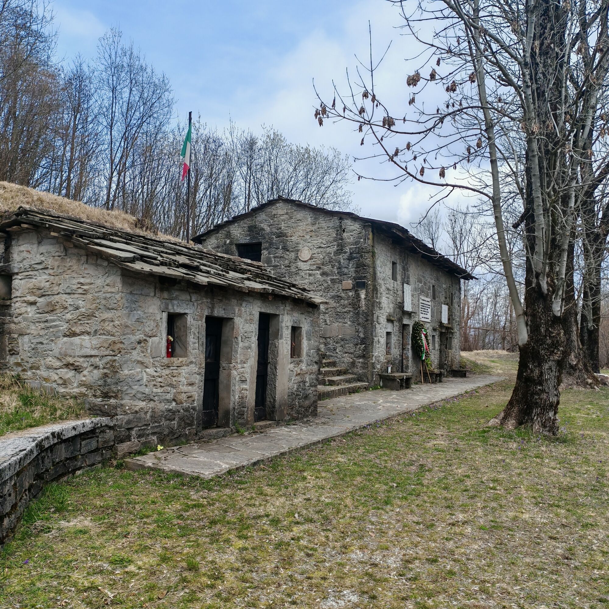
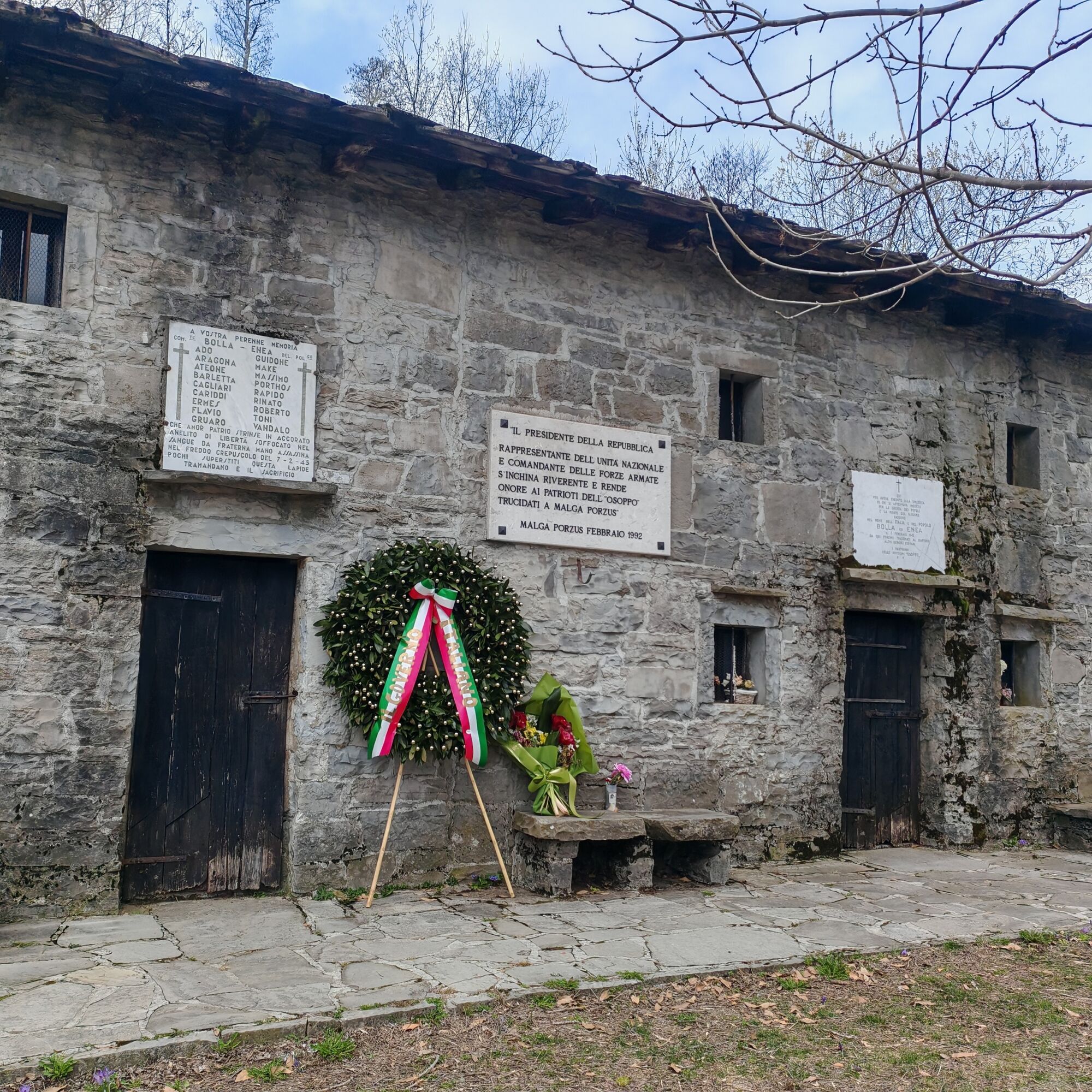
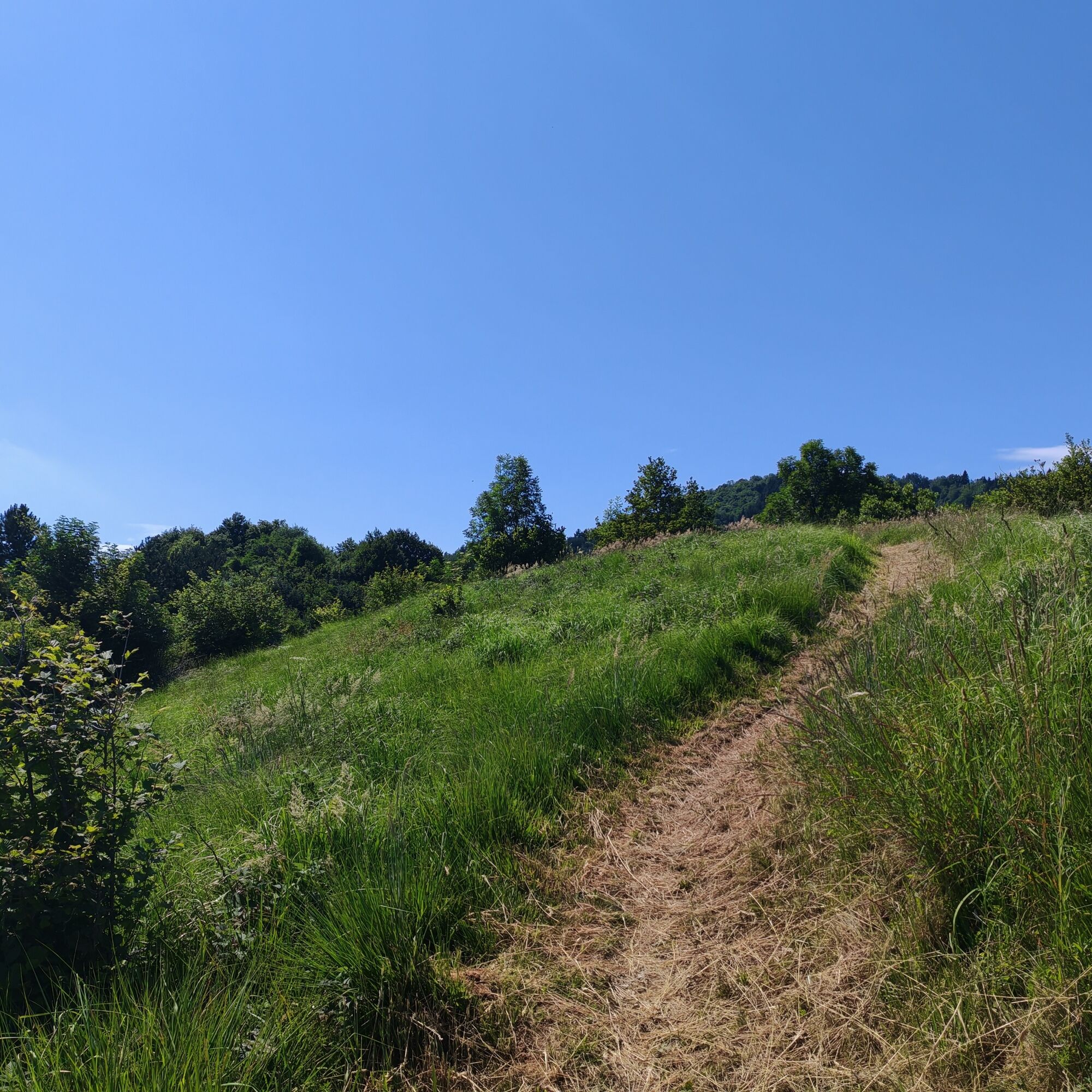
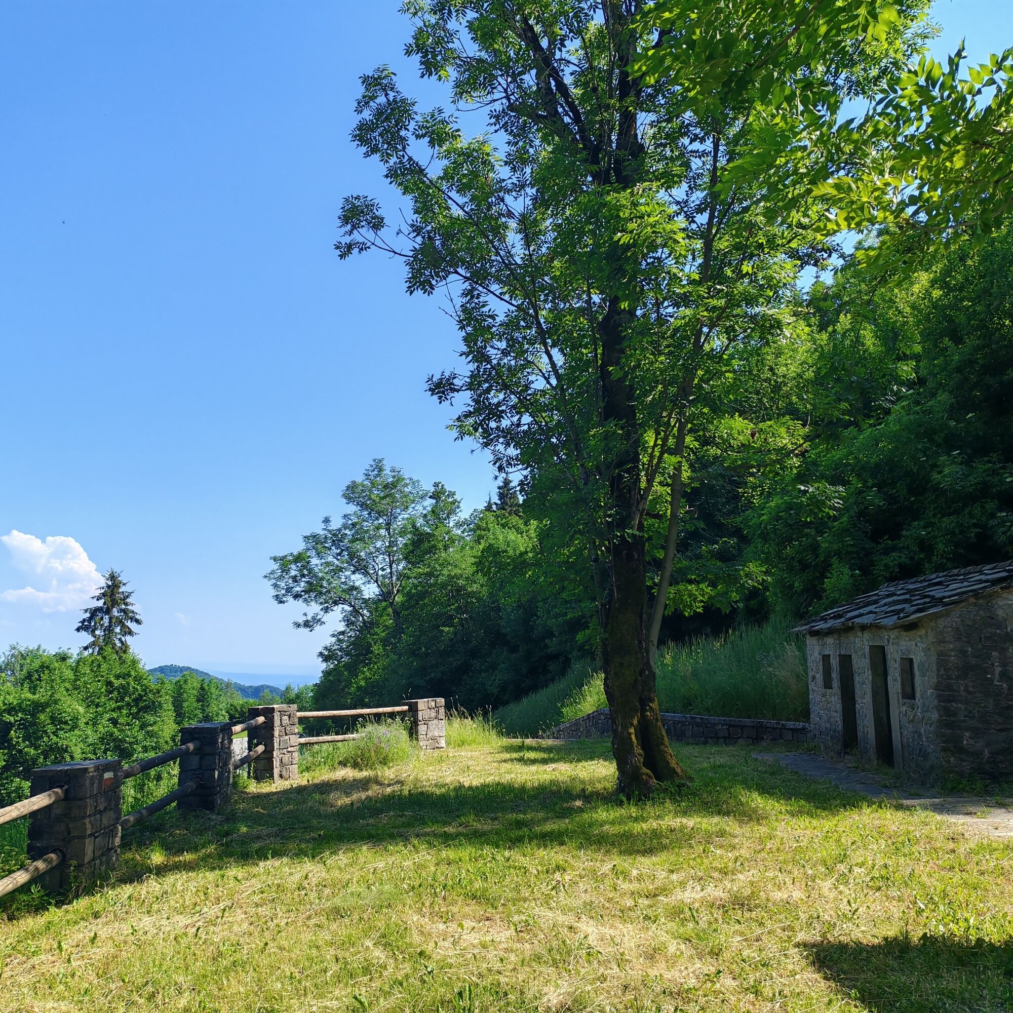
Opposite the small church, follow CAI Trail 765, which climbs through meadows and woodland before crossing a paved road. At the foot of the steps leading to the Porzûs Mountain Huts, an information panel explains the tragic events that took place here. In February 1945, eighteen partisans of the Osoppo Brigade were killed on the orders of the command of the Garibaldi-Natisone Division, which supported the territorial claims of the Slovenian partisans.
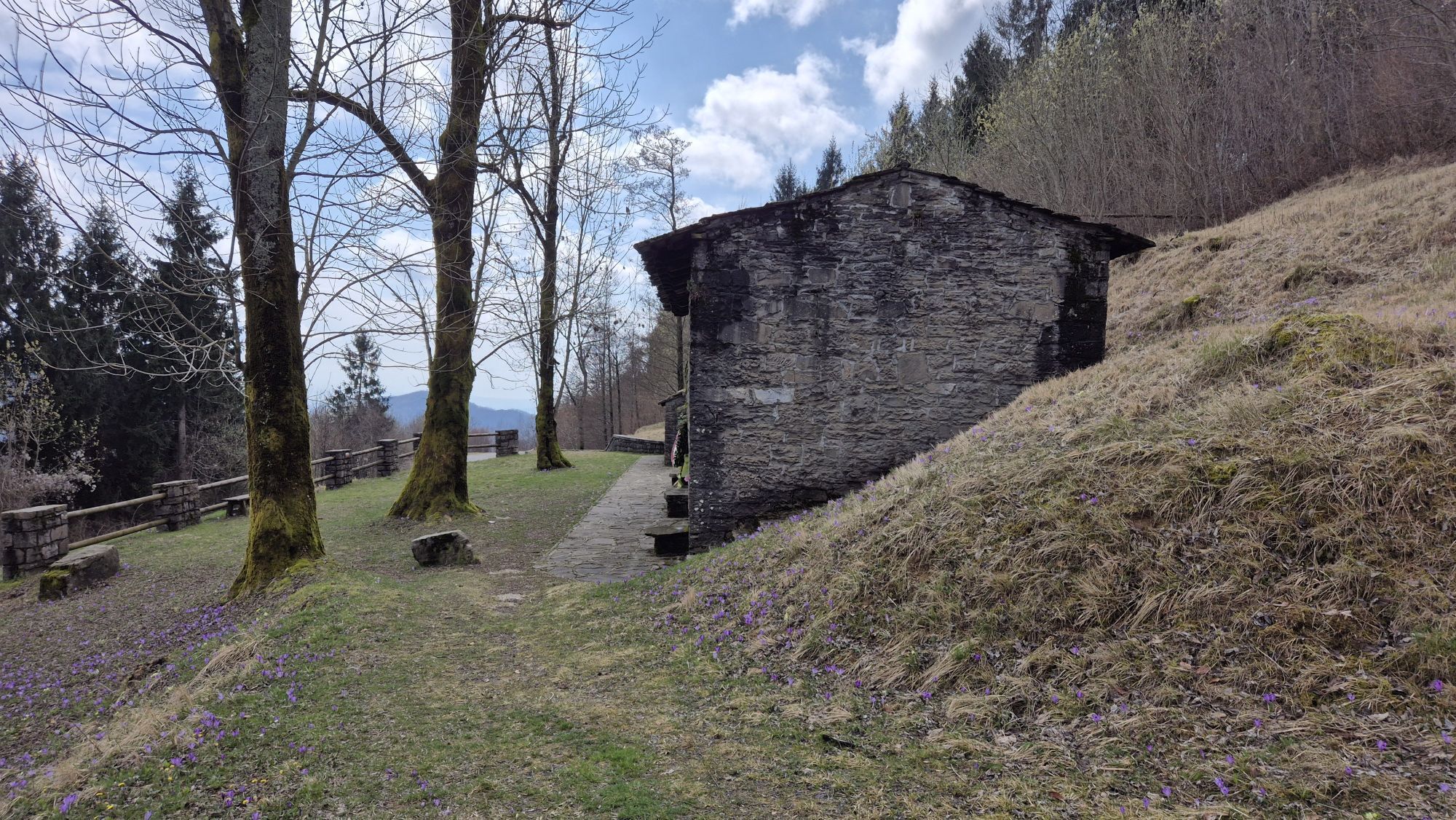
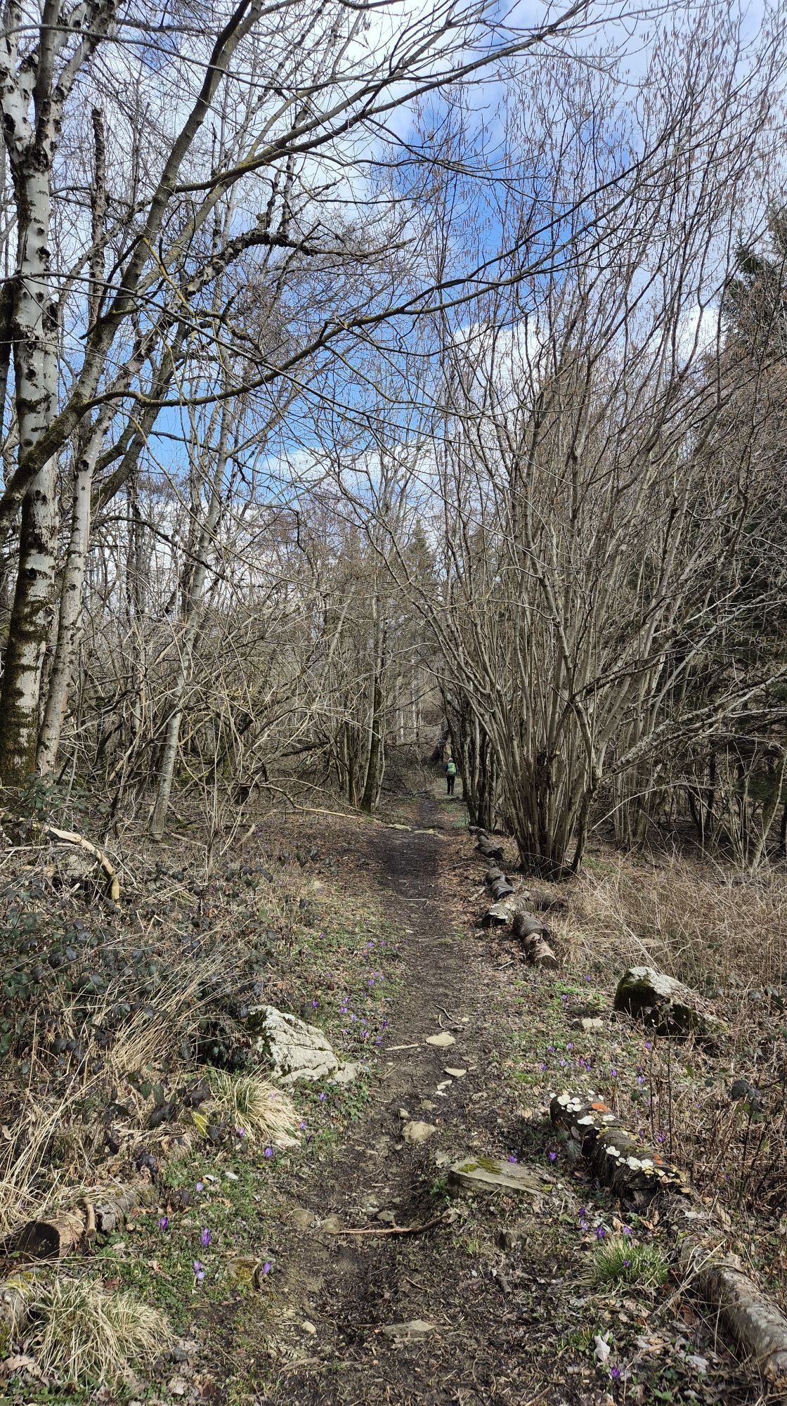
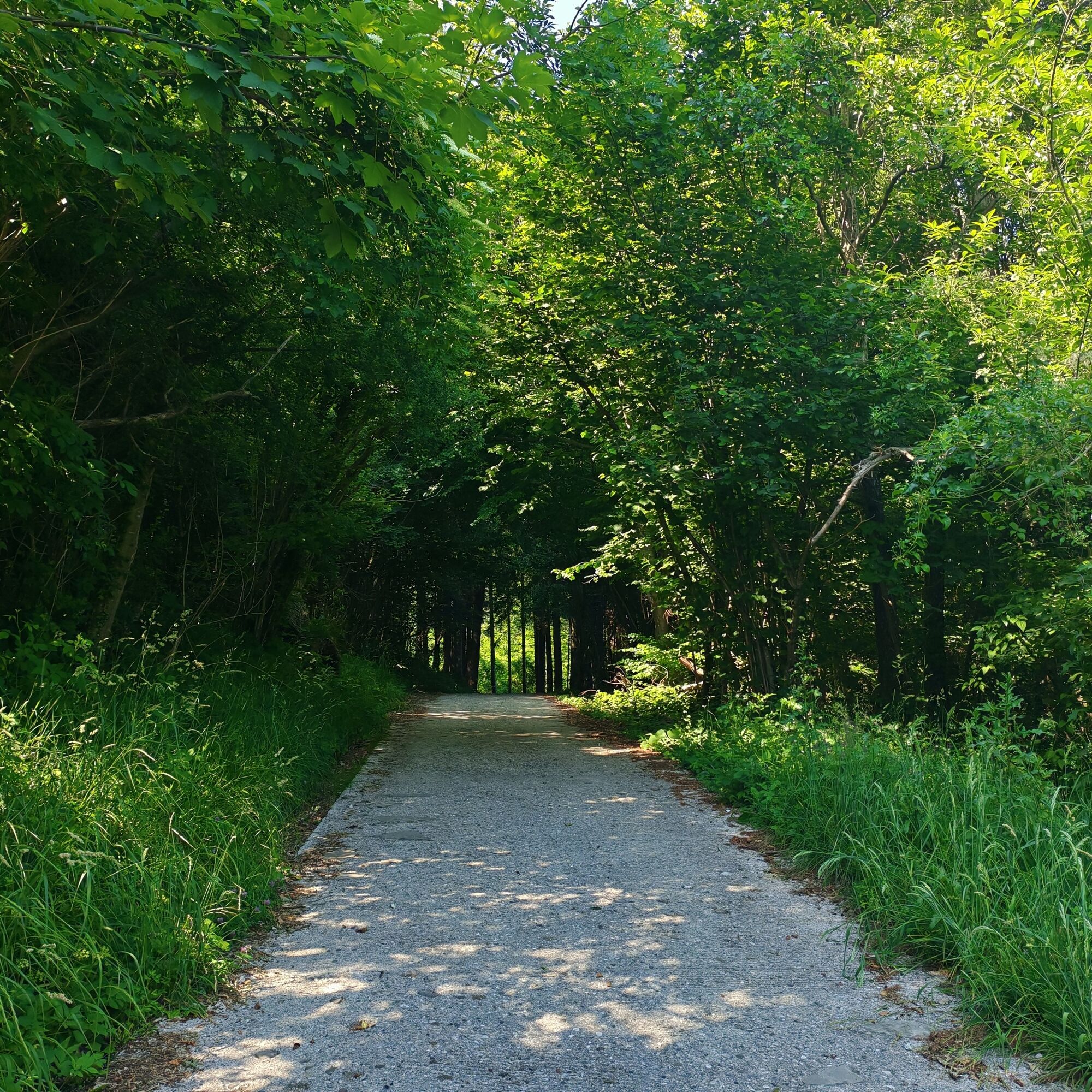
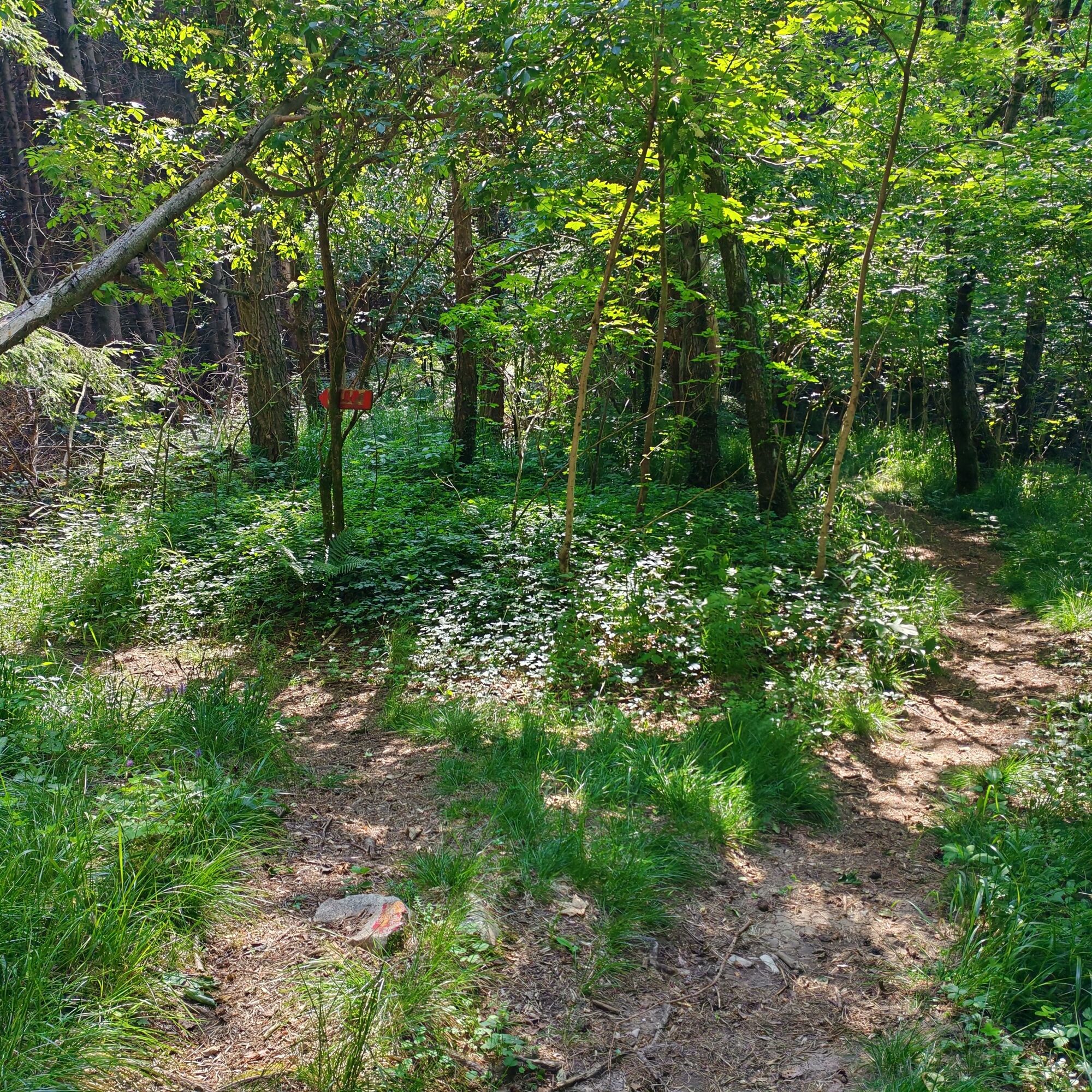
After passing the mountain huts, where commemorative plaques honour the partisans who lost their lives in the massacre, continue left along CAI Trail 765, which is also part of the Cammino Mariano. Shortly afterwards, you will reach a fork in the trail. Take the path on the left and descend along a short but steep section until you reach the paved road. Follow the road back to Bocchetta di Sant'Antonio, completing the circular route.


Tak
It is recommended to wear appropriate outdoor clothing, sturdy footwear suitable for unpaved trails, and to use trekking poles. Visitors are also advised to bring an adequate supply of water and food.
During the summer months, be aware that vegetation may be tall in the open, non-wooded sections of the route. Wearing long trousers is recommended.
From Udine, follow Provincial Road 15 (SP15) to Faedis. From there, continue towards Canebola, then follow Via Sant'Antonio, which leads to Bocchetta di Sant'Antonio.
A small parking area is available at Bocchetta di Sant'Antonio
Popularne wycieczki w okolicy
-
4,0
Matajur
średniMountainbike 24,8 km -
5,0
Monte Stella, między małymi wioskami i rozległymi widokami
światłoWędrówka 9,18 km -
4,3
Stol Nord
średniMountainbike 37 km -
4,0
Monte Matajur route
średniWędrówka 6,66 km -
4,0
Matajur (1642 m) from Marsin
średniWędrówka 10,2 km -
SOČA VALLEY I2: Bovec - Stol - Kobarid
ciężkiJazda na rowerze 53,0 km -
SOČA VALLEY I2A: Robidišče route
średniJazda na rowerze 24,8 km -
Pierścień Udine i Cividale (R037)
średniKolarstwo długodystansowe 48,8 km -
10 thousand steps of health FVG - SAN PIETRO AL NATISONE - route 1
światłoWędrówka 4,26 km -
5,0
Szlak Dolin Natisone (Cividale - Stupizza) (P006)
średniKolarstwo długodystansowe 20,5 km
Wędrówki i tropienie


Nie przegap ofert i inspiracji na następne wakacje
Twój adres e-mail została dodana do listy mailingowej.





