


Park 40 - The Coastal Trench Park
Poziom trudności: T2
Zdjęcia naszych użytkowników
The Coastal Trench is an impressive defensive line built by the Austro-Hungarian command to protect Trieste from a possible attack by sea. Stretching from Duino-Devin to Cittanova (Novigrad, Croatia),...
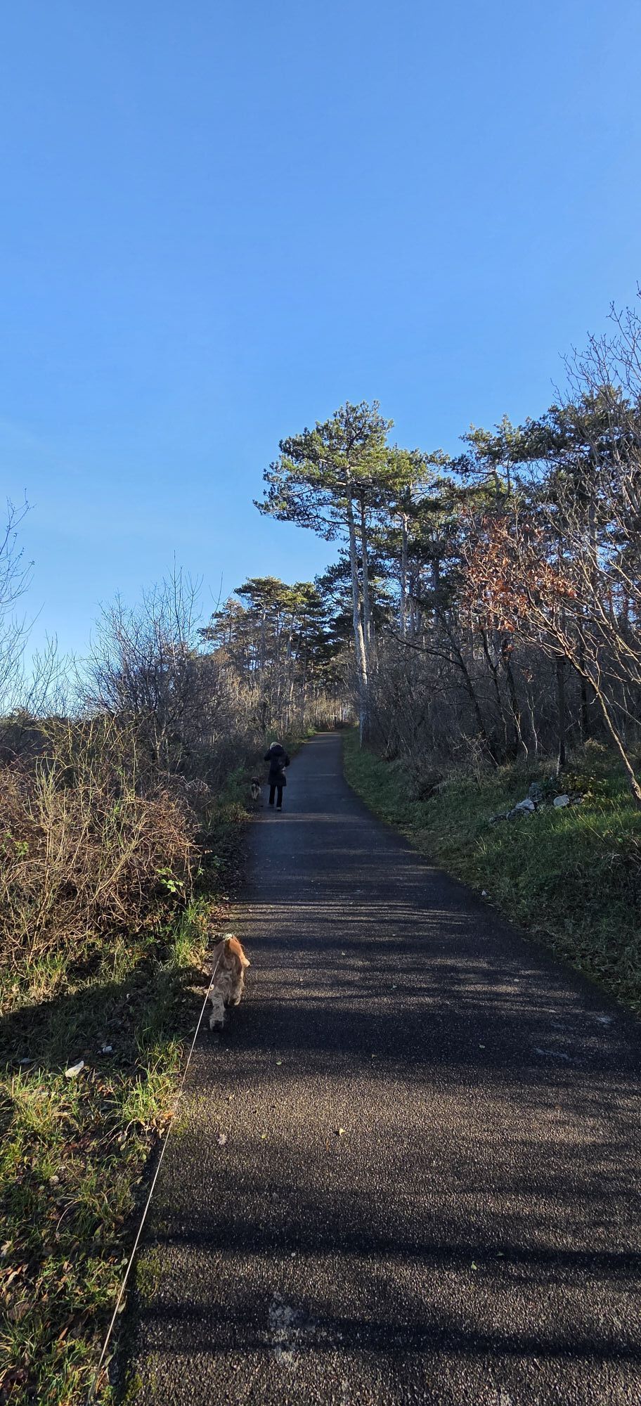
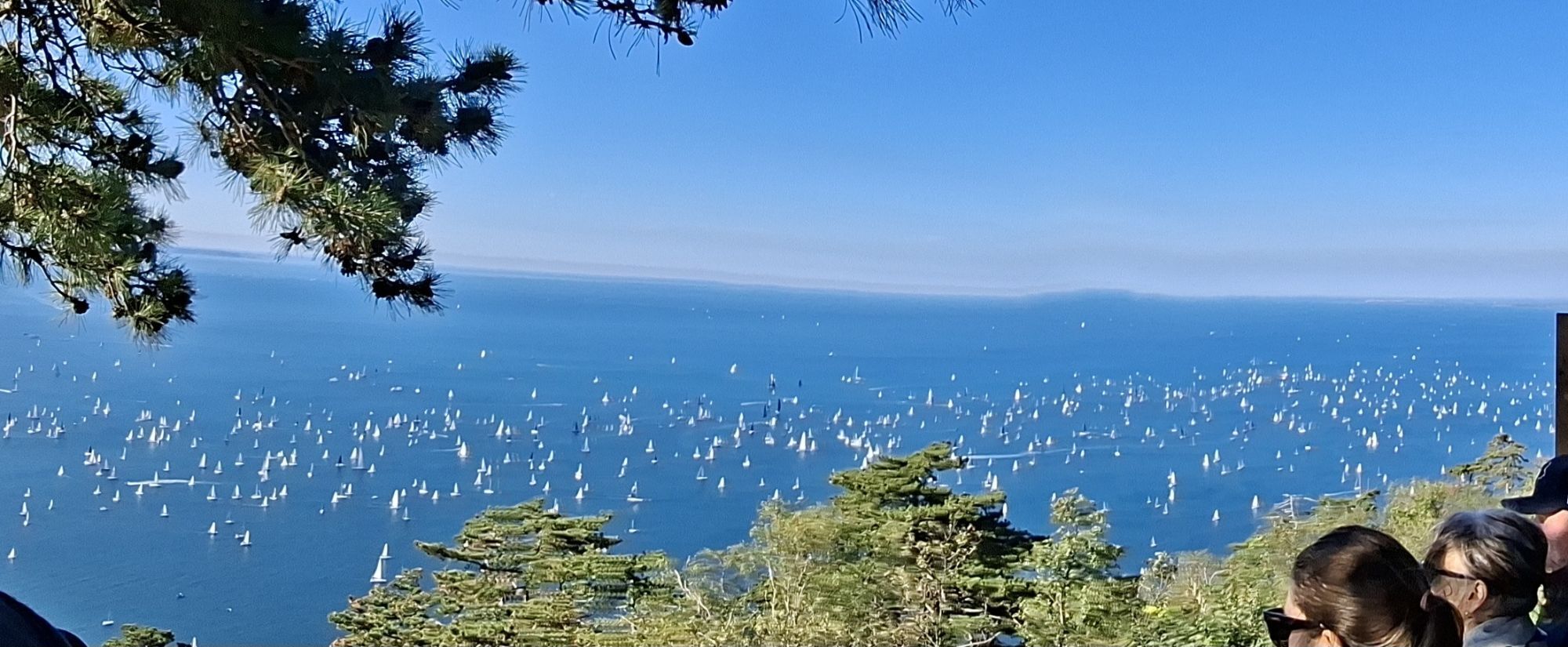
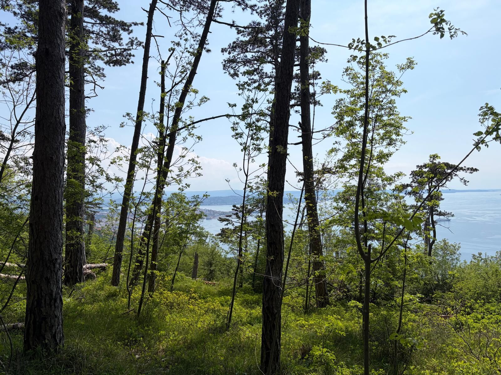
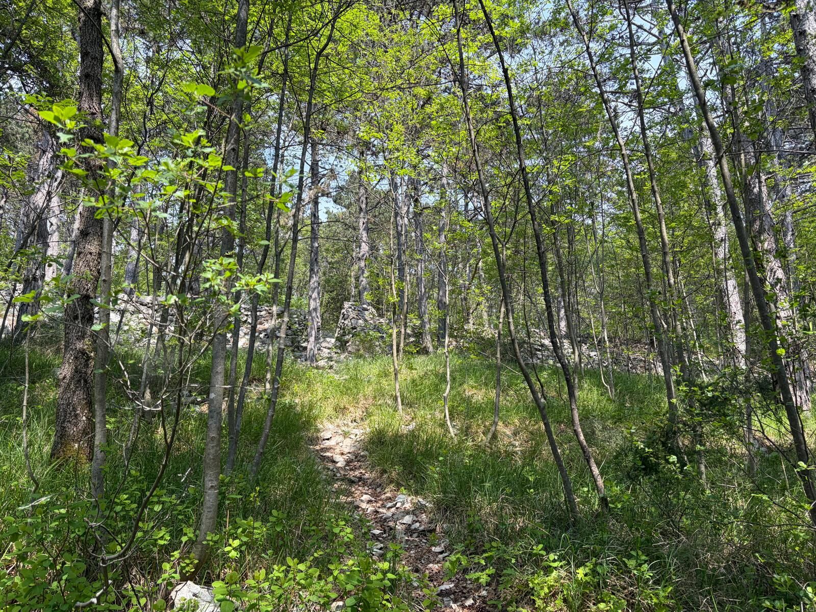
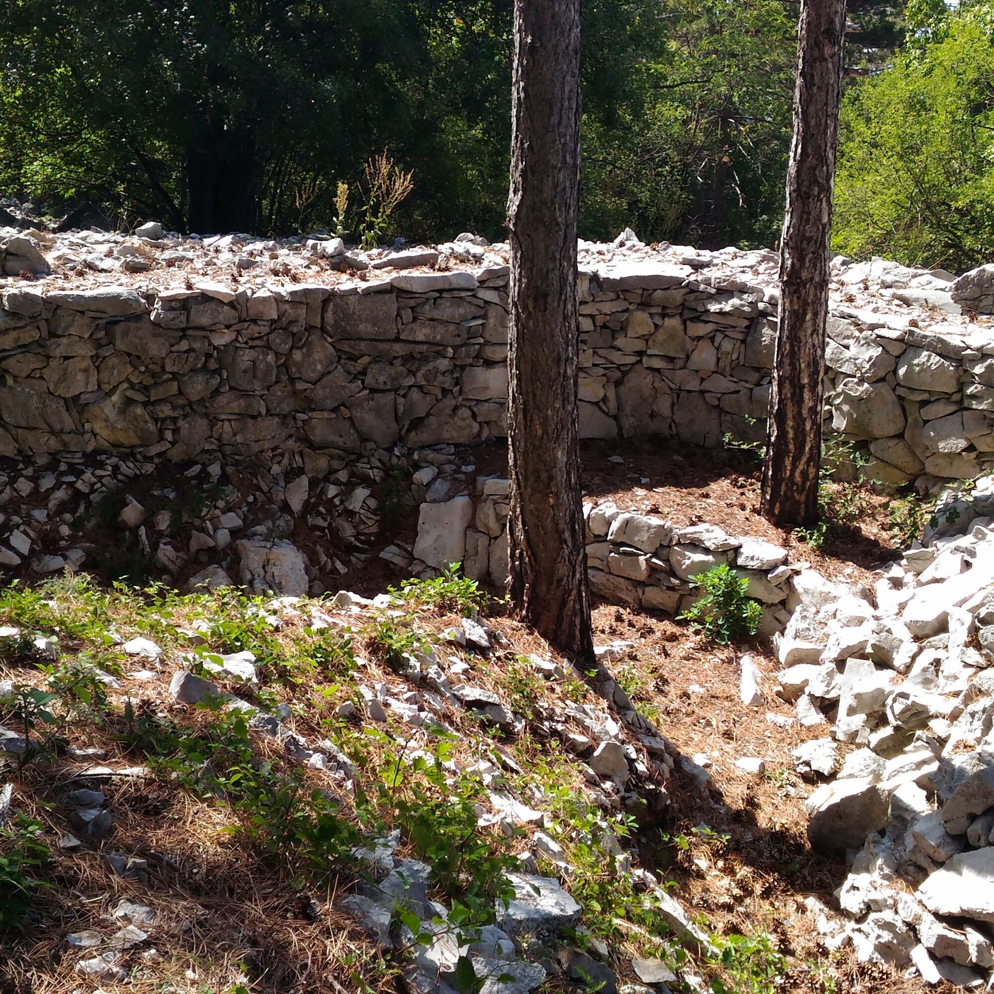
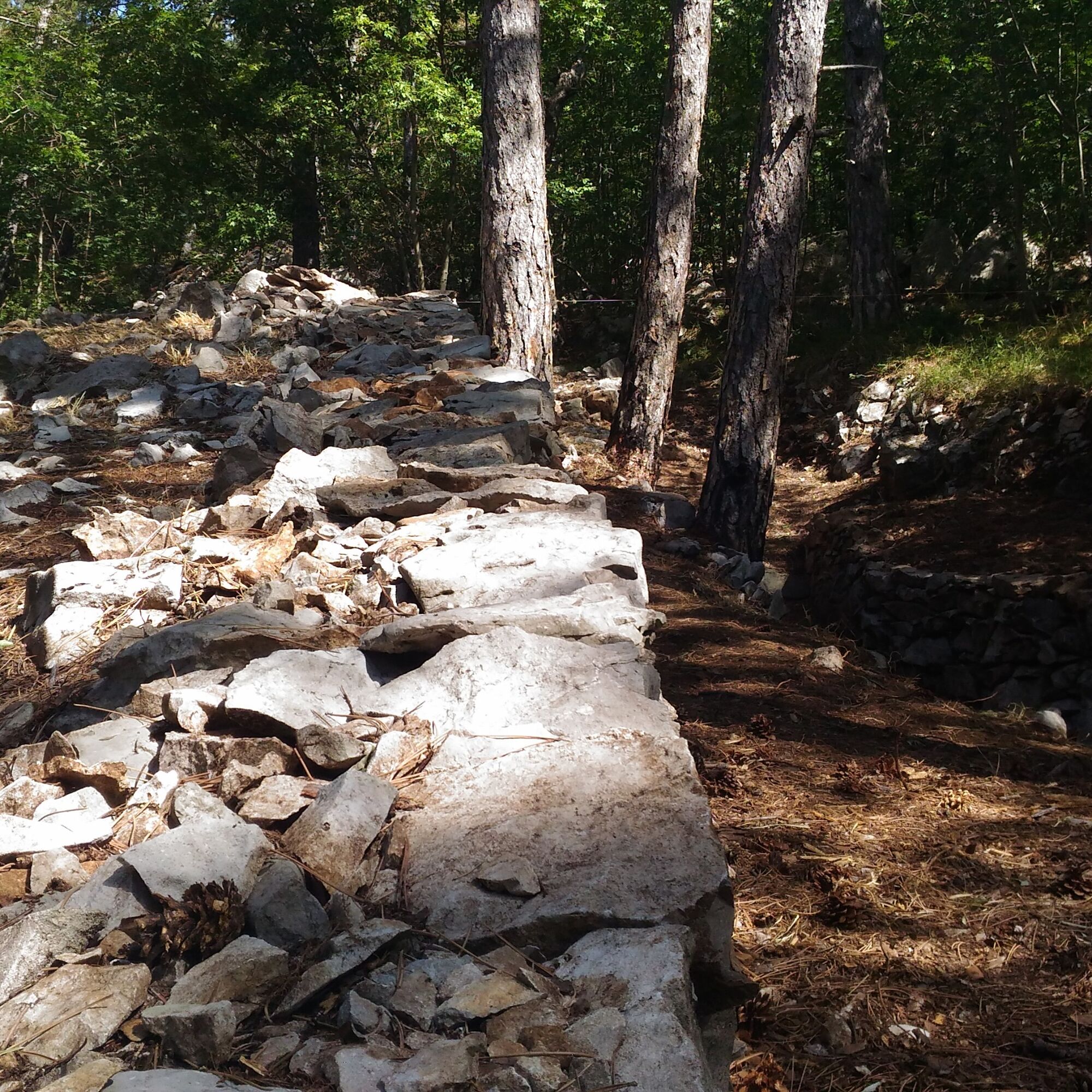
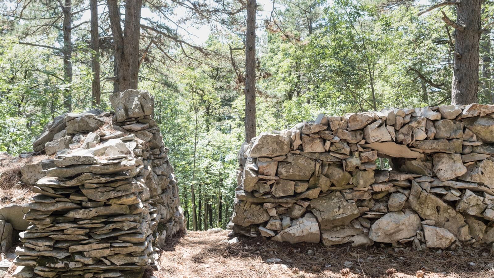
The trail crossing the park, immersed in the Karst landscape, is easy to walk and offers striking views over the Gulf of Trieste. The first section of the park, reachable in around 10 minutes by following a path through the vegetation, includes two accessible trench sections where visitors can observe the dry-stone retaining walls and the defensive solutions designed to improve the soldiers’ firing positions. Continuing along the track, the route joins a forest road leading to the next two stops: uphill lies a trench equipped with several loopholes interrupted by an access passage. Retracing the route and finally following CAI trail 12, visitors reach the last site: a fortified position featuring two caves and a communication trench. Continuing along CAI trail 12 eventually leads back towards the Sanctuary of Monte Grisa and the parking area.

Suitable sportswear, footwear appropriate for uneven ground and trekking poles are recommended. Visitors are also advised to bring an adequate supply of water.
This itinerary can be explored all year round. Please note the presence of a fallen tree at the beginning of the trail; however, it can be easily bypassed or stepped over. Check the weather forecast before departure and be aware of vegetation along the first half of the route, especially during summer.
From Muggia: travel the motorway RA13 and take the exit for Prosecco following the SP35 until the first crossroads. Here turn left in direction of Monte Grisa and soon after turn left again and after a few metres, you will find the road on the right that leads to the Shrine. From here continue to the car park.
From the centre of Trieste: reach Piazza Libertà (opposite the train station) and continue on Via Sant'Anastasio, turning left at the first crossroads (Via Udine). From this moment, continue straight ahead until reaching the centre of Prosecco after 8 km. At the crossroads, turn right on the SP1 and follow the indications for the Santuario (about 2,5 km).
The Shrine of Mount Grisa can be reached from Trieste by bus 42.
T2
Popularne wycieczki w okolicy
-
4,9
Rilkeweg
światłoWędrówka 6,19 km -
5,0
Val Rosandra Rundwanderung
średniWędrówka 8,06 km -
4,6
Triest-Opicina (Obelisk) nach Prosecco
światłoWędrówka 4,28 km -
5,0
Val Rosandra,San Dorligo della Valle, kleine Runde
średniWędrówka 7,42 km -
5,0
Etappe 34 Alpe-Adria-Trail: Duino - Prosecco
średnidługodystansowy szlak pieszy 24,3 km -
Triest i Koper / Koper Ring (R050)
średniKolarstwo długodystansowe 52,3 km -
5,0
Trieste - Giordano Cottur / Viadotto panoramico
światłoMountainbike 36,7 km -
5,0
Etappe 35 Alpe-Adria-Trail: Prosecco – Lipica
średnidługodystansowy szlak pieszy 20,8 km -
4,0
Loop on the Derin trail and Globojner Park
średniWędrówka 7,36 km -
5,0
Sage Trail or Tiziana Weiss
światłoWędrówka 2,41 km

Wędrówki i tropienie


Nie przegap ofert i inspiracji na następne wakacje
Twój adres e-mail została dodana do listy mailingowej.