






Ta Stara Pot - The old path
Poziom trudności: T2
Immersed in the heart of Val Resia, Ta Stara Pot is a journey through time along ancient paths that, for centuries, have connected the small hamlets of the valley. Walking on these historic tracks, you...
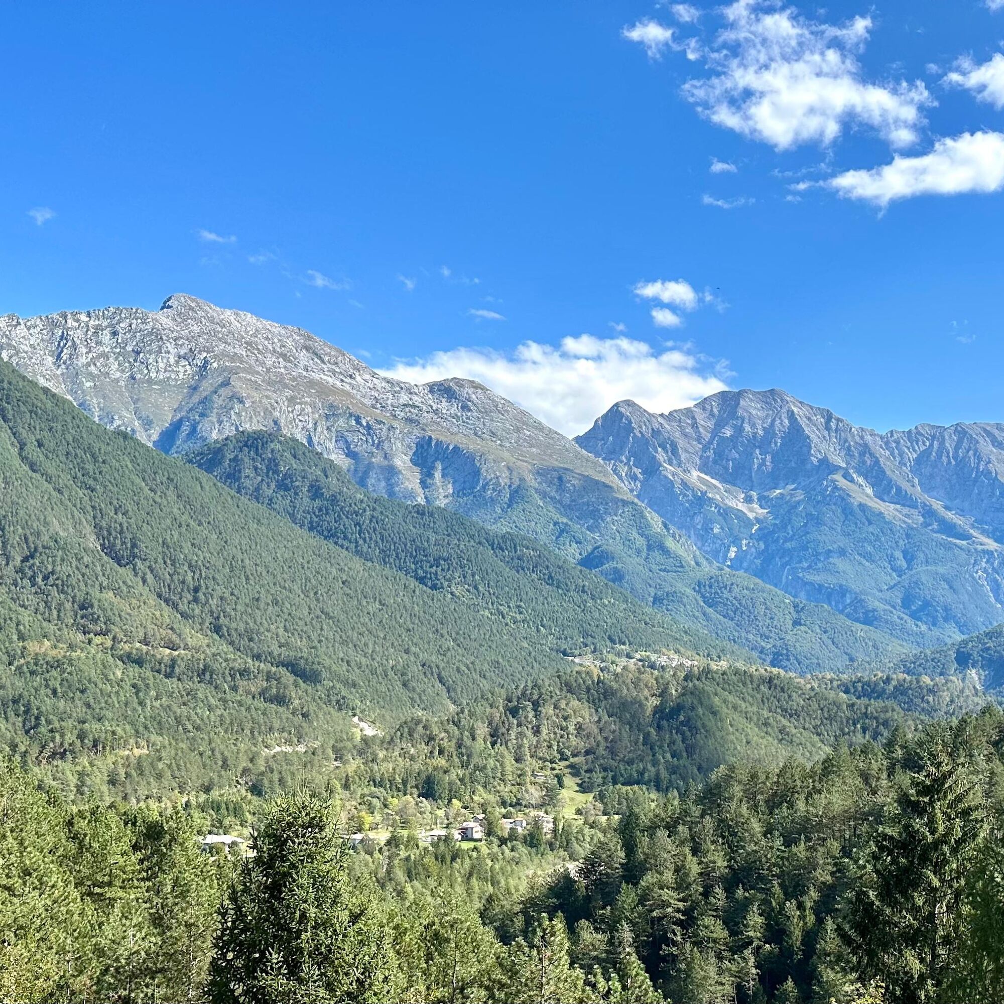
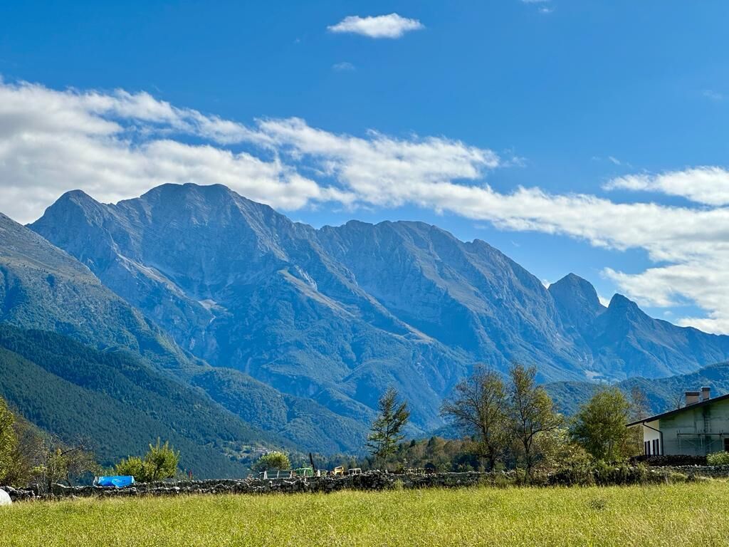
Immersed in the heart of Val Resia, Ta Stara Pot is a journey through time along ancient paths that, for centuries, have connected the small hamlets of the valley. Walking on these historic tracks, you cross dense beech woods, follow streams with crystal-clear waters and suddenly open up to views of flowered meadows and villages with authentic charm.
Every step tells the story of a unique valley, where the Resian culture has kept its identity alive. Along the way, the silence of nature intertwines with the sound of flowing water and mountain scents, offering a sensory and profound experience.
Perfect for trekking and discovery lovers, Ta Stara Pot is more than a trail: it is an opportunity to immerse yourself in unspoiled nature and rediscover the bond between man and land. An invitation to walk slowly, letting yourself be guided by the rhythm of the valley.


From Tiglio square, in the hamlet of Prato di Resia, first follow the paved road and then the cycle path until you reach the hamlet of San Giorgio.
Leave via Prato to turn right onto via Campagna, then turn left onto a path that leads back to the paved road on via Resiutta.
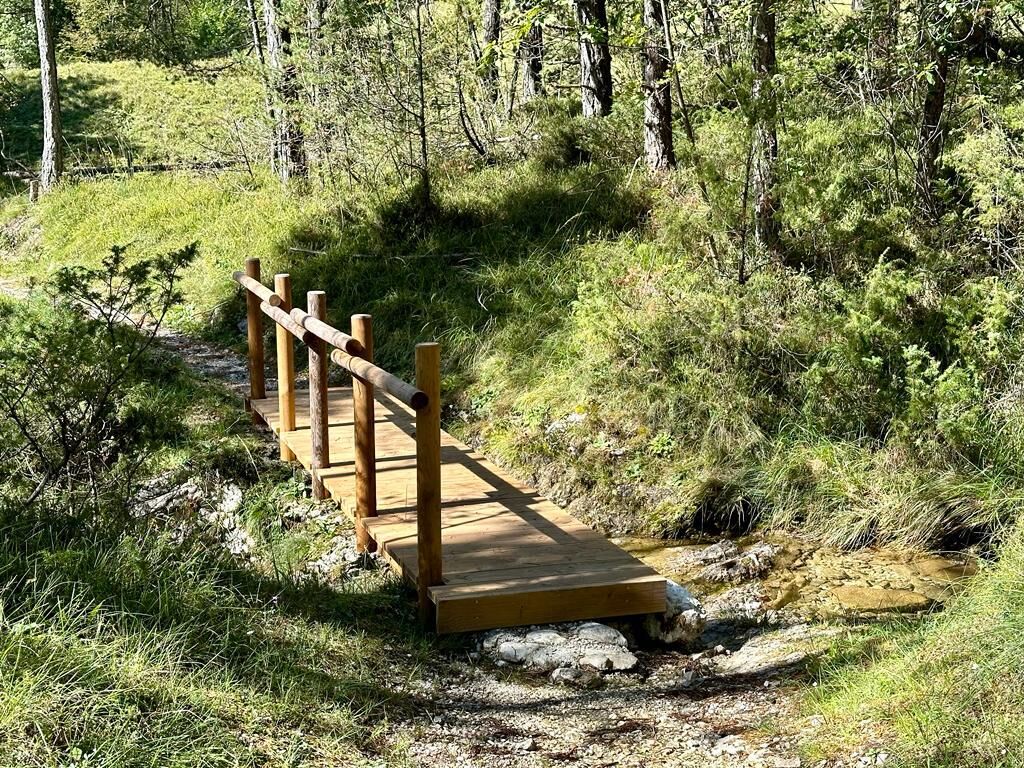
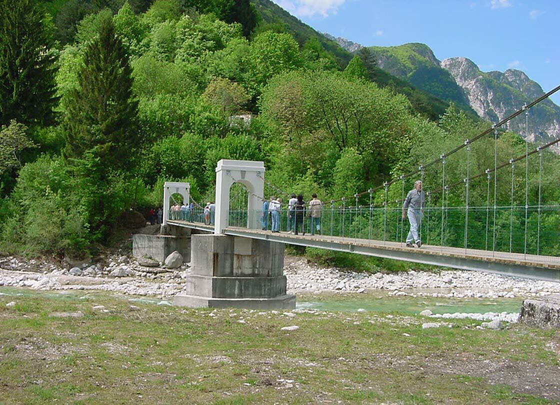
Go down the road until you cross the locality of Tigo, where you take the footbridge crossing the Resia stream. After the small bridge, turn right and continue on an easy path until you reach the locality Gost. From here, continue on the road until you descend to the hamlet of Lischiazze.
Continue on the paved road for a short stretch, then turn right near a votive icon. Once you cross Rio Barman, enter the woods where a path allows you to reach the hamlet of Gniva.
After crossing the hamlet, near a hairpin bend, leave the paved road by continuing to the right until you reach the hamlet of Oseacco.
Head east crossing all of Oseacco, then take via Cardinale Poma and continue straight towards the locality Braida.
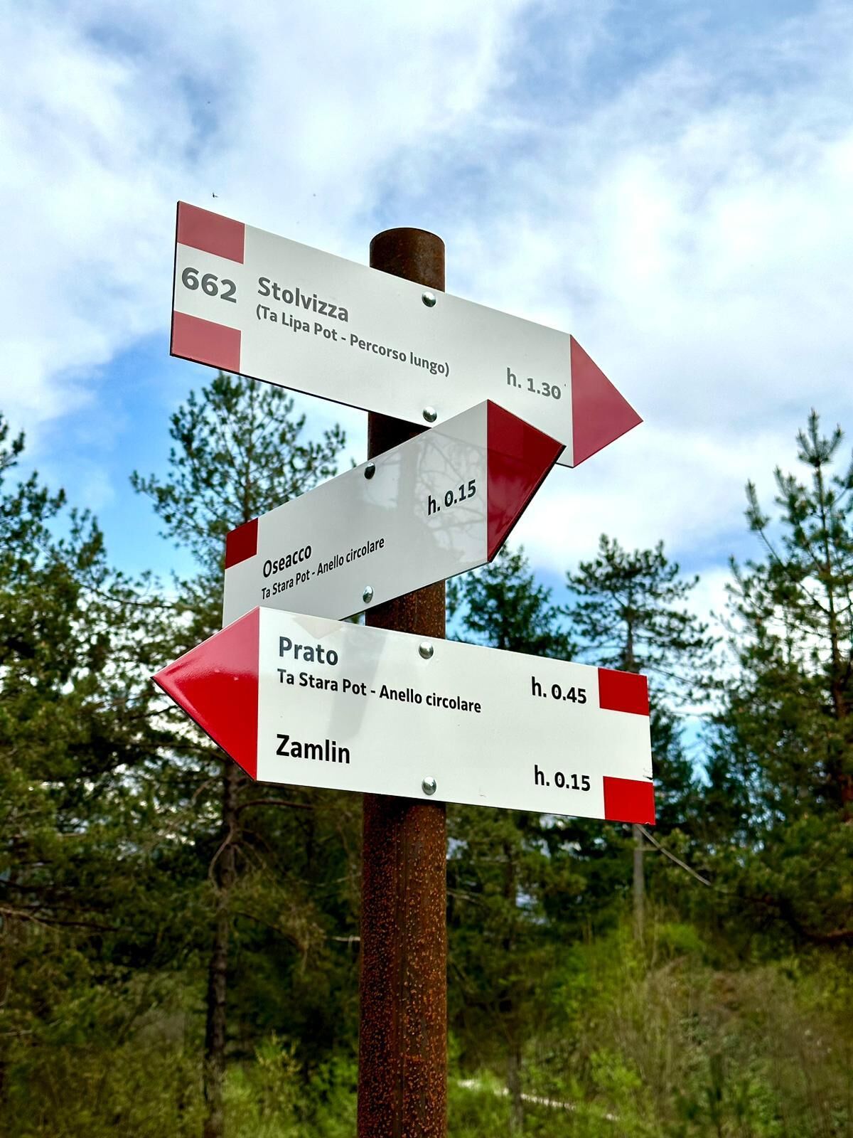
Take the paved road and after crossing the bridge over the Resia stream and the "Al Ranch" campsite, turn left again on a path and continue straight along CAI trail 662b until you reach via Tesa.
From the intersection with the paved road, in a few minutes you return to Prato di Resia, the starting point of the itinerary.
Tak
It is recommended to have appropriate equipment for outdoor activities:
Rain jacket; Long pants; T-Shirt; Sweatshirt; Hiking shoes or boots; Hat; Water and snacks; First aid kit; Tick repellent sprayIn case of injuries, the number to call is 112 NUE
Ticks are present throughout the Friuli Venezia-Giulia region, so it is recommended to learn prevention and protection techniques: Tick information Friuli Venezia Giulia region
The route is not recommended after and during adverse weather conditions such as rain, snow and during the hottest summer hours.
The hamlet of Prato di Resia is conveniently reachable via SP42. From SS13-Pontebbana, heading towards Tarvisio, turn right at Resiutta and follow the signs for Prato.
Prato di Resia can also be reached from Tarcento, following SR646 towards Uccea. At Uccea, turn left following the signs to Sella Carnizza and then continue on the same road until passing the hamlet of Lischiazze and reaching the intersection with SP42. From here, follow the signs for Prato.
NOTE WELL: The Uccea-Sella Carnizza road is often subject to safety maintenance work. Before following these directions, check its opening status.
Bus
Some local public bus lines are available in Val Resia. To know schedules and stops view the PDF file at this link: click here or visit the website of TPL FVG.
Train
The nearest useful station is Carnia Station, over 20km away from the itinerary starting point.
Several free parking lots are available near the Park Visitor Center and in the hamlet.
T2
It is recommended to take home all types of waste and preserve the places crossed as best as possible.
Remember that collecting plant species or parts of them is prohibited within the Natural Park and may be subject to restrictions as per Regional Law 7/2009 in external areas. At this link you can consult the list of protected species.
Note that inside protected areas dogs must be kept on a leash.
To fully experience the uniqueness of Val Resia, it is highly recommended to visit the museums of Val Resia and the visitor center of the Prealps Julian Natural Park and to try some typical dishes in one of the local places in the valley.


Popularne wycieczki w okolicy
-
4,4
Cima di Terra Rossa
Wędrówka 4,90 km -
4,8
Cima di Terrarossa
średniWycieczka wysokogórska 9,35 km -
5,0
Prestreljenik Window (2390 m) – dramatic view of the Western Julian Alps
średniWycieczka narciarska 14,5 km -
4,7
Loop of Val Venzonassa
średniWędrówka 9,74 km -
5,0
Monte Stella, między małymi wioskami i rozległymi widokami
światłoWędrówka 9,18 km -
4,3
Stol Nord
średniMountainbike 37 km -
4,0
Góra Cuarnan
światłoWędrówka 4,81 km -
3,0
Curtissons
Wycieczka narciarska 8,50 km -
4,9
Chiusaforte - Raccolana - Forcella Monte Jama - Monte Jama
ciężkiWędrówka 11,1 km -
5,0
Ta Lipa Pot - Long route
średniWędrówka 7,62 km
Wędrówki i tropienie


Nie przegap ofert i inspiracji na następne wakacje
Twój adres e-mail została dodana do listy mailingowej.





