






Brestovec historic route
Near Monte San Michele, it is possible to explore the Monte Brestovec Historic Route. The top of the mountain, at 208 meters above sea level, was an observation and control point of the Austro-Hungarian...
Near Monte San Michele, it is possible to explore the Monte Brestovec Historic Route. The top of the mountain, at 208 meters above sea level, was an observation and control point of the Austro-Hungarian army and became an Italian trench line after the Sixth Battle of the Isonzo. The itinerary, well marked and easy to walk, is designed as a historical-educational loop path to stimulate critical reflection on war, peace, life, and the experience of soldiers at the front. The route starts near the Sports Center of San Michele del Carso and continues along Via Devetaki towards Brestovec. After about half an hour of walking, you will reach the trench line. Beyond it, you will find the Cannoniera, fully visitable, which currently hosts installations with historical information and stories of the life of an Italian soldier and an Austro-Hungarian one. To return to the starting point, you must take the CAI 74 path.

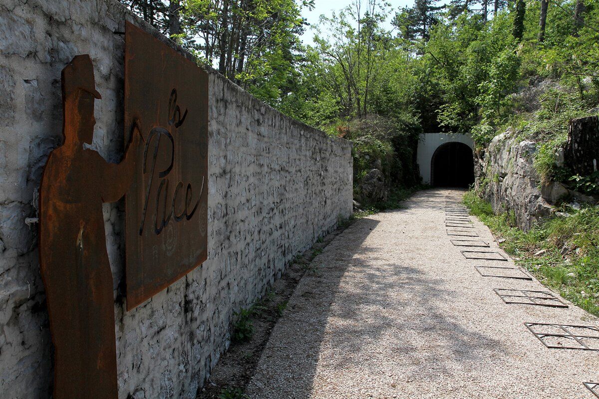
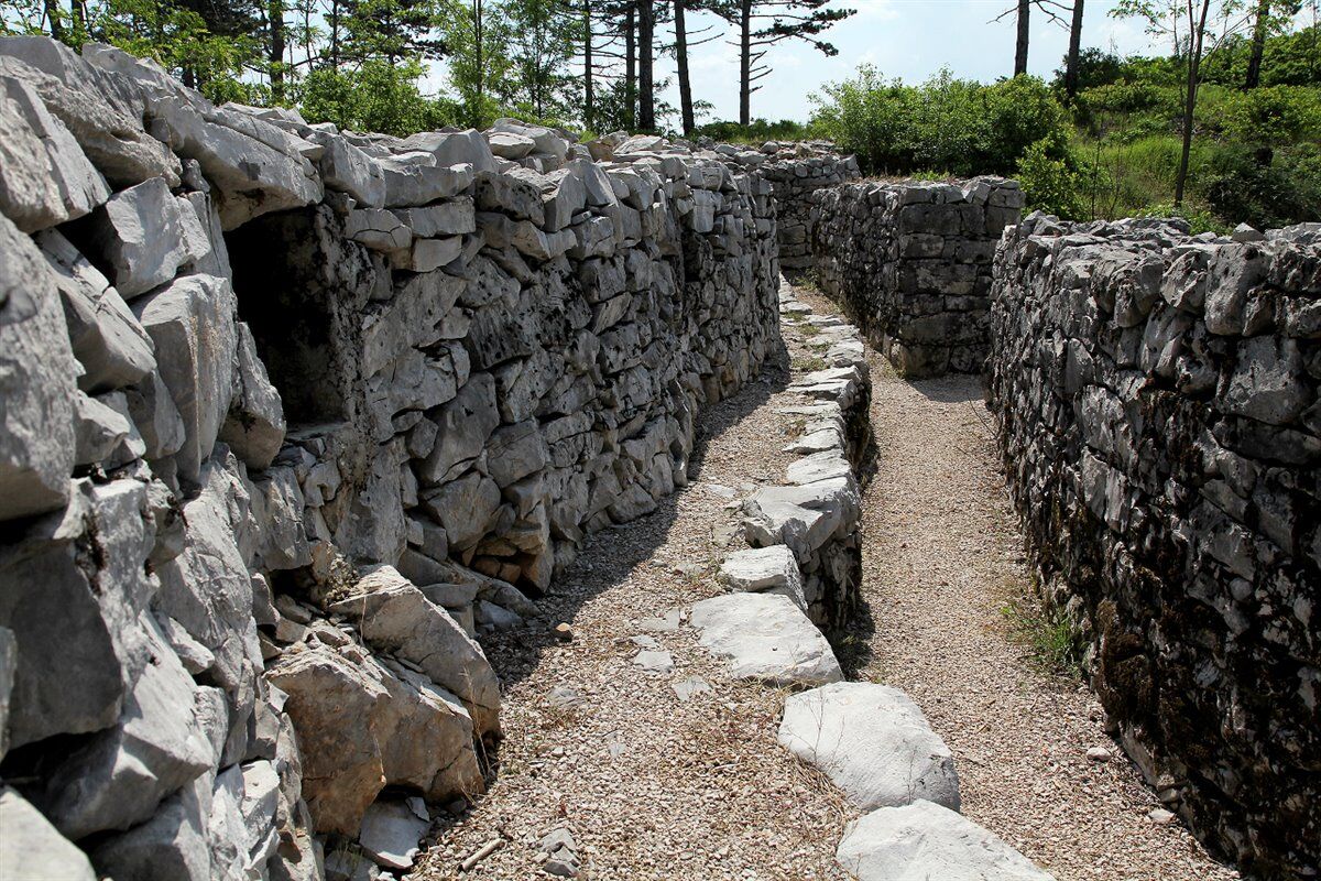
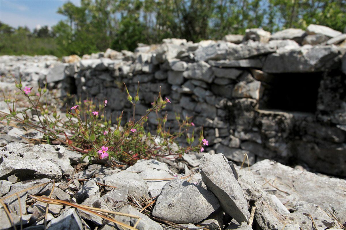

The starting point is set near the parking lot of the Sports Center of San Michele del Carso, in the hamlet of Còtici Inferiore. After getting off your vehicle, continue slightly downhill along Via Devetaki until the intersection, where turn left and continue until you find the first road on the right which, after a few meters, becomes a dirt path. At the last houses, turn left, always following the signs indicating Brestovec. After walking for about half an hour, on your left you reach the Italian trench line, the first stop of the route. Following its path along the northeast ridge, it is possible, after passing a Cold War-era observation post, to take the path that in a few minutes leads to the Monte Brestovec Cannoniera, undoubtedly the most interesting point of the entire route. At the exit, a small clearing on the left offers a spectacular panorama to the southeast, over the karst plateau, while on the right is the CAI 74 path which, in just over half an hour, returns to Còtici Inferiore.
Tak
An adequate supply of water and food, suitable sportswear, proper mountain footwear, trekking poles, and a light source for visiting the caves are recommended.
Path accessible all year round, pay attention to the weather forecasts
From the A4 motorway, take the Redipuglia-Monfalcone west exit and follow the signs for Sagrado/Gorizia along State Road SS305. Upon arrival in Sagrado, turn right onto Provincial Road SP9 towards San Martino del Carso and Monte San Michele. After passing through the village of San Martino, continue straight for 1.5 km until you find on your left the signs for San Michele del Carso and the Monte Brestovec Route. Once in San Michele, continue until you find signs on the right for the Sports Center (Via Devetaki).
Parking at Via Devetaki, 37 in San Michele del Carso - 34070 San Michele del Carso
In the autumn months, you can enjoy the characteristic foliage of the Karst.
Popularne wycieczki w okolicy
-
4,9
Rilkeweg
światłoWędrówka 6,19 km -
4,0
Rundgang von Cormons
światłoWędrówka 7,31 km -
Collio - Pierścień Brda (R014)
średniKolarstwo długodystansowe 60,6 km -
Carsus Trail - a long-distance trail through the Karst region of Slovenia and Italy
średnidługodystansowy szlak pieszy 102,2 km -
Etappe 33 Alpe-Adria-Trail: Gradisca d'Isonzo - Duino
średnidługodystansowy szlak pieszy 27,8 km -
Cividale del Friuli - Gorizia (C304)
średniKolarstwo długodystansowe 39,4 km -
Szlak Vigne Alte: pełna pętla z Pradis, Spessa i Subida
średniWędrówka 14,0 km -
5.Etappe: Gradisca-Triest 40km, 150Hm
światłoJazda na rowerze 40,0 km -
Szlak rowerowy - Brda, dolina Vipavy, Kras
ciężkiJazda na rowerze 93,3 km -
JULIANA TRAIL – stage 20: Šmartno - Solkan
ciężkiWędrówka 13,3 km
Wędrówki i tropienie


Nie przegap ofert i inspiracji na następne wakacje
Twój adres e-mail została dodana do listy mailingowej.





