


Cammino delle Pievi della Carnia Stage 4 from Cesclans to Villa di Verzegnis
The route starts at the Pieve and follows a paved road to the bridge over Rio Faeit. After the trattoria “Al Pescatore,” take a gravel road that leads to the base of the ridge and then continues for five...
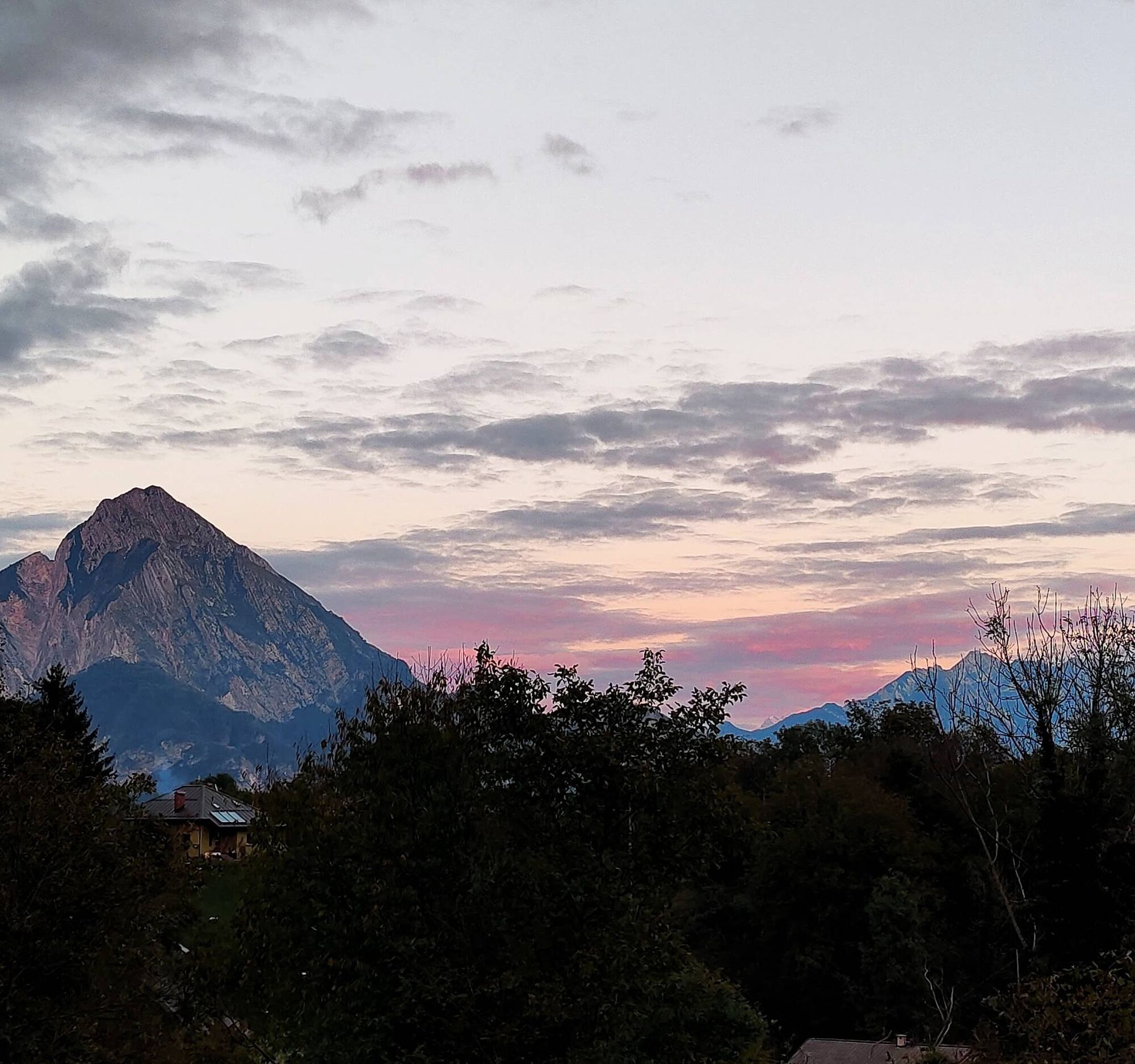
A paved road can be followed from Pusea to the small church of Sella Dueibis. Next, one can cross the bridge over Lake Verzegnis and climb toward Chiaicis, continuing to the right on a steep ascent to Villa di Verzegnis, where the Pieve di San Martino and the “Stella d'oro” restaurant are located.
From Cavazzo Carnico, follow SP 512 in the direction of Tolmezzo. Take a road near the soccer field and go up the orographic left of the Rio for 1 km to the second bridge where you meet the route coming from Cesclàns.

Tak
Popularne wycieczki w okolicy
-
4,3
Monte Festa, a mountain rich in history
średniWędrówka 13,5 km -
4,8
Monte Cuar loop
średniWędrówka 7,26 km -
3,5
10 thousand health steps FVG -CAVAZZO CARNICO AND BORDANO
światłoWędrówka 8,68 km -
4,5
Loop of Val Venzonassa
średniWędrówka 9,74 km -
5,0
Moggio Udine
średniWędrówka 10,8 km -
4,8
Brancot, Palantarins e Tre Corni da Braulins
średniWędrówka 8 km -
3,7
Moggio Udinese, Italien
ciężkiMountainbike 21,3 km -
5,0
Loop of M. Amarianute, balcony over Tolmezzo
średniWędrówka 7,22 km -
5,0
Villa Santina: La Farina del Diavolo (C)
średniVia ferrata 6,10 km -
4,0
Pierścień nad jeziorem Cavazzo (R017)
średniKolarstwo długodystansowe 32,3 km

Wędrówki i tropienie


Nie przegap ofert i inspiracji na następne wakacje
Twój adres e-mail została dodana do listy mailingowej.