Nawigacja
Pobierz tę trasę na swój telefon komórkowy
Mapa
MTB: Magredi del Cellina and the Meduna Springs (M005)

światło
Mountainbike
47,59 km
Zeskanuj kod QR i rozpocznij nawigację w aplikacji bergfex.
QR Code
Wędrówki i tropienie
Pobierz dla iOS
Pobierz dla systemu Android

MTB: Magredi del Cellina and the Meduna Springs (M005)

światło
Mountainbike
Odległość
47,6 km
Czas trwania
04:00 h
Ascent
138 hm
Poziom morza
13 - 199 m

Poziom trudności: ■

Ścieżka do pobrania
Mapa
MTB: Magredi del Cellina and the Meduna Springs (M005)
światło
Mountainbike
47,59 km

The trail winds through the Magredi, a landscape unique in all of Italy. The route offers the chance to immerse yourself in a truly significant part of our region: vast, arid, rocky heathlands formed by...

Opis
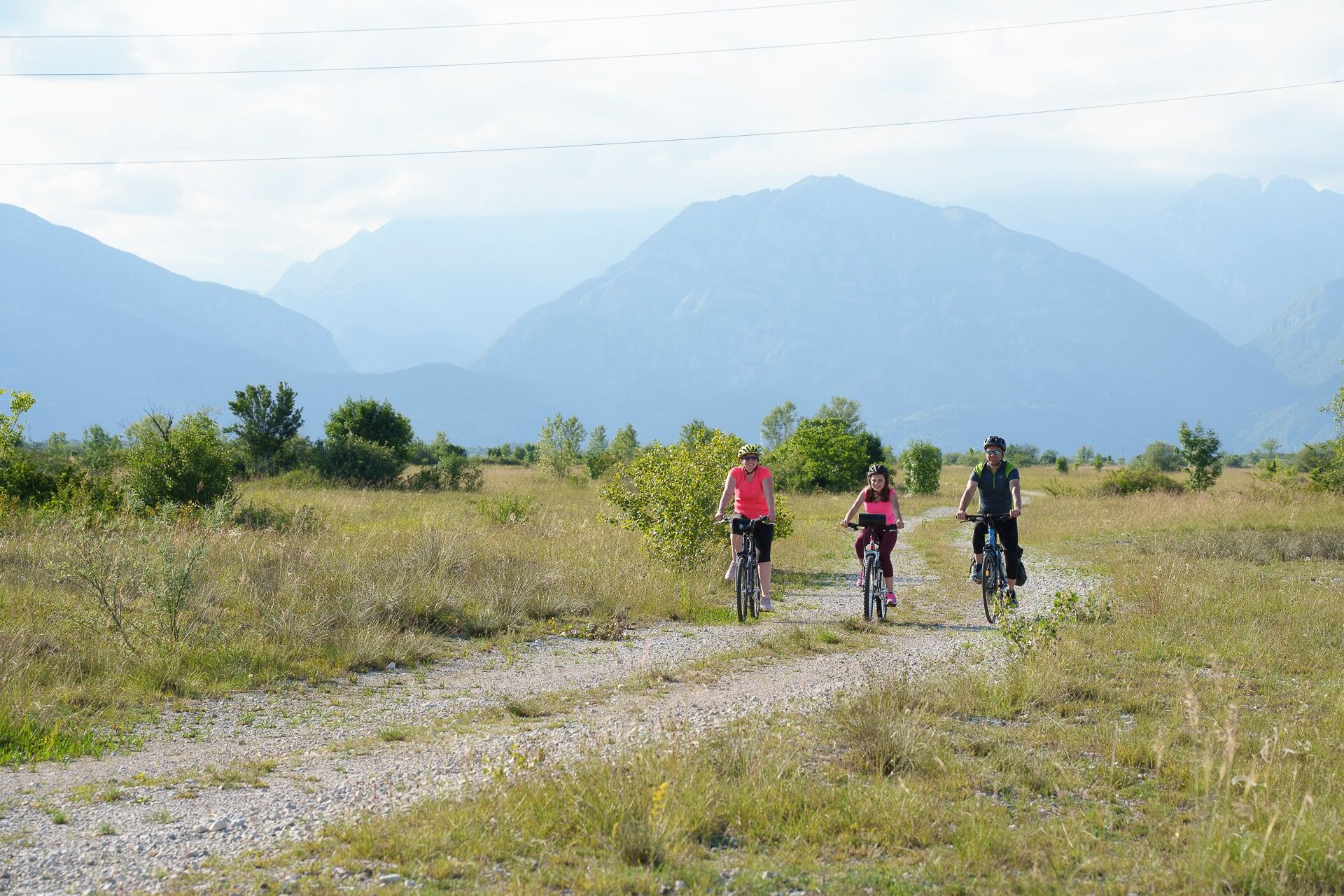
The trail winds through the Magredi, a landscape unique in all of Italy. The route offers the chance to immerse yourself in a truly significant part of our region: vast, arid, rocky heathlands formed by the transport of gravel and boulders from the Cellina Stream. The route takes us through the countryside of the Pordenone plain until we reach the right bank of the Cellina stream, which is slightly elevated above the plain, offering a view of the Magredi. We arrive near the confluence of the Cellina and Meduna streams, where the natural environment changes: the moors give way to the wooded vegetation typical of semi-humid areas. The pools and springs of the Venchiaruzzo are visible both directly along the route and in the immediate vicinity. The streams and canals, formed by the flowing waters, crisscross the plain along the stretch leading back to Pordenone, where you’ll cycle along a dirt path through the Seminary Park and then on bike paths until you reach the starting point.


Trasa
Trasa
Mapa
MTB: Magredi del Cellina and the Meduna Springs (M005)
światło
Mountainbike
47,59 km
Pordenone
(26 m)
Stacja kolejowa
0,0 km
Pordenone / Pordenon
(20 m)
Miasto
0,6 km
Torre / Tor
(27 m)
Sąsiedztwo
3,5 km
Chiesa Sant'Ilario e Taziano
(23 m)
Miejsce kultu
3,5 km
Musil / Musìl
(25 m)
Rozliczenie
4,5 km
Casa Tamai
(27 m)
Korytarz/teren
4,8 km
Cordenons
(41 m)
Miasto
6,1 km
Sedrano / Sedran
(146 m)
Wioska
31,8 km
Villa d'Arco / Vile Sgrafe
(77 m)
Wioska
39,3 km
Chiesetta di San Valentino
(29 m)
Miejsce kultu
44,2 km
San Giorgio
(24 m)
Sąsiedztwo
45,4 km
Pordenone
(26 m)
Stacja kolejowa
45,8 km
Pordenone / Pordenon
(20 m)
Miasto
46,6 km
Informacje o wycieczce

The itinerary offers an immersive experience in the Magredi del Cellina, a landscape composed of vast, arid, and rocky heathlands formed by the transport of gravel and boulders from the stream of the same name.

Technologia
n.d.
Stan
2 / 6
Krajobraz
5 / 6
Doświadczenie
4 / 6
Najlepsza pora roku
Sty
Lut
Mar
Kwi
Maj
Cze
Lip
Sie
Wrz
Paź
Lis
Gru
Udostępnij trasę
Mapa
MTB: Magredi del Cellina and the Meduna Springs (M005)
światło
Mountainbike
47,59 km
Błąd
Wystąpił błąd. Spróbuj ponownie.
Informacje o trasie
Trasa
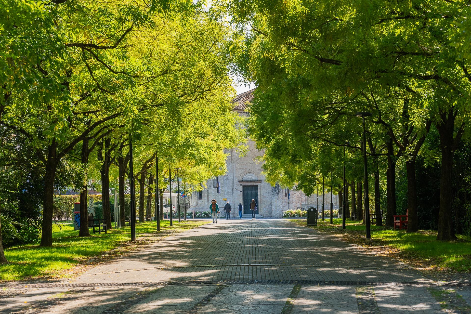
The route starts at the Pordenone train station and winds through the historic center on bike paths and through the suburbs on mixed-use roads with some traffic. Soon, however, you leave the city behind and come to some beautiful dirt roads leading toward San Quirino. The route climbs gradually through the countryside of the Pordenone plain until you reach the Cellina stream. The ride continues along the river’s right bank. Once you reach the area near the confluence of the Cellina and Meduna streams, you’ll ride along the Vinchiaruzzo springs. You’ll reach the hamlet of Torre and continue along the dirt road through the Seminario Park and then on bike paths until you return to the starting point.


Instrukcje bezpieczeństwa

Please be careful when leaving Pordenone

Informacje o przyjeździe
Przybycie
Take the A4 highway from Trieste to Venice, exit at Portogruaro, and continue on the A28 highway toward Conegliano; exit at Pordenone.

For those coming from Venice, take the A27 Venice-Belluno highway to Conegliano, where you’ll merge onto the A28 highway toward Portogruaro; take the Pordenone exit

.

Transport publiczny

Pordenone is located on the Udine-Venice rail line, which is served by frequent regional trains that allow bicycles on board.

Parking

Near the Pordenone train station and in the immediate vicinity (Marcolin Parking Lot and at the Galvani Business Center). Also directly along the route are the parking lots at the Torre Sports Field, those near the churches in Villa d’Arco and Sedrano, and the former ford area near the bridge over the Cellina Stream on State Road 53, near S. Foca.

Dodatkowe informacje i wskazówki
Poziom trudności

■

Wskazówki

Before heading back into town, we recommend taking a break in nature at the Vinchiaruzzo springs.

Wędrówki i tropienie

Wędrówki i tropienie

Pobierz dla iOSPobierz dla systemu Android
Wędrówki i tropienie
Ponad 550.000 propozycji wycieczek, szczegółowe mapy i intuicyjny planer tras sprawiają, że aplikacja jest niezbędna dla wszystkich entuzjastów przyrody.
bergfex