


The Carsus Trail, Stage 5: Sistiana / Sesljan – Jamlje
Poziom trudności: T2
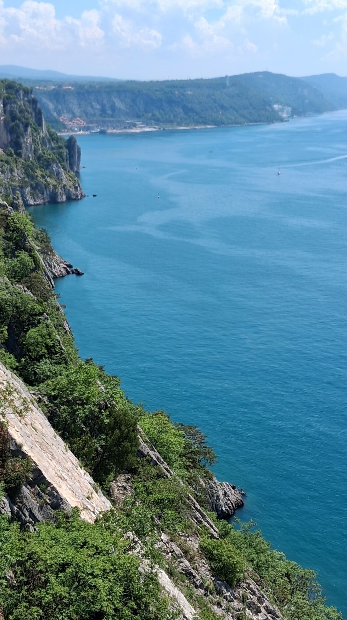
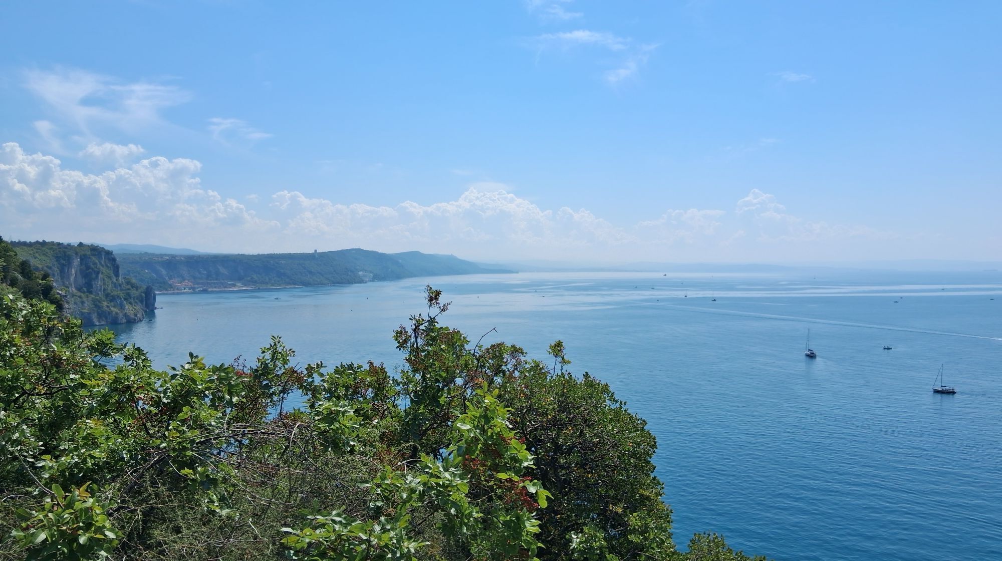
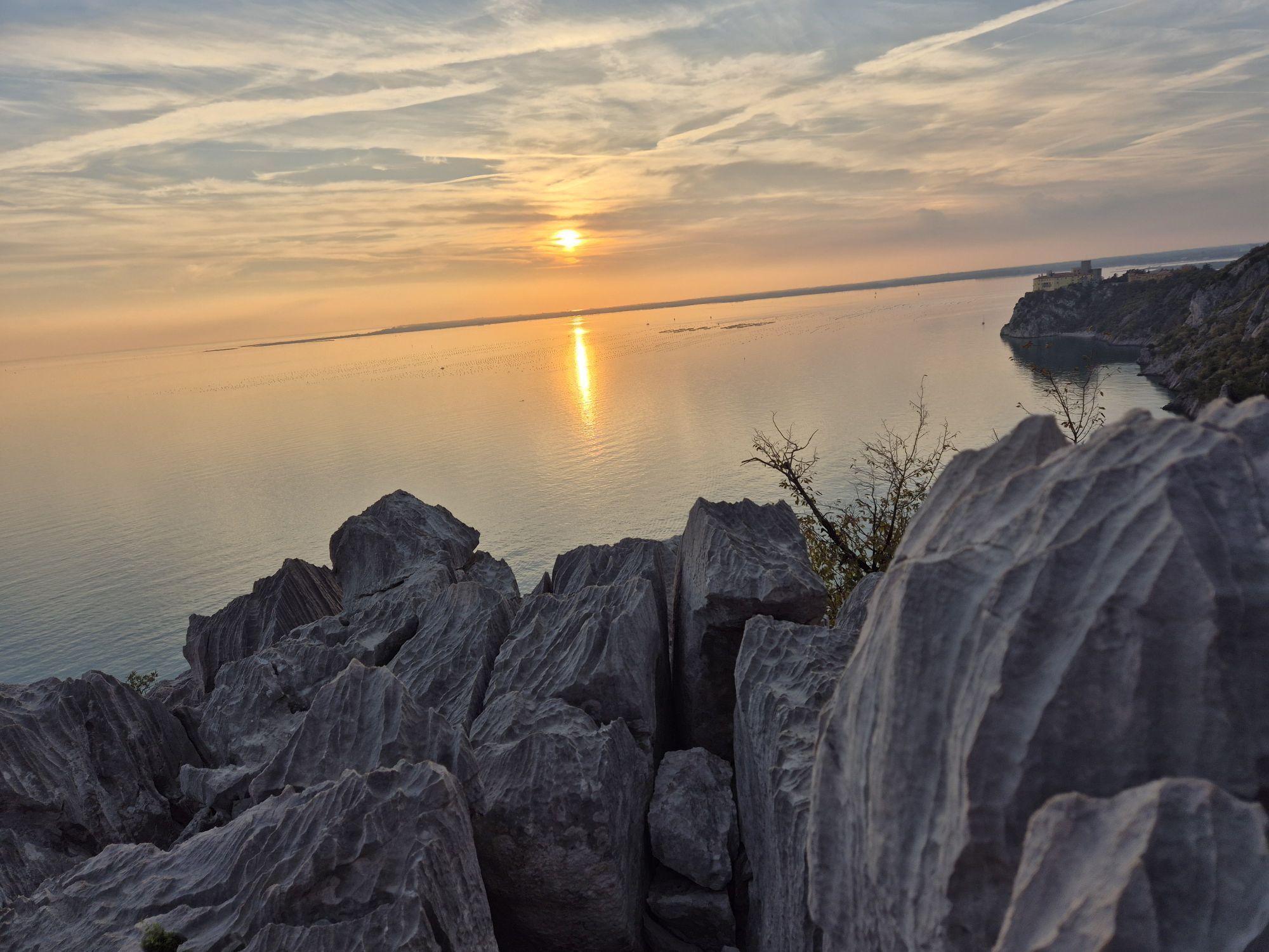
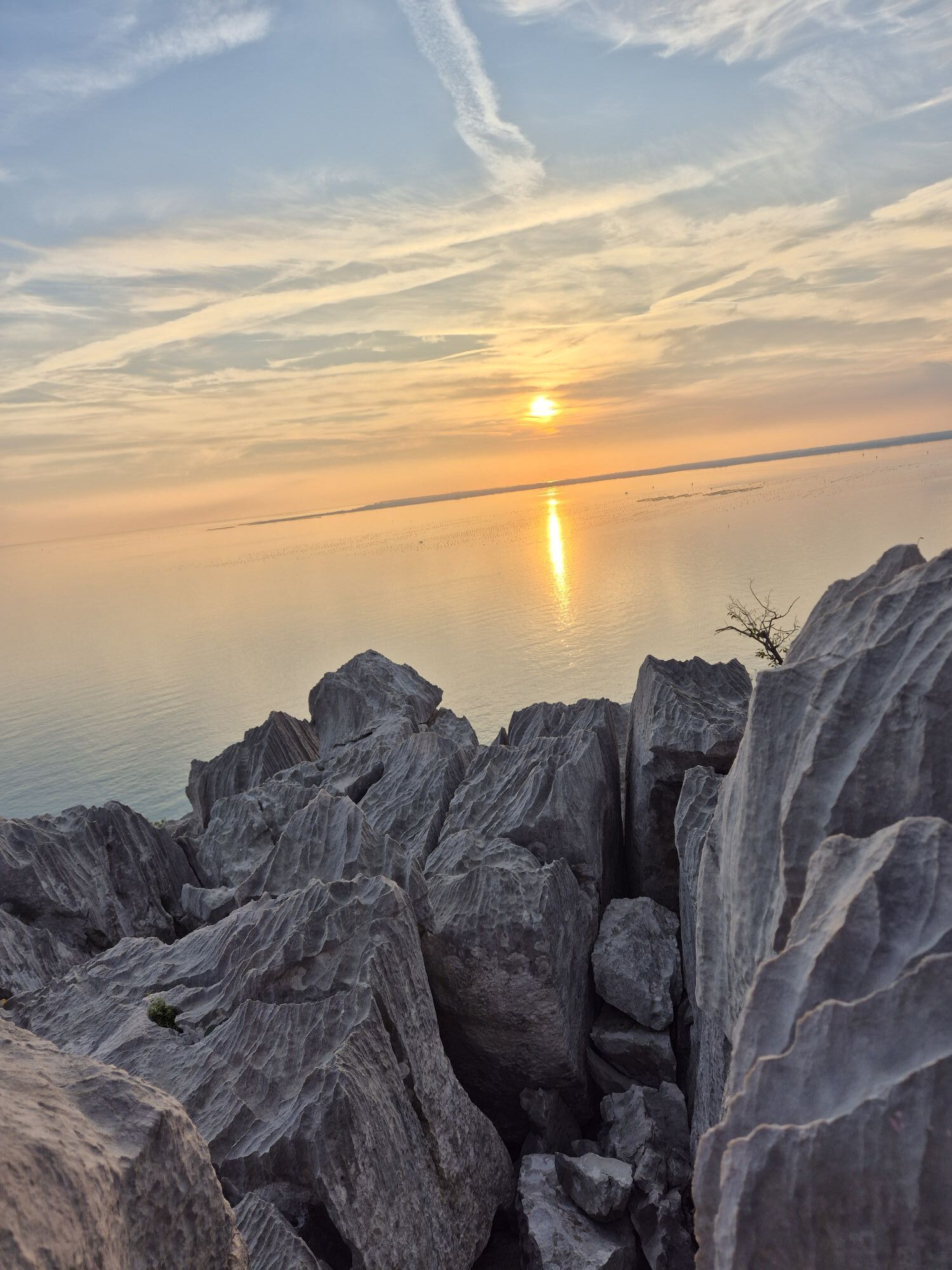
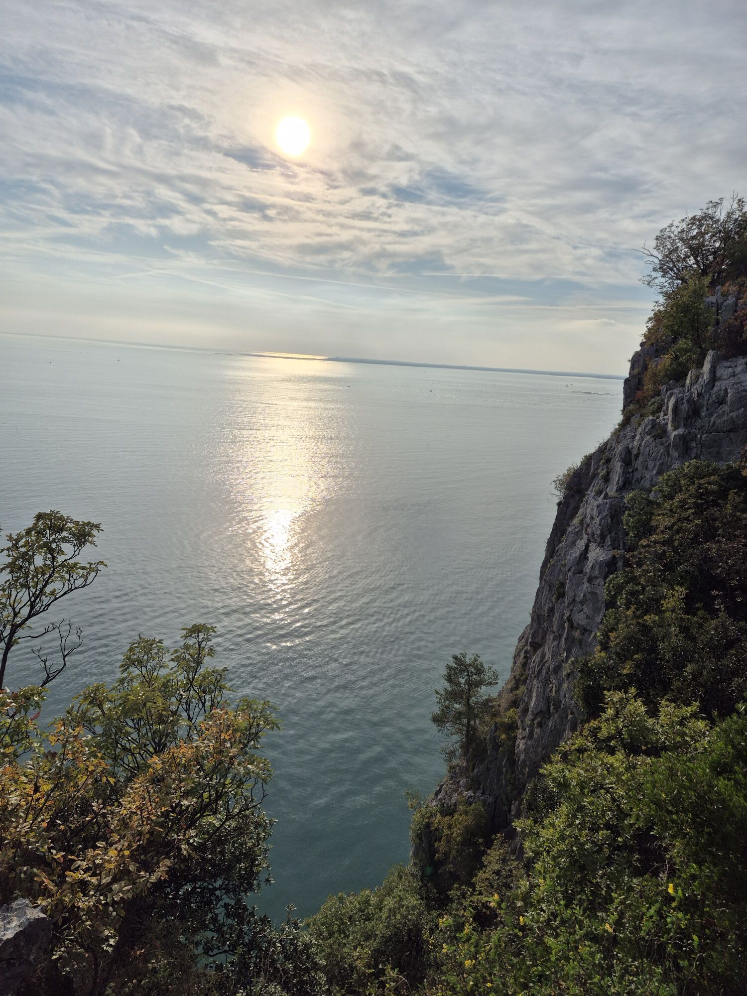
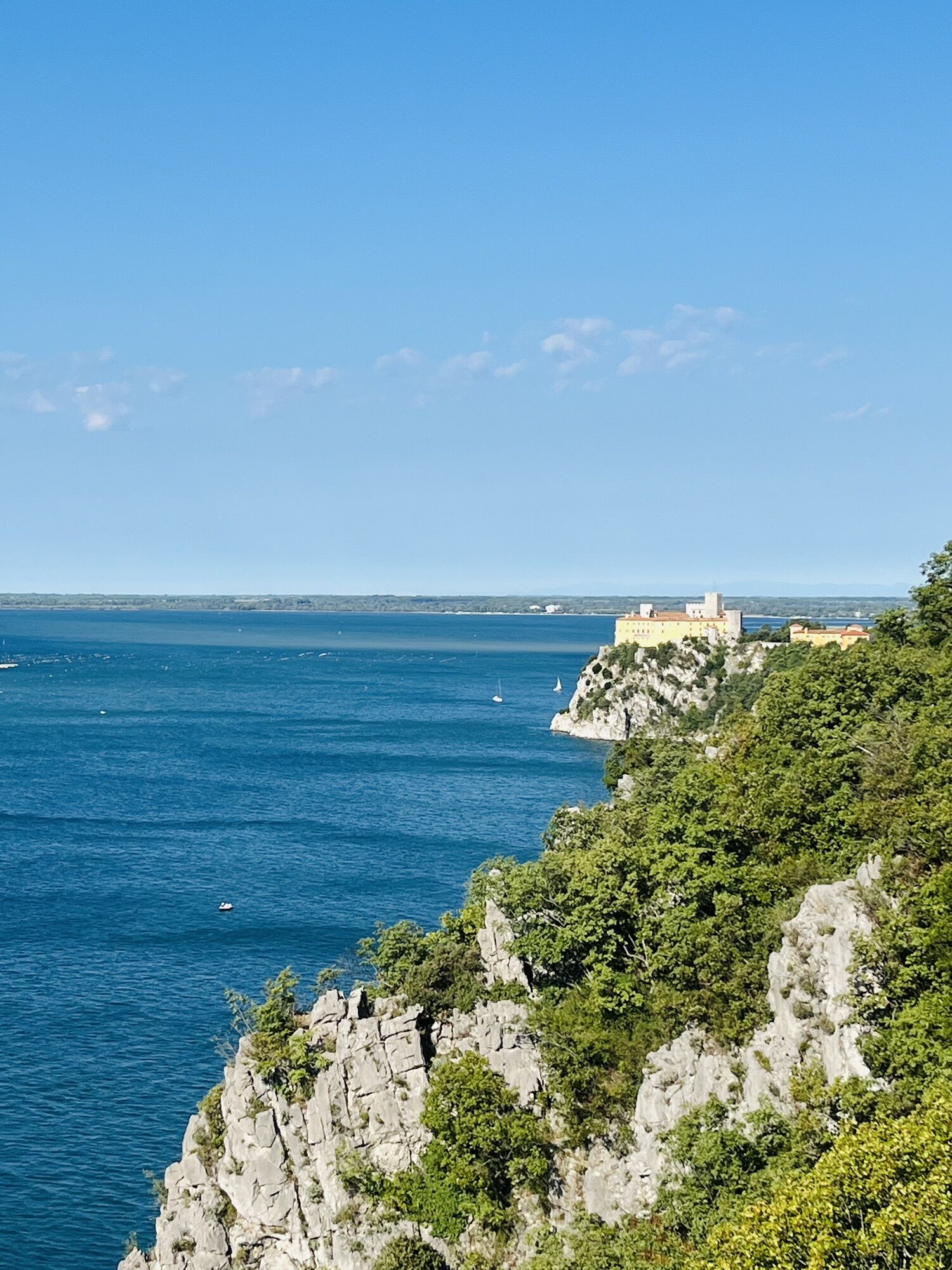
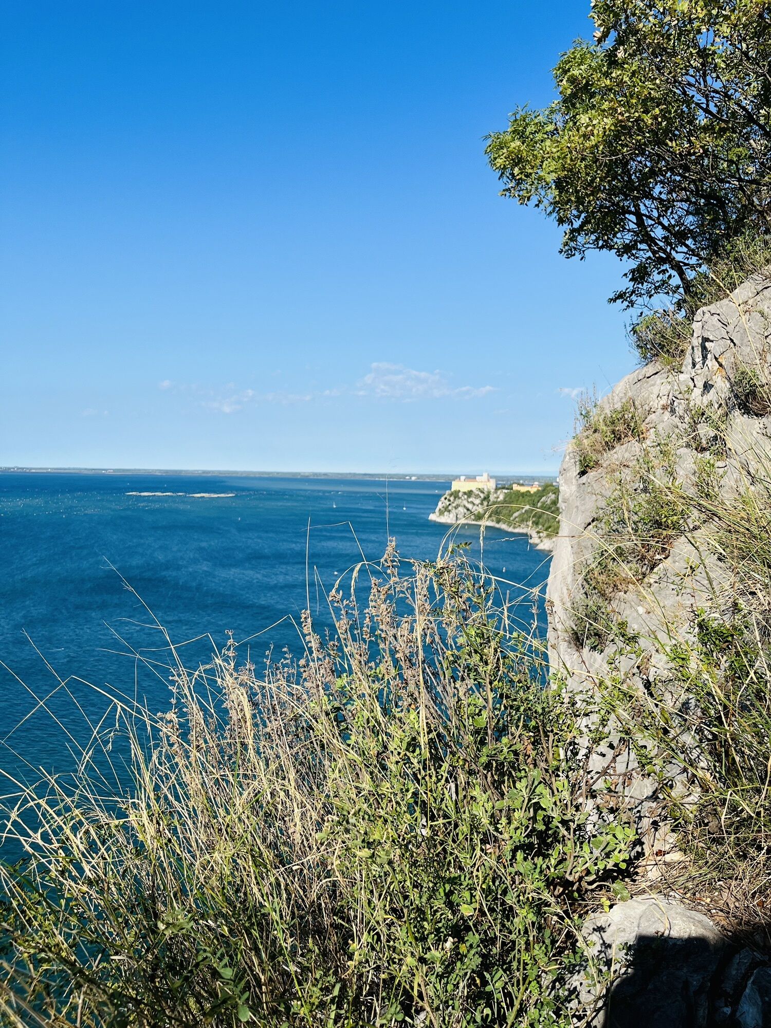
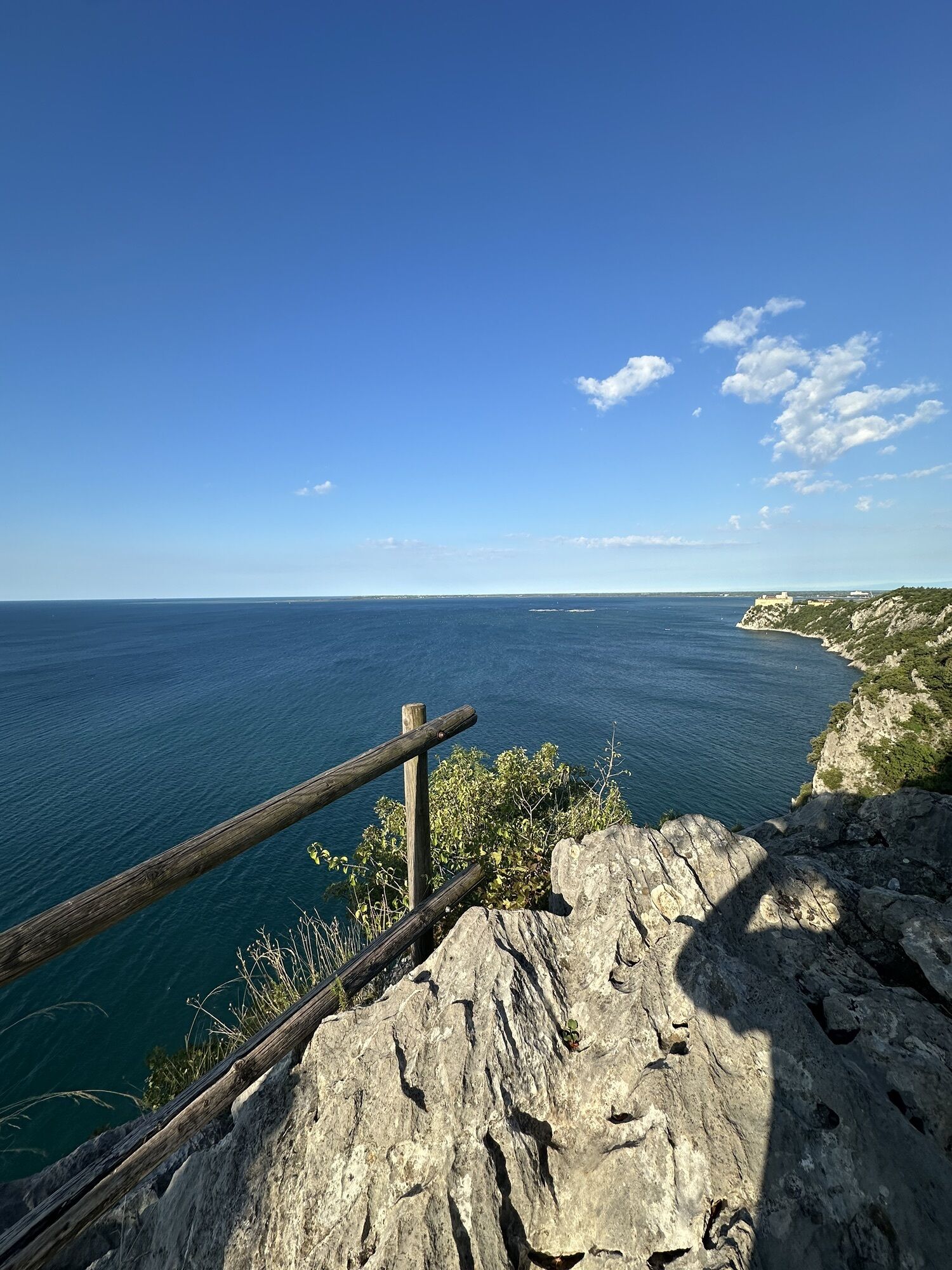


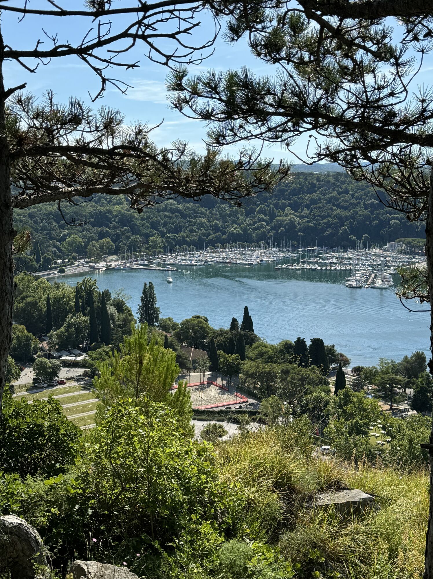
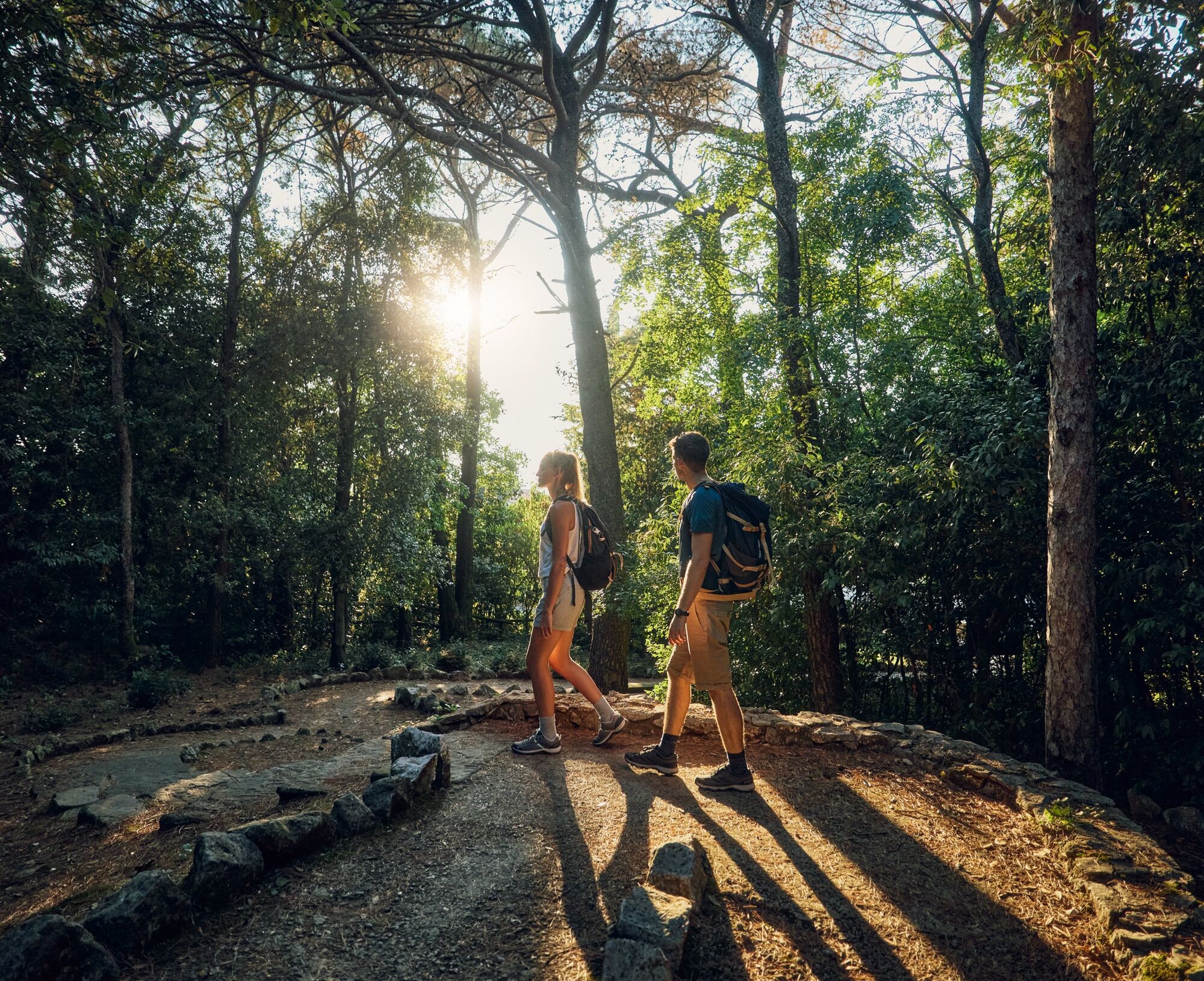
On the stage from Sistiana / Sesljan to Jamlje, the sea takes centre stage. With its endless horizon and energy, it inspires us in much the same way as high mountains or wide deserts. The Adriatic is warm...
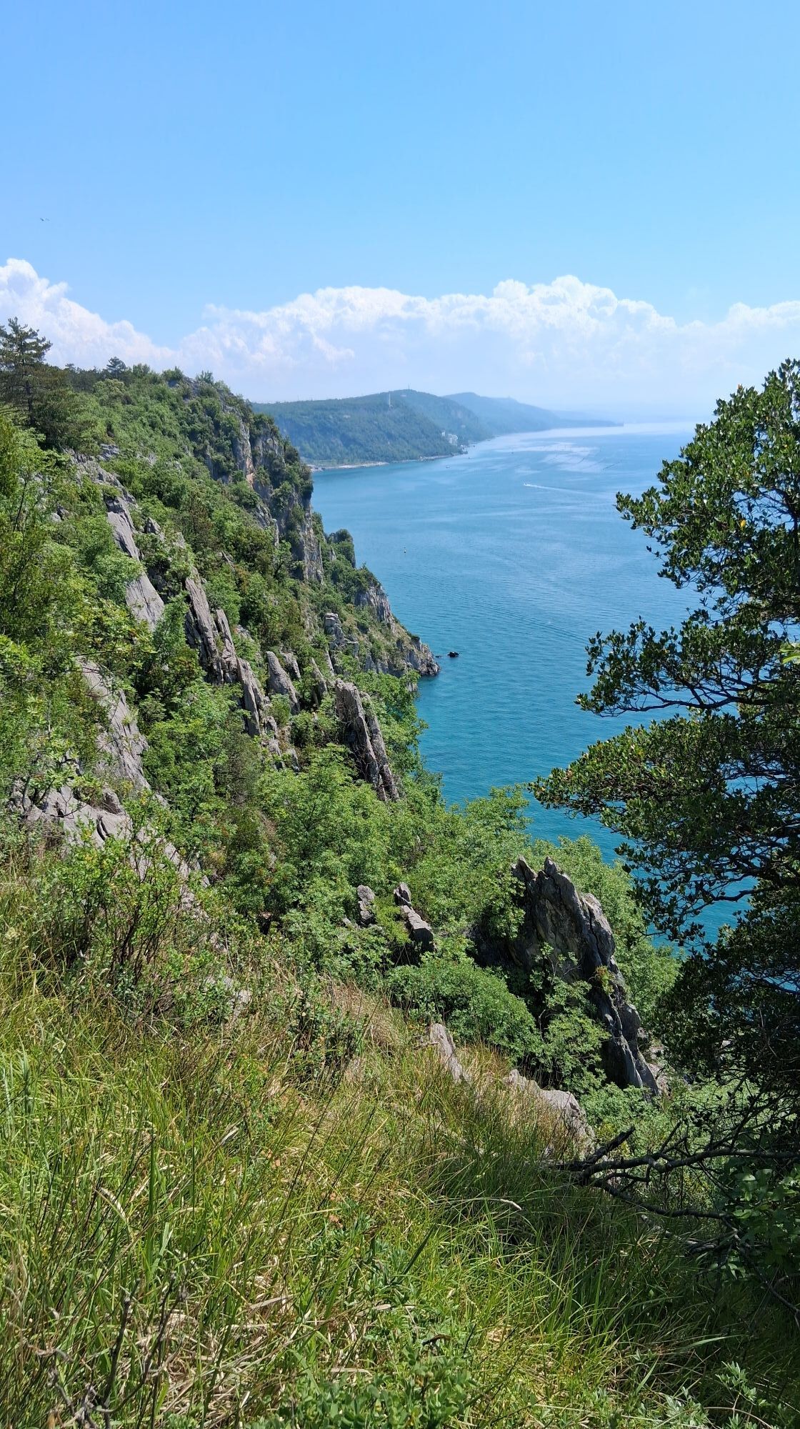
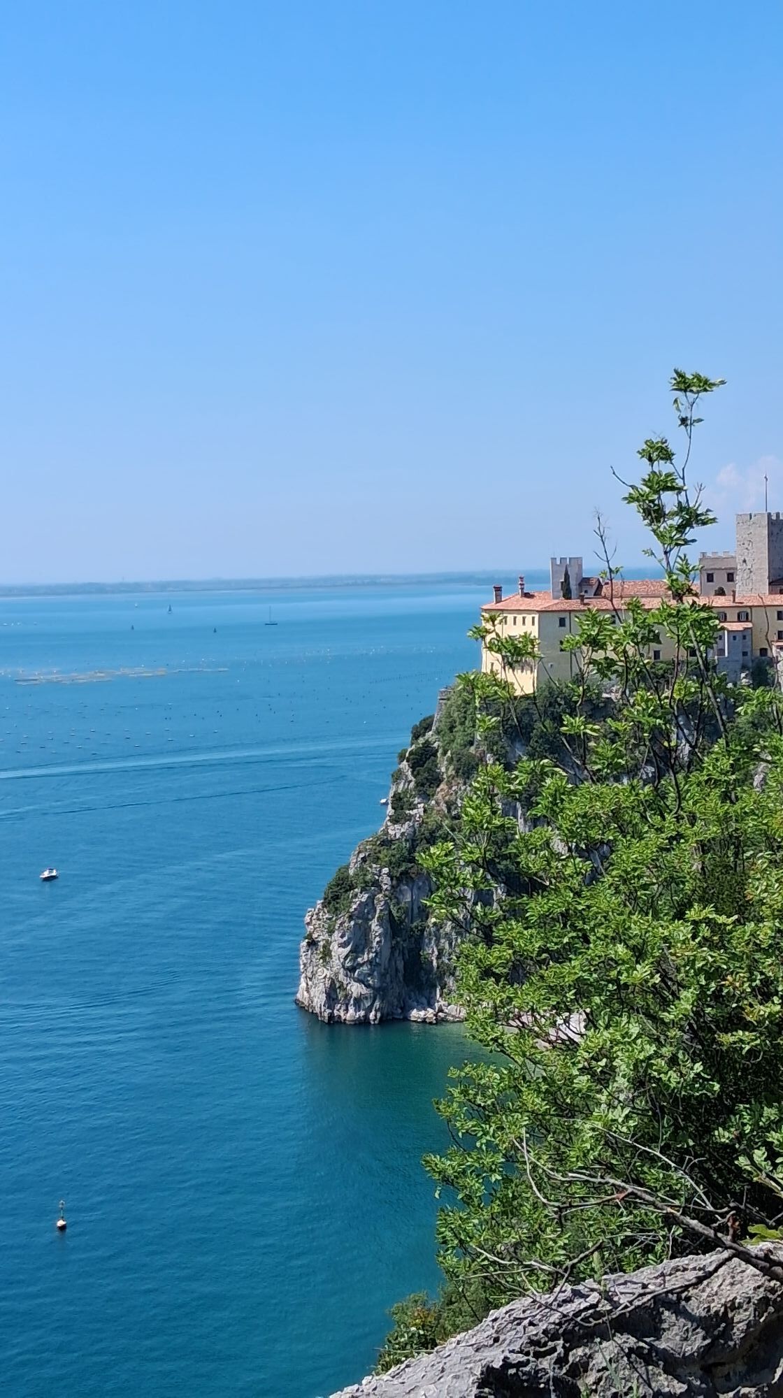
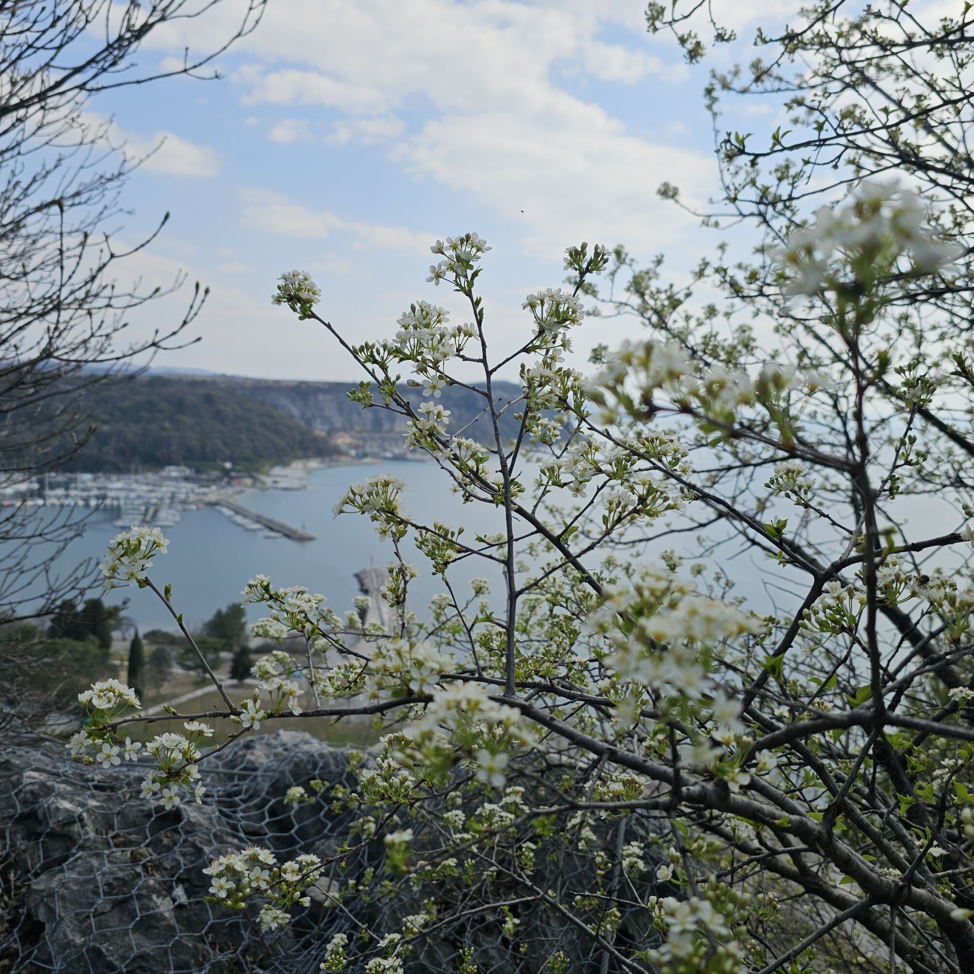
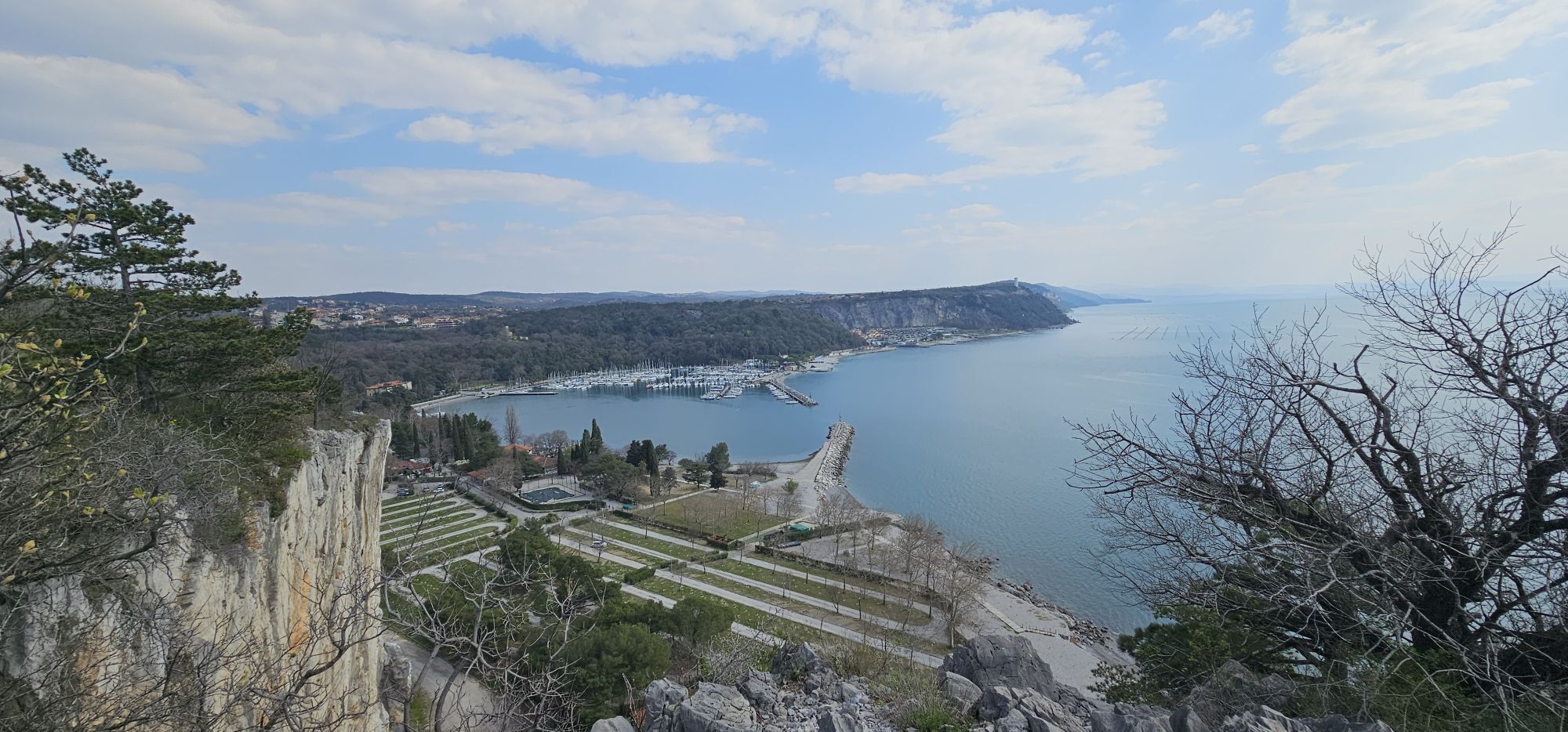
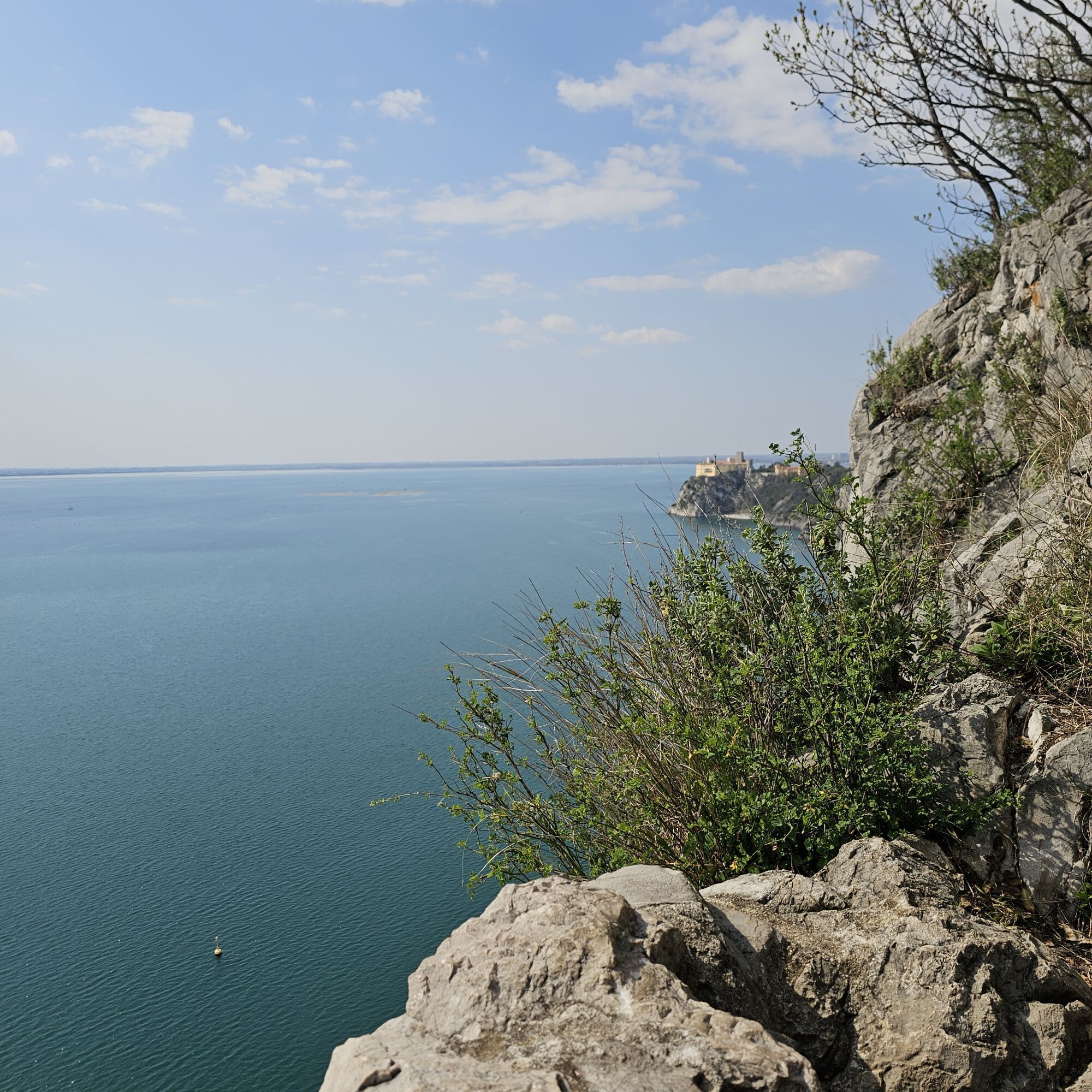
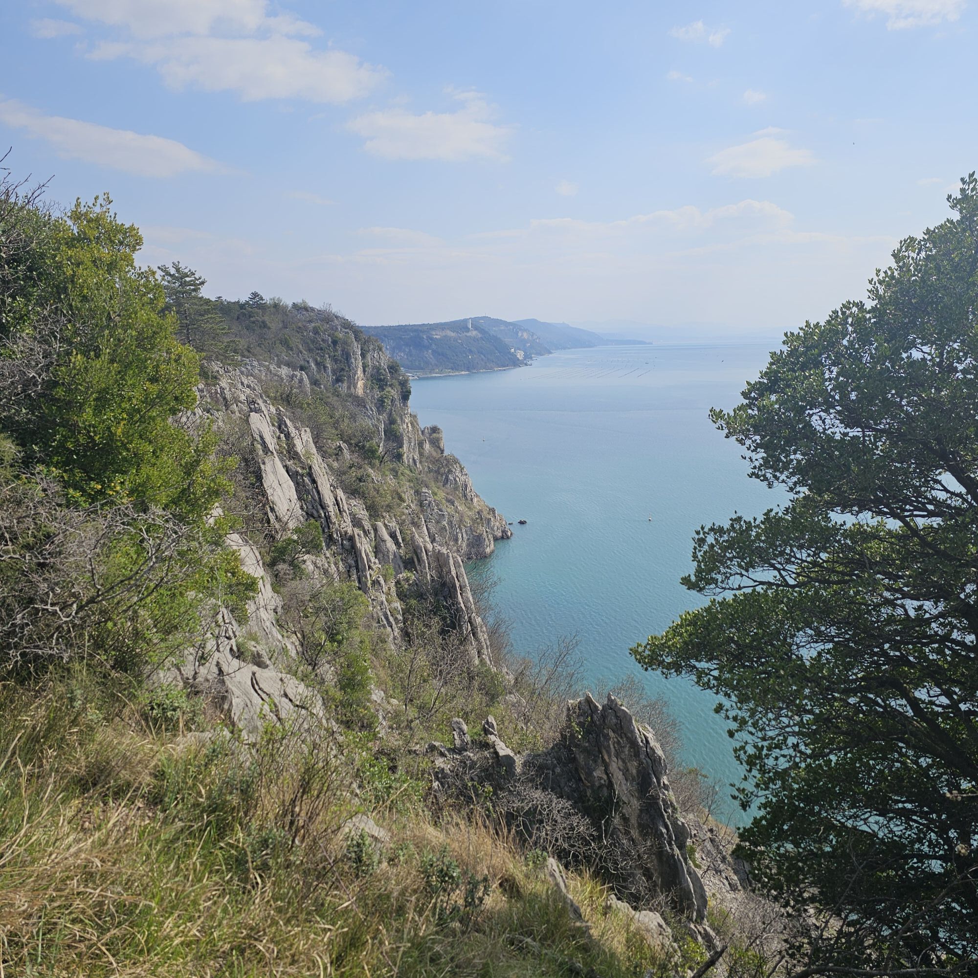
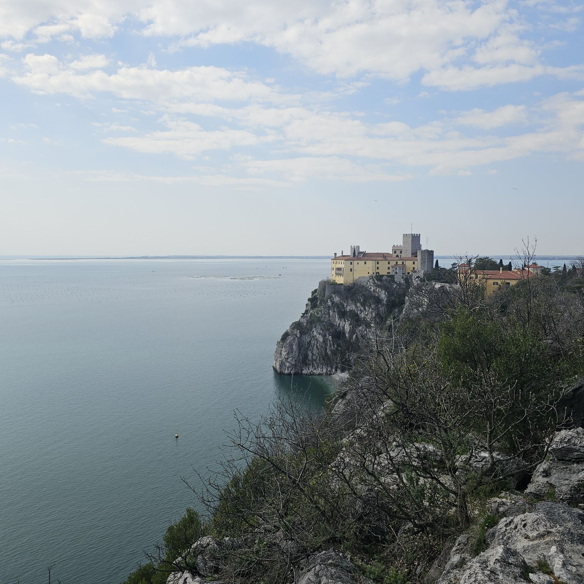
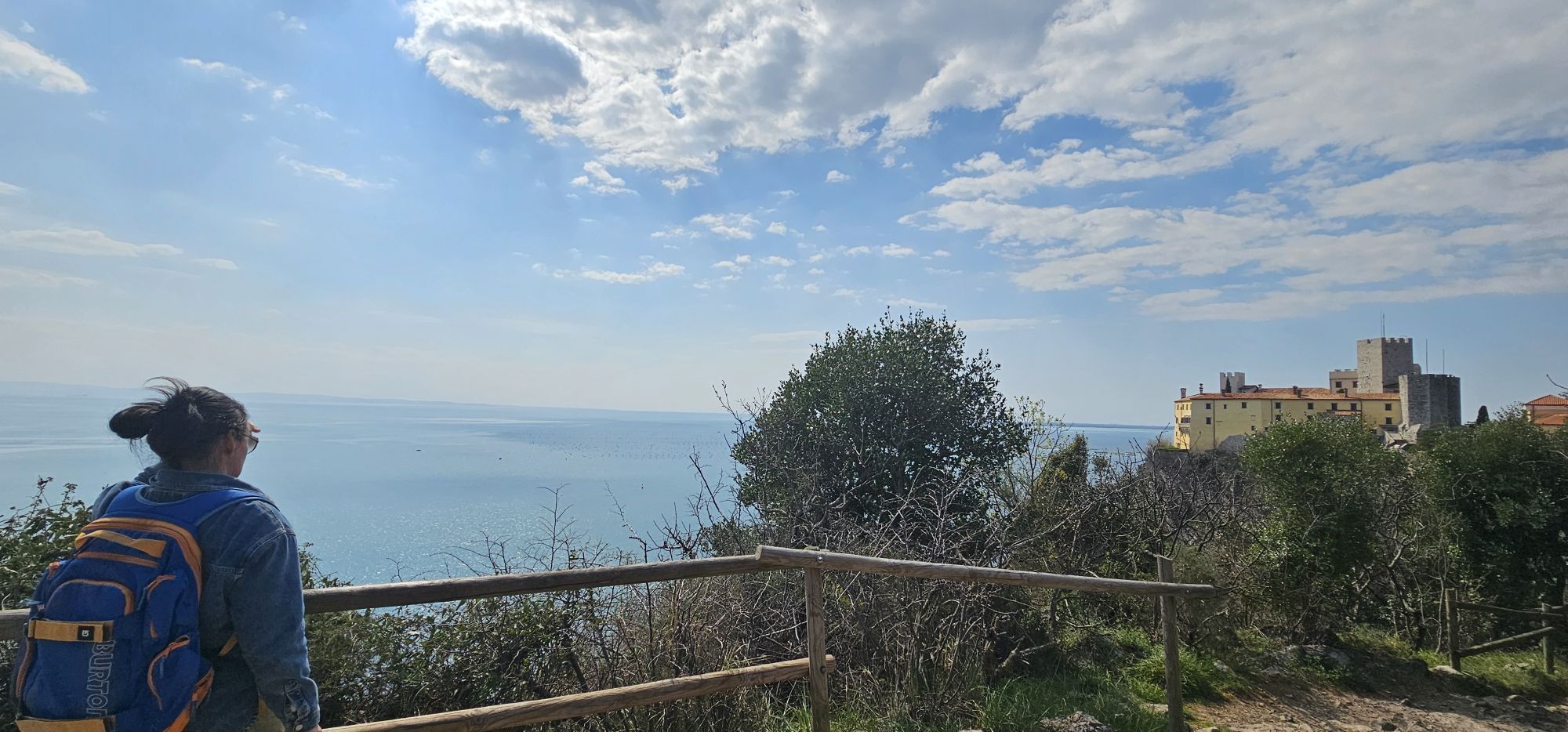
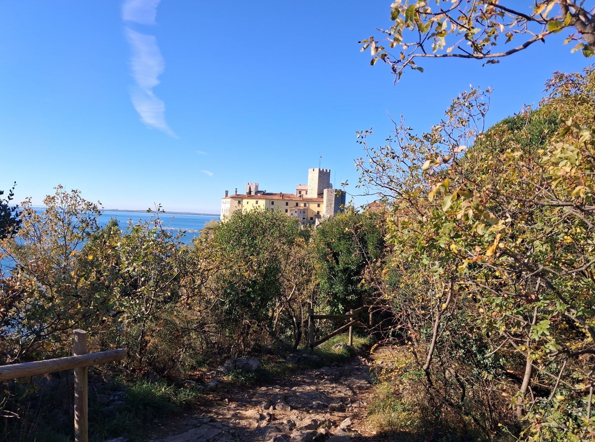
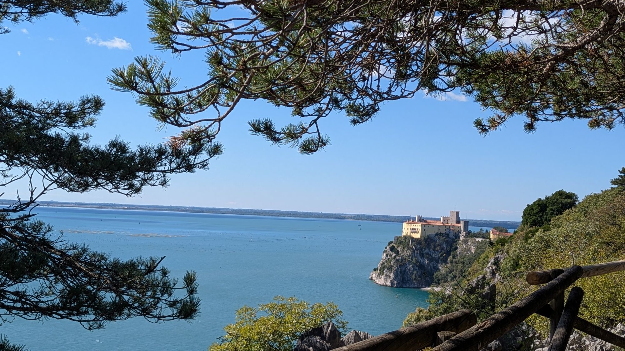
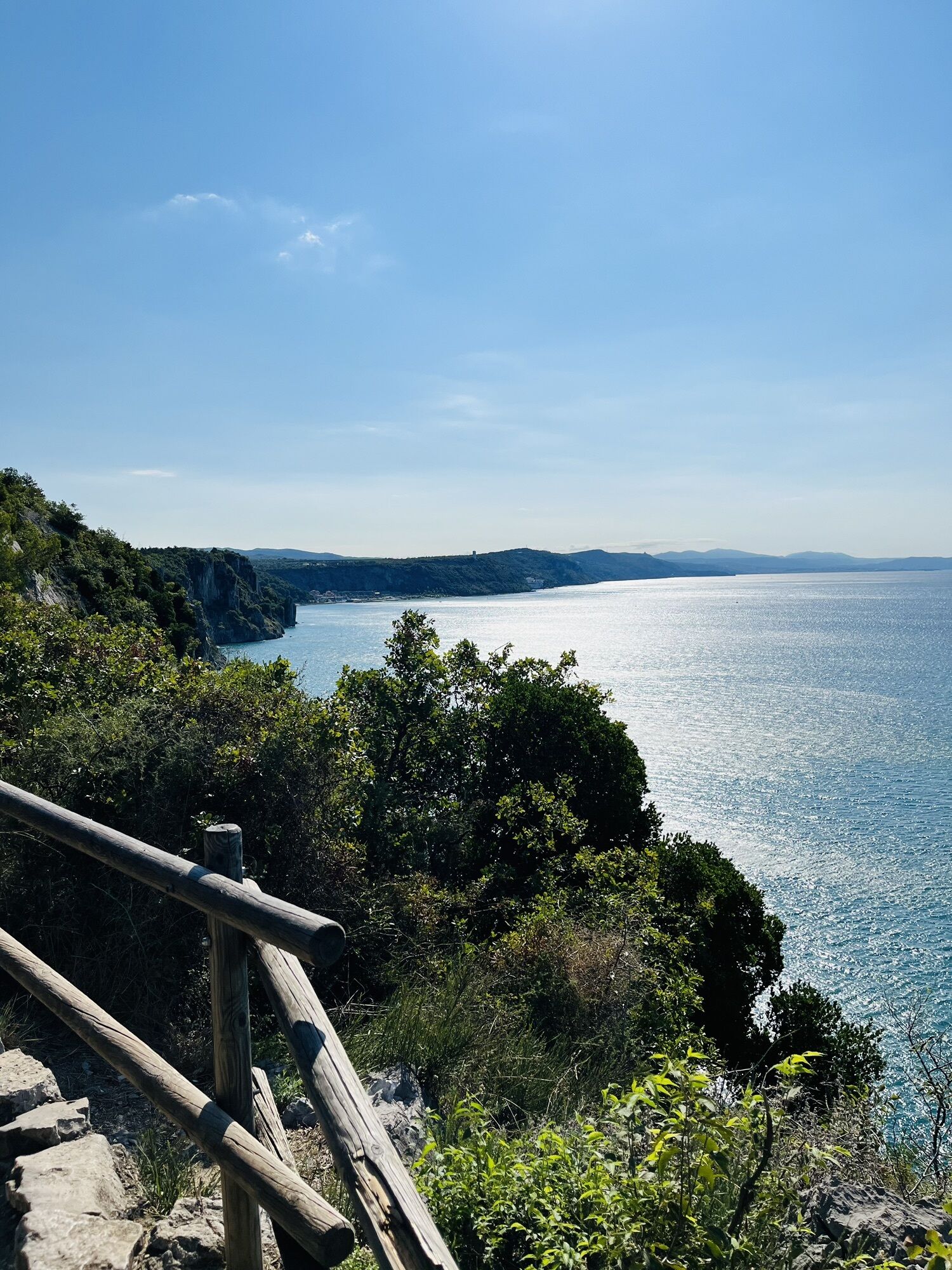
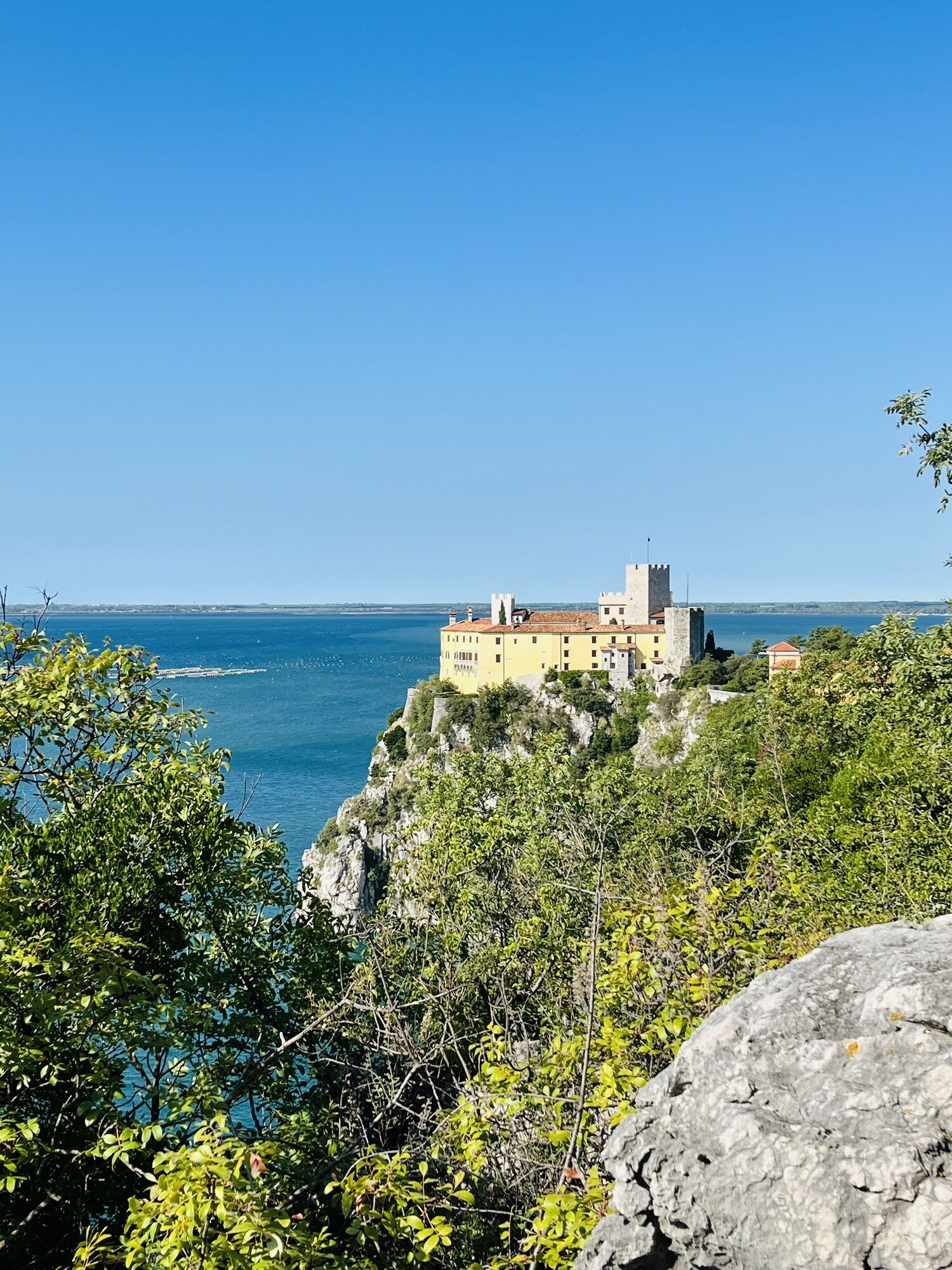
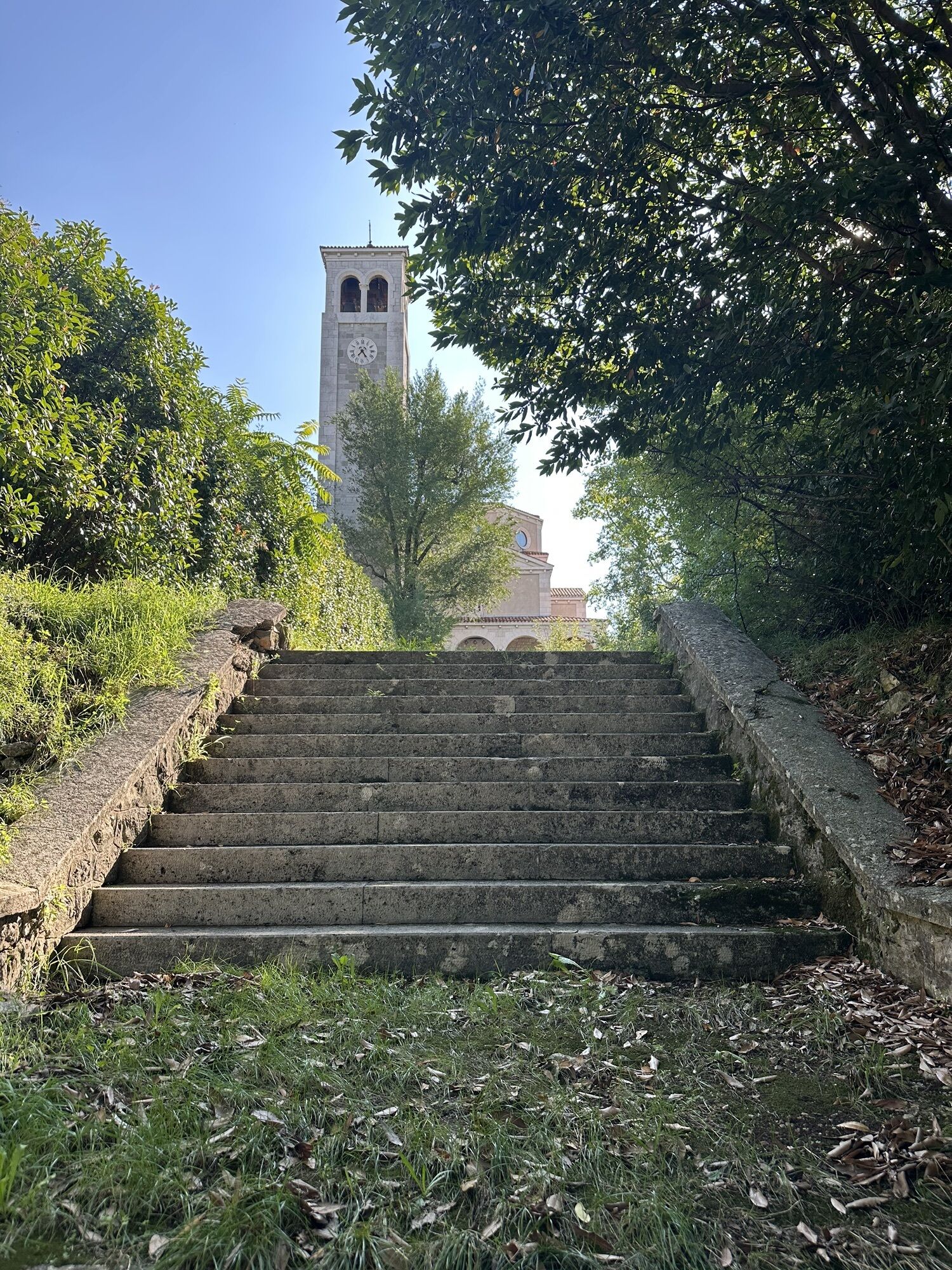
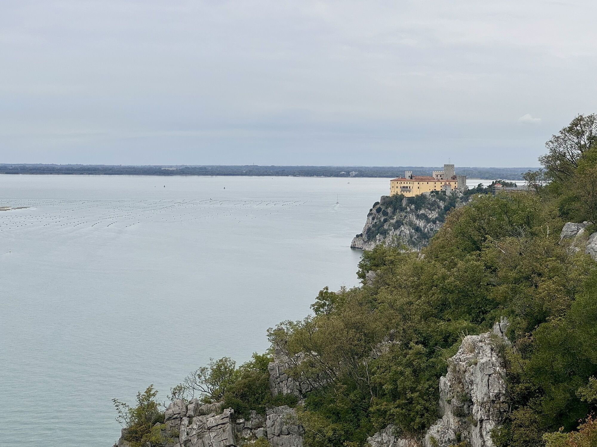
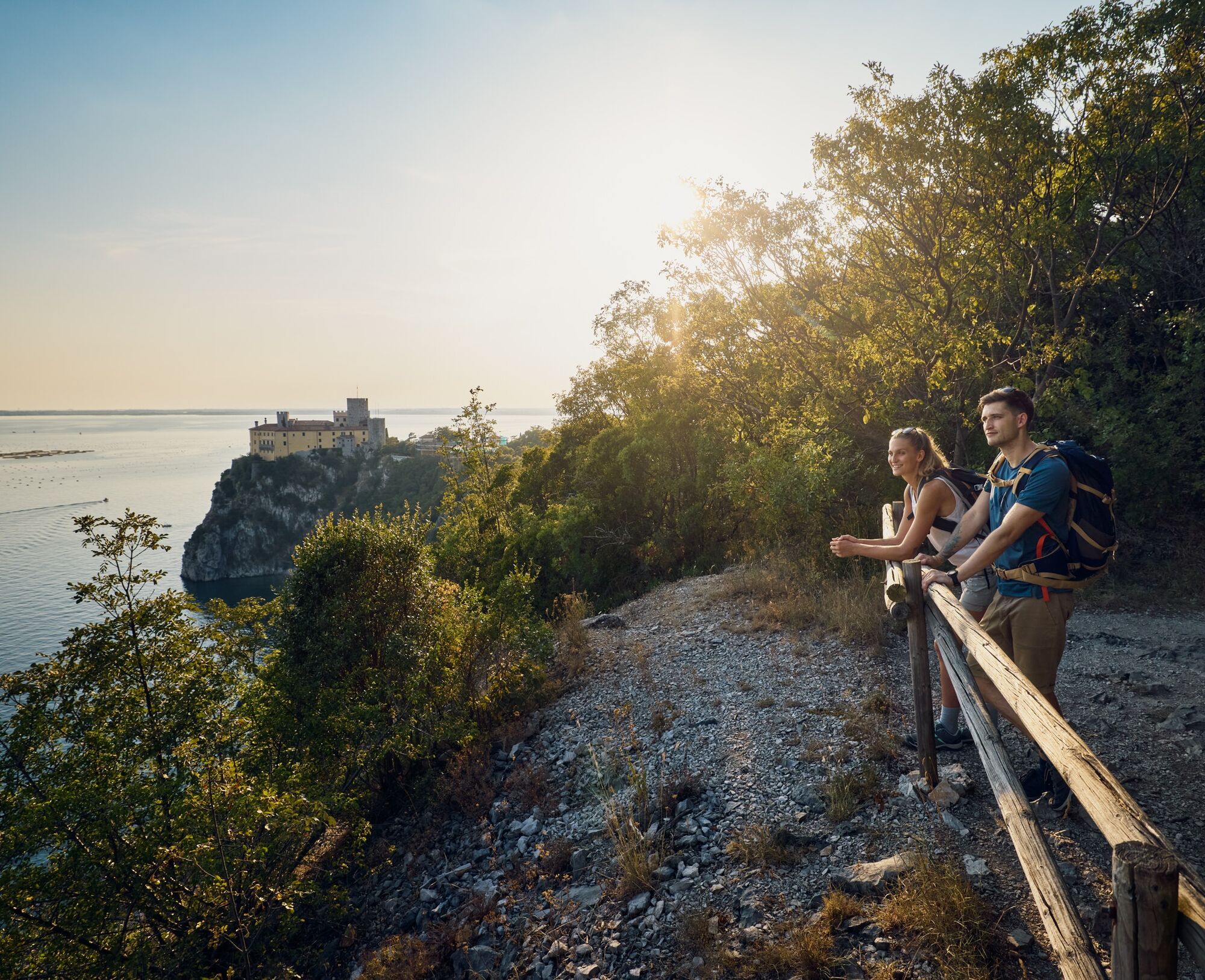
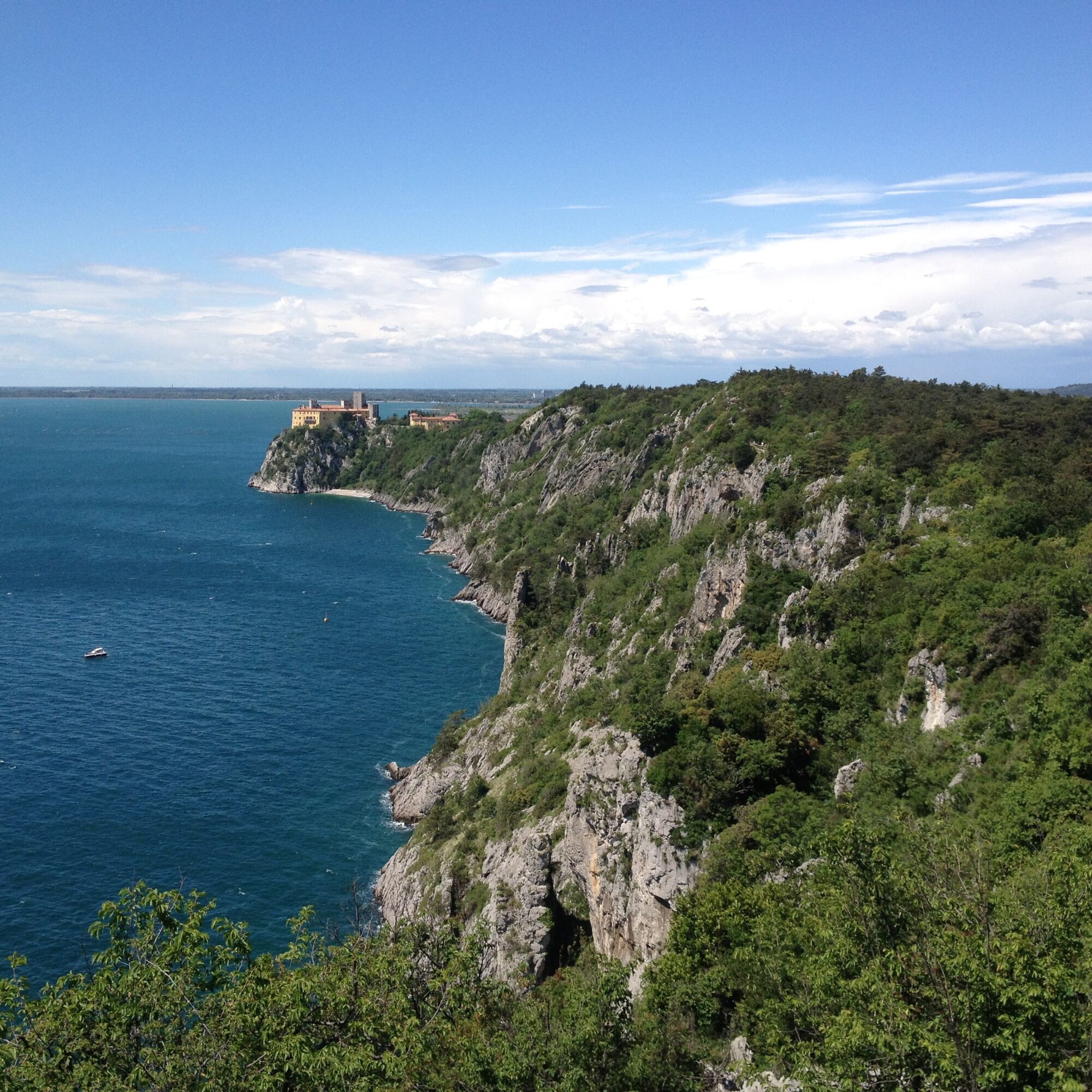
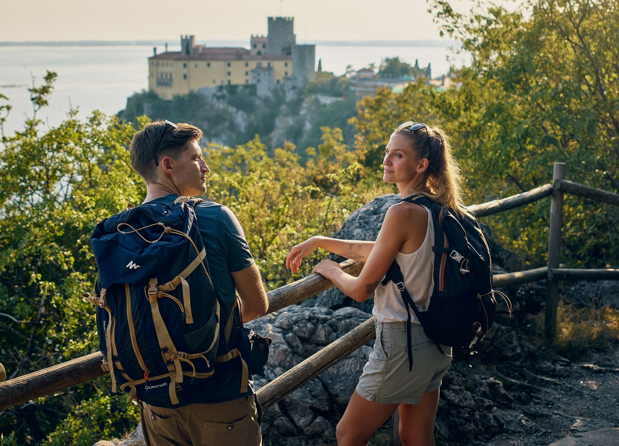
The start of the stage is especially impressive. Follow the Rilke Trail along the edge of steep cliffs rising above the blue-green sea. The trail links Sistiana / Sesljan and Duino / Devin and takes its name from Rainer Maria Rilke, one of the most important lyric poets of Central Europe. In 1911 and 1912, he stayed as a guest of the princess at Duino Castle, where the trail ends.
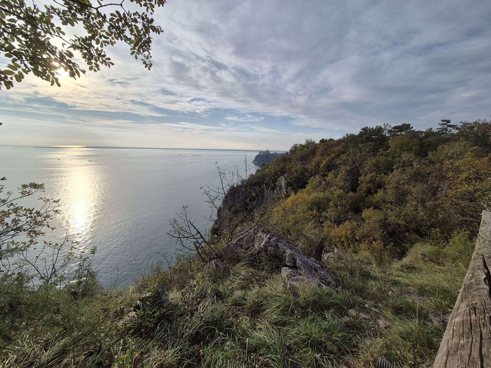
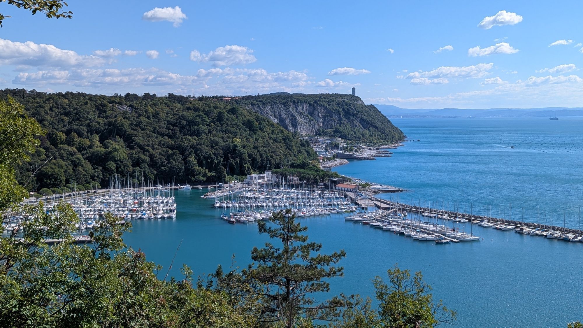
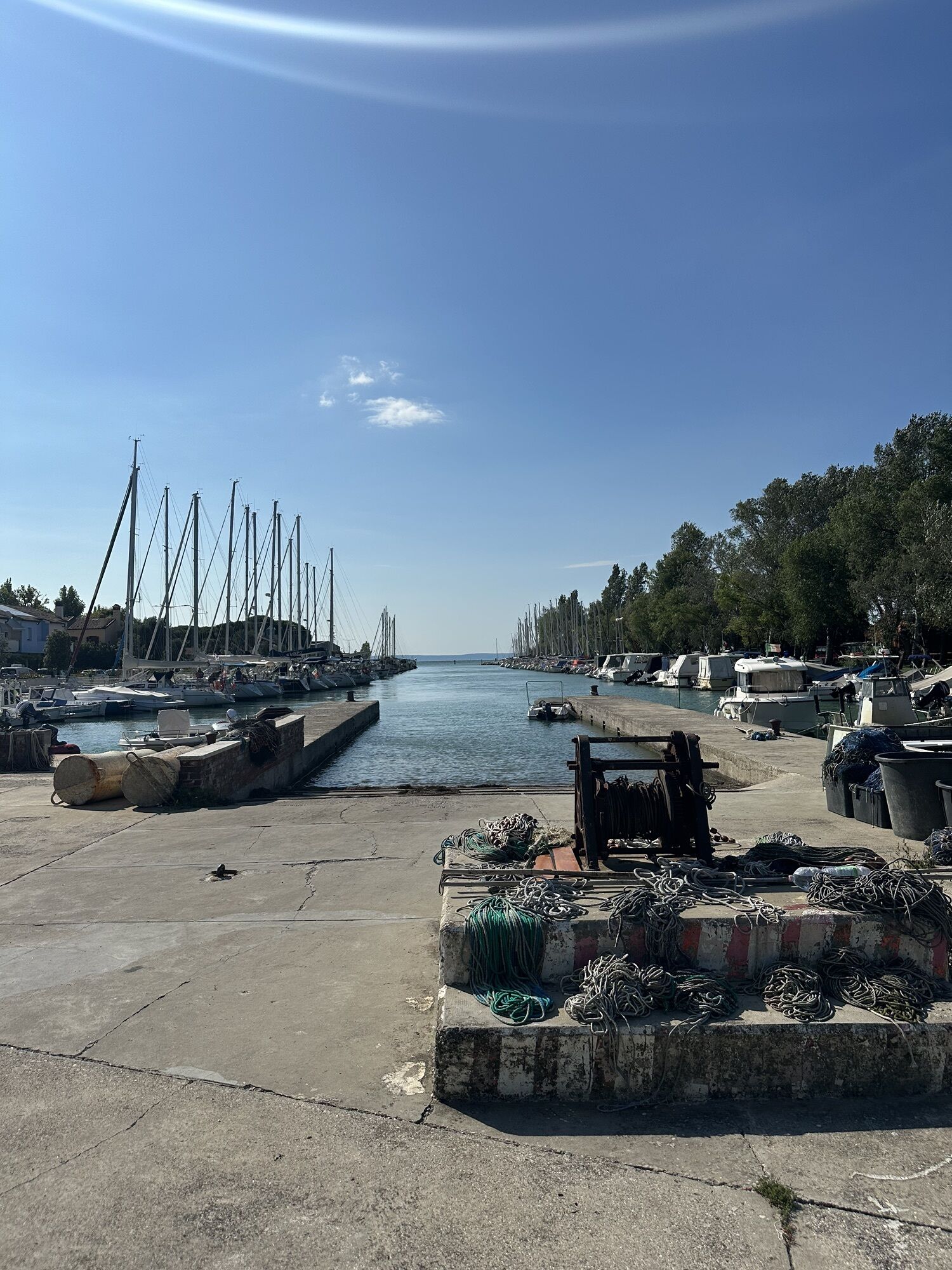
After the castle, continue through Duino / Devin to the marina at Villaggio del Pescatore / Ribiško naselje, then on to the powerful springs of the Timava River before returning to the interior of the Karst.
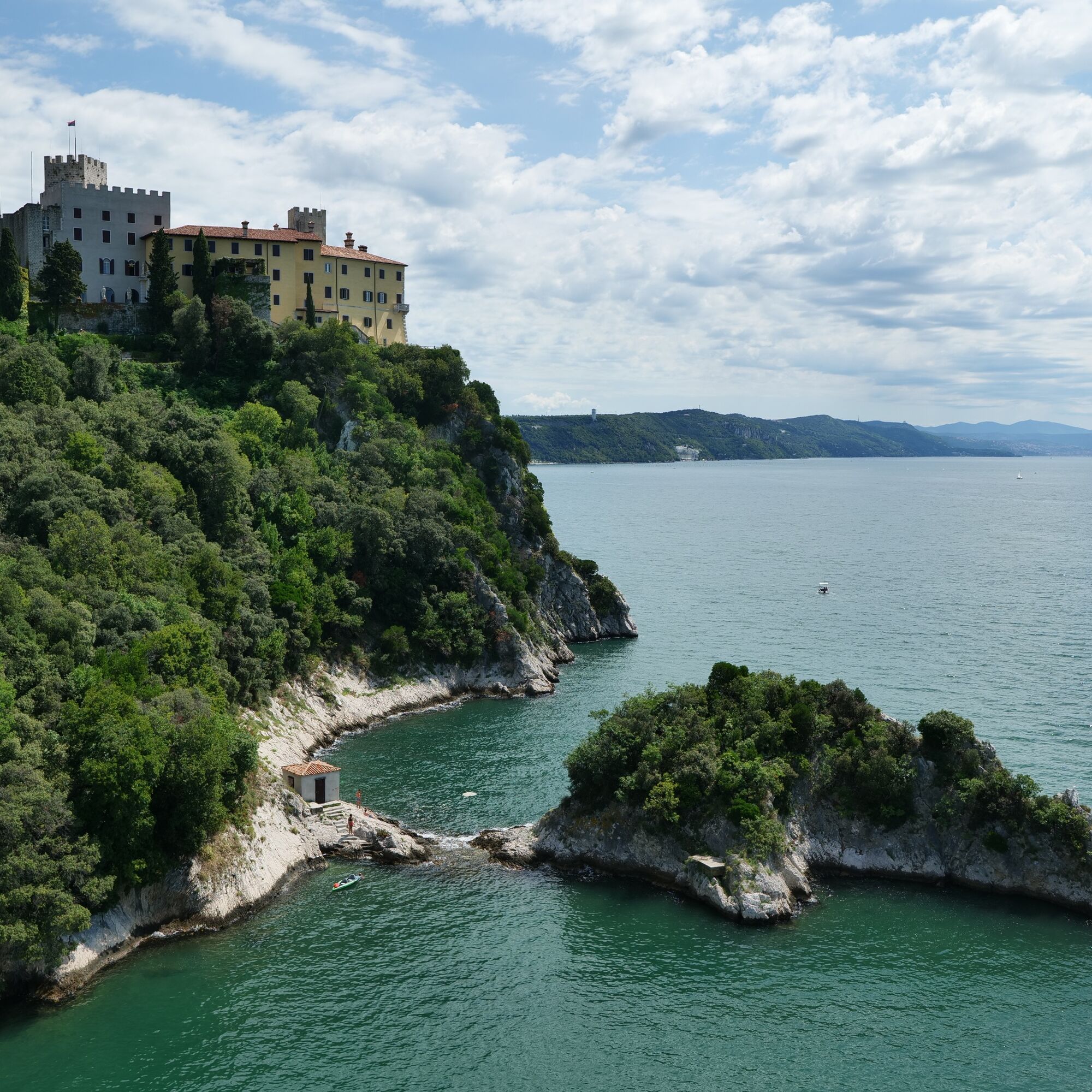
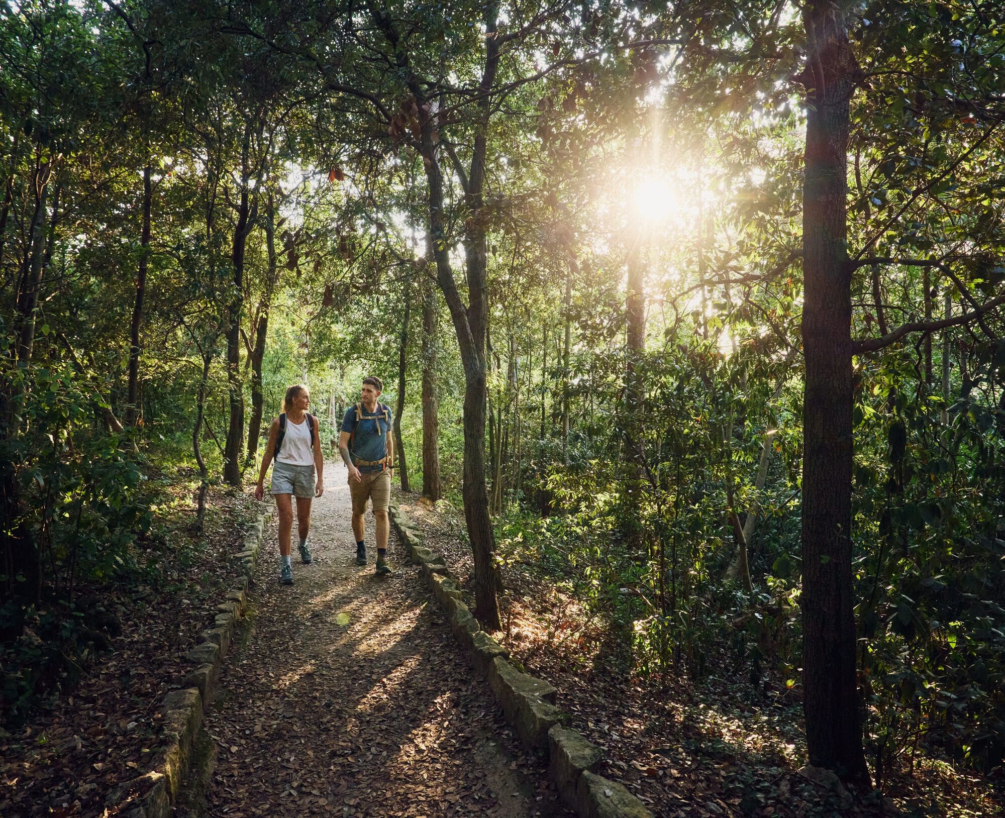
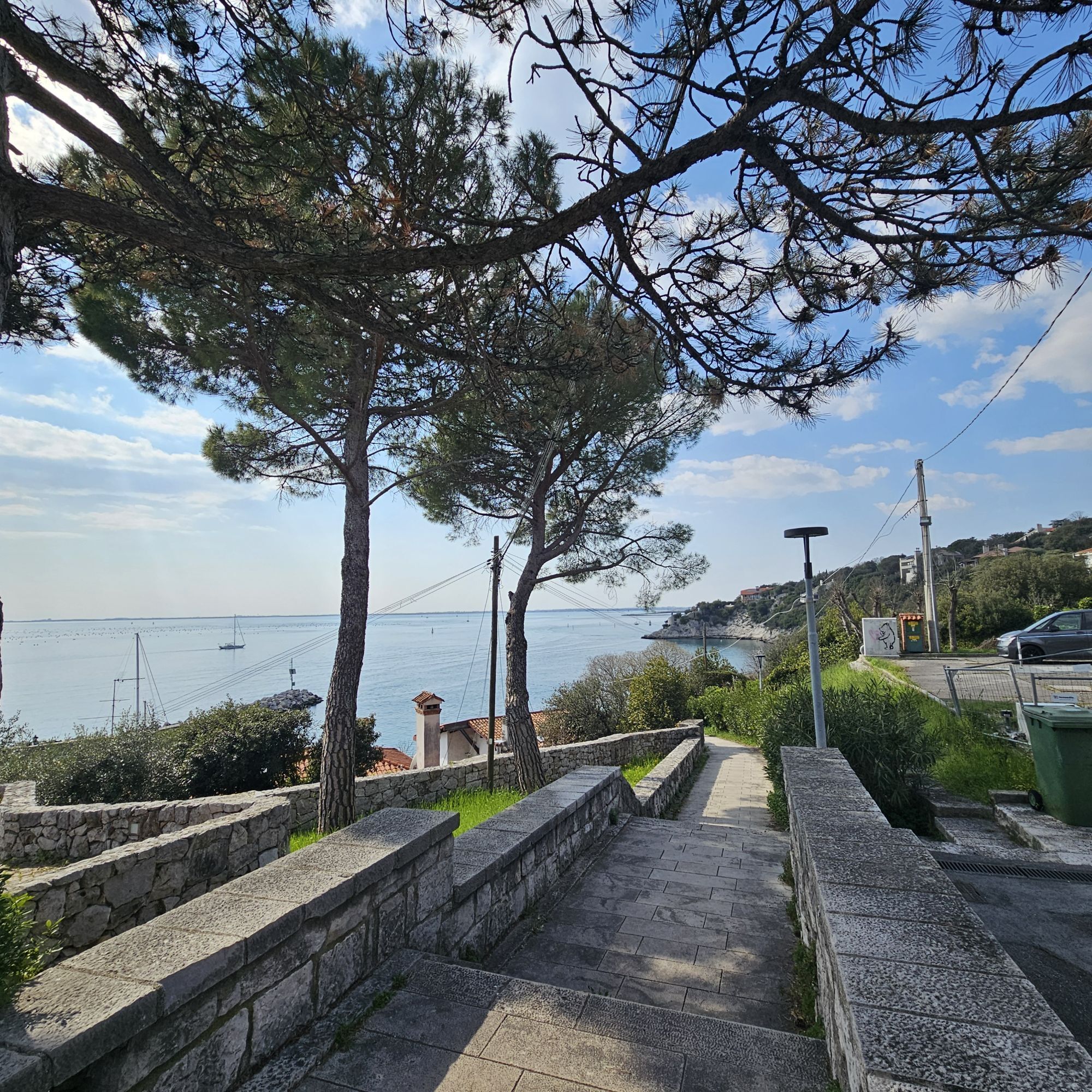
At the castle, continue along the street running parallel to the coast, through the town and then through the forest to Villaggio del Pescatore / Ribiško naselje on the other side.
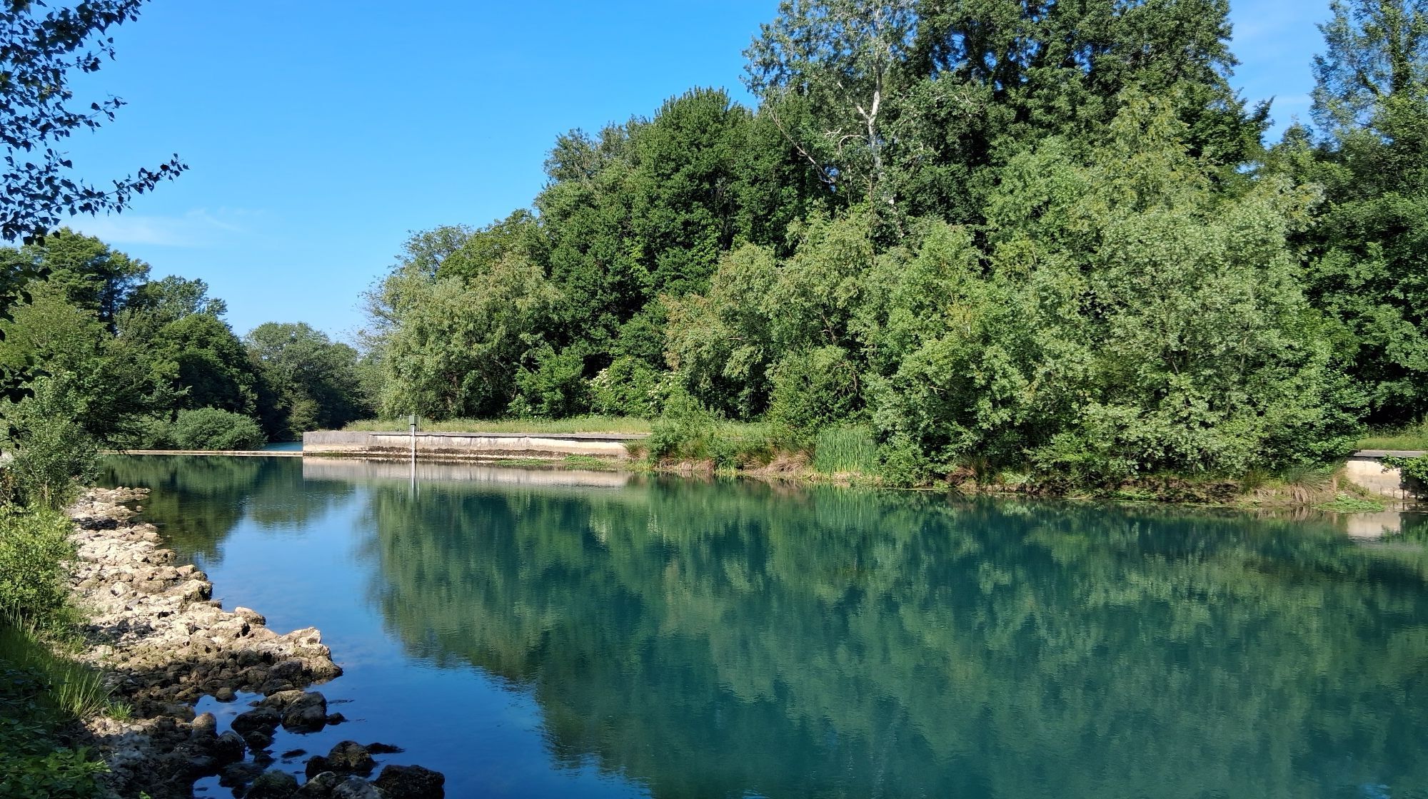
Continue by the sea, through the marina and on to the springs of the Timava River.
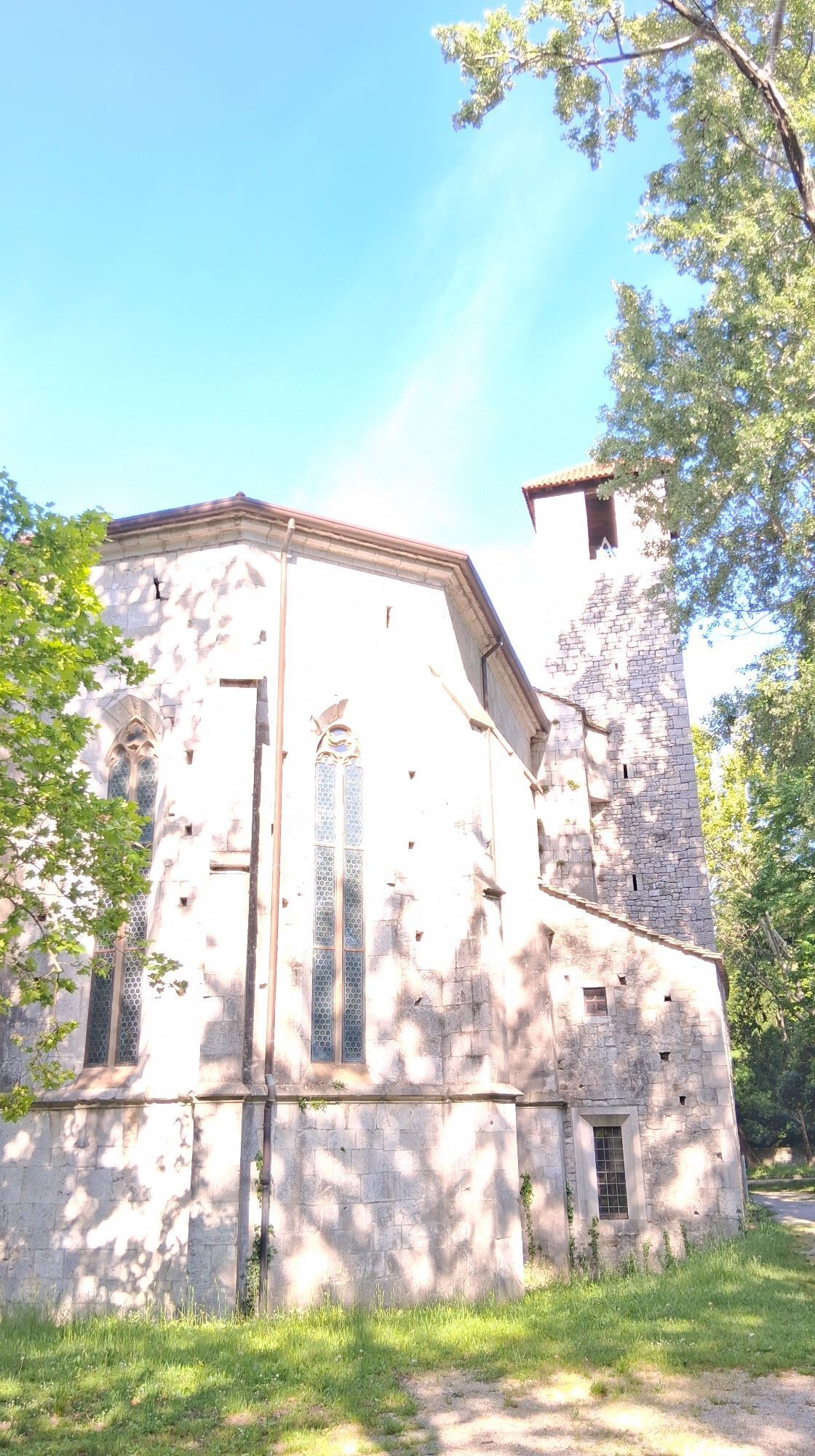
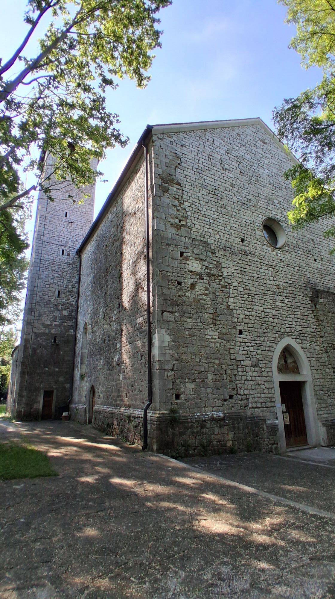
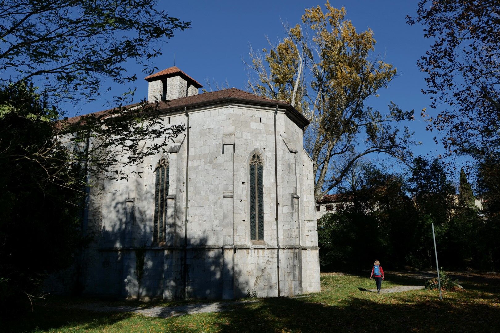
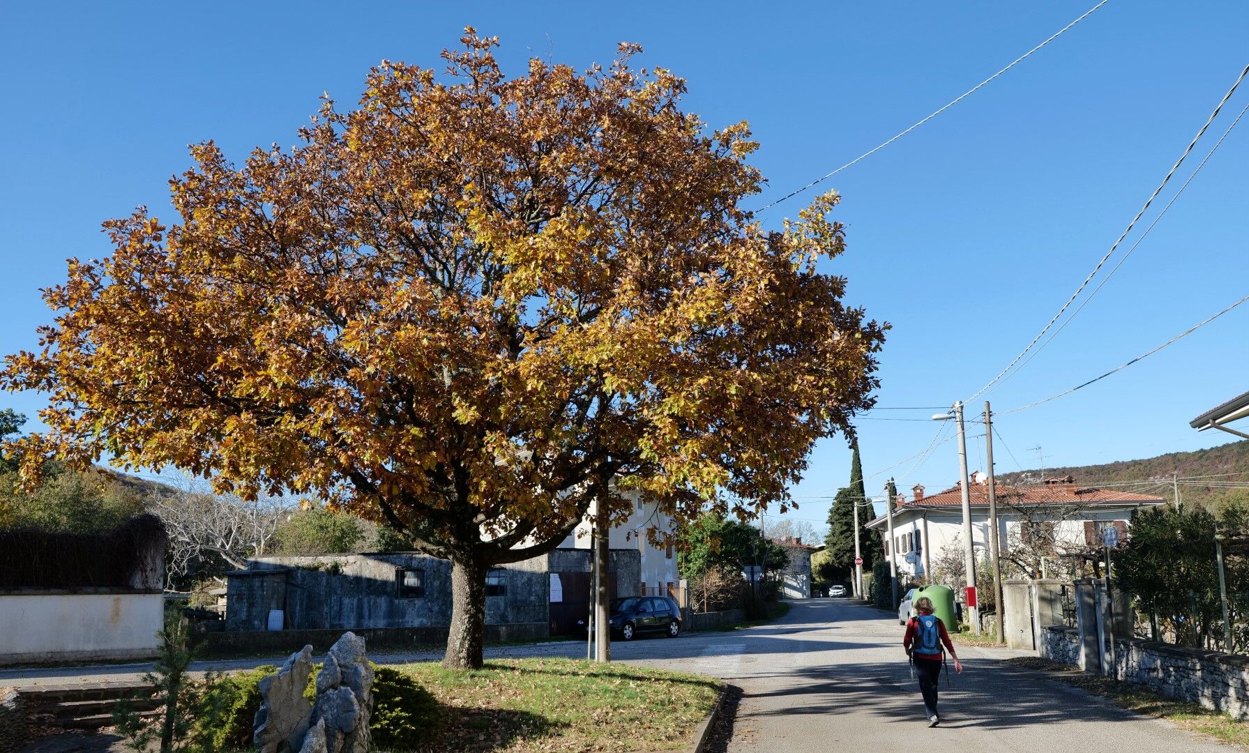
At the ancient Church of St John, turn right onto the upper road through Štivan / San Giovanni di Duino. Follow it across the motorway and on to the edge of the settlement.
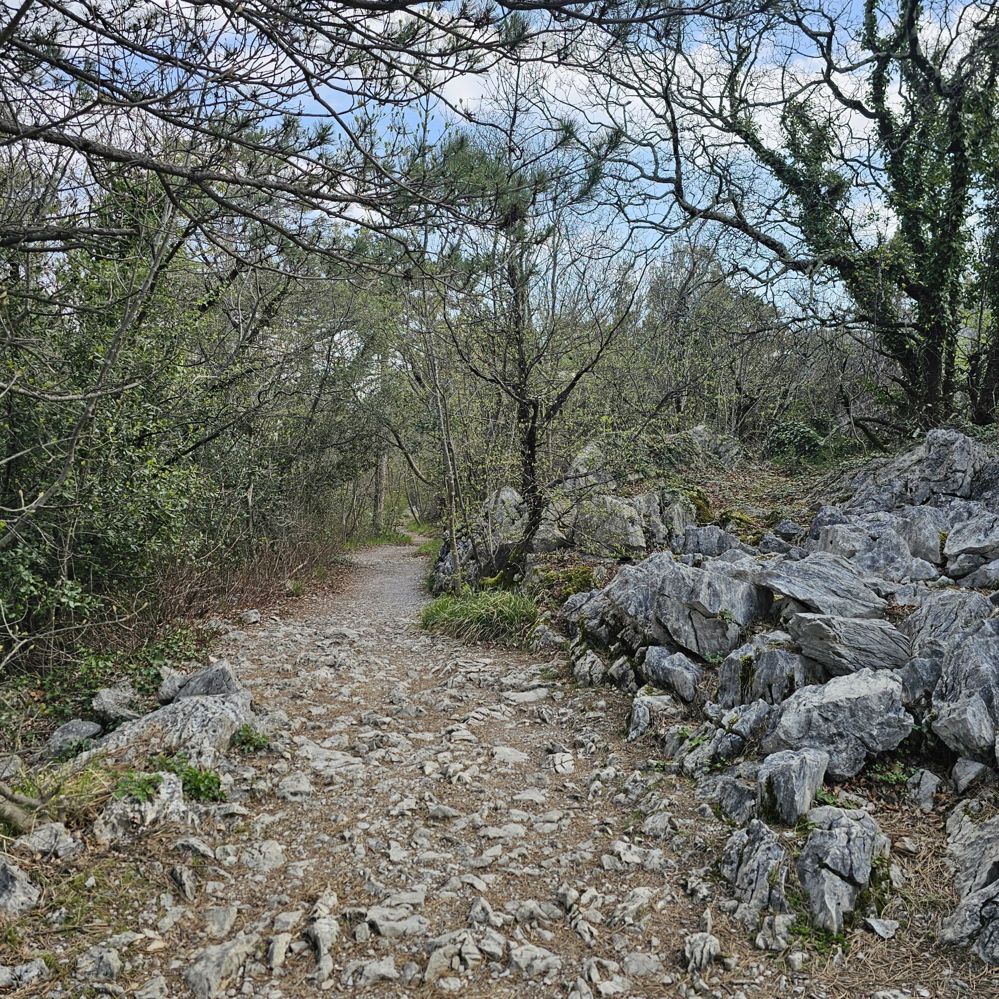
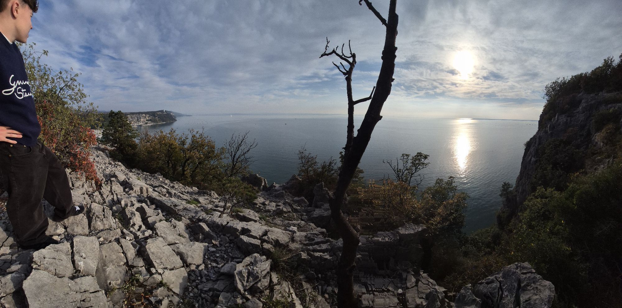
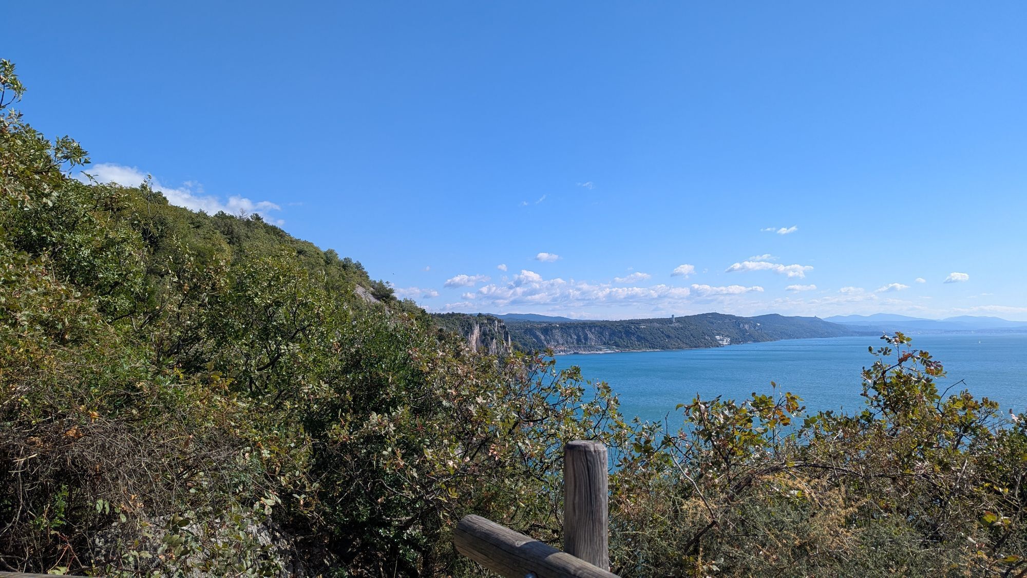
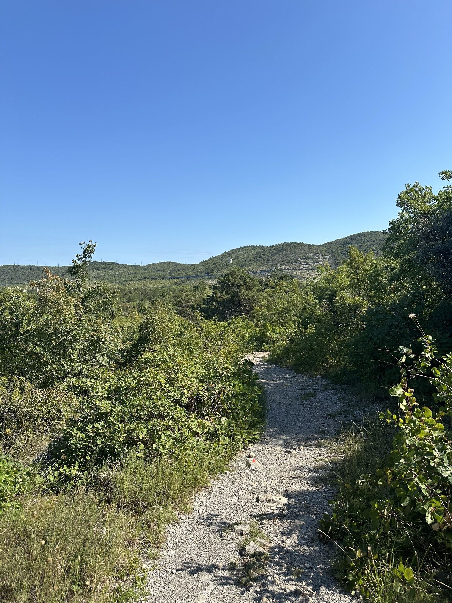
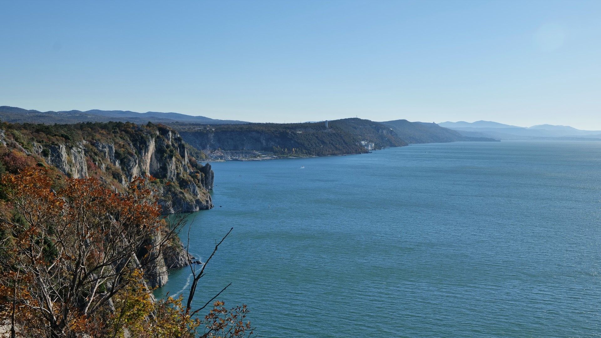
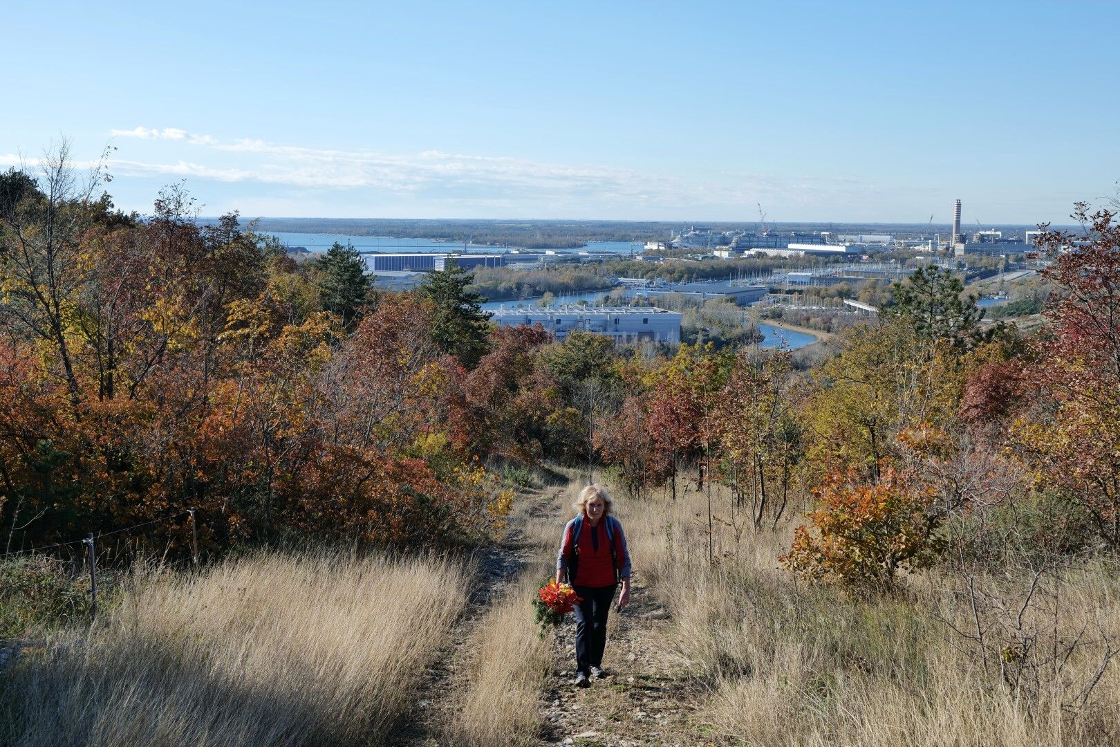
At the last houses, a path branches off uphill to the right. Follow it across the railway and then uphill along the slopes, where views open back towards Monfalcone / TržiÄ and the coast.
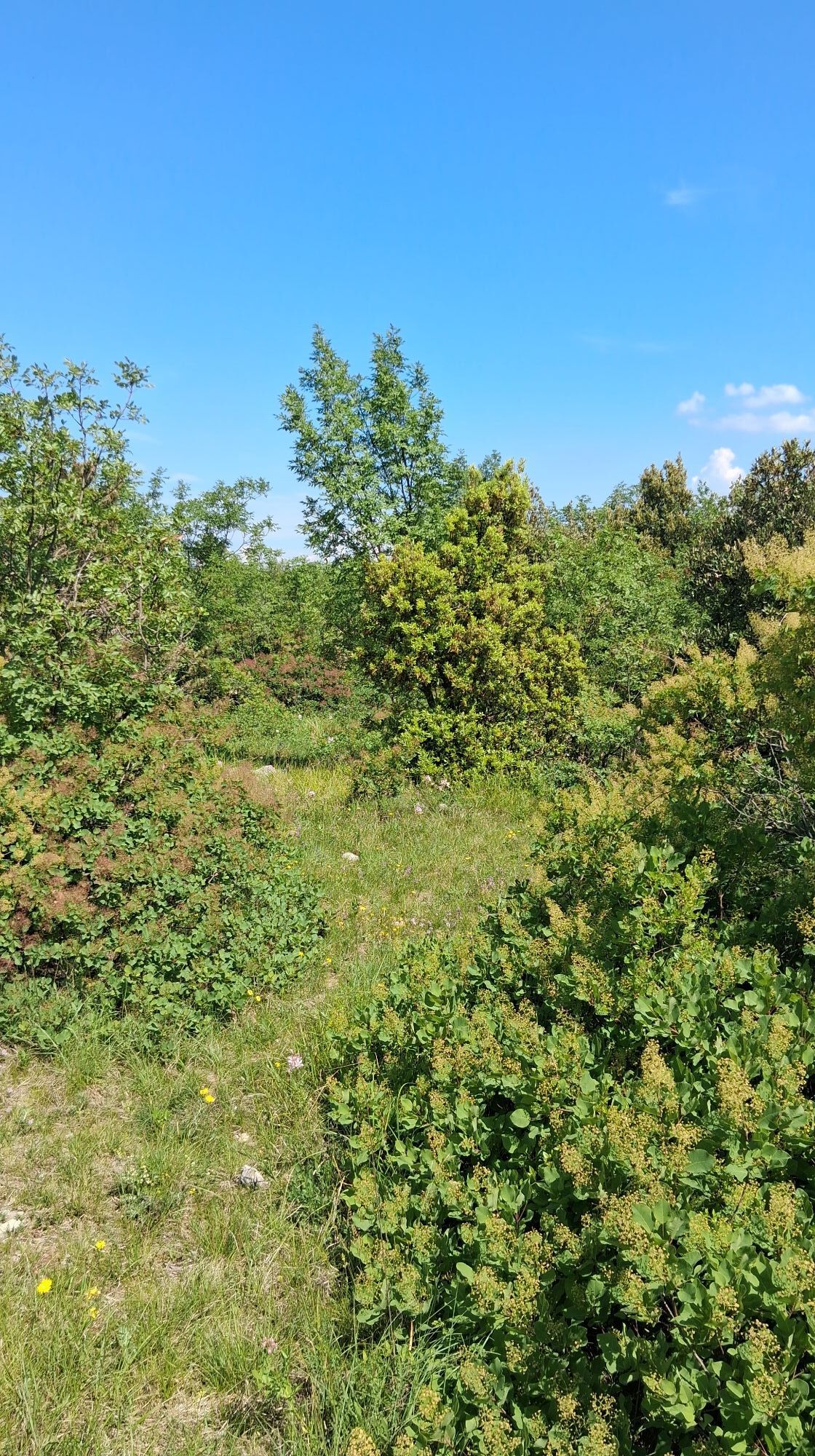
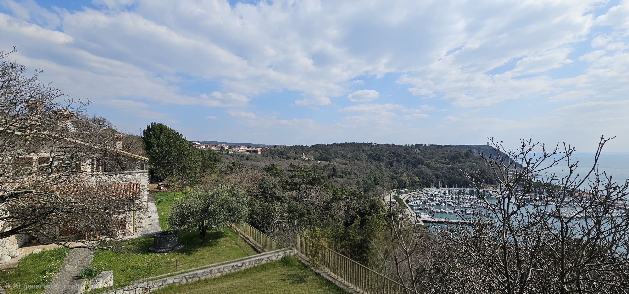
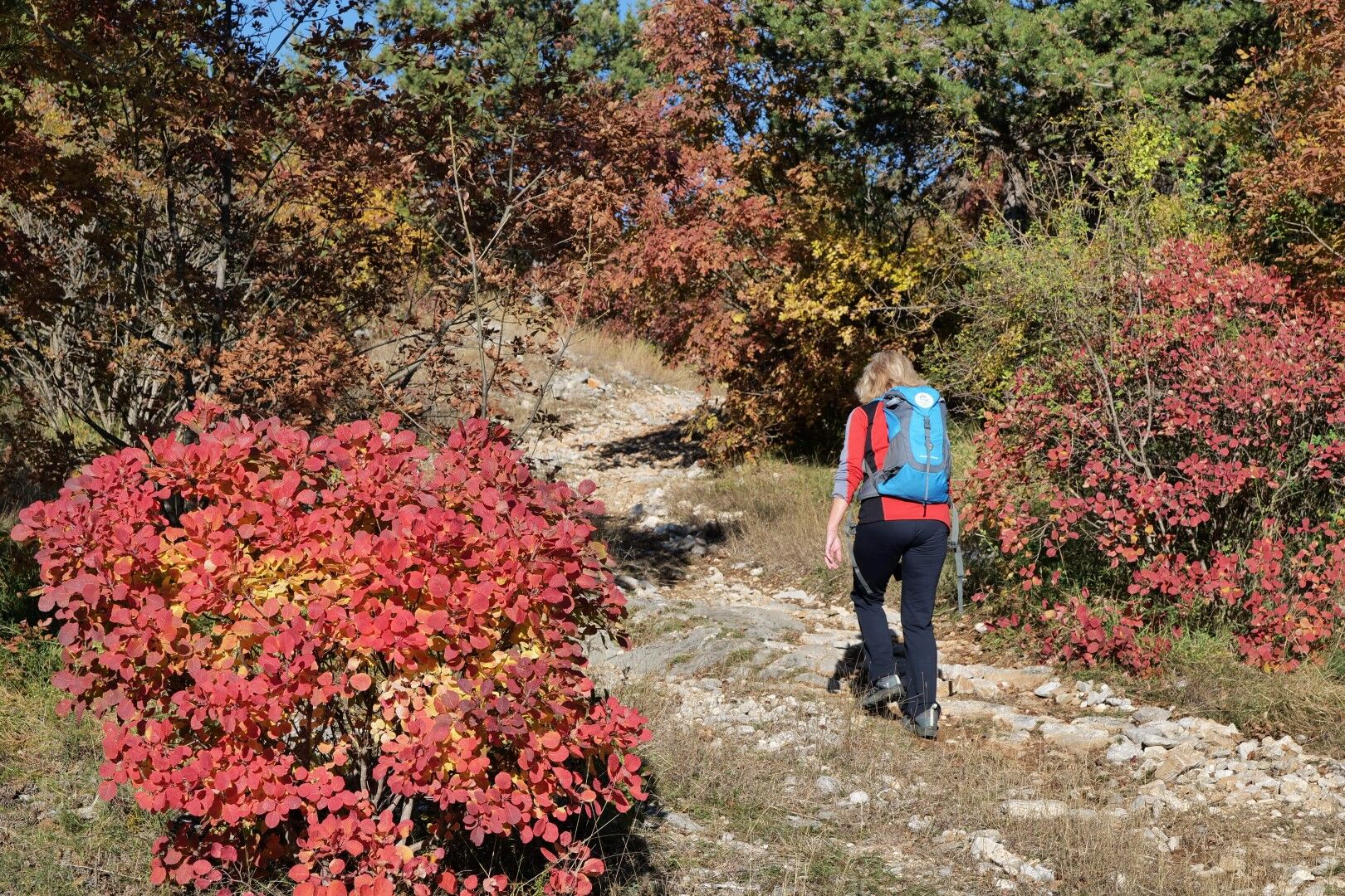
Above the power line, at the top of the steeper climb, turn left and continue uphill to the gentle ridge of the hill. Then continue across the plateau, a little up and a little down, all the way to Jamlje / Jamiano.
Tak
Tak
Standard hiking equipment, light hiking shoes and clothing suitable for the season.
The trail is passable all year round, but the best and most beautiful times are during spring and autumn. It will not disappoint even in winter, but in summer the temperatures may be uncomfortably high.
You can reach Sistiana / Sesljan by car on regional roads from the direction of Udine, Nova Gorica, Gorizia, Sežana or Trieste. The Trieste – Venice motorway exit is also nearby.
Both main places on the route, Sistiana / Sesljan and Duino / Devin, are accessible by public transport, train and bus. A bus also runs through Jamiano / Jamlje.
You can park at the entrance to the Rilke Trail or in one of the car parks in the town.
T2
In winter, Duino Castle is open only from Friday to Sunday. From March to the end of October, it is open every day except Wednesday.
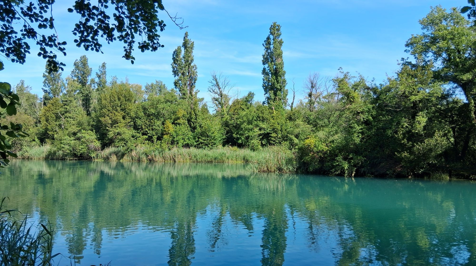
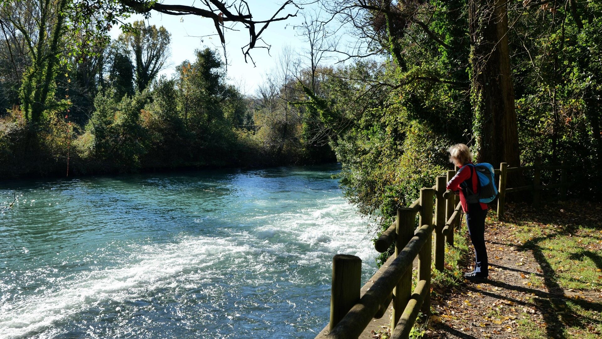
The springs of the Timava River are also a special sight and well worth a stop.
This stage is short, so take your time. In summer especially, do not miss the chance to swim in the sea.

Popularne wycieczki w okolicy
- 4,7
Rilkeweg
światłoWędrówka 6,19 km - 4,5
Grado !
światłoJazda na rowerze 45,5 km - 2,7
Grado - Triest (C204)
średniKolarstwo długodystansowe 68,2 km - 4,2
Z Grado do Punta Sdobba i z powrotem (P018)
światłoKolarstwo długodystansowe 18,2 km - 4,2
Grado - Città Giardino - Grado Pineta - Caramoddo
Jazda na rowerze 56,2 km - 5,0
Etappe 34 Alpe-Adria-Trail: Duino - Prosecco
średnidługodystansowy szlak pieszy 24,3 km - 3,0
Die Isola della cona
światłoWędrówka 12,7 km - 5,0
Sage Trail or Tiziana Weiss
światłoWędrówka 2,41 km FVG 2/b Wariant krasowy (C2V2)
ciężkiKolarstwo długodystansowe 105,1 km- 4,0
Etappe 33 Alpe-Adria-Trail: Gradisca d'Isonzo - Duino
średnidługodystansowy szlak pieszy 27,8 km
Wędrówki i tropienie


Nie przegap ofert i inspiracji na następne wakacje
Twój adres e-mail została dodana do listy mailingowej.