Nawigacja
Pobierz tę trasę na swój telefon komórkowy
Mapa
FVG1 Alpe Adria Cycle Route (CR100) from Grado to Tarvisio

średni
Kolarstwo długodystansowe
176,35 km
Zeskanuj kod QR i rozpocznij nawigację w aplikacji bergfex.
QR Code
Wędrówki i tropienie
Pobierz dla iOS
Pobierz dla systemu Android

FVG1 Alpe Adria Cycle Route (CR100) from Grado to Tarvisio

średni
Kolarstwo długodystansowe
Mapa
Odległość
176,4 km
Czas trwania
13:50 h
Ascent
1 157 hm
Poziom morza
- m

Poziom trudności: 3
Ścieżka do pobrania
Mapa
FVG1 Alpe Adria Cycle Route (CR100) from Grado to Tarvisio
średni
Kolarstwo długodystansowe
176,35 km

Zdjęcia naszych użytkowników

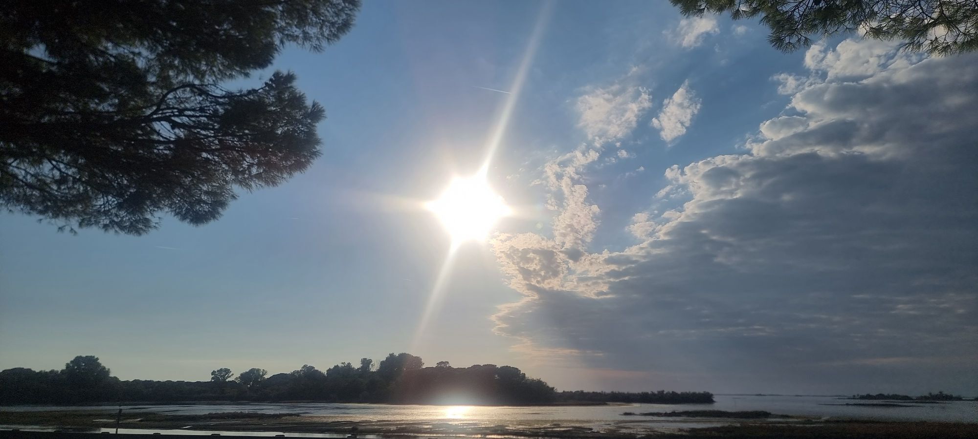
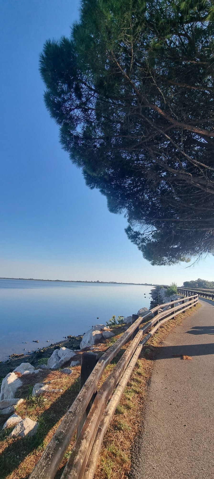
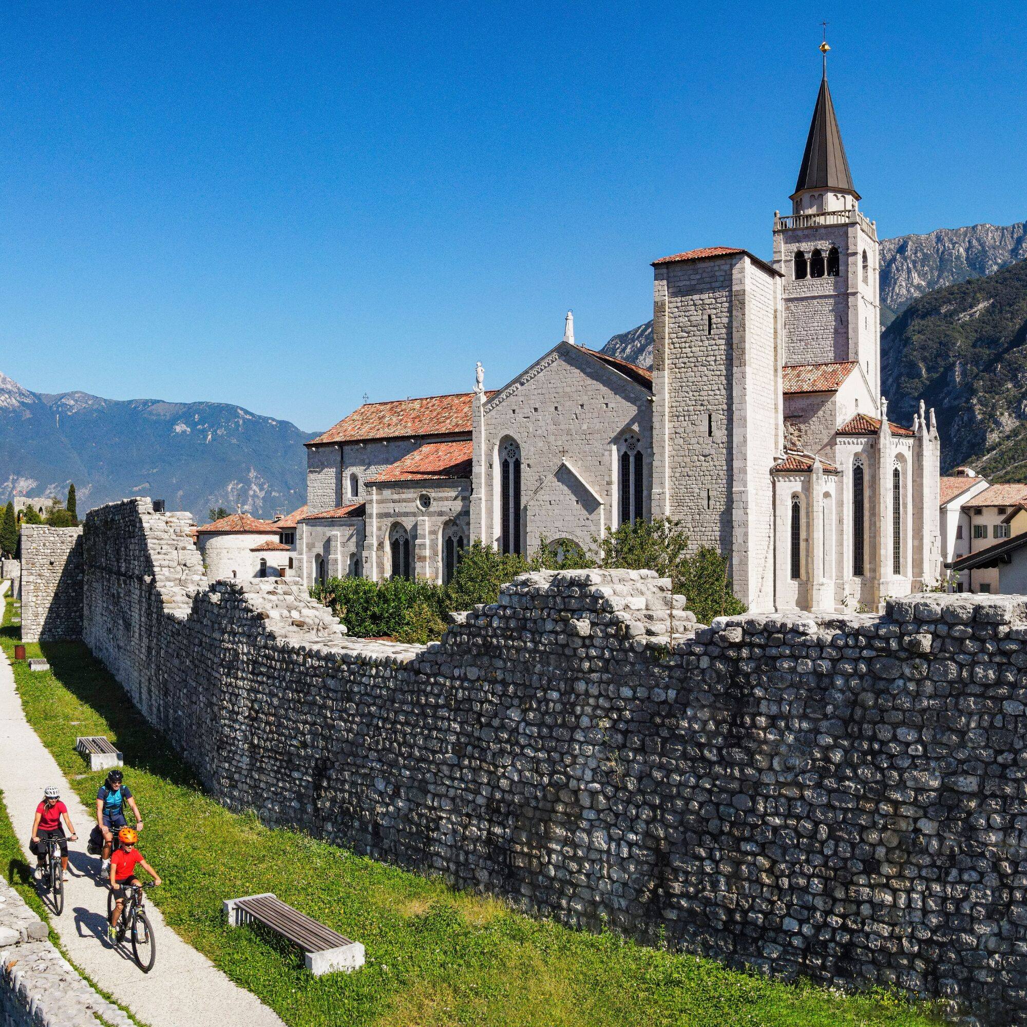
This itinerary begins in Grado, a well-known seaside resort on the Adriatic Sea, and ends in Tarvisio, nestled in the Julian Alps. The route passes through the UNESCO World Heritage sites of Aquileia and...

Opis
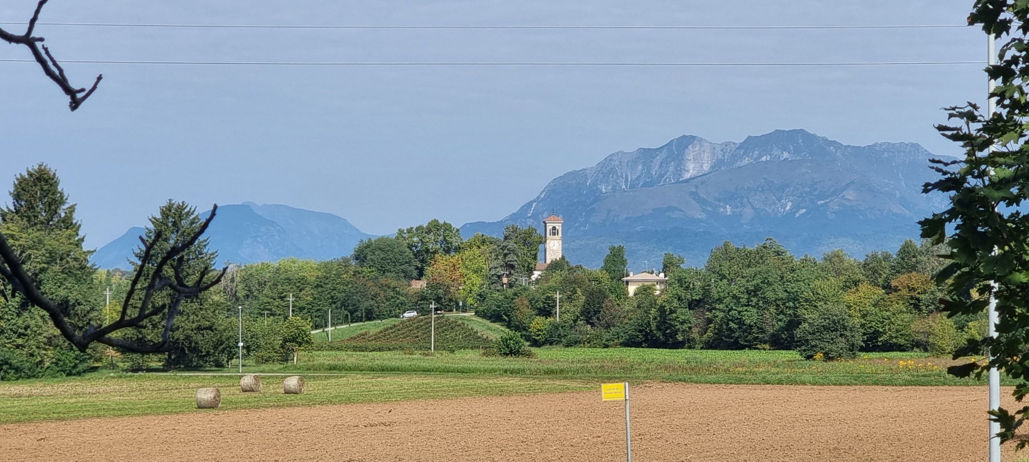
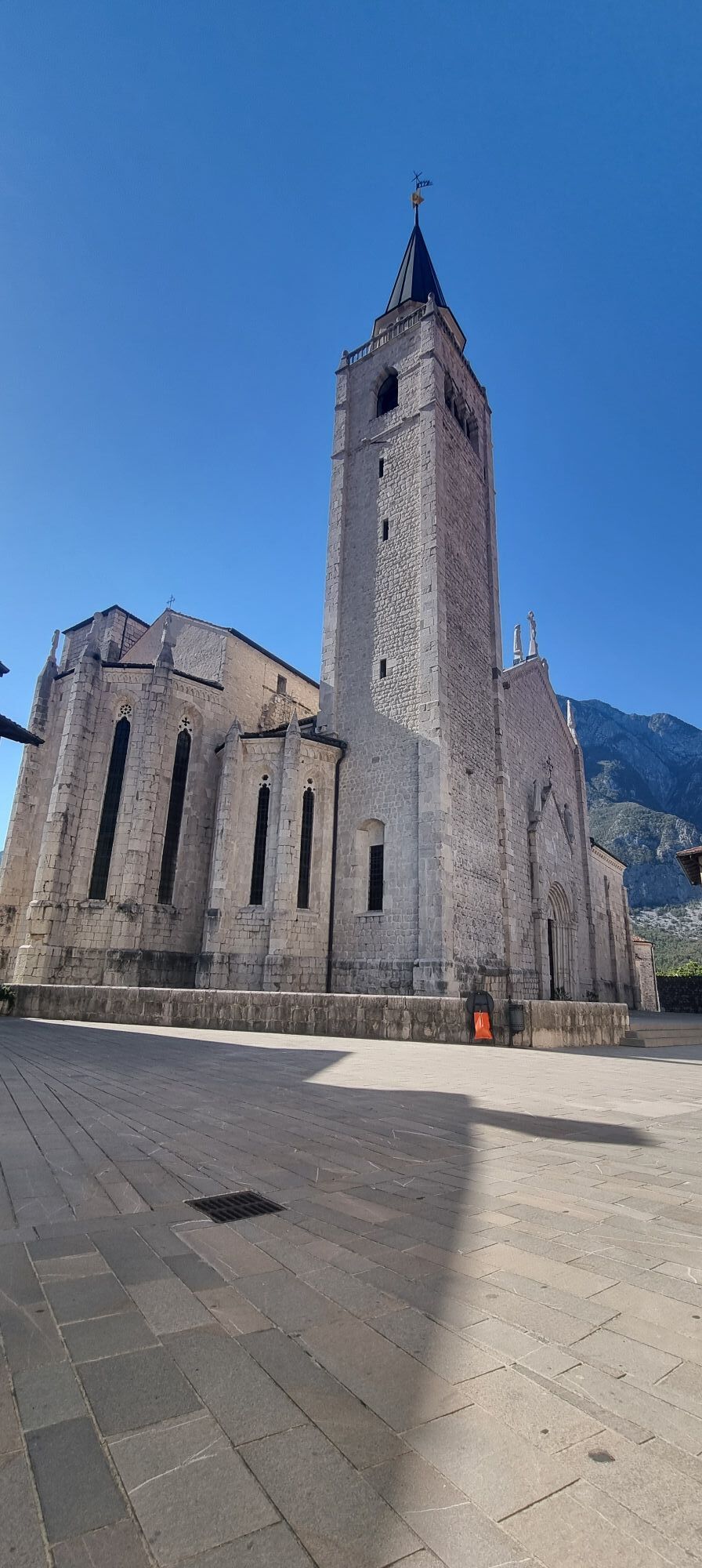
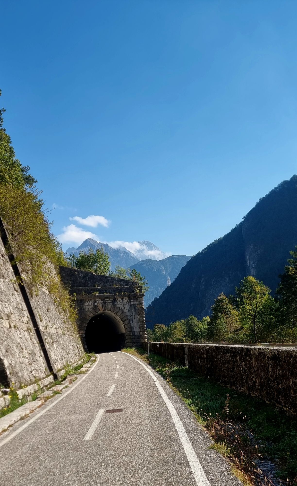
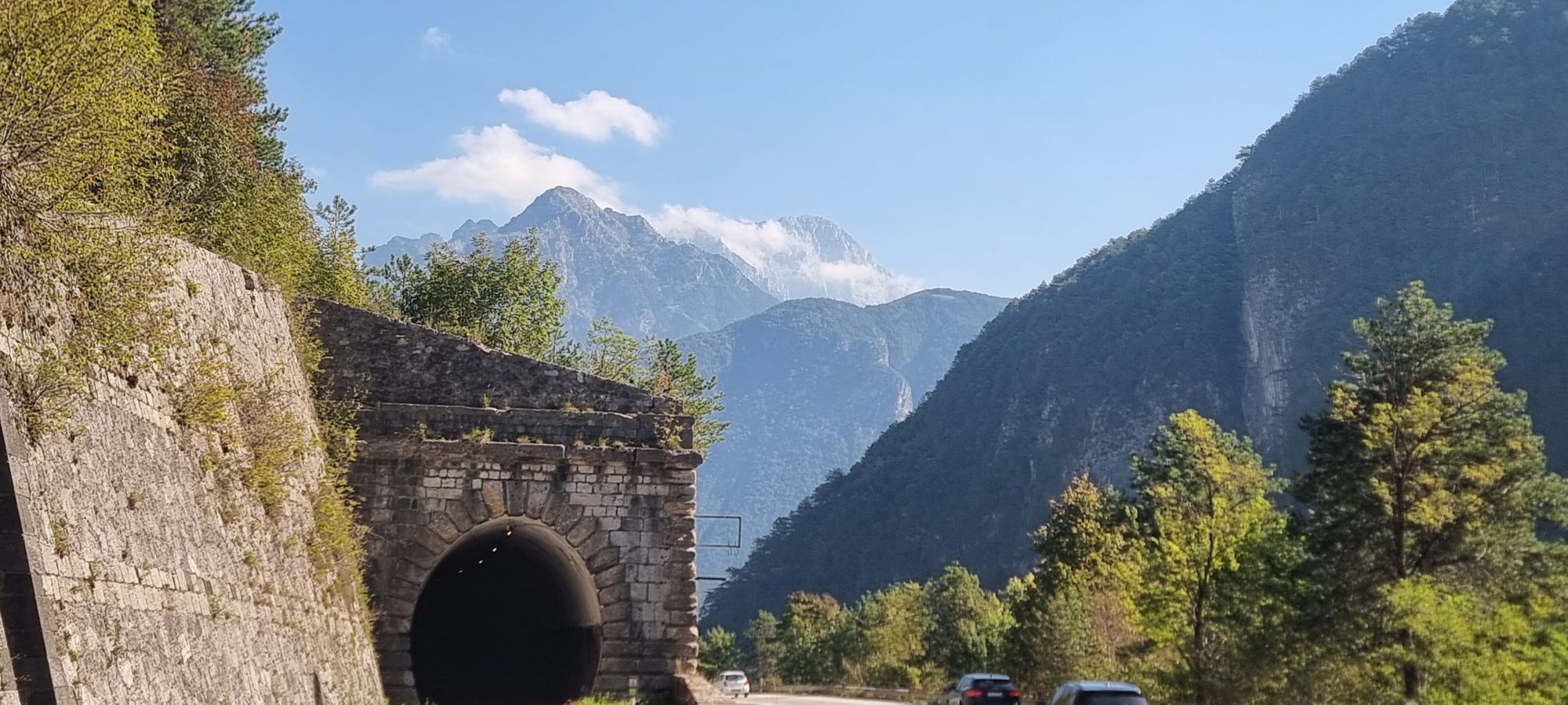
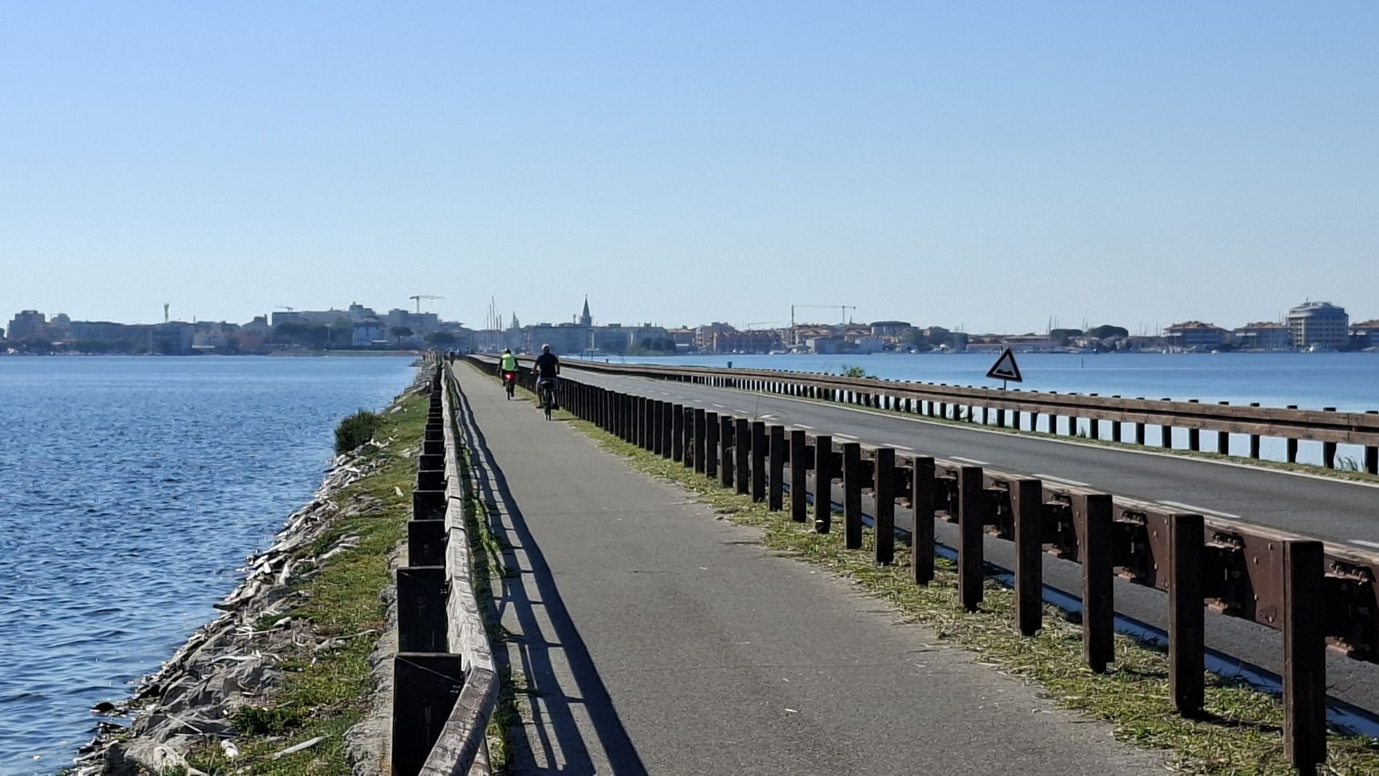
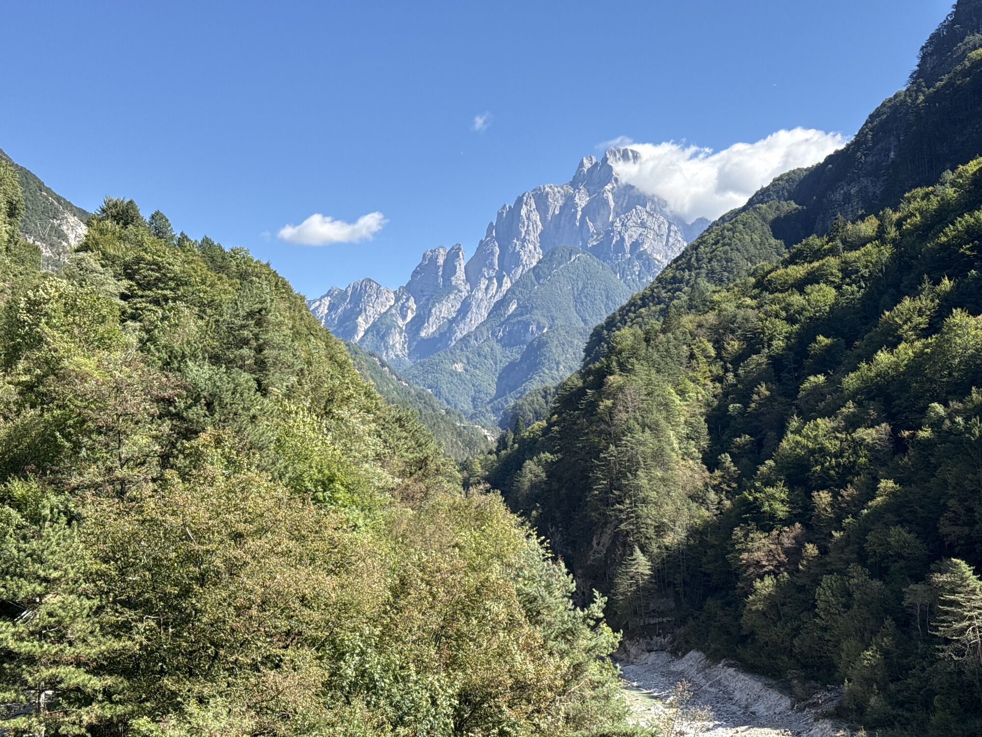
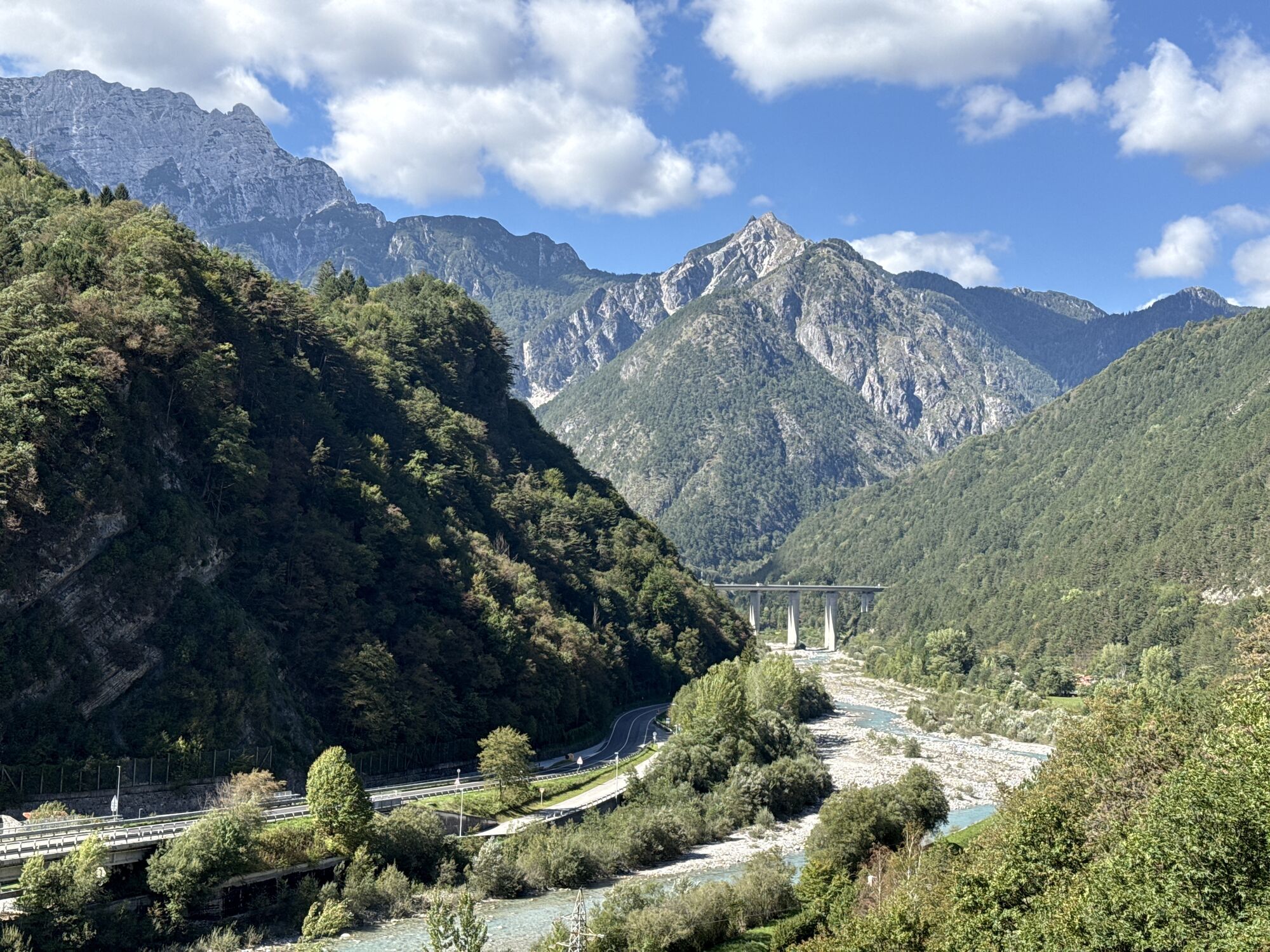
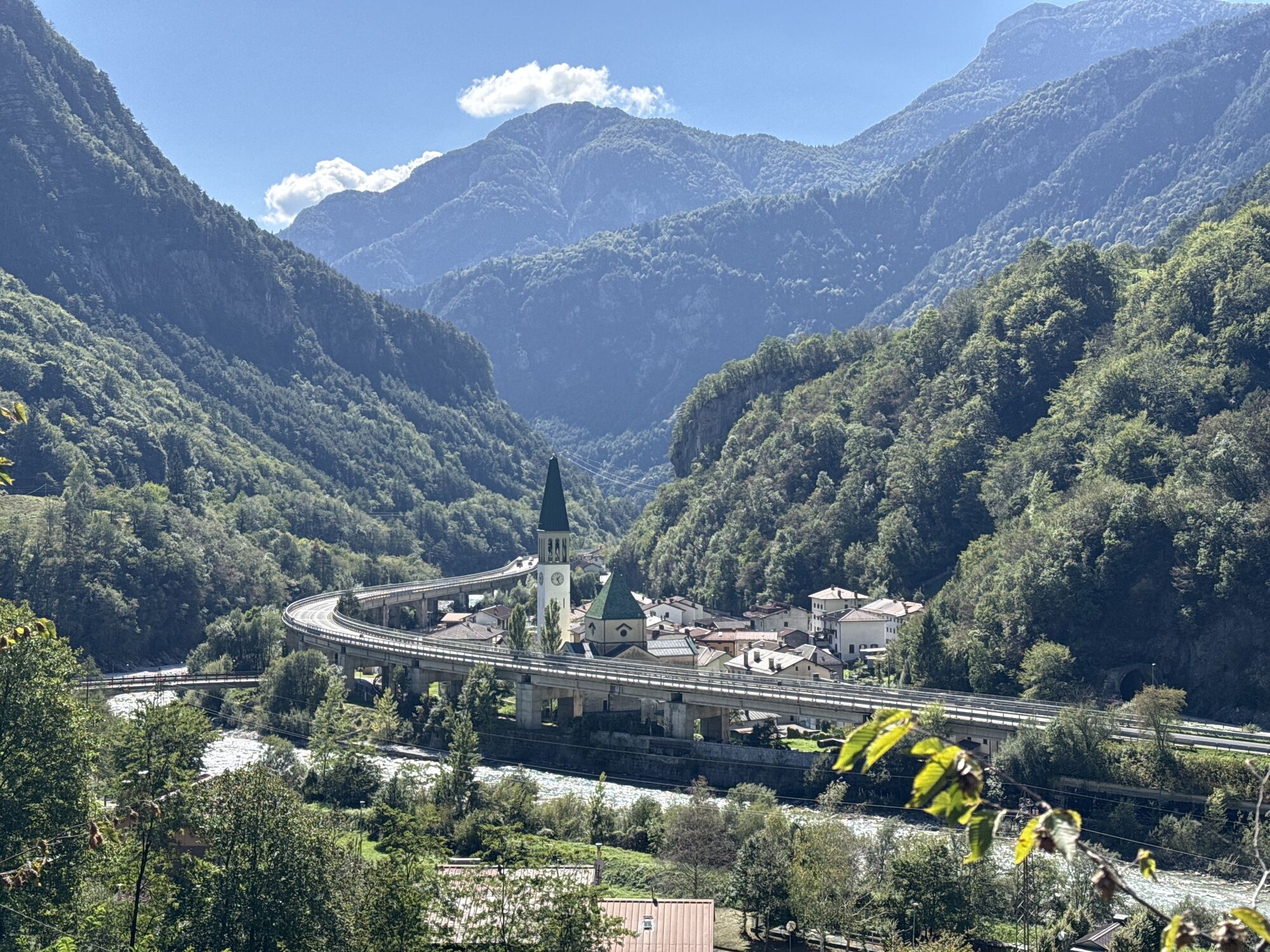
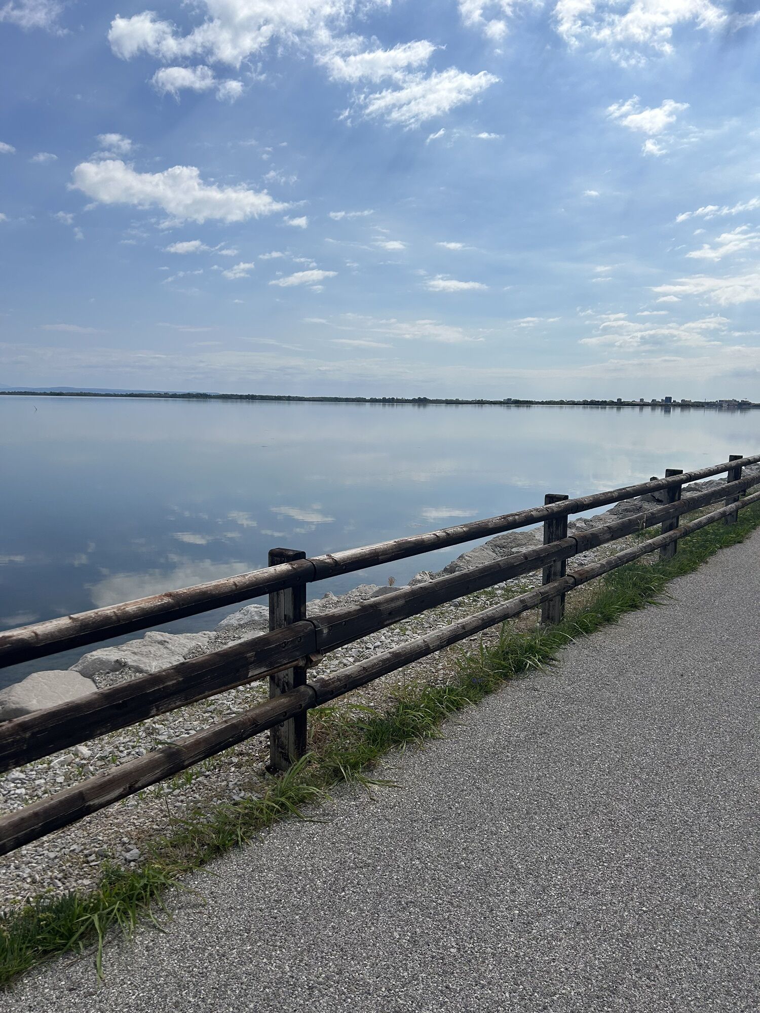
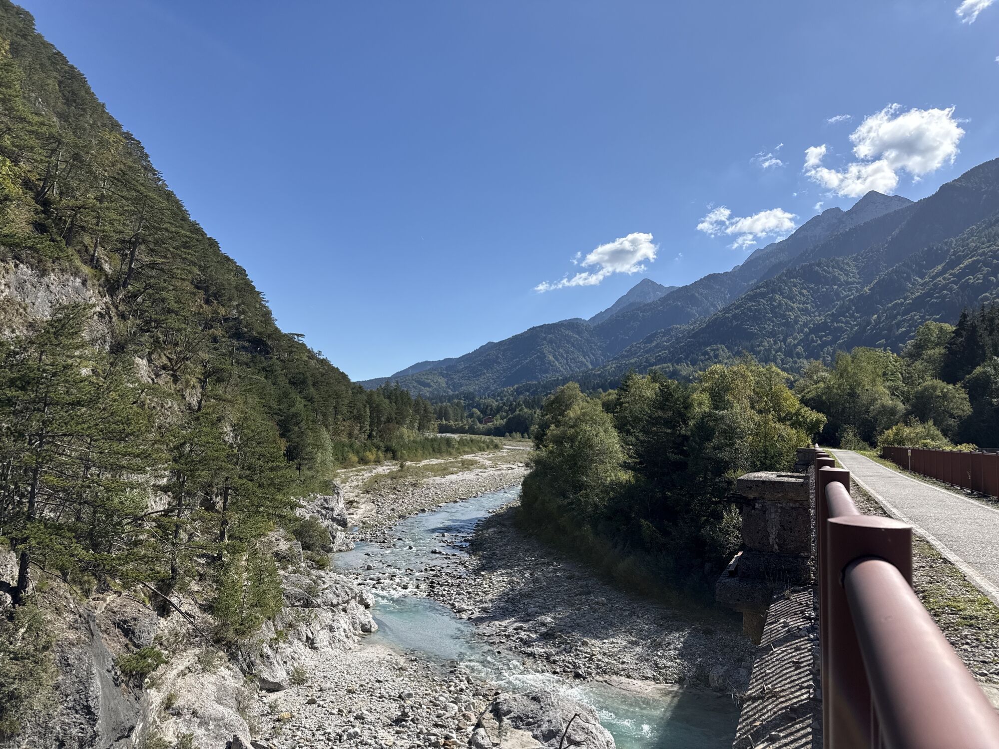
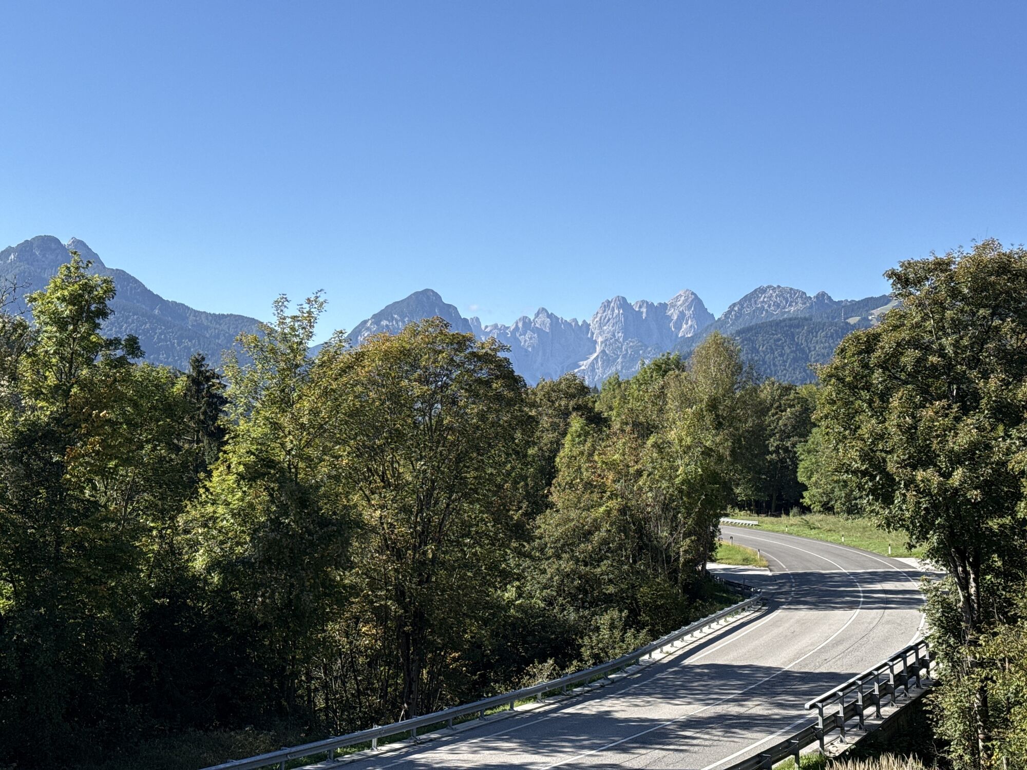
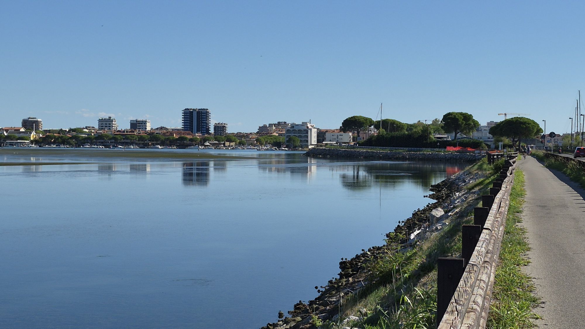
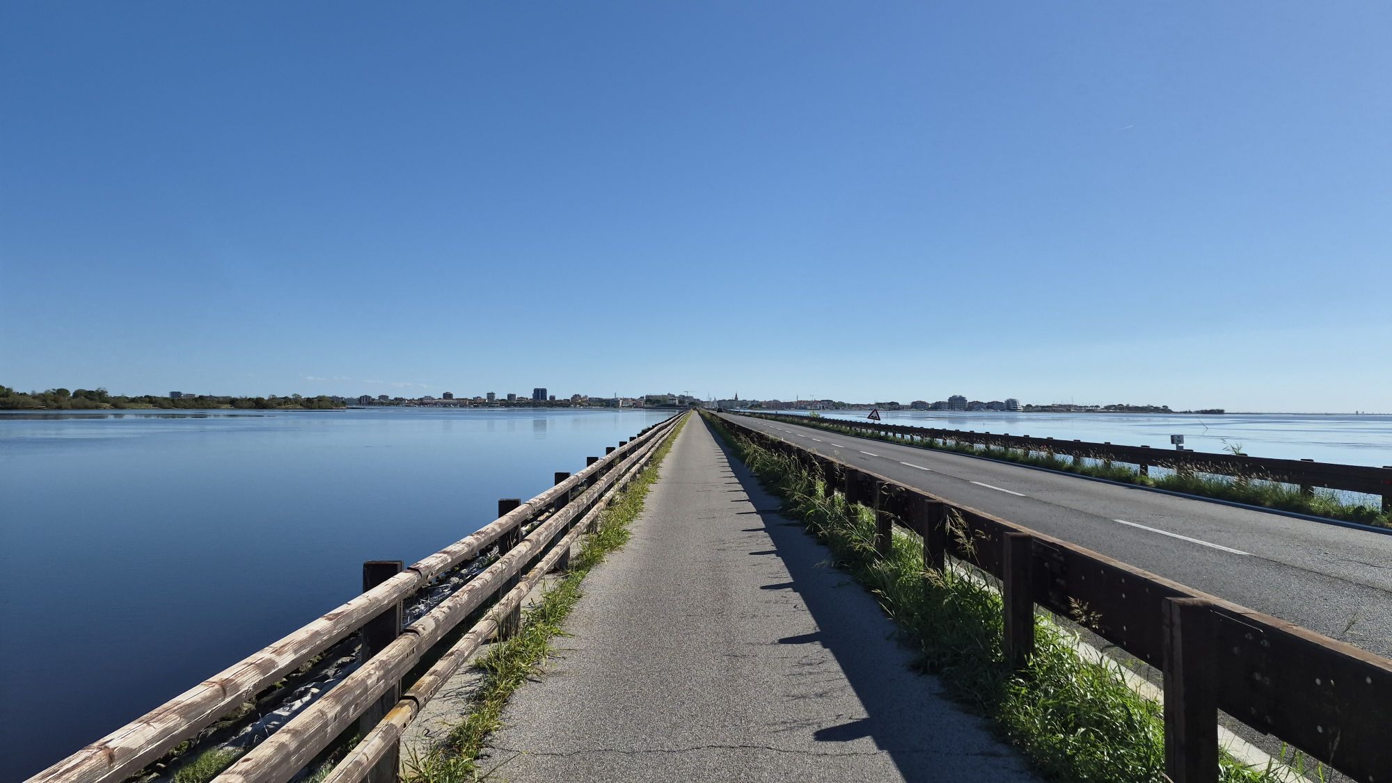
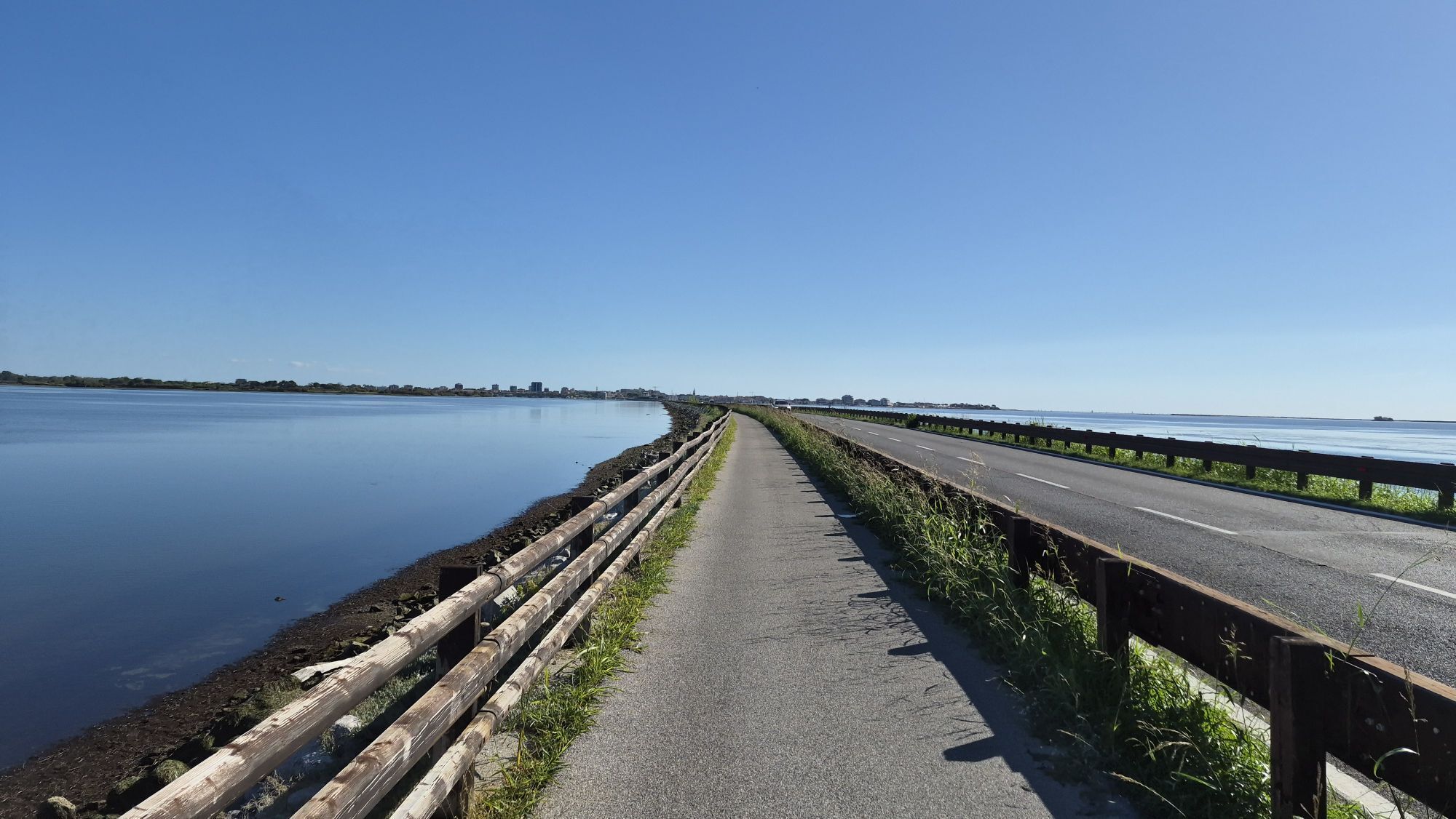
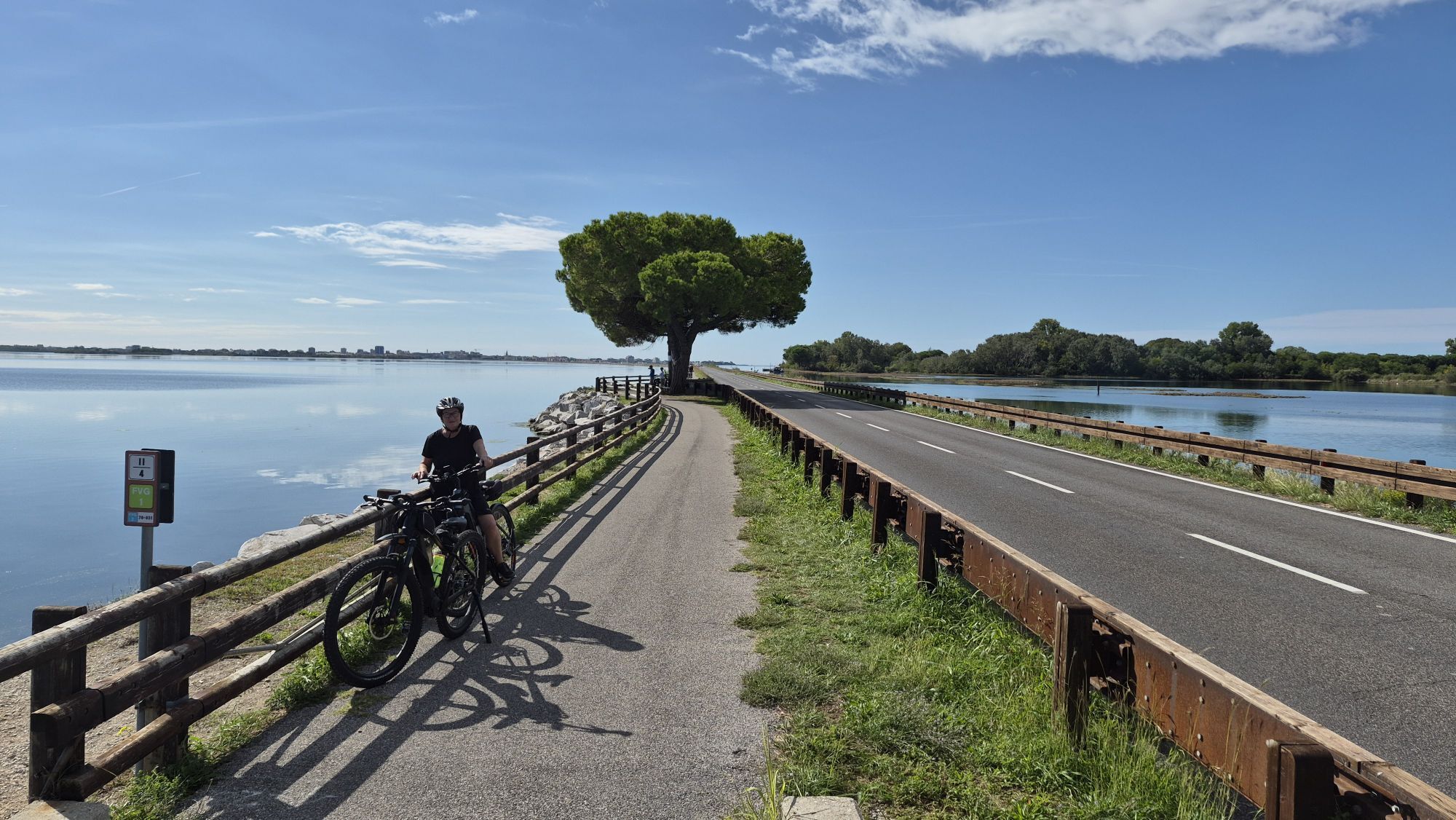
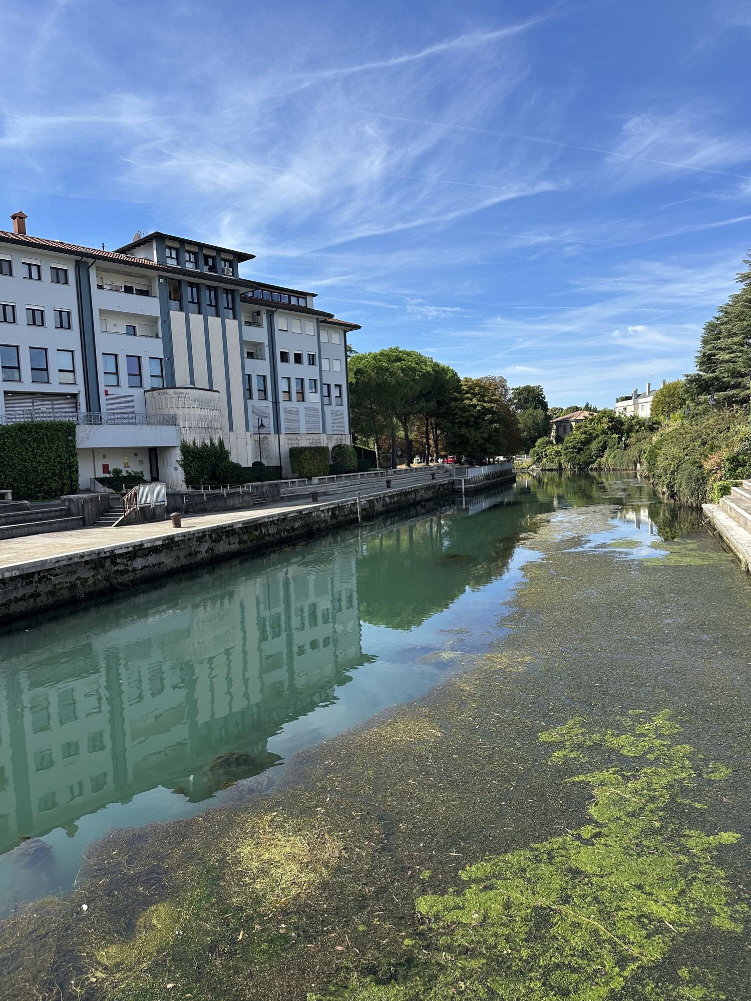
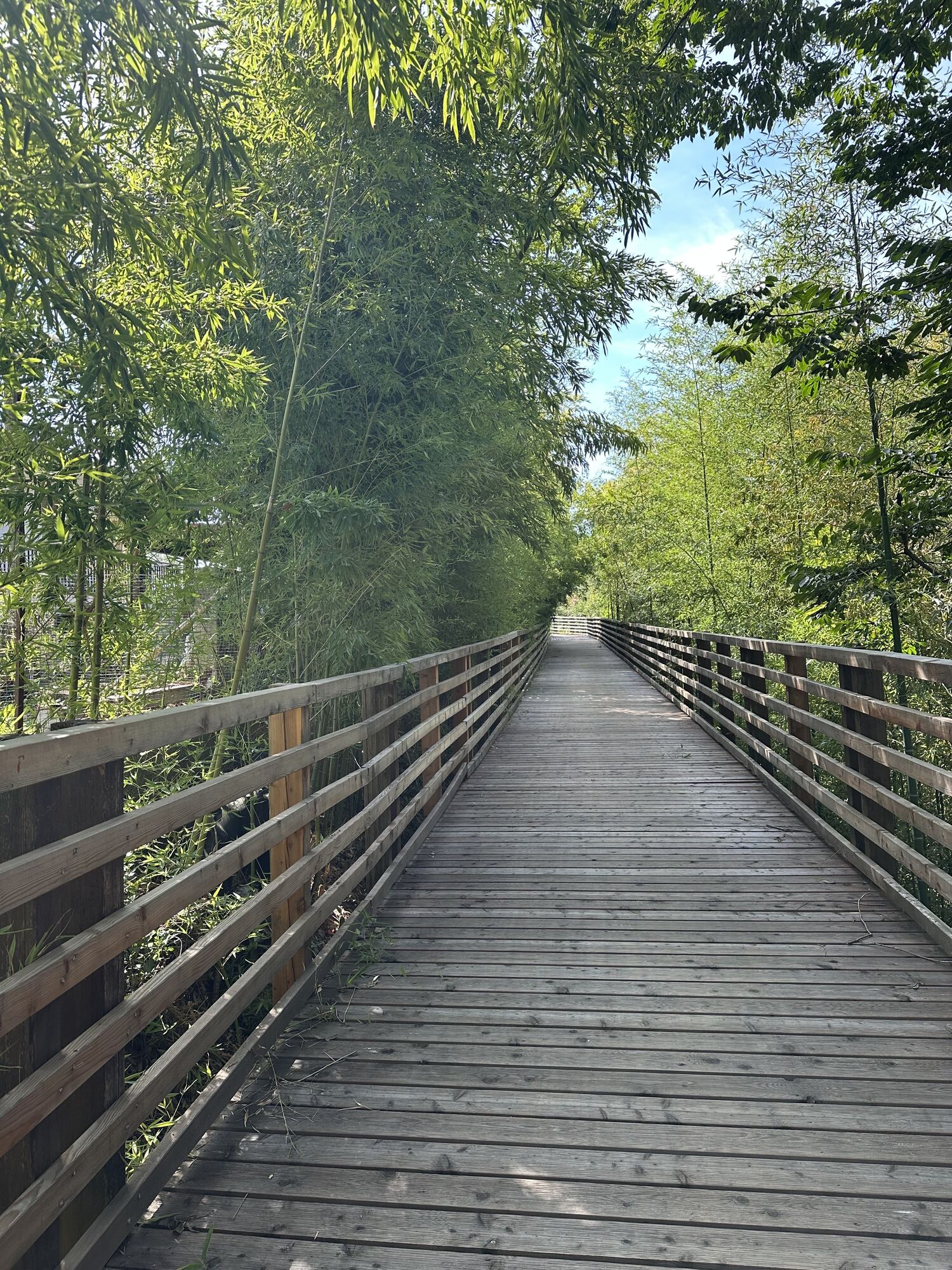
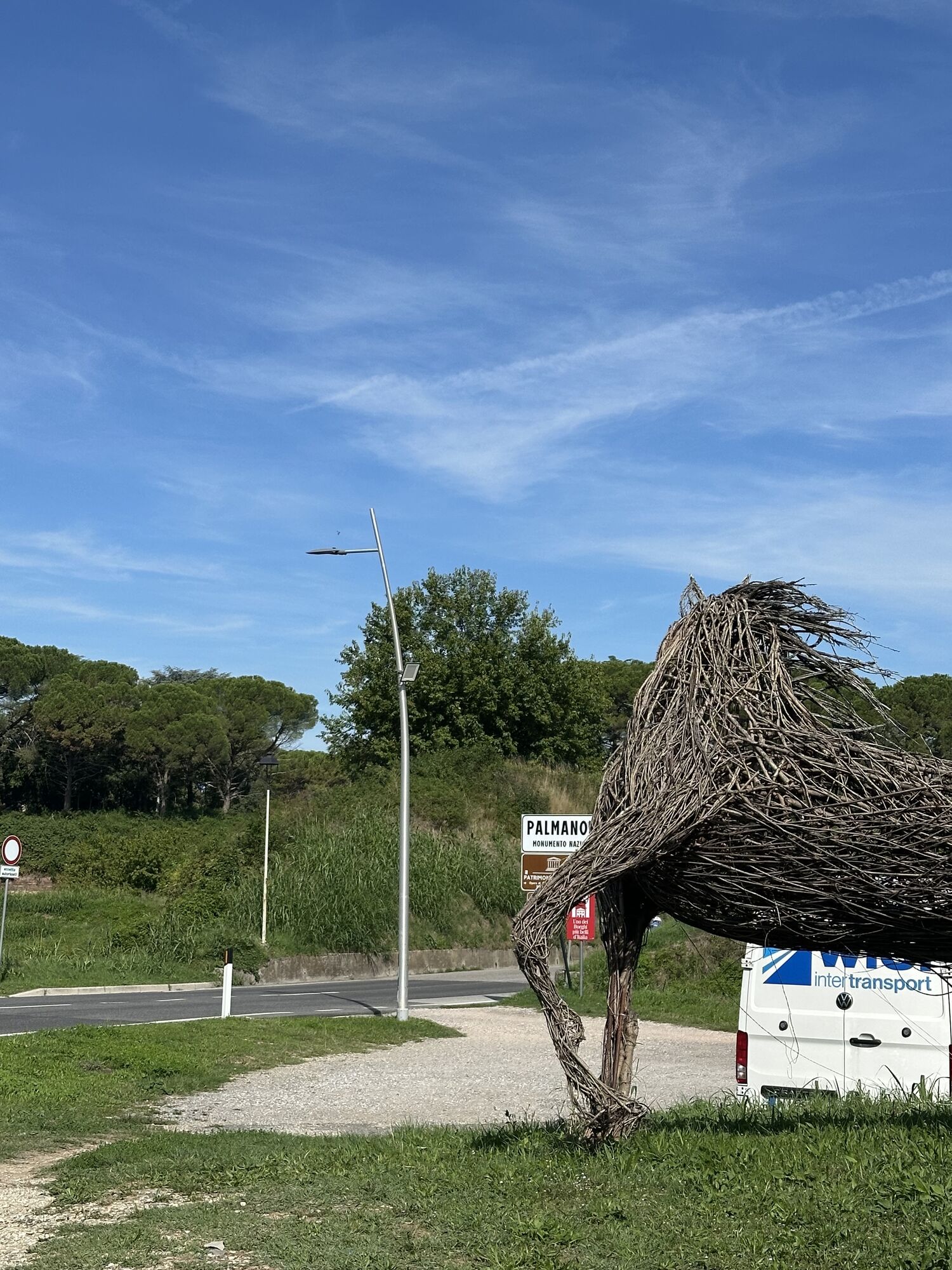
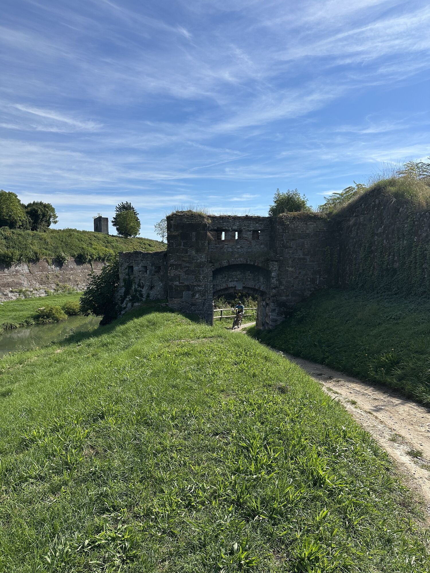
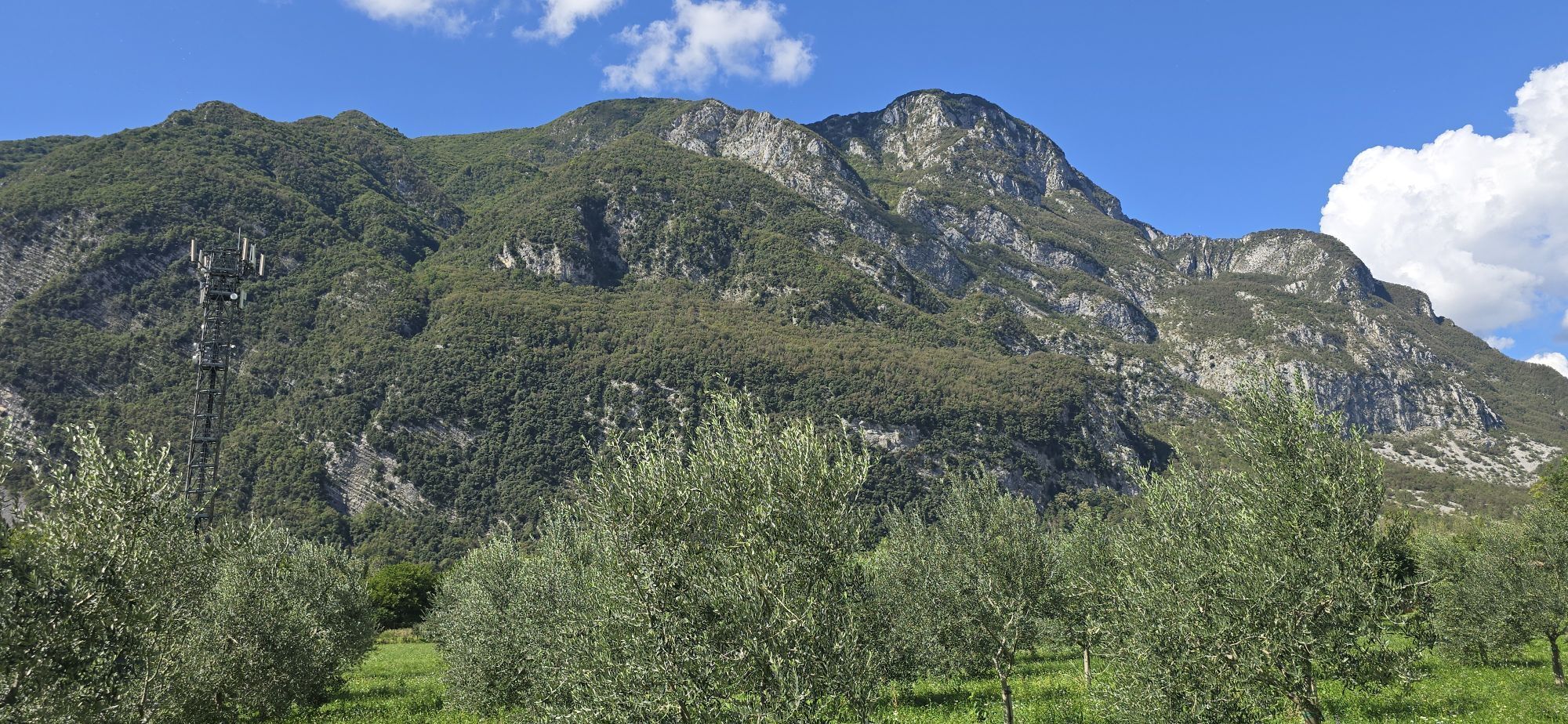
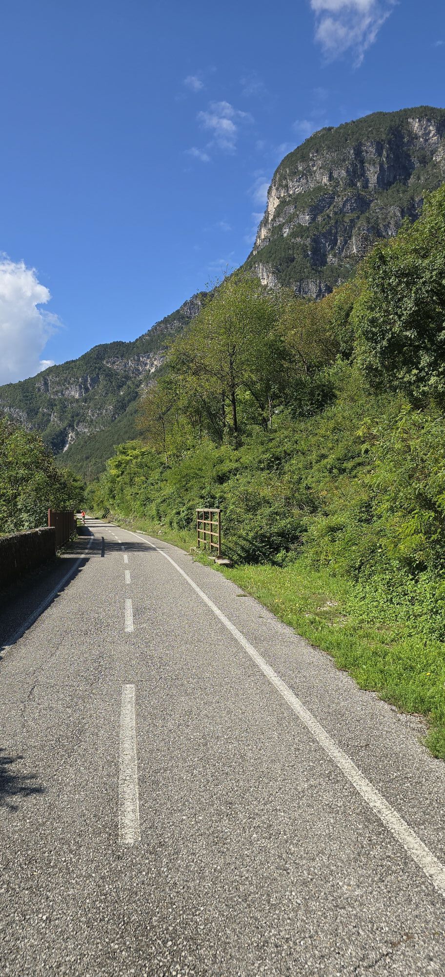
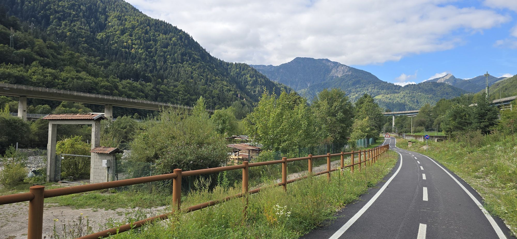
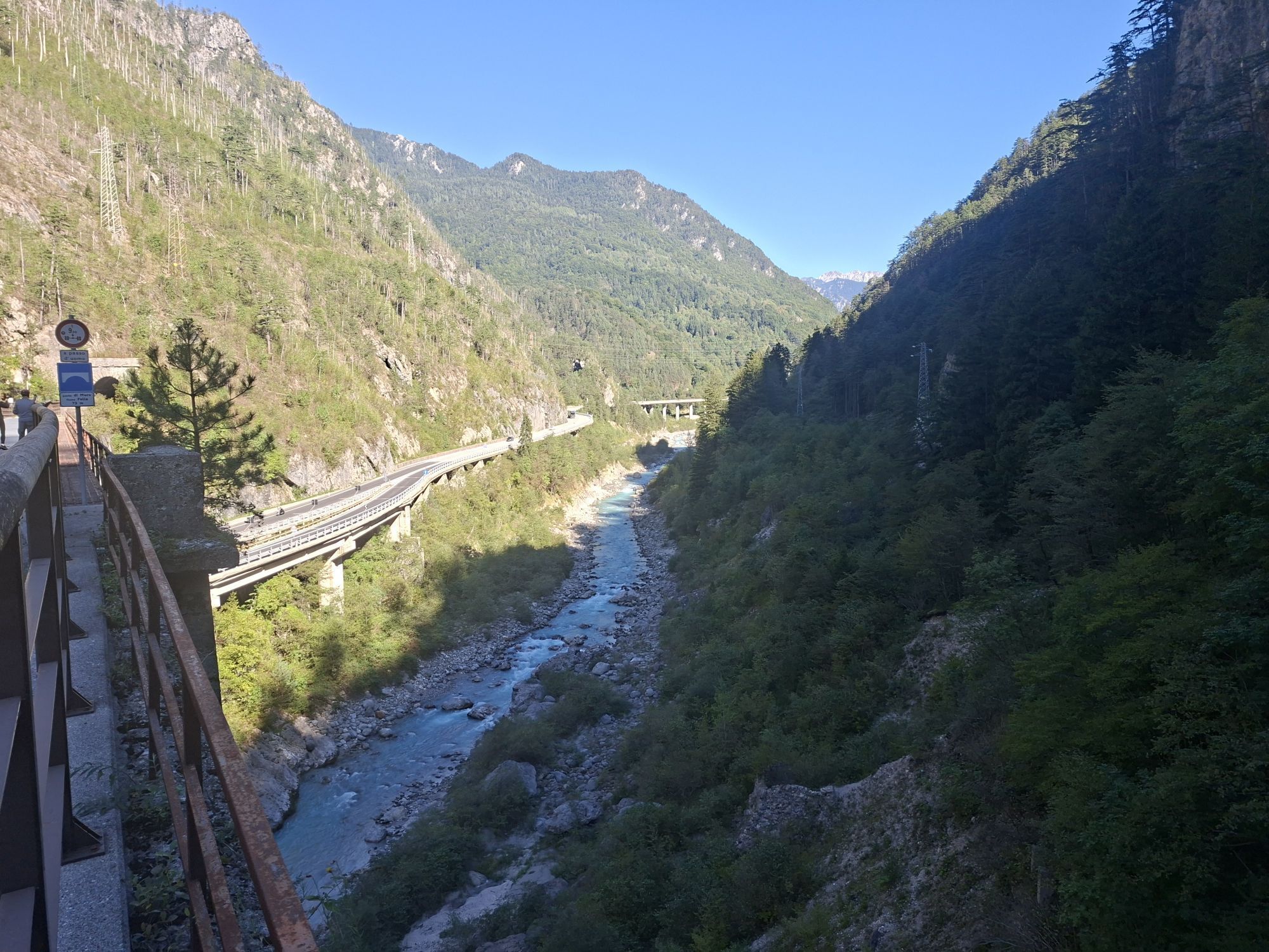
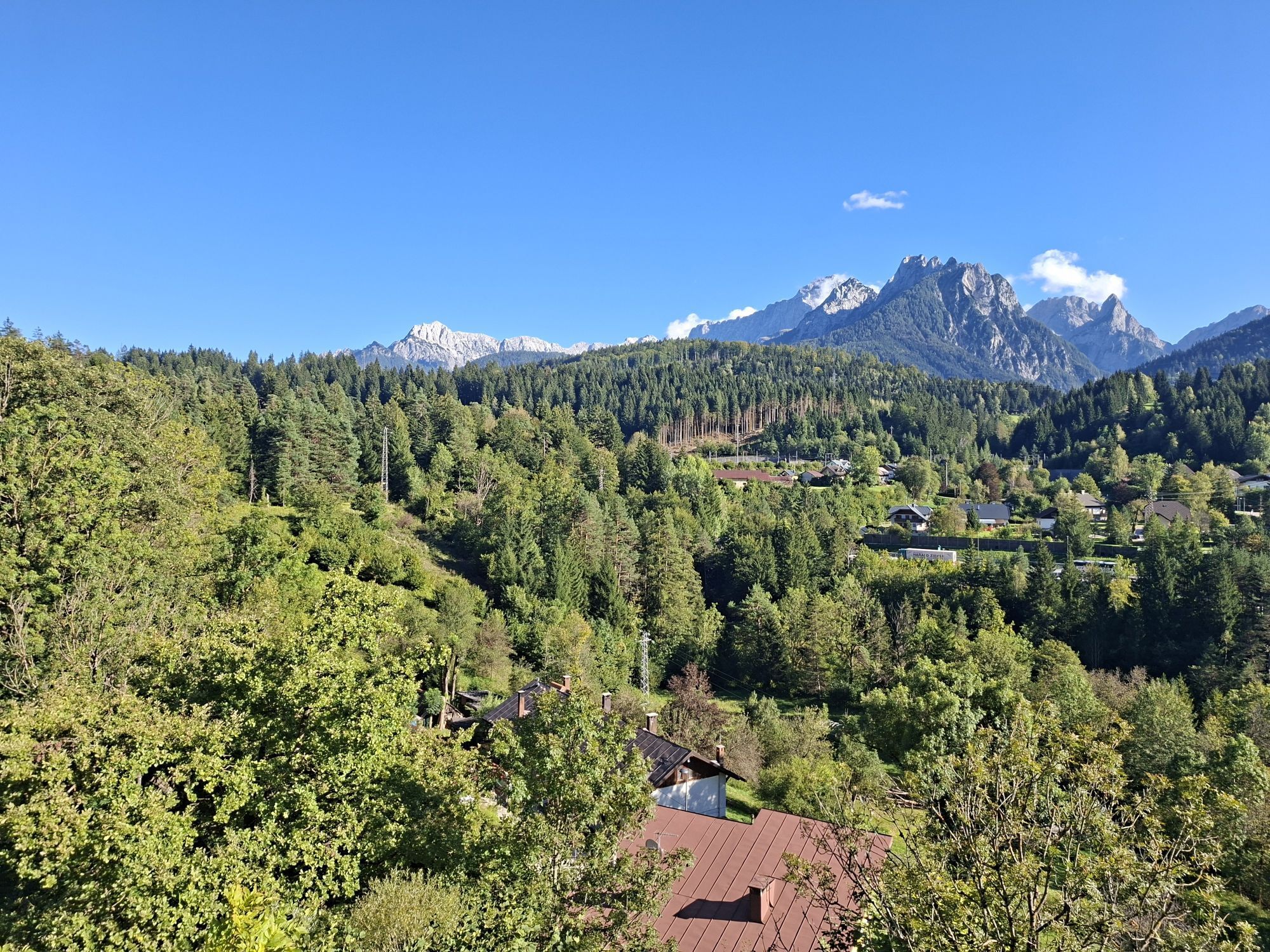
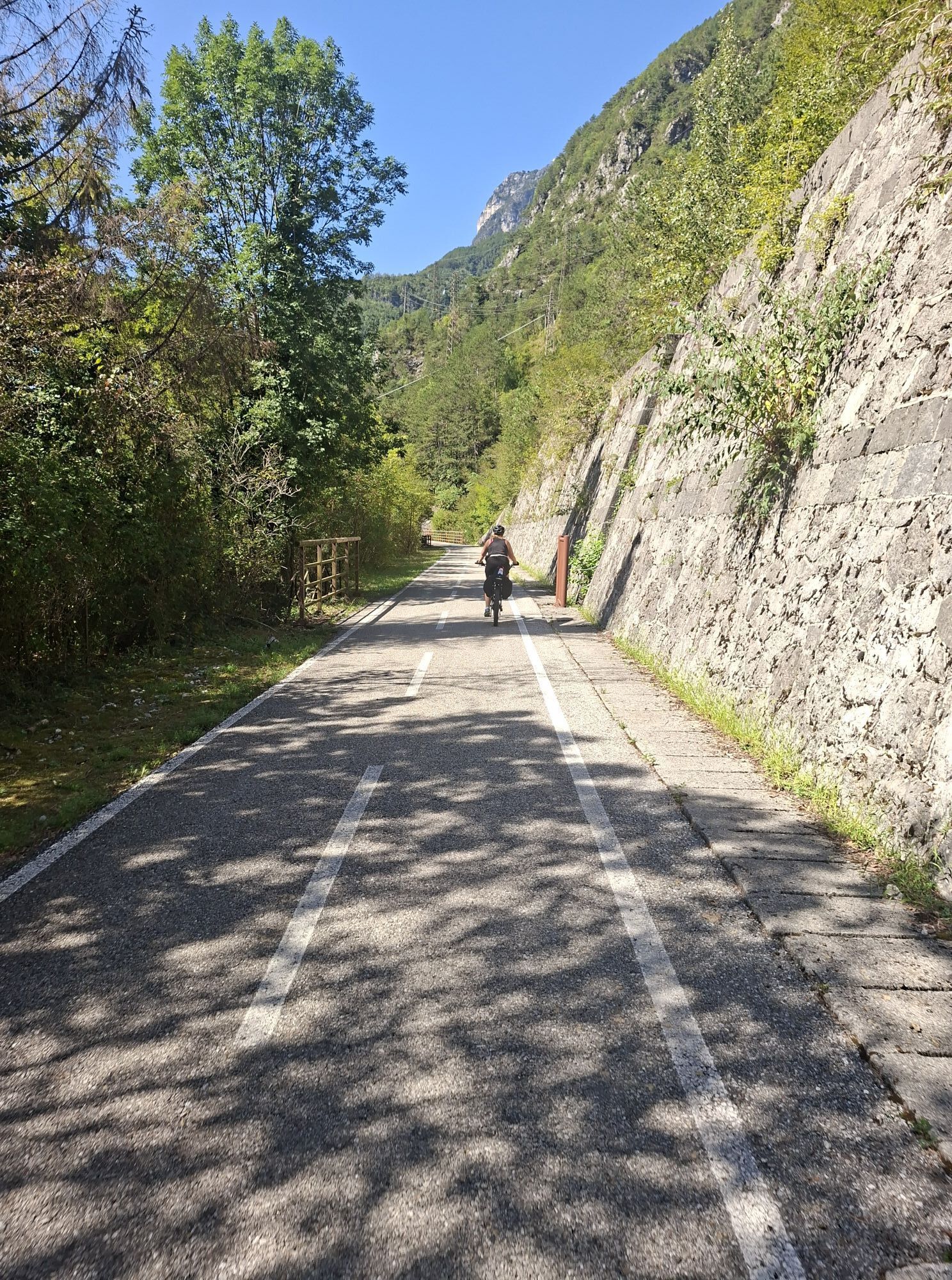
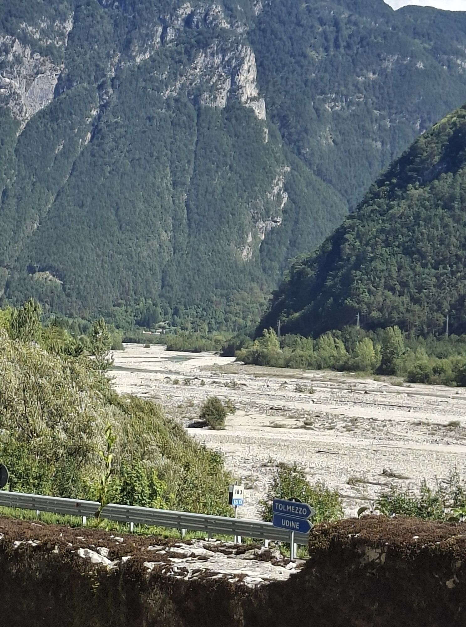
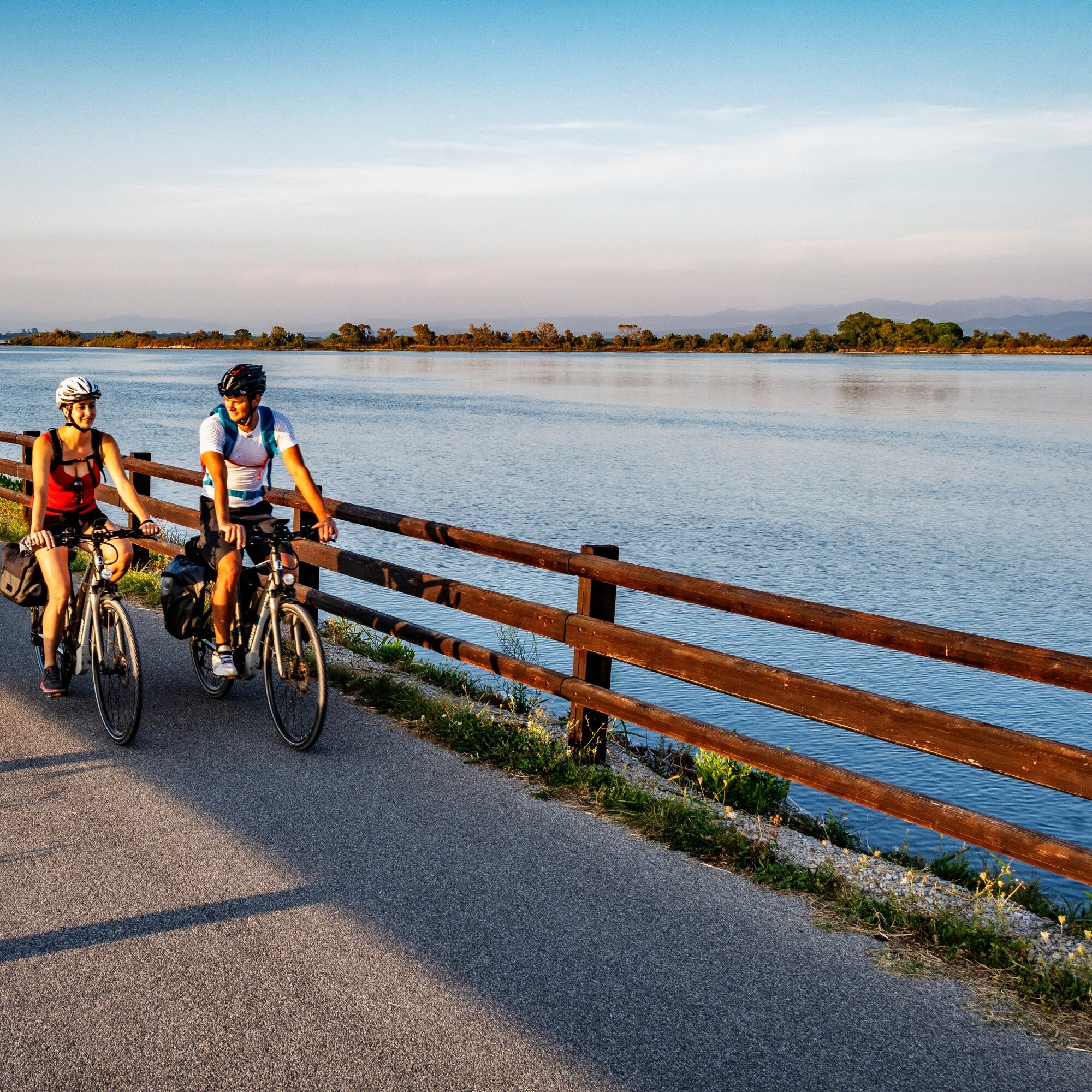
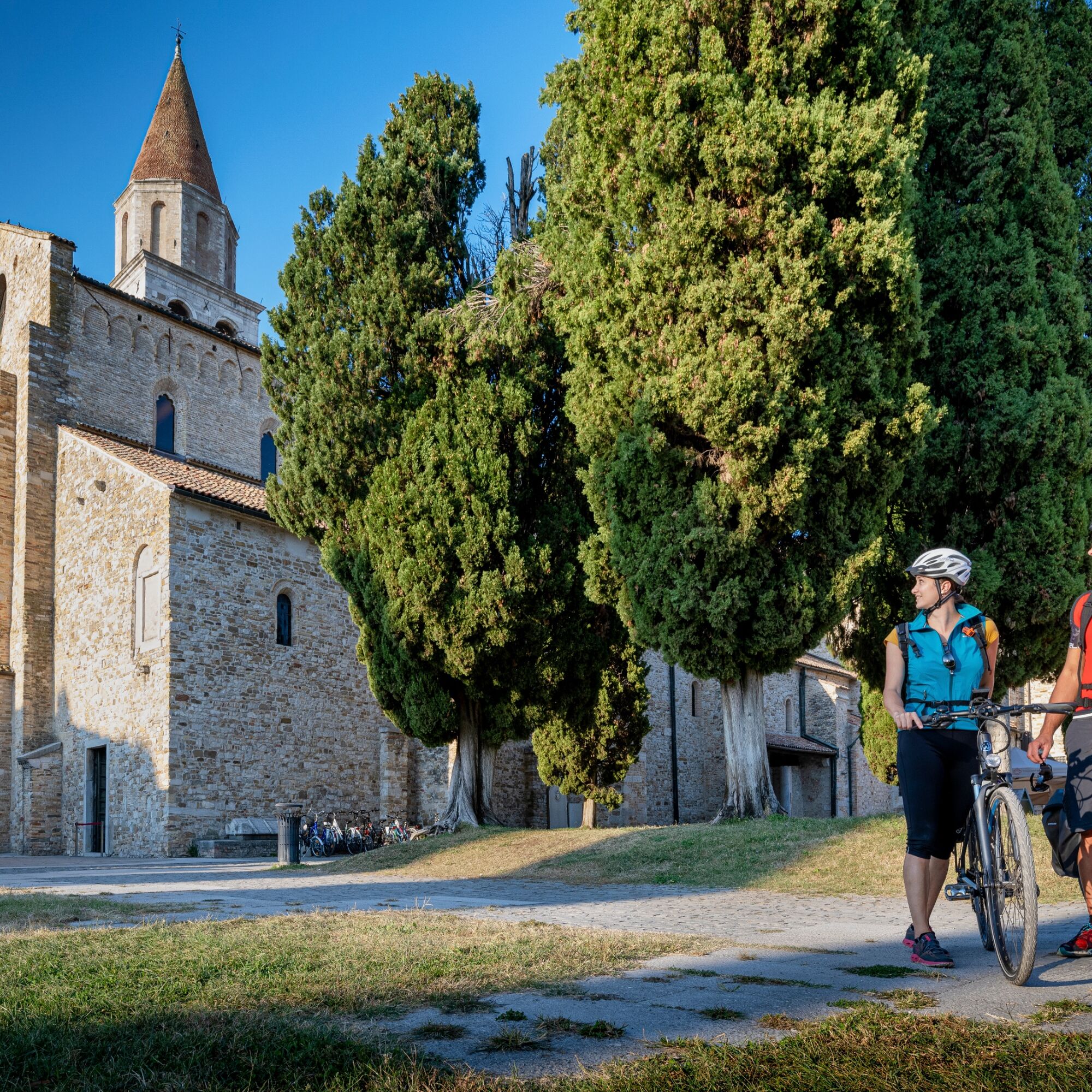
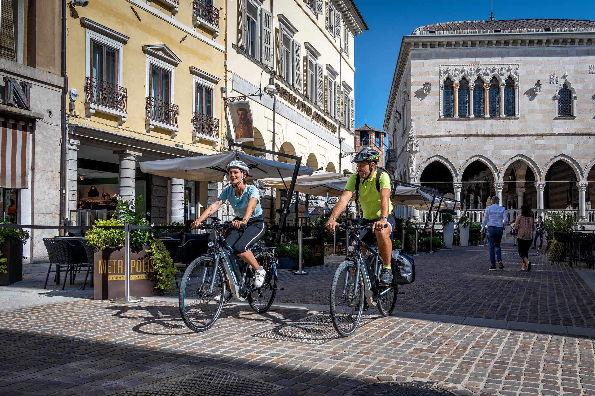
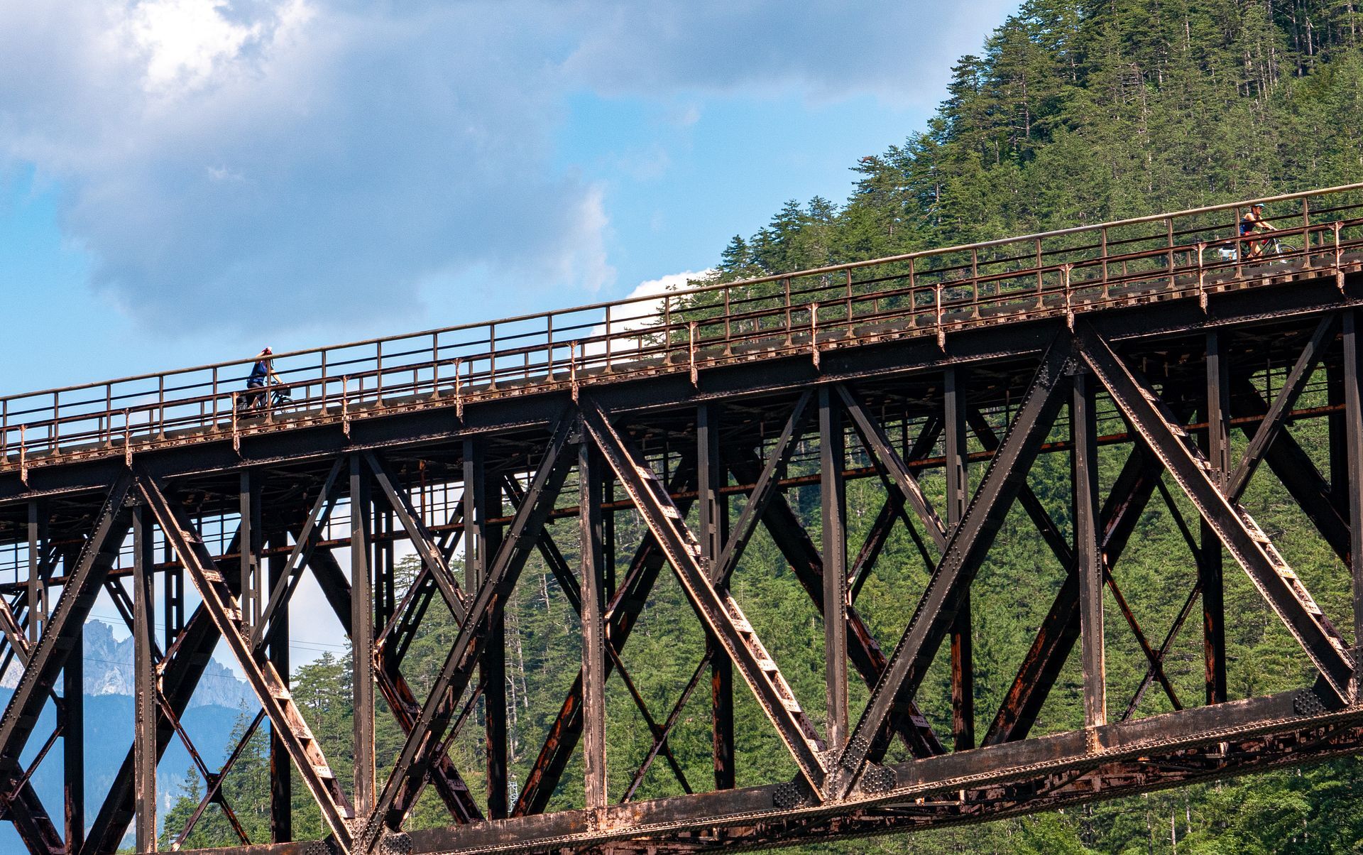
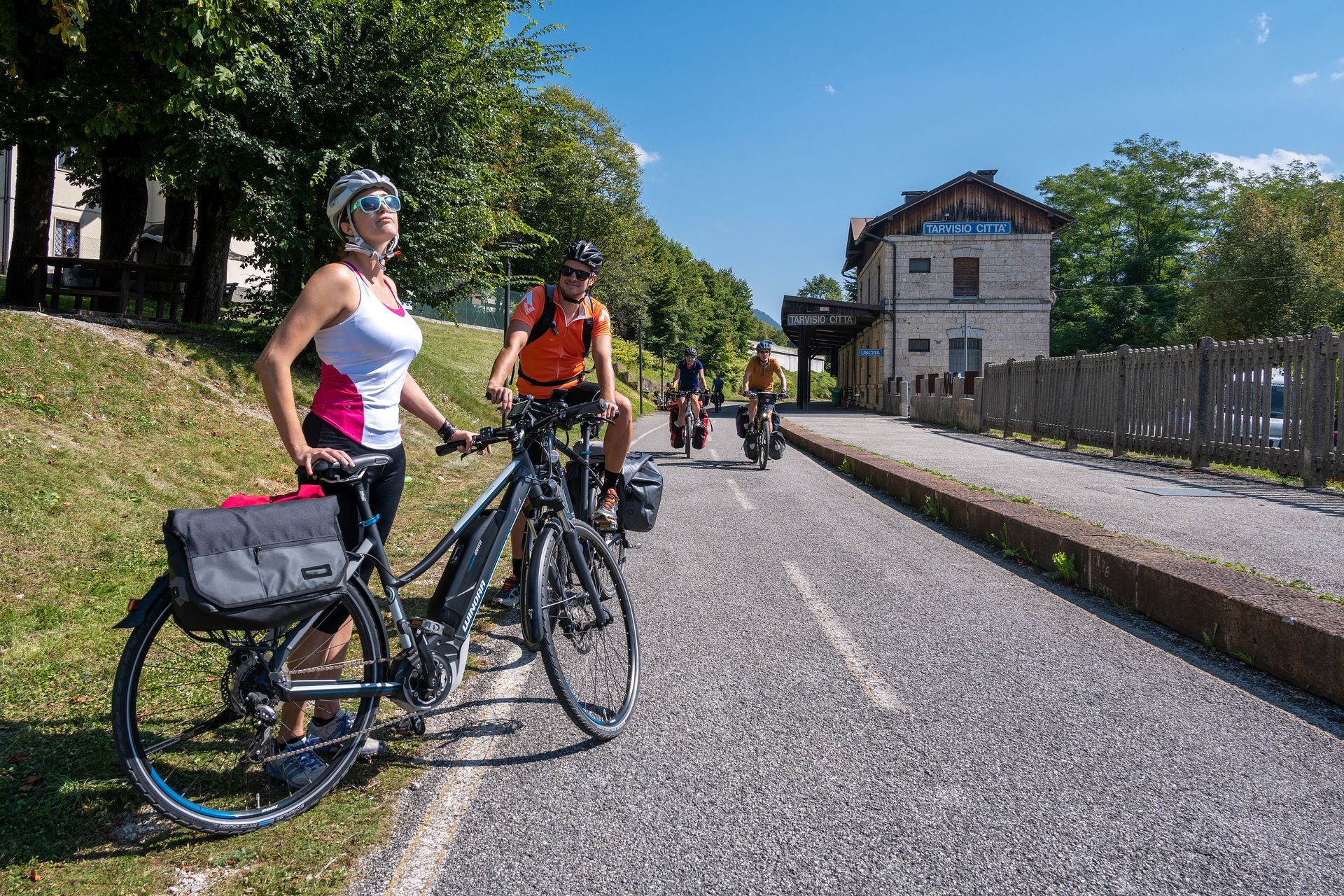
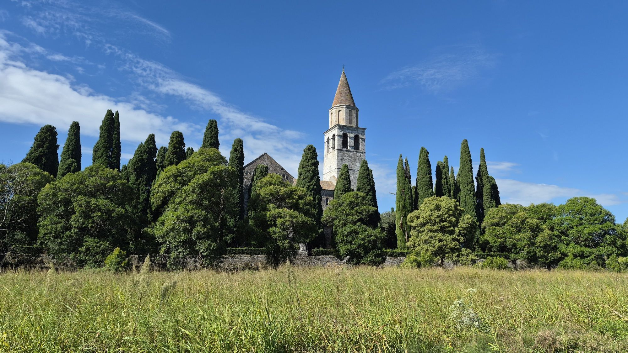
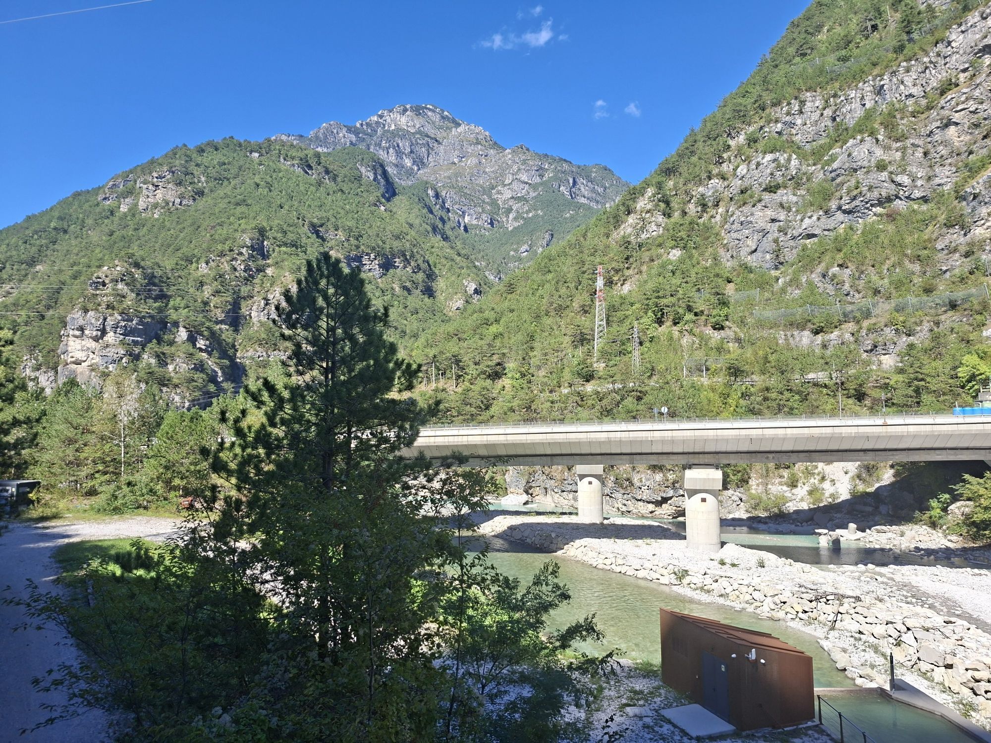
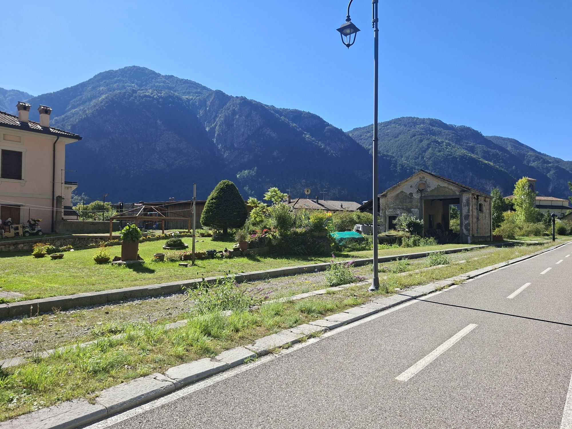
This itinerary begins in Grado, a well-known seaside resort on the Adriatic Sea, and ends in Tarvisio, nestled in the Julian Alps. The route passes through the UNESCO World Heritage sites of Aquileia and Palmanova and numerous rural villages, including Strassoldo and Venzone, which are listed among Italy’s Most Beautiful Villages. About halfway along the route lies Udine, a Venetian town that’s perfect for cyclists. From Artegna, the route winds along a disused railroad track, with a few short stretches in Gemona and Venzone on bike paths or low-traffic roads. Along the way, you can admire a wide variety of natural landscapes and cycle alongside the Tagliamento and Fella rivers. The route features a gentle but steady climb, with an elevation gain of 800 meters over 175 km. The section from Grado to Venzone is open year-round, while the mountainous stretch from Venzone to Tarvisio is closed from November through April.
Trasa
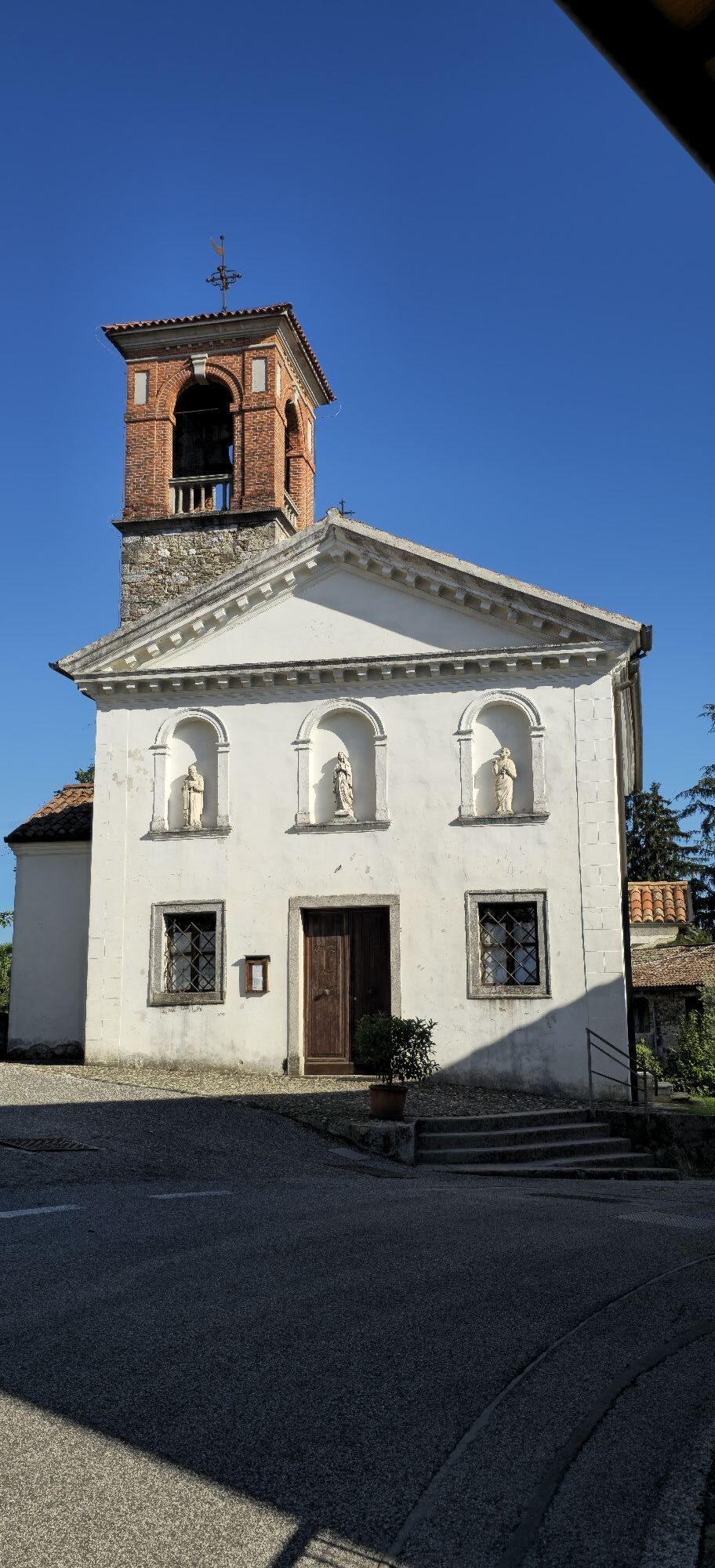
Cappella di Santa Croce
(3 m)
Miejsce kultu
17,1 km
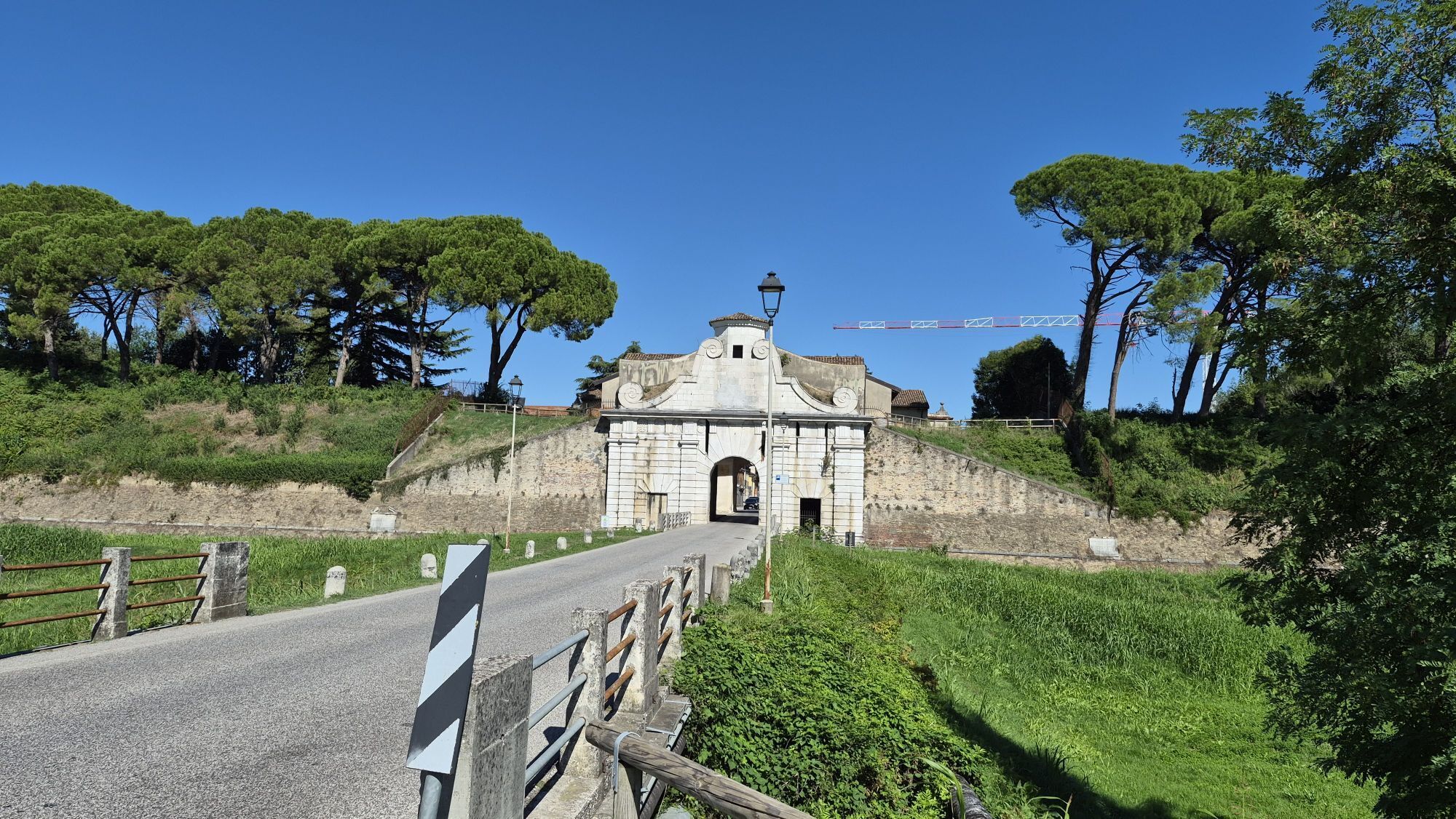
Palmanova
(27 m)
Miasto
28,4 km
Chiesa di Sant'Antonio di Padova
(118 m)
Miejsce kultu
62,6 km
Villaggio Parma
(199 m)
Sąsiedztwo
74,5 km
Chiesa di San Rocco
(241 m)
Miejsce kultu
114,2 km
Carnia / Stazion di Cjargne
(257 m)
Wioska
115,8 km
Tarvisio / Tarvis / Trbiž
(751 m)
Miasto
168,2 km
Trasa
Mapa
FVG1 Alpe Adria Cycle Route (CR100) from Grado to Tarvisio
średni
Kolarstwo długodystansowe
176,35 km
Grado / Grau
(2 m)
Miasto
0,1 km
Ai Due Leoni
(2 m)
Restauracja
6,3 km
Terreno Bruciato
Korytarz/teren
8,8 km
Aquileia / Aquilee
(4 m)
Wioska
9,9 km
Capitolo
(4 m)
Sąsiedztwo
10,7 km
All'anfora
(2 m)
Restauracja
12,0 km
OsPampas Churrascaria
(1 m)
Restauracja
12,9 km
Morona
(1 m)
Rozliczenie
12,9 km
Terzo di Aquileia / Tiars
(4 m)
Wioska
14,8 km
Cappella di Santa Croce
(3 m)
Miejsce kultu
17,1 km
Cervignano del Friuli / Çarvignan
(3 m)
Miasto
17,4 km
Rotonda del Taglio
(4 m)
Sąsiedztwo
18,7 km
Chichibio
(1 m)
Restauracja
18,8 km
Muscoli / Muscli
(4 m)
Wioska
19,8 km
Trattoria Strassoldo
(7 m)
Restauracja
21,2 km
Strassoldo / Strassolt
(7 m)
Wioska
22,4 km
Privano / Privan
(18 m)
Wioska
24,7 km
Località Merlana / Merlane
(20 m)
Rozliczenie
25,9 km
Taglio
(24 m)
Rozliczenie
27,4 km
Palmanova
(27 m)
Miasto
28,4 km
San Marco / Sant Marc
(29 m)
Wioska
29,9 km
Mereto di Capitolo / Merêt di Cjapitul
(33 m)
Wioska
31,1 km
Santa Maria la Longa / Sante Marie la Lungje
(38 m)
Wioska
32,9 km
Busàtis
(39 m)
Korytarz/teren
33,7 km
Tissano / Tissan
(46 m)
Wioska
36,1 km
Santo Stefano Udinese / San Scjefin
(47 m)
Wioska
37,4 km
Bar Rrattoria da Kati
(47 m)
Restauracja
37,4 km
Merlana / Merlane
(45 m)
Wioska
39,5 km
Persereano / Passarian
(53 m)
Wioska
41,2 km
Selvuzzis / Silvucis
(61 m)
Wioska
44,3 km
Pavia di Udine / Pavie
(66 m)
Wioska
46,3 km
Lovaria / Lovarie
(75 m)
Wioska
48,7 km
Pradamano / Pradaman
(89 m)
Wioska
50,9 km
Baldasseria Media / Baldassarie Medie
(99 m)
Rozliczenie
55,3 km
Ristorante Pizzeria da Mario
(100 m)
Restauracja
55,6 km
Chiesa della Beata Vergine del Carmine
(108 m)
Miejsce kultu
57,3 km
Borgo Aquileia
(108 m)
Sąsiedztwo
57,4 km
Tempietto di San Giovanni
(124 m)
Miejsce kultu
57,9 km
Udine
(119 m)
Miasto
58,0 km
Borgo Poscolle
(108 m)
Sąsiedztwo
58,4 km
Church of San Giacomo
(110 m)
Miejsce kultu
58,5 km
Chiesa del Santissimo Redentore
(112 m)
Miejsce kultu
59,1 km
Borgo di San Lazzaro / Borc di Sant Lazar
(113 m)
Sąsiedztwo
59,3 km
Villaggio del Sole
(115 m)
Rozliczenie
61,4 km
Rizzi / I Riçs
(119 m)
Wioska
62,5 km
Chiesa di Sant'Antonio di Padova
(118 m)
Miejsce kultu
62,6 km
Cormor
(115 m)
Plac zabaw
63,9 km
Colugna / Culugne
(122 m)
Wioska
65,7 km
Chiesa di Sant'Antonio Abate
(132 m)
Miejsce kultu
67,7 km
Feletto Umberto / Felet
(132 m)
Sąsiedztwo
67,7 km
Branco / Branc
(141 m)
Rozliczenie
69,3 km
Trattoria Locanda Al Grop
(152 m)
Restauracja
70,8 km
Tavagnacco / Tavagnà
(151 m)
Wioska
71,4 km
Località Morena / Localitât Morene
(178 m)
Wioska
72,6 km
Laipacco / Lipà
(184 m)
Wioska
73,9 km
Borgo Cesari
(183 m)
Restauracja
73,9 km
Colgallo / Congjâl
(195 m)
Wioska
74,4 km
Villaggio Parma
(199 m)
Sąsiedztwo
74,5 km
Luseriacco / Luserià
(216 m)
Rozliczenie
75,3 km
Leonacco / Luvinà
(183 m)
Wioska
75,4 km
Felettano / Feletan
(202 m)
Wioska
76,1 km
Ara Piccola / Are Piçule
(197 m)
Wioska
77,5 km
Borc Tam
(198 m)
Sąsiedztwo
77,8 km
Borc dai Durì
(187 m)
Sąsiedztwo
78,3 km
Ara Grande / Are Grande
(188 m)
Wioska
78,4 km
Borc di 'Dree (Borc dai Benedets)
(193 m)
Sąsiedztwo
78,5 km
Casali di Treppo Piccolo
(170 m)
Rozliczenie
80,7 km
Treppo Piccolo / Trep Piçul
(205 m)
Rozliczenie
81,8 km
Vendoglio / Vendoi
(186 m)
Wioska
82,9 km
Carvacco / Cjarvà
(189 m)
Rozliczenie
83,9 km
Ursinins Grande / Ursinis Grant
(182 m)
Rozliczenie
86,5 km
Ursinins Piccolo / Ursinis Piçul
(177 m)
Rozliczenie
87,7 km
Buja
(184 m)
Wioska
87,7 km
I Primi Due
(177 m)
Restauracja
88,5 km
Avilla / Vile
(175 m)
Rozliczenie
88,6 km
Osteria
(168 m)
Restauracja
90,0 km
Campo Garzolino / Cjamp
(170 m)
Rozliczenie
92,6 km
Case Rai
(174 m)
Korytarz/teren
94,0 km
Gian
(182 m)
Korytarz/teren
97,0 km
Properzia
(186 m)
Sąsiedztwo
102,5 km
Piovega / Plovie
(189 m)
Sąsiedztwo
102,8 km
Gemona del Friuli / Glemone
(269 m)
Miasto
103,6 km
Molino
(209 m)
Sąsiedztwo
105,8 km
Osteria e Cucina
(213 m)
Restauracja
106,2 km
Ospedaletto / Ospedalèt
(213 m)
Wioska
106,4 km
Burlùs
(220 m)
Korytarz/teren
106,7 km
Mont dal Plevan
(222 m)
Korytarz/teren
106,9 km
Mont di Neto
(235 m)
Korytarz/teren
106,9 km
Lots
(214 m)
Korytarz/teren
107,0 km
Plan di Peràt
(218 m)
Korytarz/teren
107,2 km
Duomo di Sant'Andrea Apostolo
(230 m)
Miejsce kultu
111,7 km
Venzone / Vençon
(231 m)
Wioska
111,8 km
Borgo Sottomonte / Borc di Samonç
(235 m)
Rozliczenie
112,3 km
Chiesa di San Rocco
(241 m)
Miejsce kultu
114,2 km
Portis / Puartis
(243 m)
Wioska
114,8 km
Alma Living Hotel
(249 m)
Restauracja
115,1 km
Carnia / Stazion di Cjargne
(257 m)
Wioska
115,8 km
Resiutta / Resiute
(316 m)
Wioska
125,1 km
Roveredo / Lavoreit
(372 m)
Wioska
127,4 km
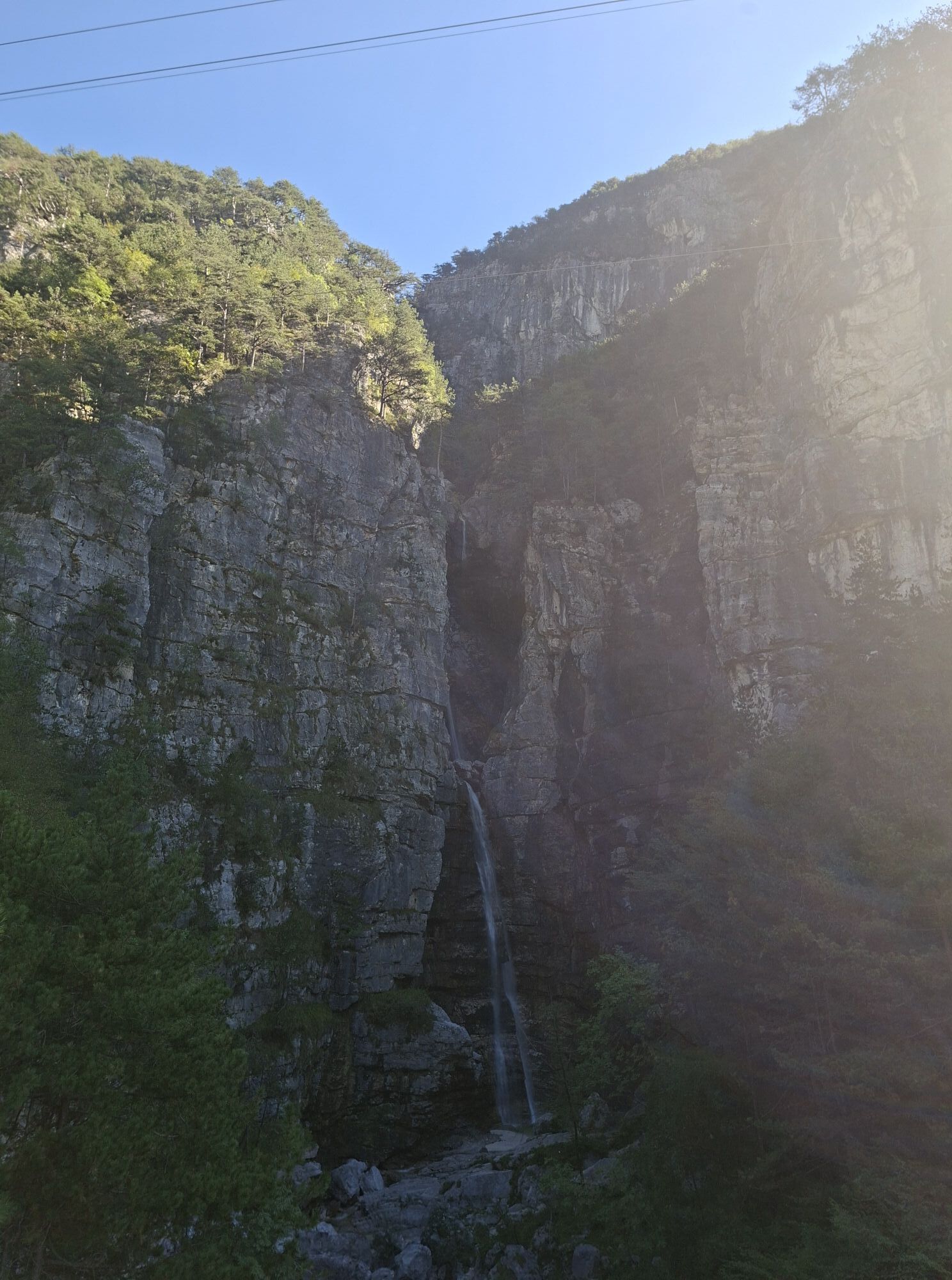
Cascata Rio Belepeit
(382 m)
Wodospad
131,3 km
Villanova / Vilegnove
(368 m)
Rozliczenie
131,3 km
Casasola / Cjasesole
(375 m)
Wioska
132,1 km
Campolaro / Cjampolâr
(382 m)
Rozliczenie
132,6 km
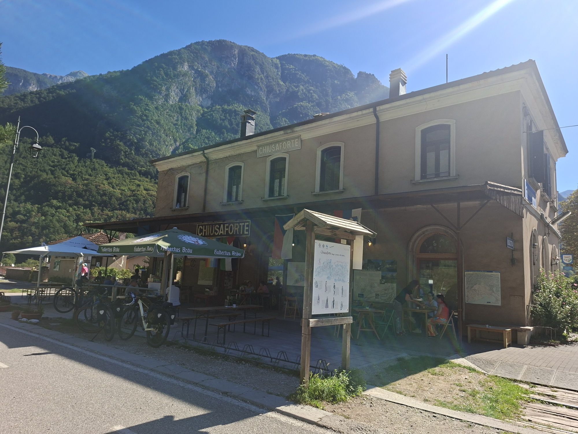
Chiusaforte / Scluse
(390 m)
Wioska
132,7 km
Trattoria F.lli Martina
(383 m)
Restauracja
132,8 km
Stazione di Chiusaforte
(388 m)
Restauracja
132,9 km
Raccolana / Racolane
(380 m)
Wioska
133,0 km
Porto / Puart
(437 m)
Rozliczenie
137,1 km
Balador
(426 m)
Rozliczenie
137,6 km
Dogna / Dogne
(424 m)
Wioska
137,7 km
Chiout Martin / Cjù Martin
(470 m)
Rozliczenie
138,5 km
Villaggio Krivaja
(435 m)
Rozliczenie
138,8 km
Saletto / Salet
(467 m)
Rozliczenie
140,0 km
Casello
(516 m)
Korytarz/teren
141,9 km
Albergo Caffè Vecchio
(558 m)
Restauracja
145,4 km
Villaggio Gastronomico
(559 m)
Restauracja
145,5 km
Pontebba / Pontafel / Ponteibe
(560 m)
Wioska
145,6 km
Pontebba
(563 m)
Stacja kolejowa
145,8 km
San Leopoldo Laglesie / La Glesie / Leopoldskirchen / Lipalja vas
(602 m)
Rozliczenie
148,9 km
Ombrico
(683 m)
Korytarz/teren
154,3 km
Malborghetto / Malborgeth / Naborjet / Malborghet
(718 m)
Wioska
156,5 km
Ugovizza / Ukve / Uggowitz / Ugovize
(776 m)
Wioska
159,1 km
Alla Vecchia Stazione
(770 m)
Restauracja
159,3 km
Il Ristorantino
(795 m)
Restauracja
162,4 km
Papillo
(795 m)
Restauracja
162,5 km
Camporosso / Saifnitz / Žabnice / Cjamparos
(805 m)
Wioska
164,4 km
Tarvisio / Tarvis / Trbiž
(751 m)
Miasto
168,2 km
Coccau / Goggau / Kokova / Cocau
(720 m)
Wioska
172,4 km
Coccau di Sotto / Untergoggau / Dolnja Kokova / Cocau Disot
(718 m)
Rozliczenie
173,1 km
Ex Posta
(706 m)
Restauracja
174,3 km
Unterthörl
(668 m)
Wioska
176,3 km
Informacje o wycieczce

The Alpe Adria Bike Trail is a well-known route that stretches from the Alps to the sea. This itinerary takes you on a journey to discover small towns and natural beauty through a multi-stage bike ride from the sea to the mountains.

Technologia
3 / 6
Stan
4 / 6
Krajobraz
5 / 6
Doświadczenie
5 / 6
Najlepsza pora roku
Sty
Lut
Mar
Kwi
Maj
Cze
Lip
Sie
Wrz
Paź
Lis
Gru
Udostępnij trasę
Mapa
FVG1 Alpe Adria Cycle Route (CR100) from Grado to Tarvisio
średni
Kolarstwo długodystansowe
176,35 km
Błąd
Wystąpił błąd. Spróbuj ponownie.
Informacje o trasie
Trasa
From Grado northward through Aquileia, Cervignano del Friuli, Palmanova, Pavia di Udine, Pradamano, Udine, Tavagnacco, Buja, Artegna, Gemona del Friuli, Venzone, Resiutta, Pontebba, Malborghetto, and Tarvisio.
Along the route, you’ll cross the following bike paths:

- In Palmanova, you can ride along the Friuli FVG7 bike path toward Codroipo and then Gemona del Friuli
- In Udine, you can ride along the FVG4 Plains Bike Path toward Cividale del Friuli or Codroipo (Villa Manin)

- In Gemona del Friuli, you’ll come across the following bike paths to enhance your cycling trip:

FVG7 to return to Palmanova with a ride through the heart of rural Friuli

FVG3 to reach Gorizia / Nova Gorica (Slovenia) heading east, or Maniago and Sacile heading west.
FVG6 to reach Lignano Sabbiadoro via Spilimbergo and San Vito al Tagliamento heading south, along the right bank of the Tagliamento River

FVG 6/a to also reach Lignano Sabbiadoro along the left bank of the Tagliamento River via San Daniele del Friuli and Codroipo.

Instrukcje bezpieczeństwa

From Venzone to the hamlet of Carnia, you’ll cycle for about 2 kilometers on a regional road with a wide shoulder.

Informacje o przyjeździe
Przybycie

Grado: A4 Turin–Trieste, Palmanova exit. Follow SR352 toward Grado.

Transport publiczny
Intermodal transportation with bicycles in tow:

The Alpe Adria bike route is very well served by intermodal transportation, both by train (Trenitalia and MICOTRA) and by bus.

TheGrado-Udine section is served by the BiciBus, a coach towing an enclosed trailer for 40 bicycles, which operates in the spring and summer on the Udine-Palmanova-Aquileia-Grado route with several trips on weekends; in July and August, service runs daily.

From September 28 to December 11, 2026, there will be schedule changes for the MICOTRA train, which offers bike-train service. For information and train schedules, visit https://www.ferrovieudinecividale.it/orari-micotra-udine-villach-trieste/

The MICOTRA train is a special international and intermodal service between Udine and Villach (A) and can carry over 70 bicycles in dedicated cars (reservations required). It operates two round-trip services daily and, in the summer, extends its route to Gorizia and Trieste.

Free reservations are required for the Mi.Co.Tra Udine / Trieste–Villach train. Starting in 2024, reservations for bicycles and the simultaneous purchase of a bike ticket will be mandatory, exclusively through the website https://www.obb-italia.com/it/ or via the app. Exclusively for routes in Friuli Venezia Giulia, please note that to book a bicycle, you must deselect the passenger—who is automatically added by the system—and select only the bicycle. The bicycle fare is €1.70 in Friuli-Venezia Giulia and is valid per trip, not on a daily basis.

Parking

In Tarvisio, Venzone, Gemona del Friuli, Udine, and Palmanova, near the train station. In Grado, at Piazzale Azzurri d'Italia.

Dodatkowe informacje i wskazówki
Poziom trudności

3

Dodatkowe informacje

Route type: A flat, linear route at the start that then climbs gently and steadily, with few cycling challenges. Most of the route follows bike paths or secondary paved roads with no traffic; several sections are on well-maintained dirt roads. This route differs from the official one only within the larger towns due to one-way streets.

Wskazówki

Thanks to the bike-train service, you can easily return to your lodging from Udine, Palmanova, Gemona, and Cervignano del Friuli

Wędrówki i tropienie

Wędrówki i tropienie

Pobierz dla iOSPobierz dla systemu Android
Wędrówki i tropienie
Ponad 550.000 propozycji wycieczek, szczegółowe mapy i intuicyjny planer tras sprawiają, że aplikacja jest niezbędna dla wszystkich entuzjastów przyrody.
bergfex