


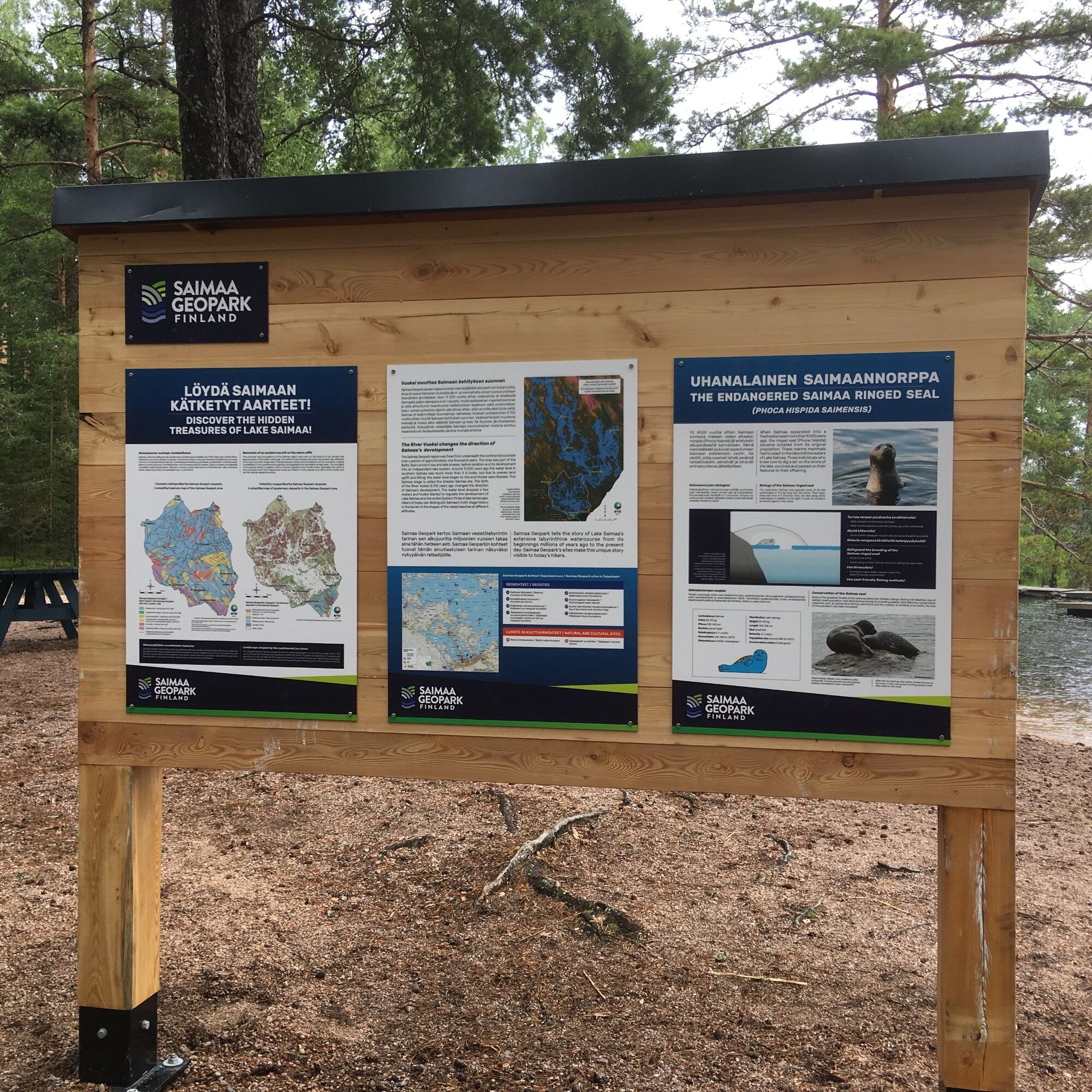
Geological trail on a Ilkonsaari island


The Ilkonsaari island consists of two rocky ridges running southeast-northwest which are divided by a bedrock fracture zone weathered deeper than the surrounding environment. Rocky ridges are connected...
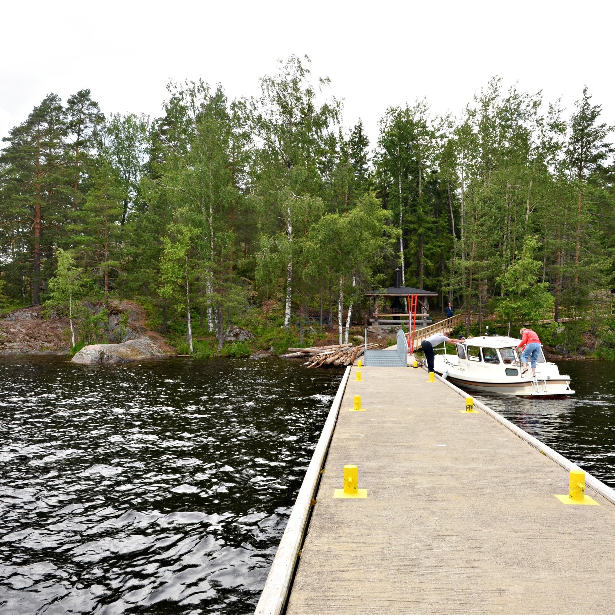
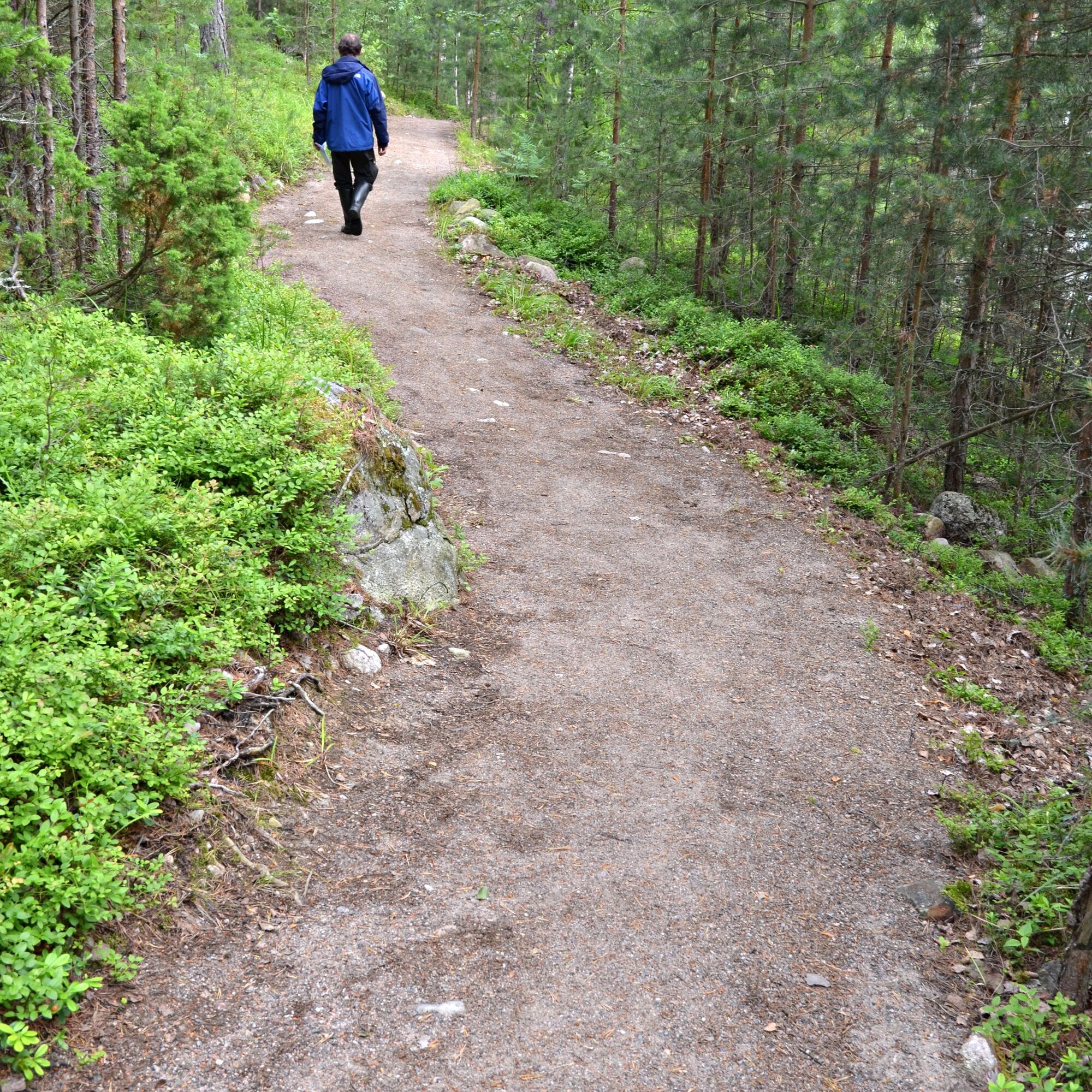
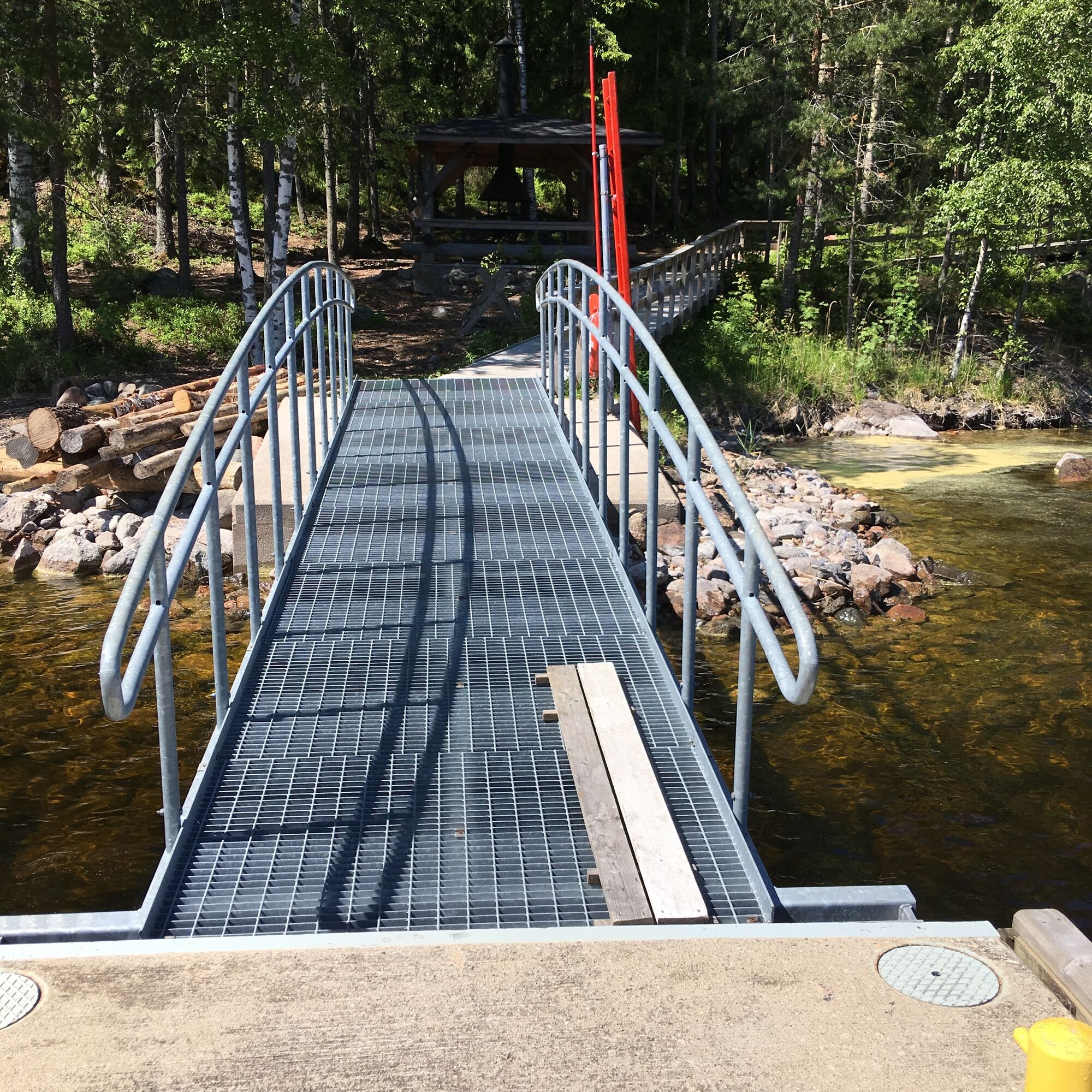
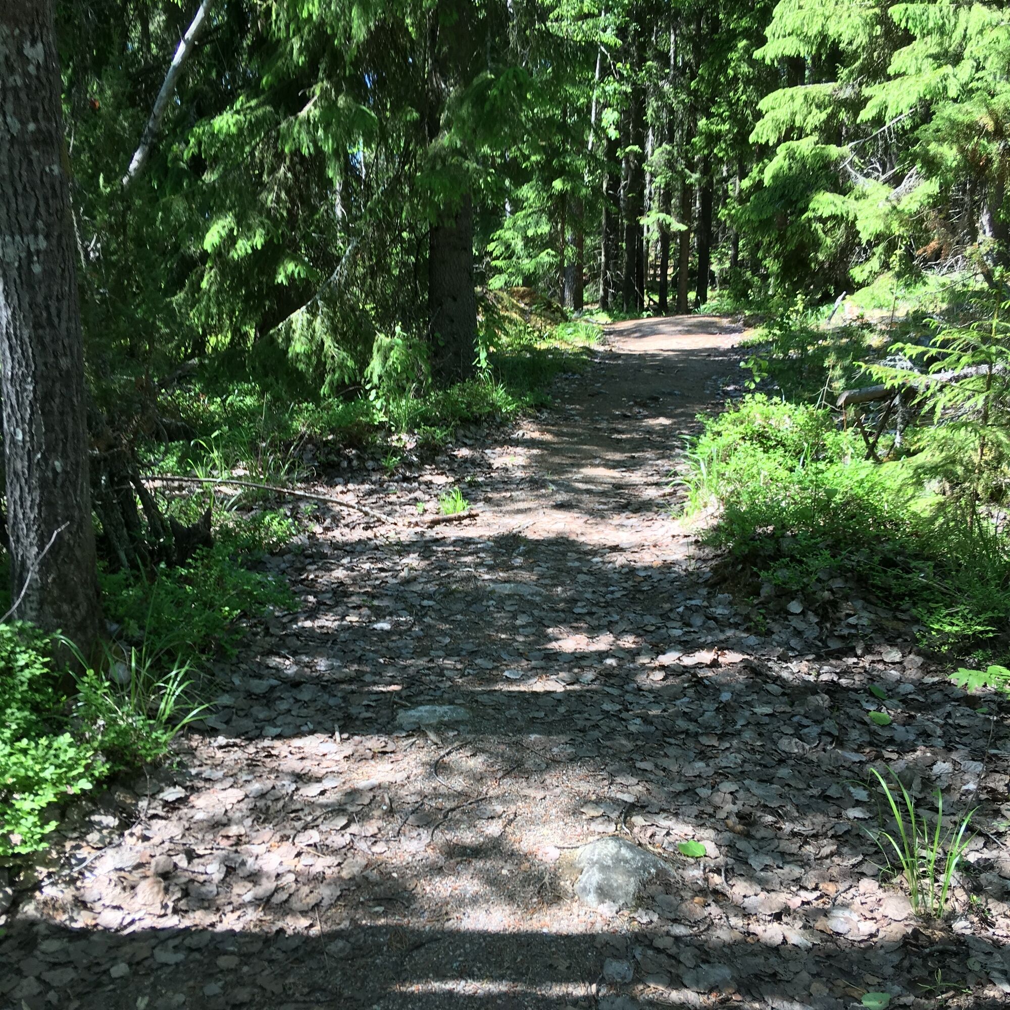
The Ilkonsaari island consists of two rocky ridges running southeast-northwest which are divided by a bedrock fracture zone weathered deeper than the surrounding environment. Rocky ridges are connected by a narrow land bridge. A stone ash paved path passes through Ilkonsaari. Due to the rocky terrain, there are steep climbs and descent. There are signposts for the Saimaa Geopark near both boat docks on the island.
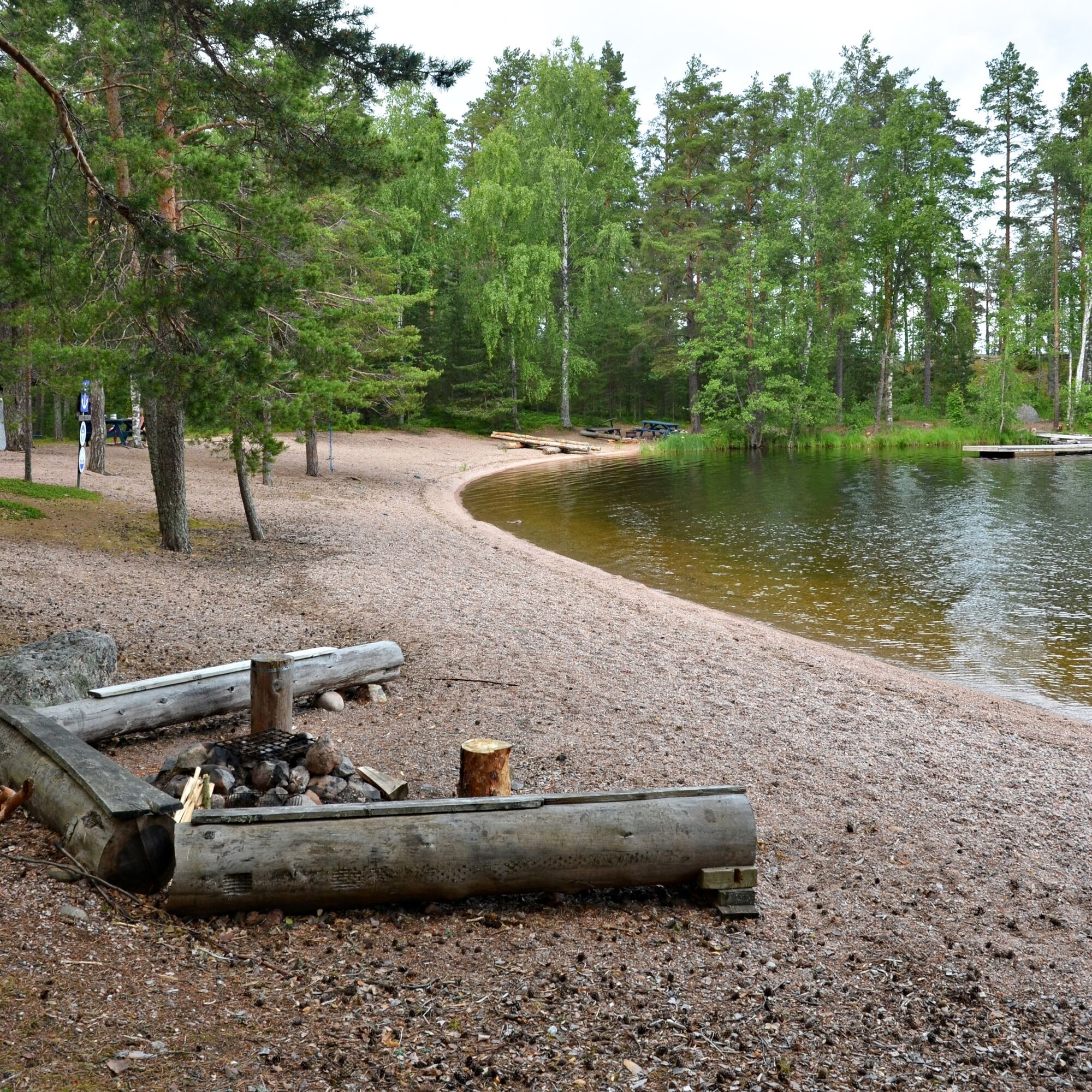
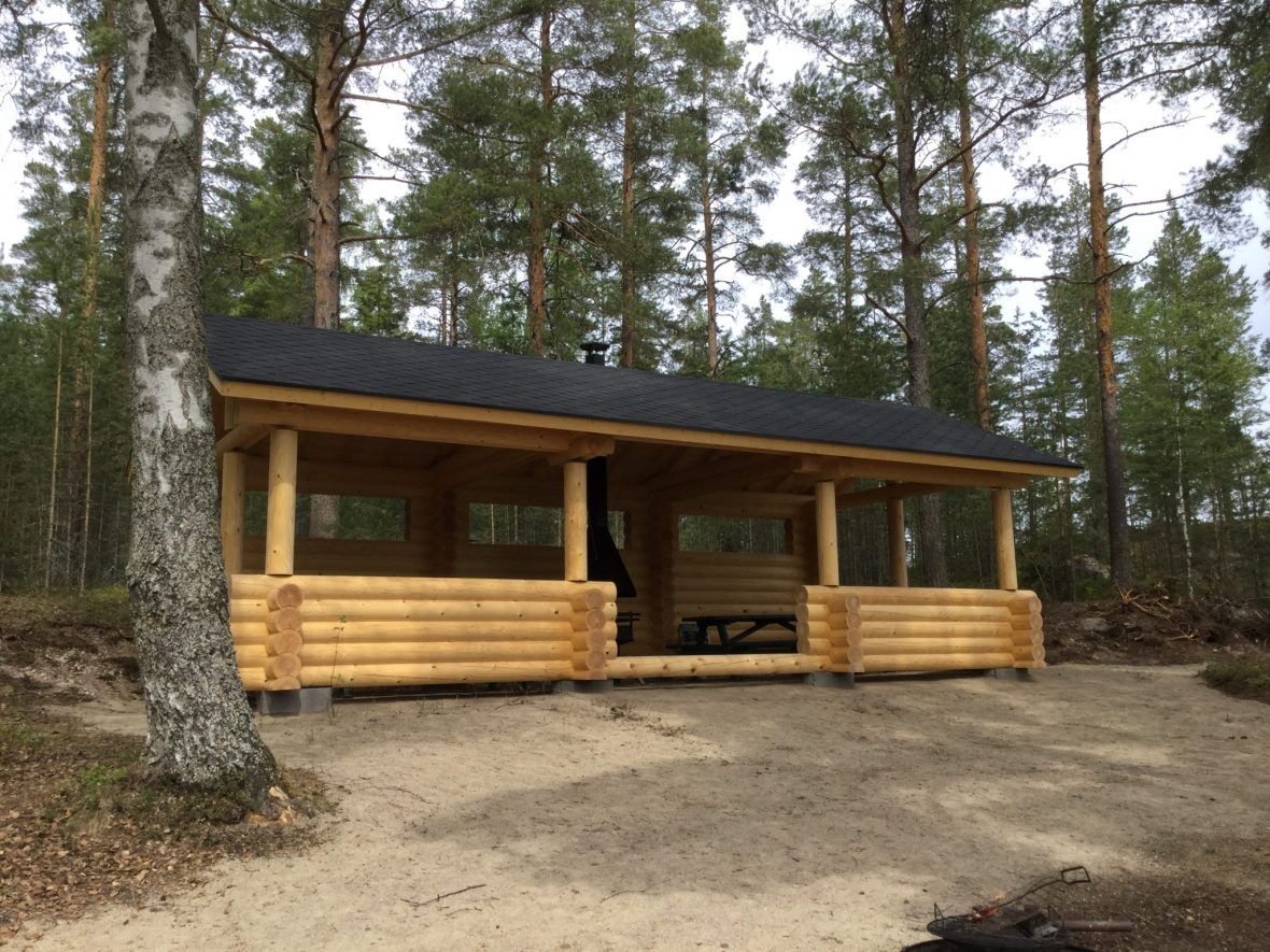
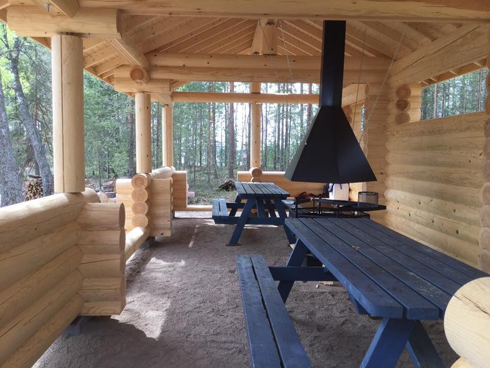
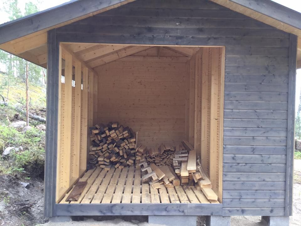
Privy, canooing, campfireplace, viewing point, waste disposal, beach, boating
Saimaa Geopark sign in Ilkonsaari (pdf)
Ilkonsaari on Saimaa Geopark website

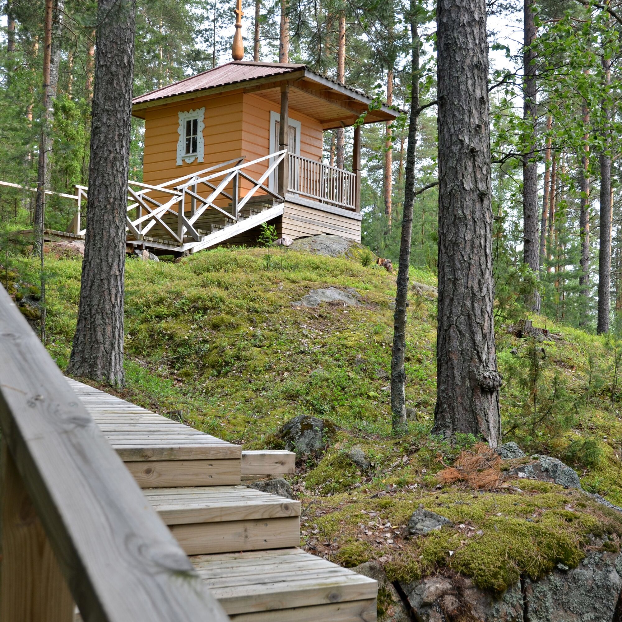
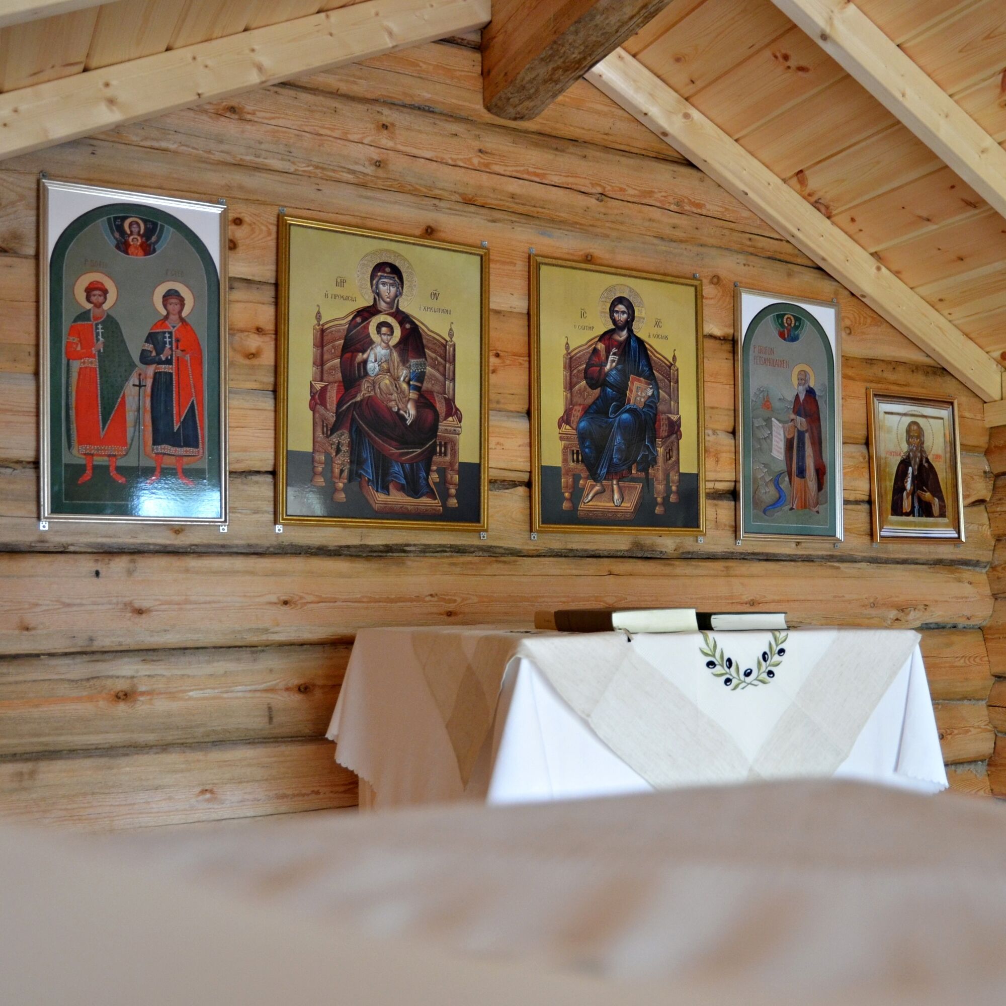
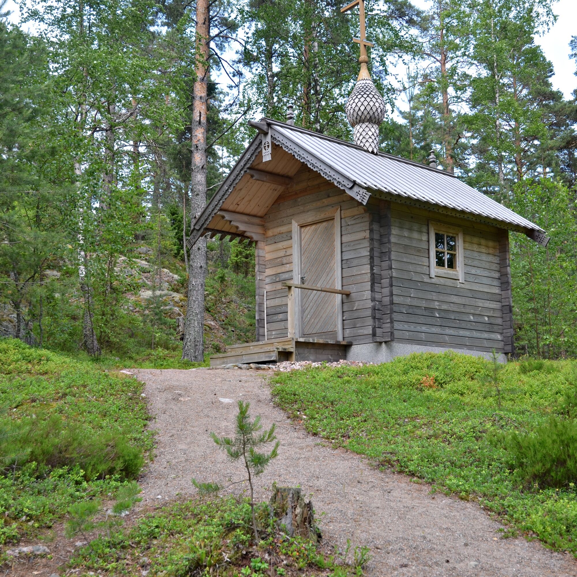
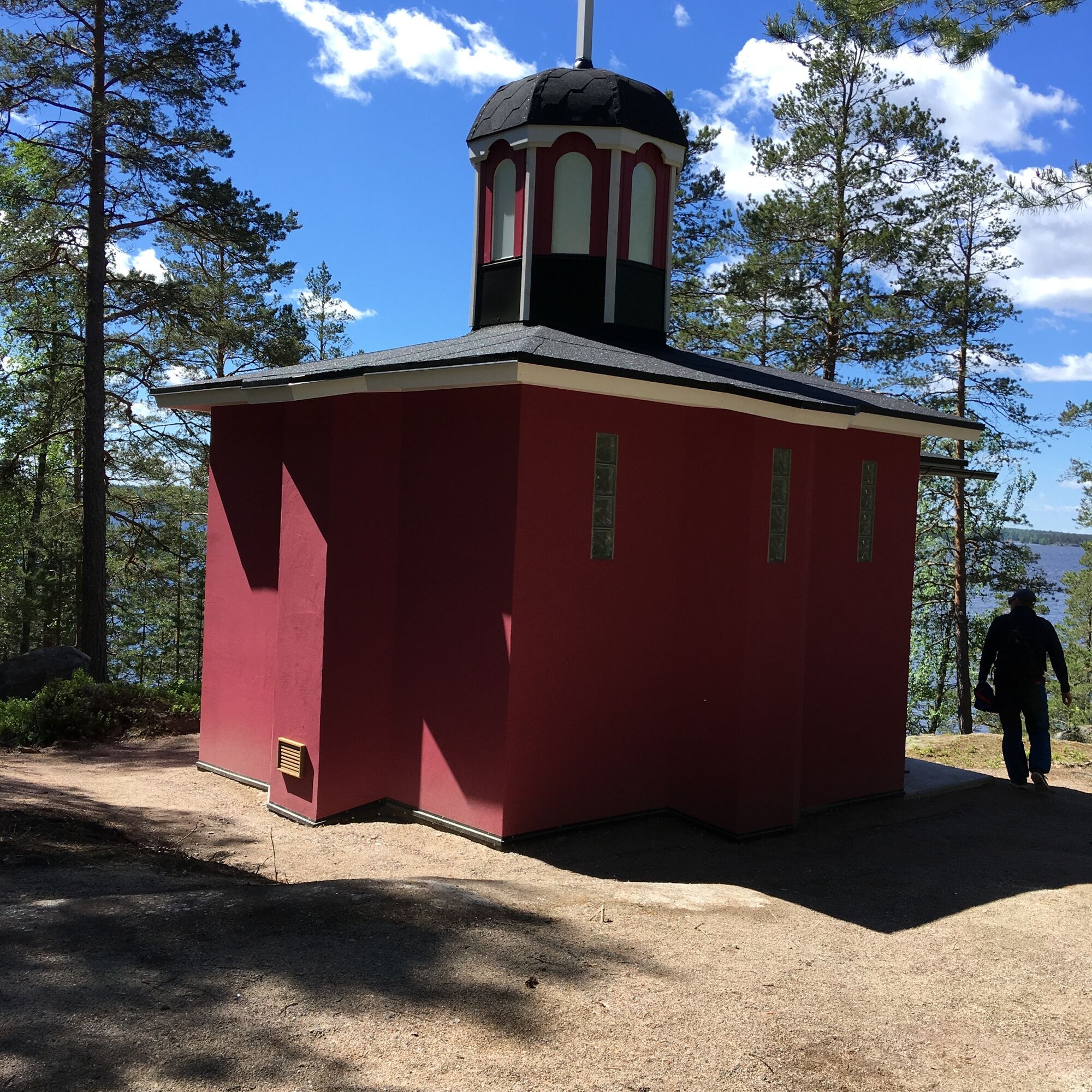
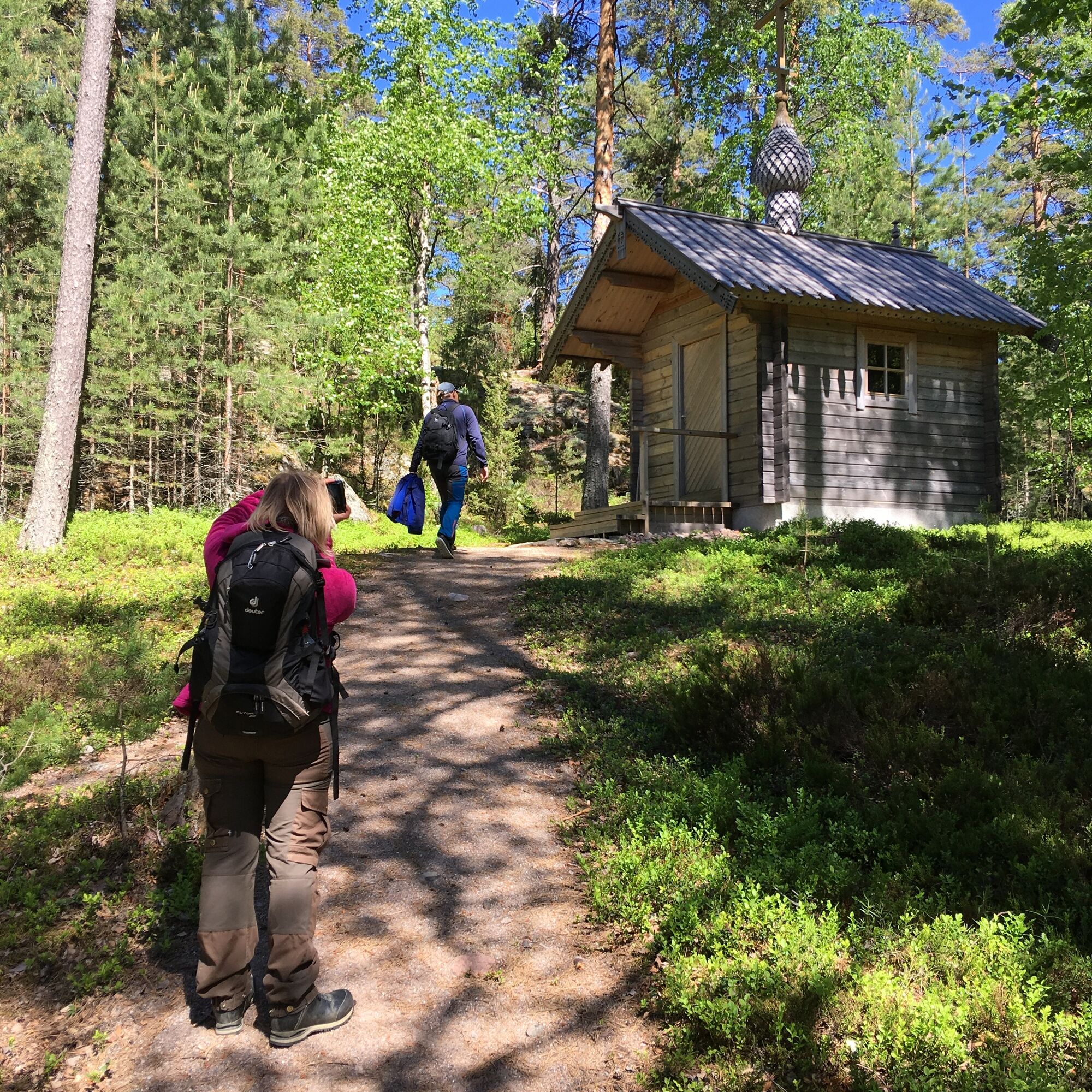
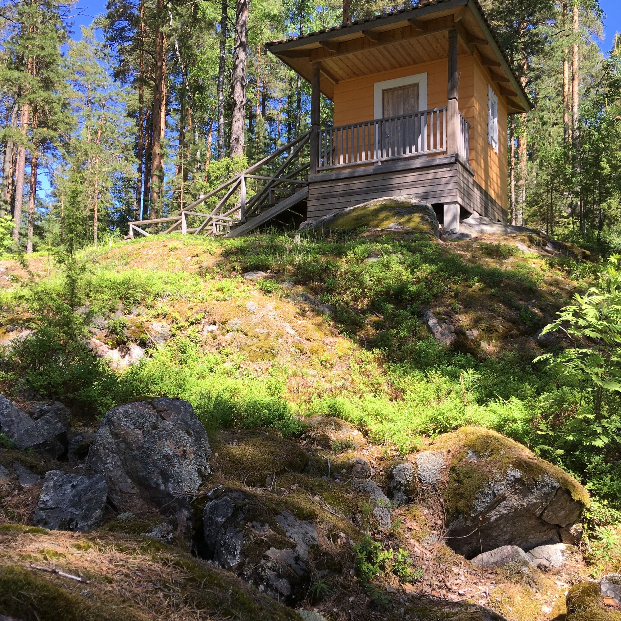
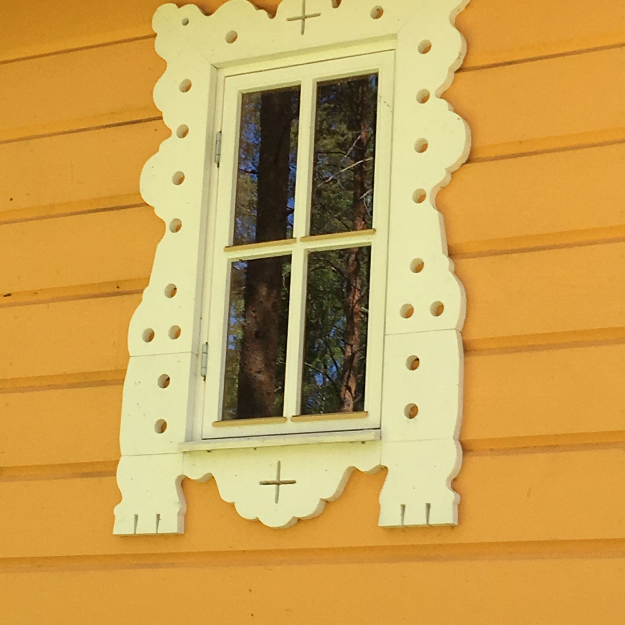
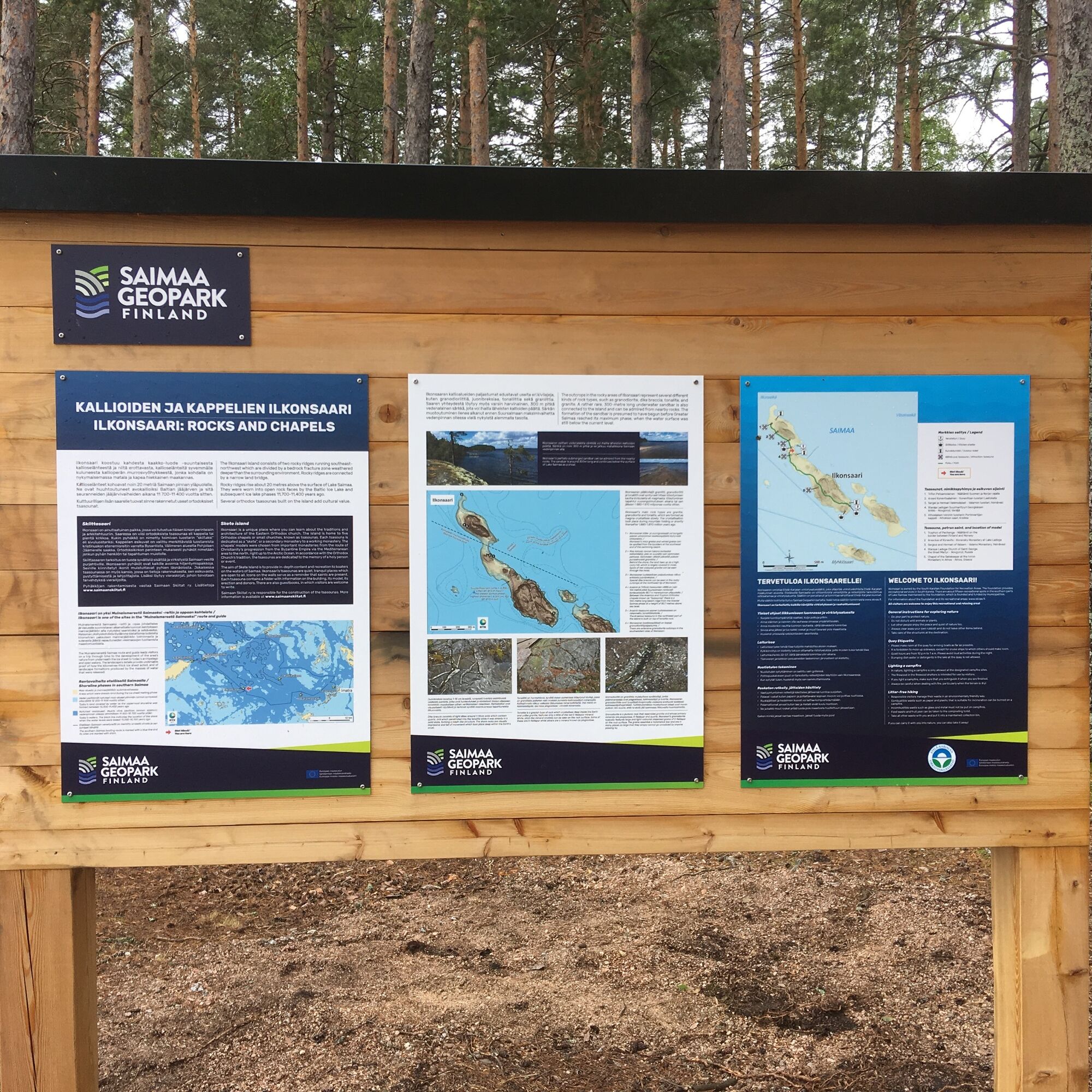
The Ilkonsaari path is an in and out trail and runs from the pier at the southern tip of the island to the northern part of the island. Along the way, there are five Orthodox tsasounas, chapels or small churches. Each tsasouna is dedicated as a “skete”, or a secondary monastery to a working monastery. The chapels’ models were chosen from important monasteries from the route of Christianity’s progression from the Byzantine Empire via the Mediterranean area to the north, right up to the Arctic Ocean. In accordance with the Orthodox Church’s tradition, the tsasounas are dedicated to the memory of a holy person or event.
There is also geological sights along the path. In the southern part of the island there are extensive granodiorite outcrops at the beginning of the path. Granodiorite is a plutonic rock that resembles granite and whose primary minerals are plagioclase, potassium feldspar and quartz. Ilkonsaari’s granodiorite typically features large and light-coloured dispersed grains of potassium feldspar on the rock surface. The grains resemble a matchstick box and are in many places so large that they simply cannot go unnoticed by anyone passing by.
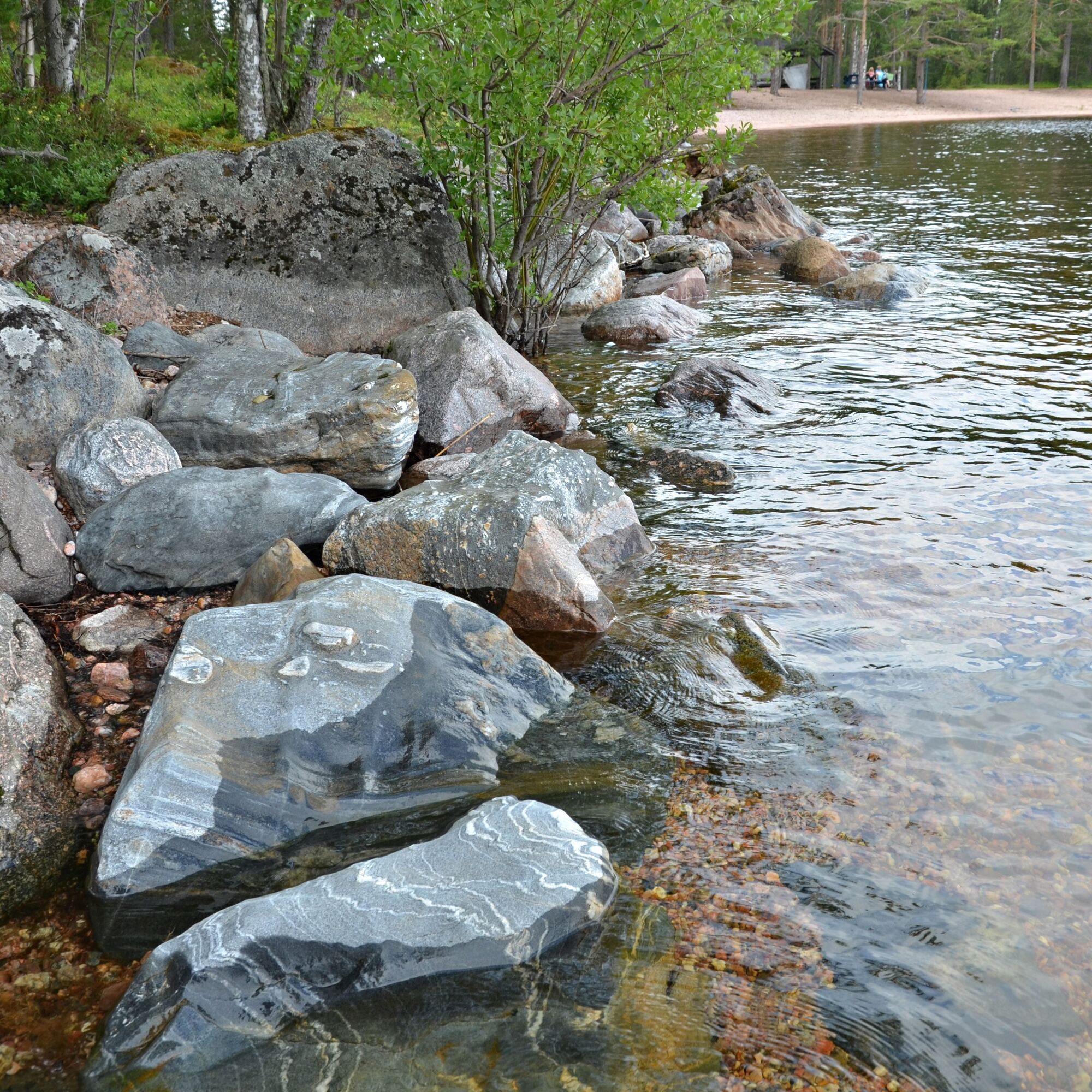
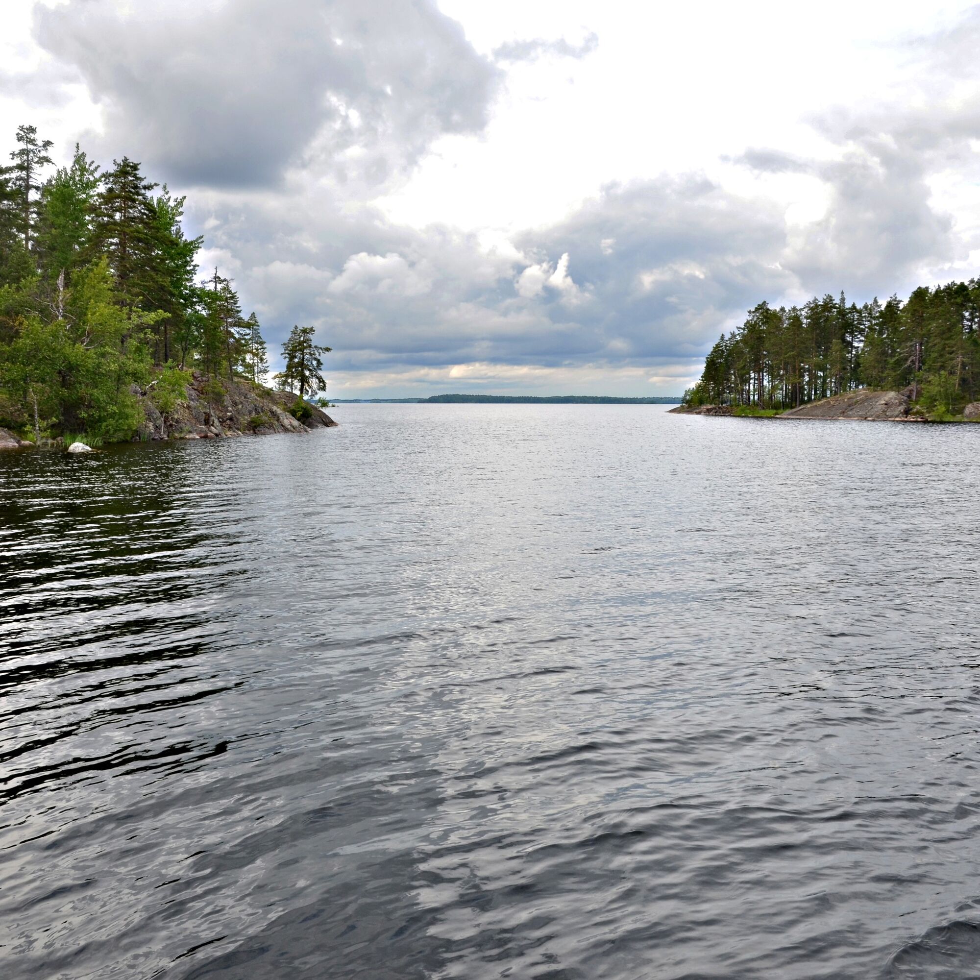
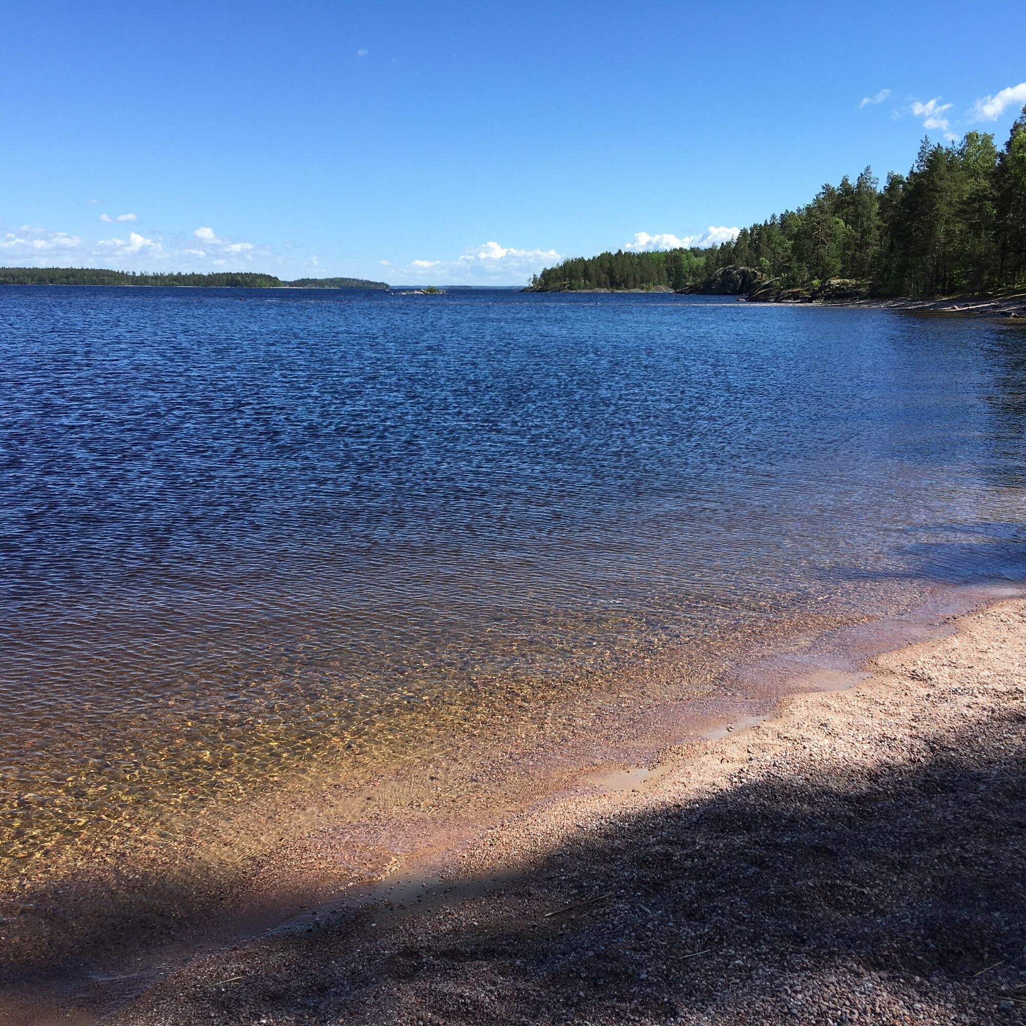
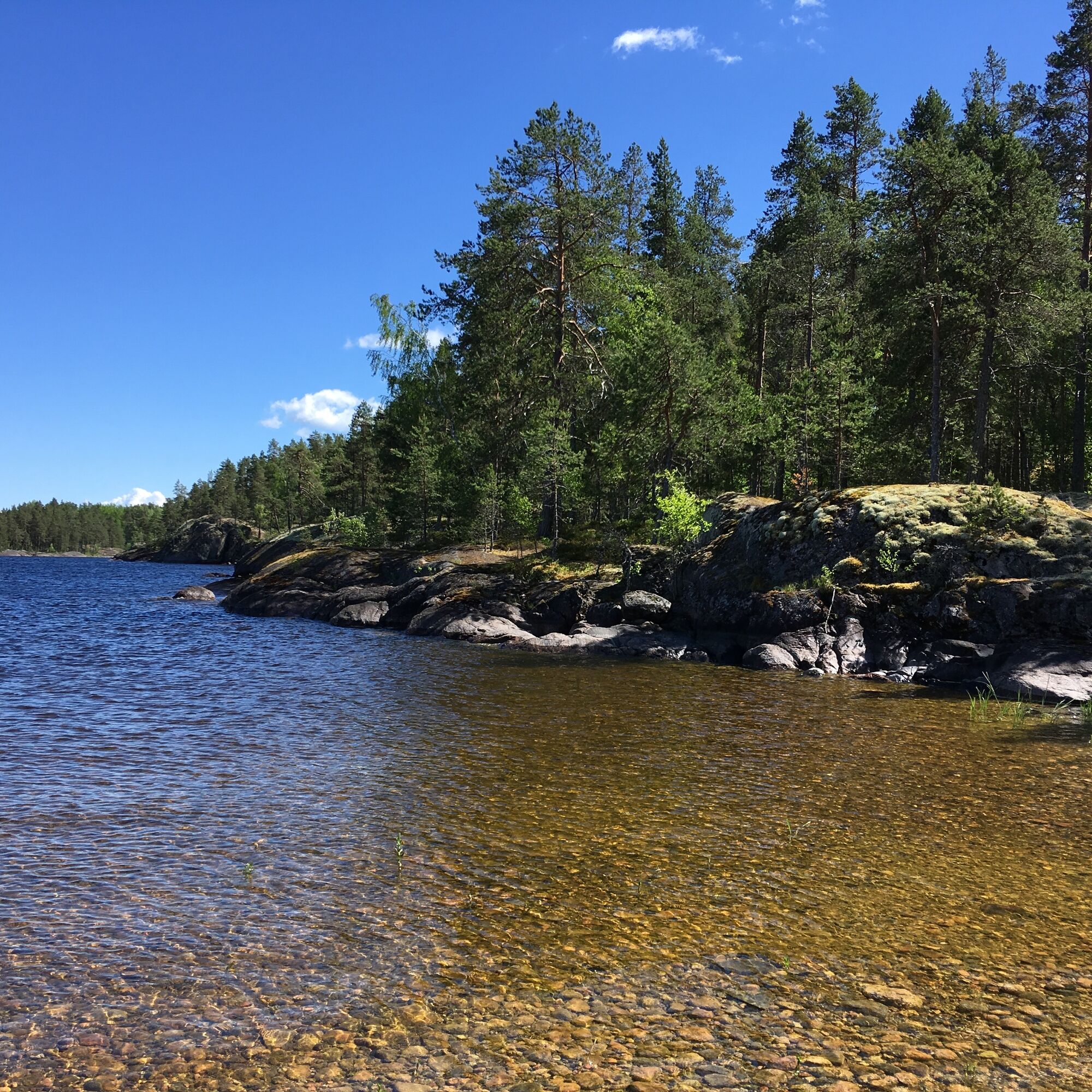
At the beginning of the trail there is a spruce forest with rocky ridges and depressions, as well as one deeper bedrock fracture zone. The first tsasouna, Chapel of the Gatekeeper at the Iviron Monastery in Athos, is located on the granodiorite cliffs, which descend down to the ancient beach formed about 6,300 years ago on the Greater Saimaa. The path continues along the west coast of the island, reaching the next tsasouna, Staraya Ladoga Church of Saint George, the Great Martyr. After that, the sandy beach formed in the bedrock fracture zone begins, where you will find a signpost for the Saimaa Geopark, a campfire shelter, a dry toilet and another boat dock on the island. The sandy beach curves to the lake in the form of a long sandbar that continues below the surface of Lake Saimaa as a shoal. The sandbar can be admired from nearby rocks.
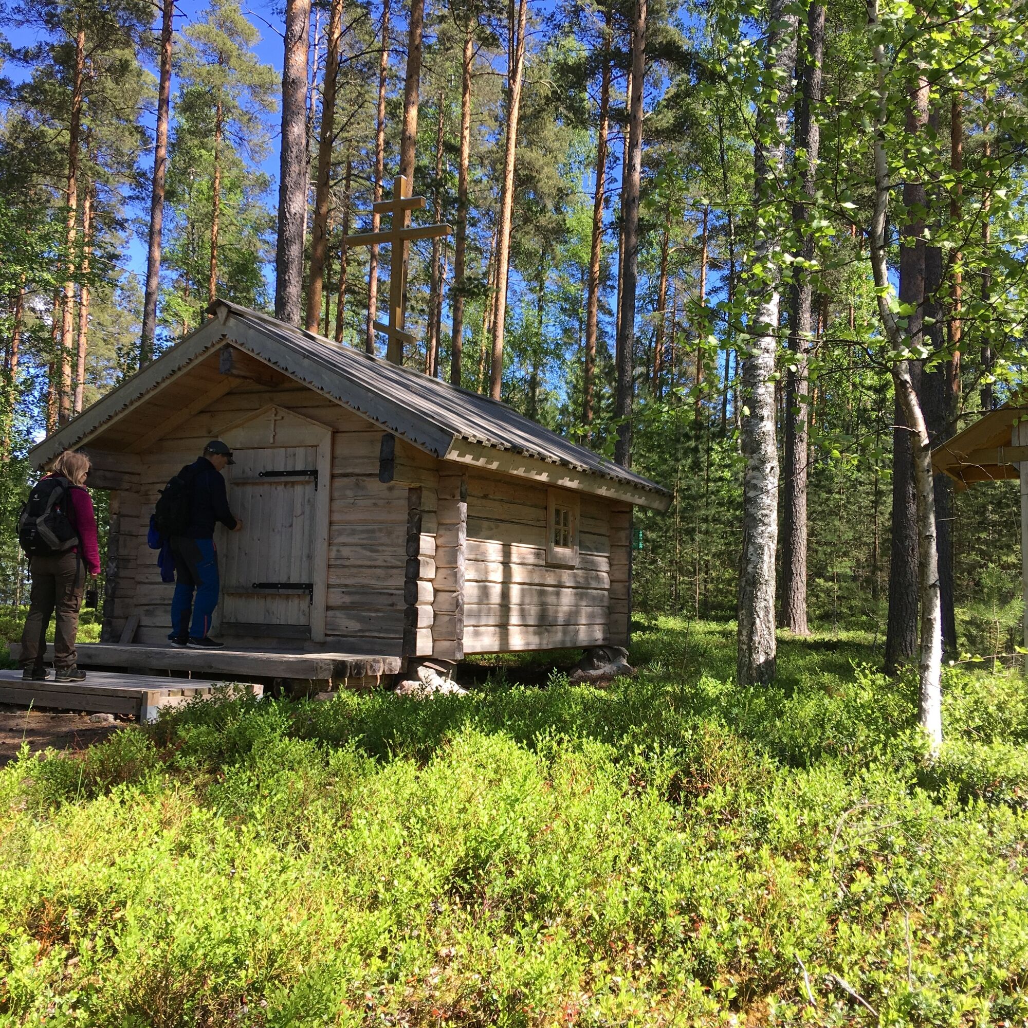
Behind the beach, the land rises up as a high, rocky hill, which is largely covered in moss. Spots of red-coloured granite can be seen through the moss. Mica gneiss and veined gneiss, on the other hand, can be spotted from the boulders at the southeast end of the beach. After the sandy beach, the trail continues towards the northern part of the island. First up is Sergius and Herman of Valaam tsasouna, from where the journey continues to Arsenius of Konevits tsasouna. It is built on top of tonalite rock. Tonalite is a greyish type of rock which crystallises deep inside the Earth and unlike granite, features only a little of the red potassium feldspar mineral. White, stick-like mineral crystals can be seen on the rock surface. Some of these are potassium feldspar while others are a mineral known as plagioclase.
The path ends at the Tryphon of Pechenga tsasouna. Between the Arsenius and Tryphon tsasounas, there is a 100-metre long beach ridge from the Greater Saimaa phase, which was created thousands of years ago when the Saimaa’s water level was higher. From the Tryphon tsasouna, it is a worthwhile to take a look to the cliffs of the northern tip of the island, which features special dike breccia. Dike breccia consists of light dikes around 1-10cm wide which contain quartz, and which penetrated into the tonalite while it was already in a solid state, forming a mesh-like structure. The shore rocks are visually impressive and tell of movement which took place deep within the Earth’s crust.
Tak
Tak
As you walk along the path, wear sturdy shoes and dress according to the weather. Take enough drinks with you.
You can reach Ilkonsaari by boat.
Ilkonsaari has two docks, at the southeastern end of the island and on the eastern shore.
Ilkonsaari on the website of the South Karelian foundation for recreation areas
Ilkosaari is one destination in the From Ancient Sea to Saimaa trail (pdf)
A rather rare, 300-metre long underwater sandbar is also connected to the island and can be admired from nearby rocks.
Popularne wycieczki w okolicy
- 5,0
Taipalsaari scenic cycling route
średniJazda na rowerze42,7 km Pöyhiänniemi Nature Trail
średniTrasa tematyczna2,97 kmKuivaketvele Tour, Taipalsaari - Lappeenranta
średniKajak / Canoe29,6 kmMikonsaari nature trail, Lappeenranta
średniTrasa tematyczna2,03 kmSaimaa Archipelago route
średniJazda na rowerze156,3 kmMuukonsaari nature trail, Lappeenranta
średniTrasa tematyczna0,64 kmUkonmäki nature trail, Lappeenranta
średniTrasa tematyczna0,95 kmA geological guide to southern Lake Saimaa
średniTrasa tematyczna117,1 kmTrip harbors paddling route, Lappeenranta - Imatra
ciężkiKajak / Canoe42,5 kmHirvisaari route, Lappeenranta
średniKajak / Canoe24,0 km
Wędrówki i tropienie


Nie przegap ofert i inspiracji na następne wakacje
Twój adres e-mail została dodana do listy mailingowej.