Nawigacja
Pobierz tę trasę na swój telefon komórkowy
Mapa
CycloRoute71 - Etape 4 de Louhans à Verdun-Ciel

średni
Jazda na rowerze
75,48 km
Zeskanuj kod QR i rozpocznij nawigację w aplikacji bergfex.
QR Code
Wędrówki i tropienie
Pobierz dla iOS
Pobierz dla systemu Android

CycloRoute71 - Etape 4 de Louhans à Verdun-Ciel

średni
Jazda na rowerze
Odległość
75,5 km
Czas trwania
03:53 h
Ascent
250 hm
Poziom morza
175 - 213 m

Poziom trudności: 3

Ścieżka do pobrania
Mapa
CycloRoute71 - Etape 4 de Louhans à Verdun-Ciel
średni
Jazda na rowerze
75,48 km

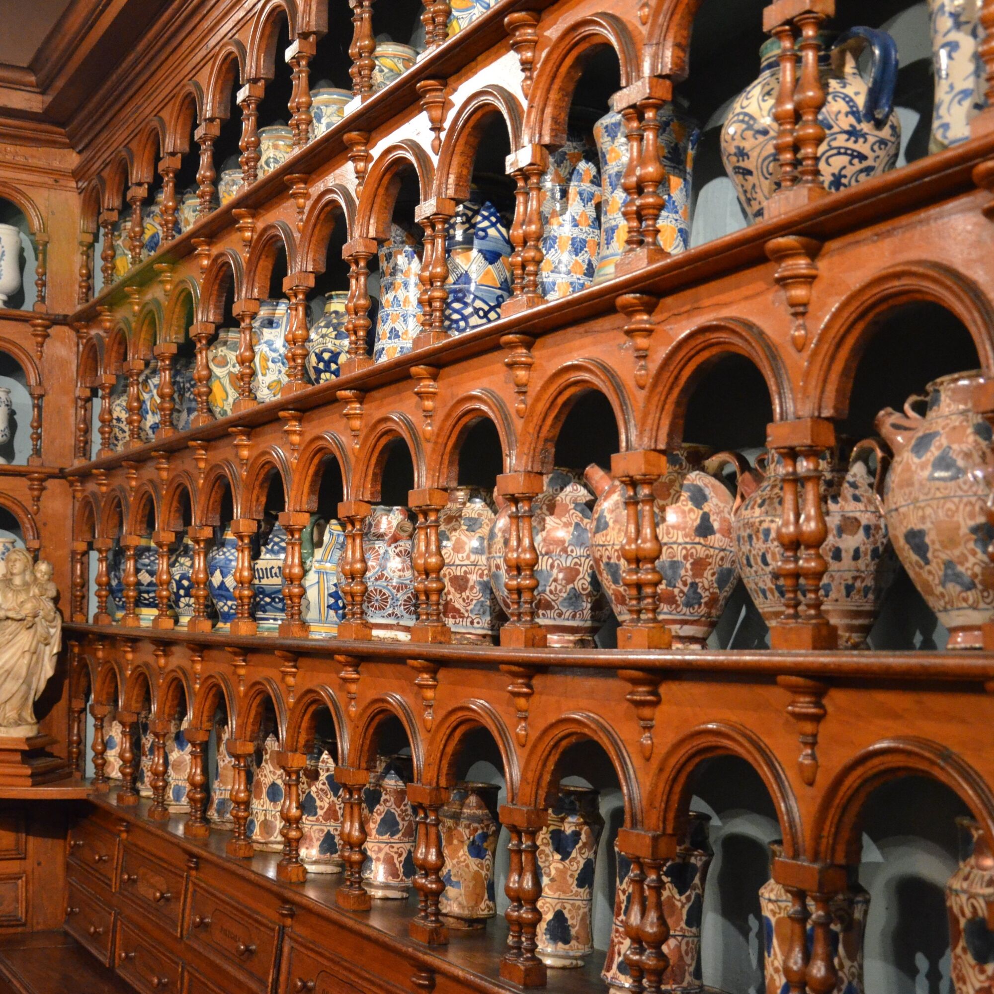
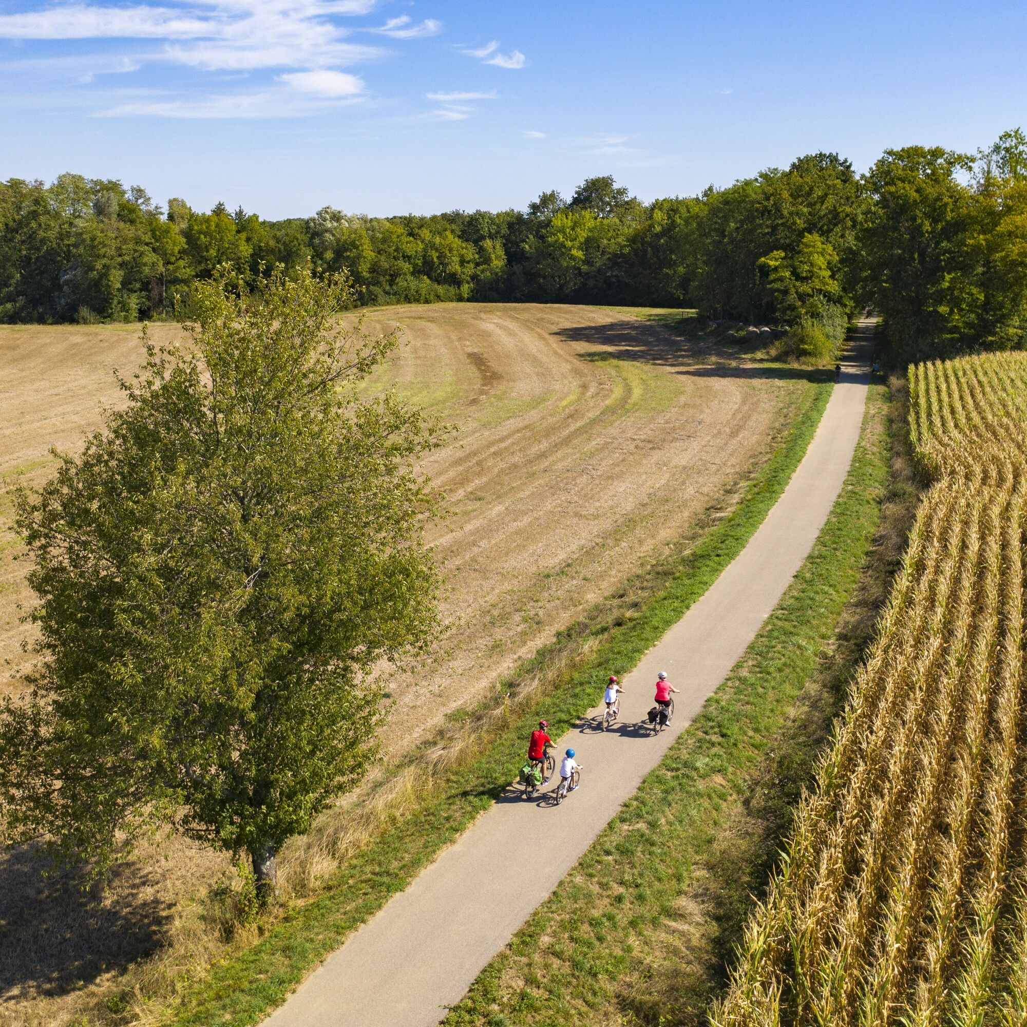
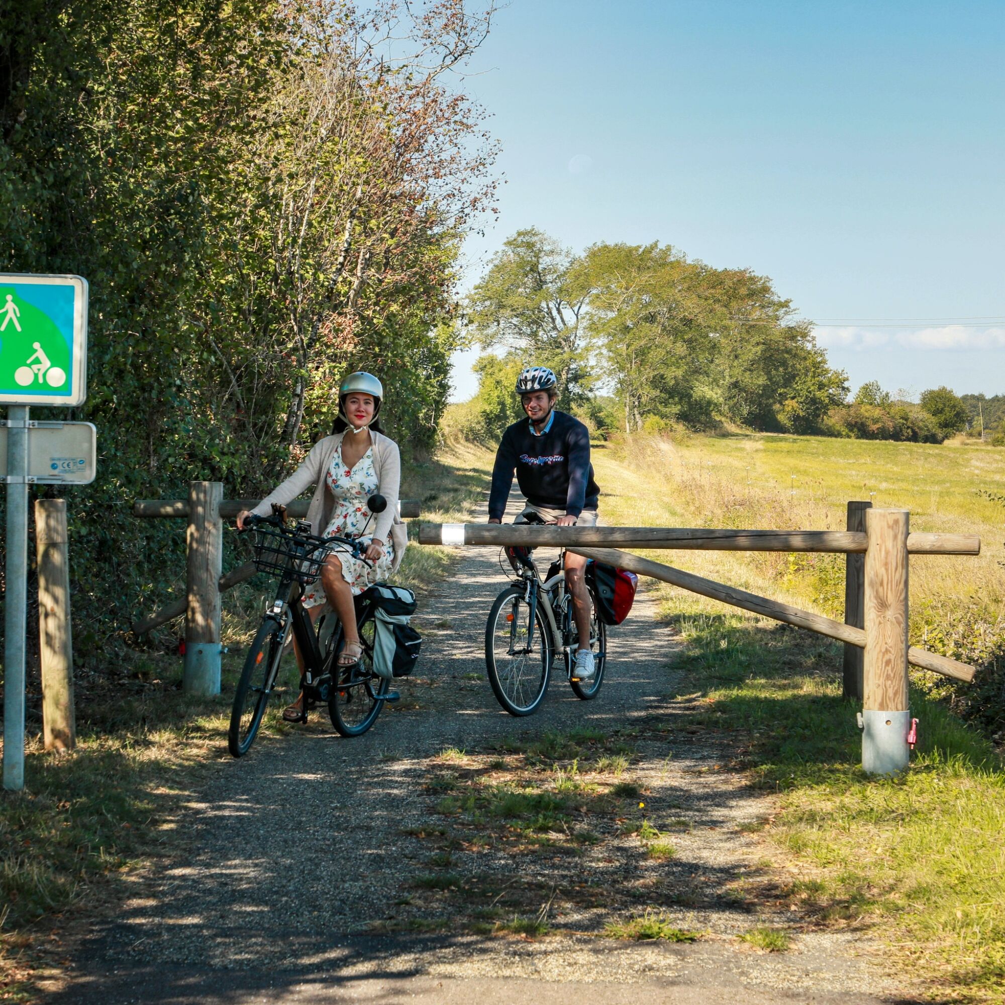
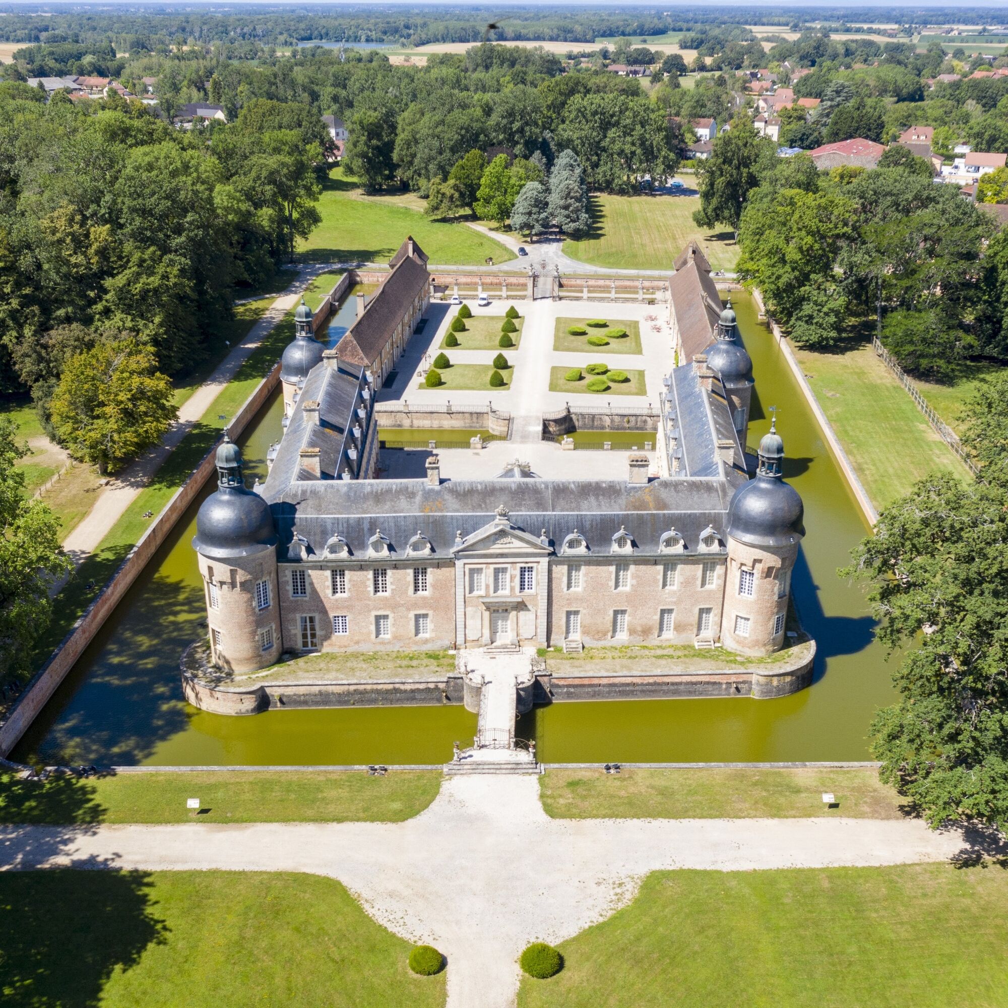
This fourth stage of the easy CycloRoute71 takes you through the heart of the ponds of the Bresse region of Burgundy, allowing you to discover its typical habitat as well as some of its heritage sites....

Opis

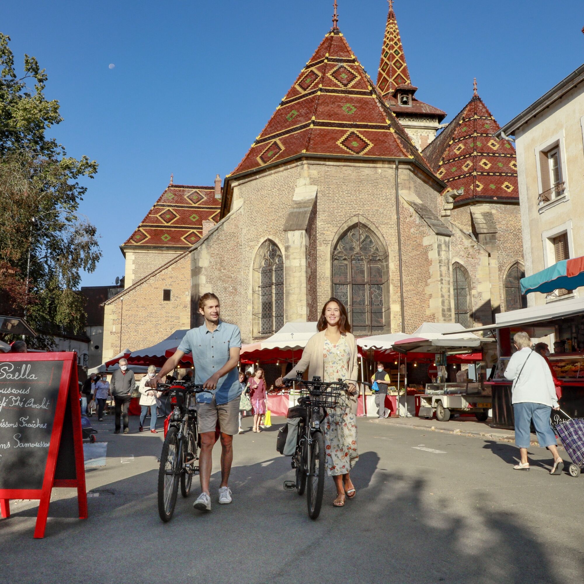
This fourth stage of the easy CycloRoute71 takes you through the heart of the ponds of the Bresse region of Burgundy, allowing you to discover its typical habitat as well as some of its heritage sites. Along the way, you'll be able to admire the foothills of the Revermont and Jura mountains. You can find the detailed route book for the 12 stages of the CycloRoute71 in the "our brochures" section.

Trasa
Église Saint-Laurent
(200 m)
Miejsce kultu
0,5 km
Église Saint-Eusèbe
(201 m)
Miejsce kultu
10,2 km
Saint-Usuge
(202 m)
Wioska
10,3 km
Église Saint-Pierre
(201 m)
Miejsce kultu
28,6 km
Les Pernards
(204 m)
Rozliczenie
37,0 km
Église Saint-Étienne
(181 m)
Miejsce kultu
55,8 km
Église Saint-Jean-Baptiste
(180 m)
Miejsce kultu
75,2 km
Trasa
Mapa
CycloRoute71 - Etape 4 de Louhans à Verdun-Ciel
średni
Jazda na rowerze
75,48 km
L'Écotet
(179 m)
Rozliczenie
0,0 km
Louhans-Châteaurenaud
(182 m)
Miasto
0,0 km
Châteaurenaud
(201 m)
Sąsiedztwo
0,4 km
Église Saint-Laurent
(200 m)
Miejsce kultu
0,5 km
Les Ripettes
(196 m)
Rozliczenie
1,2 km
Seugny
(191 m)
Rozliczenie
1,9 km
Les Crues
(202 m)
Sąsiedztwo
4,5 km
Bas de Montagny
(188 m)
Rozliczenie
4,9 km
Les Feys
(198 m)
Rozliczenie
5,0 km
Le Rustique
(198 m)
Restauracja
5,5 km
Montagny-près-Louhans
(197 m)
Wioska
5,6 km
Église Saint-Étienne
(200 m)
Miejsce kultu
5,6 km
Les Vessières
(204 m)
Rozliczenie
6,6 km
La Ferrière
(204 m)
Rozliczenie
7,9 km
Les Varennes
(192 m)
Rozliczenie
8,8 km
Église Saint-Eusèbe
(201 m)
Miejsce kultu
10,2 km
Saint-Usuge
(202 m)
Wioska
10,3 km
La Tucelle
(207 m)
Rozliczenie
16,4 km
Grande Commune
(206 m)
Rozliczenie
17,8 km
La Croix Blanche
(209 m)
Rozliczenie
19,2 km
Le Dorial
(208 m)
Rozliczenie
19,2 km
Saint-Germain-du-Bois
(209 m)
Wioska
20,3 km
Hostellerie Bressane
(211 m)
Restauracja
20,4 km
La Lune
(203 m)
Korytarz/teren
22,7 km
Les Genots
(196 m)
Rozliczenie
25,1 km
La Replonge
(195 m)
Rozliczenie
25,6 km
La Chardenière
(203 m)
Rozliczenie
26,1 km
Les Plateaux
(203 m)
Rozliczenie
27,0 km
Montjay
(198 m)
Wioska
28,0 km
Église Saint-Pierre
(201 m)
Miejsce kultu
28,6 km
Les Rabuts
(206 m)
Rozliczenie
31,4 km
Masse
(212 m)
Rozliczenie
34,6 km
Les Pernards
(204 m)
Rozliczenie
37,0 km
Moulin de l'Etang de Chavenne
(190 m)
Restauracja
38,2 km
Moulin de Chavenne
(189 m)
Rozliczenie
38,4 km
Chavenne
(205 m)
Rozliczenie
39,5 km
Bout d'Amont
(212 m)
Rozliczenie
41,9 km
L'Atelier des Saveurs
(203 m)
Restauracja
42,8 km
La Gare
(202 m)
Sąsiedztwo
42,9 km
Pierre-de-Bresse
(200 m)
Wioska
43,4 km
kebab
(198 m)
Restauracja
44,0 km
Fretterans
(183 m)
Wioska
48,0 km
Le Bourg
(180 m)
Rozliczenie
51,5 km
Lays-sur-le-Doubs
(181 m)
Wioska
51,5 km
Longepierre
(182 m)
Wioska
55,8 km
Église Saint-Étienne
(181 m)
Miejsce kultu
55,8 km
Mont-lès-Seurre
(189 m)
Wioska
63,3 km
Aire de jeux pour enfants
(181 m)
Plac zabaw
65,5 km
Charnay-lès-Chalon
(182 m)
Wioska
65,9 km
La Barre
(178 m)
Rozliczenie
68,9 km
Saunières
(180 m)
Wioska
70,0 km
Les Bordes
(178 m)
Wioska
74,5 km
Verdun-sur-le-Doubs
(176 m)
Wioska
75,1 km
Église Saint-Jean-Baptiste
(180 m)
Miejsce kultu
75,2 km
Verdun-sur-le-Doubs
(179 m)
Sąsiedztwo
75,2 km
Informacje o wycieczce

CycloRoute71 - Etape 4 de Louhans à Verdun-Ciel

Technologia
3 / 6
Stan
3 / 6
Krajobraz
5 / 6
Doświadczenie
5 / 6
Najlepsza pora roku
Sty
Lut
Mar
Kwi
Maj
Cze
Lip
Sie
Wrz
Paź
Lis
Gru
Udostępnij trasę
Mapa
CycloRoute71 - Etape 4 de Louhans à Verdun-Ciel
średni
Jazda na rowerze
75,48 km
Błąd
Wystąpił błąd. Spróbuj ponownie.
Wędrówki i tropienie

Wędrówki i tropienie

Pobierz dla iOSPobierz dla systemu Android
Wędrówki i tropienie
Ponad 550.000 propozycji wycieczek, szczegółowe mapy i intuicyjny planer tras sprawiają, że aplikacja jest niezbędna dla wszystkich entuzjastów przyrody.
bergfex