


CycloRoute71 - Etape 3 de Tournus à Louhans
Poziom trudności: 3
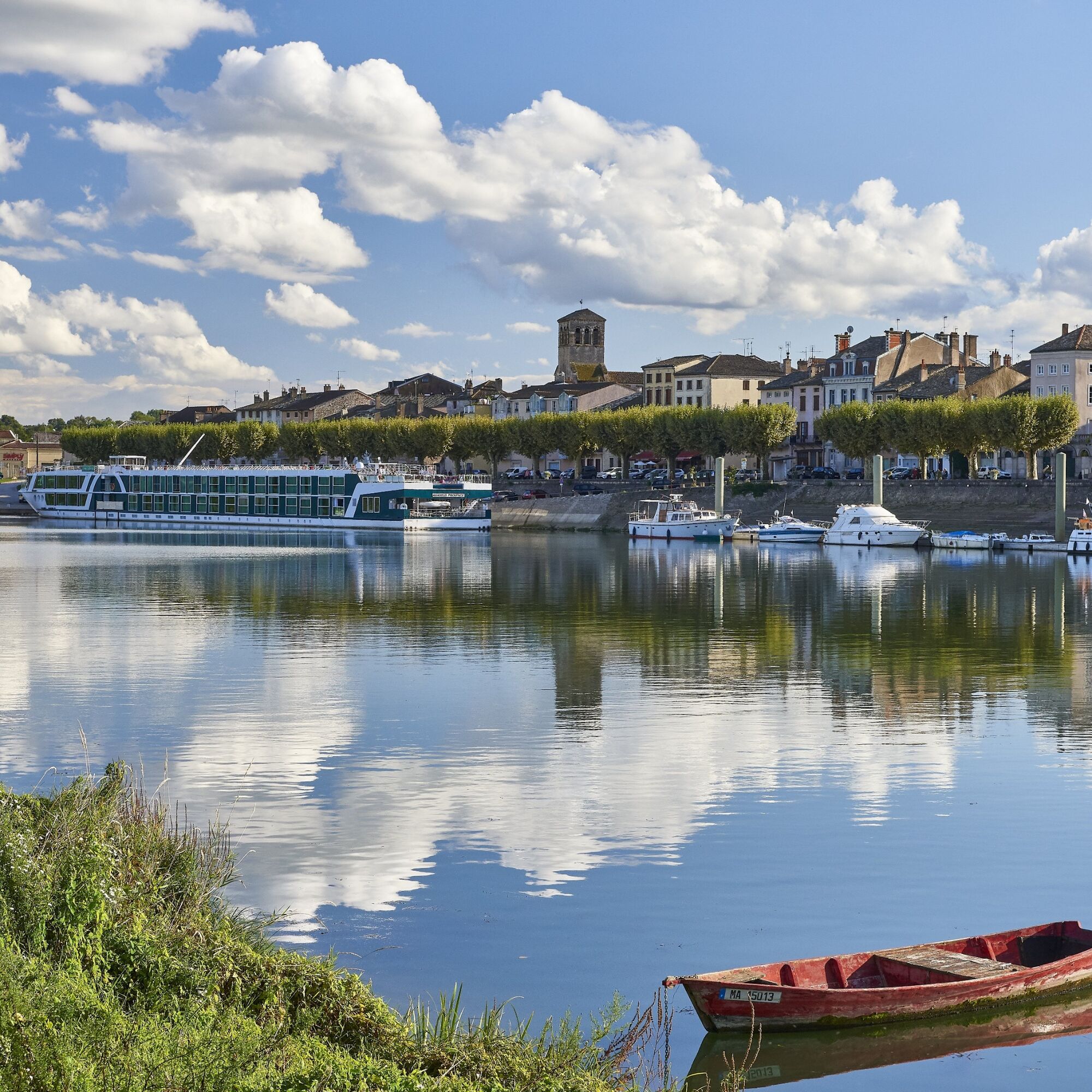
This third stage of the CycloRoute71 offers you the opportunity to discover the rural atmosphere of Bresse Bourguignonne, as well as its historic capital, Louhans-Châteaurenaud, by following the peaceful...
This third stage of the CycloRoute71 offers you the opportunity to discover the rural atmosphere of Bresse Bourguignonne, as well as its historic capital, Louhans-Châteaurenaud, by following the peaceful meanders of the Seille from its mouth with the Saône. You can find the detailed route book for the 12 stages of the CycloRoute71 in the "our brochures" section.


In case of emergency, dial 112
Consider carpooling
Parking near the starting point
3
Popularne wycieczki w okolicy
-
Au fil de l'eau de Louhans à Mâcon
światłoKajak / Canoe 73,4 km -
La Voie Bleue, Moselle-Saône à vélo : de Mont-les-Seurre à Mâcon
światłoJazda na rowerze 212,4 km -
Au fil des moulins et panorama de la Garenne
światłoWędrówka 5,52 km -
Entre Seille et Saône
średniDroga rowerowa 70,0 km -
La Saône, rive gauche
światłoMountainbike 10,6 km -
Le bois de Plottes
średniMountainbike 15,0 km -
Le Comptoir des Dunes - Église Saints-Pierre-et-Paul - Les Charmes - Sermoyer
światłoWędrówka 10,9 km -
Église Saints-Pierre-et-Paul - Le Comptoir des Dunes - La Truchère - Sermoyer
światłoWędrówka 9,99 km -
Tournus - Église Sainte-Madeleine - Saint-Clair - Port de Fleurville
światłoJazda na rowerze 14,6 km -
Les Blaises - Église Saint-Pierre - Les Varennes - Le Carré
światłoWędrówka 17,4 km

Wędrówki i tropienie


Nie przegap ofert i inspiracji na następne wakacje
Twój adres e-mail została dodana do listy mailingowej.