


Grandes Traversées du Jura (GTJ) : Mountain bike route from Mandeure to Culoz via the Grand Colombier Massive
Poziom trudności: S2
From Mandeure in the Doubs to Culoz in Ain, the trail allows you to discover the incredible diversity of the Jura Mountains at your own pace. Don't be fooled by the northern GTJ mountain biking. The ascent...
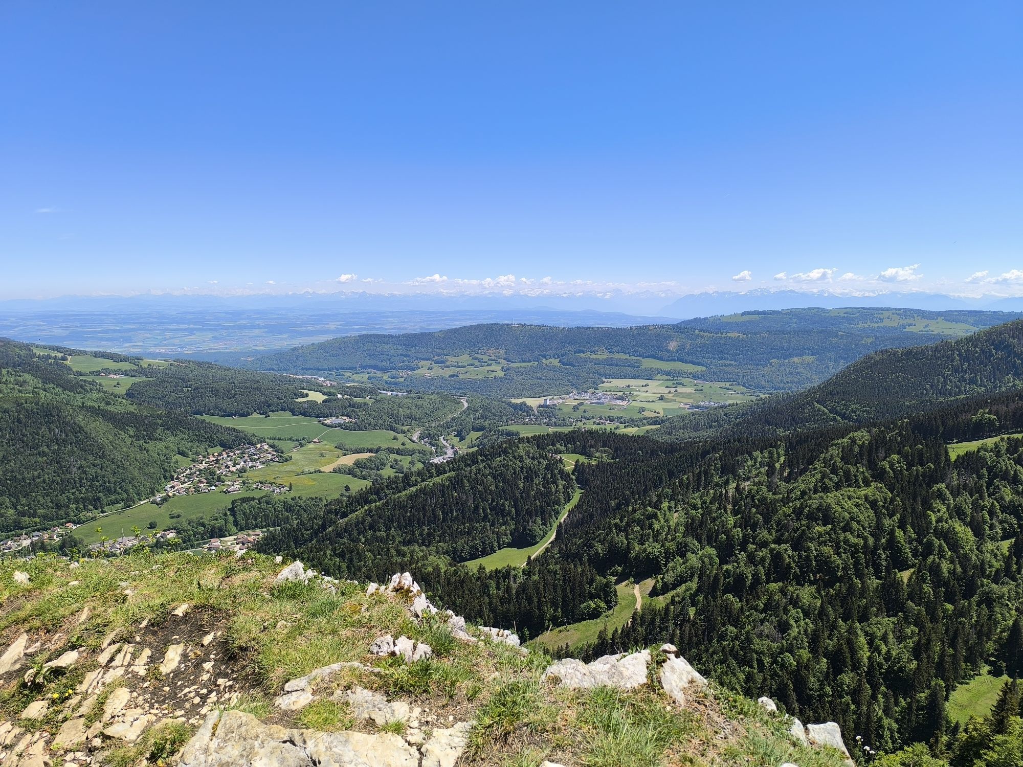
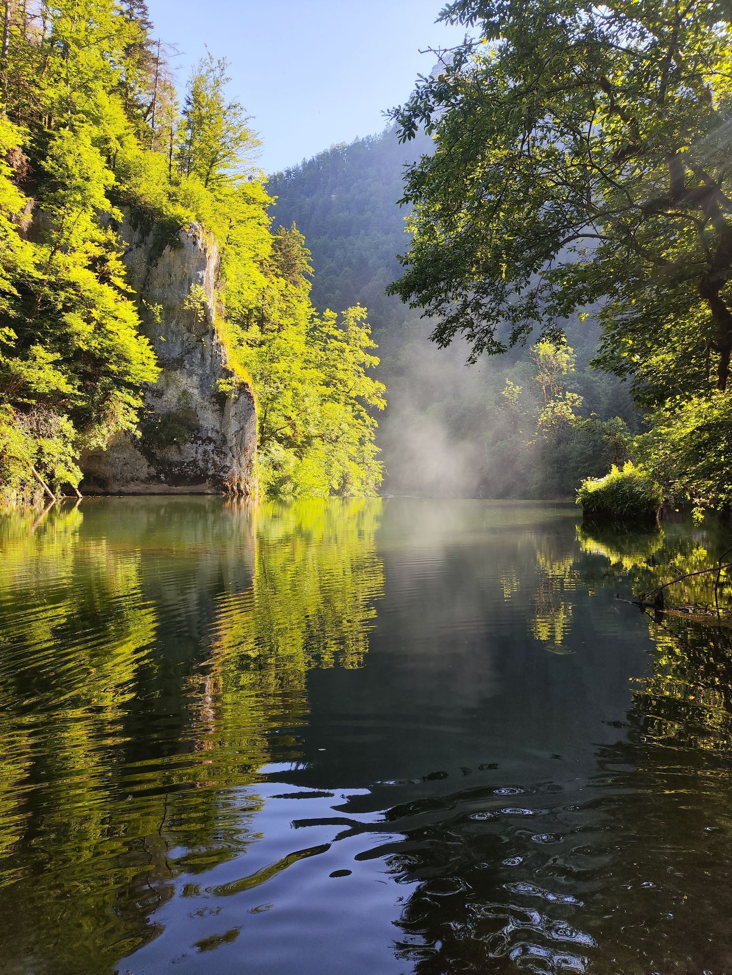
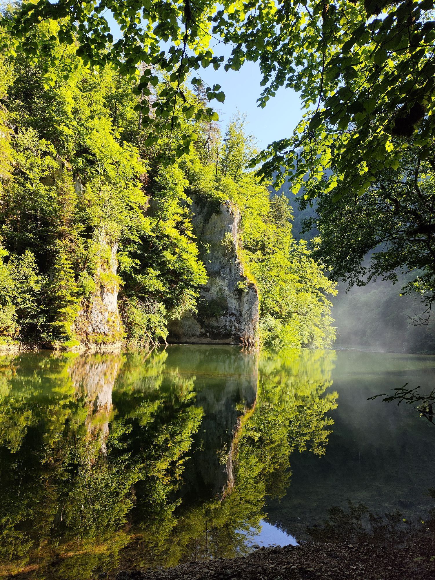
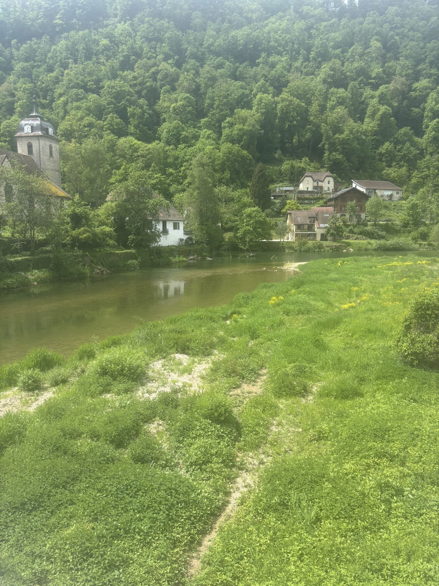
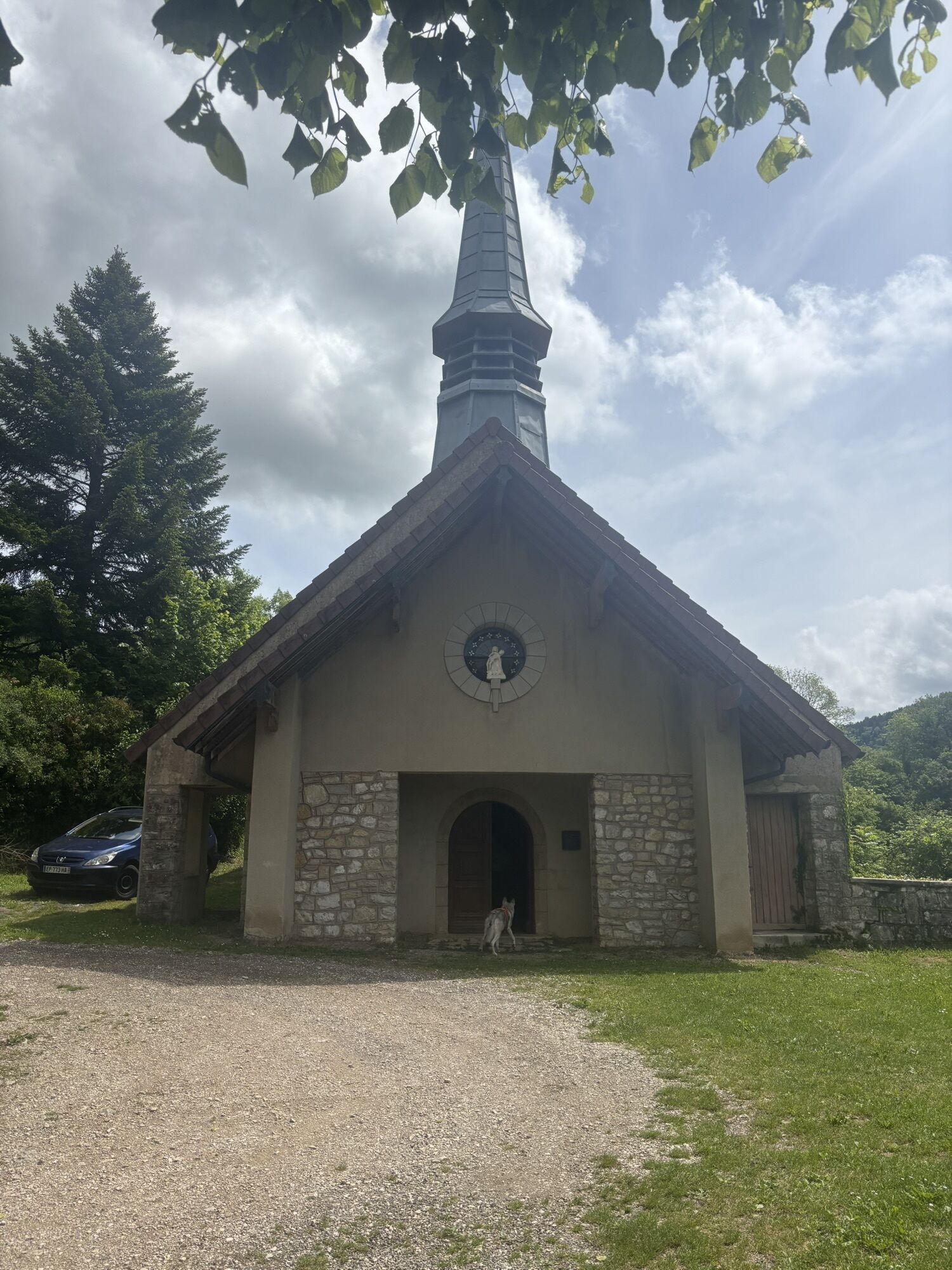
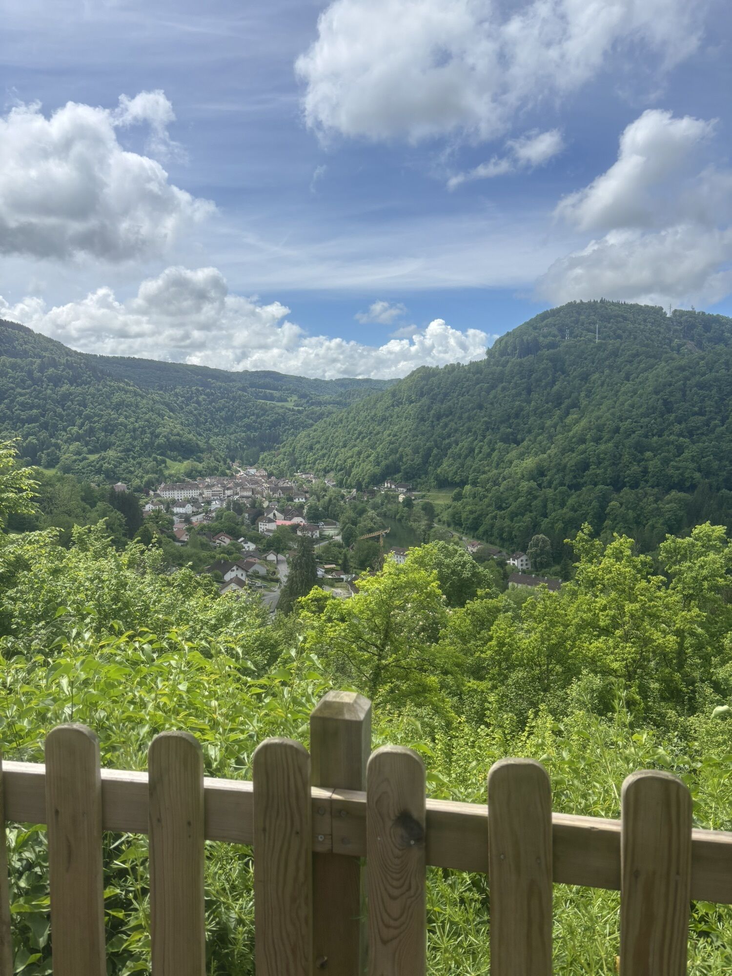
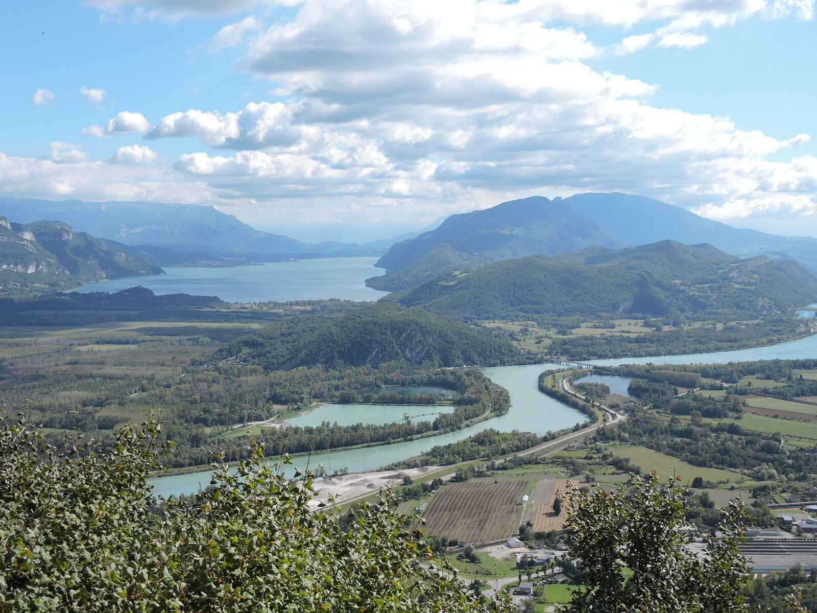
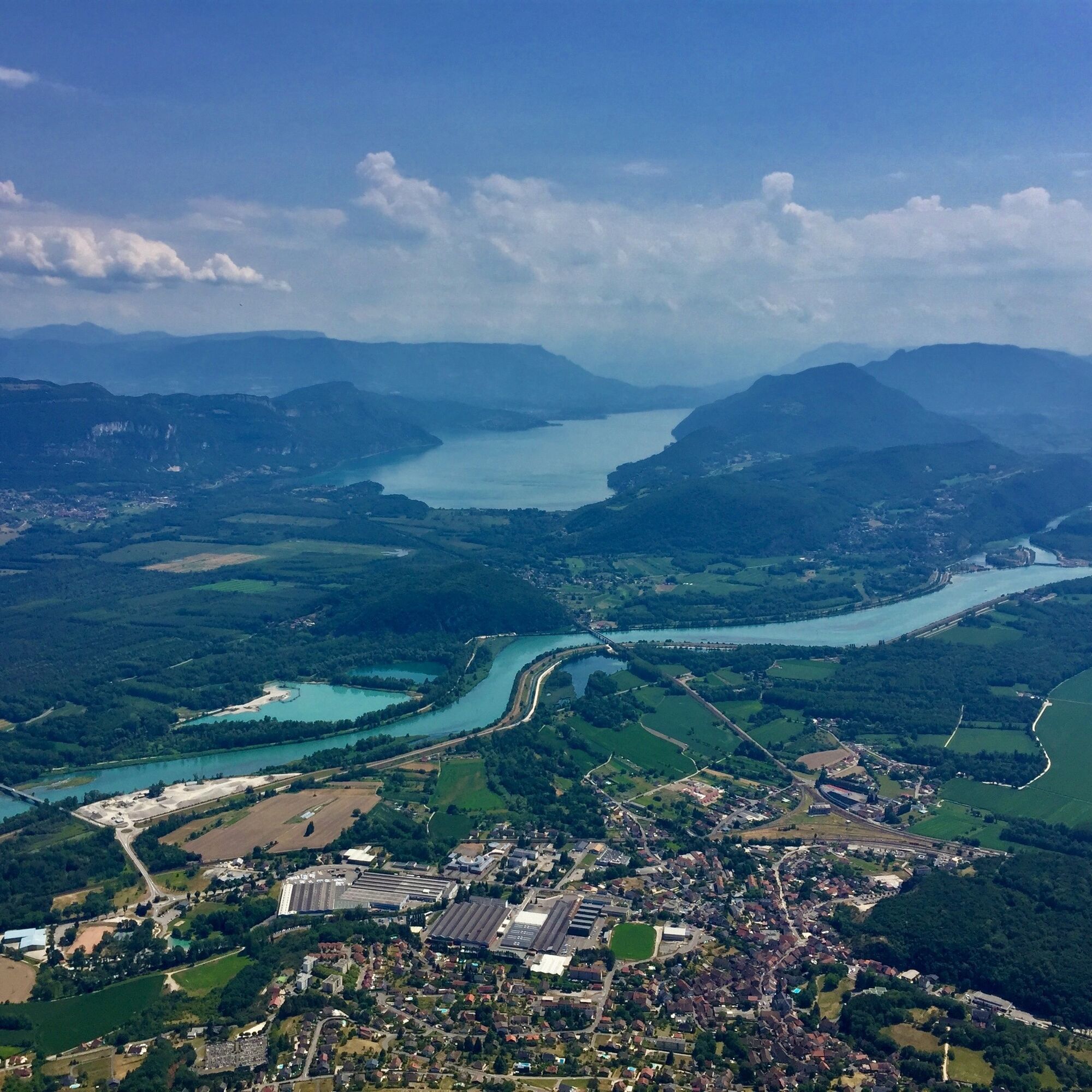
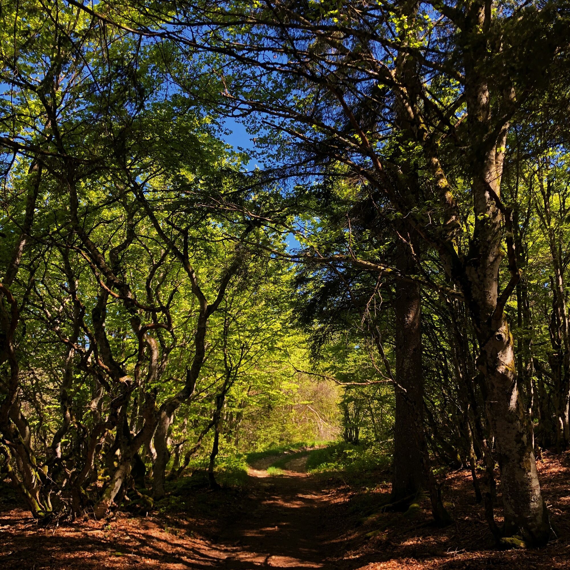
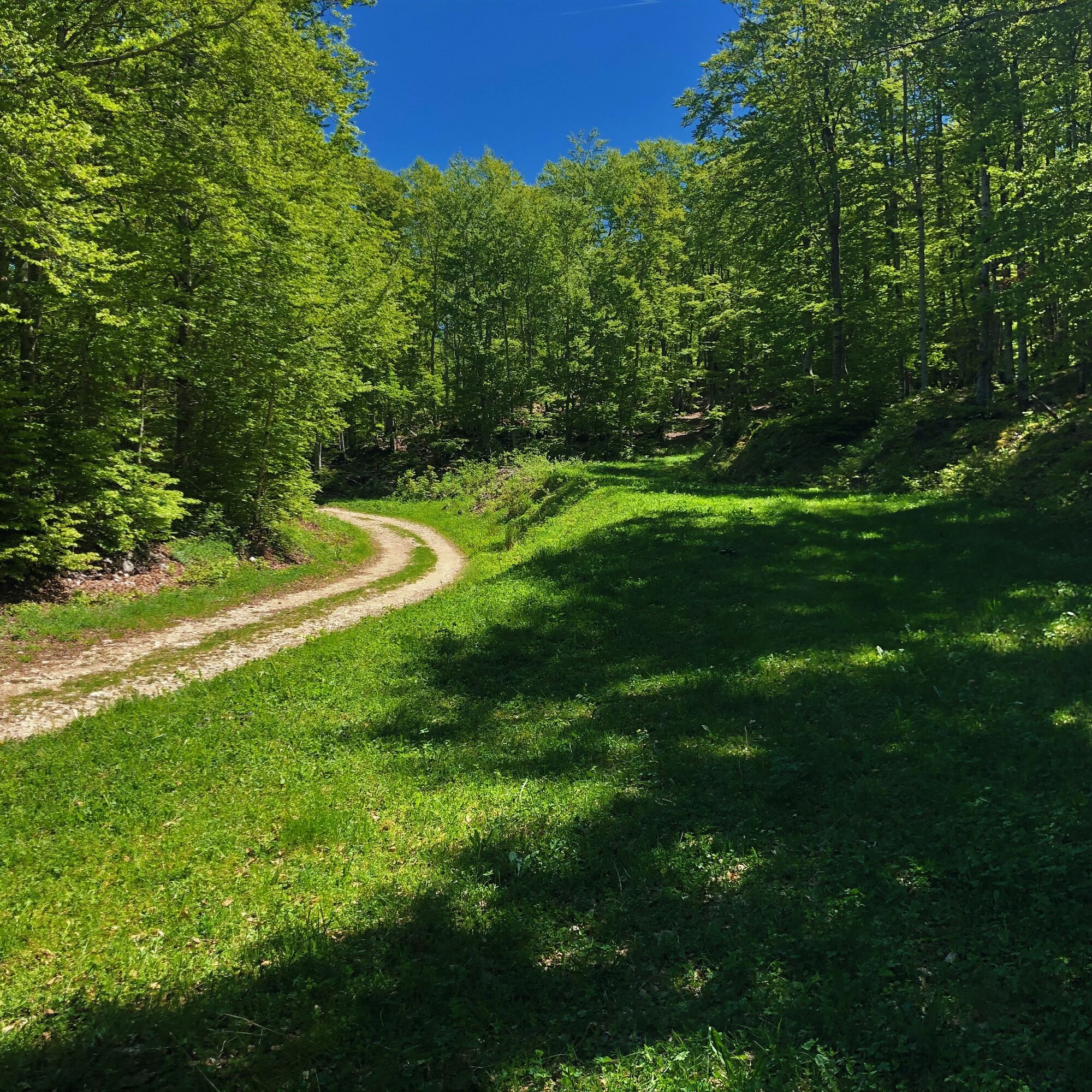
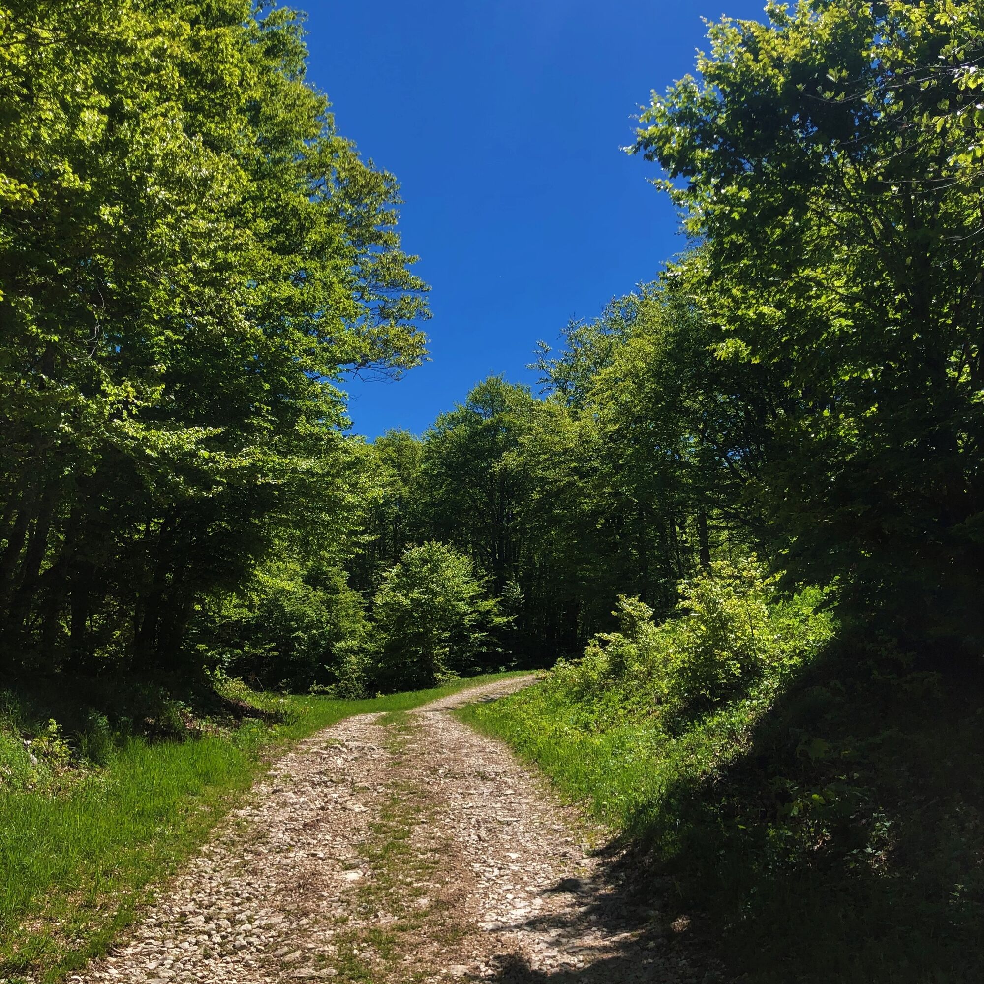
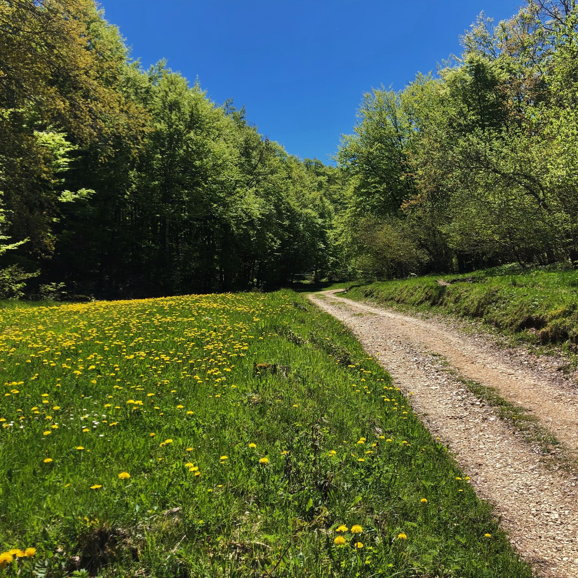
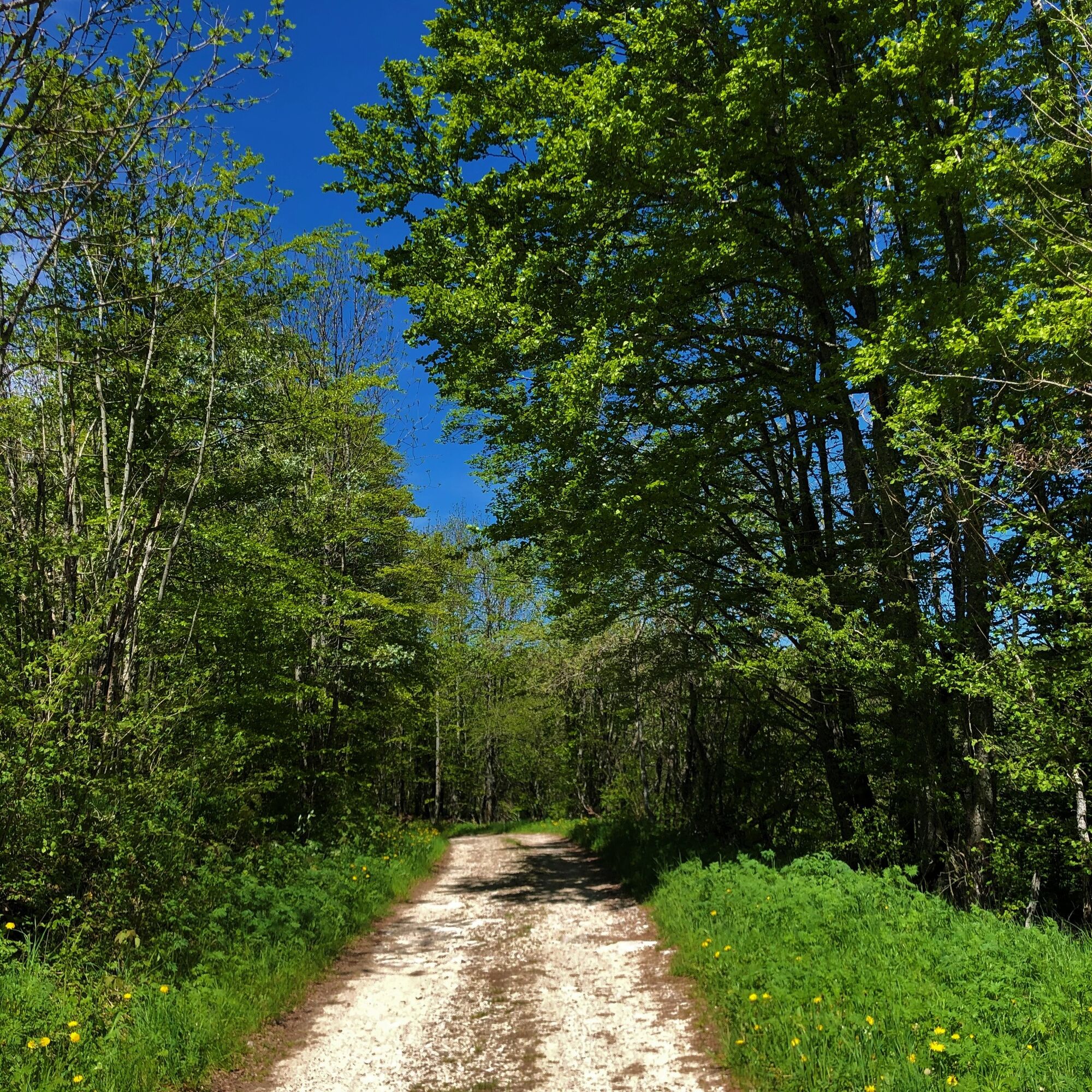
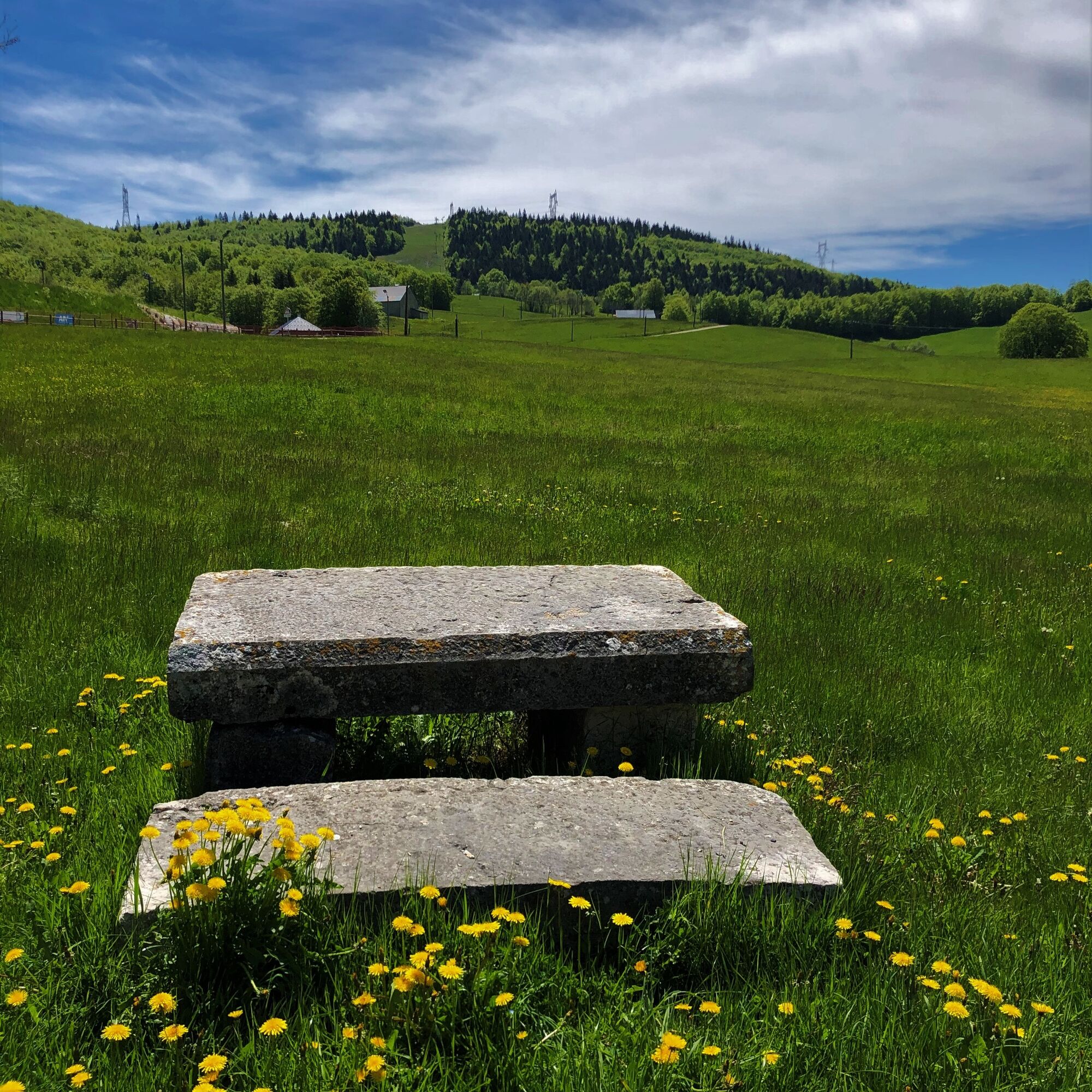
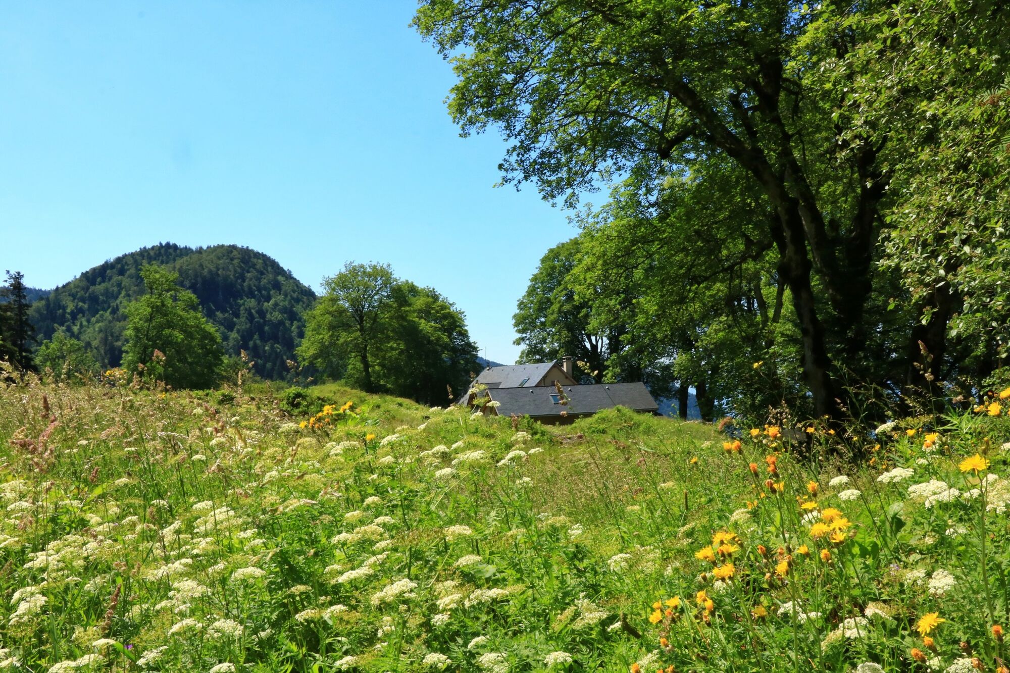
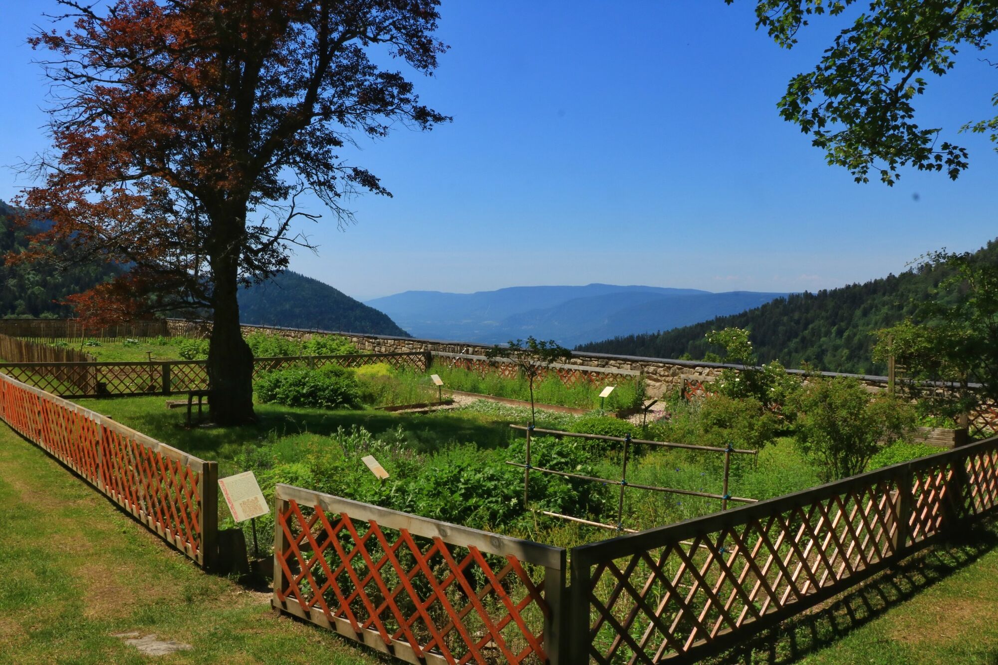
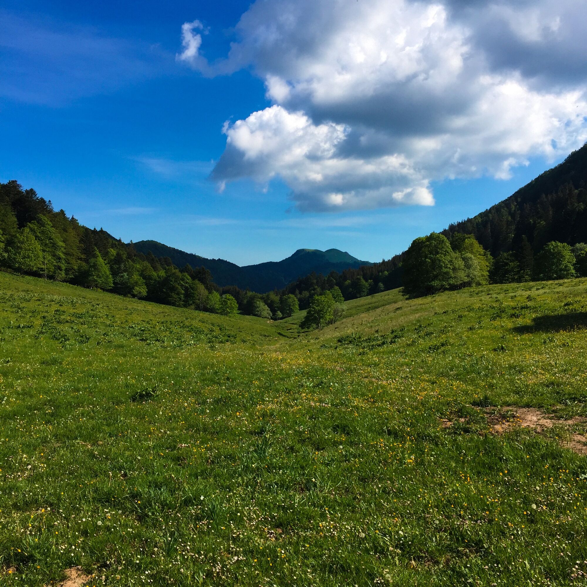
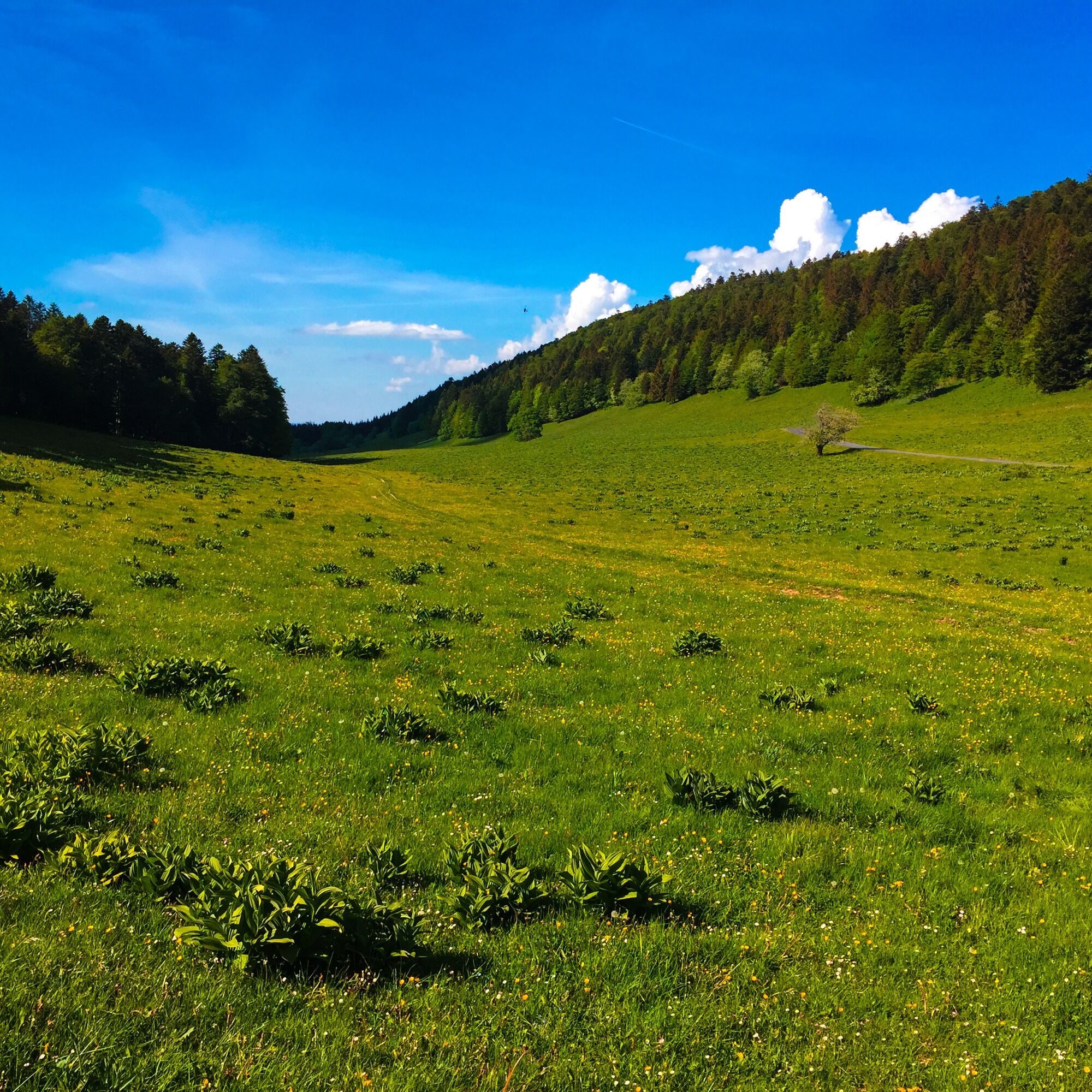
You are in the Haut Jura Regional Natural Park with its contrasting reliefs oscillating between 600 and 1700 m in altitude which allow the cohabitation of typical fauna and flora. Chapelle des Bois marks the southern end of the Department of Doubs. Linger along the Mortes and Bellefontaine lakes bordered by a magnificent peat bog. The Jura department welcomes you. After the Station des Rousses you arrive in the land of the Hautes Combes, meadows and sumptuous forests which are home to rare fauna… be careful, you are in the land of the Capercaillie and the Eurasian Lynx. In Lajoux, the Maison du Parc naturel régional du Haut-Jura will introduce you to the Jura culture. Then you will ride in the Hautes Combes Jurassiennes, a mecca for cross-country skiing. La Pesse, from the local name of the spruce, will allow you to savor the wild atmosphere of the land of the crêts. That of Chalam marks the end of the Jura. It is by a beautiful descent that you will enter Ain. But be careful, you will have to go up to Bugey and its peaks. The Retord plateau will delight lovers of wide open spaces and silence. For the end of the trip, two options are available to you, one more bucolic and heritage via La Praille, and the Valromaysan treasures and the other more mountainous via Arvière then the mythical and famous Grand Colombier before descending towards Culoz.
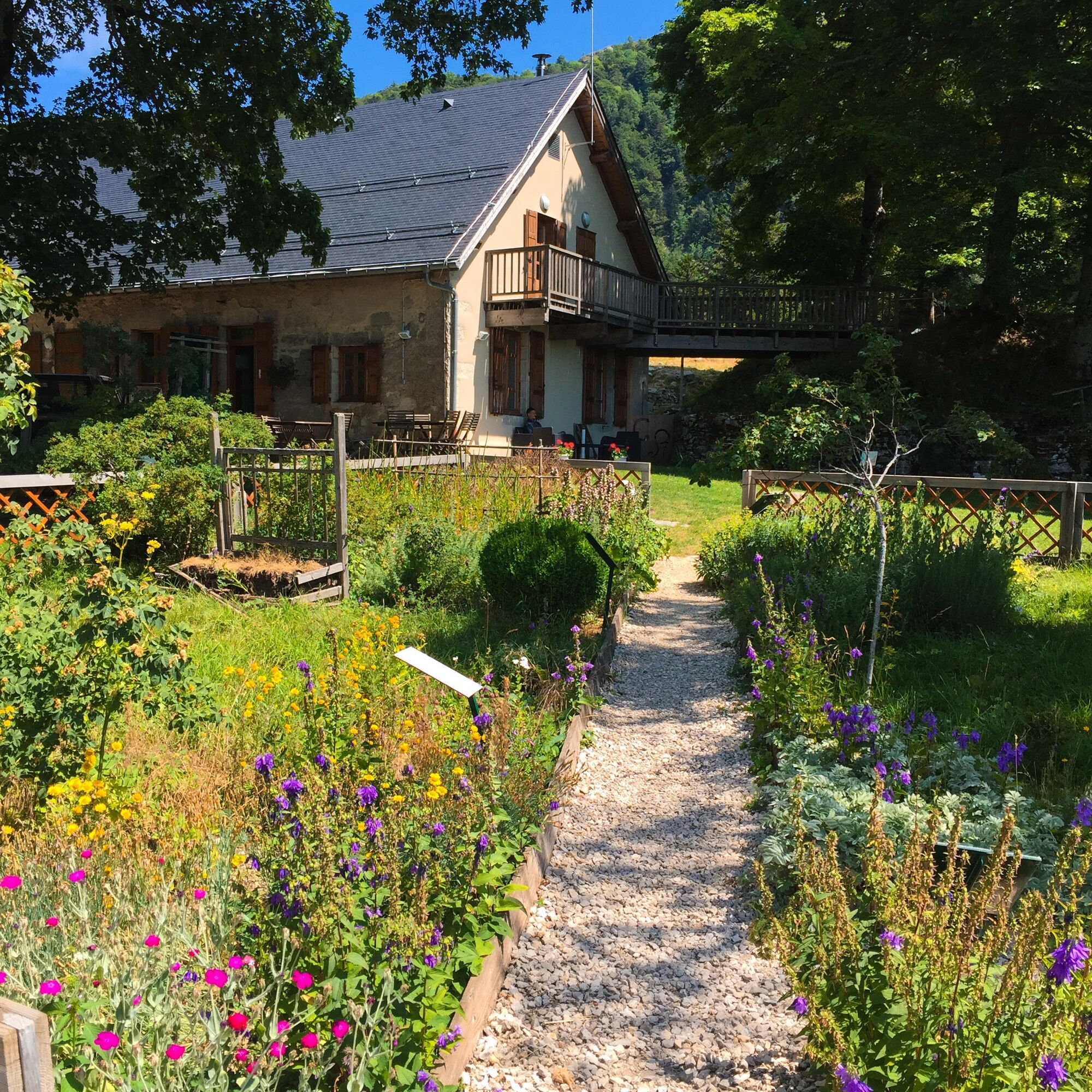
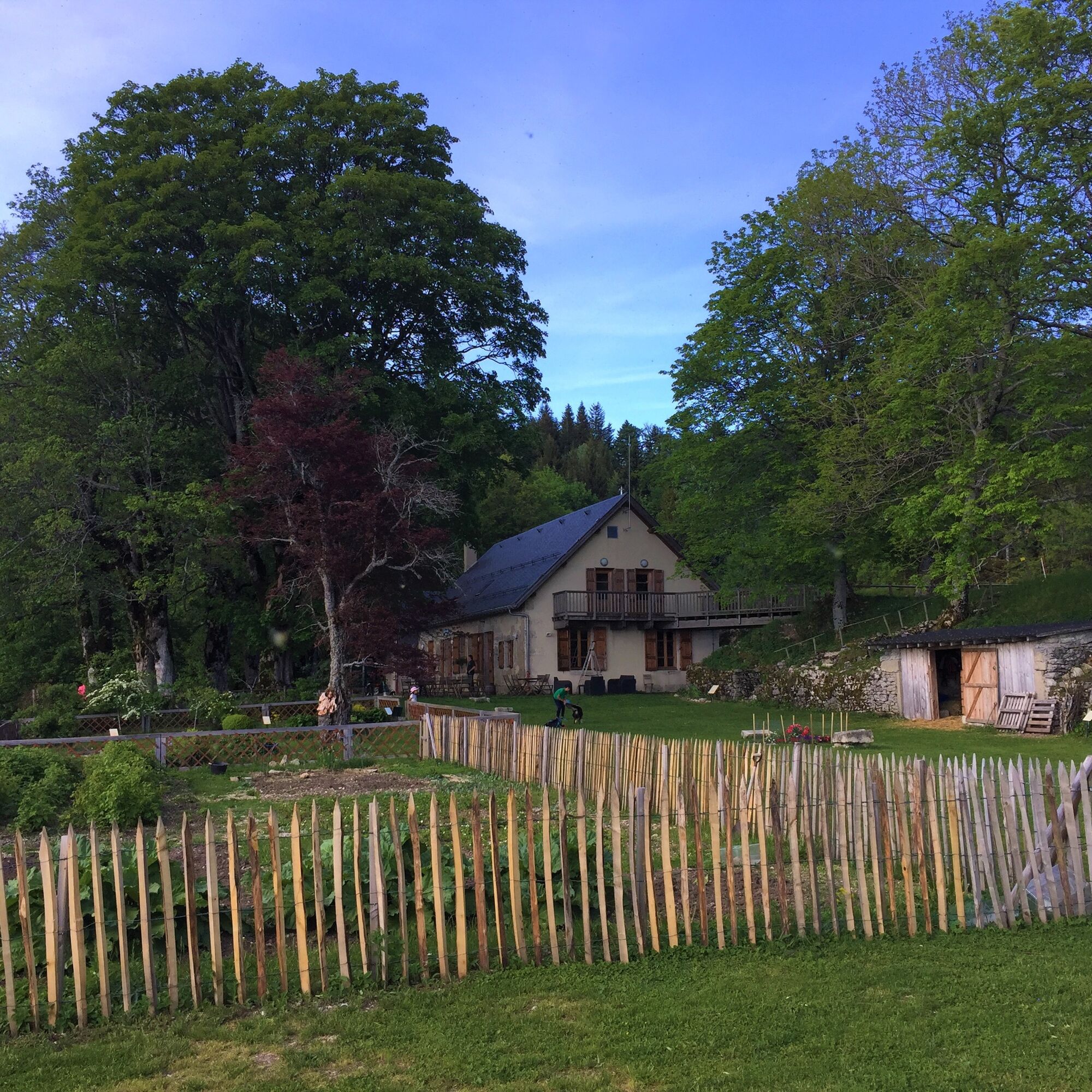
Throughout the 415 km of the marked trail of the Great Mountain Bike Crossing, 150 accommodations await you. From the stopover gîte to the hotel, including guest rooms, inns, refuges and campsites.
Find all the information relating to accommodation / catering along the route, news (temporary diversions), preparation advice and official tracks on the Grande Traversée du Jura VTT website.
It takes between 6 and 9 days to complete the entire route depending on your level.
The return is from the Culoz train station (Lyon - Geneva line) to Mandeure.
Recommended route: Culoz - Lyon then Lyon - Montbéliard (direction Nancy).
From Montbéliard: join the start in Mandeure 14 km away by cycle path crossing Sochaux-Montbéliard via Exincourt, Audincourt and Valentigney.

Follow the GTJ MTB markings.
Tak
Tak
Tak
It is recommended to equip yourself with warm, waterproof, breathable clothes suitable for MTB; to have enough energy bars and other solid snacks; to be able to carry at least 1.5 L of water per day, as water sources are rare along the route; and a first aid kit.
Dial 112 in case of emergency.
Find the safety instructions on the GTJ website.
Access to Culoz:
Highways from Lyon:
A40, exit 8 Saint-Martin-du-Fresne and Hauteville for Les Plans d’Hotonnes and Plateau de Retord
A42, exit 8: Ambérieu-en-Bugey
A43, exit 10 Les Abrets
Departmental roads
D 1504 from Ambérieu-en-Bugey
D 992 from Chambéry
Find public transport access on the GTJ website.
The return is from the SNCF station of Culoz (Lyon - Geneva line) to Mandeure.
Suggested itinerary: Culoz - Lyon then Lyon - Montbéliard (direction Nancy).
From Montbéliard: reach the start at Mandeure 14 km away via a bike path crossing Sochaux-Montbéliard through Exincourt, Audincourt, and Valentigney. Eco mobility guide to consult.
Parking is available at the Culoz station.
S2
An error on this sheet? Write to the owner referencing these details:
Sheet name: Grandes Traversées du Jura (GTJ): MTB route from Mandeure to Culoz via the Grand Colombier | Sheet ID: 840864 | URL of this Outdooractive page.
Embark on the adventure of a lifetime on a very well-marked crossing, very accessible to occasional or more experienced MTB riders! It takes between 6 and 9 days to complete the entire route depending on your level.
Kamery internetowe z trasy
Station Métabief
Le Morond
La Faucille
La Faucille
Foncine Le Haut
Pontarlier - Larmont
Plans d'Hotonnes - Plateau de Retord
Combe - Saint Pierre
Les Rousses - Base Nautique
Pontarlier - les Granges-Dessus
Le Locle - Tissot
Saignelégier
Biathlon - Plateau de Retord
Centre Montagnard de Lachat - Haut Valromey
Balancier
Cuvéry - Plateau de Retord
Chapelle des Bois
Pontarlier - La Malmaison
Pontarlier - Larmont
Pré Poncet
La Chaux-de-Fonds, Centre nordique
Bellecombe - Hautes Combes
La Givrine, St-Cergue
La Trélasse
Morbier - Les Marais
Gentianes Morbier
Popularne wycieczki w okolicy
- 4,0
Sur les rives du Lac de Joux
światłoWędrówka 13 km 2.Etappe, Col du Marchairuz - Le Pont, 20.6.2022
światłoWędrówka 19,9 km3. Etappe Vaulion, Waadt/Schweiz 11.11.2022
średniWspinaczka lodowa 15,6 km4. Etappe - Teil 2 - Jougne, Burgund und Freigrafschaft/Frankreich
średniWędrówka 9,54 kmCamping Saint-Point-Lac 3
światłoE-MTB 47,8 kmMontricher - Pré Anselme - Buvette du Mont Tendre - Mont Tendre
ciężkiWędrówka 17,6 kmMontricher - Châtel - Mont Tendre - Buvette du Mont Tendre
ciężkiWędrówka 17,8 kmLe Sentier - Mont Tendre - Buvette du Mont Tendre - Auberge aux 2 sapins
średniWędrówka 16,3 kmAuberge aux 2 sapins - Montricher - Buvette du Mont Tendre - Mont Tendre
ciężkiWędrówka 13,8 km- 5,0
L'Abbaye - Cabane du Ski Club de Vallorbe - Dent de Vaulion - Vaulion
średniWędrówka 8,80 km

Wędrówki i tropienie


Nie przegap ofert i inspiracji na następne wakacje
Twój adres e-mail została dodana do listy mailingowej.