







Selibühl Trail Run

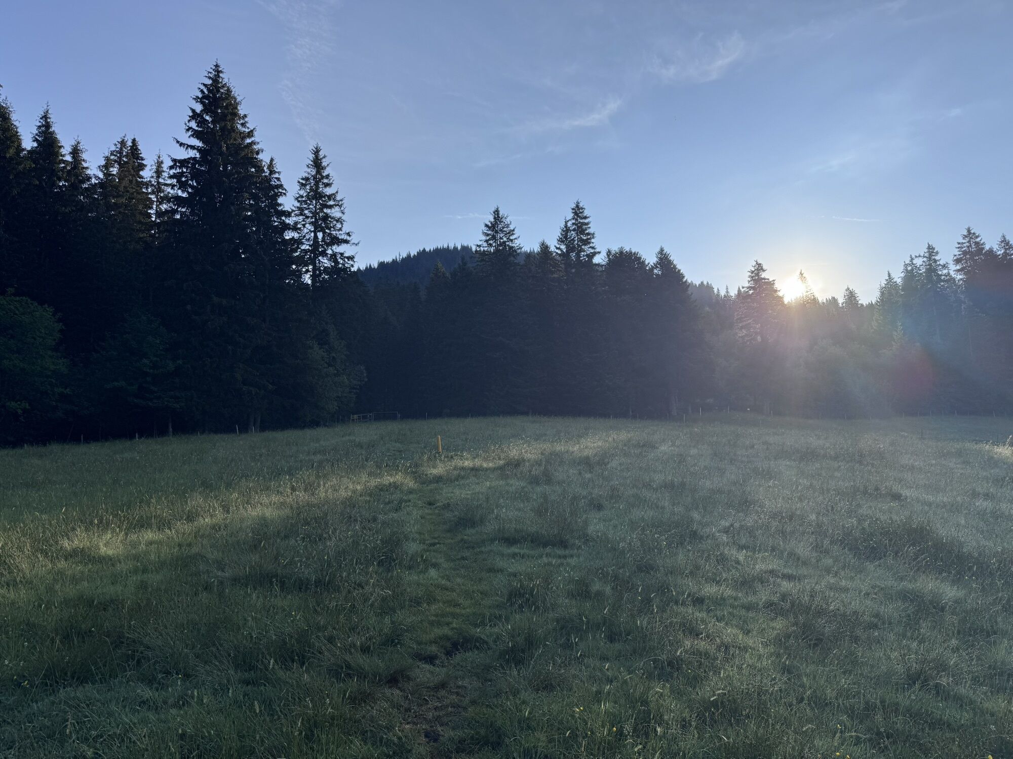
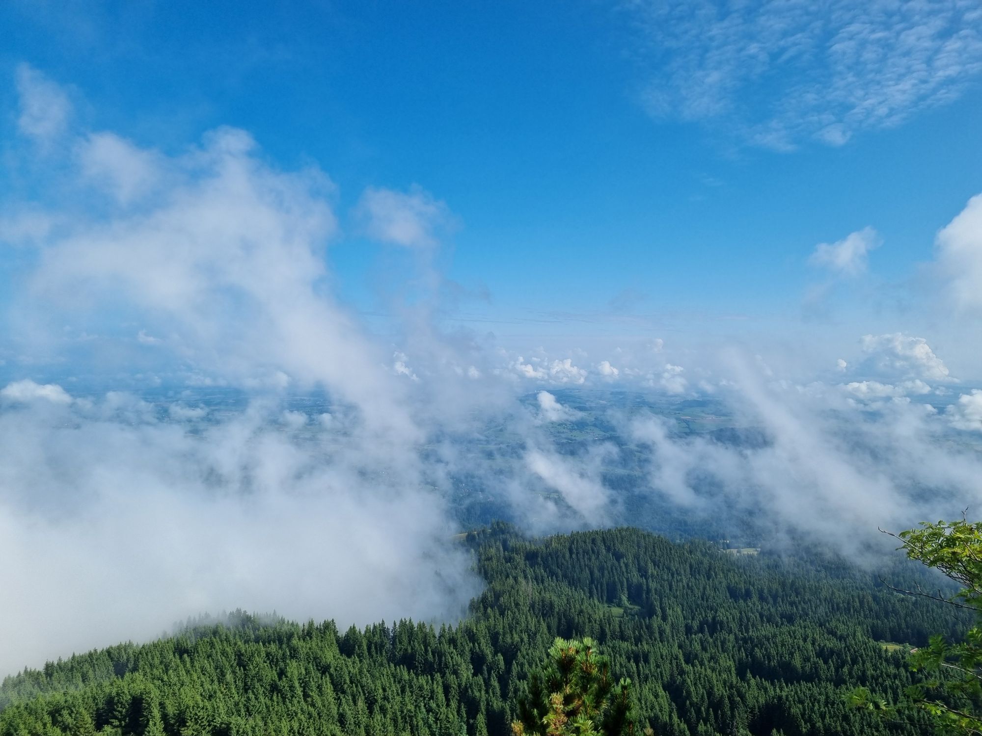
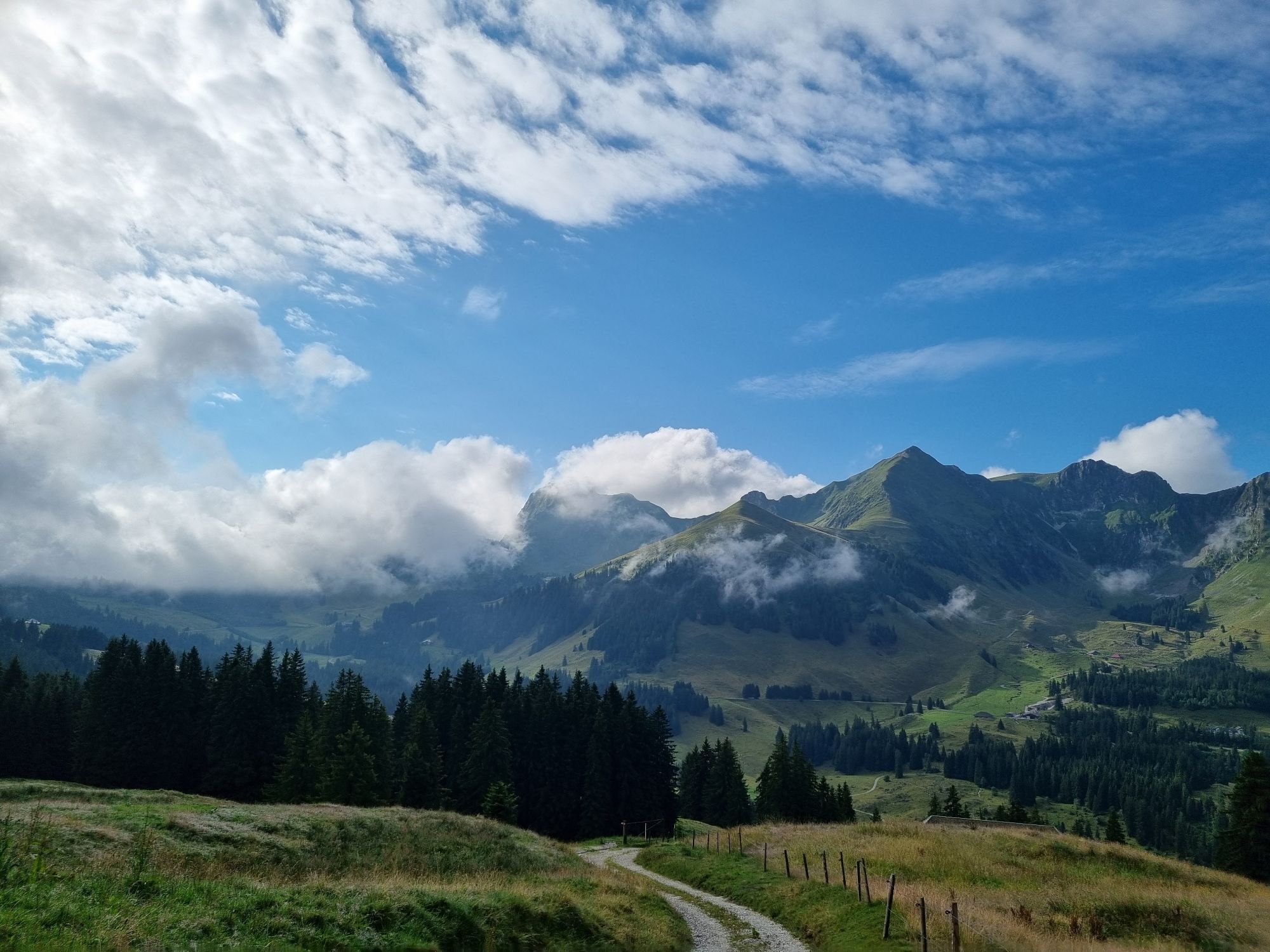
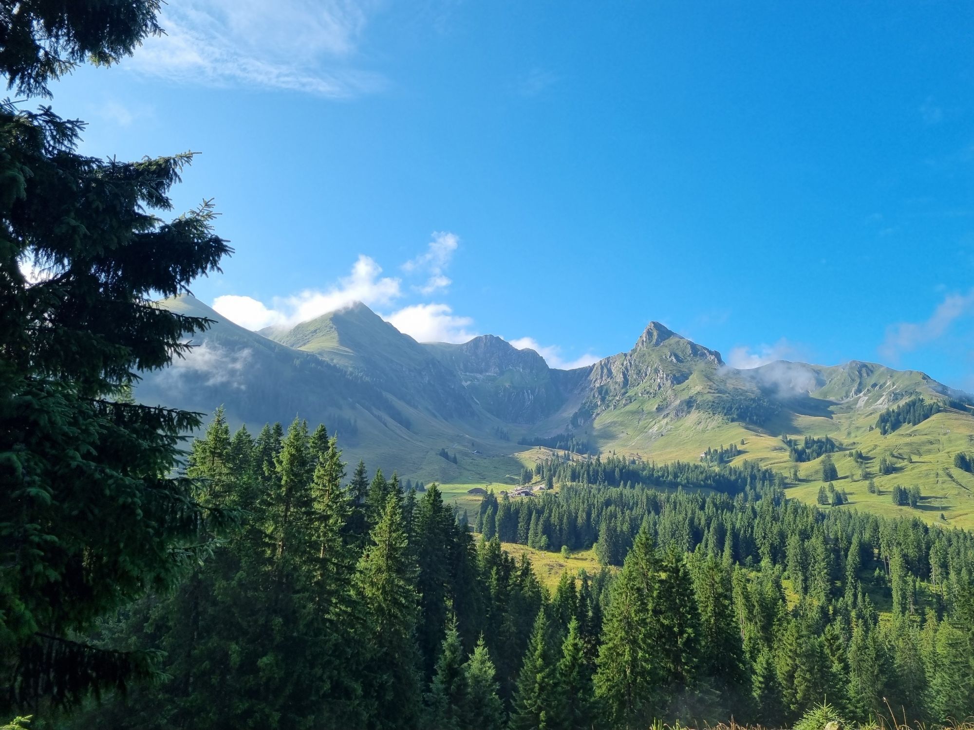
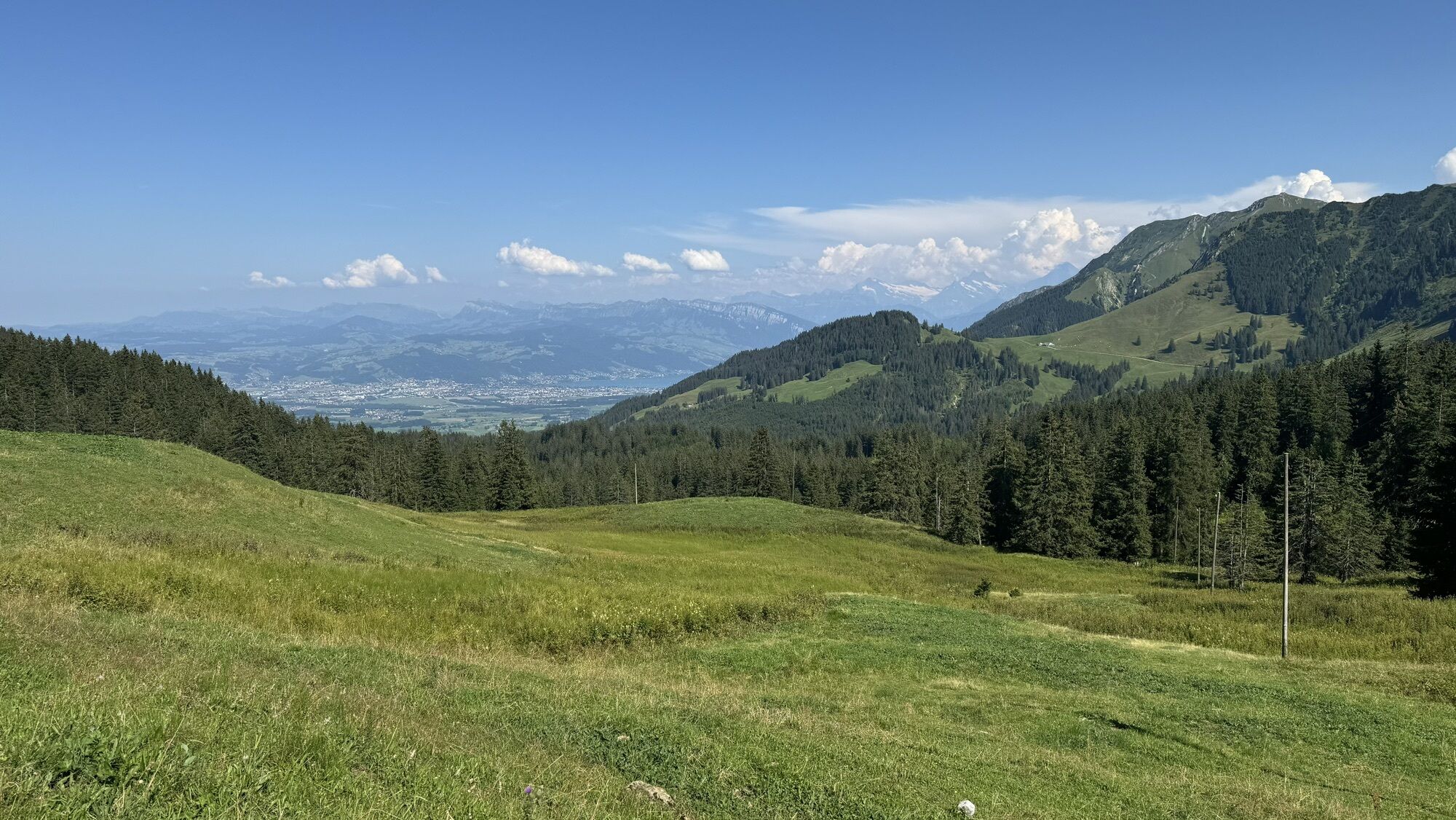
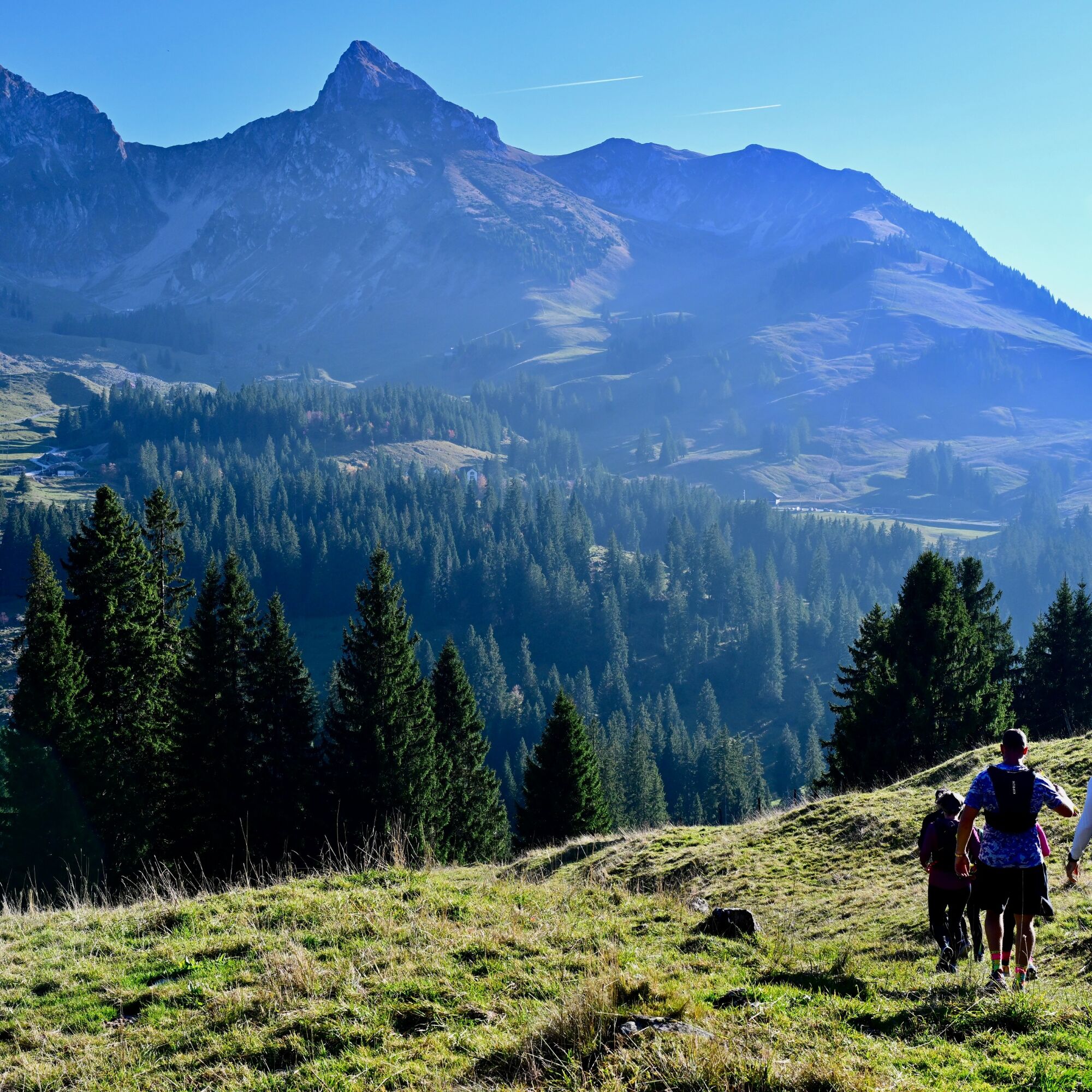
Starting at the Gurnigel bus stop (Wasserscheide), the trail climbs about 150 meters in elevation up to Selibüel. A detour to the summit is well worth it—the view extends across the entire, vast moorland...
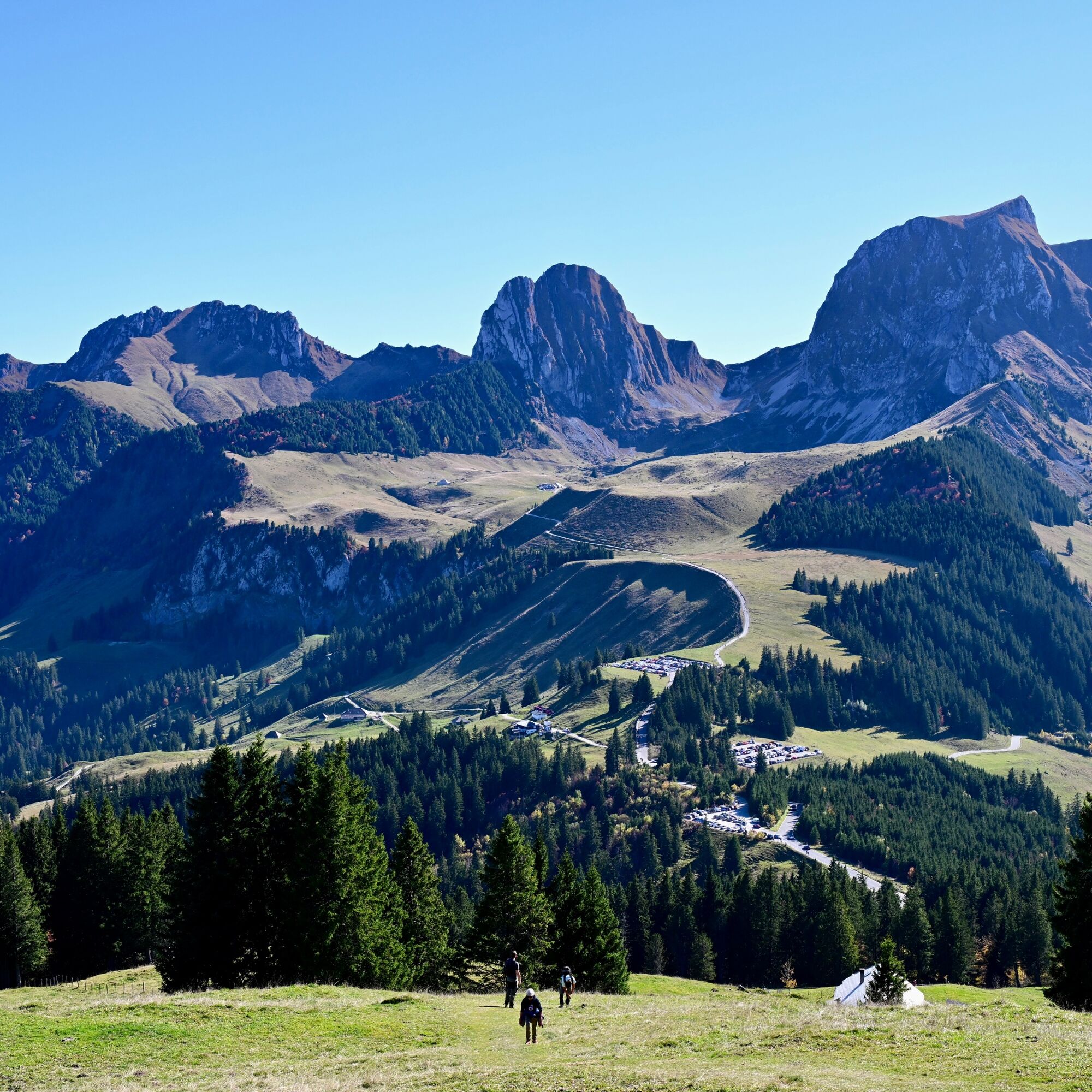
Starting at the Gurnigel bus stop (Wasserscheide), the trail climbs about 150 meters in elevation up to Selibüel. A detour to the summit is well worth it—the view extends across the entire, vast moorland landscape as well as the Gantrisch mountain range. For the descent—passing right by the Selenen Rotmoos protected forest reserve—follow the same trail used for the ascent before turning west toward the Selibüehlsattel. Following the ridge trail, you’ll catch a glimpse of the Schwarzenburg region through the dense spruce trees of the enchanting forest. At the Schüpfeflue viewpoint, it’s worth taking a short breather after the steep climb. Now descending, you leave the ridge at Süftenenegg and walk down a forest road and later a trail to Sollergraben, where you reach the lowest point of the route. From here, you can extend the tour via Schwefelbergbad and the Untere Gantrischhütte on the southern side of the Gantrisch Sense. Following the original route, you head back uphill through the protected flat bog landscapes of Walenhütten/Lauchboden and Selibüel. You cross Süftenenstrasse and reach the starting point at the watershed.

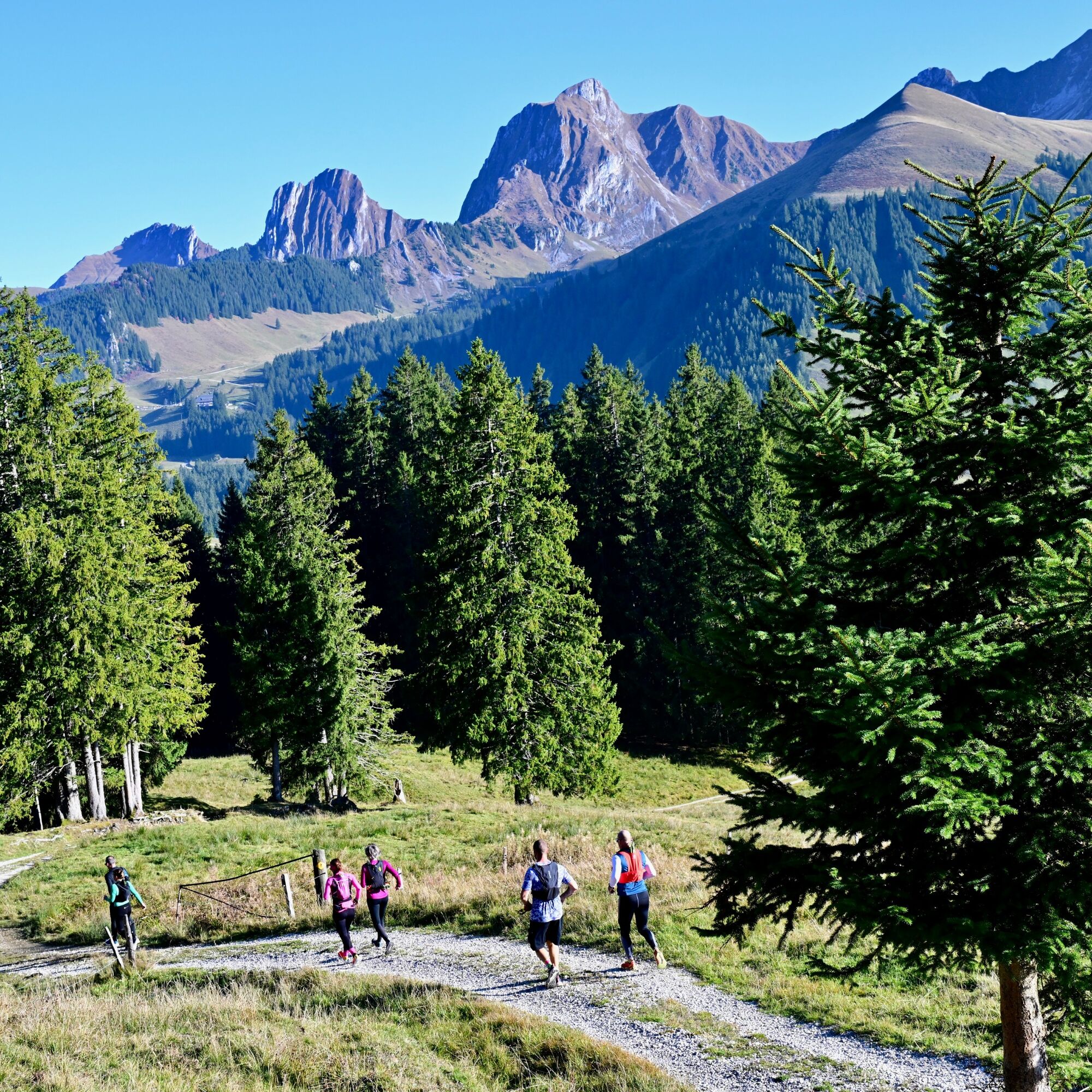
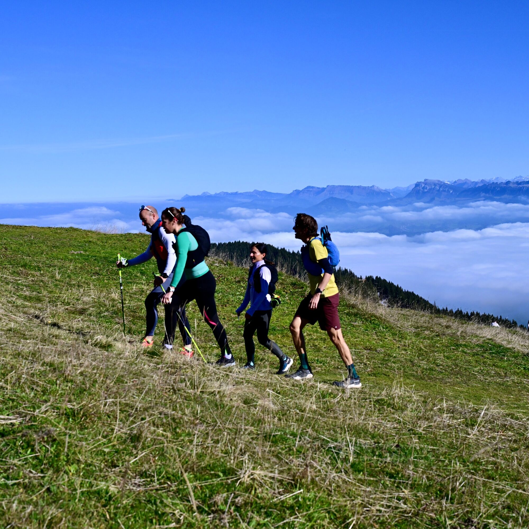
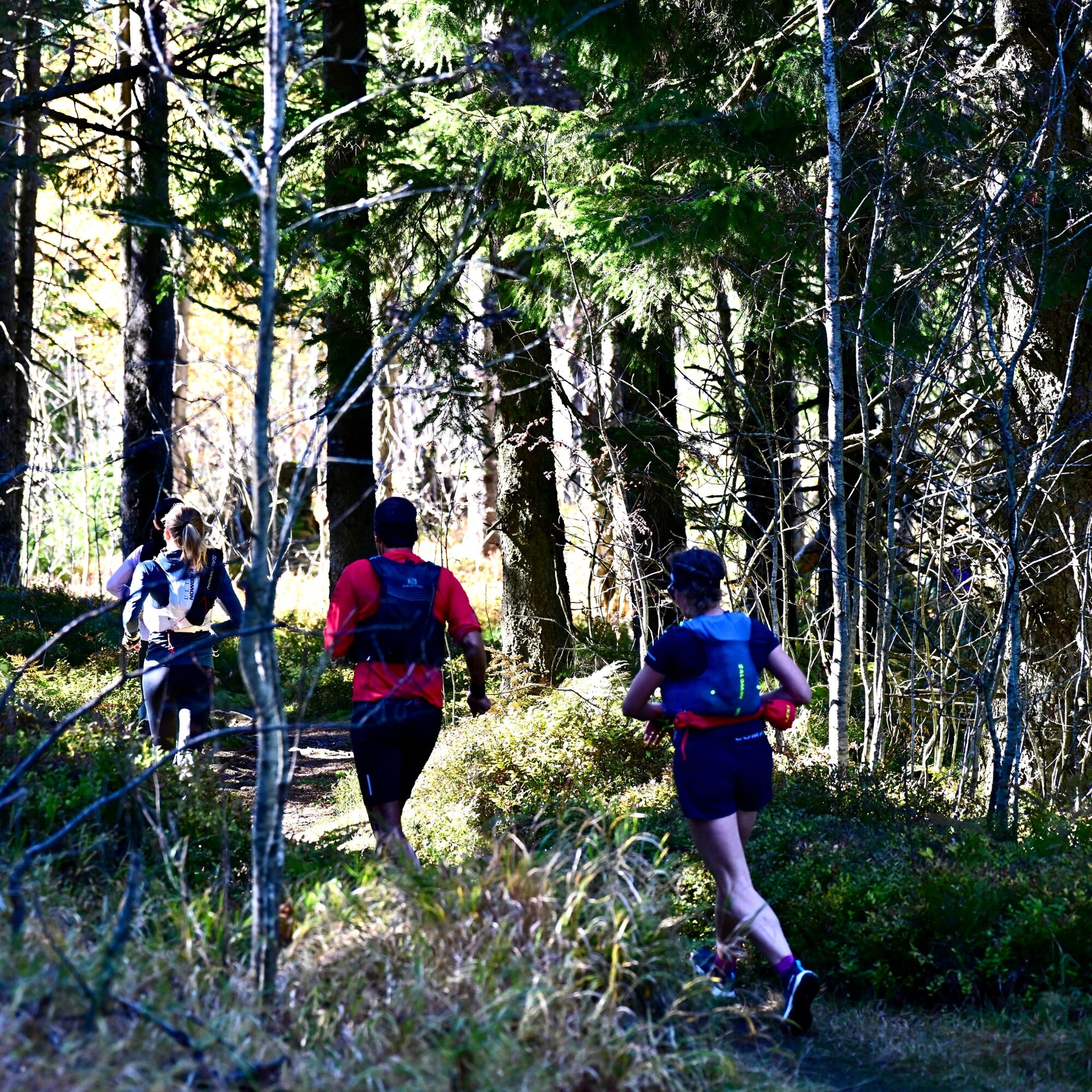
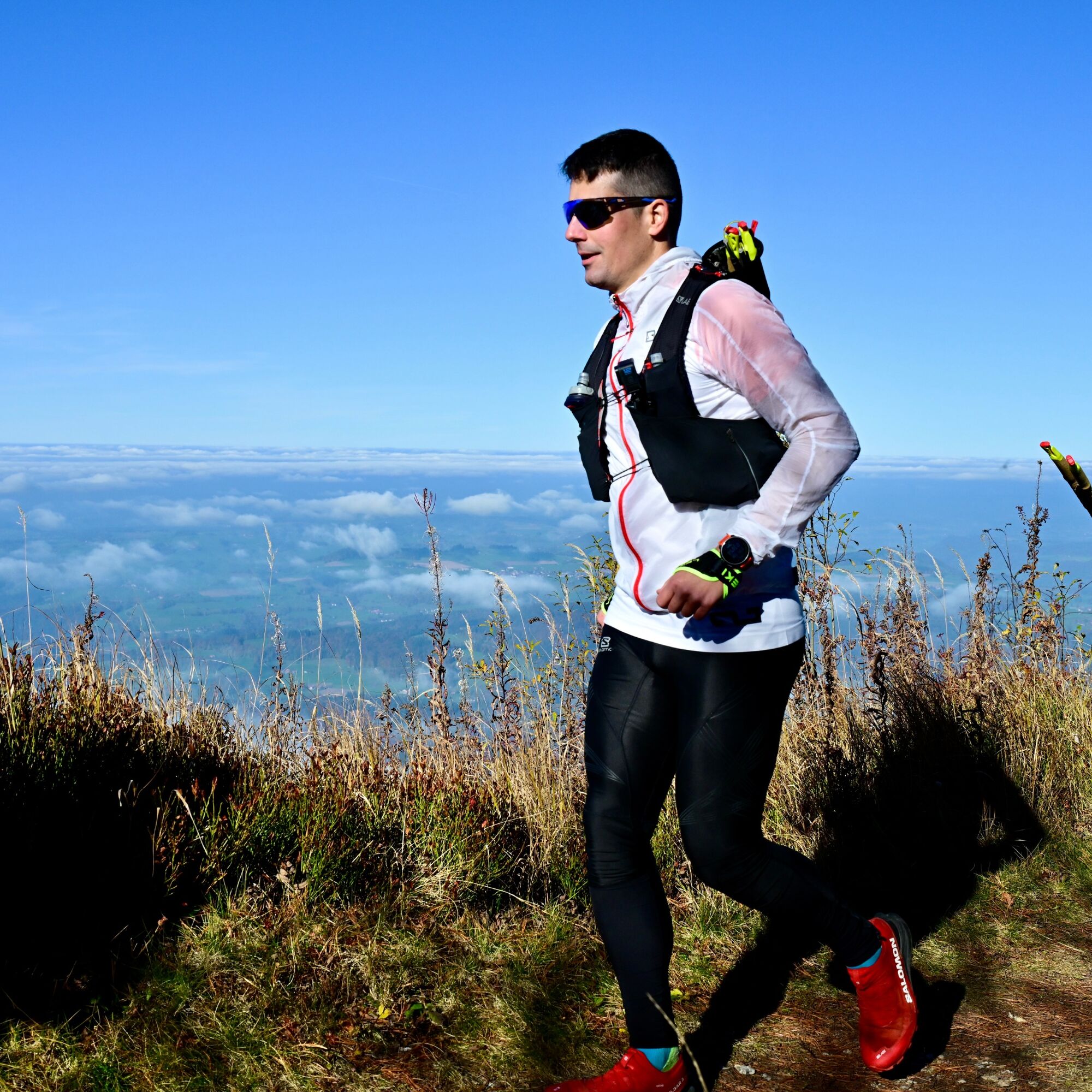
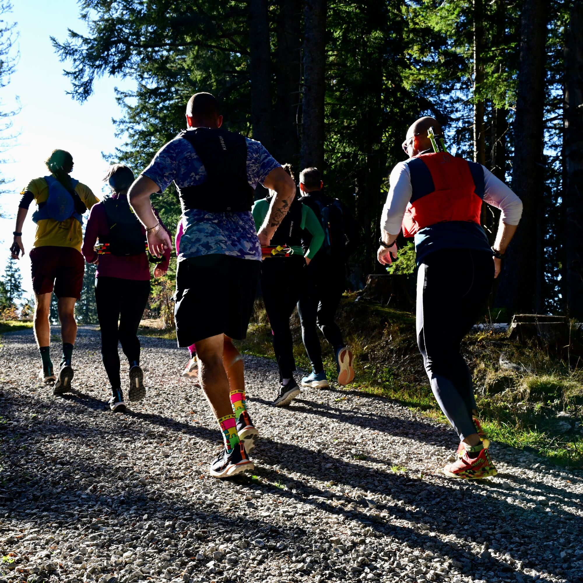
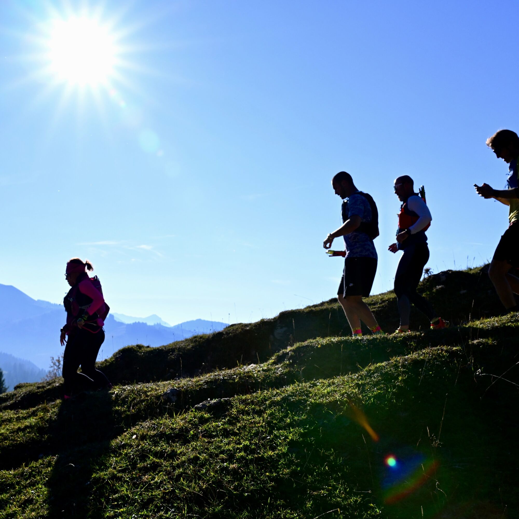
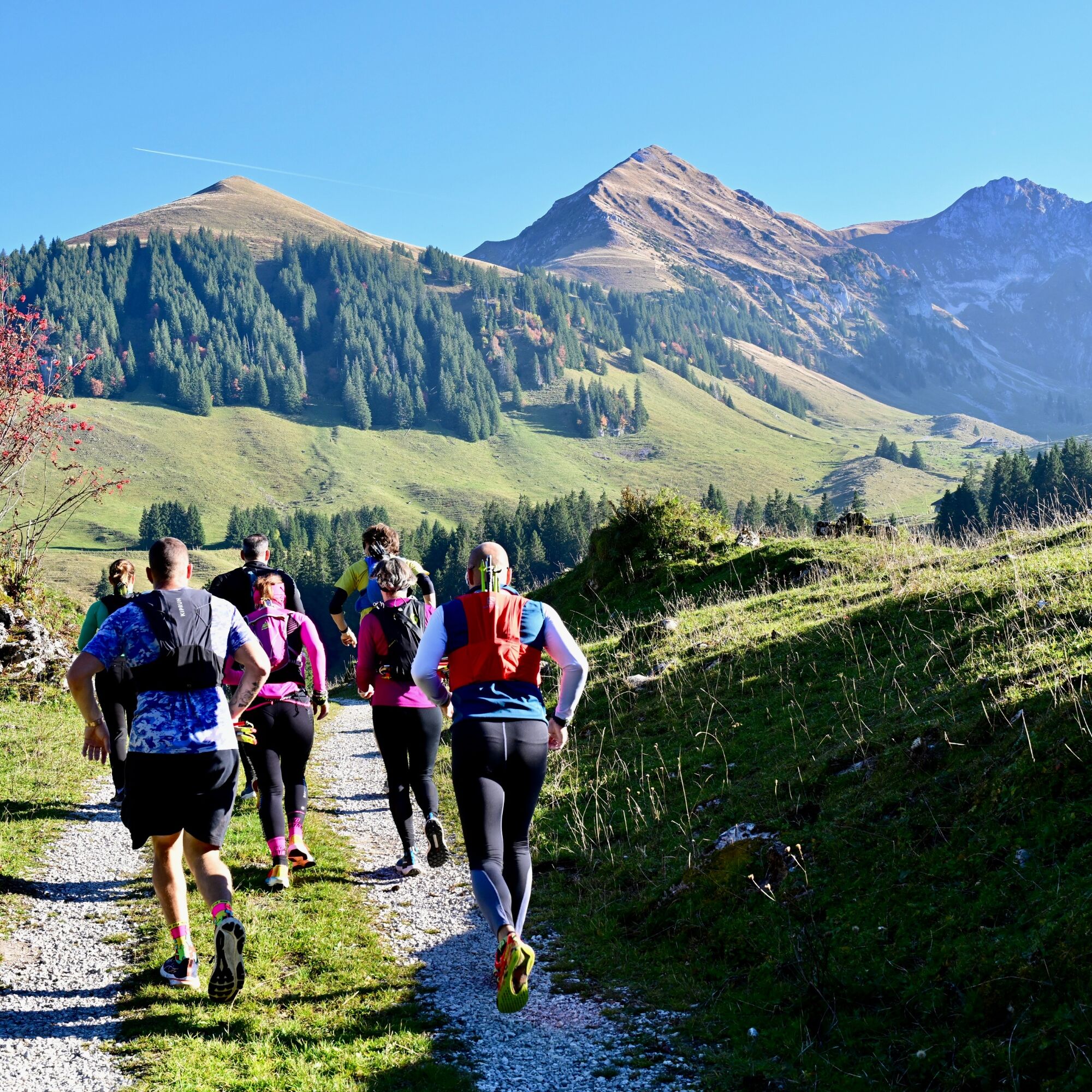

Running shoes (possibly trail running shoes), possibly a trail running backpack with gel/drink
Be Considerate of Hikers
Getting Here
Gurnigel Watershed, SBB Schedule
Getting Here
Lodging: Gurnigel Berghaus.
Campfire sites: Wasserscheide, Selibühlsattel, Schüpfeflue.
Kamery internetowe z trasy

Popularne wycieczki w okolicy
- 4,6
Gantrisch Summit Hike, 2176 m elevation
średniWędrówka 9,13 km - 4,8
Wasserscheide - Gantrisch Seeli
światłoWędrówka 9,33 km - 4,3
High-altitude hike Gurnigel - Stockhorn
średniWędrówka 11,2 km - 4,8
Summit hike Ochsen, 2188 m above sea level
średniWędrówka 7,94 km - 5,0
Schwarzsee Circular Route (SchweizMobil 787)
światłoWędrówka zimą 4,10 km - 5,0
Oberstockenalp
światłoWędrówka 6,26 km - 5,0
Riggisalp-Brecca-Schwarzsee Gypsera
średniWędrówka 10,1 km - 4,7
Schwarzsee circular route Häxewääg
światłoTrasa tematyczna 4,10 km - 4,8
Alpine Panorama Route Stage 20 (SchweizMobil 3)
średniWędrówka 12,2 km - 4,0
Circular hike Gürbequelle
średniWędrówka 8,24 km
Wędrówki i tropienie


Nie przegap ofert i inspiracji na następne wakacje
Twój adres e-mail została dodana do listy mailingowej.





