Nawigacja
Pobierz tę trasę na swój telefon komórkowy
Mapa
Alpine panorama route stage 6 (SchweizMobil 4)

średni
Jazda na rowerze
54,45 km
Zeskanuj kod QR i rozpocznij nawigację w aplikacji bergfex.
QR Code
Wędrówki i tropienie

Alpine panorama route stage 6 (SchweizMobil 4)

Odległość
54,4 km
Czas trwania
04:20 h
Ascent
700 hm
Poziom morza
555 - 868 m

Poziom trudności: 2

Ścieżka do pobrania
Mapa
Alpine panorama route stage 6 (SchweizMobil 4)
średni
Jazda na rowerze
54,45 km

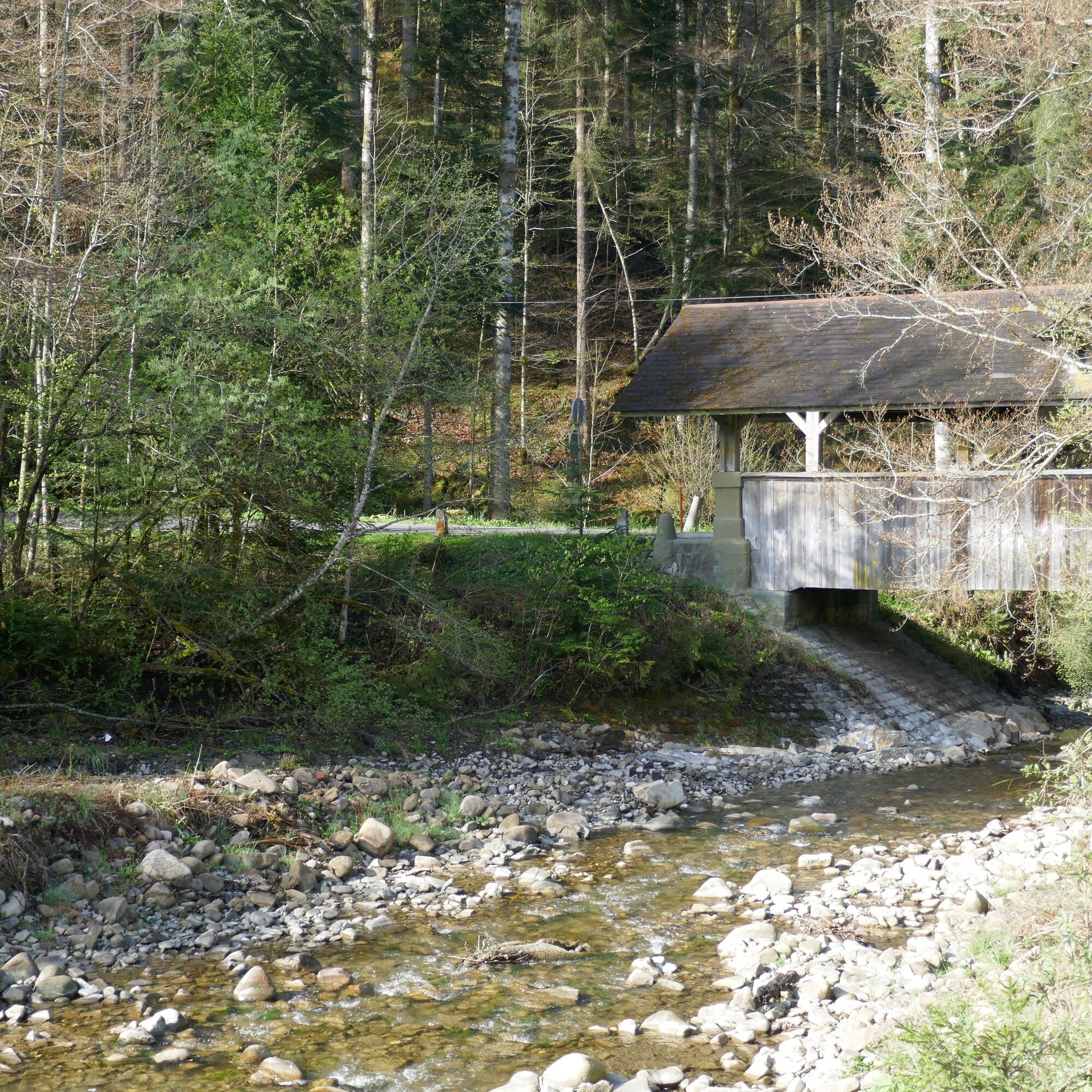
The largest part of the route runs through the Gantrisch Nature Park. The mountain range of the same name has lent its name to the region and the park. From the Bernese 'Chabisland' it goes to Schwarzenburg...

Opis

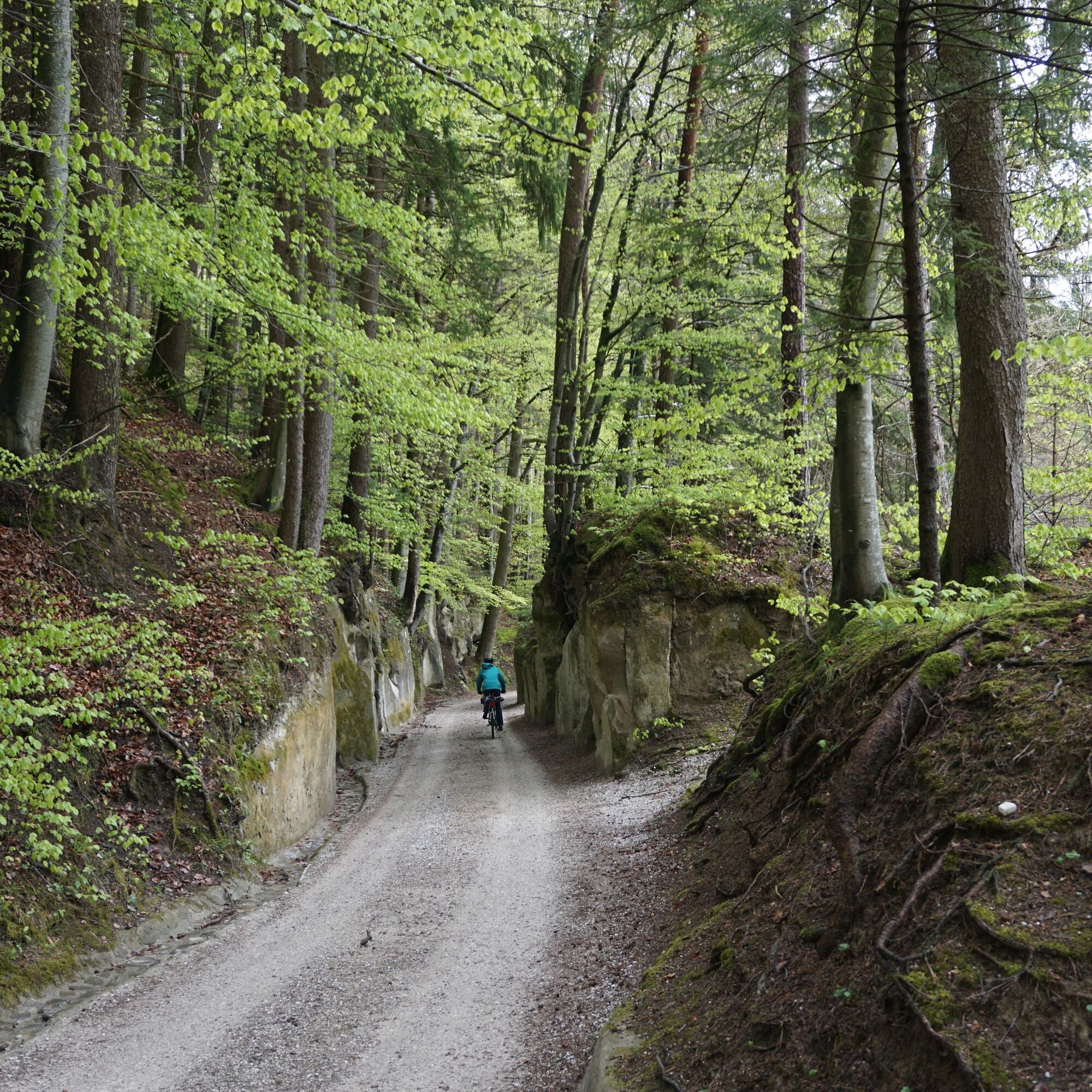
The largest part of the route runs through the Gantrisch Nature Park. The mountain range of the same name has lent its name to the region and the park. From the Bernese 'Chabisland' it goes to Schwarzenburg and over the deep Sense gorge into the canton of Fribourg.

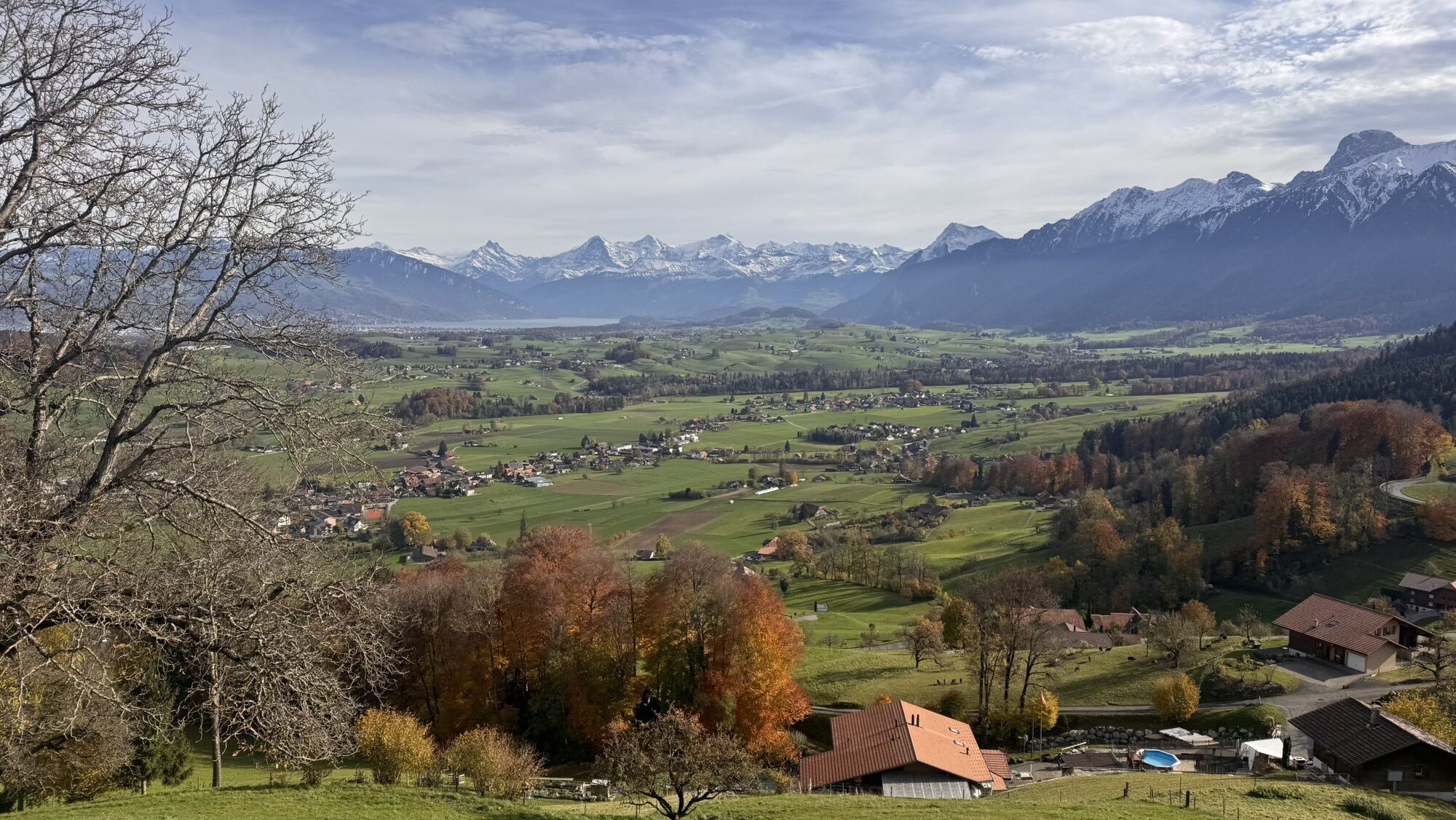
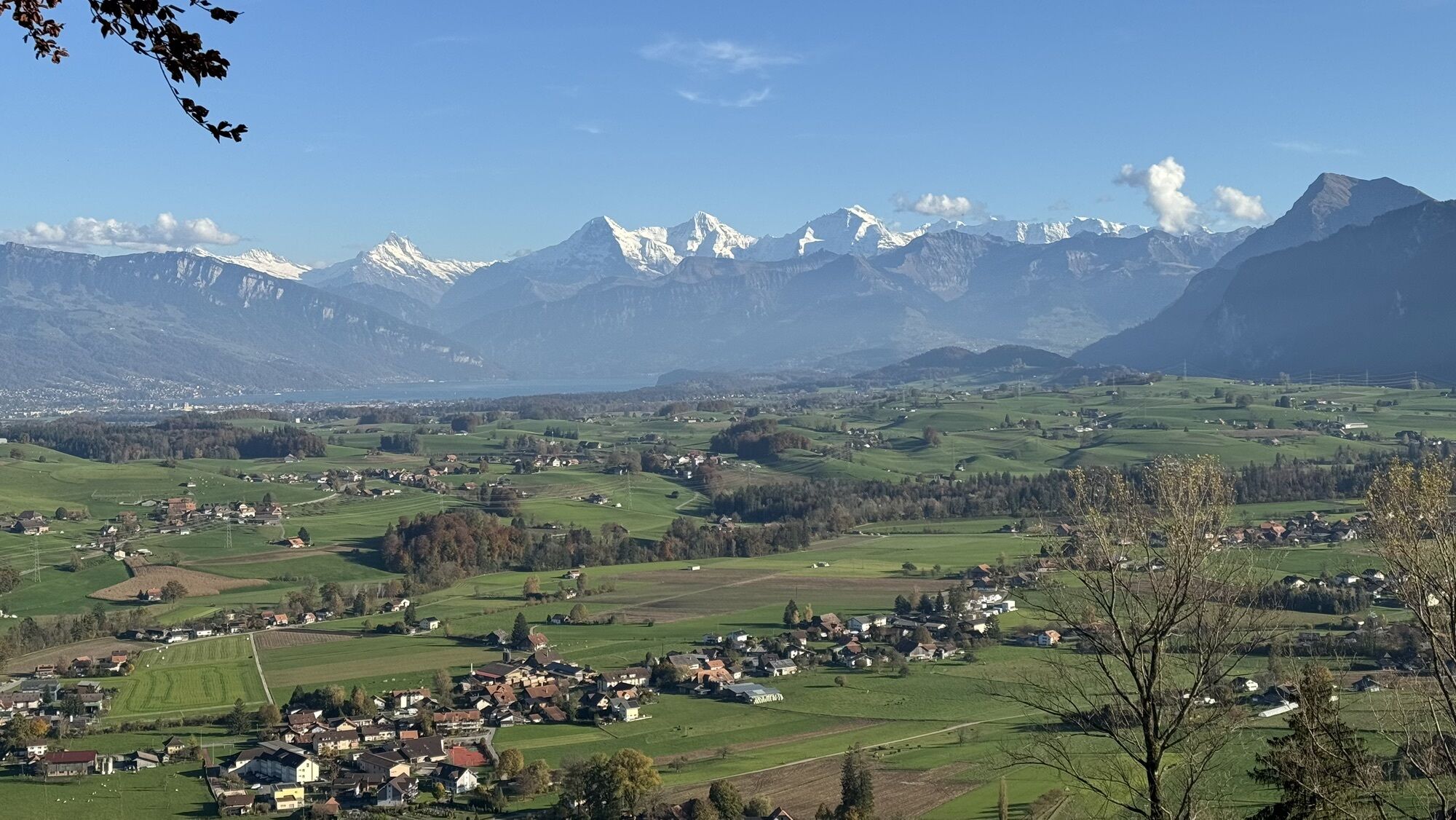
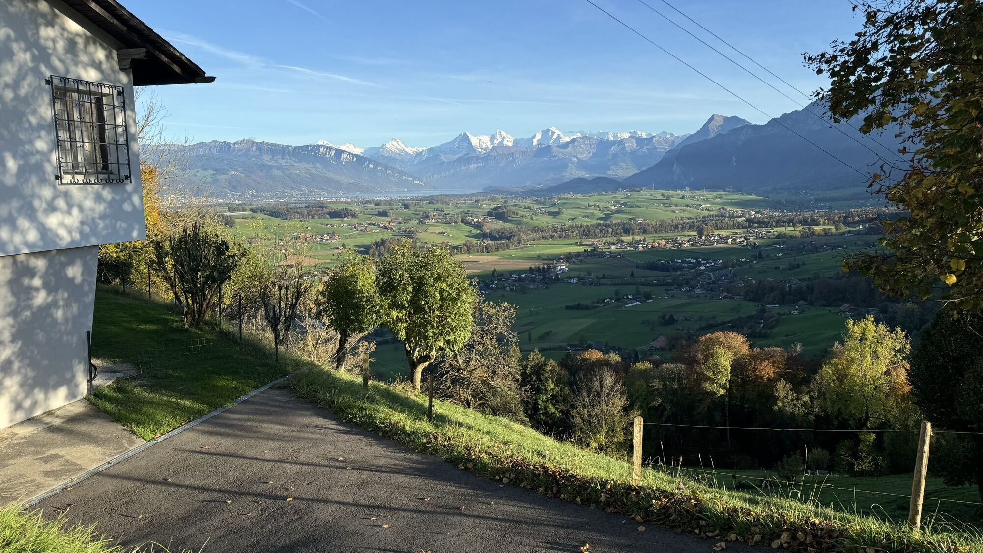
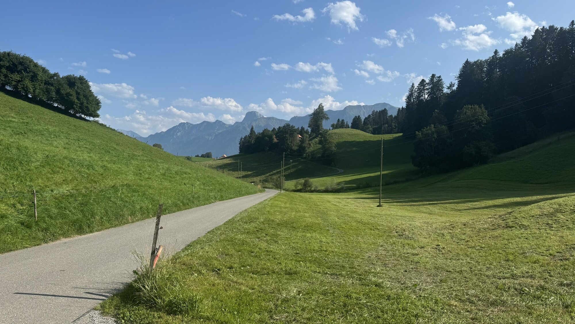
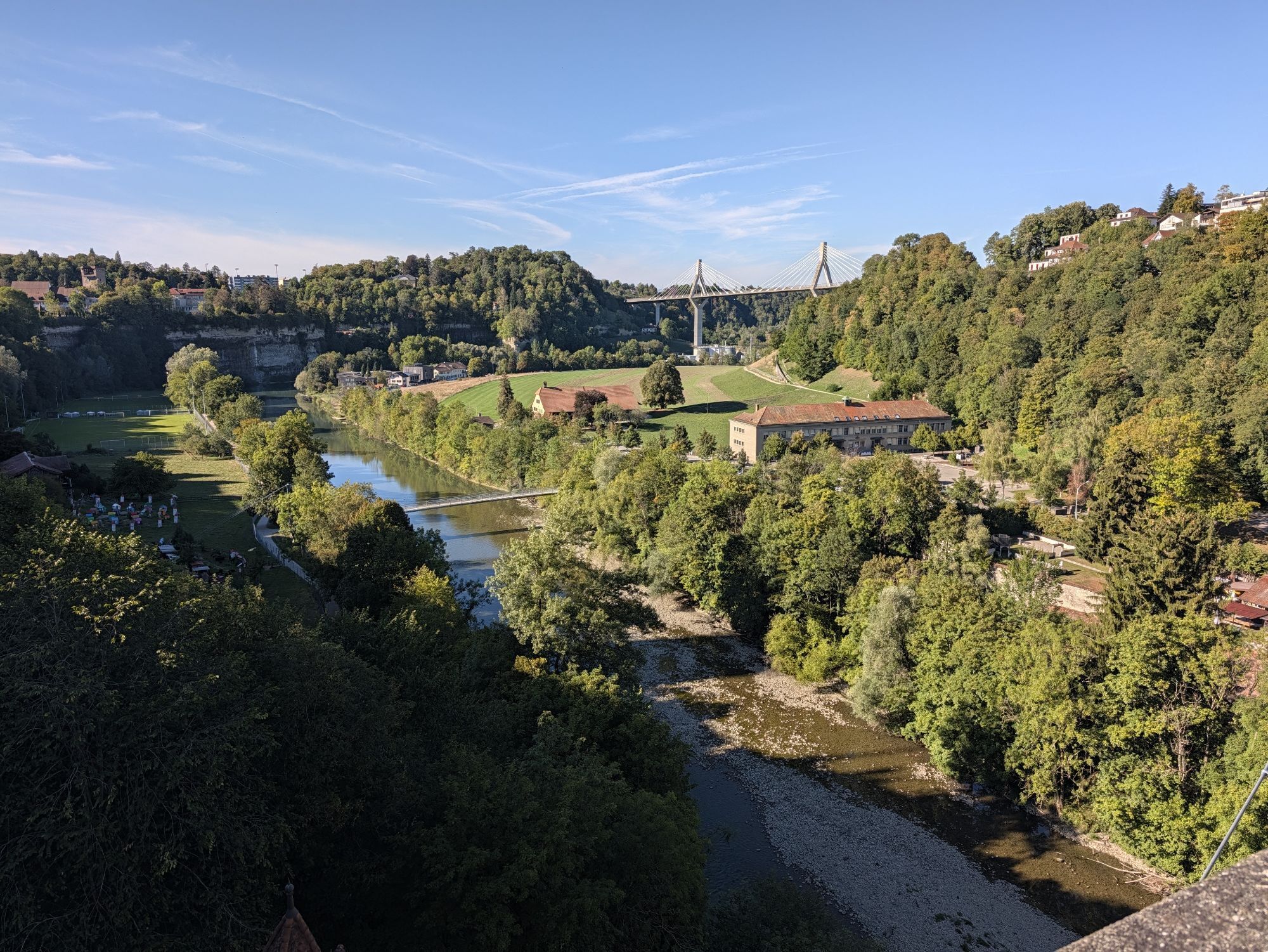
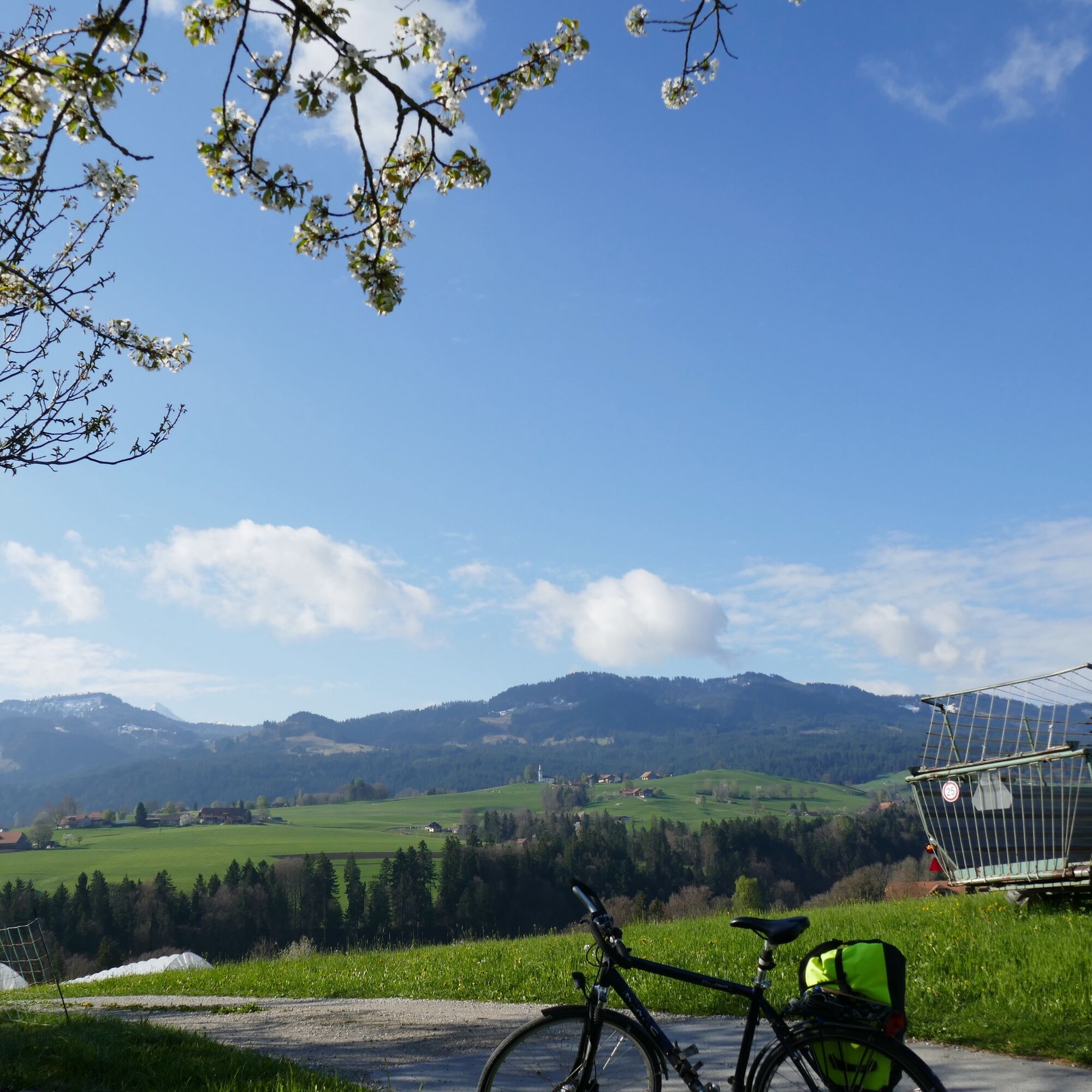
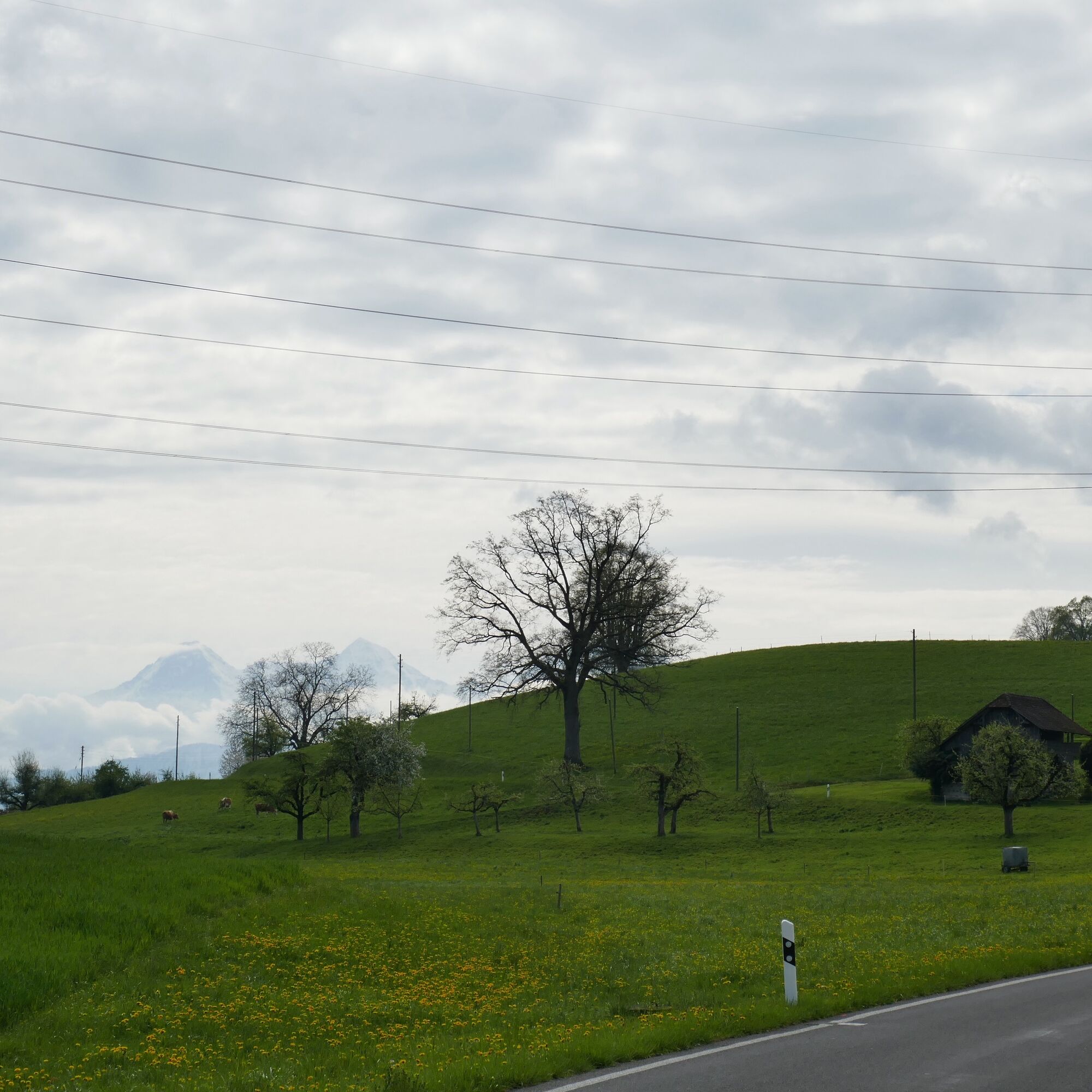
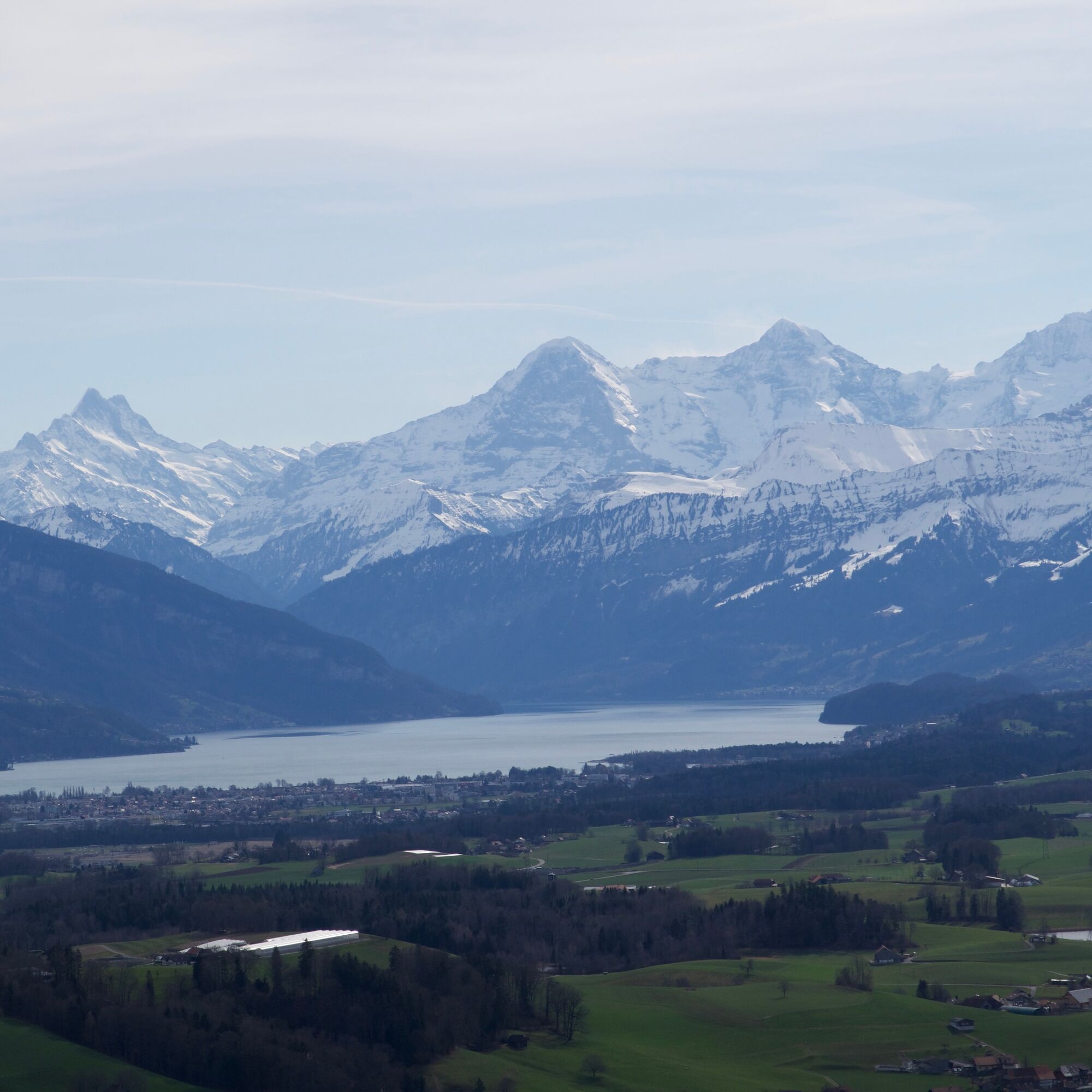
Once the plain of the Gürbetal was an extensive flat moor. At the beginning of the 18th century, the first drainage began; today the 'Chabisland' is the most important cabbage growing area in Switzerland. Enough sauerkraut: the terrain becomes increasingly hilly; in the light of the morning sun, a remarkably shaky row of houses is reflected in the tiny Ditigsee. Also remarkable are the views in the Gantrisch Nature Park: you look at cozy farmhouses and at the legendary Bernese Alpine chain with Finsteraarhorn, Eiger, Mönch, and Jungfrau.

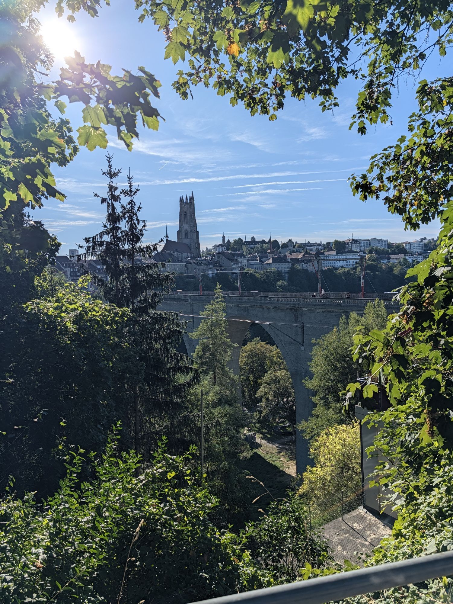
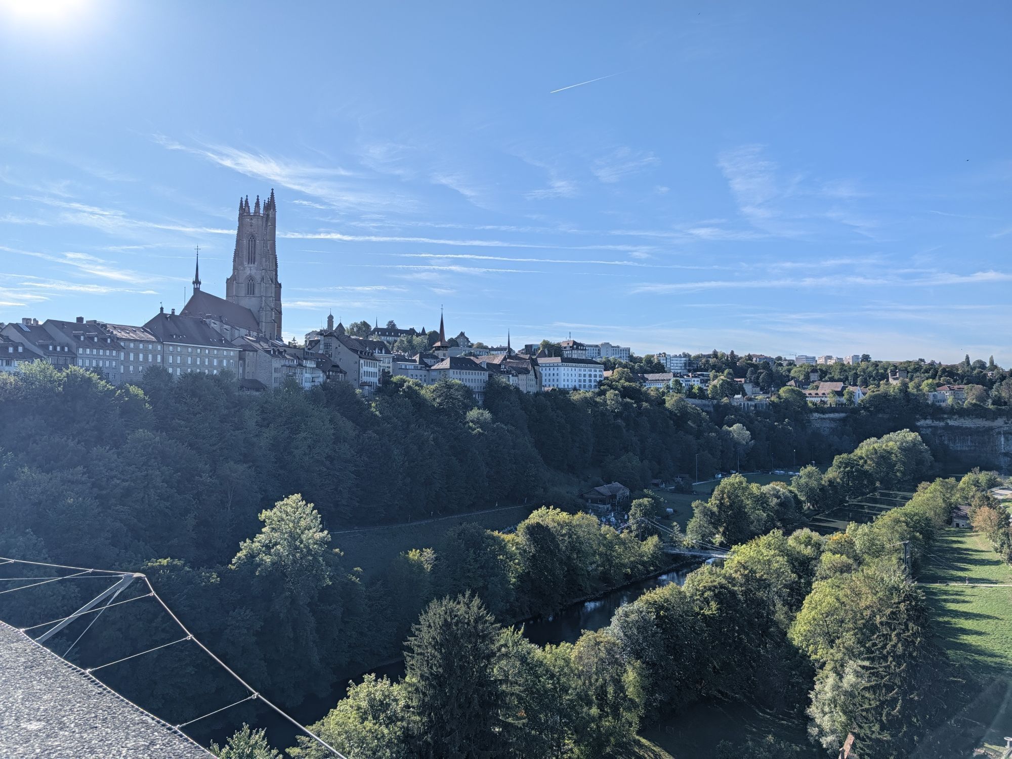
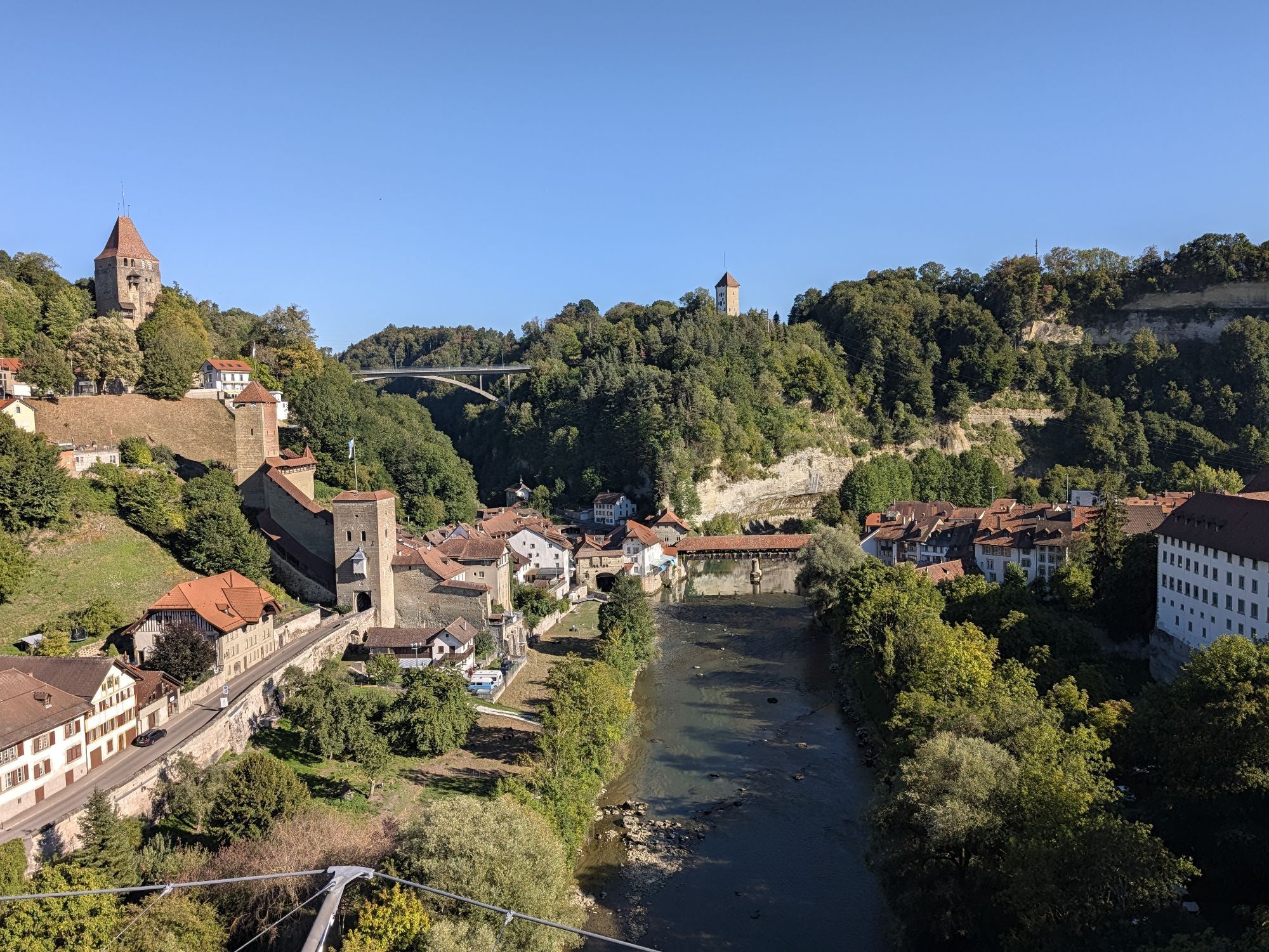
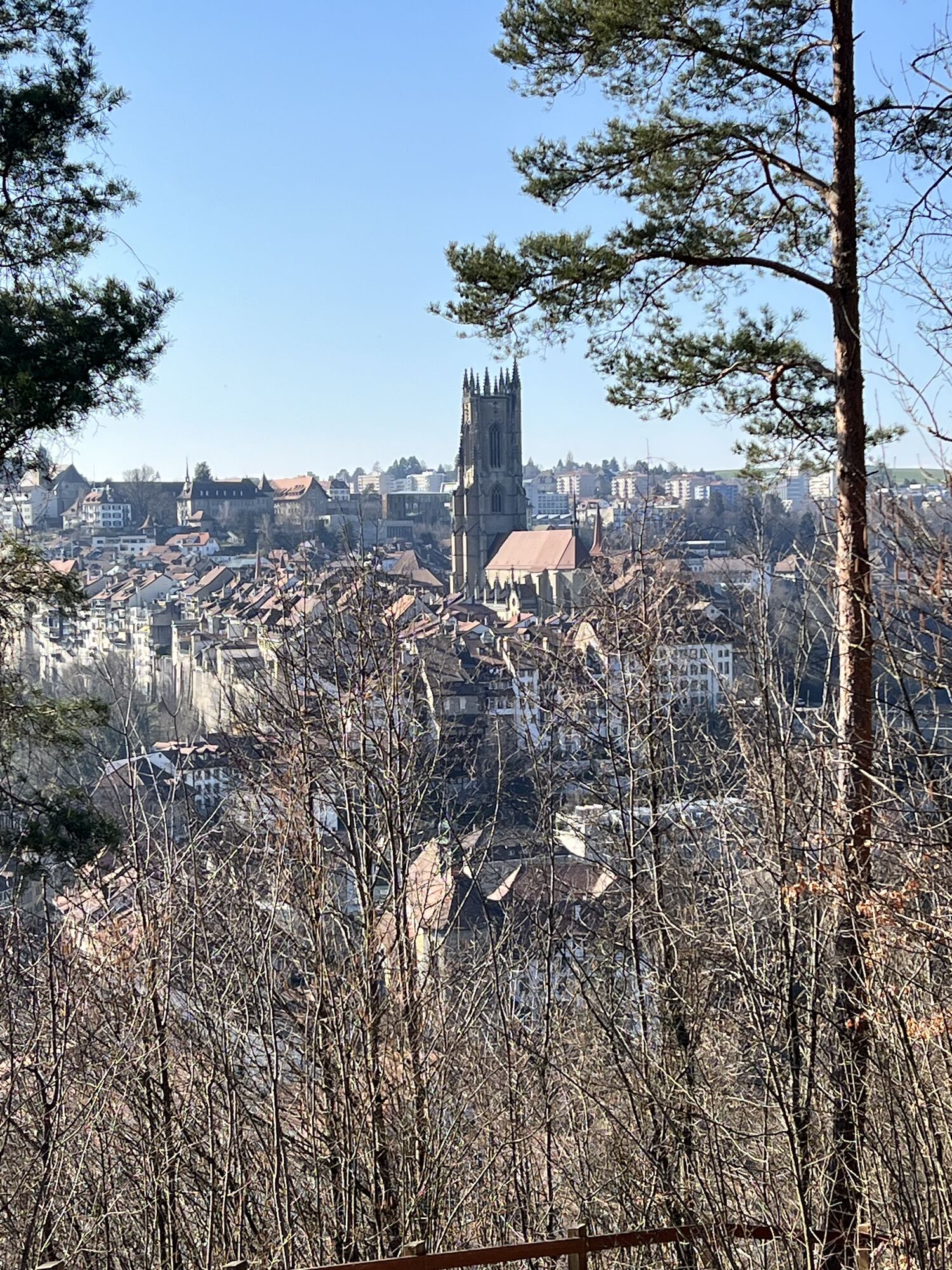
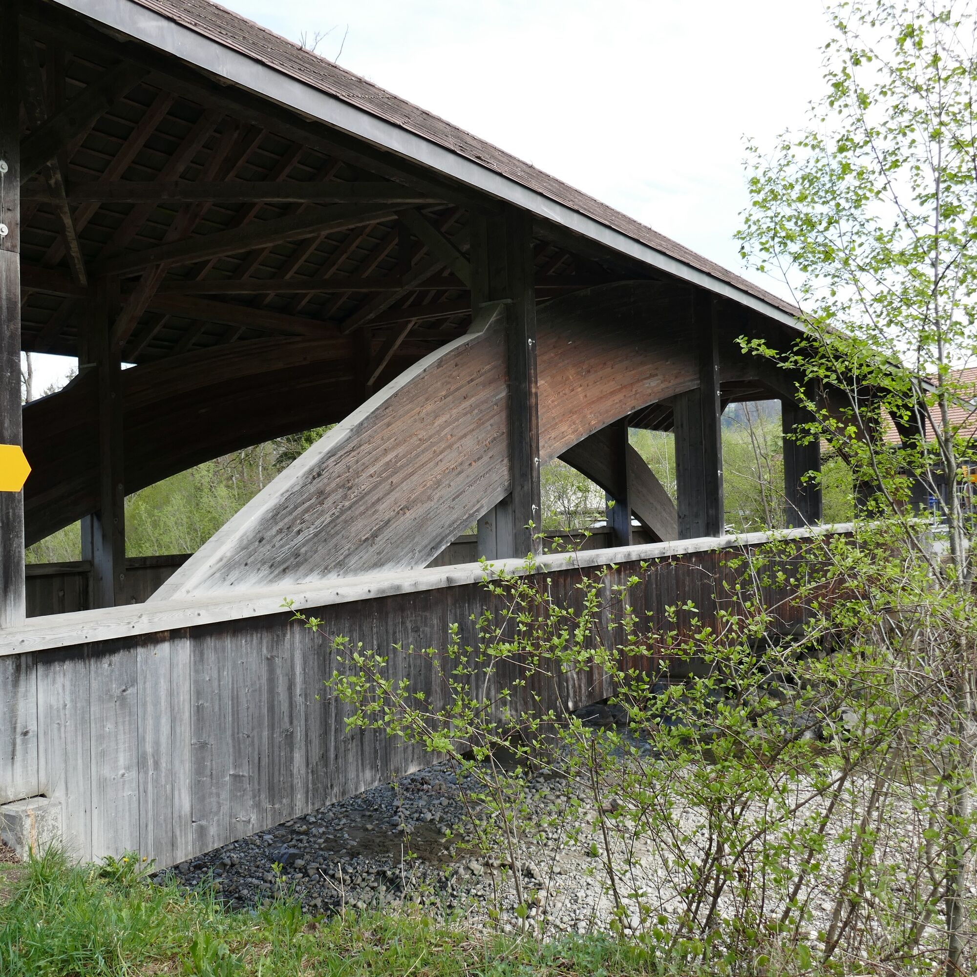
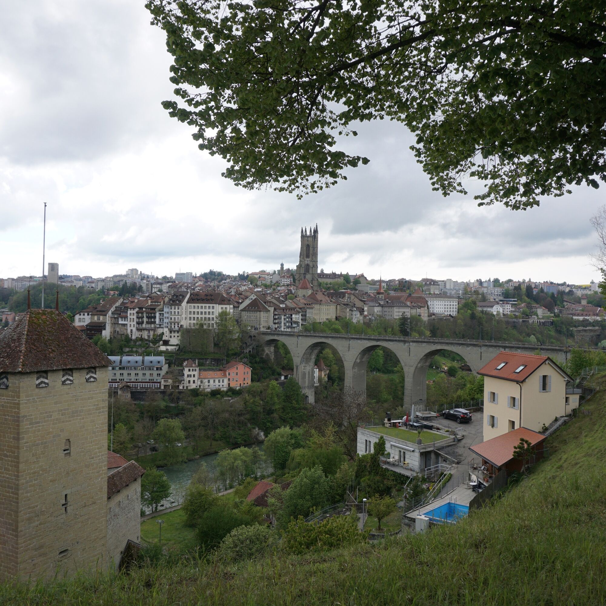
As many as three times you cross the Biberze in the Biberzetäli, once the Schwarzwasser. After an eventful route, the last section leads through the city of Fribourg. Over the Zähringer bridge, through the old town and past the St. Nicholas Cathedral, the path winds up to the station where the route ends. 

Trasa
Thun
(560 m)
Miasto
0,0 km
Längenbühl
(654 m)
Wioska
8,9 km
Kirche Wattenwil
(616 m)
Miejsce kultu
13,3 km
Rüschegg-Graben
(740 m)
Wioska
24,4 km
Kapelle St. Appolonia
(776 m)
Miejsce kultu
39,5 km
Pfarrkirche St. Martin
(655 m)
Miejsce kultu
45,6 km
Eglise Evangélique - Espace Rencontre
(658 m)
Miejsce kultu
51,0 km
Trasa
Mapa
Alpine panorama route stage 6 (SchweizMobil 4)
średni
Jazda na rowerze
54,45 km
Thun
(560 m)
Miasto
0,0 km
Kreuz
(574 m)
Restauracja
1,8 km
Allmendingen
(574 m)
Sąsiedztwo
1,9 km
Restaurant Bären
(567 m)
Restauracja
5,2 km
Thierachern
(610 m)
Wioska
5,2 km
Restaurant Löwen
(609 m)
Restauracja
5,9 km
Eyacher
(650 m)
Korytarz/teren
7,8 km
Weiermatt
(654 m)
Rozliczenie
8,4 km
Wase
(664 m)
Korytarz/teren
8,5 km
Bim Türli
(662 m)
Rozliczenie
8,6 km
Hirschiguet
(665 m)
Rozliczenie
8,6 km
Längenbühl
(654 m)
Wioska
8,9 km
Hattige
(658 m)
Korytarz/teren
9,5 km
Grizzlybär
(663 m)
Restauracja
9,5 km
Halte
(652 m)
Korytarz/teren
10,0 km
Seematt
(661 m)
Sąsiedztwo
10,1 km
Chalbermoos
(663 m)
Sąsiedztwo
10,1 km
Bim Bach
(654 m)
Sąsiedztwo
10,2 km
Dittligegg
(664 m)
Sąsiedztwo
10,2 km
Dittlige
(663 m)
Sąsiedztwo
10,4 km
Mühle
(651 m)
Korytarz/teren
10,4 km
Wolfrichti
(638 m)
Korytarz/teren
10,7 km
Längmoos
(621 m)
Korytarz/teren
11,0 km
Wattenwil
(603 m)
Wioska
13,1 km
Kirche Wattenwil
(616 m)
Miejsce kultu
13,3 km
Grund
(876 m)
Korytarz/teren
16,7 km
Stalden
(843 m)
Rozliczenie
18,4 km
Wegweid
(836 m)
Korytarz/teren
19,1 km
Neuhaus
(834 m)
Rozliczenie
19,4 km
Beim Schulhaus
(827 m)
Korytarz/teren
19,6 km
Rüti bei Riggisberg
(828 m)
Wioska
19,9 km
Dörfli
(827 m)
Sąsiedztwo
20,3 km
Untere Rüti
(817 m)
Korytarz/teren
20,6 km
Laueli
(819 m)
Korytarz/teren
20,9 km
Rütiplötsch
(750 m)
Korytarz/teren
23,7 km
Rüschegg-Graben
(740 m)
Wioska
24,4 km
Gasthof Bären
(741 m)
Restauracja
24,4 km
Graben
(743 m)
Sąsiedztwo
24,4 km
Schlegeli
(805 m)
Korytarz/teren
25,3 km
Lätteren
(832 m)
Korytarz/teren
26,1 km
Hinterfeld
(816 m)
Korytarz/teren
28,0 km
Mamishaus
(797 m)
Rozliczenie
29,3 km
Schönentanne
(802 m)
Rozliczenie
30,9 km
Schönentanne
(802 m)
Restauracja
31,2 km
Schwarzenburg
(792 m)
Stacja kolejowa
32,9 km
Schwarzenburg
(792 m)
Wioska
33,0 km
Sodbach
(657 m)
Restauracja
35,9 km
Heitenried
(762 m)
Wioska
37,4 km
Winterlingen
(766 m)
Rozliczenie
39,3 km
Kapelle St. Appolonia
(776 m)
Miejsce kultu
39,5 km
Reformierte Kirche St. Antoni
(739 m)
Miejsce kultu
41,1 km
Sankt Antoni
(715 m)
Wioska
41,5 km
Kirche St. Antoni
(718 m)
Miejsce kultu
41,6 km
Weissenbach
(654 m)
Rozliczenie
42,4 km
Kapelle Weissenbach St. Sebastian
(647 m)
Miejsce kultu
42,6 km
Spielplatz Schule Tafers
(652 m)
Plac zabaw
45,5 km
Pfarrkirche St. Martin
(655 m)
Miejsce kultu
45,6 km
Tafers
(651 m)
Wioska
45,6 km
Maggenberg
(652 m)
Restauracja
46,0 km
Ameismühle
(614 m)
Rozliczenie
47,3 km
Schürmatt
(655 m)
Rozliczenie
47,6 km
Balterswil
(668 m)
Rozliczenie
48,0 km
Tasberg
(659 m)
Rozliczenie
48,7 km
Römerswil
(699 m)
Rozliczenie
49,5 km
Notre-Dame de Bourguillon
(656 m)
Miejsce kultu
51,0 km
Restaurant Des Trois Tours
(654 m)
Restauracja
51,0 km
Eglise Evangélique - Espace Rencontre
(658 m)
Miejsce kultu
51,0 km
Bourguillon/Bürglen
(668 m)
Rozliczenie
51,1 km
Auge
(537 m)
Sąsiedztwo
51,6 km
Foto-Spot Fribourg
(606 m)
Punkt widzenia
51,7 km
Basilique Notre-Dame / Liebfrauenkirche
(587 m)
Miejsce kultu
52,9 km
Fribourg
(610 m)
Miasto
53,0 km
La Table du Bourg
(592 m)
Stół piknikowy
53,1 km
Bourg
(612 m)
Sąsiedztwo
53,1 km
Neuveville
(549 m)
Sąsiedztwo
53,2 km
Temple réformé
(620 m)
Miejsce kultu
53,6 km
Informacje o wycieczce

From the beautiful Lake Thun to Fribourg leads the stage of the Alpine panorama route. Views of the Bernese and Fribourg Alps can be enjoyed, as well as the repeated crossing of the Sense gorge offering a unique experience.

Technologia
2 / 6
Stan
3 / 6
Krajobraz
n.d.
Doświadczenie
n.d.
Najlepsza pora roku
Sty
Lut
Mar
Kwi
Maj
Cze
Lip
Sie
Wrz
Paź
Lis
Gru
Udostępnij trasę
Mapa
Alpine panorama route stage 6 (SchweizMobil 4)
średni
Jazda na rowerze
54,45 km
Błąd
Wystąpił błąd. Spróbuj ponownie.
Wędrówki i tropienie

Wędrówki i tropienie

Wędrówki i tropienie
Ponad 550.000 propozycji wycieczek, szczegółowe mapy i intuicyjny planer tras sprawiają, że aplikacja jest niezbędna dla wszystkich entuzjastów przyrody.
bergfex