Nawigacja
Pobierz tę trasę na swój telefon komórkowy
Mapa
Bern-South route (SchweizMobil 37)

średni
Jazda na rowerze
69,29 km
Zeskanuj kod QR i rozpocznij nawigację w aplikacji bergfex.
QR Code
Wędrówki i tropienie
Pobierz dla iOS
Pobierz dla systemu Android

Bern-South route (SchweizMobil 37)

średni
Jazda na rowerze
Odległość
69,3 km
Czas trwania
05:15 h
Ascent
800 hm
Poziom morza
522 - 1 118 m

Poziom trudności: 2

Ścieżka do pobrania
Mapa
Bern-South route (SchweizMobil 37)
średni
Jazda na rowerze
69,29 km

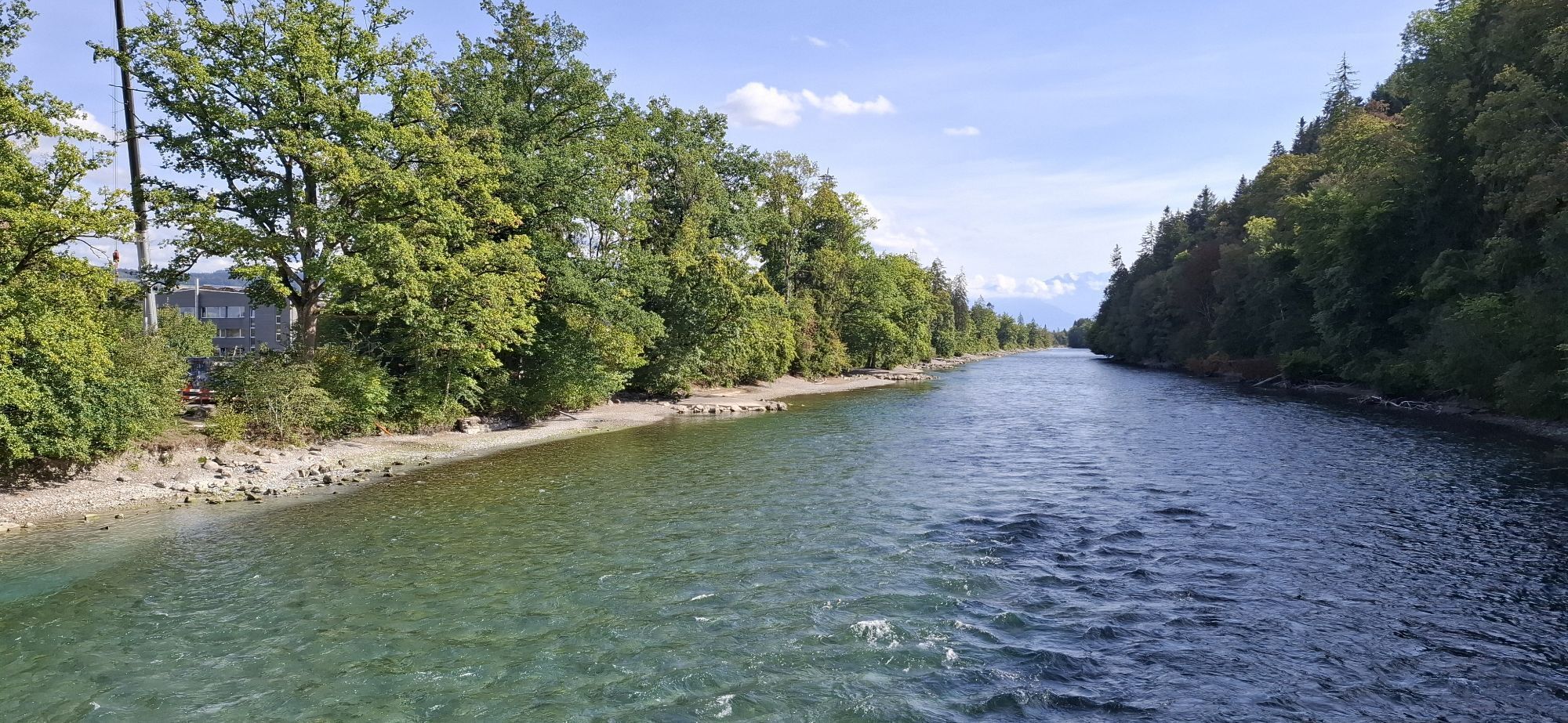
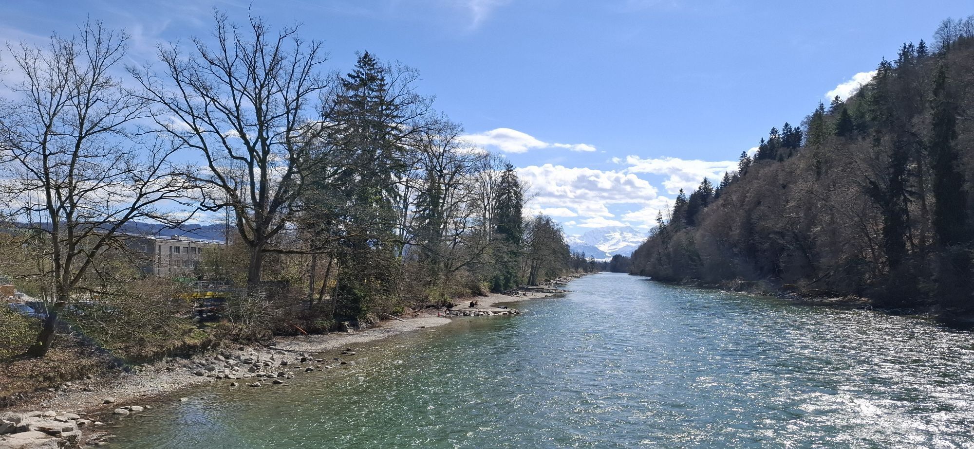
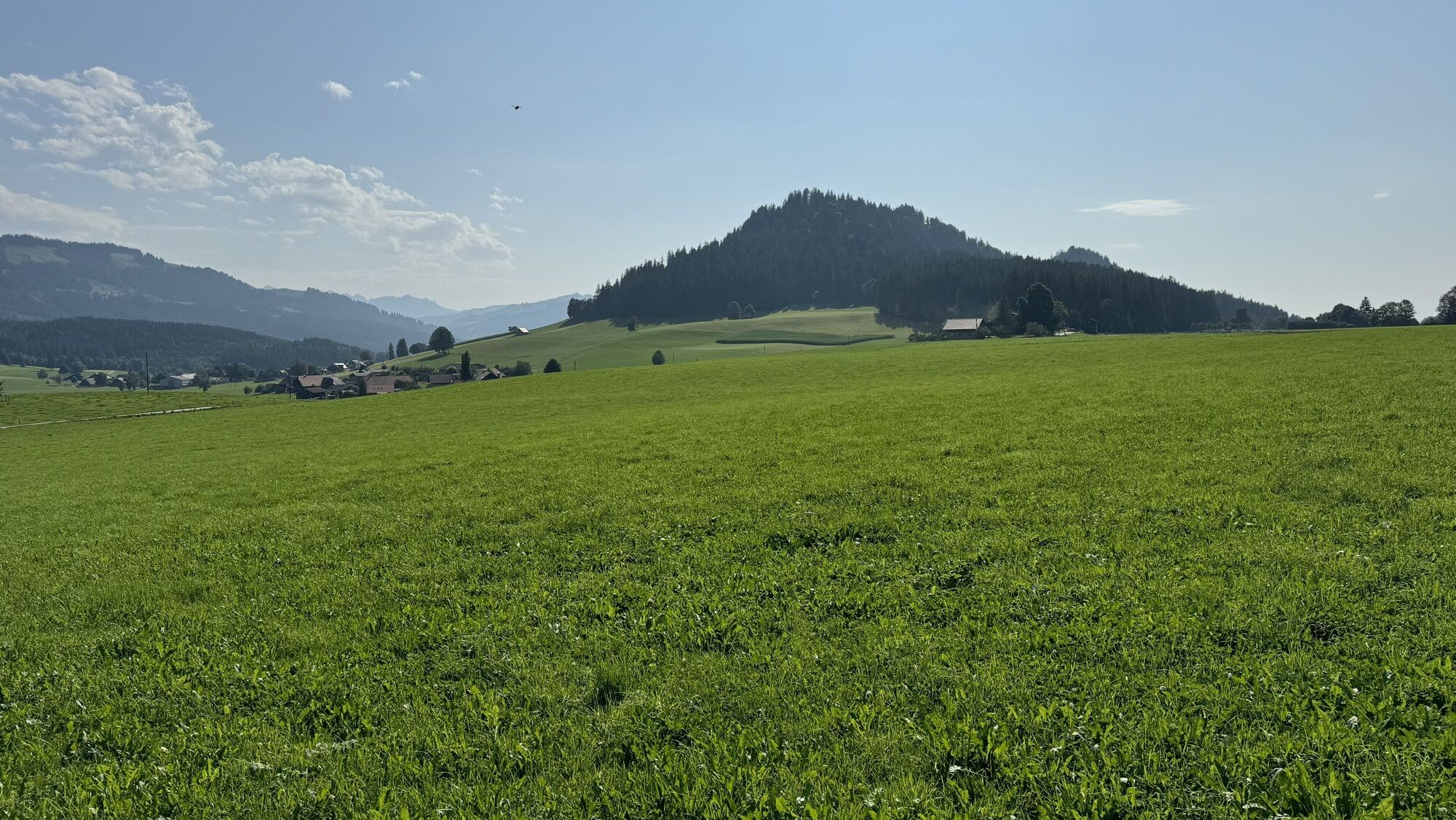
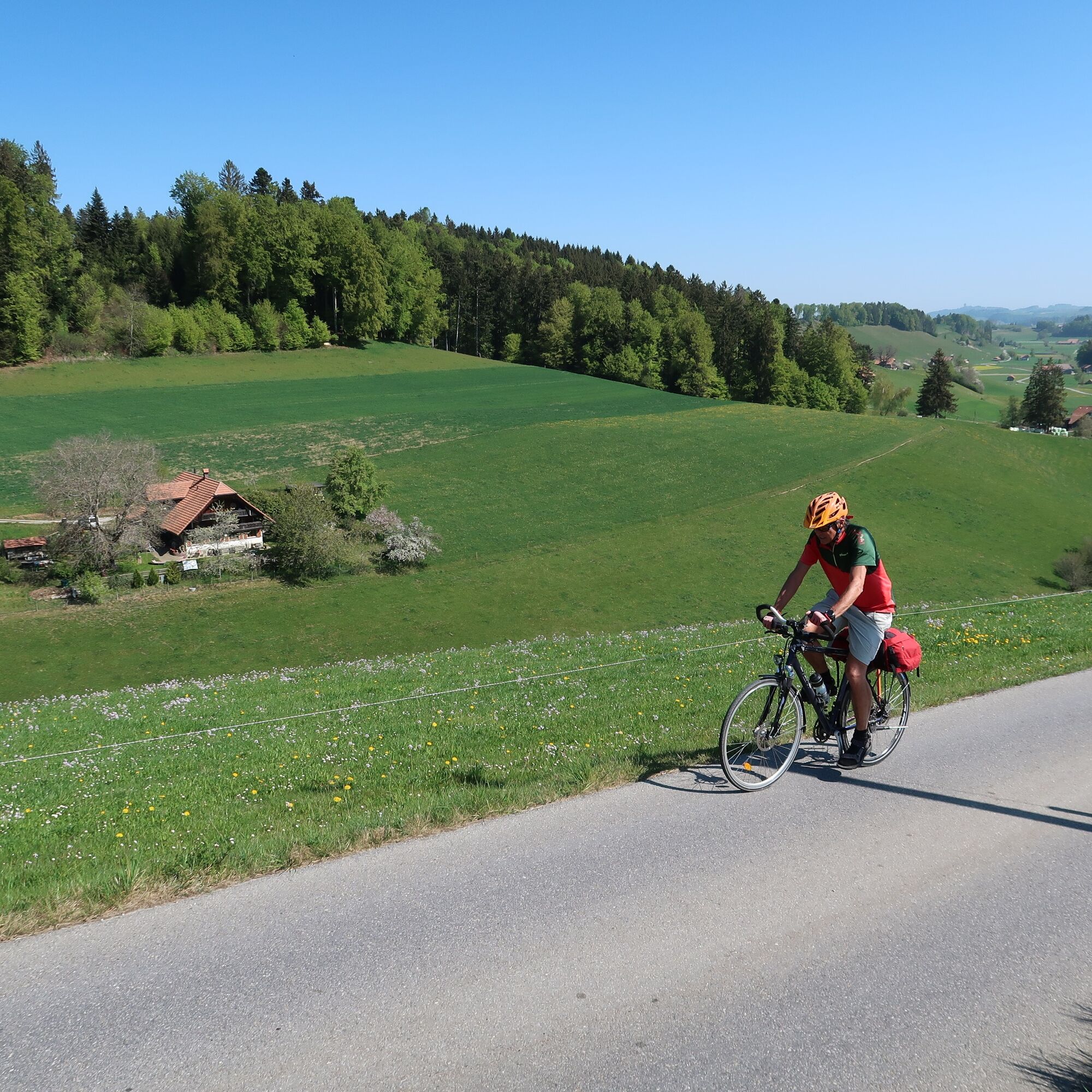
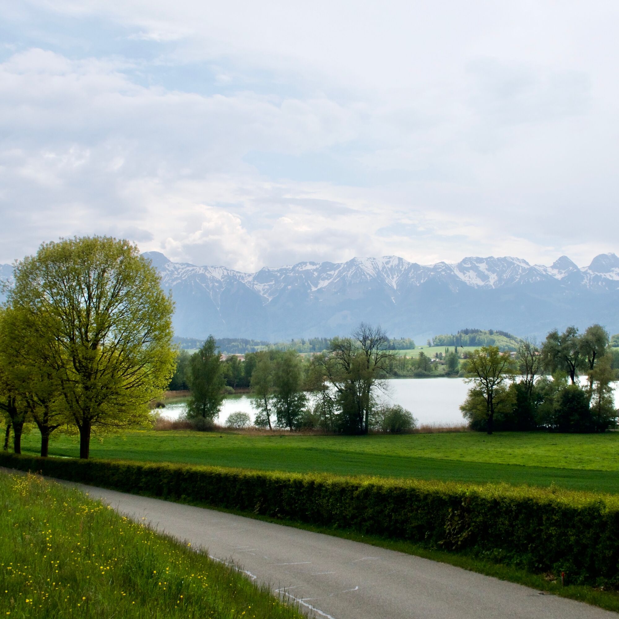
Secretly, the Bern route twists and winds far around the city of Bern and shows recreational landscapes outside the large agglomerations.

From Schwarzenburg into the homeland of "Vreneli ab em Guggisberg."...

Opis

Secretly, the Bern route twists and winds far around the city of Bern and shows recreational landscapes outside the large agglomerations.

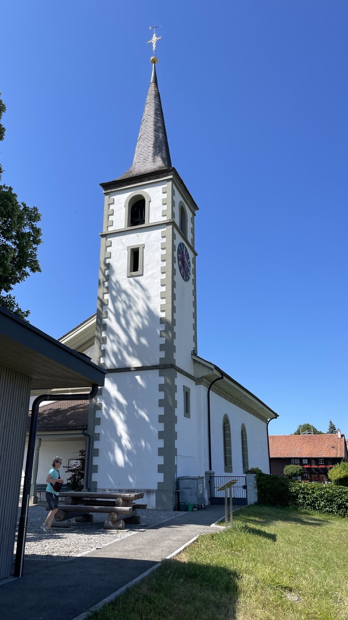
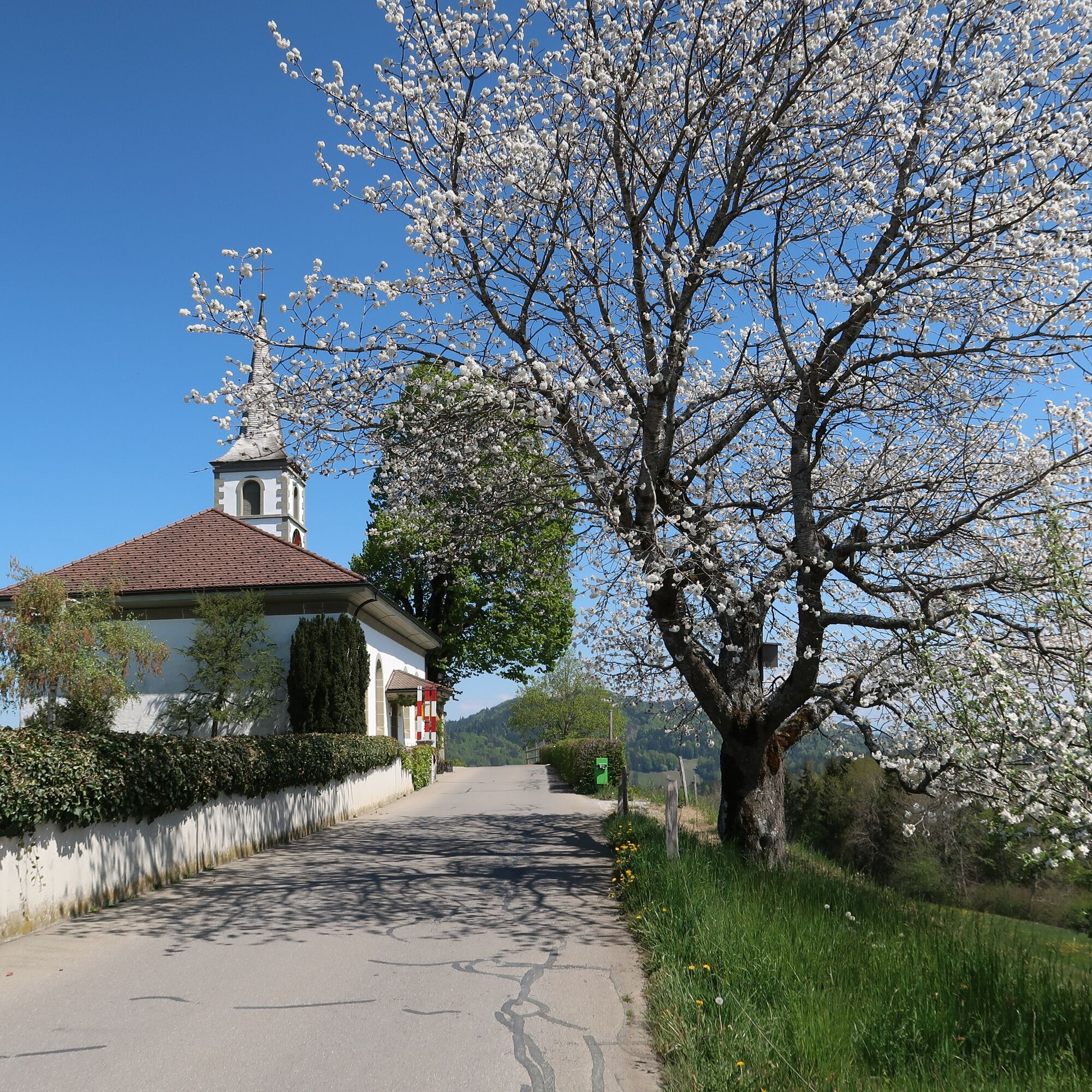
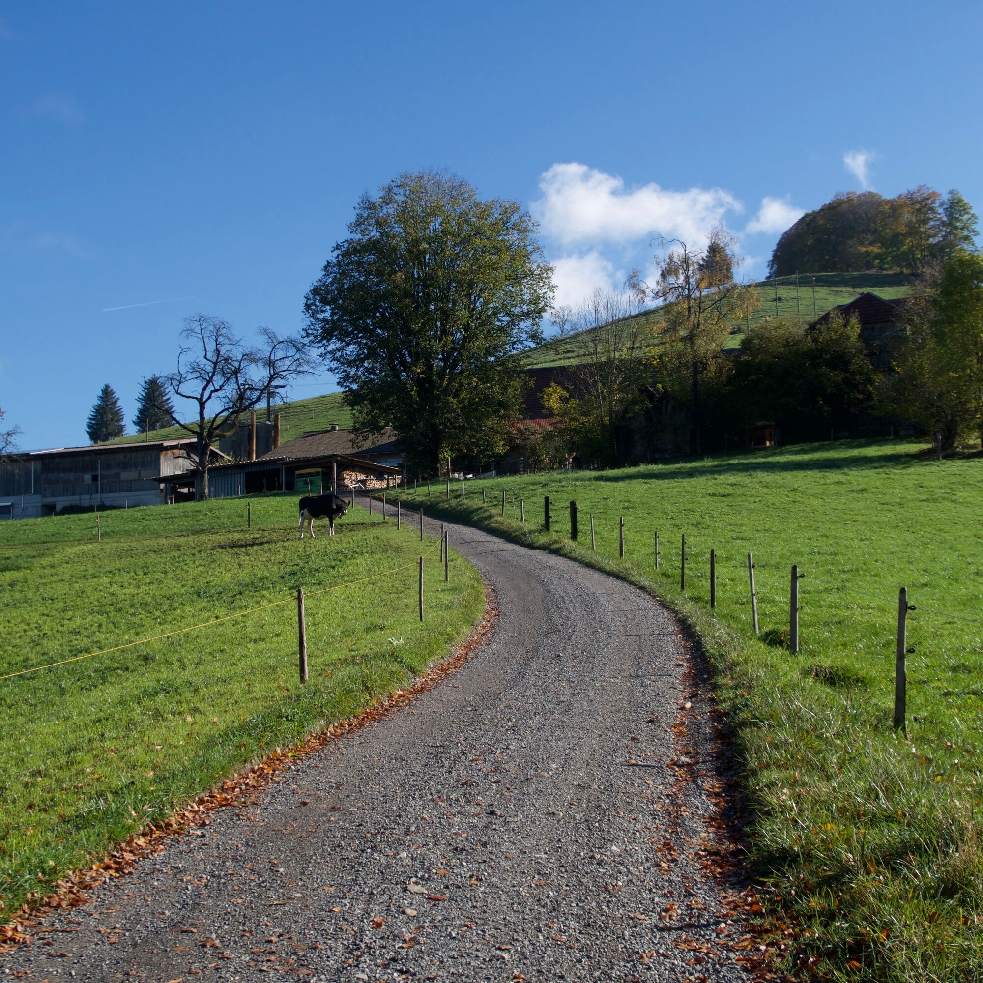
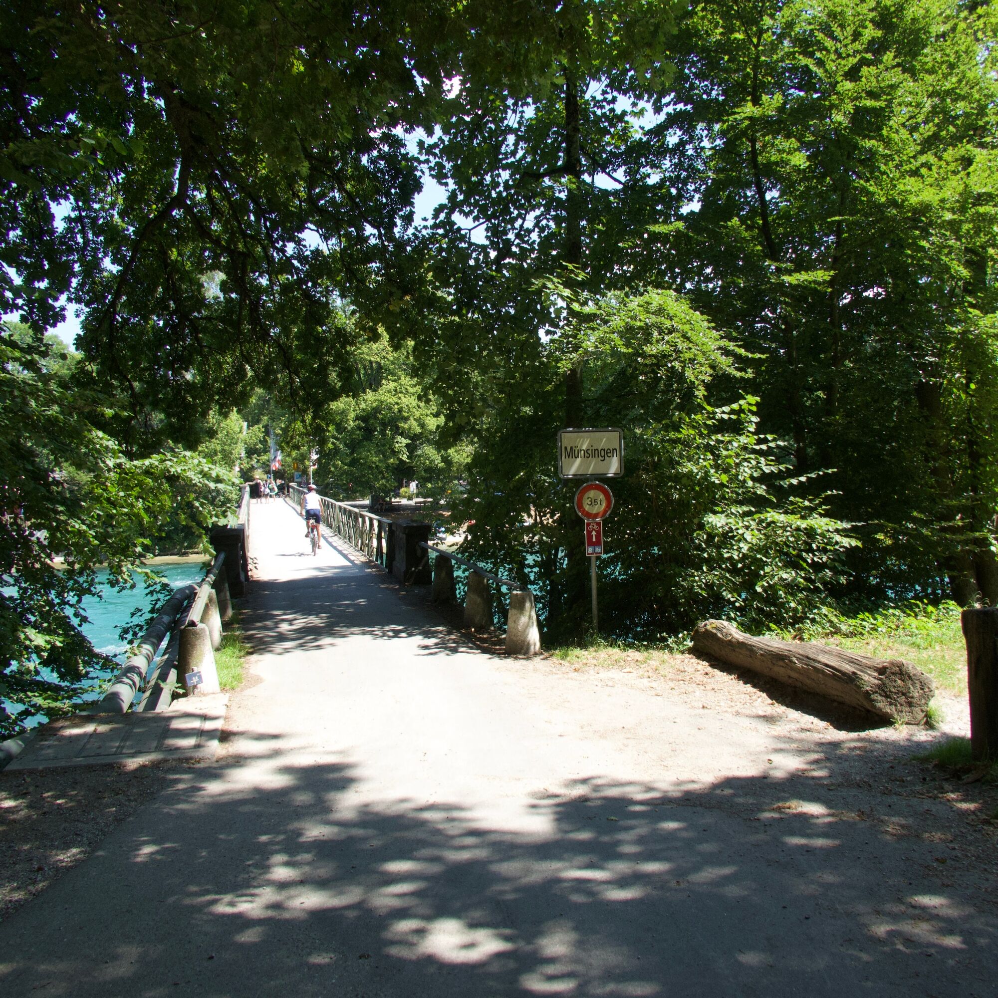
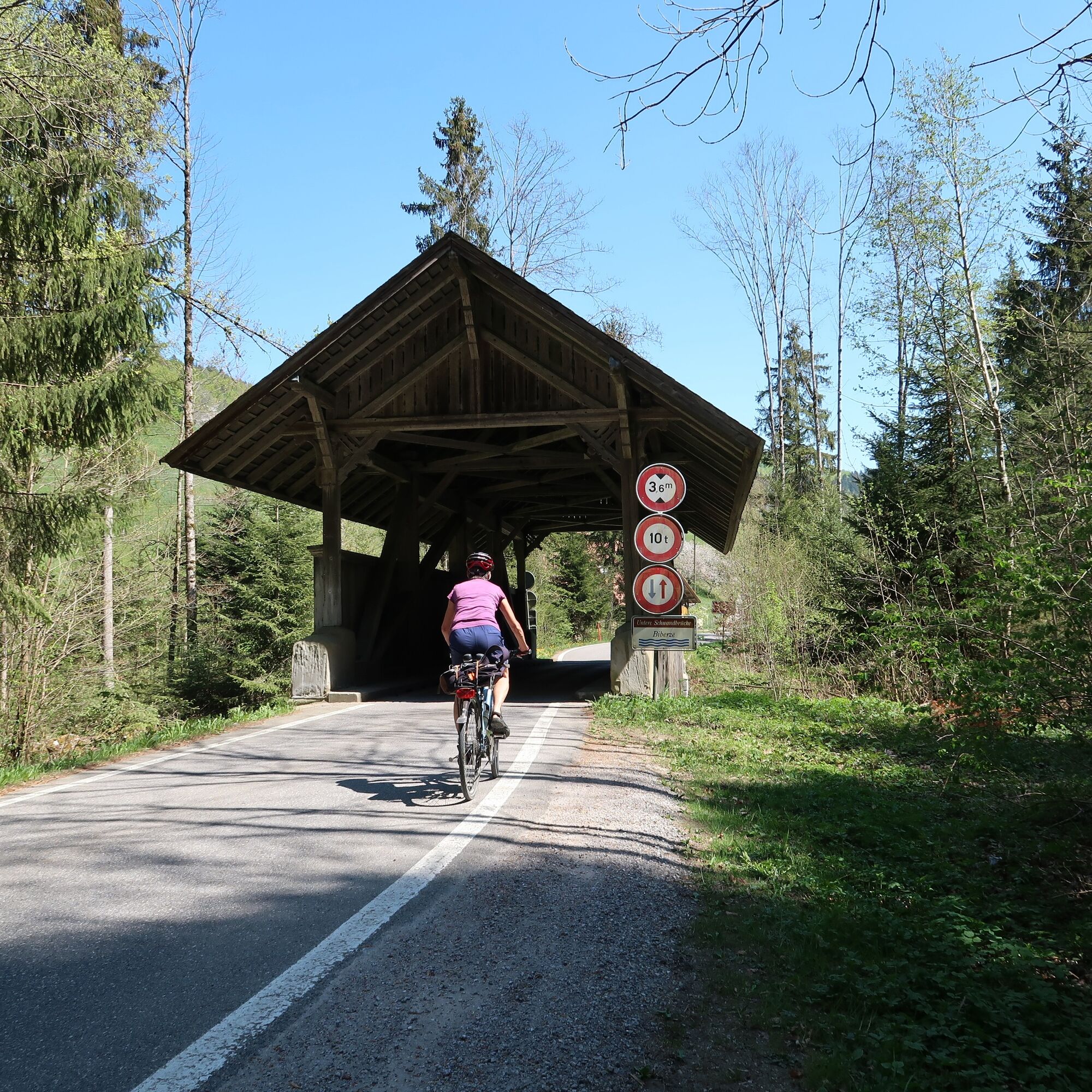
From Schwarzenburg into the homeland of "Vreneli ab em Guggisberg." Around the Guggershorn it goes to Rüschegg-Graben. From the trench of the Biberze along the Gibelegg to Riggisberg, where the Abegg Foundation displays fascinating textile art - however, you are not allowed to touch the precious old fabrics. From Längenberg, the route descends into the "Chabisland," the Gürbetal, and immediately climbs again up to Belpberg, to the idyllic Gerzensee, a "führnehmen" (noble) oasis of peace with incomparable distant views. And then follows a brisk descent to the green-blue waters of the Aare. The thriving residential community of Münsingen is crossed to then target the oldest settlements of the Aare valley.

In the former marsh area of the Trimstein moor, the yellowhammer sings and the meadowsweet spreads its sensual honey scent.

Trasa
Chäppeli
(800 m)
Miejsce kultu
0,2 km
Riffenmatt
(1 077 m)
Wioska
10,4 km
Reformierte Kirche
(938 m)
Miejsce kultu
17,1 km
Giebelegg
(812 m)
Rozliczenie
21,7 km
Kirche Kirchdorf
(614 m)
Miejsce kultu
39,8 km
Worb
(585 m)
Miasto
55,5 km
The french Church
(540 m)
Miejsce kultu
67,6 km
Trasa
Mapa
Bern-South route (SchweizMobil 37)
średni
Jazda na rowerze
69,29 km
Schwarzenburg
(792 m)
Wioska
0,1 km
Chäppeli
(800 m)
Miejsce kultu
0,2 km
Dorf
(958 m)
Sąsiedztwo
5,2 km
Riedstätt
(956 m)
Rozliczenie
5,3 km
Blumengarten
(1 034 m)
Korytarz/teren
6,5 km
Kalchstätten
(1 025 m)
Wioska
6,7 km
Kirchhalten
(1 033 m)
Korytarz/teren
7,3 km
Sand
(1 083 m)
Korytarz/teren
8,1 km
Dorf
(1 113 m)
Sąsiedztwo
8,8 km
Guggisberg
(1 115 m)
Wioska
8,8 km
Ried
(1 106 m)
Korytarz/teren
9,5 km
Ried
(1 114 m)
Korytarz/teren
9,7 km
Zossi
(1 124 m)
Korytarz/teren
9,7 km
Marchli
(1 112 m)
Korytarz/teren
9,7 km
Guggisbergstrasse
(1 090 m)
Korytarz/teren
10,3 km
Riffenmatt
(1 077 m)
Wioska
10,4 km
Dorf
(1 076 m)
Sąsiedztwo
10,4 km
Kappelen
(1 088 m)
Rozliczenie
10,5 km
Kappelenfeld
(1 090 m)
Korytarz/teren
10,8 km
Schwendi
(1 090 m)
Rozliczenie
11,1 km
Bühl
(1 101 m)
Korytarz/teren
11,9 km
Bühlweid
(1 102 m)
Korytarz/teren
12,4 km
Harris
(1 051 m)
Korytarz/teren
13,0 km
Gambachstöck
(1 042 m)
Korytarz/teren
13,3 km
Gräbli
(972 m)
Korytarz/teren
14,3 km
Gummen
(955 m)
Korytarz/teren
14,6 km
Rüschegg Gambach
(884 m)
Wioska
15,5 km
Hirschhorn
(893 m)
Korytarz/teren
16,2 km
Oberhirschhorn
(912 m)
Korytarz/teren
16,3 km
Rüschegg
(932 m)
Rozliczenie
16,8 km
Reformierte Kirche
(938 m)
Miejsce kultu
17,1 km
Gfell
(879 m)
Rozliczenie
17,8 km
Aspenschürli
(834 m)
Korytarz/teren
18,3 km
Hundsrück
(824 m)
Korytarz/teren
18,4 km
Aspen
(804 m)
Korytarz/teren
18,6 km
Rüschegg-Graben
(740 m)
Wioska
19,1 km
Graben
(743 m)
Sąsiedztwo
19,2 km
Gasthof Bären
(741 m)
Restauracja
19,3 km
Rütiplötsch
(750 m)
Korytarz/teren
19,8 km
Giebelegg
(812 m)
Rozliczenie
21,7 km
Stutz
(821 m)
Korytarz/teren
24,9 km
Restaurant Brunnen
(798 m)
Restauracja
27,3 km
Bistro Bosphorus
(765 m)
Restauracja
27,9 km
Riggisberg
(762 m)
Wioska
28,1 km
Rümligen
(606 m)
Wioska
31,5 km
Restaurant zum Schwanen
(608 m)
Restauracja
31,7 km
Kaufdorf
(560 m)
Wioska
32,5 km
Linde
(550 m)
Restauracja
32,5 km
Restaurant Bahnhof
(534 m)
Restauracja
32,8 km
Mühlethurnen
(573 m)
Wioska
35,5 km
Kirchdorf BE
(611 m)
Wioska
39,6 km
Kirche Kirchdorf
(614 m)
Miejsce kultu
39,8 km
Münsingen
(531 m)
Stacja kolejowa
47,5 km
Münsingen
(541 m)
Miasto
47,8 km
Schulhaus Sonnhalde
(554 m)
Plac zabaw
48,1 km
Stückern
(645 m)
Korytarz/teren
51,0 km
Bachtelen
(626 m)
Korytarz/teren
51,6 km
Kreuz
(626 m)
Korytarz/teren
52,1 km
Trimstein
(630 m)
Wioska
52,4 km
Niederhaus
(607 m)
Sąsiedztwo
53,5 km
Hübeli
(627 m)
Rozliczenie
53,7 km
Niederhaus
(609 m)
Korytarz/teren
53,7 km
Gsteig
(625 m)
Sąsiedztwo
54,1 km
Meienhofstatt
(583 m)
Korytarz/teren
55,4 km
Worb
(585 m)
Miasto
55,5 km
Nesselbank
(556 m)
Rozliczenie
58,1 km
Wyler
(556 m)
Sąsiedztwo
59,0 km
Stettlen
(552 m)
Stacja kolejowa
60,3 km
Ostermundigen
(585 m)
Miasto
63,3 km
bimano kids
(558 m)
Plac zabaw
64,8 km
Burgfeld
(563 m)
Sąsiedztwo
64,9 km
Beundenfeld
(562 m)
Sąsiedztwo
64,9 km
Unders Galgefeld
(563 m)
Sąsiedztwo
65,6 km
Spitalacker
(560 m)
Sąsiedztwo
67,2 km
The french Church
(540 m)
Miejsce kultu
67,6 km
Altenberg
(538 m)
Sąsiedztwo
67,7 km
Bern
(542 m)
Miasto
68,0 km
Grünes Quartier
(537 m)
Sąsiedztwo
68,1 km
Old City
(535 m)
Sąsiedztwo
68,1 km
Gelbes Quartier
(541 m)
Sąsiedztwo
68,2 km
EMK Gemeinde Altstadt
(538 m)
Miejsce kultu
68,2 km
EGW Bern-Zentrum
(539 m)
Miejsce kultu
68,4 km
Rotes Quartier
(541 m)
Sąsiedztwo
68,8 km
Bern
(540 m)
Stacja kolejowa
68,8 km
Köniz
(572 m)
Miasto
69,2 km
Informacje o wycieczce

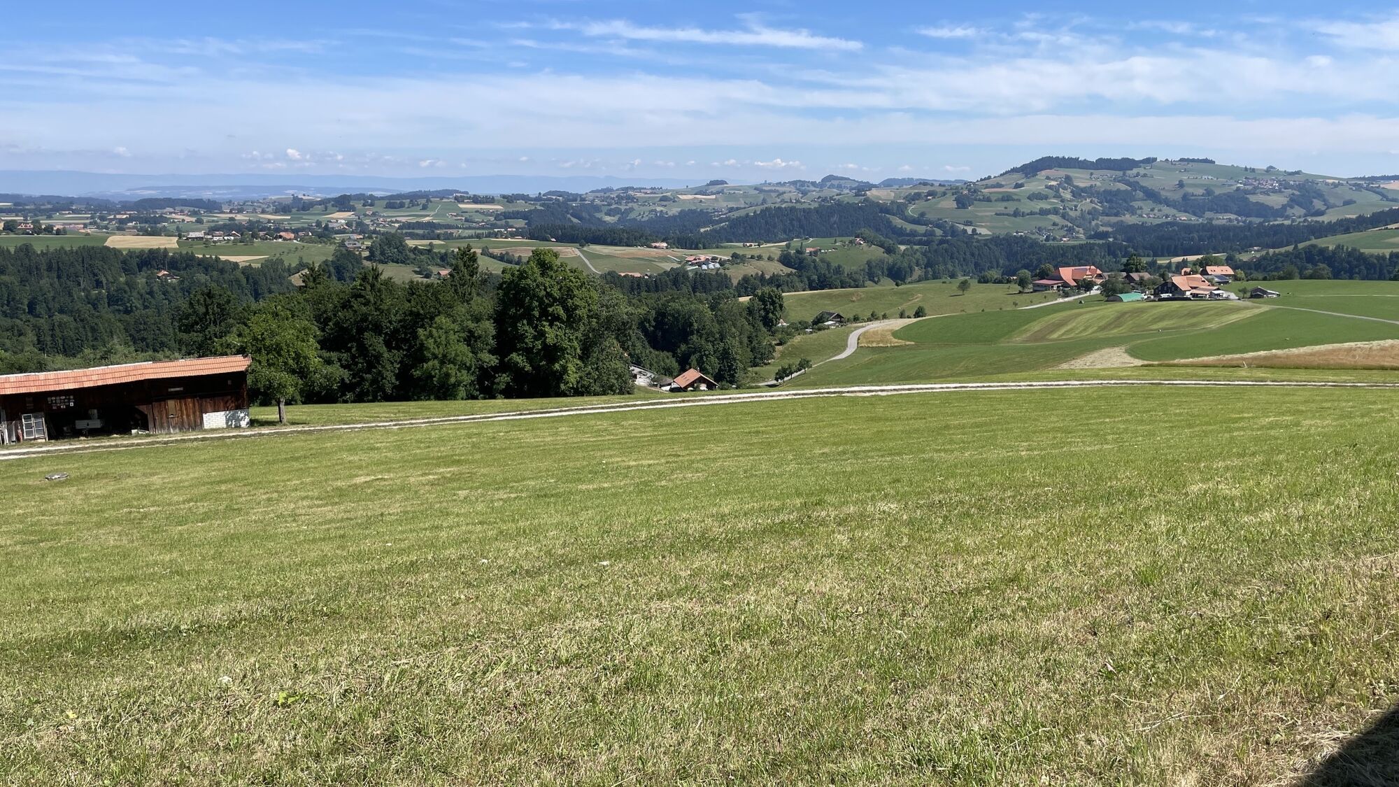
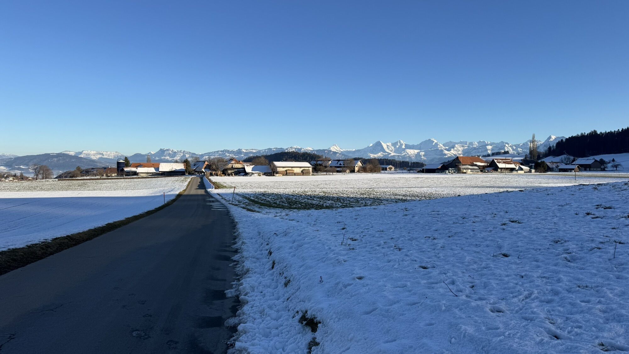
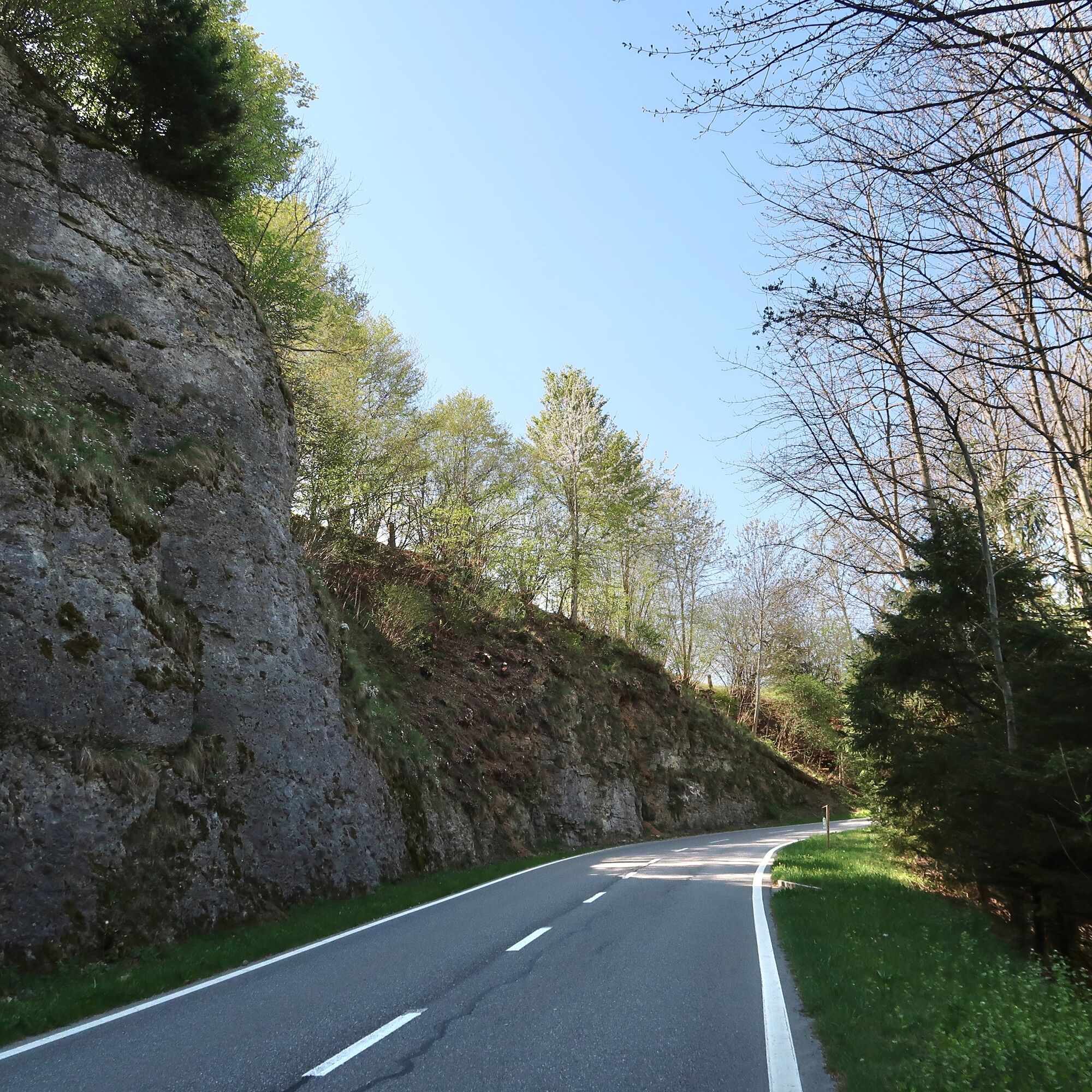
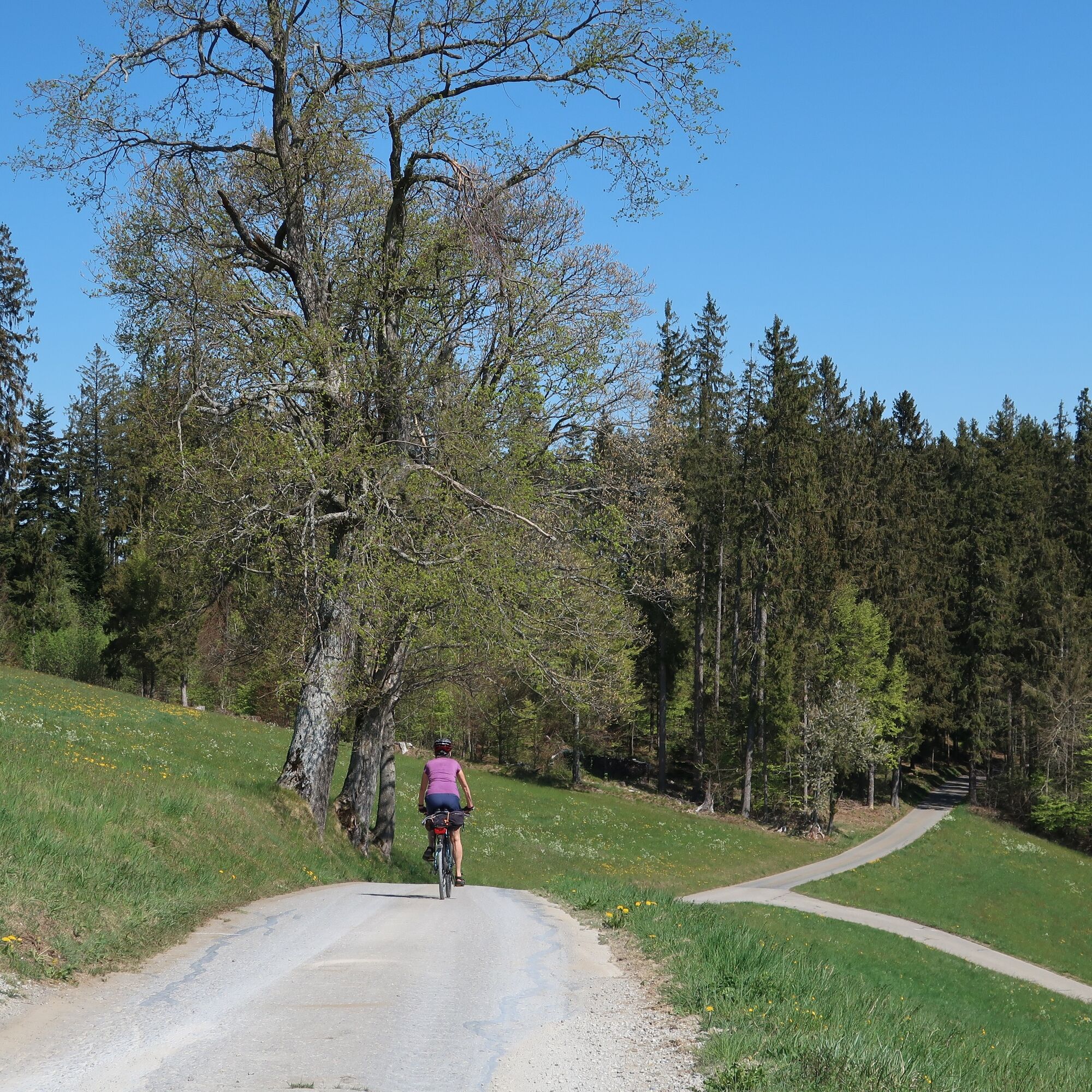
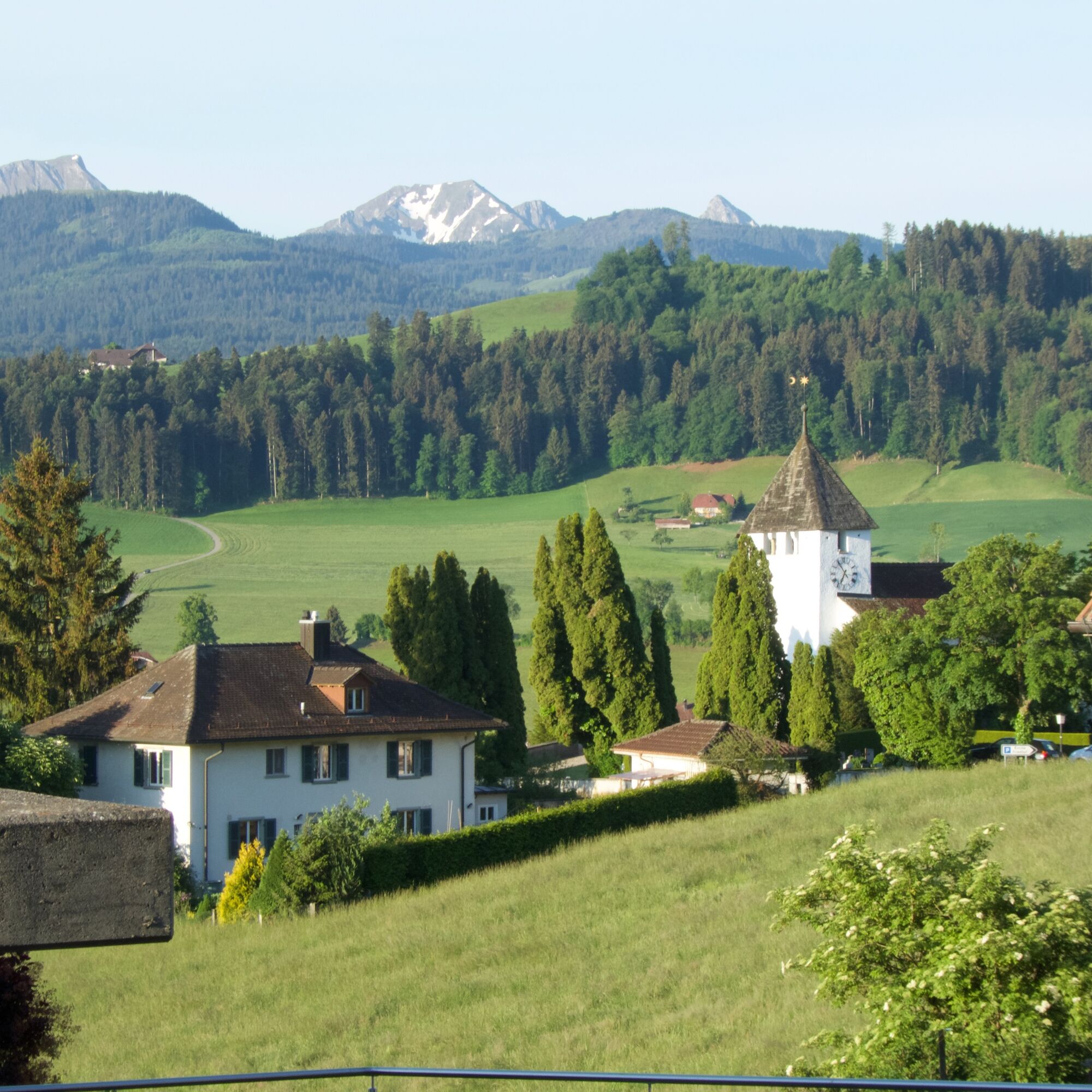
Over the glacial moraine ridges of Längenberg and Belpberg with fantastic views of the Alpine range, through the agricultural plains of Gürbe and Aare valleys, then on relaxing side roads through the suburban communities of the UNESCO World Heritage city of Bern.

Technologia
2 / 6
Stan
3 / 6
Krajobraz
n.d.
Doświadczenie
n.d.
Najlepsza pora roku
Sty
Lut
Mar
Kwi
Maj
Cze
Lip
Sie
Wrz
Paź
Lis
Gru
Udostępnij trasę
Mapa
Bern-South route (SchweizMobil 37)
średni
Jazda na rowerze
69,29 km
Błąd
Wystąpił błąd. Spróbuj ponownie.
Wędrówki i tropienie

Wędrówki i tropienie

Pobierz dla iOSPobierz dla systemu Android
Wędrówki i tropienie
Ponad 550.000 propozycji wycieczek, szczegółowe mapy i intuicyjny planer tras sprawiają, że aplikacja jest niezbędna dla wszystkich entuzjastów przyrody.
bergfex