


Gantrisch Bike Panorama Route (SchweizMobil 503)
Poziom trudności: S1
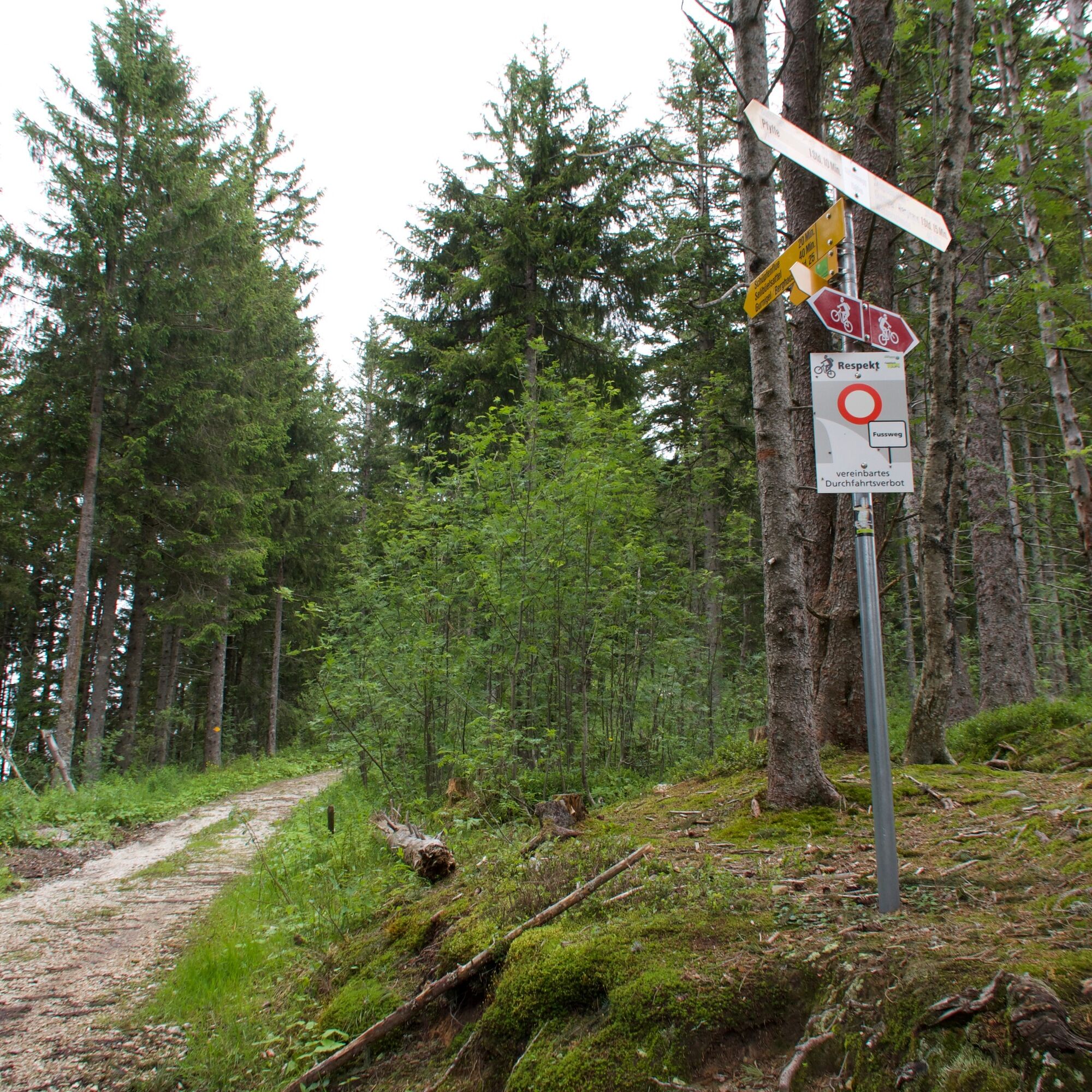
Besides the Ottenleuebad, the panoramic circular route can also be started at the Gurnigel mountain house, the Gurnigel Watershed, or in Schwarzenbühl/Selital. No matter which location is chosen as the...
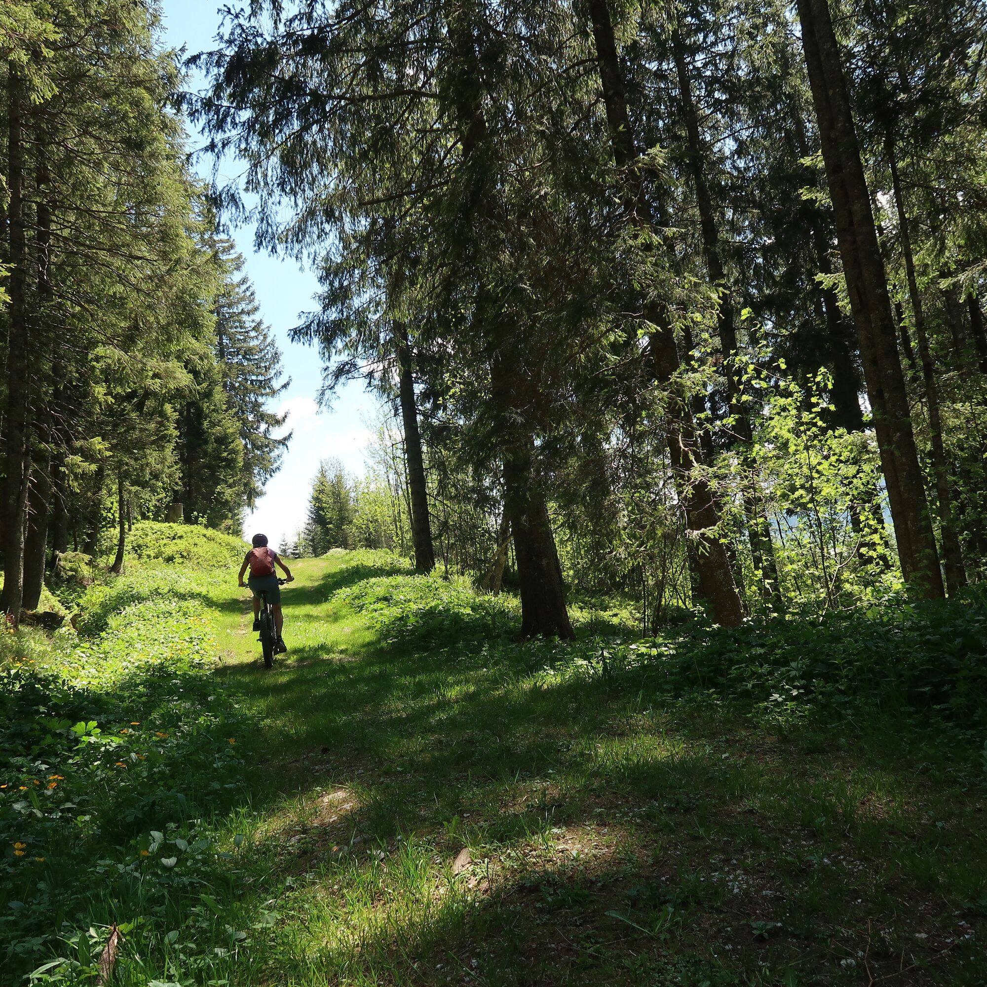
Besides the Ottenleuebad, the panoramic circular route can also be started at the Gurnigel mountain house, the Gurnigel Watershed, or in Schwarzenbühl/Selital. No matter which location is chosen as the starting point, this route makes every beginner a bike fan.
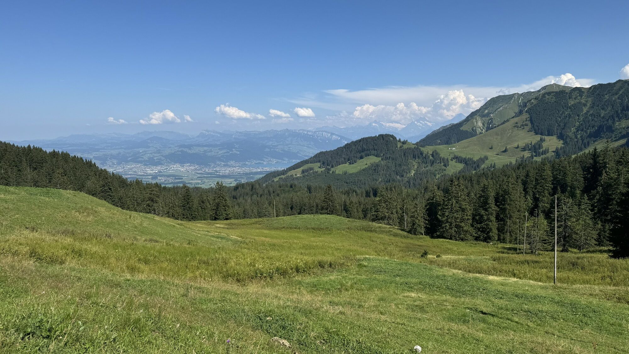
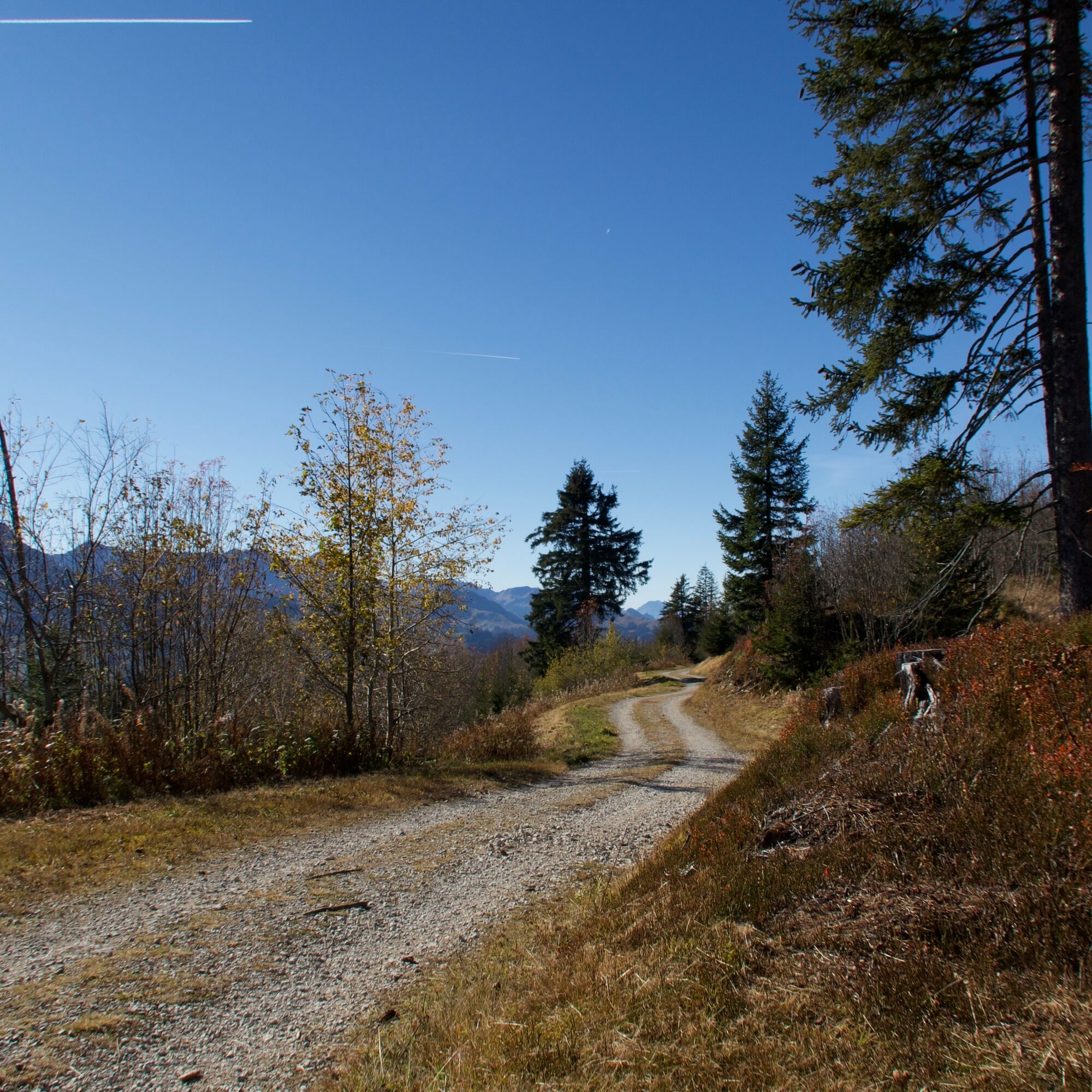
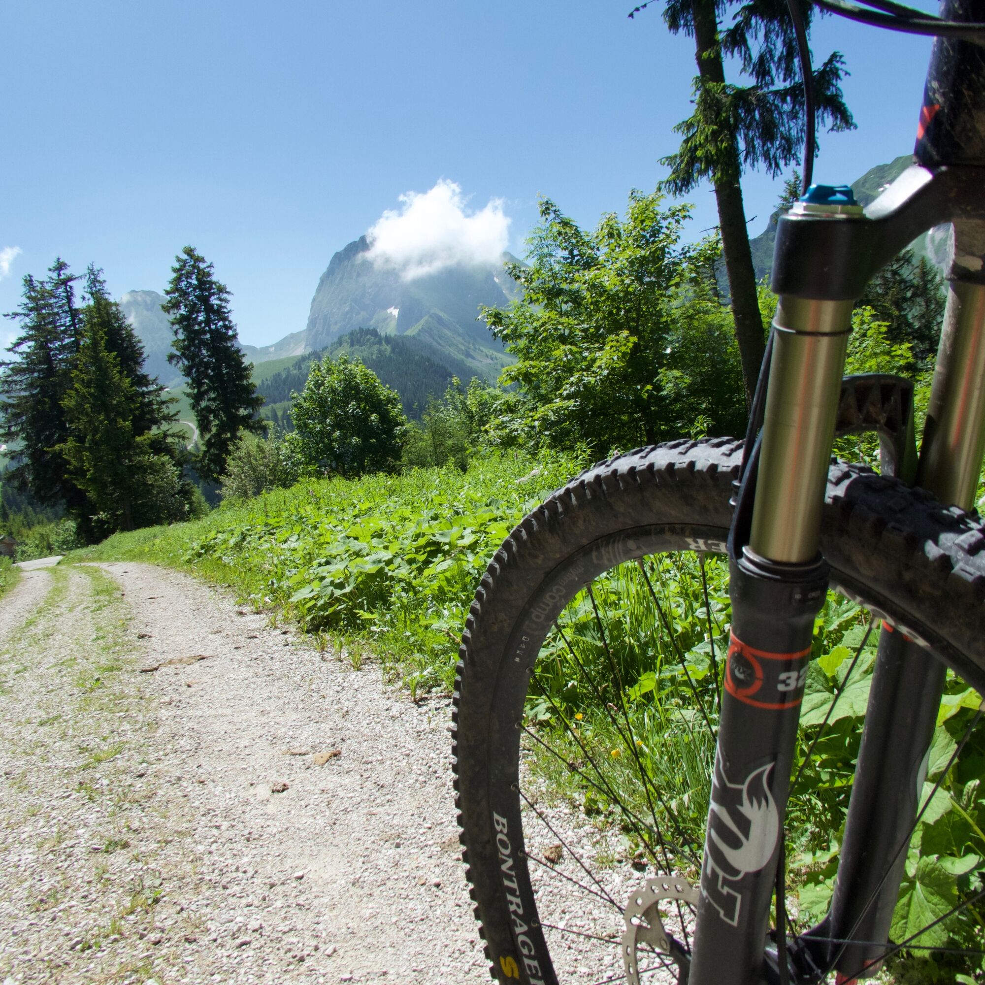
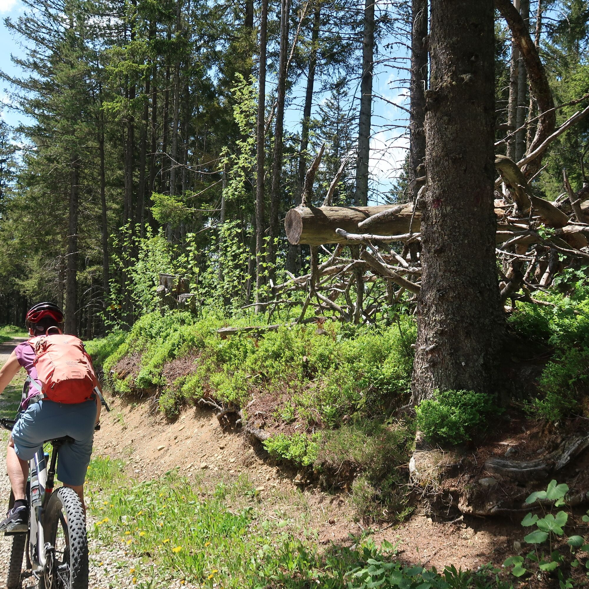
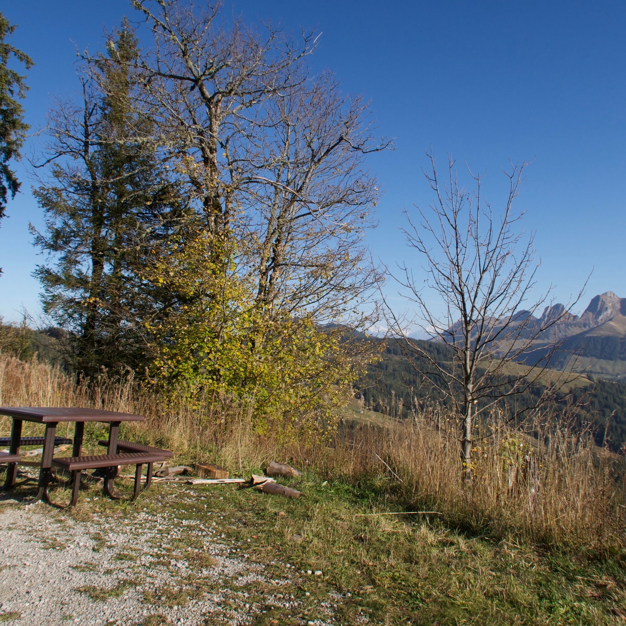
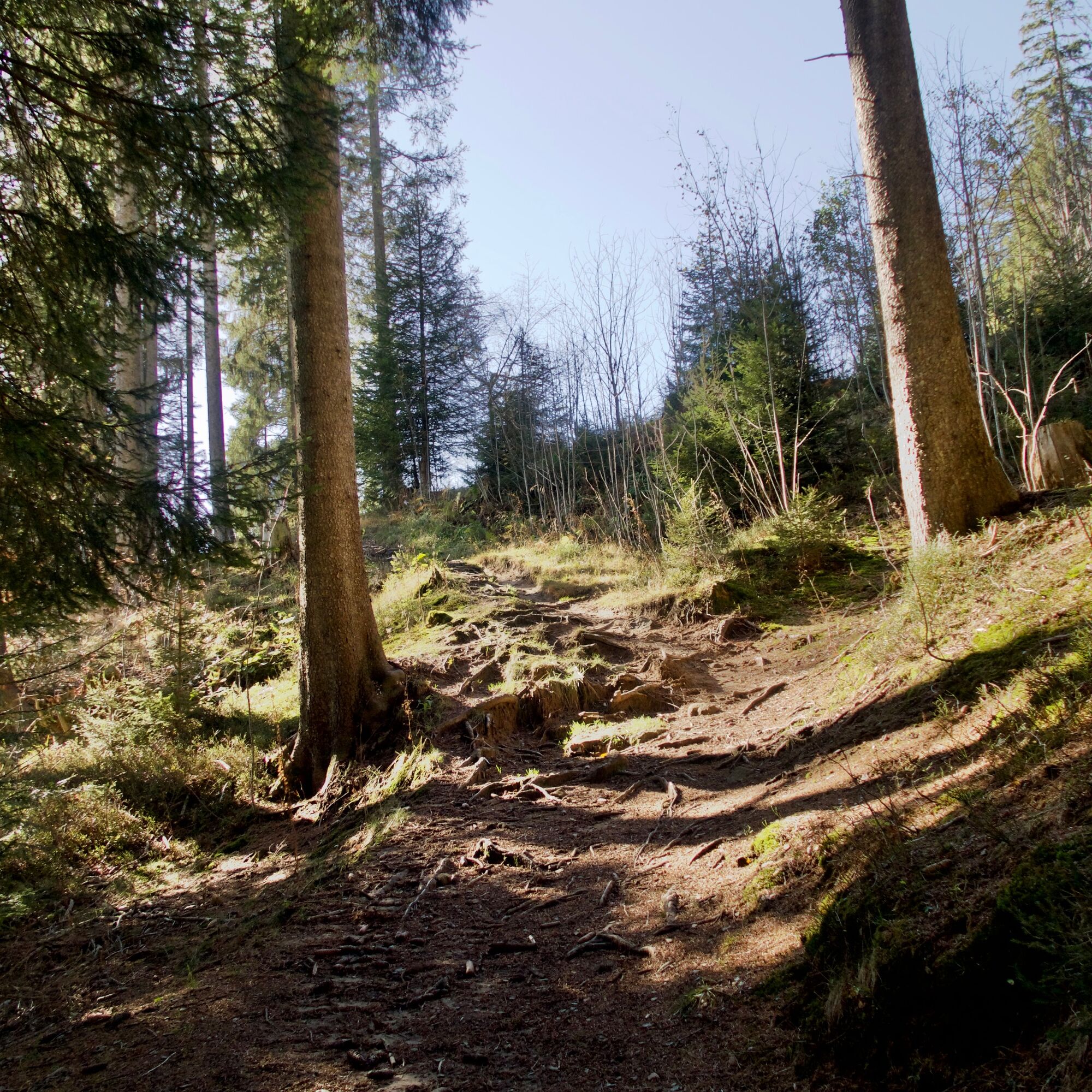
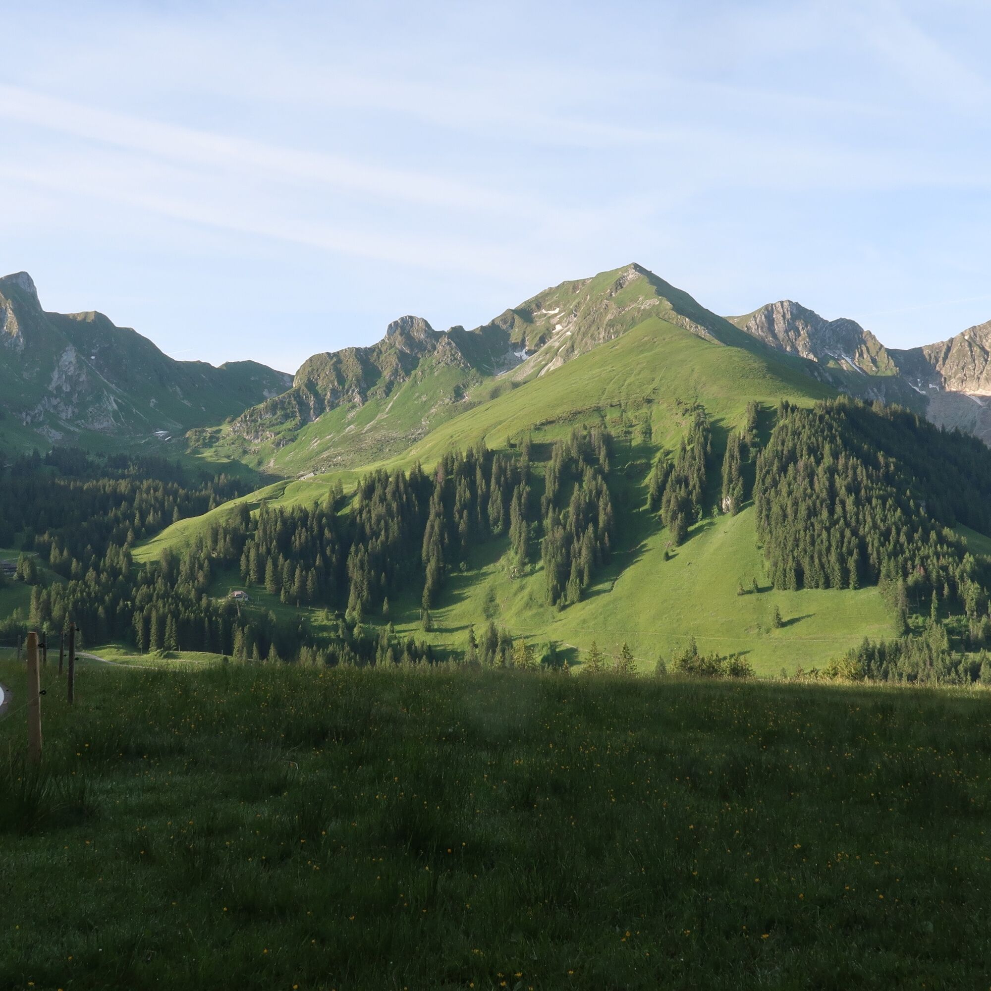
With relatively few altitude meters, which moderately steeply lead up and down between 1470 and 1600 m above sea level, the route more than lives up to its name Panorama Route. In addition, this route includes all types of bike paths; for the most part, these are pressed forest paths or gravel paths. Restaurants at the entry and exit points of this circular route provide refreshment and culinary enjoyment.

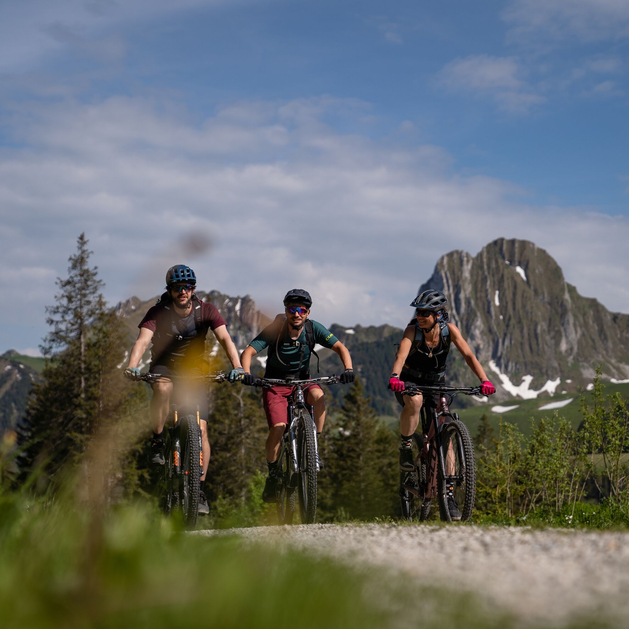
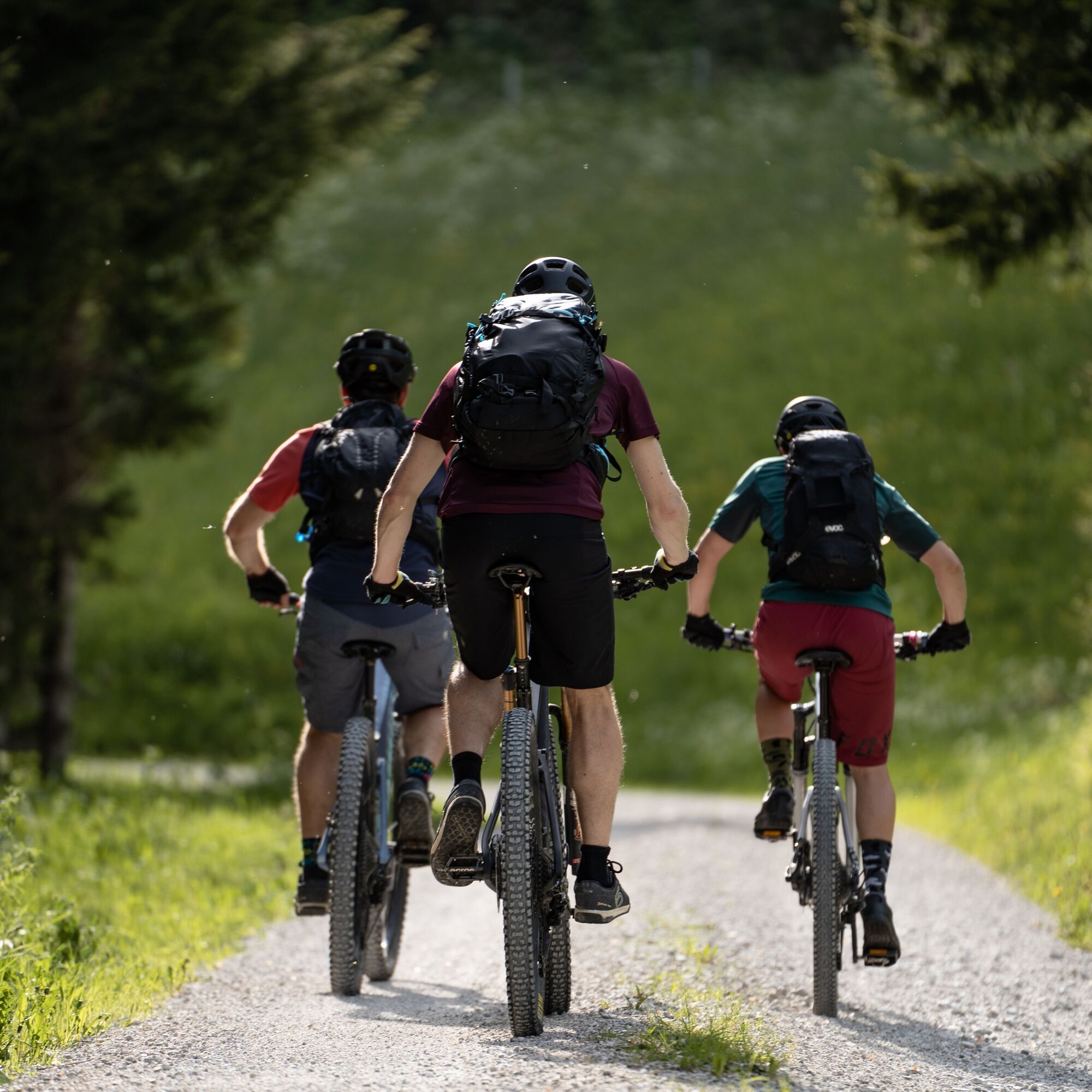
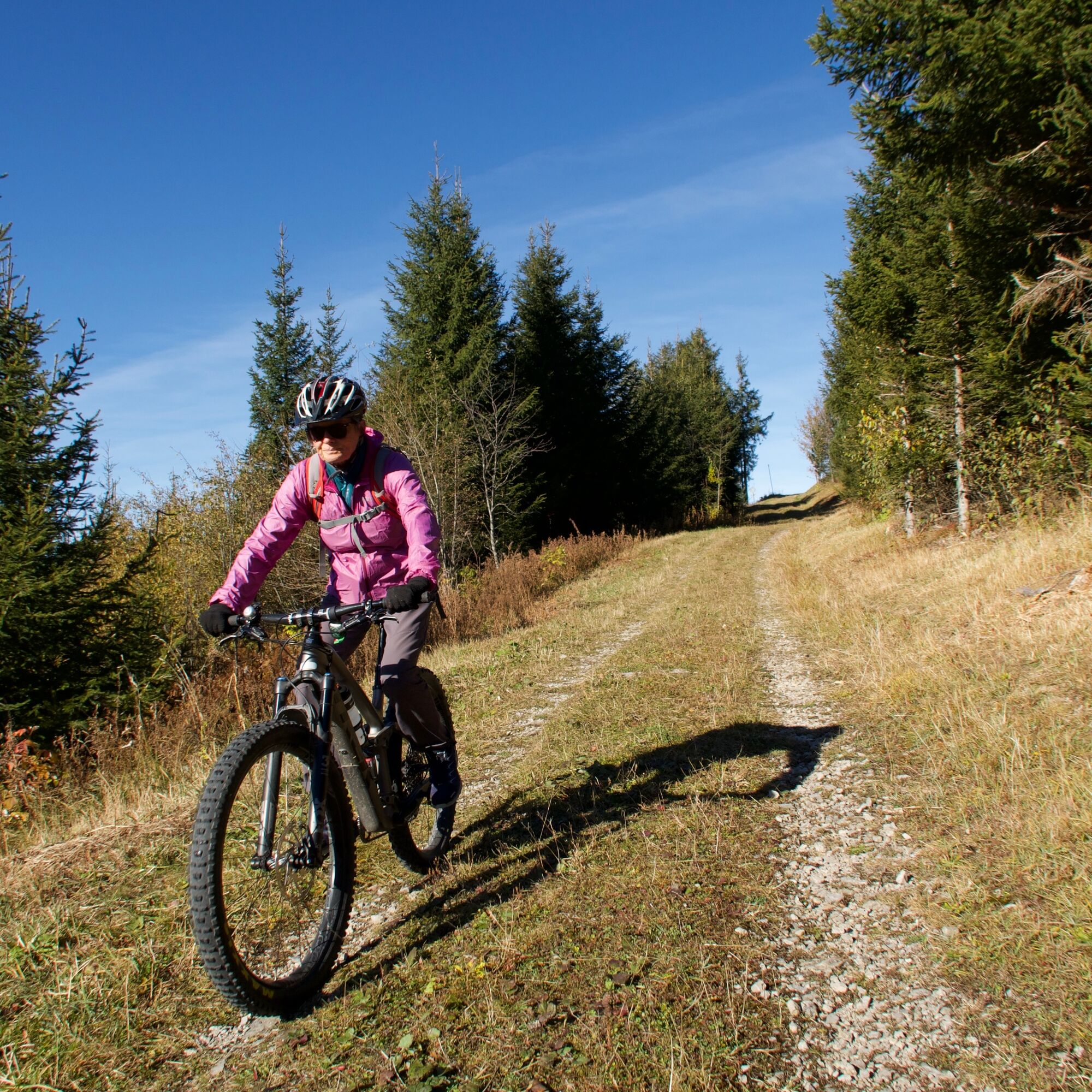
Normal bike equipment
If interested, mountain bikes can be rented from one of our partners.
Bike and cycle shops in the nature park
S1
Popularne wycieczki w okolicy
-
4,5
Gantrisch Summit Hike, 2176 m elevation
średniWędrówka 9,13 km -
4,8
Wasserscheide - Gantrisch Seeli
światłoWędrówka 9,33 km -
4,0
High-altitude hike Gurnigel - Stockhorn
średniWędrówka 11,2 km -
3,6
Breccaschlund Panorama Trail (Switzerland Mobility 267)
średniWędrówka 12,9 km -
5,0
Lake Schwarzsee circular route (SwitzerlandMobility 787)
światłoWędrówka zimą 4,10 km -
4,7
Schwarzsee-Rundgang Häxewääg
światłoTrasa tematyczna 4,10 km -
4,7
Summit hike Ochsen, 2188 m above sea level
średniWędrówka 7,94 km -
Patraflon & Schopfenspitz
średniWędrówka 15,1 km -
Riggisalp-Brecca-Schwarzsee Gypsera
średniWędrówka 10,1 km -
Schwarzsee - Patraflon - Pointe de Balachaux - Schopfenspitz - Combi - Stierenberg - Schwarzsee
średniWędrówka 14,8 km

Wędrówki i tropienie


Nie przegap ofert i inspiracji na następne wakacje
Twój adres e-mail została dodana do listy mailingowej.