






Valley hike to the Vilstalsäge - a discovery journey in the wintery Vils valley
Poziom trudności: 1
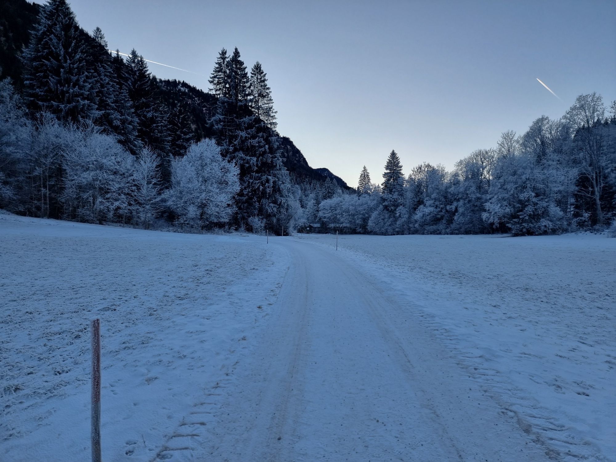
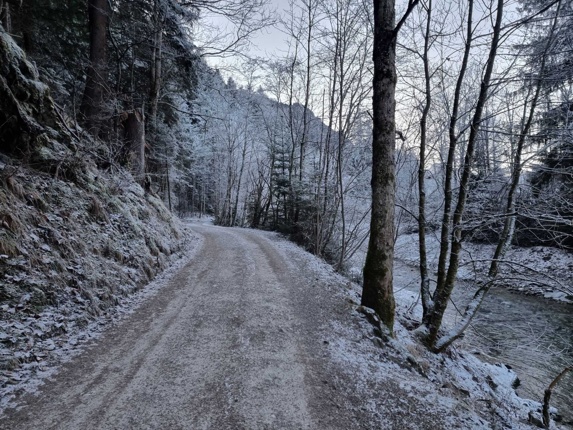
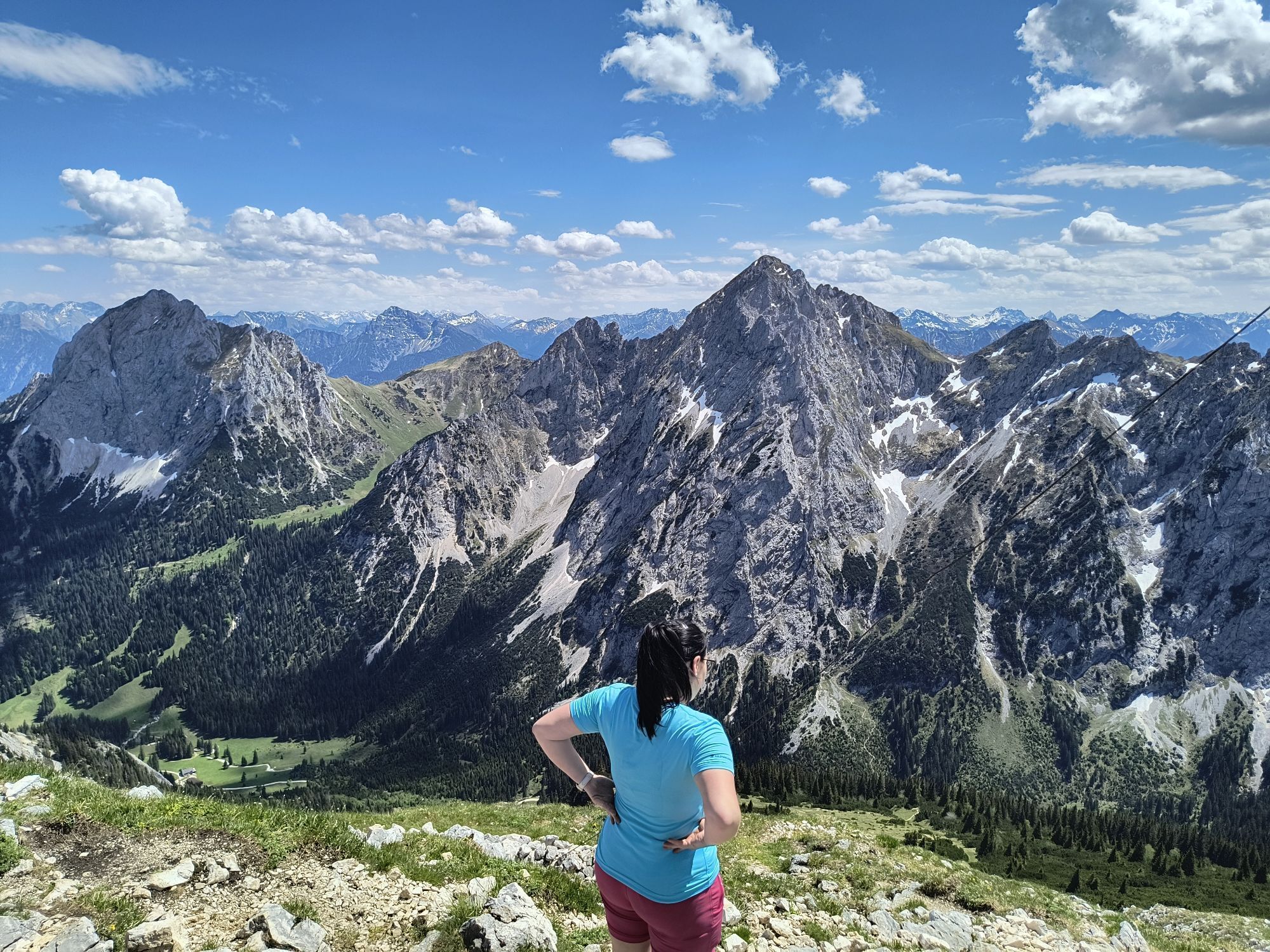
Discover a very special river on this winter hike! While almost all other watercourses flow northwards, the Vils flows back into the mountains. Coming from the Tannheimer Valley in nearby Tyrol, the Vils...
Discover a very special river on this winter hike! While almost all other watercourses flow northwards, the Vils flows back into the mountains. Coming from the Tannheimer Valley in nearby Tyrol, the Vils undertakes a curious journey: first it flows to Pfronten, then turns south again to join the mighty Lech near Füssen. The hike along this unusual river offers great variety: sawmills have been powered by hydroelectric energy since the past and present, and modern small power plants line up like a string of pearls, providing renewable energy. At the destination, a stop awaits in the traditional excursion inn: the Vilstalsäge (opening hours visible at www.vilstalsaege.de).

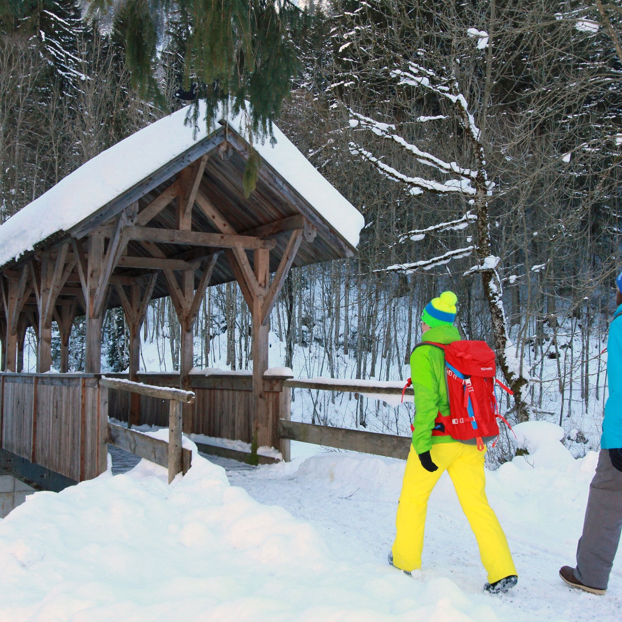


The route only briefly leads through the bustling Pfronten-Ried, soon reaching the bank of the Vils, and you hike upstream through the quiet spa park. At the north slope of the Kienberg, the cleared path runs, always along the river, becoming increasingly lonely. At the historic Schochersäge stands a modern turbine house today – over a bridge here you change to the other side of the river. Now the destination is already near: At the Vilstalsäge (closed Monday + Tuesday) you can wonderfully warm up and stop for a bite. The return is along the same route. Weekly torchlight walks with wildlife feeding are offered in the evenings into the idyllic valley – a winter experience like no other!
Tak
Weatherproof clothing, a backpack with provisions and change of clothes, and sunscreen if needed.
TIPS FOR SAFE WINTER HIKING
• Use the signposted hiking trails
• Check the weather before your tour
• Note the shorter daylight hours in winter
• Wear sturdy footwear and use crampons if needed
• Dress in winter-appropriate clothing
• Take a hiking map with you
• Carry first aid equipment and mobile phone
• European emergency number: 112
B309 - Pfronten-Ried train station
Public transport to Pfronten-Ried train station
Large free parking lot at the Pfronten-Ried train station
1
Check the weekly menu of the Vilstalsäge in advance so you don’t miss your favorite Bavarian dish!

Kamery internetowe z trasy
-
Skizentrum Steinach / Pfronten
-
Breitenberg Bergstation
-
Pfronten-Halden / Hotel Zugspitzblick
-
Pfronten - Boutique Hotel Blaue Burg Falkenstein
-
Nesselwang - Alpspitzbahn Mittelstation
-
Pfronten - Ostlerhütte
-
Eisenberg - Burgruine
-
Oberellegg - Wertach
-
Nesselwang - Alpspitzbahn Sportheim Böck
-
Nesselwang - Alpspitzbahn Talstation
-
Füssen Appartementhotel Seespitz
-
Breitenbergbahn - Pfronten
-
Pfronten - Skizentrum
Uzyskaj wgląd
Zawsze na żywo z ponad 9 500 kamer internetowych. bergfex Jako użytkownik Pro, możesz teraz zobaczyć odpowiednie kamery internetowe dla wielu wycieczek w aplikacji wycieczki od. Pozwala to na bezpośredni podgląd aktualnych warunków.

Popularne wycieczki w okolicy
-
4,8
Around Weißensee
światłoWędrówka 6,12 km -
5,0
Hiking tour to Breitenberg
ciężkiWędrówka 15,6 km -
4,9
Gemeinde Grän, Tirol/Österreich Aggenstein Rundtour über Höhenweg
średniWędrówka 9,84 km -
4,4
Höllschlucht hike » Water & Forest
średniWędrówka 7,38 km -
4,3
Three-lake route (awarded the Tyrolean Hiking Trail Seal of Quality)
średniWędrówka 14,8 km -
4,8
Tannheim / Vilsalpsee / Landsberger Hütte
średniWędrówka 15,7 km -
4,8
Iseler und Kühgundkopf
średniWędrówka 7,63 km -
4,7
3-Gipfel-Tour
średniWędrówka 11,2 km -
4,6
3-Seen Rundtour Vilsalpsee / Schrecksee / Traualpsee
średniWędrówka 17,1 km -
4,5
Durchs Schneetal zum Hahnenkamm
średniWędrówka 14,1 km
Wędrówki i tropienie


Nie przegap ofert i inspiracji na następne wakacje
Twój adres e-mail została dodana do listy mailingowej.





