







Sunken world in the Forggensee
The hike takes you back to times long past, when the Forggensee was not yet flooded. When the water is drained in winter, you will come across traces of earlier settlements as you walk around the lake....
The hike takes you back to times long past, when the Forggensee was not yet flooded. When the water is drained in winter, you will come across traces of earlier settlements as you walk around the lake. Magnificent views of the Tannheim and Ammergau mountains with the royal castles included!

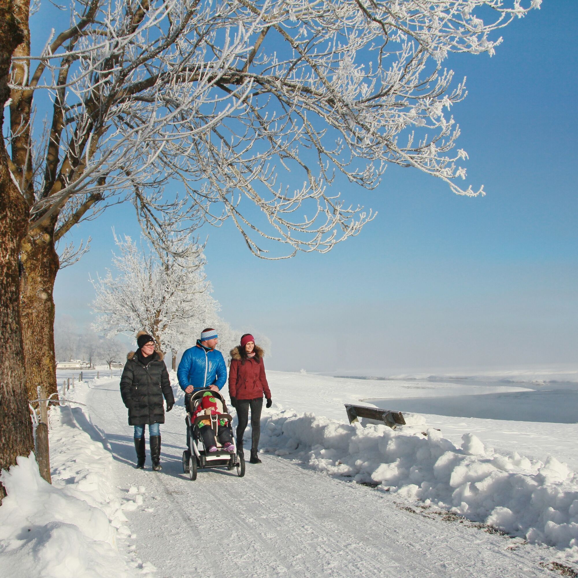
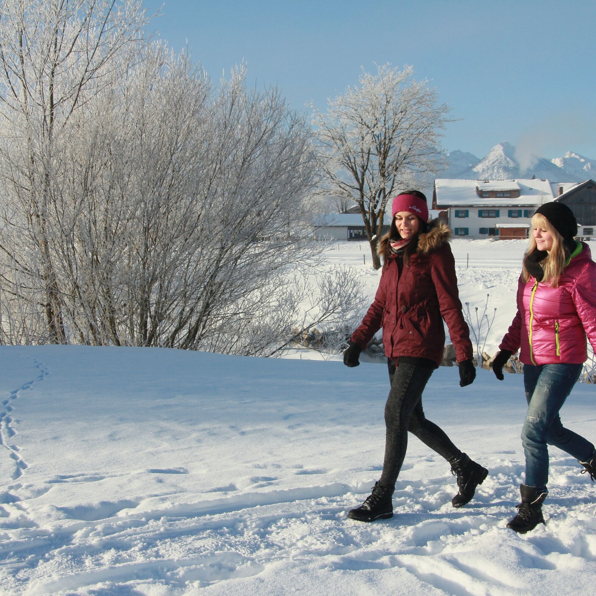

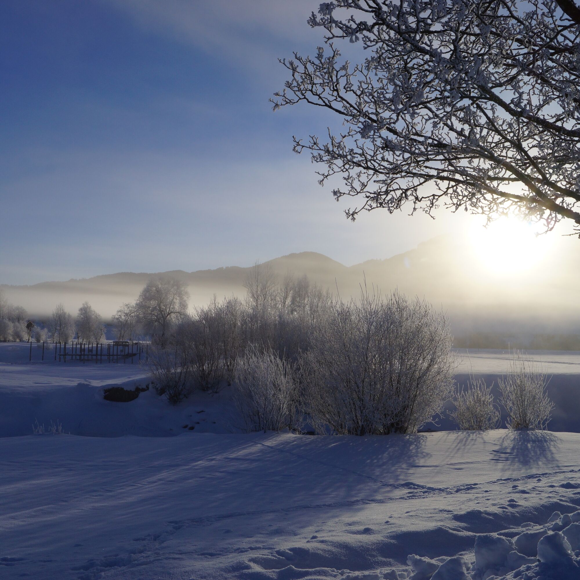
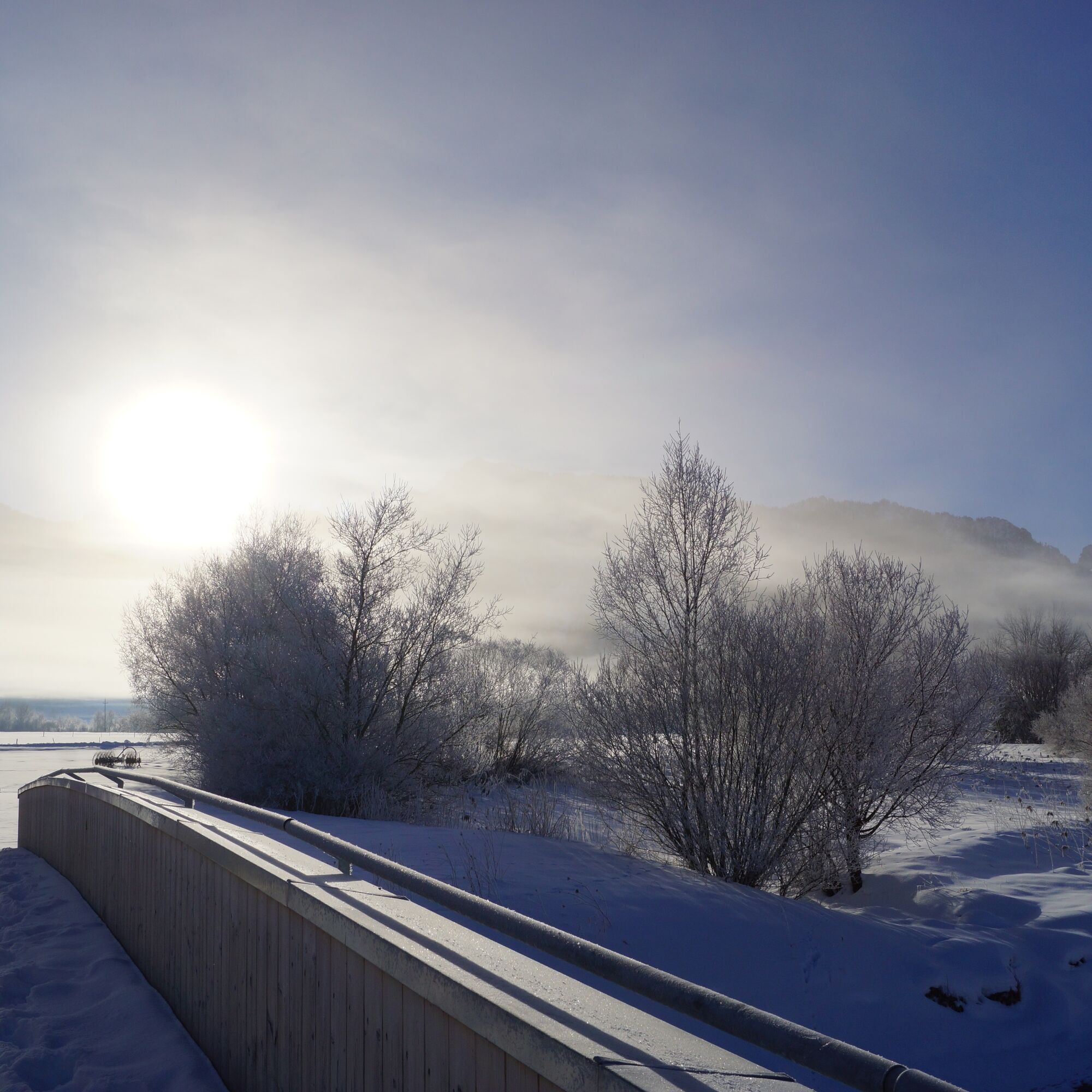

After the end of the last ice age around 14,000 years ago, the glacier formed a lake on the site of today's Forggensee, which later silted up. In 1954, a reservoir was built in the basin, which is still used today to generate electricity and regulate flooding. Houses and farms fell victim to the water. However, when the reservoir is drained in winter, the remains of the old walls become visible again: there is evidence of a Roman estate and its connecting road and you can see the foundations of the farmhouses of Brunnen, Deutenhausen and Forggen. On the other side, a wide view opens up of the Tannheim and Ammergau mountains with the royal castles.
This flat panoramic tour along the Forggensee is easy to complete. The paths are varied - from the narrow lakeside path to the small asphalt road. From the parking lot in Waltenhofen, the route initially runs directly along the lakeshore in the direction of Brunnen. The way back takes you across sunlit, snow-covered meadows - the unobstructed view of the mountains is spectacular. You walk past the Schwangau spa gardens to the Frauenberg and below it back to the shore of Lake Forggensee. You soon reach Waltenhofen on the lakeside path with its impressive parish church, whose origins date back to 746.
Sturdy shoes, winter-proof clothing, camera.
Please only use the signposted paths and take the weather forecast into account.
B17 - Aral petrol station/Rewe - König-Ludwig-Straße - towards Waltenhofen parish church - Forggenseestraße towards Brunnen: Parking lot on the left side.
Take the bus to the Schwangau-Waltenhofen bus stop (lines 73, 78, 9606).
Waltenhofen parking lot, Forggenseestraße
You can find cozy and warm places to stop for refreshments at www.schwangau.de/tisch.

Kamery internetowe z trasy
Tegelbergbahn Bergstation
Tegelberghaus
Füssen - Wellness Hotel Sommer
Segelclub Füssen
Camping Hopfensee
Camping Hopfensee
Hopfen am See - Restaurant Fischerhütte
Tegelbergbahn Bergstation
Tegelbergbahn Bergstation
Tegelbergbahn Bergstation
Tegelbergbahn Bergstation
Schloss Hohenschwangau
Ludwigs Festspielhaus Füssen
Rieden am Forggensee - Salenberghof
Forggensee Yachtschule
Roßhaupten im Allgäu
Forggensee
Tegelbergbahn Bergstation
Schwangau - Blick auf den Tegelberg
Hotel Hirsch
Schwangau - Schlossbrauhaus
Schwangau - Tegelbergbahn
Tegelberg Landeplatz
Hopfen am See - Biohotel Eggensberger
Uzyskaj wgląd Zawsze na żywo z ponad 9 500 kamer internetowych. bergfex Jako użytkownik Pro, możesz teraz zobaczyć odpowiednie kamery internetowe dla wielu wycieczek w aplikacji wycieczki od. Pozwala to na bezpośredni podgląd aktualnych warunków. Popularne wycieczki w okolicy
- 4,9
Hiking tour to Breitenberg
ciężkiWędrówka 15,6 km - 4,7
Around Weißensee
światłoWędrówka 6,12 km - 4,7
Forggensee round
średniJazda na rowerze 32,5 km - 4,1
Drehhütte
światłoWędrówka 3,34 km - 4,5
Circular hike Dreh- and Rohrkopfhütte
światłoWędrówka 8,76 km - 4,9
Gemeinde Grän, Tirol/Österreich Aggenstein Rundtour über Höhenweg
średniWędrówka 9,84 km - 4,9
Tegelberg | Branderschrofen | Neuschwanstein
średniWędrówka 14,8 km - 4,6
Yellow Wall Trail, Tegelberg (A)
średniVia ferrata 3,65 km - 4,8
Do schroniska Bad Kissinger Hütte przez Gräner Höhenweg
średniWędrówka 13,0 km - 4,4
Rundwanderung Stuibenfälle
średniWędrówka 3,92 km
Wędrówki i tropienie


Nie przegap ofert i inspiracji na następne wakacje
Twój adres e-mail została dodana do listy mailingowej.





