







From Rottach along the Weißach to Kreuth
Poziom trudności: 1
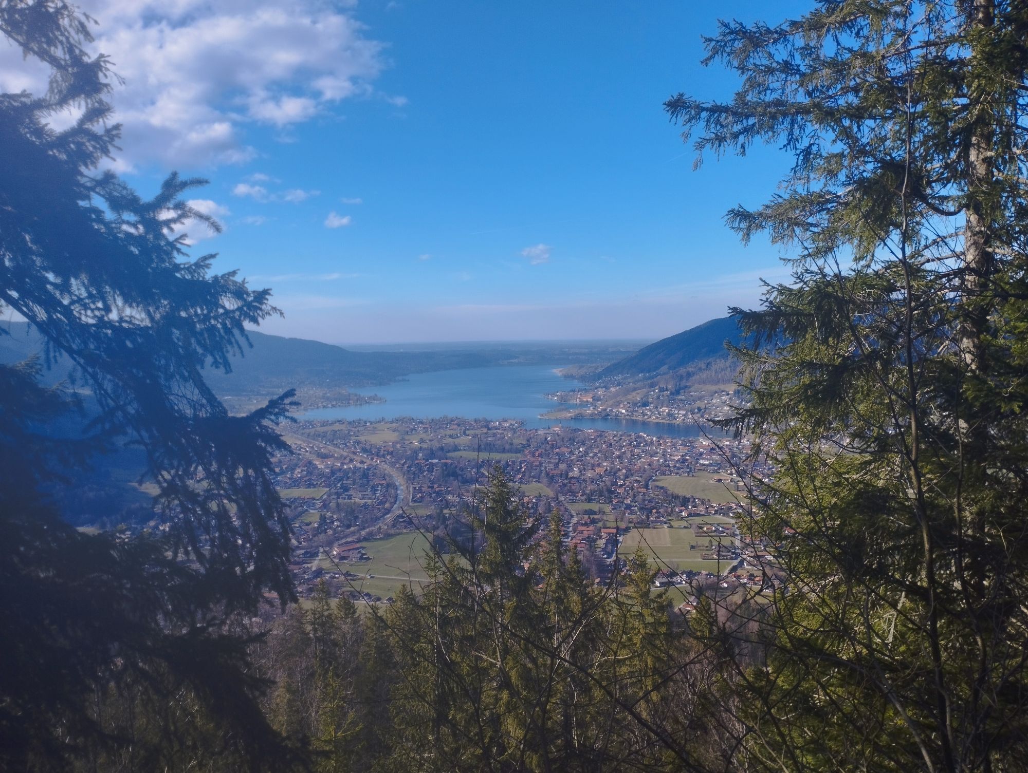
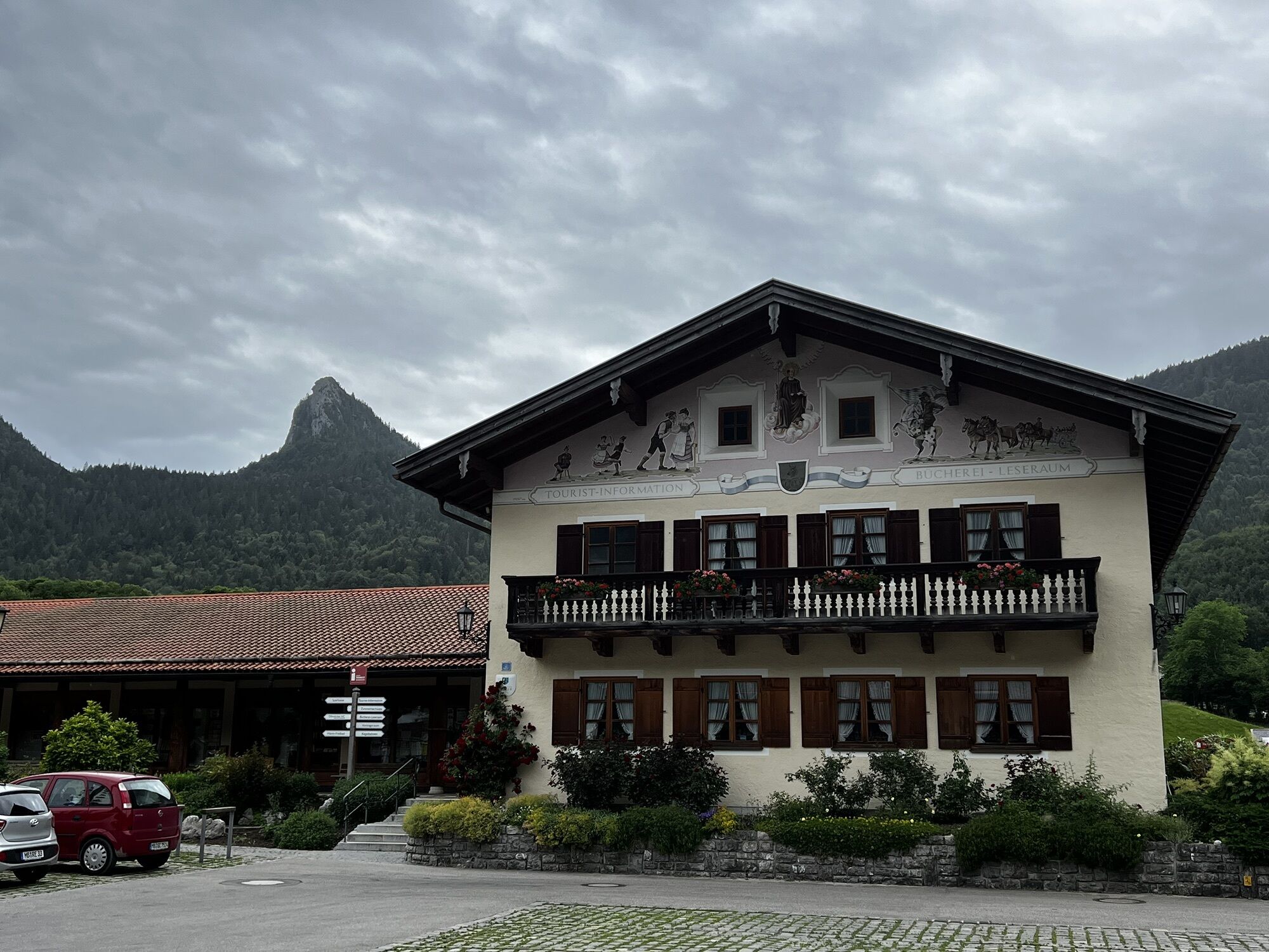
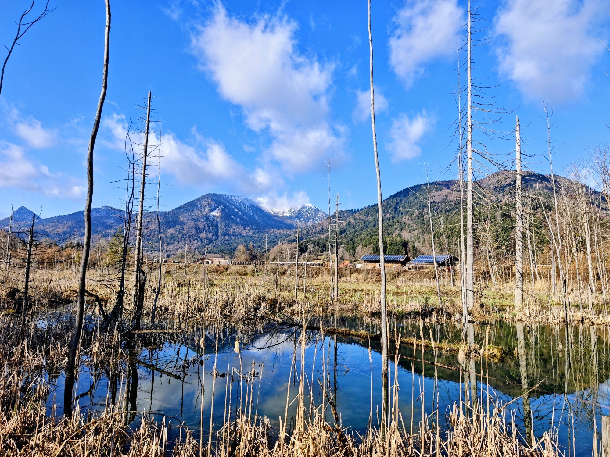
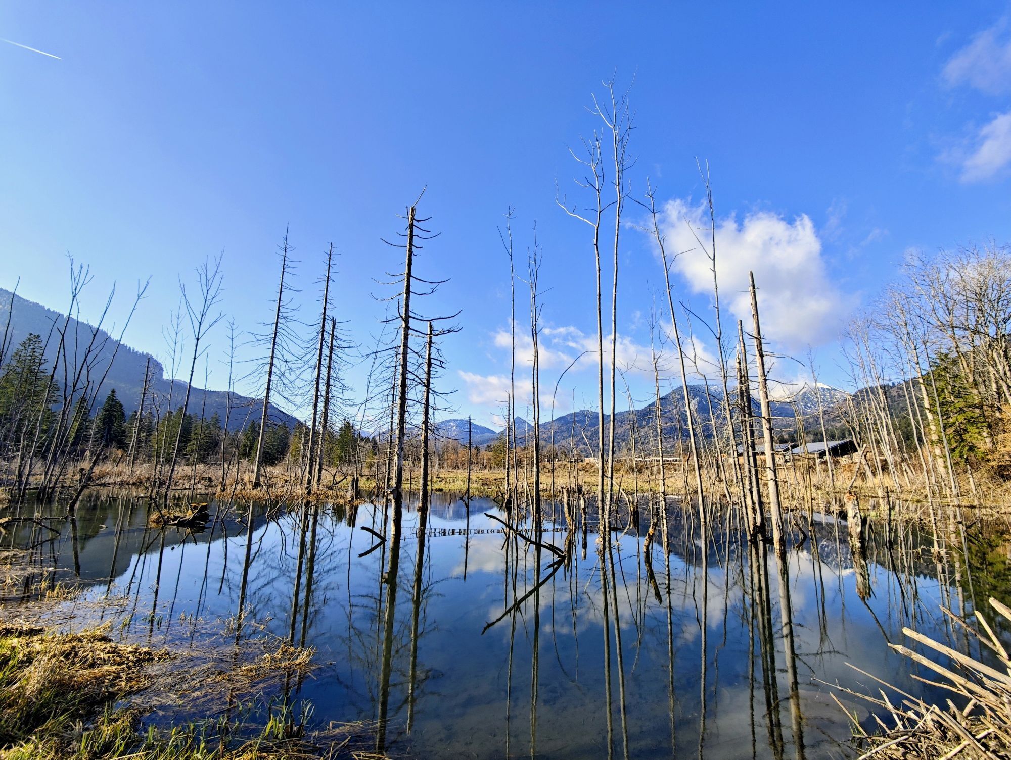
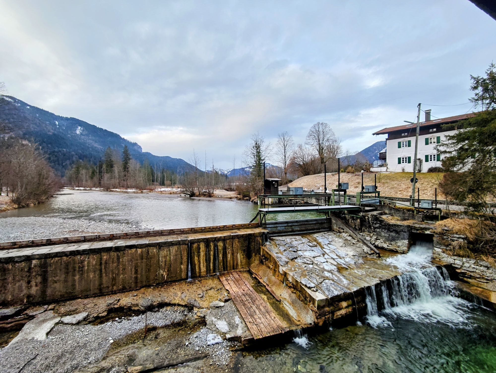
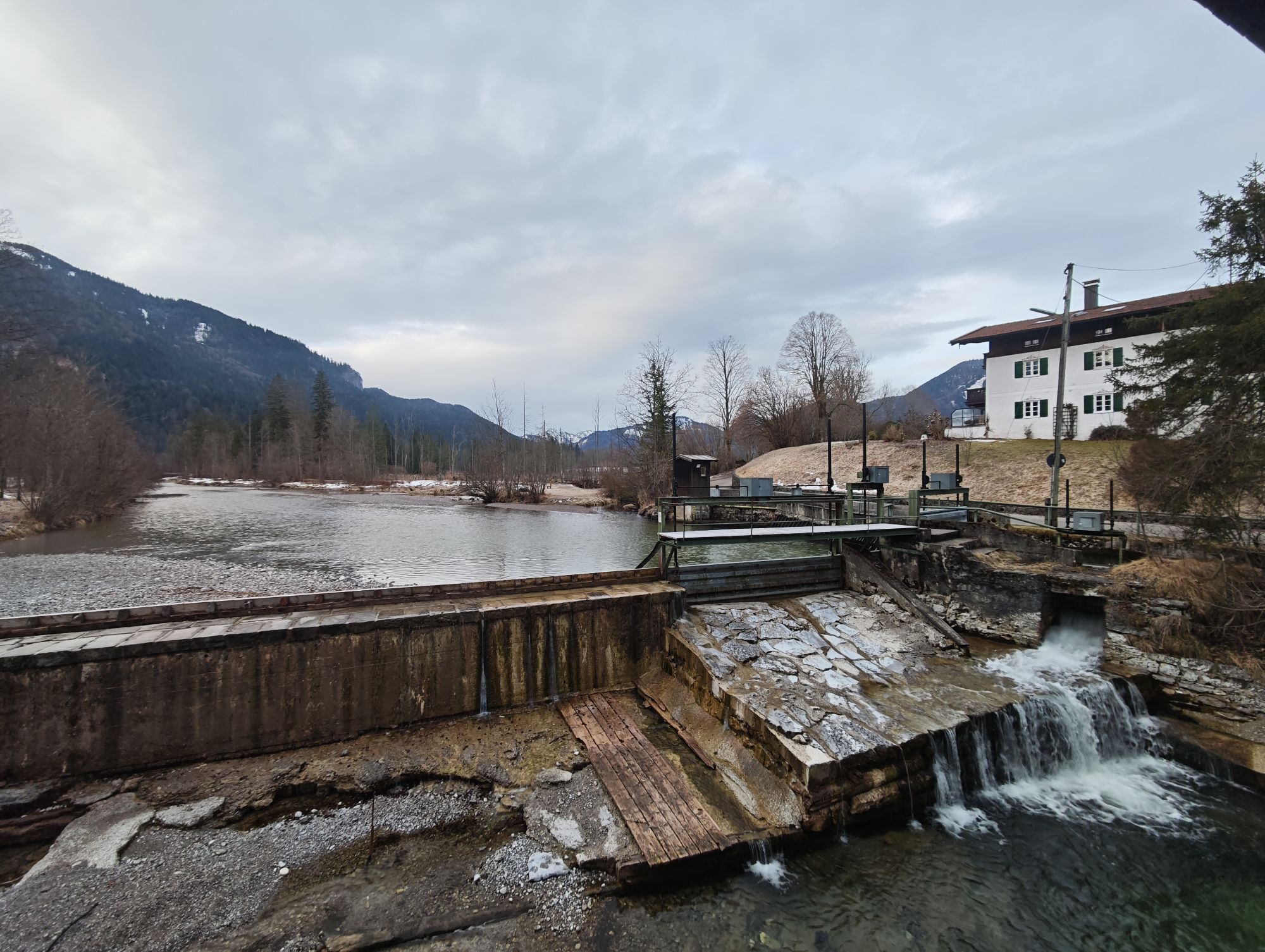
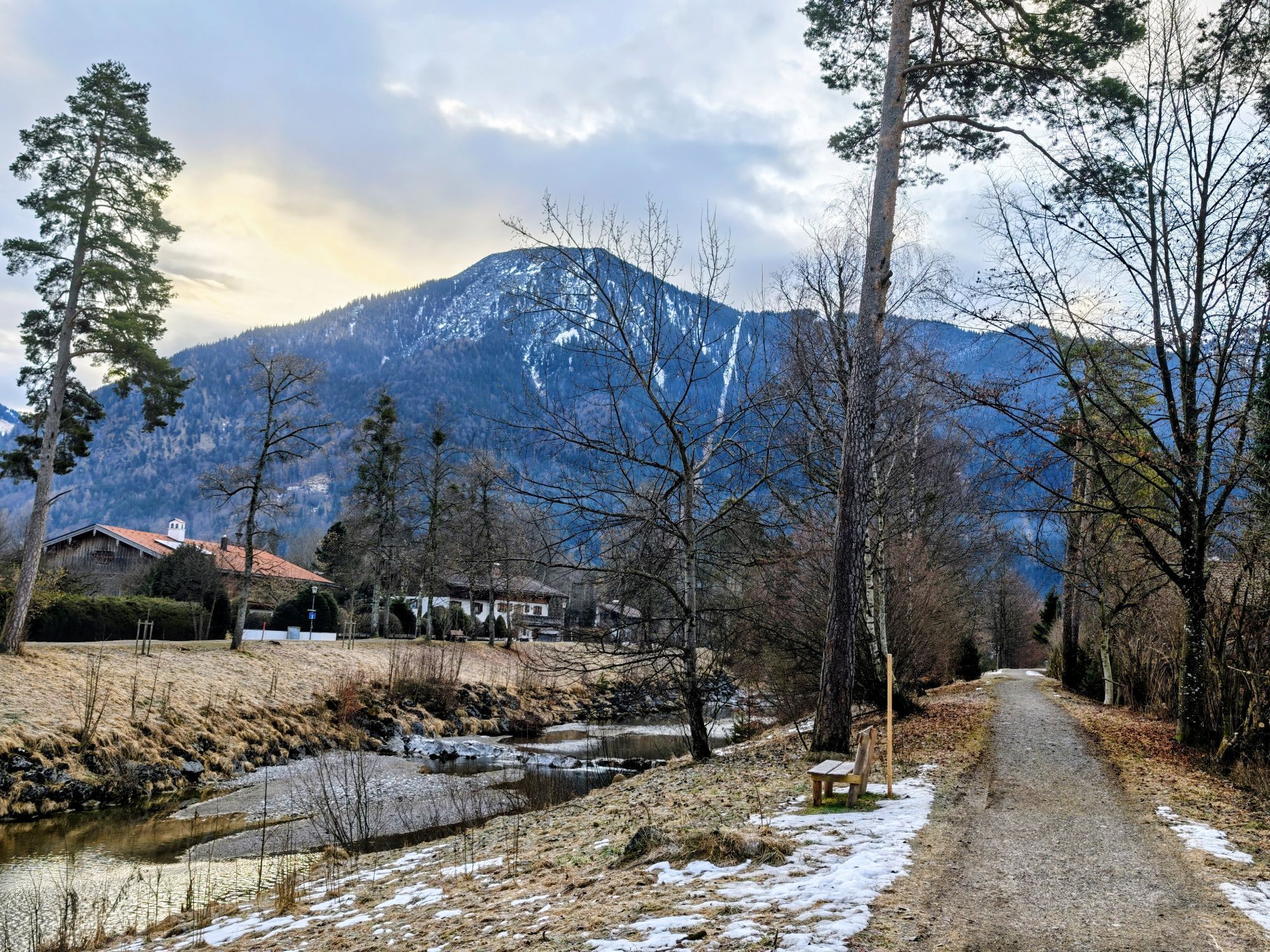
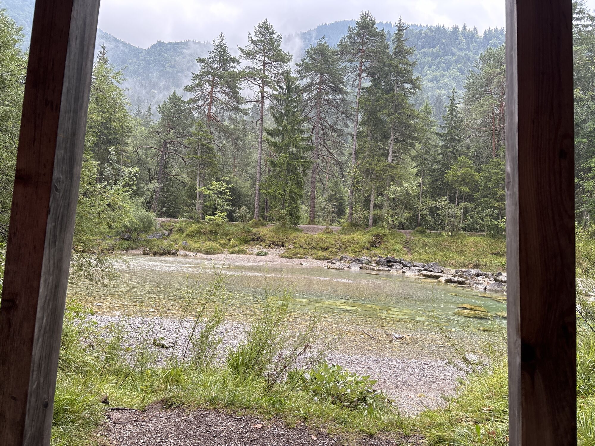
The path is accessible all year round and cleared in winter.
It is suitable for strollers in the snow-free season.

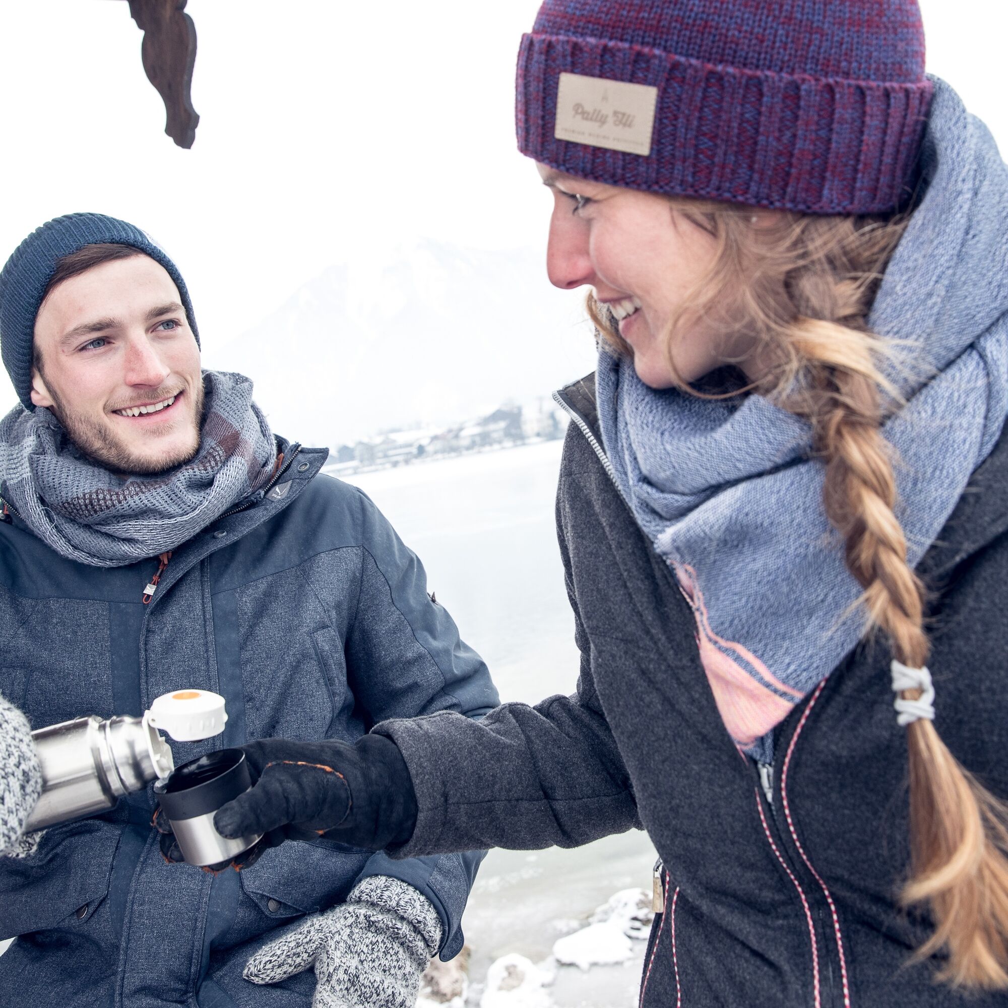
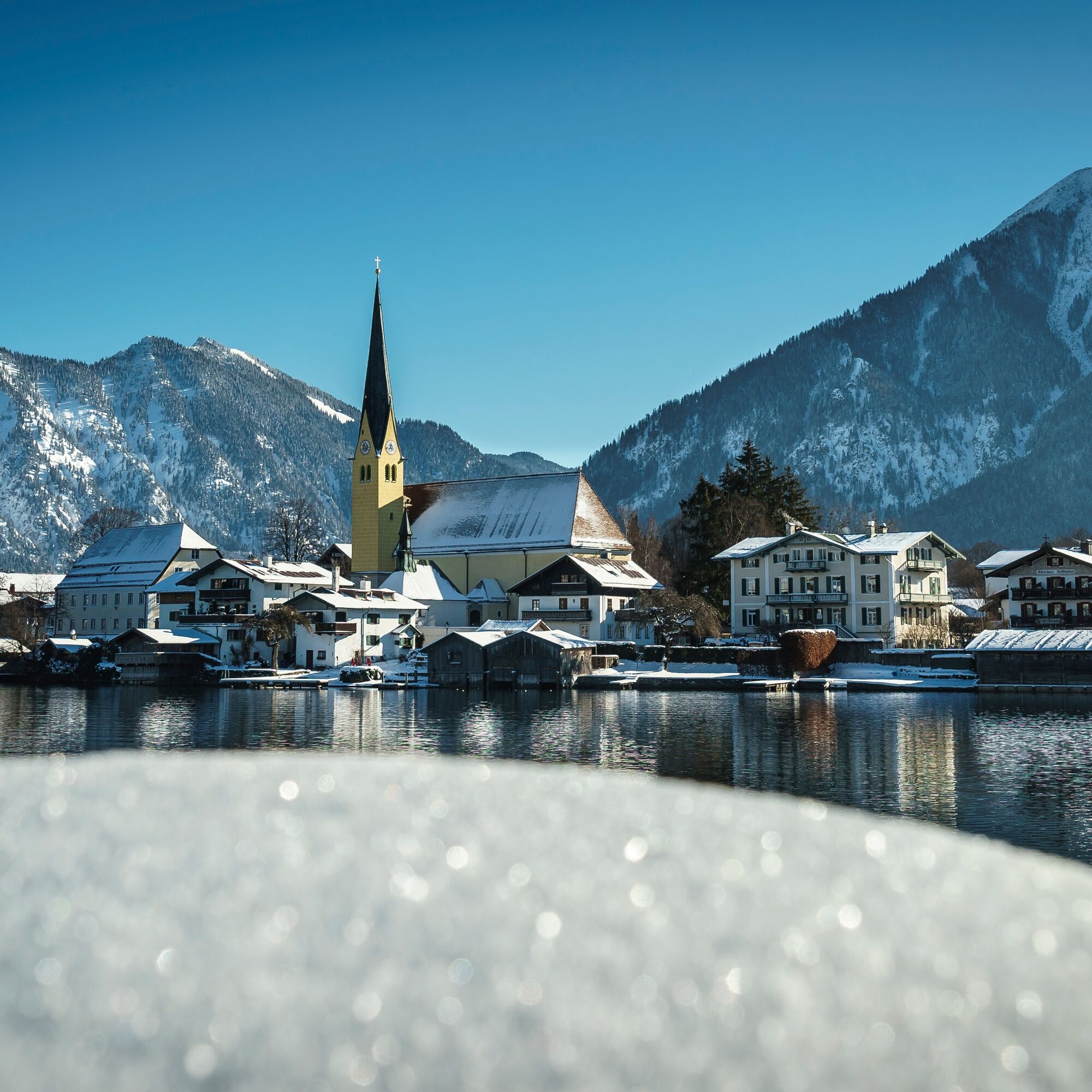

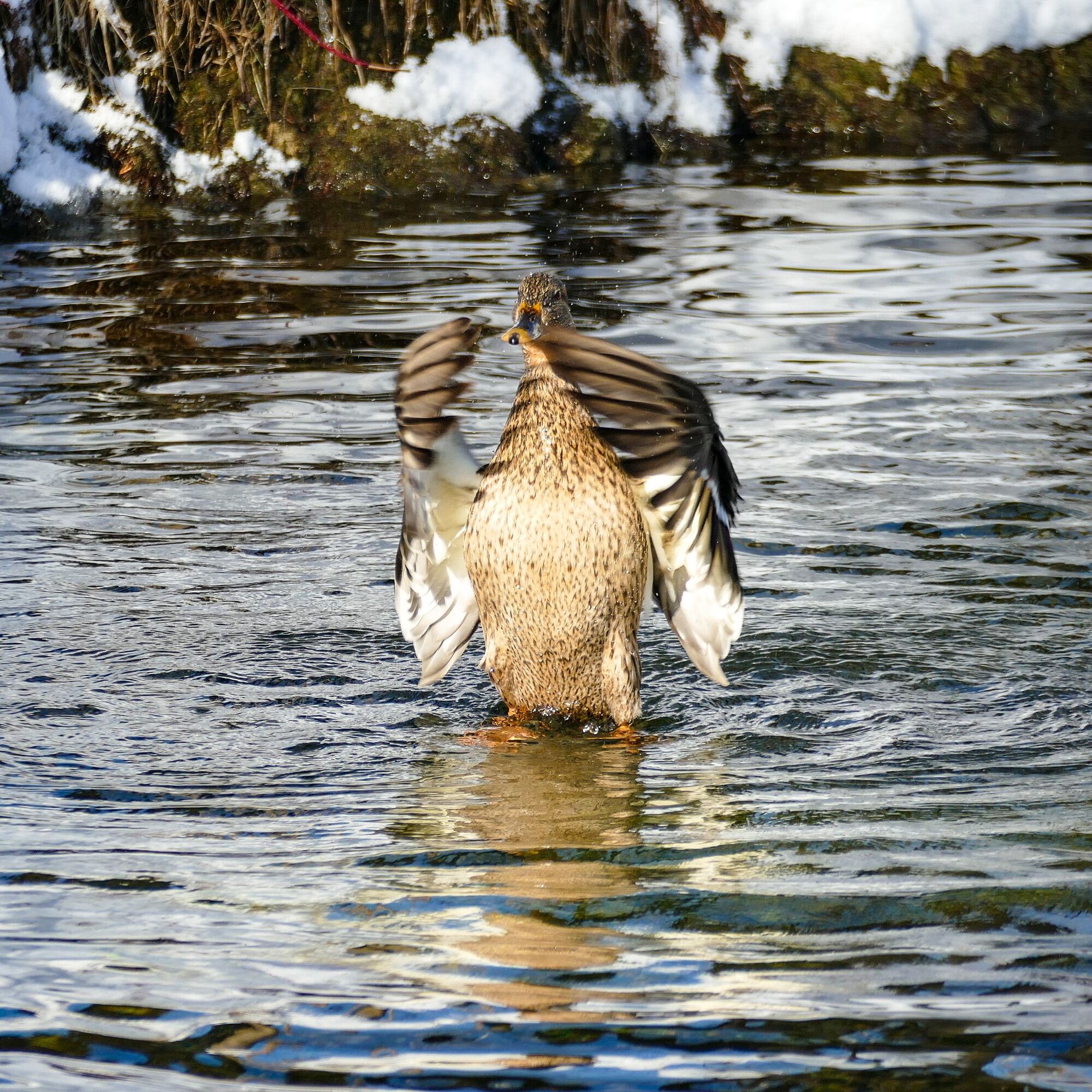


The first part of our hike takes us through the town of Rottach-Egern with its numerous shopping and dining options.
We first follow the Southern Main Street for a few minutes to the Weißach.
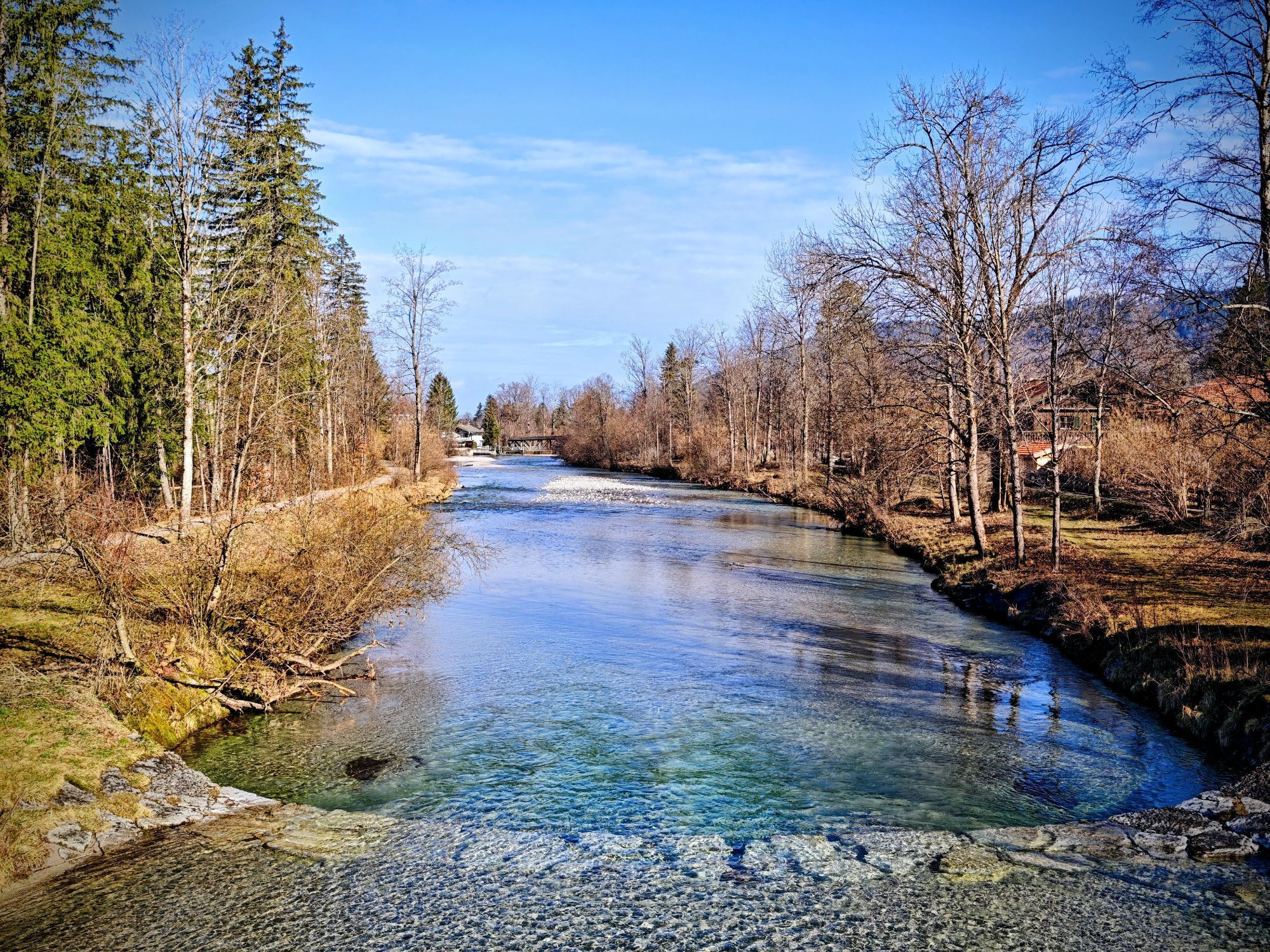
Along the river, we now go steadily upstream, depending on snow conditions directly along the shore (path 501). In the district of Trinis, we leave the last houses behind, and the path becomes gradually more solitary.
Please continue to use the left embankment path upstream with your four-legged friend; the right side of the Weißach is dog-free. Please keep your dog on a leash and stay on the designated paths in the Weissachauen protected landscape area. Thank you for your understanding.
Without major elevation changes, you will reach Kreuth after about two hours of walking.
Before you take the bus back to Rottach-Egern, a stop and stroll through the cozy town here is definitely worthwhile.
Tak
Tak
Sturdy footwear as well as weather-appropriate clothing, possibly a rain jacket.
All information without guarantee. Hiking and driving on the described routes is at your own risk.
A8 to Holzkirchen exit, via B318 to Rottach-Egern.
Take the MVV to Tegernsee, get off at Rottach-Egern at the "Post" bus stop.
Return trip free with the guest card from Kreuth to Rottach-Egern,
The bus runs from the "Riedlerbrücke" stop via Rottach-Egern to Tegernsee.
Rottach-Egern at the central car park in the town center.
1
 Uzyskaj wgląd
Zawsze na żywo z ponad 9 500 kamer internetowych. bergfex Jako użytkownik Pro, możesz teraz zobaczyć odpowiednie kamery internetowe dla wielu wycieczek w aplikacji wycieczki od. Pozwala to na bezpośredni podgląd aktualnych warunków.
Uzyskaj wgląd
Zawsze na żywo z ponad 9 500 kamer internetowych. bergfex Jako użytkownik Pro, możesz teraz zobaczyć odpowiednie kamery internetowe dla wielu wycieczek w aplikacji wycieczki od. Pozwala to na bezpośredni podgląd aktualnych warunków.
Popularne wycieczki w okolicy
-
4,6
Summit route to the Wallberg
średniWędrówka 12,2 km -
4,7
Königsalm
średniWędrówka 10,0 km -
4,8
Lengrieser Hütte
średniWędrówka 10,6 km -
4,2
Tegernsee Höhenweg - North
światłoWędrówka 12,3 km -
4,6
Roß- and Buchstein, Tegernsee Hut
ciężkiWędrówka 14,4 km -
4,7
Rotwand über Schliersee, Deutschland
średniWędrówka 15,4 km -
4,5
Brecherspitze
średniWycieczki górskie 14,5 km -
4,5
Aueralm/Zwerglberg
średniWędrówka 11,9 km -
4,5
Brecherspitz-Runde auf dem Normalweg Schliersee, Bayern
średniWędrówka 11,3 km -
3,7
Aueralm und Fockenstein
średniWędrówka 14,1 km
Wędrówki i tropienie


Nie przegap ofert i inspiracji na następne wakacje
Twój adres e-mail została dodana do listy mailingowej.





