







Mountain route - Ettaler Manndl circular route

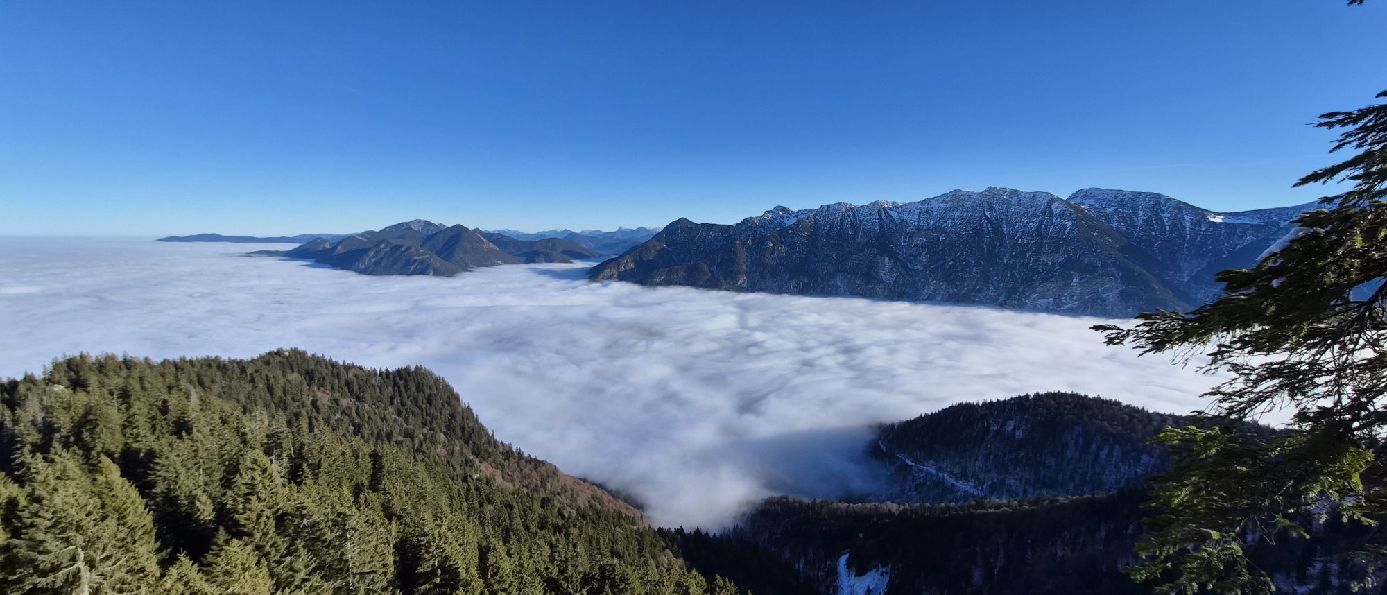


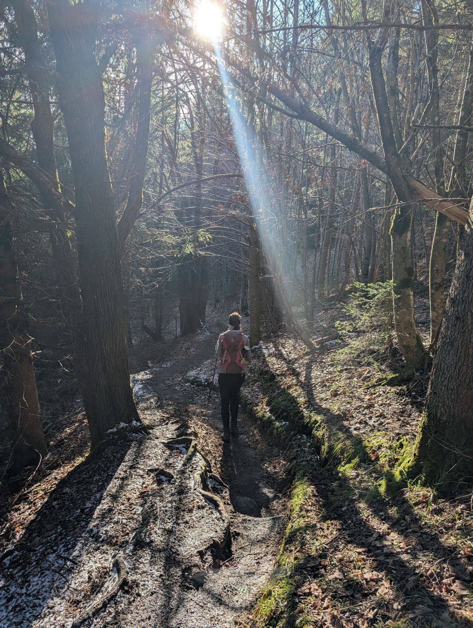
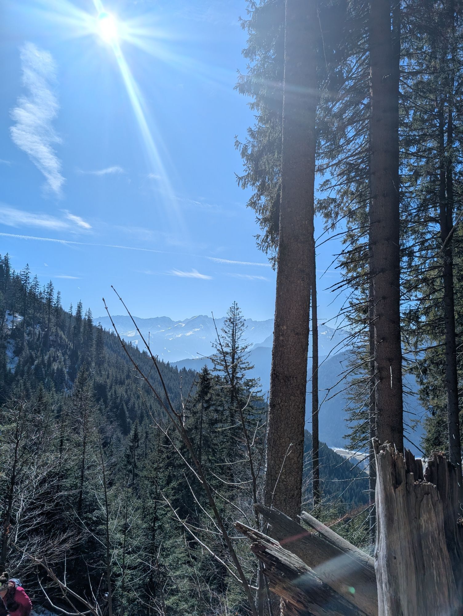
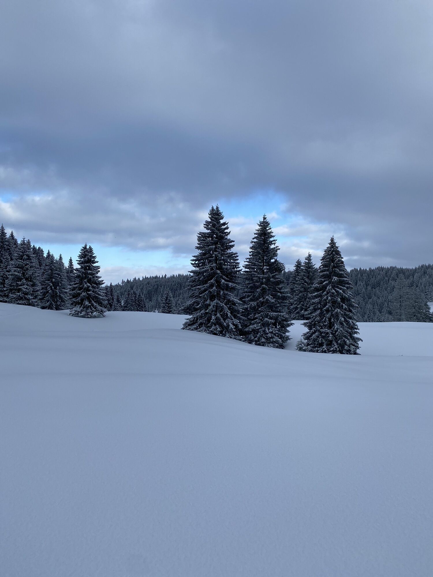
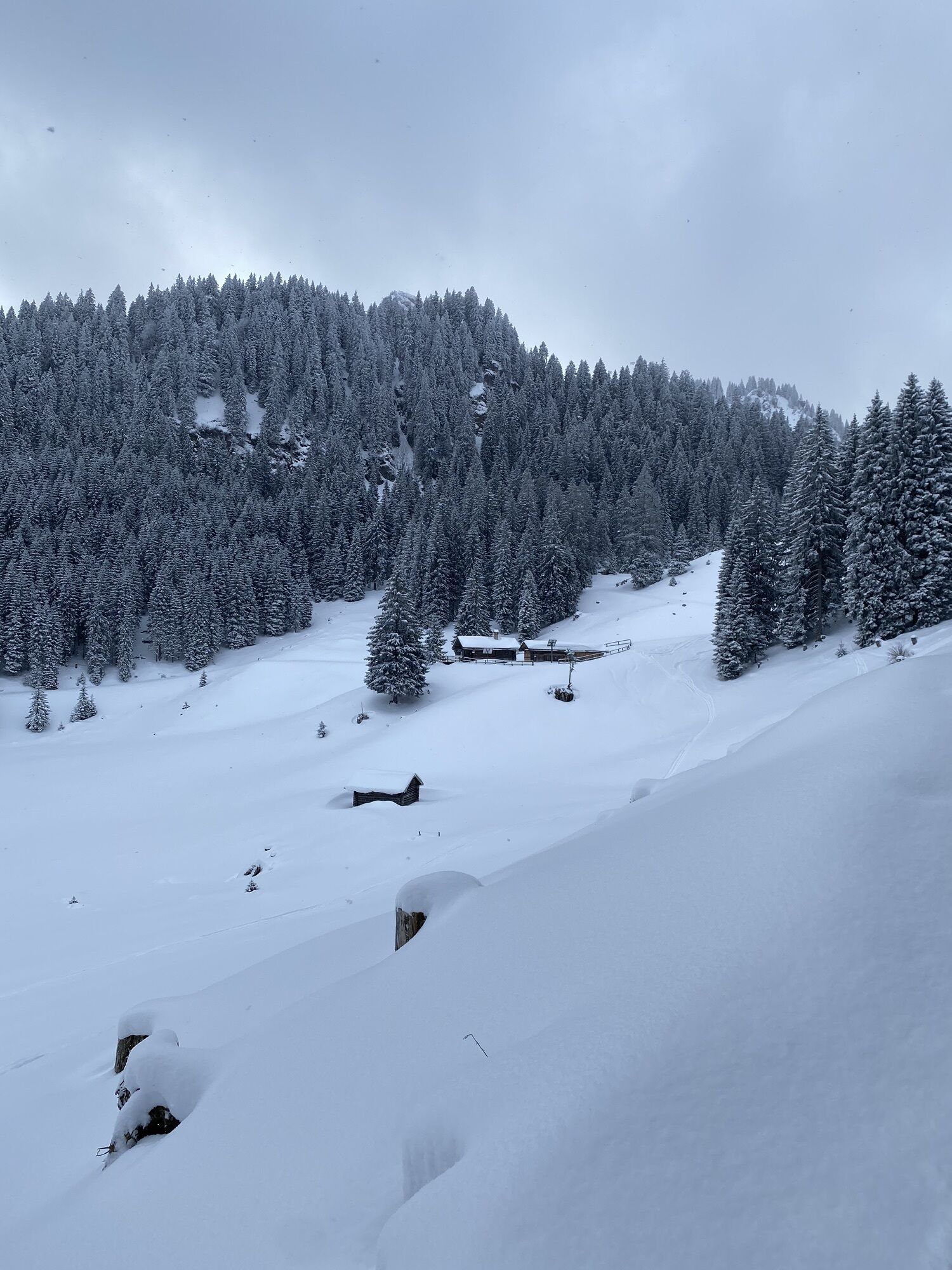
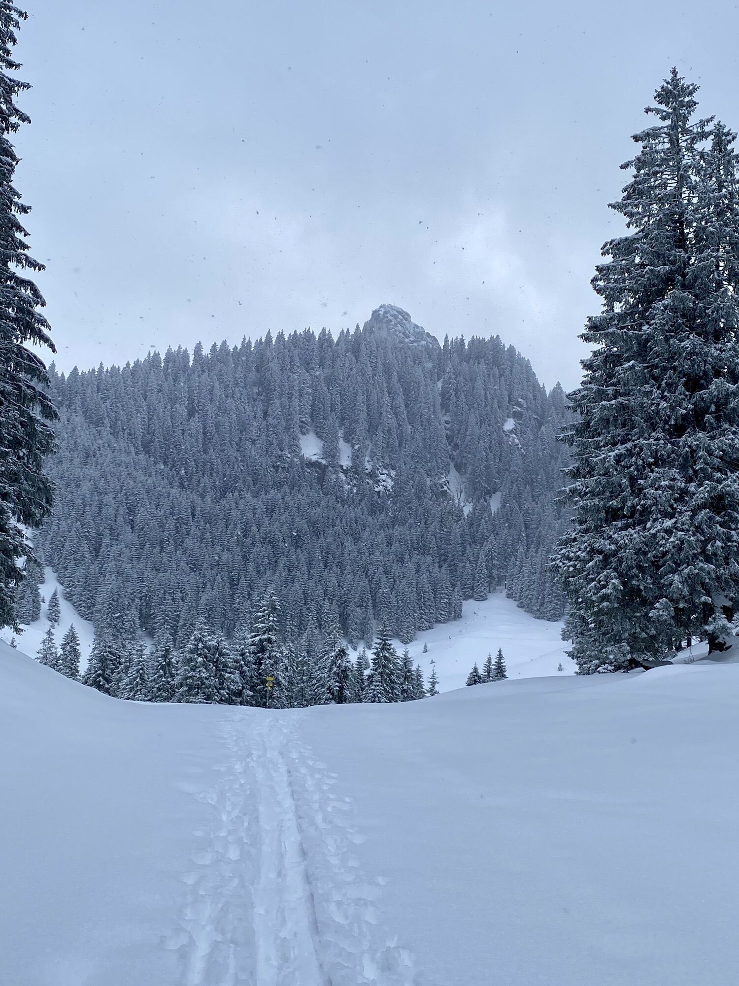
The route to the Ettaler Manndl and down past the Soilasee to Oberammergau is a must for every mountain hiker in the Bavarian Alps.
The start at Kloster Ettal and the view from the Ettaler Manndl to the...
The route to the Ettaler Manndl and down past the Soilasee to Oberammergau is a must for every mountain hiker in the Bavarian Alps.
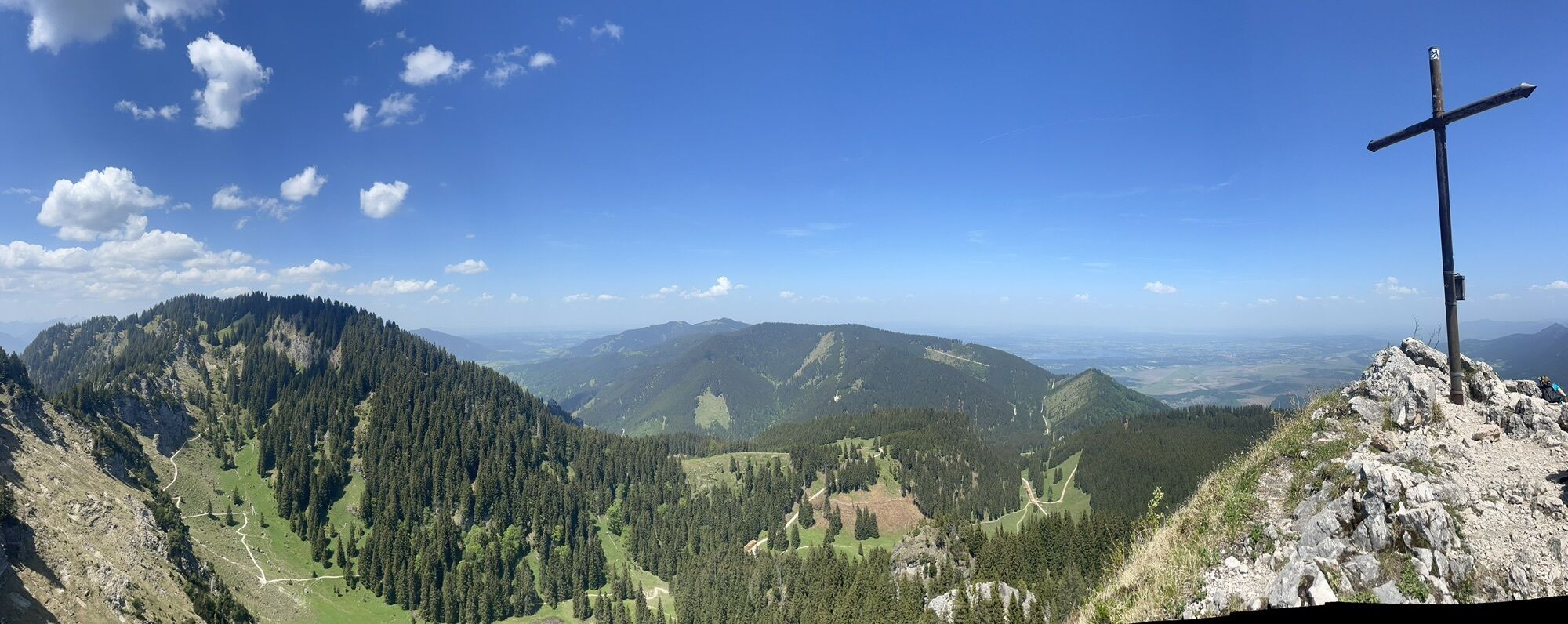
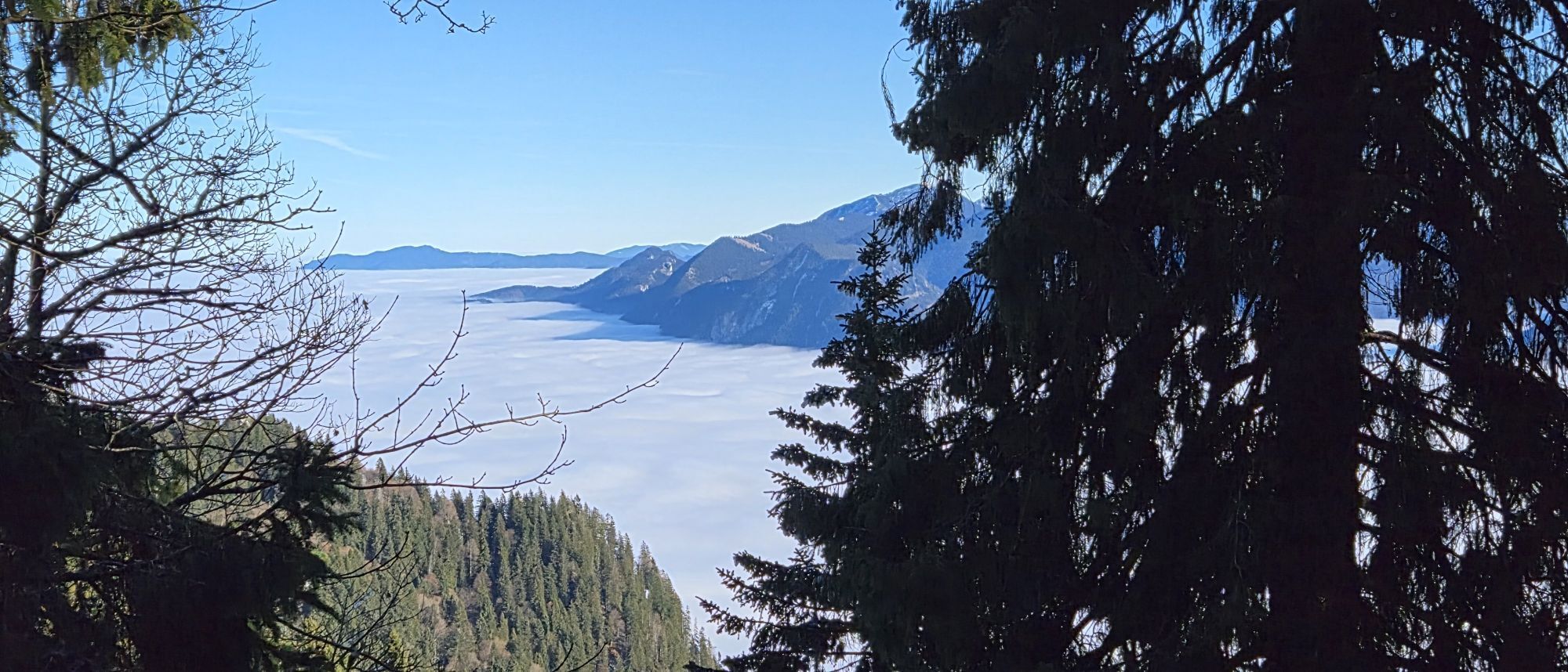
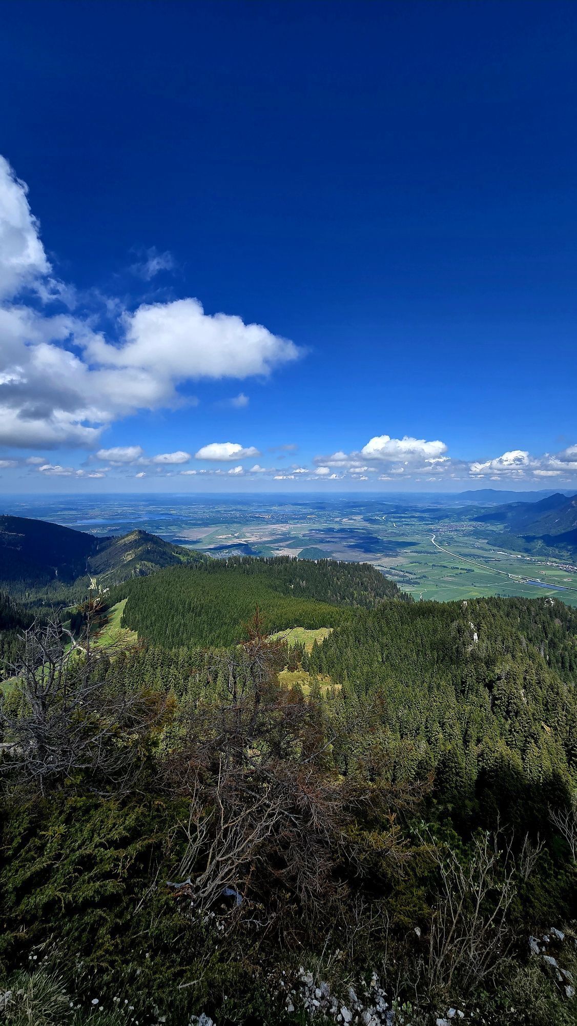
The start at Kloster Ettal and the view from the Ettaler Manndl to the Zugspitze massif form a rare harmony of natural spectacle and cultural monument in the German Alpine region.
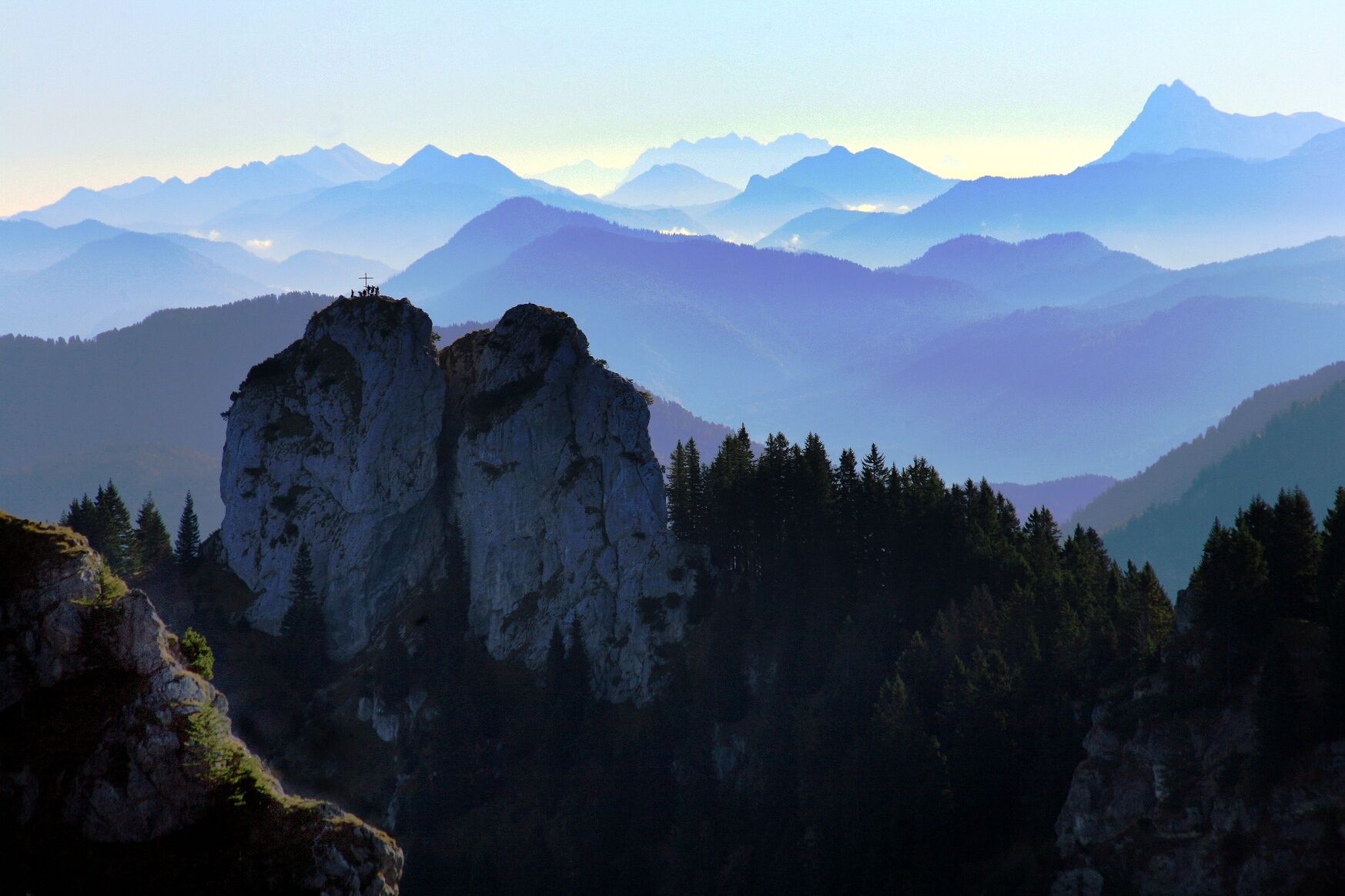
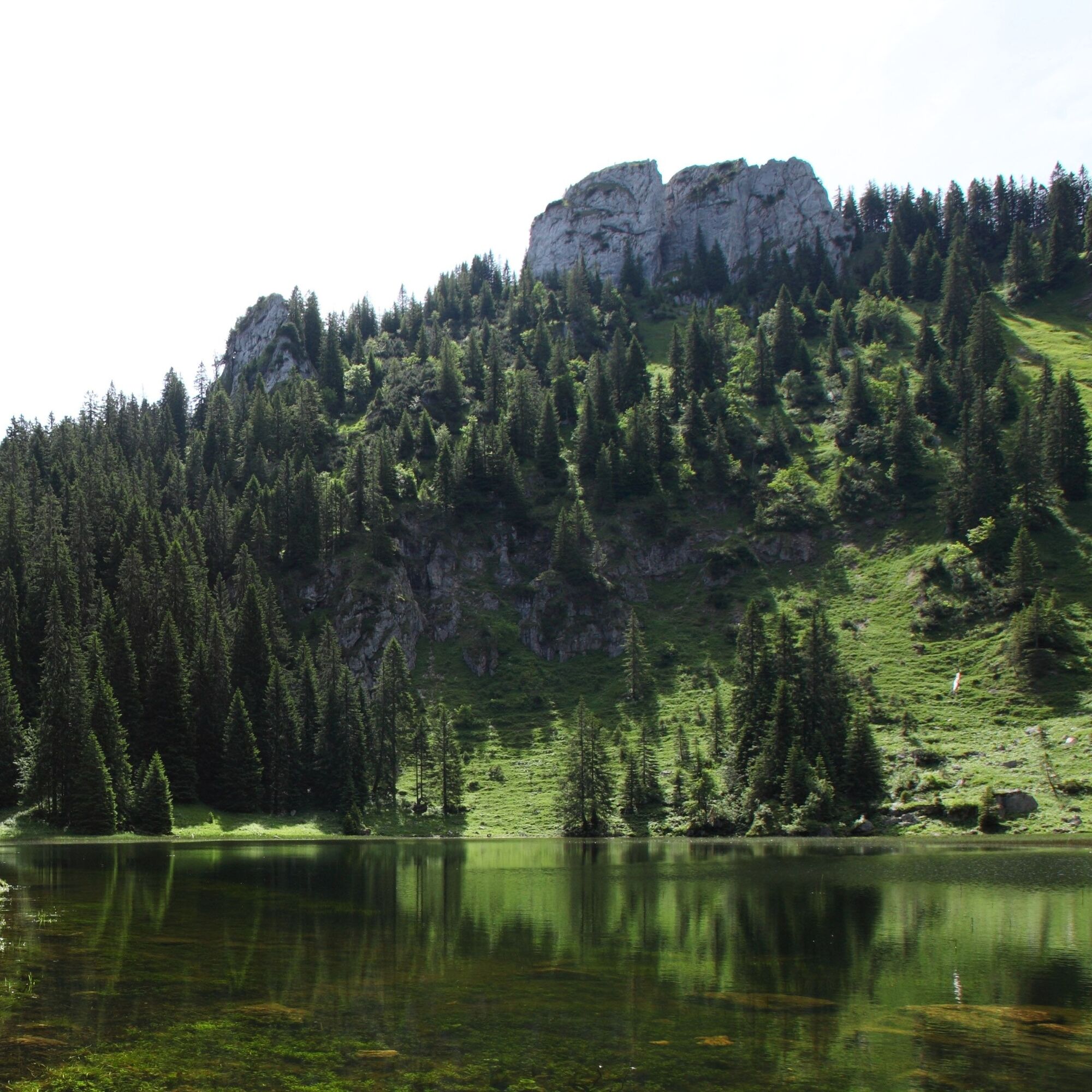
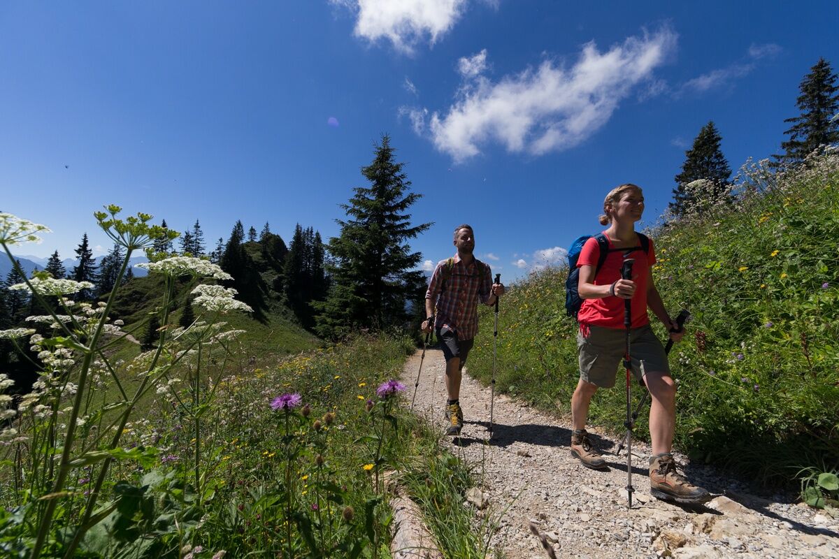
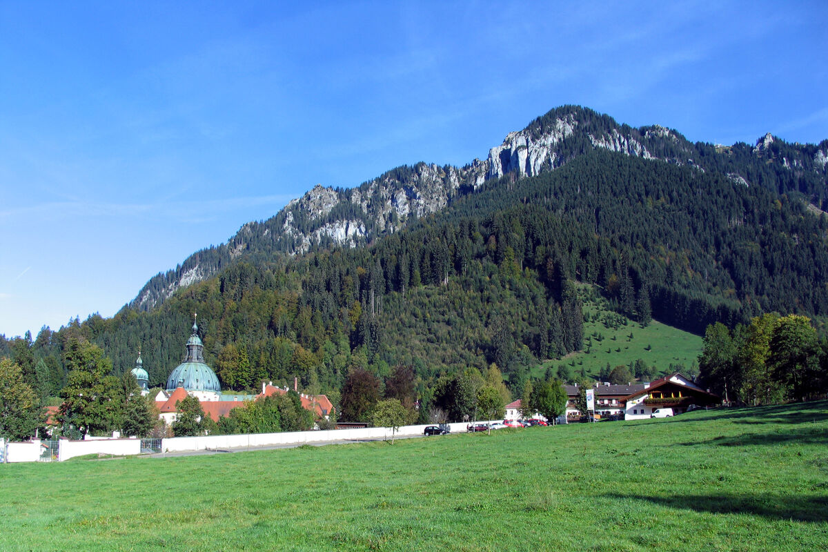


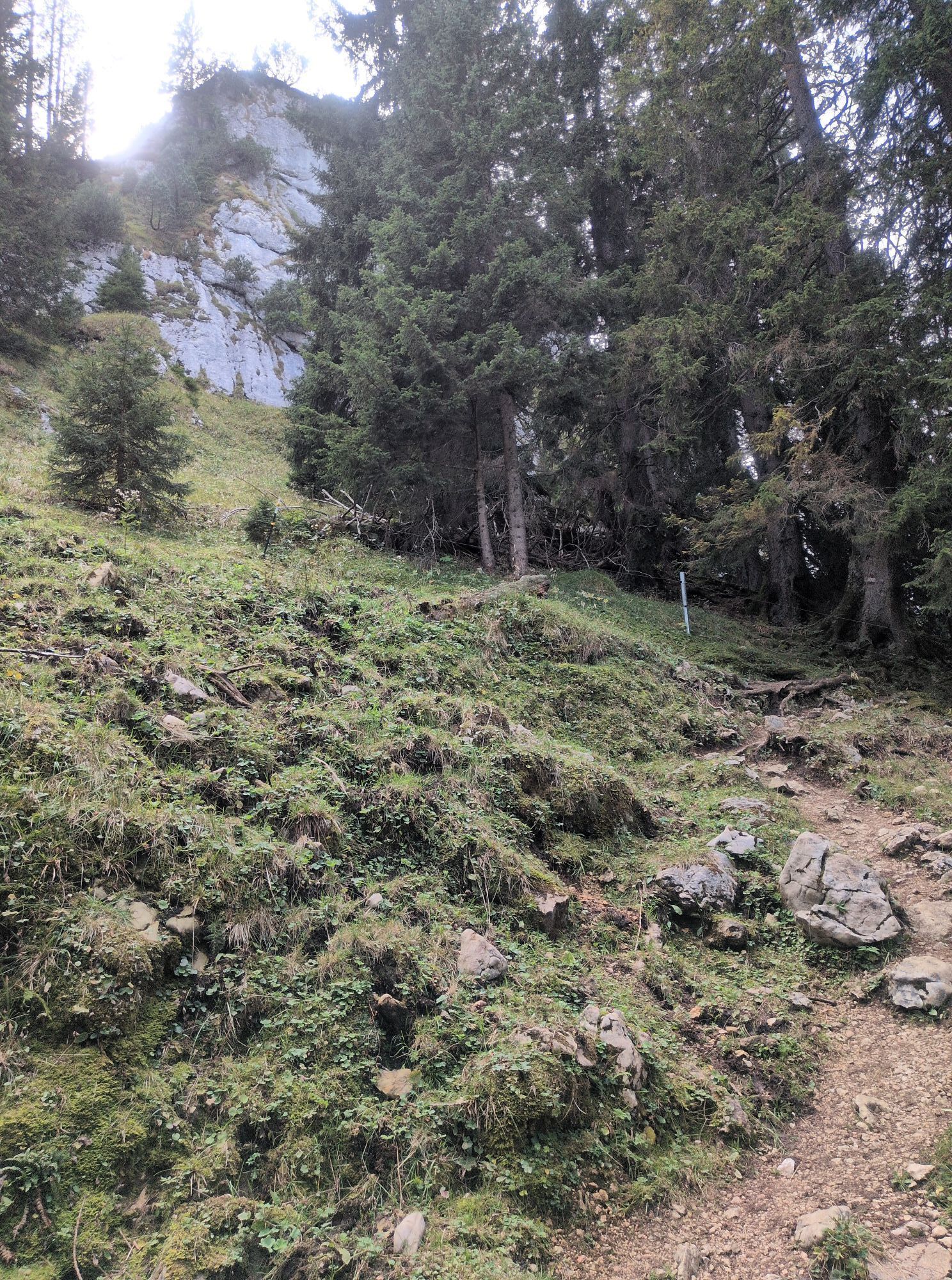
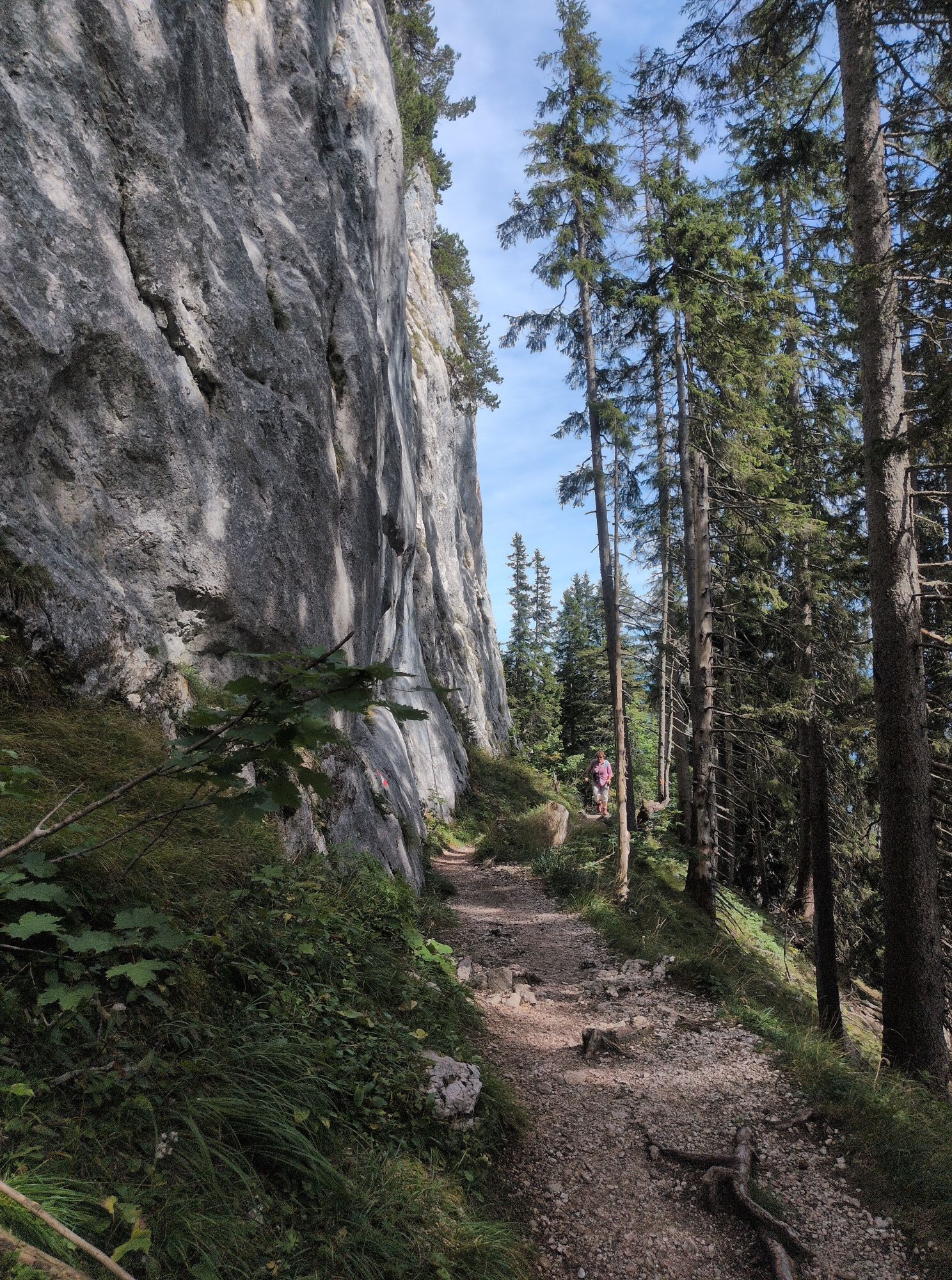
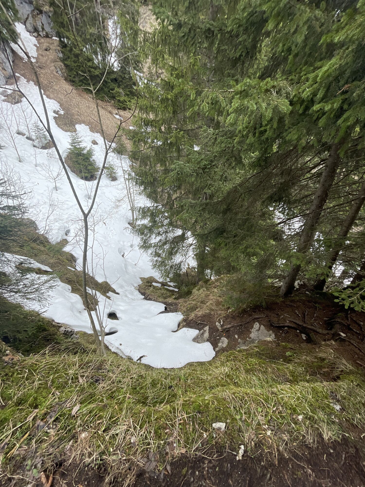
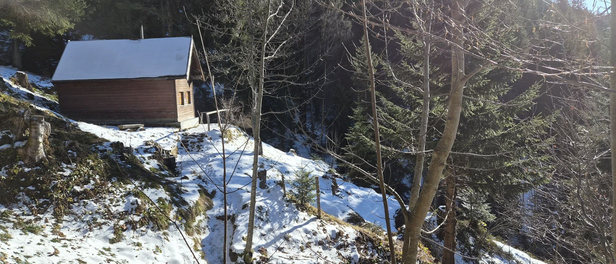
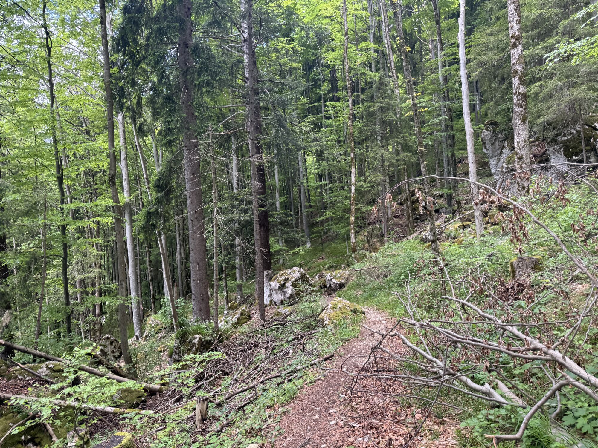
From the parking lot at the cemetery, go past the show dairy in Ettal. Soon you will reach a forest road leading further into the mountain forest. The forest road ends and turns into a narrow hiking path. Via the Tiefental forest hut you hike further up the mountain in steep switchbacks to the entry point below the large rock blocks of the Ettaler Manndl.
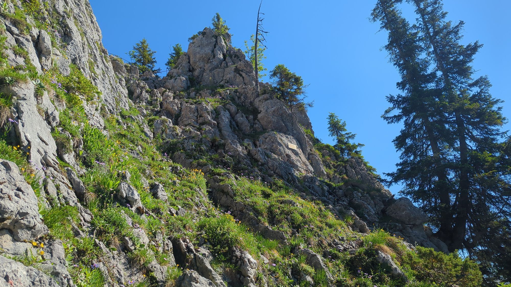
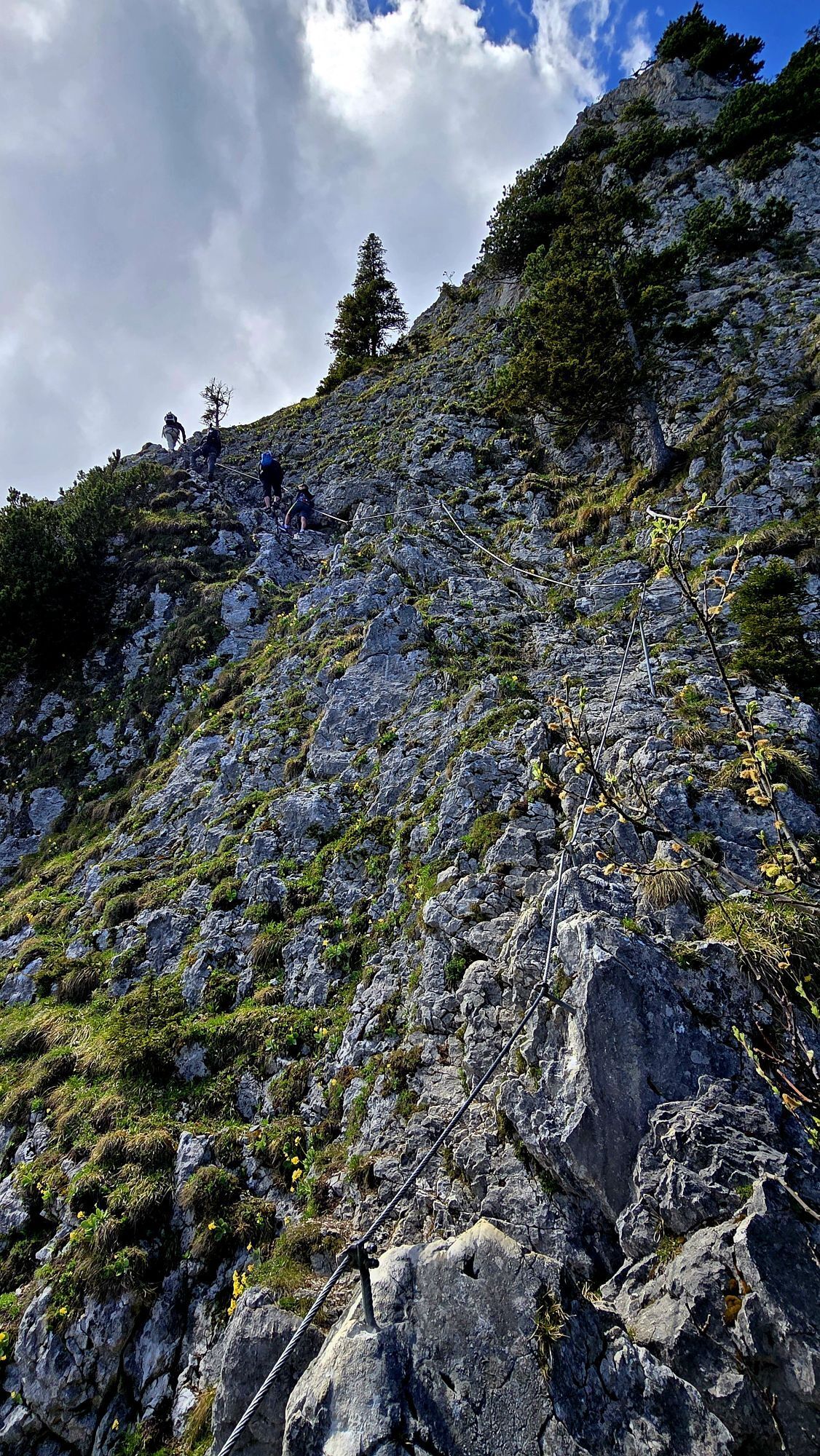
Test on the first few meters on the rock whether you feel confident for the path to the summit (via ferrata set is recommended). You climb up a small notch on fixed steel cables, then follow a rock ledge upwards to the left through the wall and finally climb directly and steeply to the fore summit, the Ettaler Weibl,.
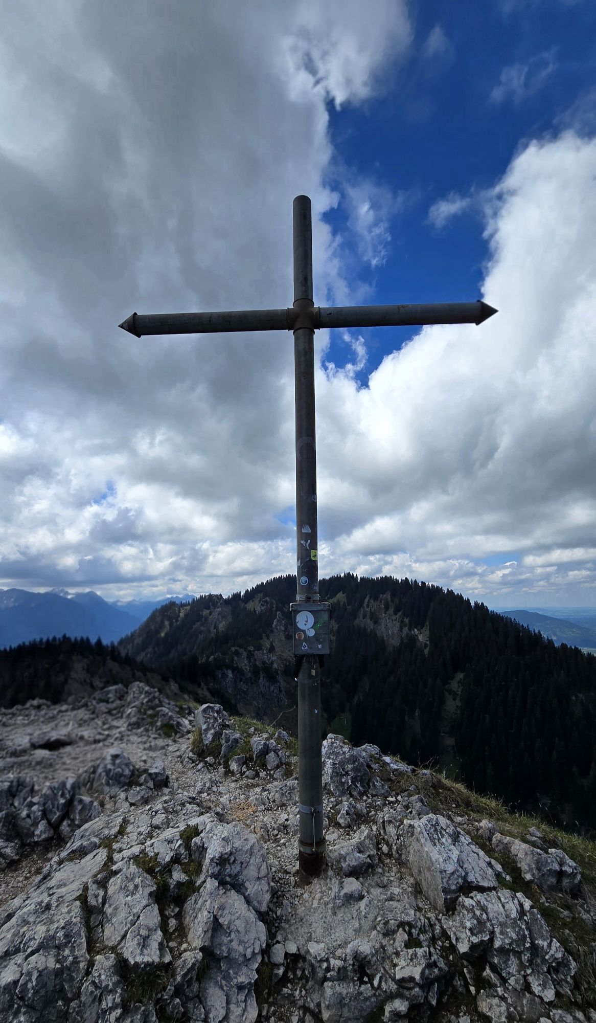
Over the notch and a short gully, it is only a few steps to the summit cross. The supporting chain is firmly attached throughout but is not suitable for self-belaying. Safely back down and back on the main path, turn left with the intermediate goal Soila Alm.
You first reach an idyllic cirque lake, the Soilasee. From here it takes only a few minutes to the Soila Alm. The romantically located Soila-Alm is also open in summer in good weather.
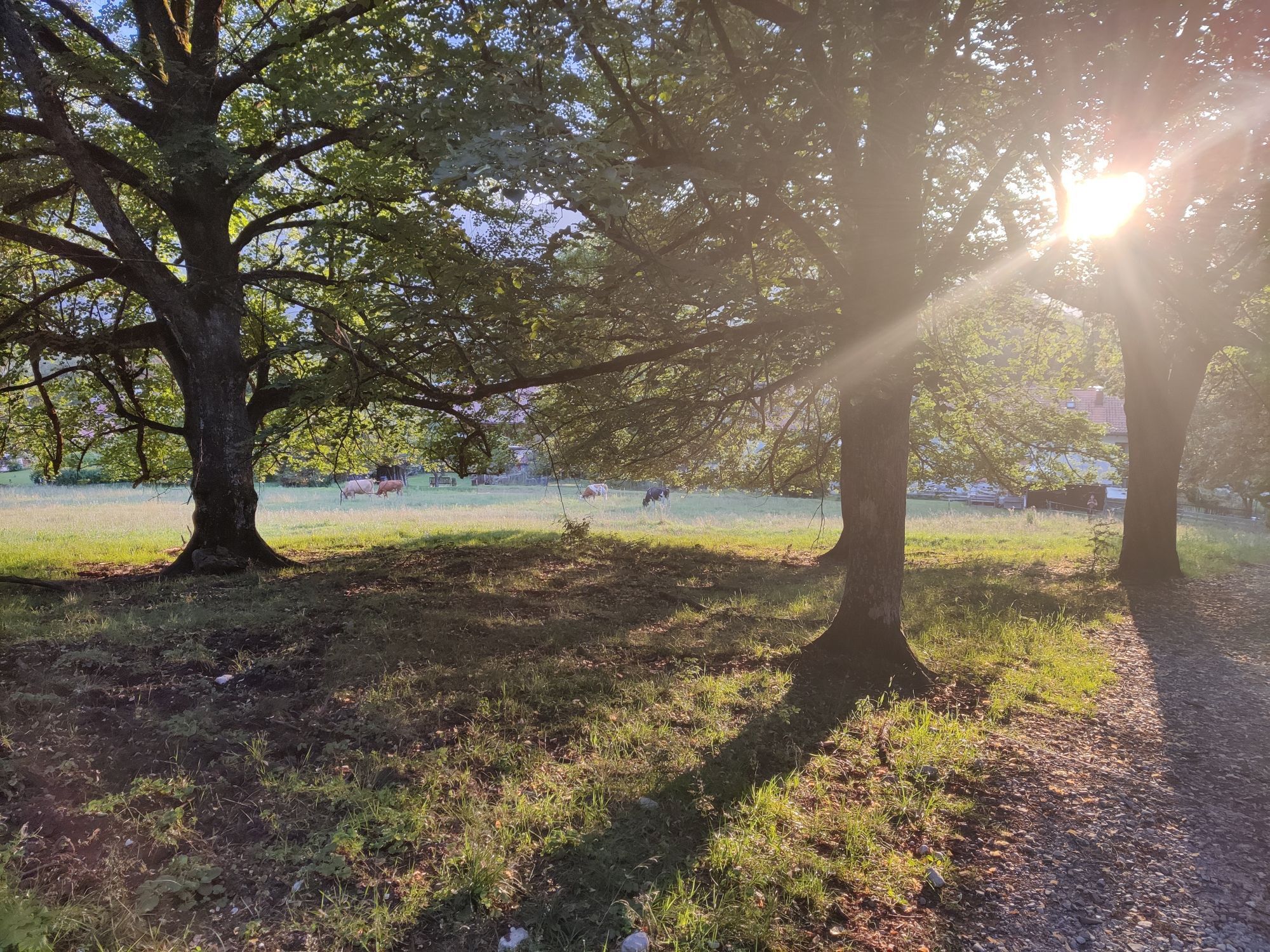
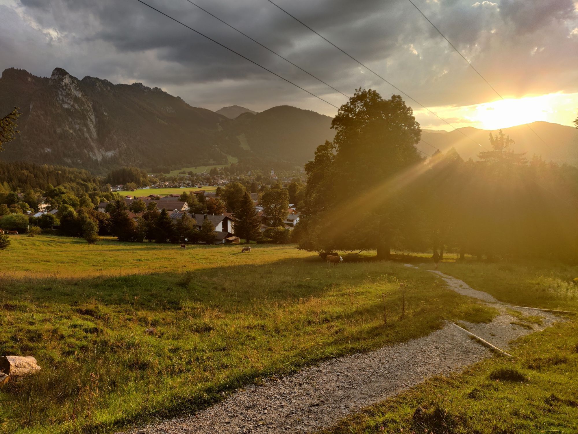
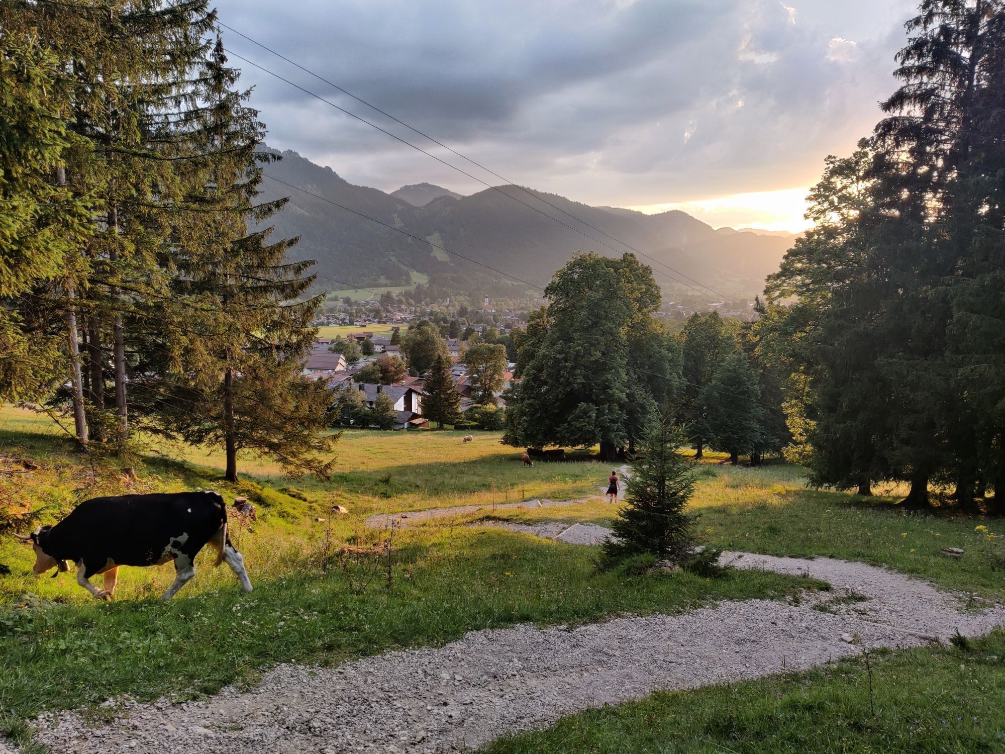
After a short rest, walk down towards Oberammergau, past the valley station of the Laber cable car to the Aufackerstraße. Turn left there and walk out of the village, which you then leave on the Vogelherdweg heading towards Ettal. The path winds along the federal road, slightly uphill to the starting point in Ettal.
Never get lost again - We recommend the free app "Zugspitz Region" with GPX tracks for all routes in the region.
Tak
Tak
Welcome to the Naturpark Teststubn! Here you can extensively test hiking poles, daypacks, child carriers, and crampons from well-known manufacturers before deciding to buy. Let our team advise you to experience the best possible outdoor adventure. You can find our Naturpark Teststubn in the tourist information offices of Bad Bayersoien and Bad Kohlgrub and at the Drahtesel Rental Lukas Spindler in Oberammergau.
More information: www.ammergauer-alpen.de/teststubn
The last section to the Ettaler Manndl is a short and partially exposed via ferrata! High risk of slipping on wet rock!
In an emergency, please contact the nearest rescue control center. Regardless of your location, you can reach it nationwide in Germany by dialing 112.
A95, B23 via Ettal to Oberammergau
The start and end point of this route is especially convenient to reach by the Ammergebirge ring bus line.
All information about the ring bus can be found here: www.ammergauer-alpen.de/ringbus
Cemetery parking lot, Ettal
Visit the show dairy Ettal after the route and try the cheese delicacies that are produced here daily from local milk.
Kamery internetowe z trasy

Popularne wycieczki w okolicy
- 4,4
Kuhfluchtwasserfälle
średniWędrówka 1,32 km - 4,8
Mountain route - Laber via Soilasee
światłoWędrówka 11,8 km - 4,6
Mountain route - Teufelstättkopf
średniWędrówka 10,8 km - 4,9
Rundweg Heimgarten und Herzogenstand
średniWędrówka 15,0 km - 4,8
Schafkopf
światłoWędrówka 10,2 km - 4,7
Murnauer Moos
światłoWędrówka 11,5 km - 4,6
Laber - Ettaler Mandl
światłoWędrówka 9,10 km - 4,7
Mountain route - Heimgarten via Käseralm
średniWędrówka 10,8 km - 4,5
Wank / Garmisch-Partenkirchen
średniWędrówka 11,8 km - 4,8
Kramerspitz (Rundtour)
średniWędrówka 14,5 km
Wędrówki i tropienie


Nie przegap ofert i inspiracji na następne wakacje
Twój adres e-mail została dodana do listy mailingowej.





