







Circular hike to the Edelsberghütte (formerly Gundhütte)

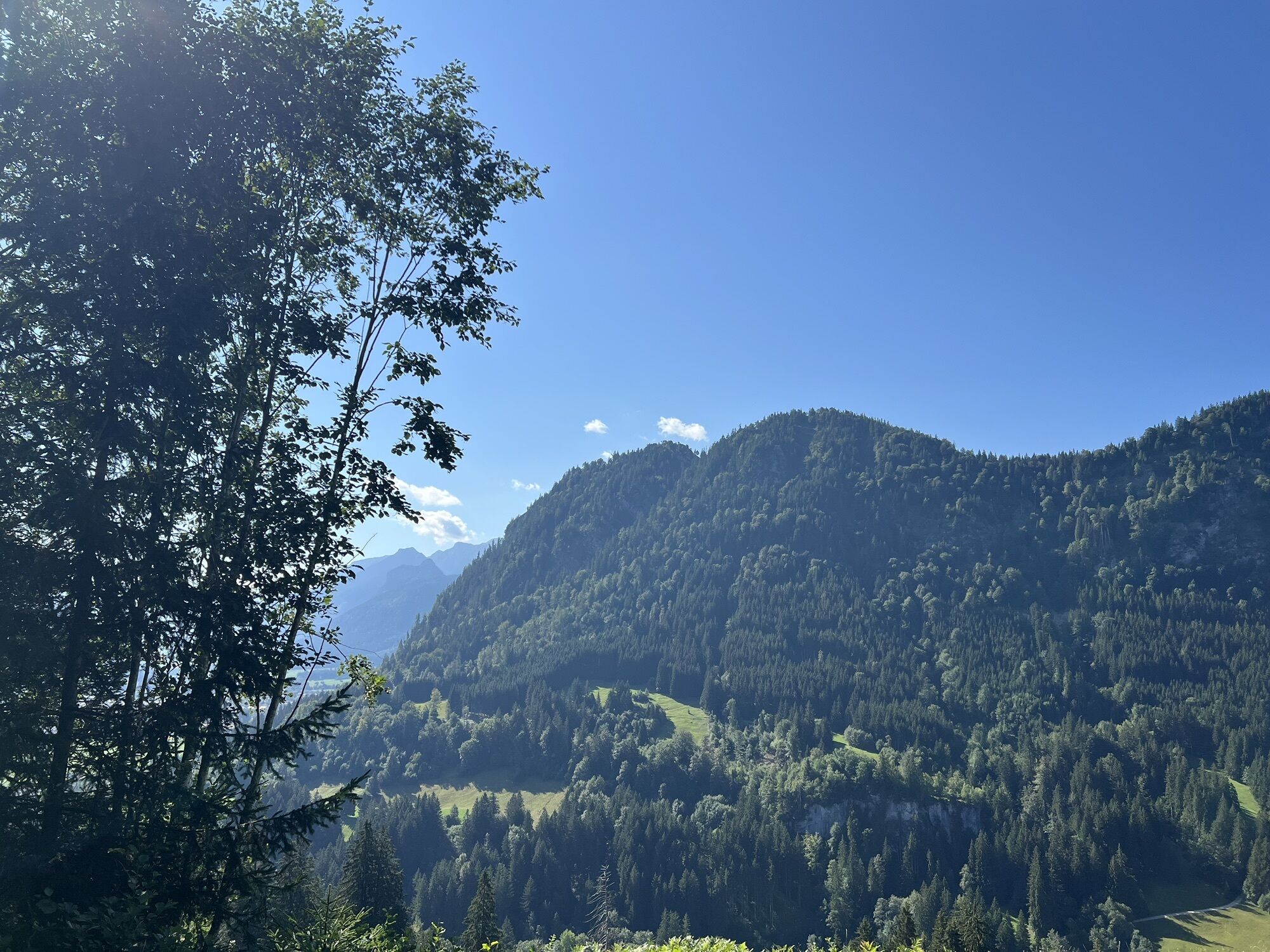
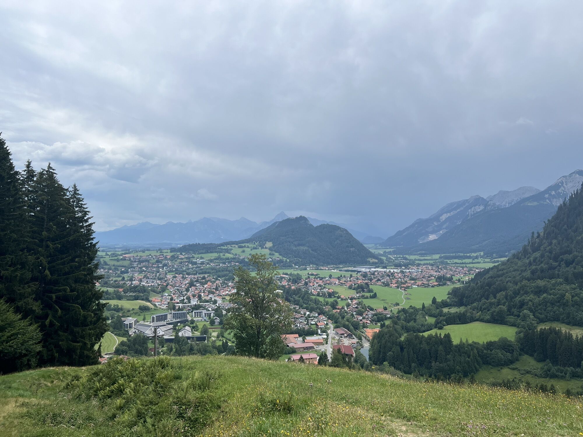
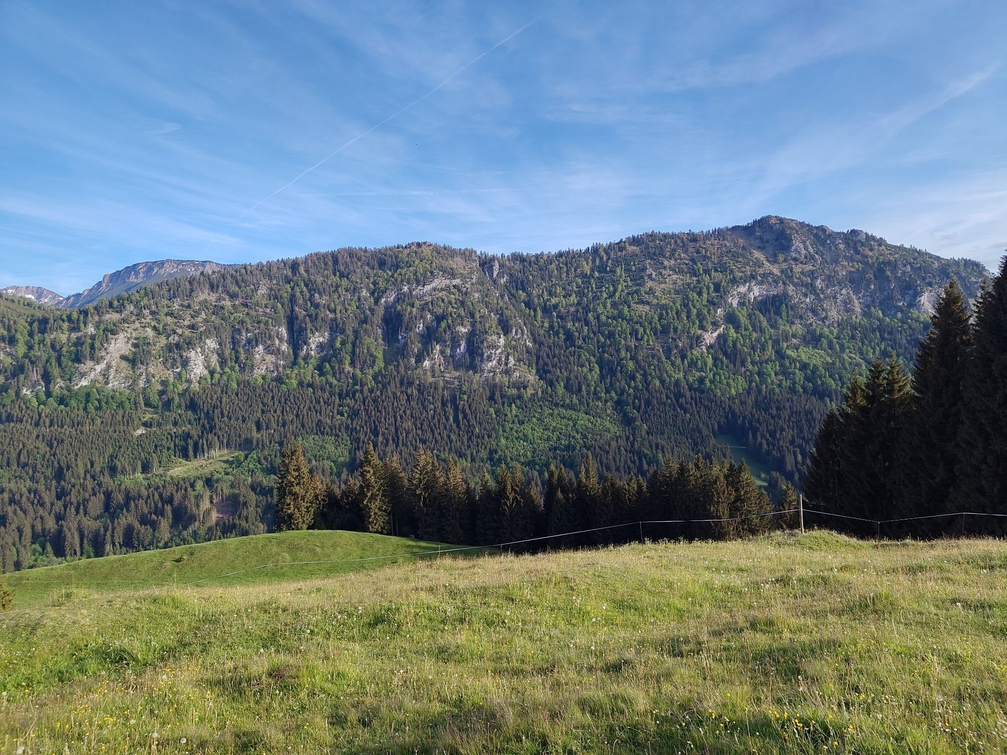
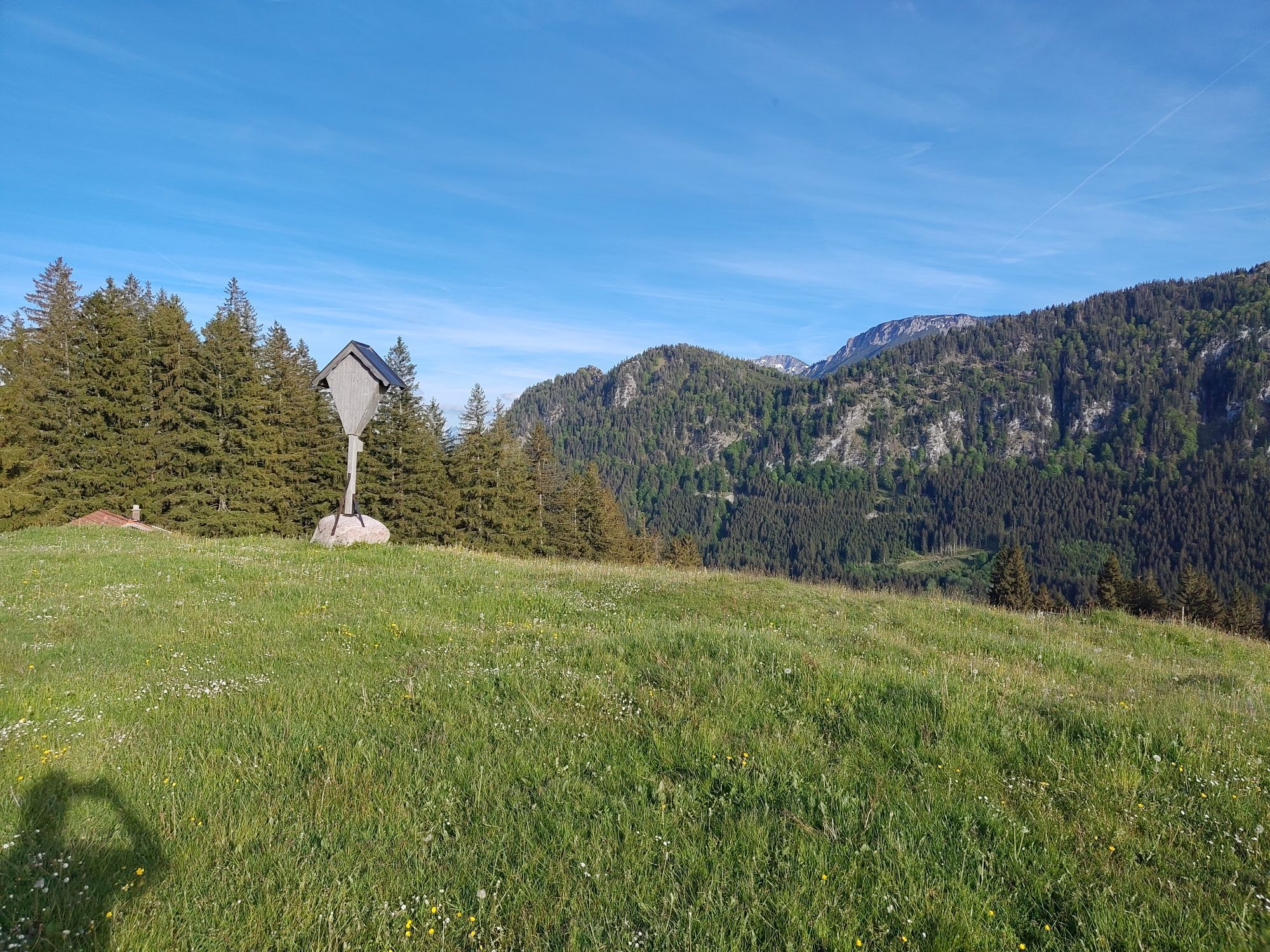
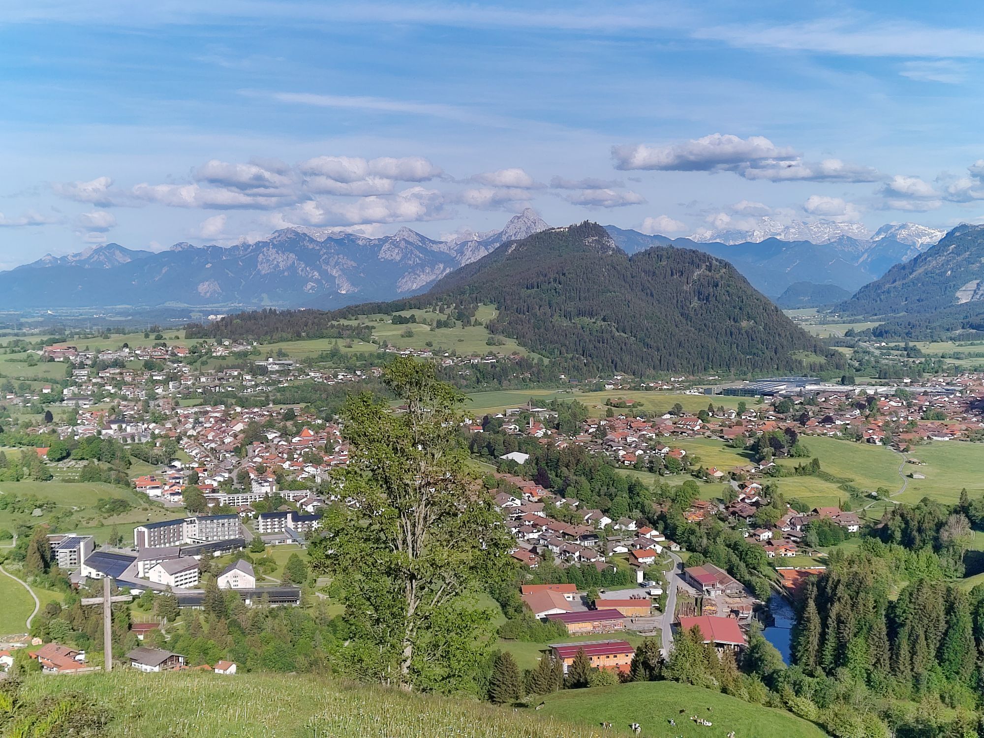
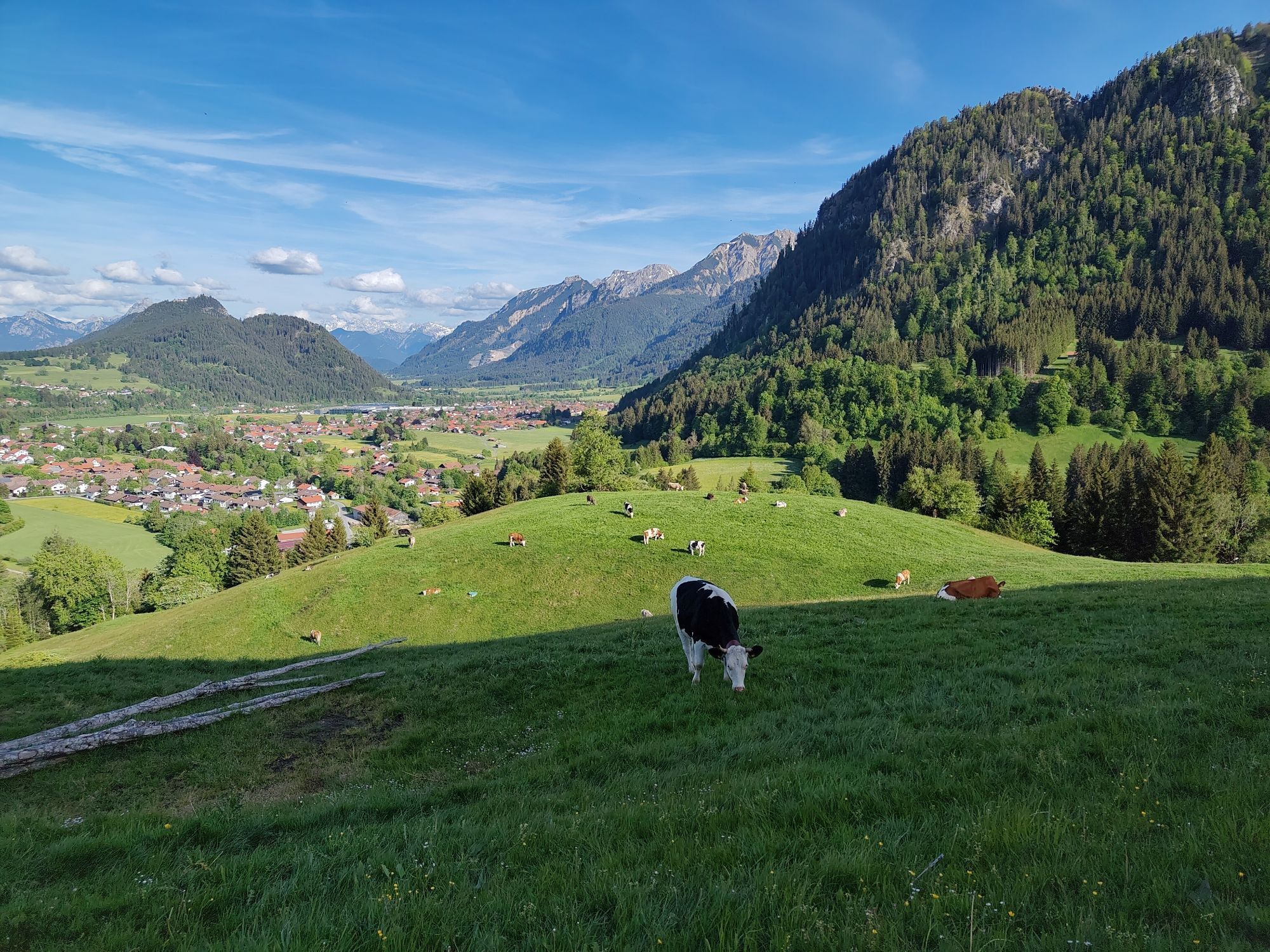
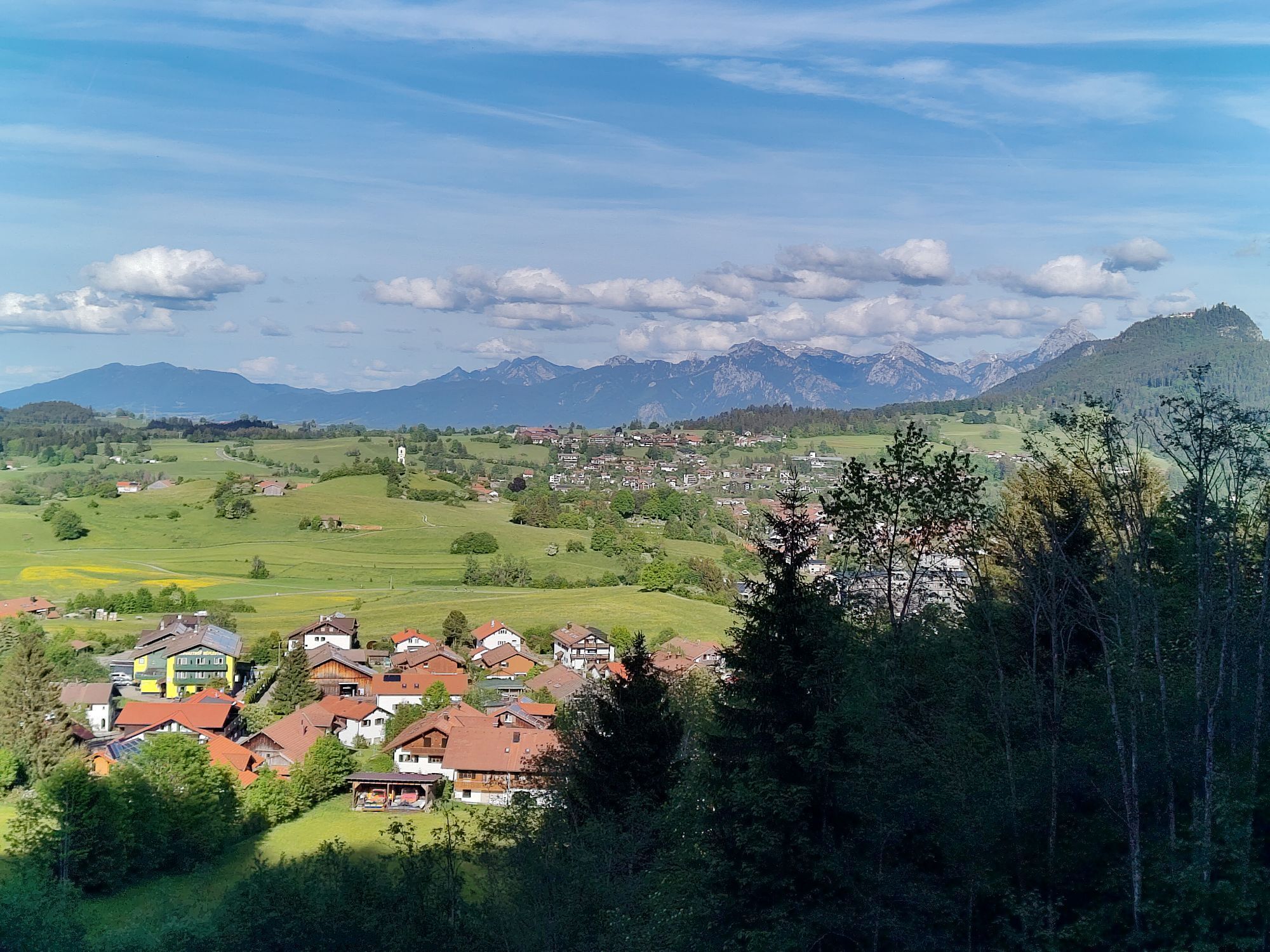
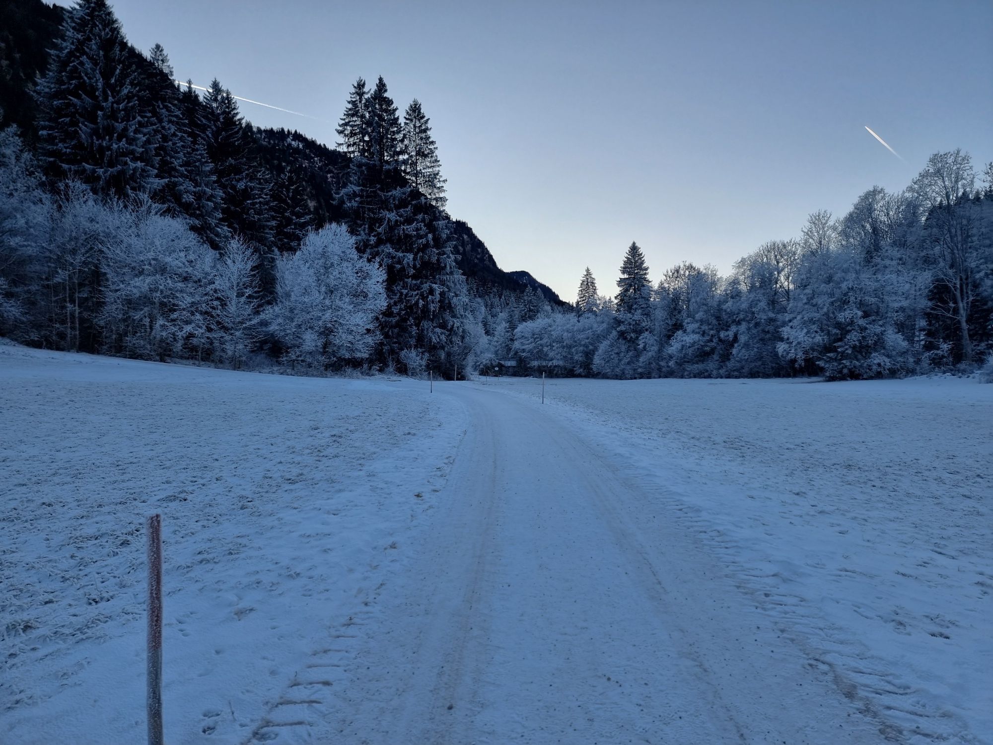
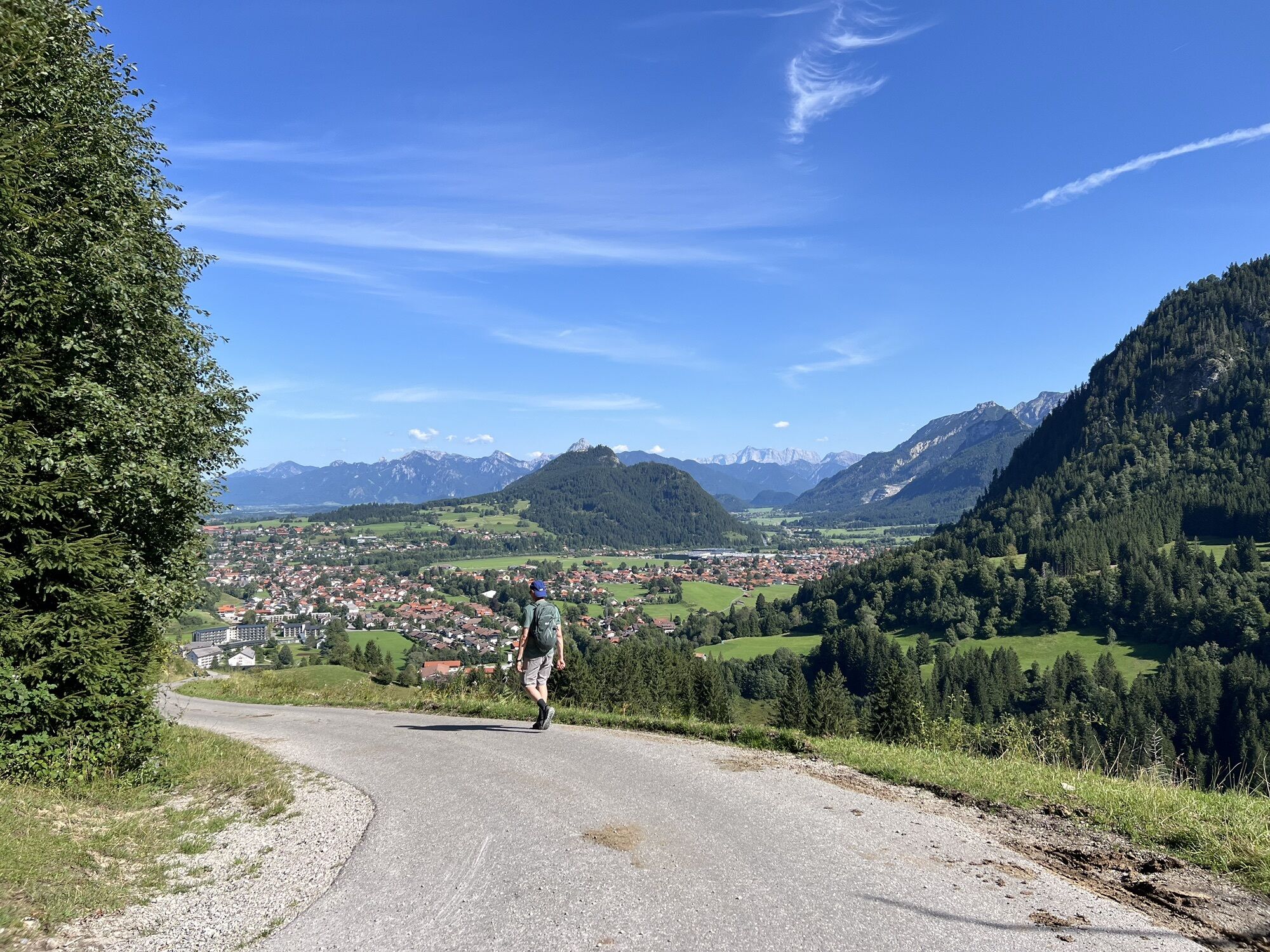


This hike takes you to the Edelsberg to the Edelsberghütte. First, you follow a beautifully located forest road to a high plateau on Edelsberg, where you are rewarded with a beautiful Alpine panorama and...
This hike takes you to the Edelsberg to the Edelsberghütte. First, you follow a beautifully located forest road to a high plateau on Edelsberg, where you are rewarded with a beautiful Alpine panorama and vast mountain meadows. Upon arrival at the hut, you enjoy your well-deserved stopover before heading back via the Vilstal, always along the Vils River.

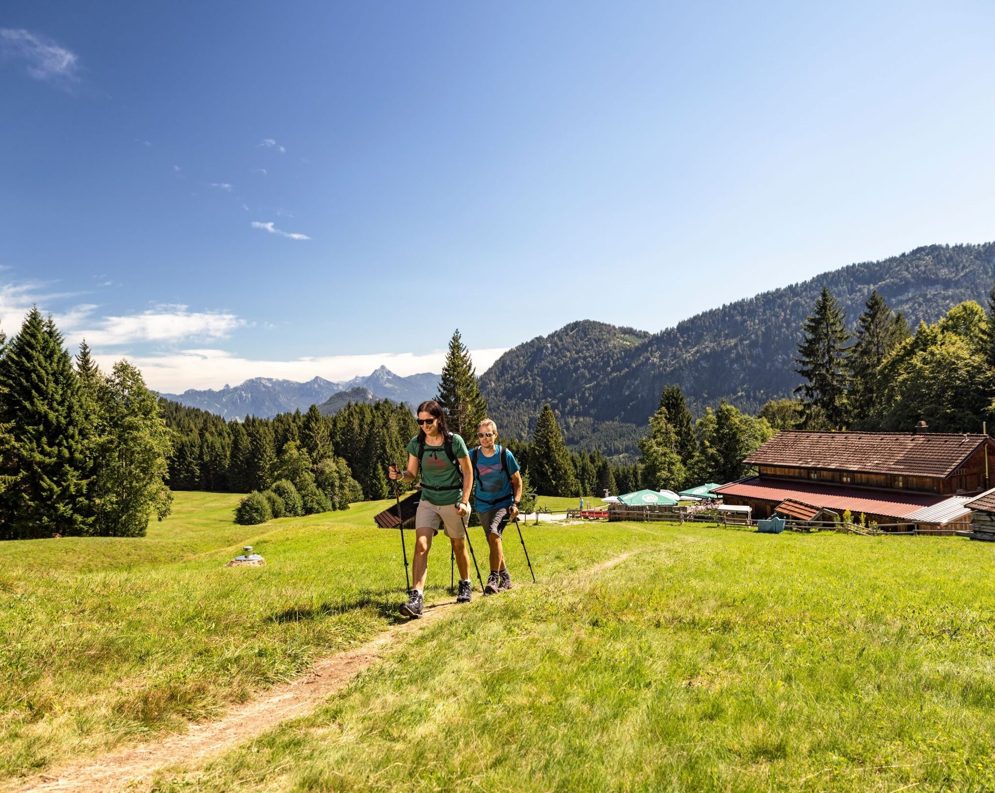
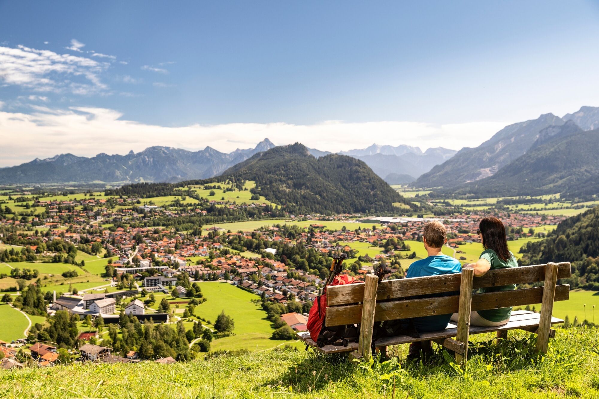
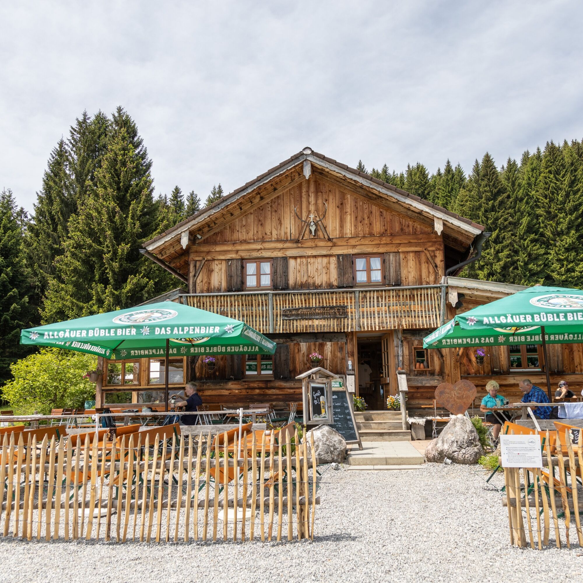
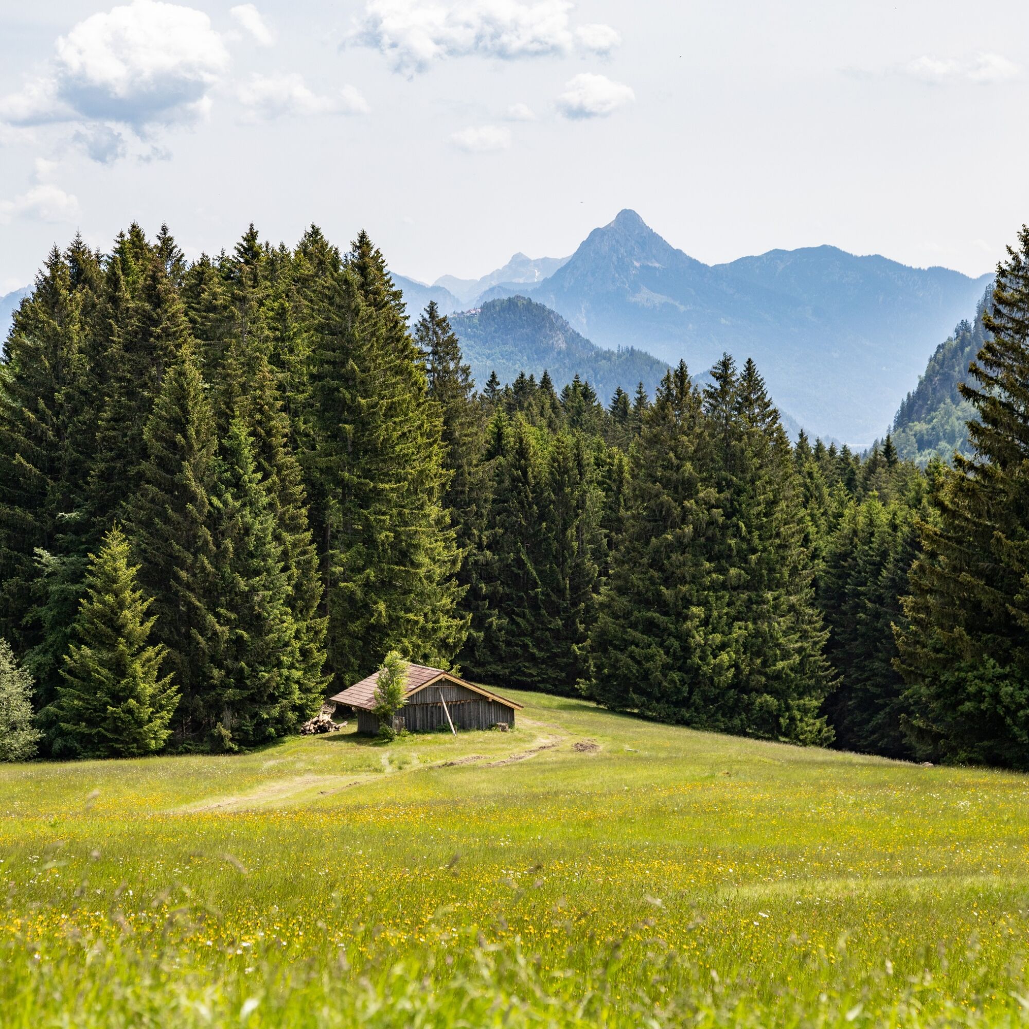
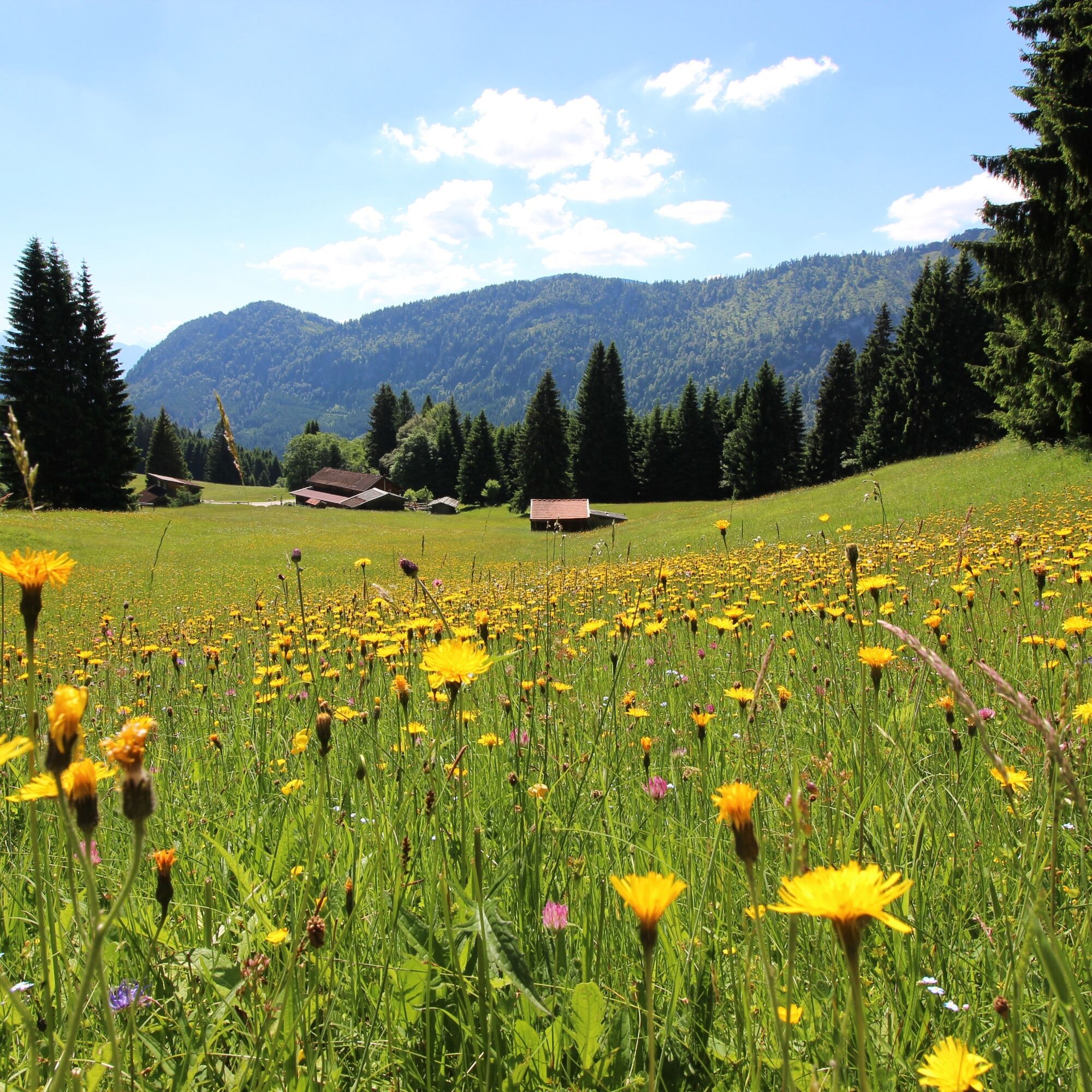


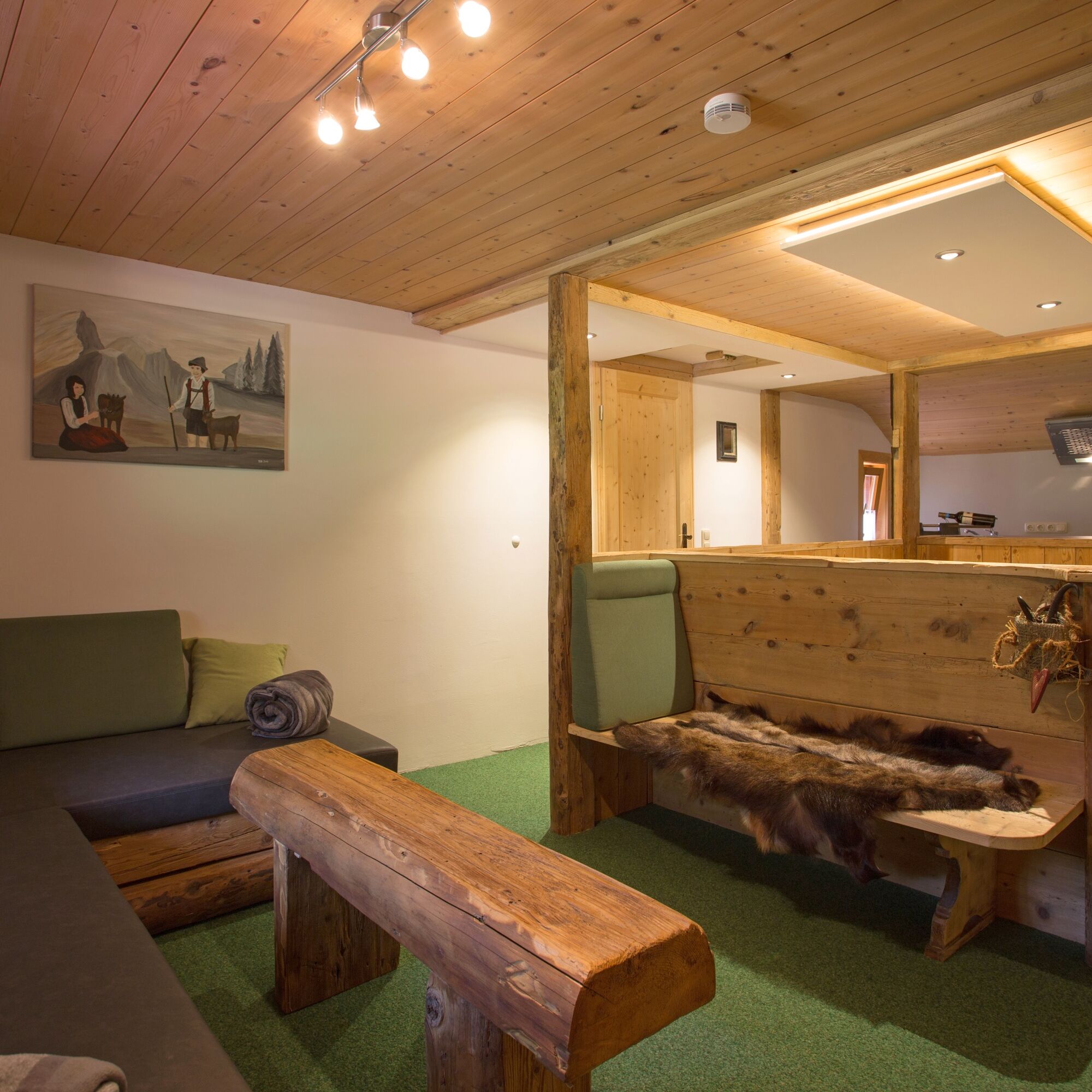
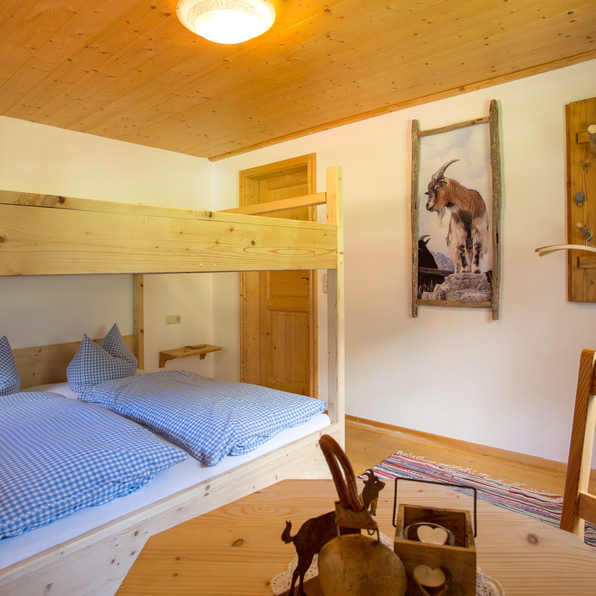
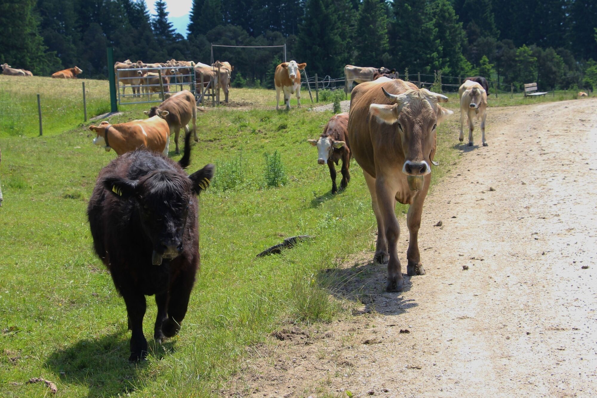
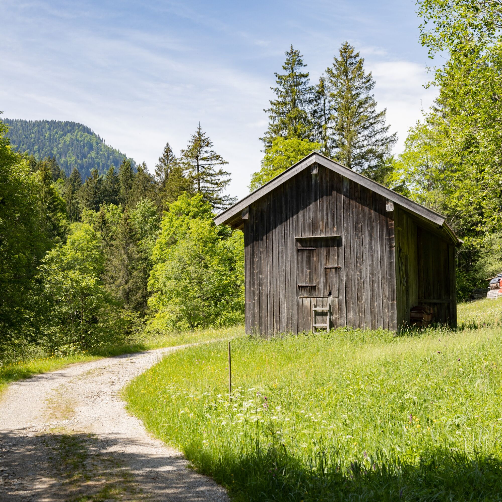

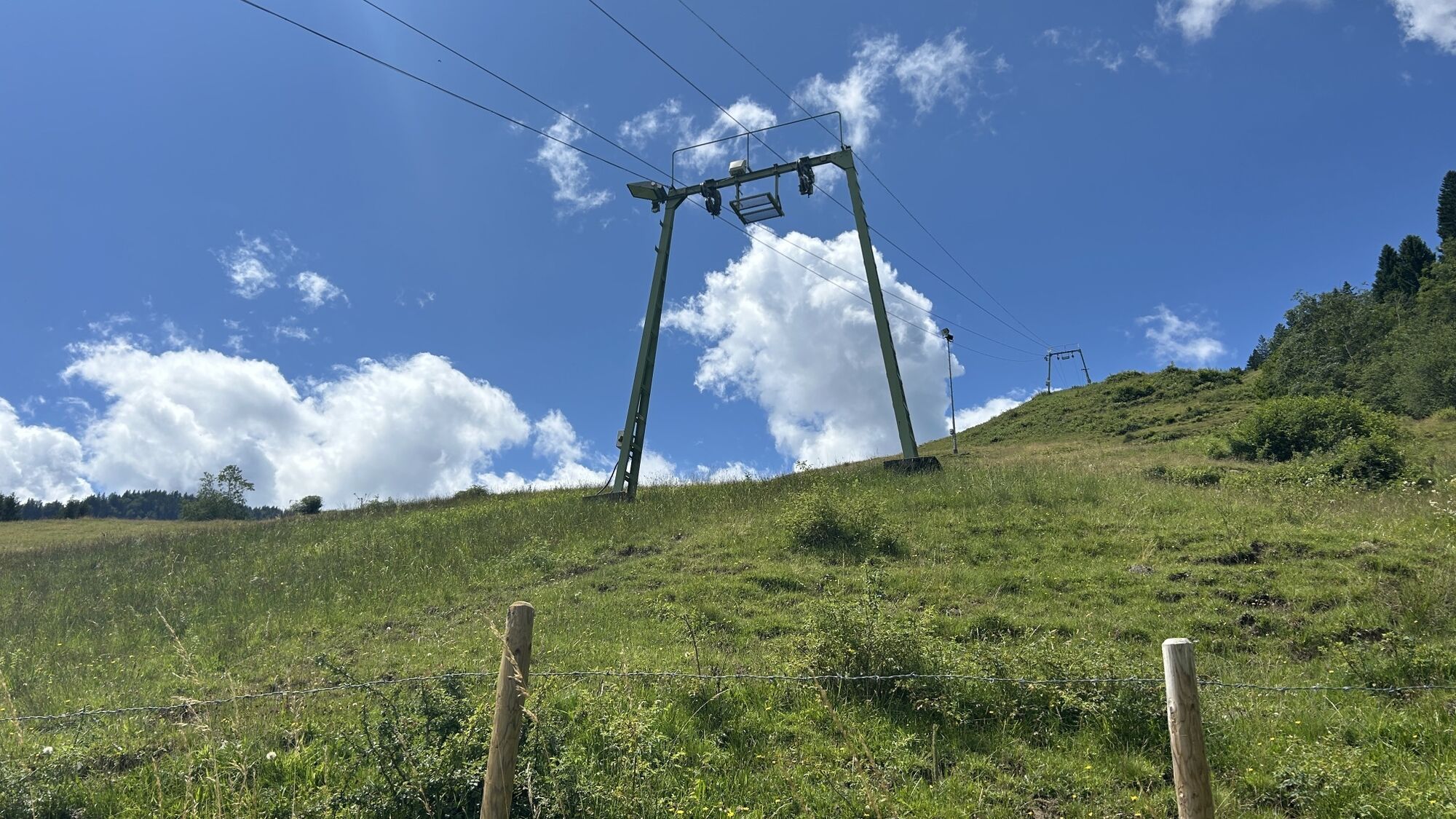
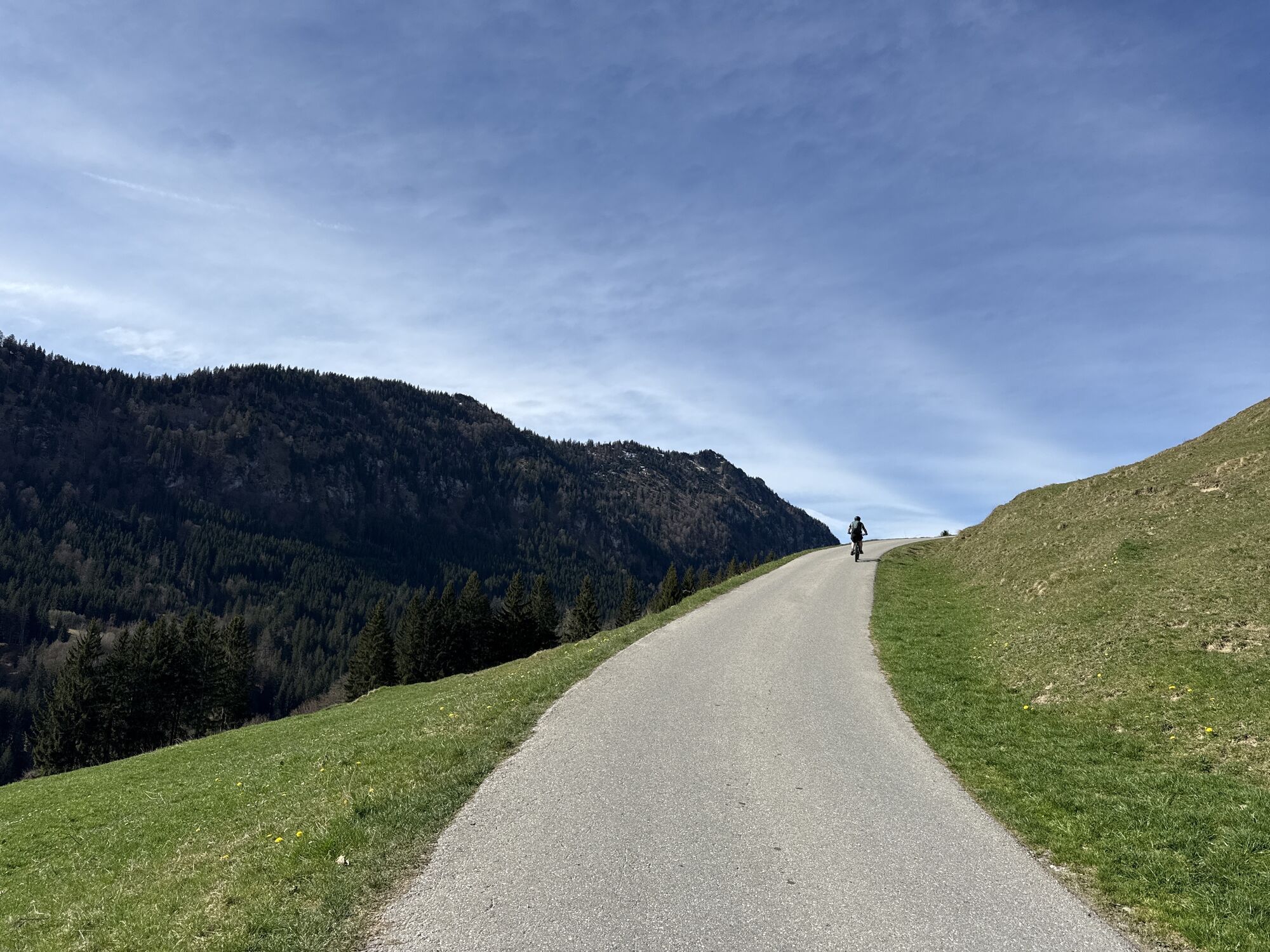
From the parking lot at the Röfleuten Fire Station, the hiking path initially leads over a section of ski slope before you take the left turn onto the forest road. Follow this until you reach the Edelsberghütte. The descent takes place via the Vilstal. You will find this directly to the left of the hut, where the path leads you through the forest back down to the valley. You return to the Fire Station by following the path to the left onto the asphalt road once you have reached the bottom. Follow the signs back to the starting point in Pfronten-Röfleuten.
Tak
Sturdy footwear, a backpack with provisions, and a rain jacket or sun protection depending on the weather are recommended.
B 309 - Peter-Heel-Straße - Edelsbergweg
Allgäu Mobil stop Pfr.-Röfleuten Fire Station/Ski lift
Sonnenlifte Röfleuten/Fire Station
Further information can be found at www.pfronten.de
By the way, there is also a delicious hut breakfast at the Edelsberghütte!

Kamery internetowe z trasy
Skizentrum Steinach / Pfronten
Pfronten-Halden / Hotel Zugspitzblick
Pfronten - Boutique Hotel Blaue Burg Falkenstein
Nesselwang - Alpspitzbahn Mittelstation
Pfronten - Ostlerhütte
Eisenberg - Burgruine
Nesselwang - Alpspitzbahn Sportheim Böck
Nesselwang - Alpspitzbahn Talstation
Breitenbergbahn - Pfronten
Pfronten - Skizentrum

Aktywności na trasie


Popularne wycieczki w okolicy
- 4,9
Hiking tour to Breitenberg
ciężkiWędrówka 15,6 km - 4,7
Mountain hike to the Aggenstein
ciężkiWędrówka 15,3 km - 4,6
Around Weißensee
światłoWędrówka 6,12 km - 4,9
Gemeinde Grän, Tirol/Österreich Aggenstein Rundtour über Höhenweg
średniWędrówka 9,84 km - 4,8
Do schroniska Bad Kissinger Hütte przez Gräner Höhenweg
średniWędrówka 13,0 km - 4,8
Iseler und Kühgundkopf
średniWędrówka 7,63 km - 4,7
Panorama route to the Ostlerhütte
średniWędrówka 5,11 km - 4,7
3-Gipfel-Tour
średniWędrówka 11,2 km - 4,5
Durchs Schneetal zum Hahnenkamm
średniWędrówka 14,1 km - 4,8
Bad Hindelang, Hinterstein, Deutschland
średniWędrówka 14,1 km
Wędrówki i tropienie


Nie przegap ofert i inspiracji na następne wakacje
Twój adres e-mail została dodana do listy mailingowej.





