


Through the Valley of the Eagles in the beautiful Berchtesgadener Land
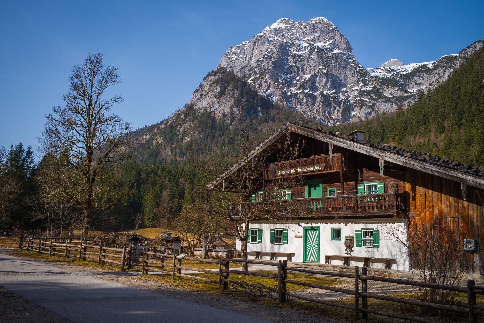
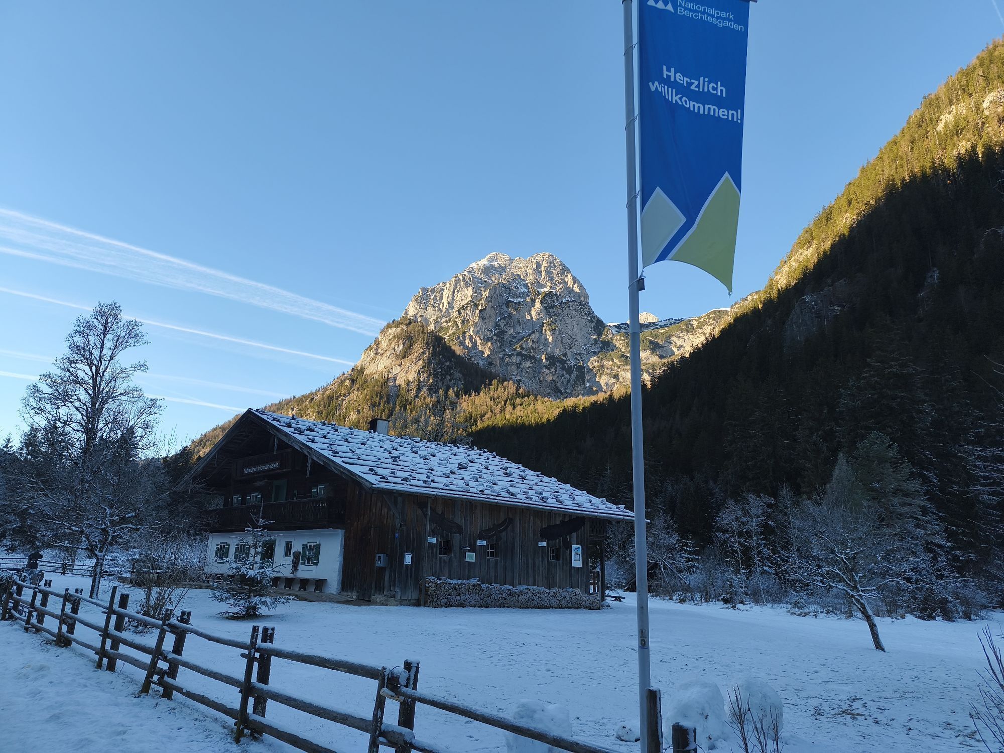


This hike is one of the most beautiful in the Berchtesgadener Land. It starts at the National Park information center, the Klausbachhaus. Through the beautiful Klausbach Valley, also known as the Valley...
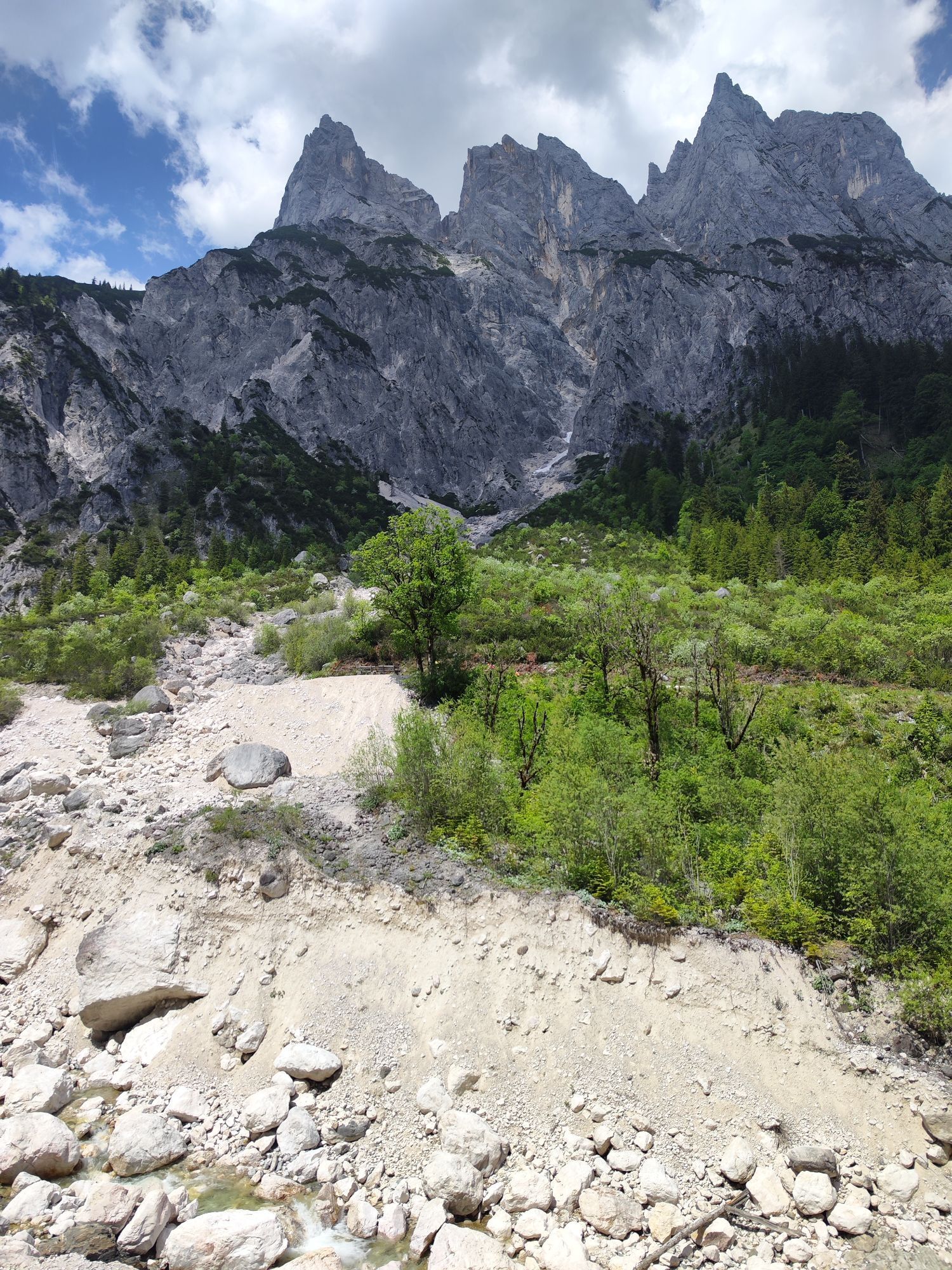
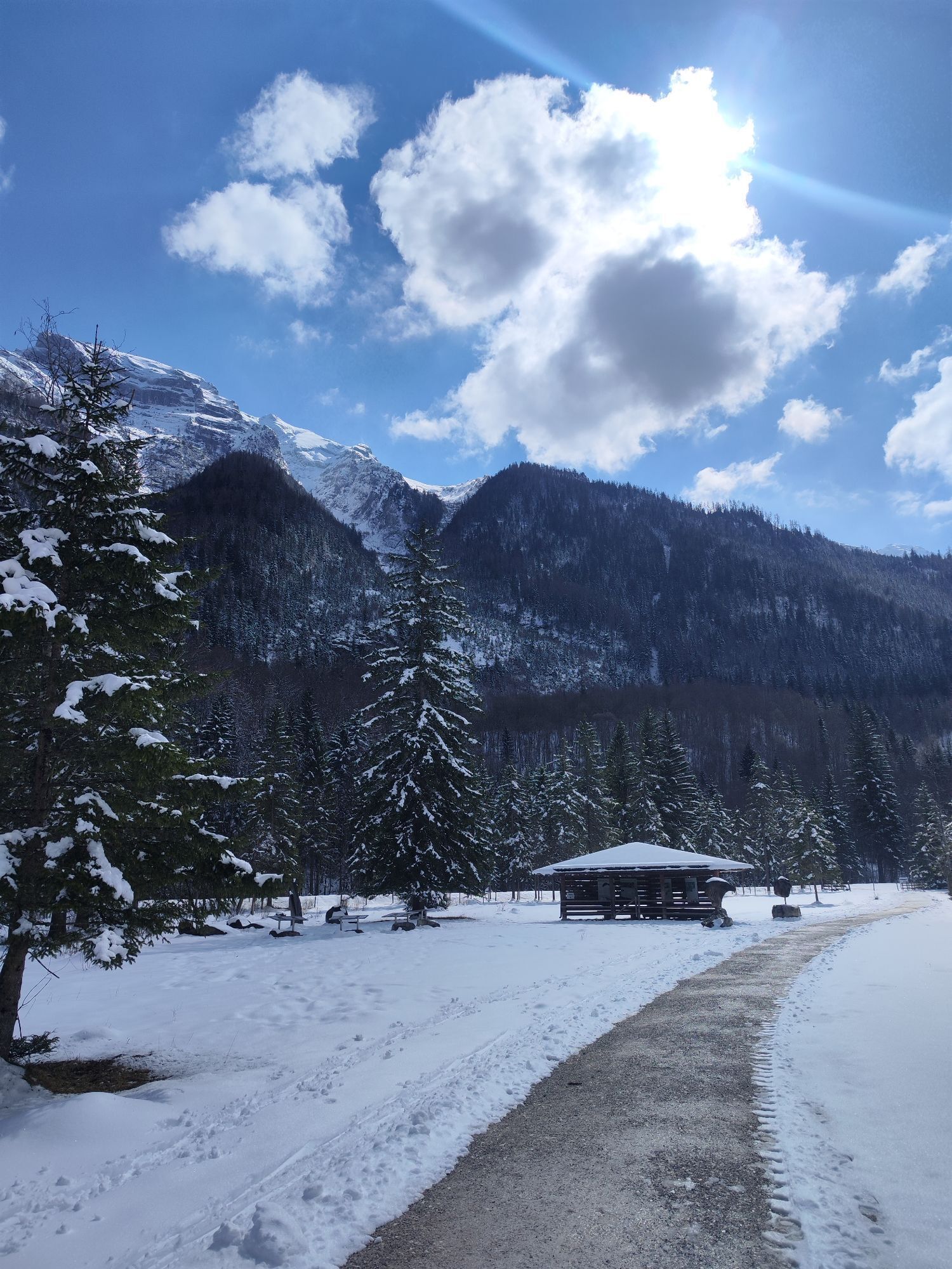
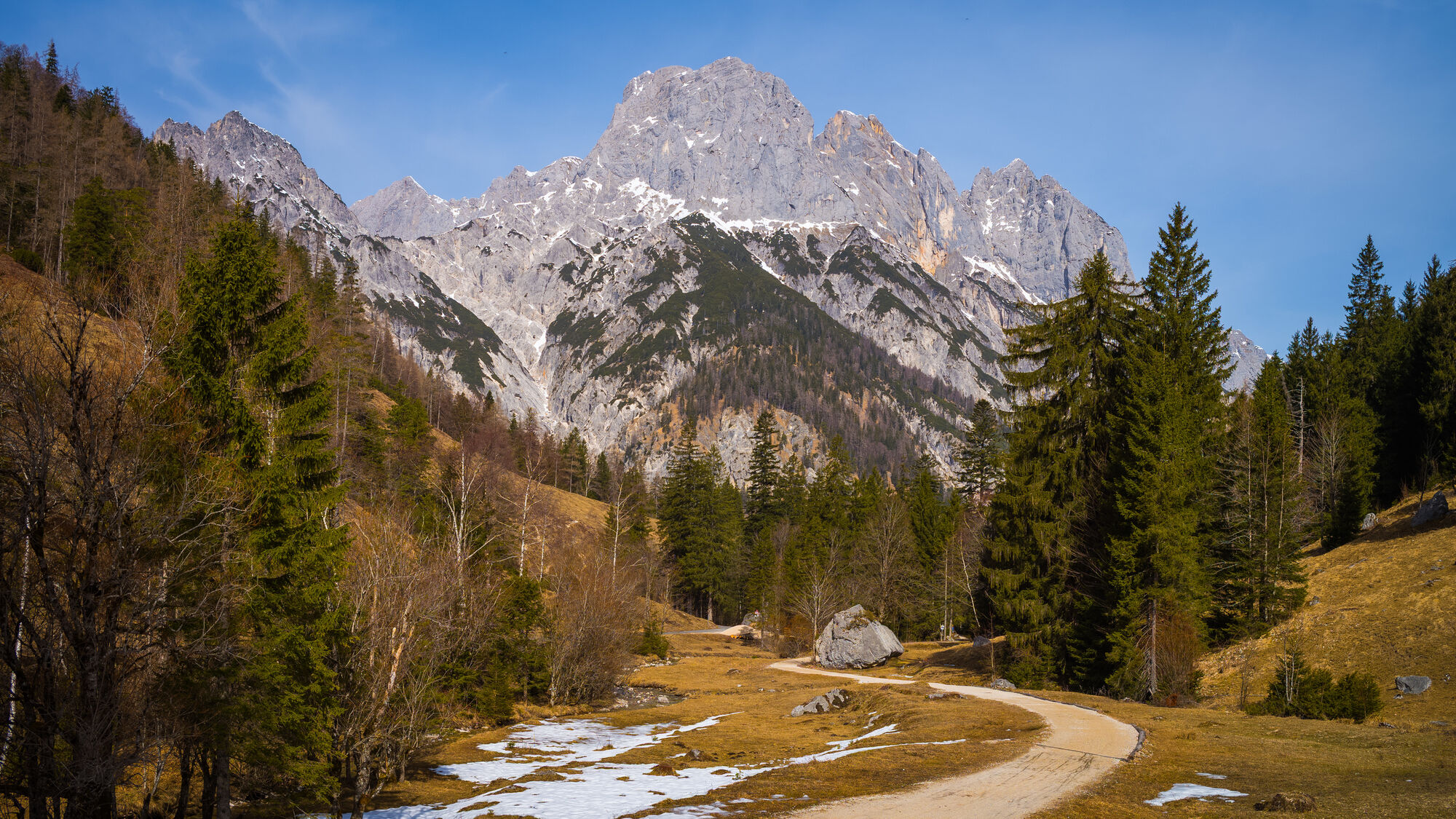
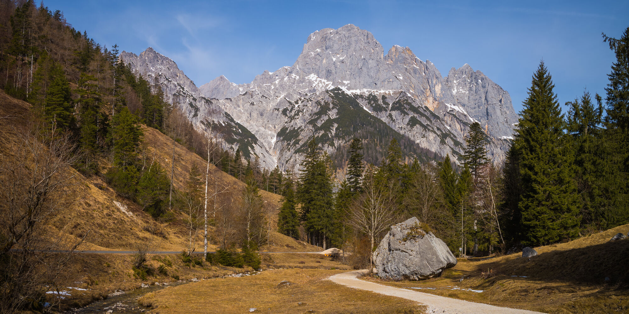
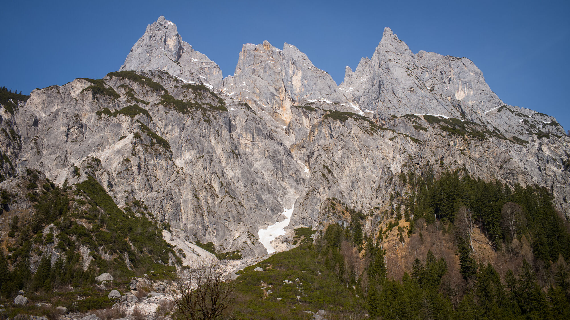
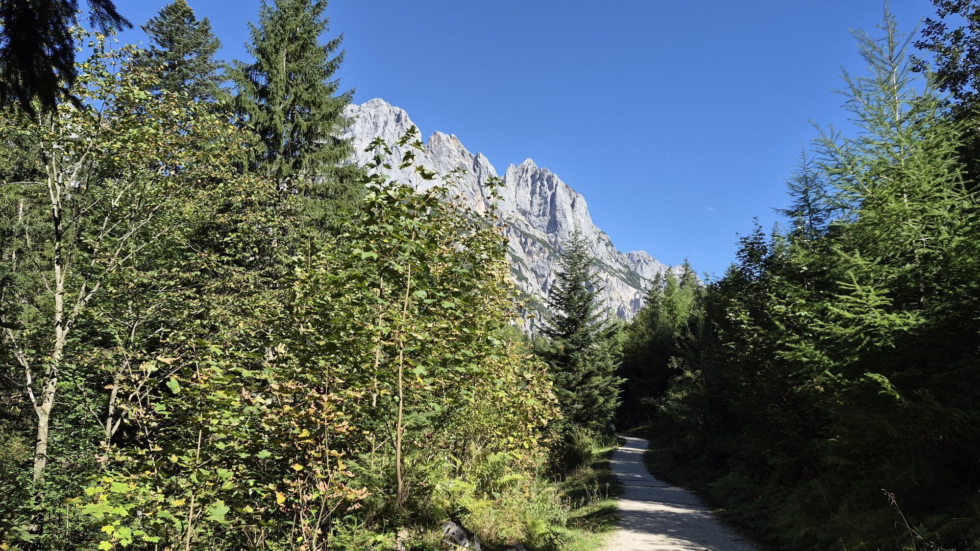
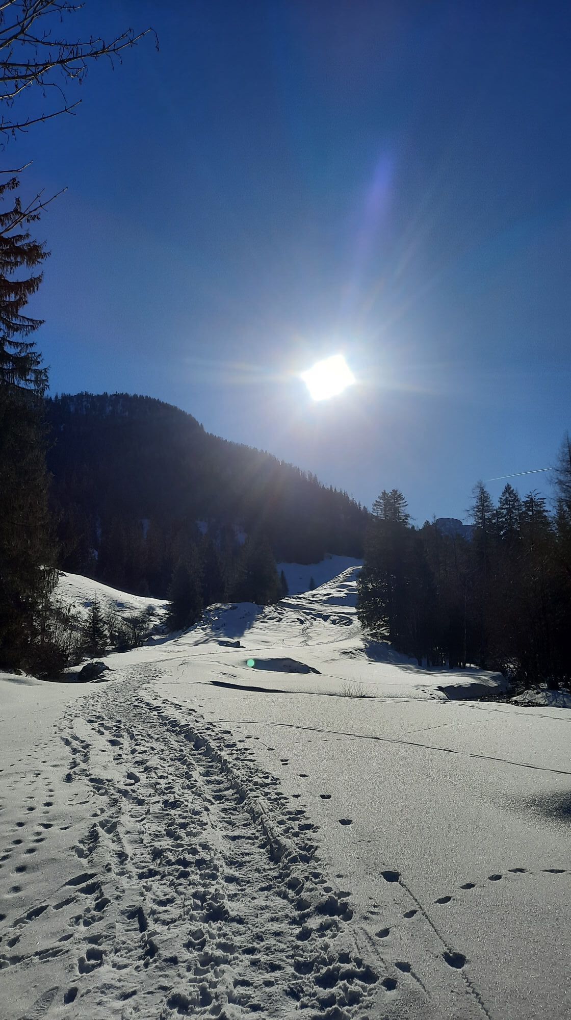
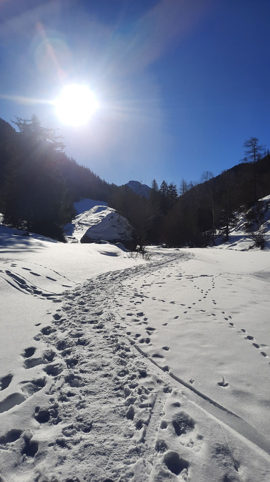
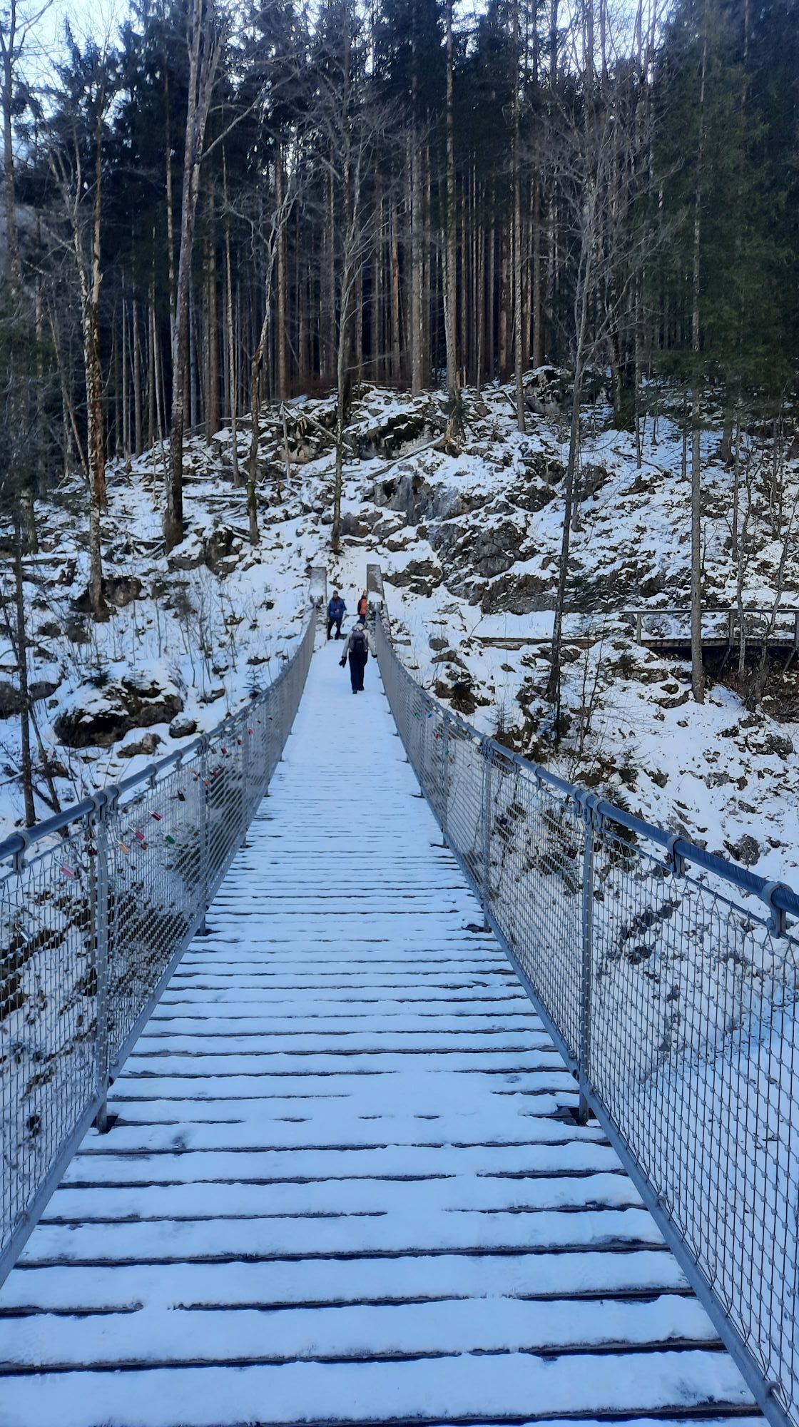
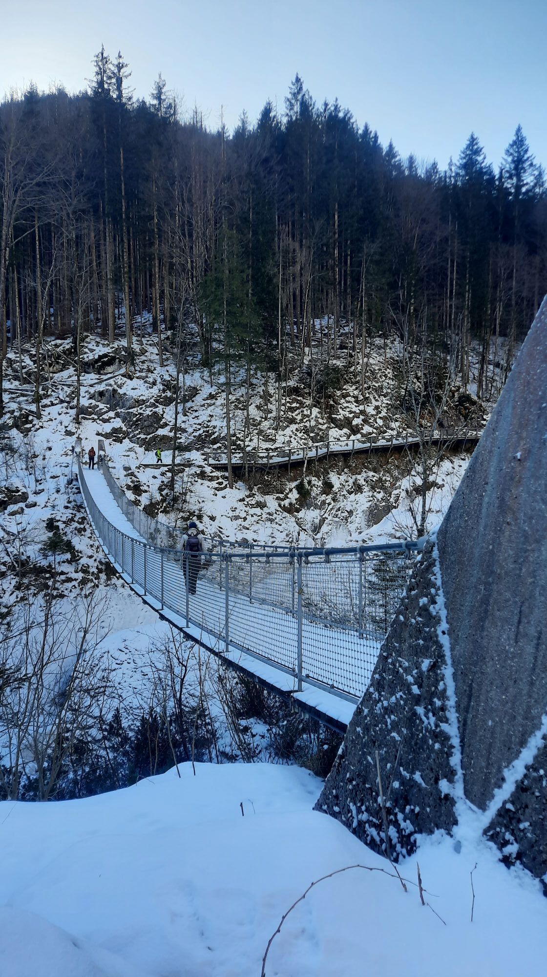
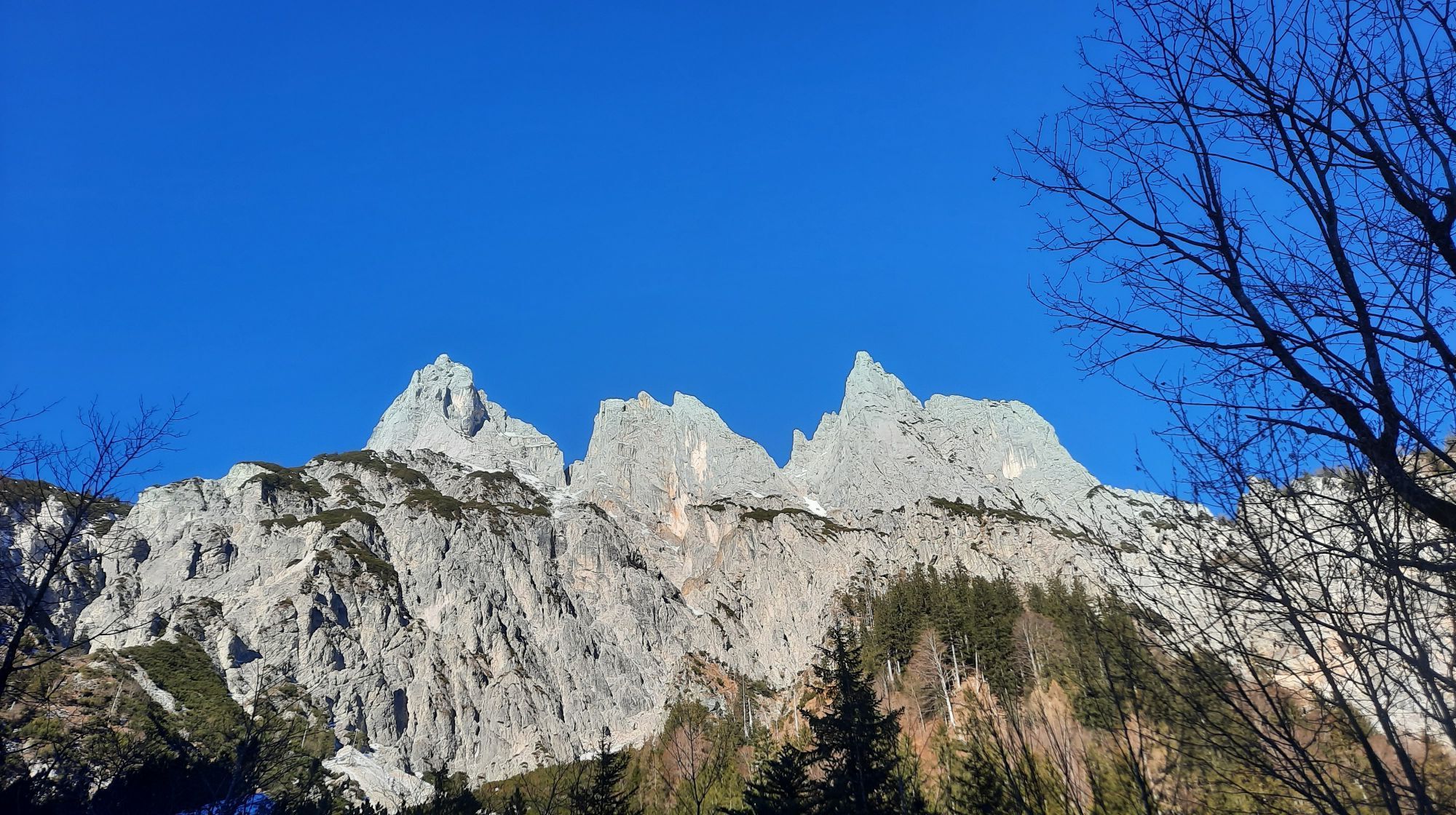
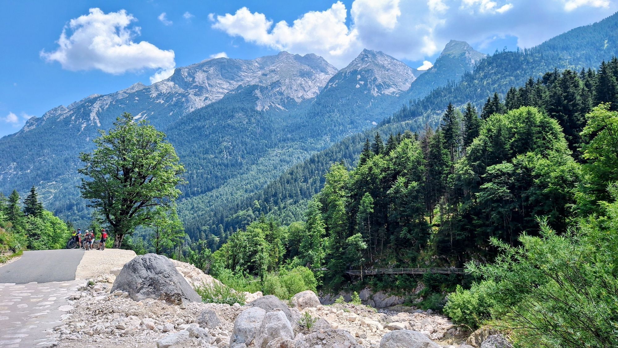
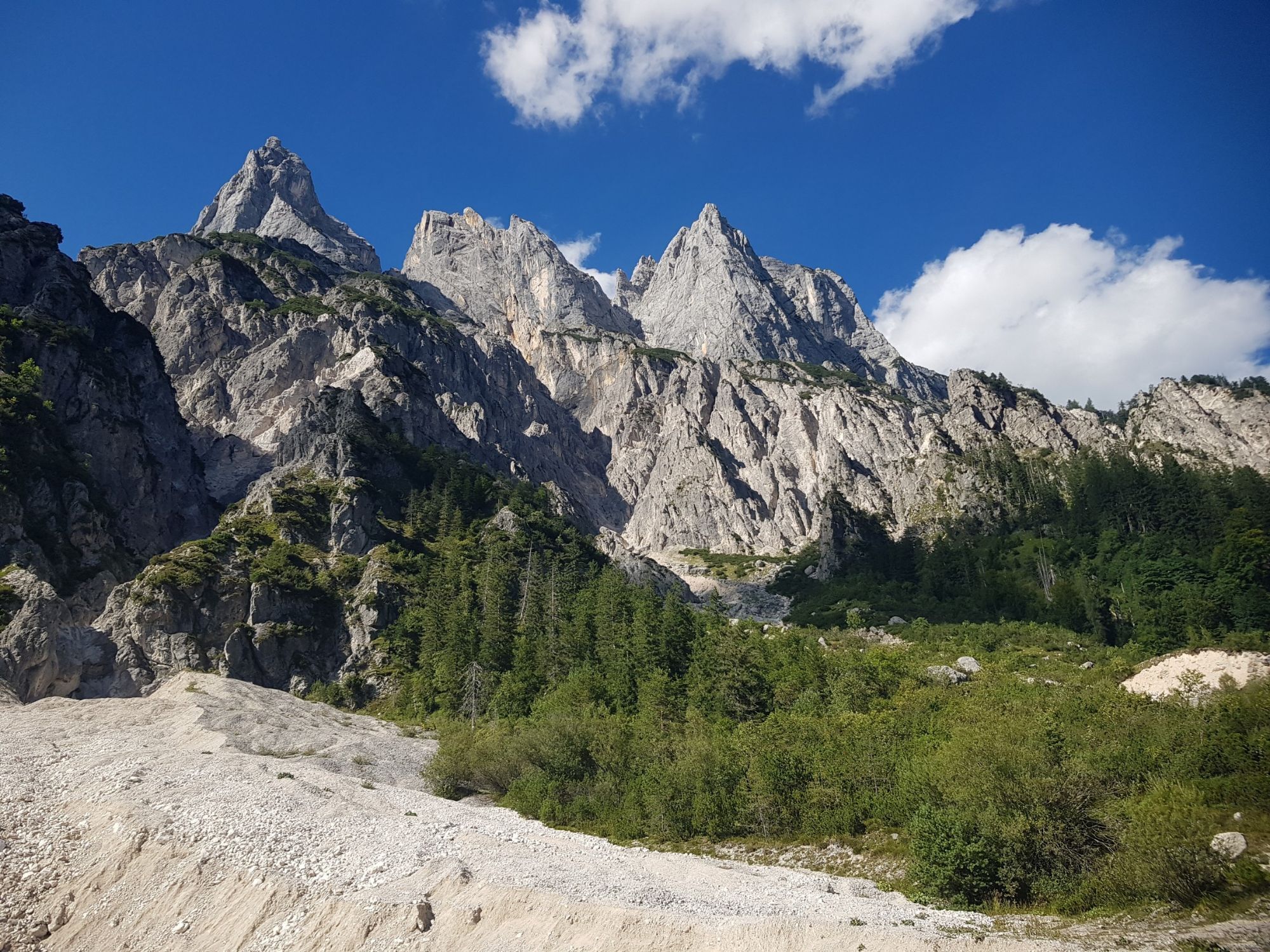
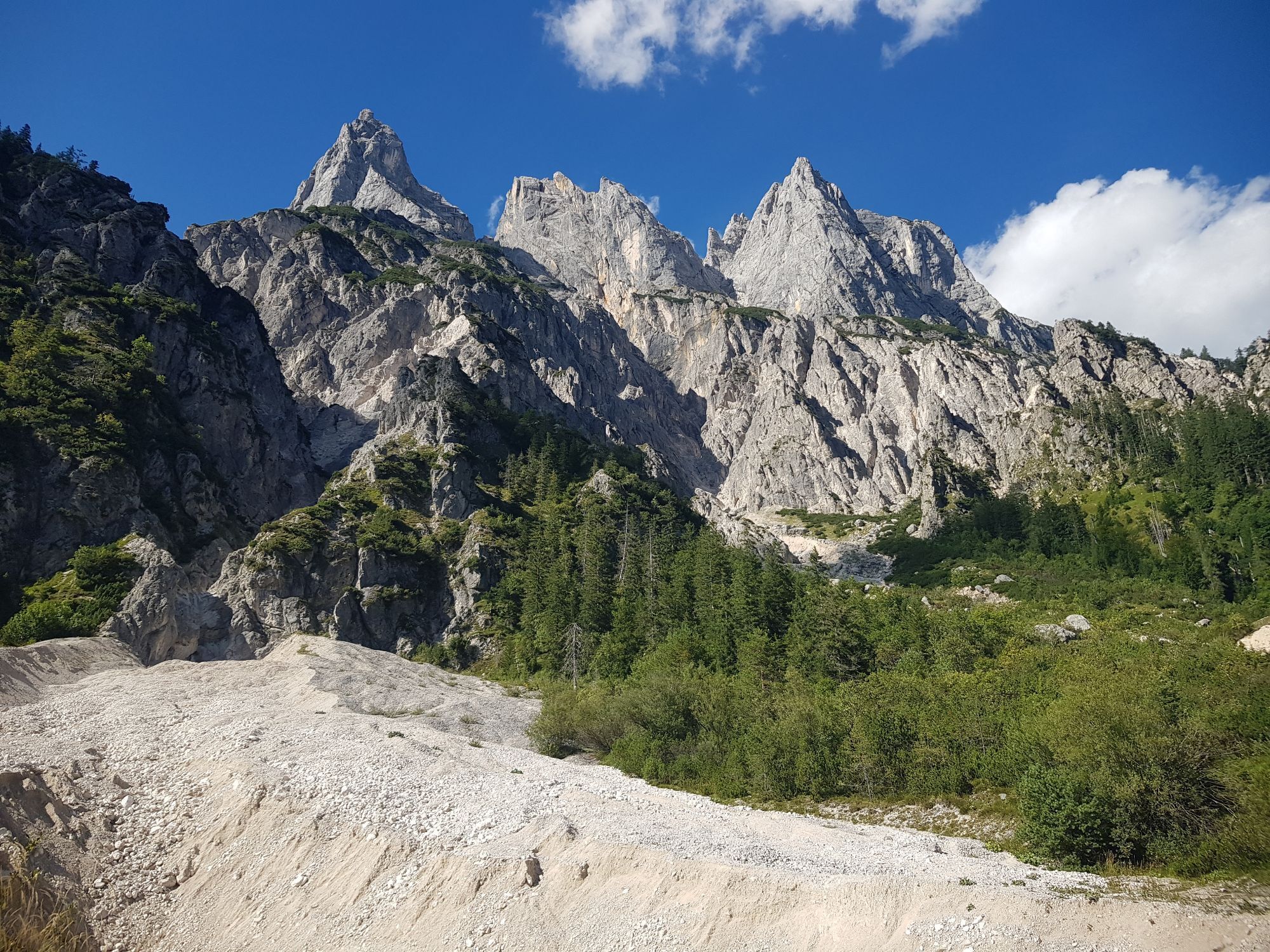
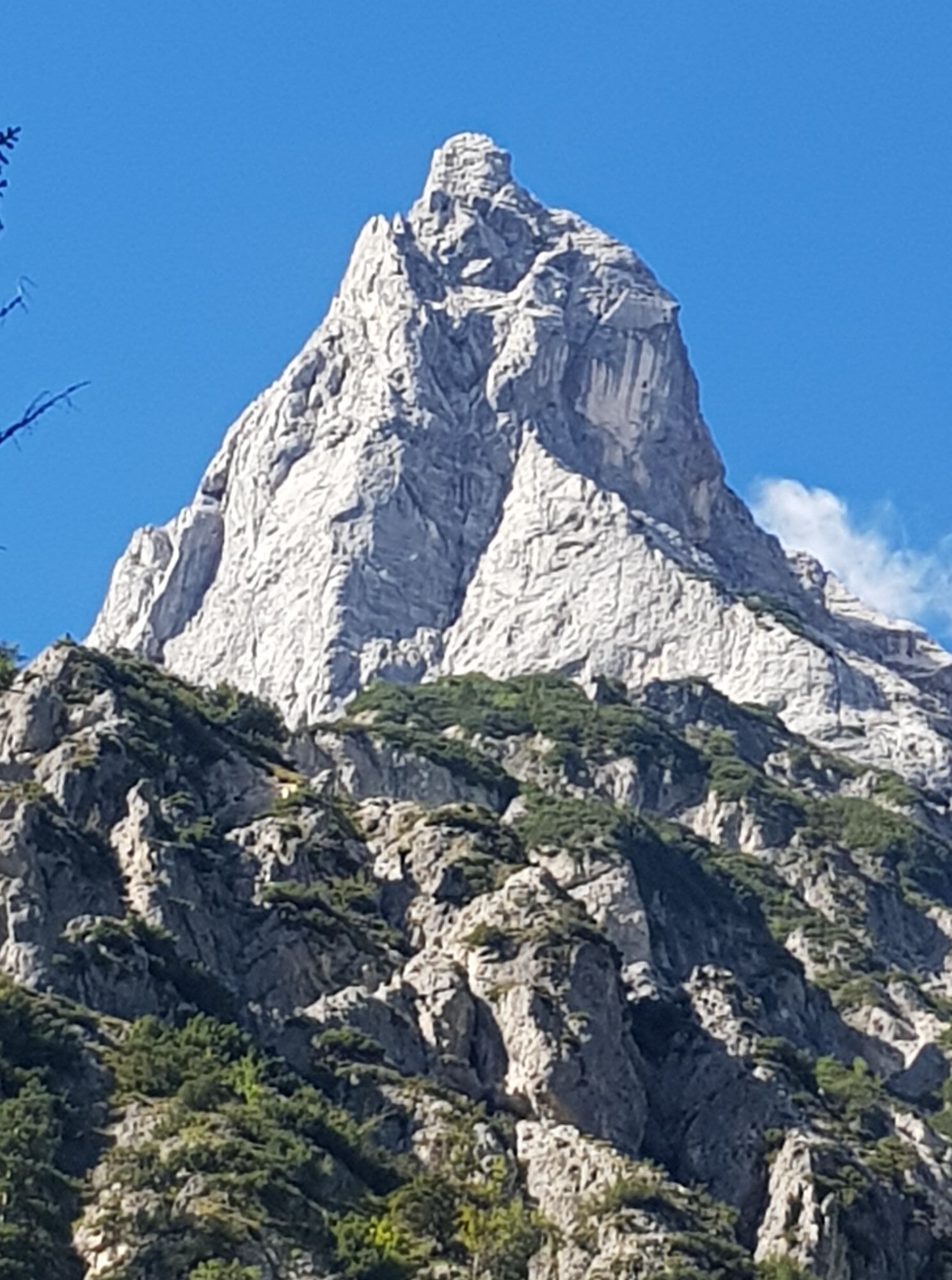
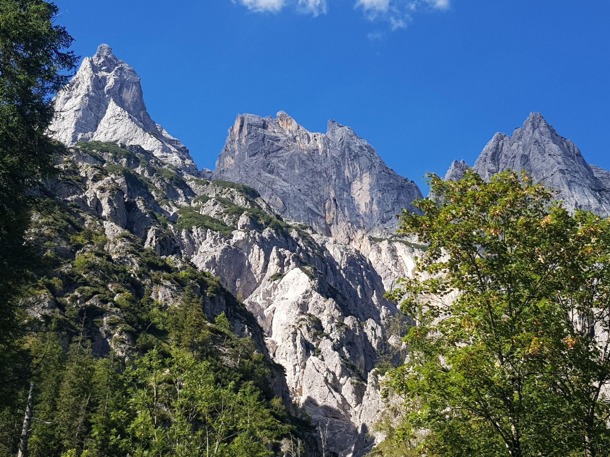
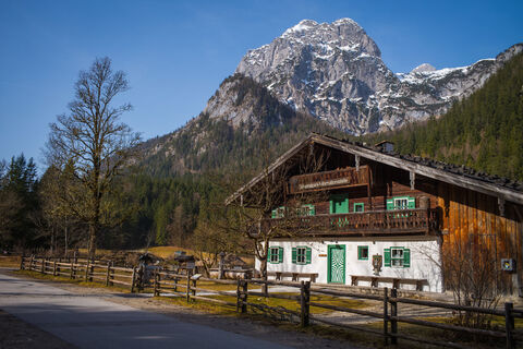
This hike is one of the most beautiful in the Berchtesgadener Land. It starts at the National Park information center, the Klausbachhaus. Through the beautiful Klausbach Valley, also known as the Valley of the Eagles, the path leads through pristine, wild nature, past the wildlife feeding station. The path follows the Klausbach stream for most of the way until we cross the spectacular suspension bridge near the impressive Mühlsturzhörner peaks. Then, over idyllic alpine meadows with a sensational panorama, it steadily climbs up to our hiking destination, the rustic, managed Bindalm, known for traditional alpine farming where you can enjoy homemade products.
Direct arrival and details at: salzburg-erfahren.at

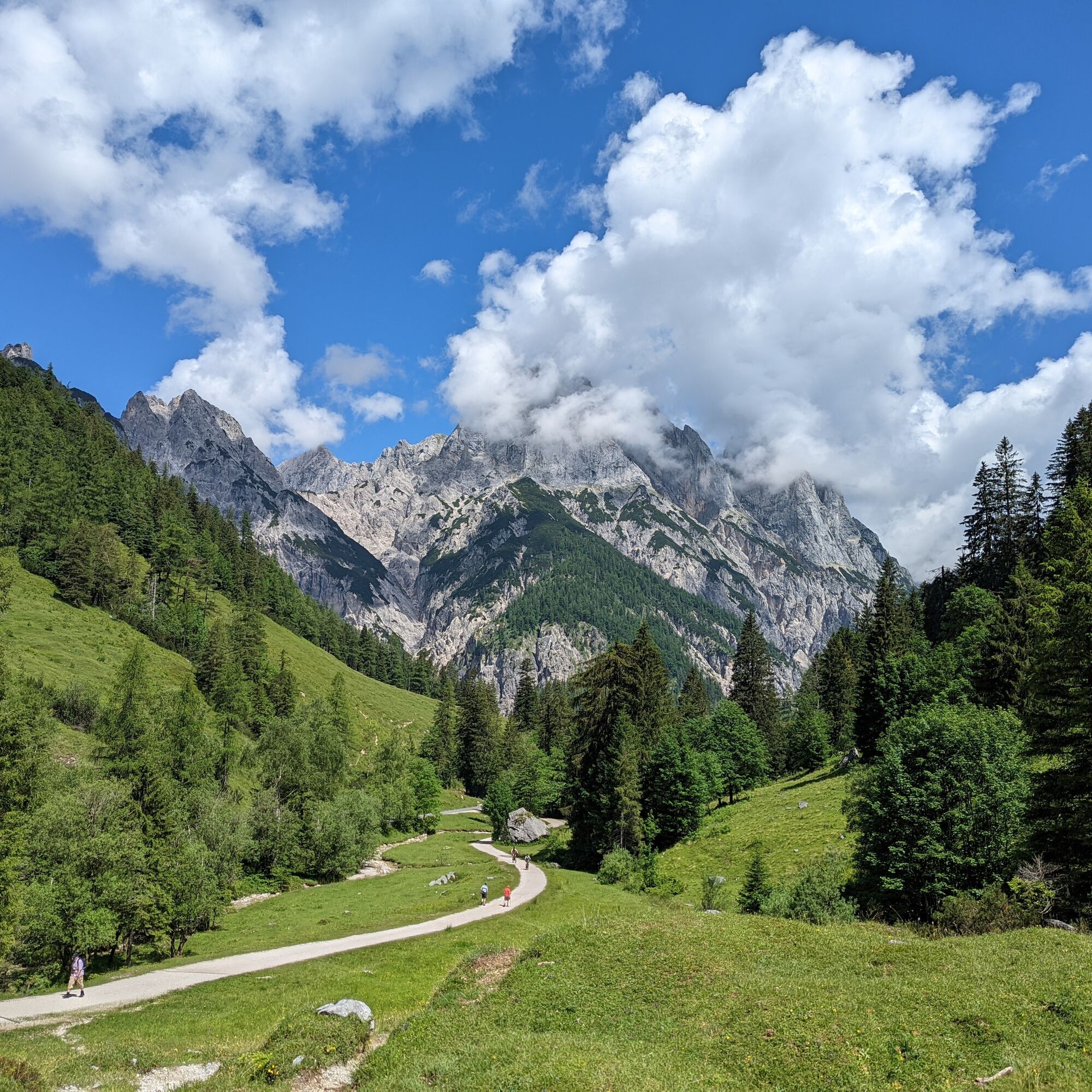
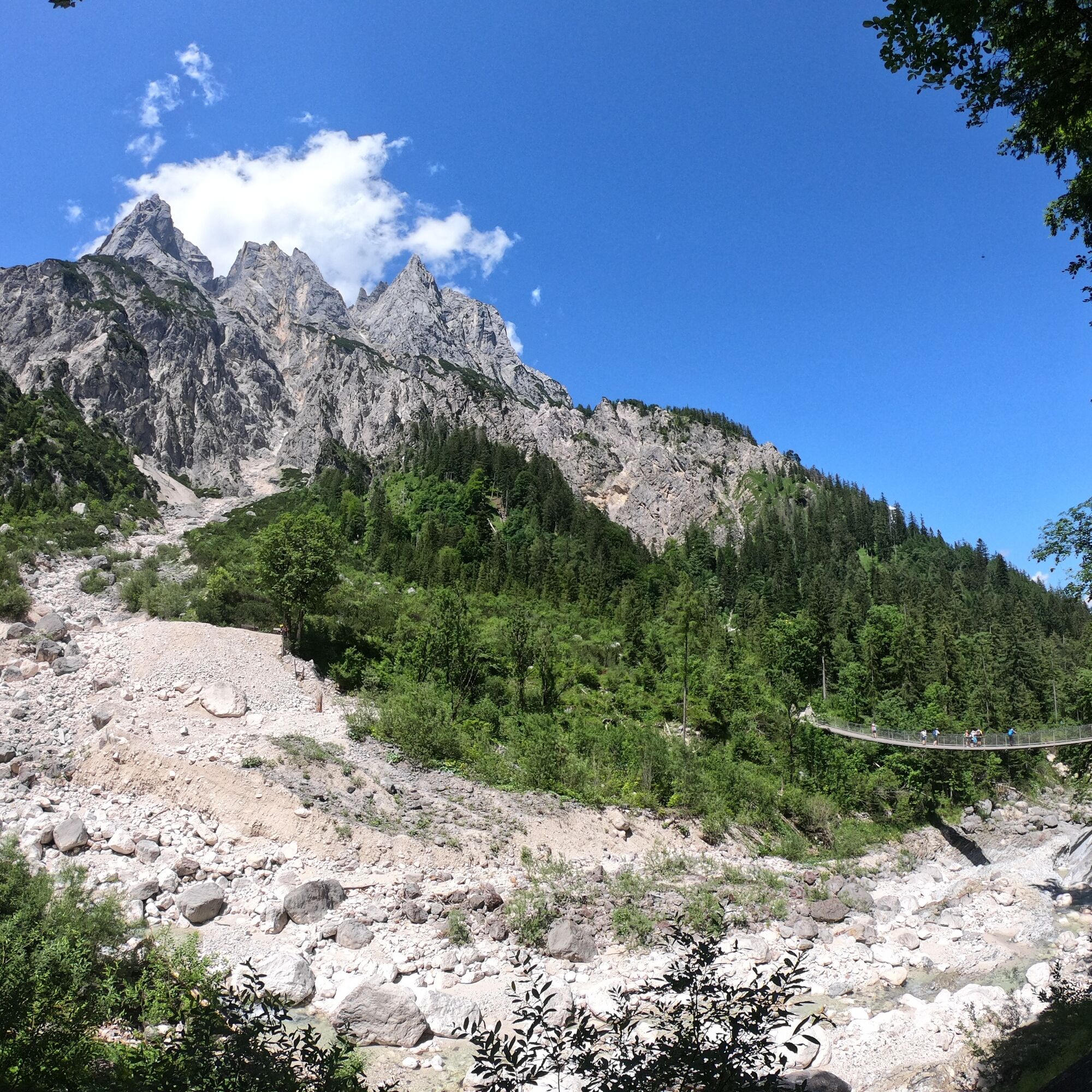
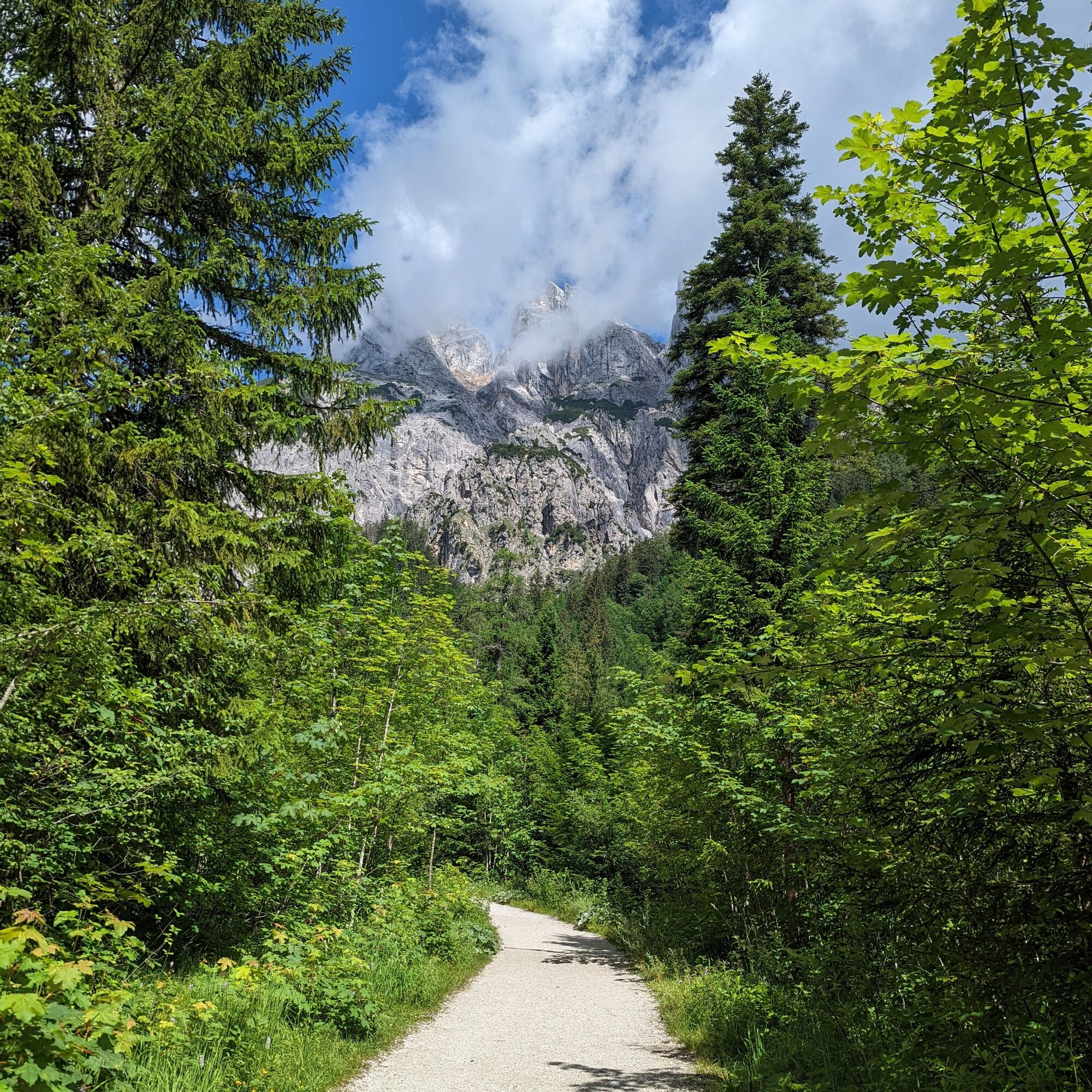
We follow the road to the National Park information center. From here, we first walk a few meters along Hirschbichlstraße until we turn left at the first junction and follow the hiking trail along the Klausbach stream. At just under halfway, we reach the well-known suspension bridge. After crossing it, the trail gently climbs up to Bindalm at around 1,000 meters altitude. The return is on the same path.
Tak
Tak
Tak
Tak
Take regional bus 840 from Anif to Berchtesgaden bus station and from there continue by regional bus to Ramsau (near Berchtesgaden) stop Auzinger. For the return trip, you can alternatively take regional bus 611 back to the starting point Ramsau (near Berchtesgaden) stop Auzinger.
Timetable information and download: online at www.salzburg-verkehr.at or on your smartphone via the free Salzburg Verkehr app for Android and iOS.
Direct arrival and details at: salzburg-erfahren.at
Information & Contact
Thomas Grah & Kristina Karl
5061 Elsbethen
Instagram: @adventuremo.de
Blog: www.adventuremo.de
Photo credit: Kristina Karl
Bring binoculars and look out for golden eagles
stop by the rustic Bindalm alpine pasture
the route is barrier-free and stroller-friendly up to the suspension bridge!
Aktywności na trasie

Ramsau bei Berchtesgaden, Oberbayern/Deutschland
06.06.2026 – Wędrówka
Ramsau bei Berchtesgaden, Upper Bavaria/Germany
29.05.2026 – WędrówkaRamsau bei Berchtesgaden, Oberbayern/Deutschland
17.05.2026 – WędrówkaRamsau bei Berchtesgaden, Oberbayern/Deutschland
05.05.2026 – WędrówkaRamsau bei Berchtesgaden, Oberbayern/Deutschland
26.04.2026 – WędrówkaRamsau bei Berchtesgaden, Oberbayern/Deutschland
05.04.2026 – Wędrówka
Klausbachtal Bindalm
08.03.2026 – WędrówkaRamsau bei Berchtesgaden, Oberbayern/Deutschland
05.01.2026 – Wędrówka
Ramsau bei Berchtesgaden, Oberbayern/Deutschland
30.12.2025 – WędrówkaRamsau bei Berchtesgaden, Oberbayern/Deutschland
14.08.2025 – Wędrówka
Popularne wycieczki w okolicy
- 5,0
Königssee - Kärlinger-Haus
Wędrówka 10,1 km - 4,5
Wimbachgrieshütte
Wędrówka 8,30 km - 4,6
Grünstein
światłoWędrówka 2,57 km - 3,9
Malerwinkel Rundwanderweg
światłoWędrówka 3,60 km - 4,3
Halsalm
Wędrówka 6,43 km - 5,0
Watzmann Überschreitung an einem Tag
ciężkiWędrówka 23,9 km - 3,9
Rundwanderweg zur Steinernen Agnes
Wędrówka 9 km - 4,4
Peter-Wiechenthaler Hut
średniWędrówka 4,32 km - 4,9
Ramsau/Hintersee-Runde
światłoWędrówka 9,44 km - 4,9
von Schönau am Königssee zum Watzmannhaus und zurück
średniWędrówka 17,1 km
Wędrówki i tropienie


Nie przegap ofert i inspiracji na następne wakacje
Twój adres e-mail została dodana do listy mailingowej.