


SalzAlpenTour Rauschberg-Kienberg
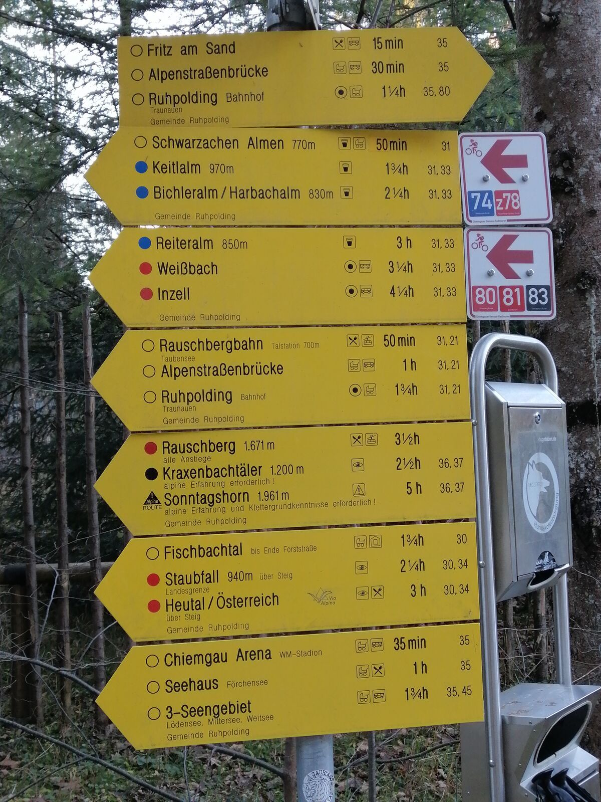
Route: From the starting point Schmelz, it goes steadily uphill along the SalzAlpenTour marking. Passing the Farriesboden Chapel, we hike to the forest road. After a long, steep climb, we reach the mountain...
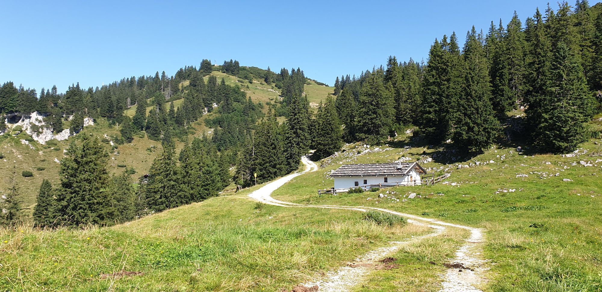
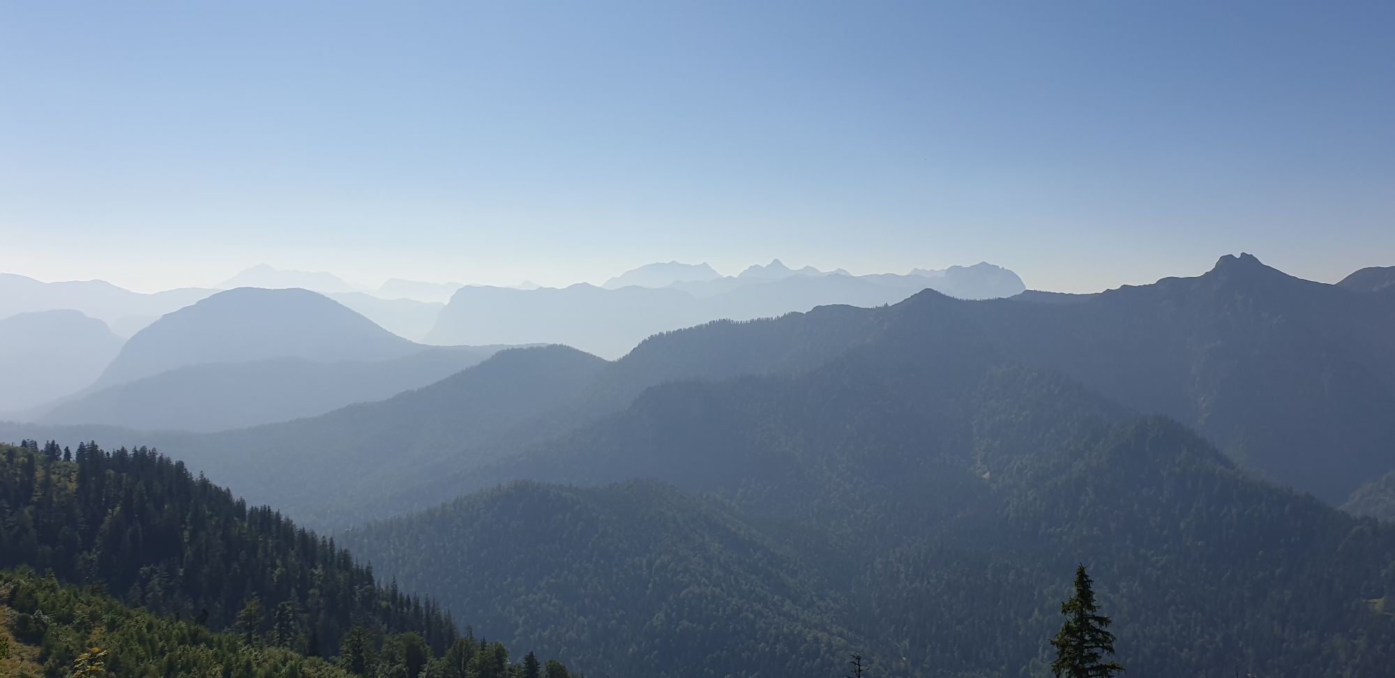
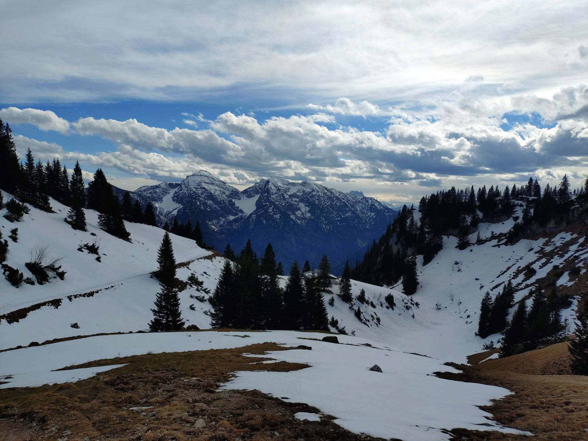
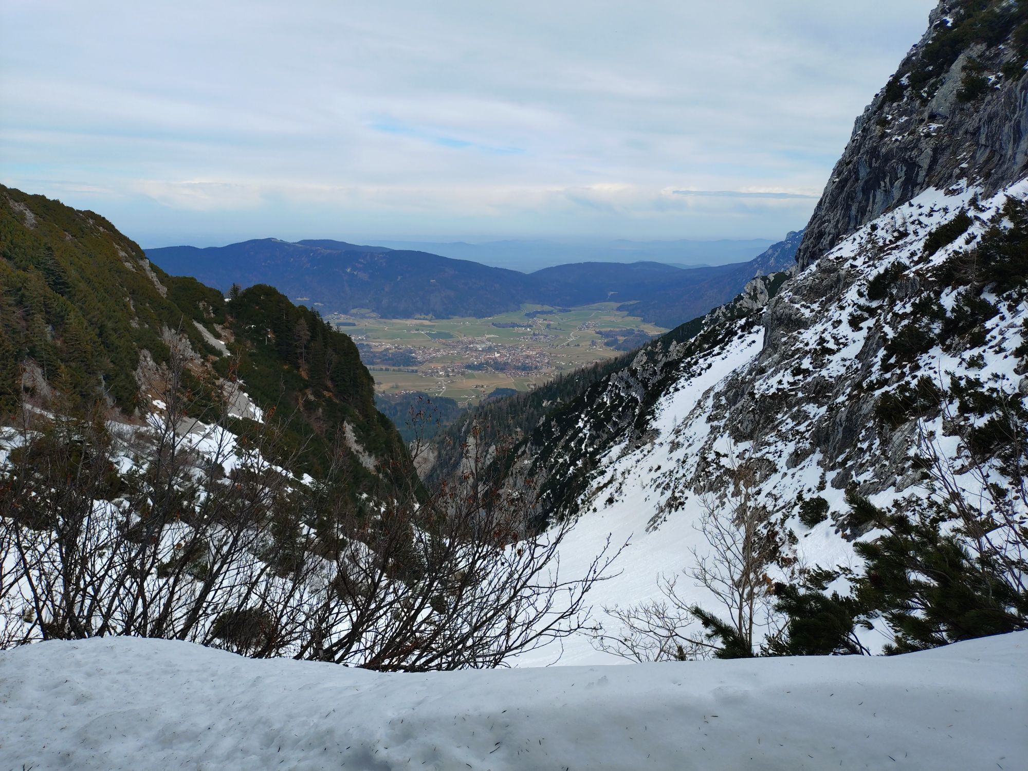
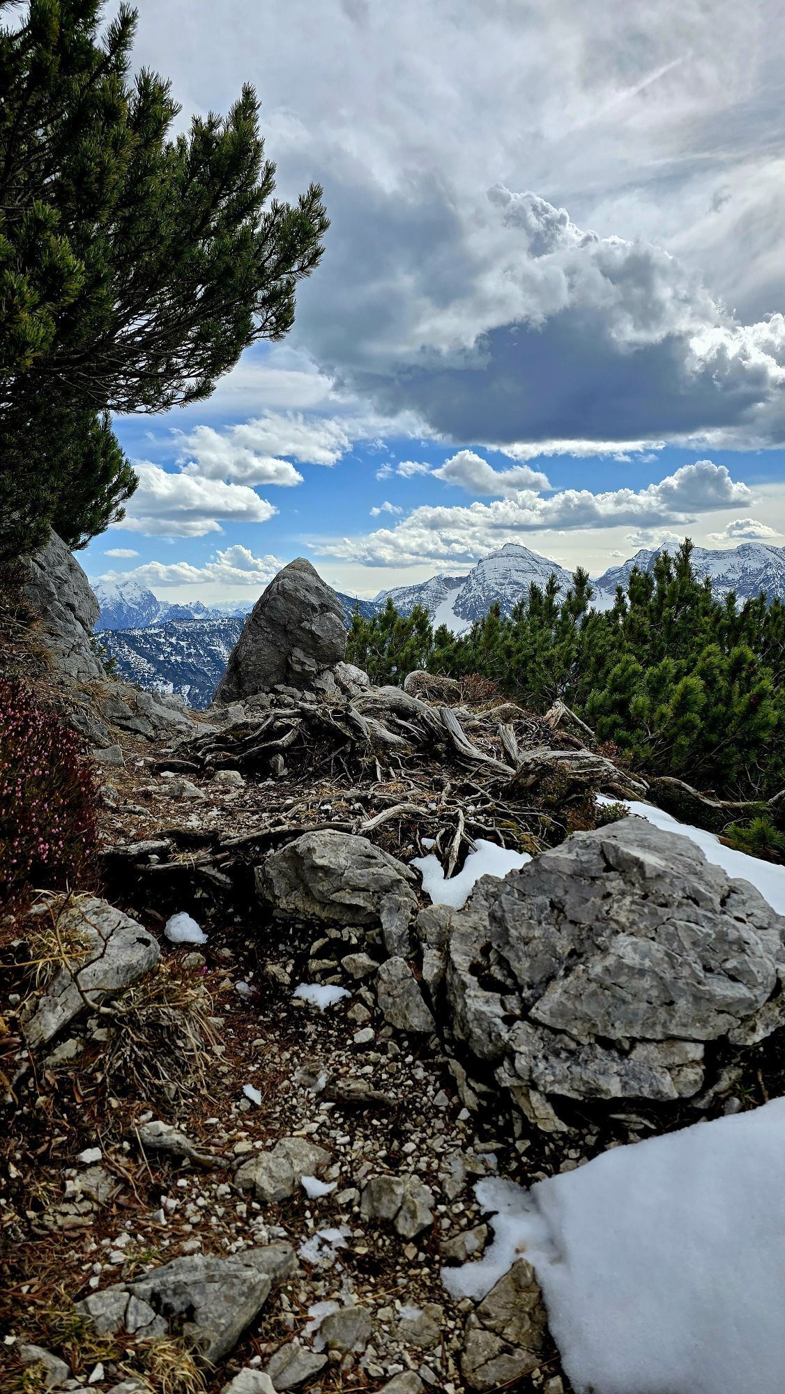
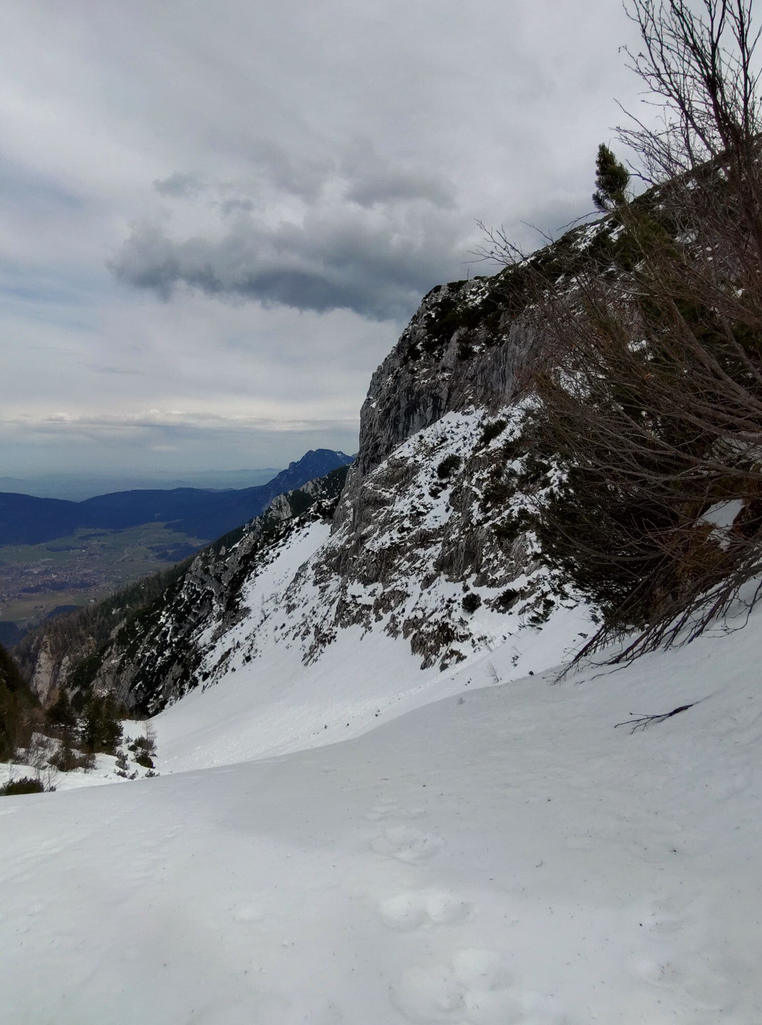
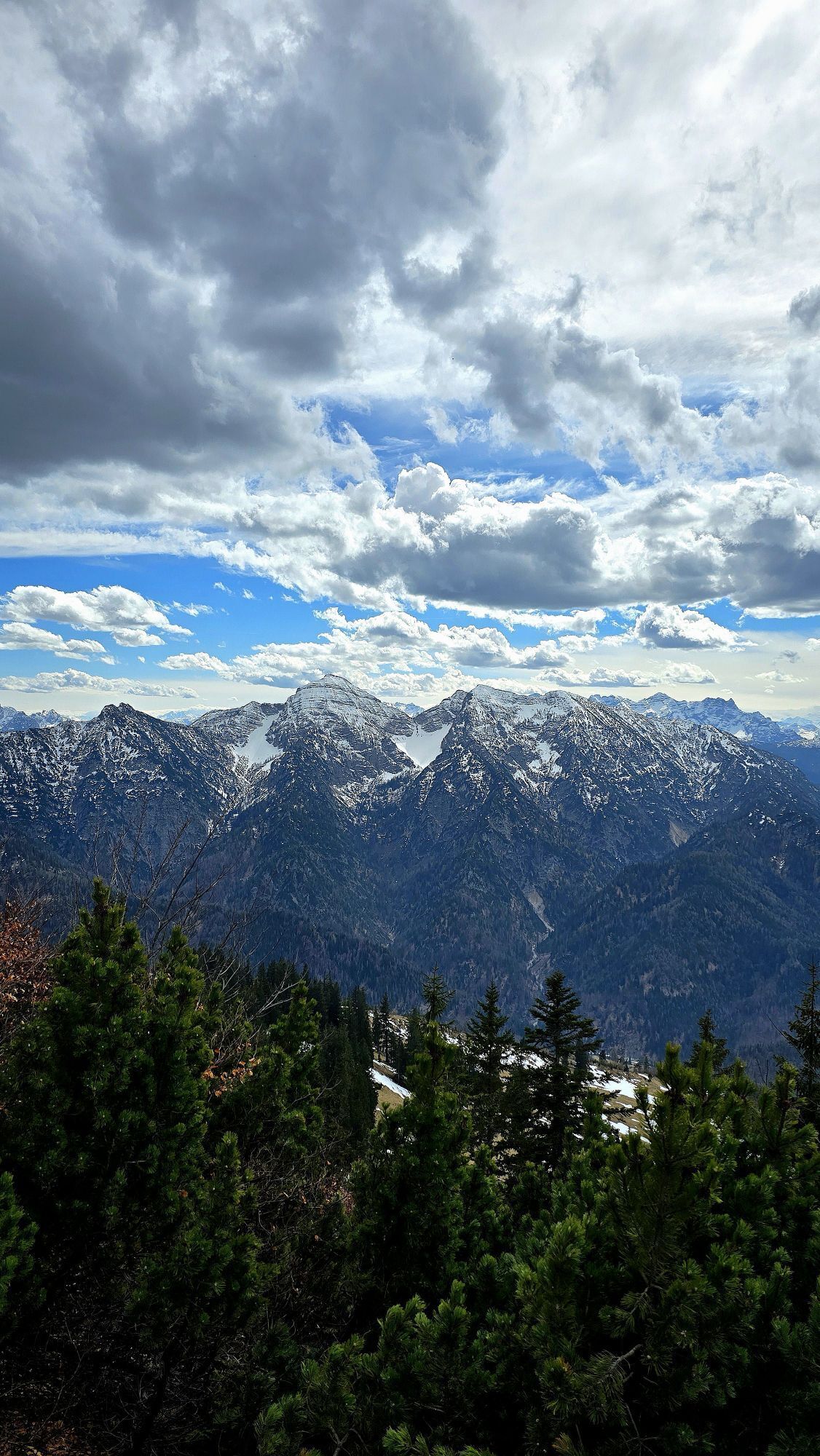
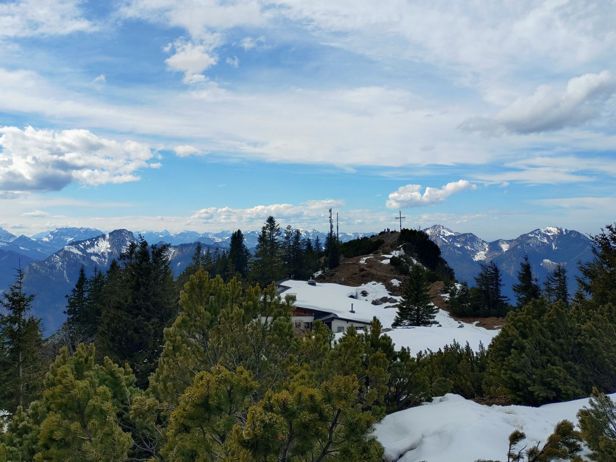
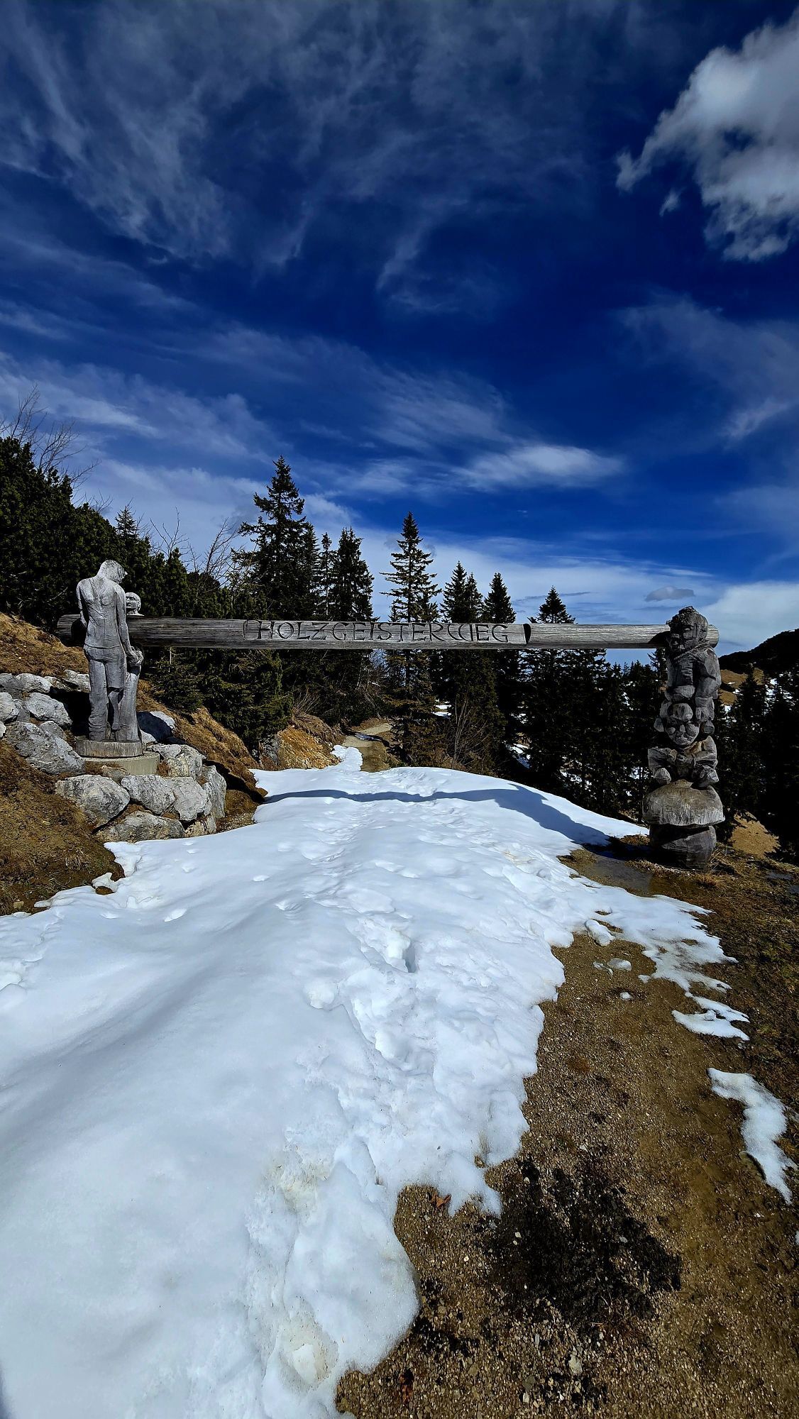
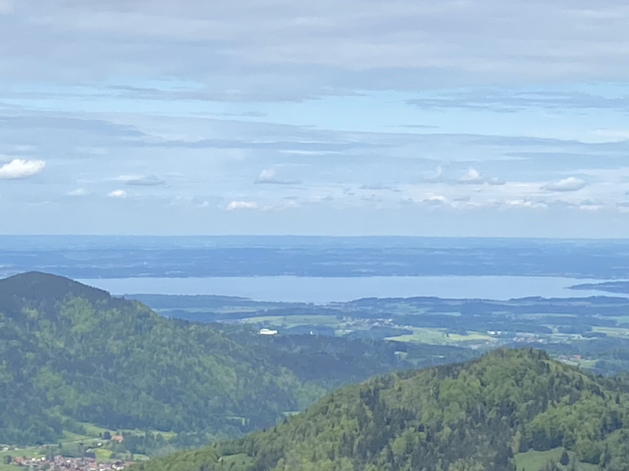
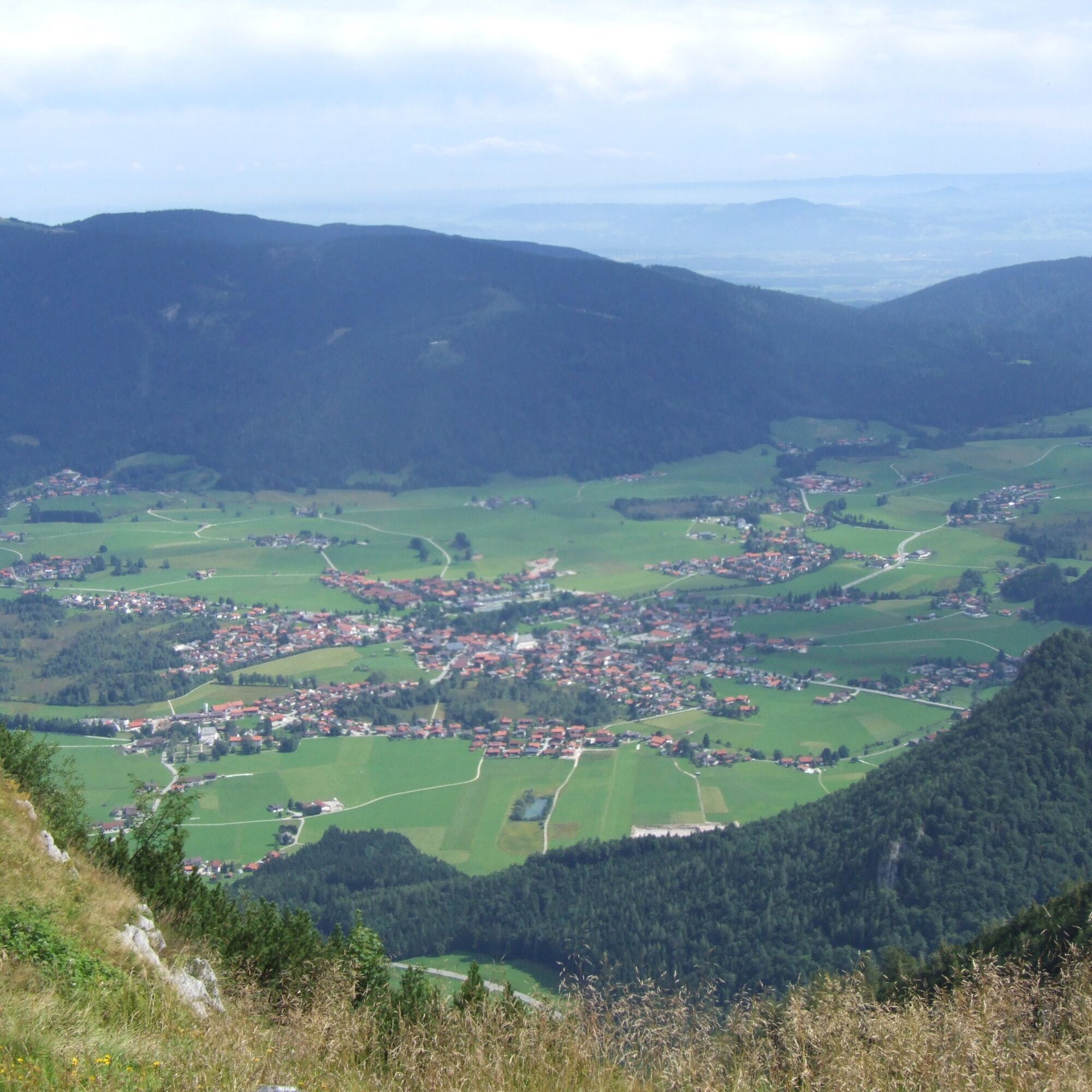
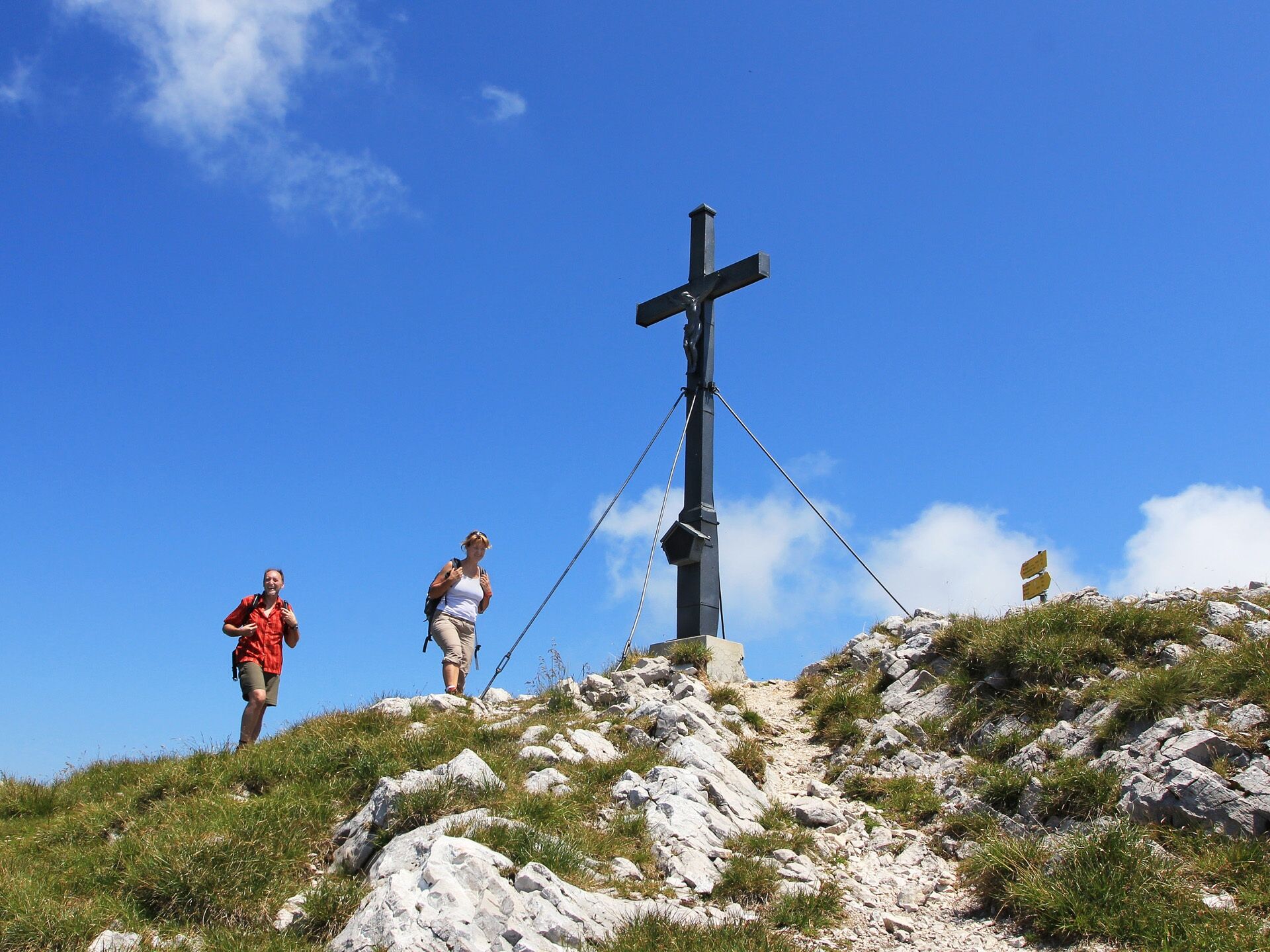
Route: From the starting point Schmelz, it goes steadily uphill along the SalzAlpenTour marking. Passing the Farriesboden Chapel, we hike to the forest road. After a long, steep climb, we reach the mountain saddle. Here, a detour to the two peaks Streicher and Rauschberg tempts. On the way back, we first hike a long stretch downwards over narrow paths and forest roads to the Taubensee. Now we circle the Rauschberg at half height. Over the Farriesboden Chapel, the tour leads us back to the starting point Schmelz. Special features: This adventurous tour requires sure-footedness and a head for heights. You will be rewarded with a magnificent mountain panorama. Refreshment : Schmelz Tip: An absolute highlight is the art mile on the Rauschberg by Walter Angerer, Angerer the Younger. Just let yourself be enchanted!

Coming from Siegsdorf, you pass through the town on the federal road until you reach the Max Aicher Arena. About 200m after the stadium, turn right towards Ruhpolding. After a sharp right turn, it goes downhill to the district of Schmelz.
Inzell
Kamery internetowe z trasy
Kessel-Lifte Inzell
Ortseingang von Ruhpolding
Steinberger Hof
Talstation Westernberglift
Bojernhof
Bojernhof
Bojernhof
Bojernhof
Bojernhof
Chiemgau Arena
Chiemgau Arena
Chiemgau Arena
Chiemgau Arena
Chiemgau Arena
Chiemgau Arena
Chiemgau Arena
Inzell / Camping Lindlbauer
Unternberg Ruhpolding
Unternberg Sesselbahn Talstation
Ruhpolding Richtung Süden
Chiemgau - Coaster Ruhpolding
Rauschberg
Westernberg
Westernberg
Westernberg
Westernberg
Popularne wycieczki w okolicy
- 4,4
Staufen-Bergtour
średniWędrówka 14,1 km - 4,9
Dötzenkopf Rundweg
średniWędrówka 6,95 km - 4,8
Atemberaubende Aussicht auf dem Dürrnbachhorn
średniWędrówka 8,44 km - 4,9
Frillensee round from Adlgaß
Wędrówka 5,82 km - 4,6
Hochgern
średniWycieczki górskie 15,1 km - 4,7
Over the waterfall trail into the Almenwelt Lofer
średniWędrówka 3,29 km - 4,6
Unternberg
światłoWędrówka 9,20 km - 4,7
Pidinger Klettersteig mit Umweg im Abstieg
ciężkiVia ferrata 15,0 km - 4,4
Hochstaufen
ciężkiWędrówka 7,59 km - 4,7
Jochberg - Zwiesel
światłoWędrówka 4,12 km
Wędrówki i tropienie


Nie przegap ofert i inspiracji na następne wakacje
Twój adres e-mail została dodana do listy mailingowej.