


SalzAlpenTour - Kohleralm-Jochberg
Zdjęcia naszych użytkowników
-
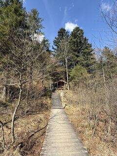
 © Moonlight13Utworzono dnia 14.03.2026
 -
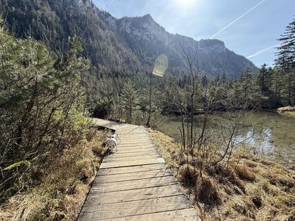
 © Moonlight13Utworzono dnia 14.03.2026
 -
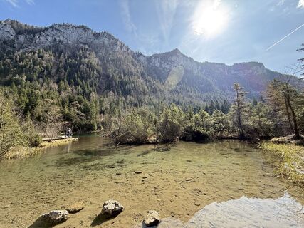
 © Moonlight13Utworzono dnia 14.03.2026
 -
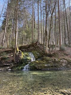
 © Moonlight13Utworzono dnia 14.03.2026
 -
 © Moonlight13Utworzono dnia 14.03.2026
 -
 © Moonlight13Utworzono dnia 14.03.2026
 -
 © Moonlight13Utworzono dnia 14.03.2026
 -
 © Johanna BoltnerUtworzono dnia 16.10.2025
 -

 © Günther ForsthuberUtworzono dnia 15.06.2025
 -
 © Ede FodorUtworzono dnia 20.04.2025
 -

 © Marlene SchillerUtworzono dnia 30.12.2024
 -
 © Marlene SchillerUtworzono dnia 30.12.2024


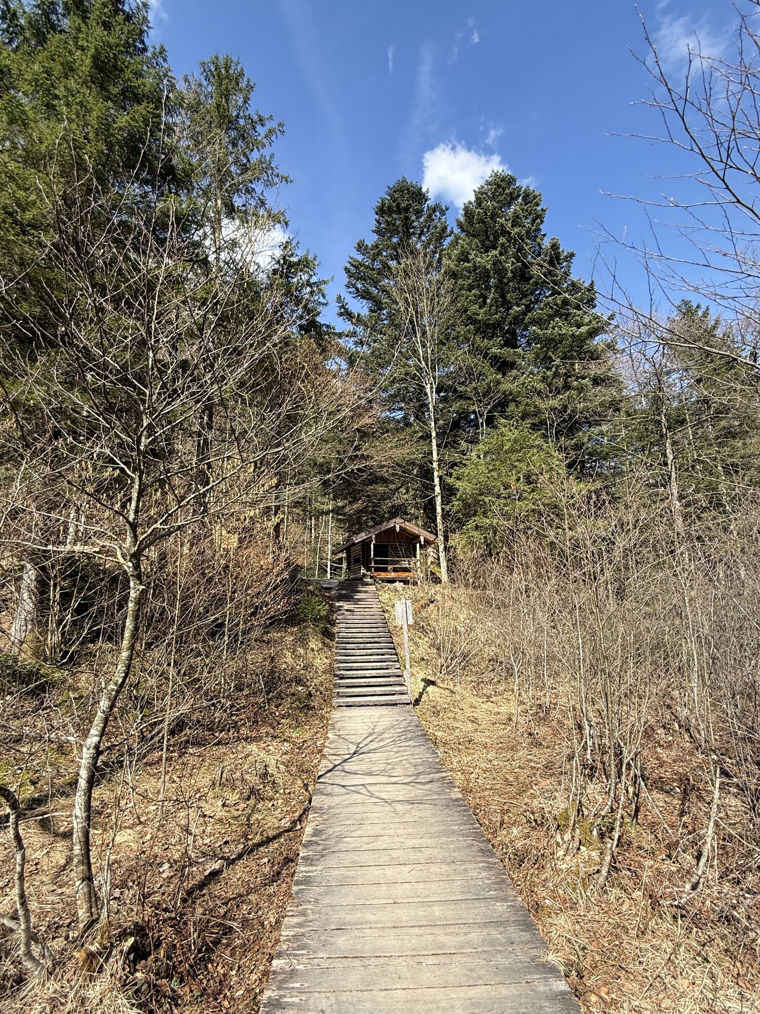

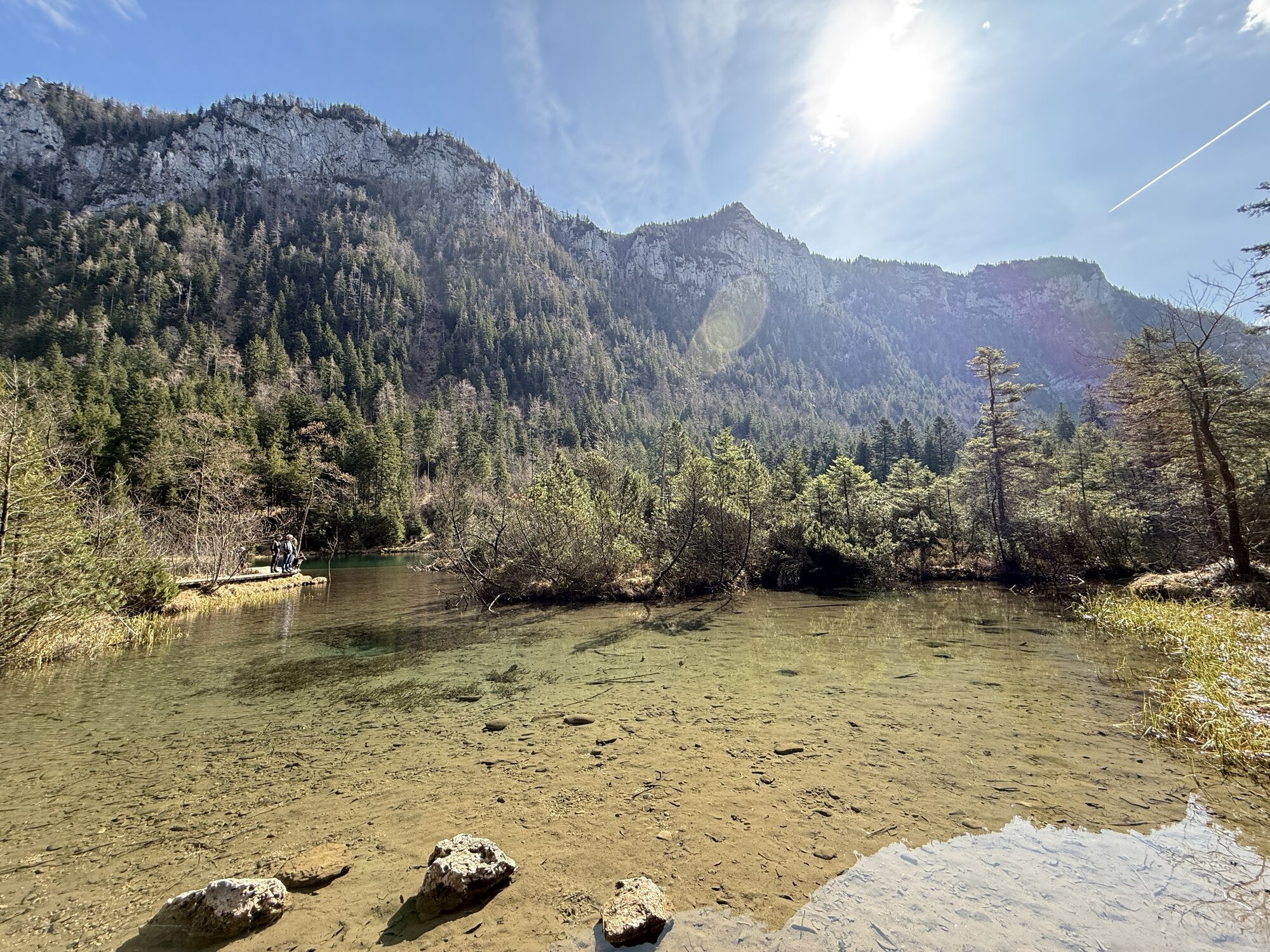


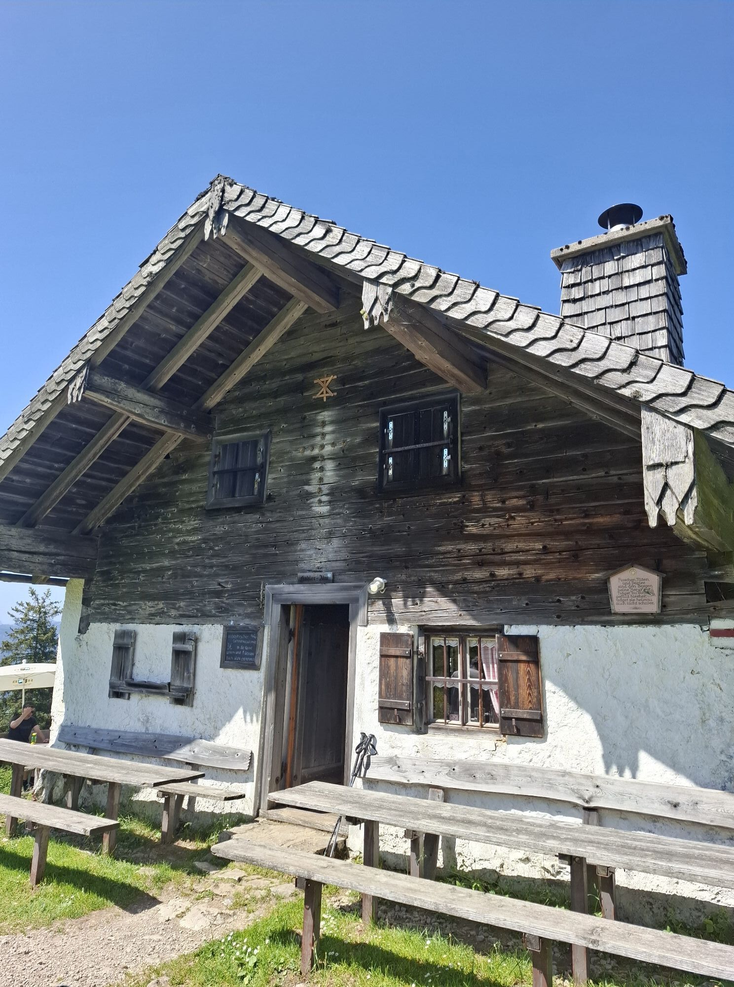
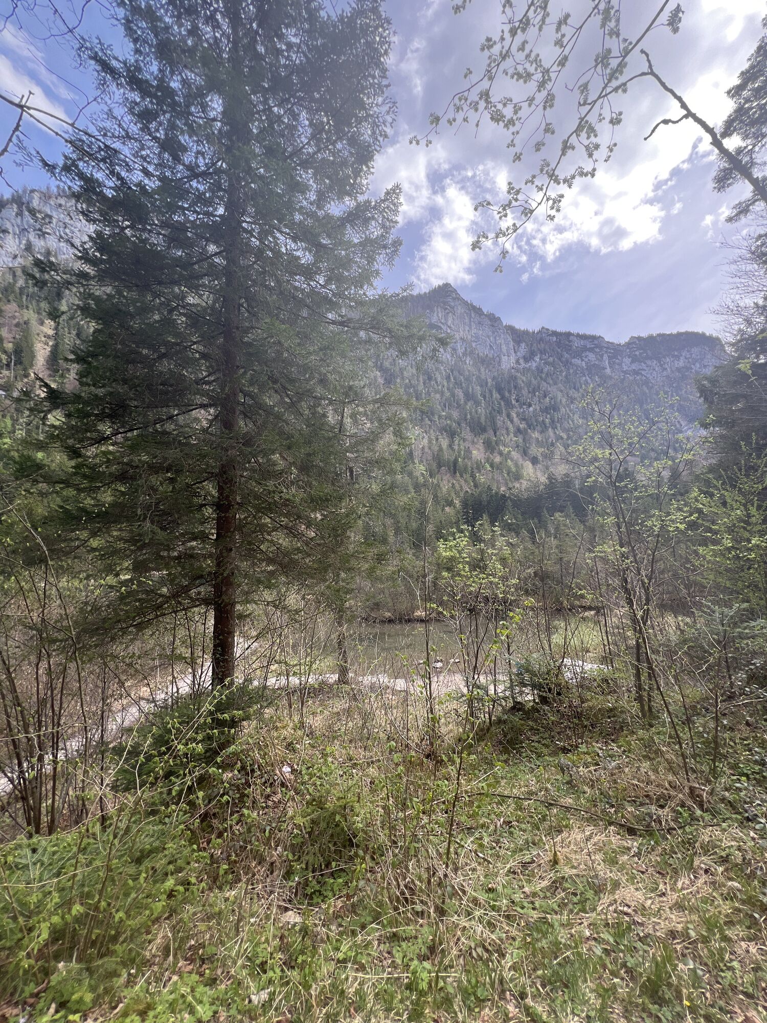
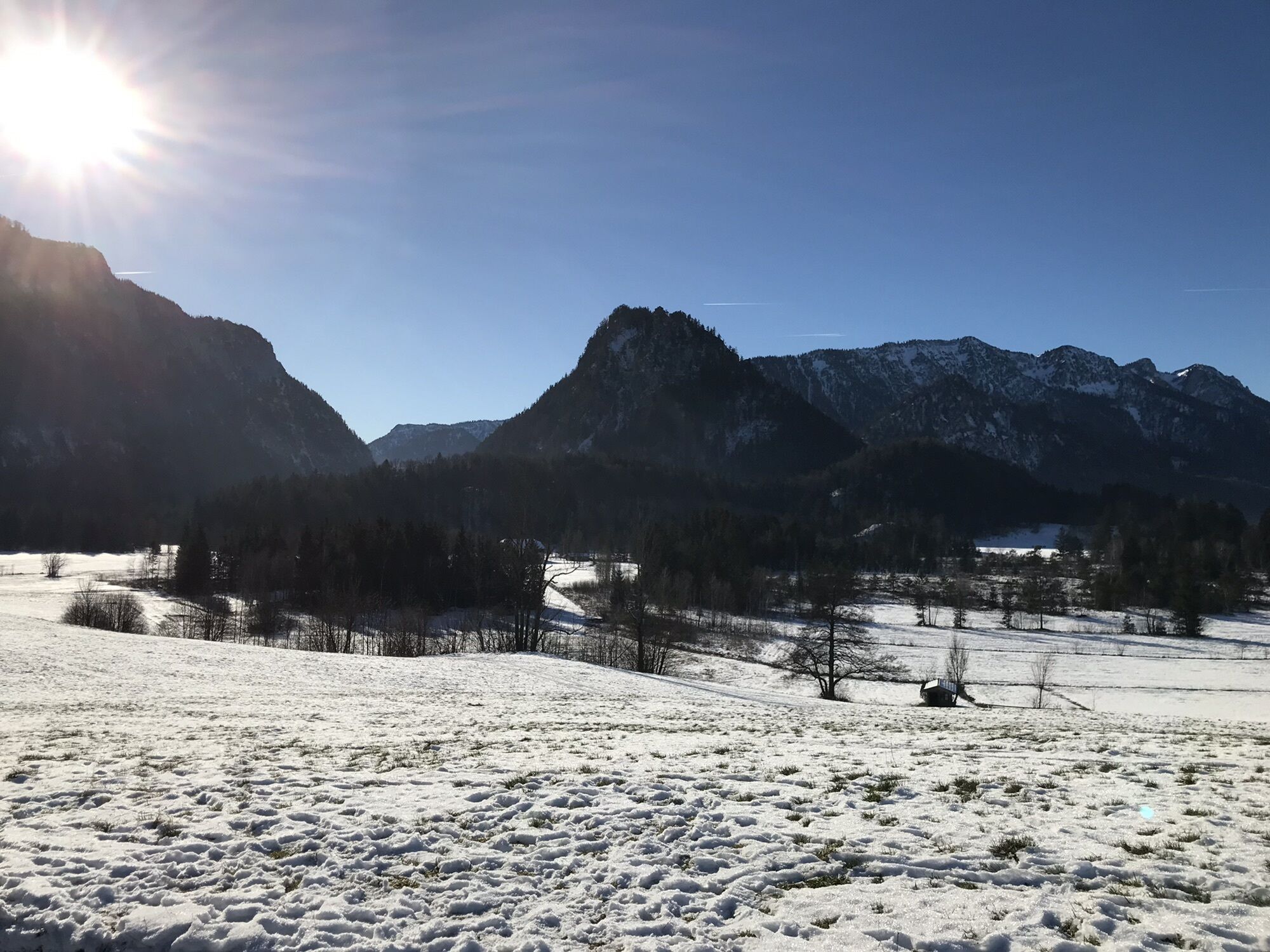
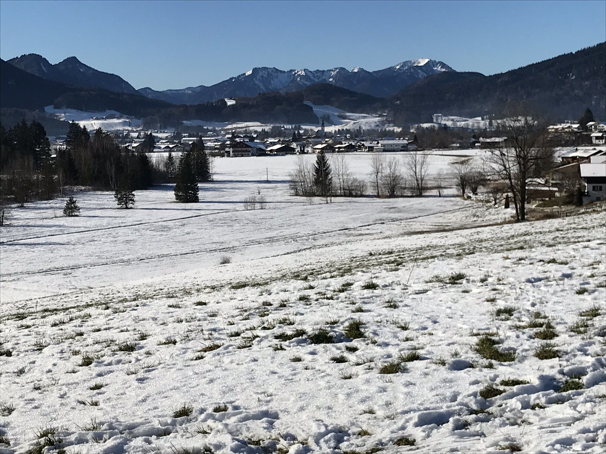
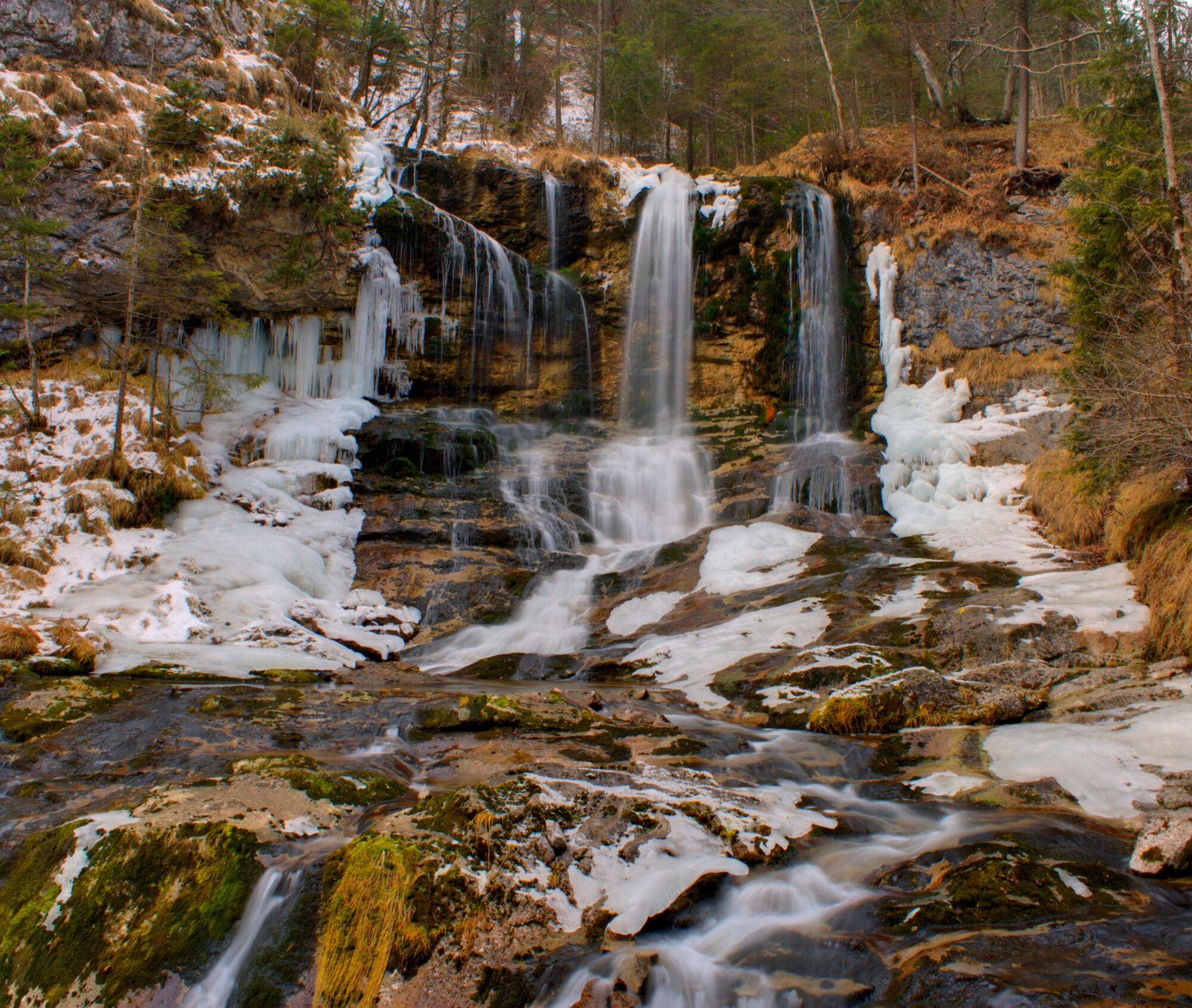
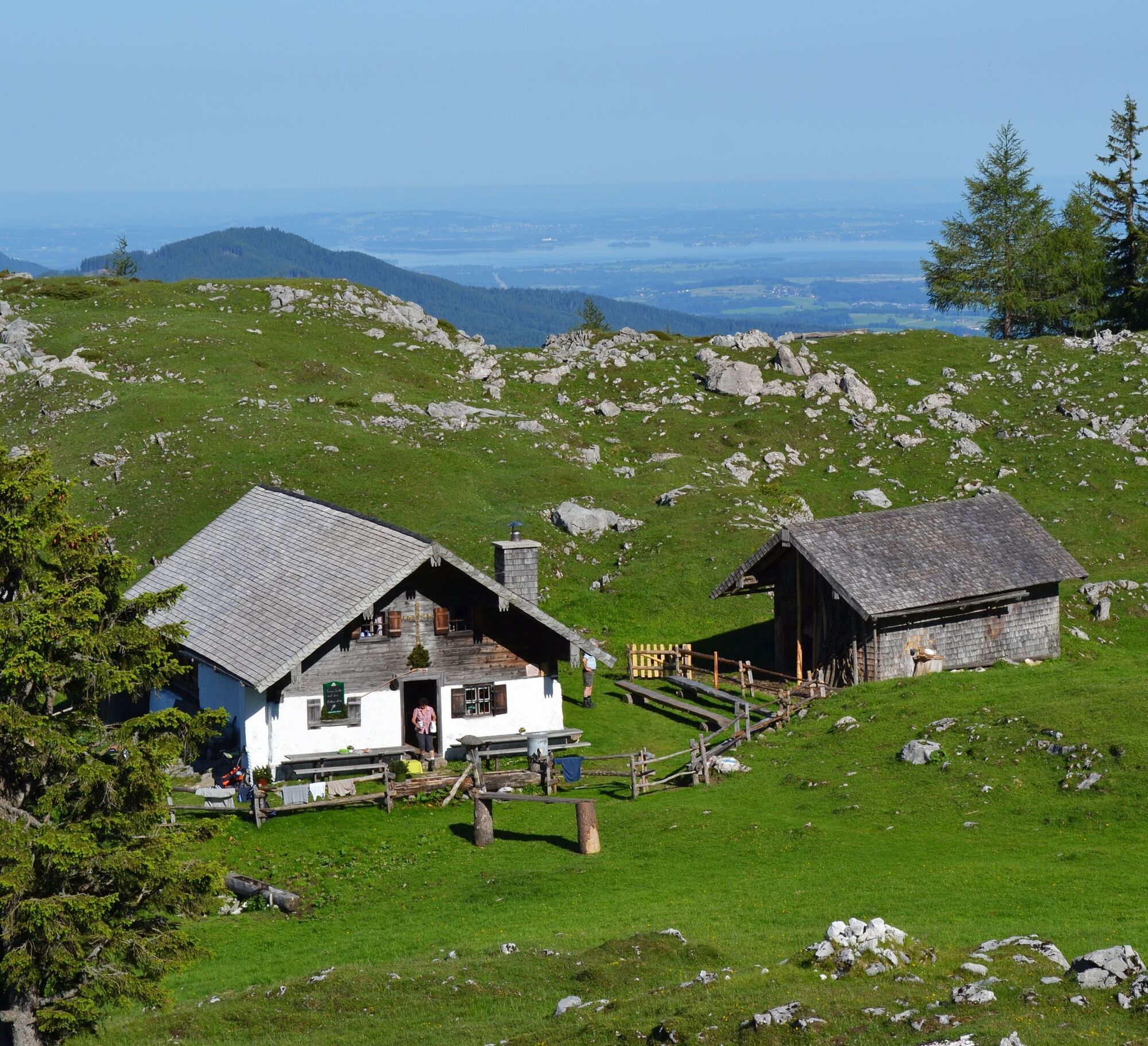
Way: From Zwing we start along the forest road, past the Falkensee, to Einsiedl. Behind the church of St. Nikolaus, the path leads into the forest and up a path to the Kohleralm. Past the Alm, we keep...
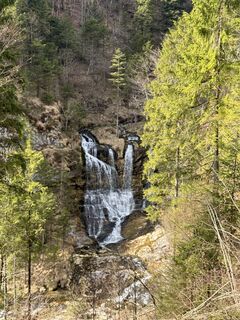
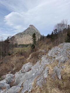
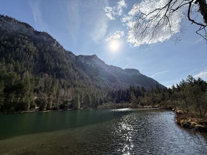
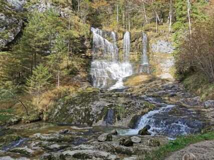
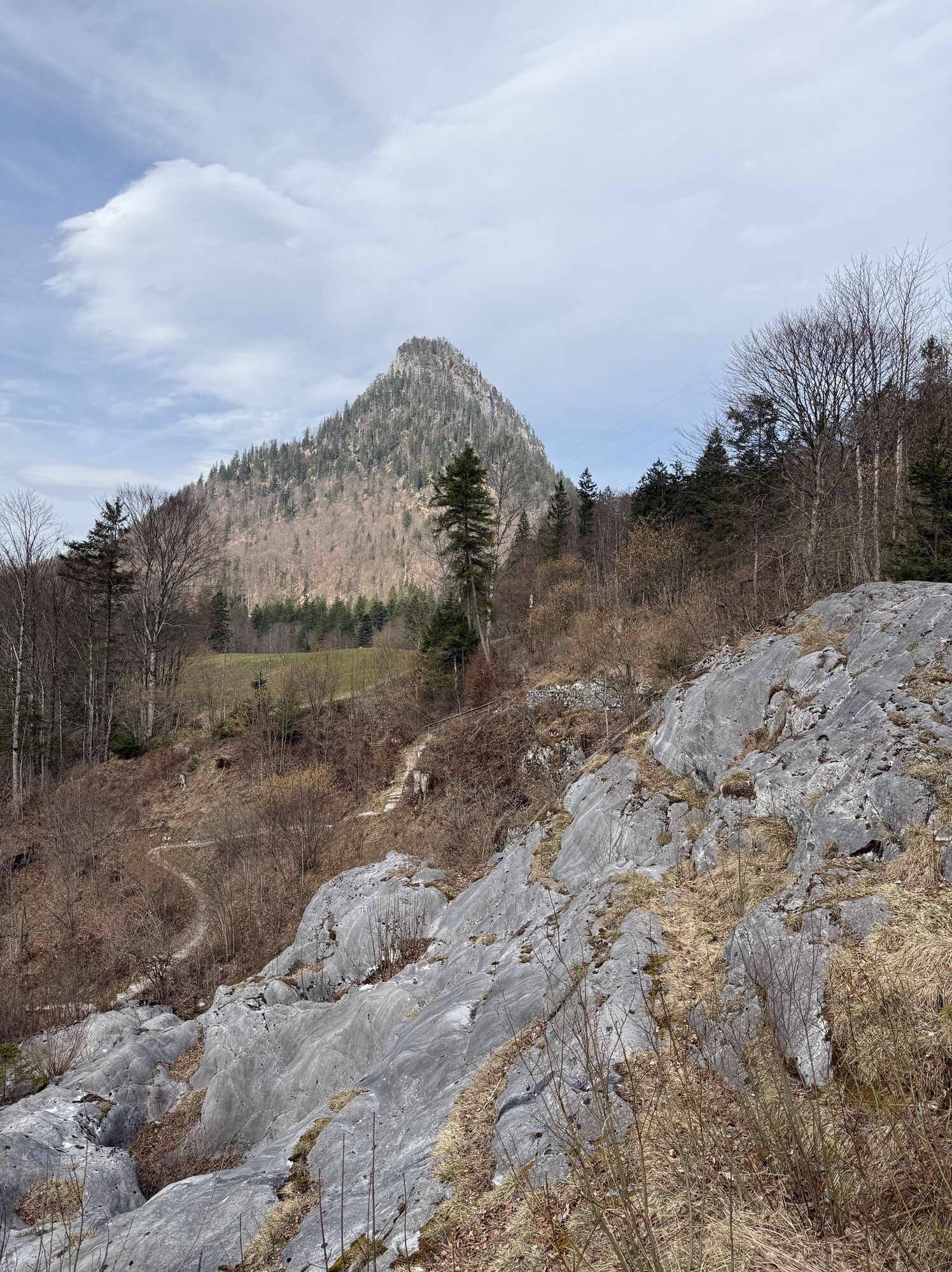
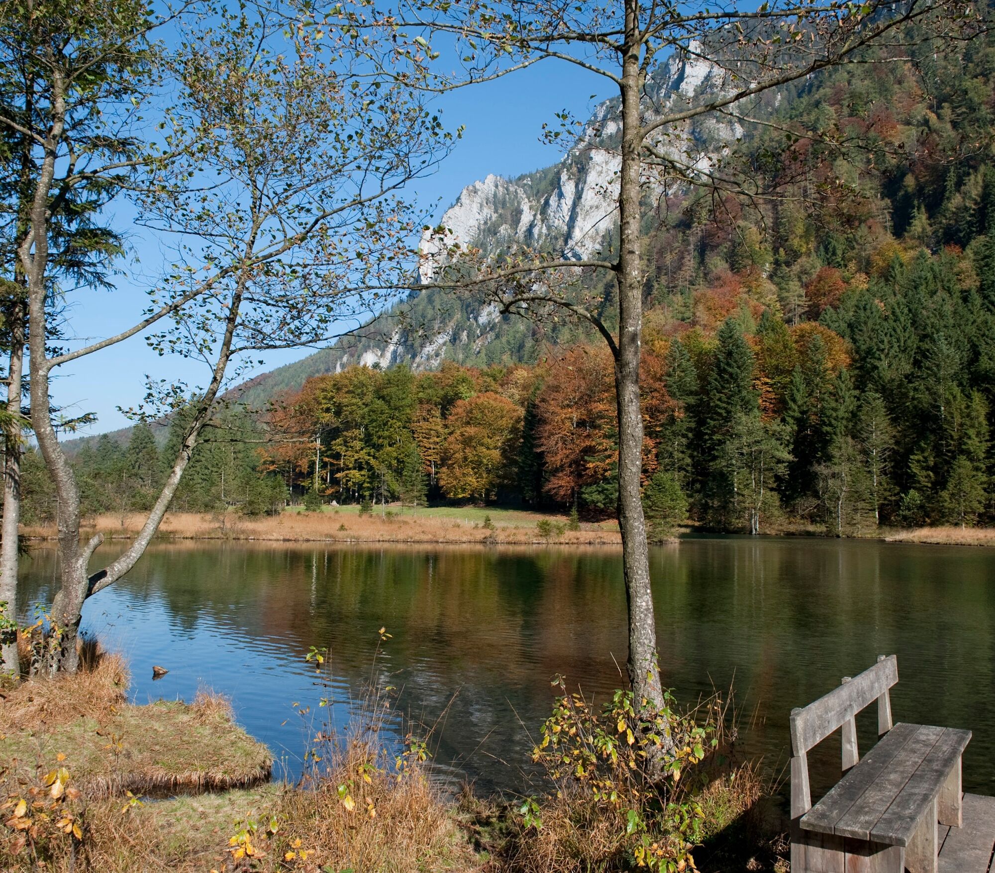
Way: From Zwing we start along the forest road, past the Falkensee, to Einsiedl. Behind the church of St. Nikolaus, the path leads into the forest and up a path to the Kohleralm. Past the Alm, we keep to the right. Follow a narrow path down to the Jochberg. Further down we come to Weißbach. After crossing the road, the path runs along the Weißbach over the Weißbach Falls back to the starting point at Zwing. Special features: On this tour you will experience the diversity of the Chiemgau Alps. A breathtaking view of the Chiemsee and the Sonntagshorn awaits you on the Kohleralm. In the finale you will experience the impressive nature of a gorge and the roar of the Weißbach Falls. Refreshments: Kohleralm (partially serviced) Tip: dare the somewhat demanding ascent from the Kohleralm to the summit cross. A magnificent view of the surrounding Alps awaits you on the Gamsknogel.

Coming from Siegsdorf, cross the town along the main road. About 1 km after the Max Aicher Arena you will reach the district of Zwing.
incell
Popularne wycieczki w okolicy
-
4,3
Staufen-Bergtour
średniWędrówka 14,1 km -
3,8
Rundwanderweg zur Steinernen Agnes
Wędrówka 9 km -
3,3
Zwiesel-Runde
Wędrówka 11,0 km -
4,4
Hochstaufen
ciężkiWędrówka 7,59 km -
2,8
Almerlebnisweg Ramsau
Wędrówka 11,8 km -
4,9
Dötzenkopf Rundweg
średniWędrówka 6,73 km -
4,6
Alpgarten-Rundweg
Wędrówka 2,93 km -
4,5
Unternberg
światłoWędrówka 9,20 km -
3,3
From Heutal to Sonntagshorn in the Salzburger Saalachtal
średniWędrówka 11,7 km -
4,8
Pidinger Klettersteig mit Umweg im Abstieg
ciężkiVia ferrata 15,0 km

Wędrówki i tropienie


Nie przegap ofert i inspiracji na następne wakacje
Twój adres e-mail została dodana do listy mailingowej.