Hochstaufen Traverse
Wędrówka
5,0
Nawigacja
Nawigacja
Pobierz tę trasę na swój telefon komórkowy
Hochstaufen Traverse
Wędrówka
17,18
km
Zeskanuj kod QR i rozpocznij nawigację w aplikacji bergfex.

Wędrówki i tropienie


Hochstaufen Traverse
Wędrówka
5,0
Odległość
17,18
km
Czas trwania
07:17
h
Ascent
1 374
hm
Poziom morza
770 -
1 777
m
Ścieżka do pobrania
Hochstaufen Traverse
Wędrówka
17,18
km
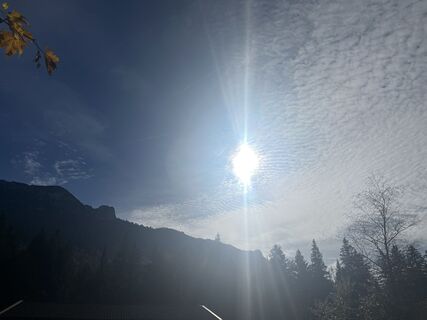
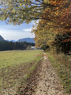
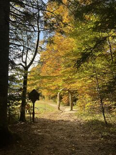
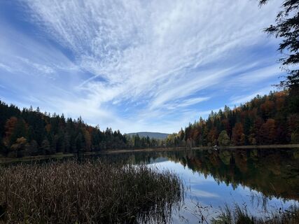
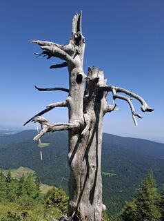
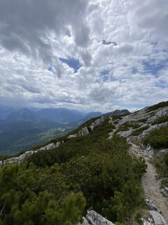
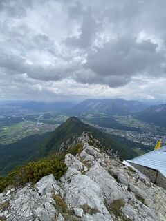
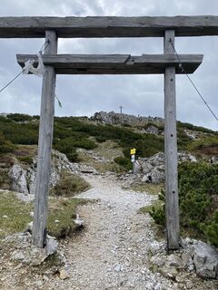
Zdjęcia naszych użytkowników
-

 © Ralf HubrichUtworzono dnia 06.04.2026
 -
 © Ralf HubrichUtworzono dnia 06.04.2026
 -
 © micsunel ciocirtauUtworzono dnia 05.04.2026
 -
 © micsunel ciocirtauUtworzono dnia 05.04.2026
 -

 © Benedikt NökerUtworzono dnia 13.12.2025
 -
 © Benedikt NökerUtworzono dnia 13.12.2025
 -
 © Benedikt NökerUtworzono dnia 13.12.2025
 -
 © Benedikt NökerUtworzono dnia 13.12.2025
 -
 © Benedikt NökerUtworzono dnia 13.12.2025
 -
 © Jerven Hulleman 1Utworzono dnia 19.10.2025
 -
 © Jerven Hulleman 1Utworzono dnia 19.10.2025
 -
 © Jerven Hulleman 1Utworzono dnia 19.10.2025
 -
 © Jerven Hulleman 1Utworzono dnia 19.10.2025
 -
 © Jerven Hulleman 1Utworzono dnia 19.10.2025
 -
 © Jerven Hulleman 1Utworzono dnia 19.10.2025
 -
 © Jerven Hulleman 1Utworzono dnia 19.10.2025
 -
 © Jerven Hulleman 1Utworzono dnia 19.10.2025
 -
 © Jerven Hulleman 1Utworzono dnia 19.10.2025
 -
 © Jerven Hulleman 1Utworzono dnia 28.09.2025
 -
 © Jerven Hulleman 1Utworzono dnia 28.09.2025
 -
 © Jerven Hulleman 1Utworzono dnia 28.09.2025
 -

 © JohannesUtworzono dnia 20.09.2025
 -
 © Stefan17Utworzono dnia 18.09.2025
 -
 © Stefan17Utworzono dnia 18.09.2025
 -
 © Stefan17Utworzono dnia 18.09.2025
 -
 © Stefan17Utworzono dnia 18.09.2025
 -
 © Stefan17Utworzono dnia 18.09.2025
 -
 © Stefan17Utworzono dnia 18.09.2025
 -
 © Meinrad FögerUtworzono dnia 11.09.2025
 -

 © Sven KrieblinUtworzono dnia 27.07.2025
 -

 © Günther ForsthuberUtworzono dnia 15.06.2025
 -
 © Günther ForsthuberUtworzono dnia 15.06.2025
 -
 © Sven KrieblinUtworzono dnia 24.05.2025
 -
 © Sven KrieblinUtworzono dnia 24.05.2025
 -
 © Sven KrieblinUtworzono dnia 24.05.2025
 -
 © Sven KrieblinUtworzono dnia 24.05.2025
 -

 © Thomas RalserUtworzono dnia 10.05.2025
 -
 © Thomas RalserUtworzono dnia 10.05.2025
 -
 © Thomas RalserUtworzono dnia 10.05.2025
 -
 © Thomas RalserUtworzono dnia 10.05.2025
 -
 © Philipp Humer 1Utworzono dnia 03.05.2025
 -
 © KurtUtworzono dnia 09.03.2025
 -
 © KurtUtworzono dnia 09.03.2025
 -
 © KurtUtworzono dnia 09.03.2025
 -
 © KurtUtworzono dnia 09.03.2025
 -
 © se_muckUtworzono dnia 02.03.2025
 -
 © se_muckUtworzono dnia 02.03.2025
 -
 © se_muckUtworzono dnia 02.03.2025
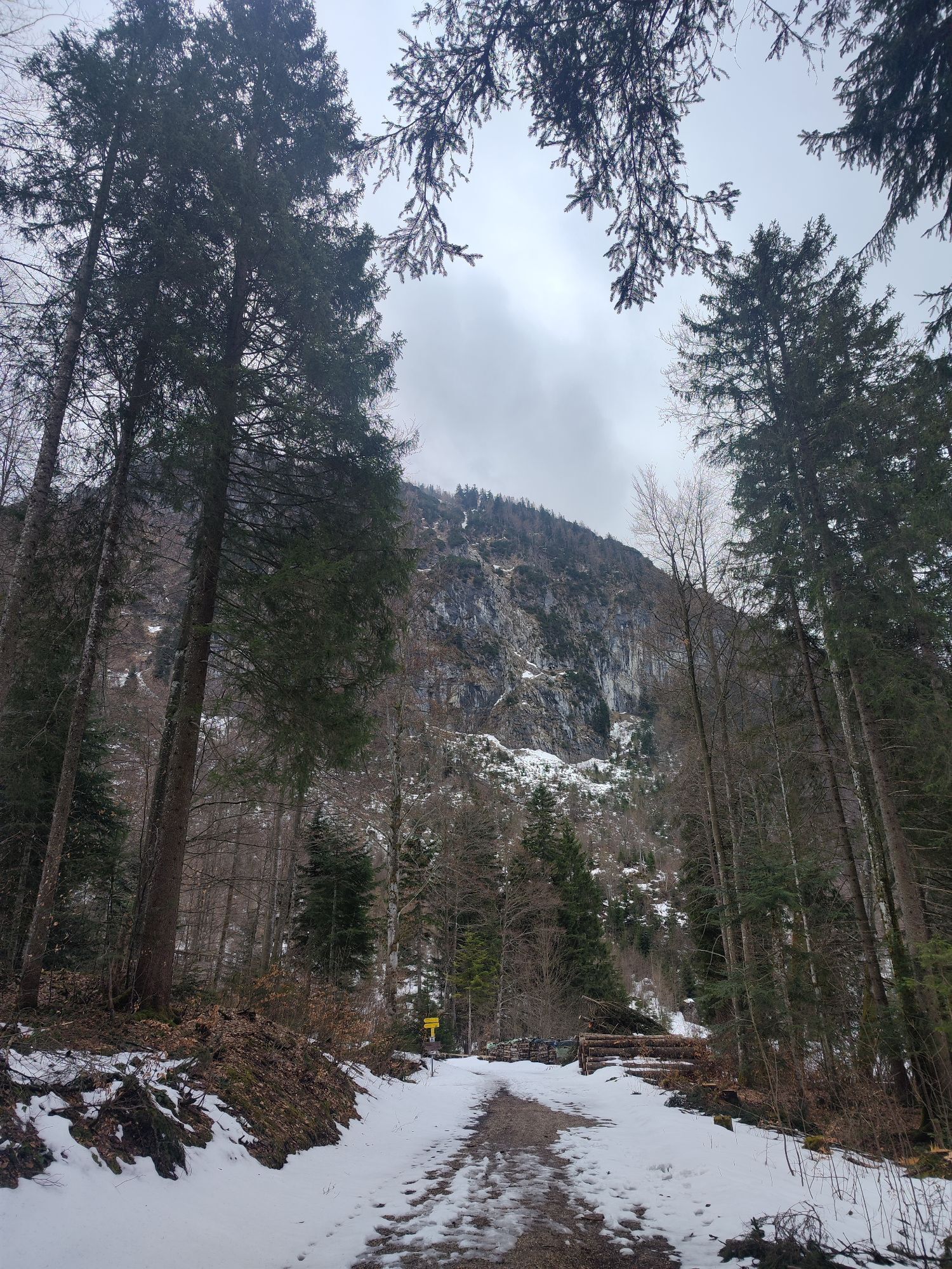


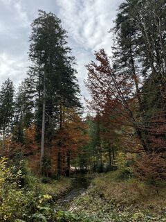
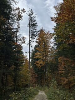
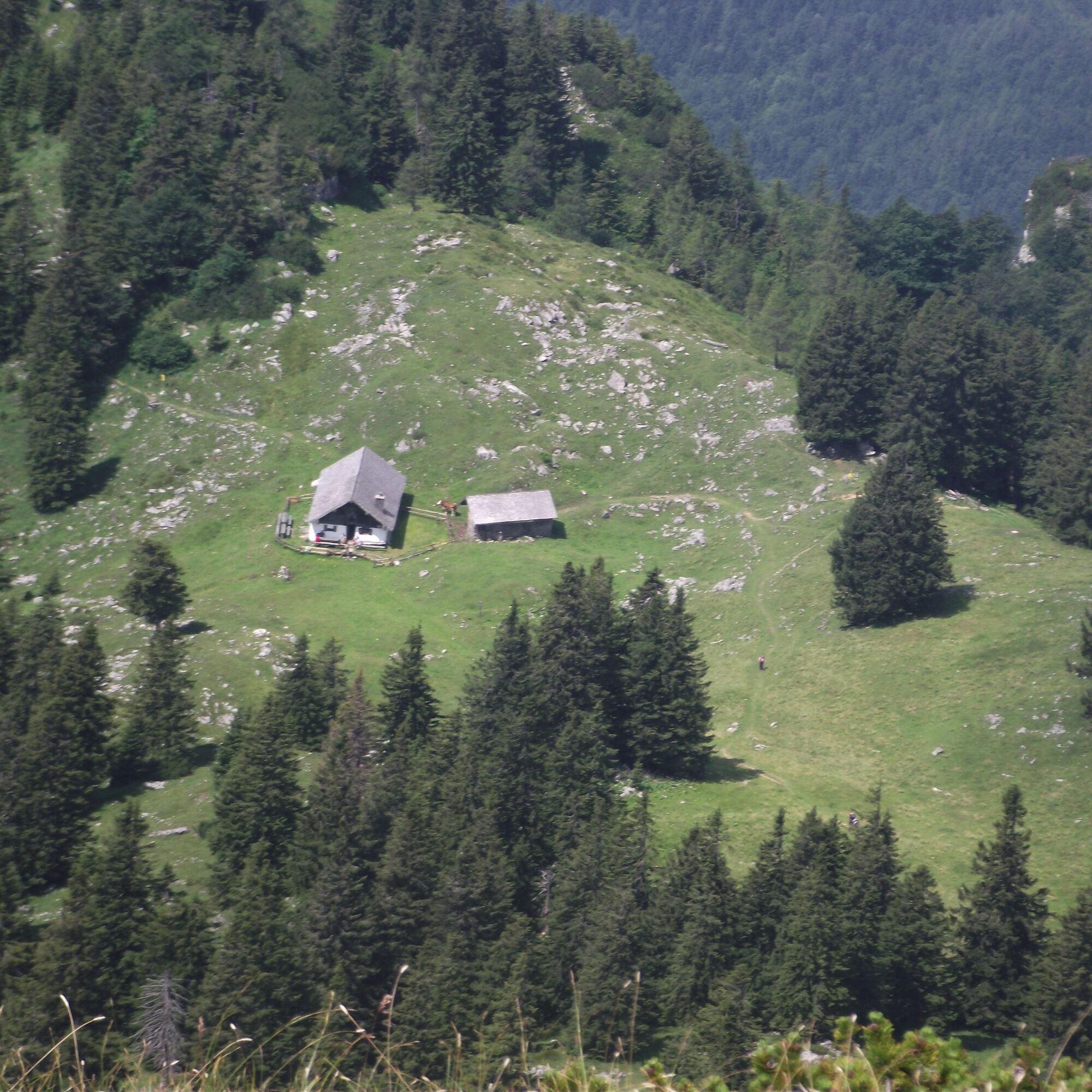
Route: We start from the parking lot in Adlgaß and walk eastwards on a hiking trail along the Frillenseebach until the forest road. From the south end of the lake, take a path to the forest road and after...
Opis
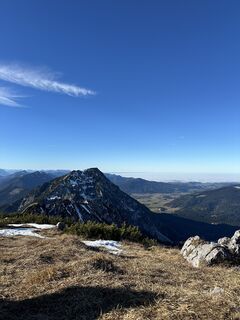
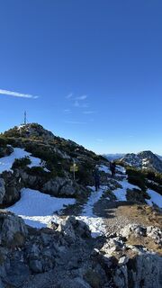
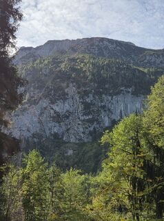
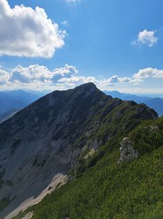
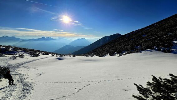
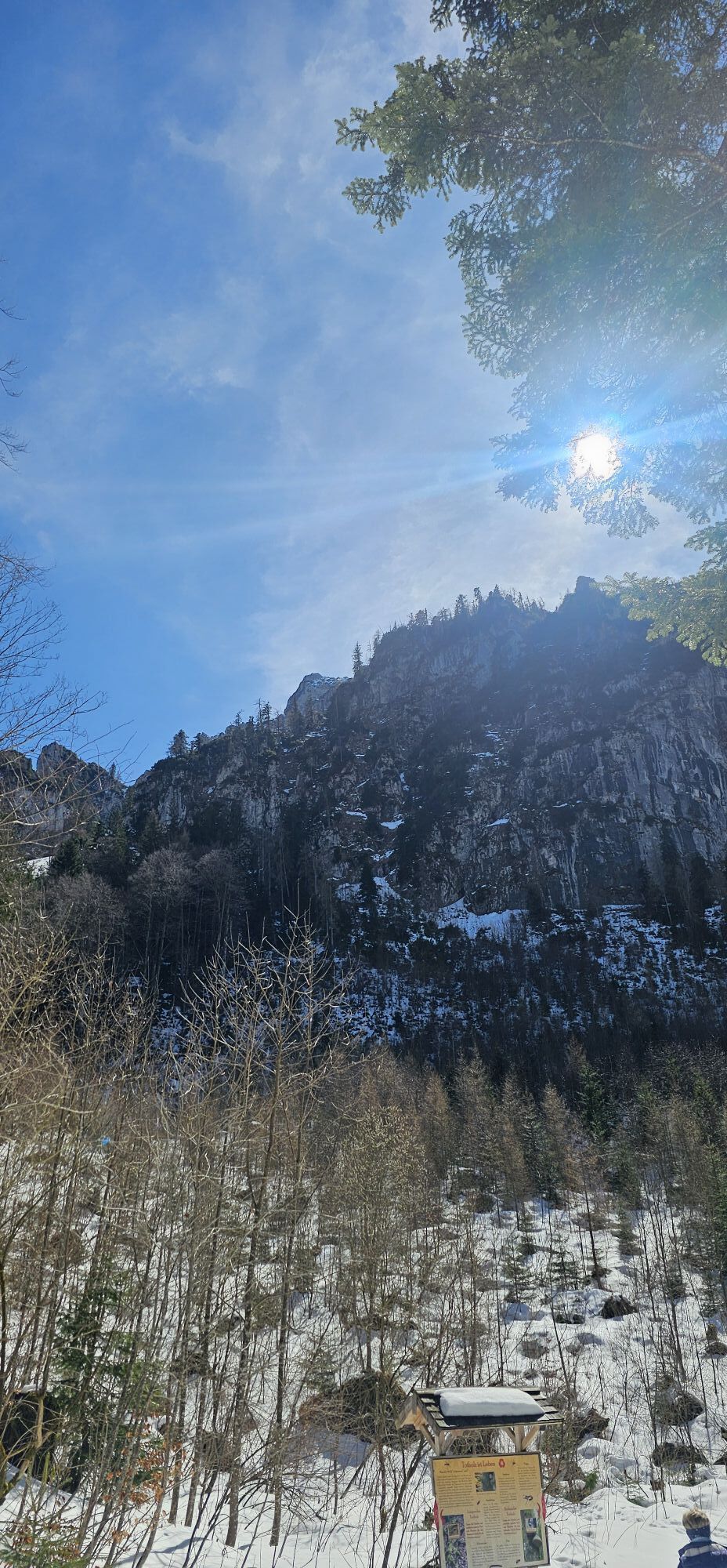
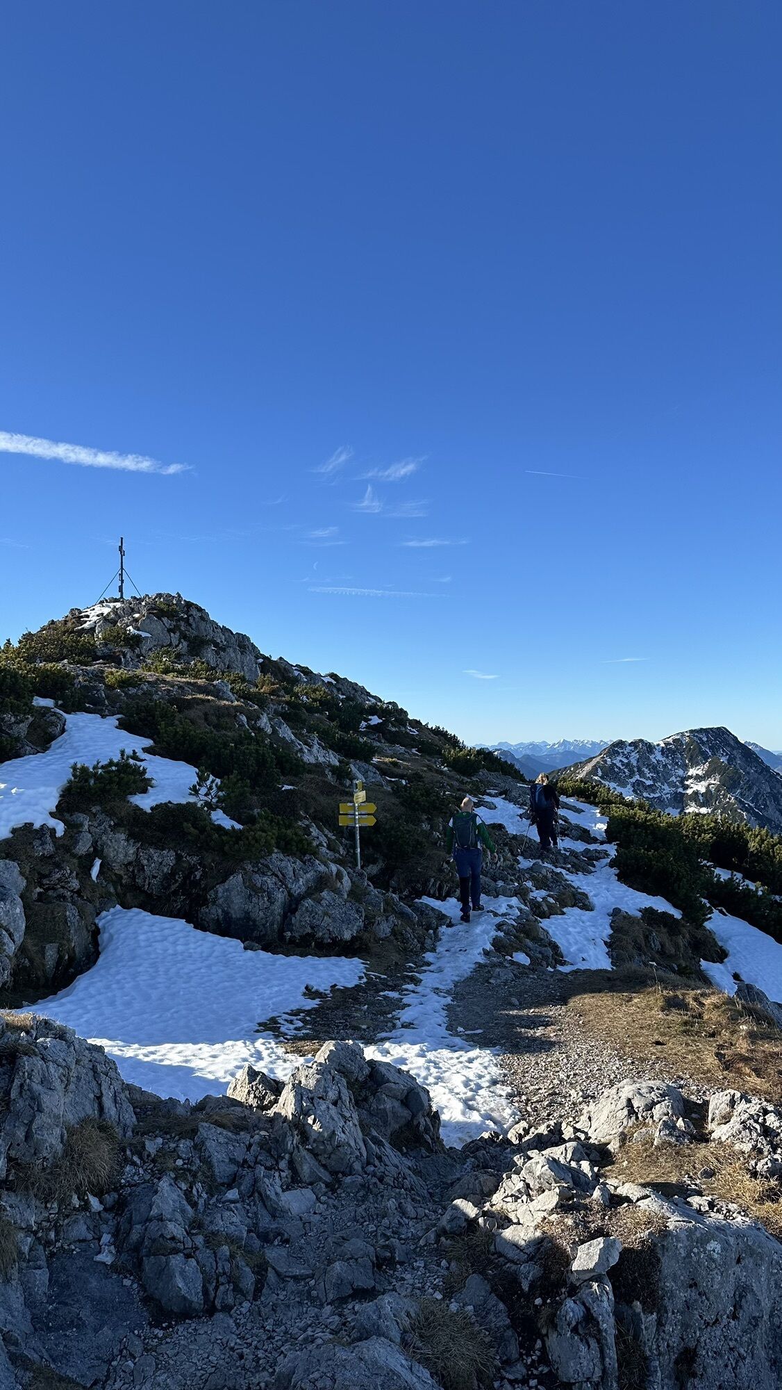
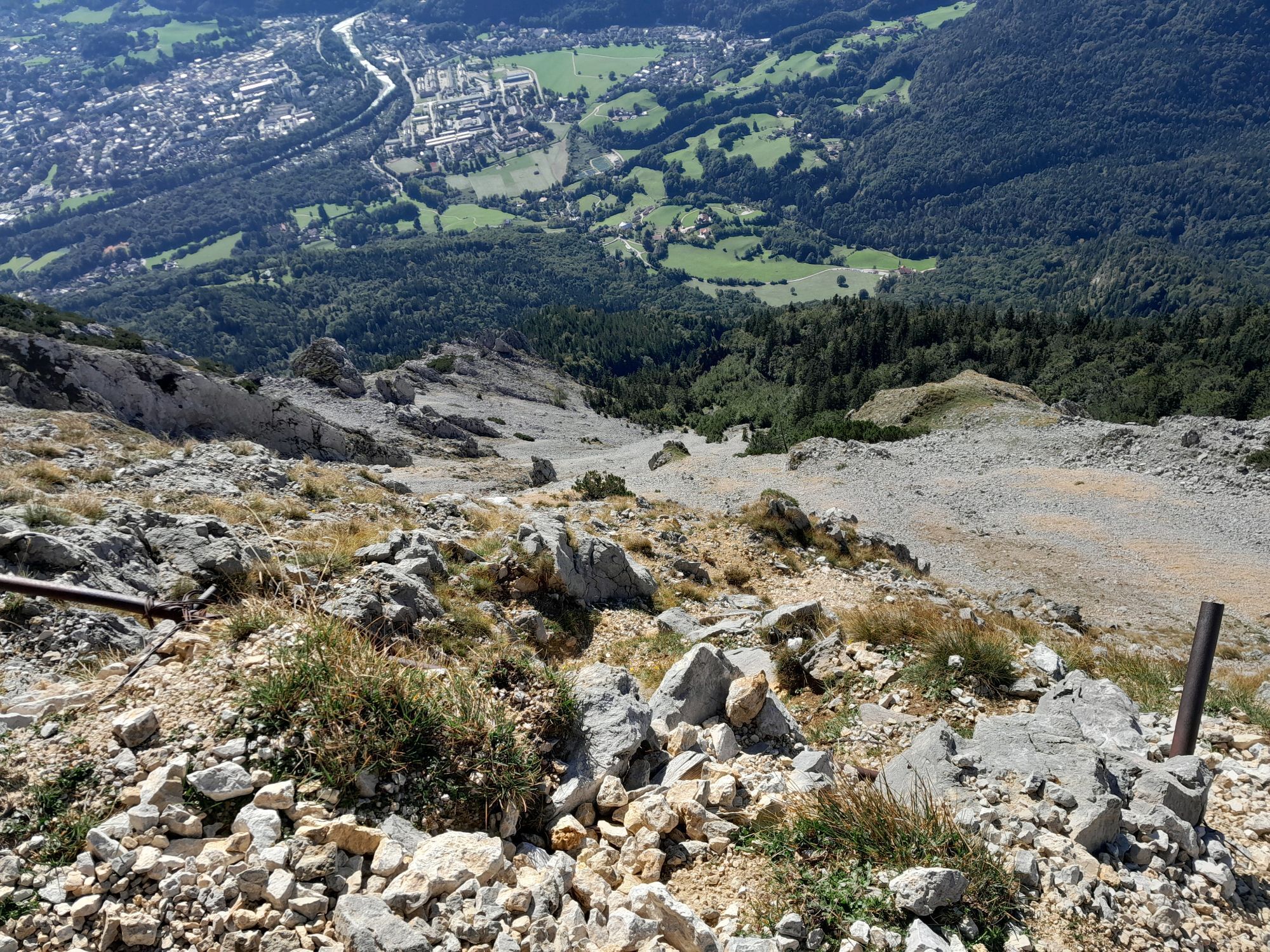
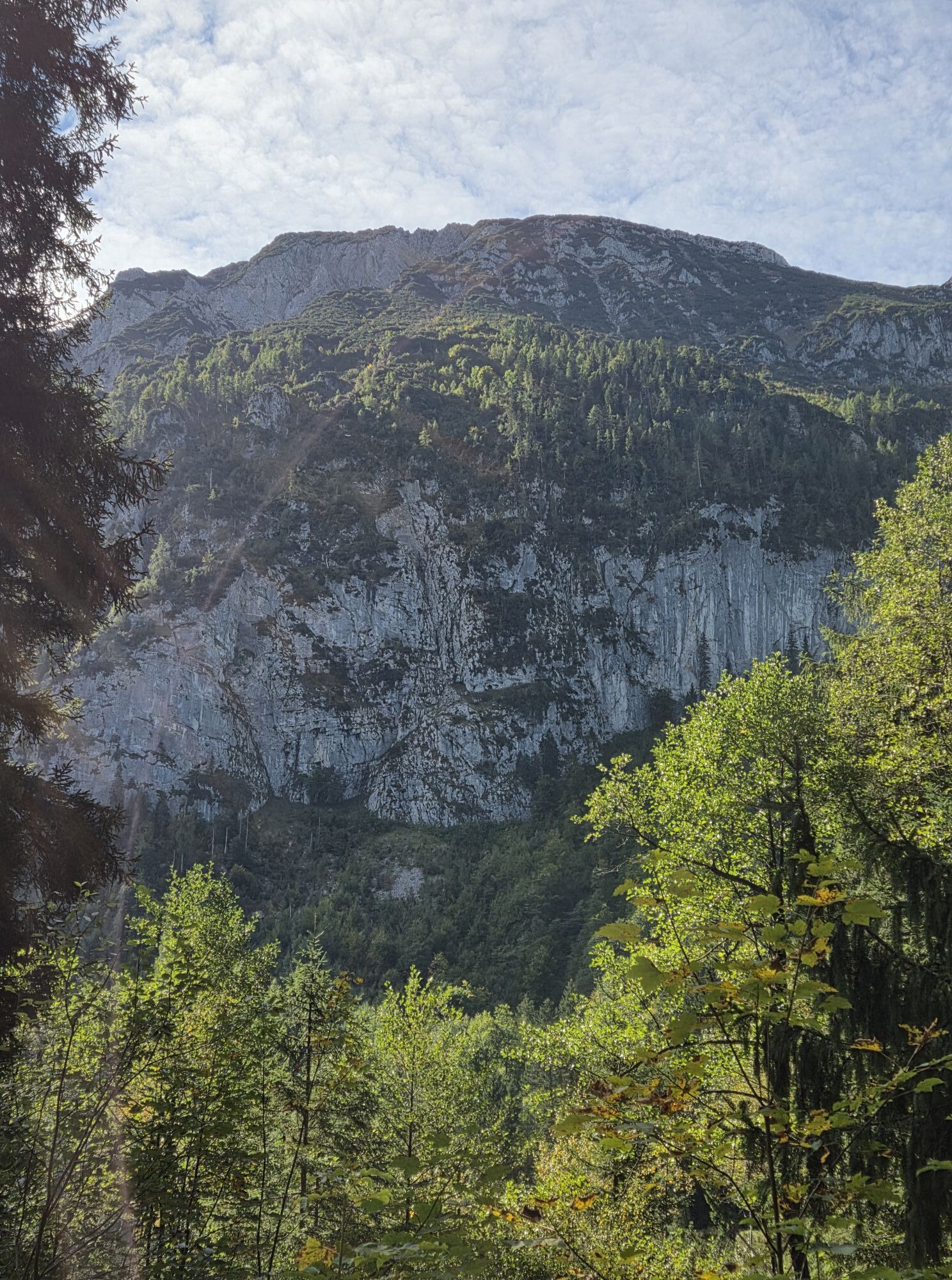
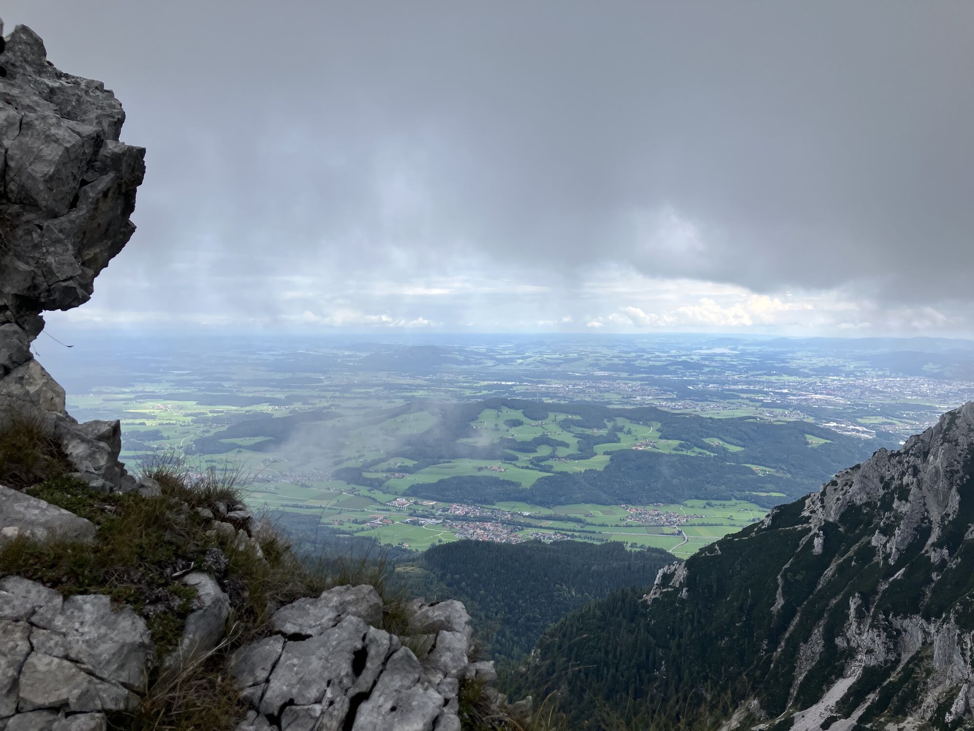
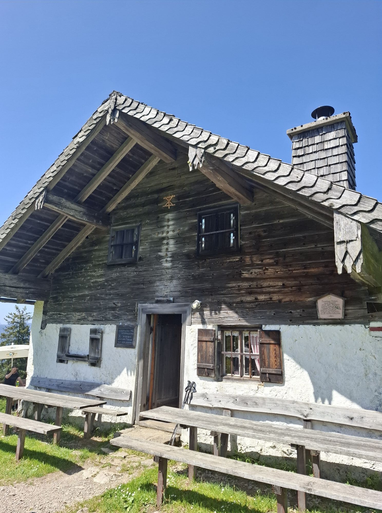
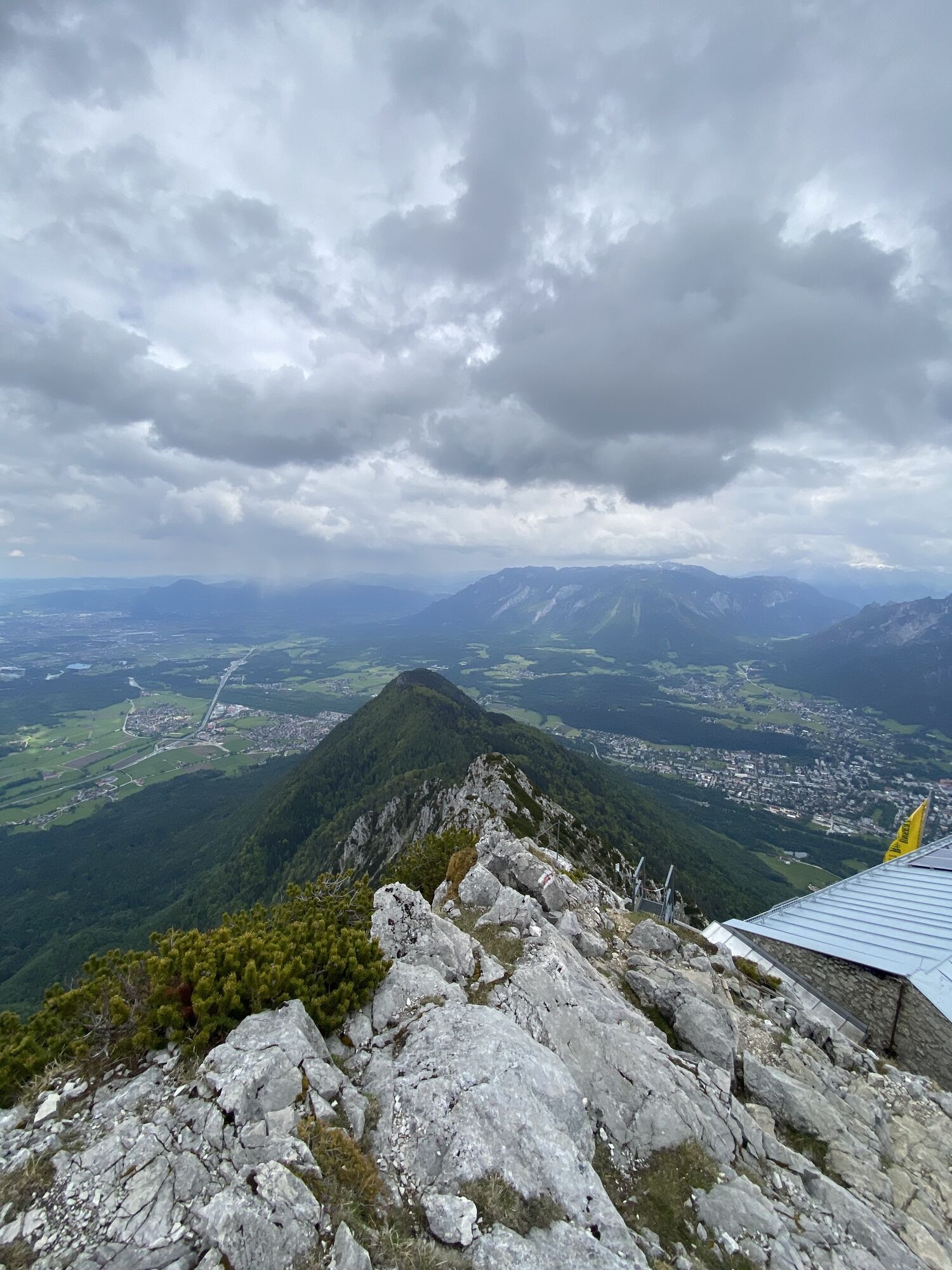
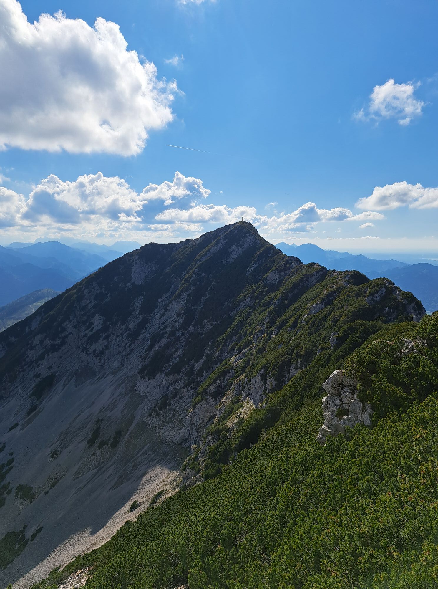
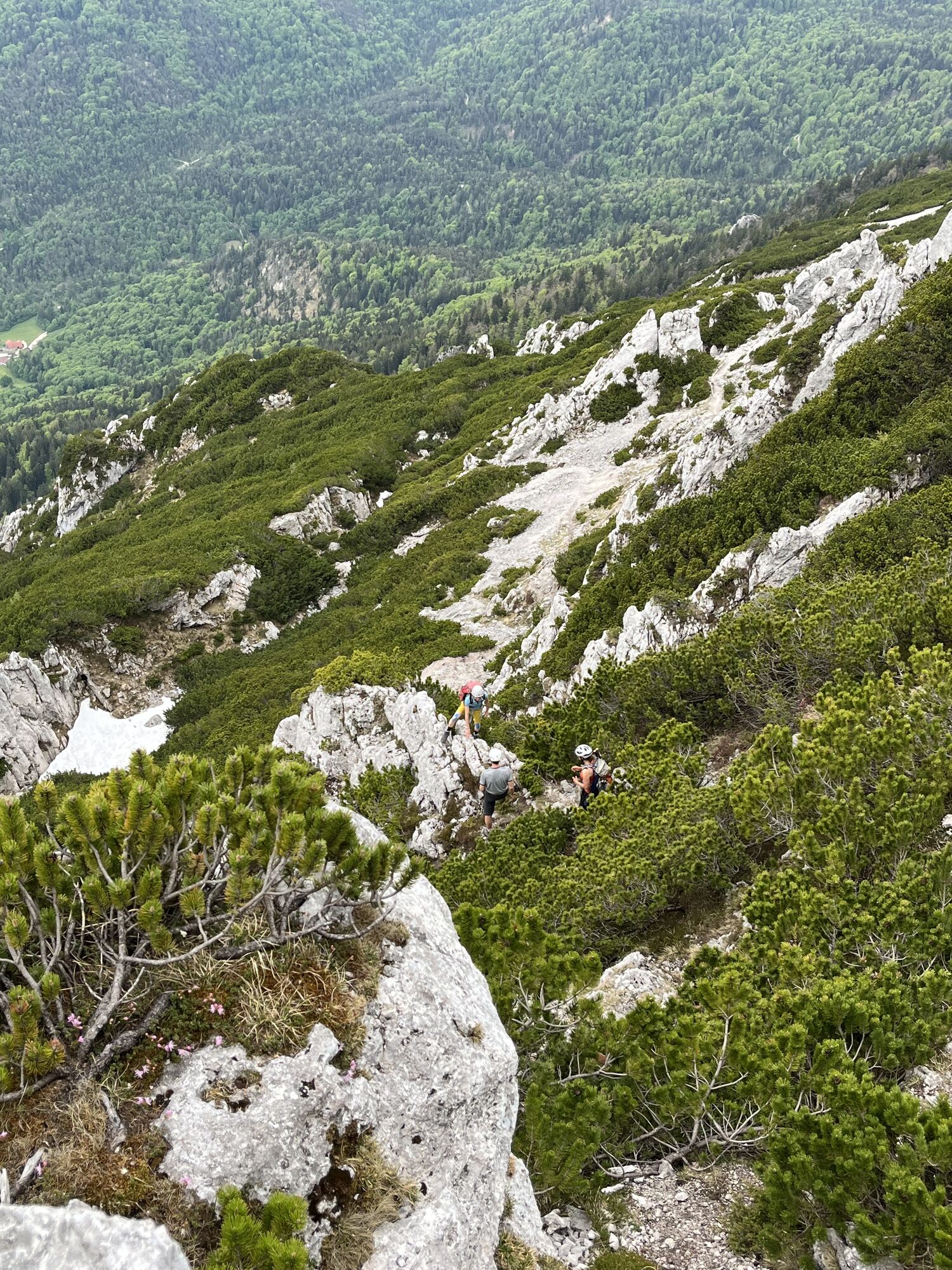
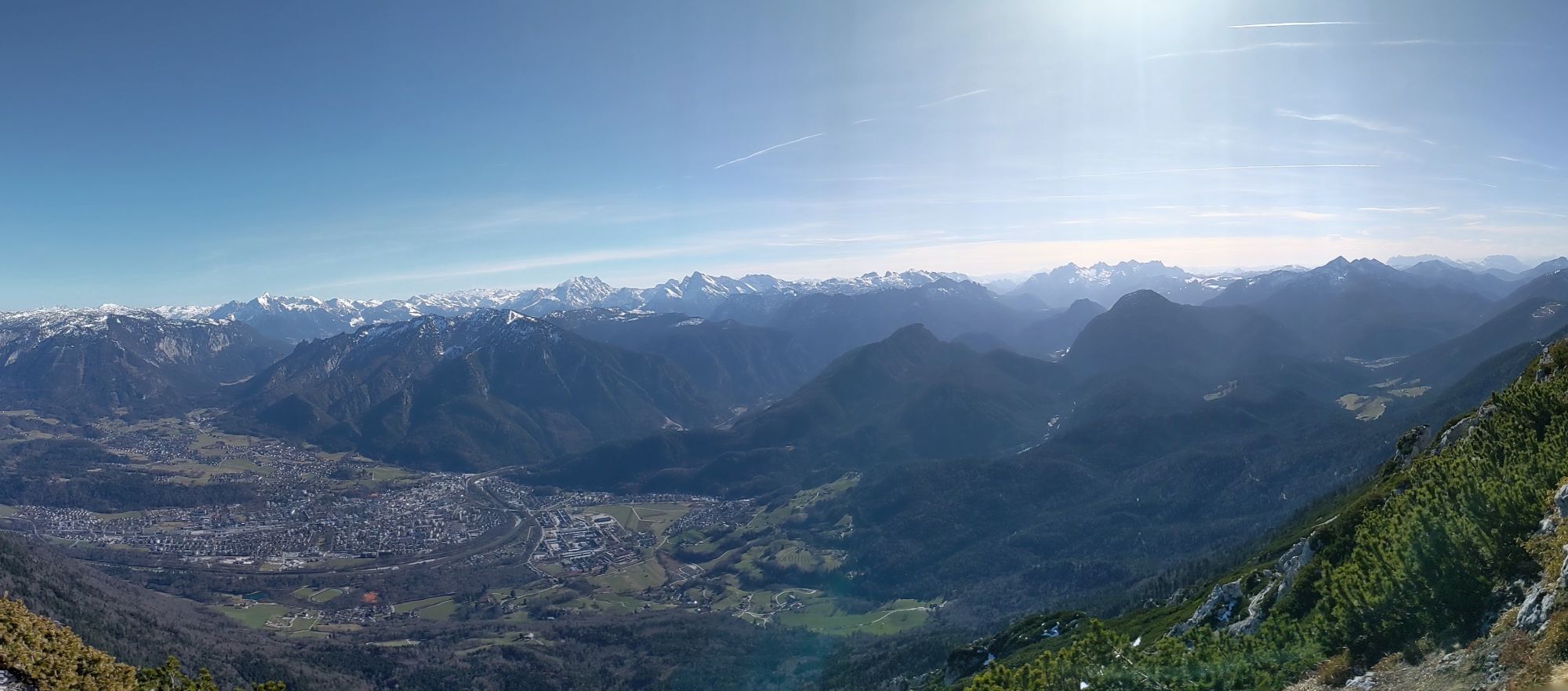
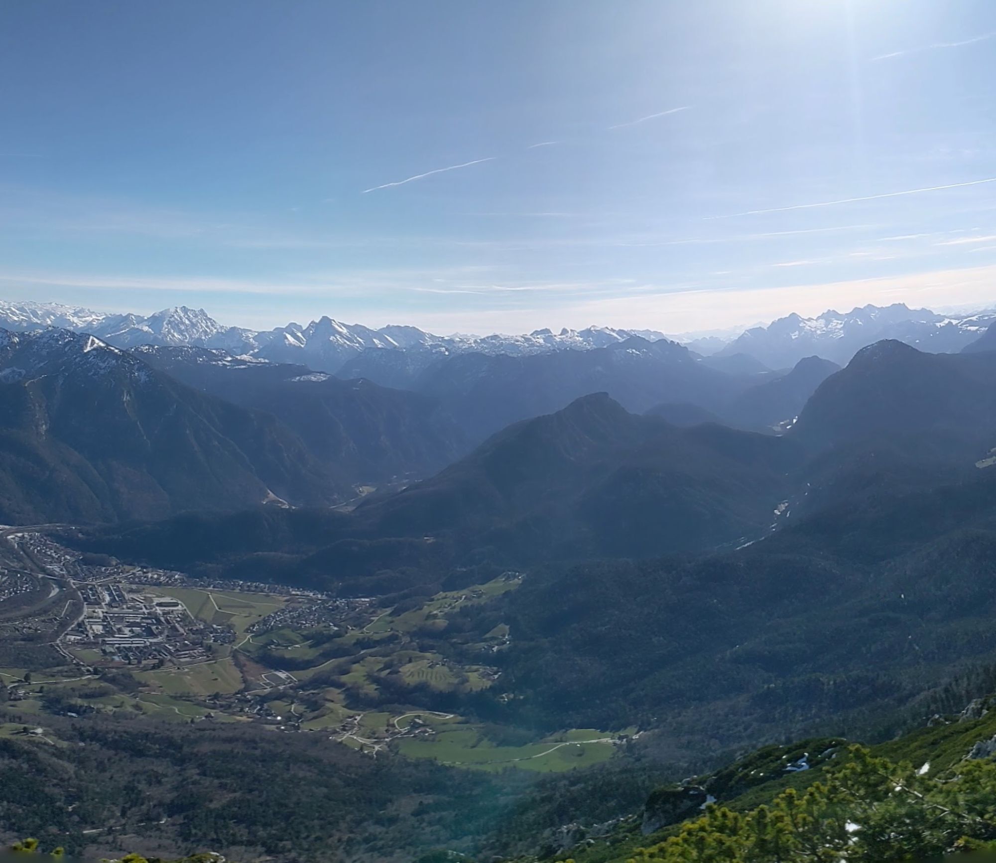
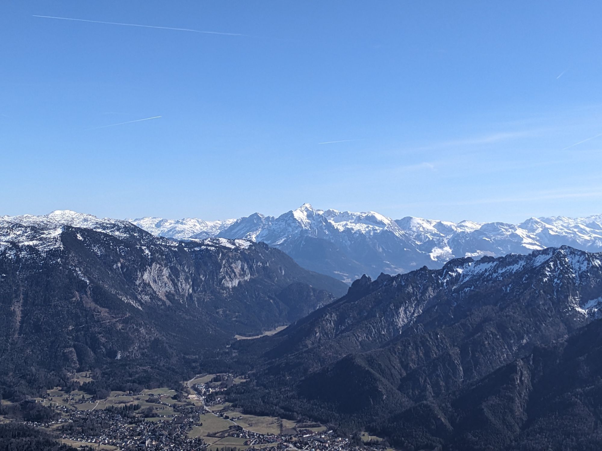
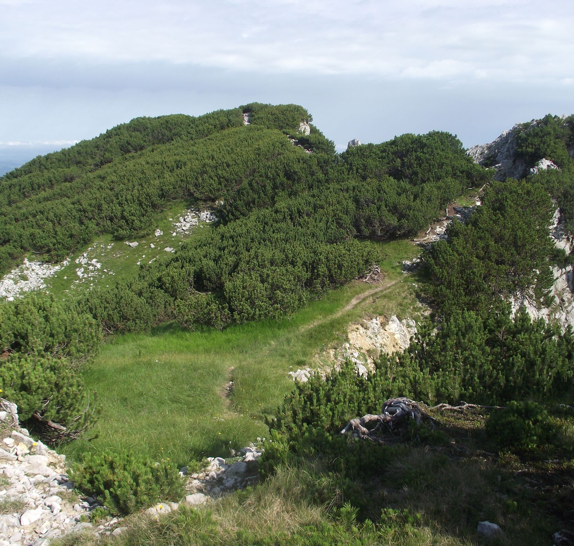
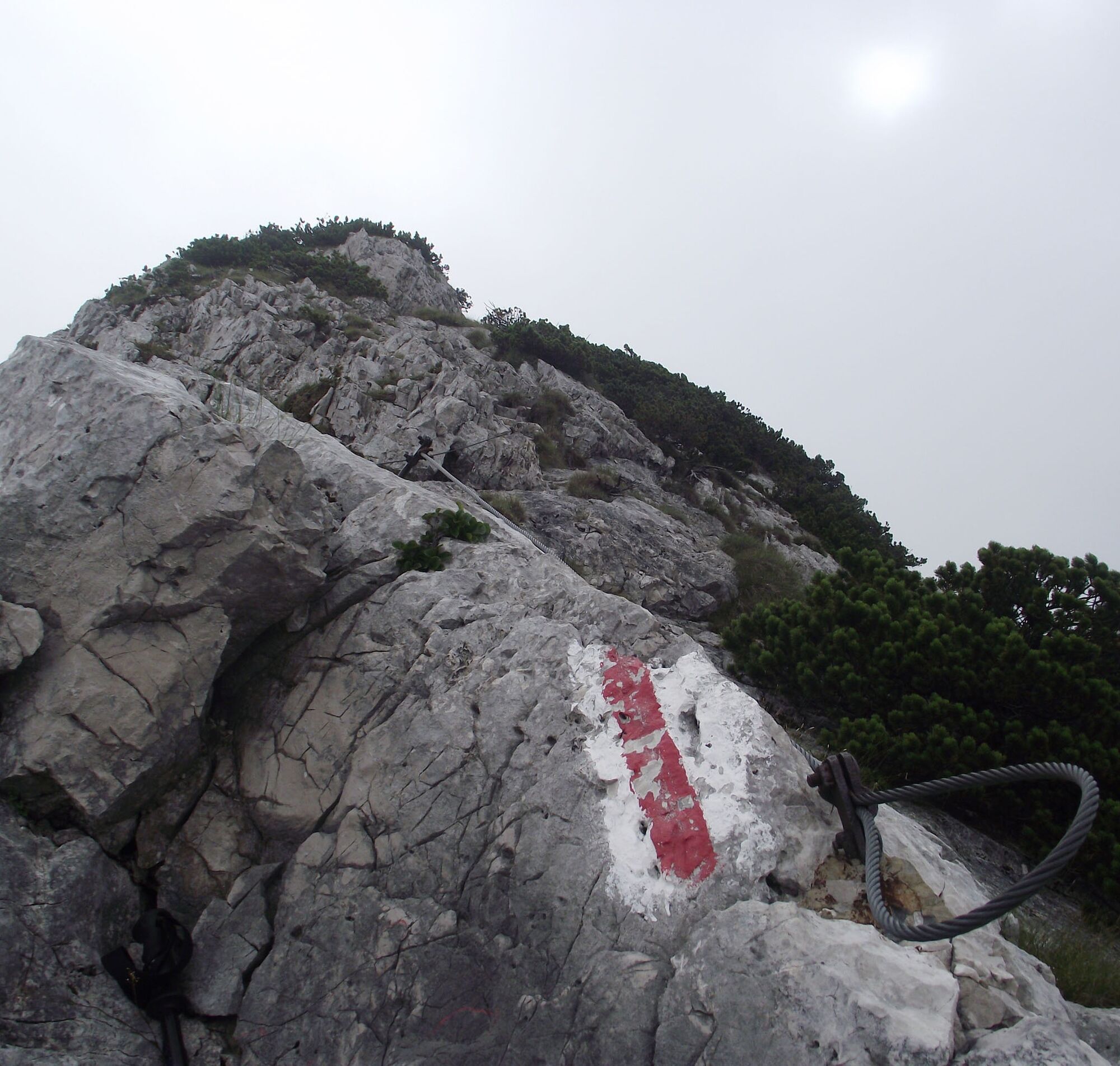
Route: We start from the parking lot in Adlgaß and walk eastwards on a hiking trail along the Frillenseebach until the forest road. From the south end of the lake, take a path to the forest road and after about one kilometer turn southeast. Follow a path always along the ridge to the Reichenhaller House (1750m), just below the Hochstaufen (1771m). Westwards along the ridge (wire ropes) over the Mittelstaufen (1657m), down into a notch (1460m) and partially somewhat exposed (wire ropes) to the Zwiesel (1782m). From Zwiesel descend to the Gamsknogel (1750m) and over the Kohleralm (1450m). Follow the forest road towards Einsiedl and then turn right to Adlgaß.
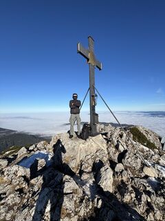
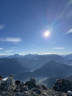
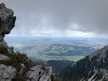
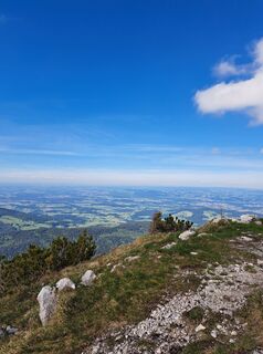
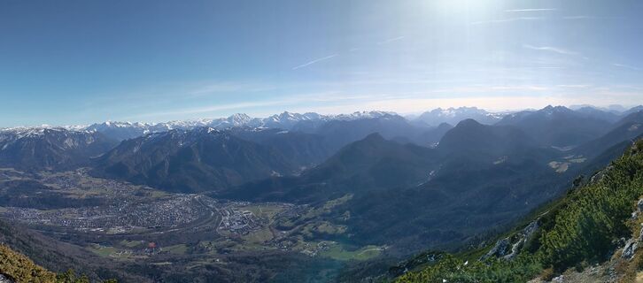
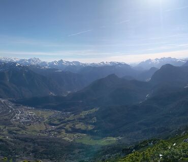
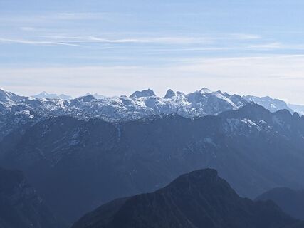
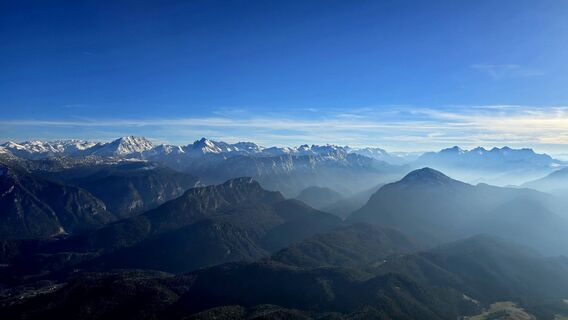
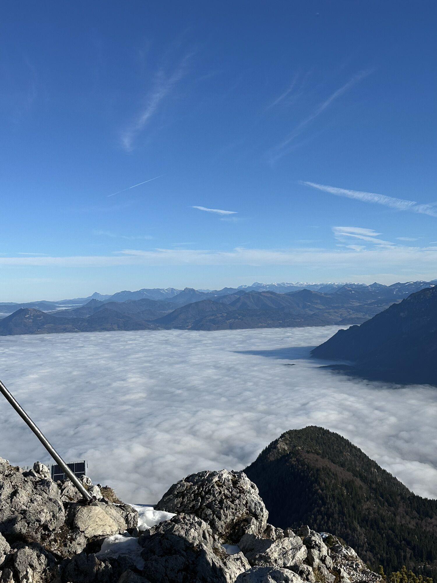
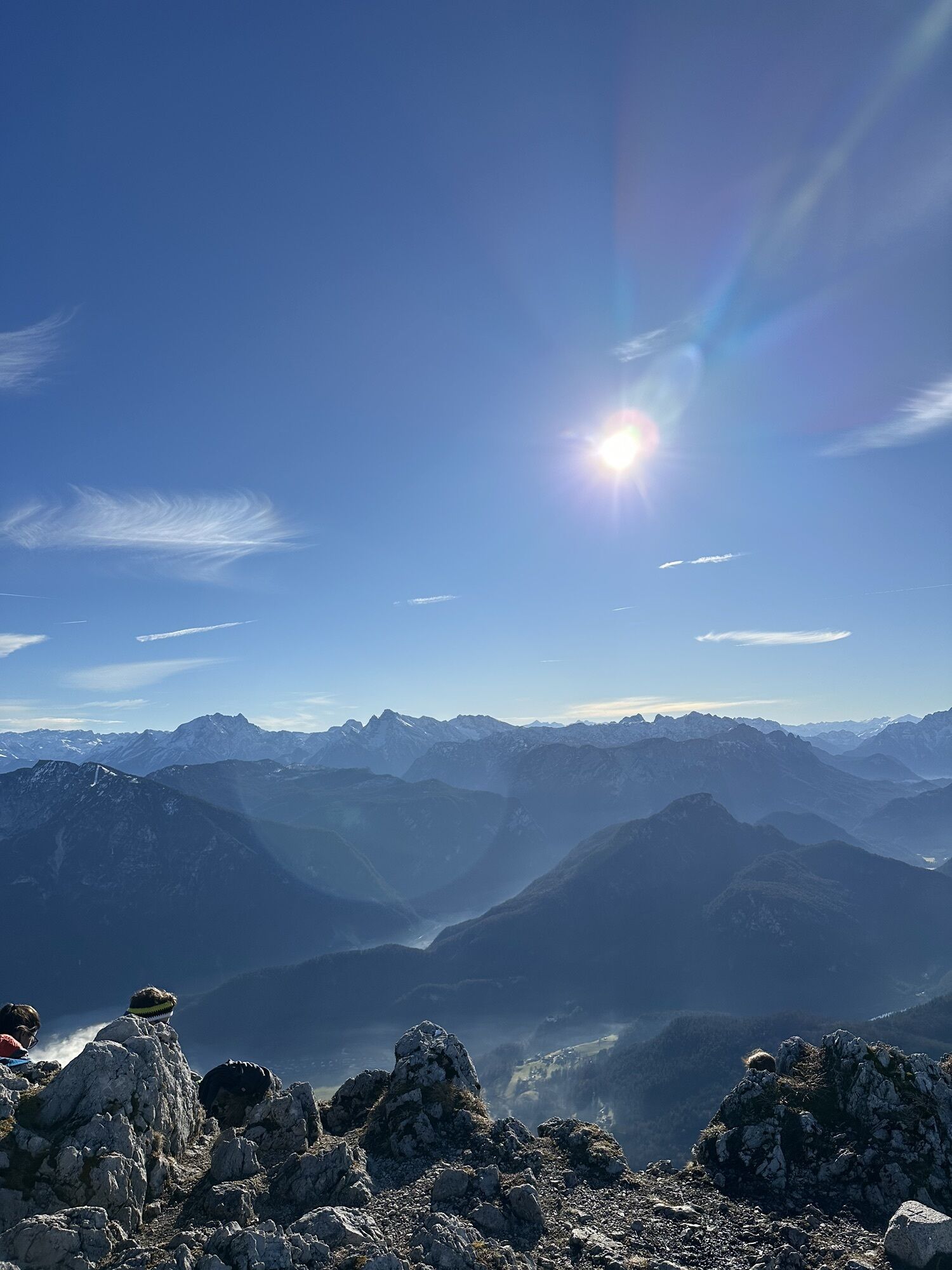
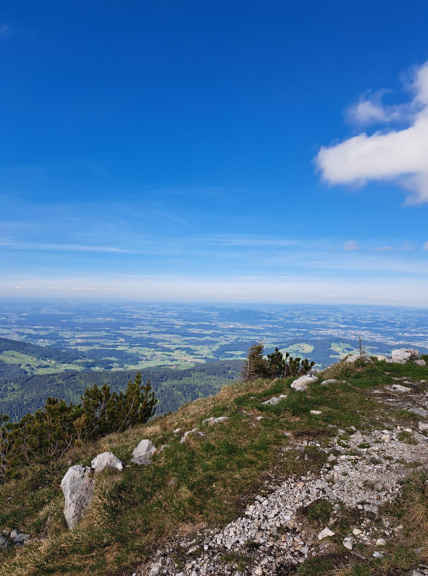
Special feature: On this challenging mountain tour, you cross 3 peaks and the magnificent mountain panorama rewards you for the effort.
Refreshments: Gasthof Adlgaß, Reichenhaller House
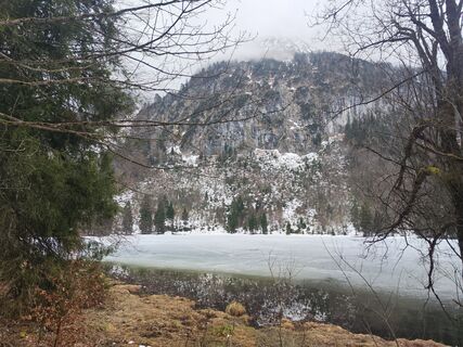
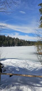
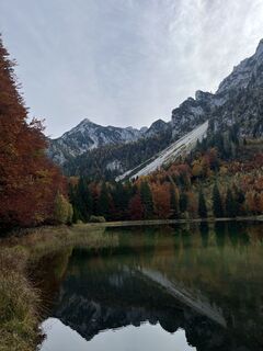
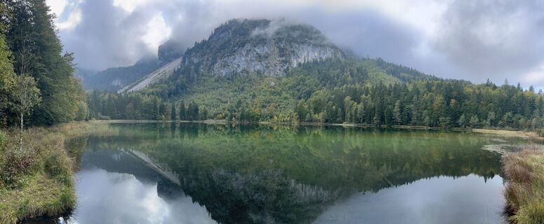
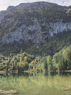
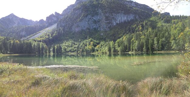
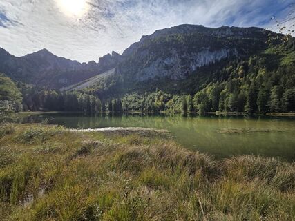
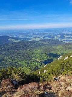
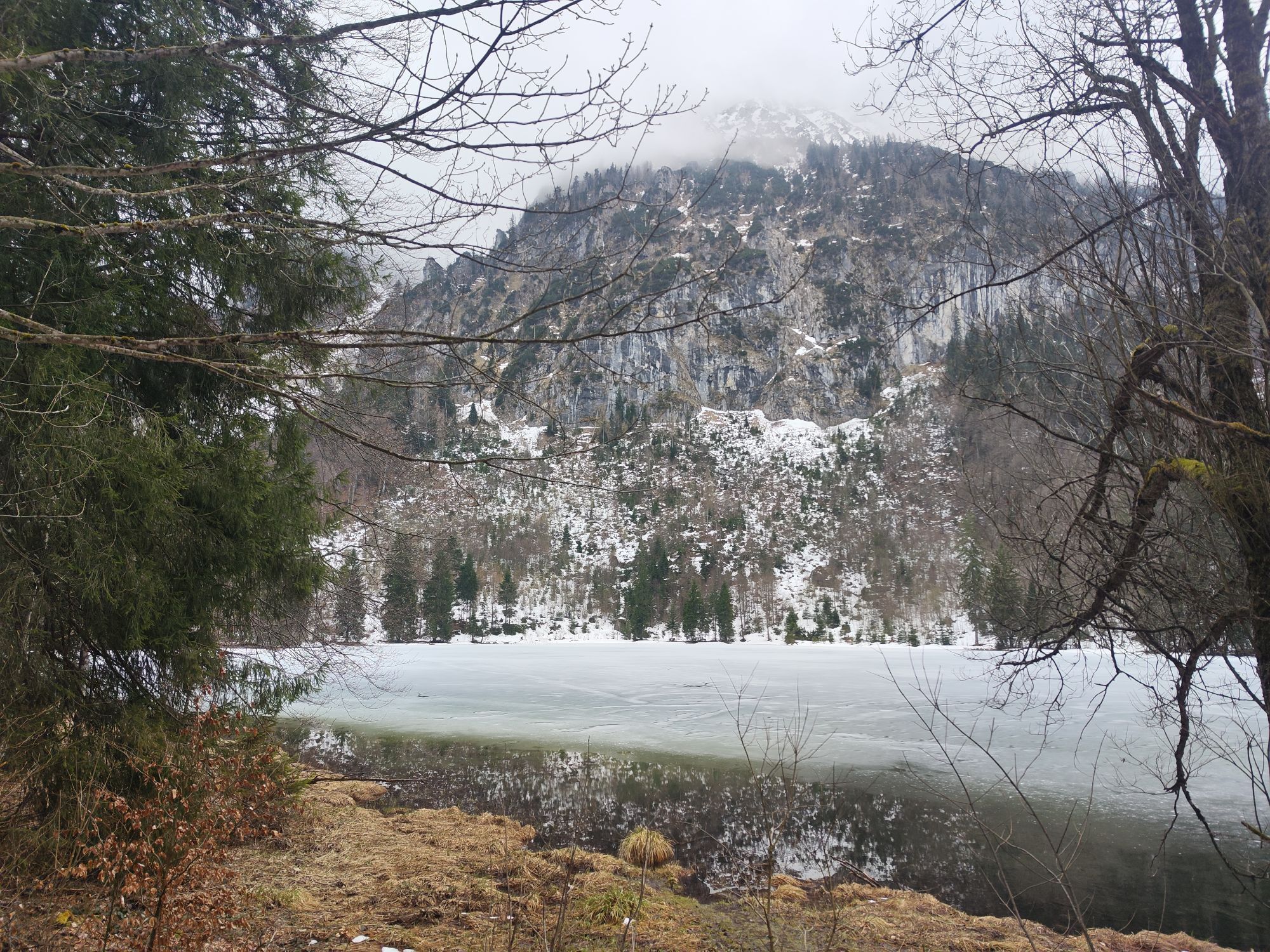
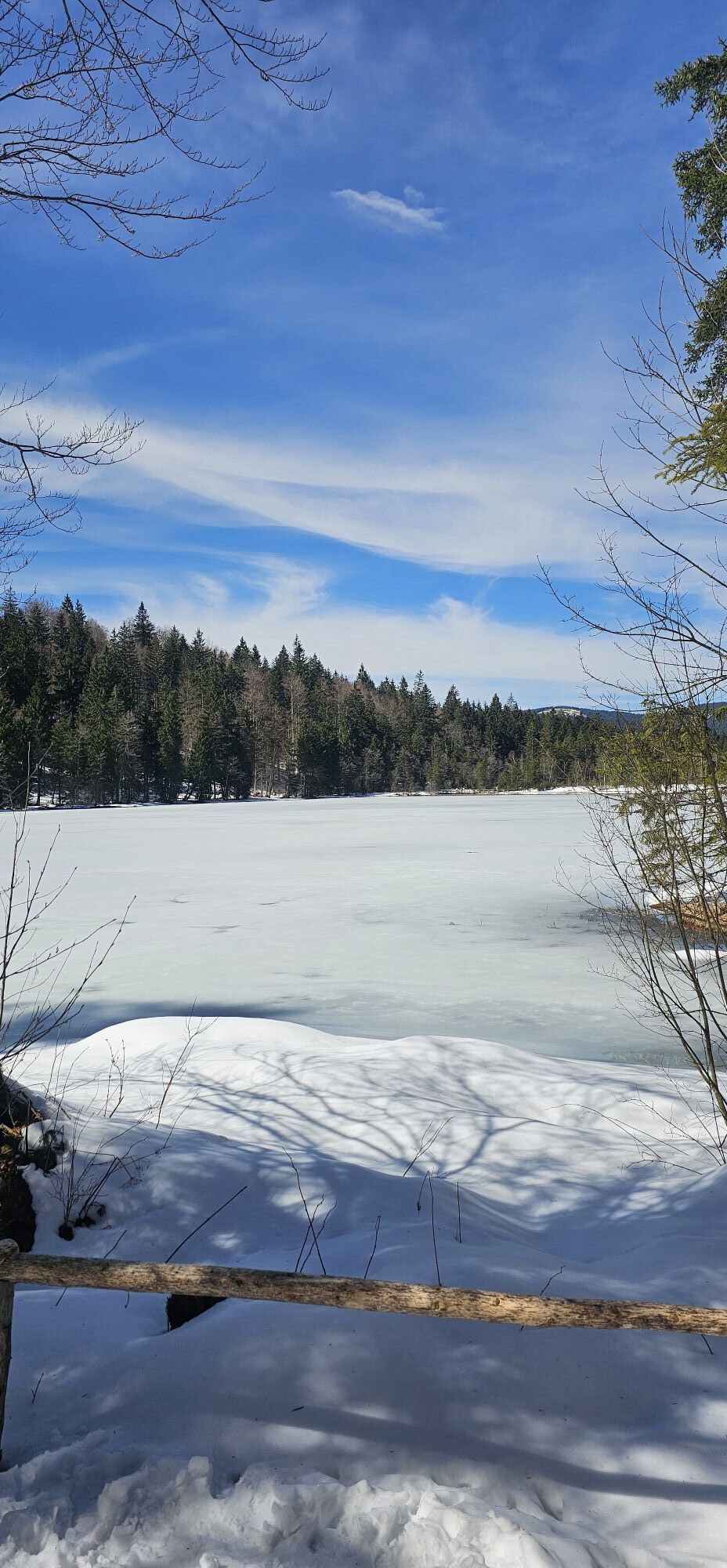
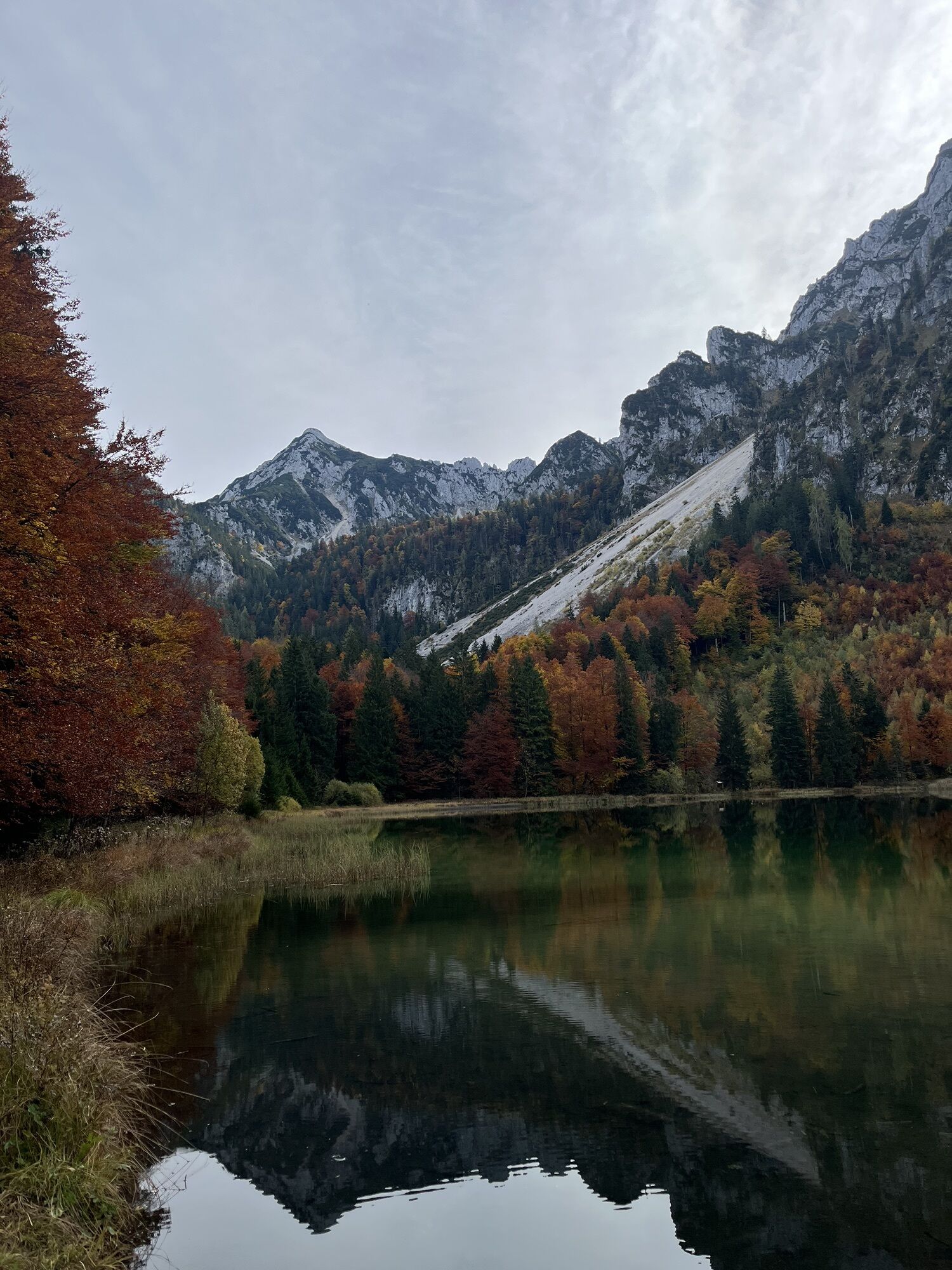
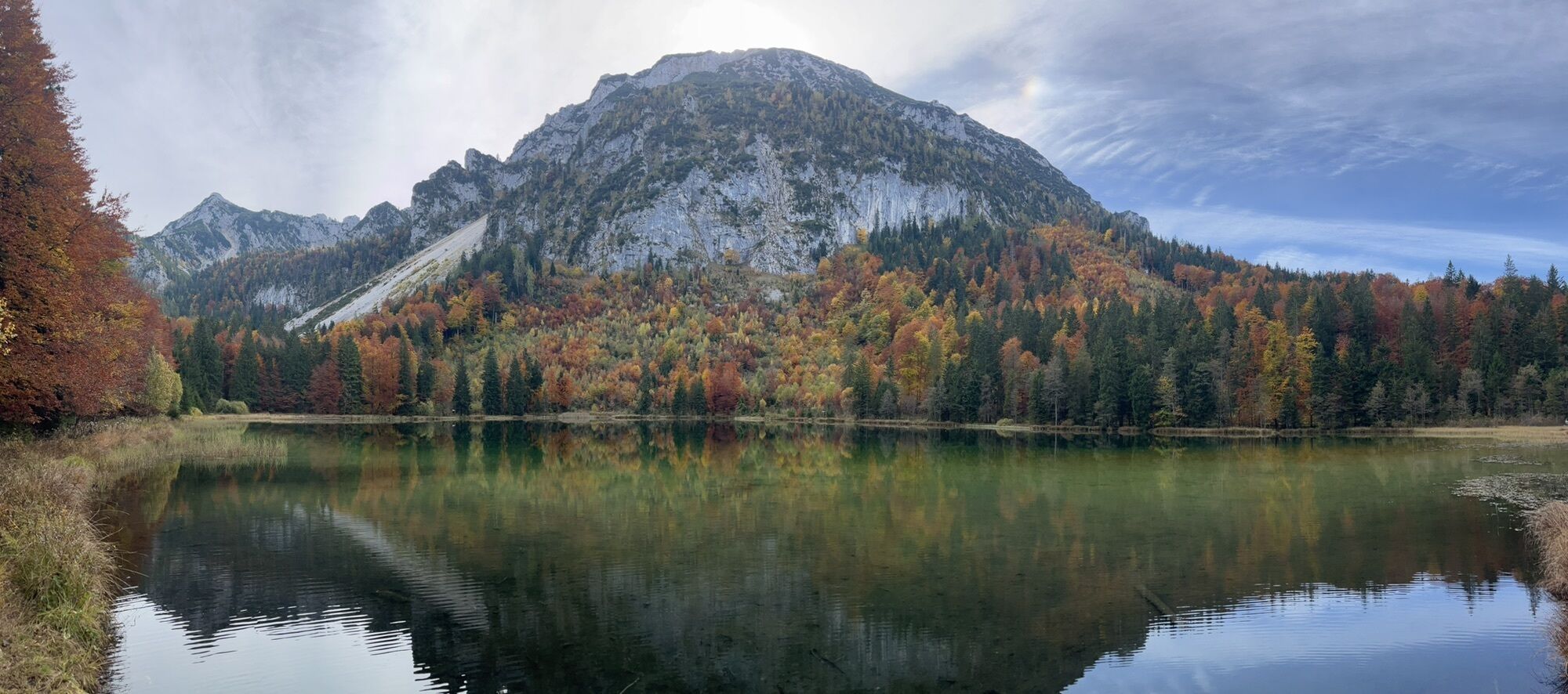
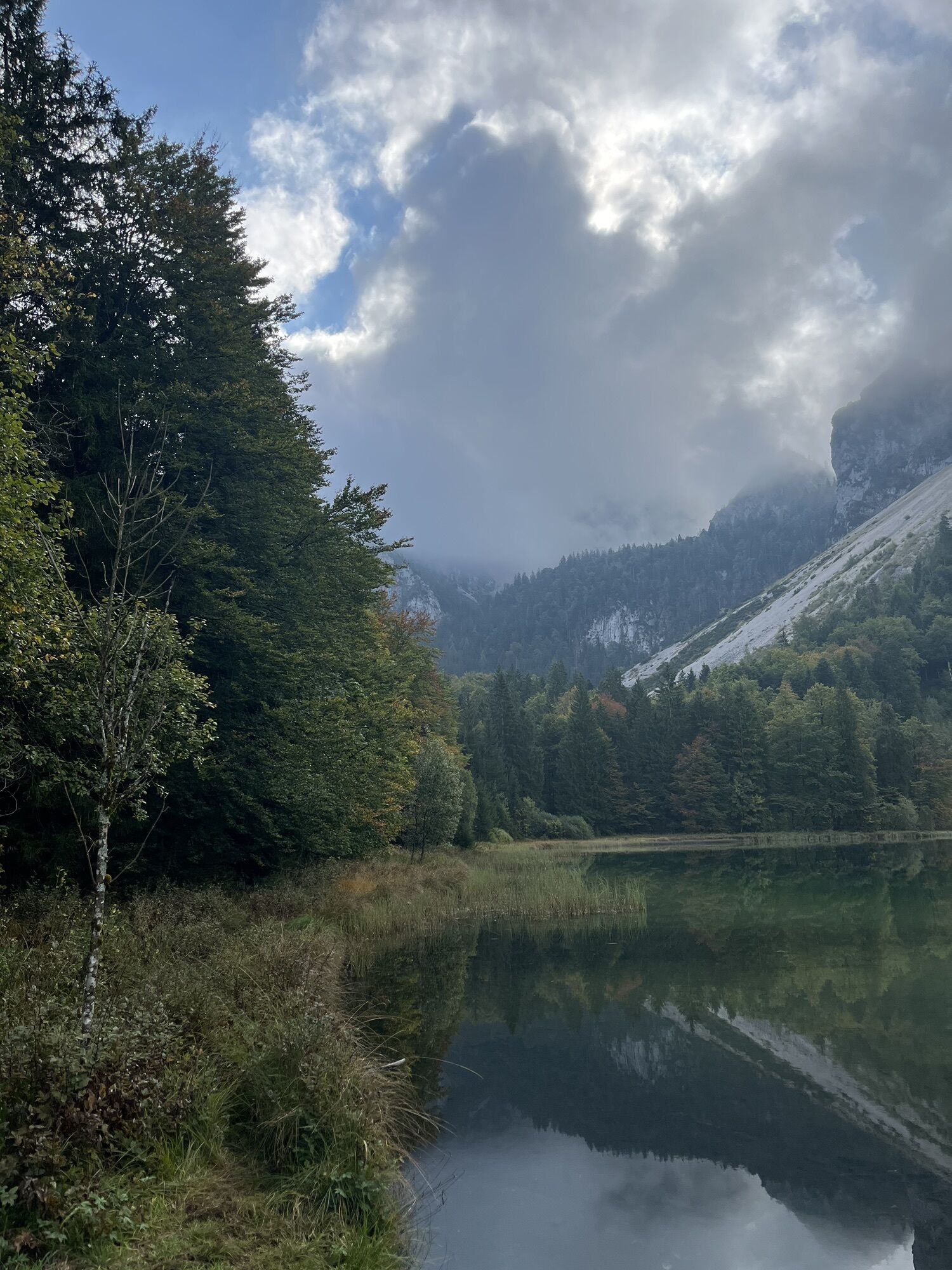
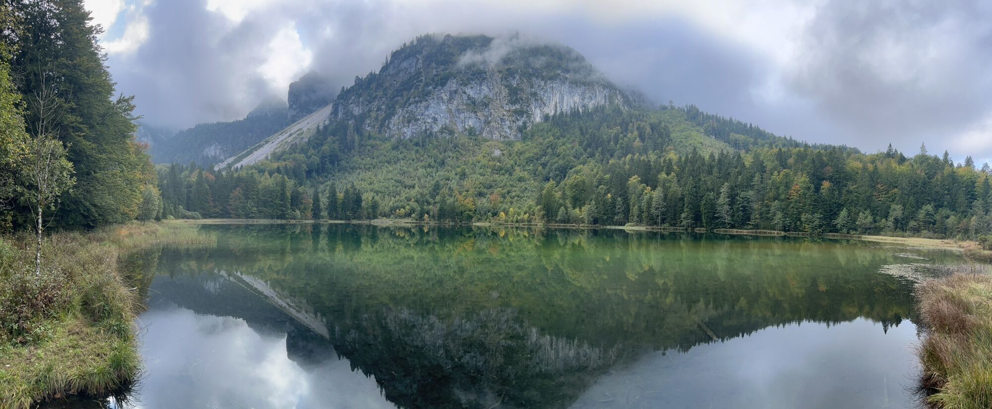
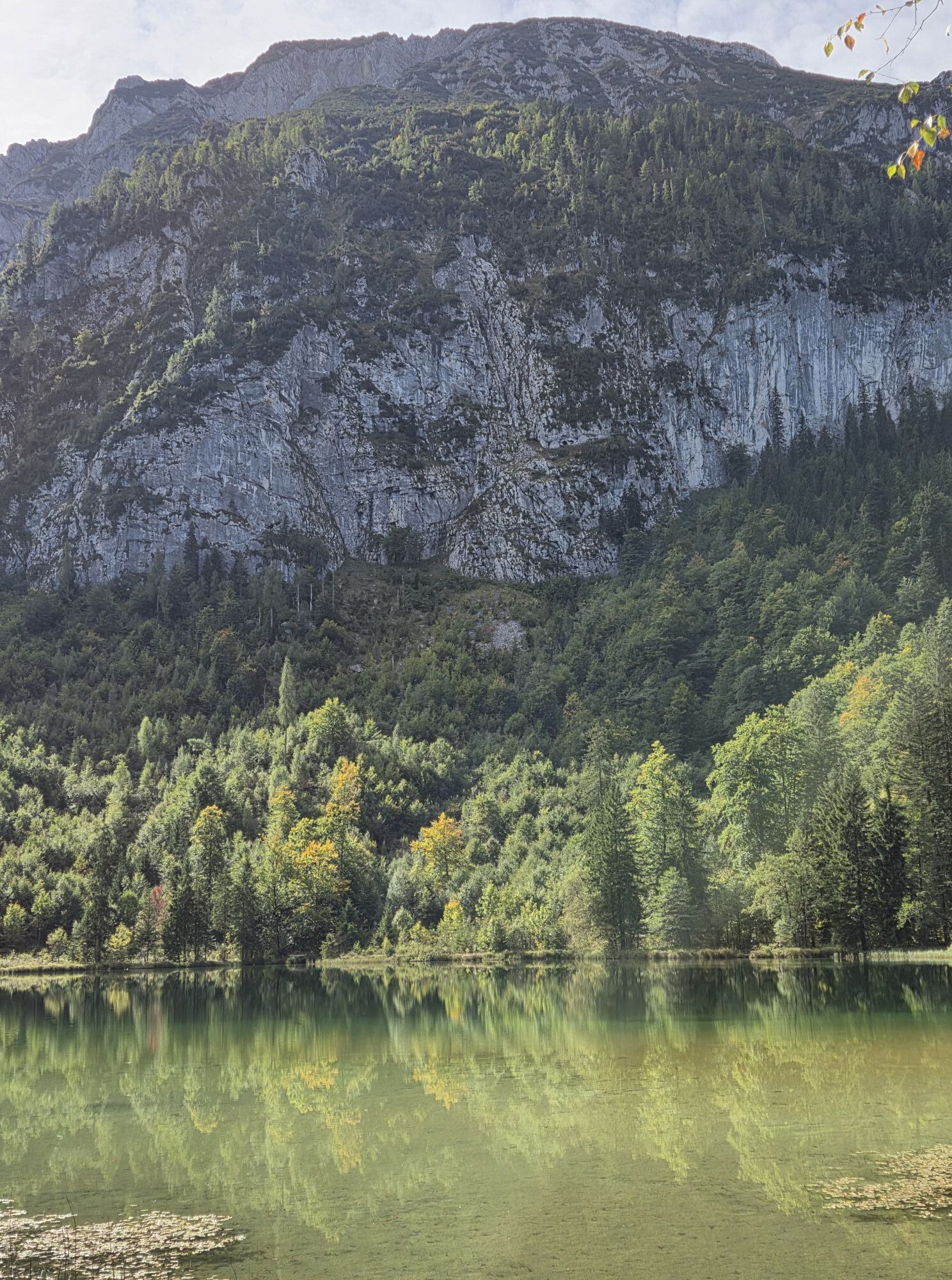
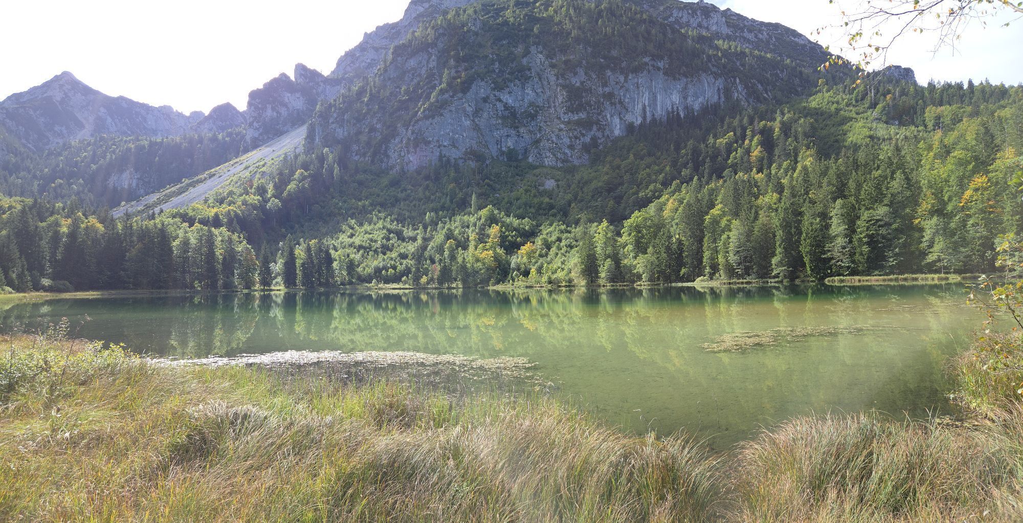
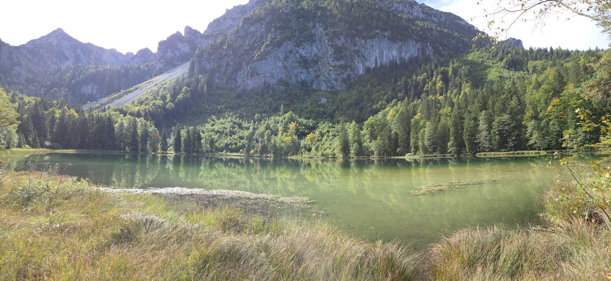
Tip: Stay at the Frillensee, the coldest lake in Germany at this altitude, and read the history of Inzell speed skating.
Special feature: On this challenging mountain tour, you cross 3 peaks and the magnificent mountain panorama rewards you for the effort.
Refreshments: Gasthof Adlgaß, Reichenhaller House
Tip: Stay at the Frillensee, the coldest lake in Germany at this altitude, and read the history of Inzell speed skating.
Trasa
Adlgaß
(807 m)
Rozliczenie
0,1 km
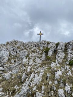
Staufenkapelle
(1 747 m)
Miejsce kultu
6,7 km
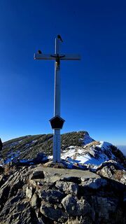
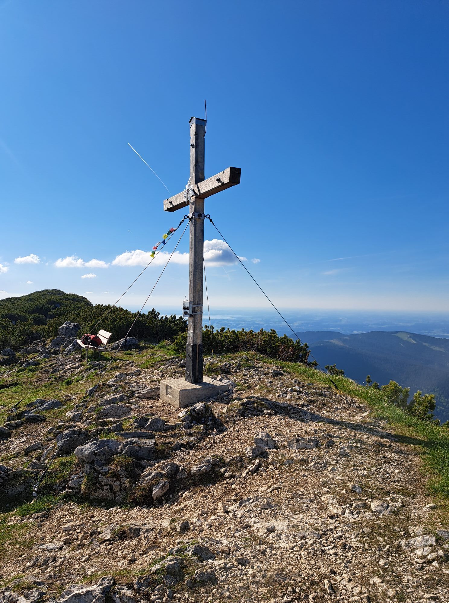
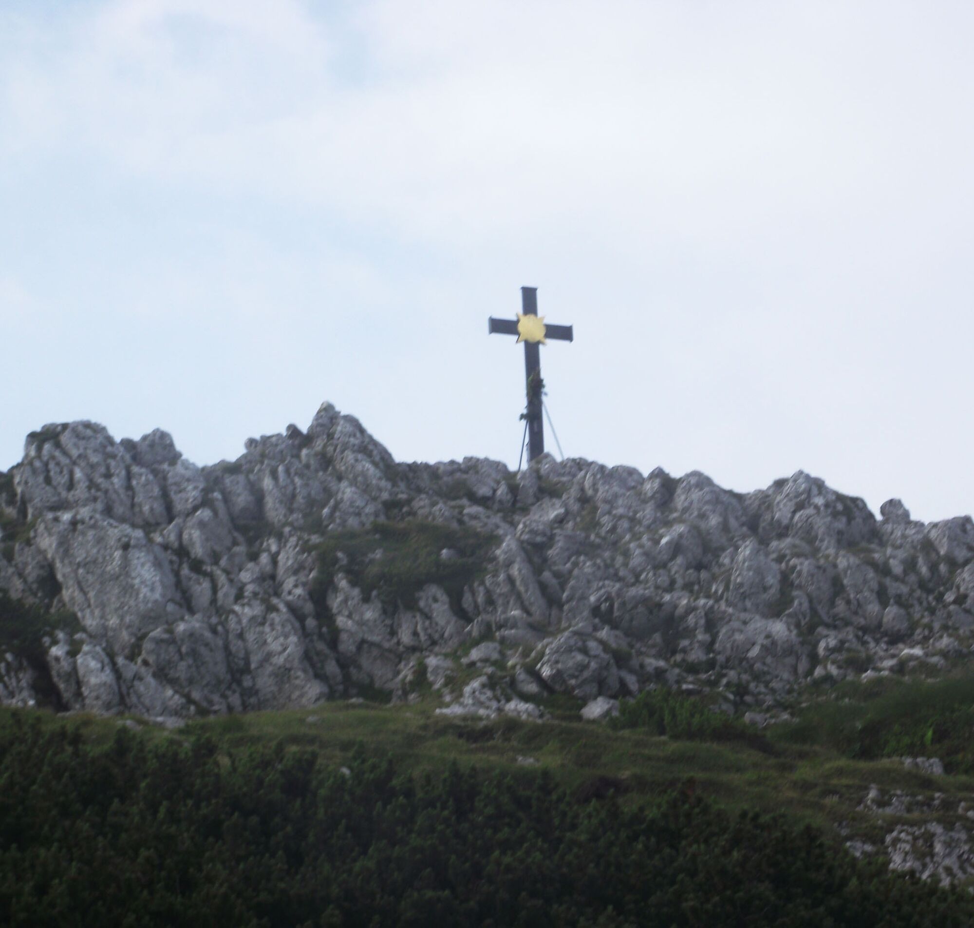
Hochstaufen
(1 771 m)
Szczyt
6,8 km
Hendelbergskopf
(1 613 m)
Szczyt
8,1 km
Zenokopf
(1 756 m)
Szczyt
9,6 km
Zwiesel
(1 782 m)
Szczyt
9,7 km
Gamsknogel
(1 750 m)
Szczyt
10,8 km
Trasa
Hochstaufen Traverse
Wędrówka
17,18
km
Forsthaus Adlgaß
(805 m)
Restauracja
0,0 km
Adlgaß
(807 m)
Rozliczenie
0,1 km
Alles im Fluss
(889 m)
Plac zabaw
1,0 km
Staufenkapelle
(1 747 m)
Miejsce kultu
6,7 km
Hochstaufen
(1 771 m)
Szczyt
6,8 km
Mittelstaufen
(1 657 m)
Szczyt
7,6 km
Hendelbergskopf
(1 613 m)
Szczyt
8,1 km
Roßkarscharte
(1 450 m)
Siodełko górskie
8,6 km
Zenokopf
(1 756 m)
Szczyt
9,6 km
Zwiesel
(1 782 m)
Szczyt
9,7 km
Gamsknogel
(1 750 m)
Szczyt
10,8 km
Adlgaß
(807 m)
Rozliczenie
16,8 km
Forsthaus Adlgaß
(805 m)
Restauracja
17,1 km
Autor
Dostarczone przez Inzeller Touristik GmbH
Wycieczkę Hochstaufen Traverse zapewnia outdooractive.com.

Dodatkowe informacje i wskazówki
Dodatkowe informacje
Inzell
Wyceny
1 Komentarz
Hans-dieter ehrgott
08. sie. 2025
Abstieg vom Hendelbergskopf
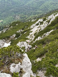
Man sollte bei der Tourbeschreibung den ausgesetzten, seilgesicherten Abstieg vom Hendelbergskopf explizit erwähnen. Ohne Klettersteigset ist das über den Grat gespannte dünne Stahlseil nur bedingt eine Sicherheit. Die Kletterei der Stufe 1 über ungefähr 20 Meter ist nicht schwierig aber ein Fehler beim Klettern ohne Seil wird kaum verziehen, weil es beidseitig im Fels steil bergab geht.
Popularne wycieczki w okolicy
-
4,3
Staufen-Bergtour
średniWędrówka 14,1 km -
3,3
From Heutal to Sonntagshorn in the Salzburger Saalachtal
średniWędrówka 11,7 km -
4,5
Unternberg
światłoWędrówka 9,20 km -
4,0
From Latschenwirt over Tannenwinkel to Wolfschwang
światłoWędrówka 5,88 km -
3,6
Rauschberg Rundwanderung über Sackgrabensteig
światłoWędrówka 18 km -
4,6
Untersberg Bahn - Salzburger Hochthron - Berchstendgadener Hochthron
średniWędrówka 11,2 km -
2,8
Almerlebnisweg Ramsau
Wędrówka 11,8 km -
4,9
Dötzenkopf Rundweg
średniWędrówka 6,73 km -
4,4
Hochstaufen
ciężkiWędrówka 7,59 km -
4,4
unternberg Ruhpolding, Bayern
średniWędrówka zimą 3,82 km
Wędrówki i tropienie

Ponad 550.000 propozycji wycieczek, szczegółowe mapy i intuicyjny planer tras sprawiają, że aplikacja jest niezbędna dla wszystkich entuzjastów przyrody.

Nie przegap ofert i inspiracji na następne wakacje
Zapisz się do newslettera
Błąd
Wystąpił błąd. Spróbuj ponownie.
Dziękujemy za rejestrację
Twój adres e-mail została dodana do listy mailingowej.
Wycieczki po całej Europie
Austria
Szwajcaria
Niemcy
Włochy
Słowenię
Francja
Holandia
Belgia
Polska
Liechtenstein
Czechy
Słowacja
Hiszpania
Chorwacja
Bośnia i Hercegowina
Luksemburg
Andorra
Portugalia
Islandia
Wielka Brytania
Irlandia
Grecja
Albania
Macedonia Północna
Malta
Norwegia
Czarnogóra
Mołdawia
Kosowo
Węgry
San Marino
Rumunia
Estonia
Łotwa
Białoruś
Cypr
Litwa
Serbia
Bułgaria
Monako
Dania
Szwecja
Finlandia