



Long-Distance Trail E4+Maximiliansweg Stage Inzell



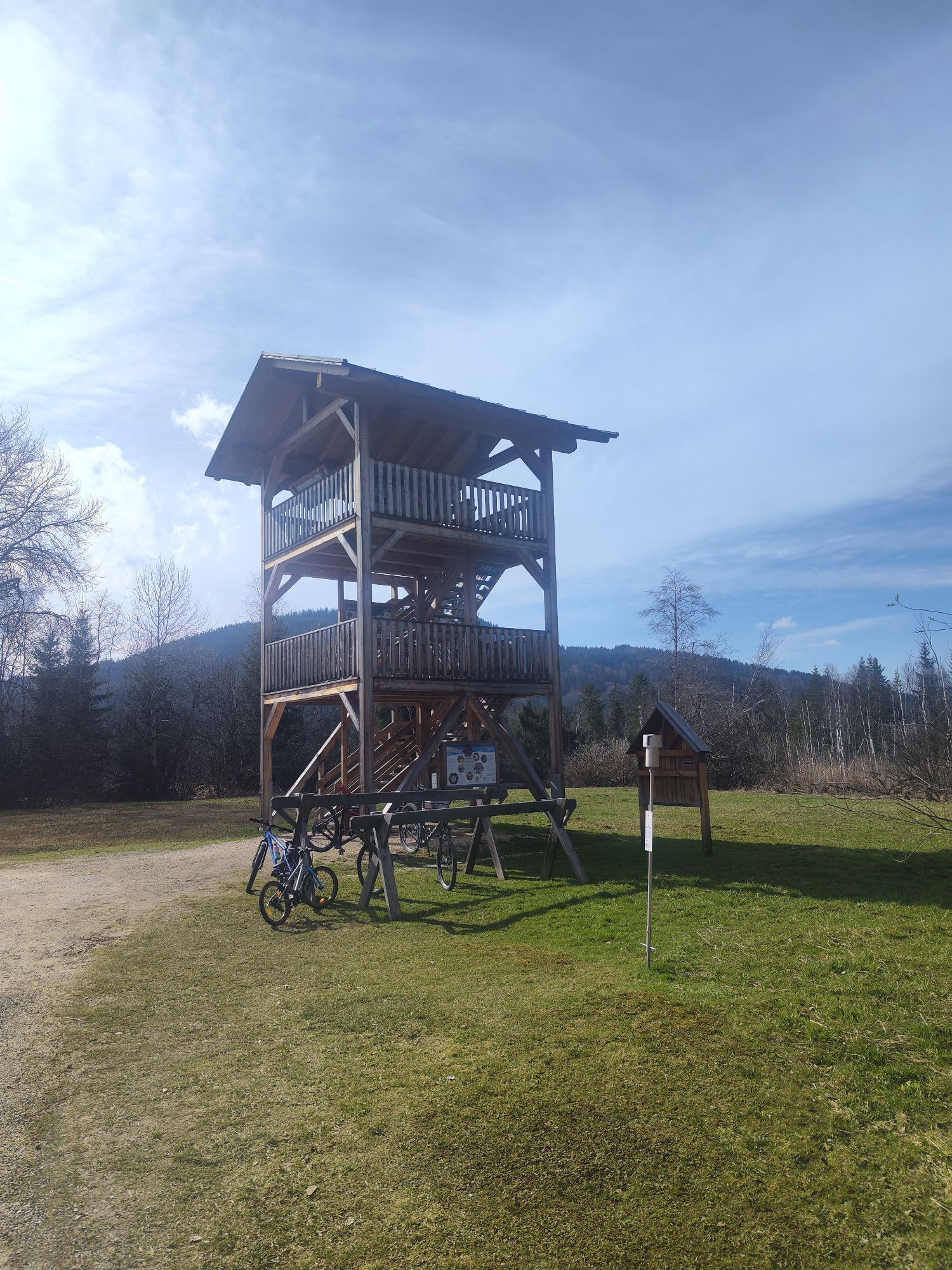
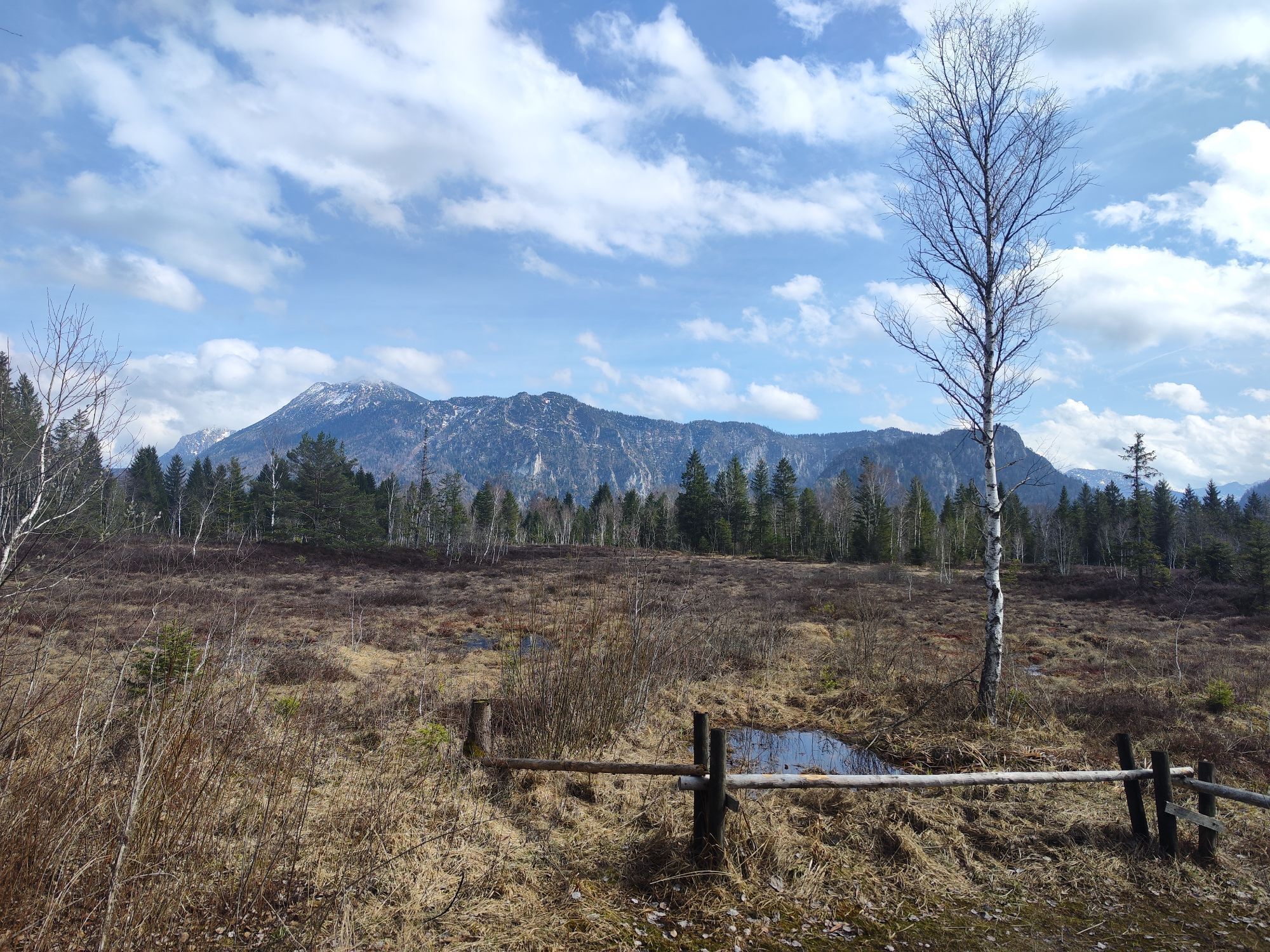
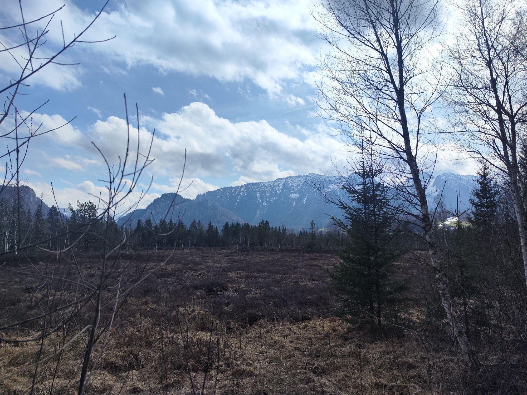
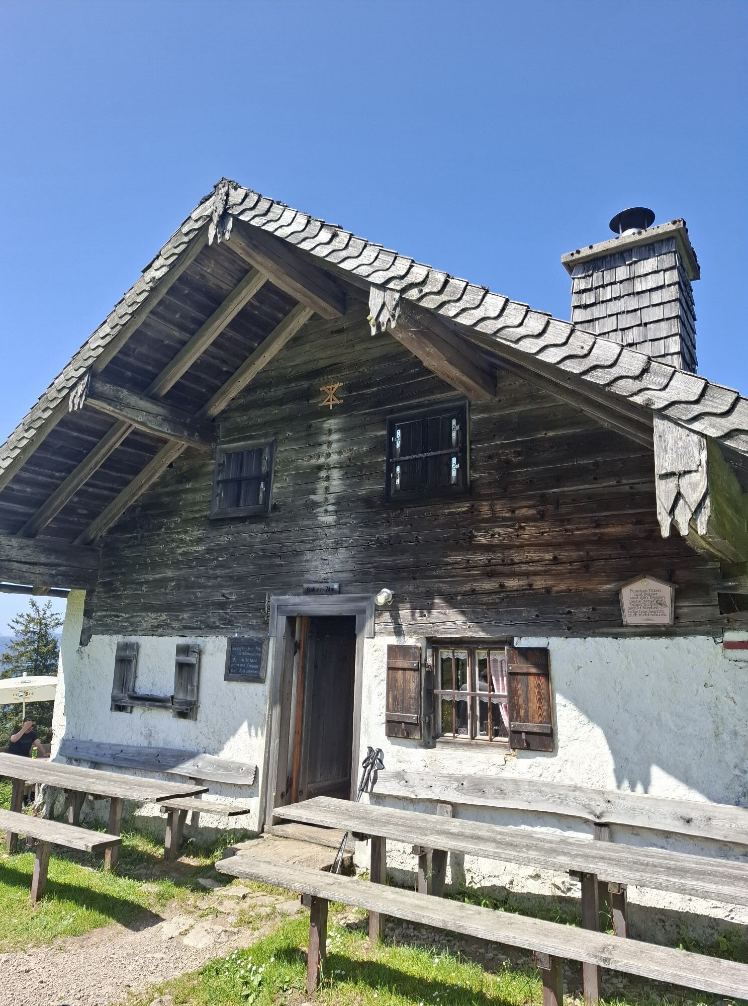


Route: The E4 with Maximiliansweg passes through the municipality of Inzell over a distance of 13.3km on its way through the Chiemgau Alps. From the town center, through the local spa park, you reach the...
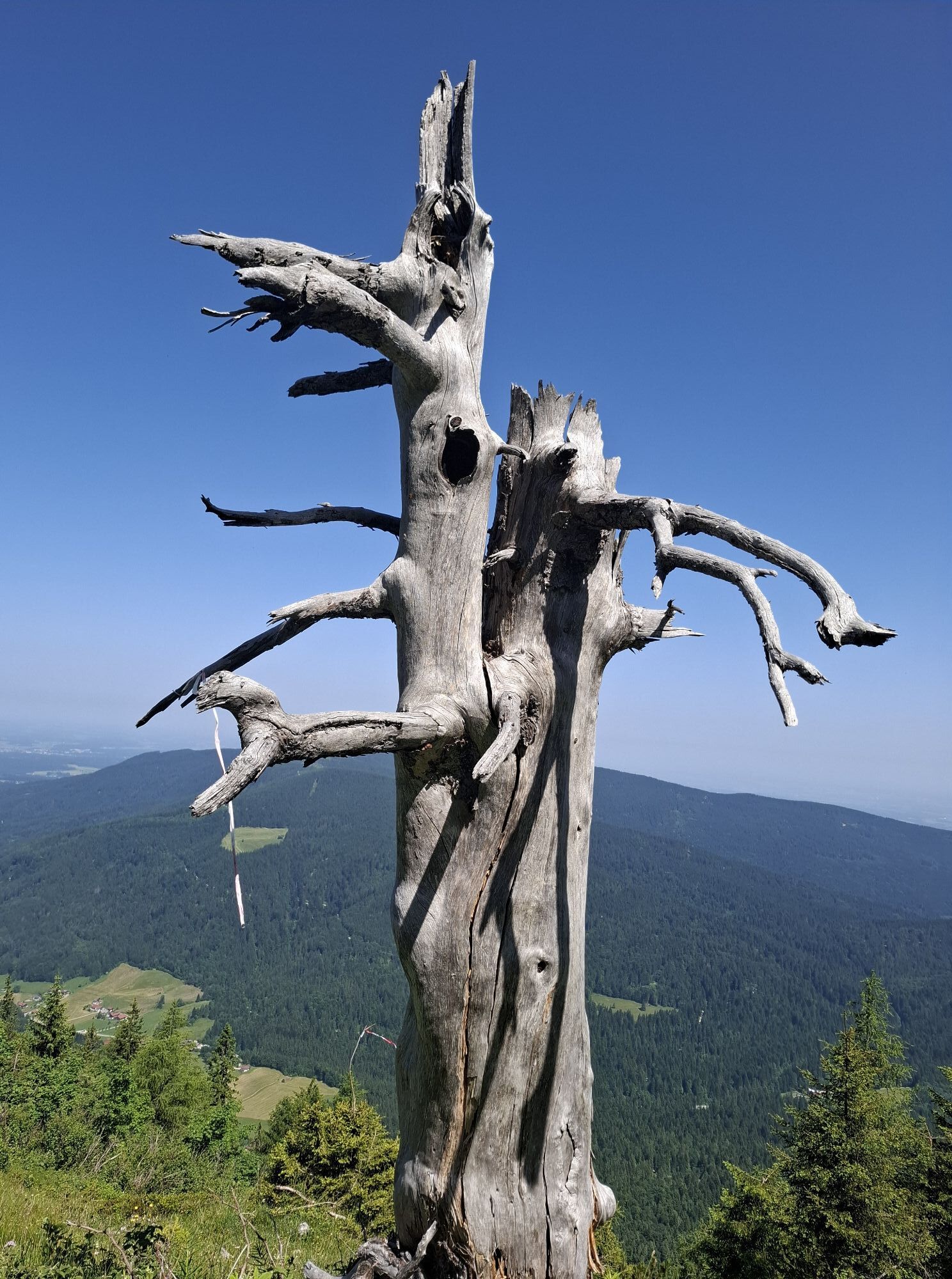
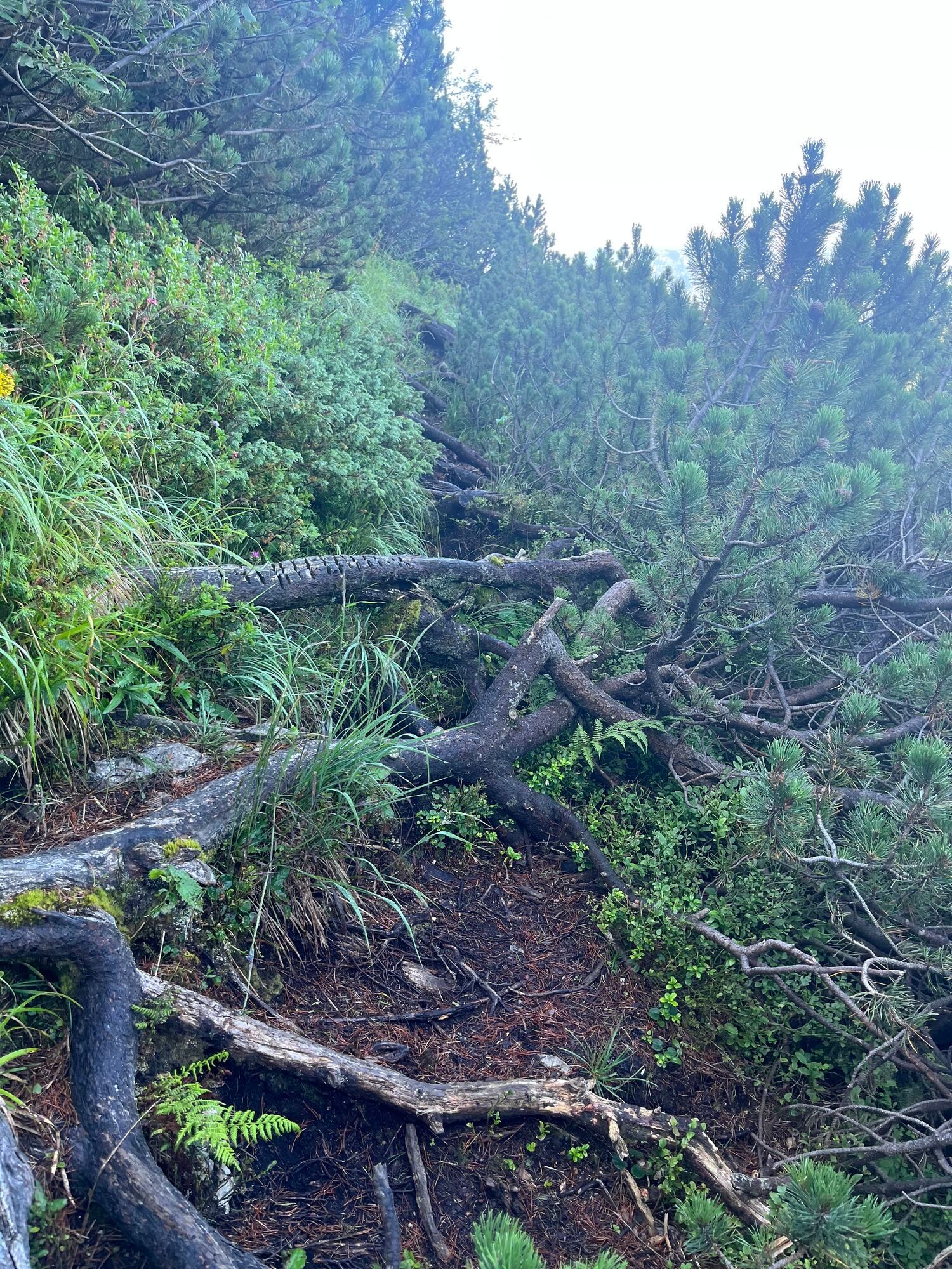
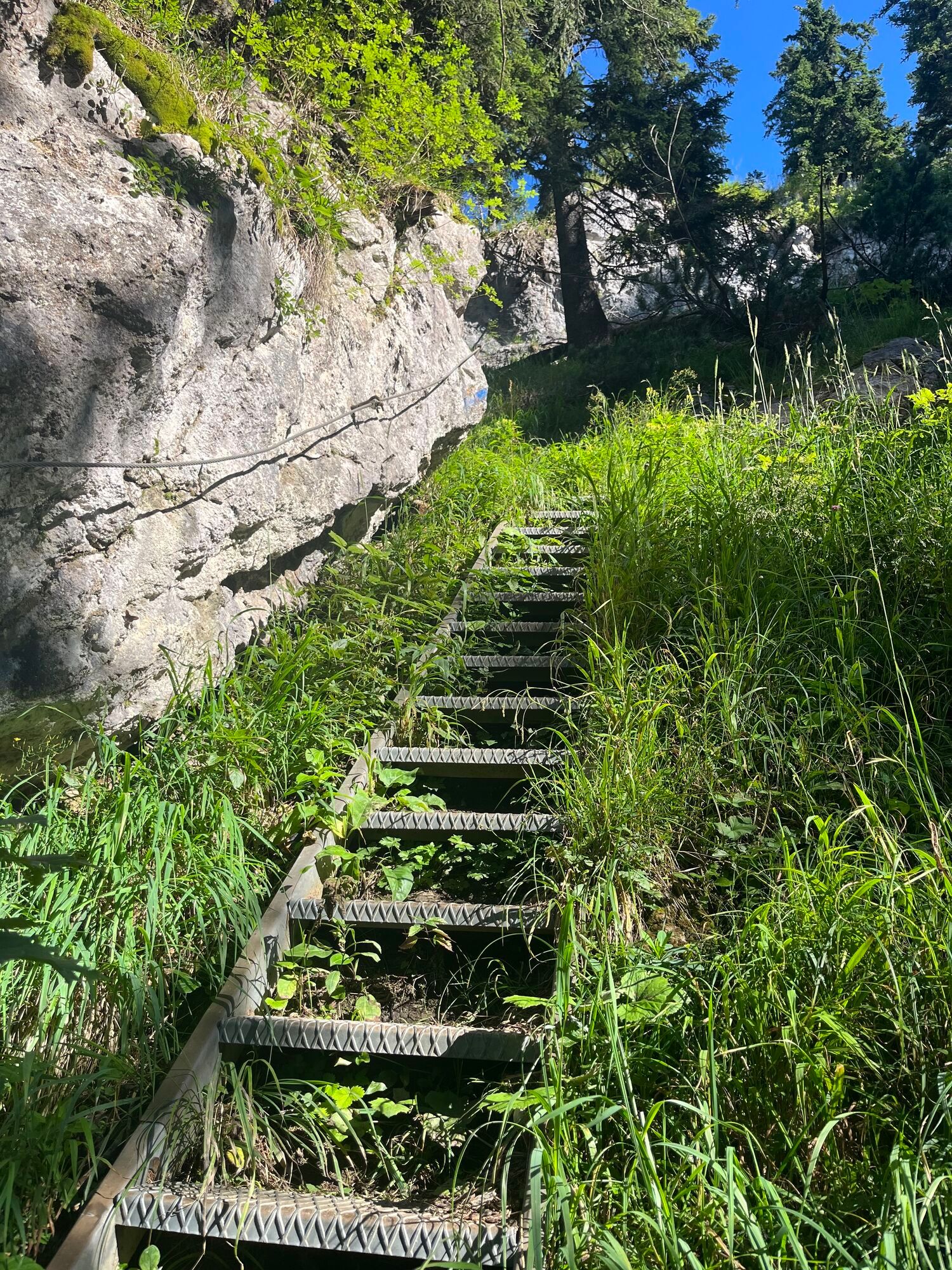
Route: The E4 with Maximiliansweg passes through the municipality of Inzell over a distance of 13.3km on its way through the Chiemgau Alps. From the town center, through the local spa park, you reach the hamlets of Breitmoos and Einsiedl. The previously easy valley hike now changes to a moderate mountain tour. Over well-maintained paths, you reach the highest point of the stage, the Kohleralm at 1,450m. The path continues over Zwieselalm to the Listsee above the large district town of Bad Reichenhall. The hiking trail is continuously marked with the usual Alpine signage and additional logos.



Inzell
Kamery internetowe z trasy

Popularne wycieczki w okolicy
-
4,6
Staufen-Bergtour
ciężkiWędrówka 14,1 km -
4,5
Alpgarten-Rundweg
Wędrówka 2,93 km -
4,0
Rundwanderweg zur Steinernen Agnes
Wędrówka 9 km -
5,0
Sonntagshorn über Hochalm (Unken, Heutalbauer)
średniWędrówka 11,2 km -
4,9
Dötzenkopf Rundweg
średniWędrówka 6,95 km -
4,9
Frillensee round from Adlgaß
Wędrówka 5,82 km -
4,7
Jochberg - Zwiesel
światłoWędrówka 4,12 km -
4,7
Pidinger Klettersteig mit Umweg im Abstieg
ciężkiVia ferrata 15,0 km -
3,5
Zwiesel-Runde
Wędrówka 11,0 km -
4,4
Unternberg
światłoWędrówka 9,20 km
Wędrówki i tropienie


Nie przegap ofert i inspiracji na następne wakacje
Twój adres e-mail została dodana do listy mailingowej.


