







Rotbach – Schwarzen Grat – Rothe Flue
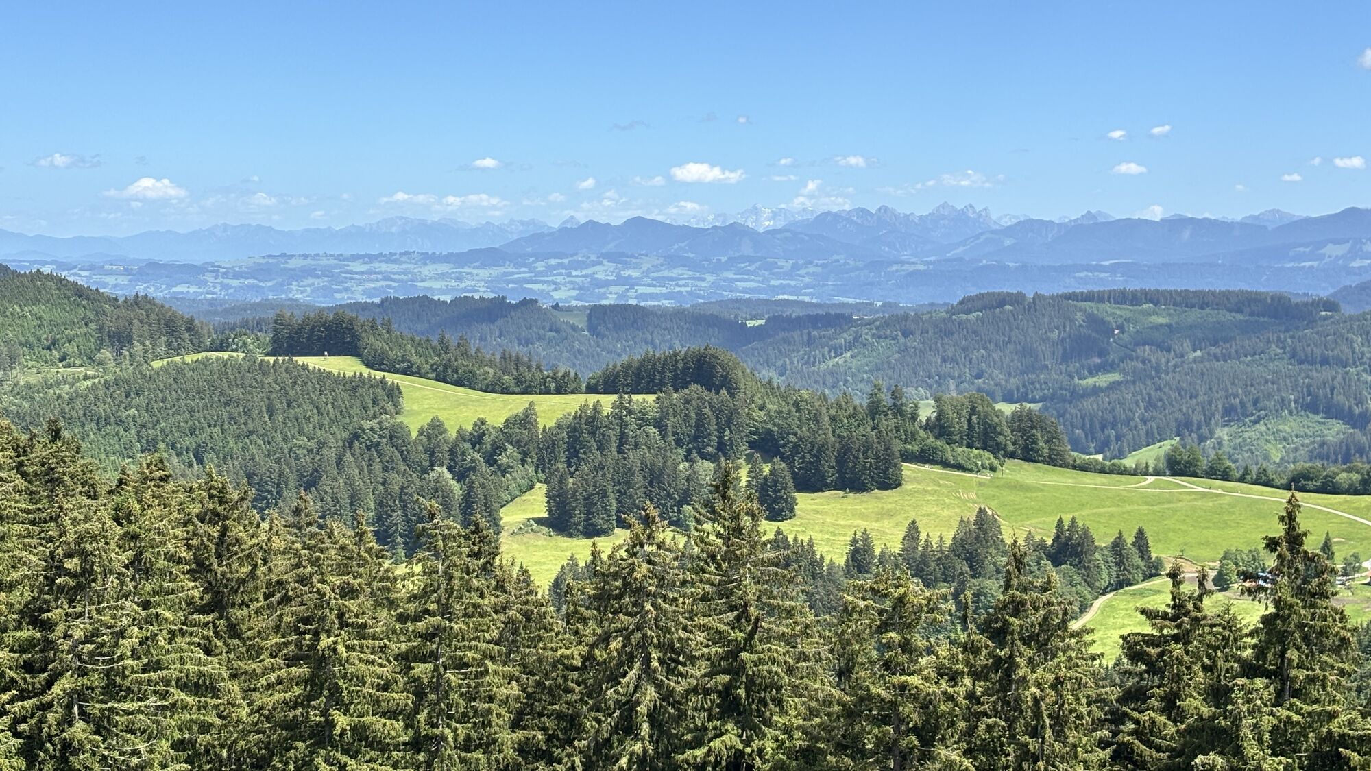
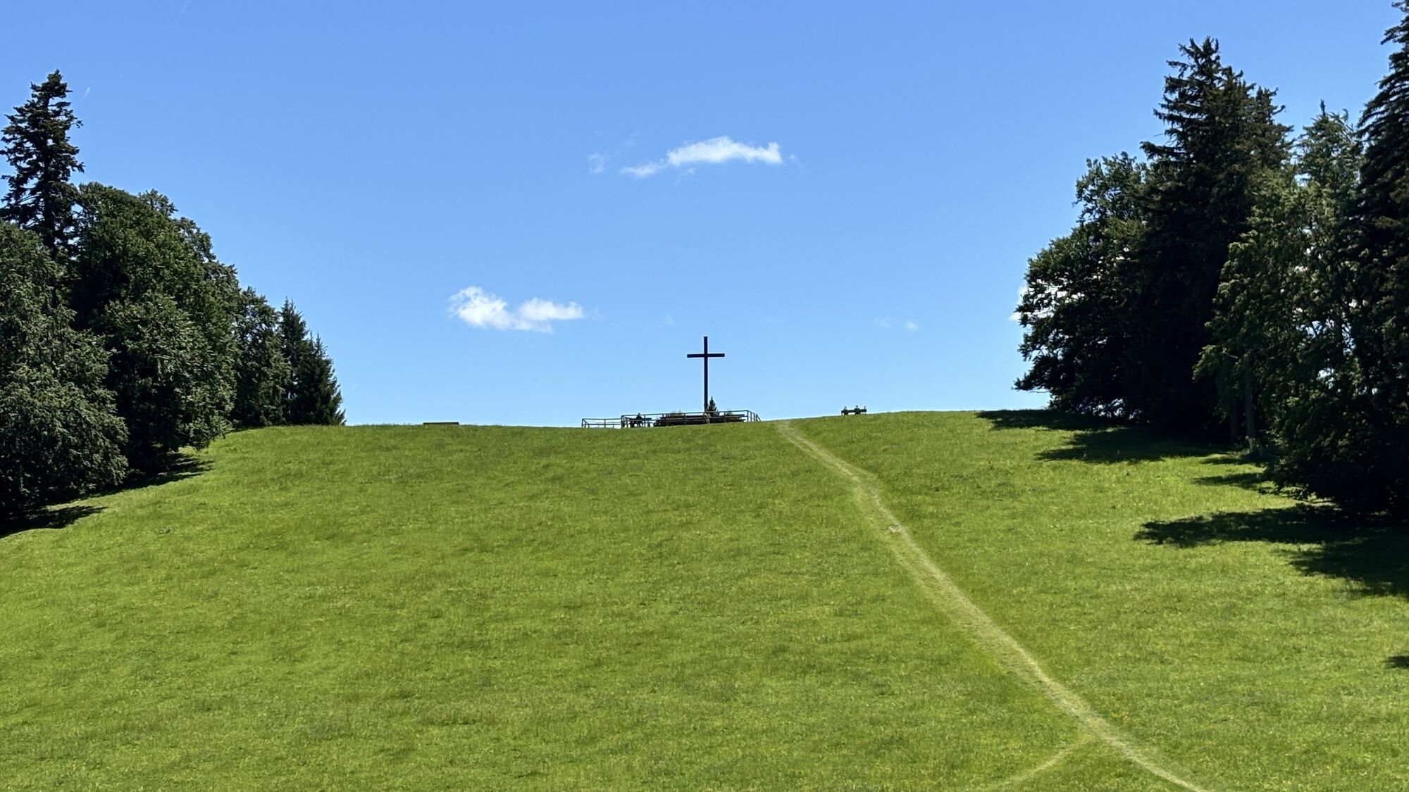
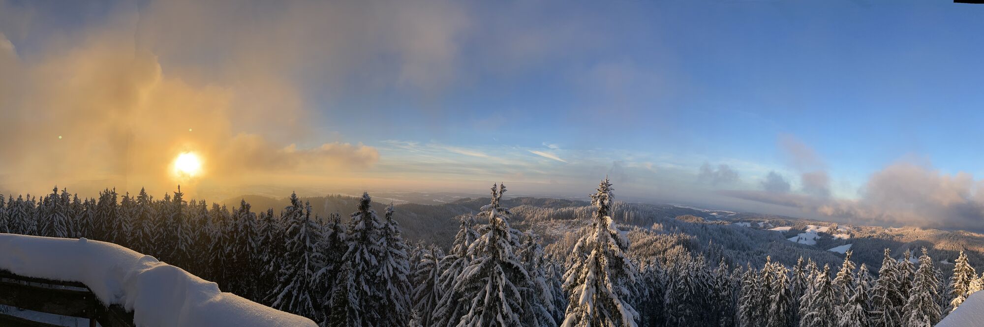
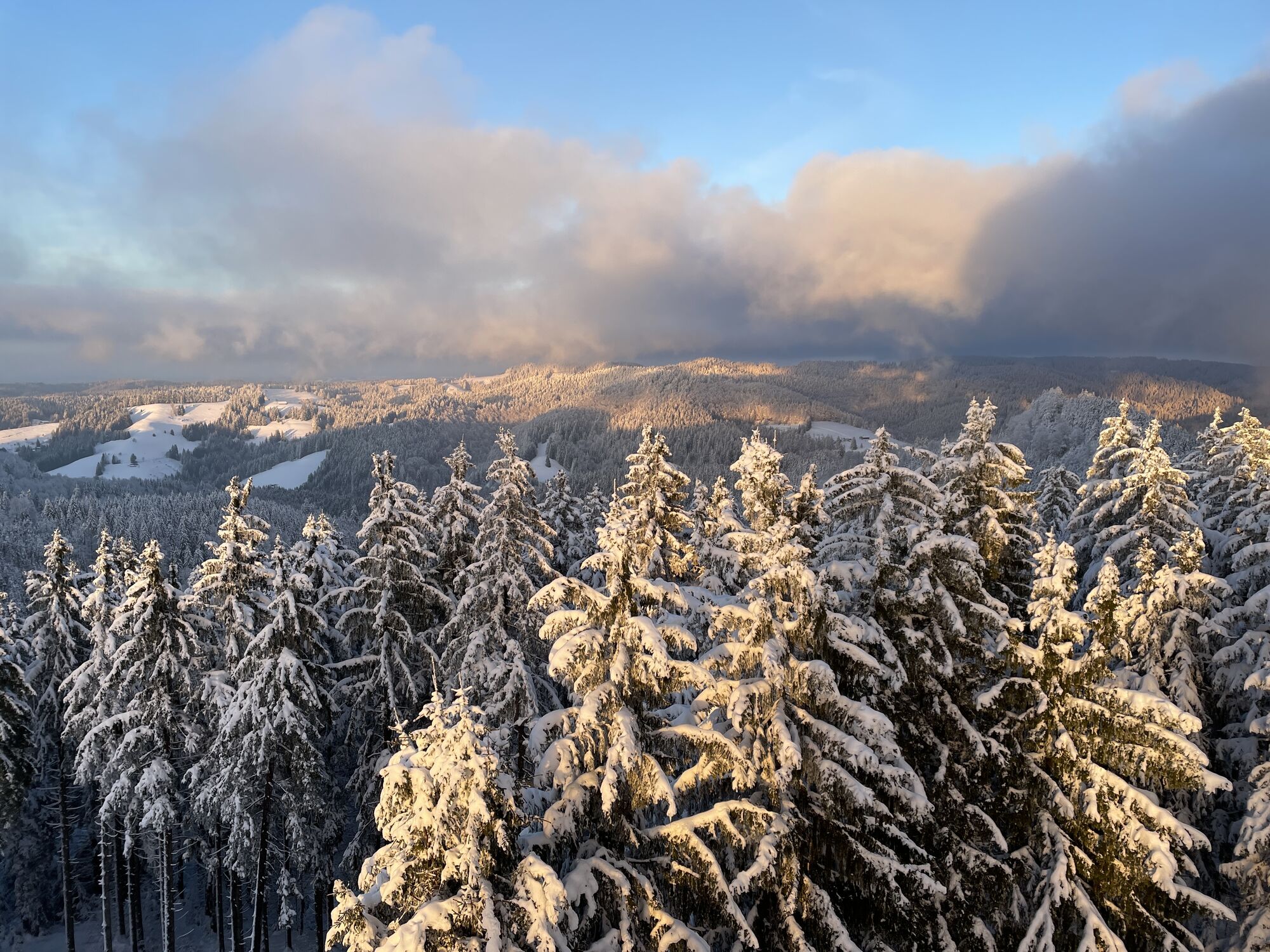
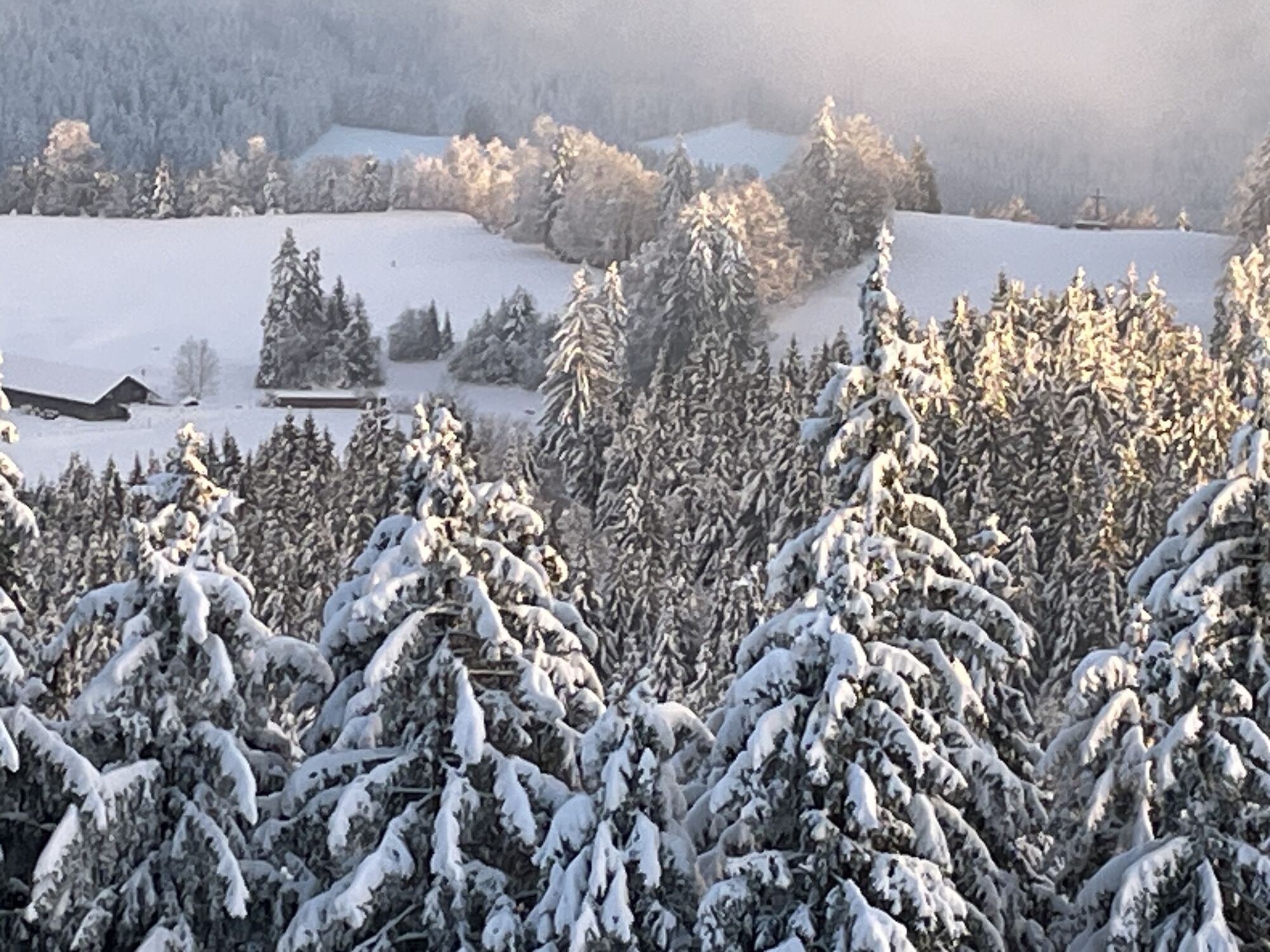
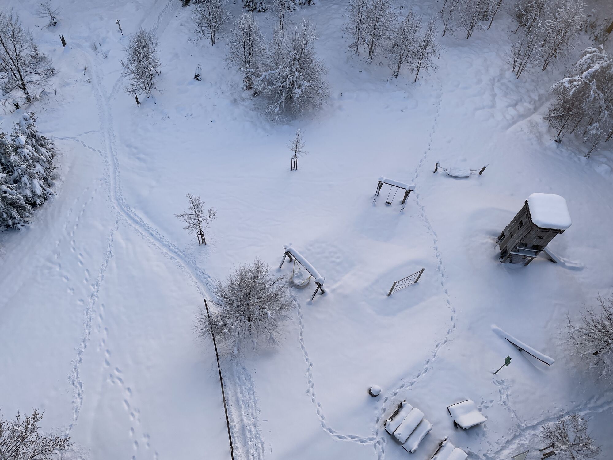
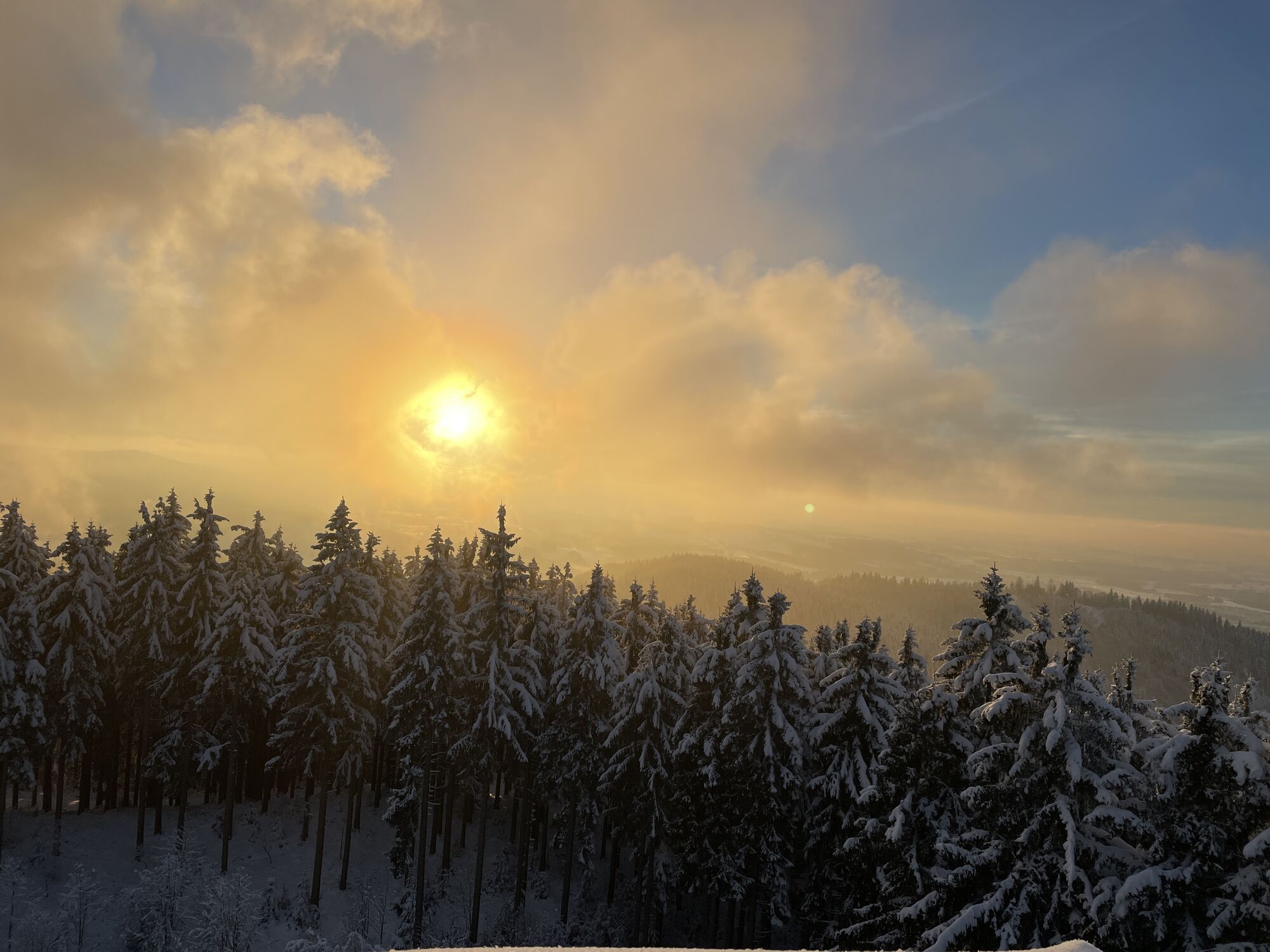
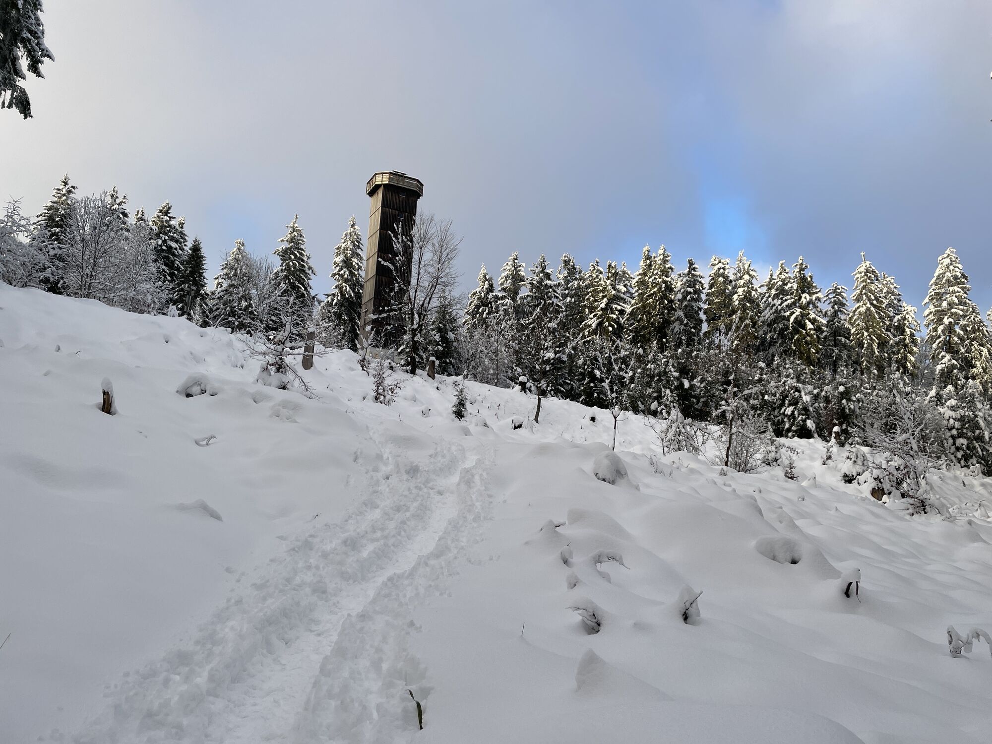
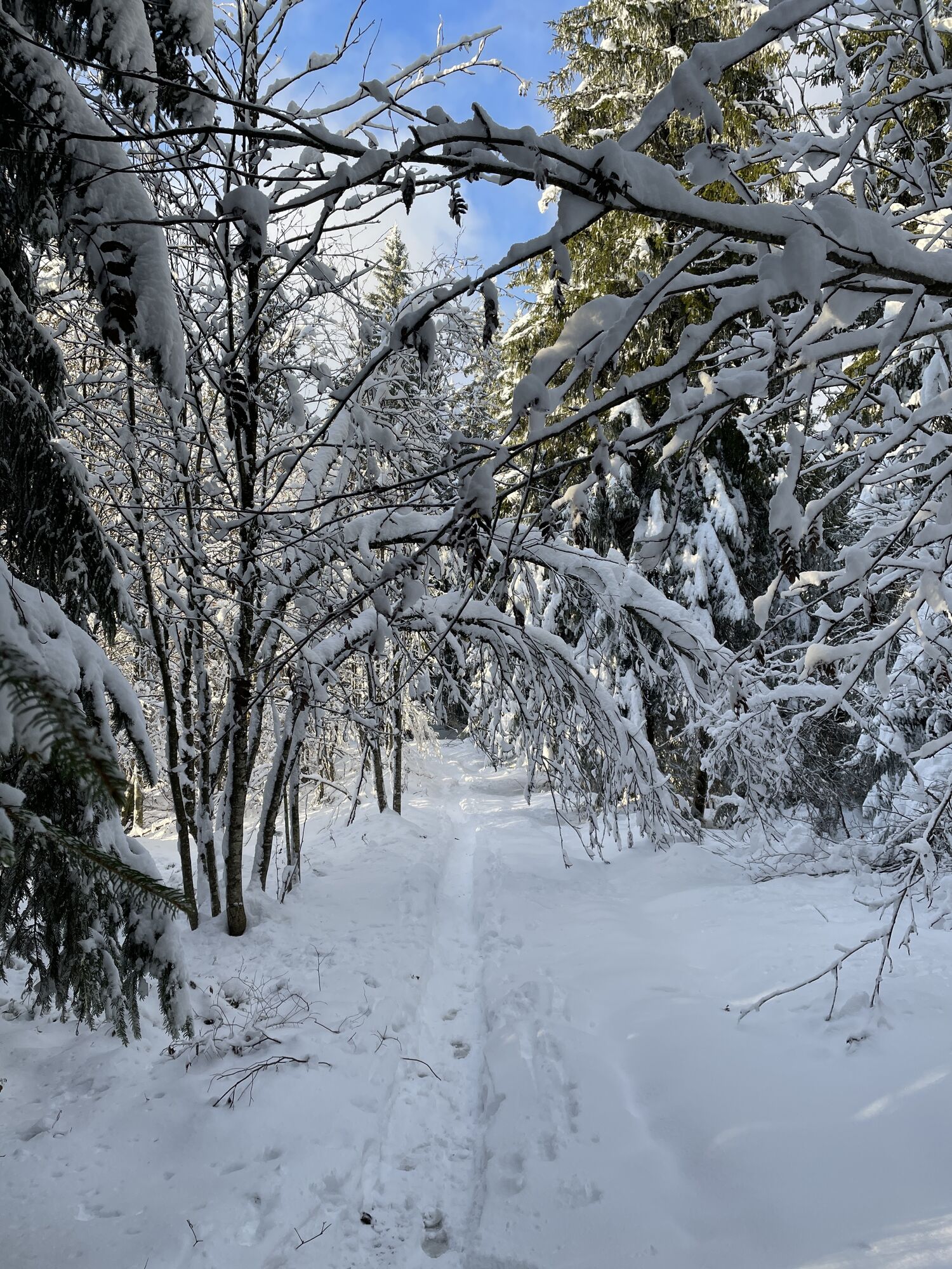
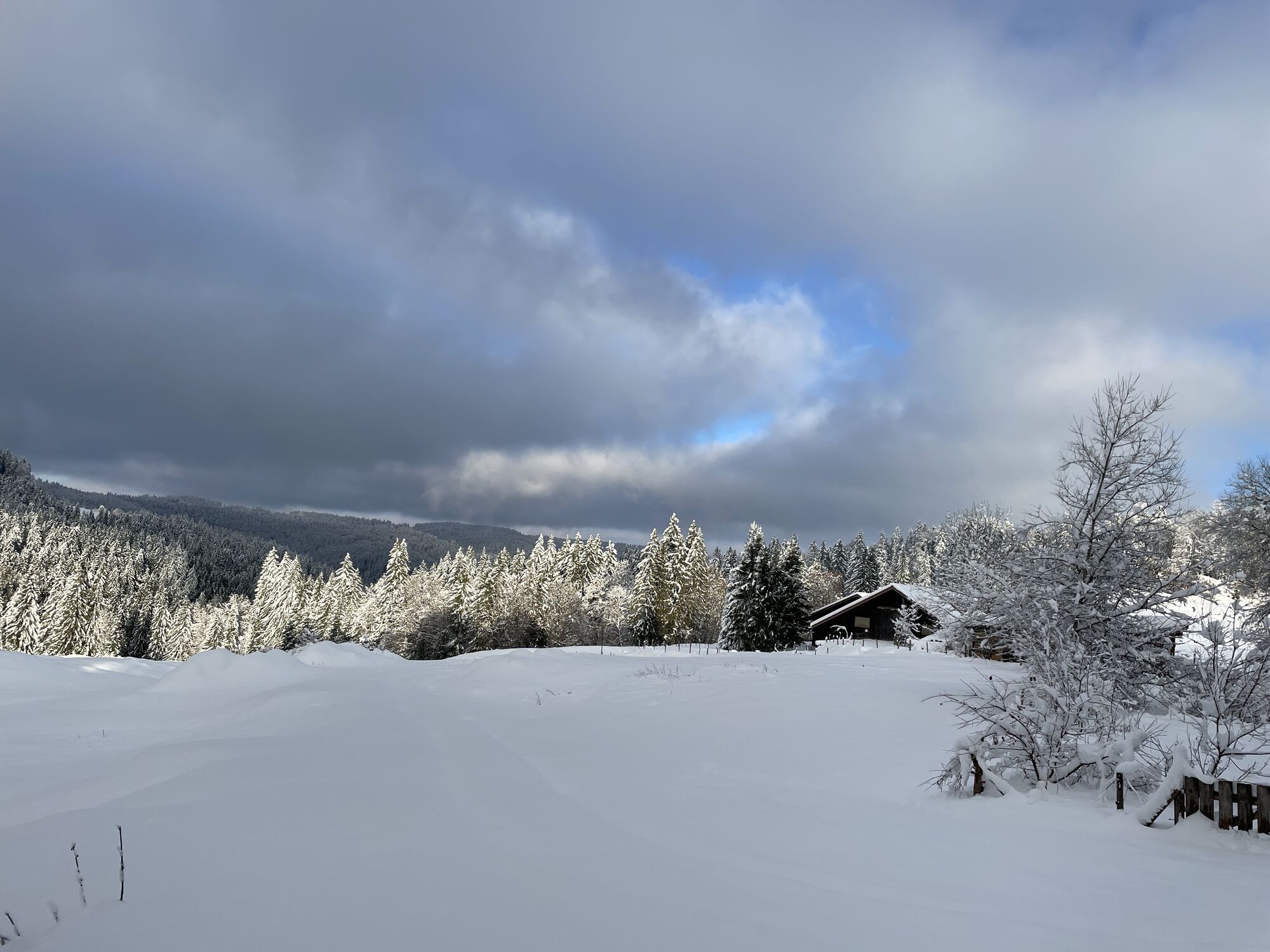
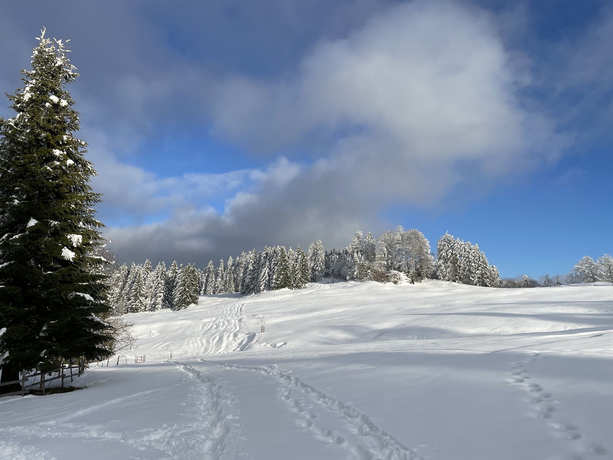
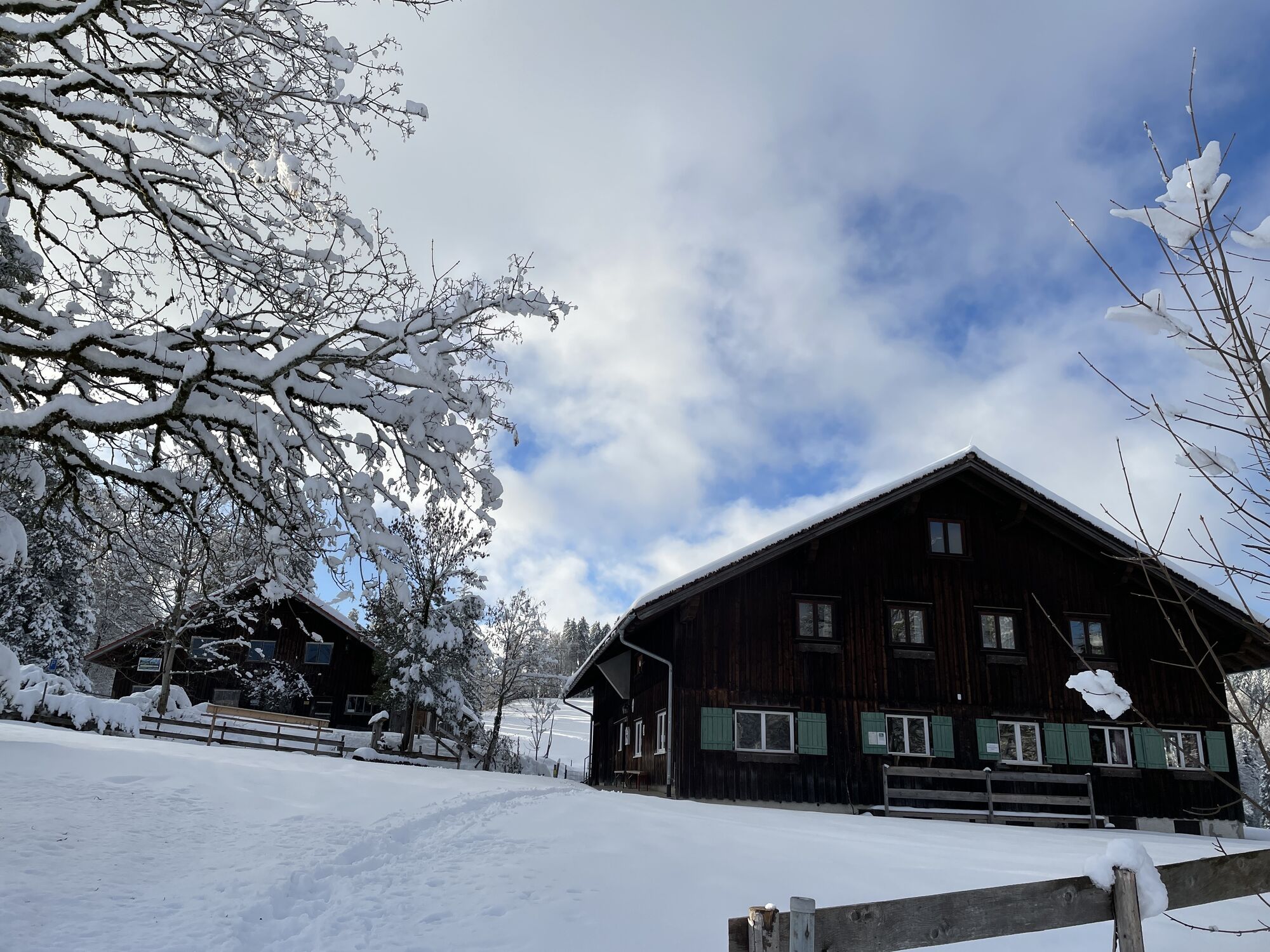
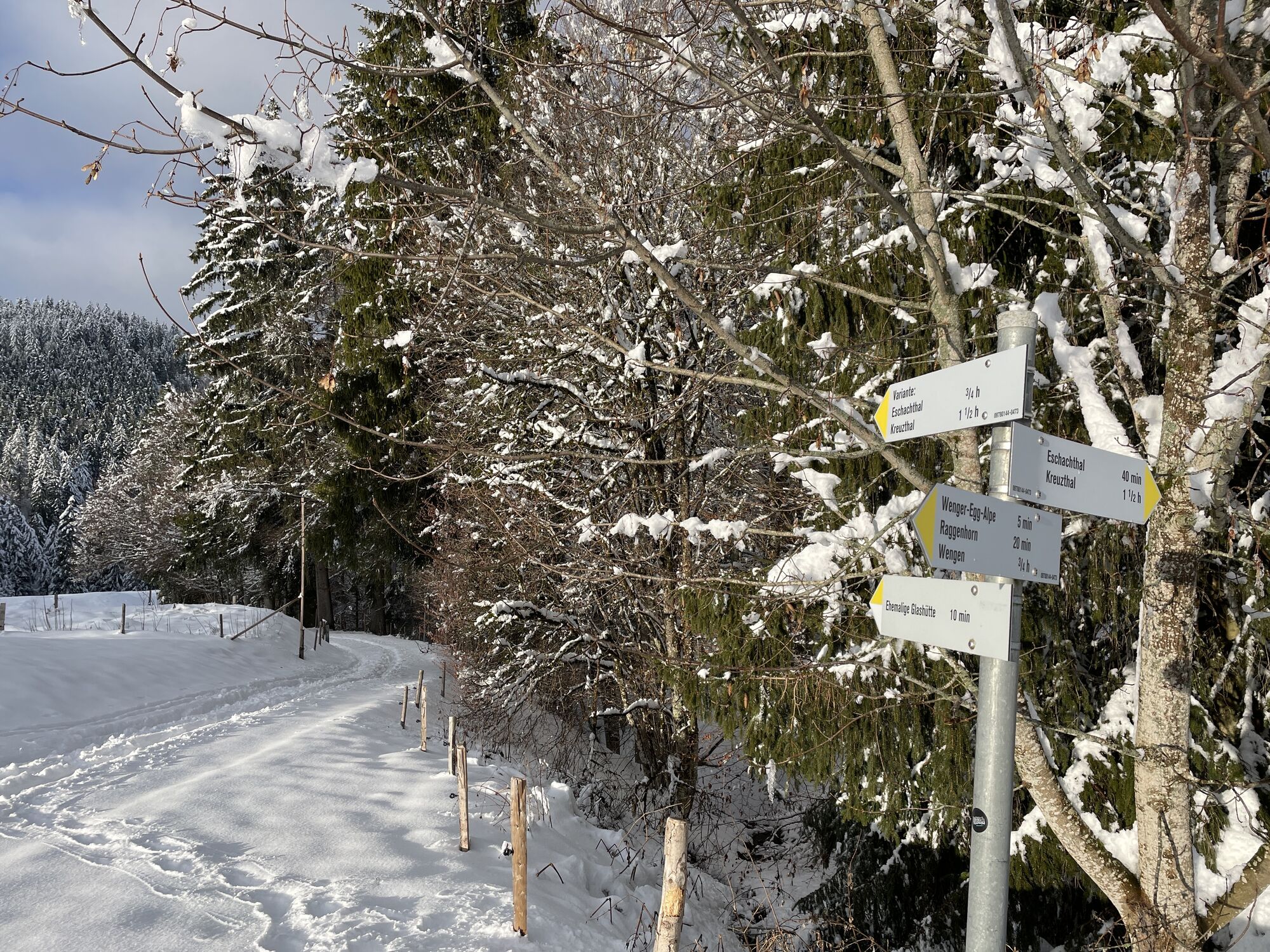
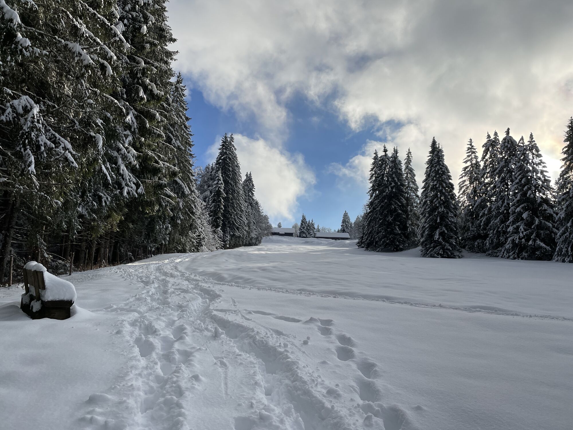
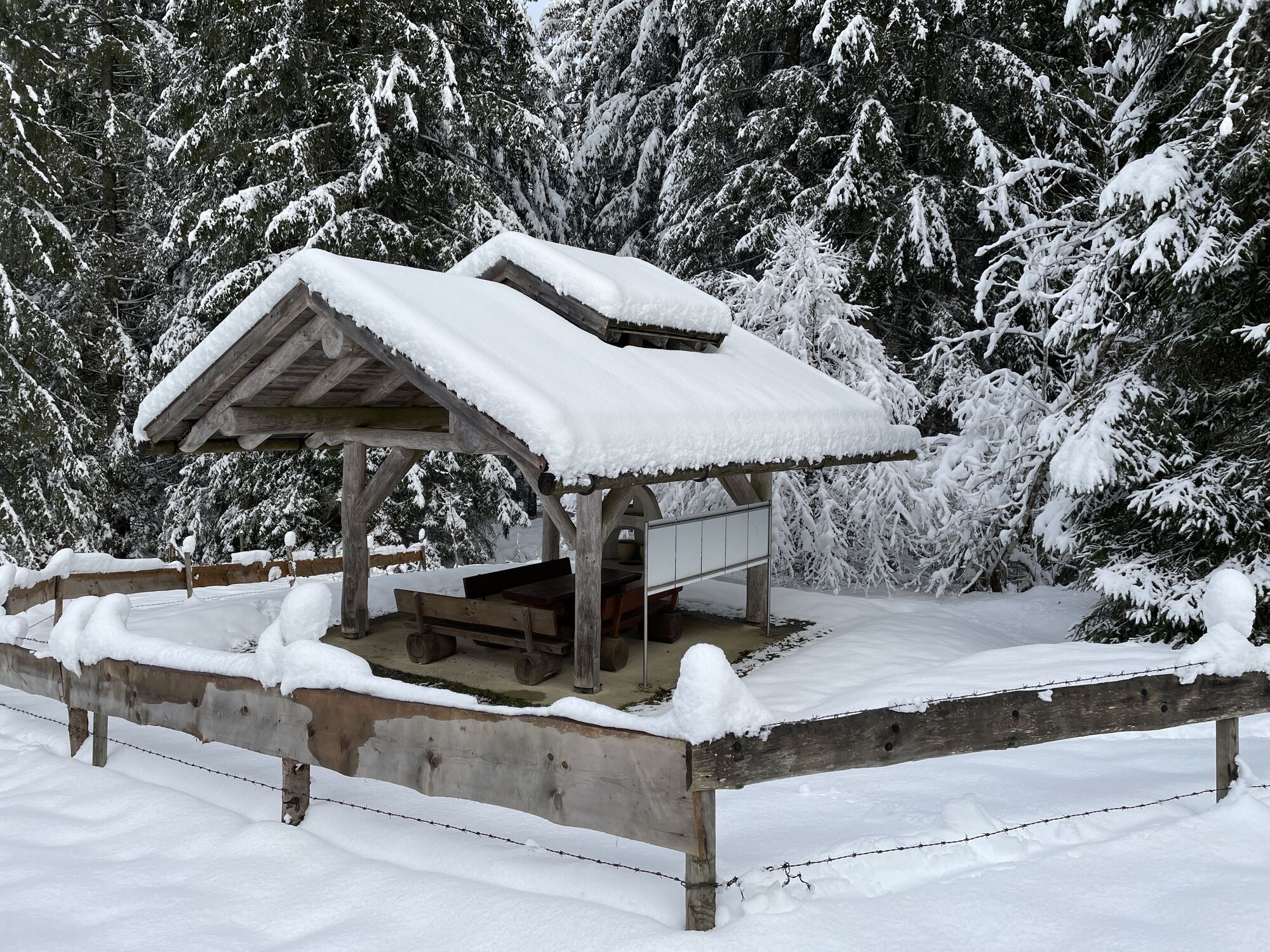
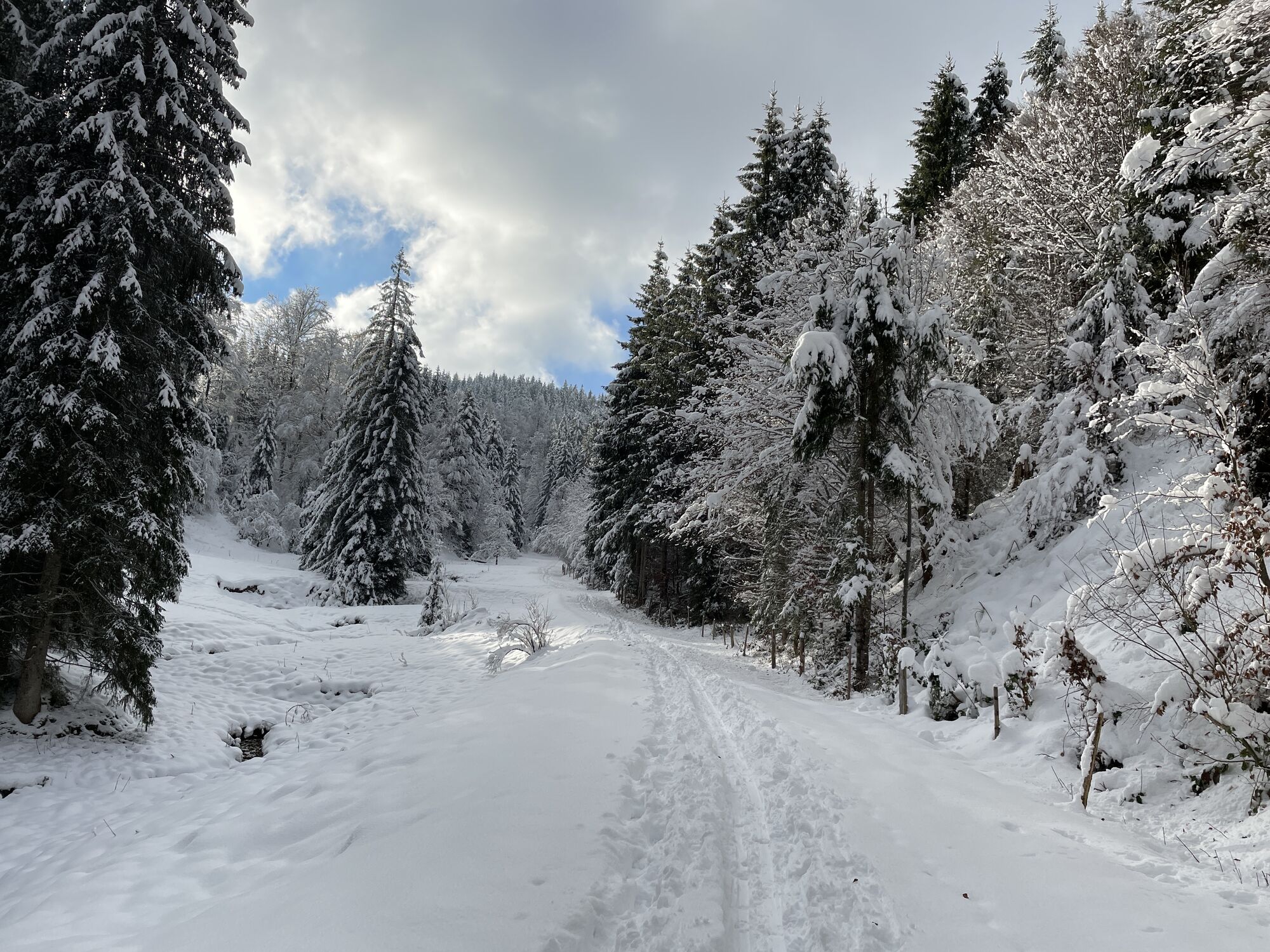
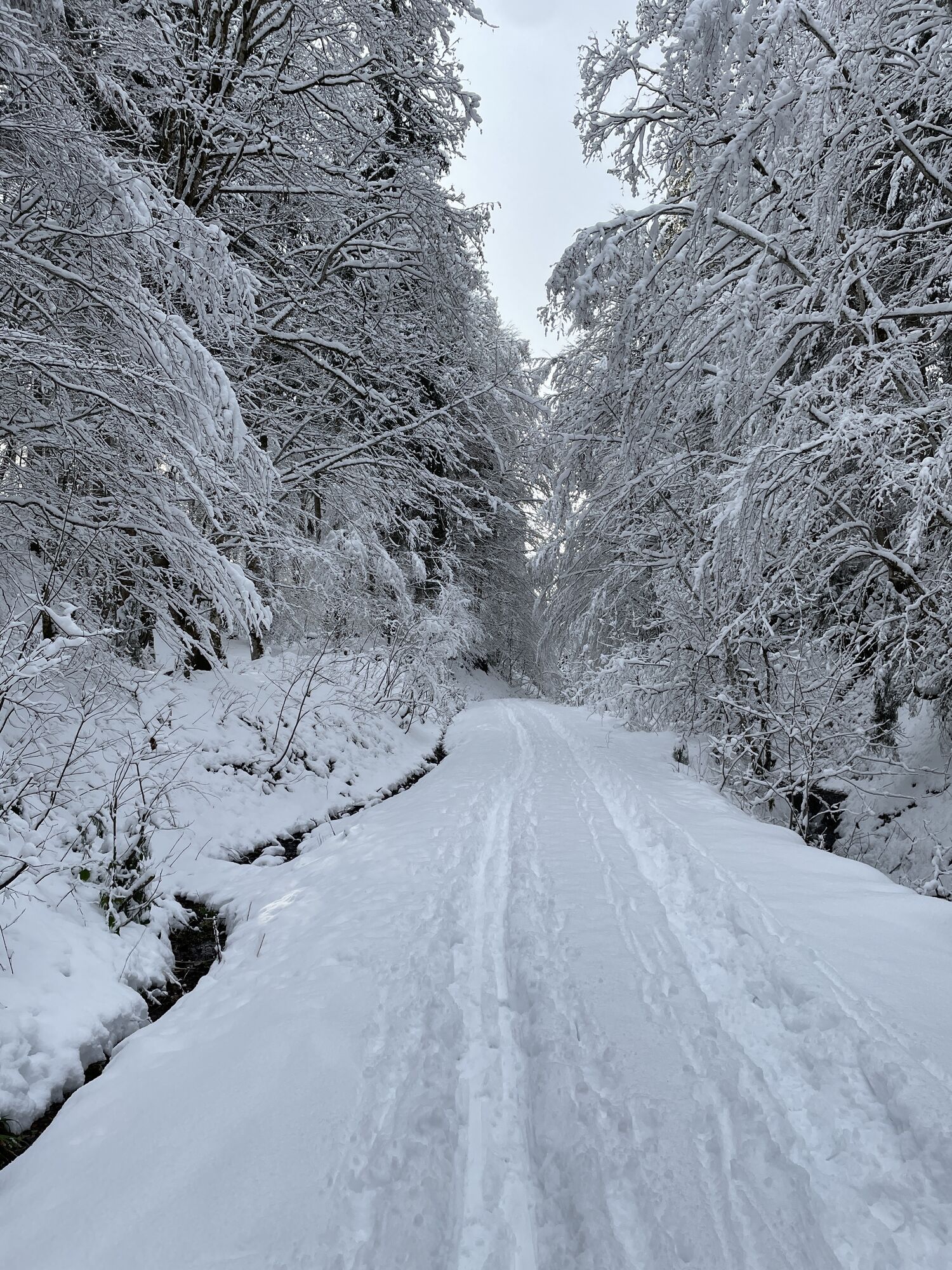
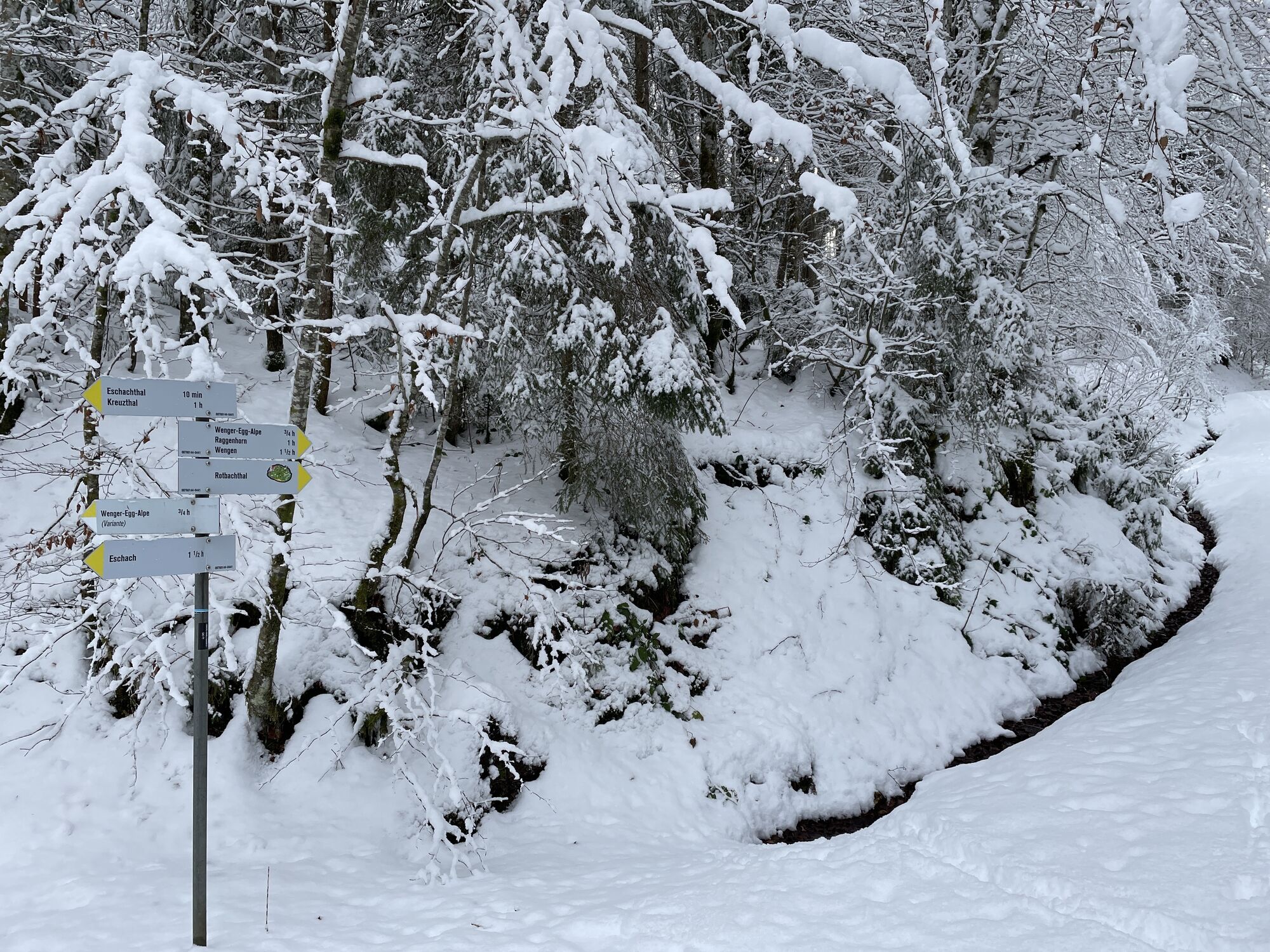
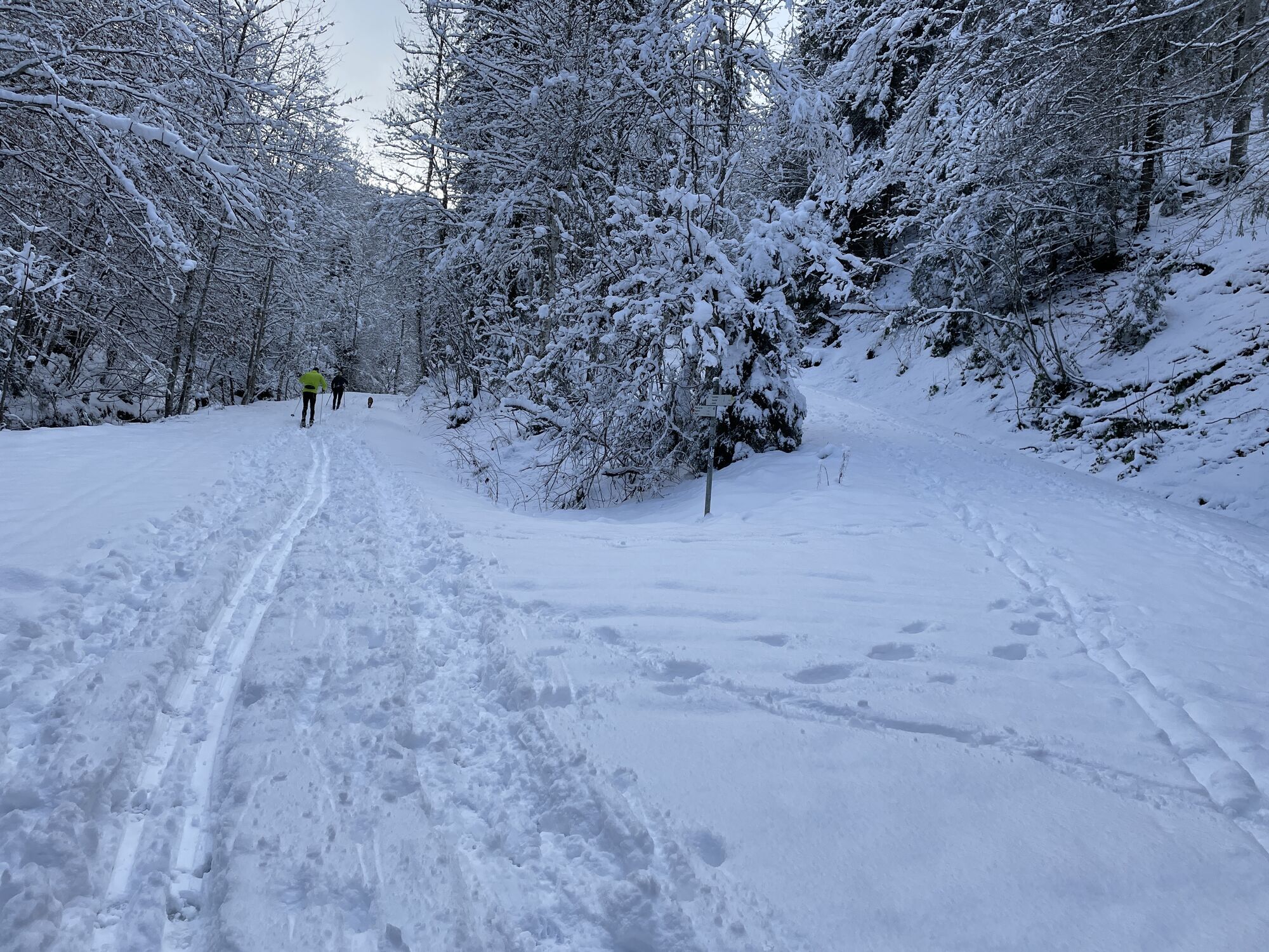
An ideal start for hikers is the parking lot in the Eschachtal at the former glassworks Quellenried, colloquially called the „Batschen“. We first walk leisurely into the valley or ravine, accompanied by...
An ideal start for hikers is the parking lot in the Eschachtal at the former glassworks Quellenried, colloquially called the „Batschen“. We first walk leisurely into the valley or ravine, accompanied by the Rotbach, children find quartz stones here aplenty just like the glassmakers, but the forest next to it is also exciting for the kids. The site of a former glassworks (1770–1778) is still clearly visible in the landscape. Uphill to the Alpe Wenger Egg, also the detour to Raggenhorn with the view far across the Allgäu is always worth it. Before the ridge, the steep root path challenges us and the mountain runners. After the ascent to the tower, back down over the roots and turn left onto the mountain pastures of the Rothen Flue. The mountain pastures are a prime example of landscape management with grazing cattle, even though they only frolic here for a short time. Thus, a unique flora has developed, high time for a botanical study. Then down again through the shady forest to the Batschen.
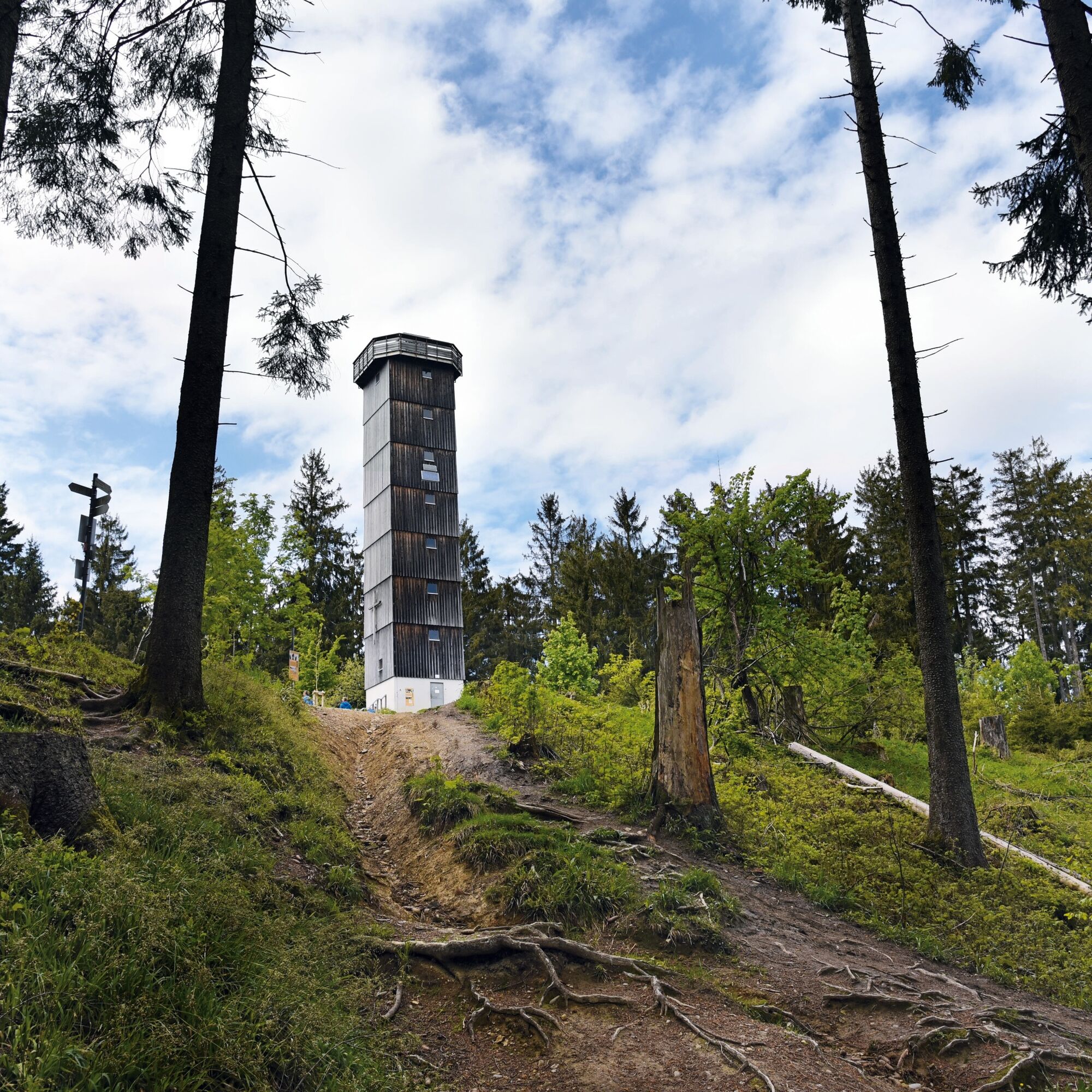

Experts also sometimes use the path from the mountain pasture over the steep ridge and a wild picture-perfect forest up to the tower or down.
Uzyskaj wgląd
Zawsze na żywo z ponad 9 500 kamer internetowych. bergfex Jako użytkownik Pro, możesz teraz zobaczyć odpowiednie kamery internetowe dla wielu wycieczek w aplikacji wycieczki od. Pozwala to na bezpośredni podgląd aktualnych warunków.

Popularne wycieczki w okolicy
-
5,0
Siedelalpe Runde von See - Immenstadt
światłoWędrówka 10,3 km -
4,7
Grosser-Alpsee-Rundweg-11-km
światłoWędrówka 10,9 km -
5,0
Eistobel Grünenbach
światłoWędrówka 6,16 km -
4,0
Burgruinen und schöne Landschaften
światłoWędrówka 10,1 km -
5,0
Untere Iller: Immenstadt bis Martinszell
światłoKajak / Canoe 8,23 km -
4,0
Eistobel- & Bergwanderung
średniWędrówka 13,6 km -
4,3
NiSo See, Waltenhofen, Deutschland
światłoWędrówka zimą 7,38 km -
2,3
Circular route over Kalzhofer Höhe
średniWędrówka 11,3 km -
4,0
Thalkirchdorf - Salmaser Höhe
średniWędrówka 9,97 km -
4,0
Rundtour Salmaser Höhe
światłoWędrówka 13,1 km
Wędrówki i tropienie


Nie przegap ofert i inspiracji na następne wakacje
Twój adres e-mail została dodana do listy mailingowej.





