



Edelsberg circuit

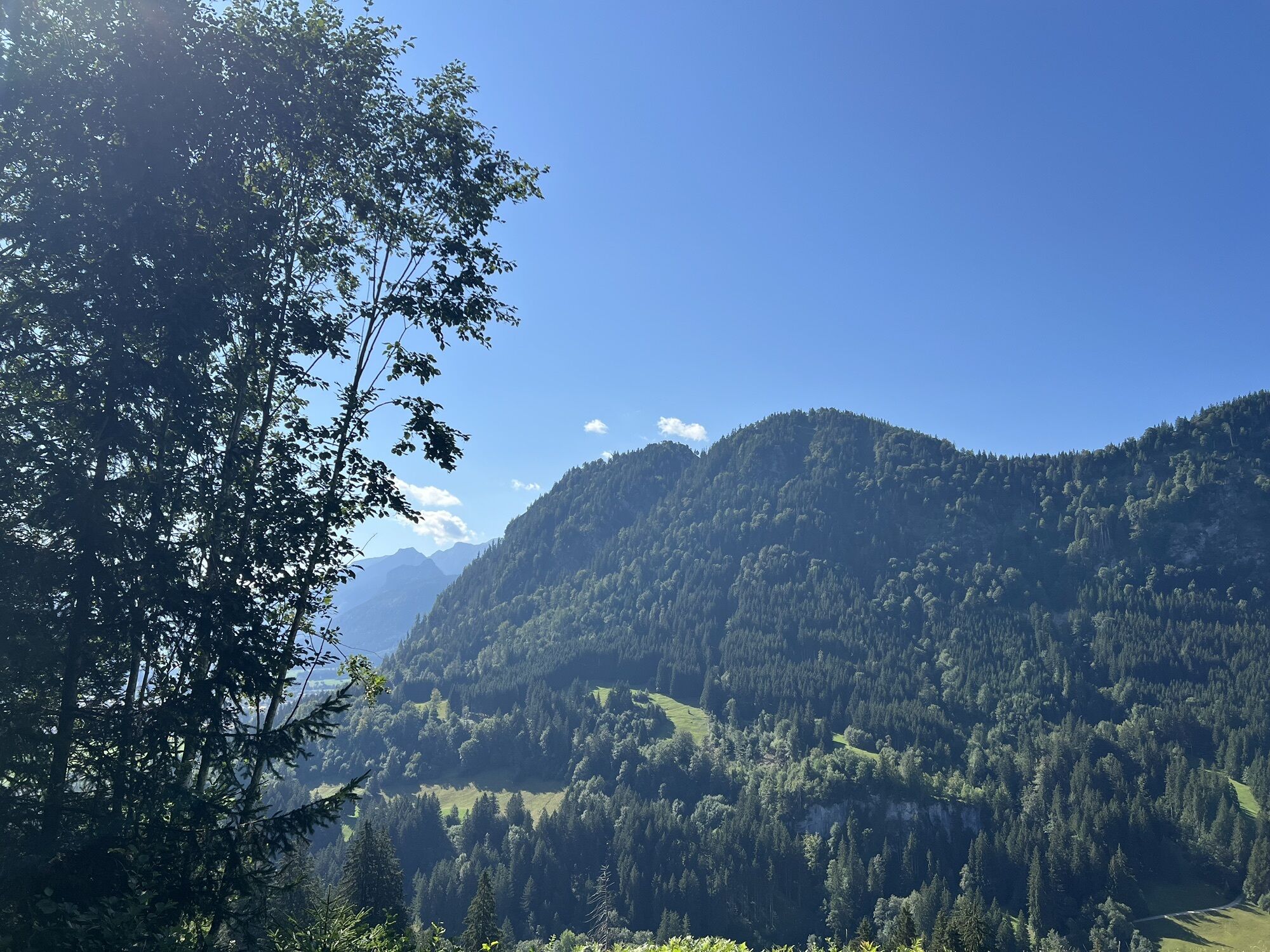
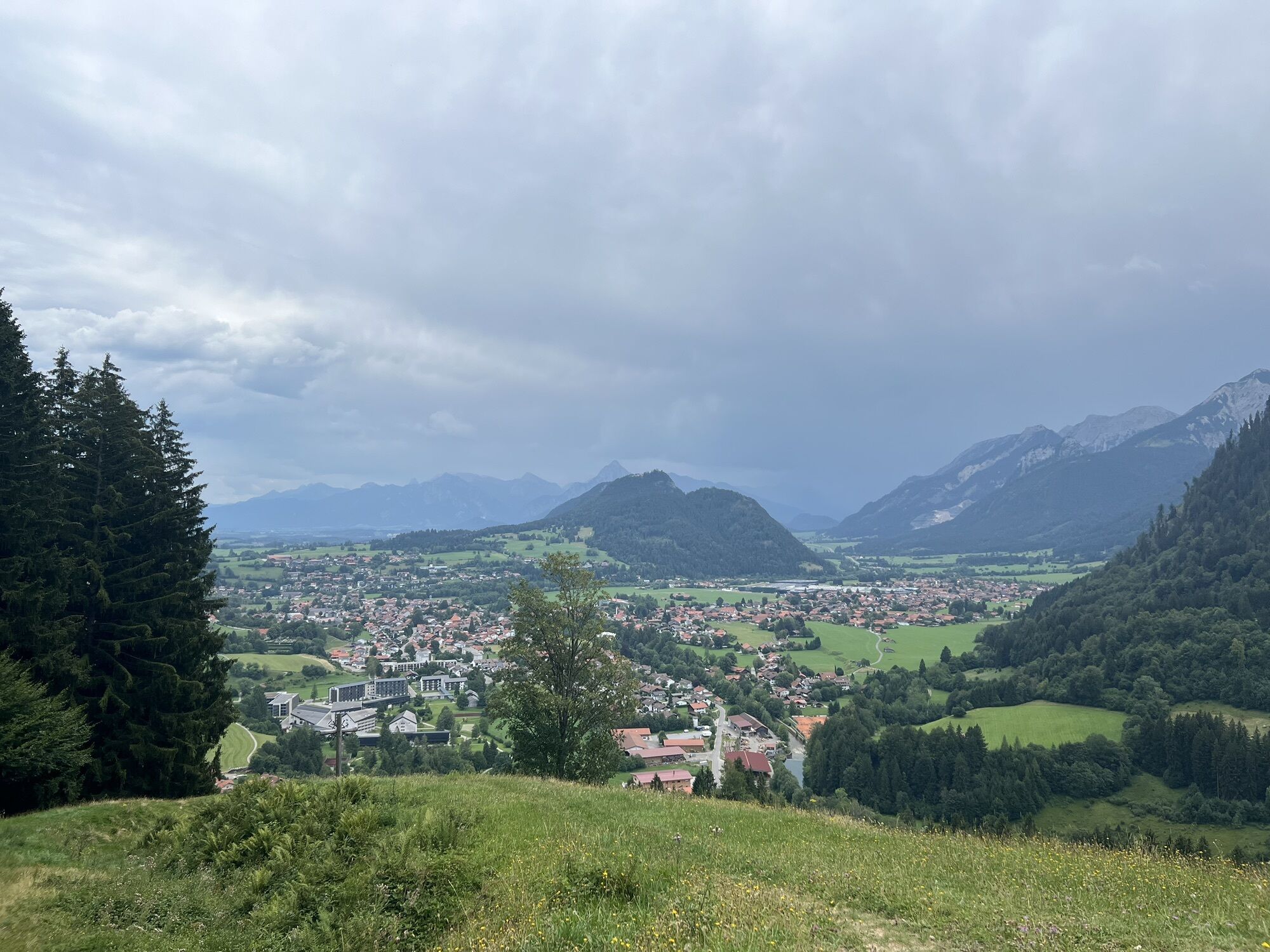
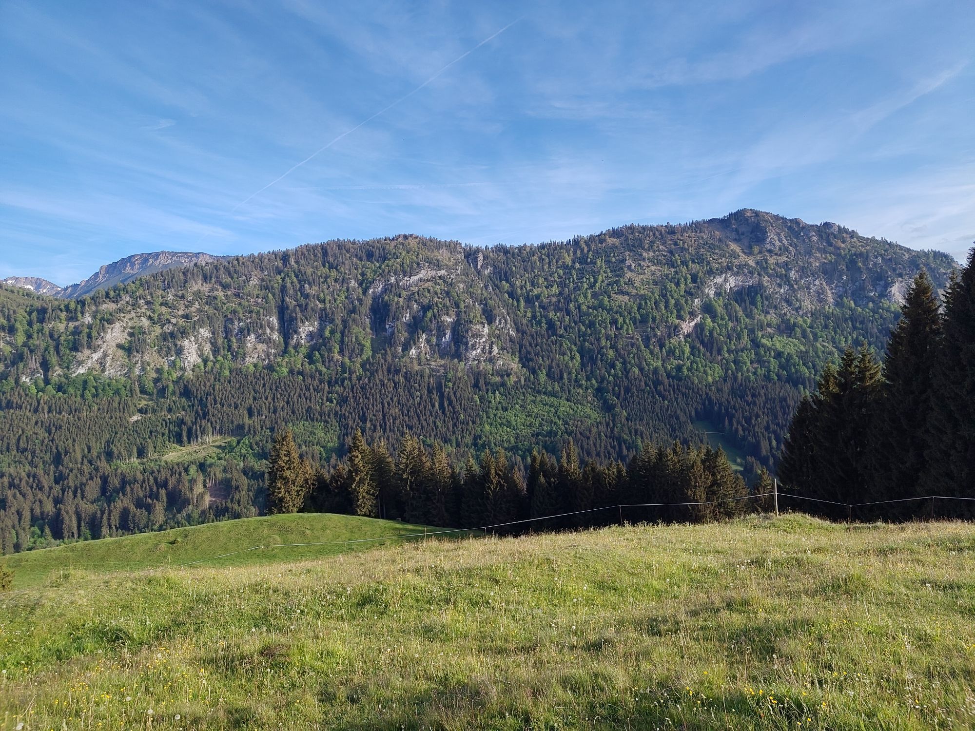
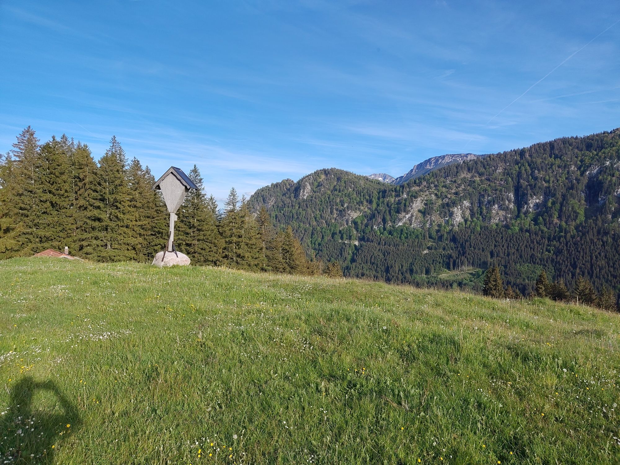
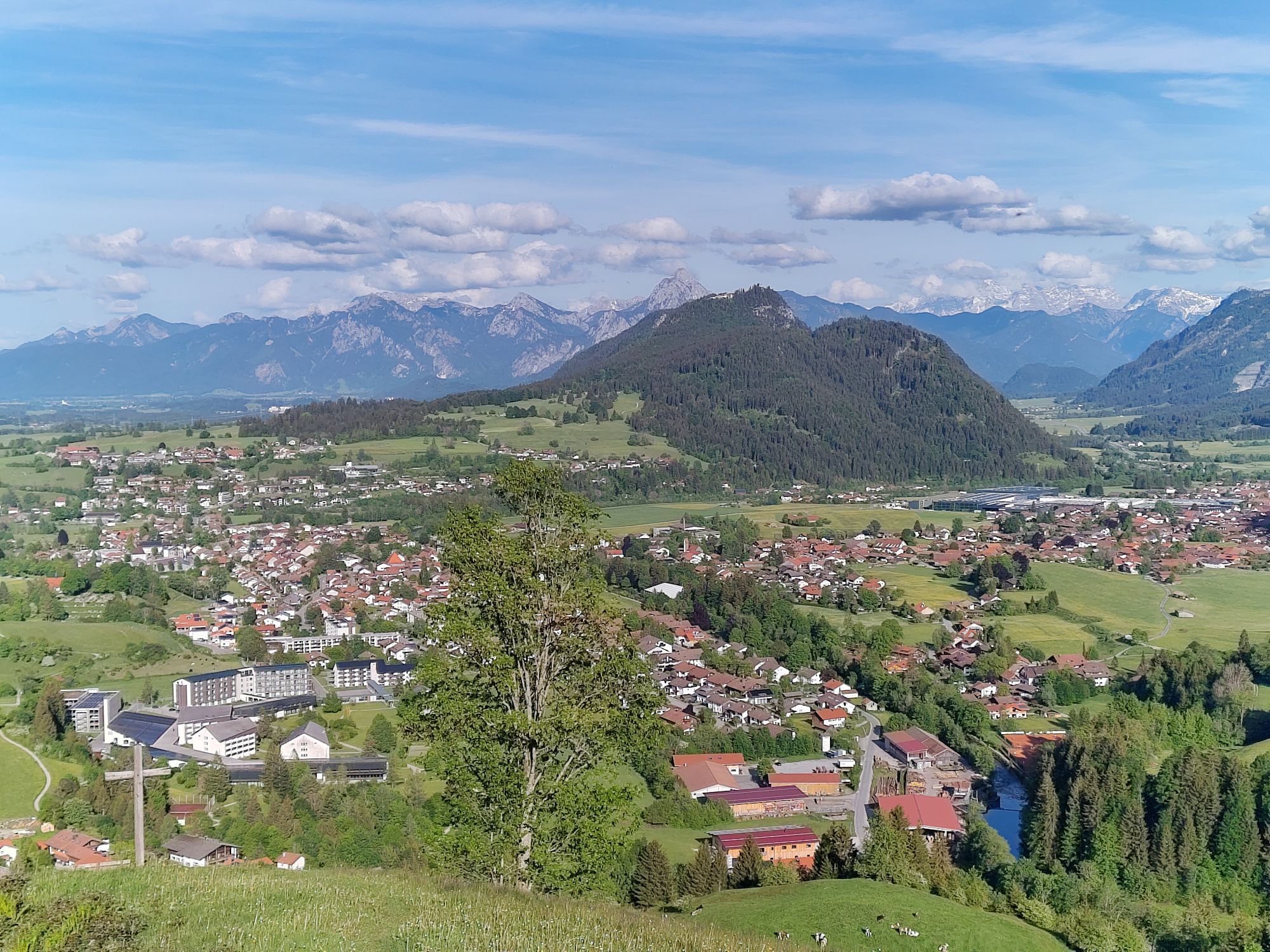
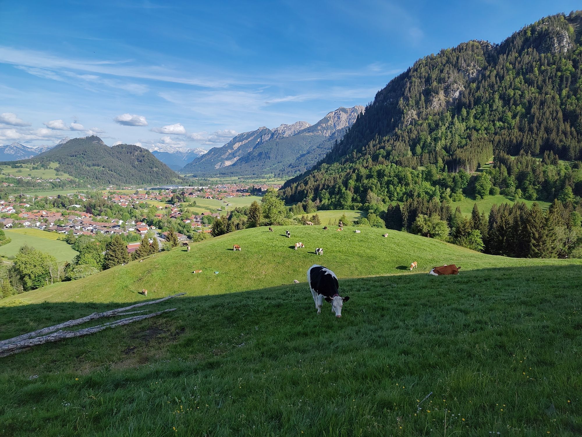
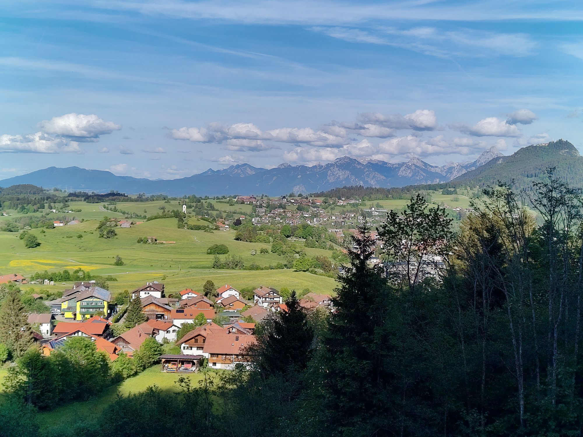
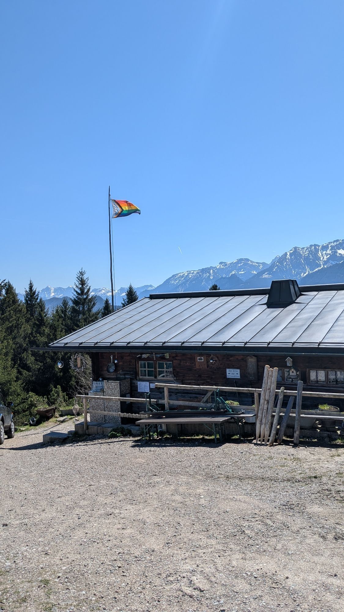
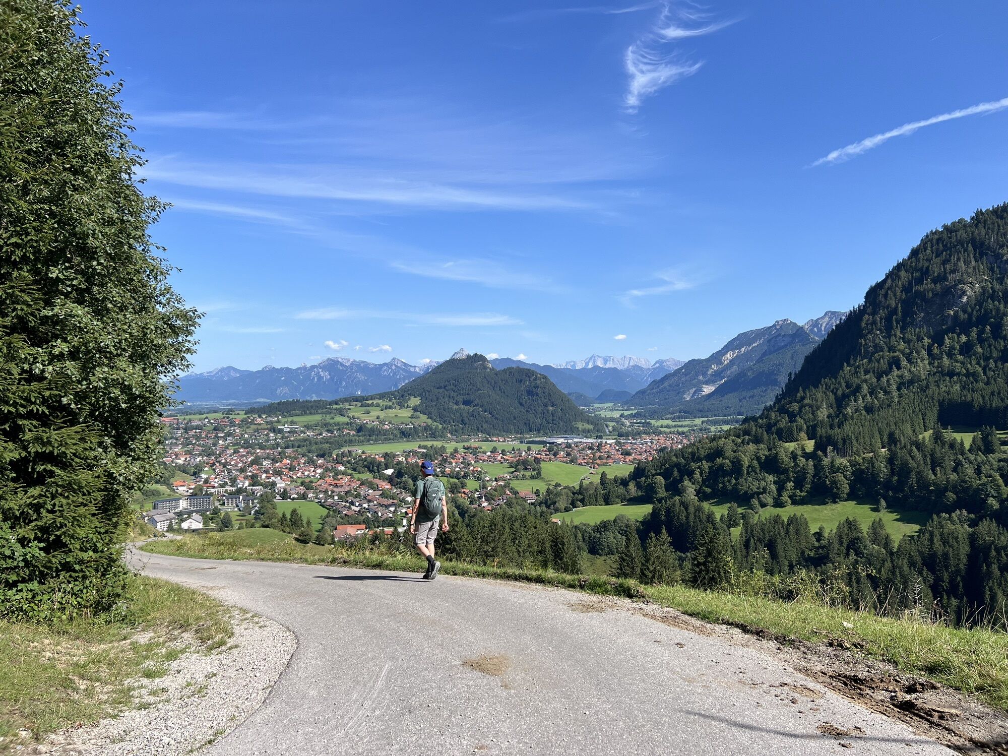
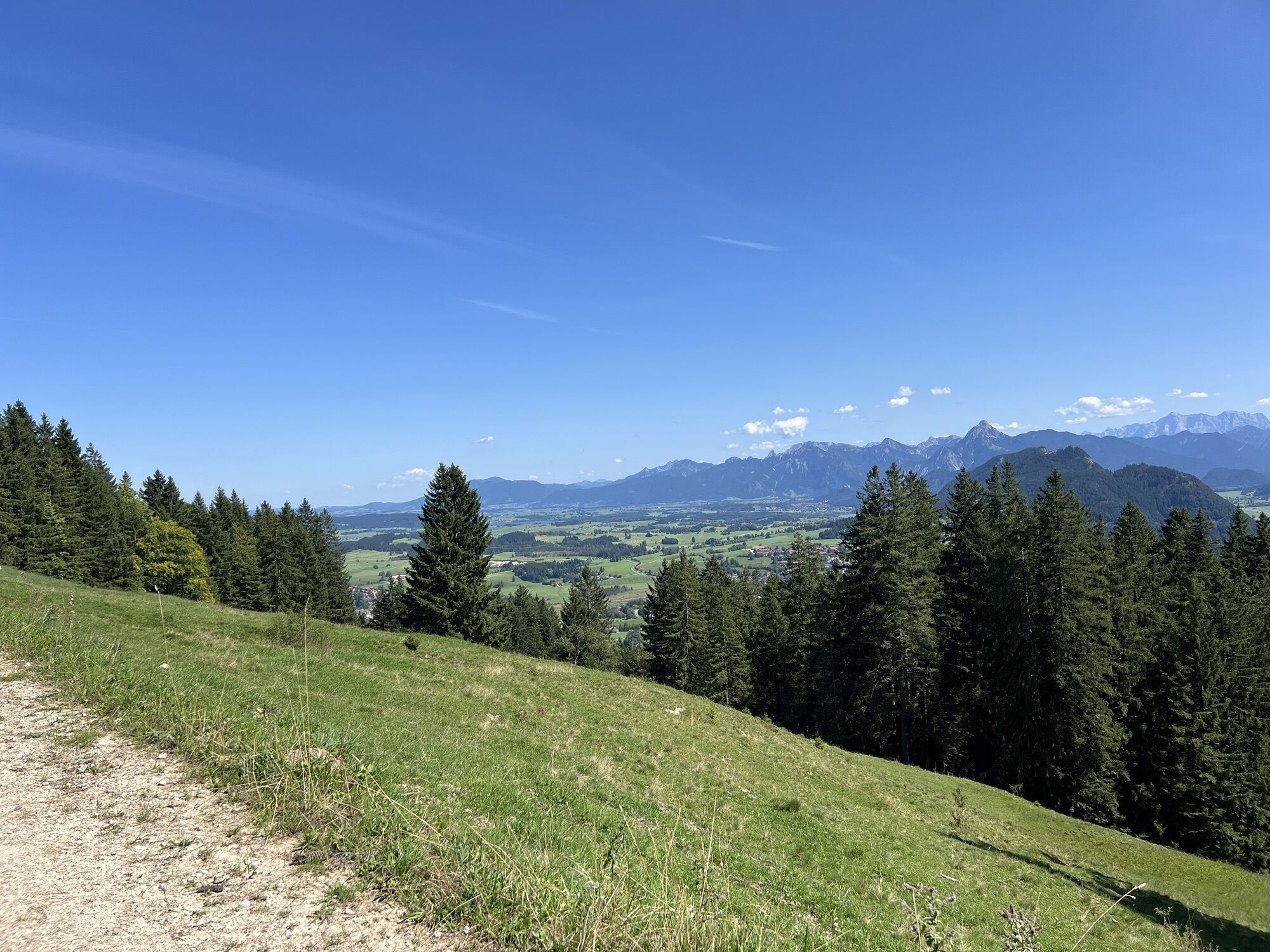
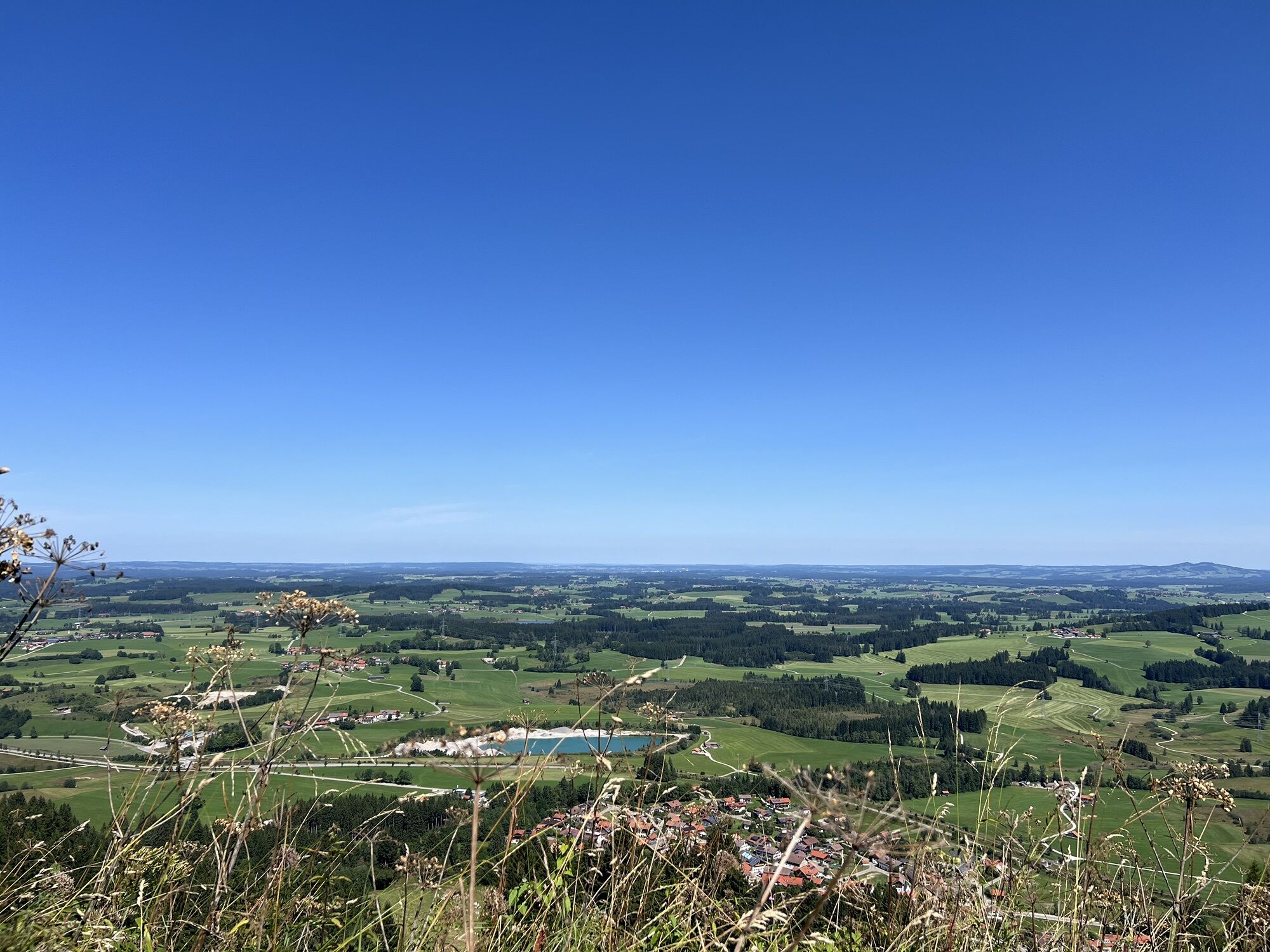


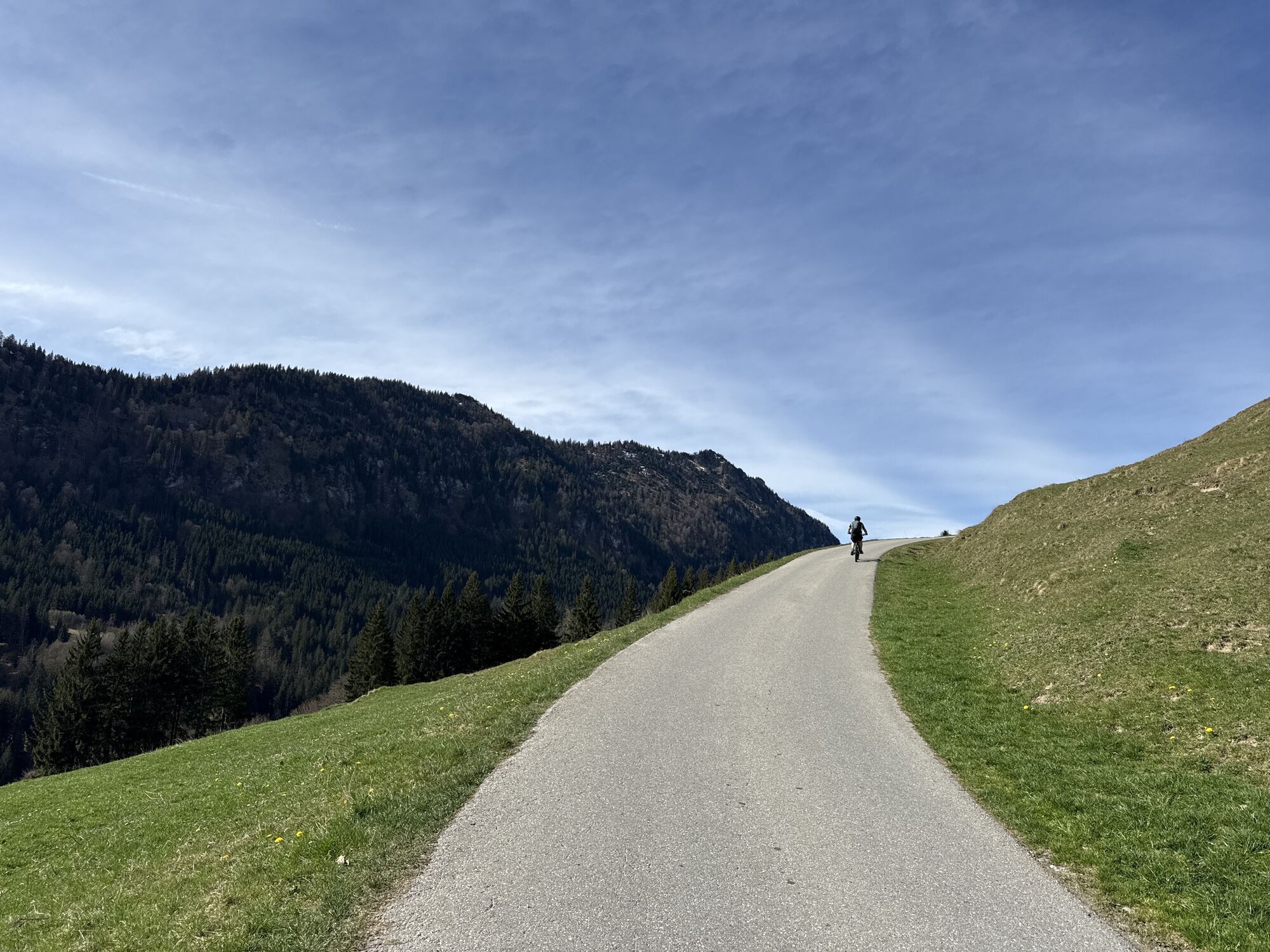
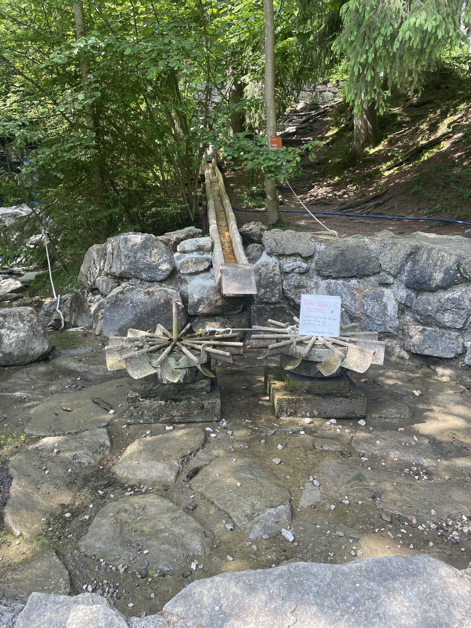

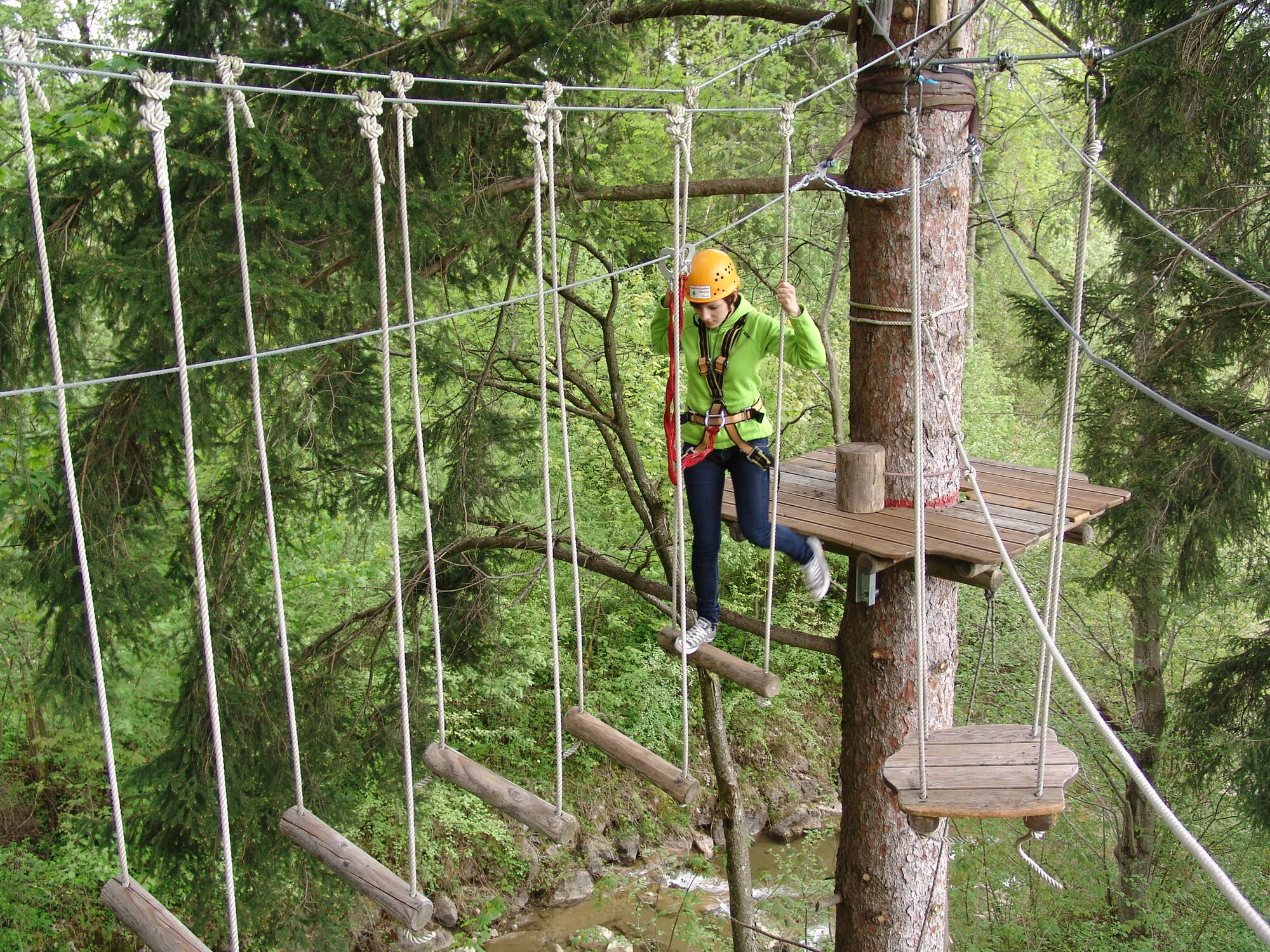
From the Pfronten-Kappel car park towards the Höllschlucht forest rope park follow the ascent to the Hündeleskopf hut. From there, continue towards the Edelsberg hut. The descent leads to Pfronten-Röfleuten....
From the Pfronten-Kappel car park towards the Höllschlucht forest rope park follow the ascent to the Hündeleskopf hut. From there, continue towards the Edelsberg hut. The descent leads to Pfronten-Röfleuten. Afterwards, you return via the Panorama path and the mountain meadow trail back to Pfronten-Kappel. Refreshment options are available at both the vegetarian mountain hut Hündeleskopf and the Edelsberg hut on the Edelsberg.


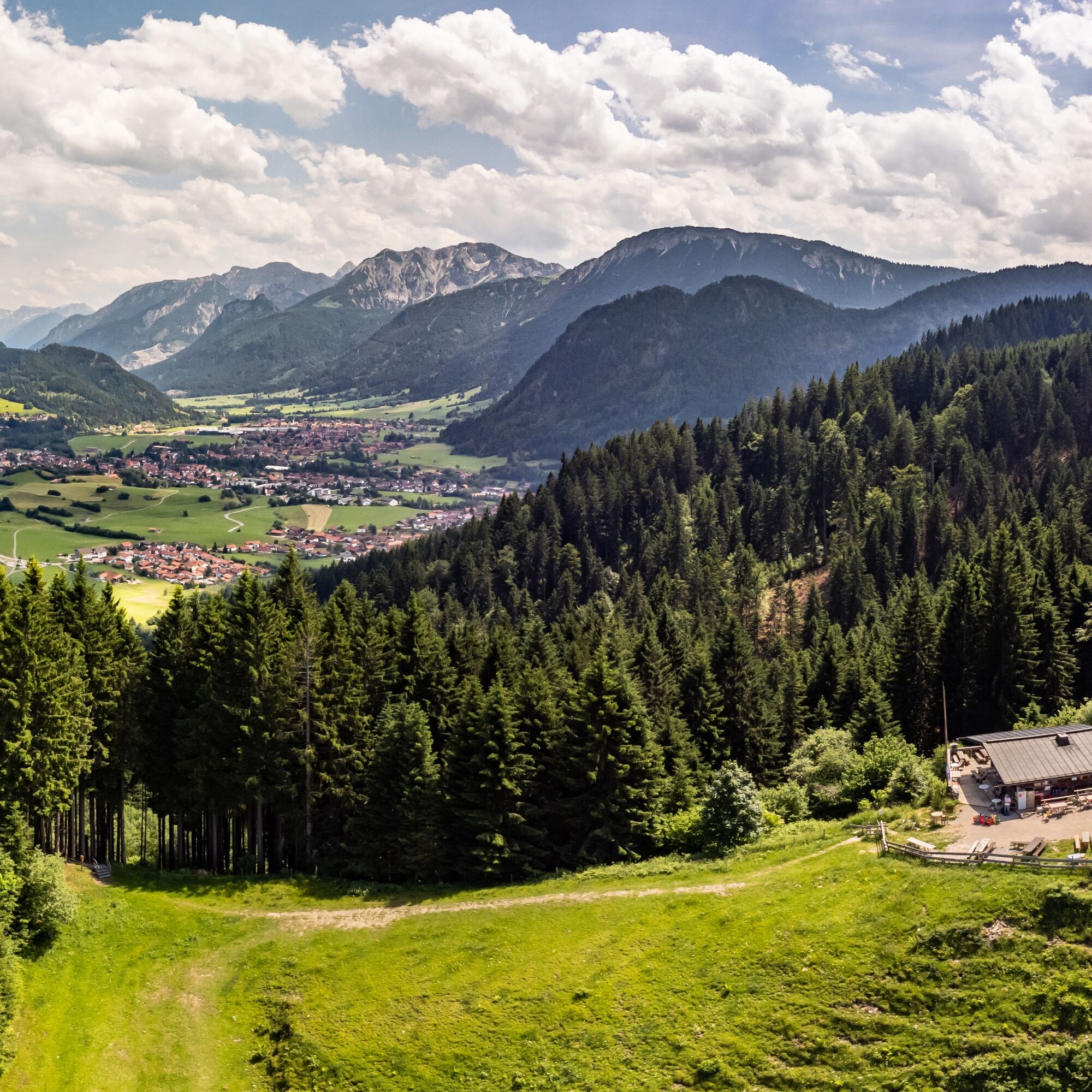
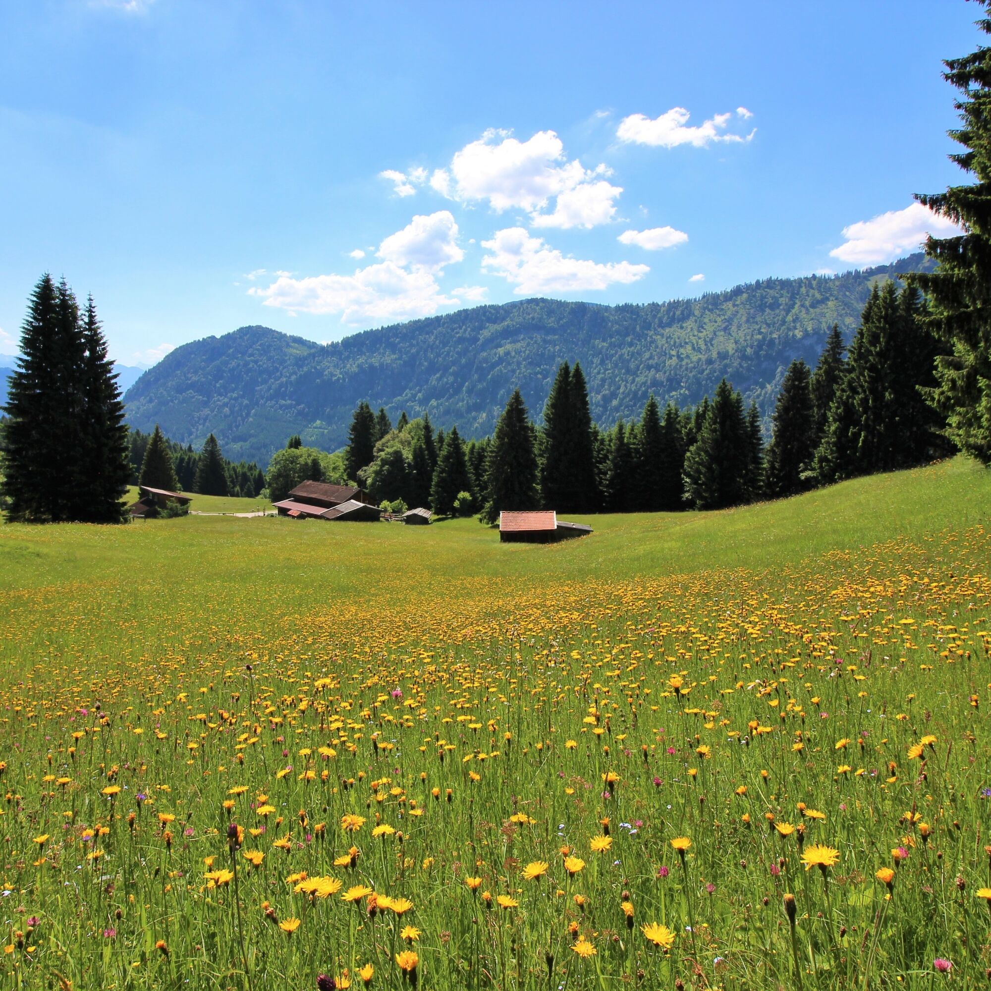
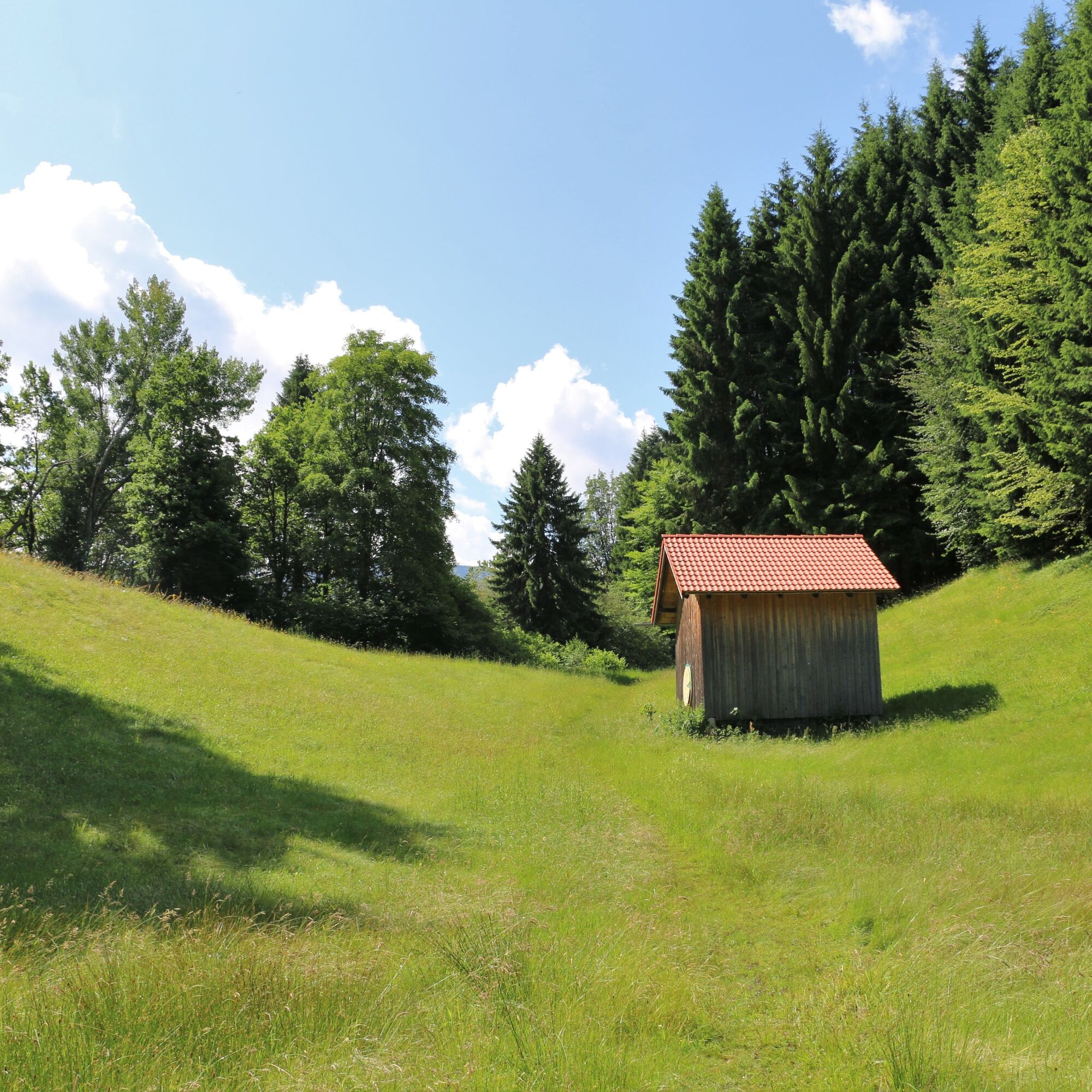
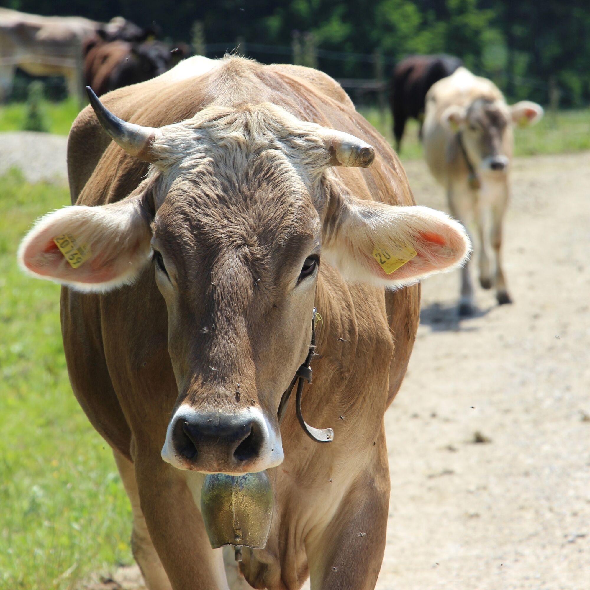
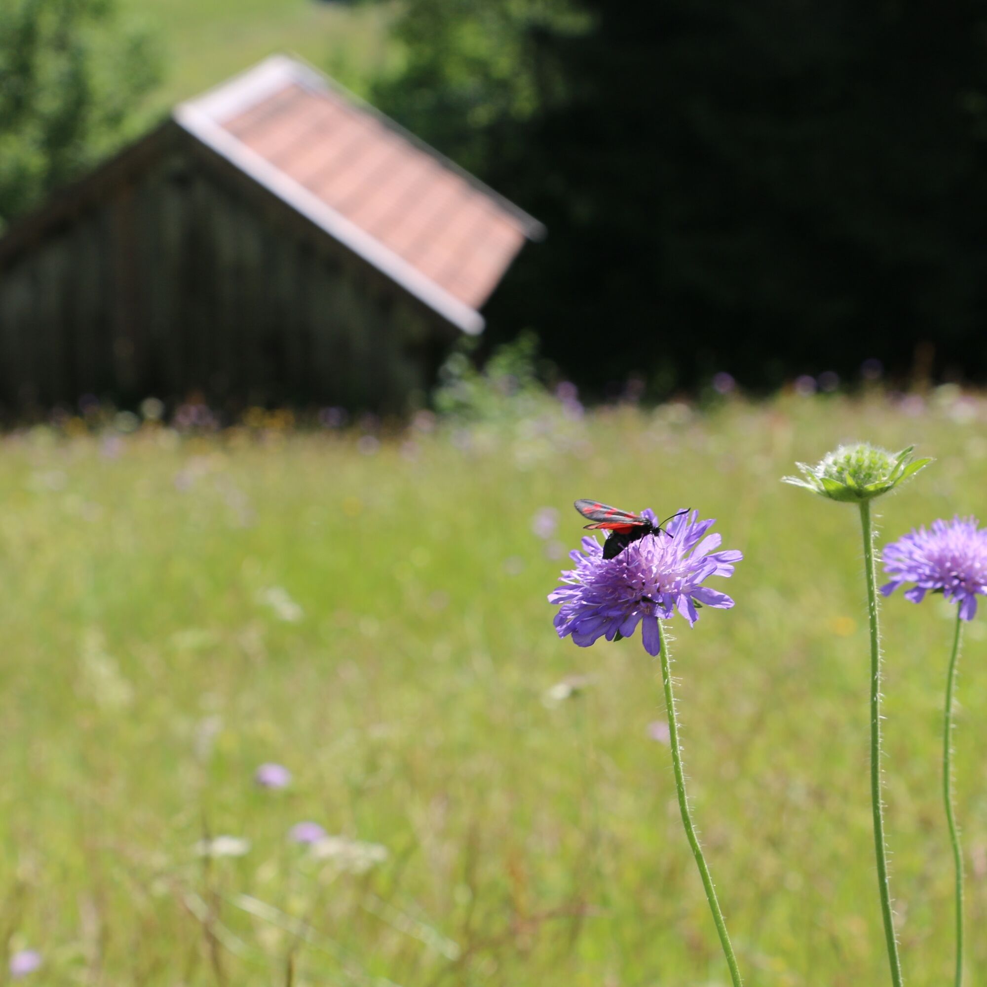
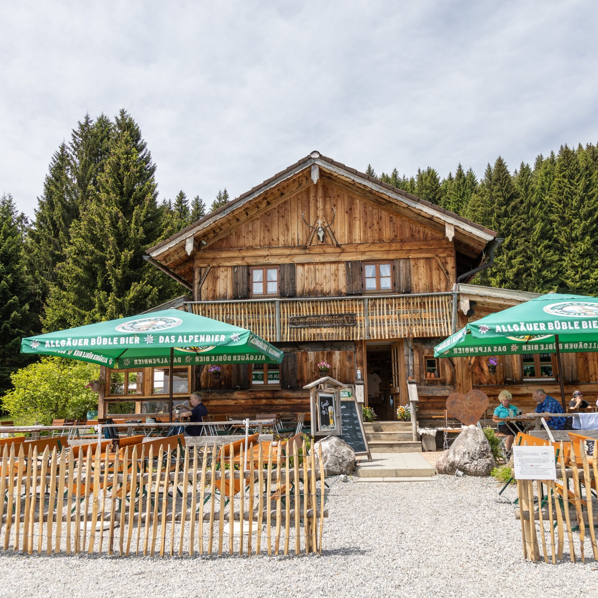
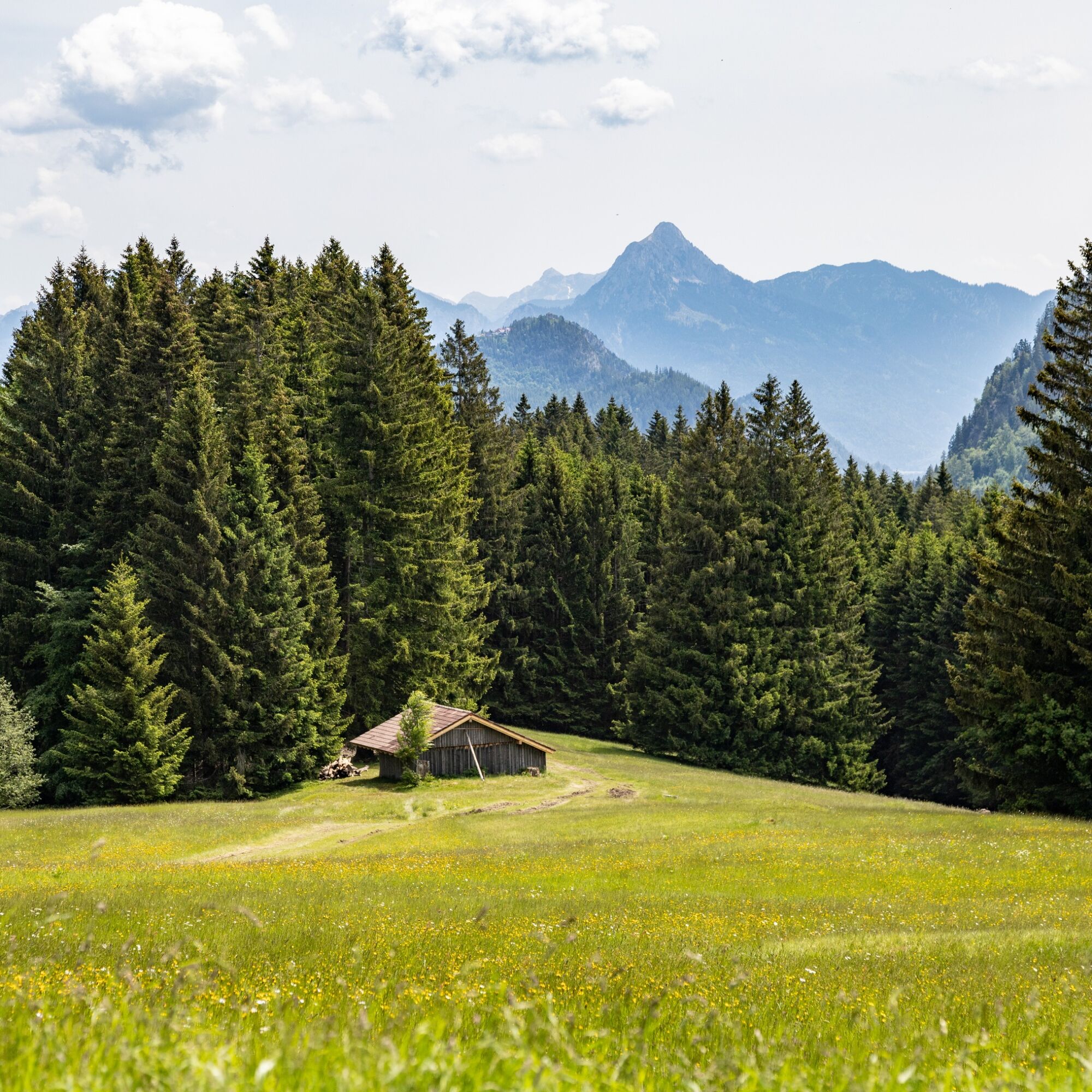
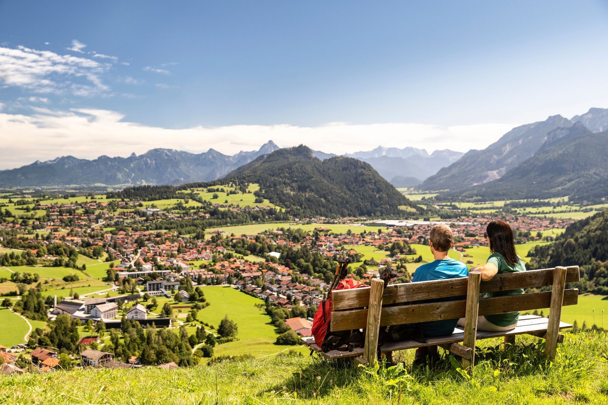

challenging mountain route with magnificent views
B 309
Pfronten railway line, public transport bus
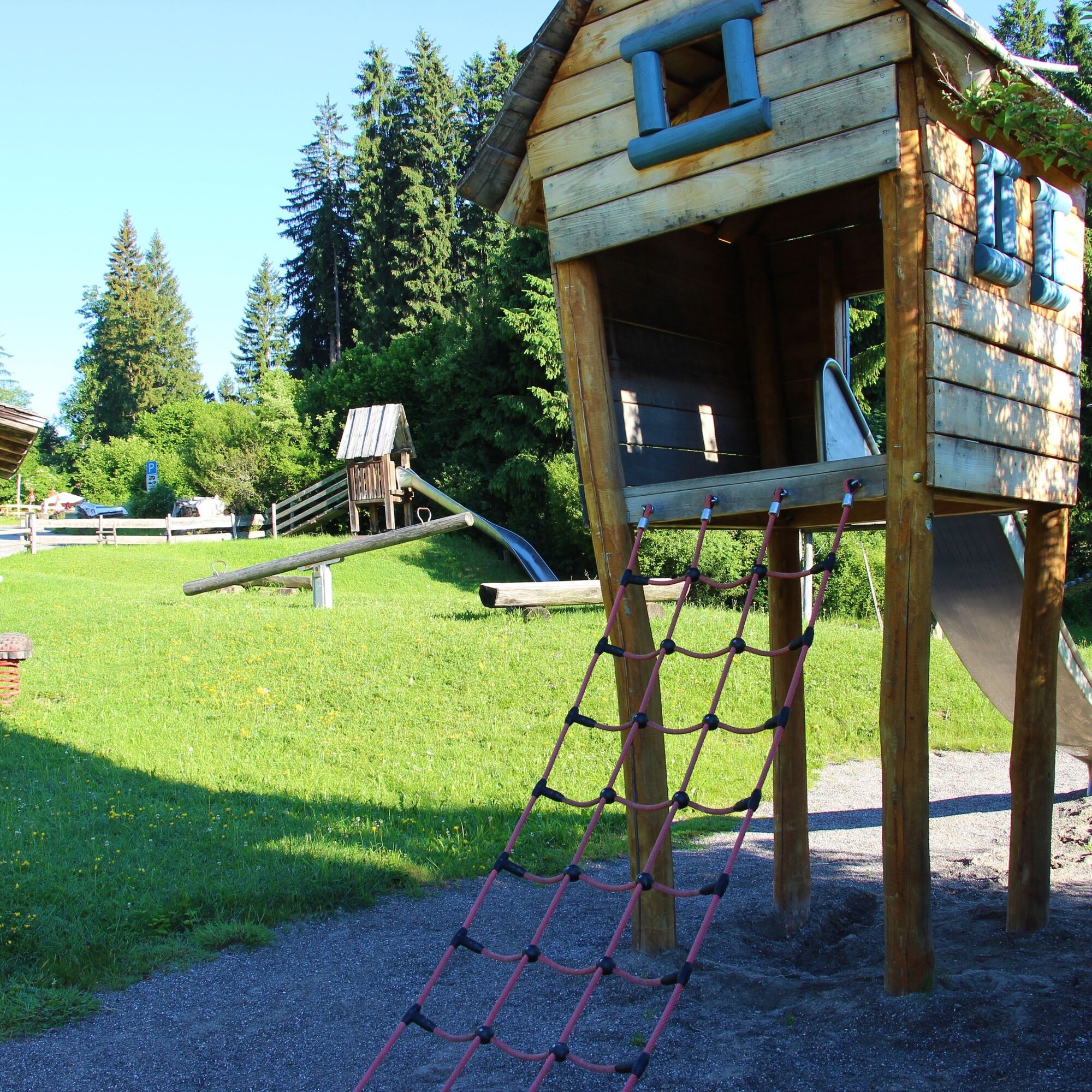
Playground Pfronten-Kappel
This circular route can also be extended over the Edelsberg summit:
Hündeleskopf hut, Kappeler Alp, Edelsberg hut, descent to Pfronten-Röfleuten, via Panorama path and mountain meadow trail back to Pfronten-Kappel

Kamery internetowe z trasy
-
Skizentrum Steinach / Pfronten
-
Pfronten-Halden / Hotel Zugspitzblick
-
Pfronten - Boutique Hotel Blaue Burg Falkenstein
-
Nesselwang - Alpspitzbahn Mittelstation
-
Pfronten - Ostlerhütte
-
Eisenberg - Burgruine
-
Nesselwang - Alpspitzbahn Sportheim Böck
-
Nesselwang - Alpspitzbahn Talstation
-
Breitenbergbahn - Pfronten
-
Pfronten - Skizentrum

Popularne wycieczki w okolicy
-
4,9
Hiking tour to Breitenberg
ciężkiWędrówka 15,6 km -
4,8
Do schroniska Bad Kissinger Hütte przez Gräner Höhenweg
średniWędrówka 13,0 km -
4,7
Mountain hike to the Aggenstein
ciężkiWędrówka 15,3 km -
4,7
Panorama route to the Ostlerhütte
średniWędrówka 5,11 km -
4,6
Around Weißensee
światłoWędrówka 6,12 km -
4,9
Gemeinde Grän, Tirol/Österreich Aggenstein Rundtour über Höhenweg
średniWędrówka 9,84 km -
4,8
Iseler und Kühgundkopf
średniWędrówka 7,63 km -
4,7
3-Gipfel-Tour
średniWędrówka 11,2 km -
4,0
Wanna Reuter
średniWędrówka 9,03 km -
4,5
Durchs Schneetal zum Hahnenkamm
średniWędrówka 14,1 km
Wędrówki i tropienie


Nie przegap ofert i inspiracji na następne wakacje
Twój adres e-mail została dodana do listy mailingowej.


