






Untergriesbach: Sun path
INTERESTING POINTS ALONG THE WAY:
Legendary cultural life:
INTERESTING POINTS ALONG THE WAY:
Legendary cultural life:
Natural space & movement:
SPIRITUAL HIKING ON THE DONAUSTEIG:
GOTTSDORF, the starting point of the Sun path, lies on the Way of St. James. Light leads us out of darkness.
Light experiences occur within the body: love, joy, cheerfulness, zest for life, a friendly look, a comforting word ("Your word is a lamp to my feet and a light to my path" Ps 119:105 as it already says in the Bible), enjoyment and trust make it bright in the soul of the human being. And outside my body: natural and artificial light sources, with which orientation, overview and outlook become possible.
Inner and outer light are vital for humans.
On the "Sun path" I follow the light and sensitize myself to the different nuances of the light experiences.
I observe:
First sun rays on my face in the morning. How it slowly gets brighter – light and shadow sides. Midday sun in the landscape. Evening sun, sunset, moon and stars. "Searching for light" in the dark – perceiving how darkness changes and orientation becomes possible. Light impressions of different seasons and weather conditions. My limits – too much light dazzles. What do these experiences trigger in me? What is it like "when a light goes on for me"? Seeing/comprehending something in a new light
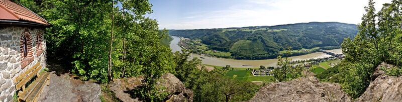

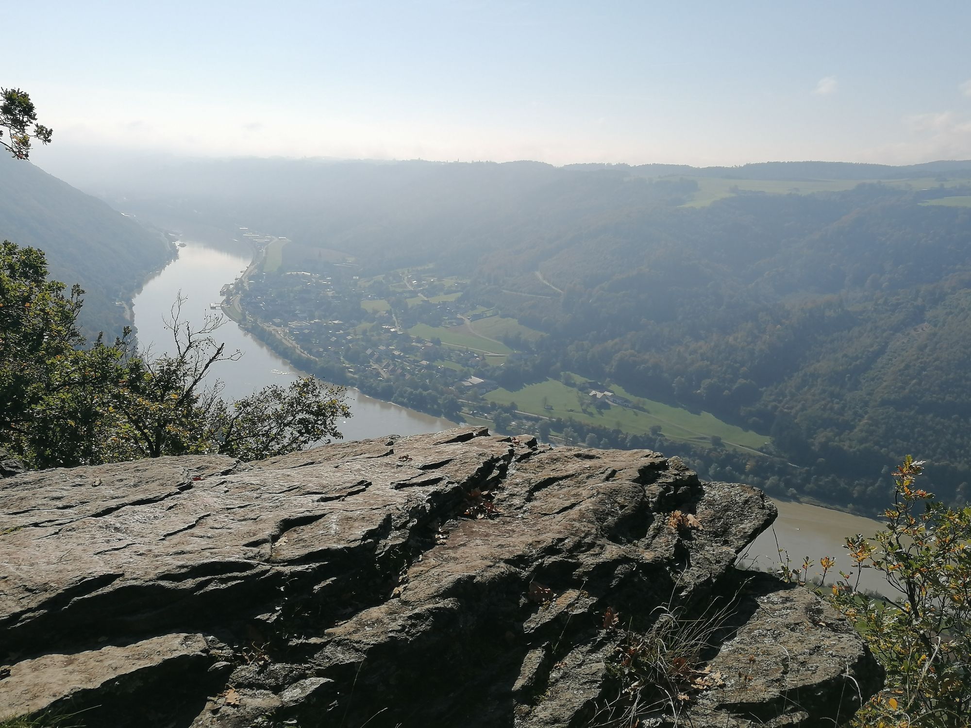
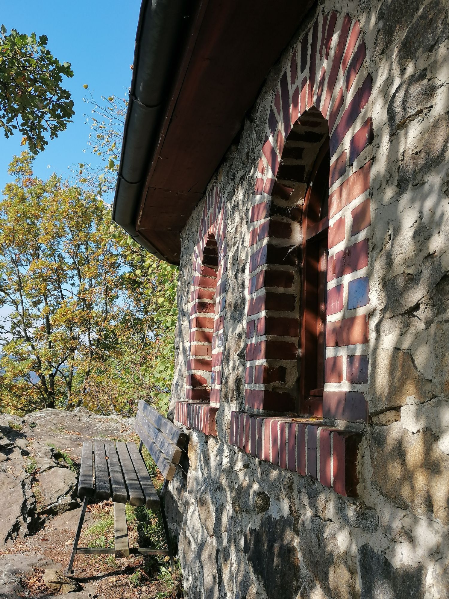
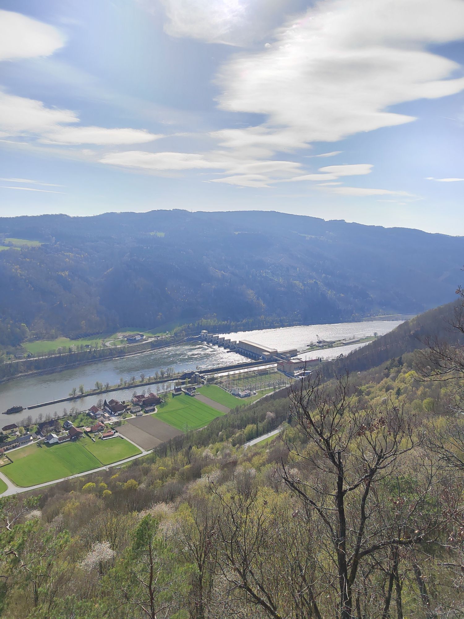
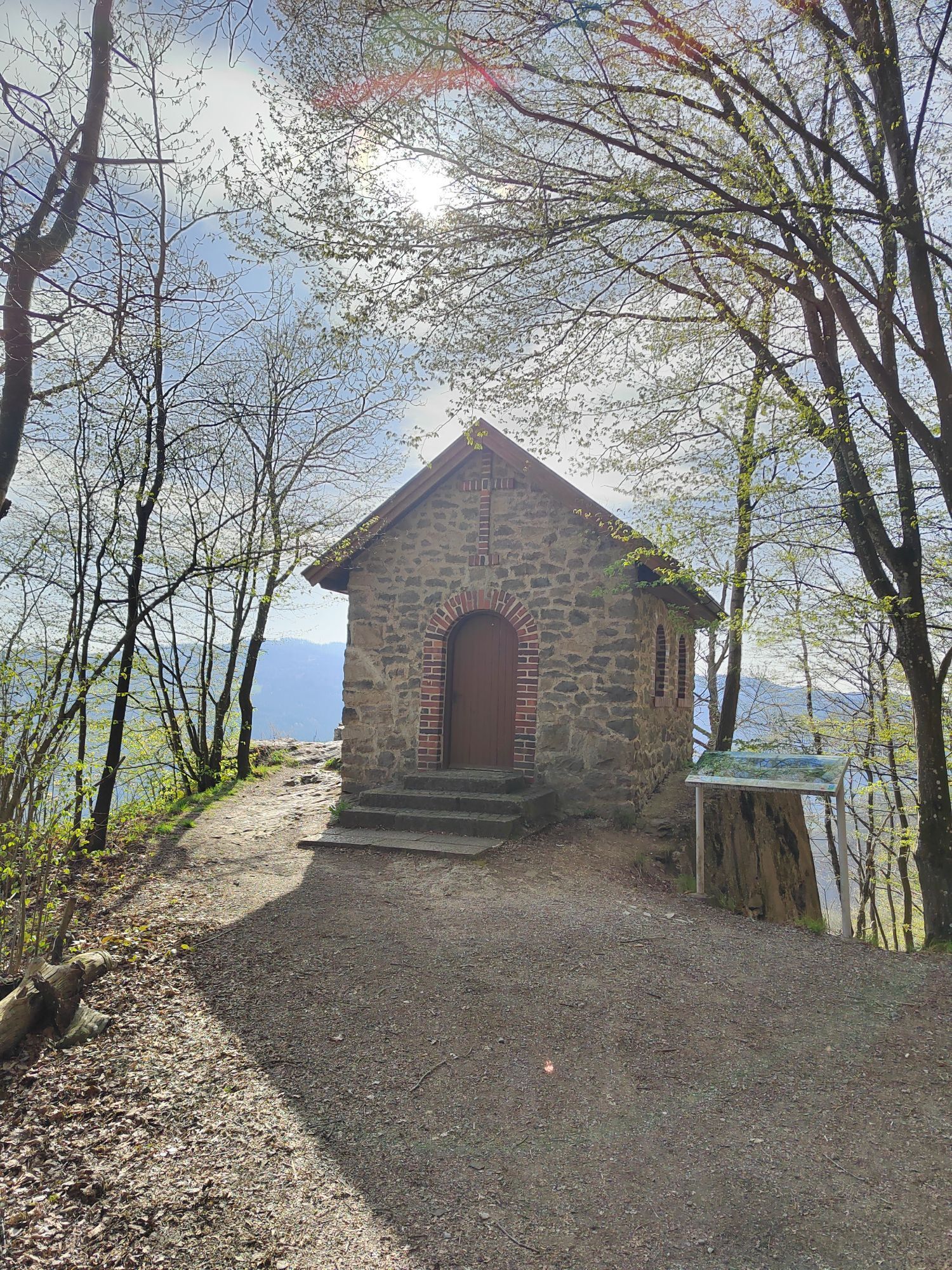
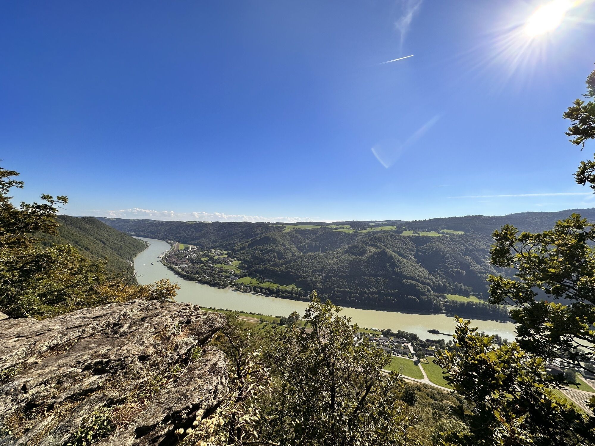
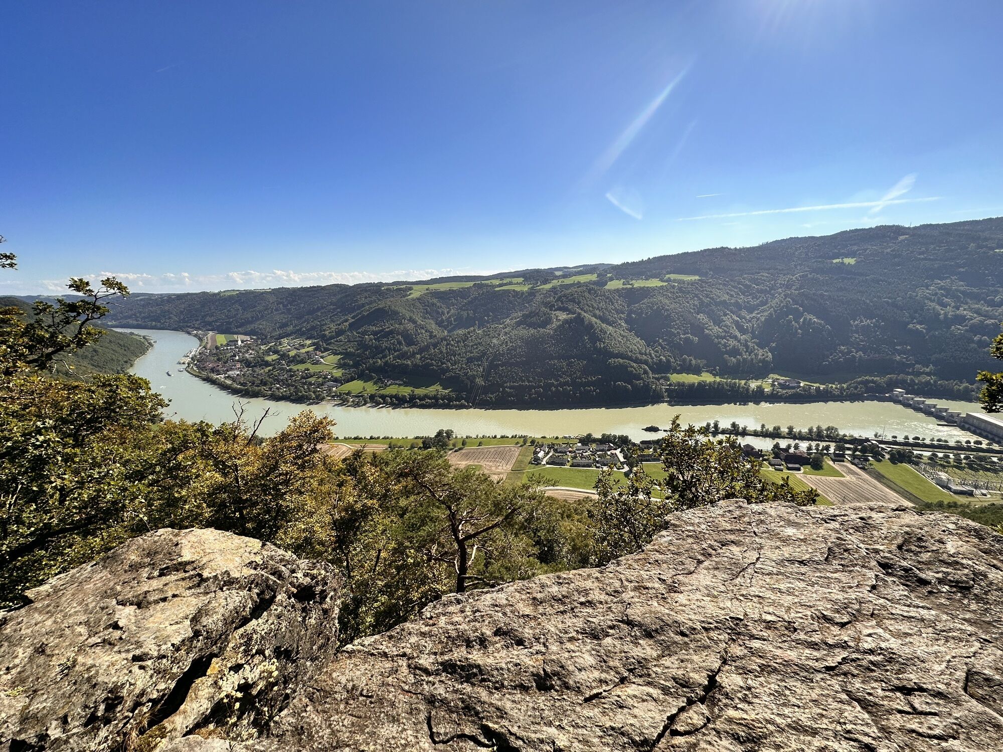
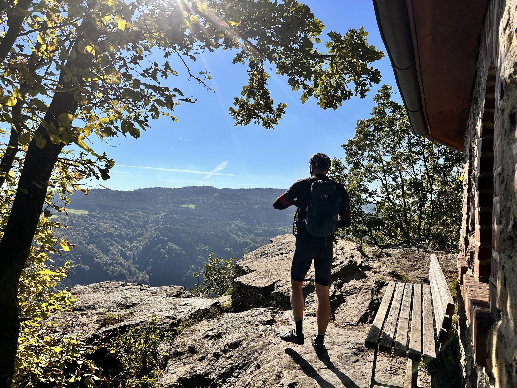
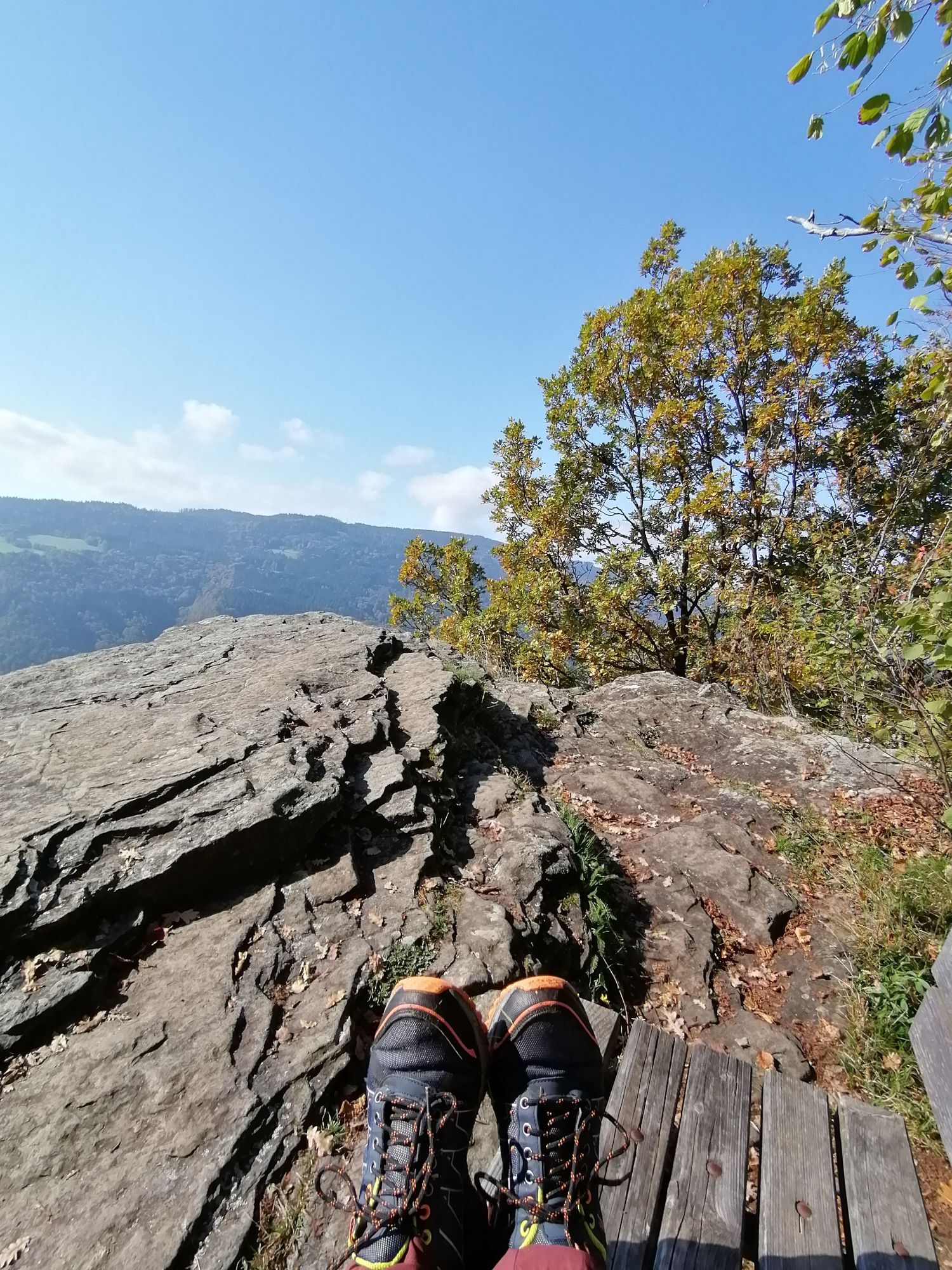
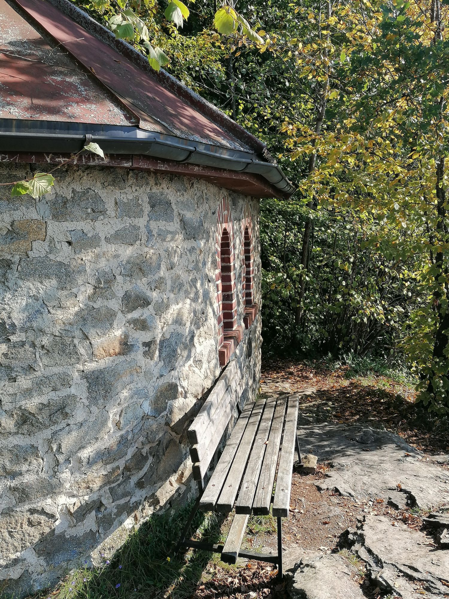
Our route begins at the starting place in Gottsdorf. From there we go northwest along the road. In Ramesberg, we walk between the houses and after a short forest section meet the Donausteig. We now follow it until Riedl and pass beautiful panoramic views (e.g., at Ebenstein with chapel). In Riedl, we can take a detour to the ruins of Neu- and Altjochenstein before we branch off from the Donausteig northwards uphill and head back towards Gottsdorf. We follow the road for a bit and after a left curve turn right into the forest. After crossing the forest, we meet the road again and return to Gottsdorf to the starting point at the bathing parking lot.
Tak
Tak
Hiking backpack (including rain cover), sturdy footwear
At the Ebensteinfelsen viewpoint with chapel, caution is advised due to unsecured terrain
Car, bus
Transport Association Passau District (VLP) with RBO (Regional Bus East Bavaria) Timetables at: www.vlp-passau.de
Directly at the starting place or starting point
Tourist Information Untergriesbach
Marktplatz 24
94107 Untergriesbach
Tel.: 0049(0)8593/9009-21
Fax: 0049(0)8593/9009-30
www.untergriesbach.de
tourist@untergriesbach.de
DONAUSTEIG HOST ALONG THE ROUTE:
Country inn "zum Lang"
Alte Dorfstr 29, Gottsdorf, 94107 Untergriesbach, Tel.: +49 8593 93300, www.landgasthof-lang.de
- Wild strawberry wheat beer
- 12 beds
High mountain ridge route: hike to the summit cross with panoramic views of the Bavarian Forest mountains. Beautiful high forest stands.
Walking time approx. 1 hour
 Uzyskaj wgląd
Zawsze na żywo z ponad 9 500 kamer internetowych. bergfex Jako użytkownik Pro, możesz teraz zobaczyć odpowiednie kamery internetowe dla wielu wycieczek w aplikacji wycieczki od. Pozwala to na bezpośredni podgląd aktualnych warunków.
Uzyskaj wgląd
Zawsze na żywo z ponad 9 500 kamer internetowych. bergfex Jako użytkownik Pro, możesz teraz zobaczyć odpowiednie kamery internetowe dla wielu wycieczek w aplikacji wycieczki od. Pozwala to na bezpośredni podgląd aktualnych warunków.
Popularne wycieczki w okolicy
-
4,8
Hofkirchen: Waterfall round
średniWędrówka 8,43 km -
3,8
Waldkirchen: 4/4 View Round | Large Danube Resonance Path Round
średniWędrówka 12,9 km -
4,5
Rannatalweg
średniWędrówka 10,7 km -
4,5
Rannastausee
światłoWędrówka 9,03 km -
4,0
R1.05 Sauwald Panorama Route
średniJazda na rowerze 57,8 km -
5,0
Kneipp,- Fitnessweg im Rannatal
światłoWędrówka 3,79 km -
4,0
Danube Cycle Path Stage 1 North Bank: Passau - Schlögen
światłoKolarstwo długodystansowe 40,8 km -
4,0
Panoramaweg
światłoWędrówka 7,53 km -
3,8
Esternberg: Kößlbachrunde
światłoWędrówka 15,8 km -
5,0
Pfarrkirchen: dream view route
średniWędrówka 15,7 km
Wędrówki i tropienie


Nie przegap ofert i inspiracji na następne wakacje
Twój adres e-mail została dodana do listy mailingowej.





