







Alpspitz Loop with Waterfall
Poziom trudności: T2
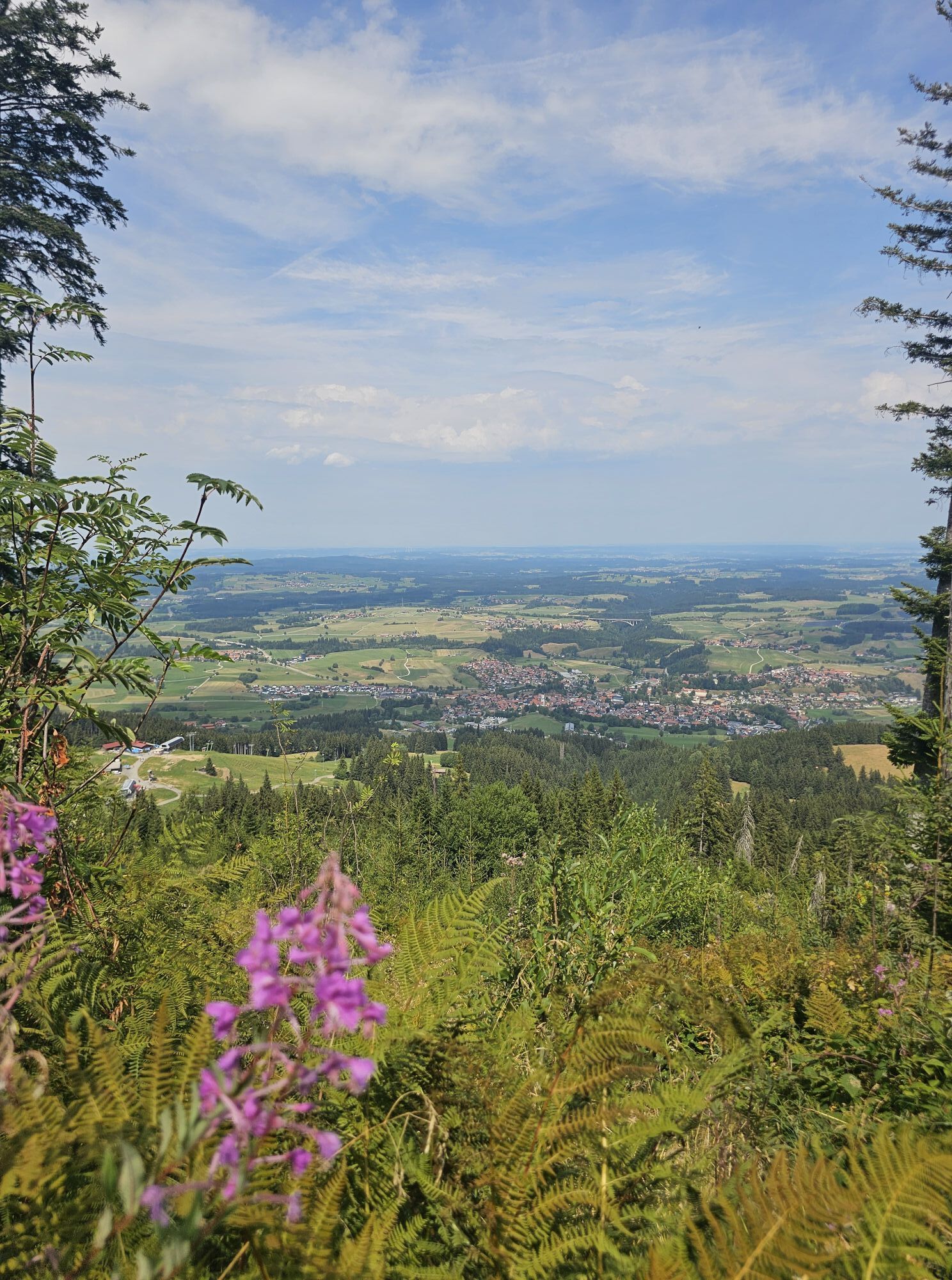
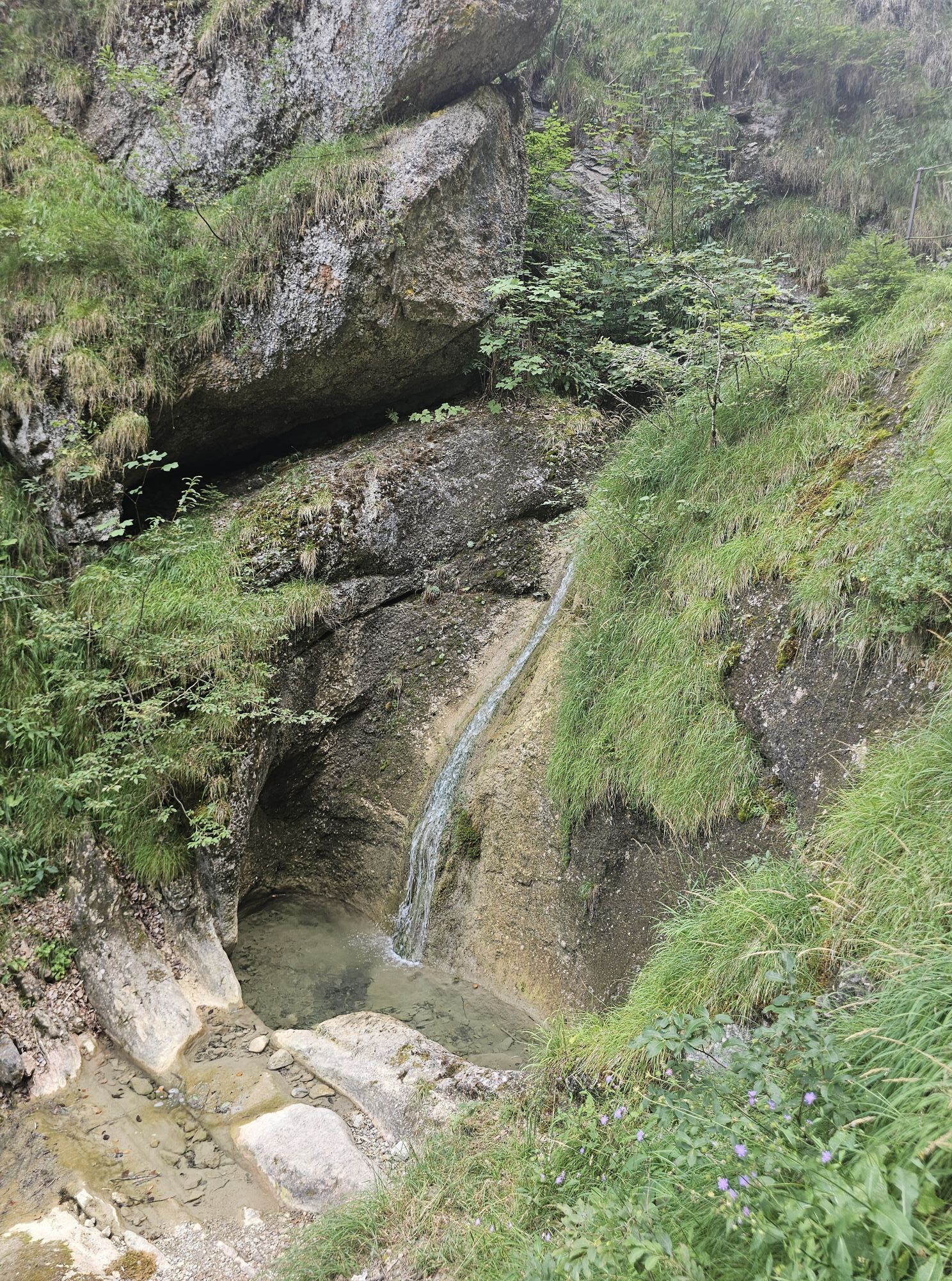
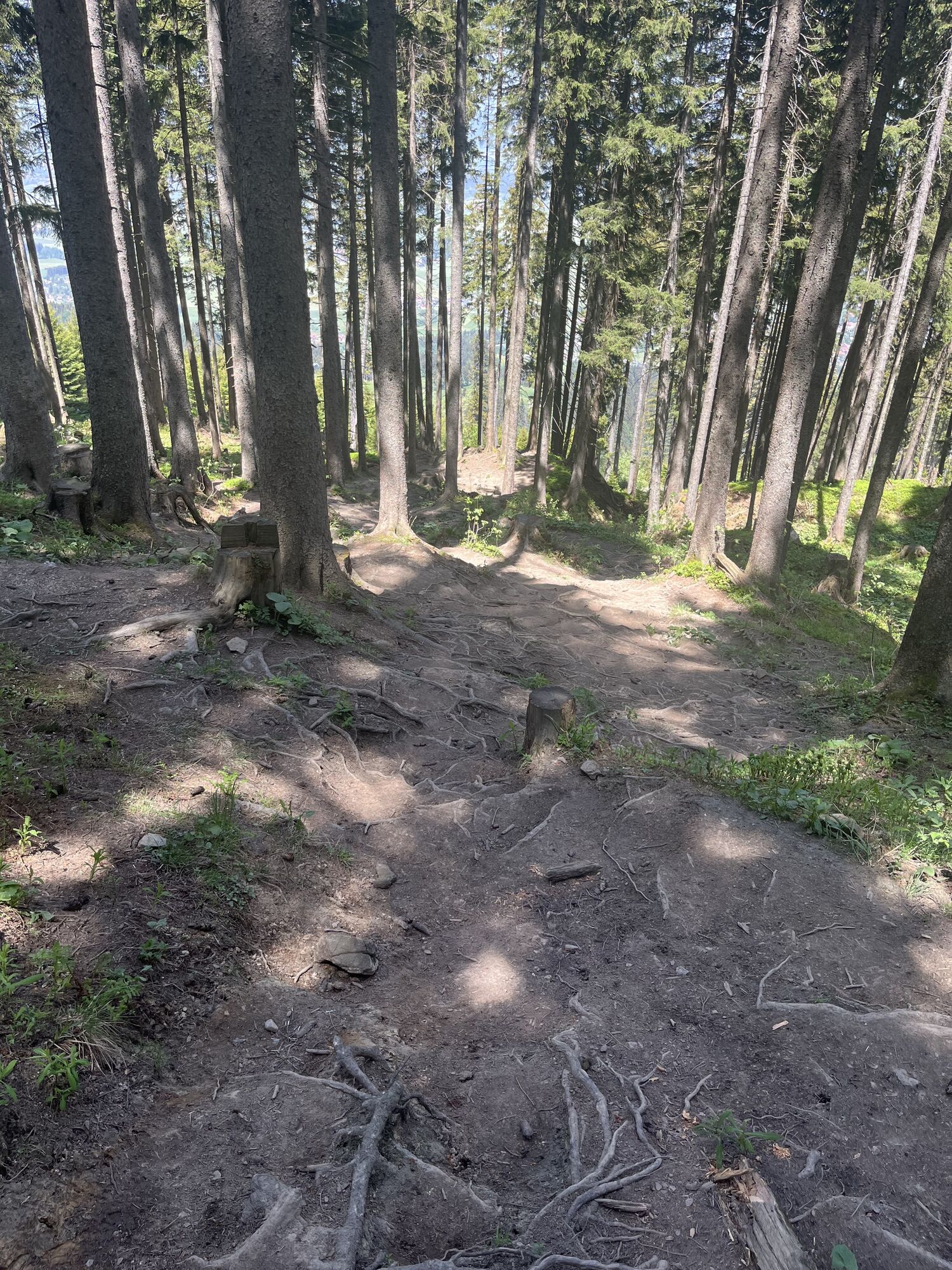
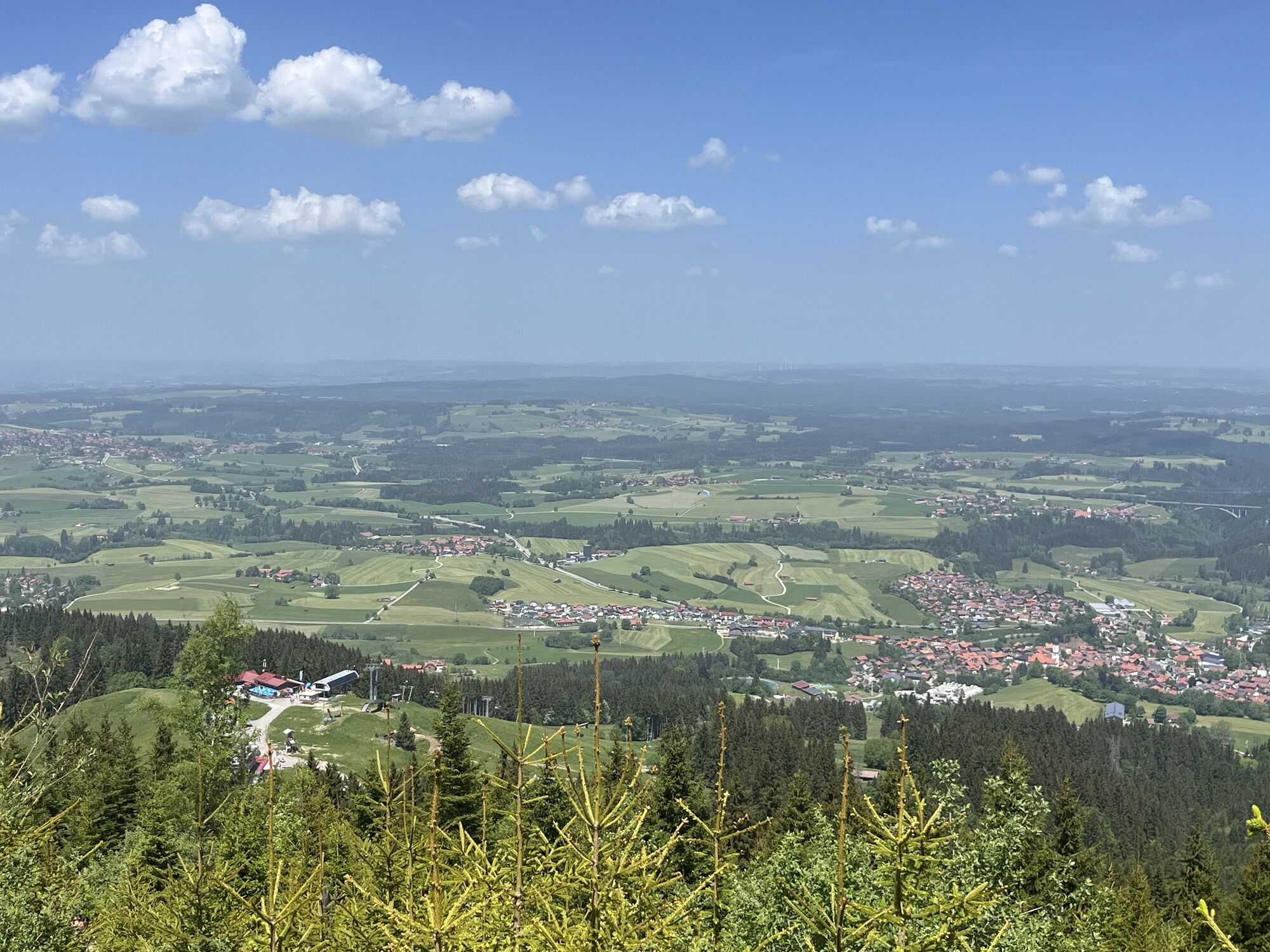
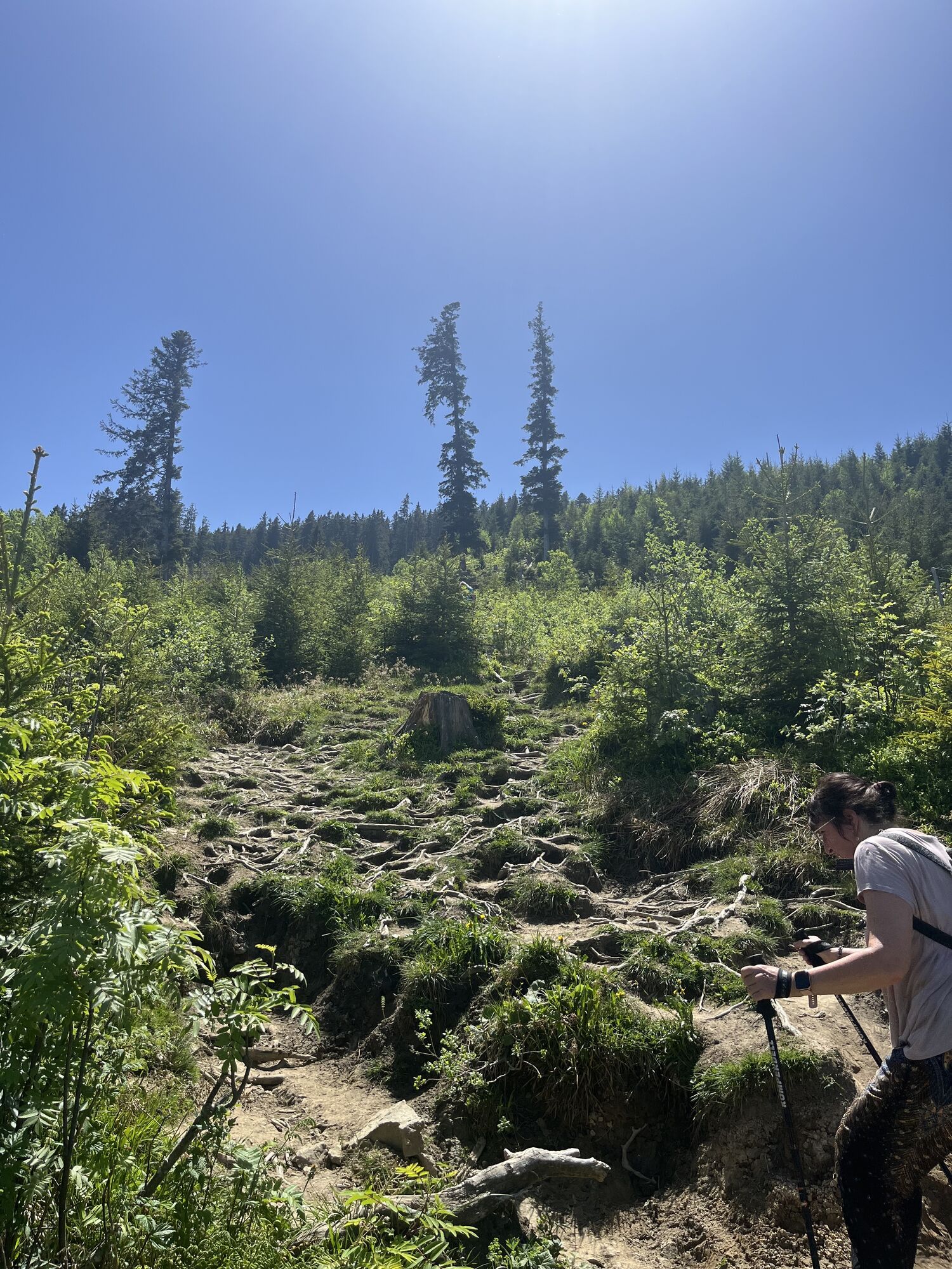
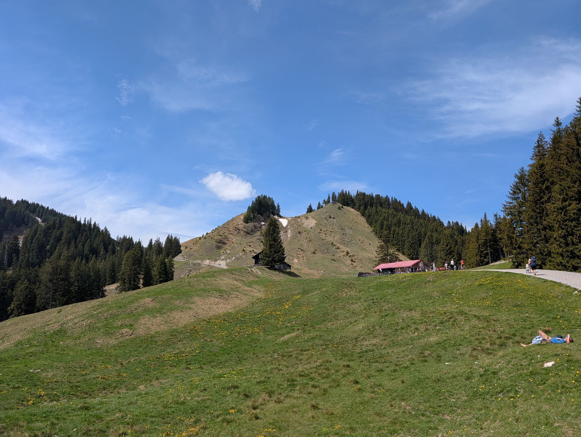
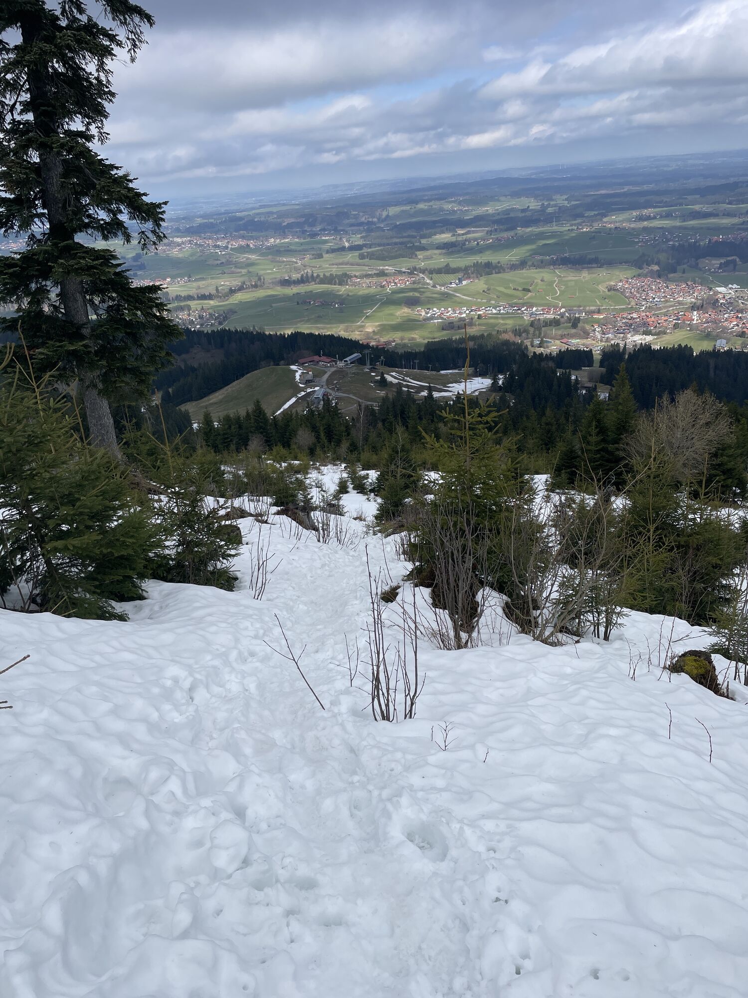
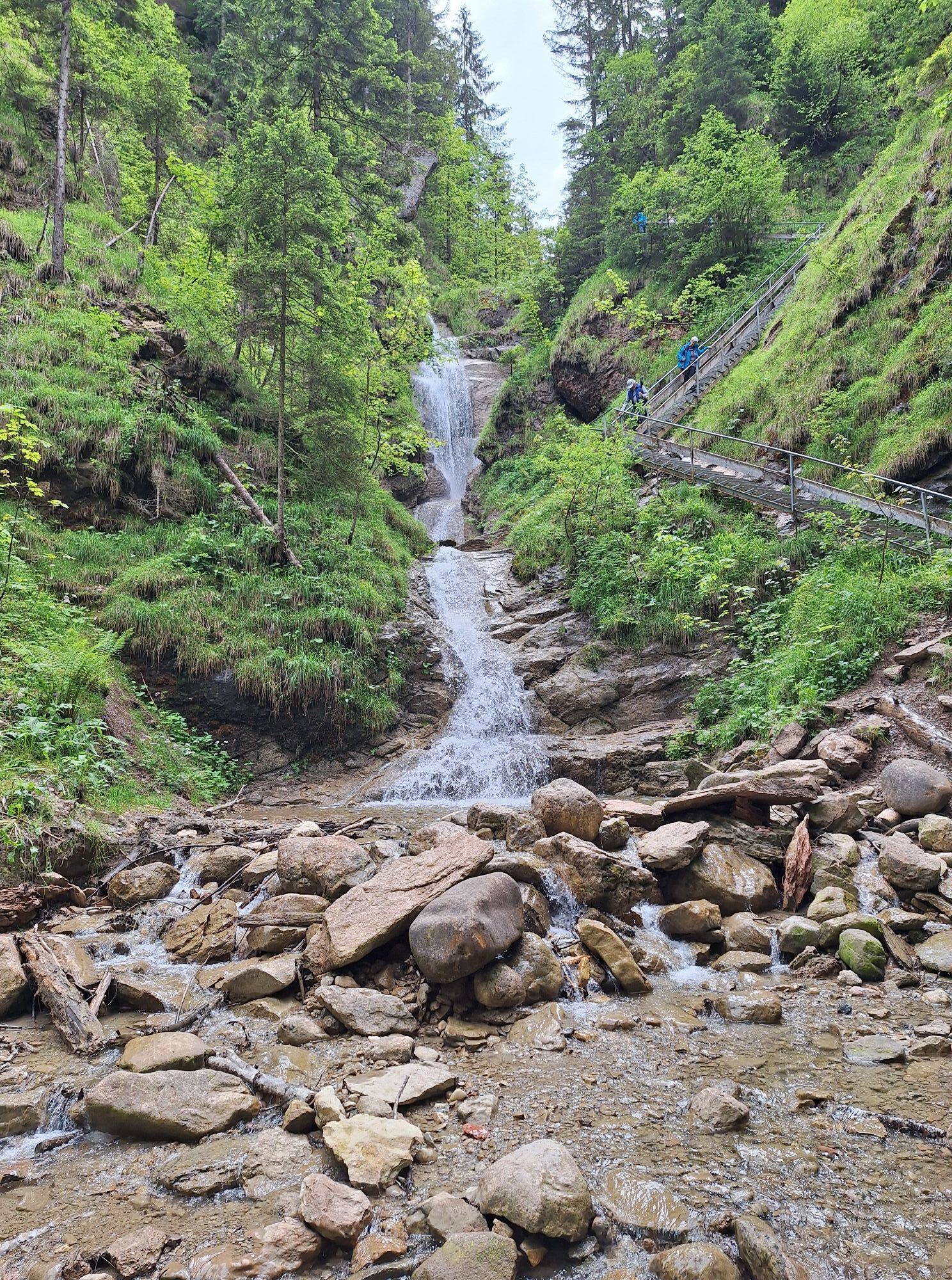
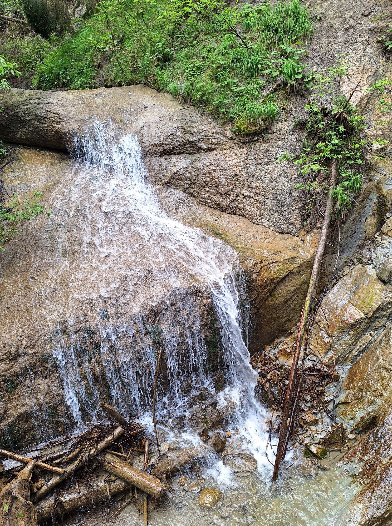
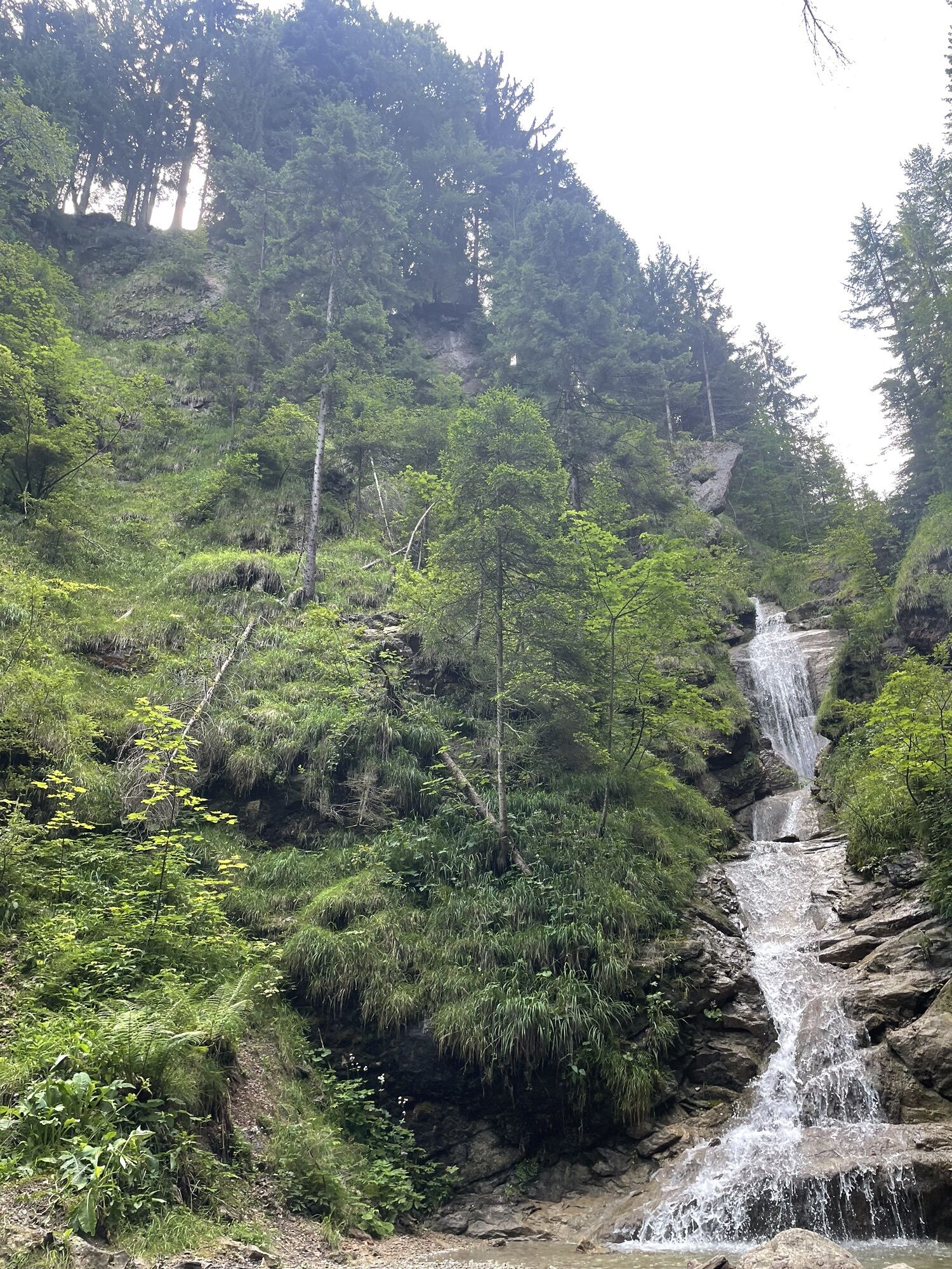
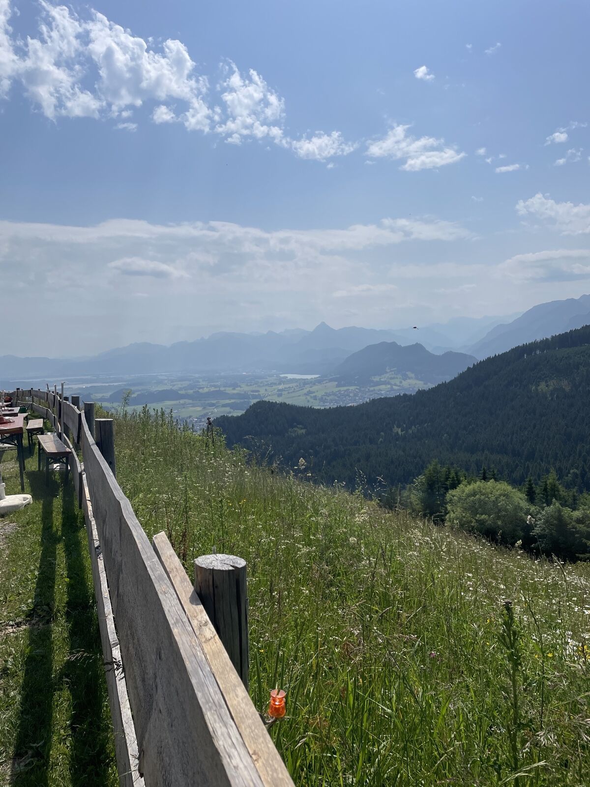
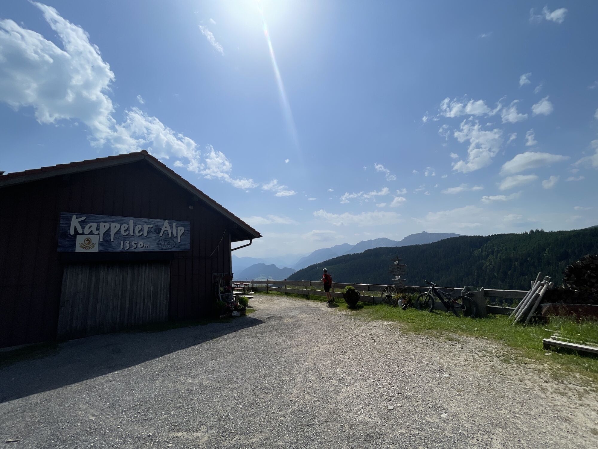
The loop hike begins at the Höllschlucht Forest Rope Course in Pfronten-Kappel. The trail follows the Kappeler Höhenweg to the neighboring town of Nesselwang. The ascent along the Wasserfallweg is a refreshing...
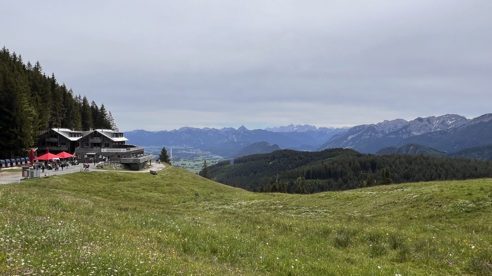
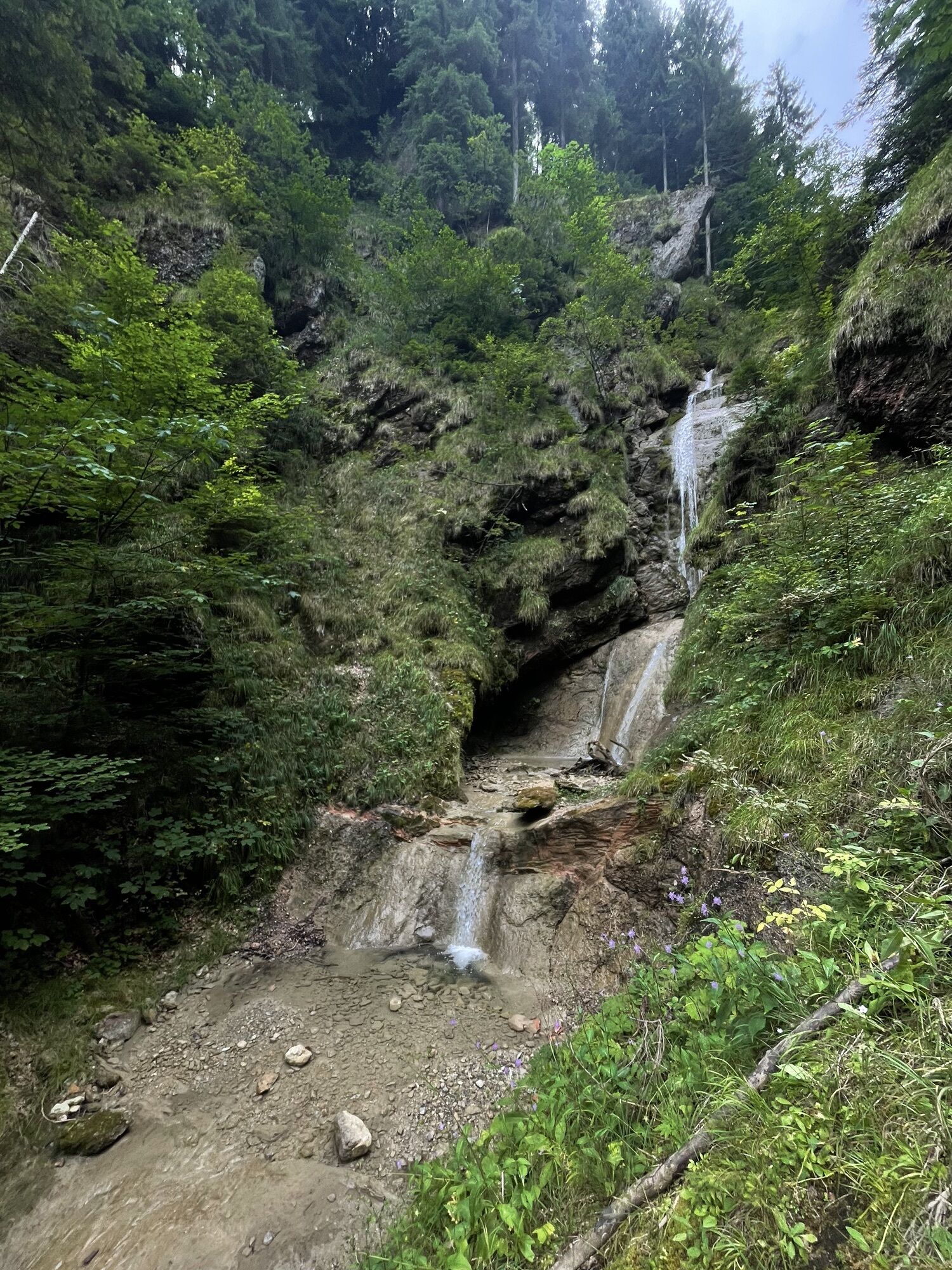
The loop hike begins at the Höllschlucht Forest Rope Course in Pfronten-Kappel. The trail follows the Kappeler Höhenweg to the neighboring town of Nesselwang. The ascent along the Wasserfallweg is a refreshing destination, especially in the summer. You’ll hike along the water to your first stop for refreshments at the Alpspitze, the Kronenhütte. After a refreshing drink, you’ll continue straight on to the next sun terrace. At the Enzianstube, located near the midway station of the Alpspitzbahn, homemade dishes made with regional ingredients await to fortify you for another climb. This climb takes you below the cable car to just below the summit of the Alpspitze, where the Sportheim Böck invites you to stop for a break. The descent takes you past the popular Kappeler Alp along the Wiesenweg trail. Alternatively, a forest trail leads back to the starting point from the Kappeler Alp. In wet weather, the route along the Wiesenweg can become slippery.

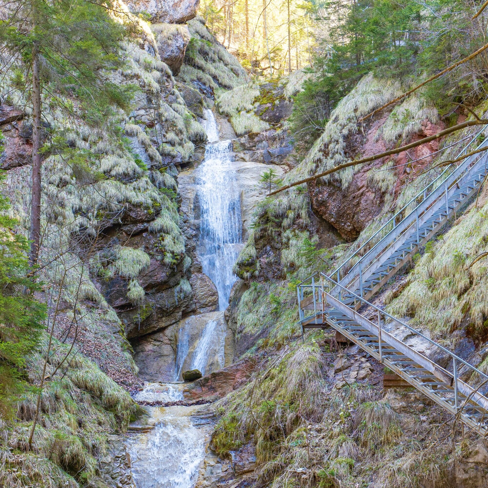
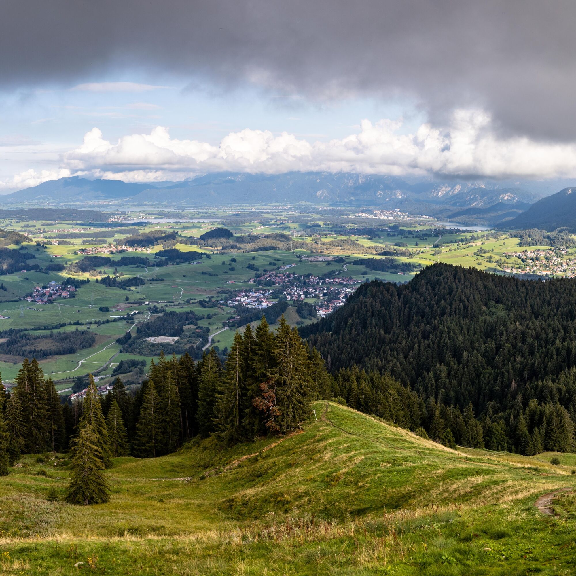
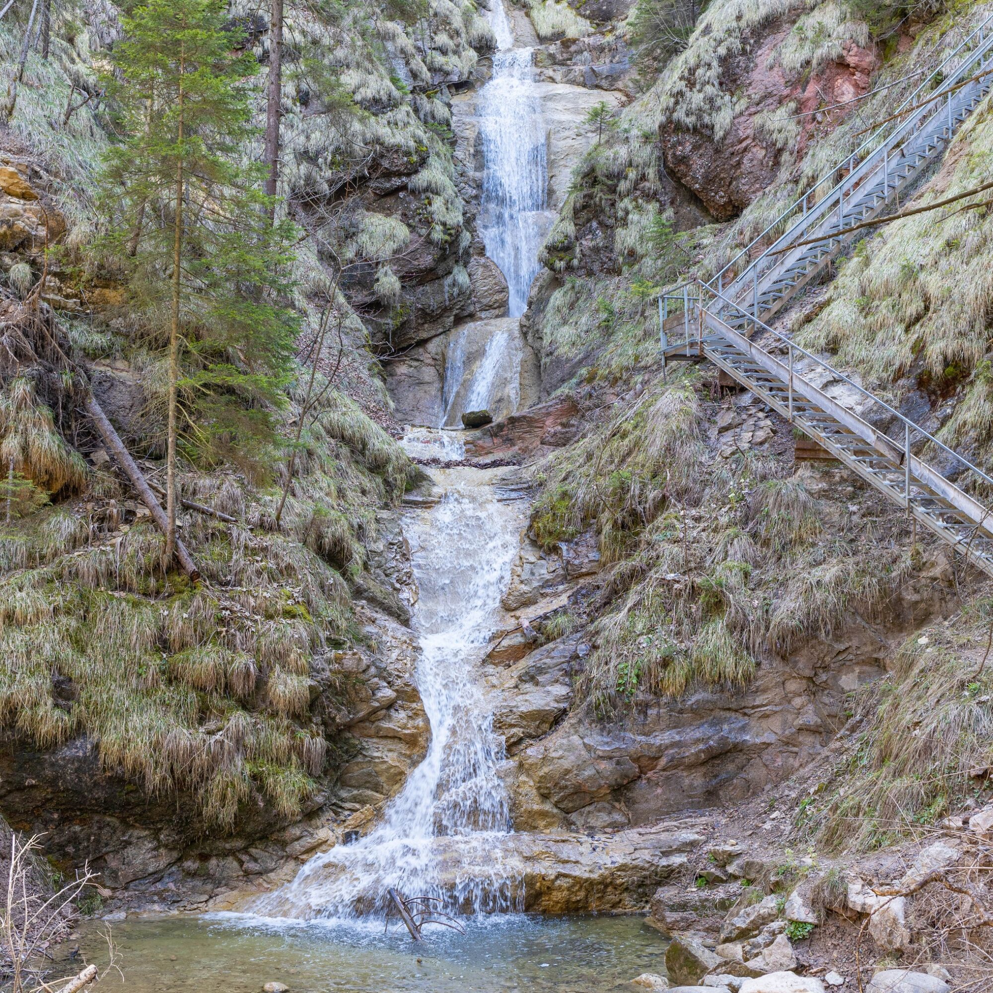
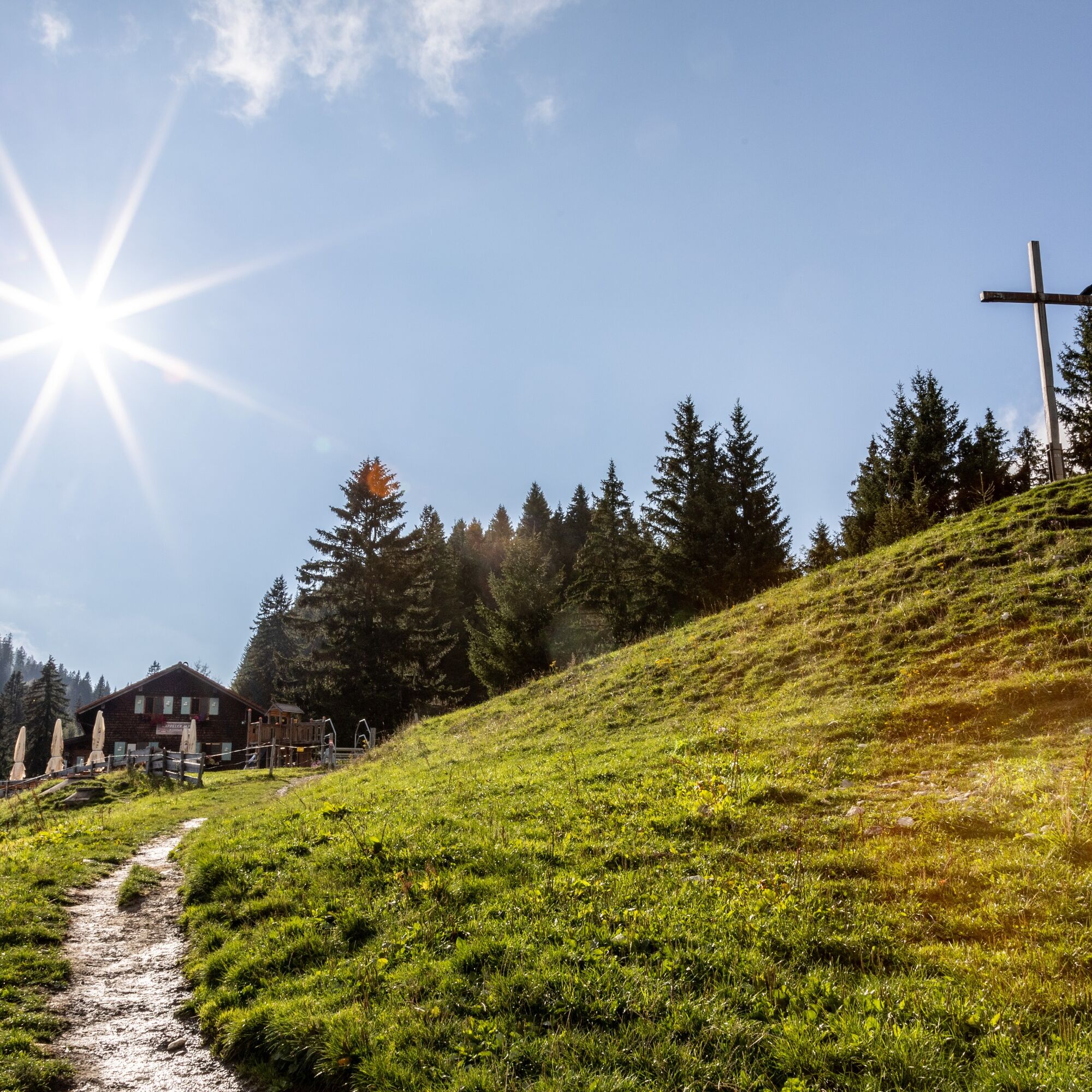

From the parking lot, the trail leads along the Kappeler Höhenweg to Nesselwang. Follow the Wasserfallweg trail to the Kronenhütte, the Enzianstube, and the Sportheim Böck, before descending via the Kappeler Alp and the Wiesenweg (or alternatively, the forest trail—especially in bad weather) back to the starting point.
Since the trail runs alongside a waterfall and across a meadow path, be sure to wear sturdy shoes.
In gorges, water flowing down from higher elevations can lead to dangerous flooding, so caution is advised during bad weather and heavy rain.
Designated hiking parking lots are available in Pfronten-Kappel.
T2
Alternatively, a forest trail also leads back to the starting point from the Kappler Alp. In wet weather, the meadow trail can be slippery.
 Uzyskaj wgląd
Zawsze na żywo z ponad 9 500 kamer internetowych. bergfex Jako użytkownik Pro, możesz teraz zobaczyć odpowiednie kamery internetowe dla wielu wycieczek w aplikacji wycieczki od. Pozwala to na bezpośredni podgląd aktualnych warunków.
Uzyskaj wgląd
Zawsze na żywo z ponad 9 500 kamer internetowych. bergfex Jako użytkownik Pro, możesz teraz zobaczyć odpowiednie kamery internetowe dla wielu wycieczek w aplikacji wycieczki od. Pozwala to na bezpośredni podgląd aktualnych warunków.
Popularne wycieczki w okolicy
-
4,9
Hiking tour to Breitenberg
ciężkiWędrówka 15,6 km -
4,7
Mountain hike to the Aggenstein
ciężkiWędrówka 15,3 km -
4,6
Around Weißensee
światłoWędrówka 6,12 km -
4,9
Gemeinde Grän, Tirol/Österreich Aggenstein Rundtour über Höhenweg
średniWędrówka 9,84 km -
4,8
Do schroniska Bad Kissinger Hütte przez Gräner Höhenweg
średniWędrówka 13,0 km -
4,7
Panorama route to the Ostlerhütte
średniWędrówka 5,11 km -
4,8
Iseler und Kühgundkopf
średniWędrówka 7,63 km -
4,7
3-Gipfel-Tour
średniWędrówka 11,2 km -
4,4
Wanderung auf den grünten
średniWędrówka 8,31 km -
4,1
Wanna Reuter
średniWędrówka 9,03 km
Wędrówki i tropienie


Nie przegap ofert i inspiracji na następne wakacje
Twój adres e-mail została dodana do listy mailingowej.





