


Seekarkreuz - Schönberg - Roß and Buchstein


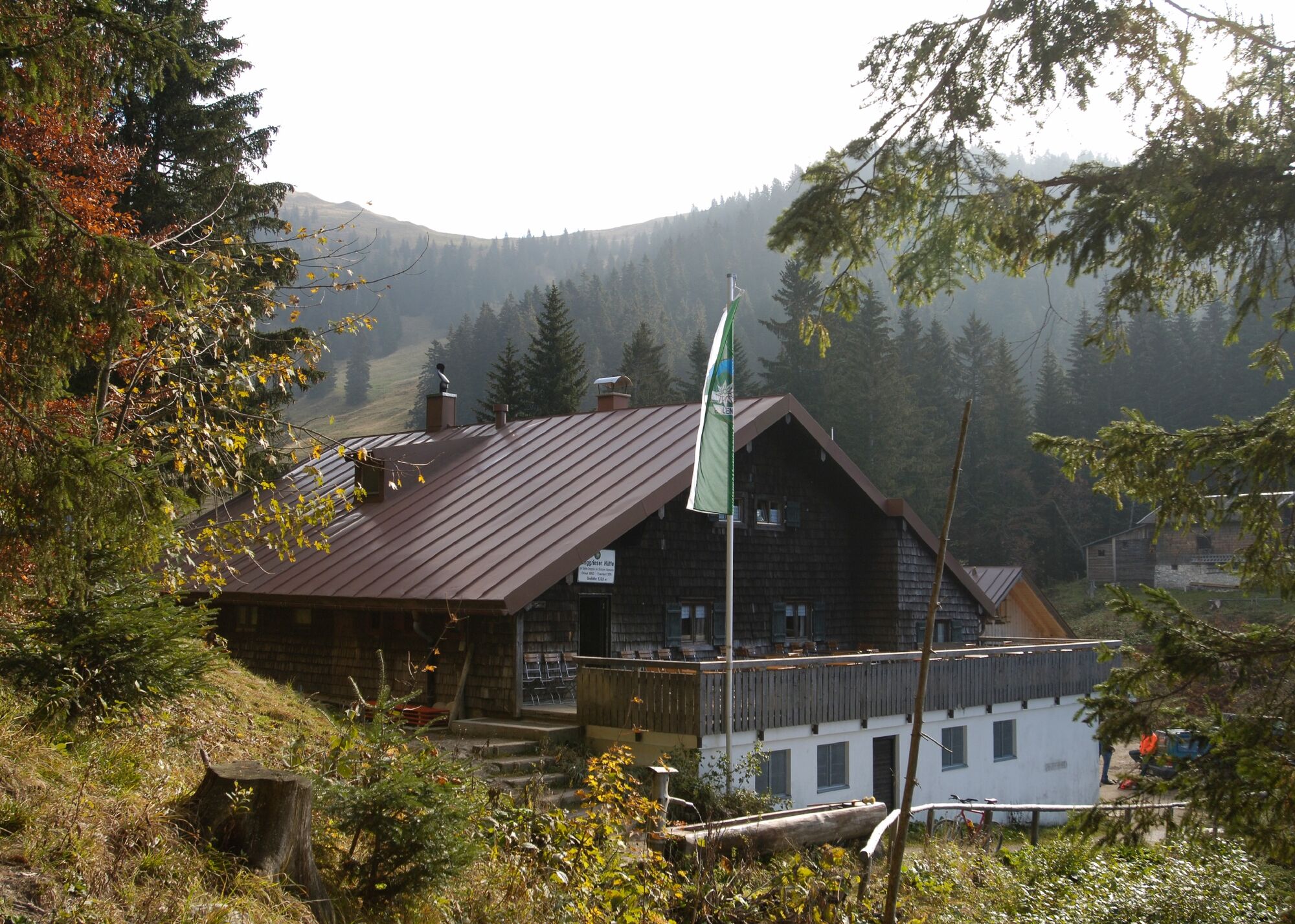
The route can be combined with an overnight stay at Lenggrieser Hut, Tegernsee Hut, or Buchstein Hut.
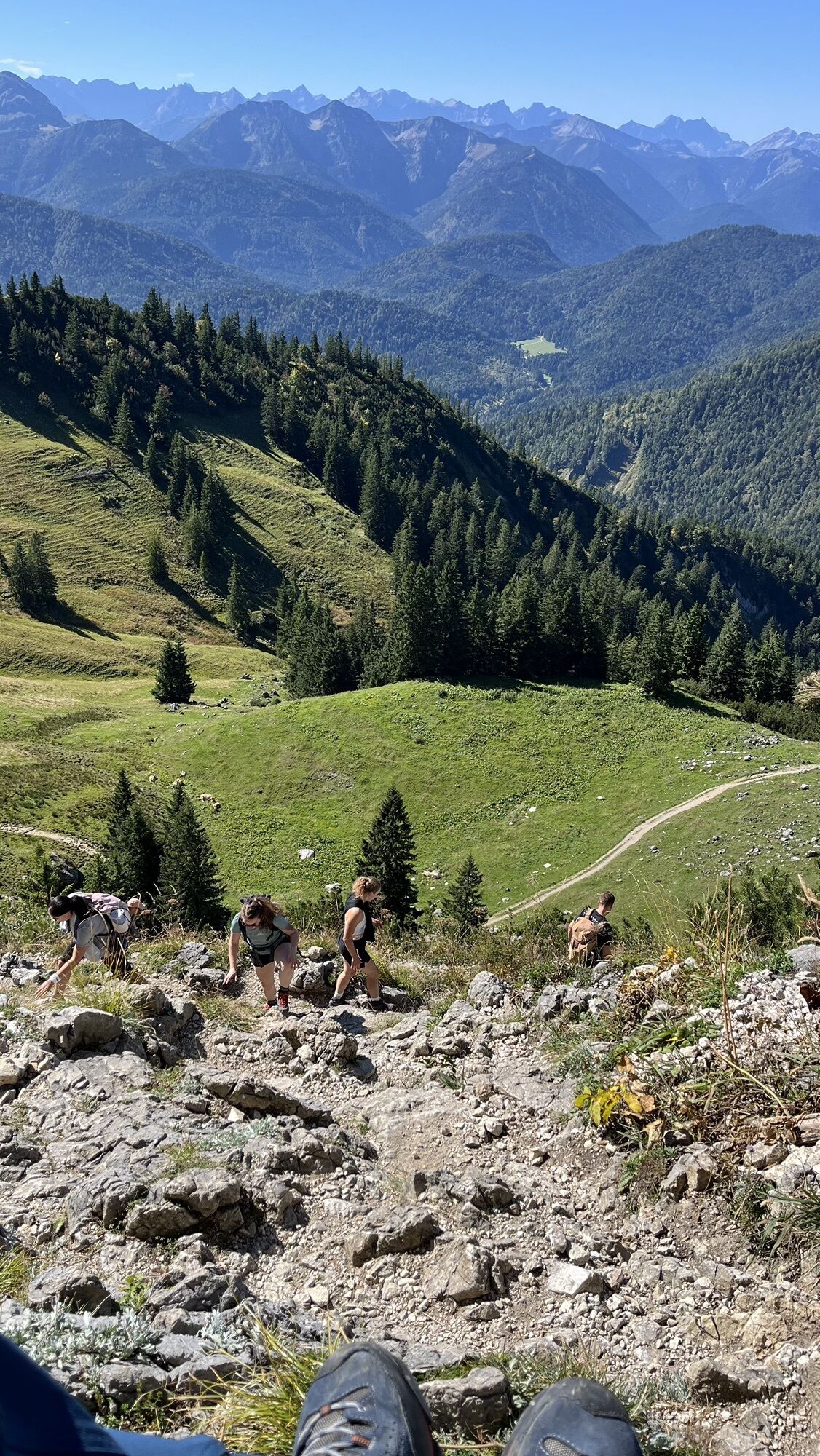
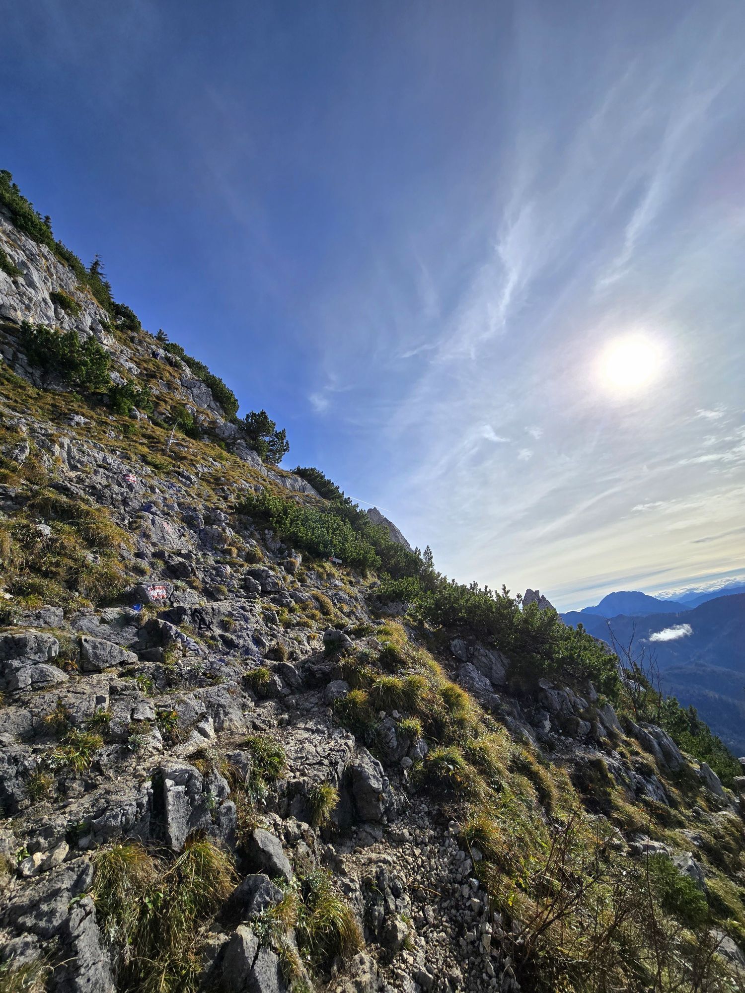
Even if the path over Seekarkreuz up to under the rocks of Roß and Buchstein presents no difficulties,...
The route can be combined with an overnight stay at Lenggrieser Hut, Tegernsee Hut, or Buchstein Hut.
Even if the path over Seekarkreuz up to under the rocks of Roß and Buchstein presents no difficulties, one should not underestimate the long route.
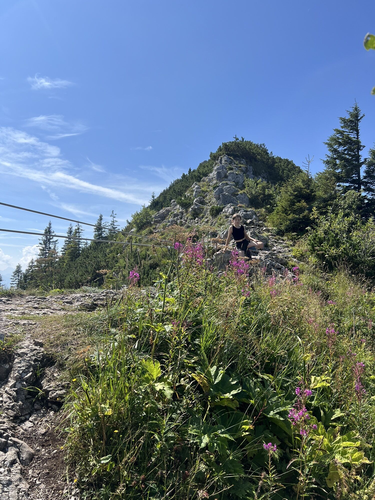
The southern ascent to Tegernsee Hut requires surefootedness and a head for heights.
Scenic summits:
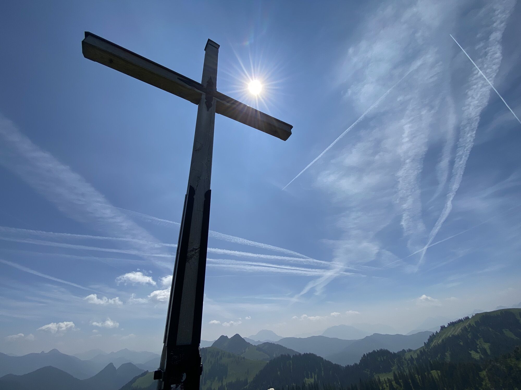
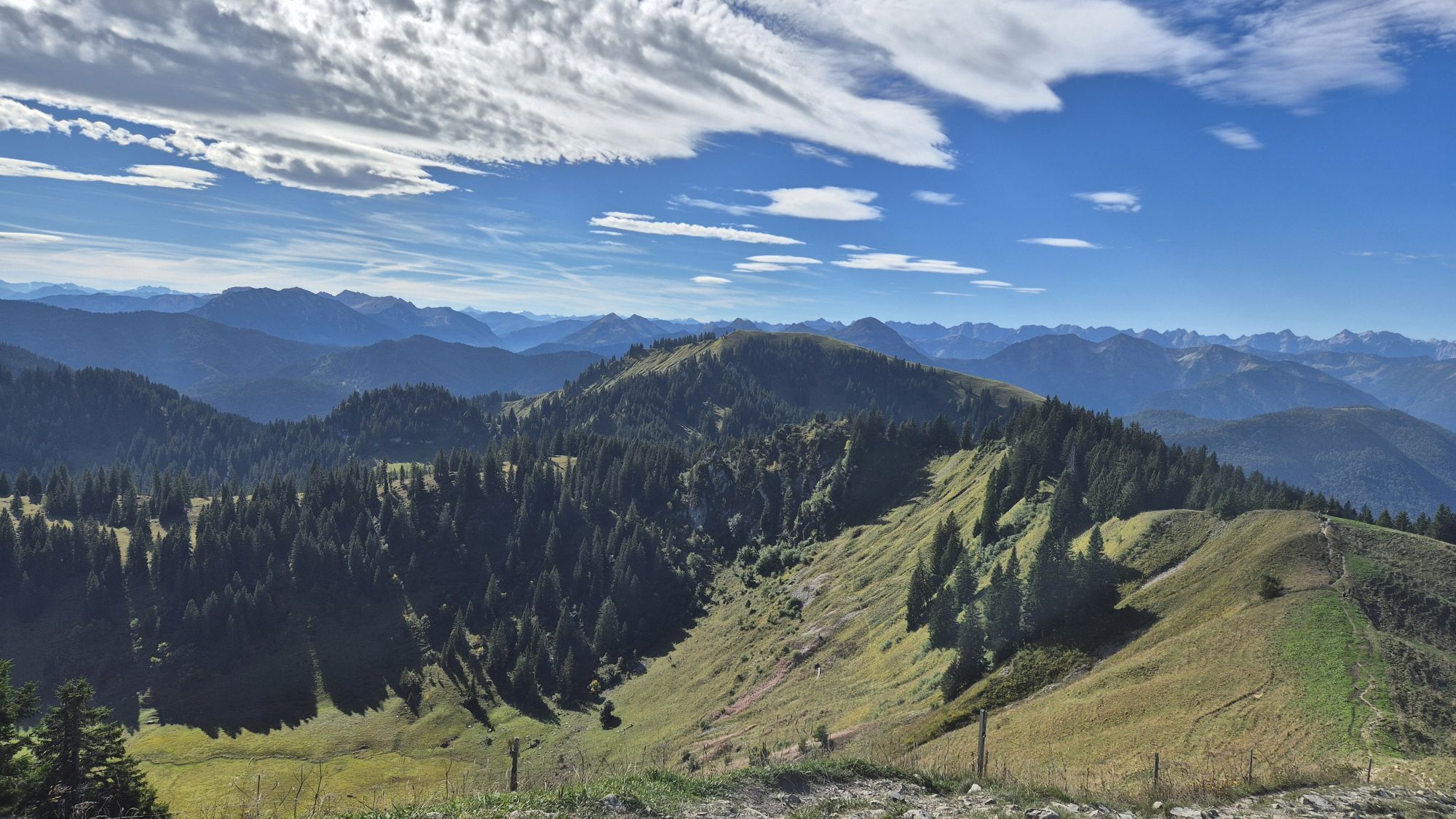
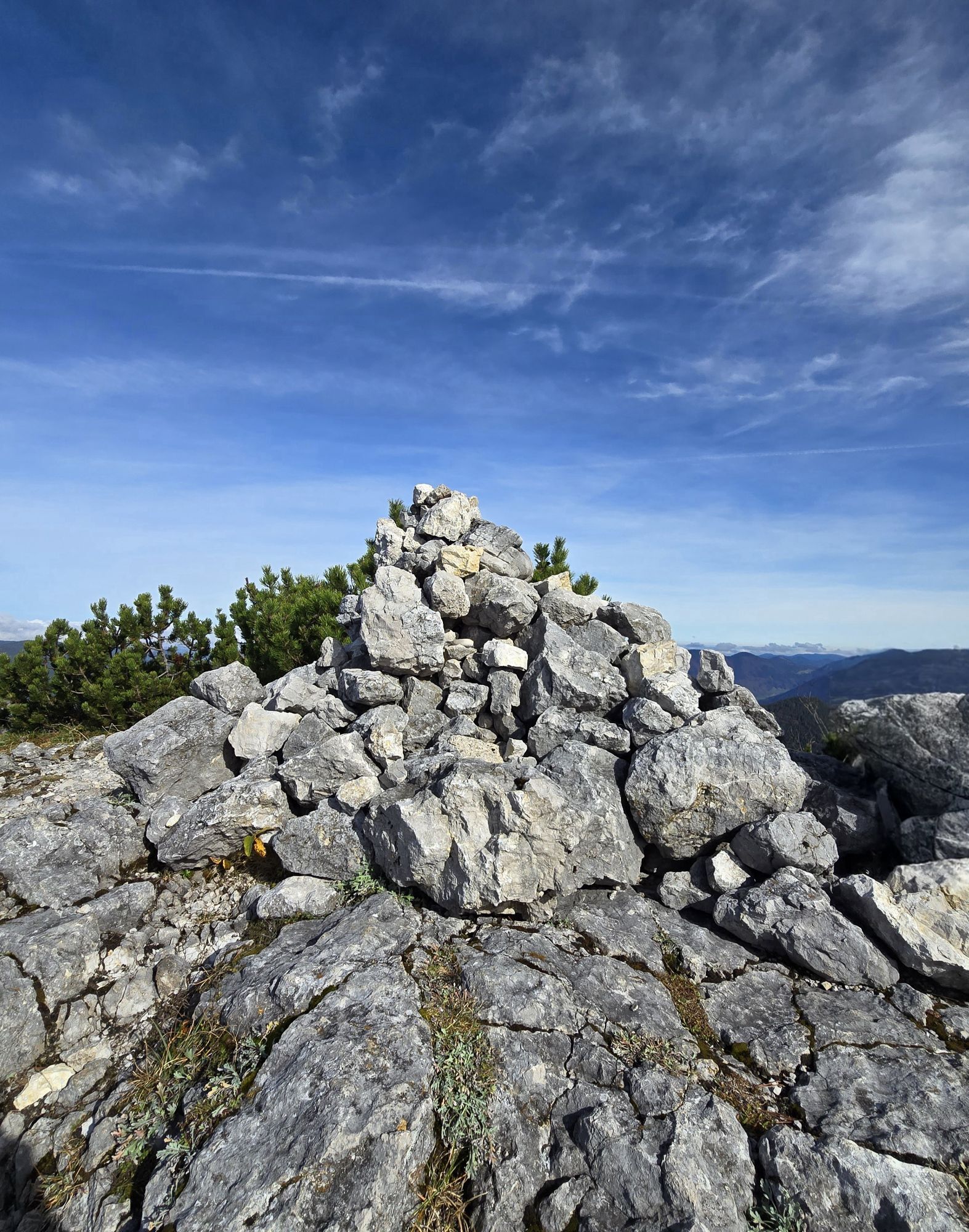
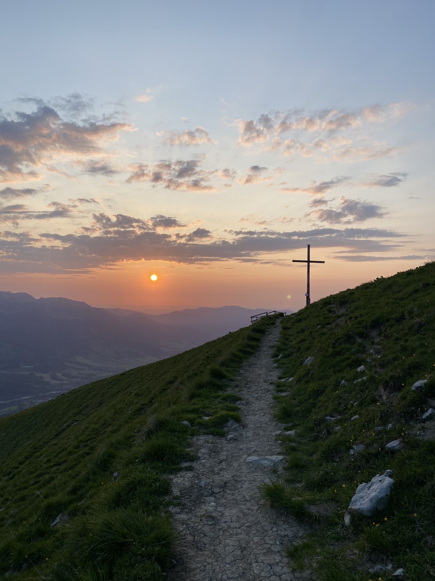
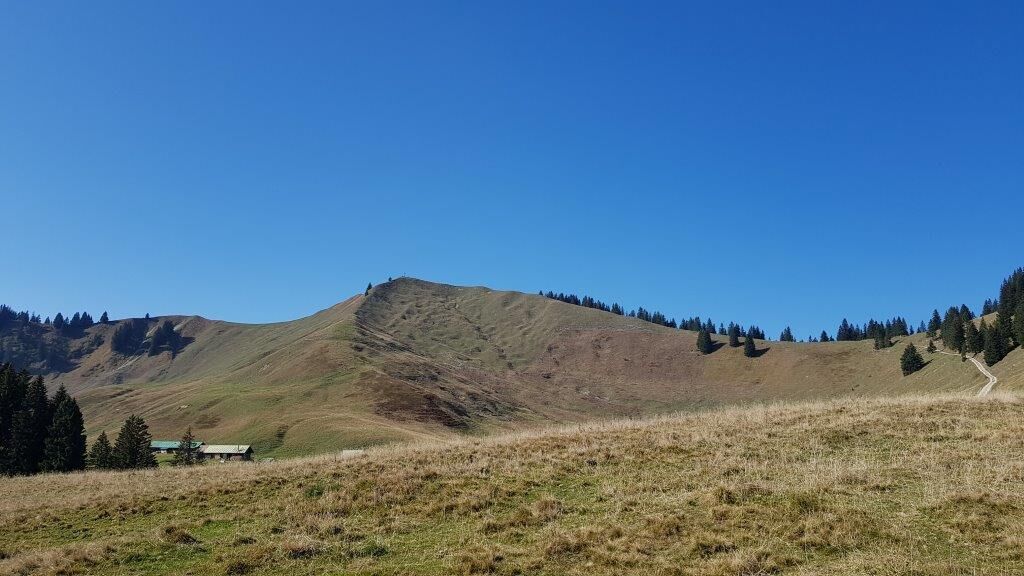
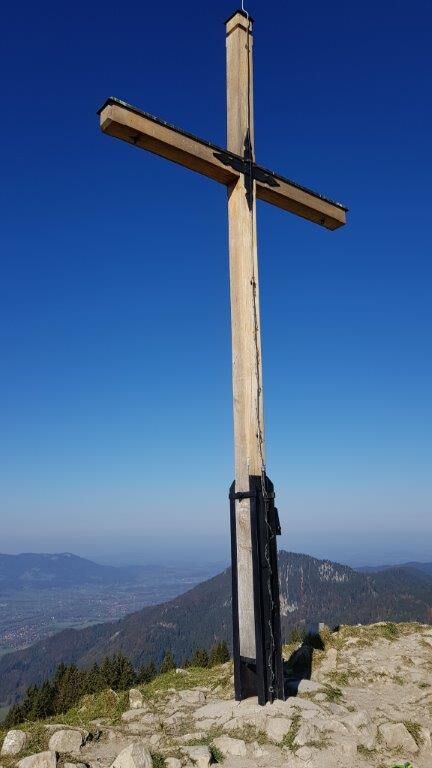
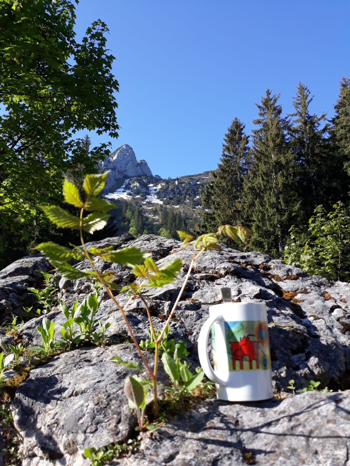
Seekarkreuz
Schönberg
Roß and Buchstein
Additionally with Kampen variant:
Ochsenkamp
Spitz and Auerkamp

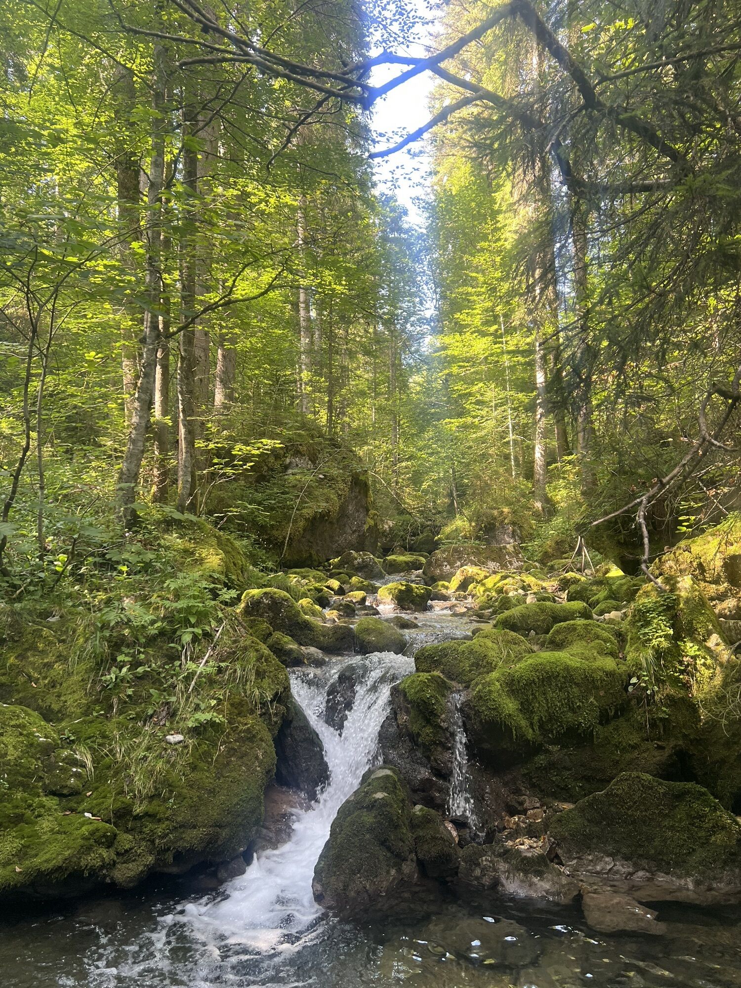
After the starting point (814m), we follow the forest road for a short distance before trail no. 604 heading towards Schwarzentennalm crosses to the left side of the Schwarzenbach.
About 800m after Schwarzentennalm (1027m), we turn left onto the Via Alpina (trail 606) towards Seekarkreuz (Silberkopf).
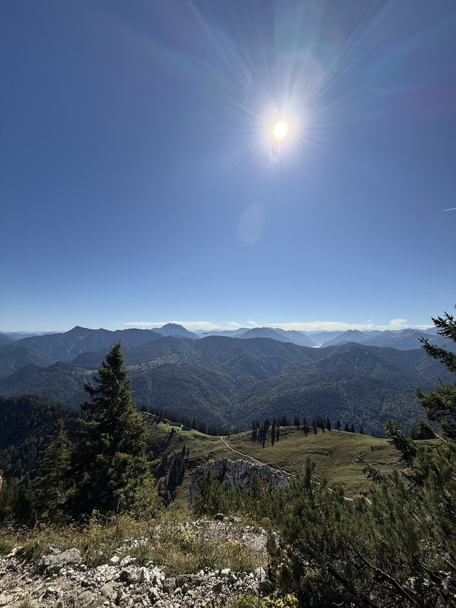
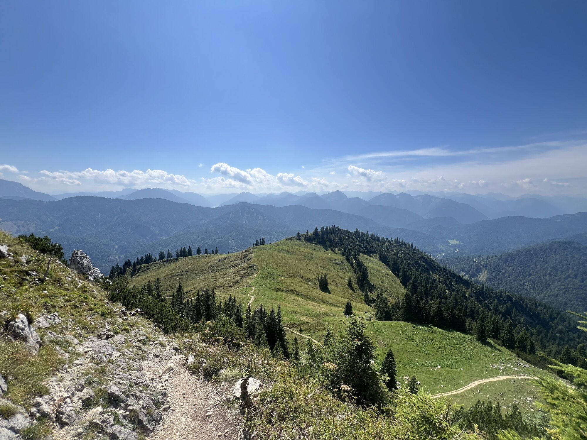
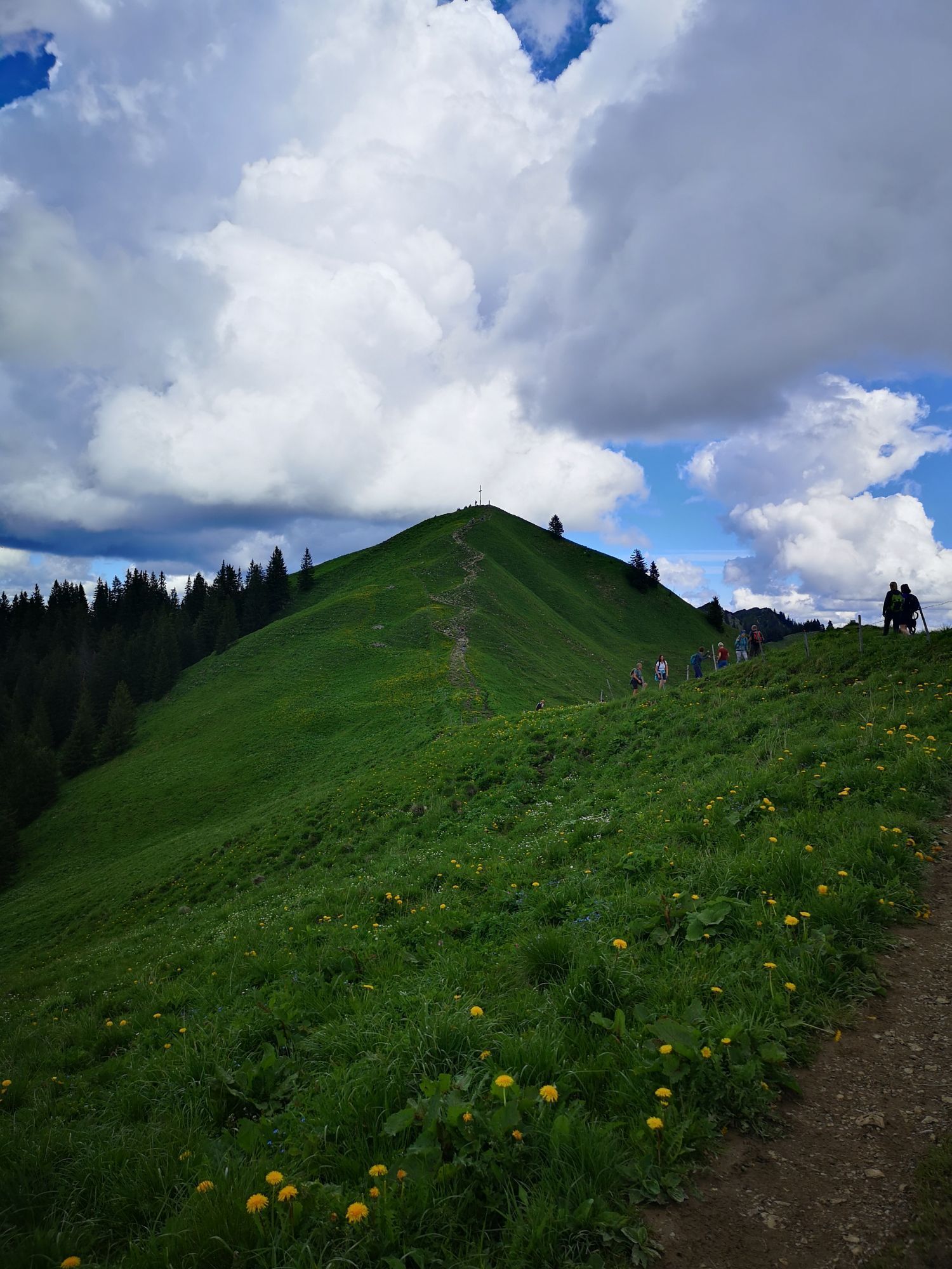
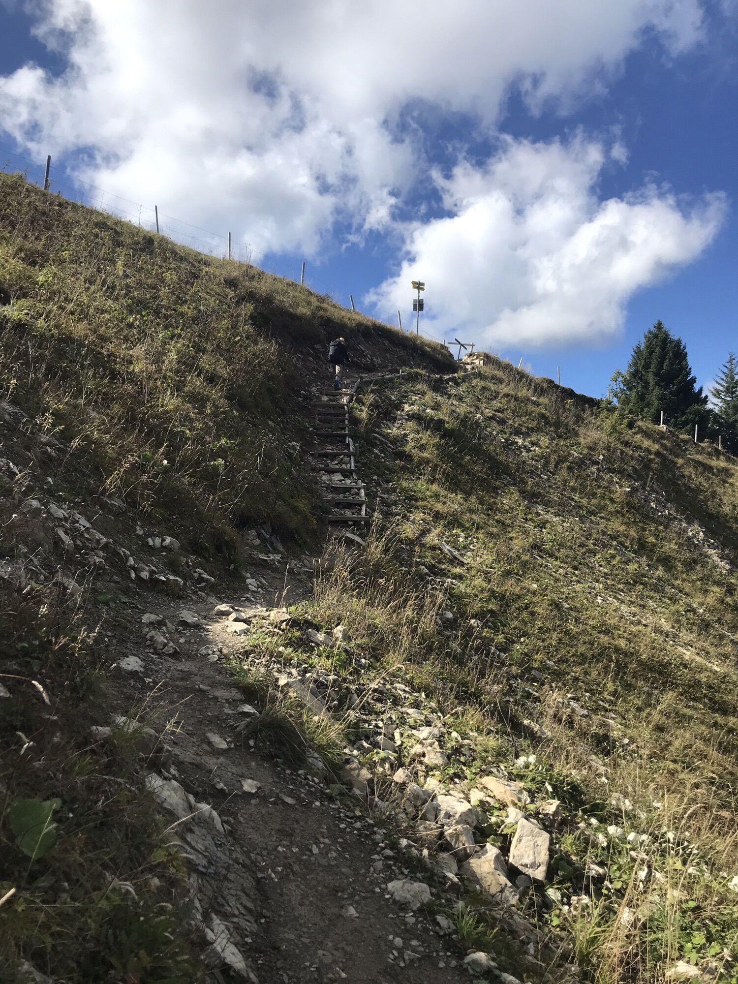
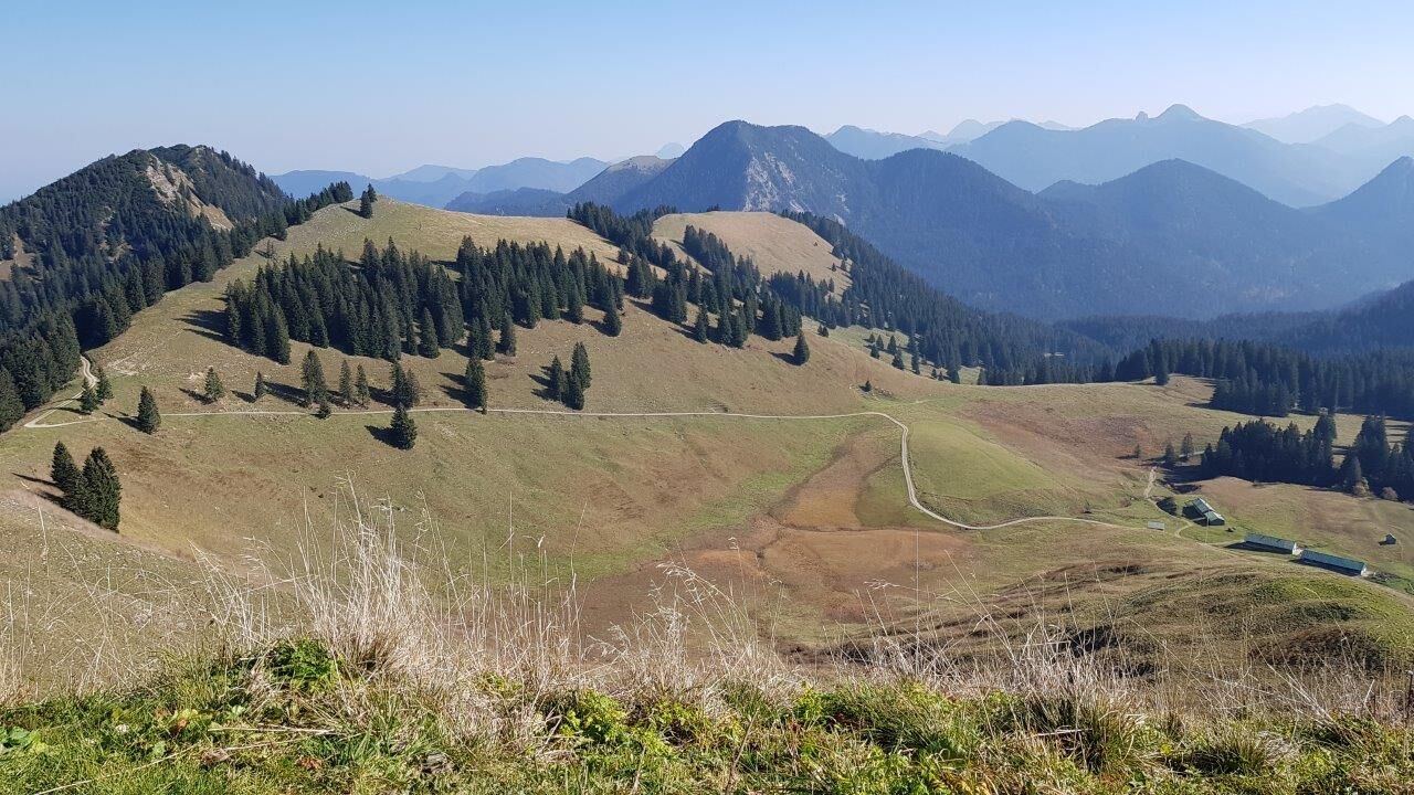
Initially still on a forest road steadily uphill, the trail soon turns right into the forest and goes over meadow slopes, past Rauhalm to Seekarkreuz (1601m).
After the first summit we continue first on the little used trail no. 622, then on 621 to Mariaeck (1469m).
Variant 1:
We branch right onto path 624 to Schönberg (1620m) and return over Amperthal Alm to the original route.
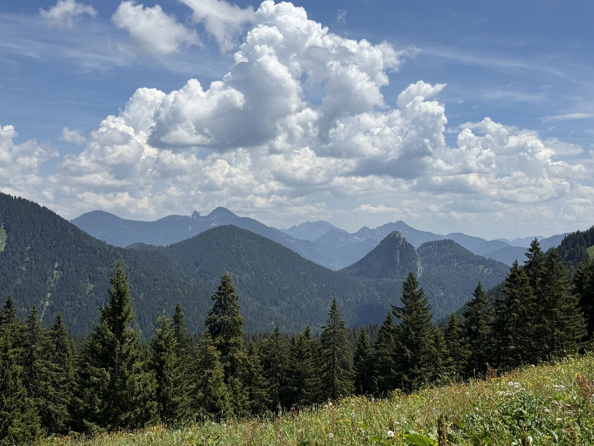
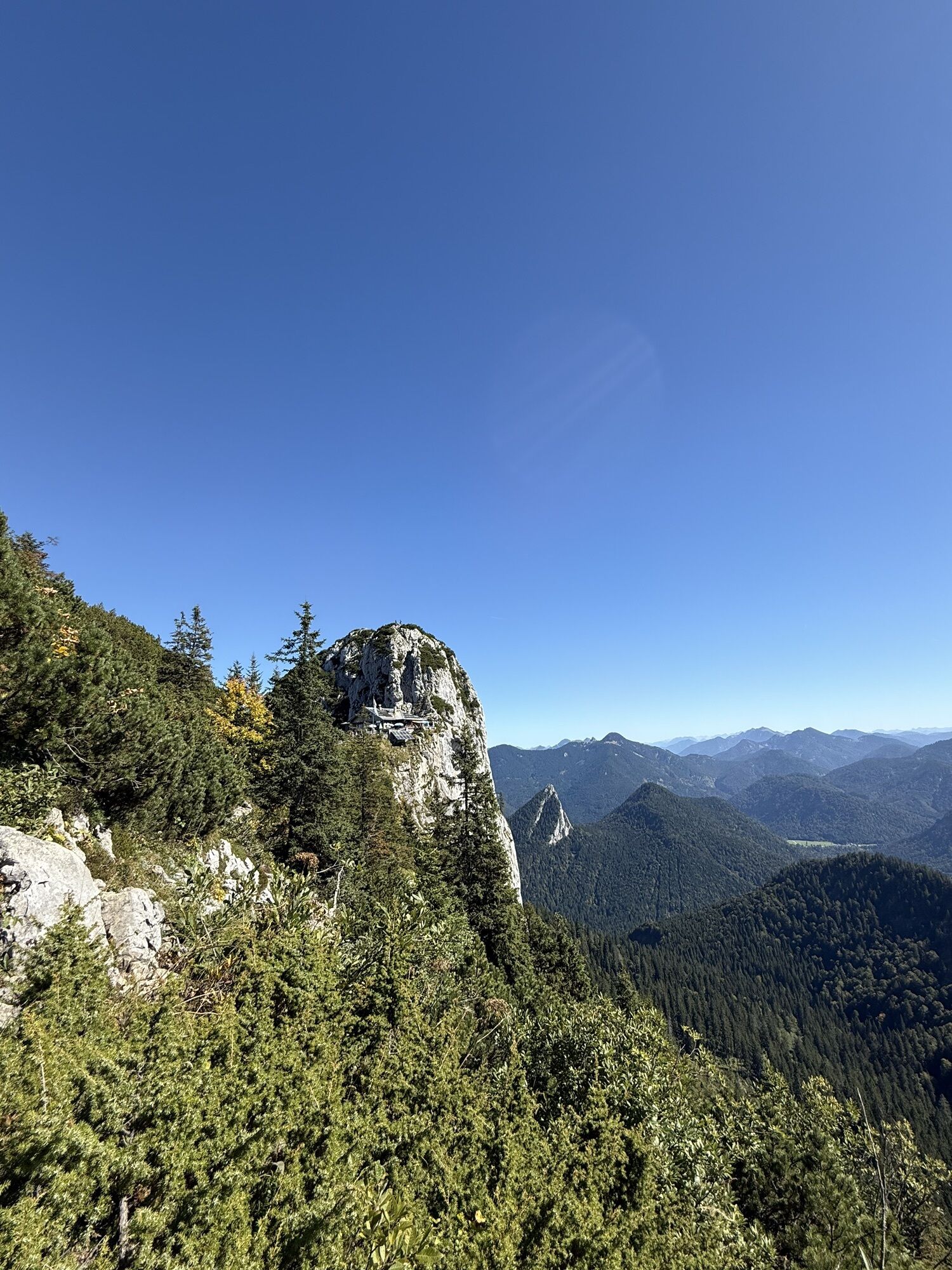
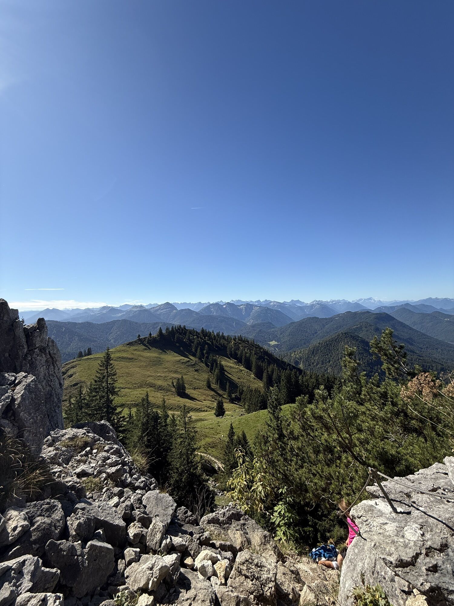
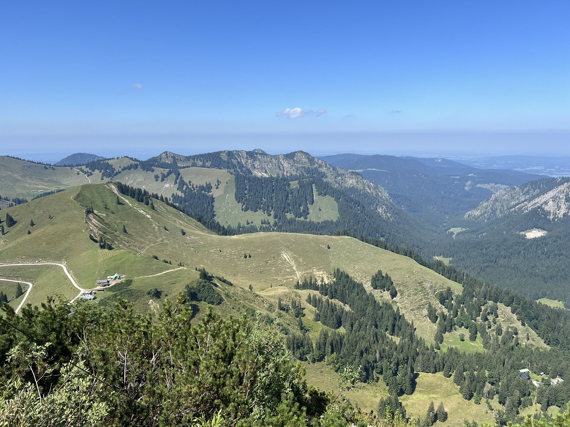
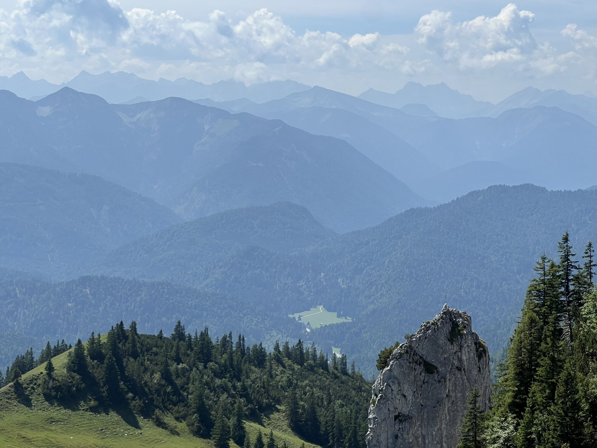
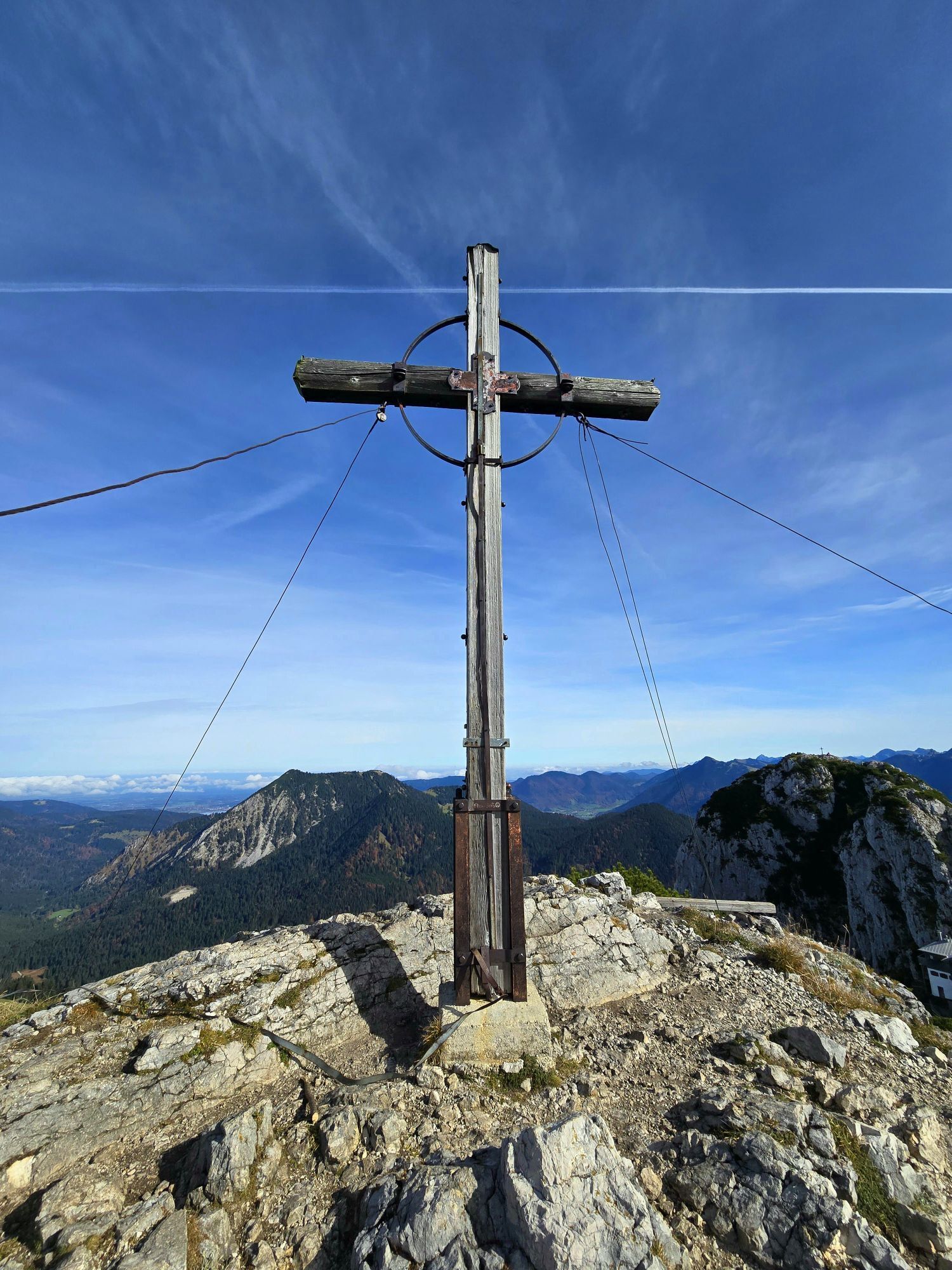
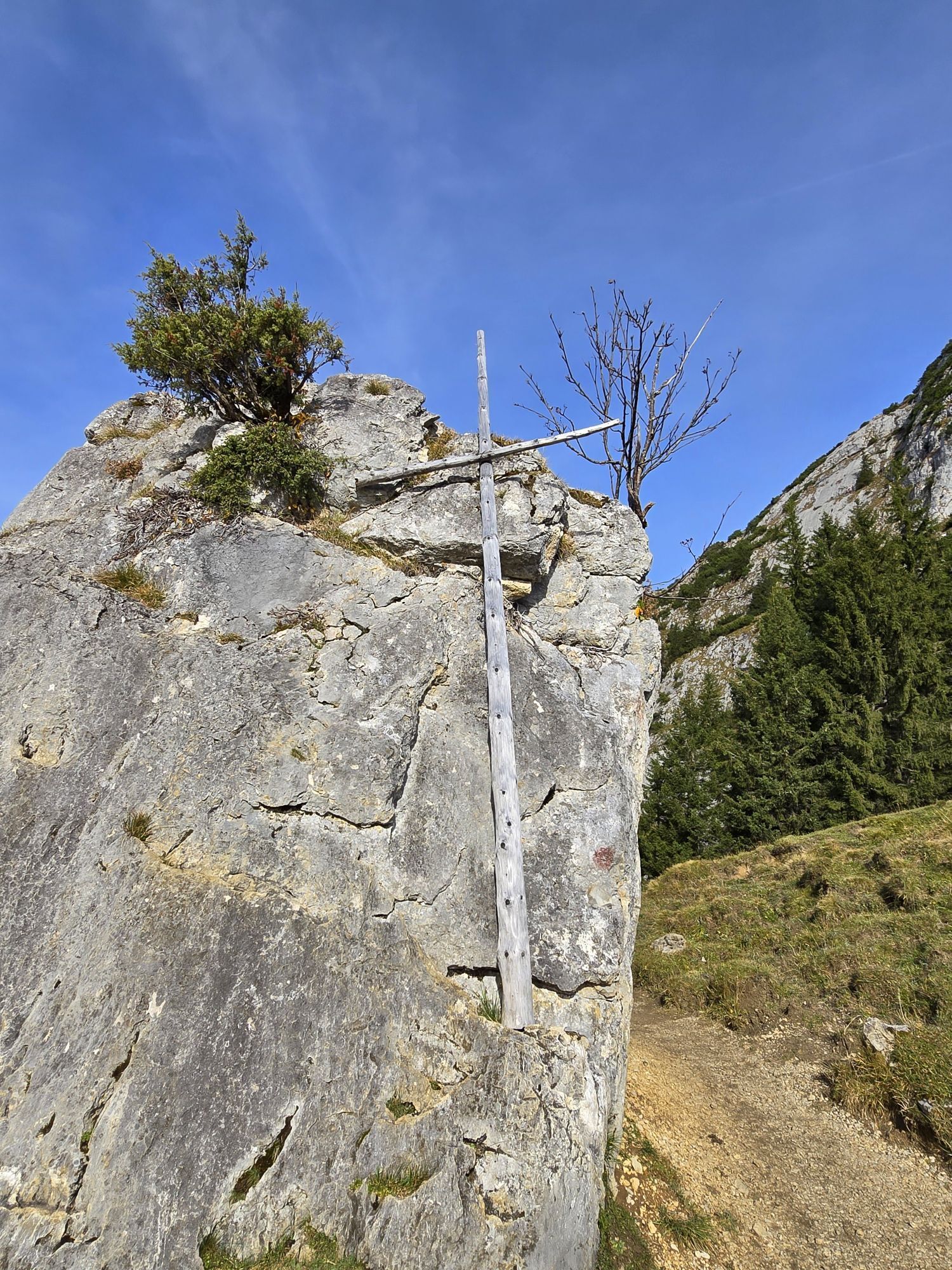
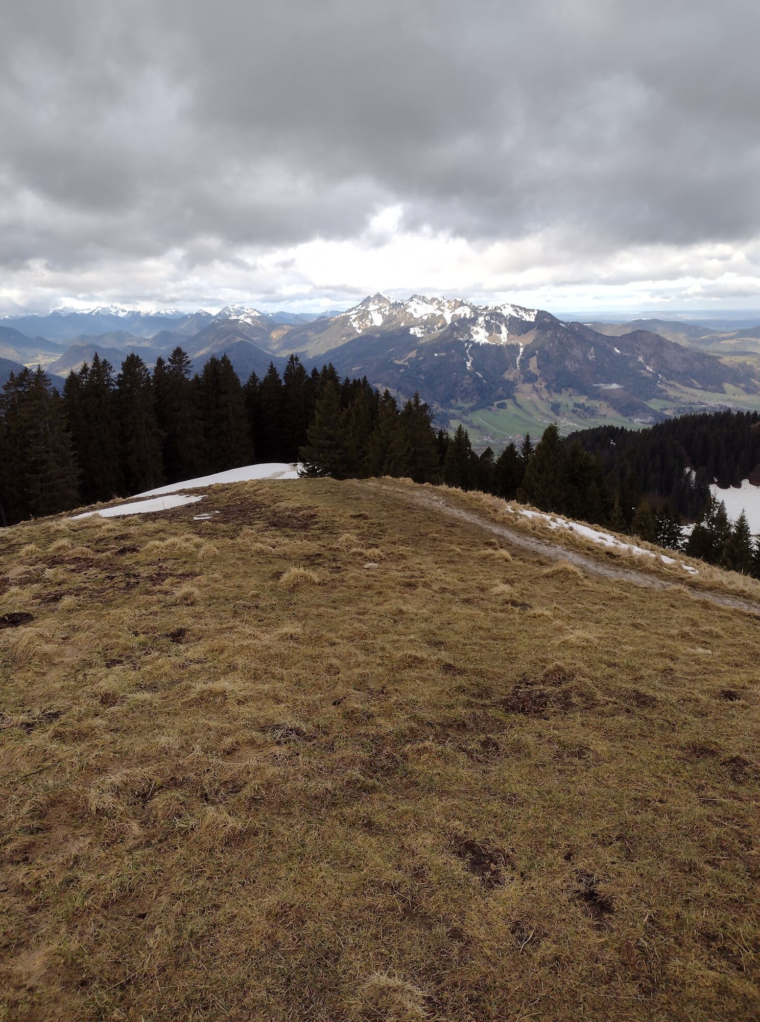
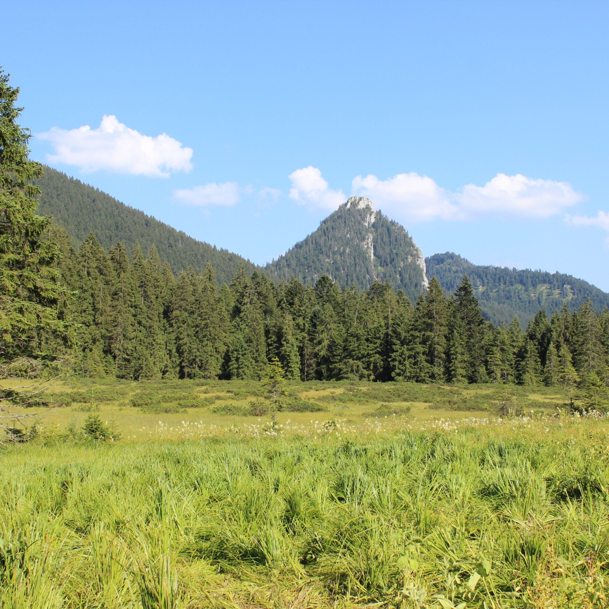
From Schönberg, there is a fantastic view of the surrounding mountains and the Roß and Buchstein.
Variant 2:
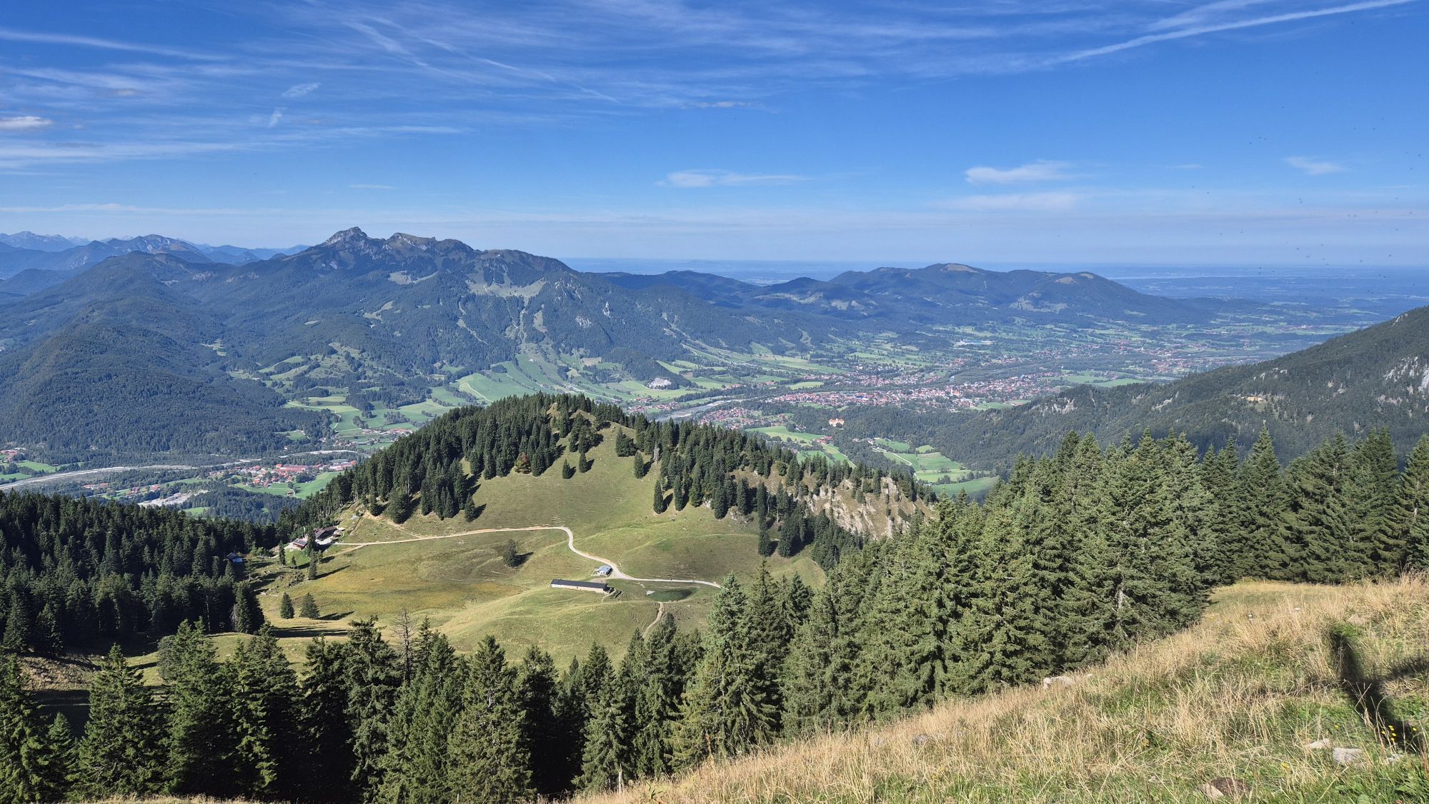
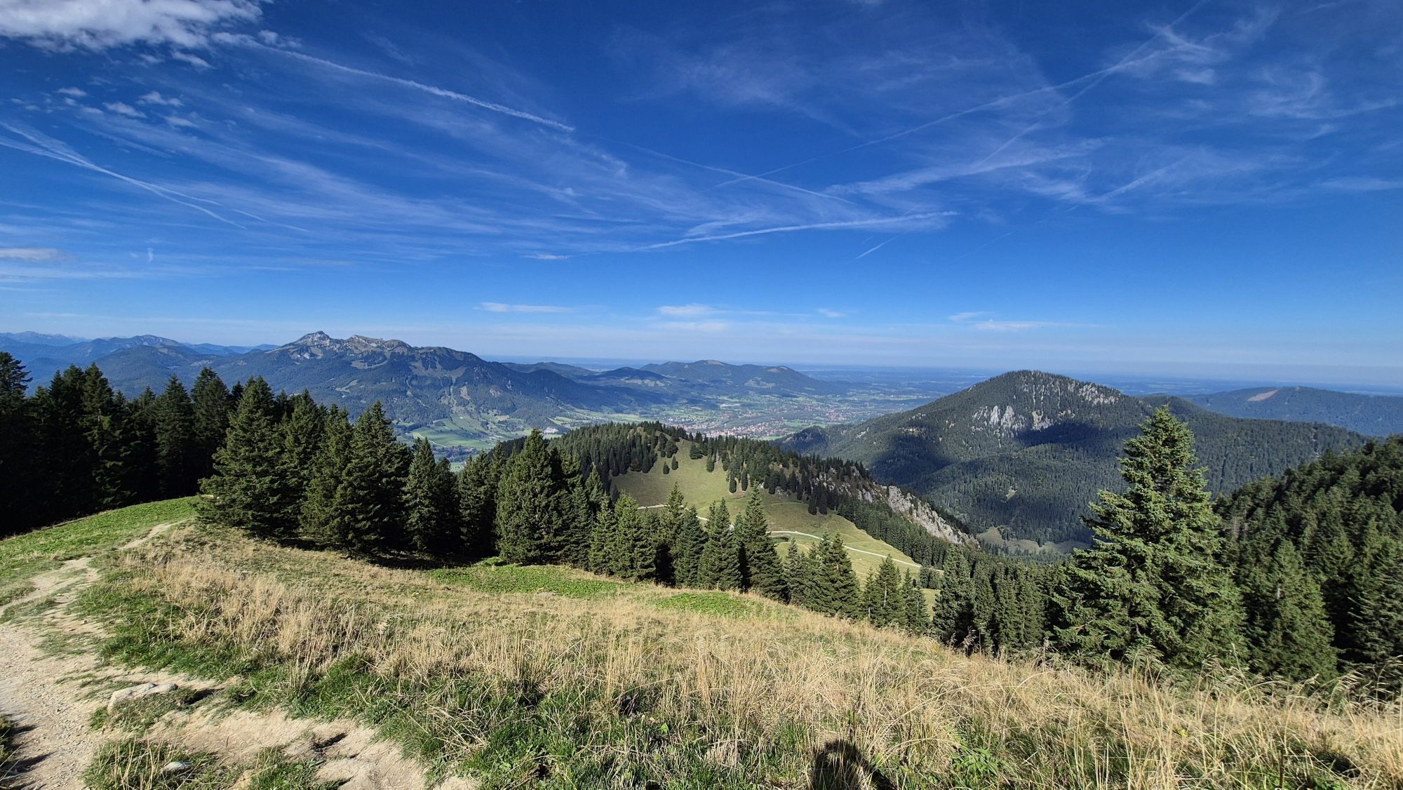
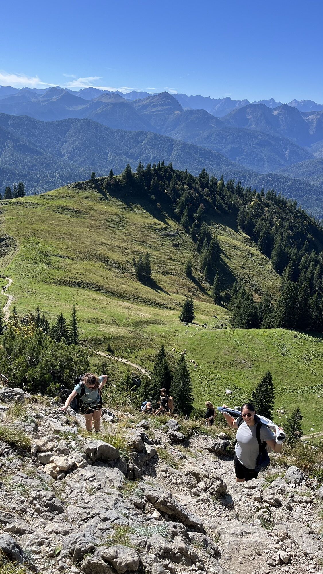
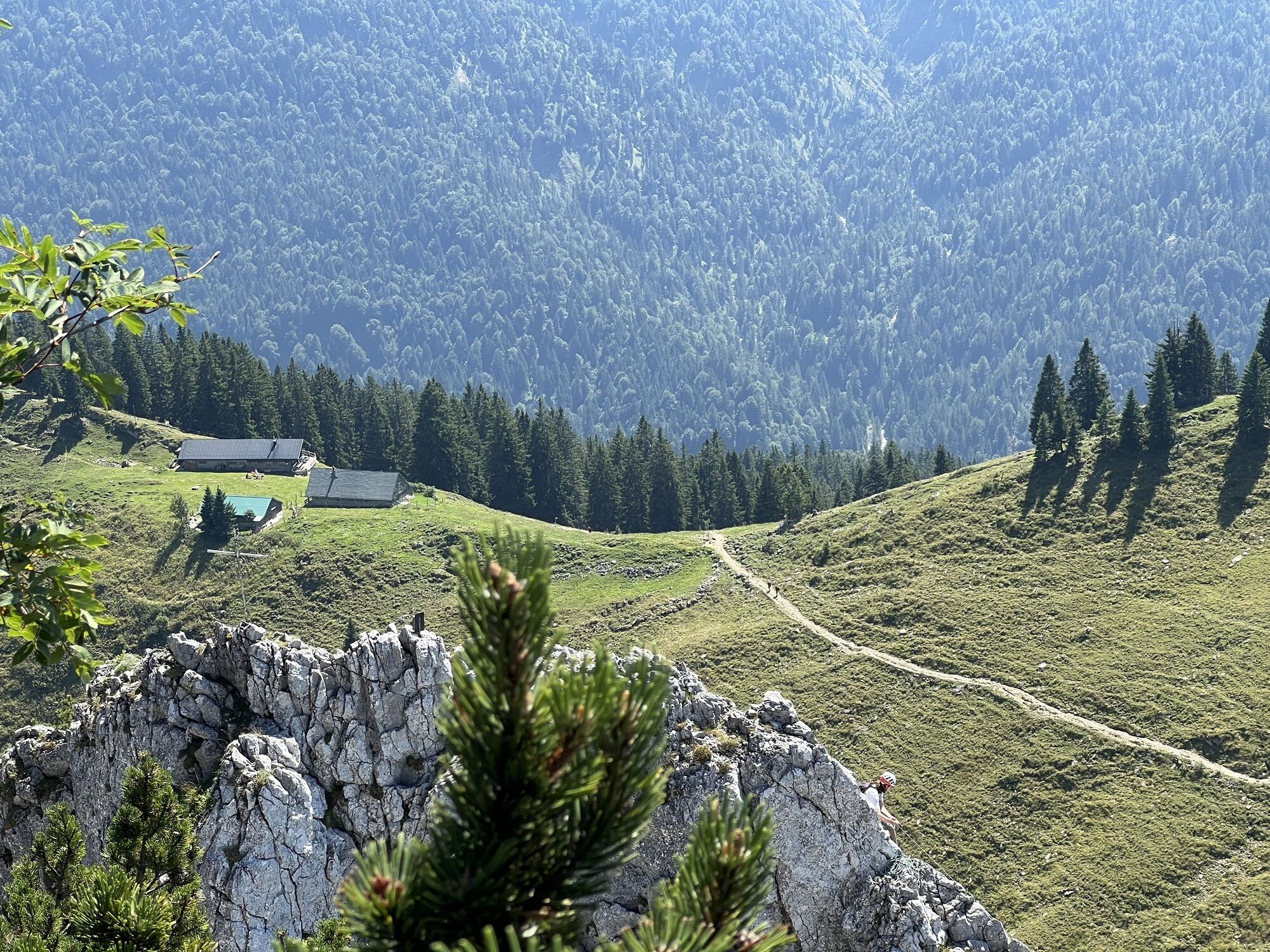
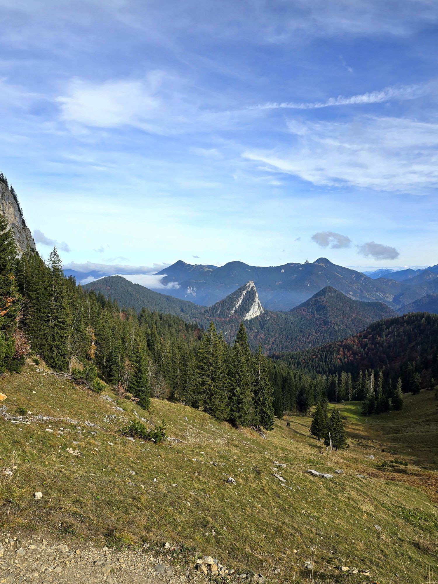
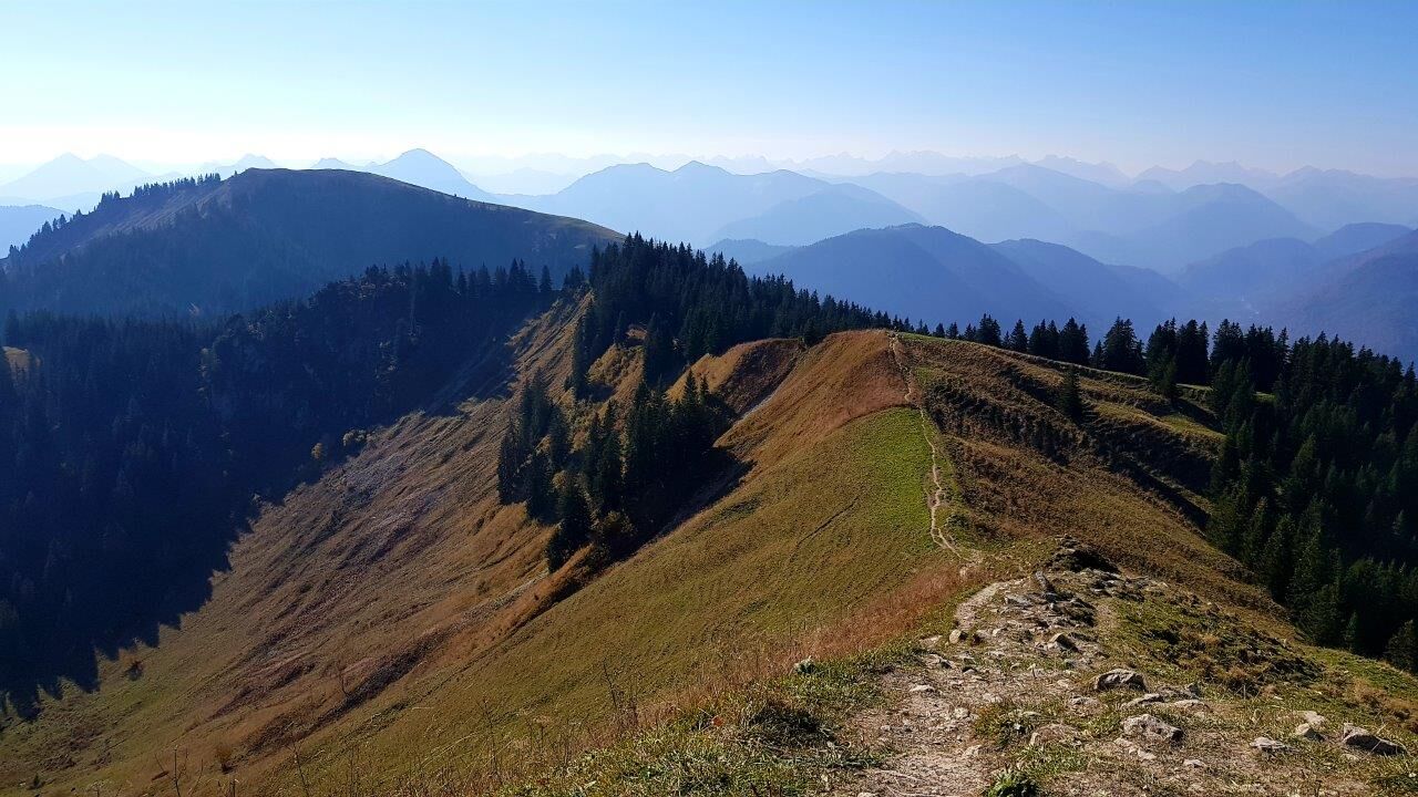
We stay on trail 621, passing Plattel and Hochplatte to reach Roßsteinalm.
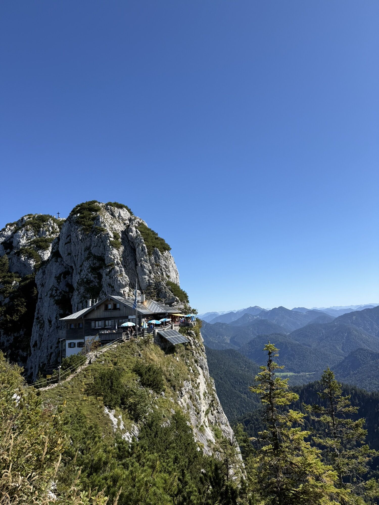
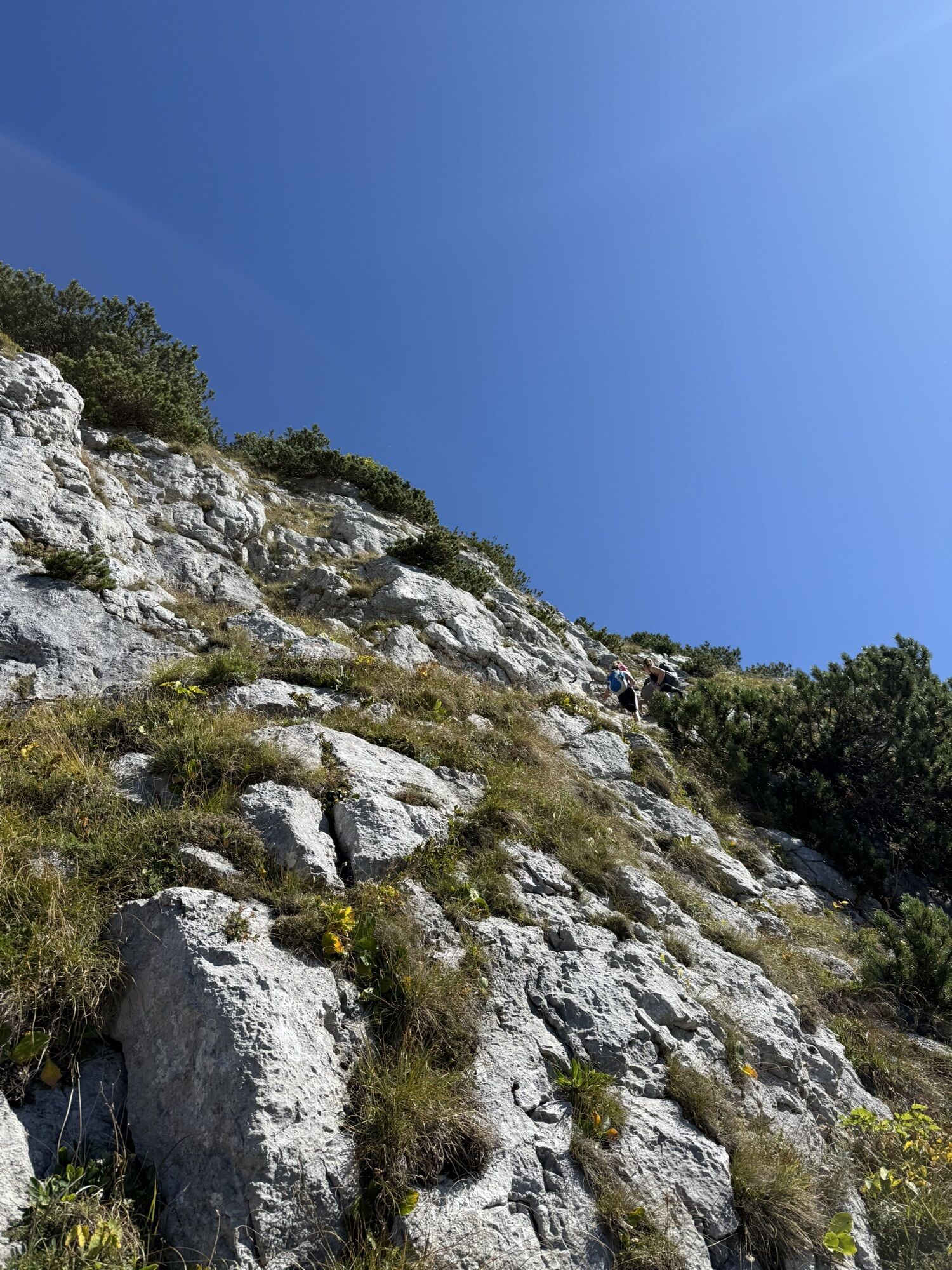
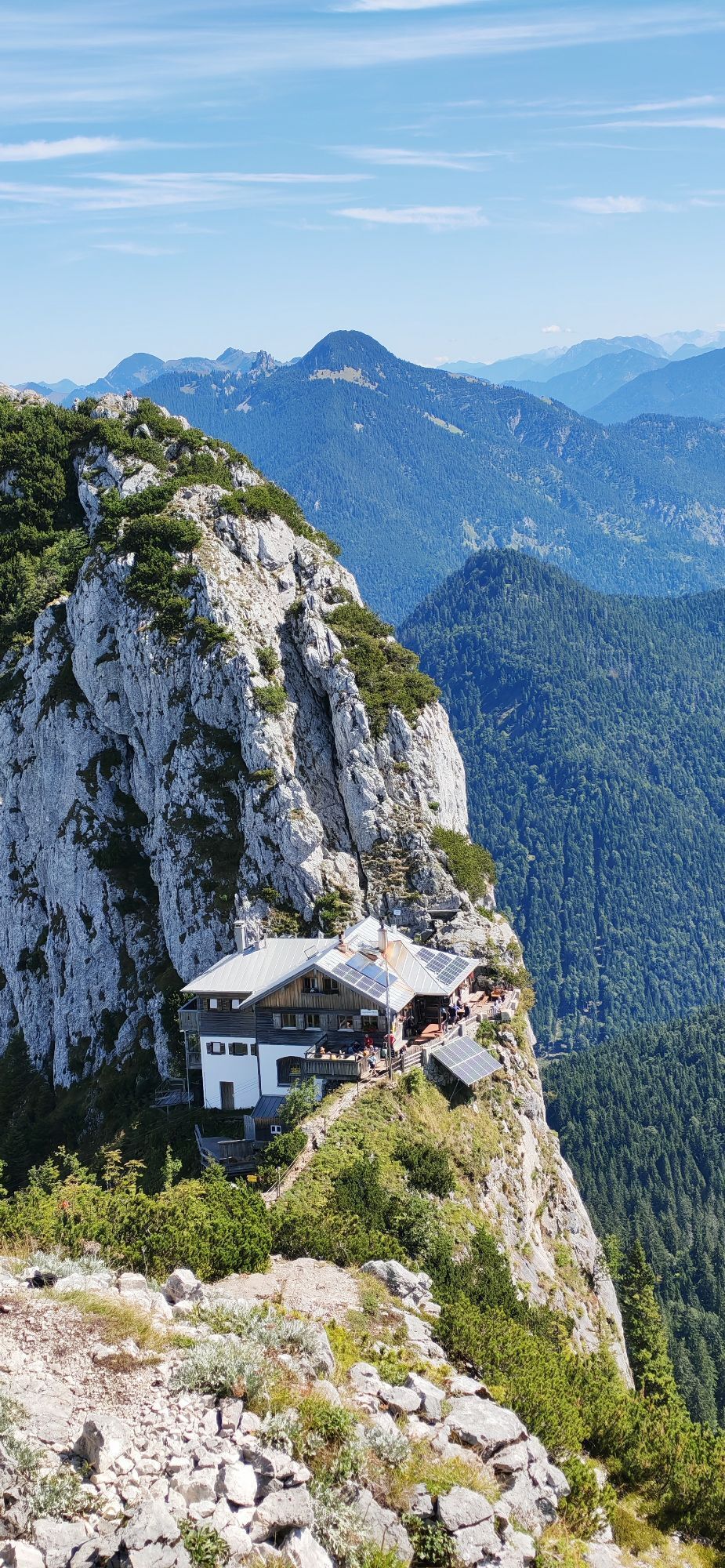
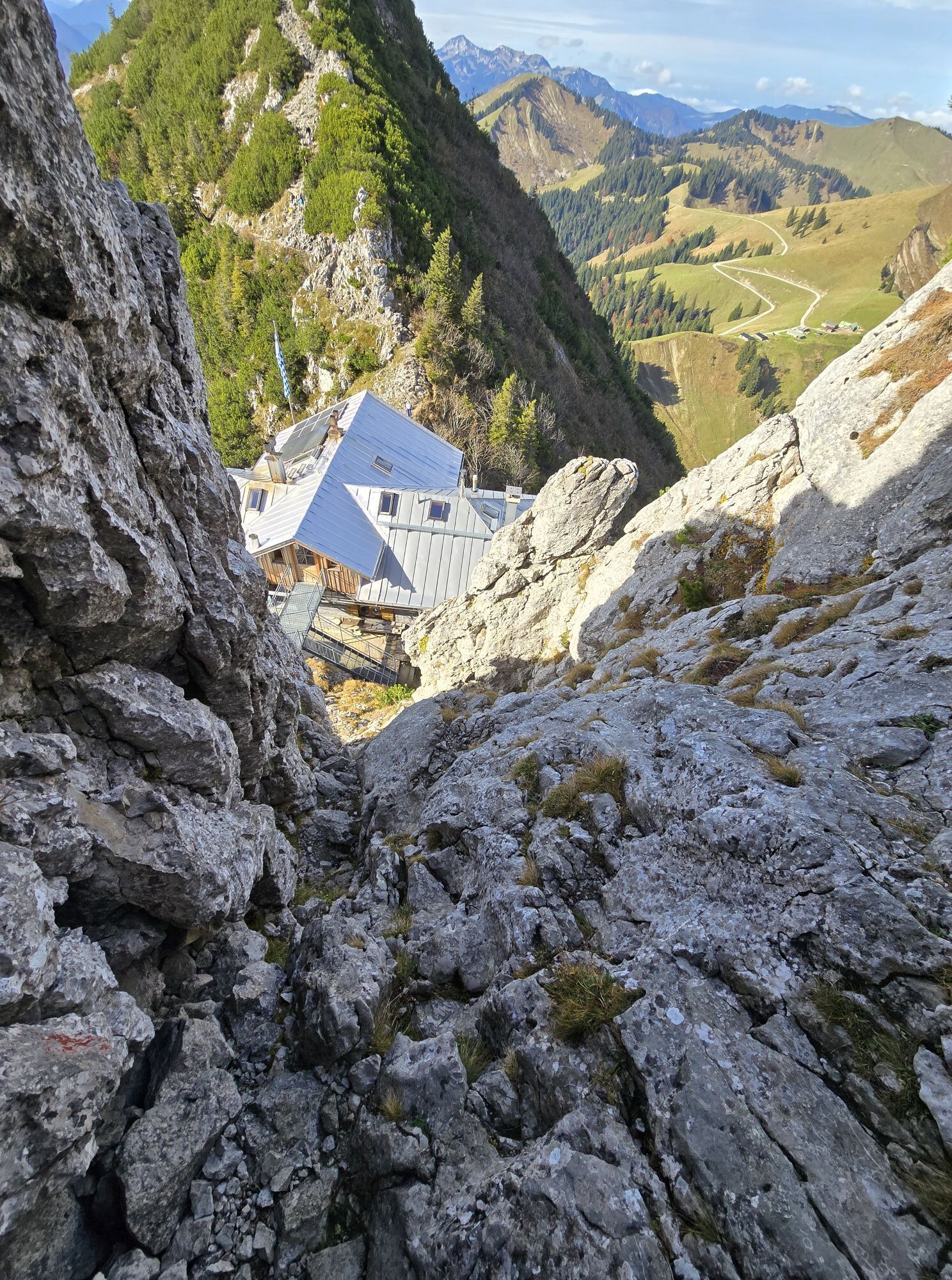
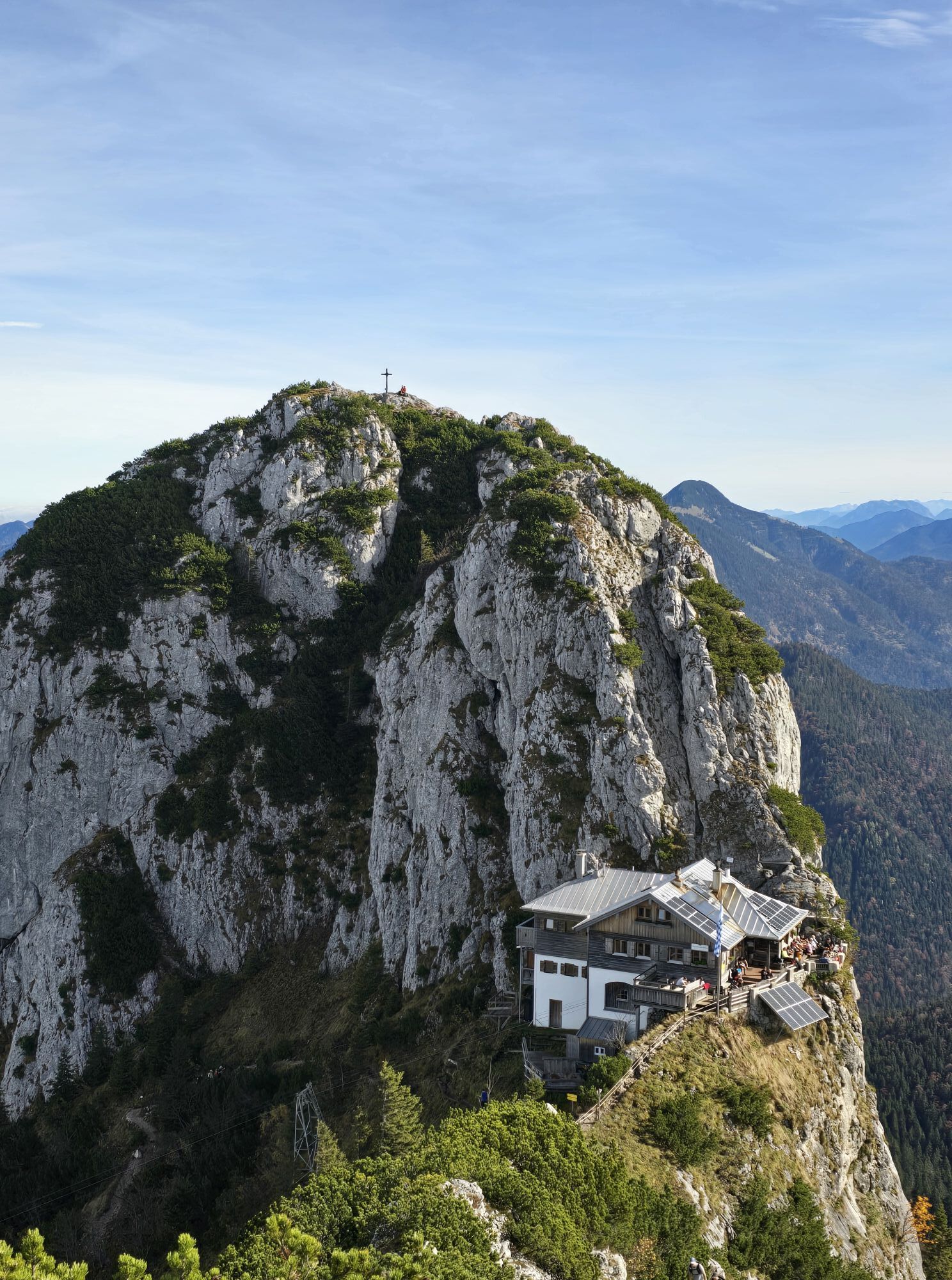
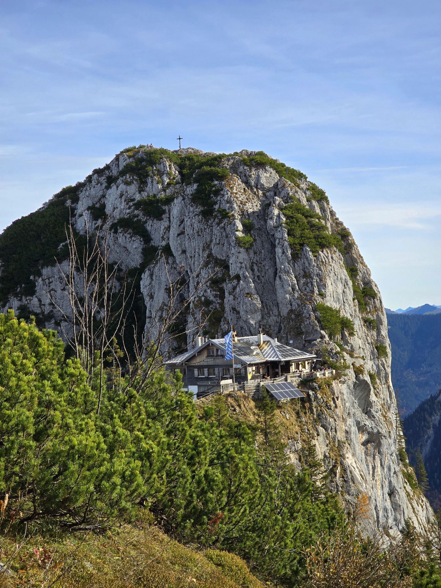
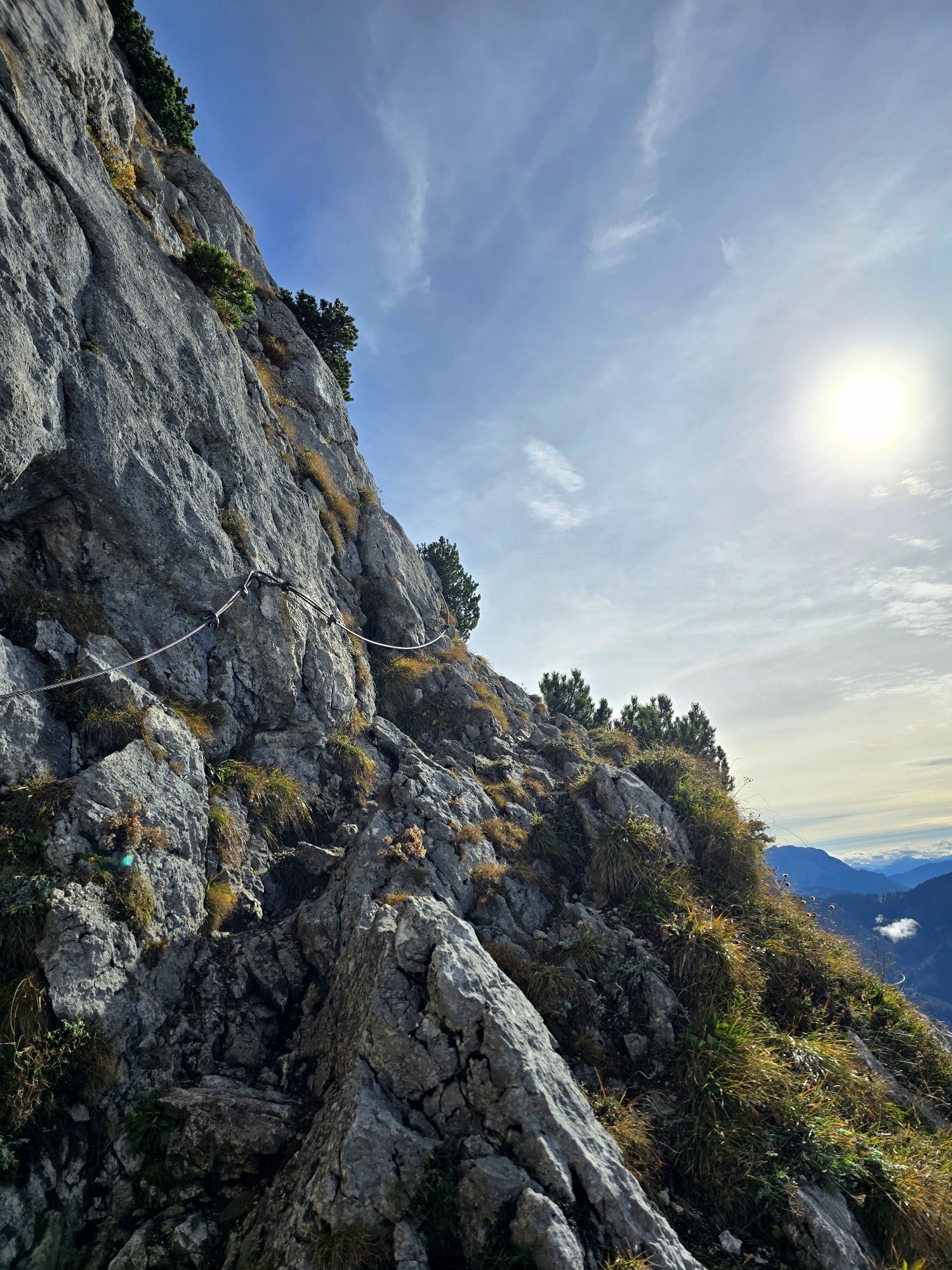
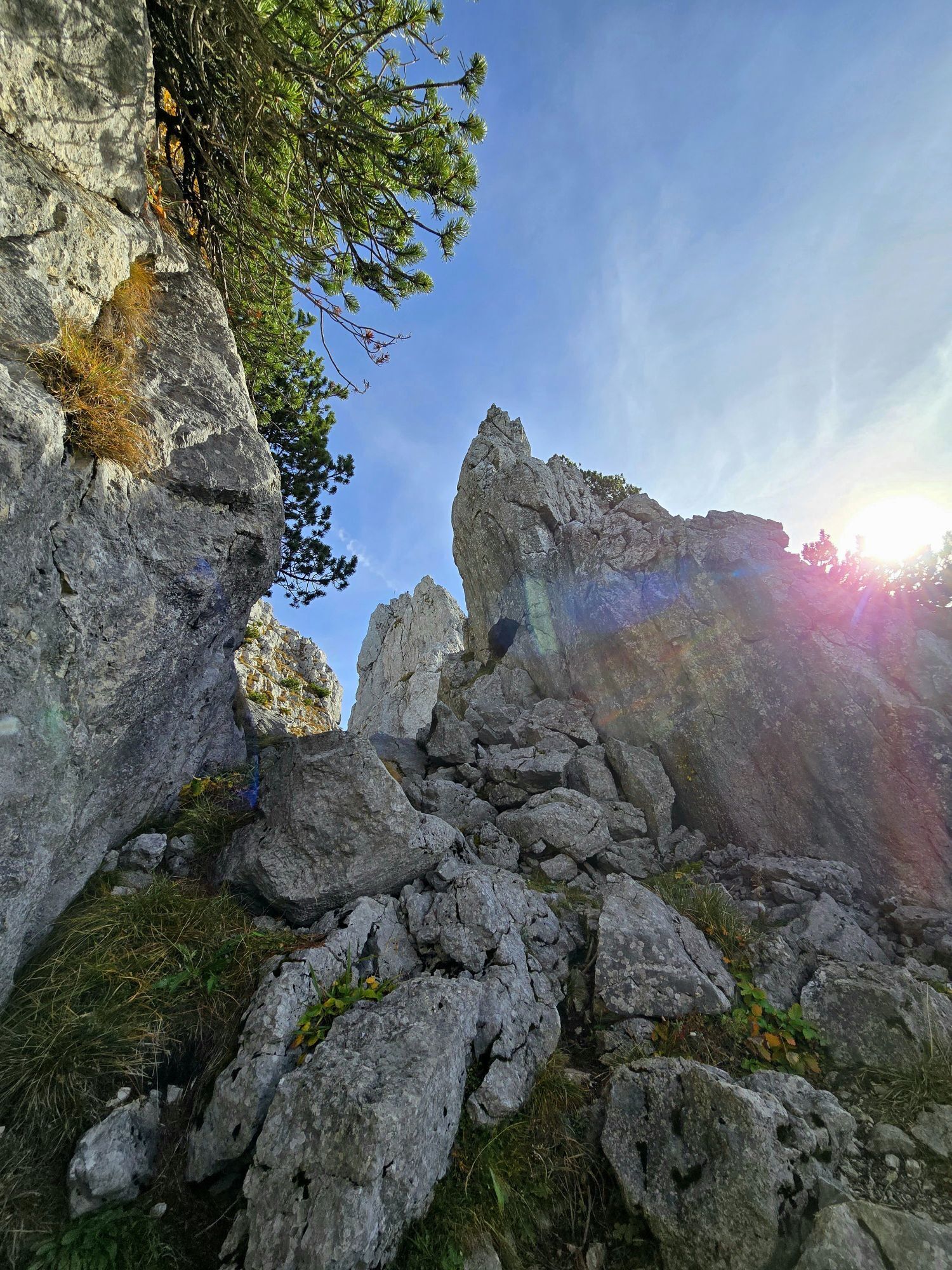
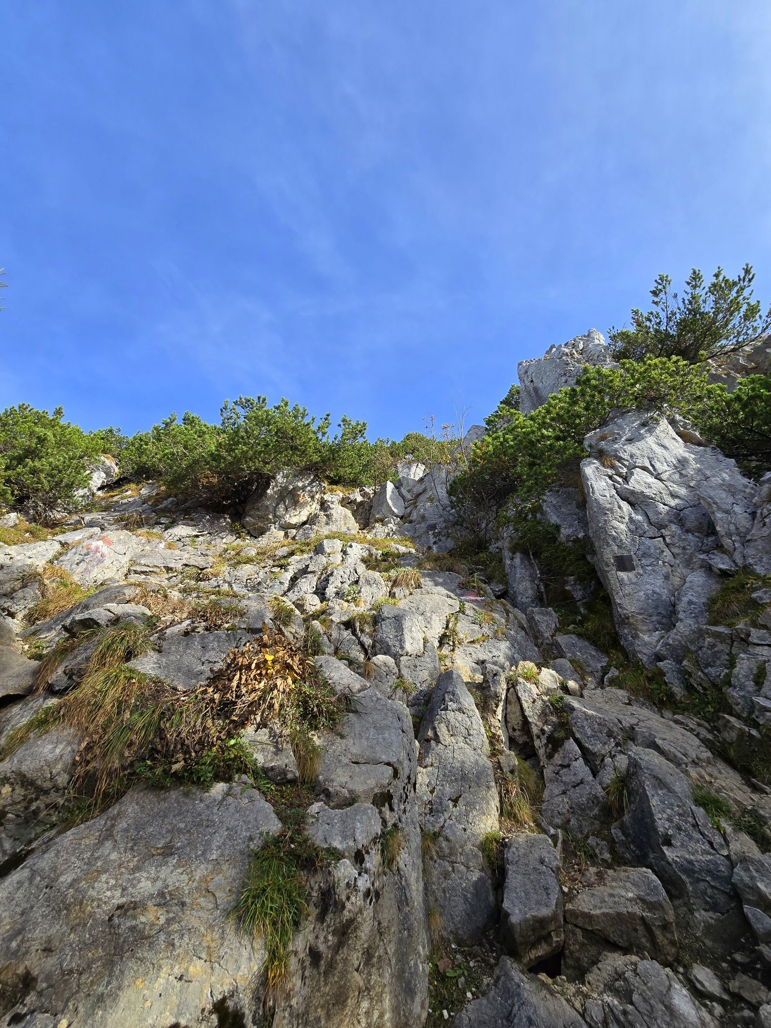
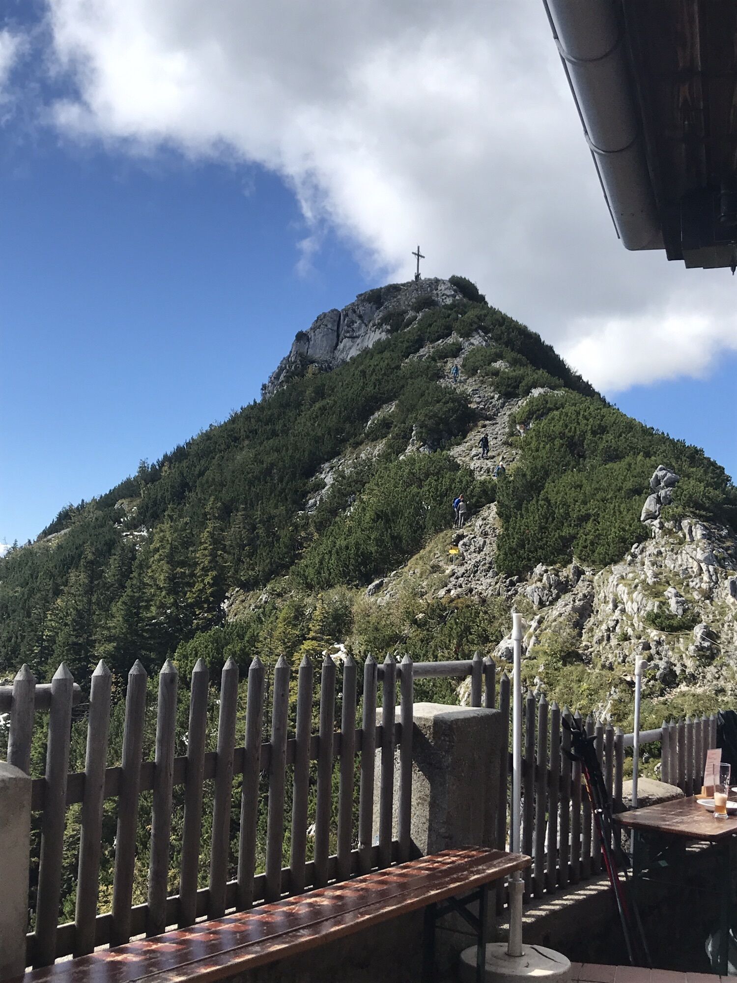
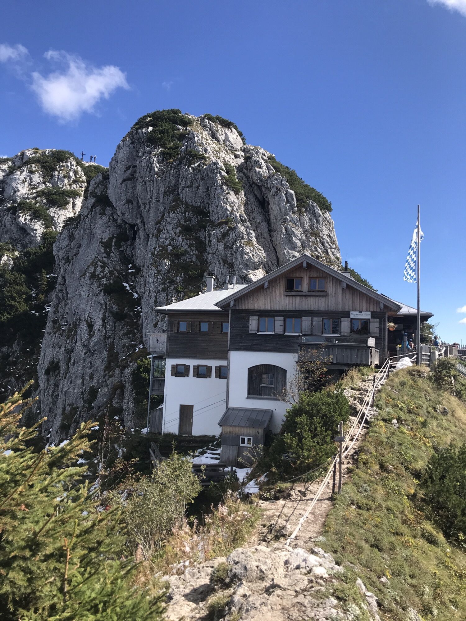
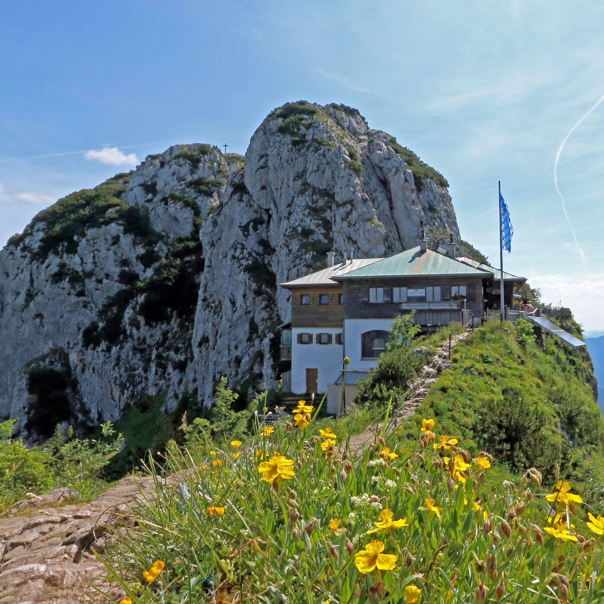
Then the route continues relatively flat to the south side of Roß and Buchstein, where we reach the Tegernsee Hut and the two summits via a short, steep, partially cable-secured ascent.
Climbing ability (II. UIAA) is required for the detour to Buchstein.
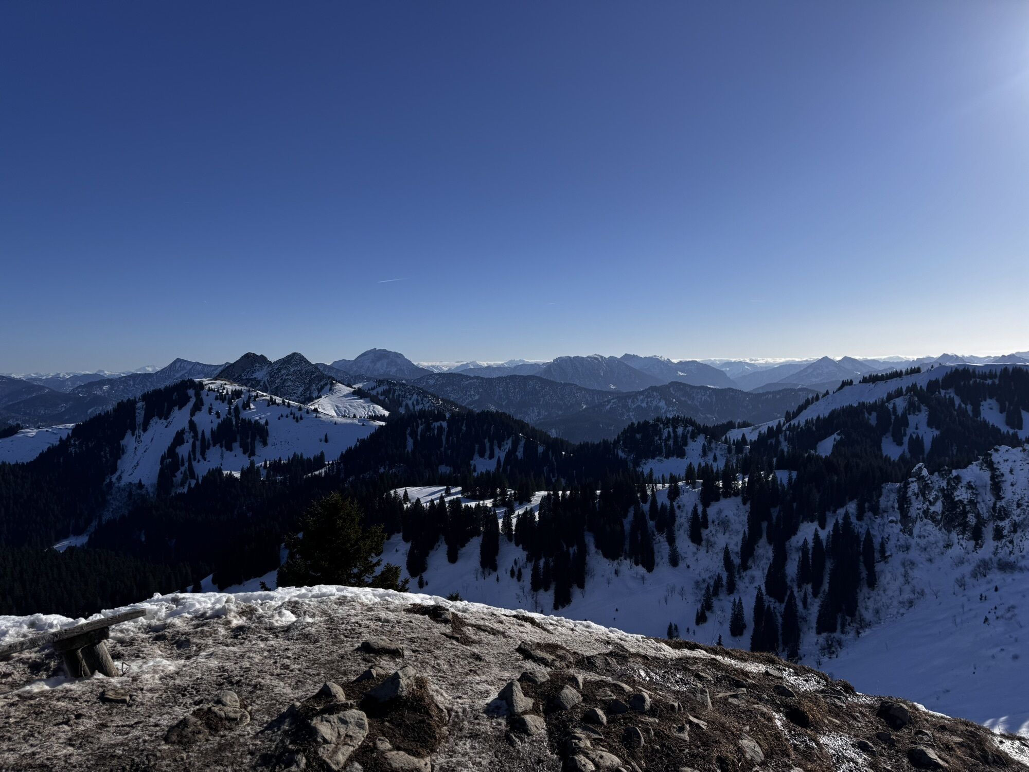
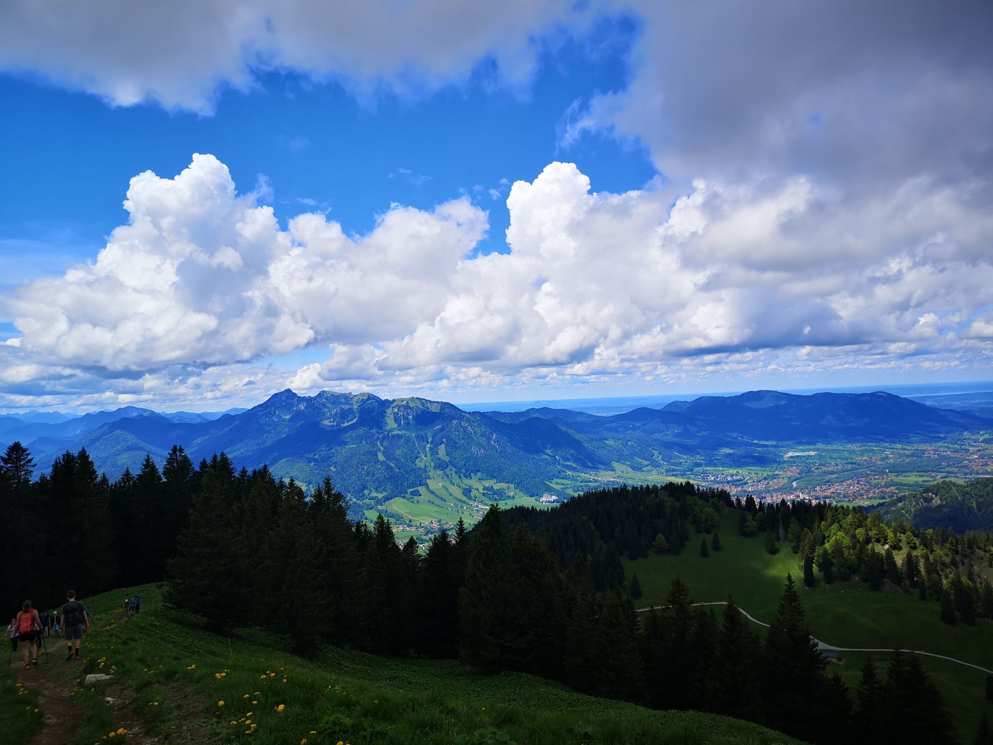
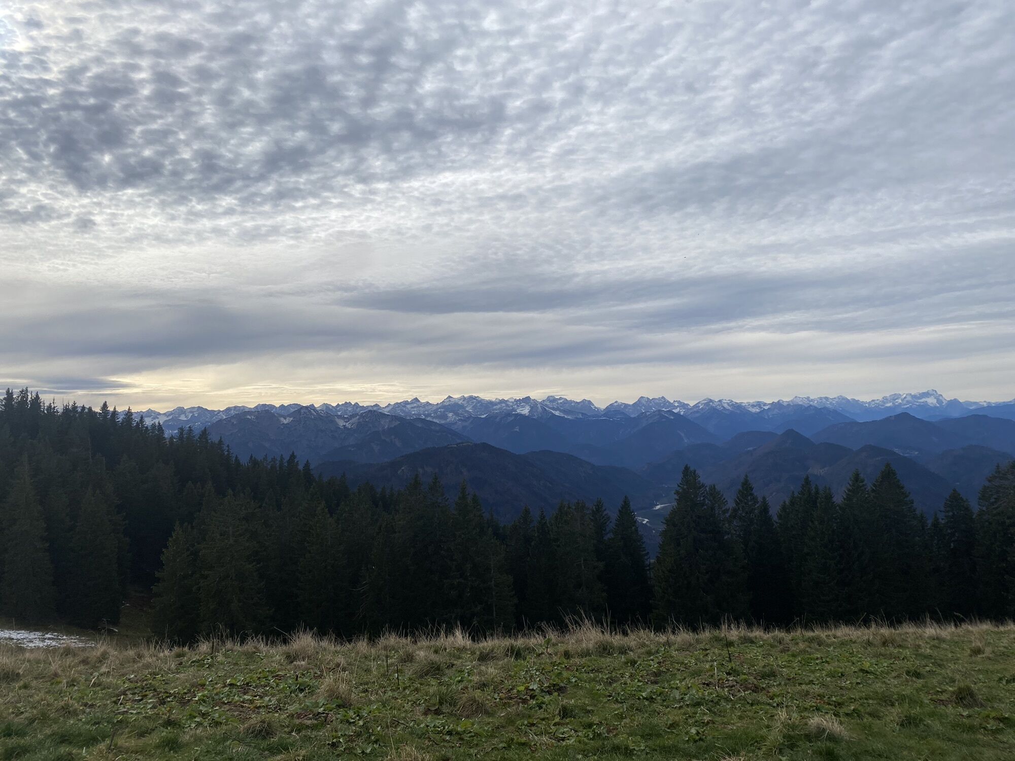
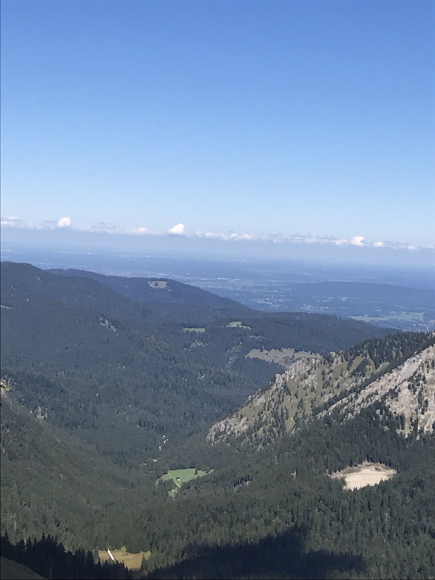
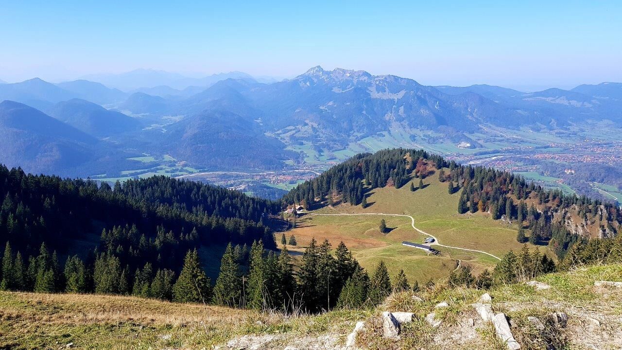
The summits Roßstein (1698m) and Buchstein (1701m) both offer an incredible view: Pre-Alps, Rofan, main Alpine ridge, Achensee, Wetterstein, and on clear days even the Ammergau Alps can be seen.
Variant:
The easier path goes left after Roßsteinalm over the north side to the Tegernsee Hut.
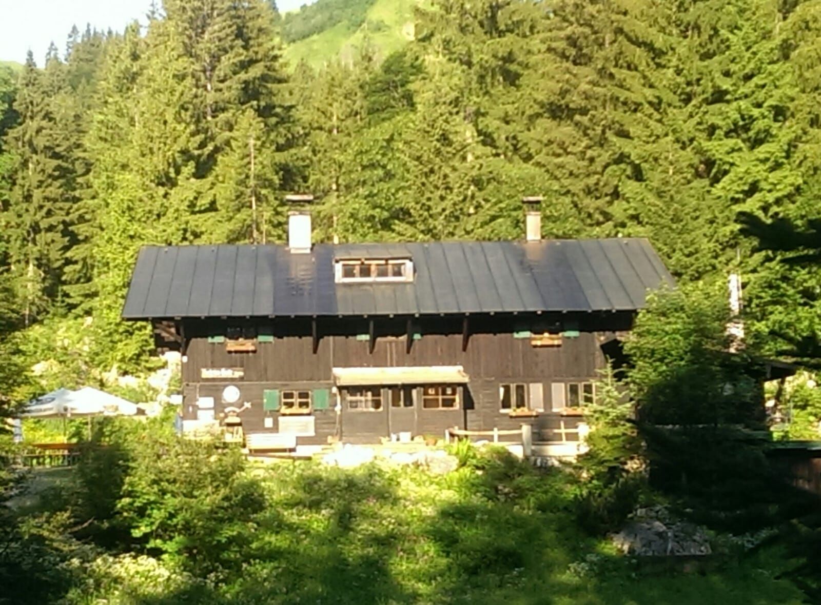
The descent takes place on the north side via Buchstein Hut (1260m) on trail no. 609.
Along the Schwarzenbach, it leads back to the starting point Parkplatz-Klamm.
Variant with Kampen:
For those who find the route too short or plan an overnight stay in a hut, the crossing of the three Kampen can also be included.
For this, we stay on trail 604 after Schwarzentenn Alm and shortly before Luckengraben Alm turn left to the other side of the Söllbach.
After 1.3 km, it then leads left again on trail 601 over Stinkergraben to Hirschtalsattel (with sulfur springs).
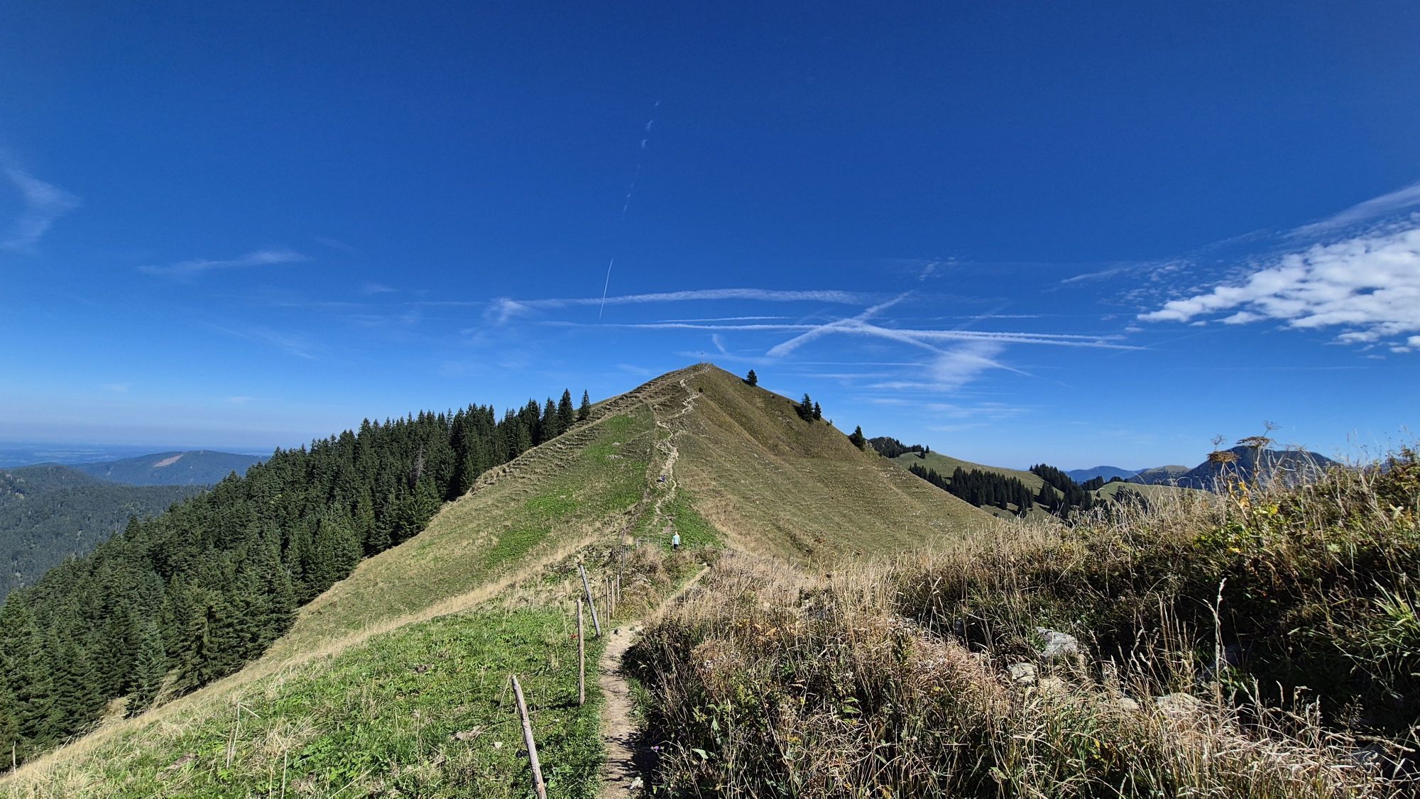
From there, path (622) leads steeply upward to Ochsenkamp (1594m).
After crossing Spitz and Auerkamp (1607m), the route passes Brandkopf and leads to Seekarkreuz.
At the saddle before the summit cross, we meet the original route again.
Tak
Tak
Sturdy footwear and weather-appropriate clothing, possibly a rain jacket, water bottle, first aid kit, possibly a hut sleeping bag.
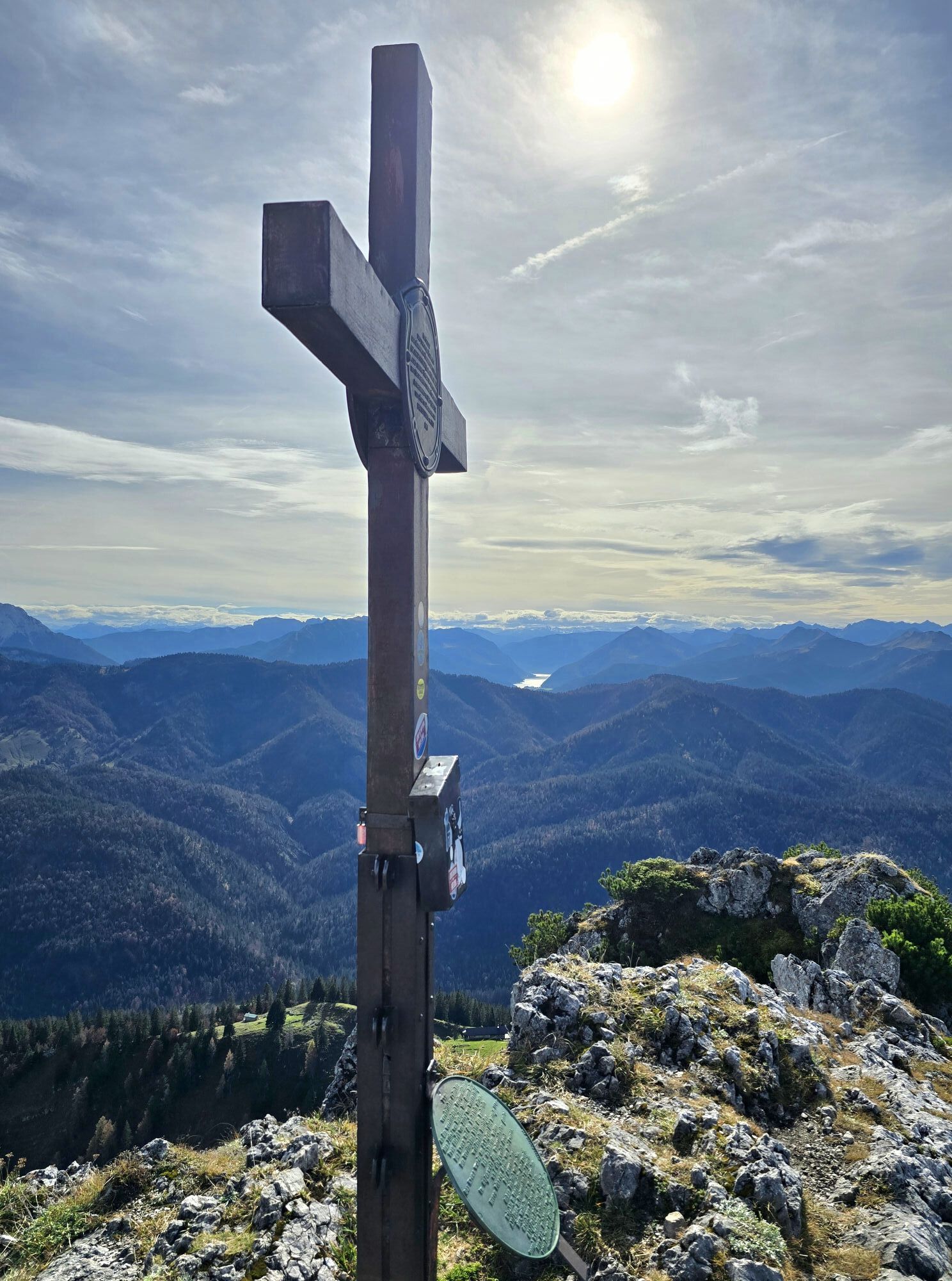
Cable-secured ascent on the south side of Roß and Buchstein on the way to Tegernsee Hut. Not accessible in winter. All information without guarantee. Hiking and biking described here is at your own risk.
A8 to Holzkirchen exit, via B318 to the hiking parking lot Kreuth-Klamm.
Take the MVV to Kreuth, bus stop Kreuth-Klamm.
Paid parking lot Kreuth-Klamm
During the Alm time, a stop at Roßsteinalm is worthwhile.


Popularne wycieczki w okolicy
-
4,6
Summit route to the Wallberg
średniWędrówka 12,2 km -
4,8
Lengrieser Hütte
średniWędrówka 10,6 km -
4,7
Königsalm
średniWędrówka 10,0 km -
4,2
Tegernsee Höhenweg - North
światłoWędrówka 12,3 km -
4,6
Brauneck zum Latschenkopf Rundweg
średniWędrówka 6,30 km -
4,5
Aueralm/Zwerglberg
średniWędrówka 11,9 km -
4,5
Achenkirch - Zöhreralm - Adlerhorst - Achenkirch
światłoWędrówka 7,70 km -
3,7
Aueralm und Fockenstein
średniWędrówka 14,1 km -
4,6
Alpbach valley and Neureuth
średniWędrówka 12,9 km -
3,4
Zur Gindelalm und Kreuzbergalm
światłoWędrówka 8,16 km
Wędrówki i tropienie


Nie przegap ofert i inspiracji na następne wakacje
Twój adres e-mail została dodana do listy mailingowej.