







Castle views
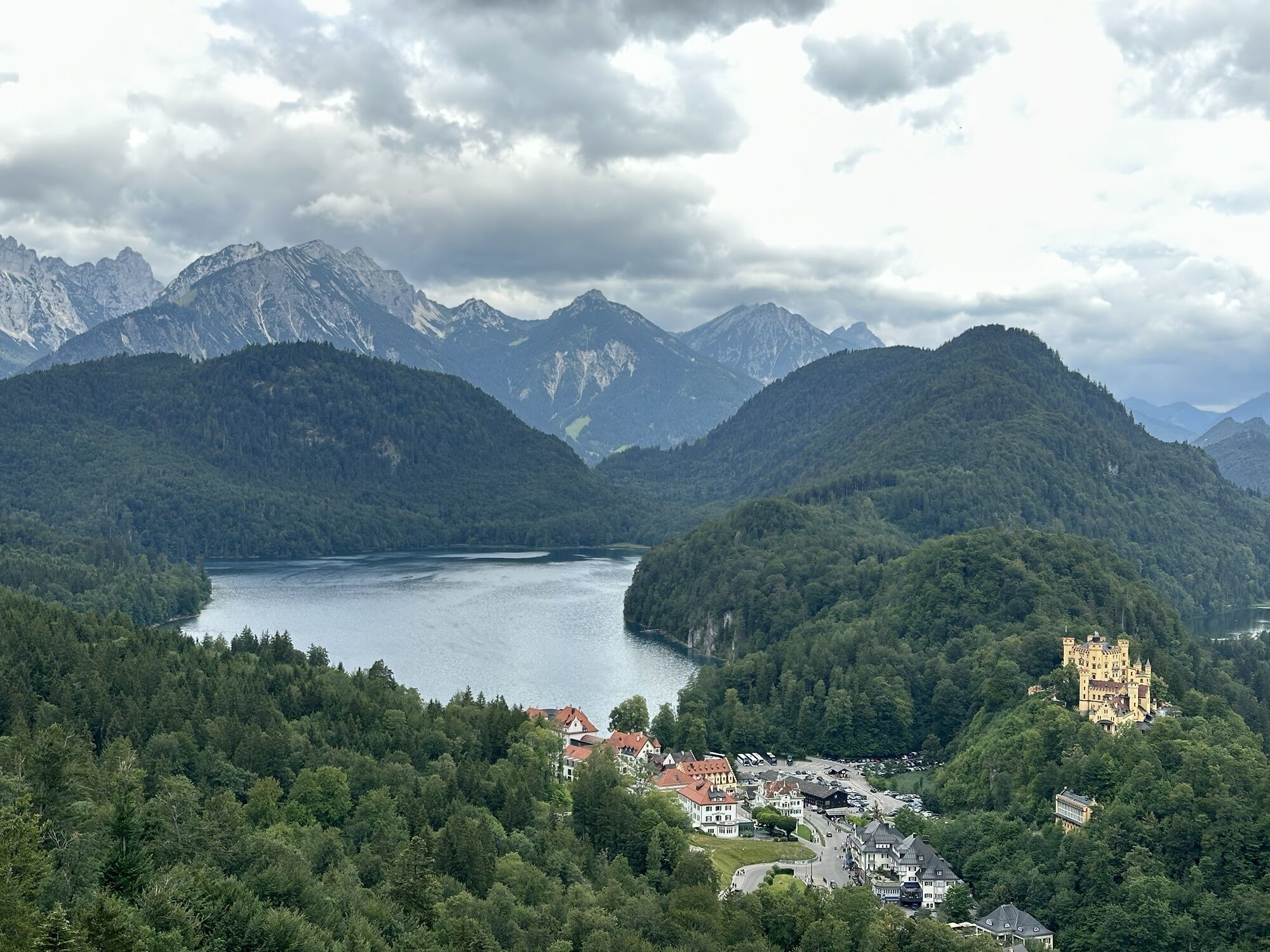
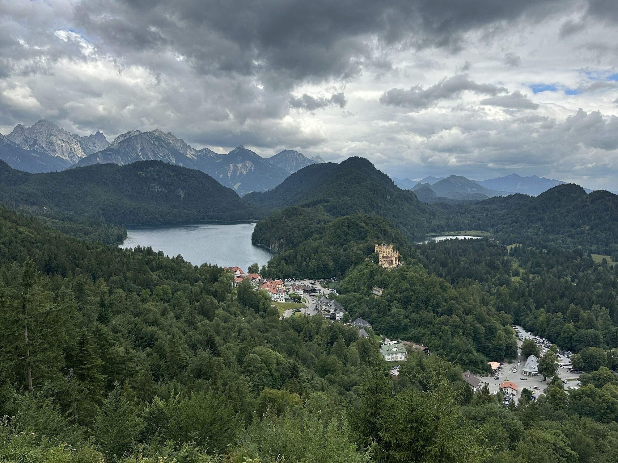
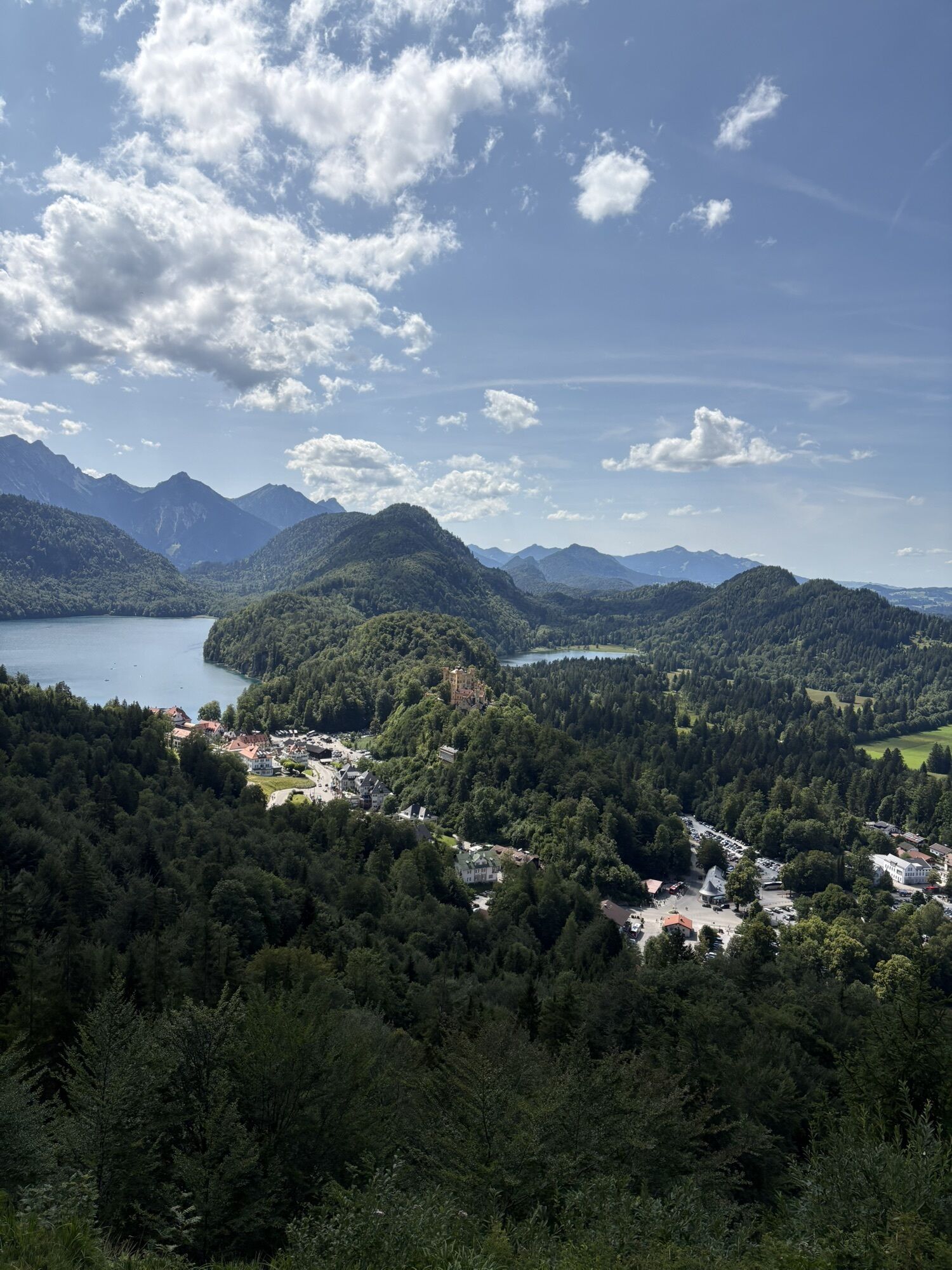
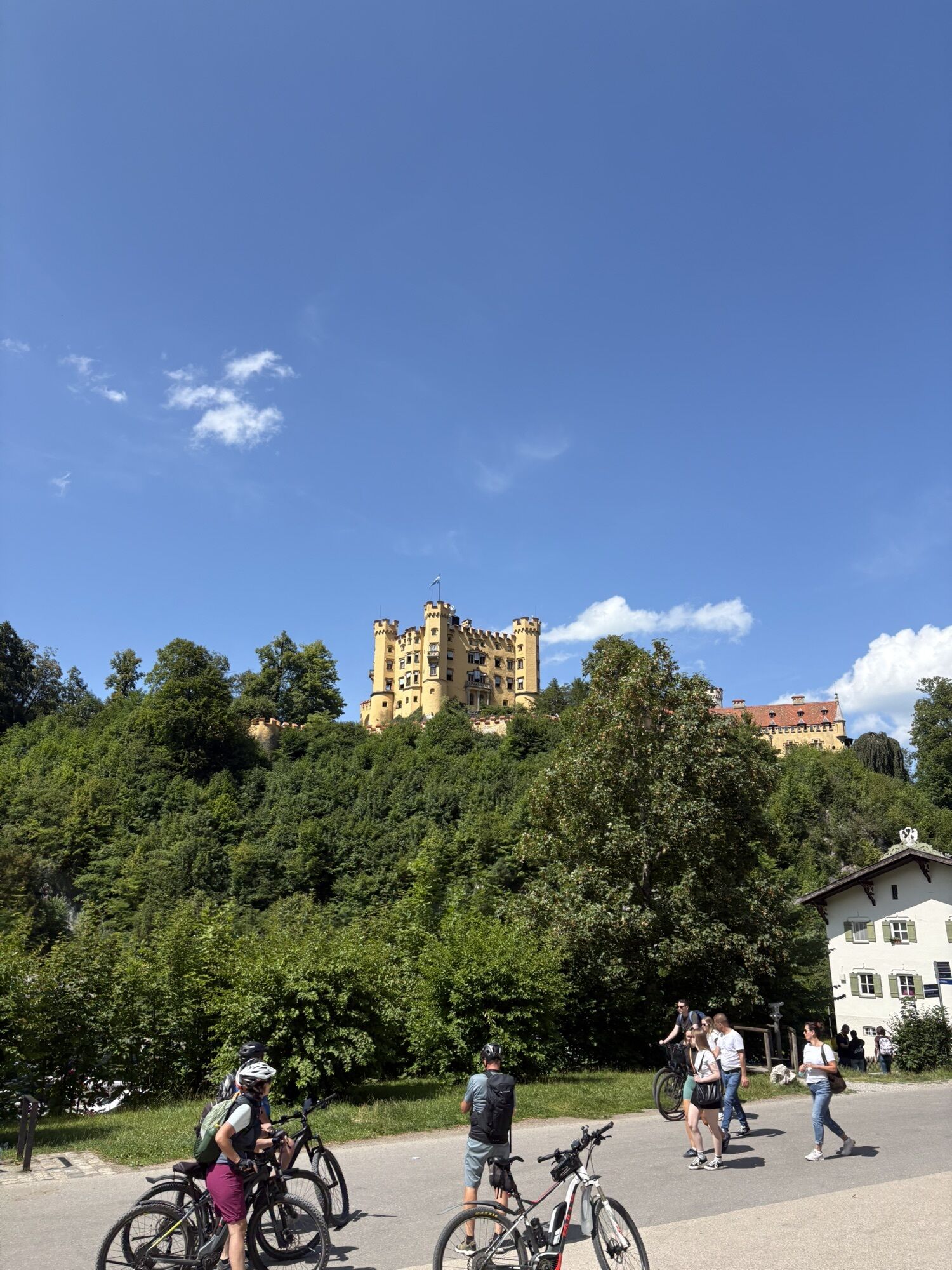
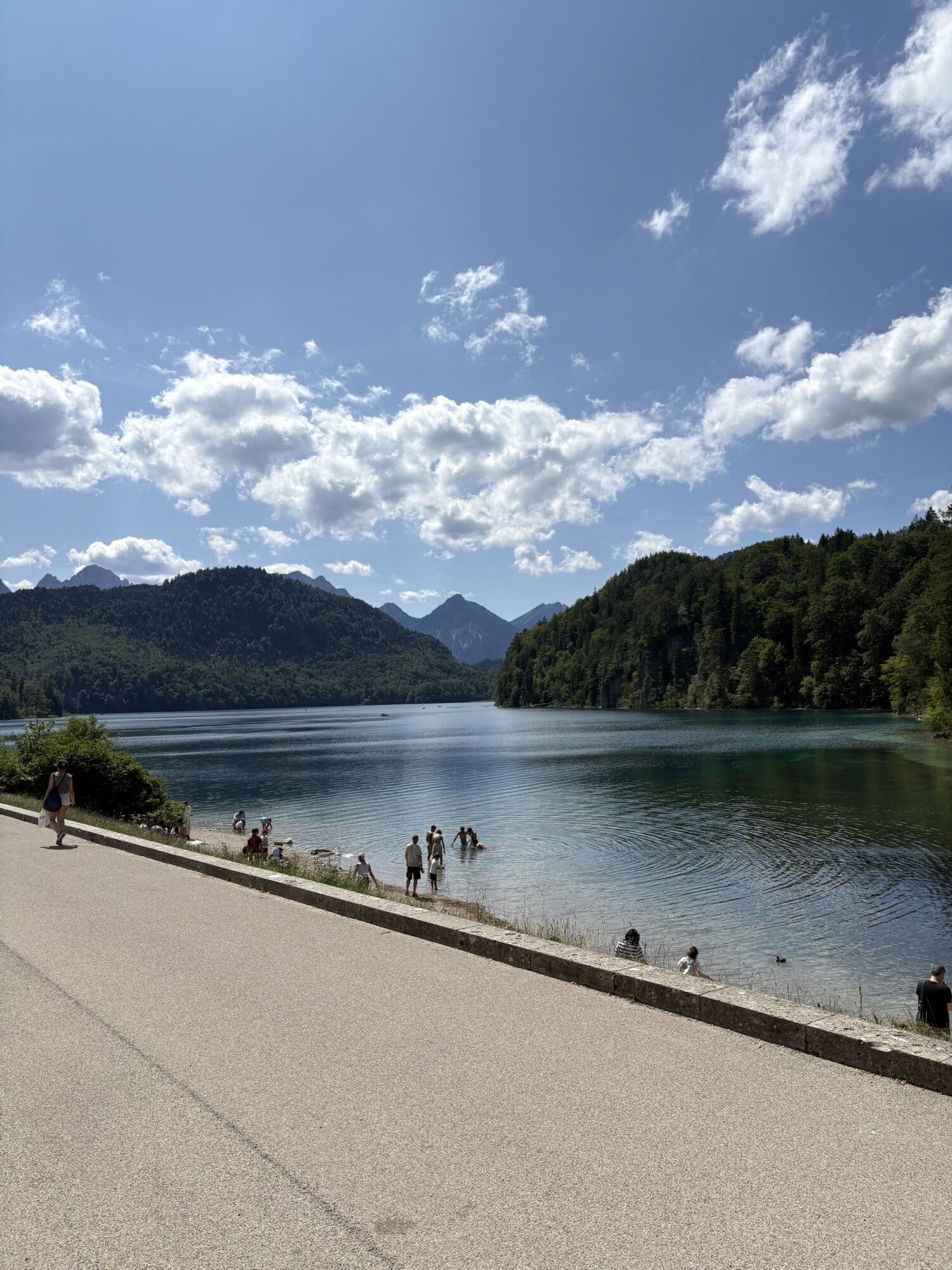
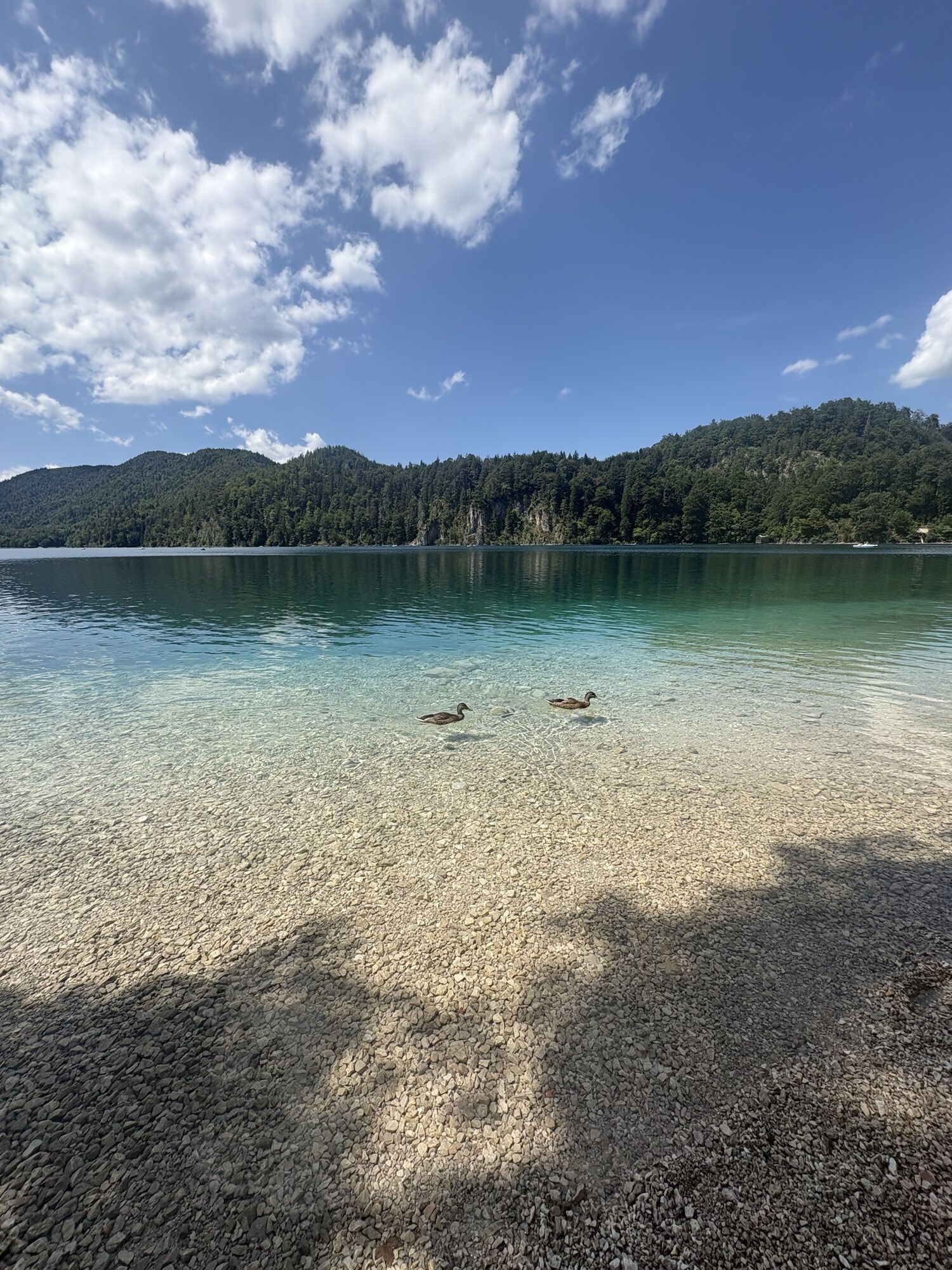
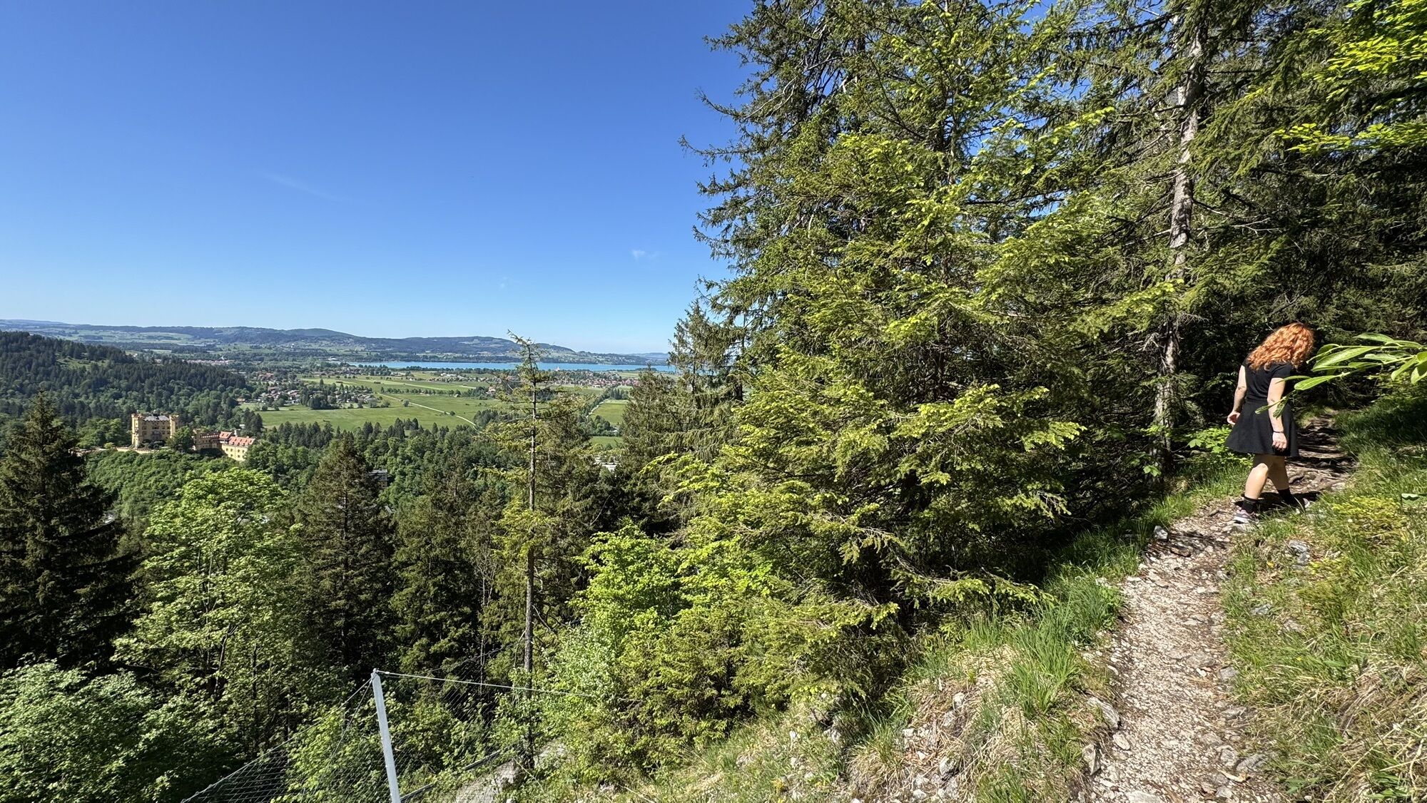
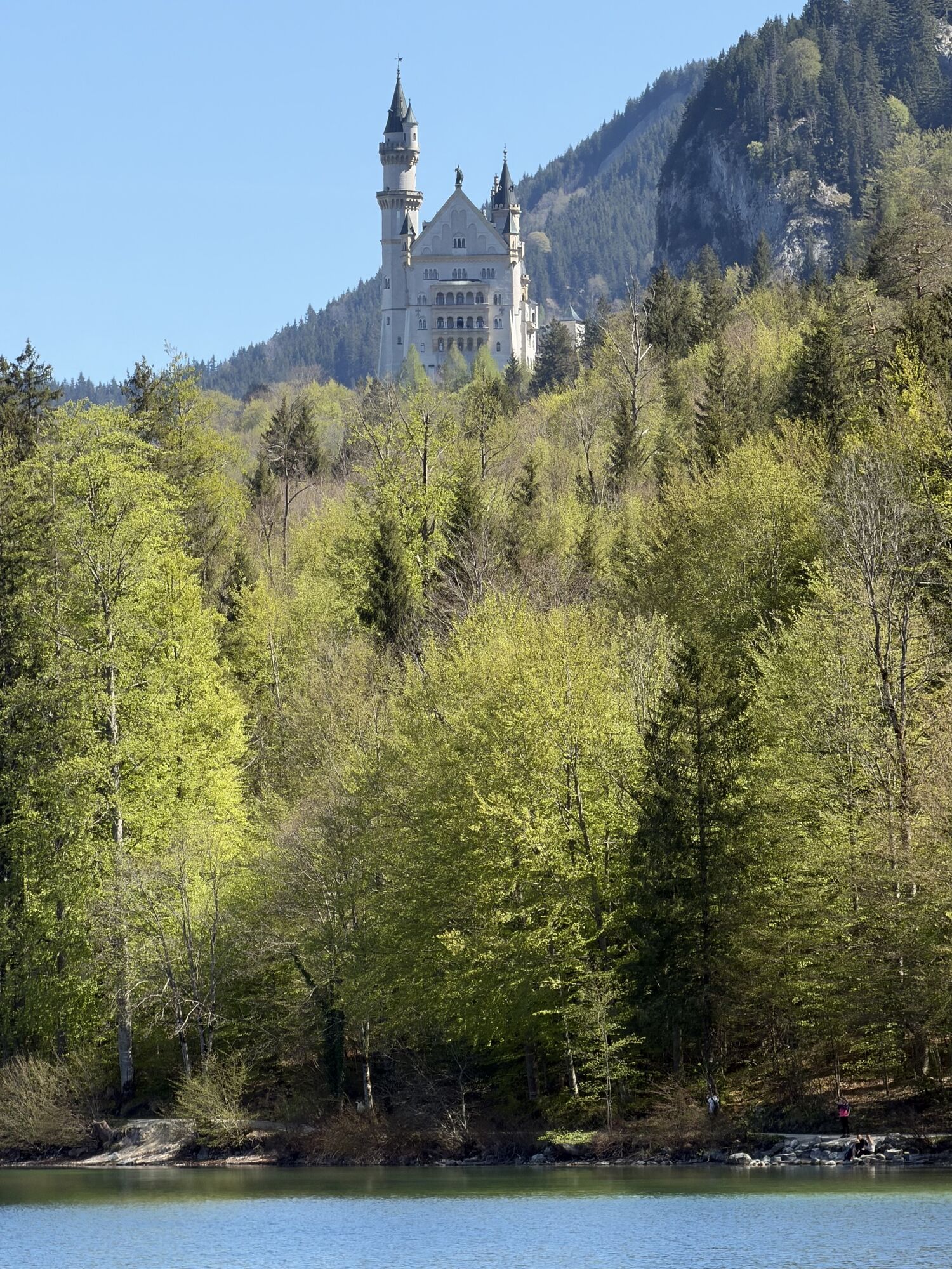
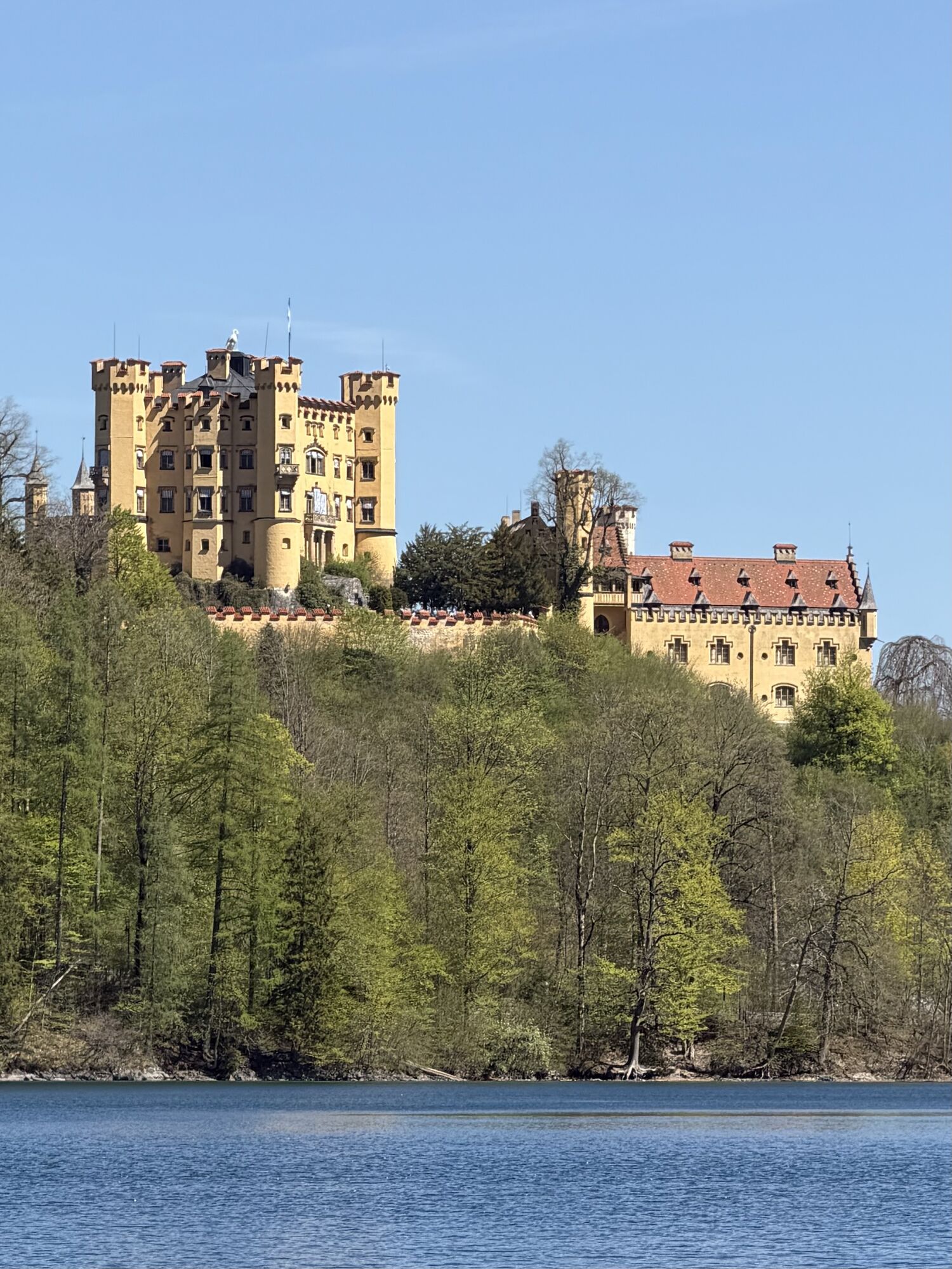
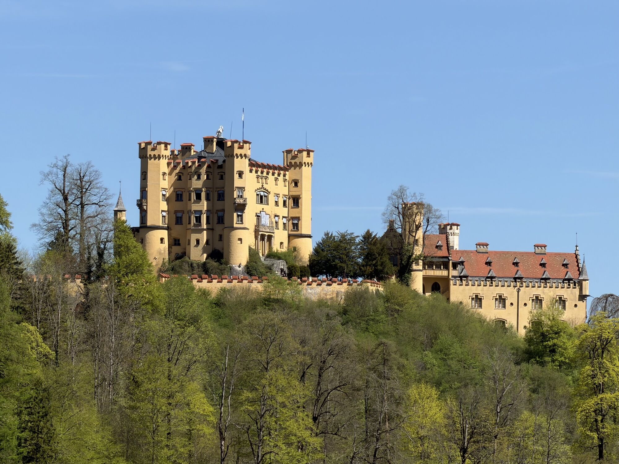
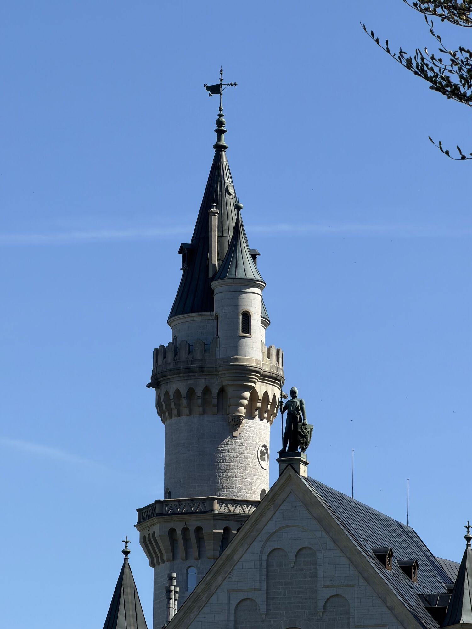
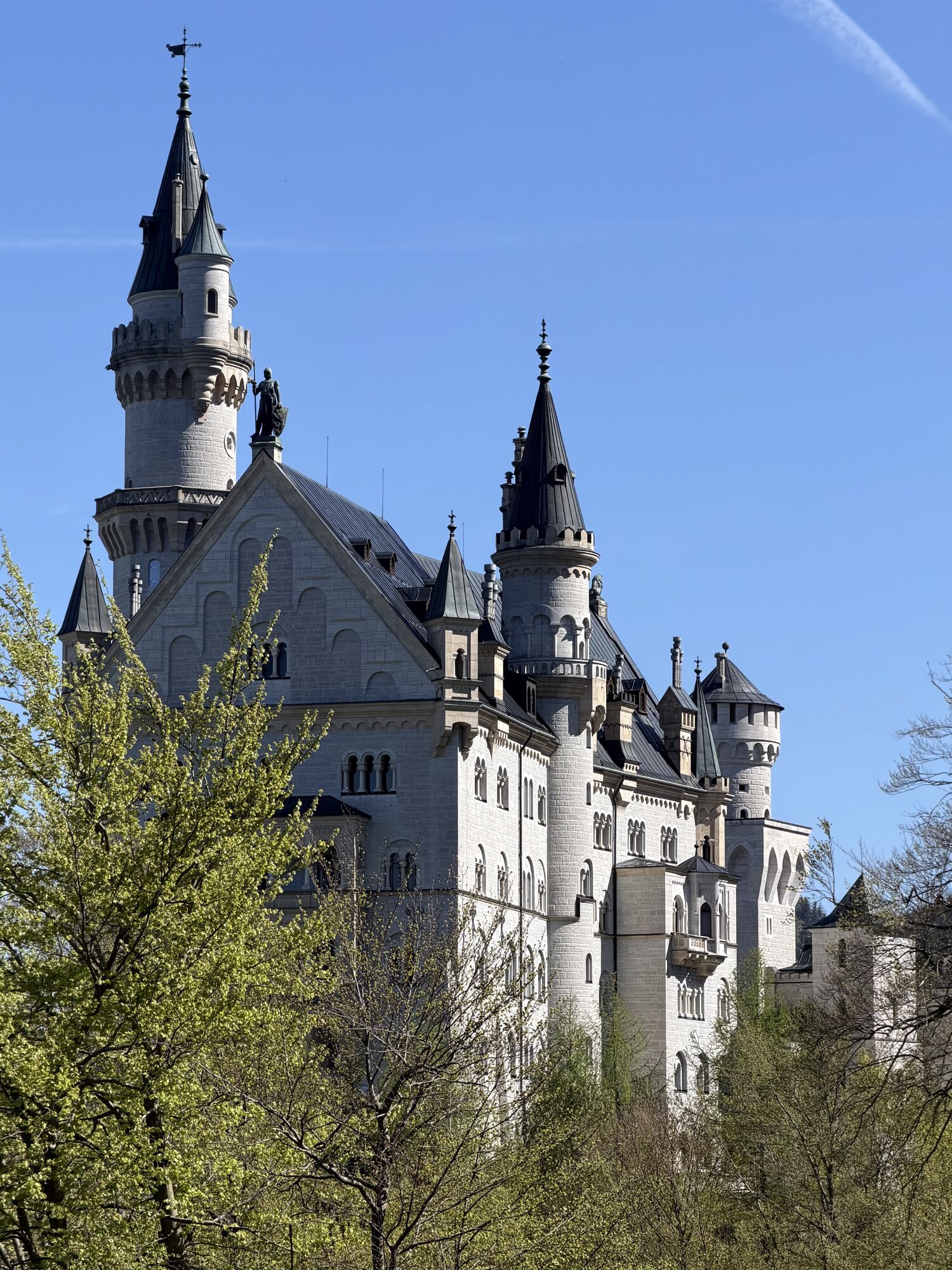
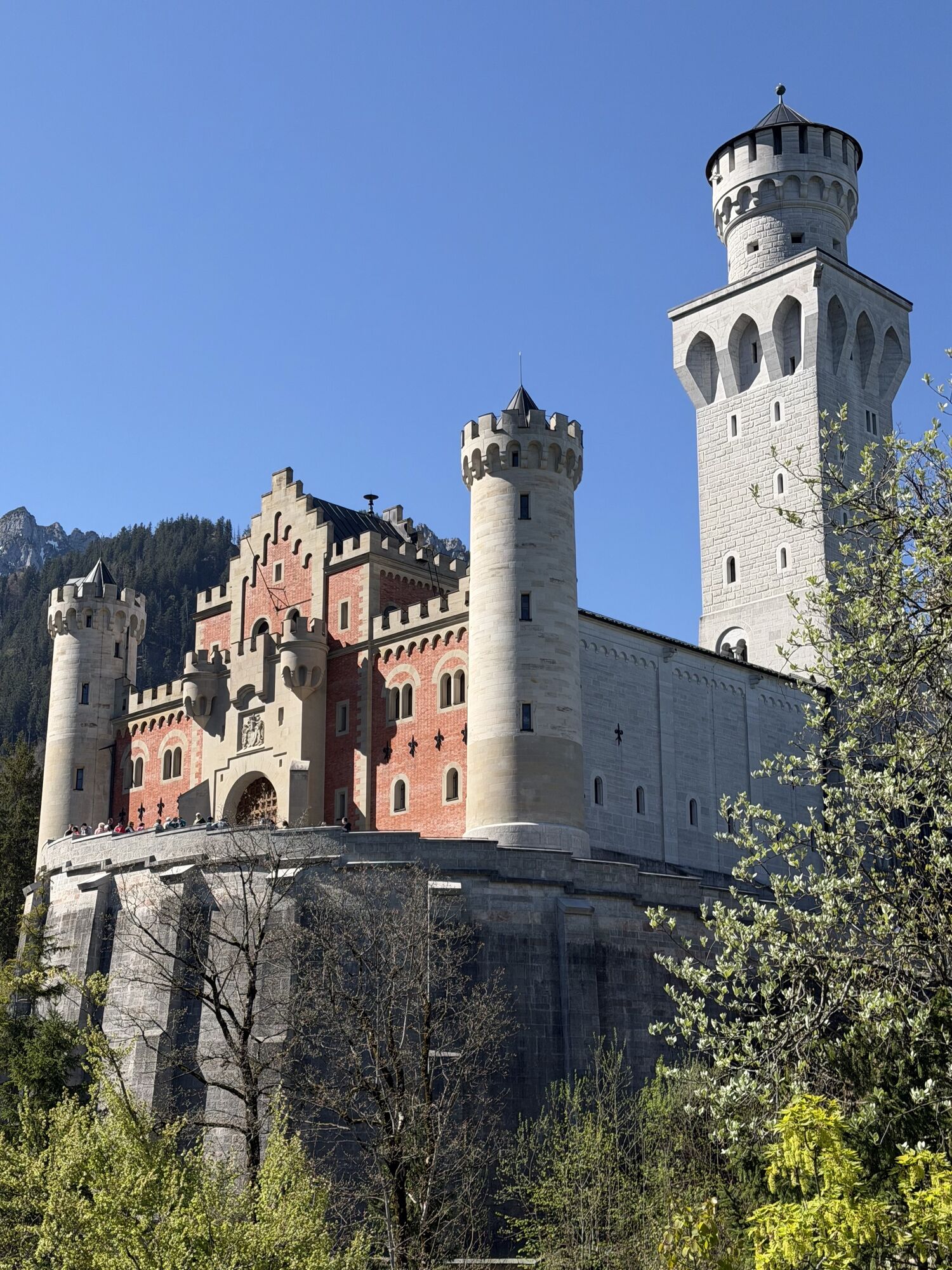
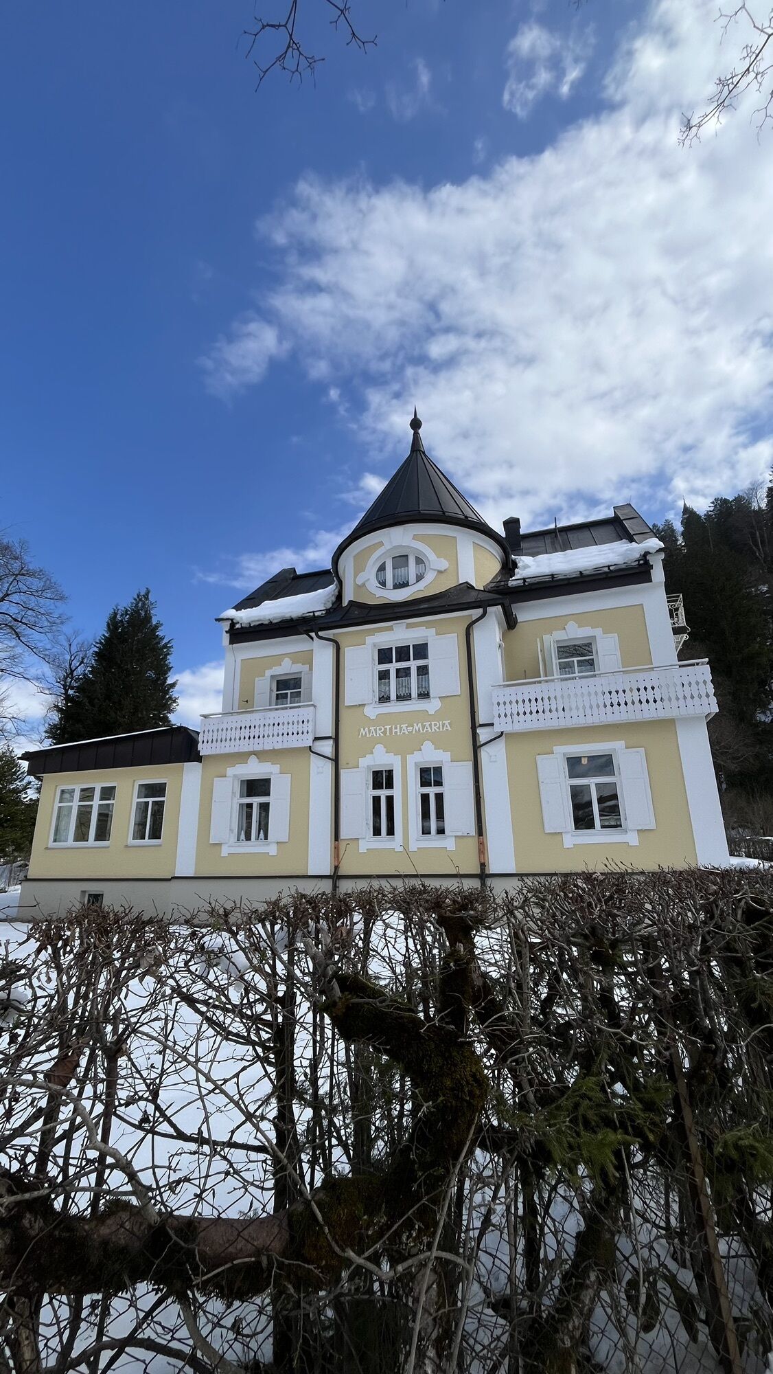
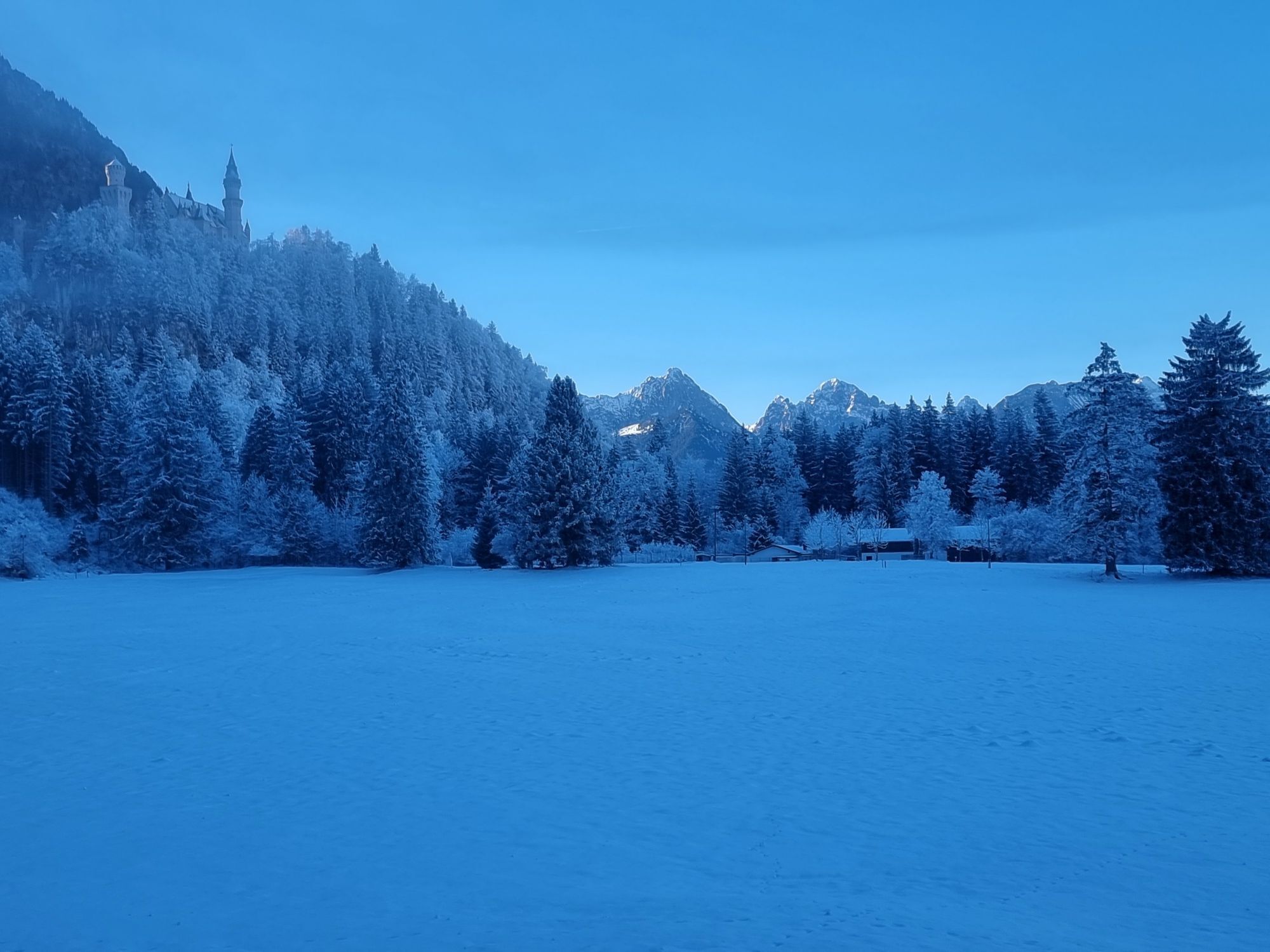
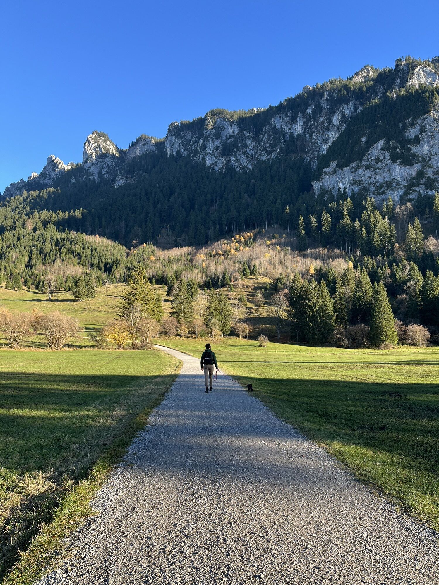
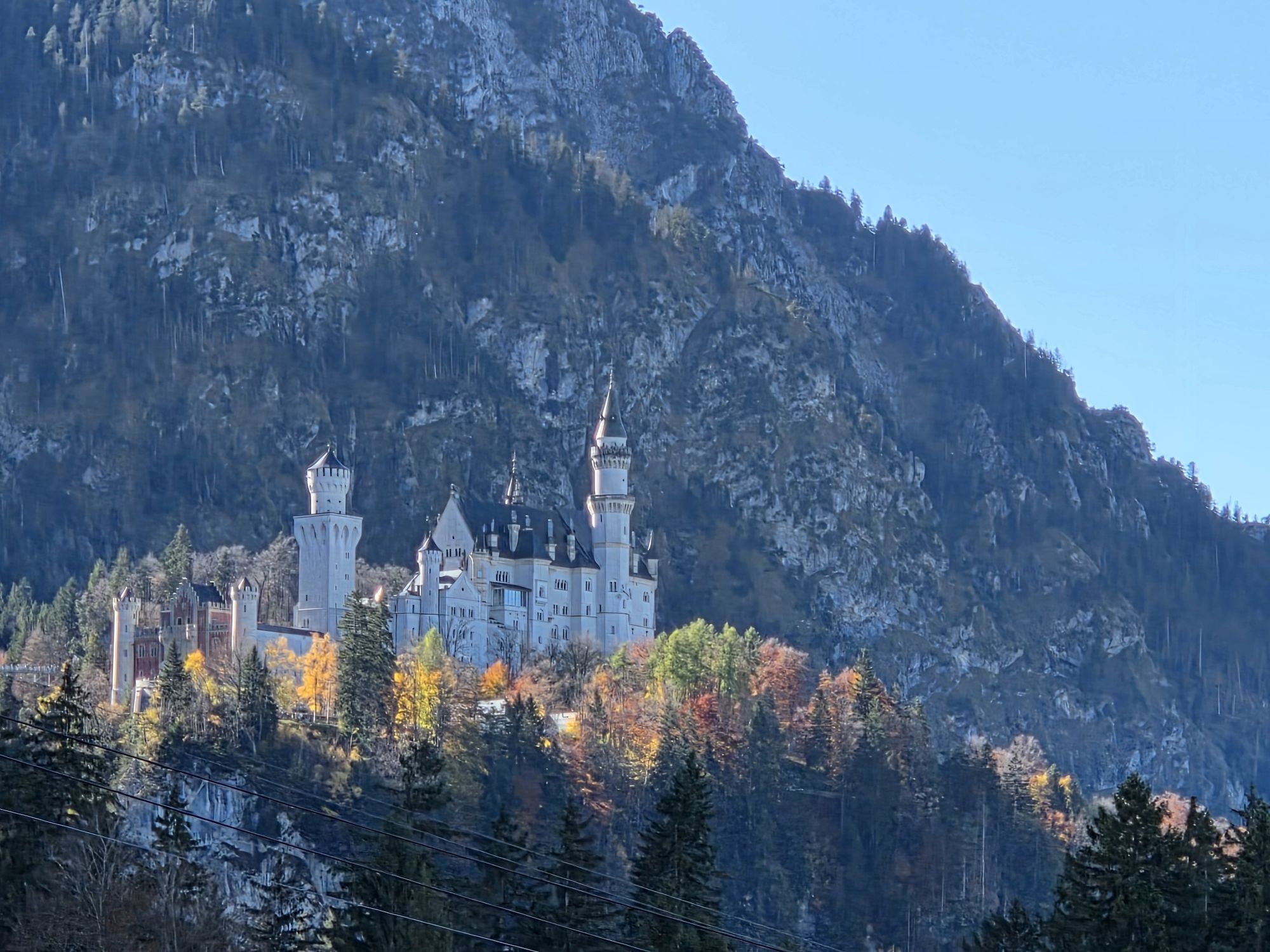
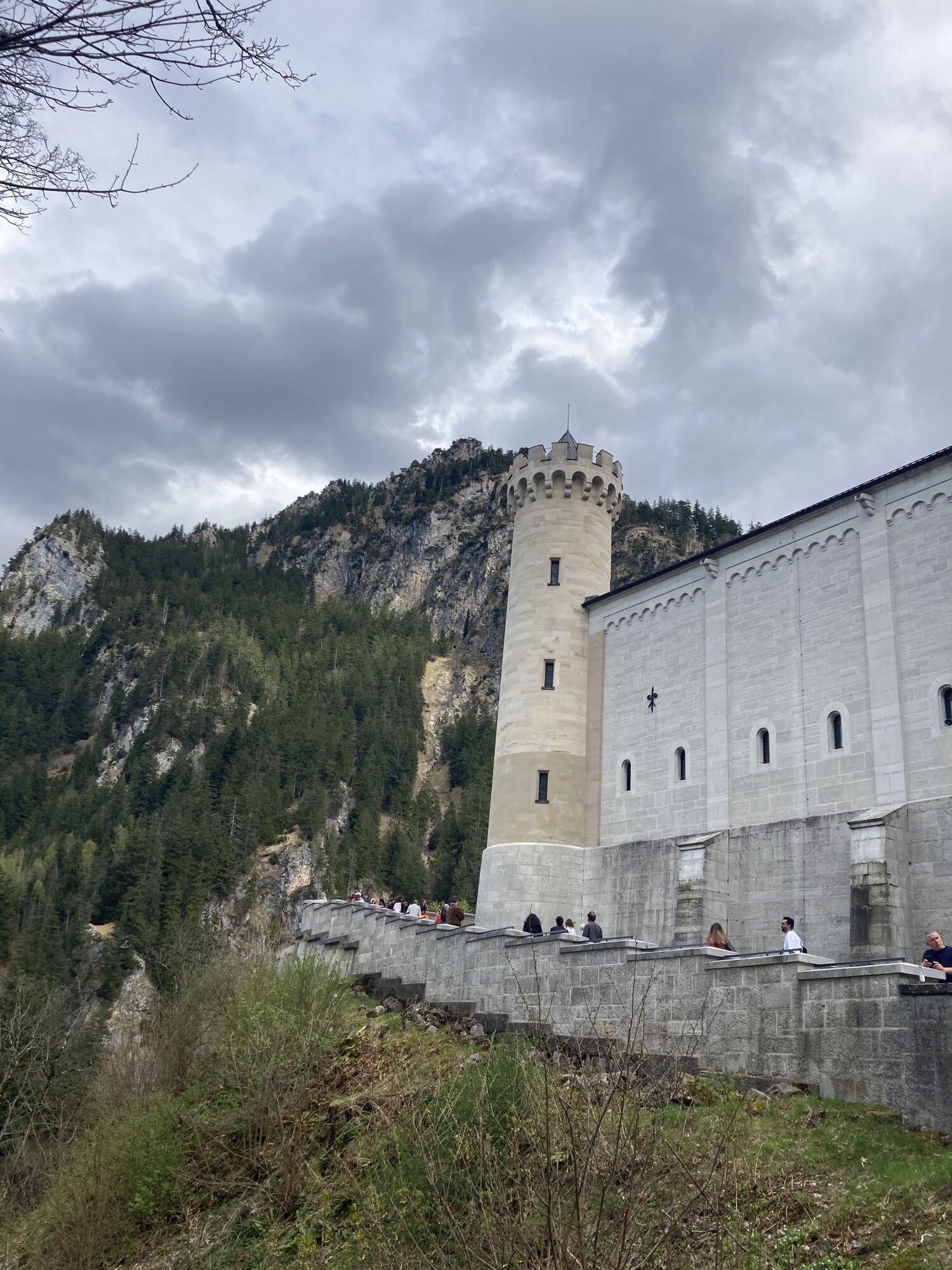

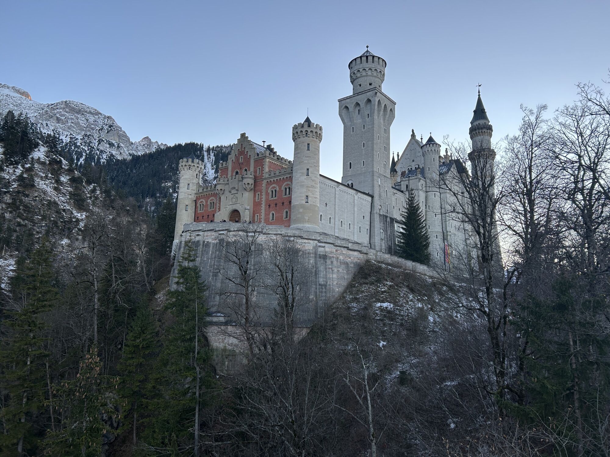

A royal pleasure walk with numerous castle views and a breathtaking finish at Alpsee. An easy hike with magnificent views and cultural highlights. A must for all pleasure hikers in Schwangau, also ideal...
A royal pleasure walk with numerous castle views and a breathtaking finish at Alpsee. An easy hike with magnificent views and cultural highlights. A must for all pleasure hikers in Schwangau, also ideal with children.

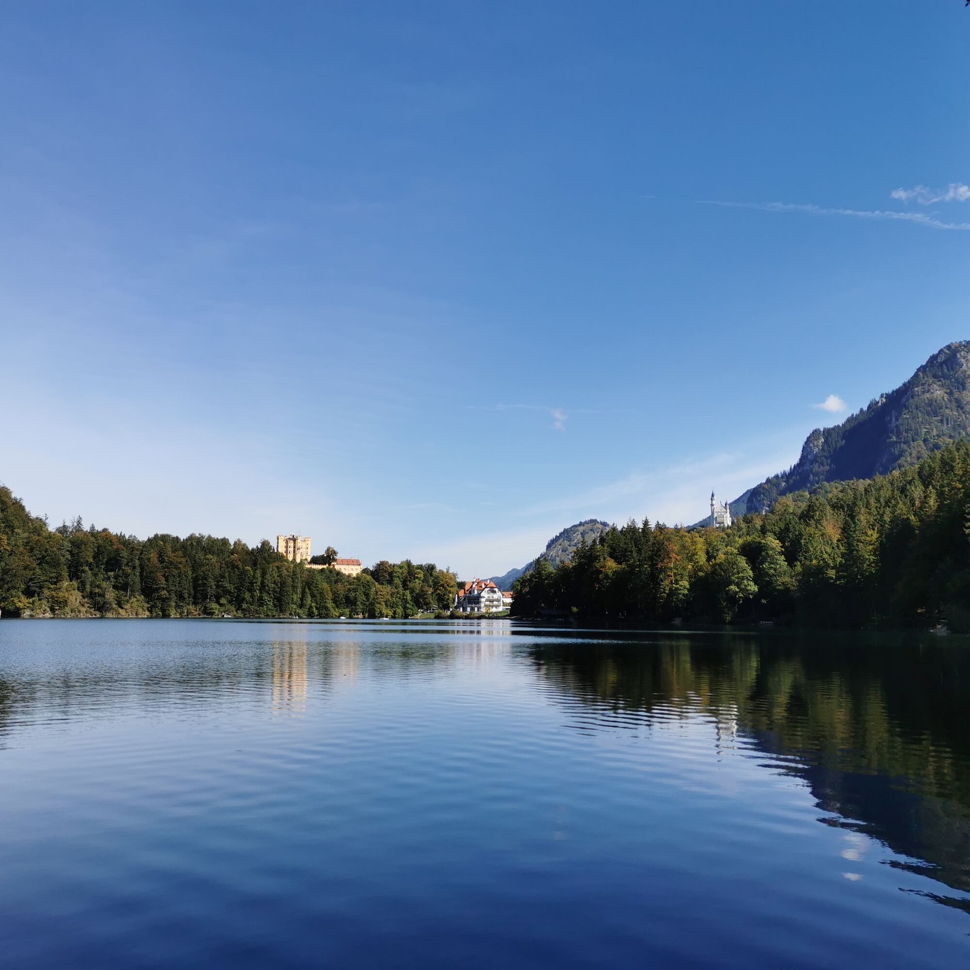
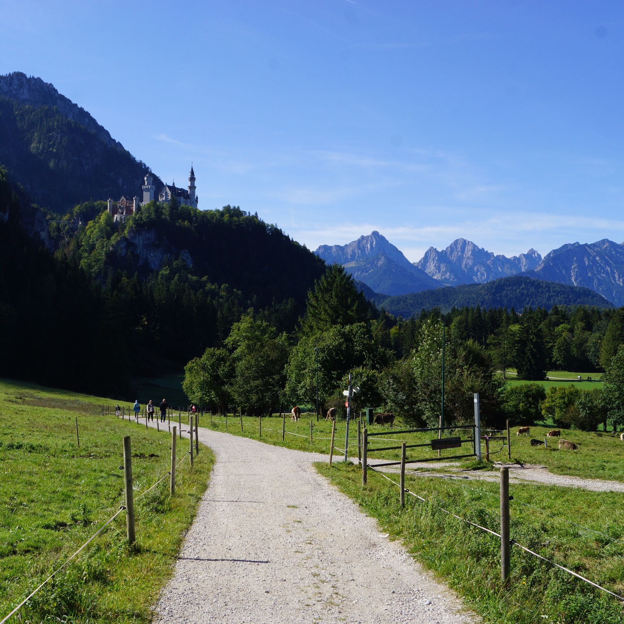
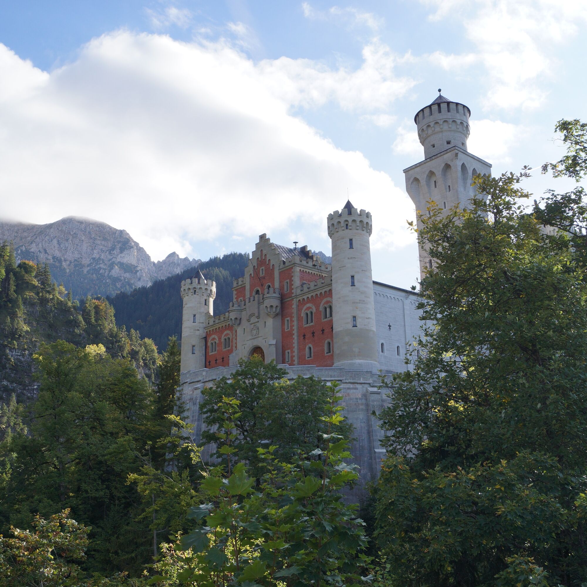
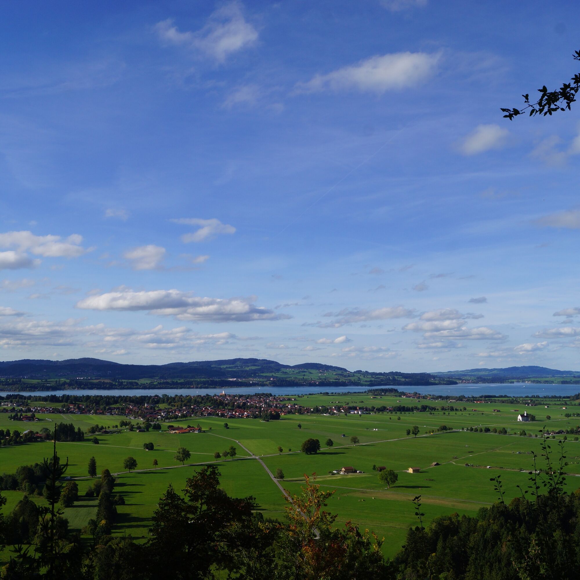
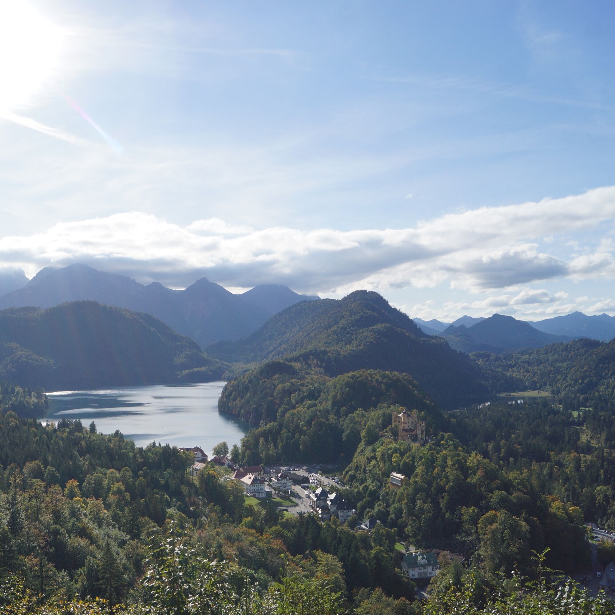
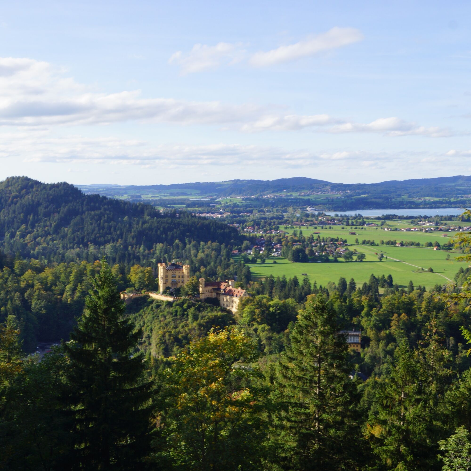
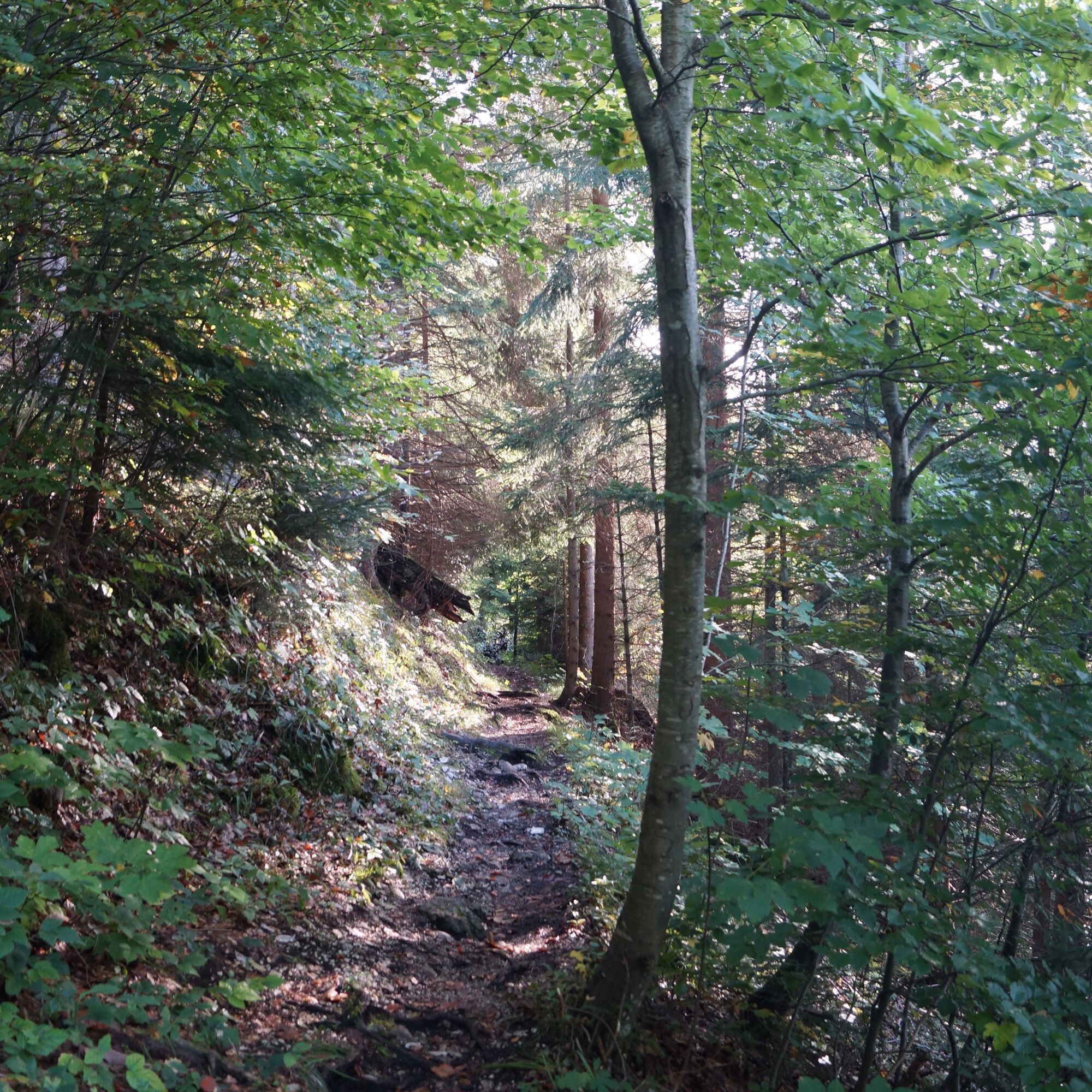
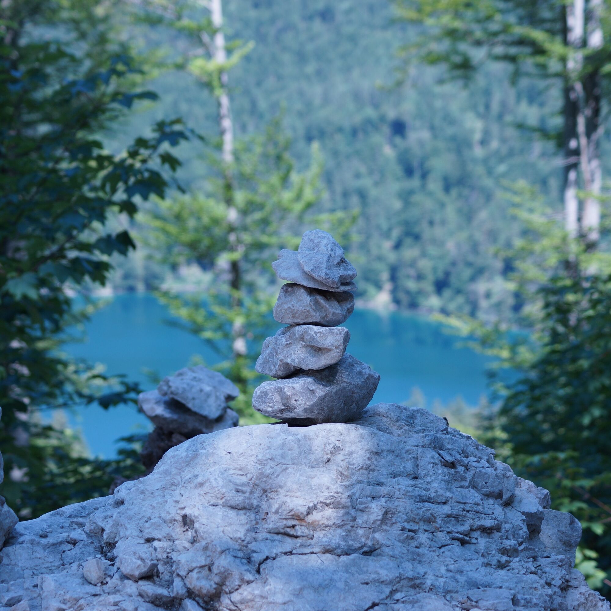
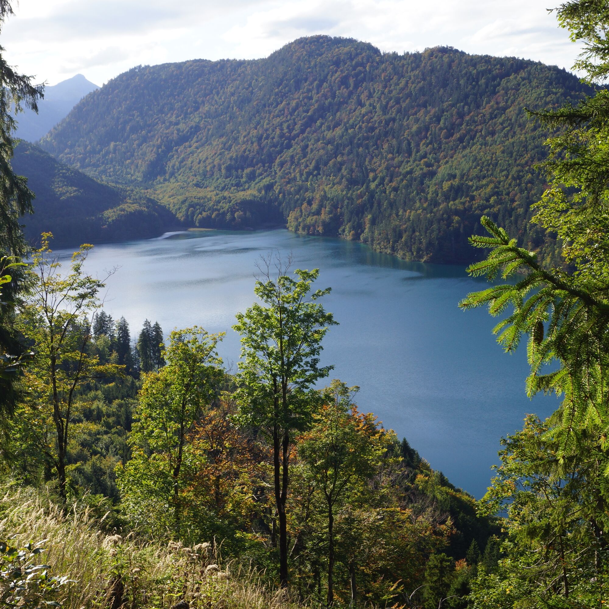
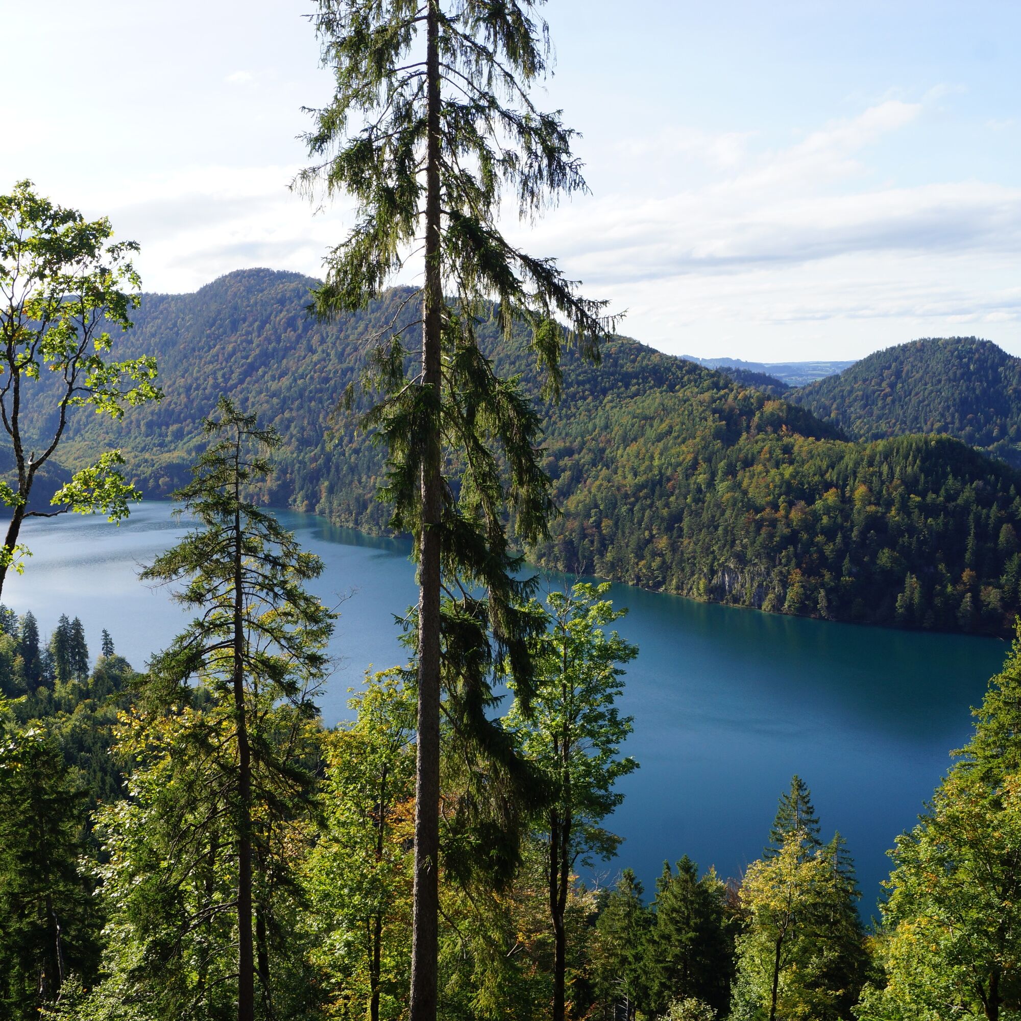

From the Tegelberg valley station, walk past the Reith lift and the "Gipsmühle" building towards Hohenschwangau. In the Hohenschwangau district, keep left and walk along the path directly beside the sports field of the Hohenschwangau grammar school. Then turn left and follow the asphalt road through the forest.
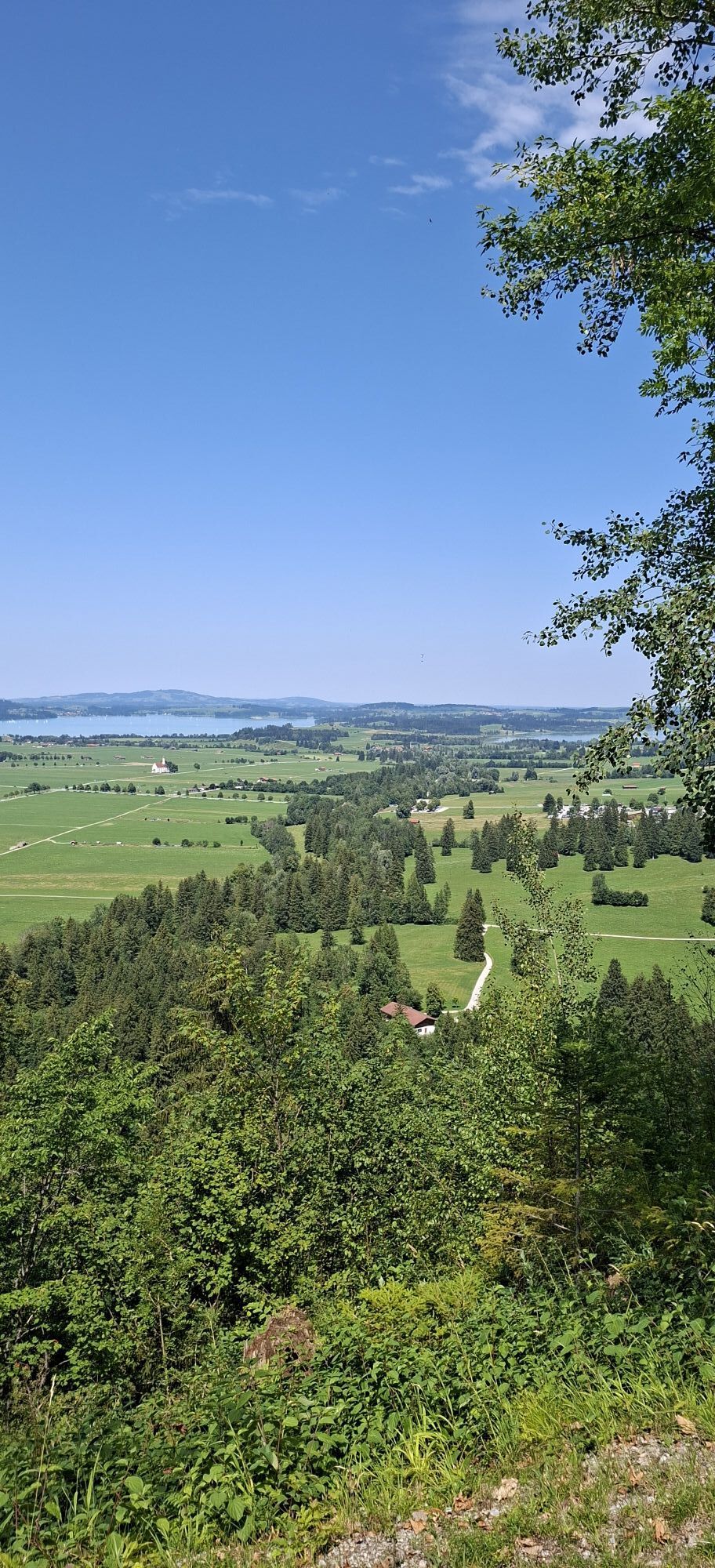
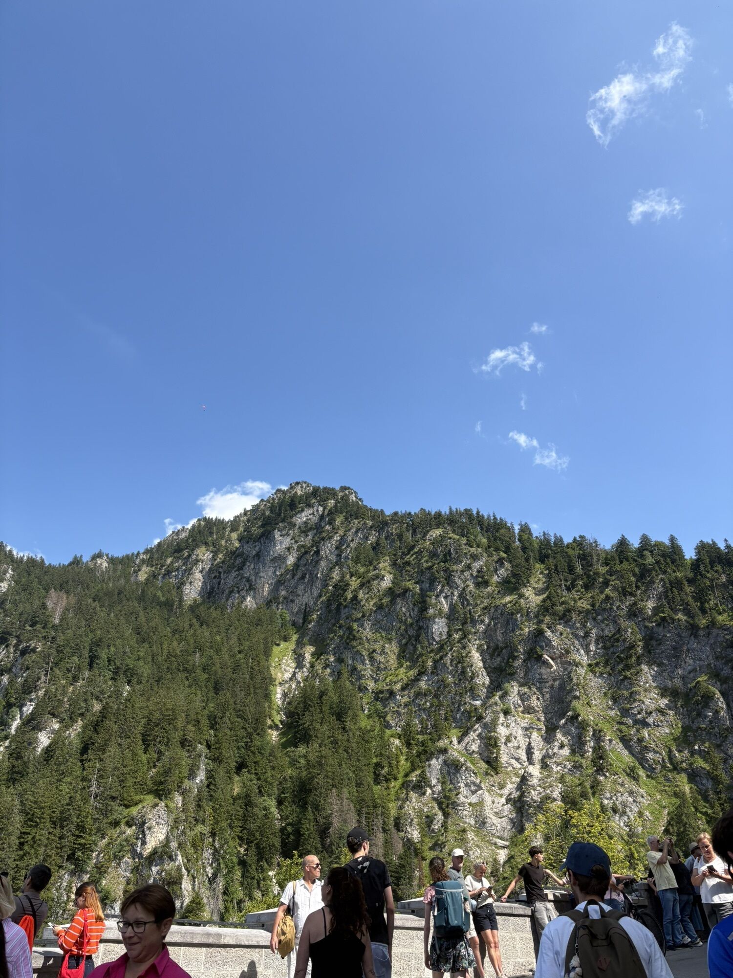
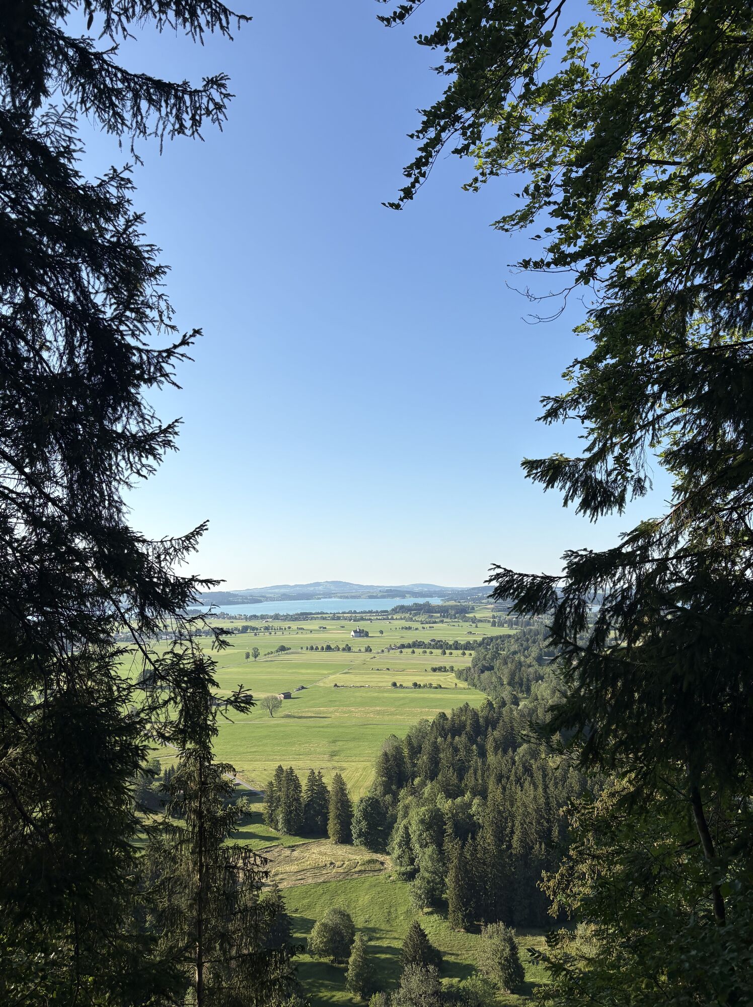
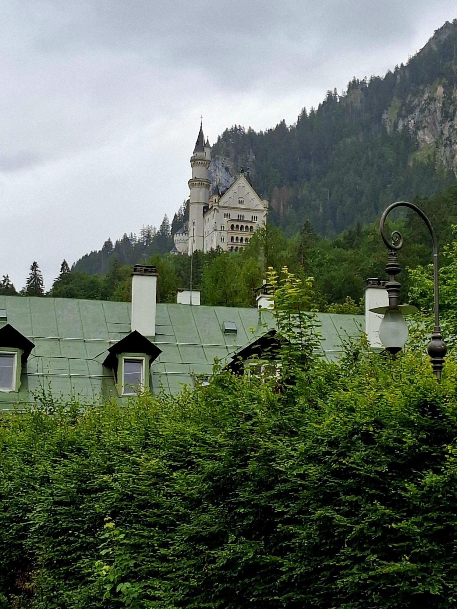
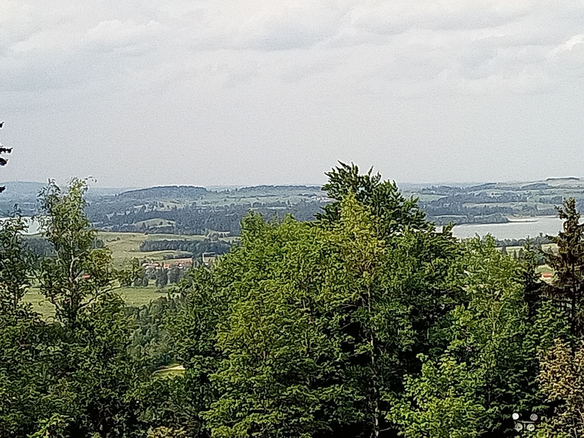
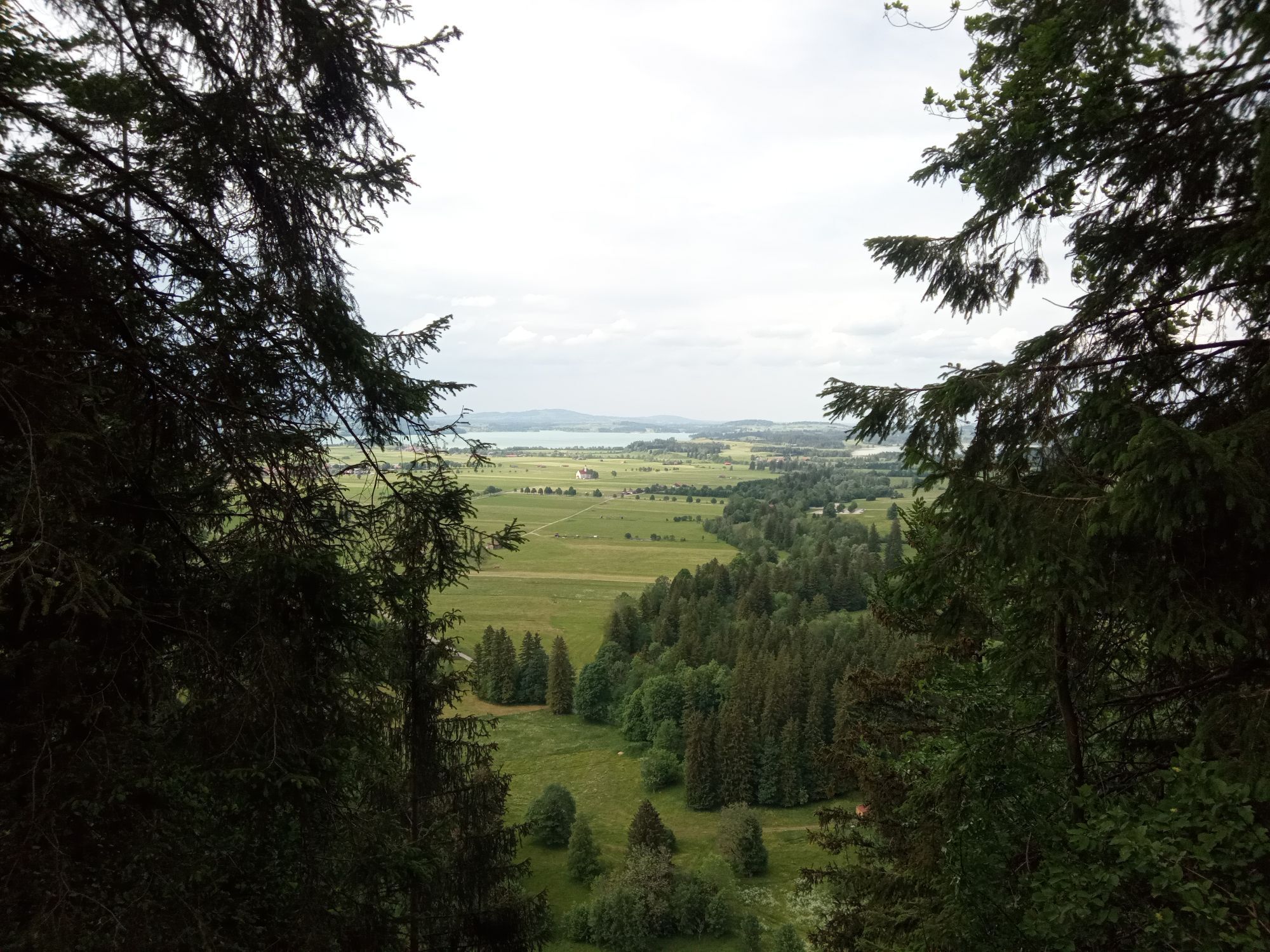
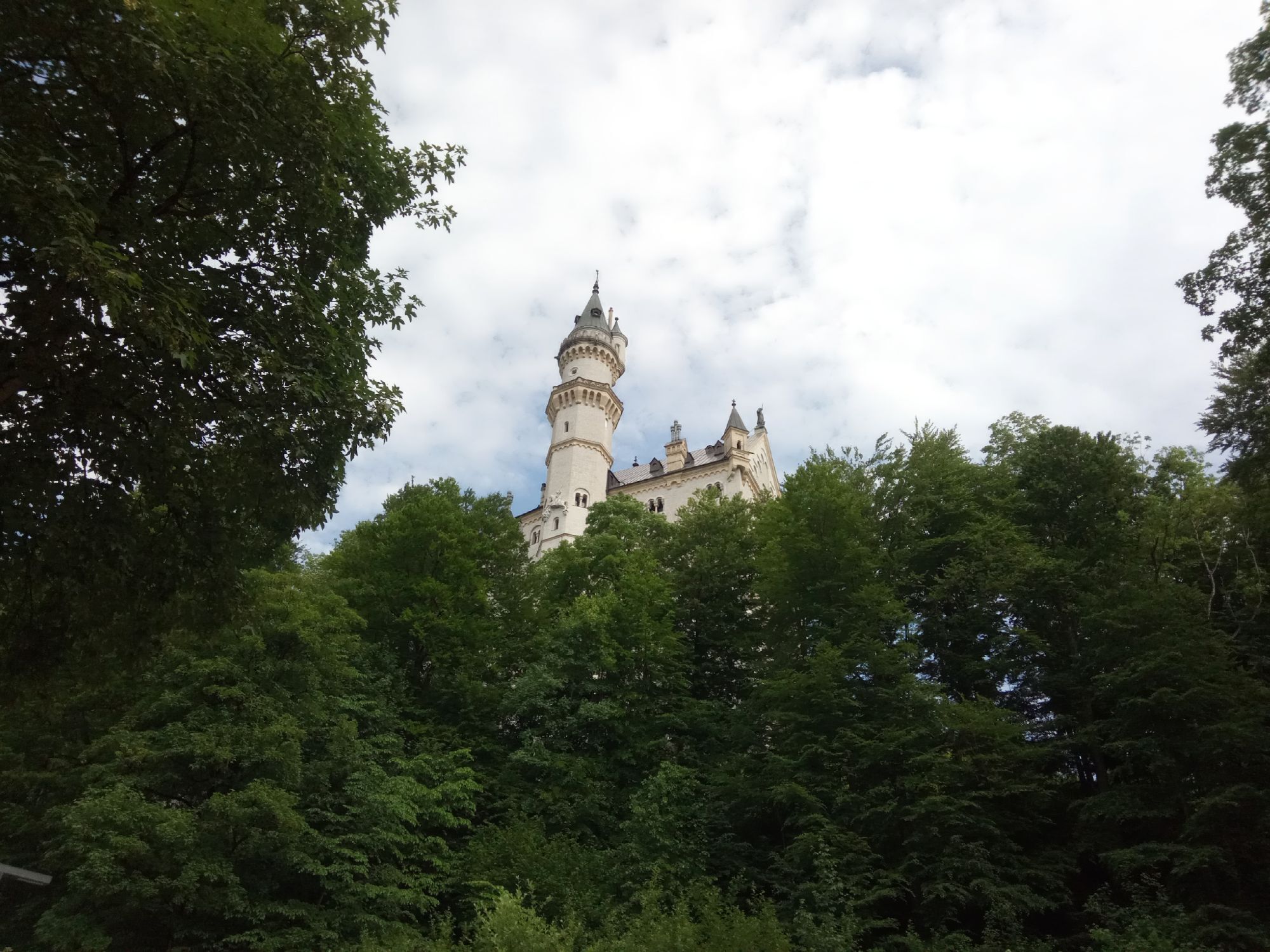
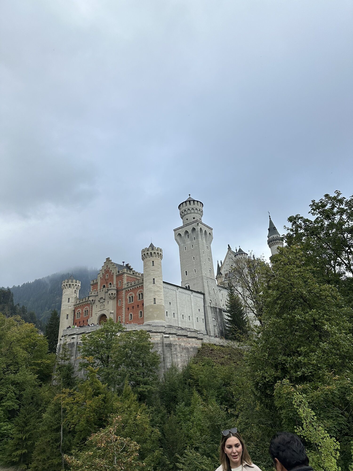
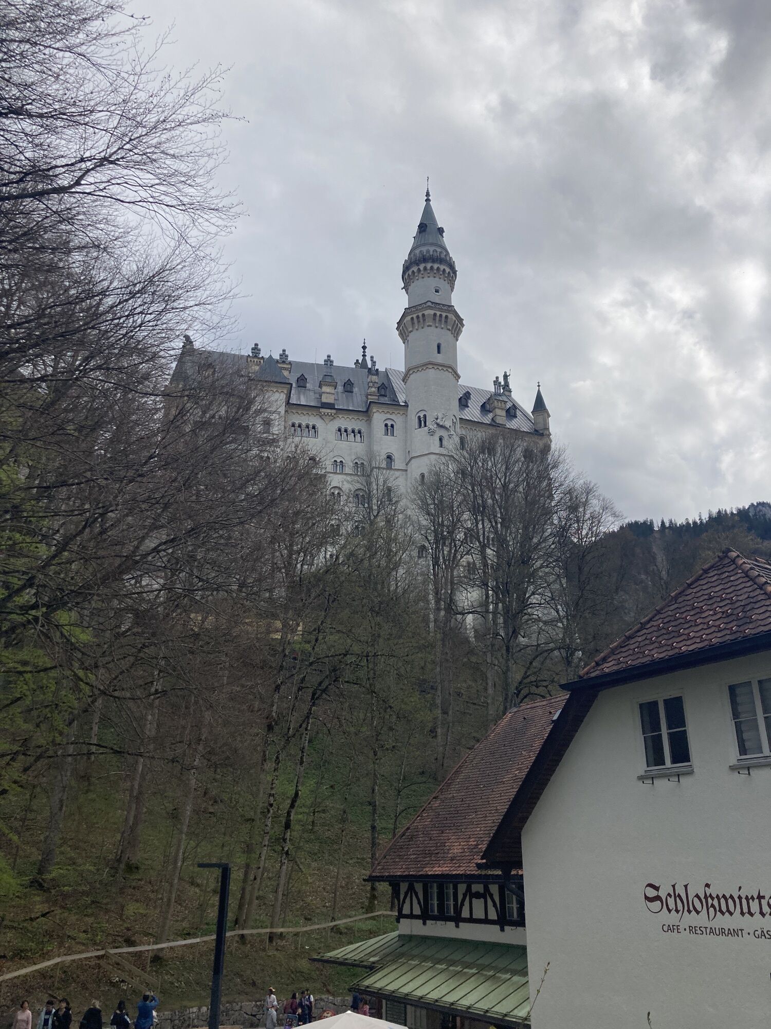
After a short time, you will reach Neuschwansteinstraße, where you go uphill for a short time. Passing the carriage stops, you will reach the lively "Zimmermannsplatz." The viewing platform there is very popular for photos with Neuschwanstein Castle. In the opposite direction, there is a magnificent view of Schwangau, Forggensee, and the surrounding villages.
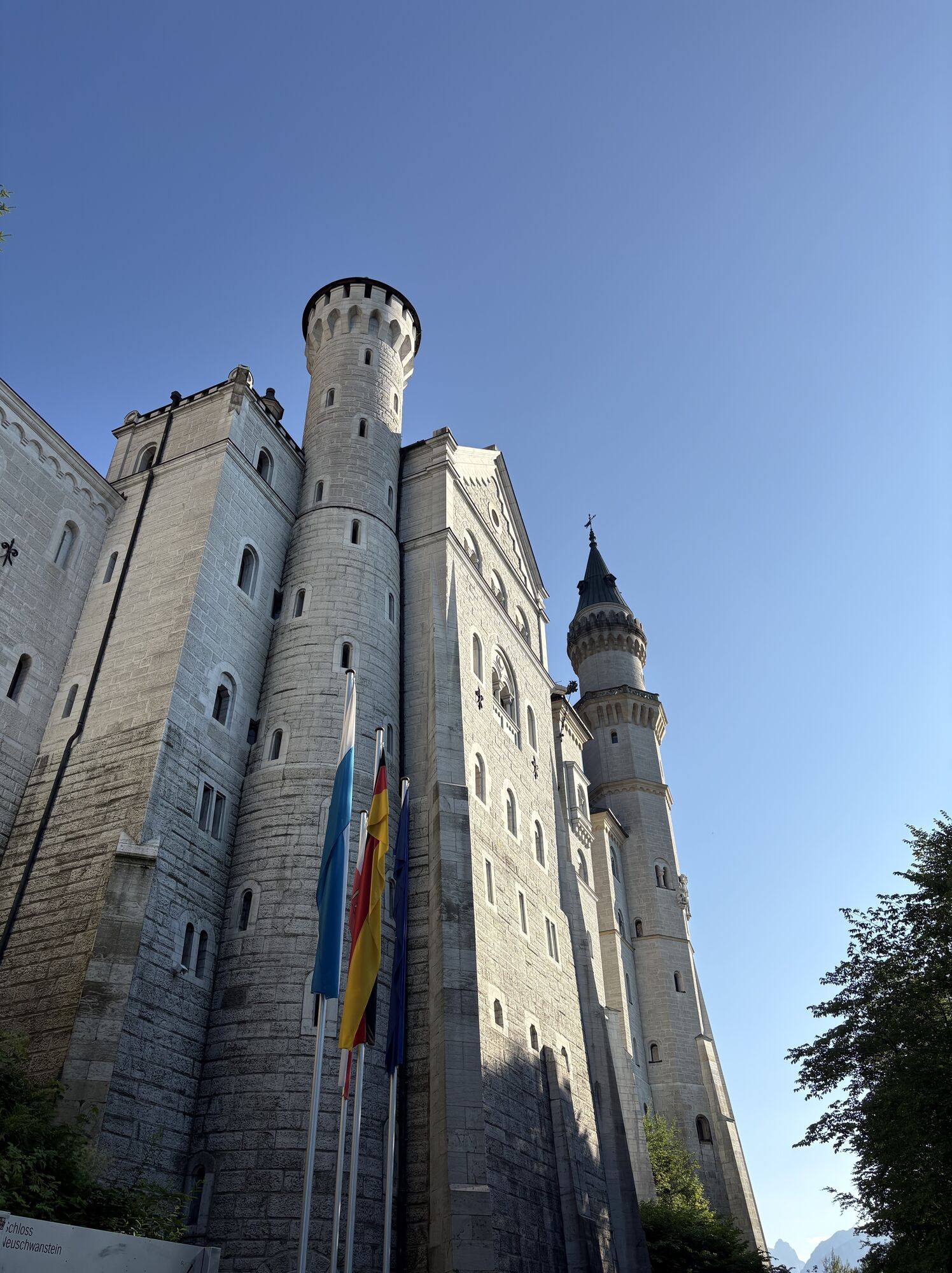
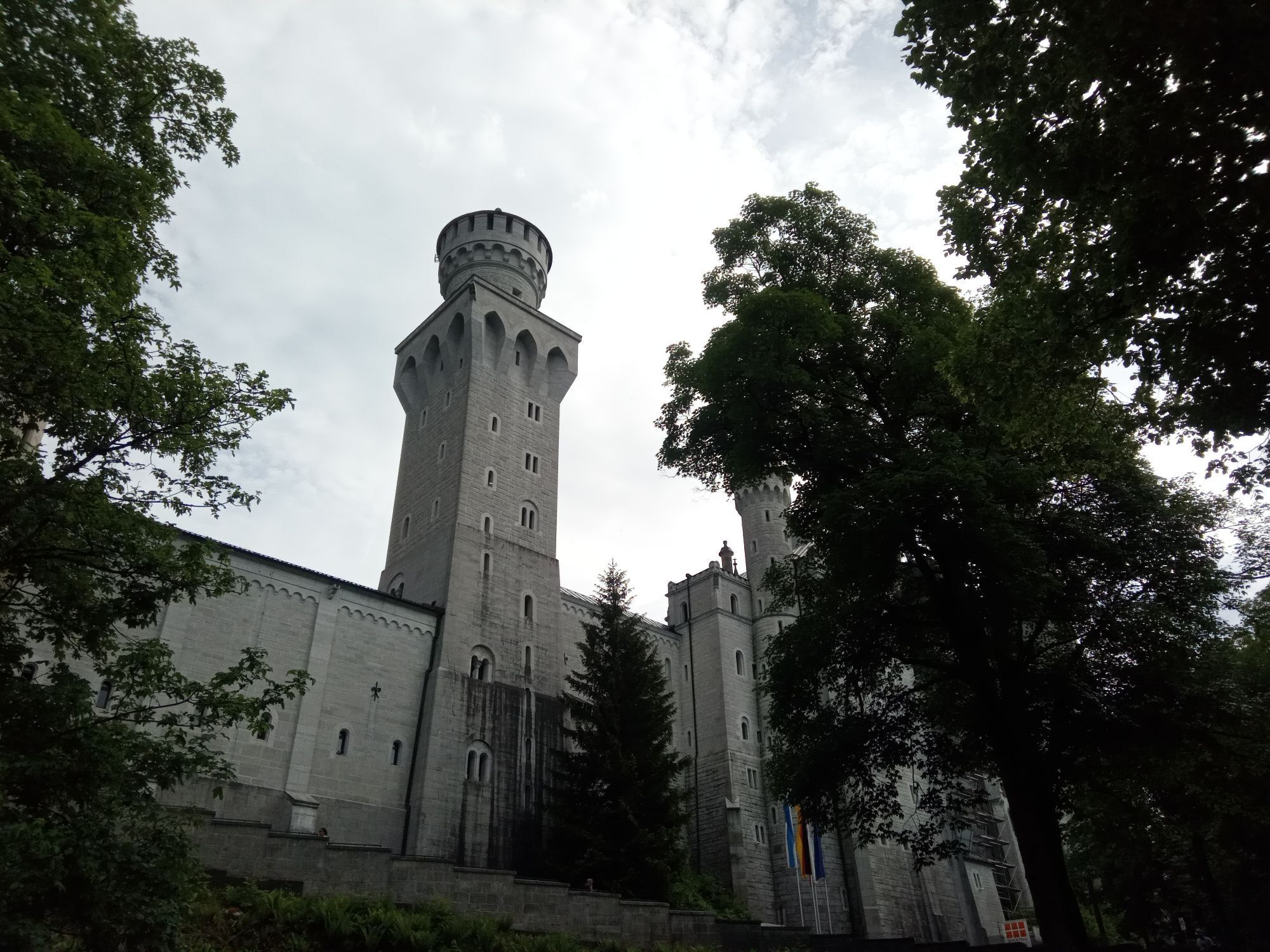
If you have pre-booked a castle tour, from here it is about a 5-minute walk to the main portal of the castle (information on castle tickets at: www.hohenschwangau.de). Without an appropriate ticket for a tour, you can reach the entrance gate before the inner courtyard of Neuschwanstein Castle.
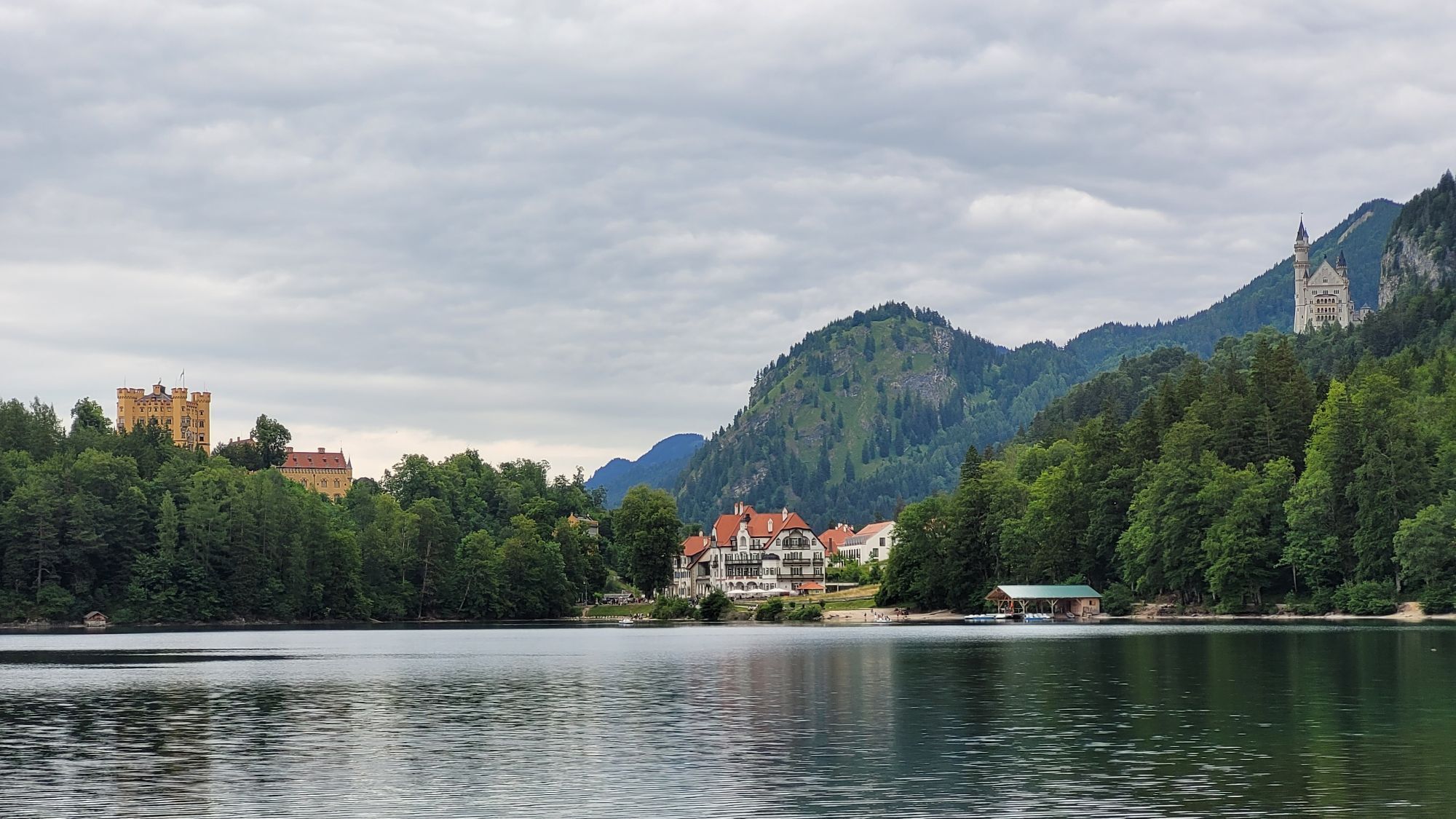
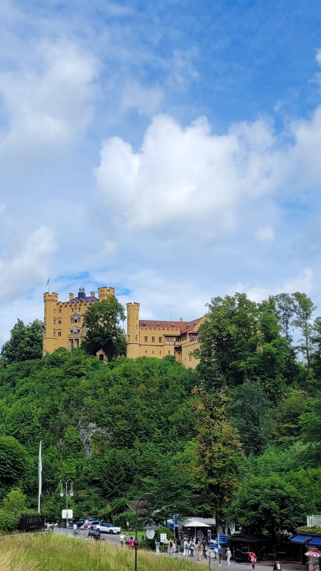
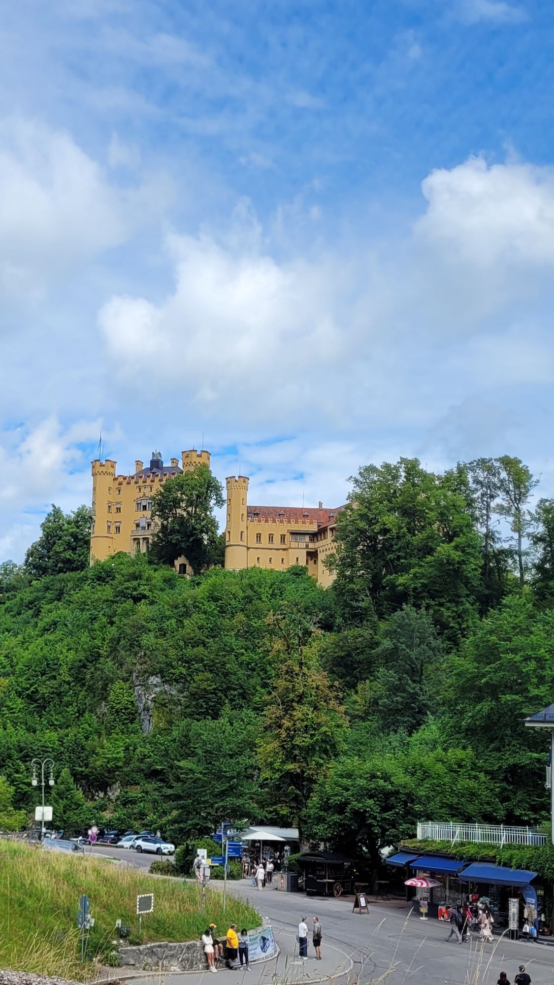
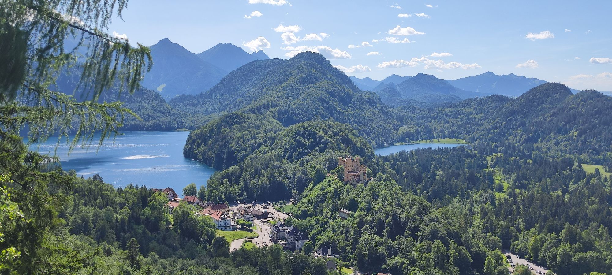
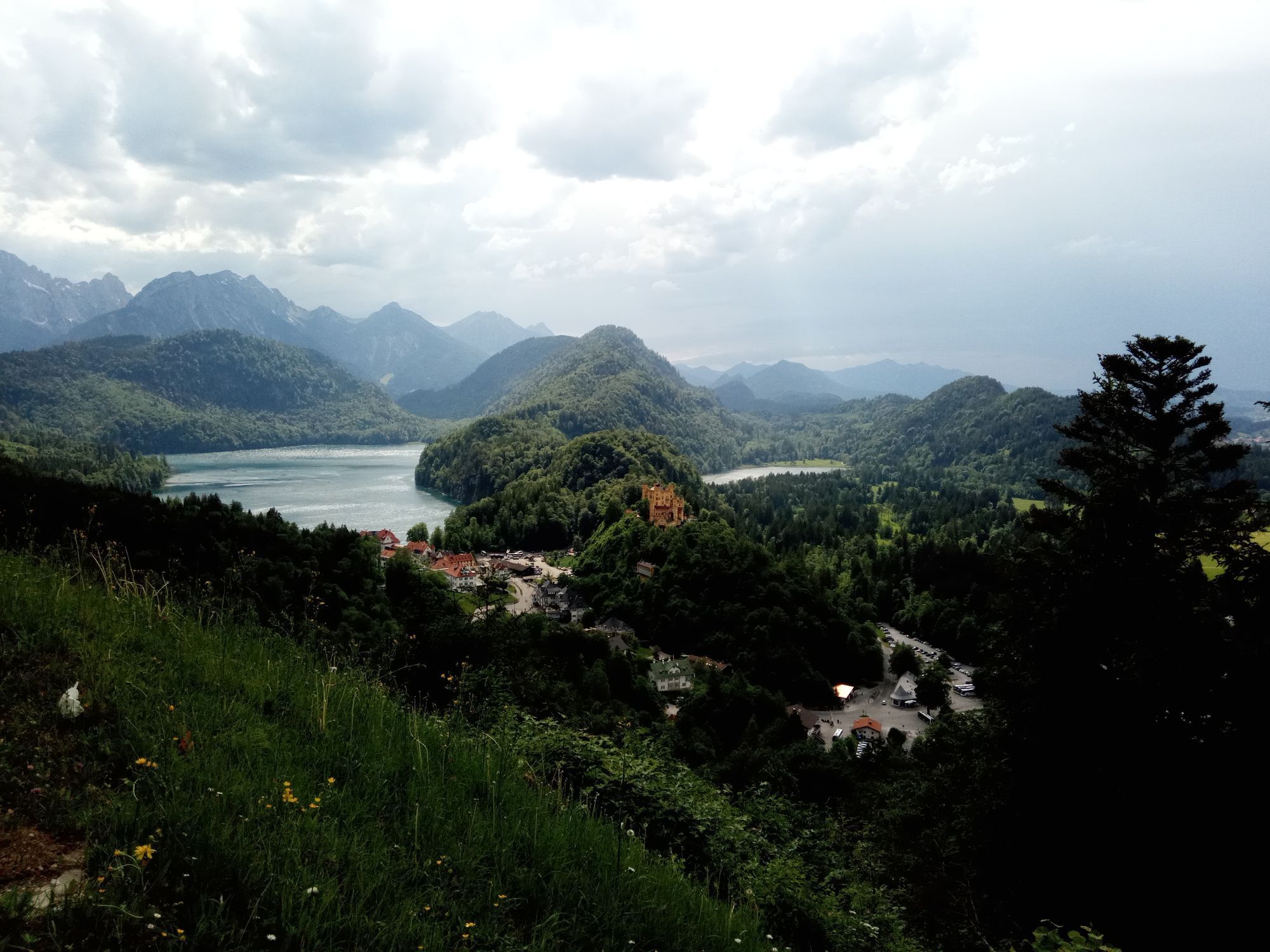
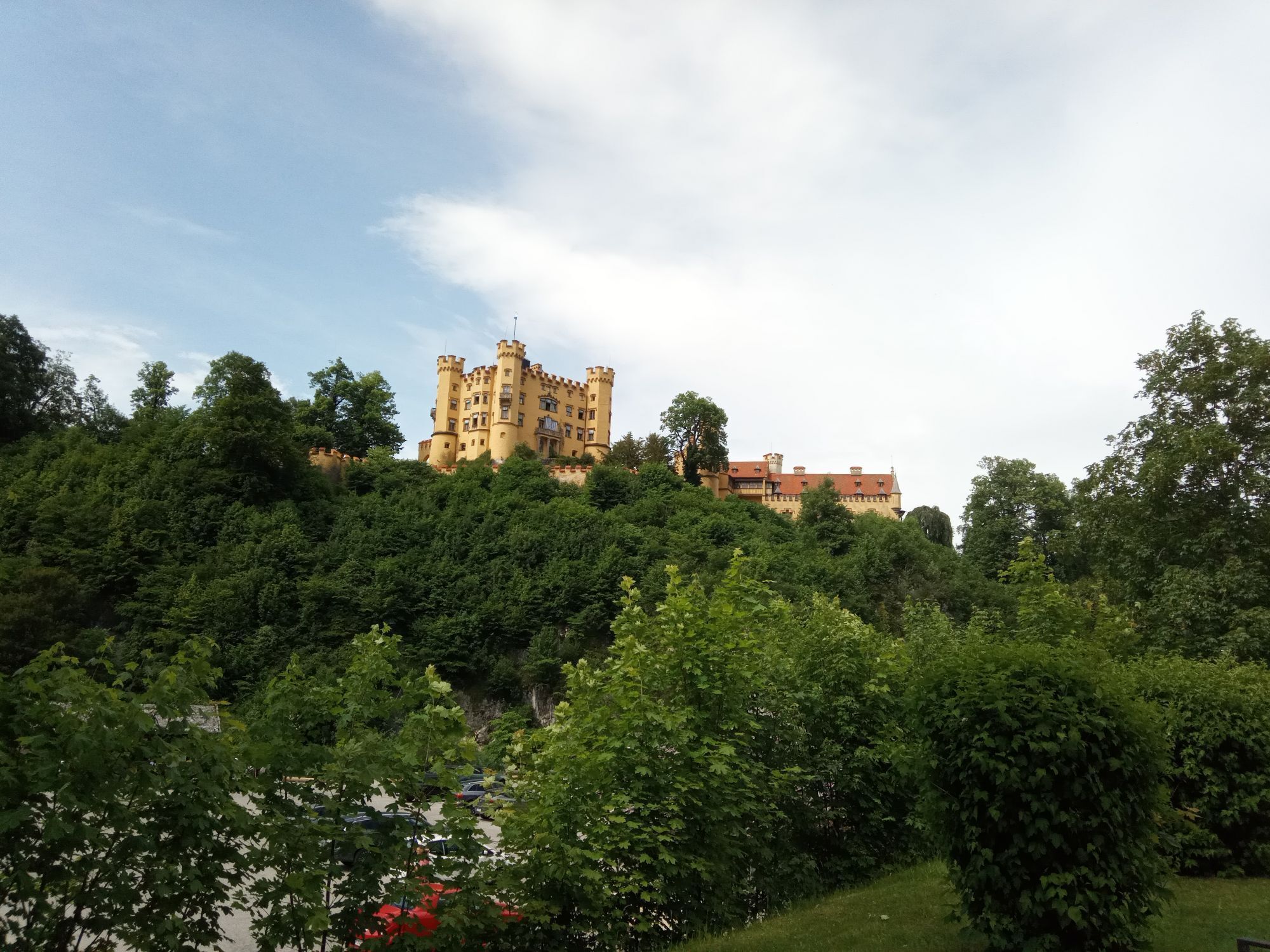
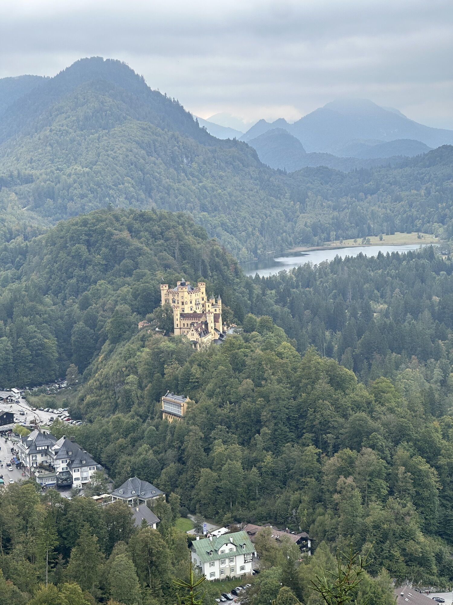
Alternatively, go directly below the castle towards the "Youth" bus stop. On the way, there are beautiful views of the district and Hohenschwangau Castle as well as the Alpsee. Upon arrival at "Youth," a short detour to a viewpoint is worthwhile. To do this, simply follow Bleckenaustraße for about 100 m; on the left side, a wonderful view of Marienbrücke with Neuschwanstein Castle in the background opens up. Please note the regular bus traffic on the narrow road.
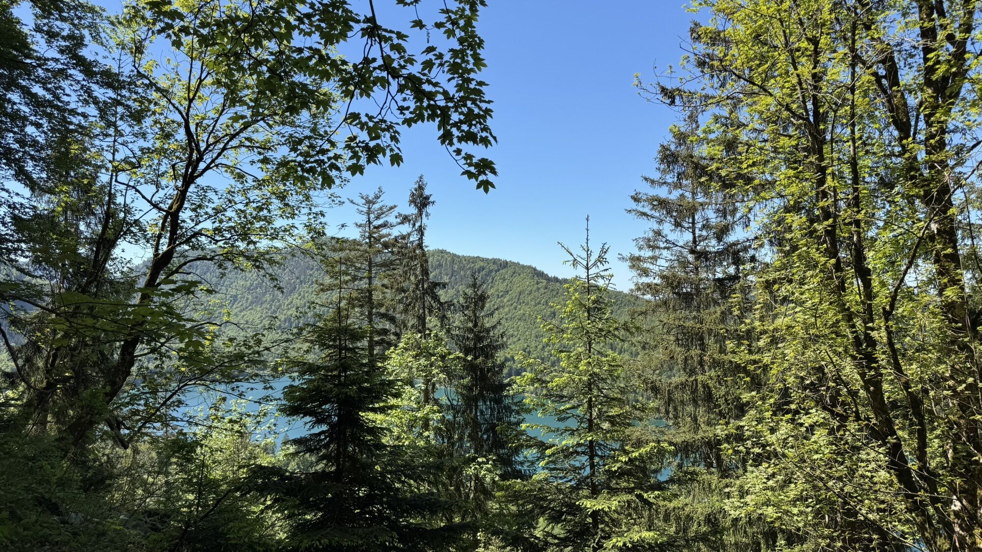
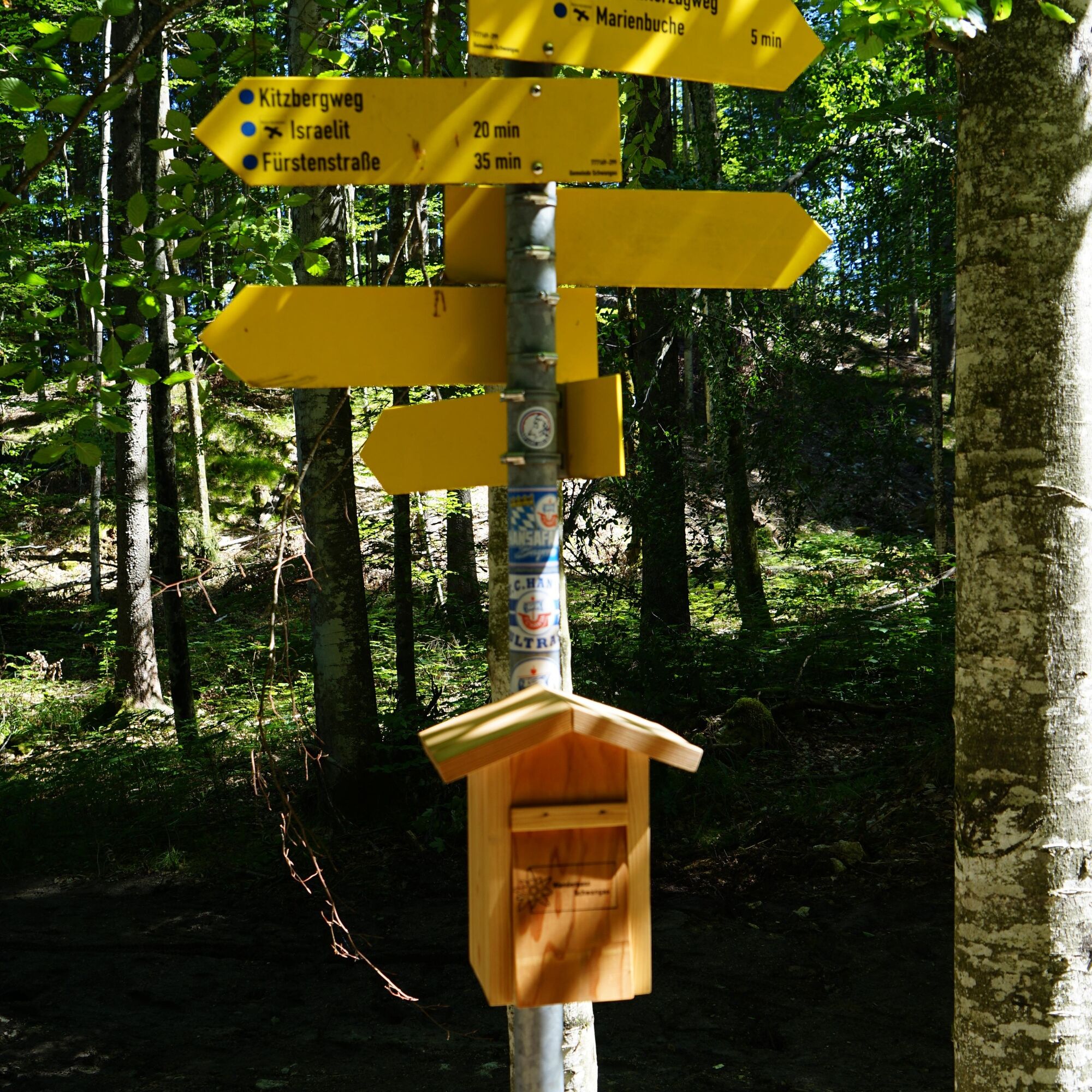
Back at "Youth," first ascend the Wasserleitungsweg/Brunnstubenweg and after about 300 m turn right onto the Upper Winterzug path. Through the forest, this narrow hiking trail above the Alpsee requires surefootedness. Then you will reach a wide gravel road and take the left turn. After a curve, take a small path down to Alpsee on the right. From here, you need about 25 minutes to Alpsee and about 45 minutes to Hohenschwangau. At the next junction, follow the sign "Israelit."
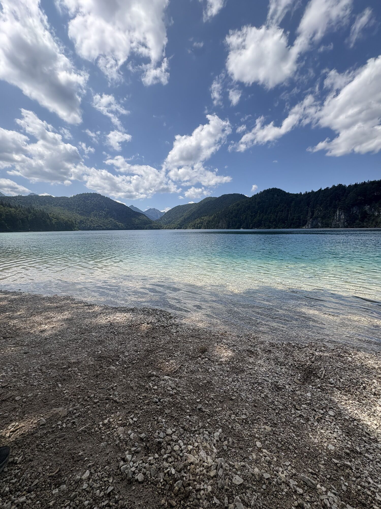
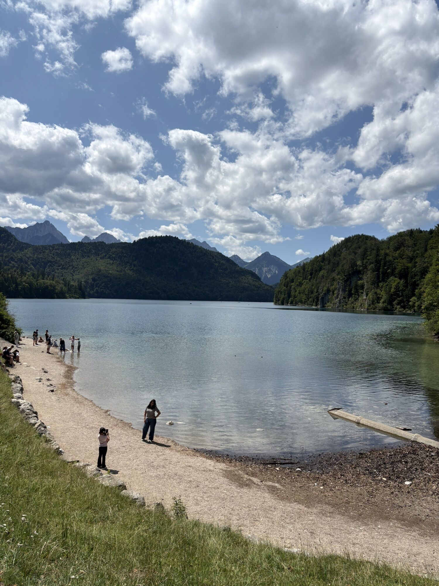
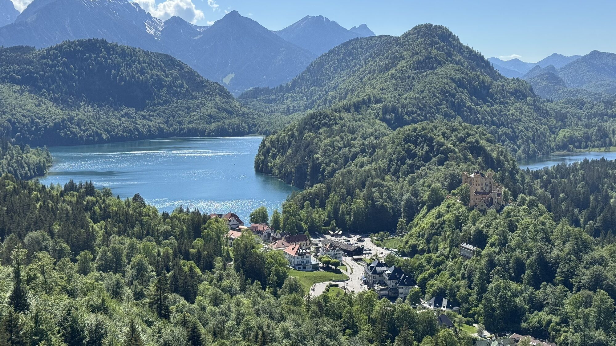
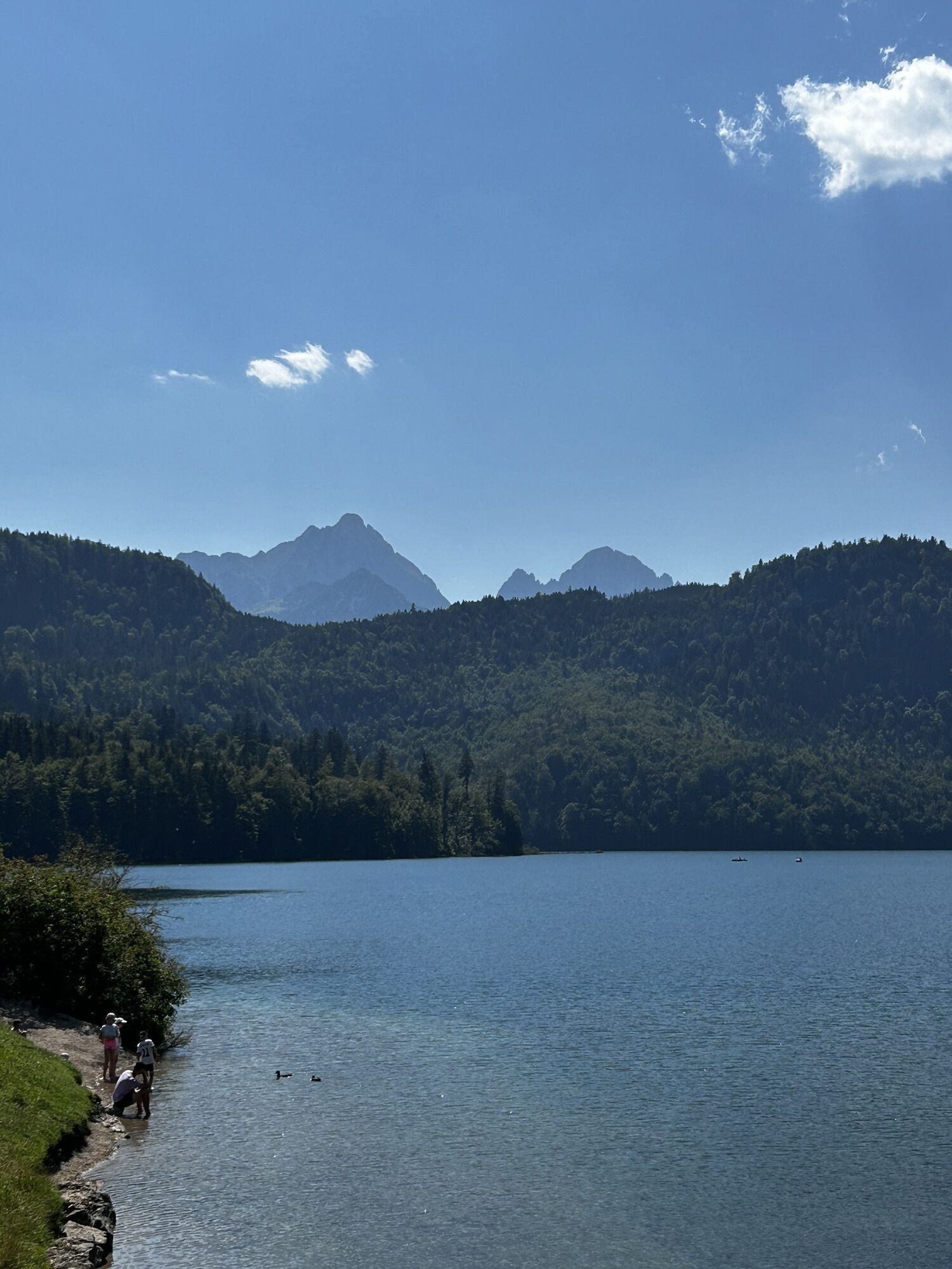
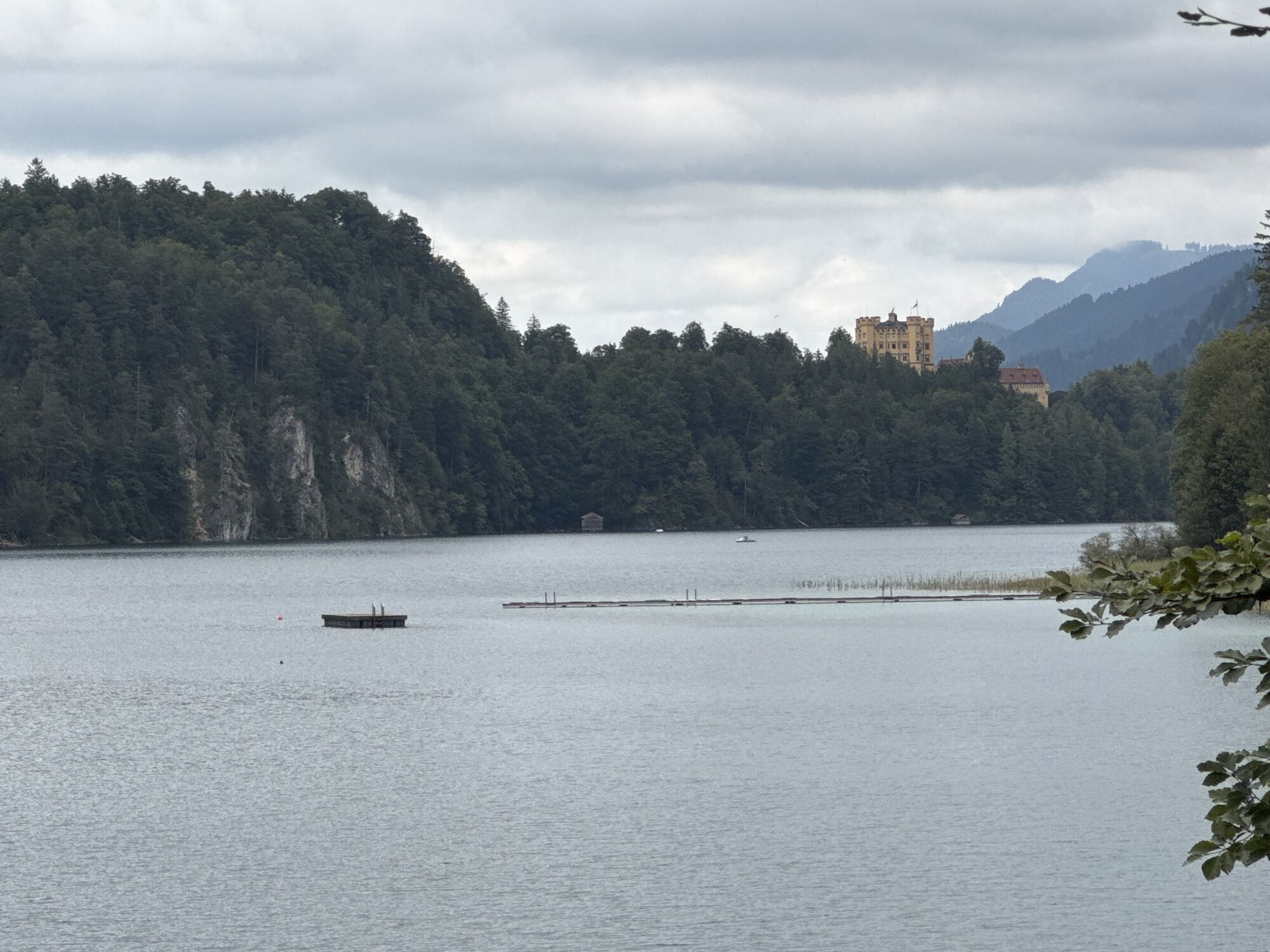
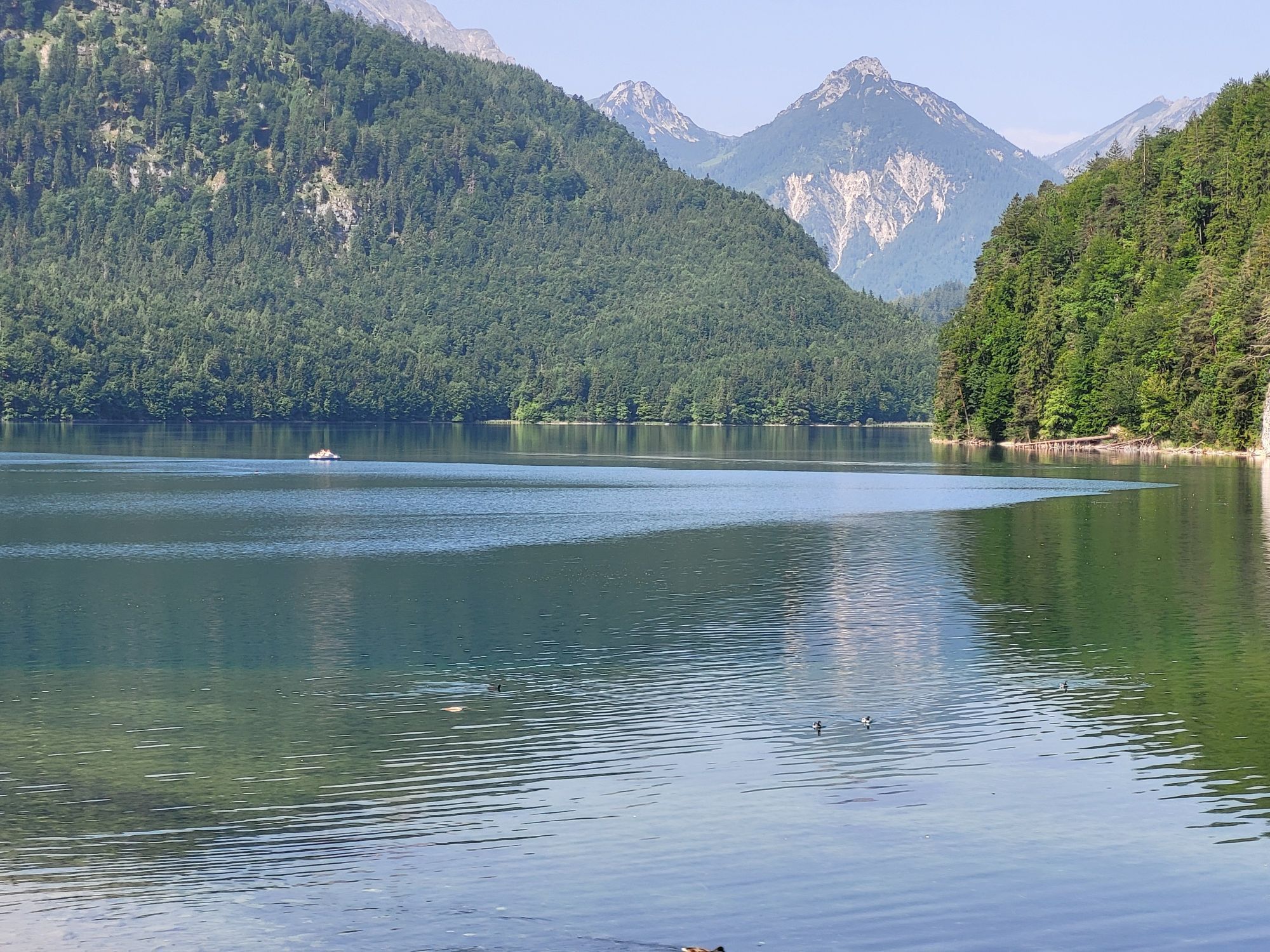
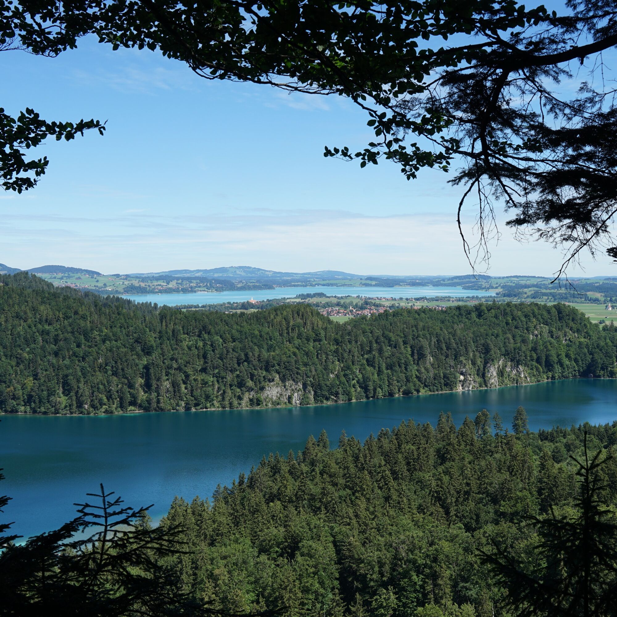
Then you reach Alpsee. From here, you can hike back to Hohenschwangau along the path along Alpsee on the right side and enjoy beautiful views of the two castles. From Alpsee, follow Alpseestraße back towards Neuschwanstein Castle. At this point, the return trip by regular bus from the tourist information is offered. Alternatively, you can finish the circular hike along the "Pöllat" again at the Tegelberg valley station. For this, keep right at the end of Alpseestraße and cross parking lot P3 to the forest edge. This hiking trail brings you back to the same route you took at the beginning.
Tak
Tak
We recommend: weather-appropriate clothing, hiking boots, poles, drinks, snacks, and a first aid kit.
Coming from B17 or Schwangau, head towards "Tegelbergbahn" (Tegelbergstraße).
By train: to Füssen station (from there continue by bus)
By bus: Schwangau Tegelbergbahn bus stop (lines 73, 78, 9606, 9651)
Paid parking at the Tegelberg valley station. If no space is available there, paid parking is also available at the royal castles in Hohenschwangau. You can start the route in a shortened form from there (see details).
Places to eat and refresh: Reith-Alpe Schwangau (open only in summer), Lisl Restaurant and Terrace (in Hotel AMERON), Hotel-Restaurant Müller, Hotel-Restaurant Alpenstuben, Schlossbräustüberl:
Upon arriving at Alpsee, you can still walk around the lake (approx. 3.6 km, 1 hour). At the end, you will reach Hohenschwangau again.
After arriving in Hohenschwangau on the shore of Alpsee, directly in front of the Museum of the Bavarian Kings, it is definitely worth walking up to Pindarplatz, a beautiful viewpoint (approx. 550 m).

Kamery internetowe z trasy
-
Tegelbergbahn Bergstation
-
Tegelberghaus
-
Füssen - Wellness Hotel Sommer
-
Segelclub Füssen
-
Schloss Hohenschwangau
-
Ludwigs Festspielhaus Füssen
-
Forggensee
-
Schwangau - Blick auf den Tegelberg
-
Hotel Hirsch
-
Schwangau - Schlossbrauhaus
-
Schwangau - Tegelbergbahn
-
Tegelberg Landeplatz
-
Fernpassstraße B179
-
Fernpassstraße B179
-
Fernpassstraße B179
-
Fernpassstraße B179
-
Fernpassstraße B179
-
Fernpassstraße B179
-
Fernpassstraße B179
-
Fernpassstraße B179
Uzyskaj wgląd
Zawsze na żywo z ponad 9 500 kamer internetowych. bergfex Jako użytkownik Pro, możesz teraz zobaczyć odpowiednie kamery internetowe dla wielu wycieczek w aplikacji wycieczki od. Pozwala to na bezpośredni podgląd aktualnych warunków.

Popularne wycieczki w okolicy
-
4,8
Thaneller
średniWędrówka 4,90 km -
4,7
Around Weißensee
światłoWędrówka 6,12 km -
5,0
Hiking tour to Breitenberg
ciężkiWędrówka 15,6 km -
4,7
Forggensee round
średniJazda na rowerze 32,5 km -
4,1
Drehhütte
światłoWędrówka 3,34 km -
4,5
Circular hike Dreh- and Rohrkopfhütte
światłoWędrówka 8,76 km -
4,9
Gemeinde Grän, Tirol/Österreich Aggenstein Rundtour über Höhenweg
średniWędrówka 9,84 km -
4,9
Tegelberg | Branderschrofen | Neuschwanstein
średniWędrówka 14,8 km -
4,8
Do schroniska Bad Kissinger Hütte przez Gräner Höhenweg
średniWędrówka 13,0 km -
4,4
Rundwanderung Stuibenfälle
średniWędrówka 3,92 km
Wędrówki i tropienie


Nie przegap ofert i inspiracji na następne wakacje
Twój adres e-mail została dodana do listy mailingowej.





