






Hike to the Edelsberg hut (formerly Gundhütte)» with audio stories for children in the Pfronten app
Playing the audio story "Magnus and the tracking search"
Along the way, you will find 7 audio points with the Pfronten Outdoor app. If you play the audio stories in sequence, you can listen to an exciting...
Playing the audio story "Magnus and the tracking search"
Along the way, you will find 7 audio points with the Pfronten Outdoor app. If you play the audio stories in sequence, you can listen to an exciting story about Magnus and his friends. The story is about children embarking on an adventurous hike to the Gundhütte.
To start the audio story, simply tap on the embedded audio points in the map view and play the stories.
Alternatively, you can activate the audio guide in the app. To do this, simply tap on the symbol with the 3 vertical dots (green circle, bottom right) in the map view and select "audio guide". The stories should then start automatically as soon as you approach the respective point on the map. We wish you lots of fun :)
Please note » possibly poor mobile reception! Please note that there may be poor mobile reception in the Vils valley and on the way to the Edelsberg hut. To avoid being unable to play the audio stories on site, it is possible to download the files. To do this, you must call up the individual waypoints in the map view and tap "download".

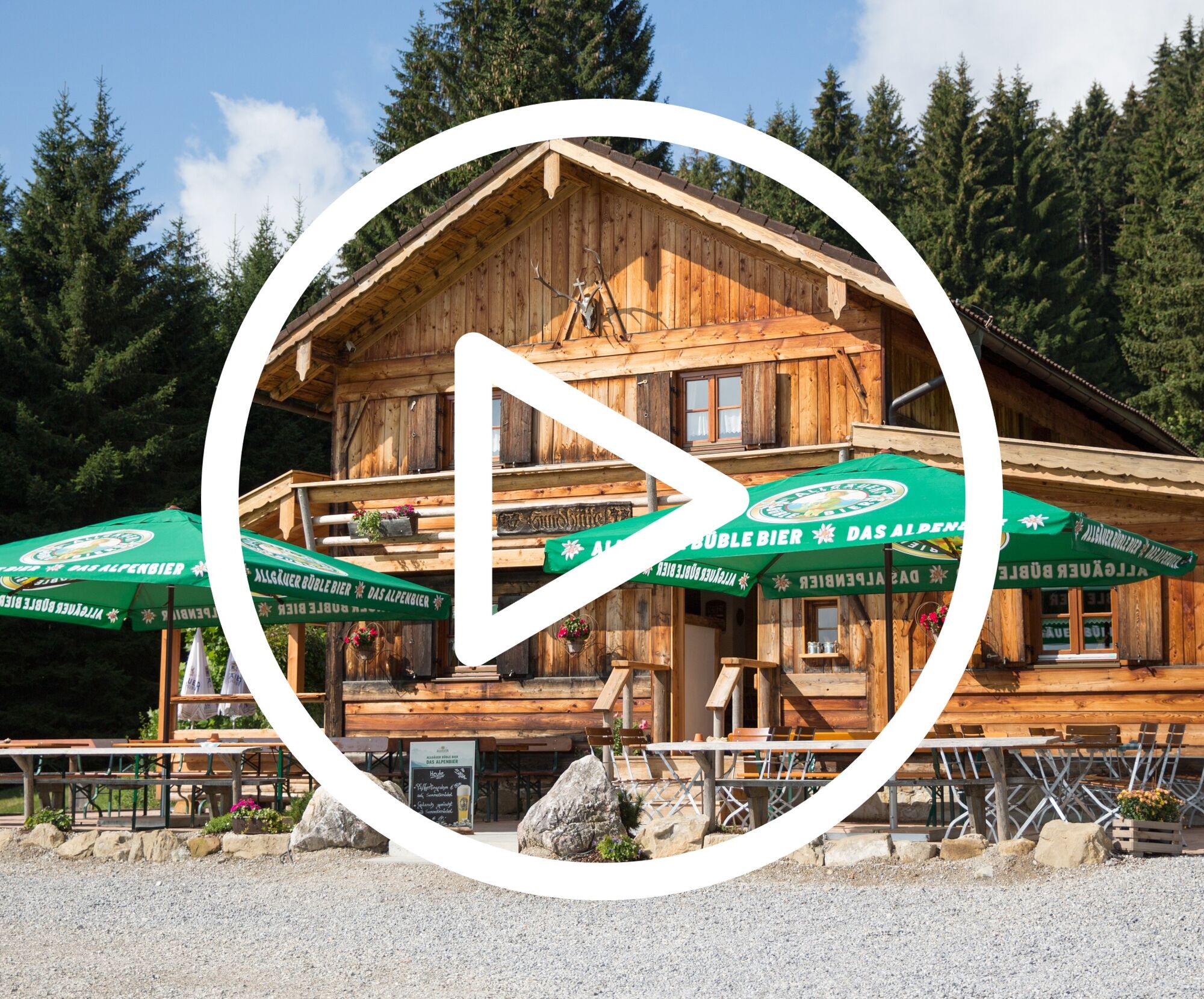
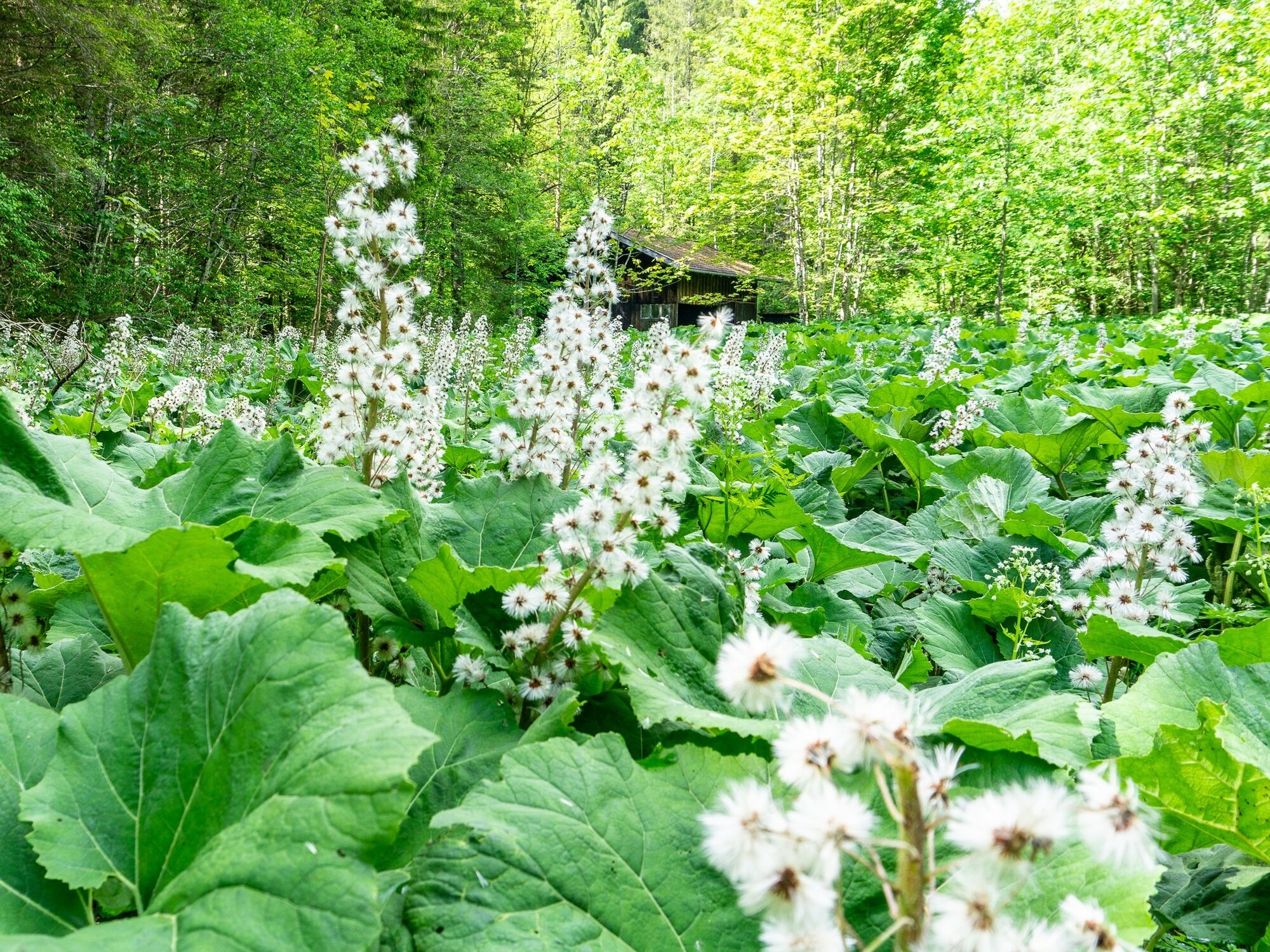
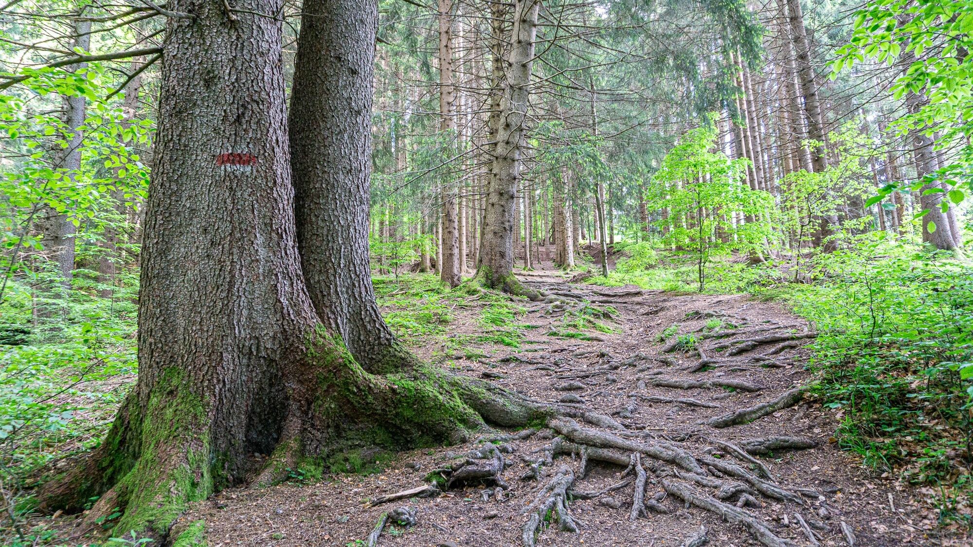

Short route description: The hike starts at the Indian playground in the Vils valley (here you will also find a large parking lot directly at the playground). You follow the Vils river for a few meters towards Pfronten before turning left. The path now leads you uphill through mountain forest to the popular Edelsberg hut.
Tak
A large parking lot is available at the Indian playground in the Vils valley.
When you have arrived at the Edelsberg hut, why not ask the hut keeper if you may take a look inside the "treasure chest". There is a little surprise for you there ;)

Kamery internetowe z trasy
Uzyskaj wgląd
Zawsze na żywo z ponad 9 500 kamer internetowych. bergfex Jako użytkownik Pro, możesz teraz zobaczyć odpowiednie kamery internetowe dla wielu wycieczek w aplikacji wycieczki od. Pozwala to na bezpośredni podgląd aktualnych warunków.
Popularne wycieczki w okolicy
-
4,8
Around Weißensee
światłoWędrówka 6,12 km -
5,0
Hiking tour to Breitenberg
ciężkiWędrówka 15,6 km -
5,0
Gemeinde Grän, Tirol/Österreich Aggenstein Rundtour über Höhenweg
średniWędrówka 9,84 km -
4,8
Tannheim / Vilsalpsee / Landsberger Hütte
średniWędrówka 15,7 km -
4,7
3-Gipfel-Tour
średniWędrówka 11,2 km -
4,2
Three-lake route (awarded the Tyrolean Hiking Trail Seal of Quality)
średniWędrówka 14,8 km -
4,6
3-Seen Rundtour Vilsalpsee / Schrecksee / Traualpsee
średniWędrówka 17,1 km -
4,9
Iseler und Kühgundkopf
średniWędrówka 7,63 km -
4,4
Wanderung auf den grünten
średniWędrówka 8,31 km -
4,4
Durchs Schneetal zum Hahnenkamm
średniWędrówka 14,1 km

Wędrówki i tropienie


Nie przegap ofert i inspiracji na następne wakacje
Twój adres e-mail została dodana do listy mailingowej.





