


Pilgrimage path Bad Wiessee (South route)


Like the second round, the so-called 'North route', this route starts at Lindenplatz in Bad Wiessee. It continues to the town hall and up the Prinzenruhweg to the Miller Chapel with a great view of Bad...
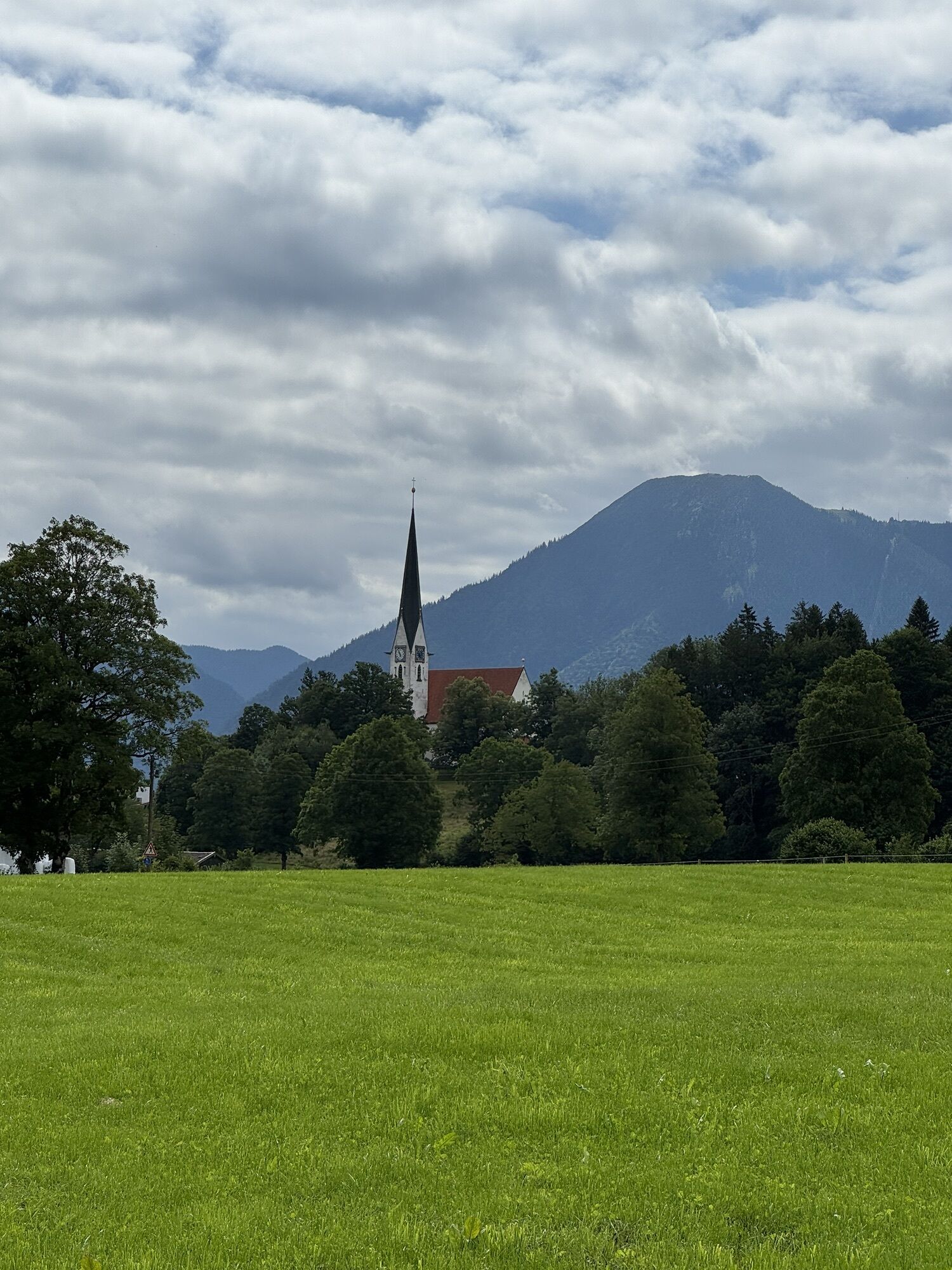
Like the second round, the so-called 'North route', this route starts at Lindenplatz in Bad Wiessee. It continues to the town hall and up the Prinzenruhweg to the Miller Chapel with a great view of Bad Wiessee and Lake Tegernsee. Then it follows the Fritz-von-Miller-Weg to the Church of Maria Himmelfahrt. A stretch along the Söllbach and crossing it several times to the so-called 'Harrer Cross' and further past the Sappl Chapel to the southernmost point of the circular route, the Friedl Chapel. Now back, partly along the lake, past some interesting chapels and wayside crosses to the Herz-Jesu Chapel and back to the starting point.
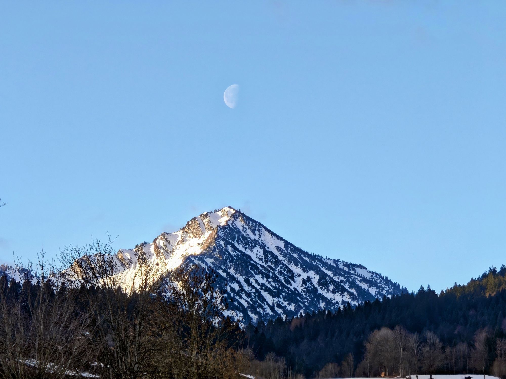
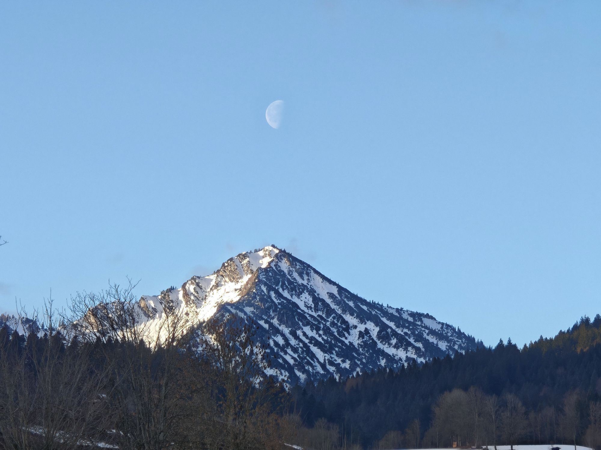
In the mountains above Bad Wiessee, there is also quite a bit to discover: for example, the Georg Chapel at the farmer in der Au, the wayside shrine at the Aueralm, or the Neuhüttenalm Chapel.
Further information is available at the Bad Wiessee tourist information office.


Tak
A8 to the Holzkirchen exit, via B318 and B307 to Bad Wiessee.
Trains of the Bayerische Regiobahn run hourly from Munich to Gmund, with the MVV to Bad Wiessee at the Lindenplatz stop.
Bad Wiessee, Lindenplatz
Popularne wycieczki w okolicy
-
4,9
Summit route to the Wallberg
średniWędrówka 12,2 km -
4,8
Lengrieser Hütte
średniWędrówka 10,6 km -
4,2
Tegernsee Höhenweg - North
światłoWędrówka 12,3 km -
4,6
Aueralm/Zwerglberg
średniWędrówka 11,9 km -
4,6
Brecherspitze
średniWycieczki górskie 14,5 km -
4,5
Brecherspitz-Runde auf dem Normalweg Schliersee, Bayern
średniWędrówka 11,3 km -
3,7
Aueralm und Fockenstein
średniWędrówka 14,1 km -
4,6
Königsalm
średniWędrówka 10,0 km -
3,4
Zur Gindelalm und Kreuzbergalm
światłoWędrówka 8,16 km -
4,2
Jägerkamp und Benzingspitze
średniWędrówka 8 km
Wędrówki i tropienie


Nie przegap ofert i inspiracji na następne wakacje
Twój adres e-mail została dodana do listy mailingowej.