






"Schönkahler" ski tour - environmentally friendly ski mountaineering
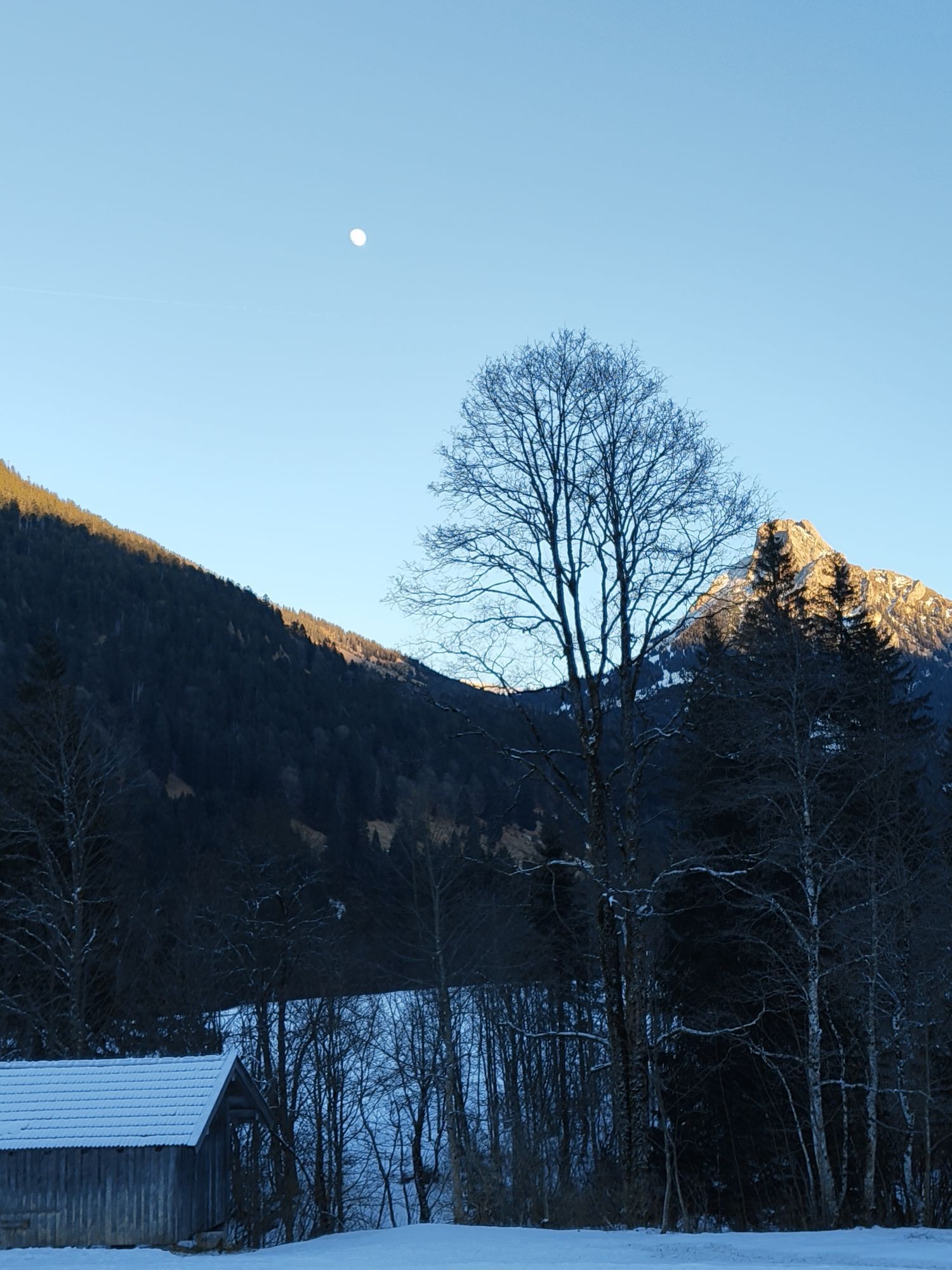

You start at the car park in the Achtal valley, which is on the way to the Tannheimer valley in Tyrol. From there, the entire tour is very well signposted. It is a relatively easy tour with no steep sections.

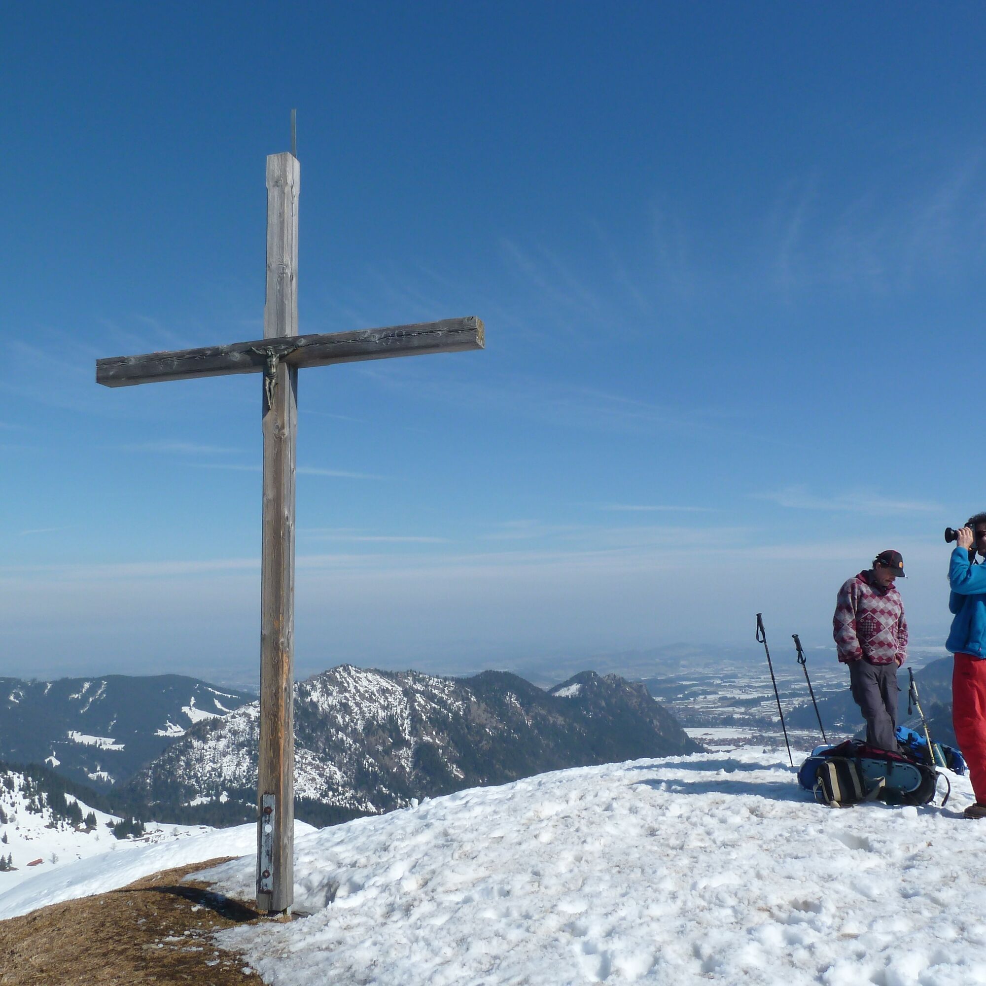
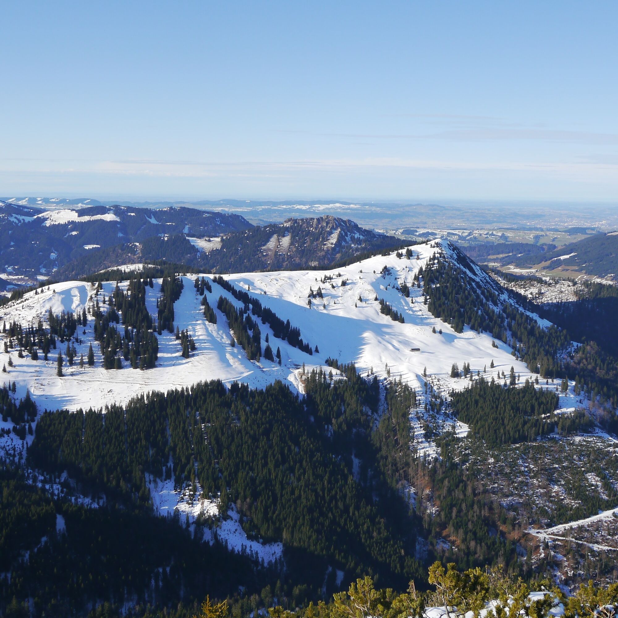
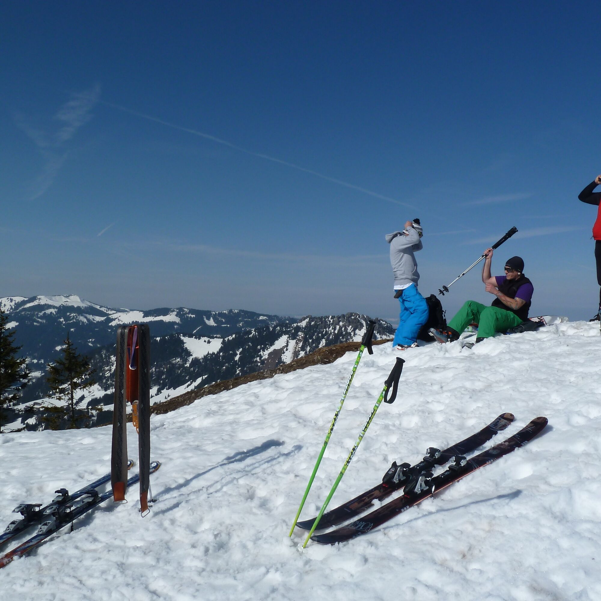
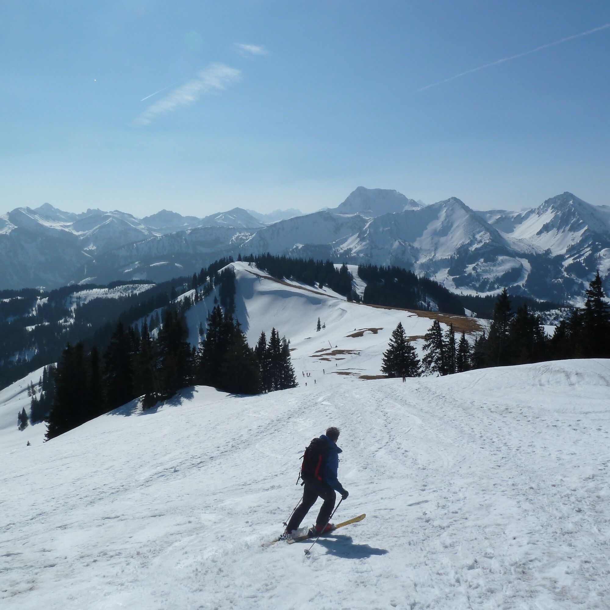
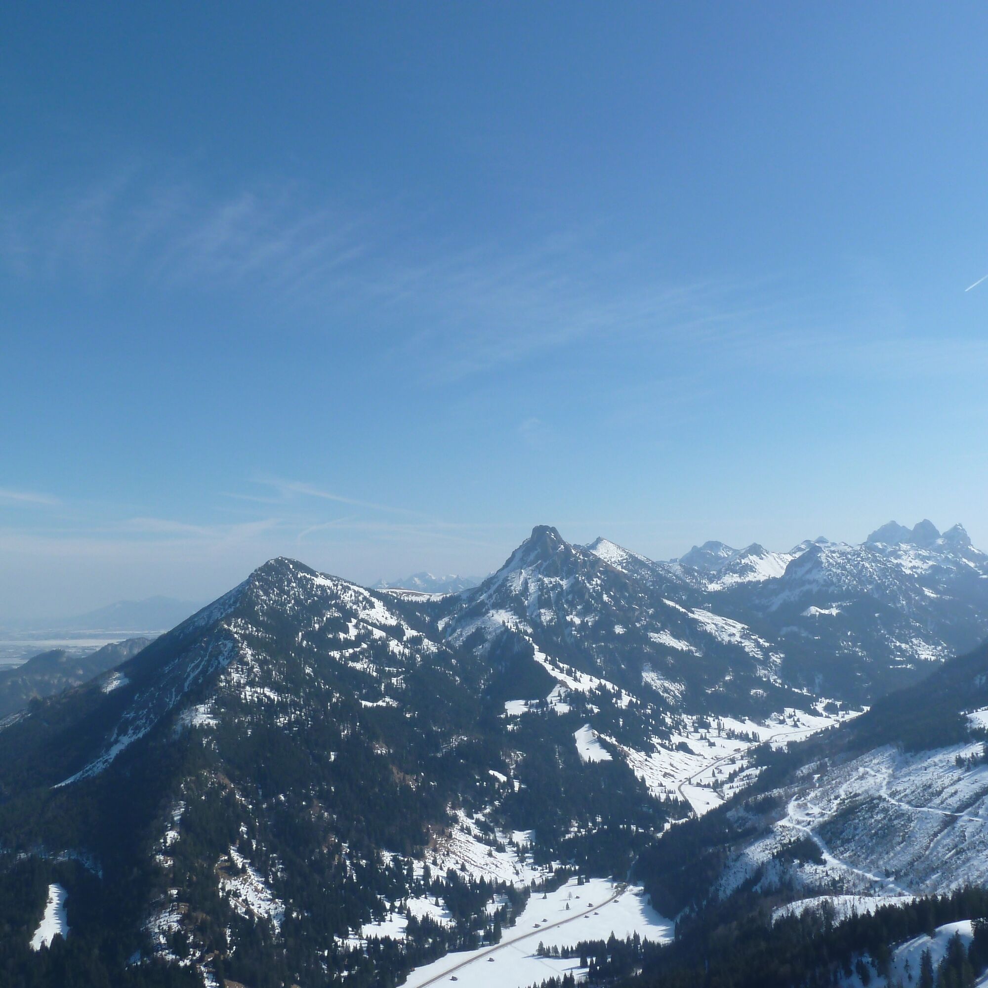
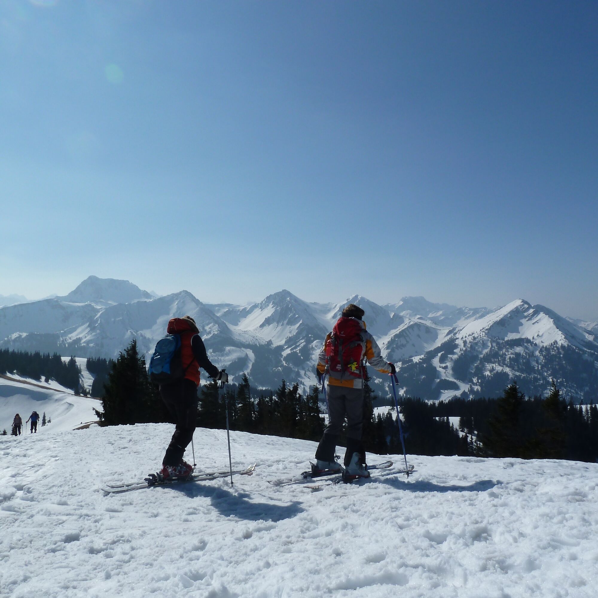

The ascent route essentially follows the summer path. First west over the bridge of the Kotbach stream to the edge of the forest. Then the path turns left/south. From a small hut you come across a new, wide path that leads through wind-broken terrain to the open high hollow near a hut (not open to visitors). Continue west and over the wide ridge to the north to the summit. Descent in the same way as ascent.
Ski touring equipment with avalanche transceiver, shovel and probe, mobile phone, possibly crampons
Parking on the right-hand side, about 1 km before the national border
The tour is published by the German Alpine Association. Use of the information is at your own risk.www.alpenverein.de
The tour is published by the German Alpine Association. Use of the information is at your own risk.www.alpenverein.de
 Uzyskaj wgląd
Zawsze na żywo z ponad 9 500 kamer internetowych. bergfex Jako użytkownik Pro, możesz teraz zobaczyć odpowiednie kamery internetowe dla wielu wycieczek w aplikacji wycieczki od. Pozwala to na bezpośredni podgląd aktualnych warunków.
Uzyskaj wgląd
Zawsze na żywo z ponad 9 500 kamer internetowych. bergfex Jako użytkownik Pro, możesz teraz zobaczyć odpowiednie kamery internetowe dla wielu wycieczek w aplikacji wycieczki od. Pozwala to na bezpośredni podgląd aktualnych warunków.
Popularne wycieczki w okolicy
-
4,8
Around Weißensee
światłoWędrówka 6,12 km -
5,0
Hiking tour to Breitenberg
ciężkiWędrówka 15,6 km -
4,9
Gemeinde Grän, Tirol/Österreich Aggenstein Rundtour über Höhenweg
średniWędrówka 9,84 km -
4,4
Höllschlucht hike » Water & Forest
średniWędrówka 7,38 km -
4,8
Tannheim / Vilsalpsee / Landsberger Hütte
średniWędrówka 15,7 km -
4,3
Three-lake route (awarded the Tyrolean Hiking Trail Seal of Quality)
średniWędrówka 14,8 km -
3,9
Klassikertour: Auf den Grünten
ciężkiWędrówka 8,50 km -
4,8
Iseler und Kühgundkopf
średniWędrówka 7,63 km -
4,7
3-Gipfel-Tour
średniWędrówka 11,2 km -
4,6
3-Seen Rundtour Vilsalpsee / Schrecksee / Traualpsee
średniWędrówka 17,1 km
Wędrówki i tropienie


Nie przegap ofert i inspiracji na następne wakacje
Twój adres e-mail została dodana do listy mailingowej.





