







"Schönkahler" environmentally friendly snowshoe route
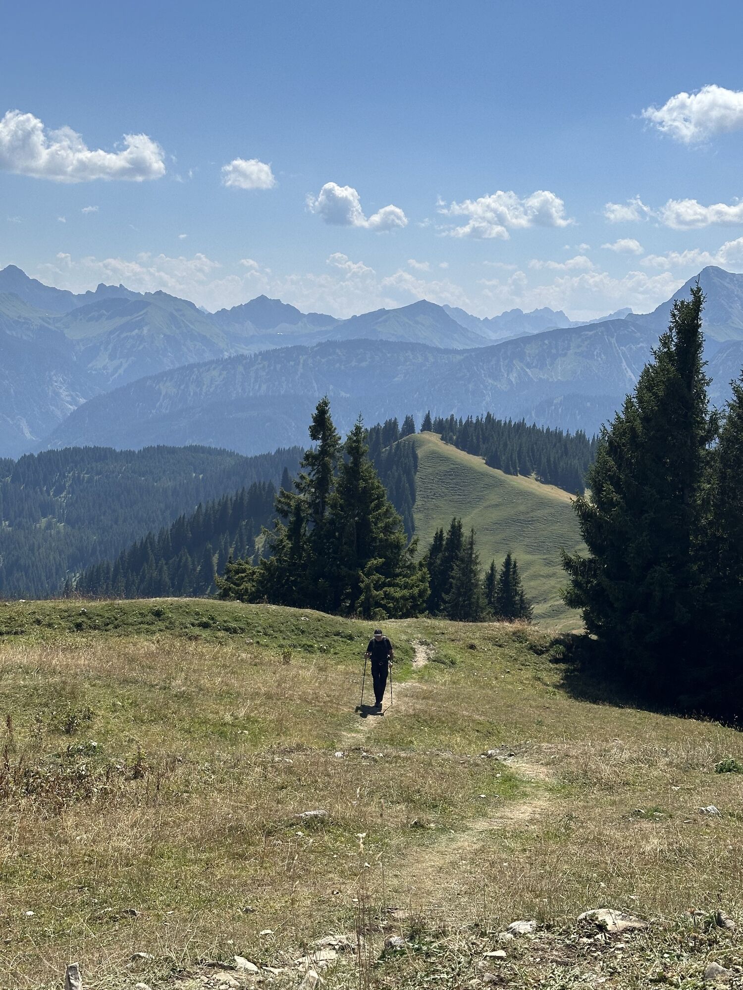
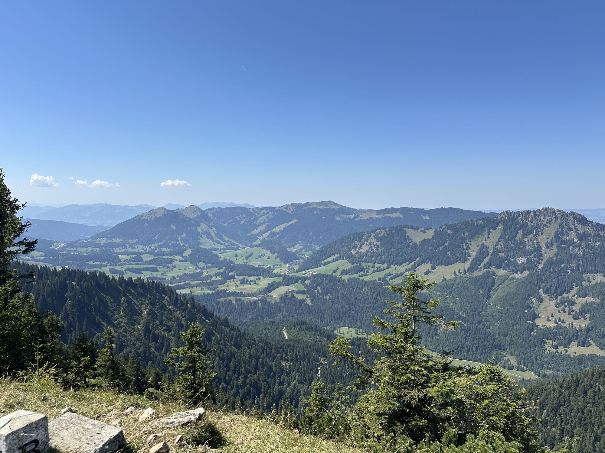
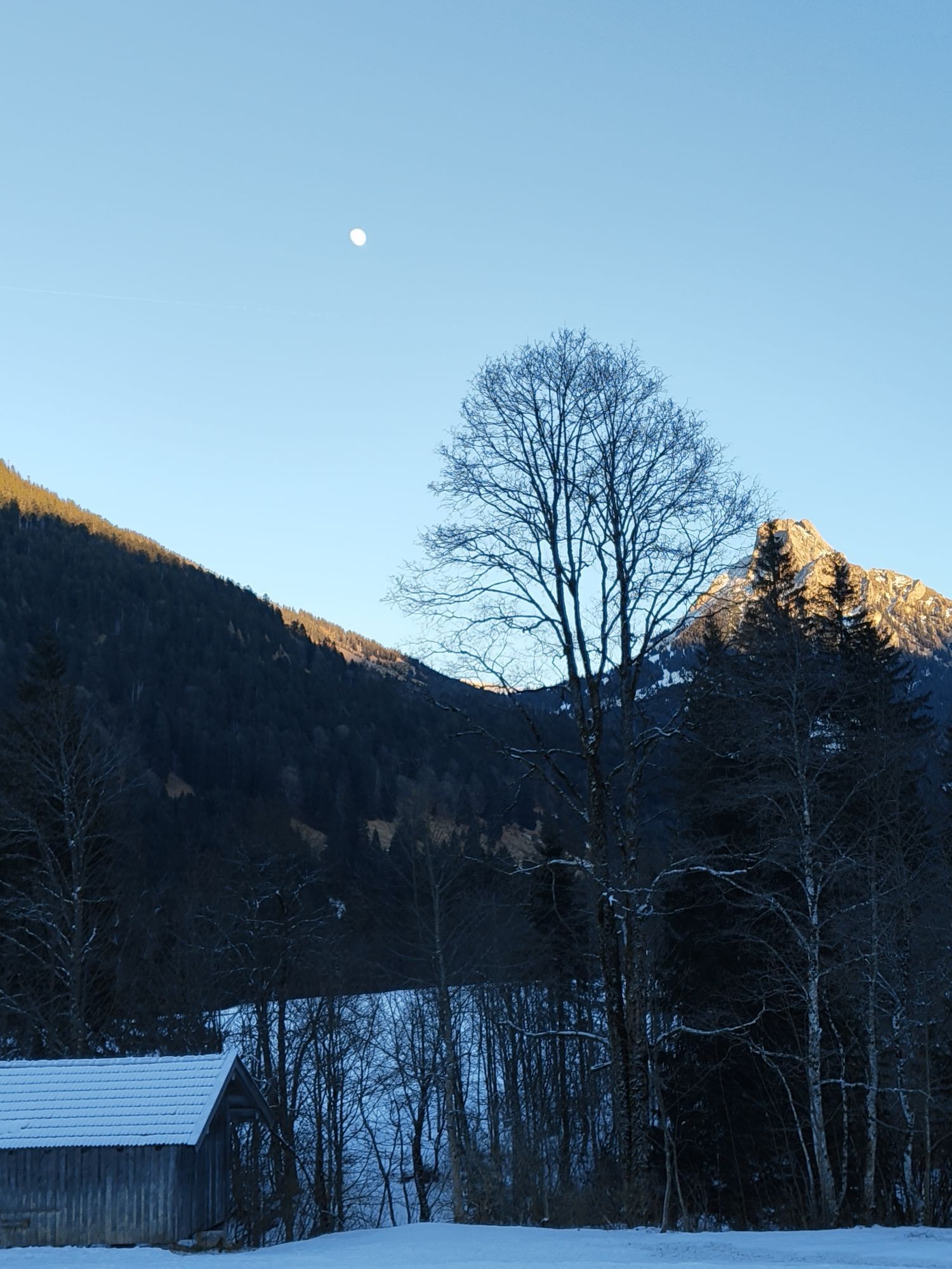

You start at the parking lot in Achtal, which is located on the way to the Tannheimer Valley. From there the entire route is very well signposted. It is a relatively easy route without steep sections.

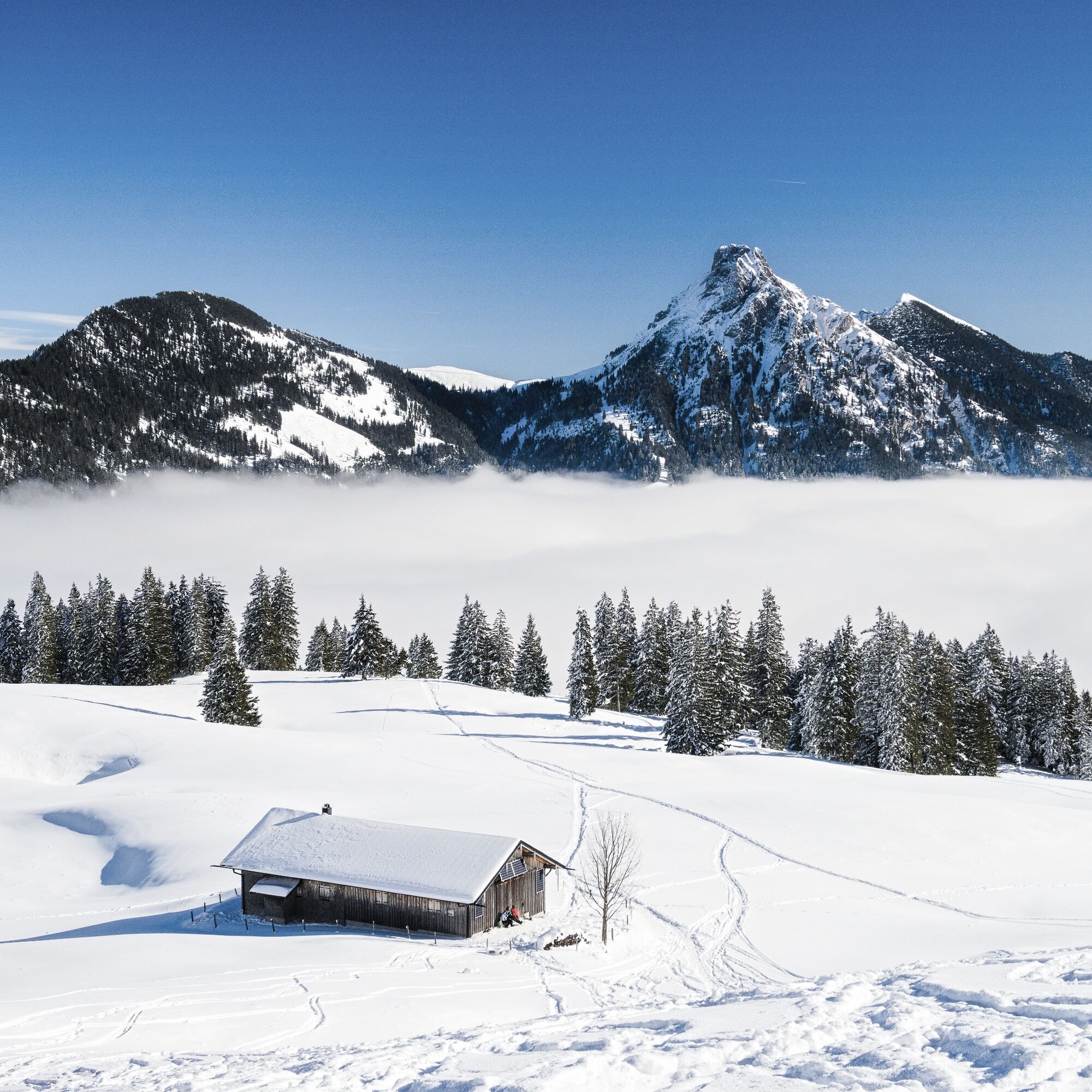
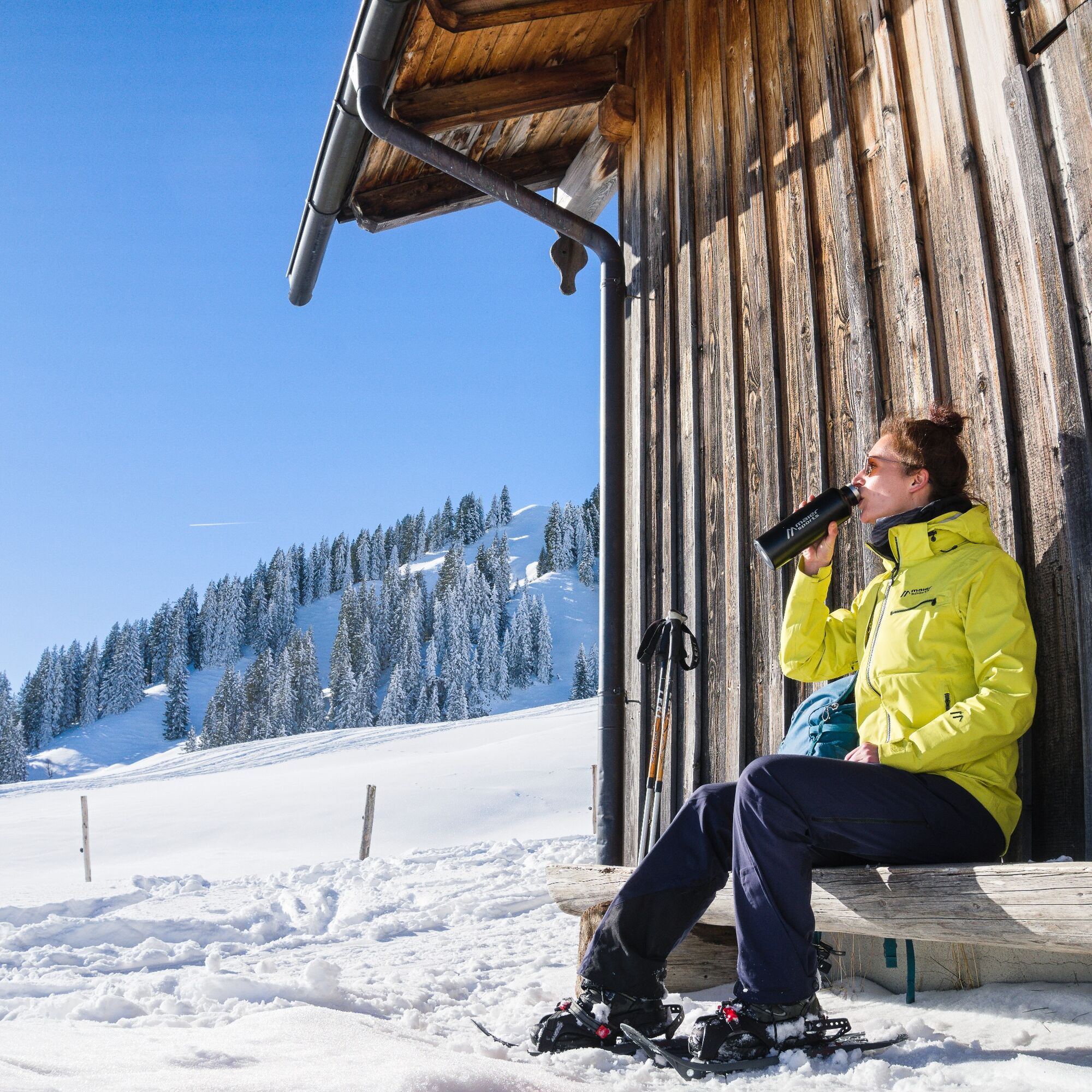
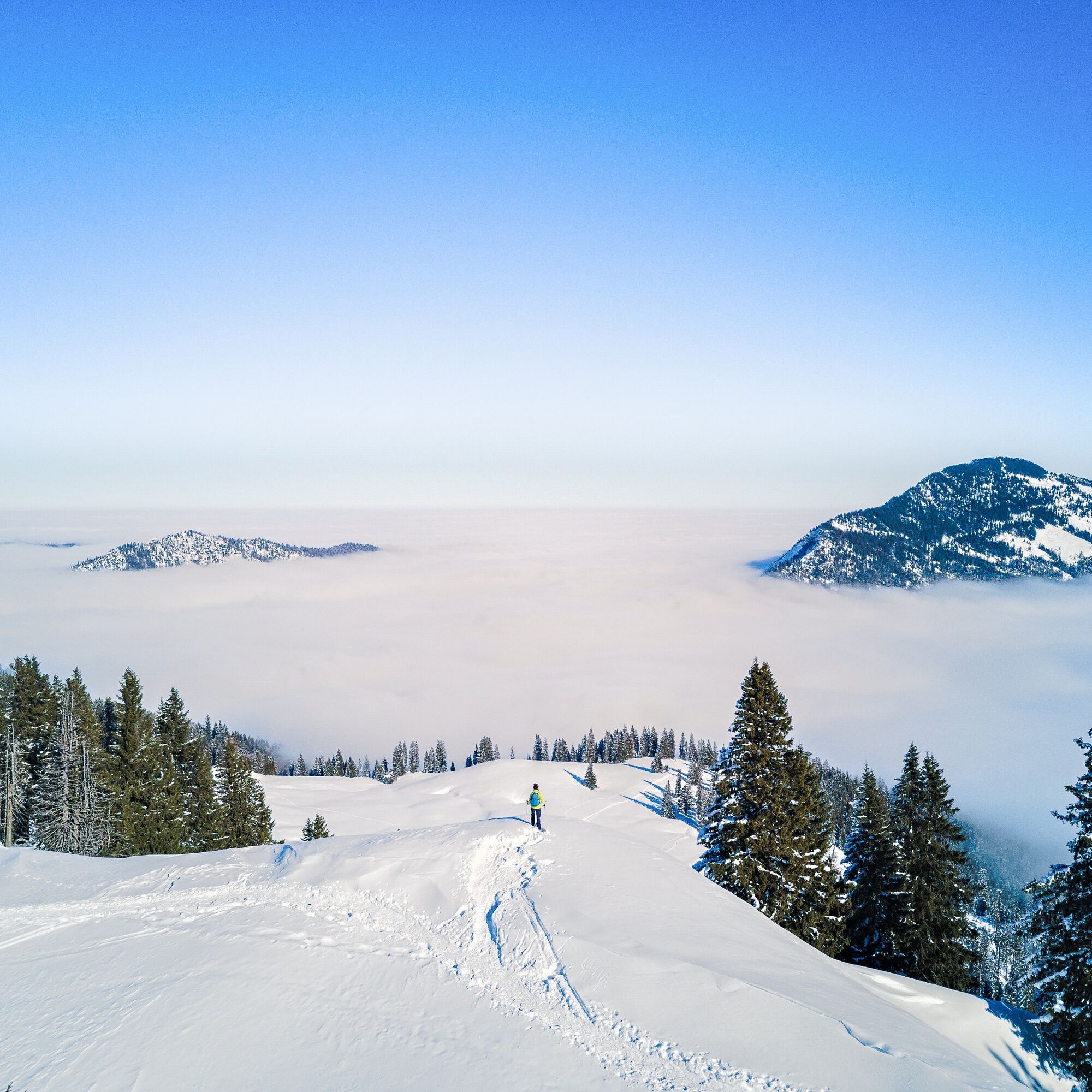
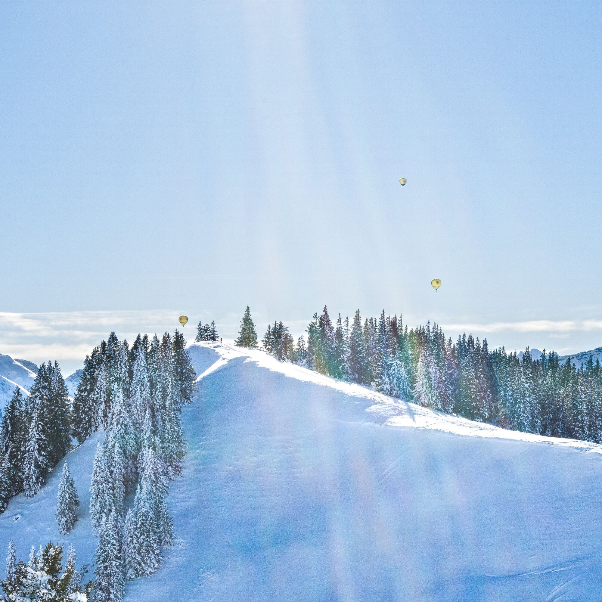

Essentially, the ascent route follows the summer path. First west over the bridge of the Kotbach stream to the forest edge. Then the path turns left/south. From a small hut, you reach a new wide path that leads through windthrow areas to the open high hollow near an alpine hut. Continue west to the slightly pronounced saddle between Pirschling (left) and Schönkahler (right). Over the broad ridge northwards to the summit. Descent as ascent.
Tak
Tour equipment with avalanche transceiver, shovel and probe, mobile phone, possibly crampons
Pay attention to the avalanche report!
You can find the current avalanche report at www.alpenverein.de/DAV-Services/Lawinen-Lage/
Please note: the route is not signposted! Recommended only for experienced snowshoe hikers.
Parking available on the right side, about 1 km before the state border
The route is published by the German Alpine Club. The use of the information is at your own risk.
www.alpenverein.de
 Uzyskaj wgląd
Zawsze na żywo z ponad 9 500 kamer internetowych. bergfex Jako użytkownik Pro, możesz teraz zobaczyć odpowiednie kamery internetowe dla wielu wycieczek w aplikacji wycieczki od. Pozwala to na bezpośredni podgląd aktualnych warunków.
Uzyskaj wgląd
Zawsze na żywo z ponad 9 500 kamer internetowych. bergfex Jako użytkownik Pro, możesz teraz zobaczyć odpowiednie kamery internetowe dla wielu wycieczek w aplikacji wycieczki od. Pozwala to na bezpośredni podgląd aktualnych warunków.
Aktywności na trasie
-

Tannheim, Tirol/Österreich
27.08.2026 – Wędrówka -
Pfronten, Bayern/Deutschland
17.01.2026 – Wędrówka -
Pfronten, Bayern/Deutschland
17.01.2026 – Wędrówka -
Pfronten, Bayern/Deutschland
06.12.2025 – Wędrówka -

Tannheim, Tirol/Österreich
18.09.2025 – Wycieczki górskie -
Tannheim, Tirol/Österreich
06.09.2025 – Wędrówka -

19.01.25 Schönkahler
19.01.2025 – Rakieta do chodzenia po śniegu -
Schönkahler
12.01.2025 – Wędrówka
Popularne wycieczki w okolicy
-
4,9
Hiking tour to Breitenberg
ciężkiWędrówka 15,6 km -
4,6
Around Weißensee
światłoWędrówka 6,12 km -
4,9
Gemeinde Grän, Tirol/Österreich Aggenstein Rundtour über Höhenweg
średniWędrówka 9,84 km -
4,8
Do schroniska Bad Kissinger Hütte przez Gräner Höhenweg
średniWędrówka 13,0 km -
4,8
Tannheim / Vilsalpsee / Landsberger Hütte
średniWędrówka 15,7 km -
3,9
Klassikertour: Auf den Grünten
ciężkiWędrówka 8,50 km -
4,7
Mountain hike to the Aggenstein
ciężkiWędrówka 15,3 km -
4,7
Panorama route to the Ostlerhütte
średniWędrówka 5,11 km -
4,8
Iseler und Kühgundkopf
średniWędrówka 7,63 km -
4,3
Trasa trzech jezior (wyróżniona tyrolskim znakiem jakości szlaków turystycznych)
średniWędrówka 14,8 km
Wędrówki i tropienie


Nie przegap ofert i inspiracji na następne wakacje
Twój adres e-mail została dodana do listy mailingowej.





