


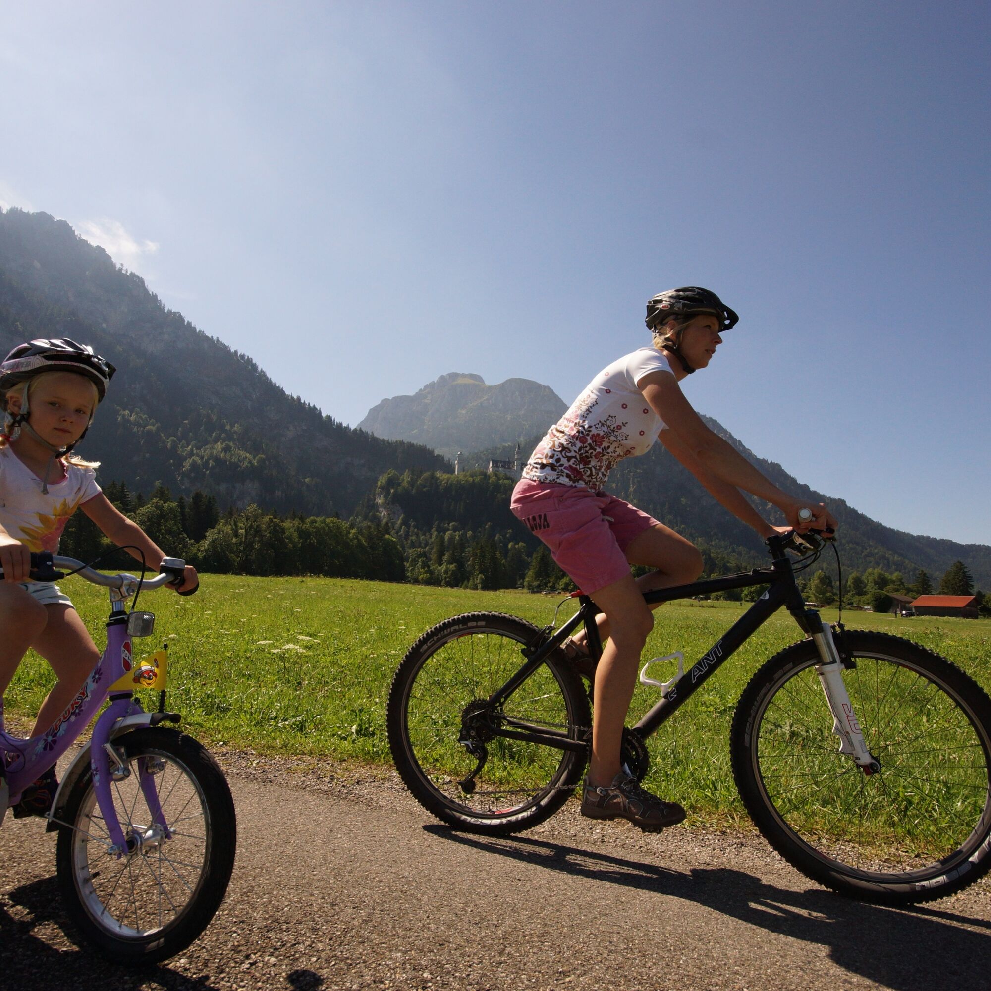
Two-Country Route
Poziom trudności: 2
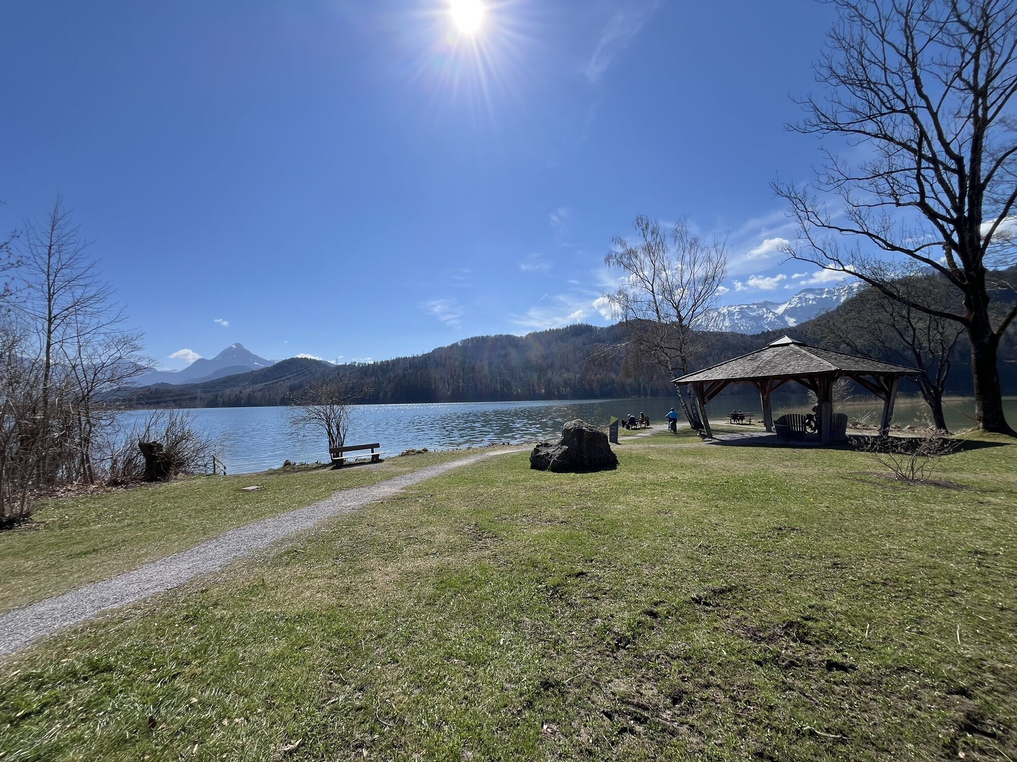
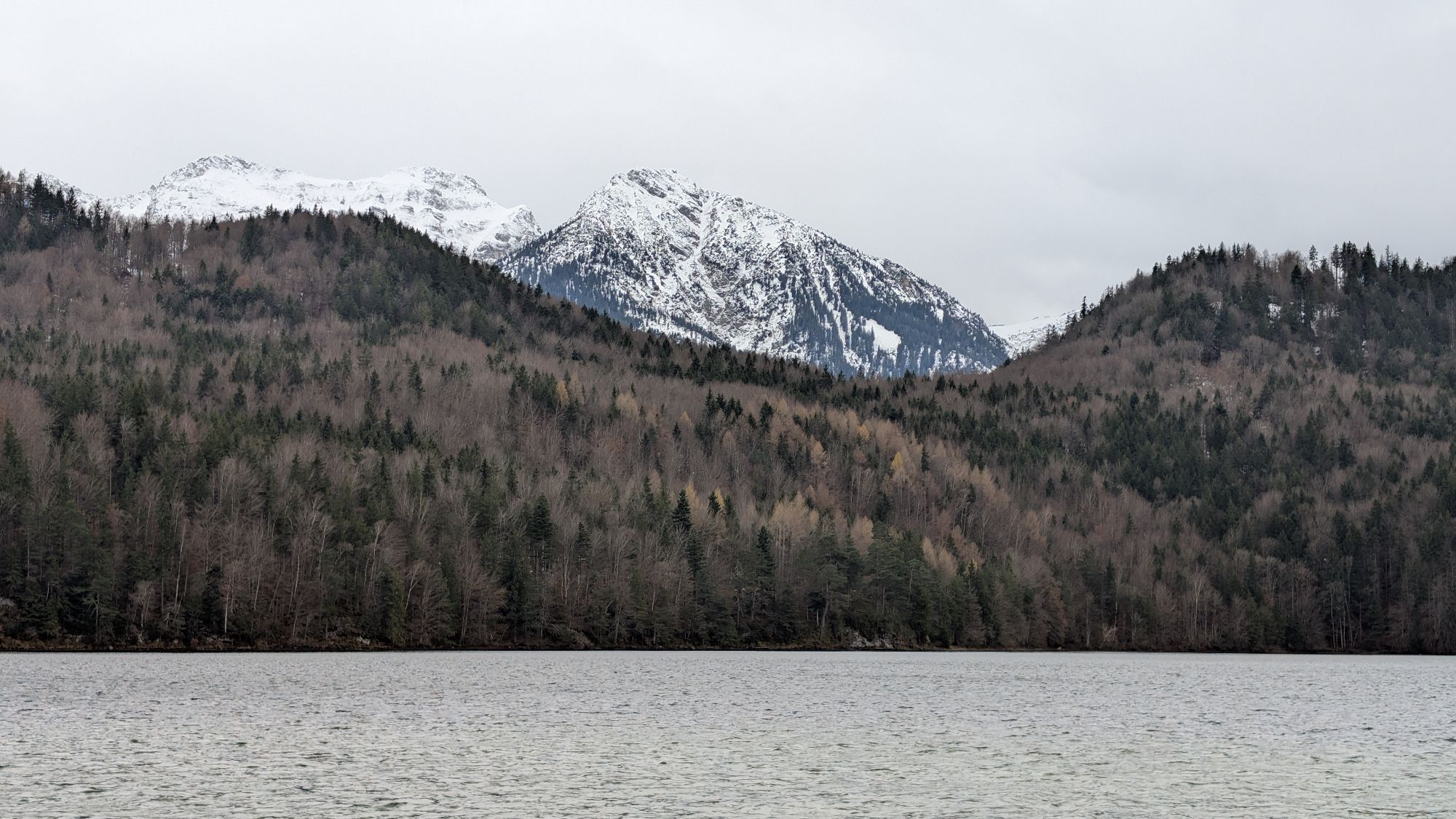
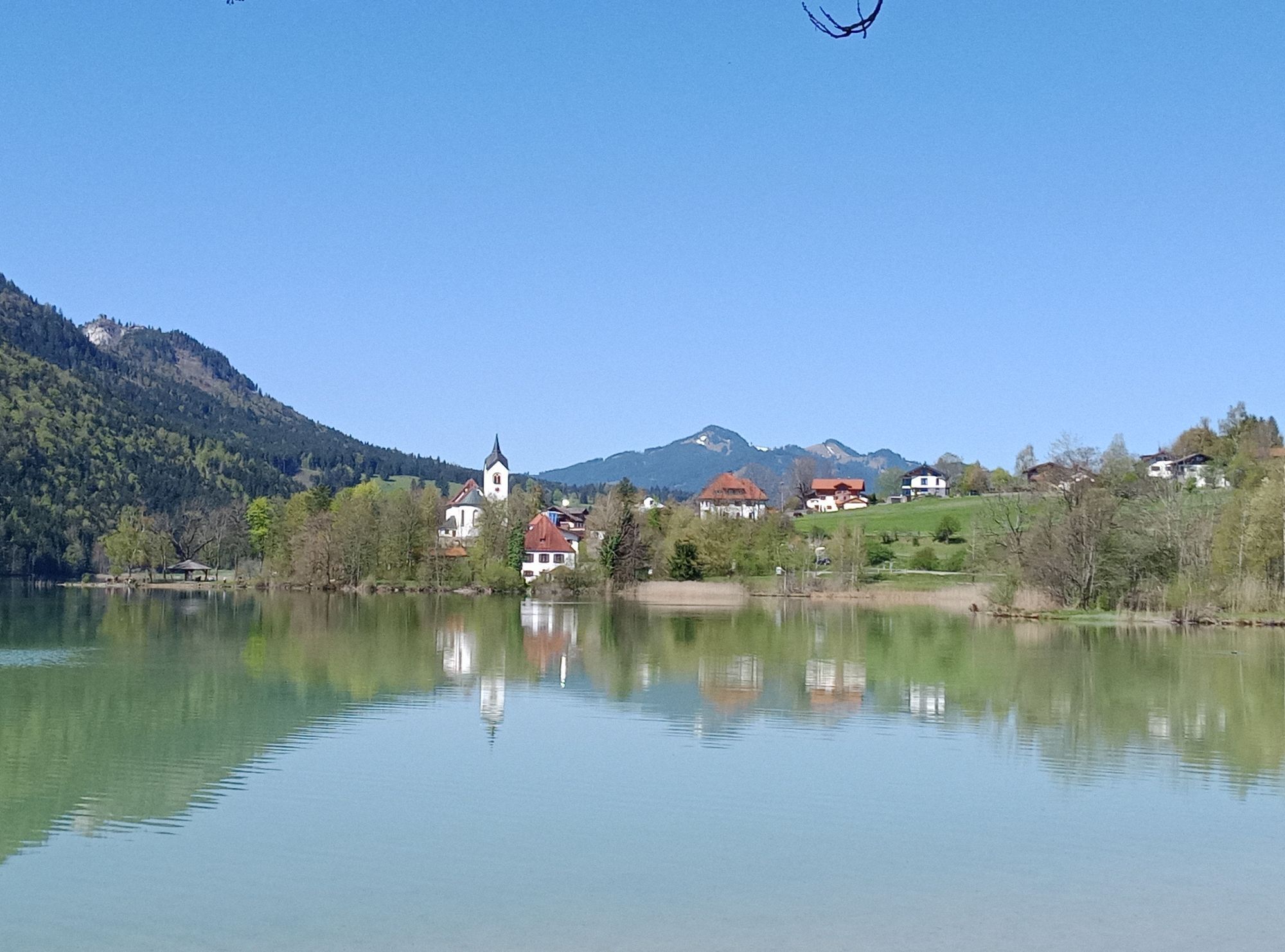
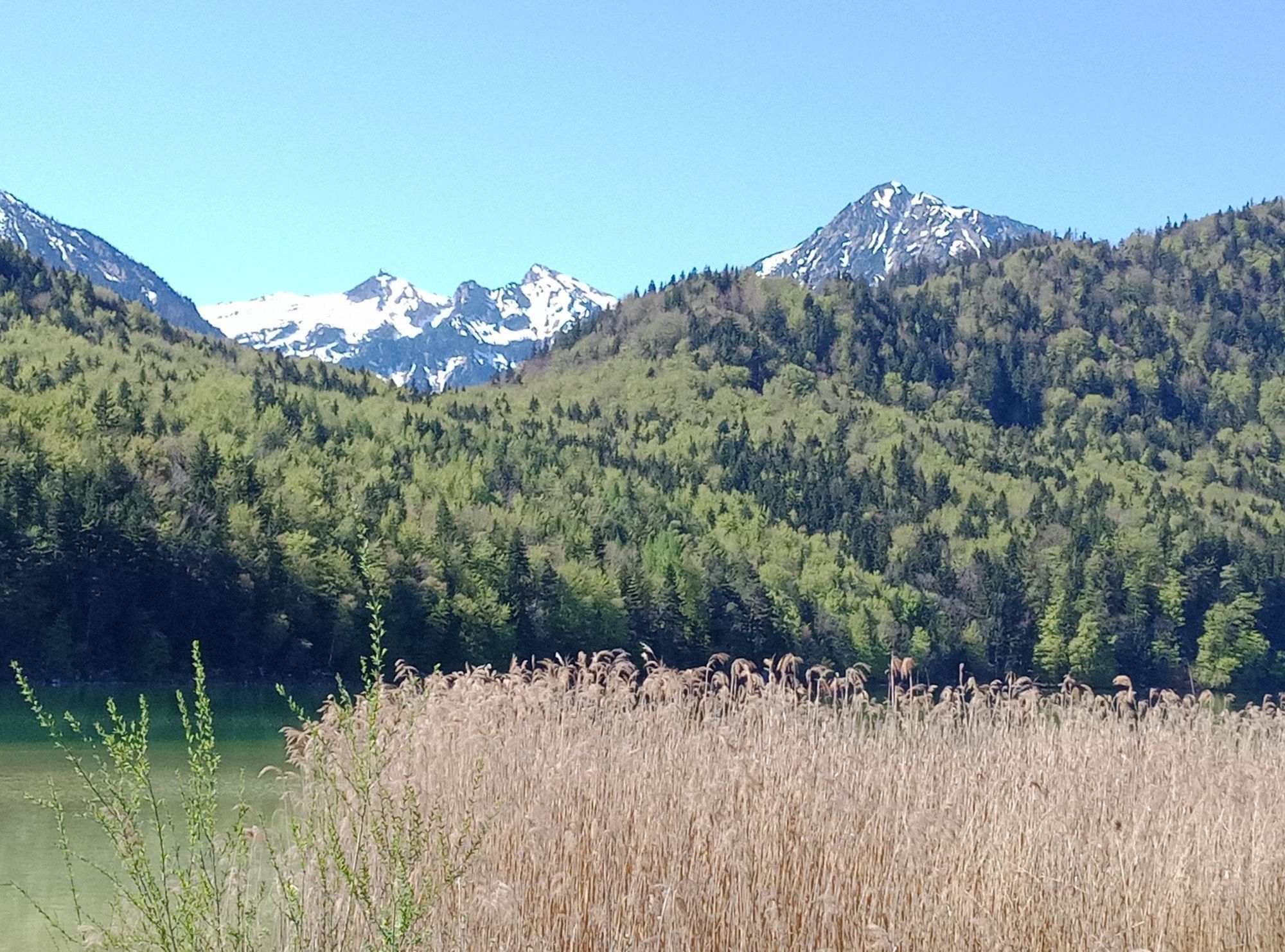
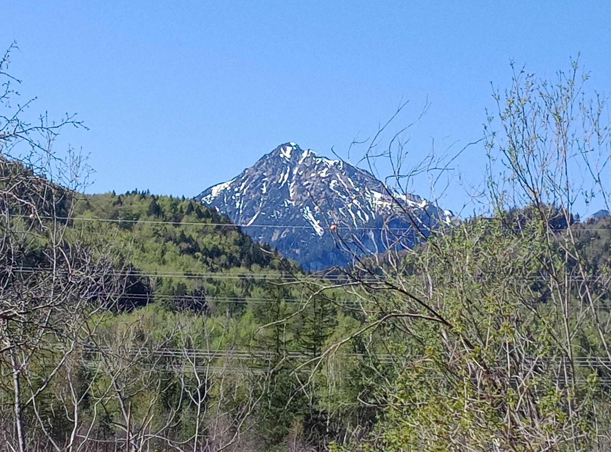


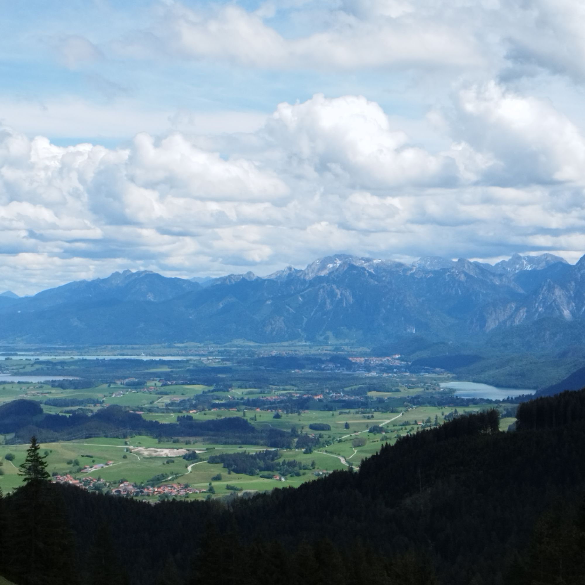
A varied route with wonderful views of mountains and lakes from Schwangau via Füssen and Austria to Pfronten. The highlight is Weißensee with its impressive panorama.


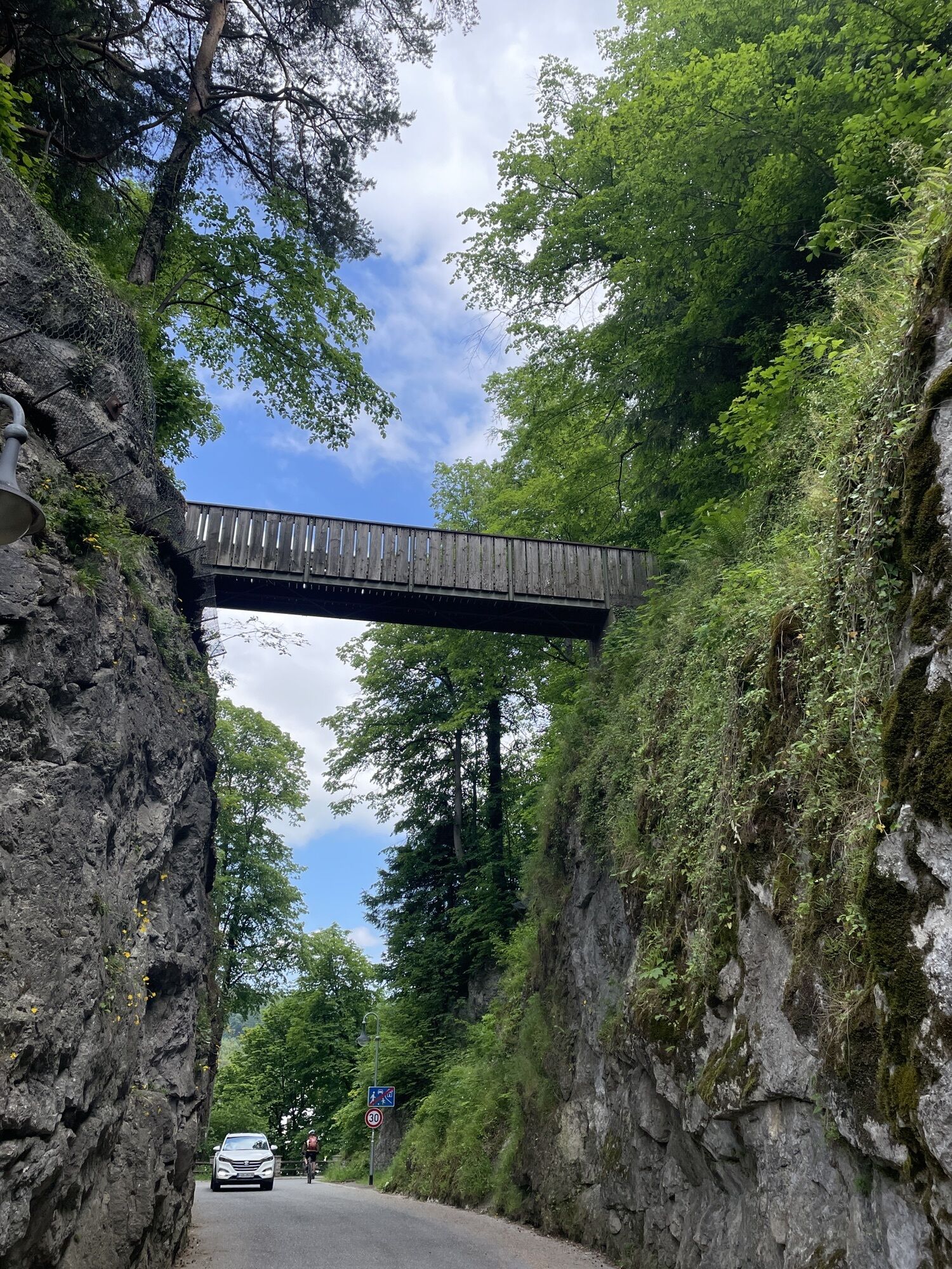
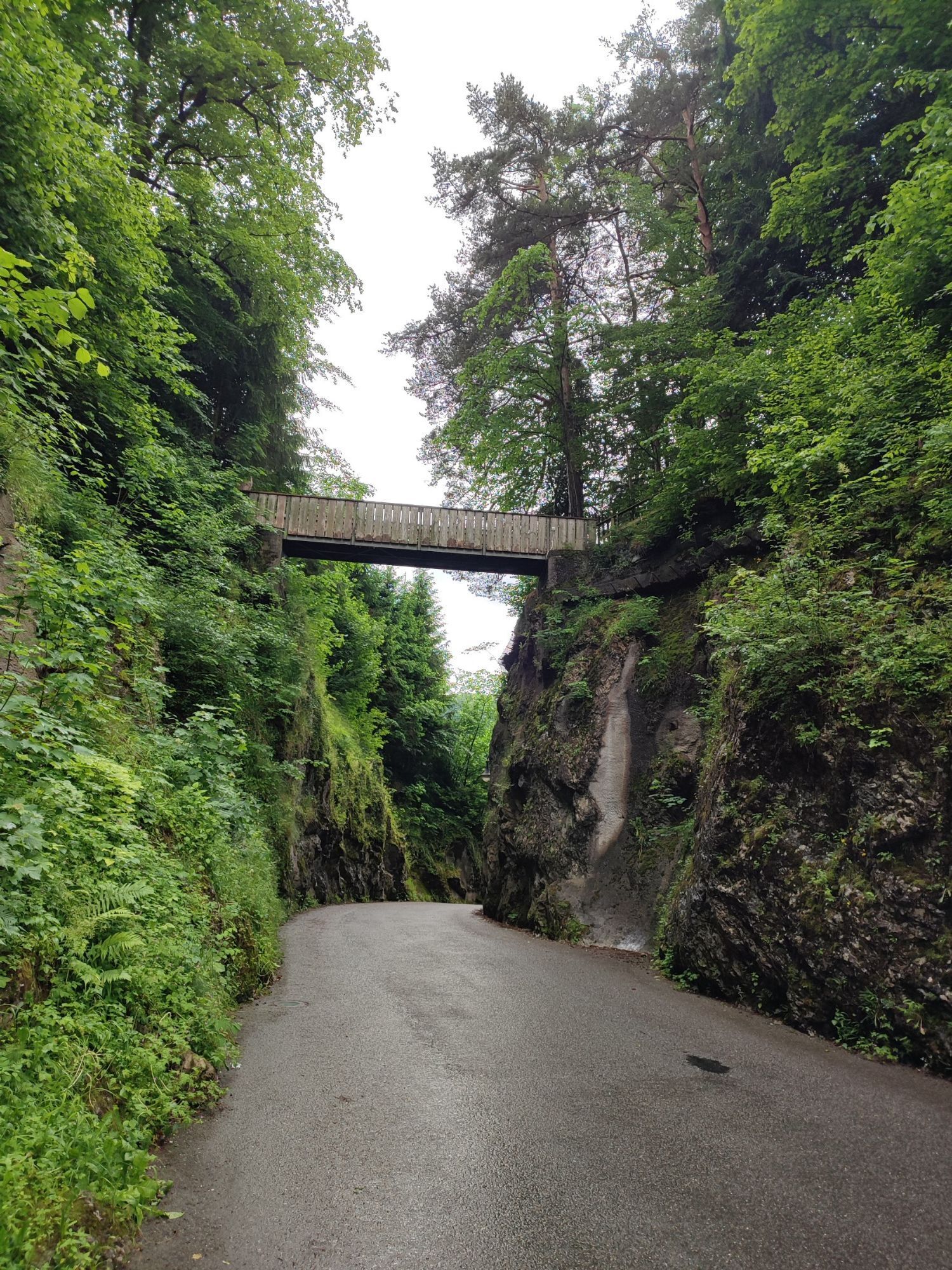
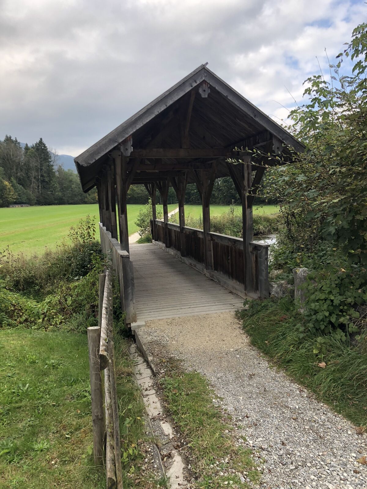
From the starting point, head towards Horn and cross the dam after a short ride – please dismount and push your bicycle here. Immediately afterwards, turn left towards Füssen city center and the old town. After a few minutes, you will reach the Theresien Bridge. First, ride under the bridge, then turn right and cross it.
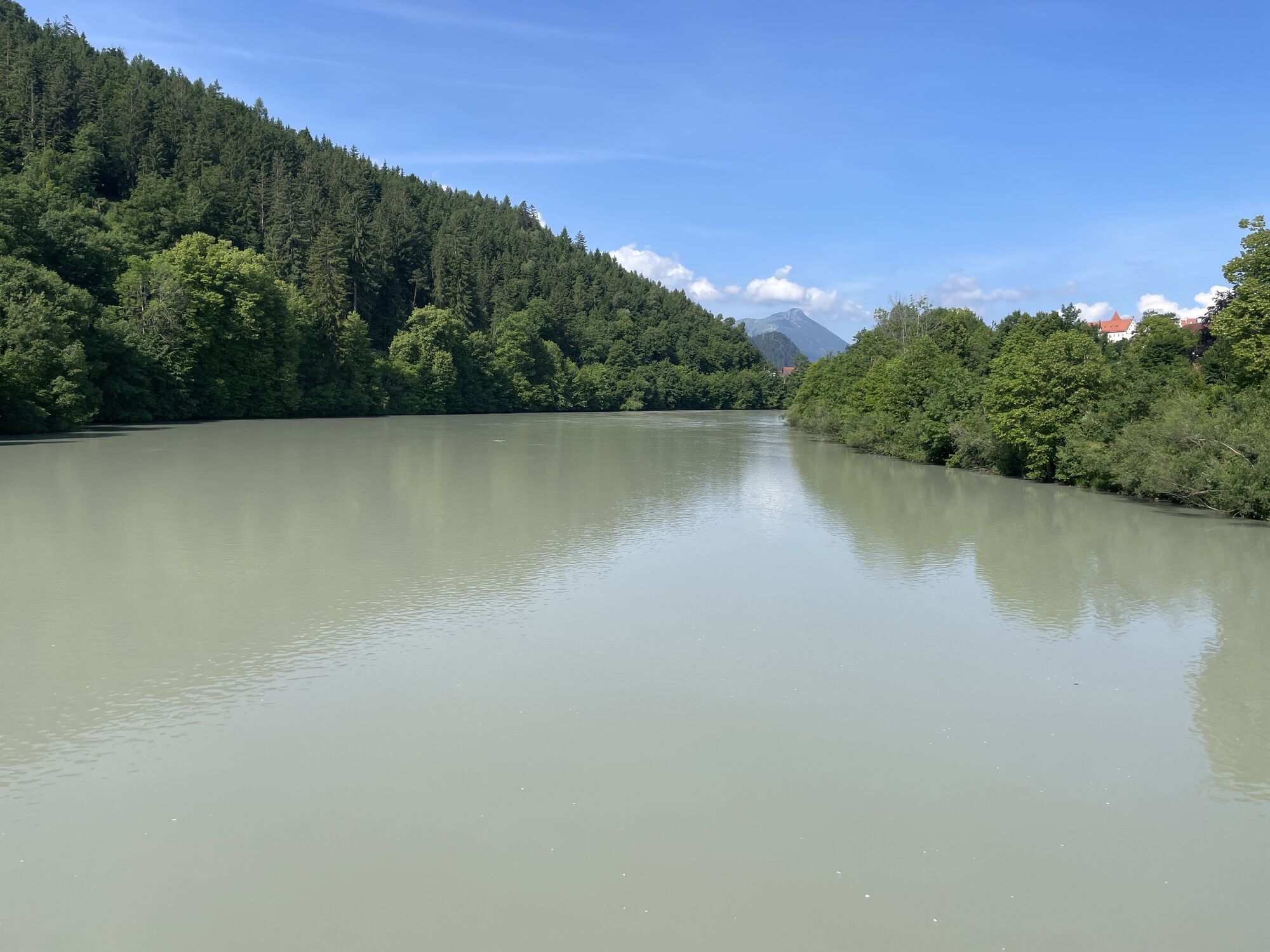
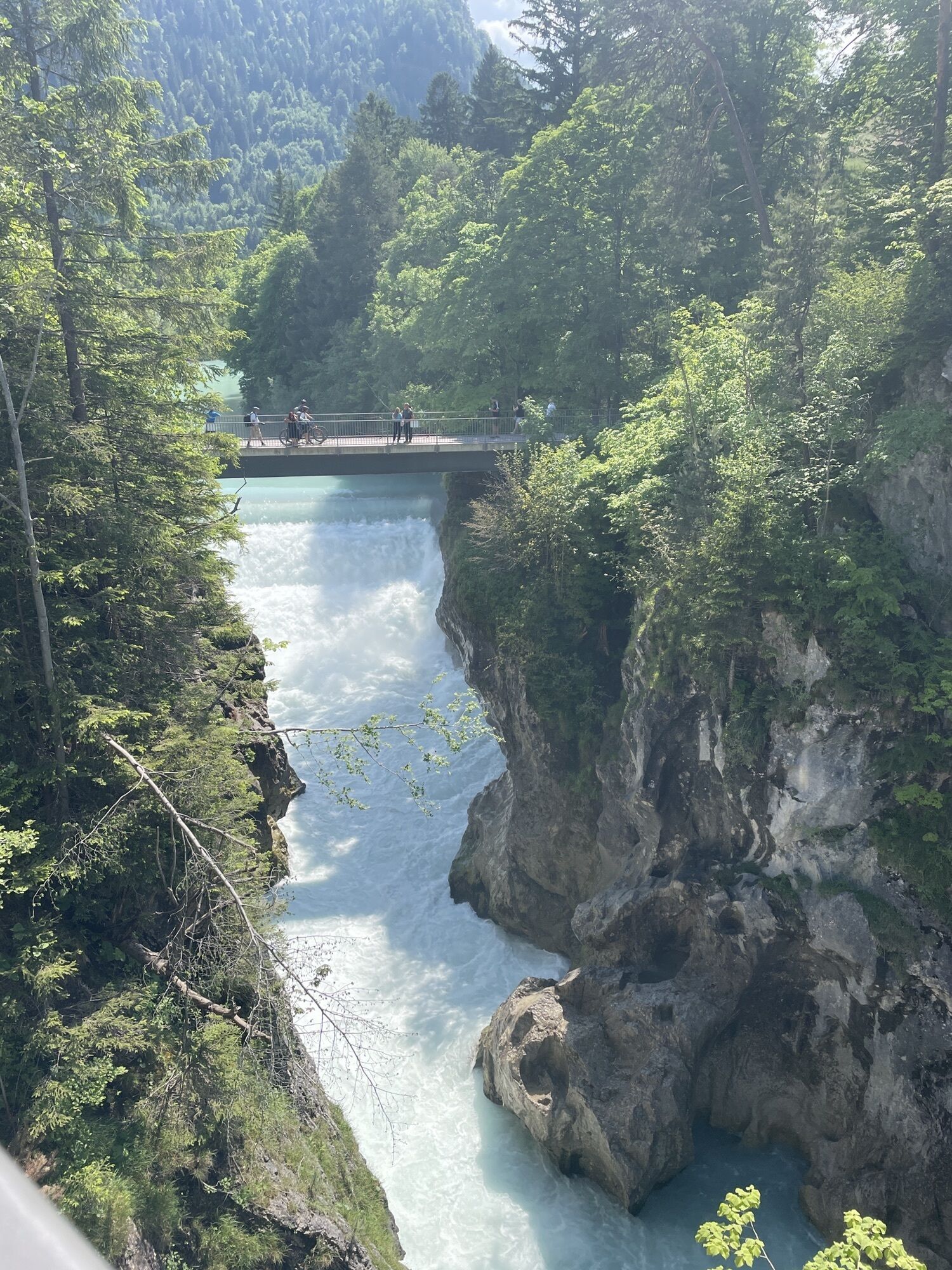
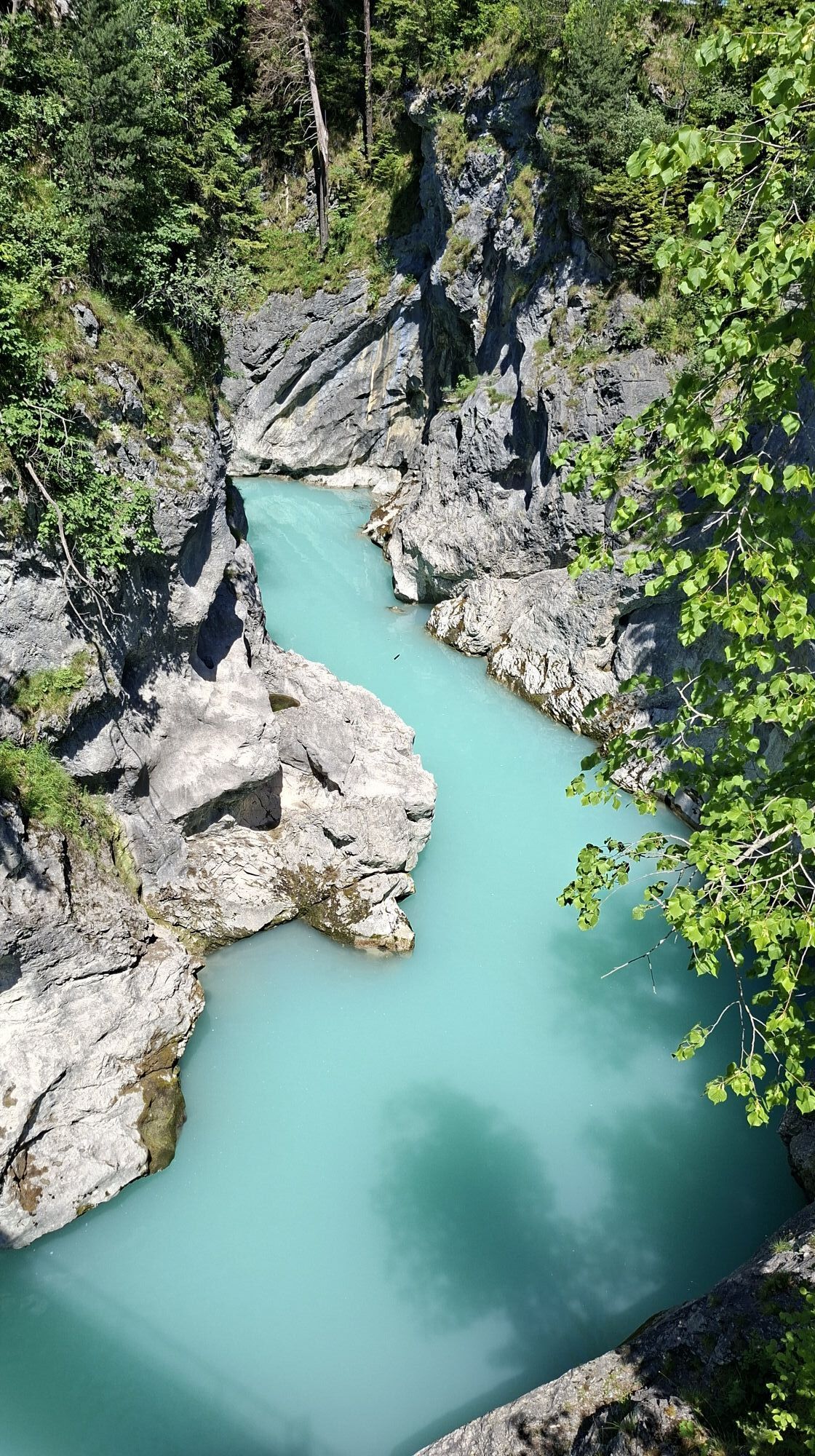
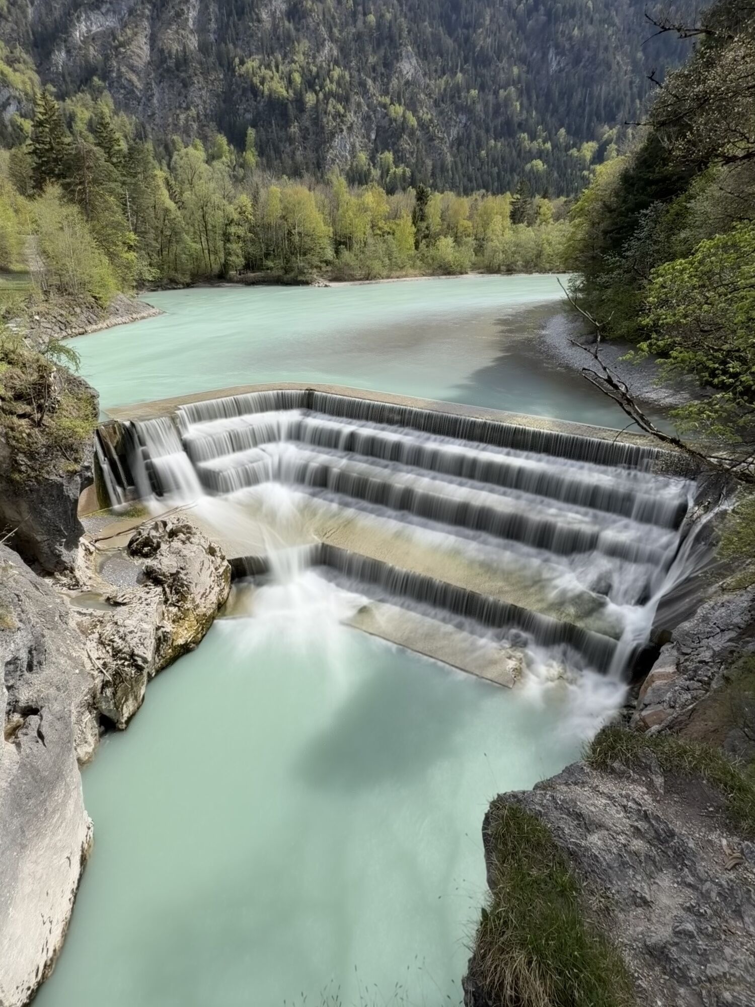
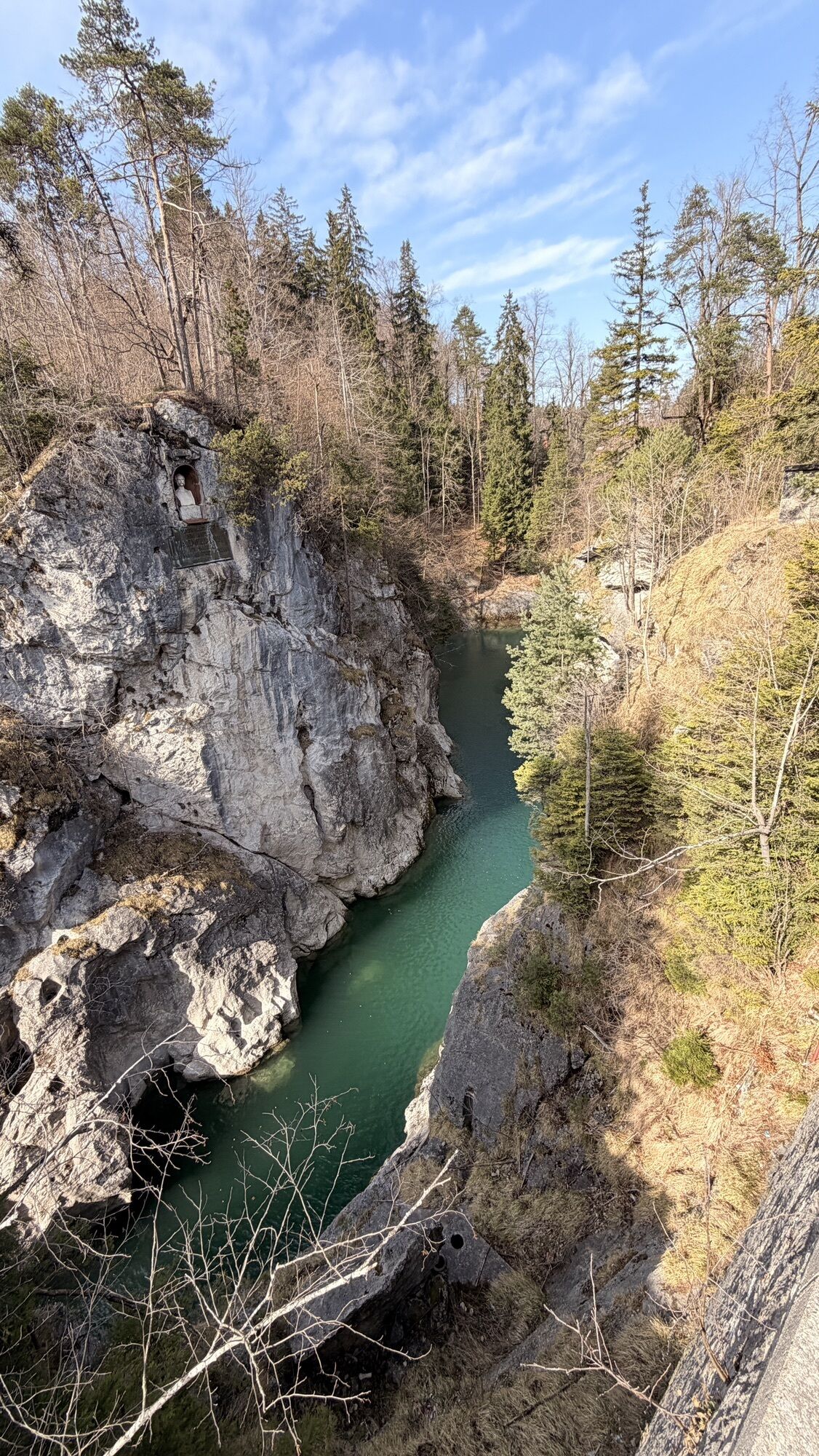
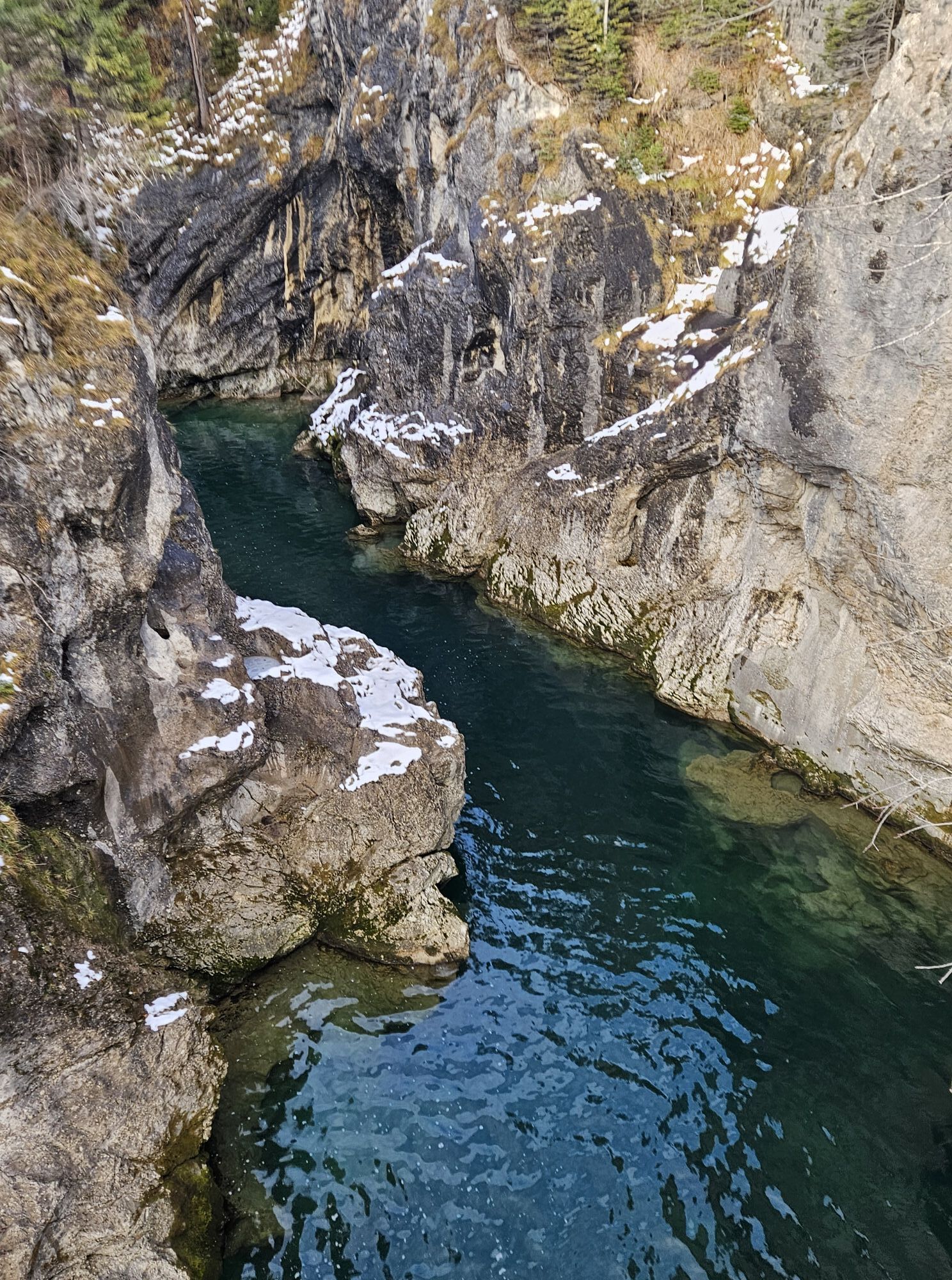
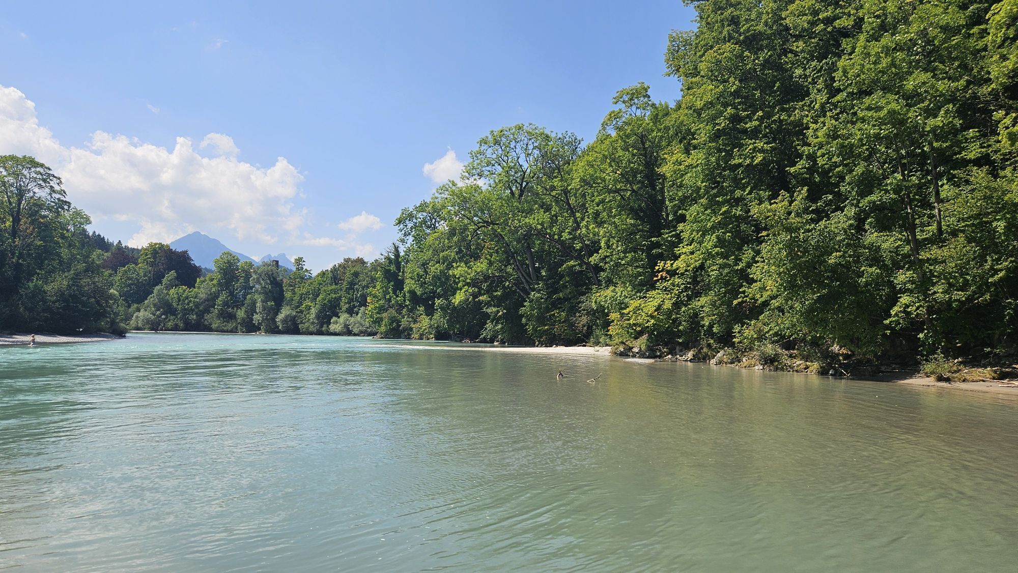
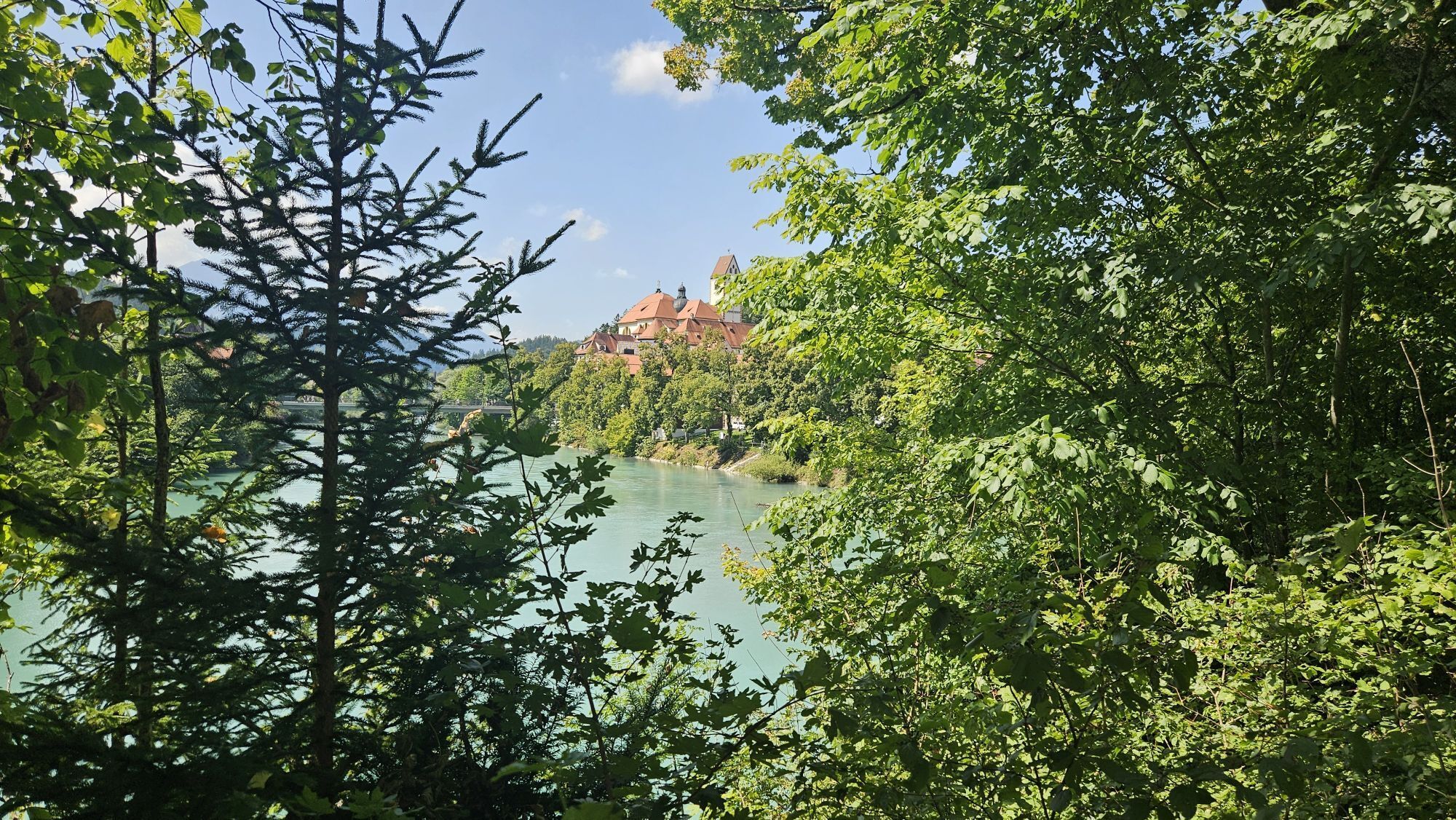
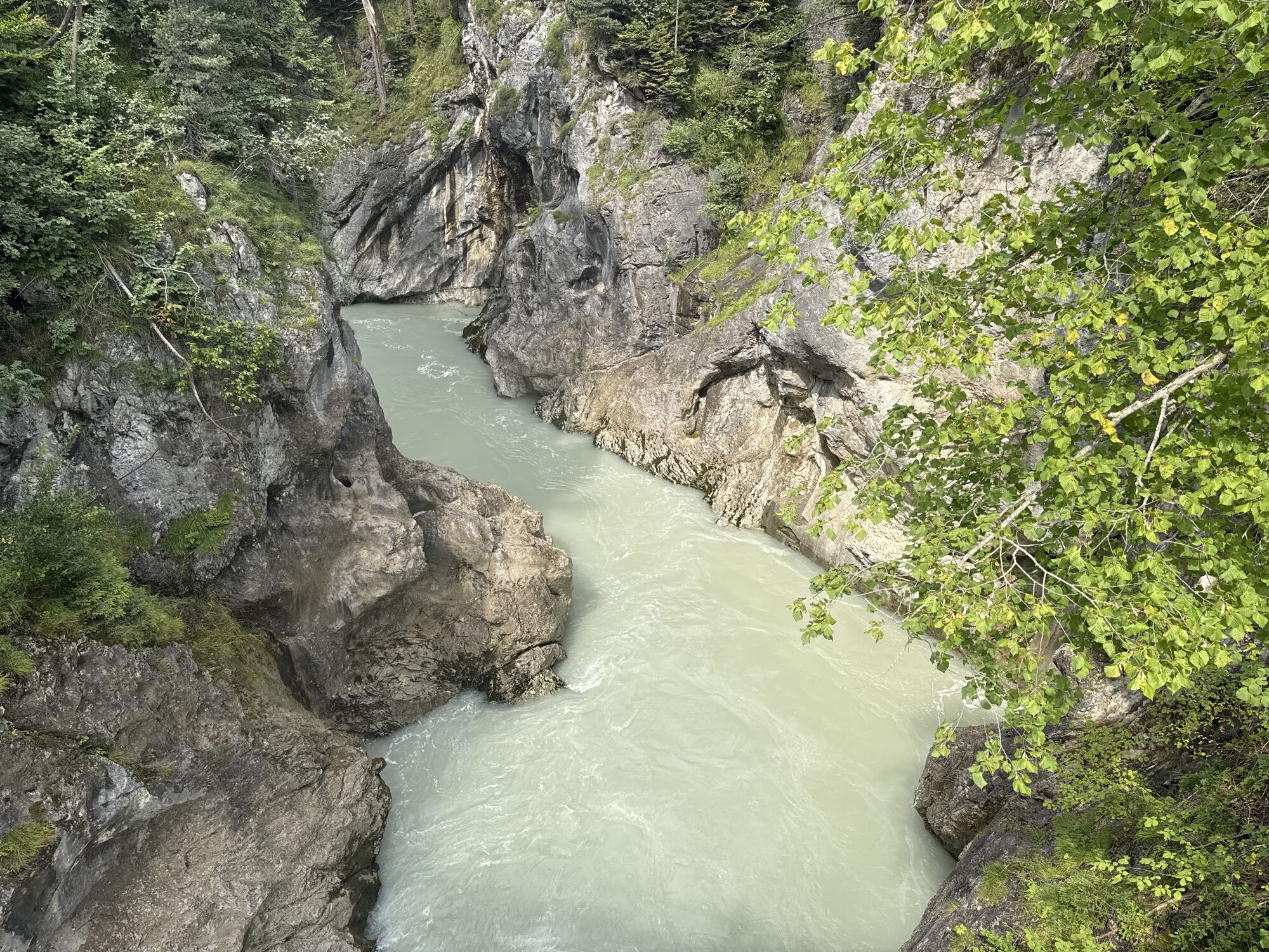
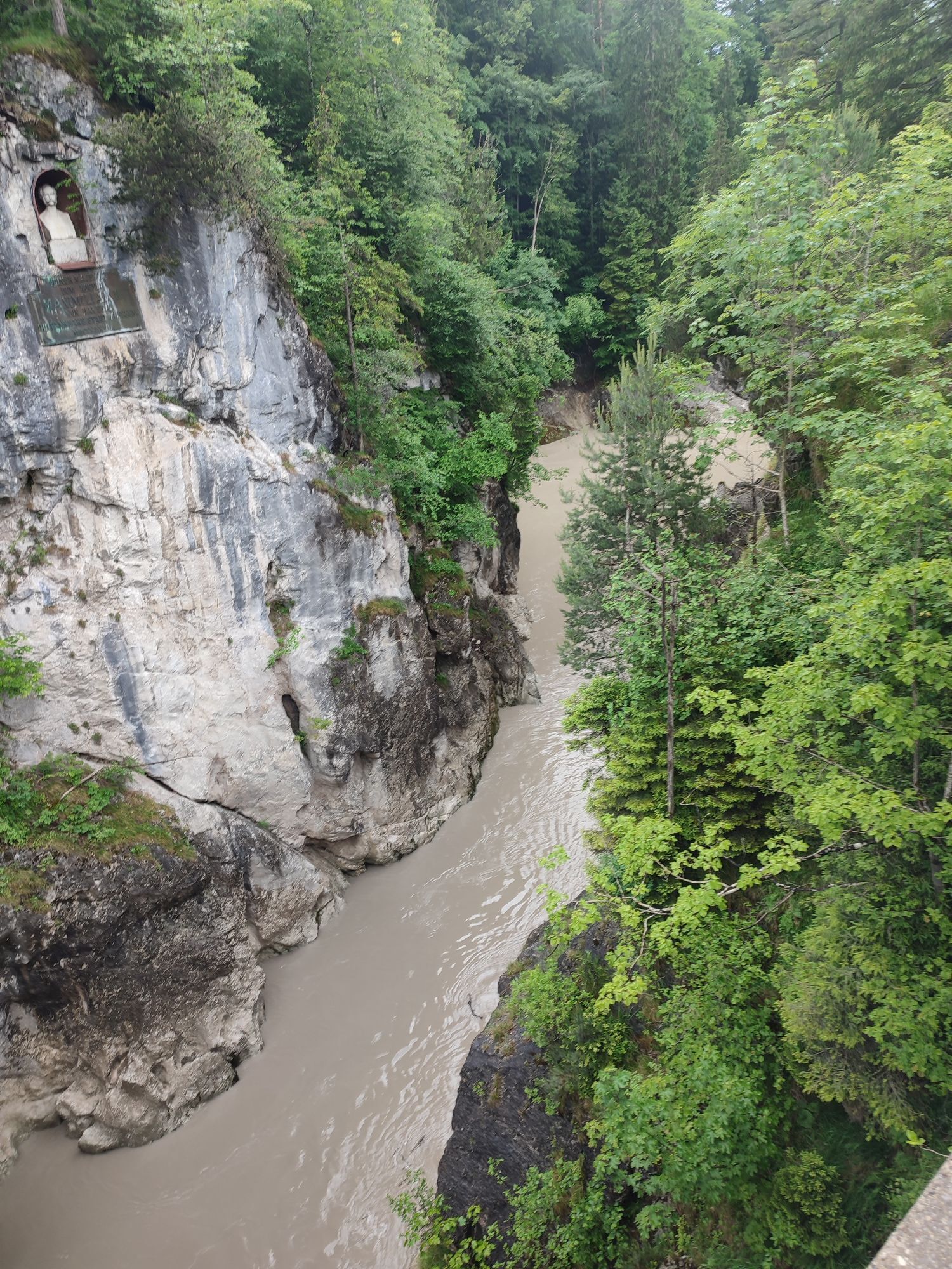
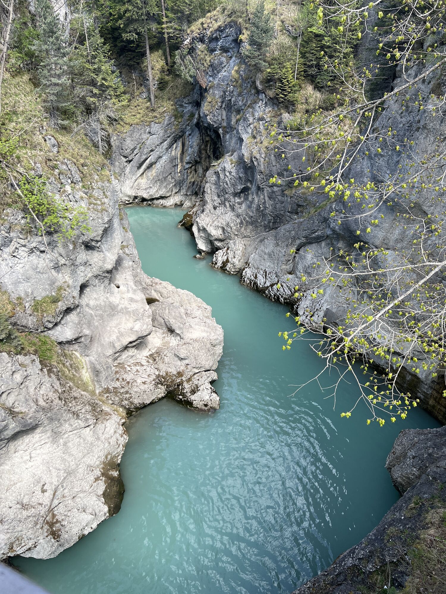
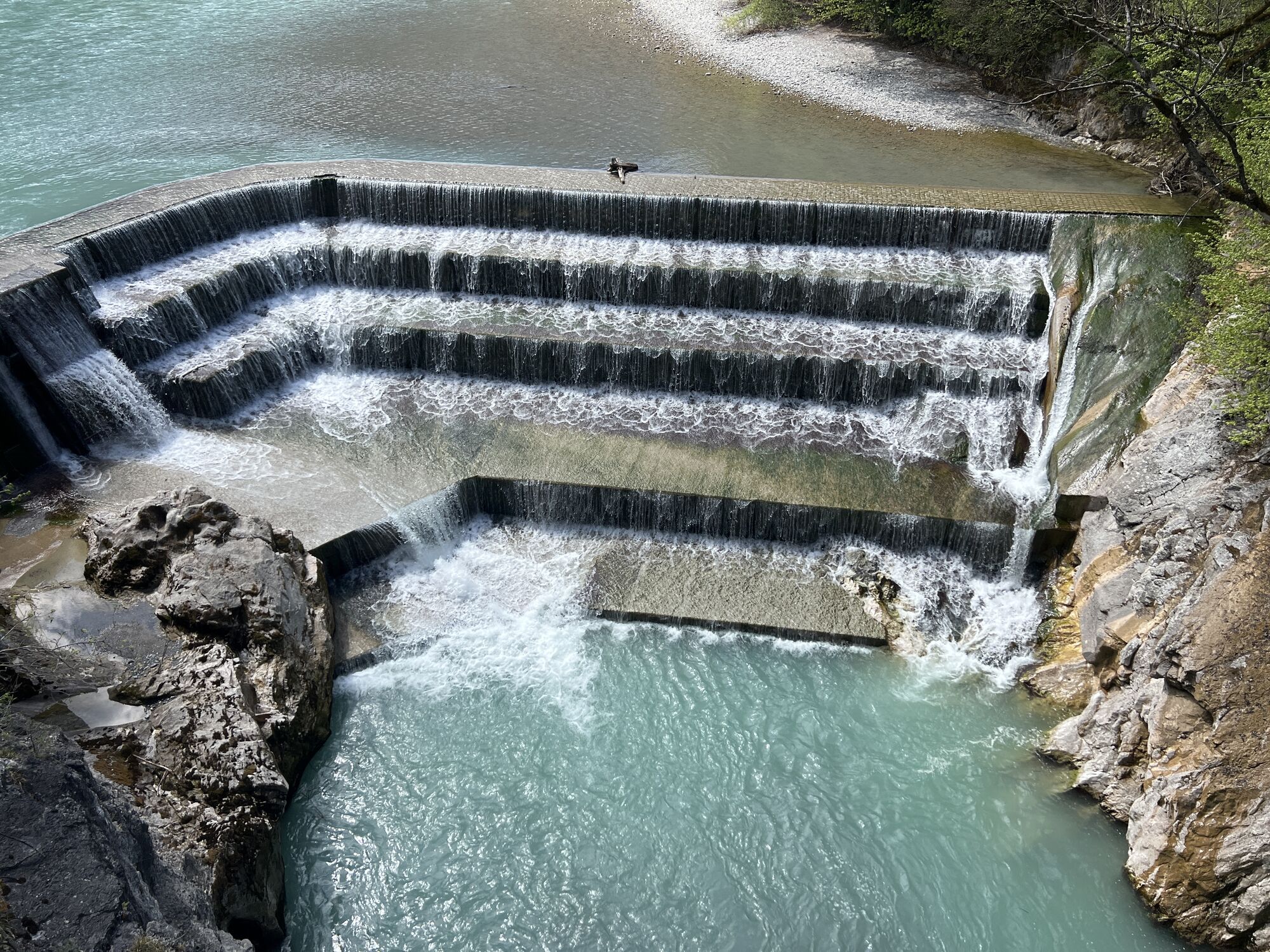
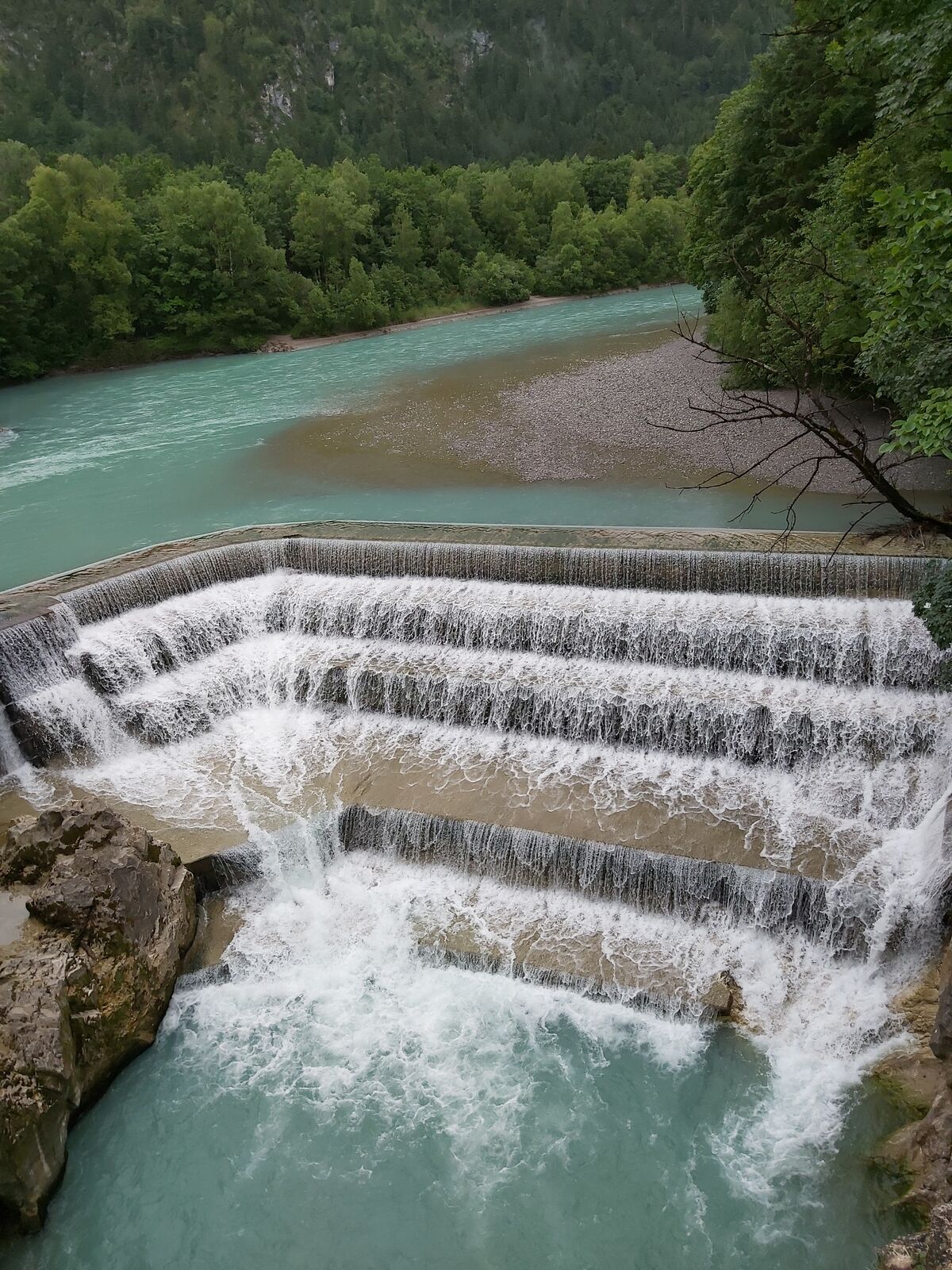
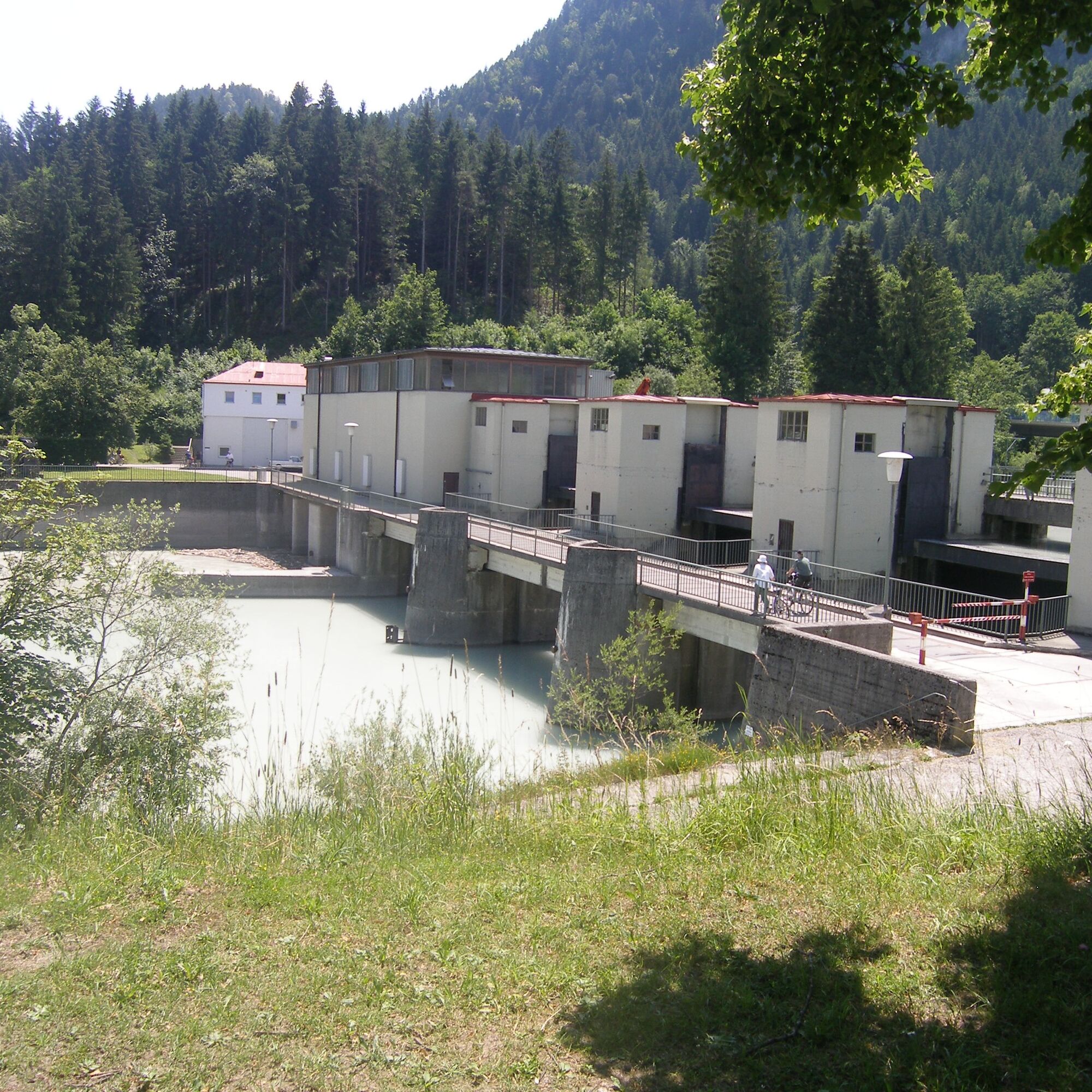
When you arrive at Schwangauer Street, follow the bike and footpath to the right up to the Lechfall. This is a good place for a short break: from the Maxsteg bridge, you can enjoy the impressive view of the twelve-meter-high dam and the rushing waters.
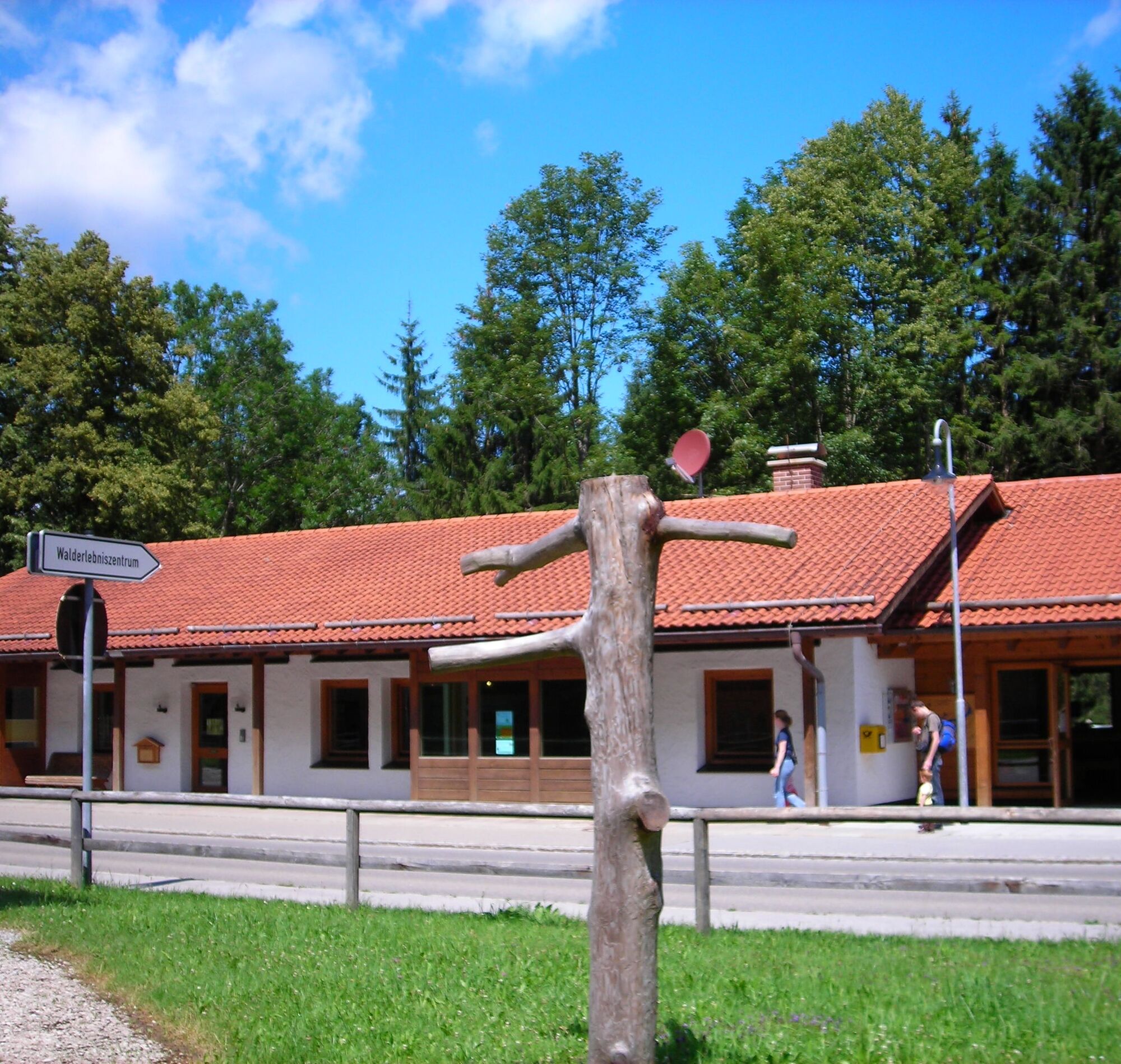
The next stop is the Forest Adventure Center, which you can visit. Afterwards, continue your ride, cross the border, and reach Austria.
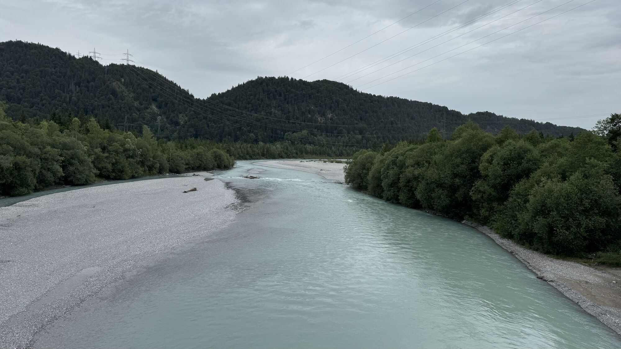
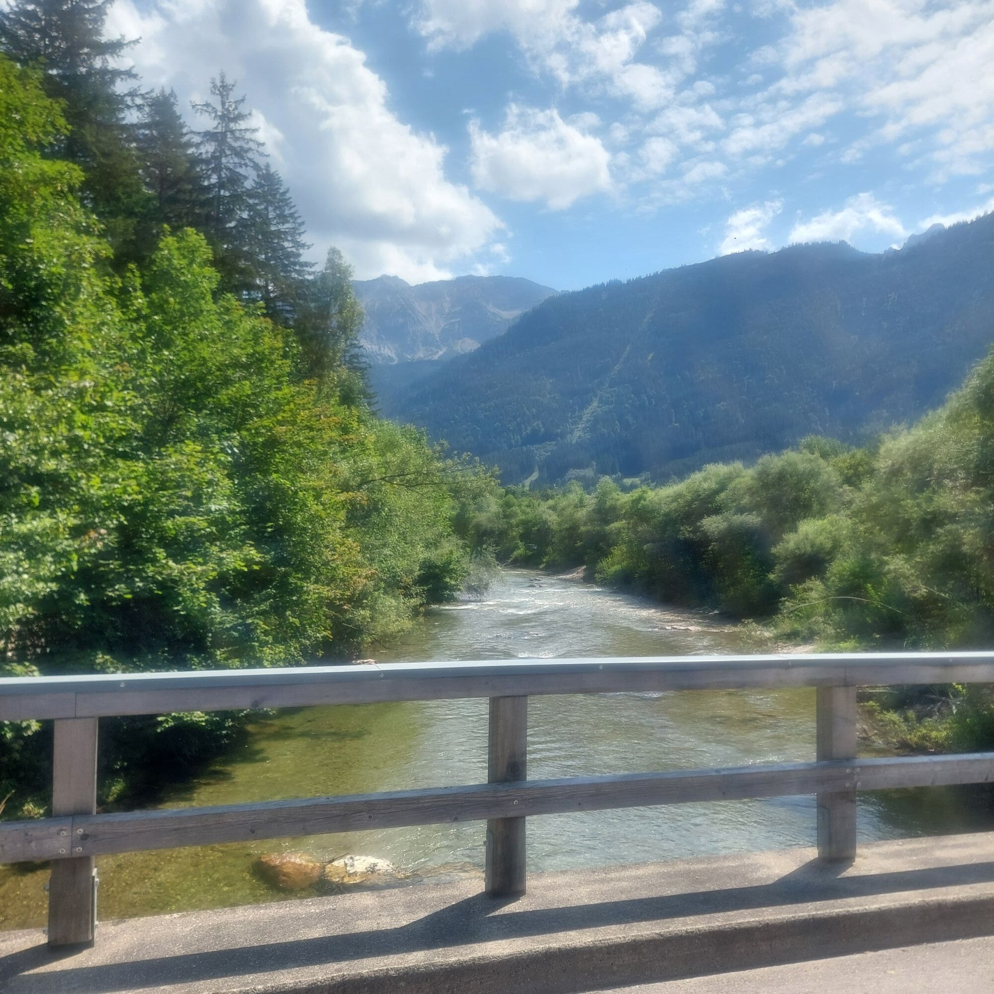
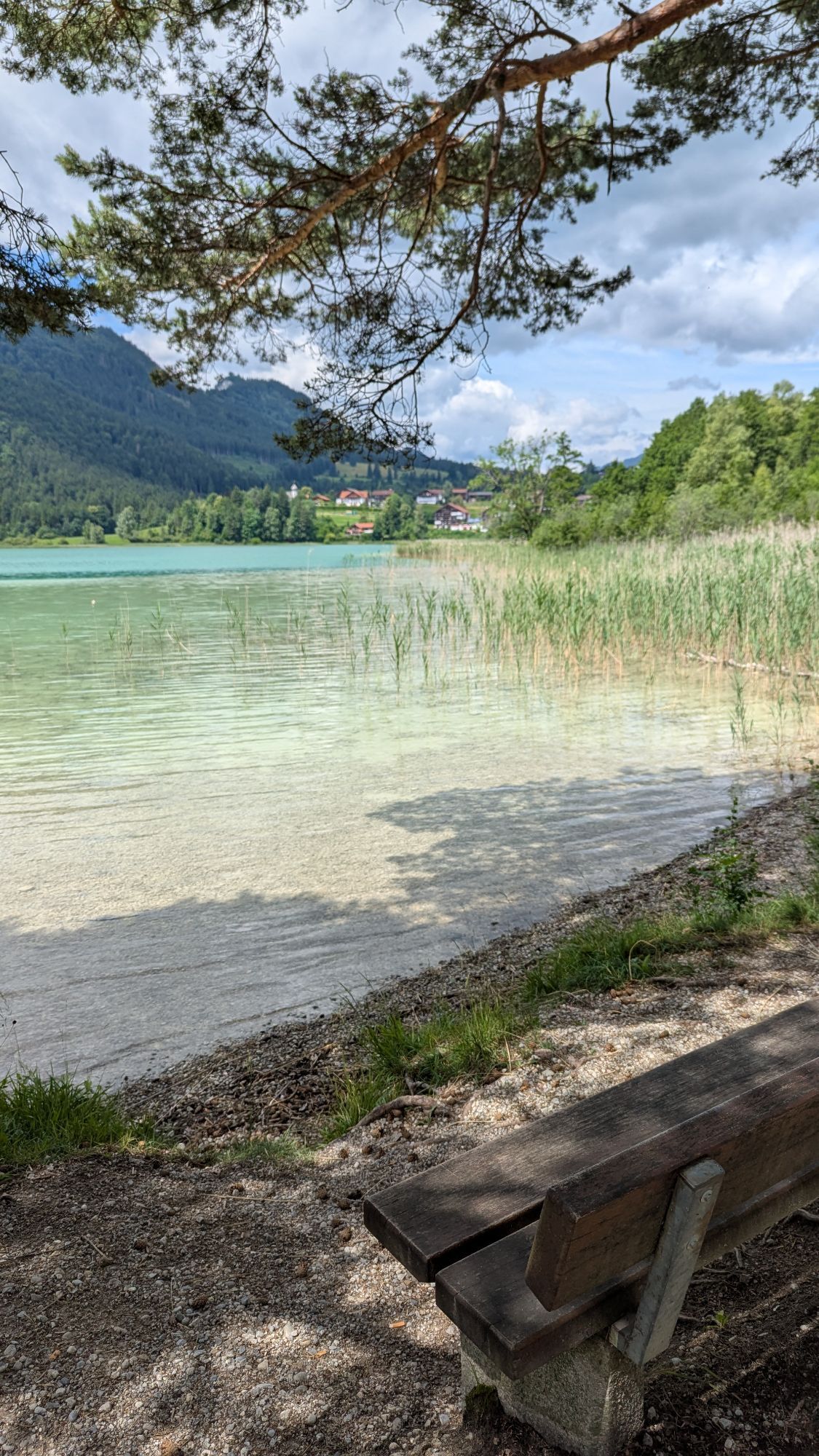
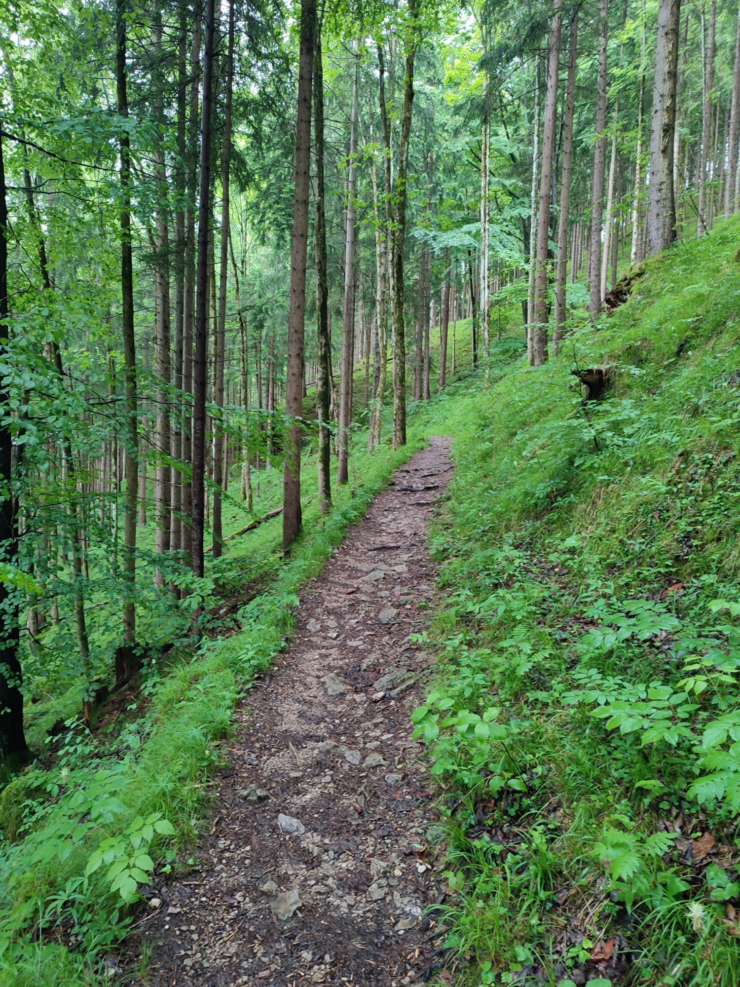
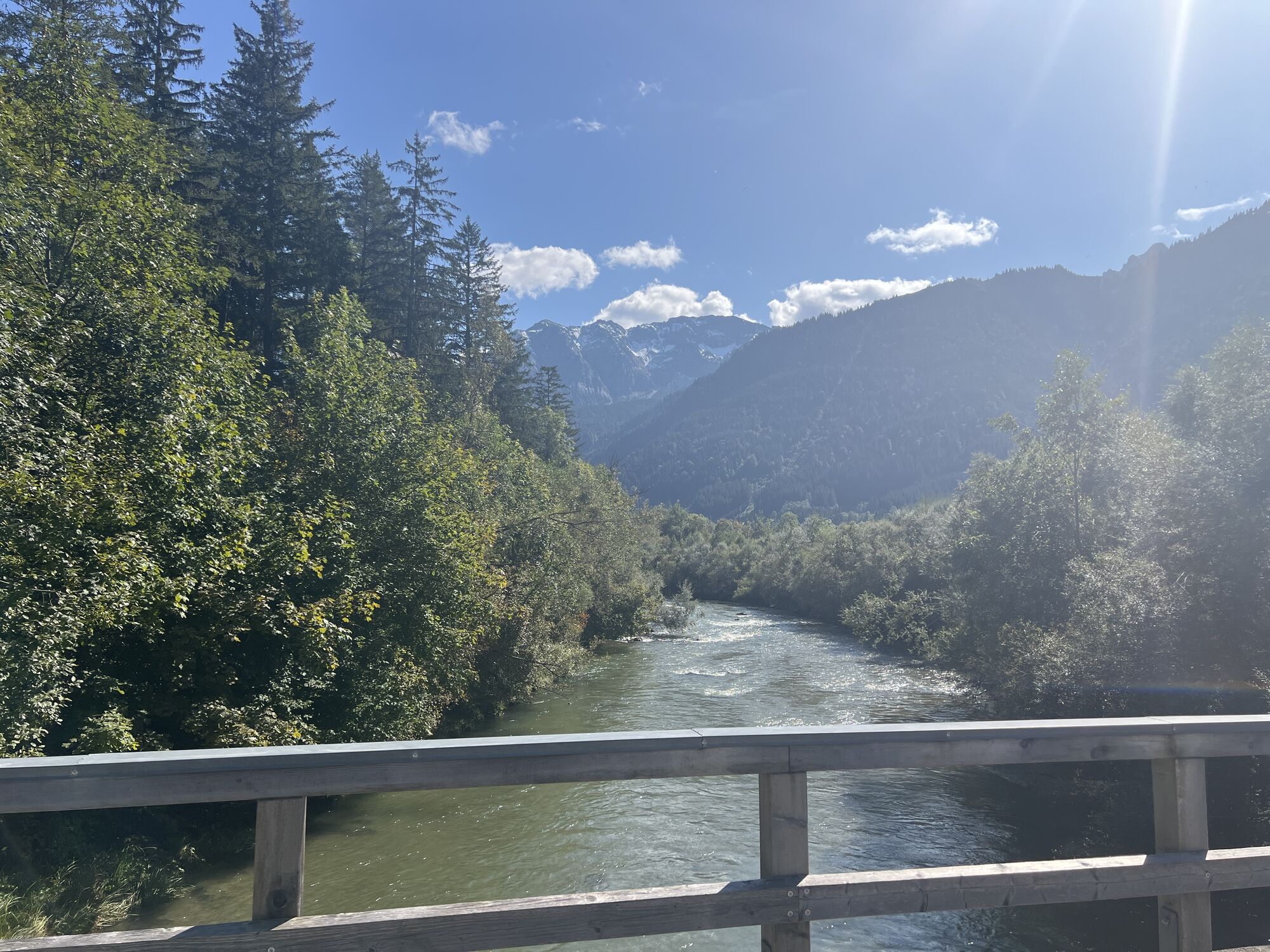
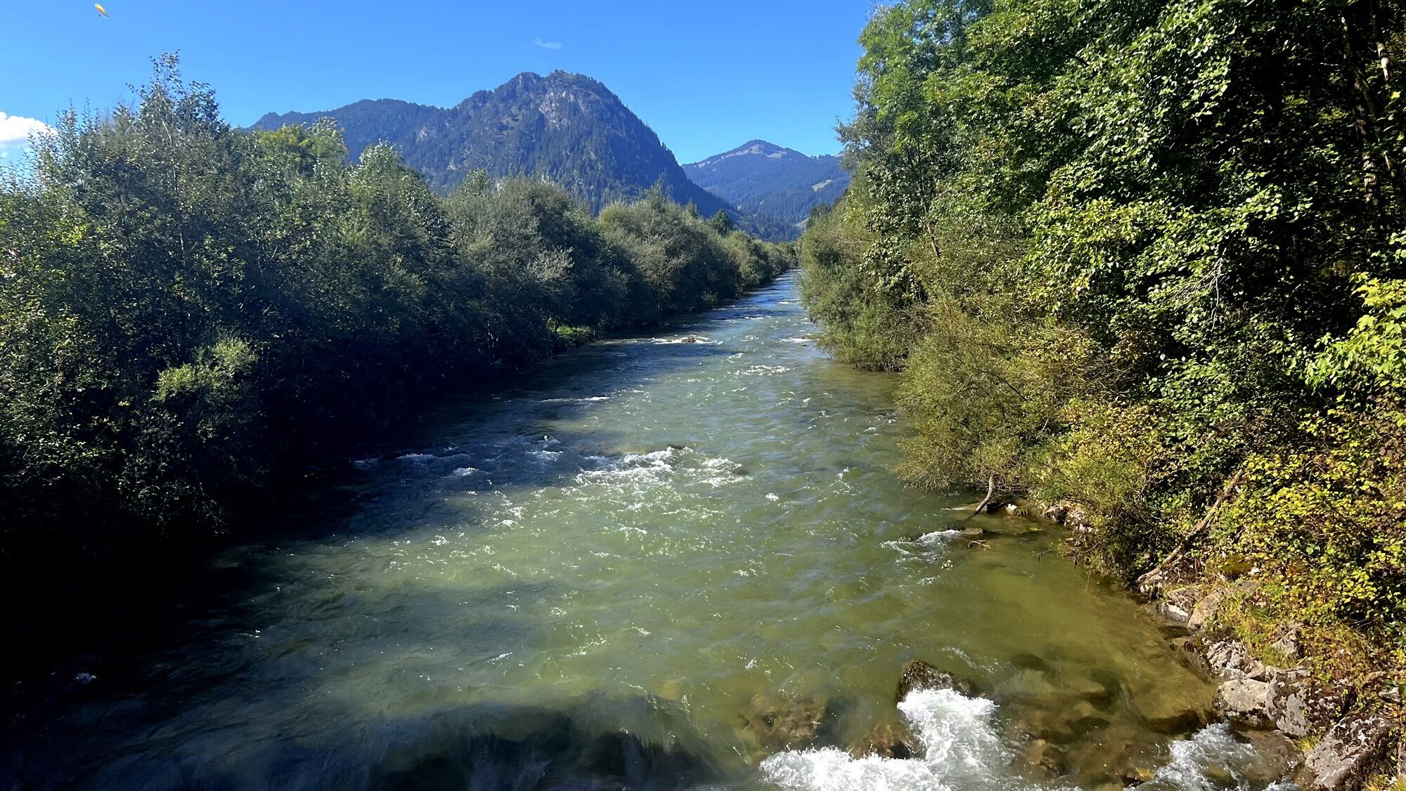
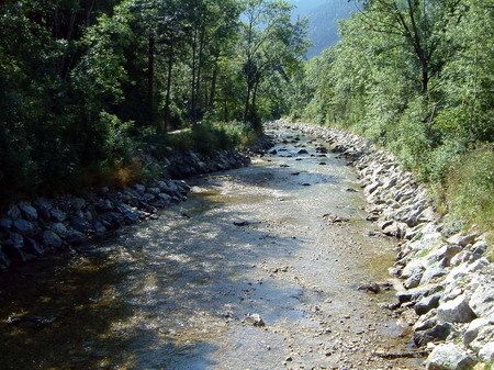
From here, follow the signs towards Musau, Vils, and Pfronten. In Vils, the path leads you to St. Anna Church and then along the Vils River to Pfronten-Steinach and Pfronten-Meilingen. After Meilingen, the route gently ascends. At the roundabout, turn right and follow the route to Weißensee.
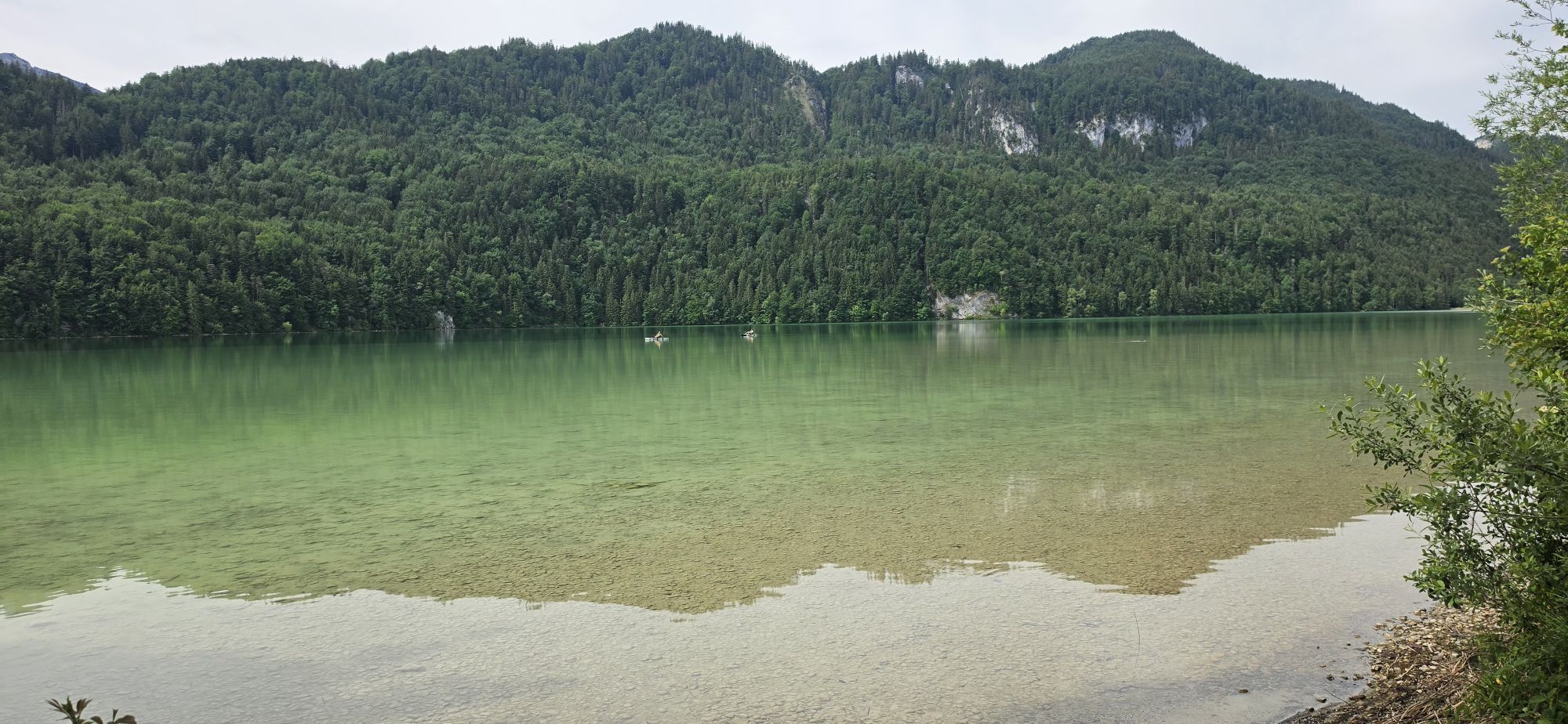
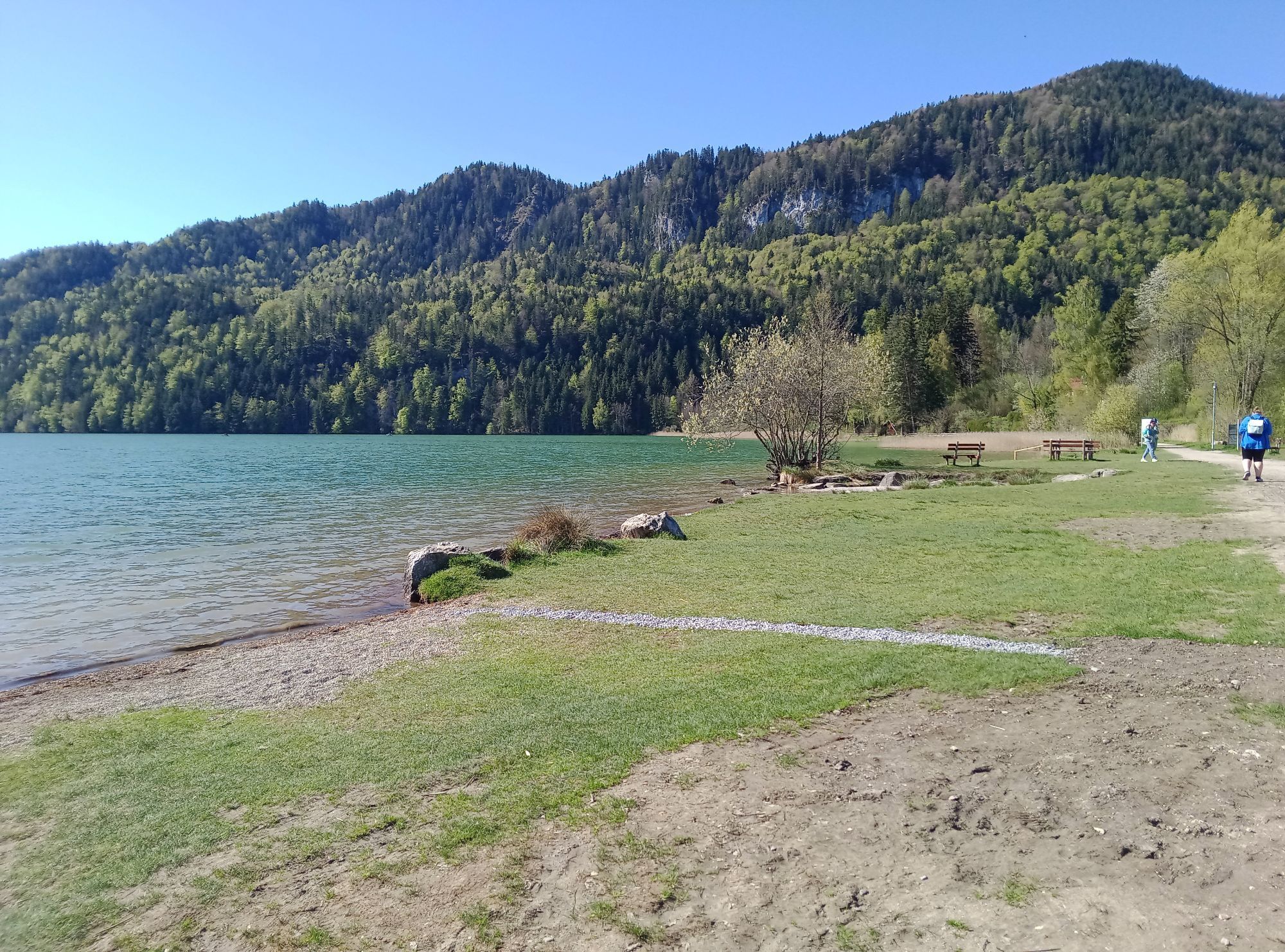
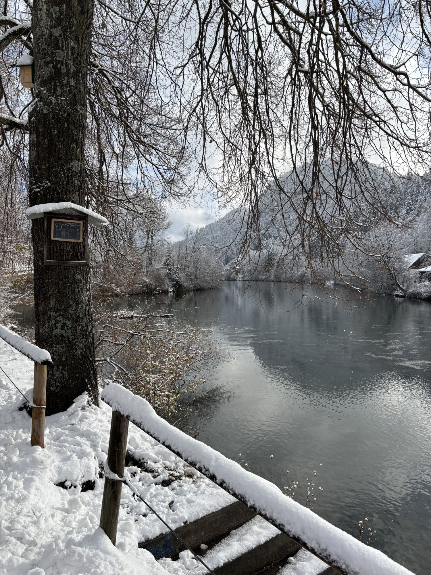
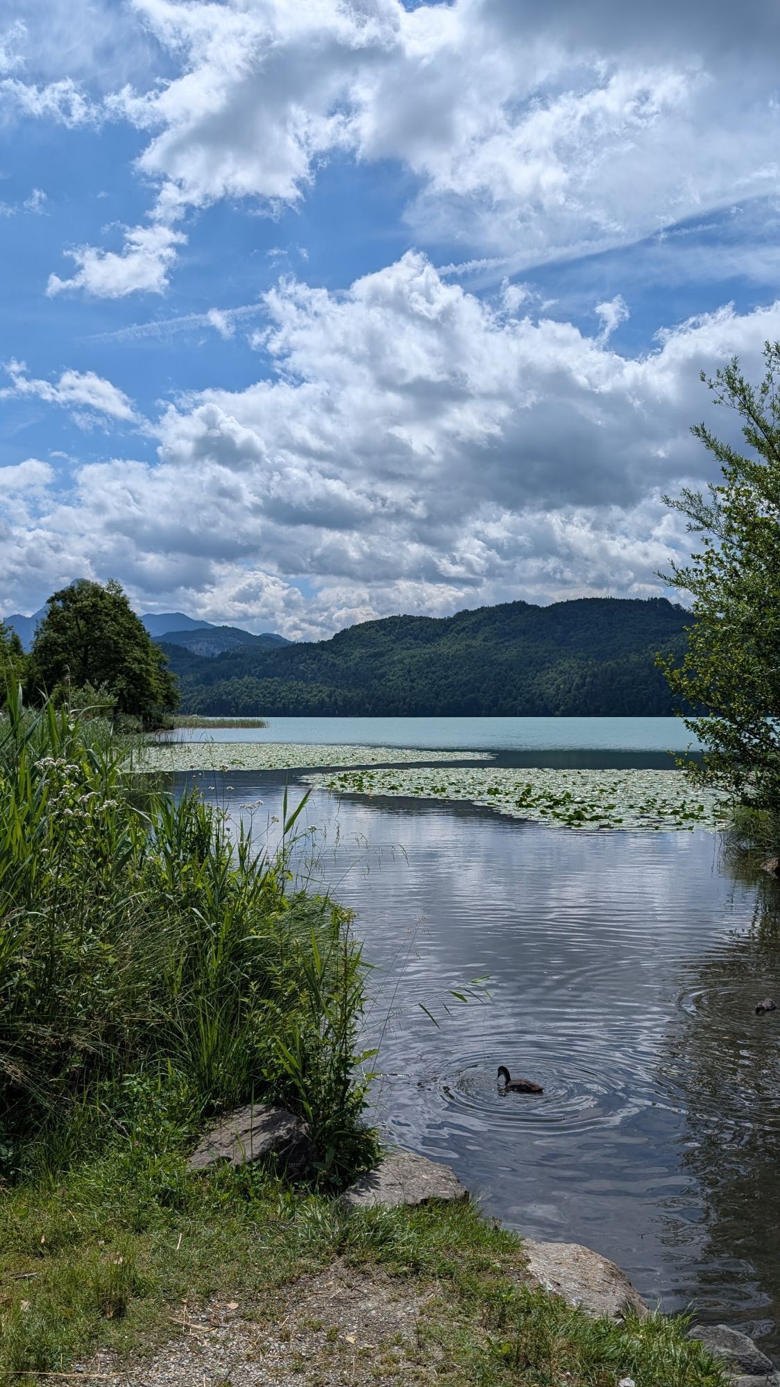
Refreshed, cycle along the shore of Weißensee to the road leading to Alatsee. Follow this road for a short distance before turning left towards Füssen city center. Ride through the town to Morisse, where you turn right to Bad Faulenbach and shortly afterwards left towards the Lech River and Schwangau.
After crossing the Lech footbridge, continue following the bike path to Alterschrofen. Here, turn left onto Bullachbergweg, which leads you back to Schwangauer Street. From there, it is about 1 kilometer back to the starting point at Schlossbrauhaus.
We recommend: bicycle helmet, weather-appropriate clothing, drinks, first aid kit, and a repair kit.
Coming from B17, drive to Schlossbrauhaus Schwangau, Gipsmühlweg 5, 87645 Schwangau
Train: Füssen Station
Bus: Stop "Schwangau - Gipsmühlweg"
Limited bicycle transport possible.
Free parking: Schlossbrauhaus/Tourist Information Schwangau, Gipsmühlweg 5, 87645 Schwangau
2
You can find bicycle rentals in Schwangau here.
You can find places to eat in Schwangau here.
Kamery internetowe z trasy
Talstation
Tegelbergbahn Bergstation
Skizentrum Steinach / Pfronten
Kesselmoos und Hochalpbahn
Tegelberghaus
Pfronten-Halden / Hotel Zugspitzblick
Füssen - Wellness Hotel Sommer
Segelclub Füssen
Pfronten - Boutique Hotel Blaue Burg Falkenstein
Camping Hopfensee
Camping Hopfensee
Hopfen am See - Restaurant Fischerhütte
Pfronten - Ostlerhütte
Eisenberg - Burgruine
Schloss Hohenschwangau
Rieden am Forggensee - Salenberghof
Füssener Jöchle Bergstation
Forggensee
Füssen Appartementhotel Seespitz
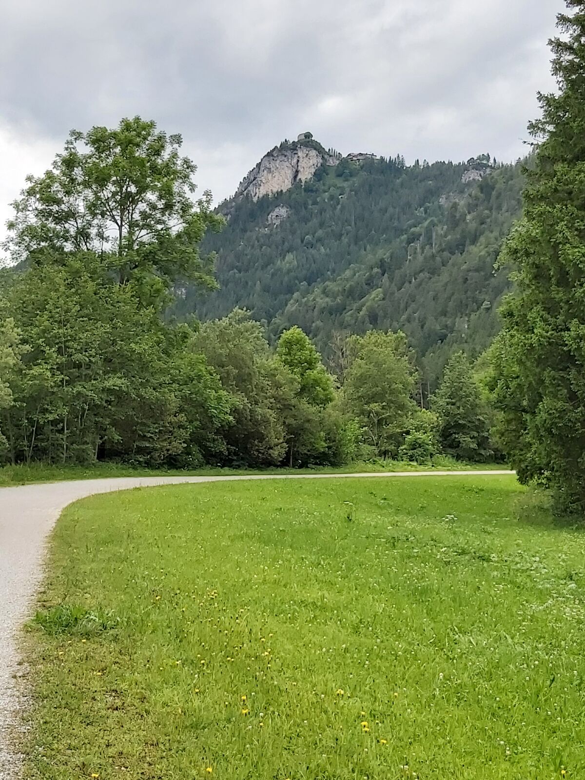
Schwangau - Blick auf den Tegelberg
Hotel Hirsch
Hotel Hirsch
Hotel Hirsch
Hotel Hirsch
Hotel Hirsch
Hotel Hirsch
Hotel Hirsch
Hopferau Burgruinen Hohenfrey- und Eisenberg
Tegelberg Landeplatz

Popularne wycieczki w okolicy
- 4,8
Around Weißensee
światłoWędrówka 6,12 km - 5,0
Hiking tour to Breitenberg
ciężkiWędrówka 15,6 km - 4,8
Yellow Wall Trail, Tegelberg (A)
średniVia ferrata 3,65 km - 4,1
Drehhütte
światłoWędrówka 3,34 km - 4,5
Circular hike Dreh- and Rohrkopfhütte
światłoWędrówka 8,76 km - 4,9
Gemeinde Grän, Tirol/Österreich Aggenstein Rundtour über Höhenweg
średniWędrówka 9,84 km - 4,4
Rundwanderung Stuibenfälle
średniWędrówka 3,92 km - 4,9
Tegelberg | Branderschrofen | Neuschwanstein
średniWędrówka 14,8 km - 4,4
Höllschlucht hike » Water & Forest
średniWędrówka 7,38 km - 4,3
Three-lake route (awarded the Tyrolean Hiking Trail Seal of Quality)
średniWędrówka 14,8 km
Wędrówki i tropienie


Nie przegap ofert i inspiracji na następne wakacje
Twój adres e-mail została dodana do listy mailingowej.