







Bike route - excursion route through "Das Blaue Land"
Poziom trudności: 1
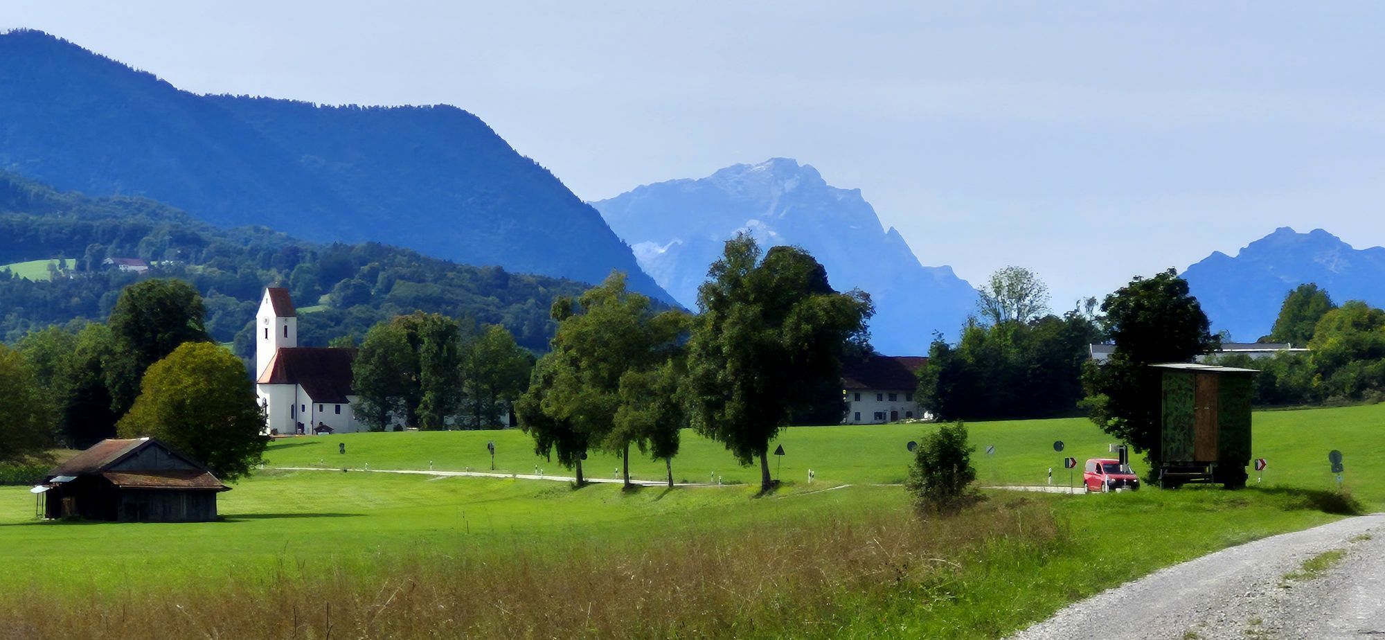
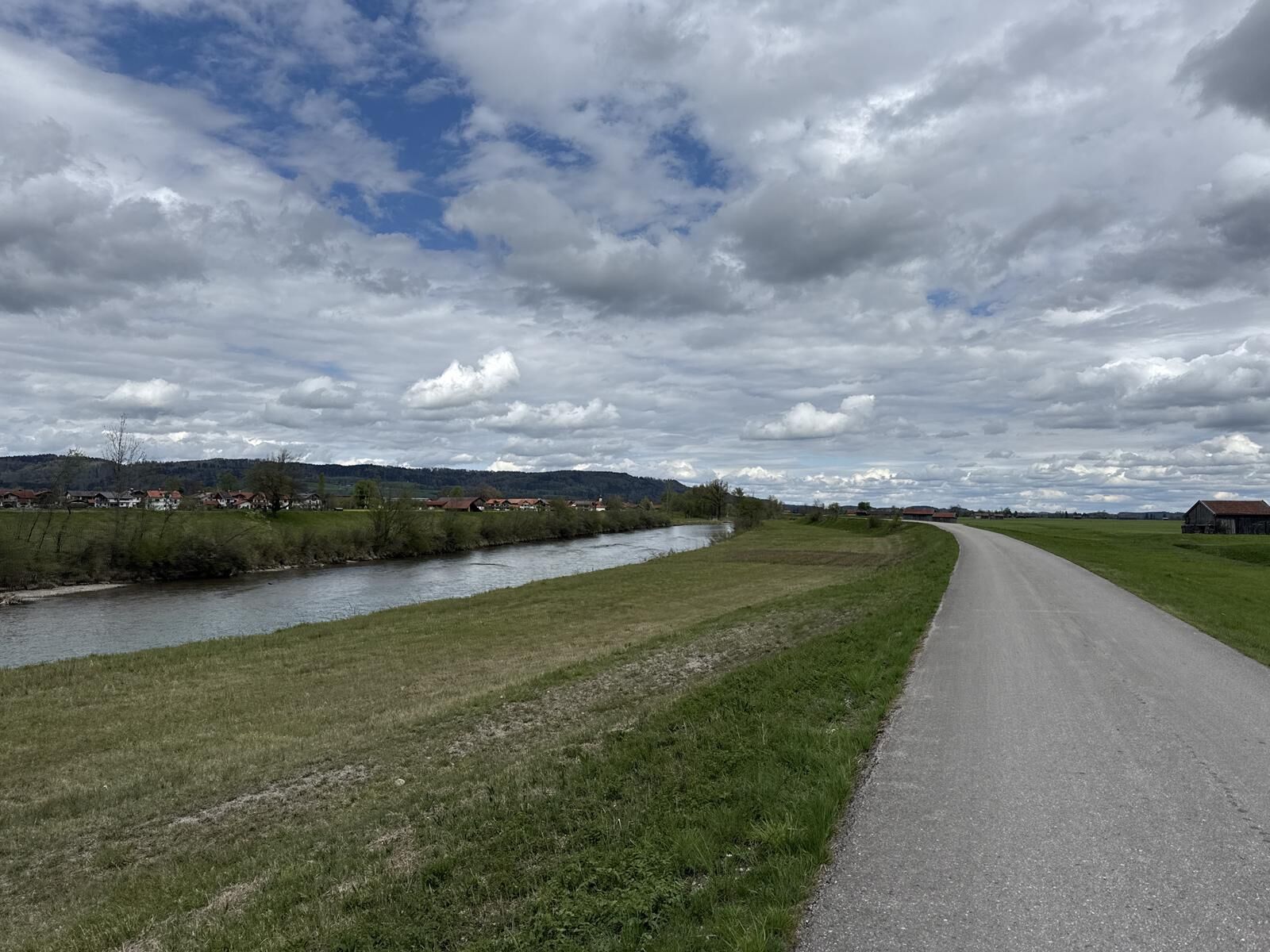
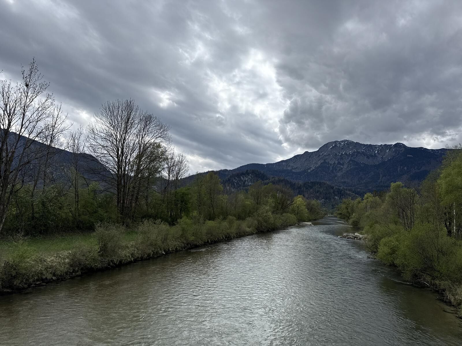
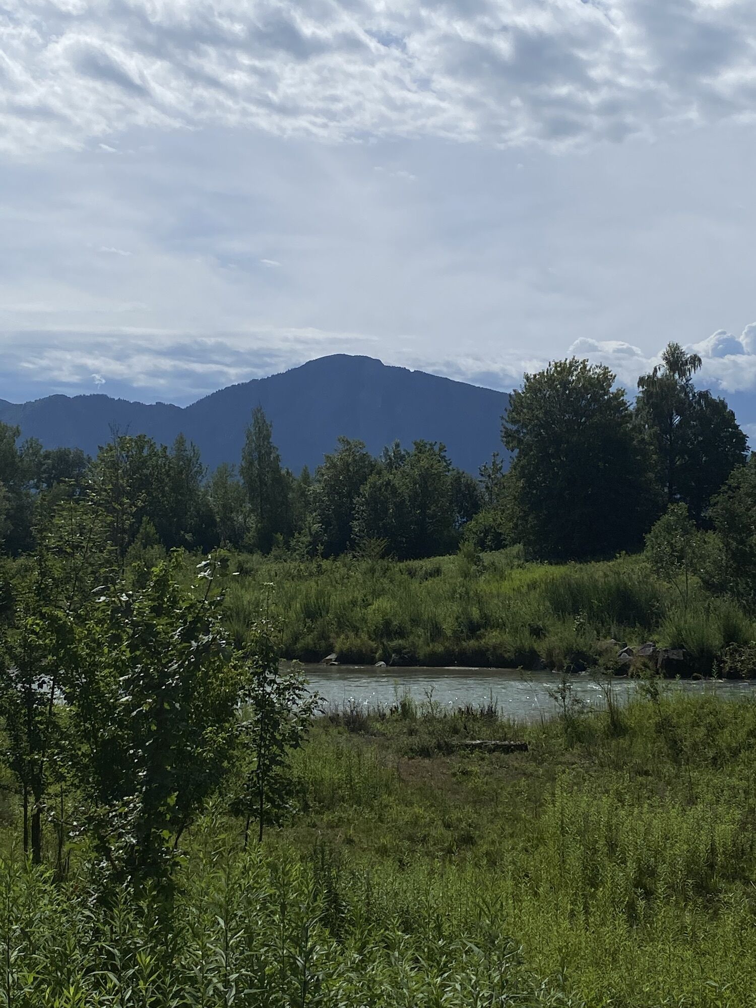
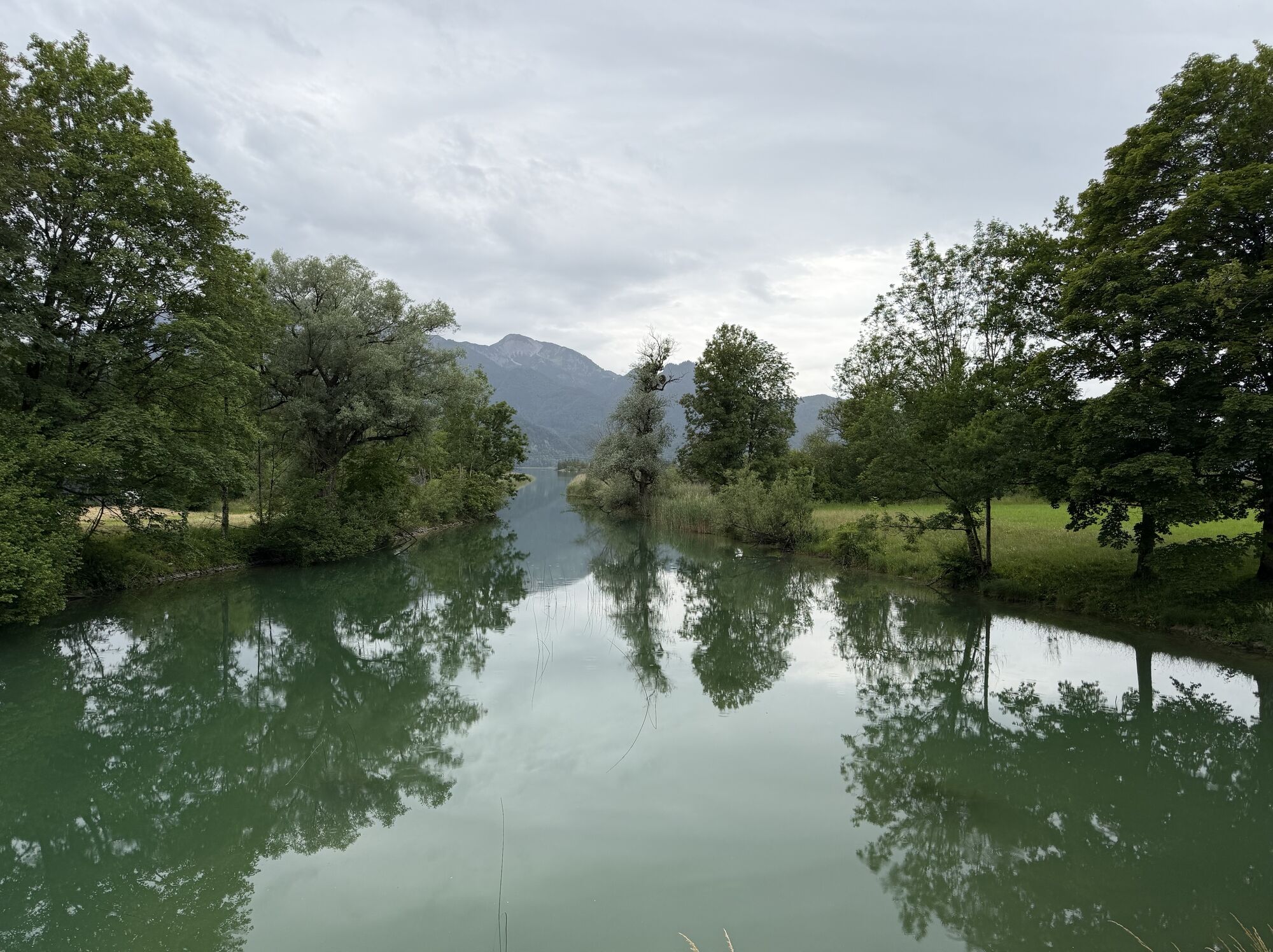
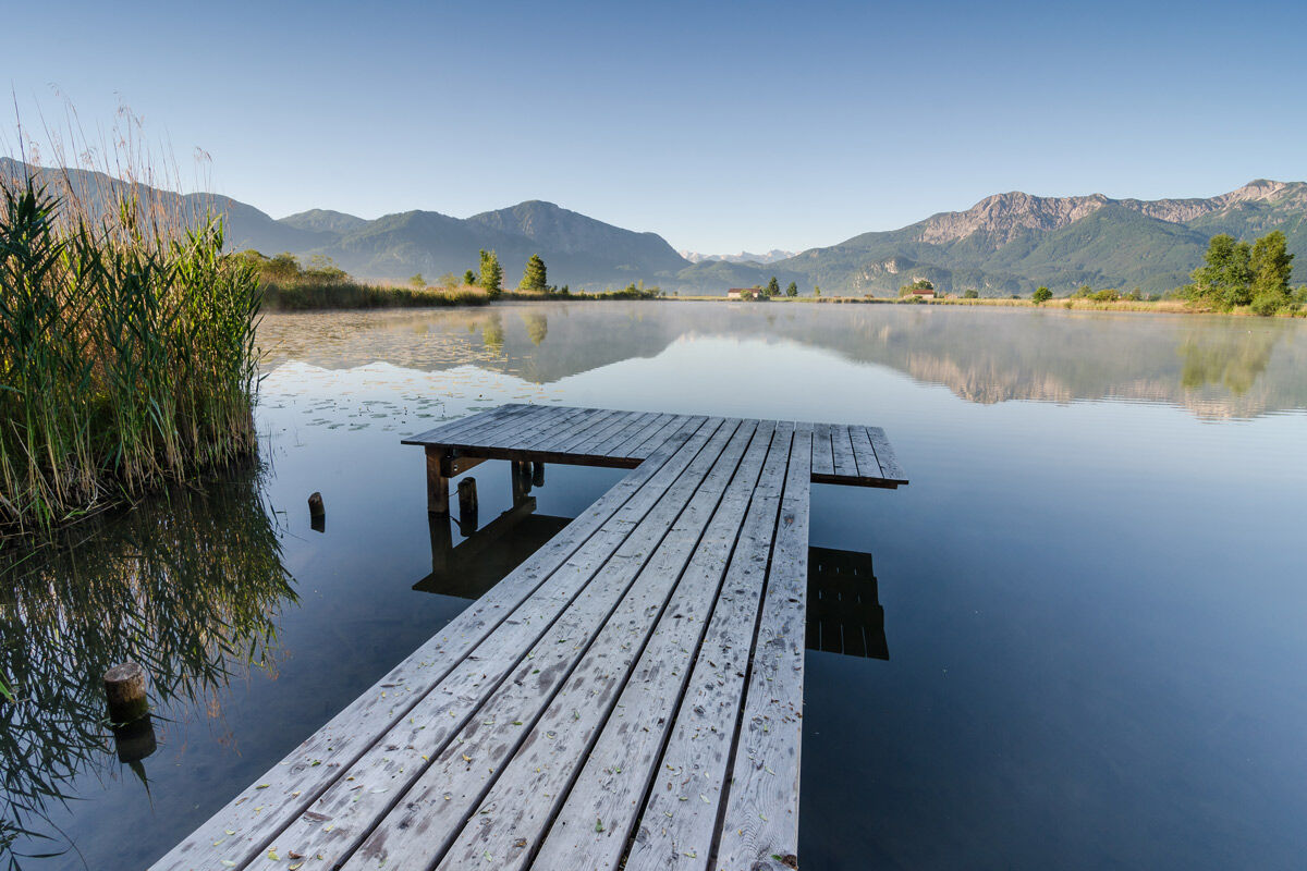

It can safely be called the most varied of the bike routes in the Blaue Land. Route number 1 offers everything that nature lovers desire with its moorlands, mountain views, and monastery gardens, as well as art lovers with its museums and churches, and technology enthusiasts with the Walchensee power plant. With many swimming spots, nature experience trails, and fitness paths, even younger cyclists won't miss out on variety. One thing is certain: There will certainly be no boredom on this route.
After starting at the Großweil Loisach bridge, the route first passes through the quaint village of Kleinweil, then along an old way of the cross with ten stations and a small chapel, continuing towards Zell. The next section along the highway to Sindelsdorf—which was once home to the expressionist painter Franz Marc of the "Blue Rider" group—is somewhat less attractive but should not discourage cyclists; it can be easily ignored by consistently looking to the right at the magnificent Kochel moors and the mountains beyond. After visiting Franz Marc’s garden house, the route from Sindelsdorf initially continues on partly paved field paths to the Loisach river and along it through a beautiful meadow and later moor landscape with a bird sanctuary. With a bit of luck and quiet, rare birds such as the lapwing, corncrake, or meadow pipit can be spotted there. At the Benediktbeuern monastery, besides a university of applied sciences, there is also the center for environment and culture, which offers families with children a lot of variety in the form of discovery trails, biotopes, and a nature museum. The basilica and the meditation garden are definitely worth a visit, and a hearty break in the monastery's pub with beer garden as well.
The route continues with constant views of the Herzogstand, Heimgarten, and Jochberg mountains, first through fields and meadows over a small bridge and then along the Lainbach stream to the old Brunnenbach estate. From there, the route follows a hiking trail directly beside the lazily flowing Loisach river to Kochel. A fitness trail and many rest benches invite longer breaks. Once in Kochel, you can choose to visit the Franz Marc Museum, the Walchensee power plant, or take a boat trip on Lake Kochel. The route then continues on a very beautiful bike path alongside a road until shortly before the monastery village of Schlehdorf. Here a detour is also worthwhile to admire the old monastery of the Benedictine Mission Sisters with its beautiful St. Tertulin church and lovingly designed gardens. Also worth a visit are a detour to Lake Kochel or a short walk directly along the shore on the so-called rock path before returning along the Loisach river to the Eichsee (swimming opportunity) and back to the starting point in Großweil.
Cyclists will find plenty of entertainment here as well, such as a visit to the Glentleiten open-air museum with its old farmers' houses and a folklore museum, or the model railway layout with trains to operate yourself, and a stop in one of the cozy local inns.
Bicycle helmet Gloves Short or long cycling pants Short or long jersey Rain jacket Good shoes, possibly with click-in mechanism Sunglasses Drinking system Food First aid kit GPS device + second set of batteries Up-to-date map (scale 1:50,000) Spare inner tube, pump Tools Camera Money
In case of emergency, please contact the nearest rescue control center. Regardless of your location, you can reach it nationwide in Germany by calling 112.
The hiking and cycling trails we describe are primarily intended for forest management; their use is at your own risk (§ 14 para. 1 BWaldG).
From Munich via the A95 and from Garmisch-Partenkirchen via the B2 and A95
Bus stop: Großweil
Bus lines:
9611 Kochel - Schlehdorf - Großweil - Ohlstadt - Murnau (Note: The Glentleiten open-air museum is only served from April to October!)
9613 Penzberg - Benediktbeuern - Kochel - Schlehdorf
9617 Penzberg - Iffeldorf - Antdorf - Habach - Sindelsdorf - Penzberg
Guests of the "Das Blaue Land" region as well as of the "Ammergauer Alpen" can use many bus lines and the train lines from Murnau to Oberammergau and from Uffing to Garmisch-Partenkirchen free of charge with the electronic guest card or the KönigsCard. Further information can be found at: https://www.dasblaueland.de/Service/mobil
Hiking parking lot at the Loisach bridge in Großweil
1
 Uzyskaj wgląd
Zawsze na żywo z ponad 9 500 kamer internetowych. bergfex Jako użytkownik Pro, możesz teraz zobaczyć odpowiednie kamery internetowe dla wielu wycieczek w aplikacji wycieczki od. Pozwala to na bezpośredni podgląd aktualnych warunków.
Uzyskaj wgląd
Zawsze na żywo z ponad 9 500 kamer internetowych. bergfex Jako użytkownik Pro, możesz teraz zobaczyć odpowiednie kamery internetowe dla wielu wycieczek w aplikacji wycieczki od. Pozwala to na bezpośredni podgląd aktualnych warunków.
Popularne wycieczki w okolicy
-
3,9
Benediktenwand (1801 m)
Wędrówka 23,0 km -
4,0
Wasserfall-Weg Jachenau
światłoWędrówka 9 km -
4,9
Rundweg Heimgarten und Herzogenstand
średniWędrówka 15,0 km -
4,8
Jochberg
światłoWędrówka 7,56 km -
4,7
Brauneck zum Latschenkopf Rundweg
średniWędrówka 6,30 km -
4,6
"Rabenkopf" Rundweg
Wędrówka 11,0 km -
4,6
Mountain route - Heimgarten via Käseralm
średniWędrówka 10,8 km -
4,3
Heiglkopf-Blomberg-Zwiesl Wackersberg, Bayern
światłoWędrówka 12,6 km -
4,7
Herzogstand
średniWędrówka 7,28 km -
4,0
Rabenkopf
średniWycieczki górskie 17,1 km
Wędrówki i tropienie


Nie przegap ofert i inspiracji na następne wakacje
Twój adres e-mail została dodana do listy mailingowej.





