


Wasser-Radlwege: Section 2 of the art loop in the Alpenregion Tegernsee Schliersee


The Wasser-Radlweg Bayern connects the most beautiful river and lake landscapes of southern Bavaria over around 1,200 kilometers. This stage leads through the district of Miesbach to Lake Tegernsee. Mostly...
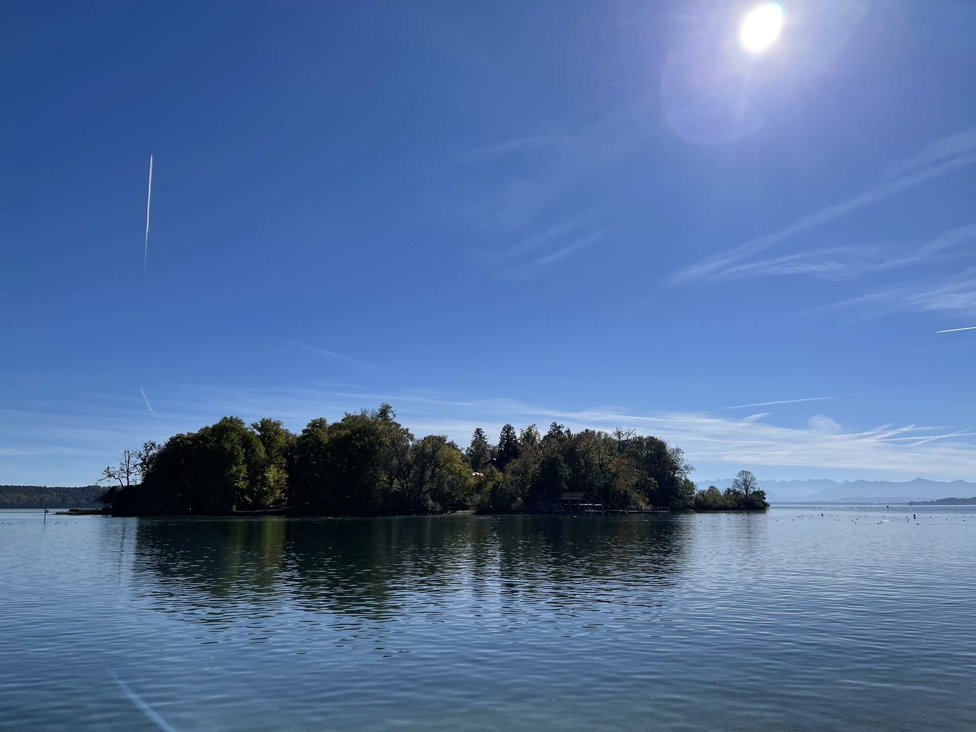
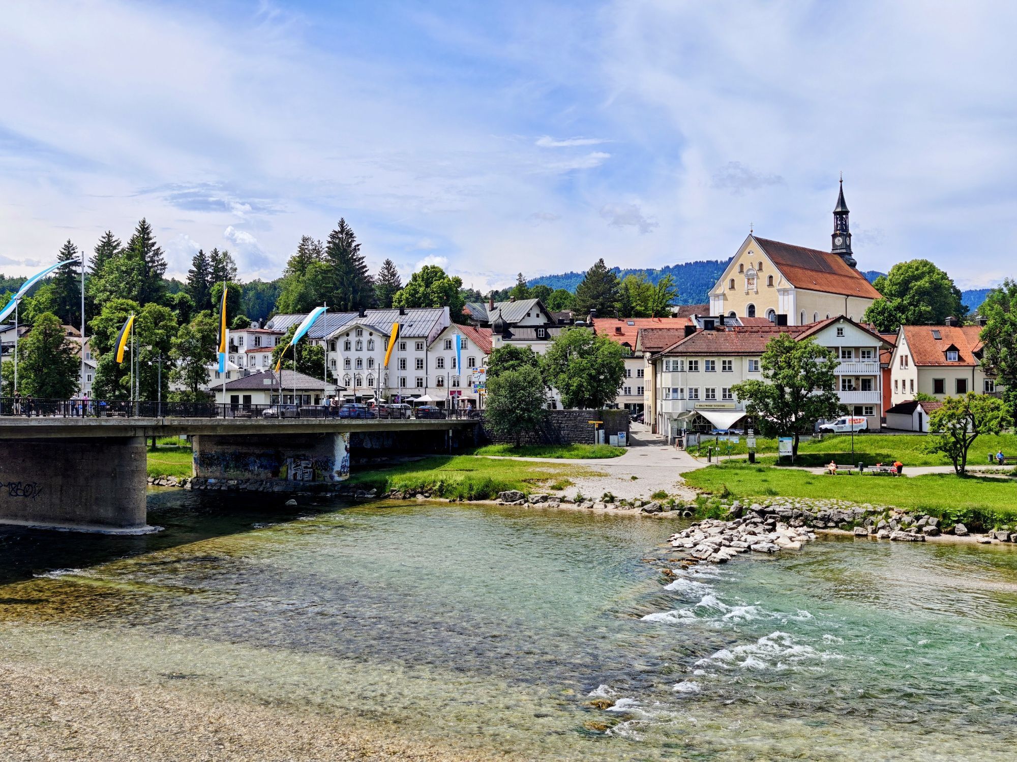
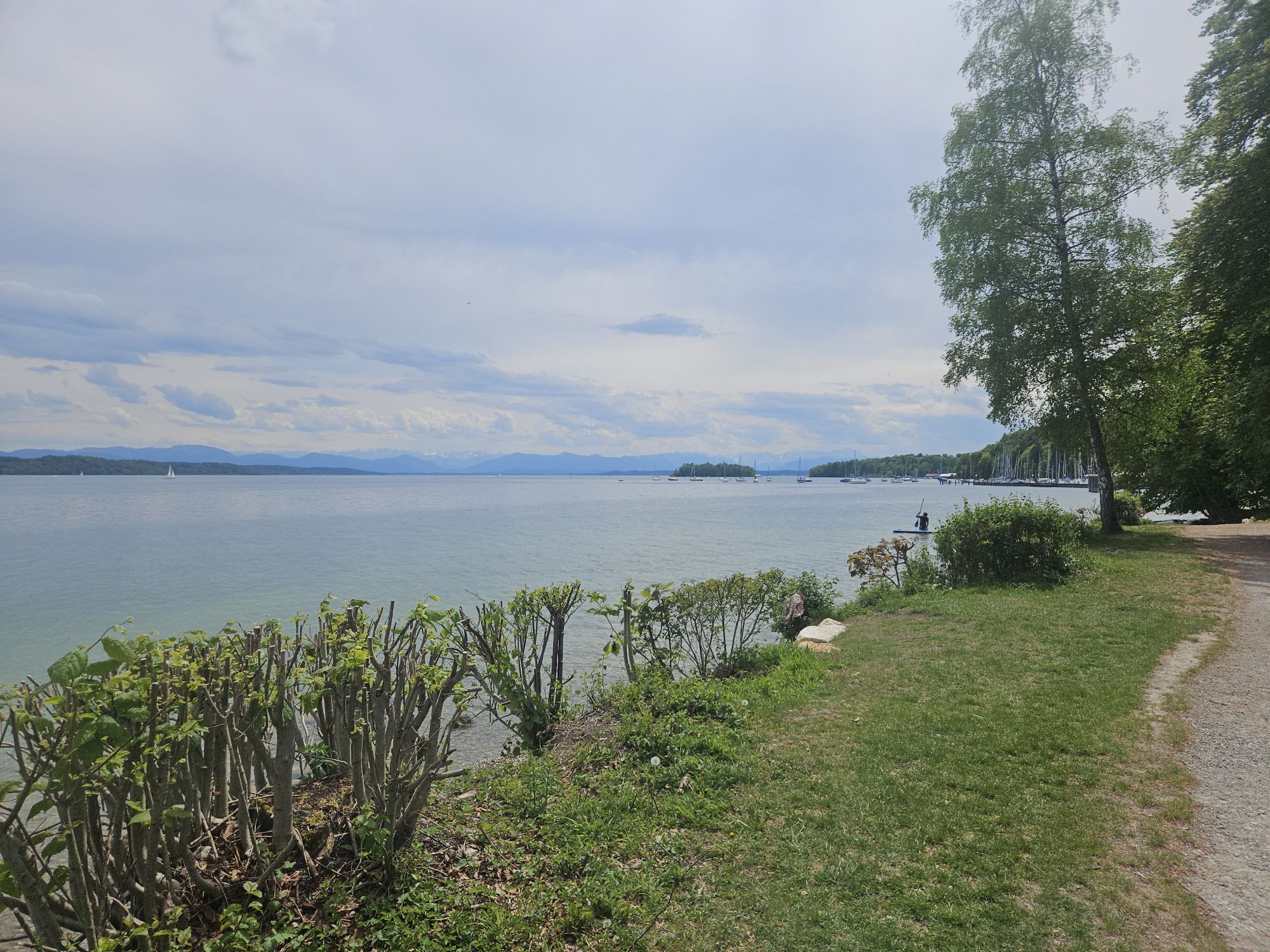
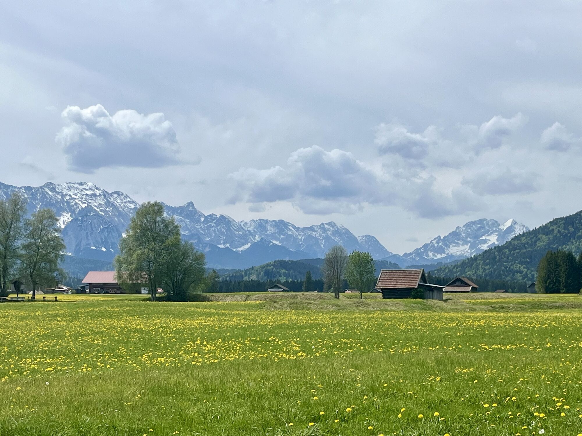
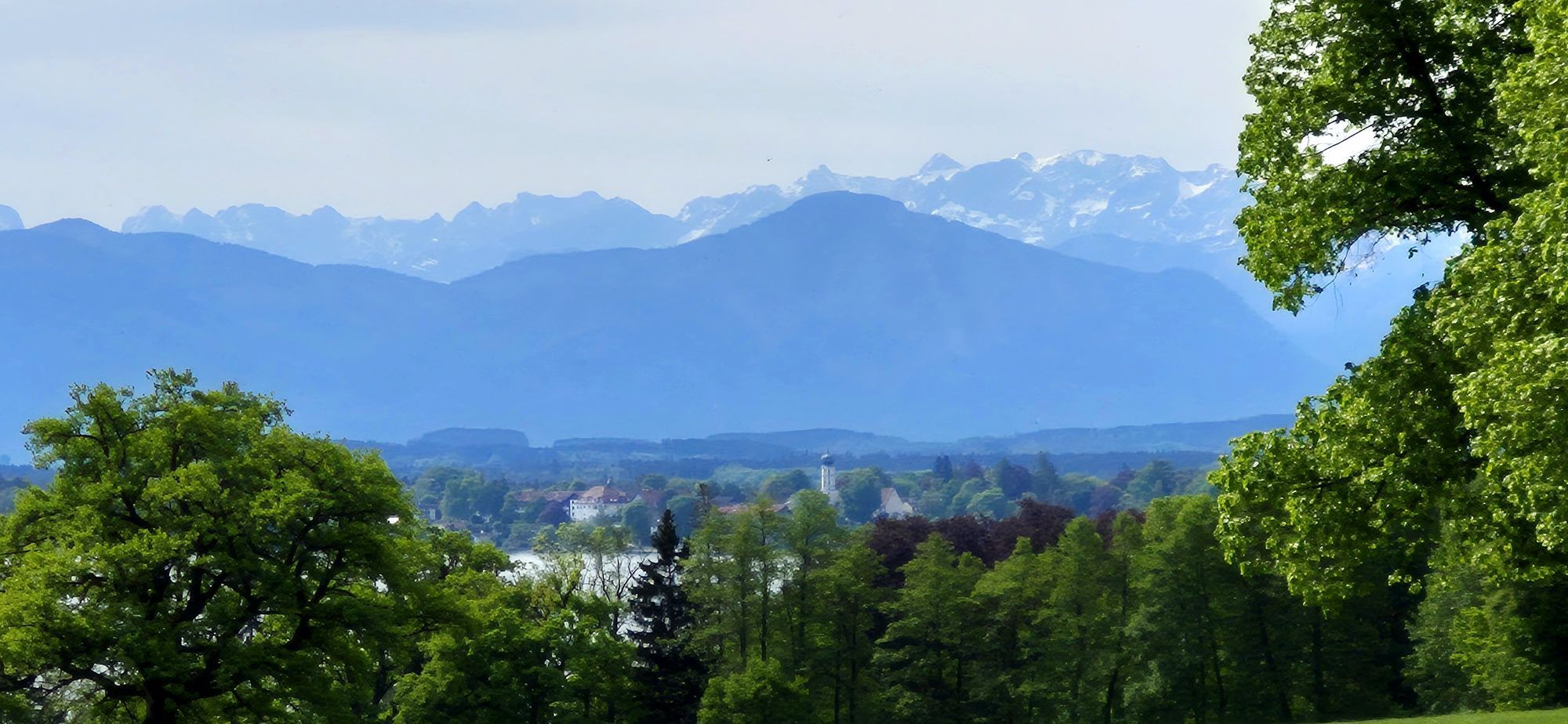
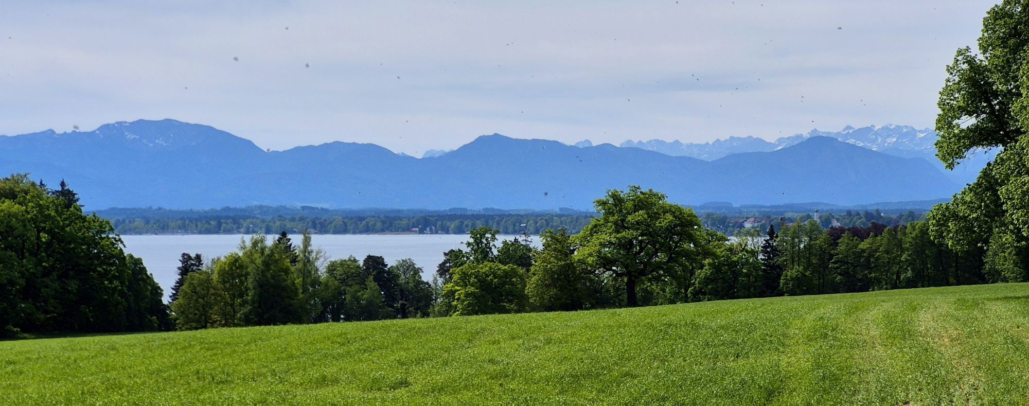
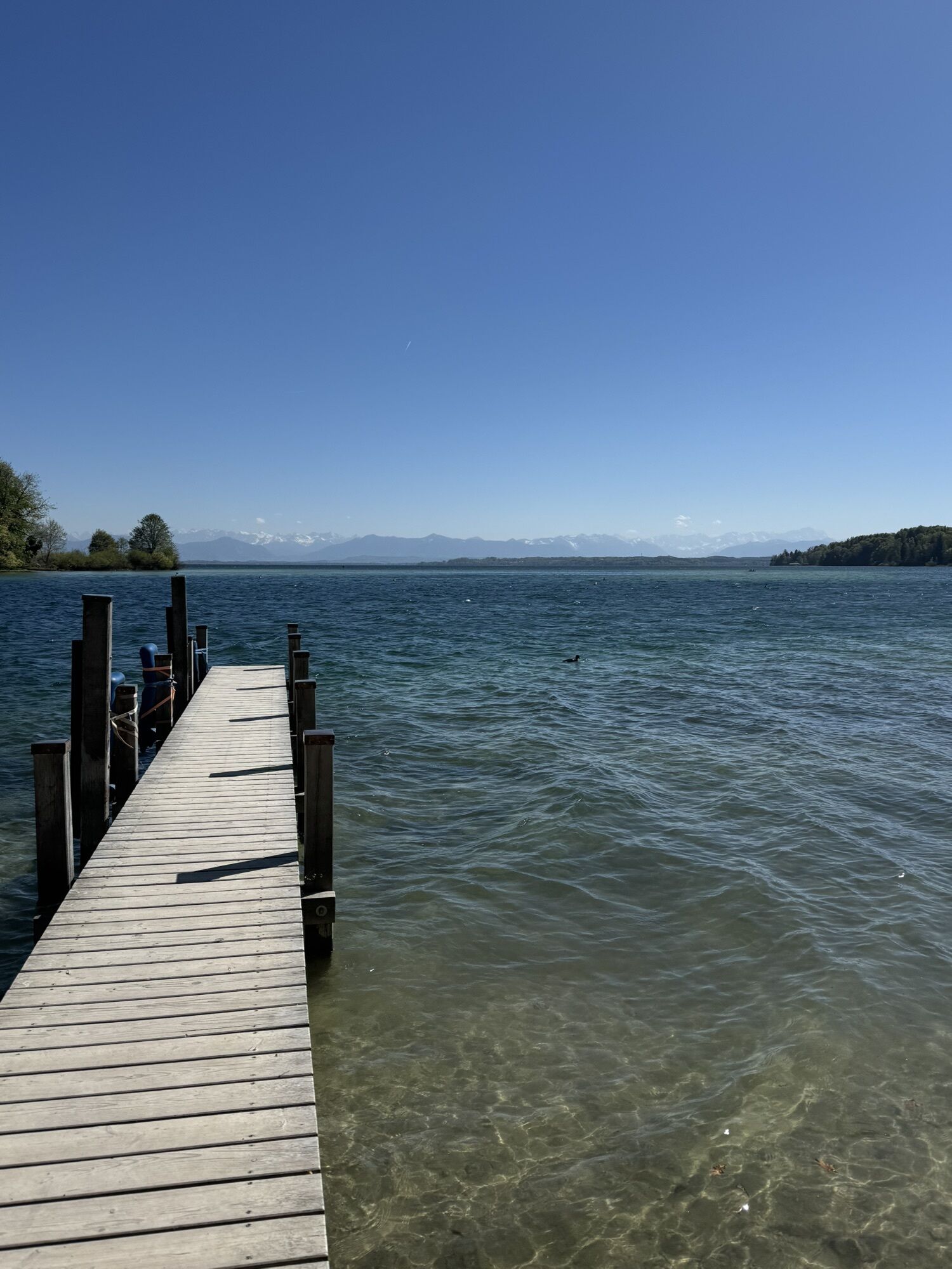
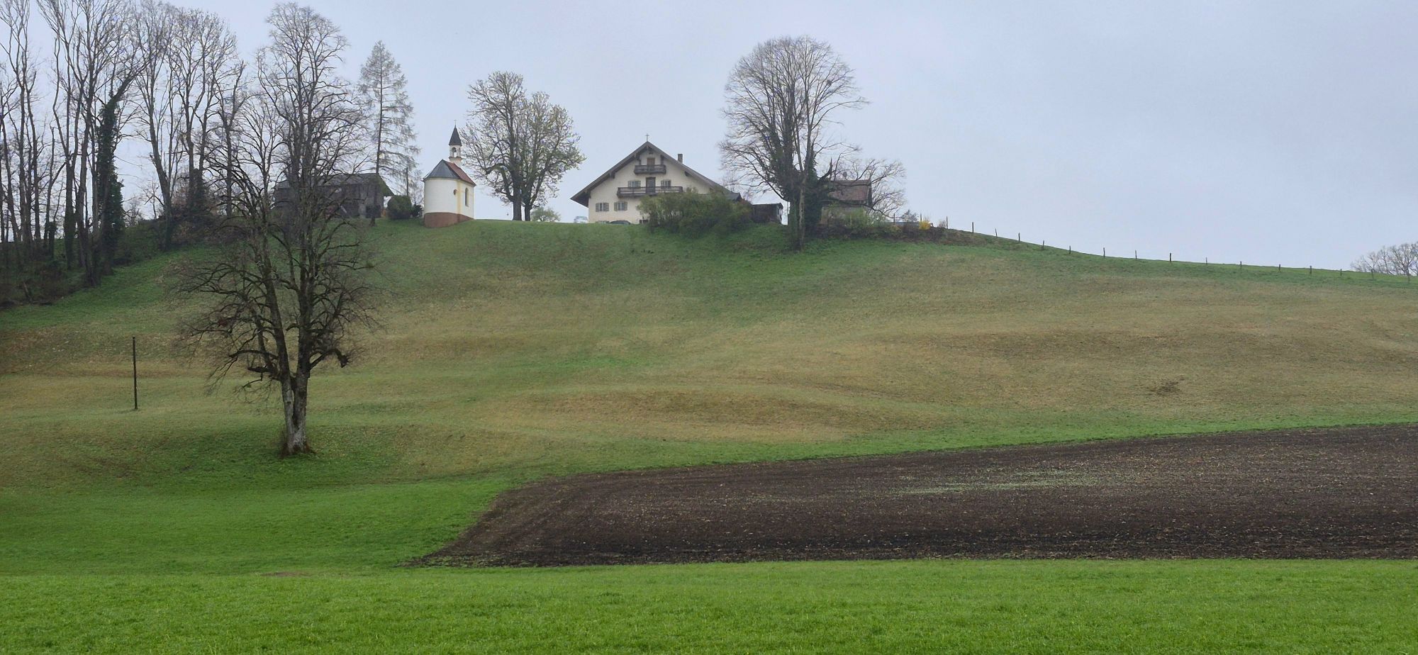
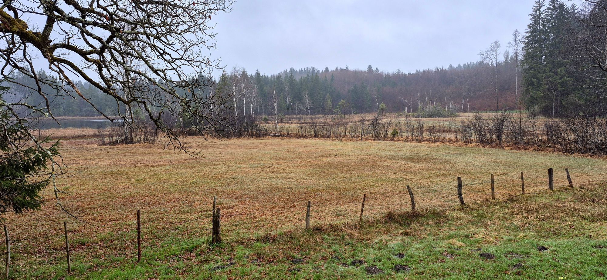
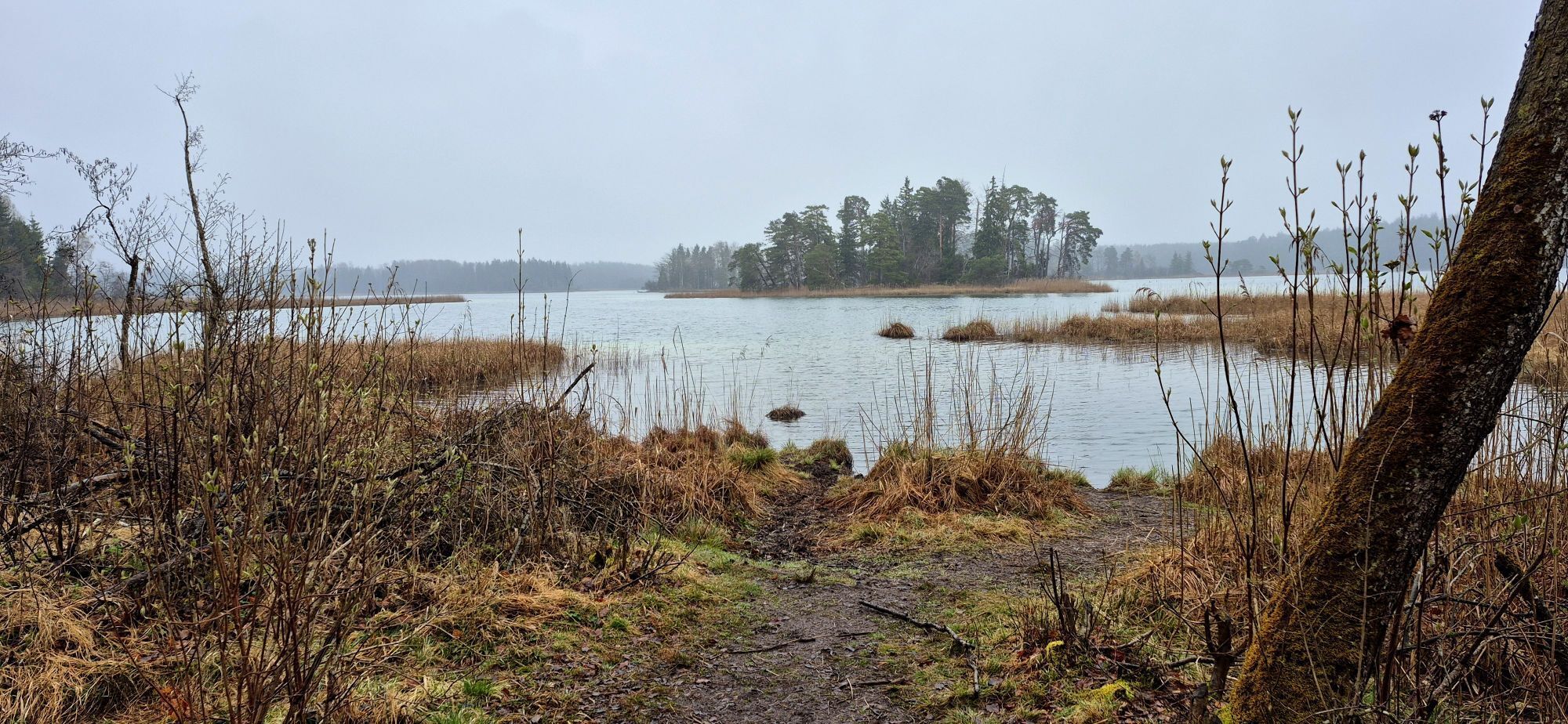
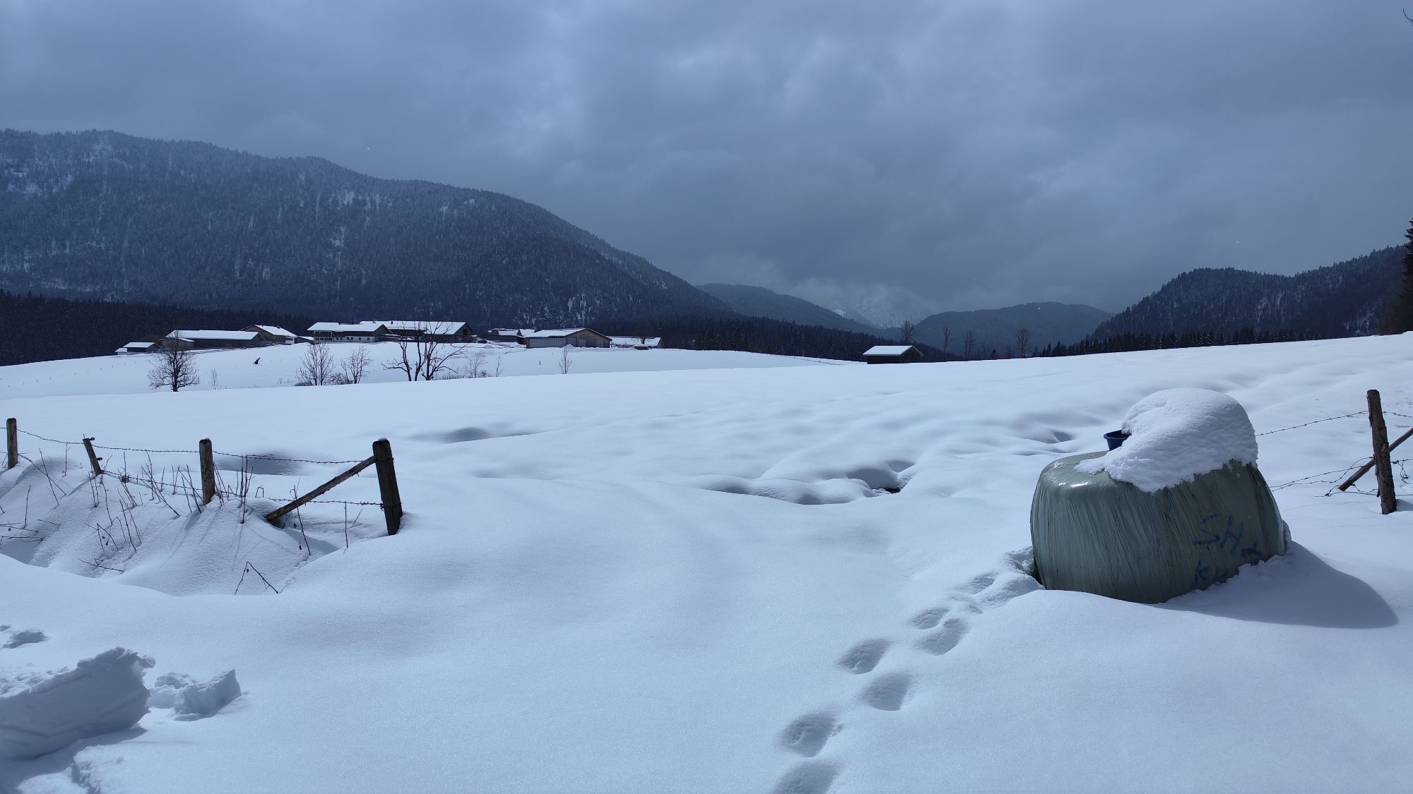
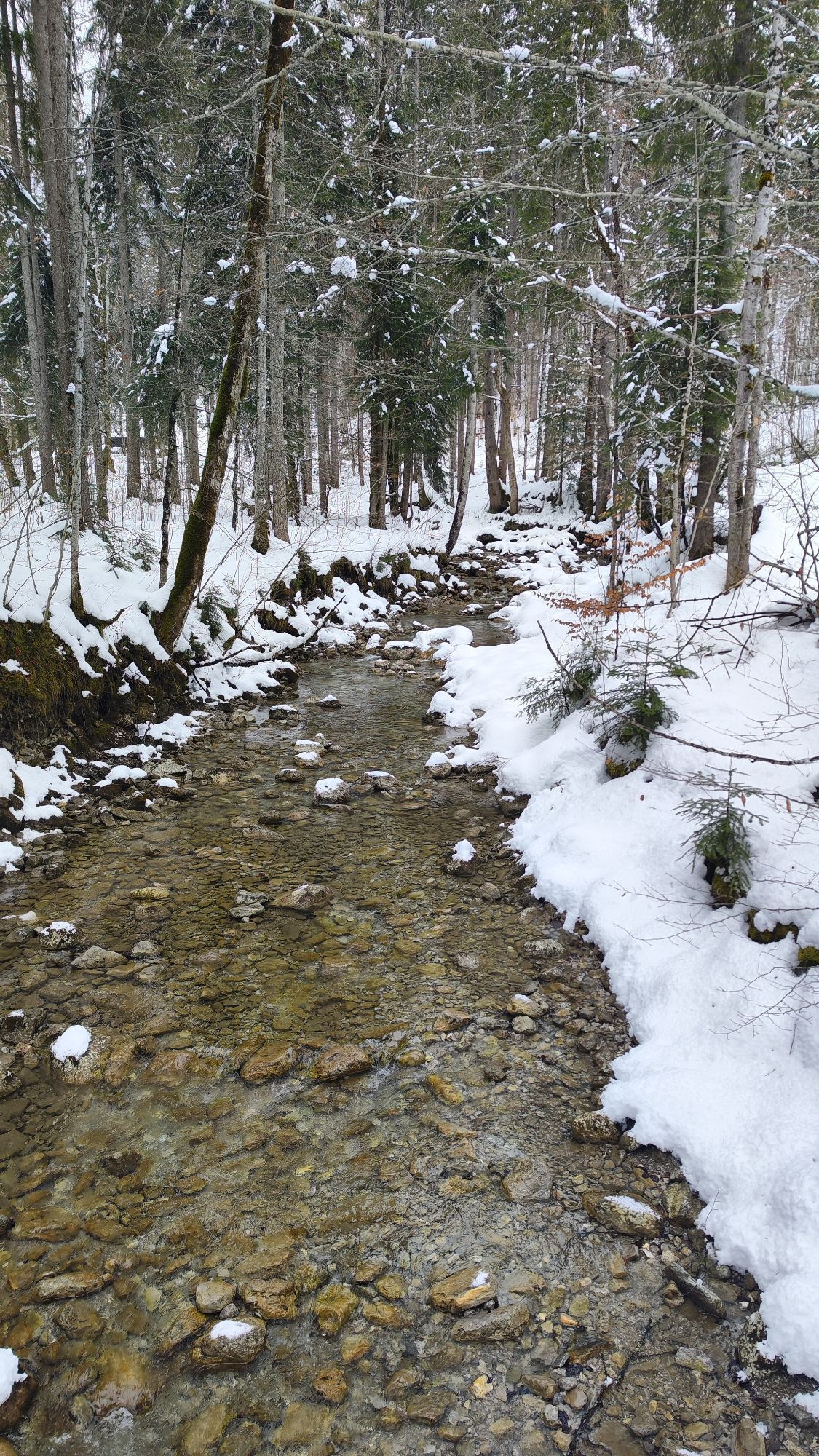
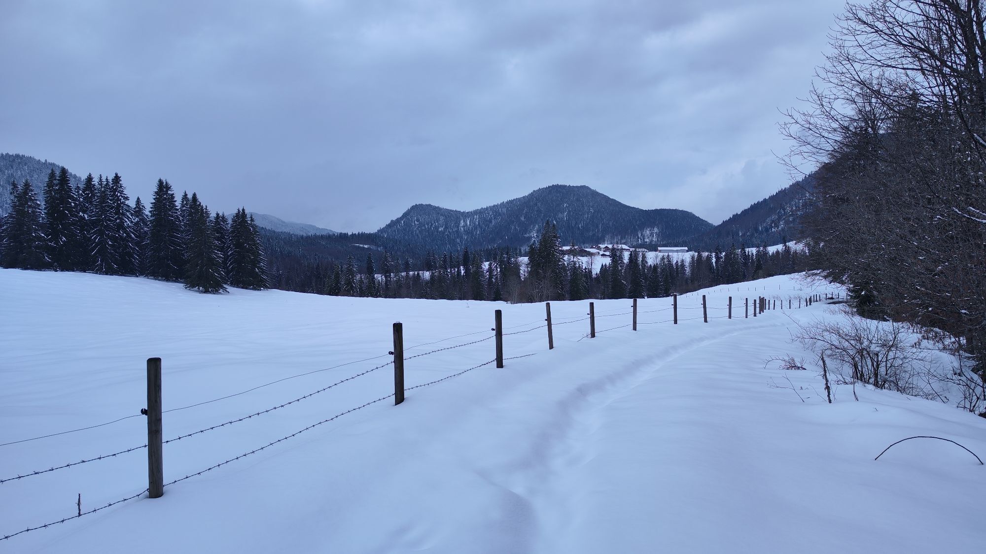
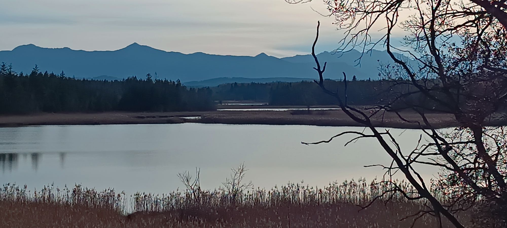
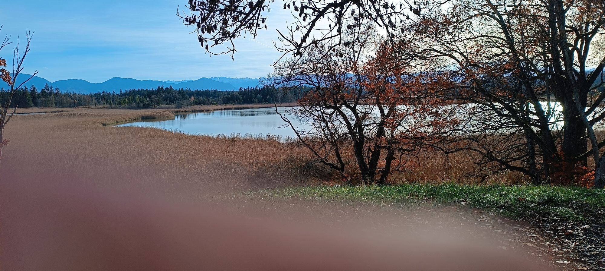
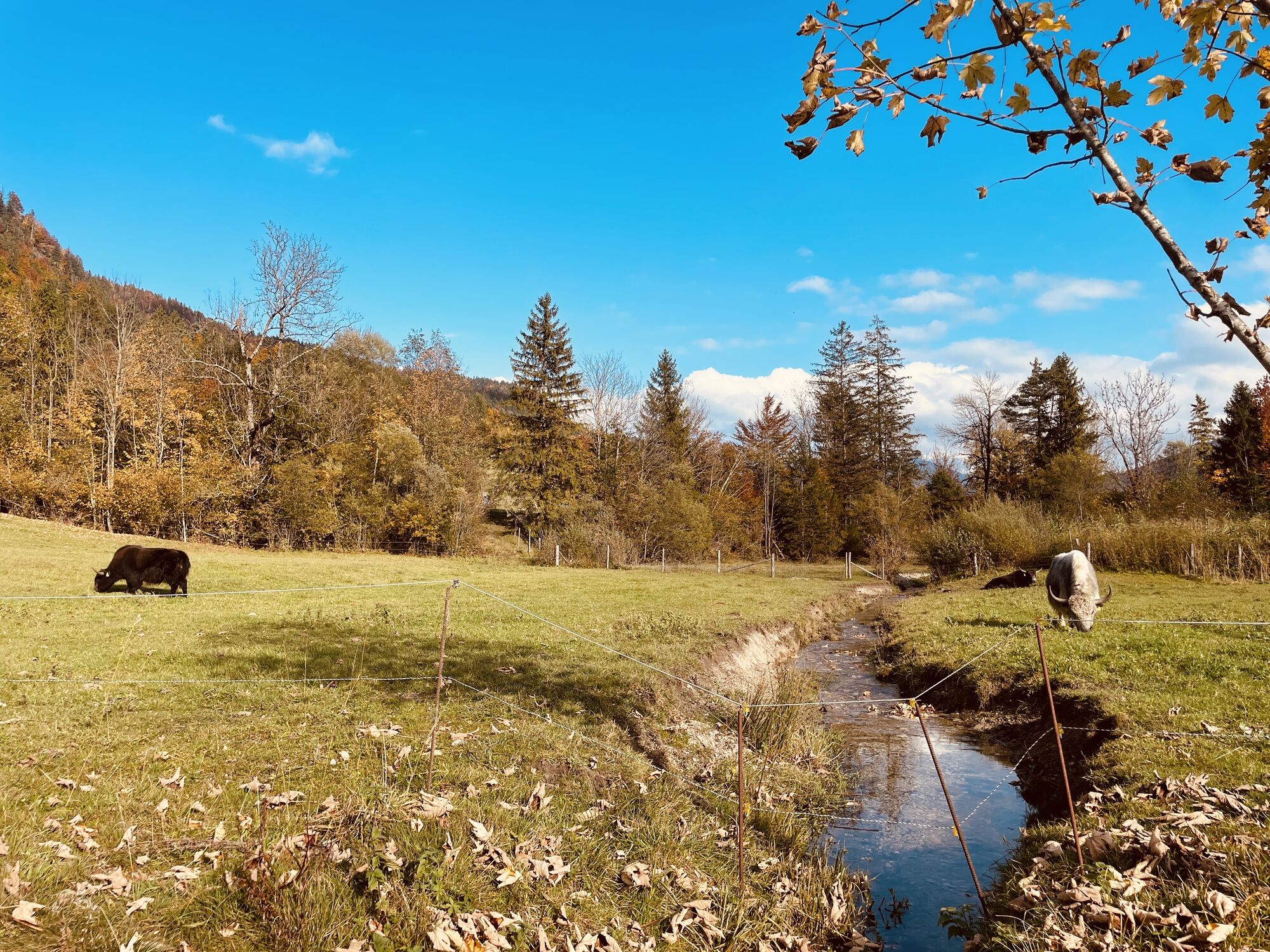
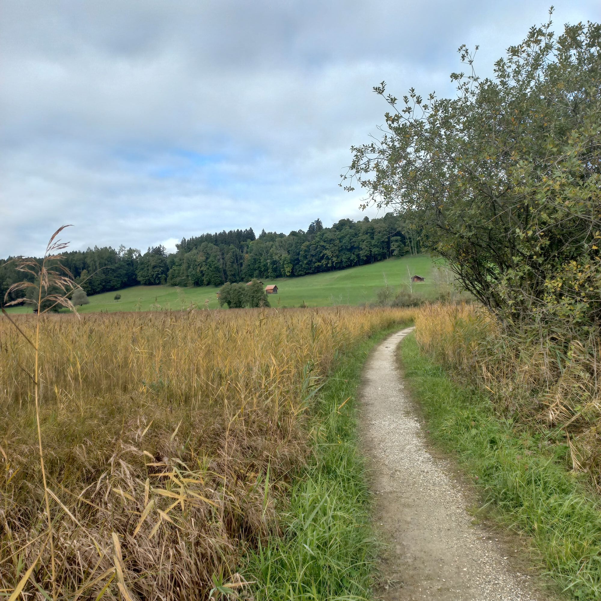
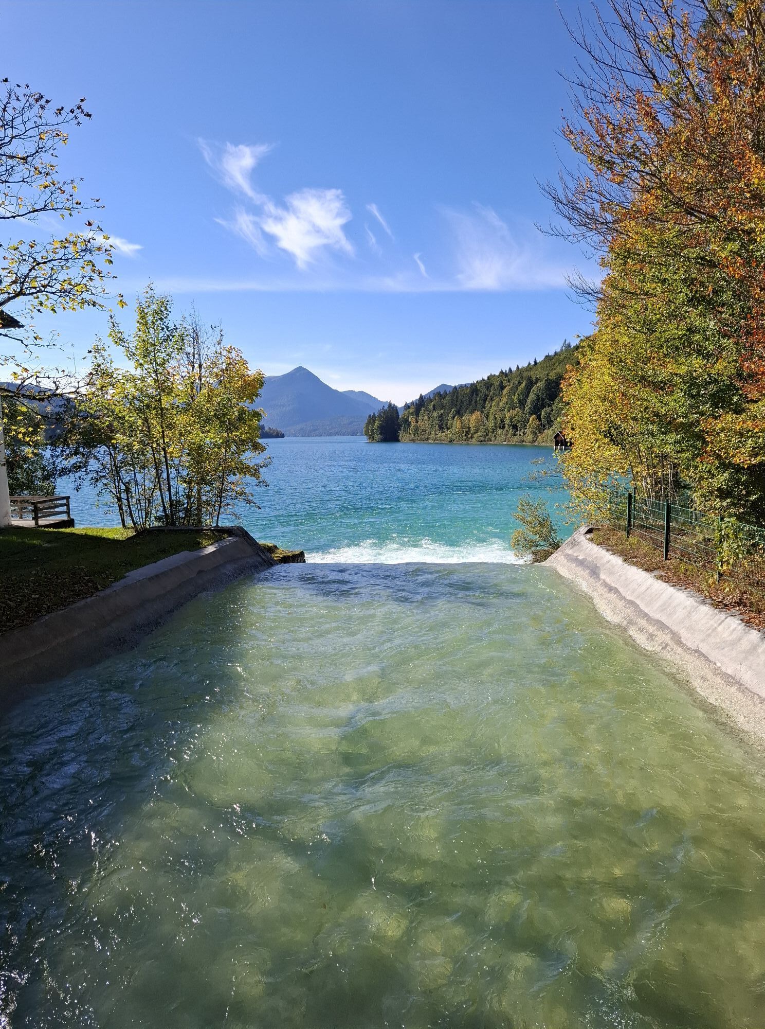
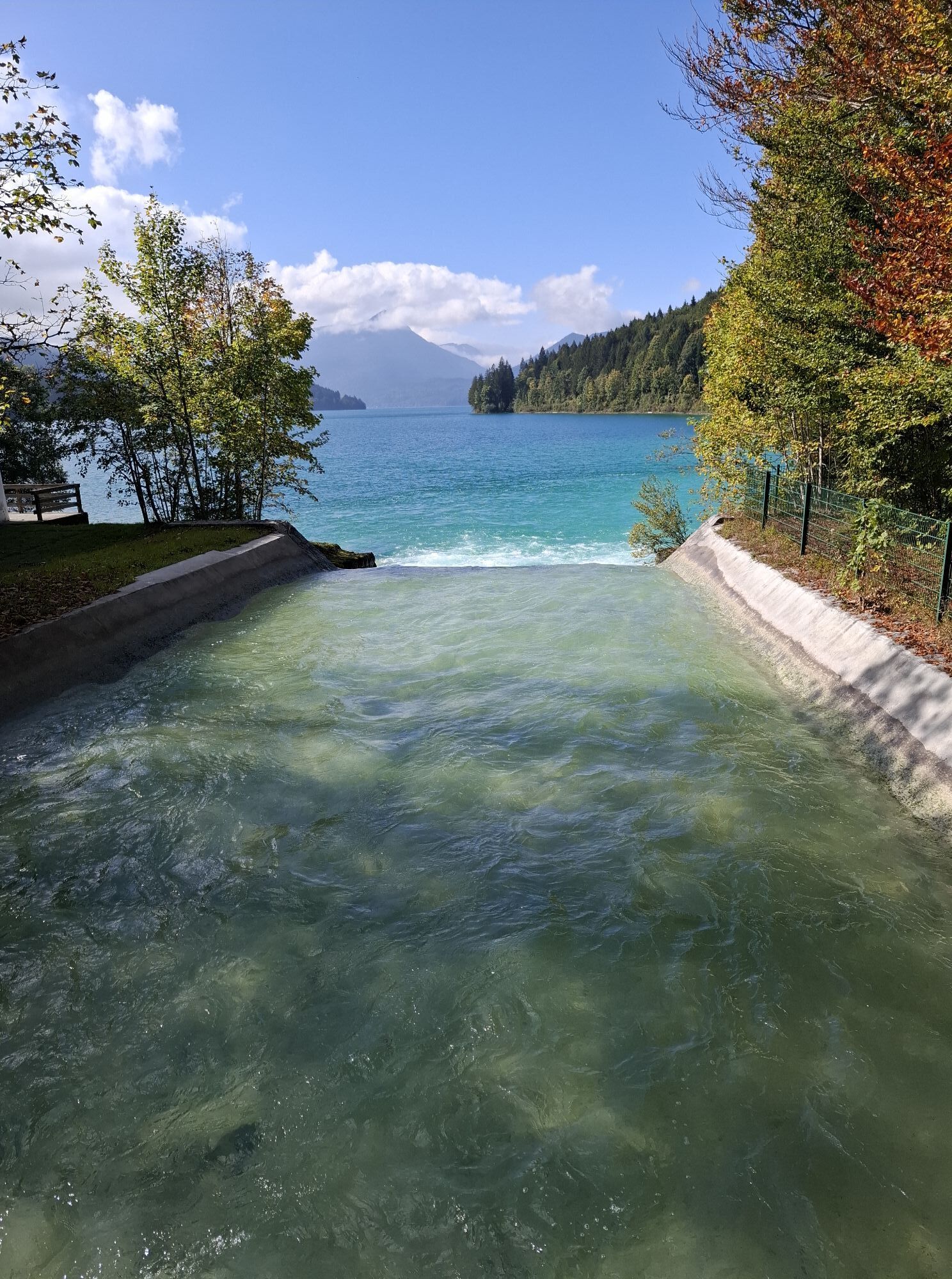
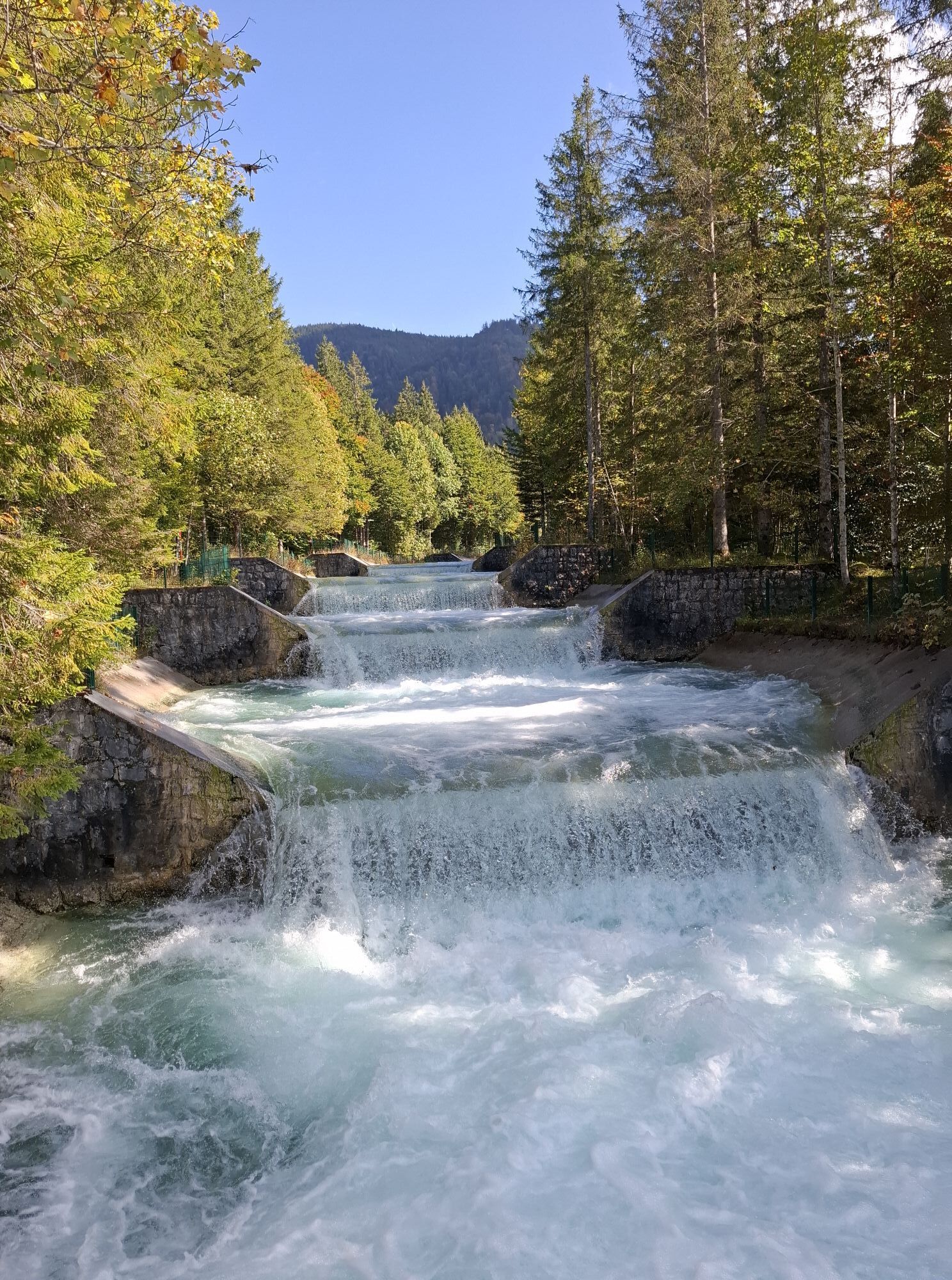
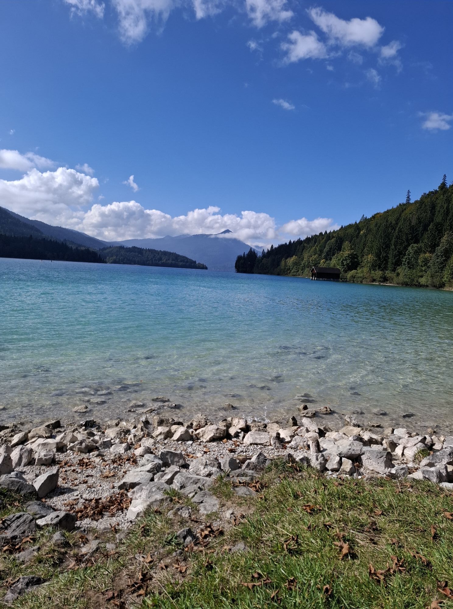
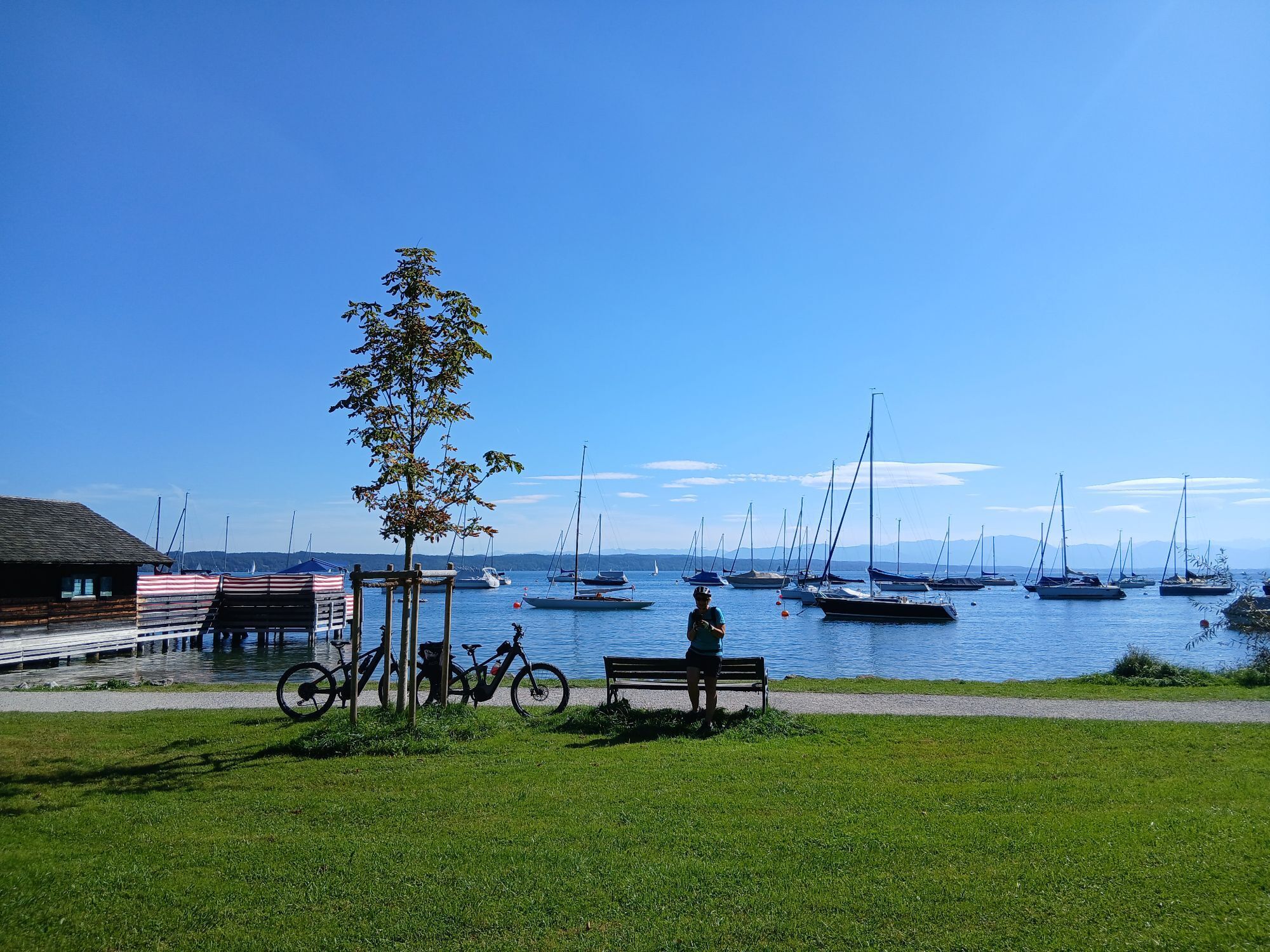
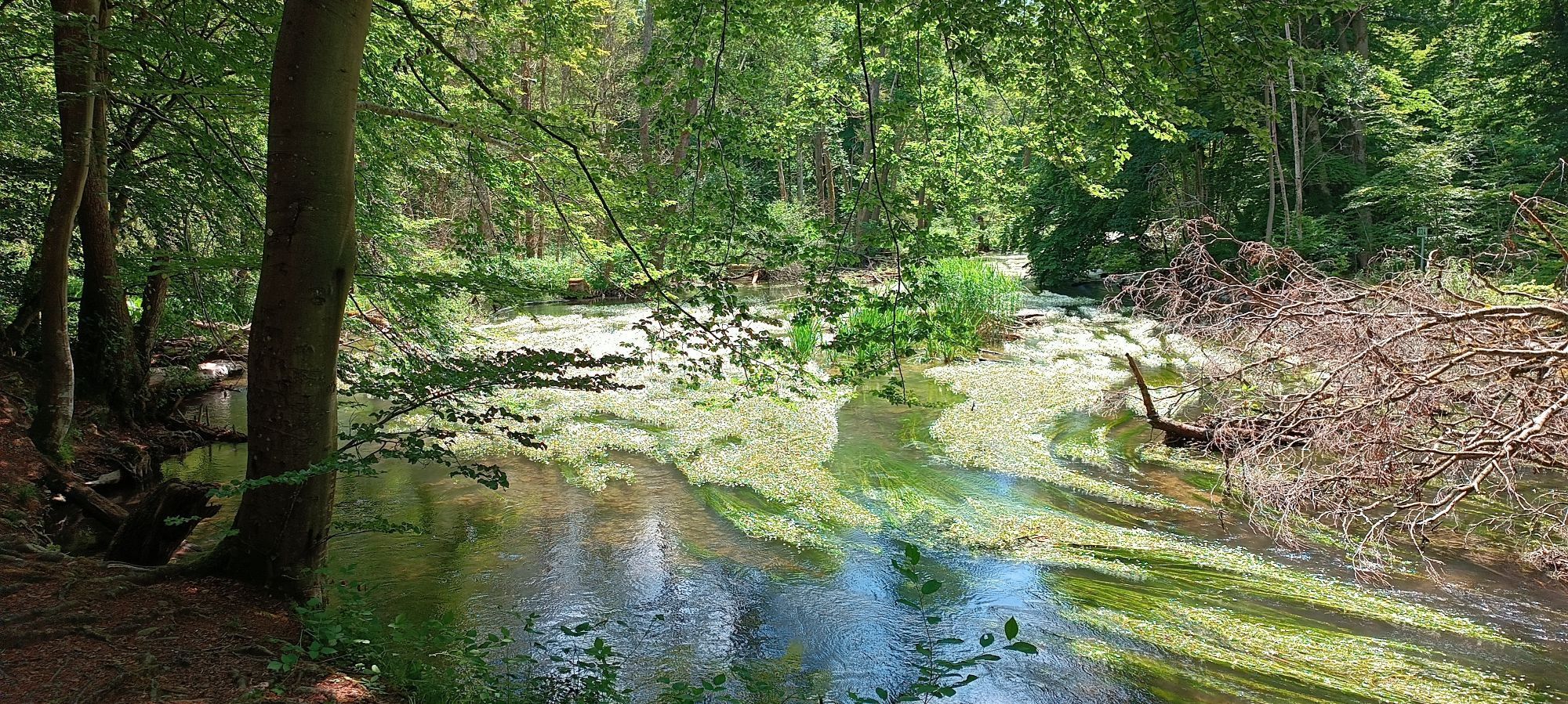
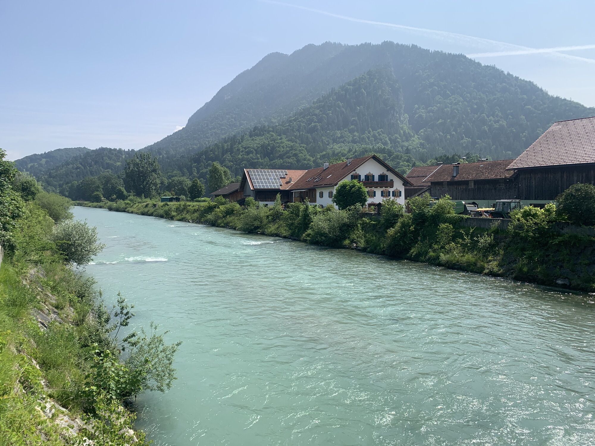
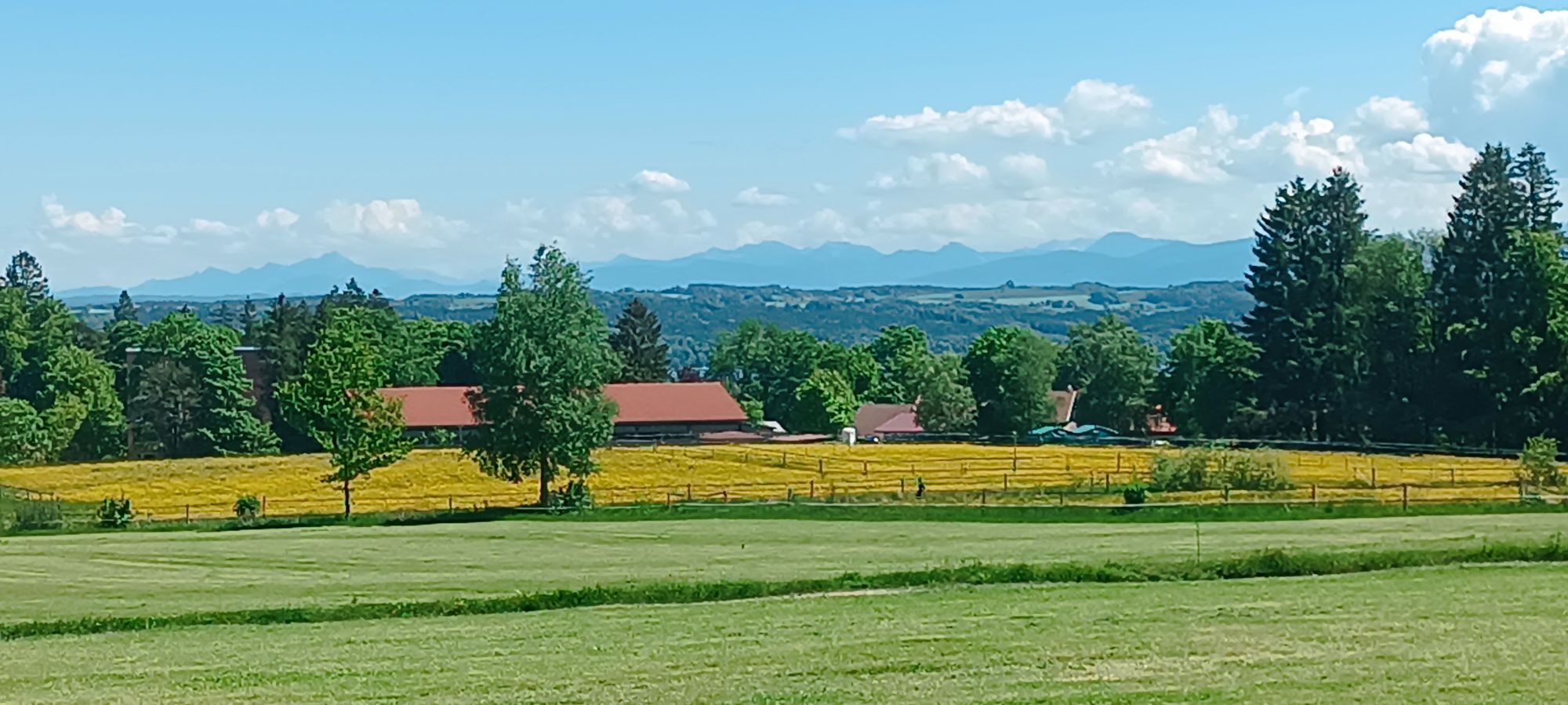
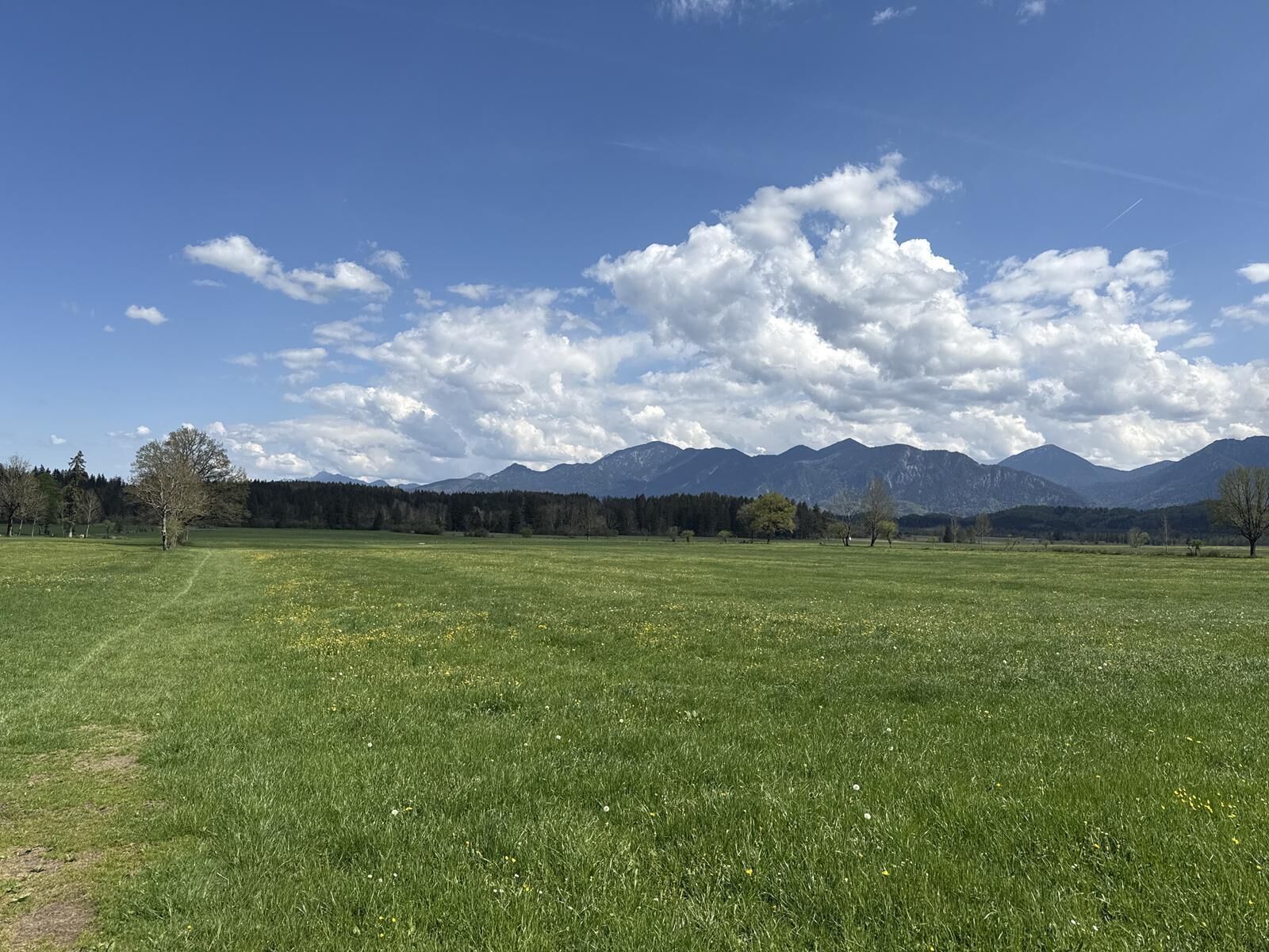
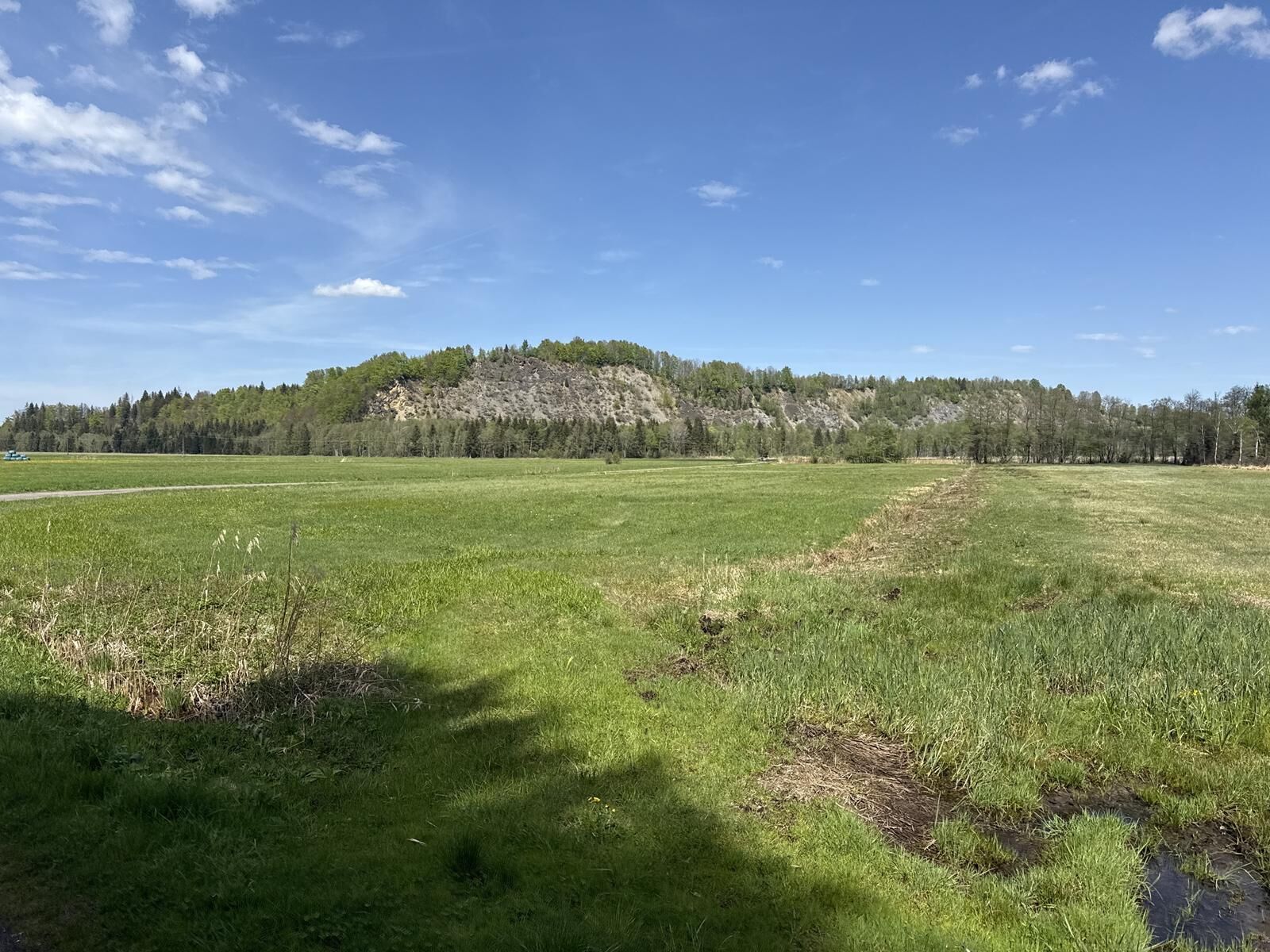
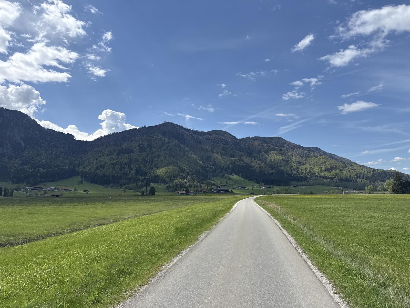
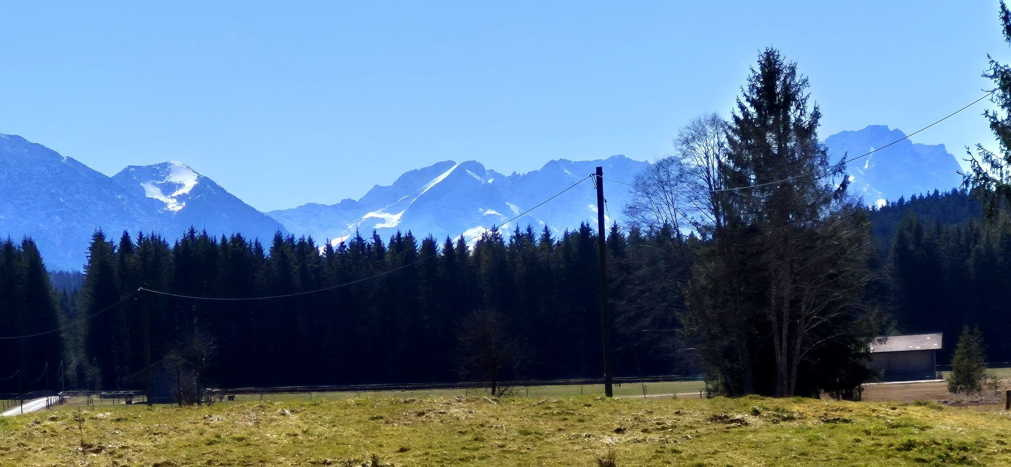
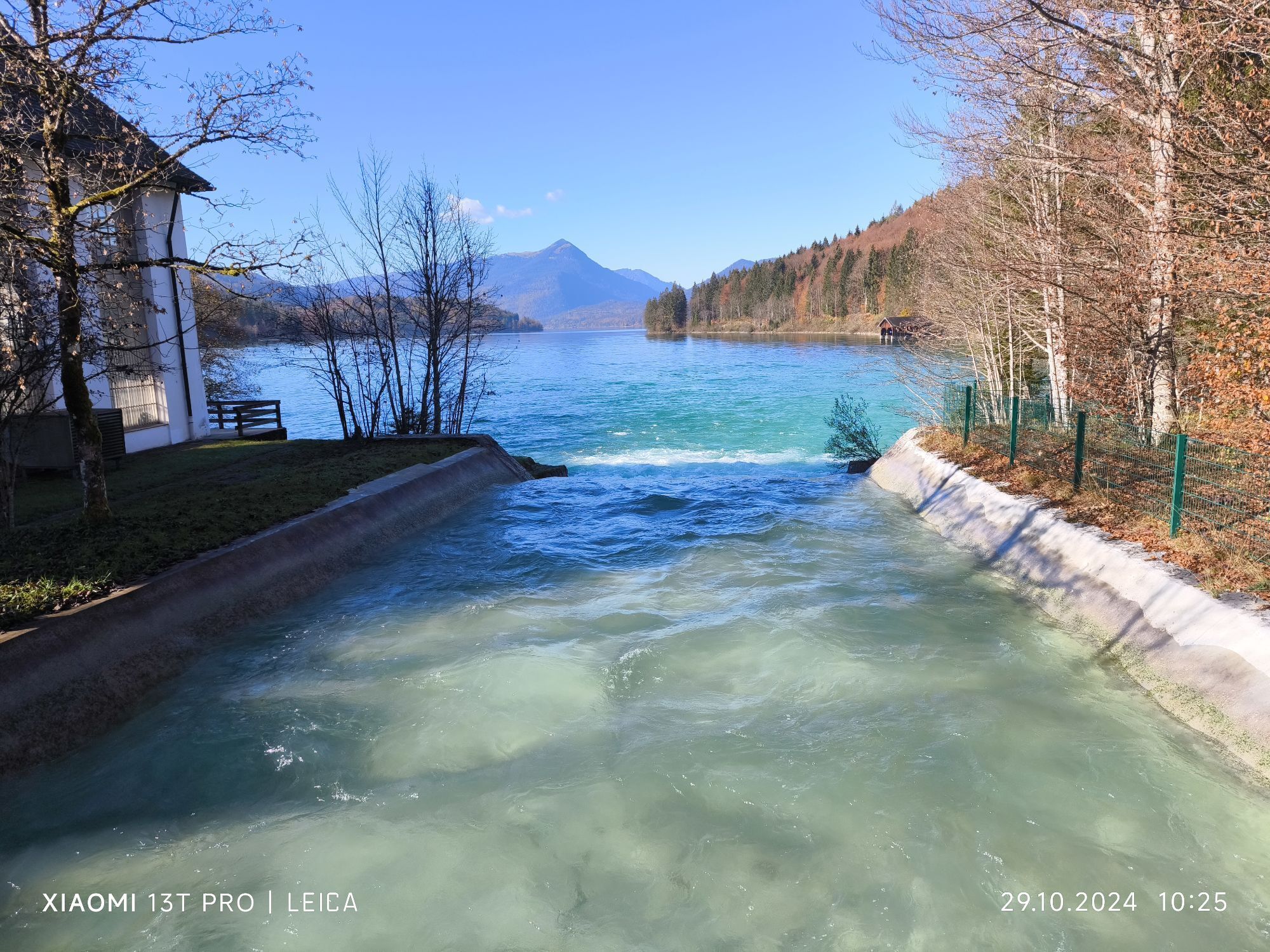
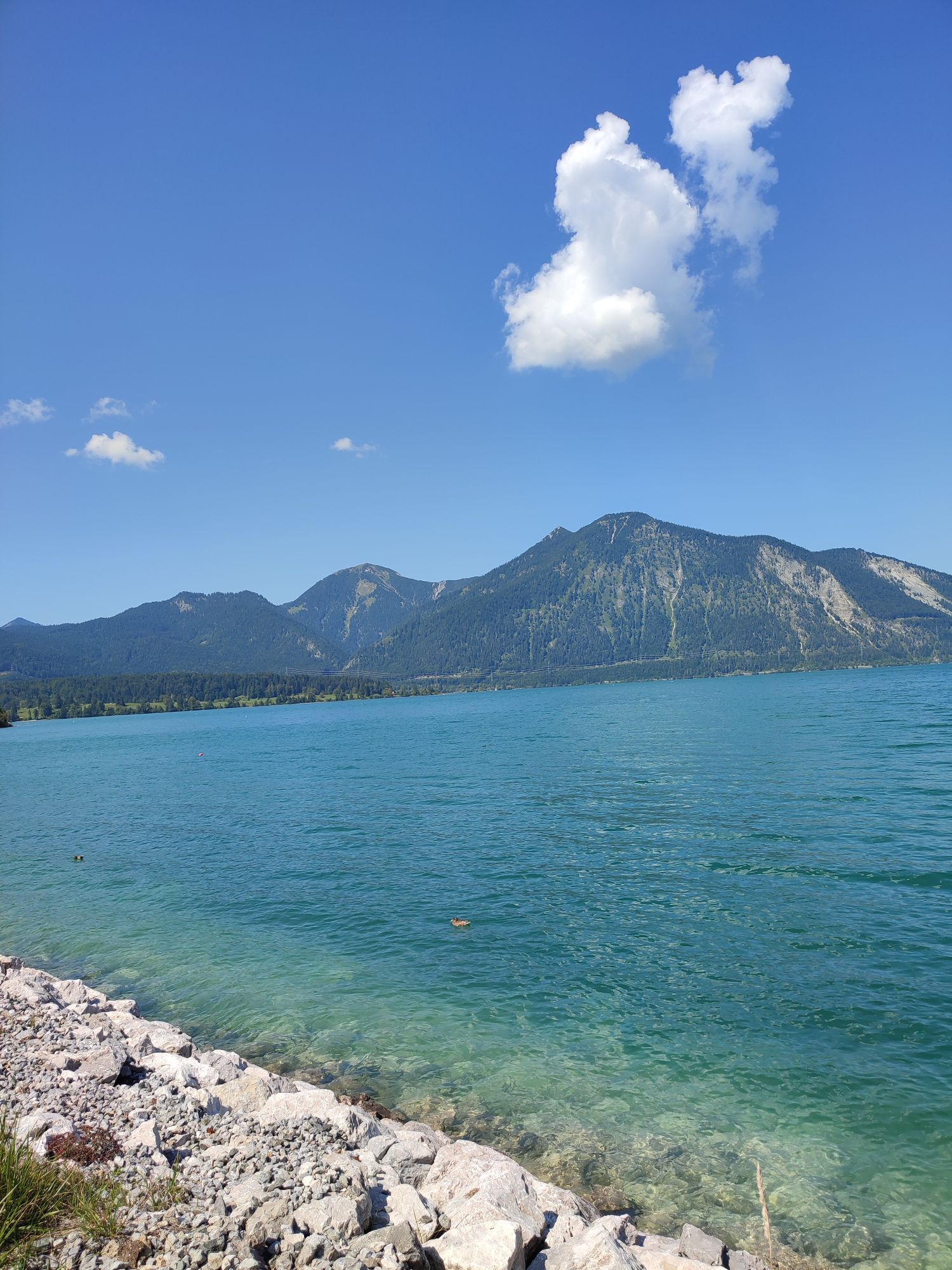
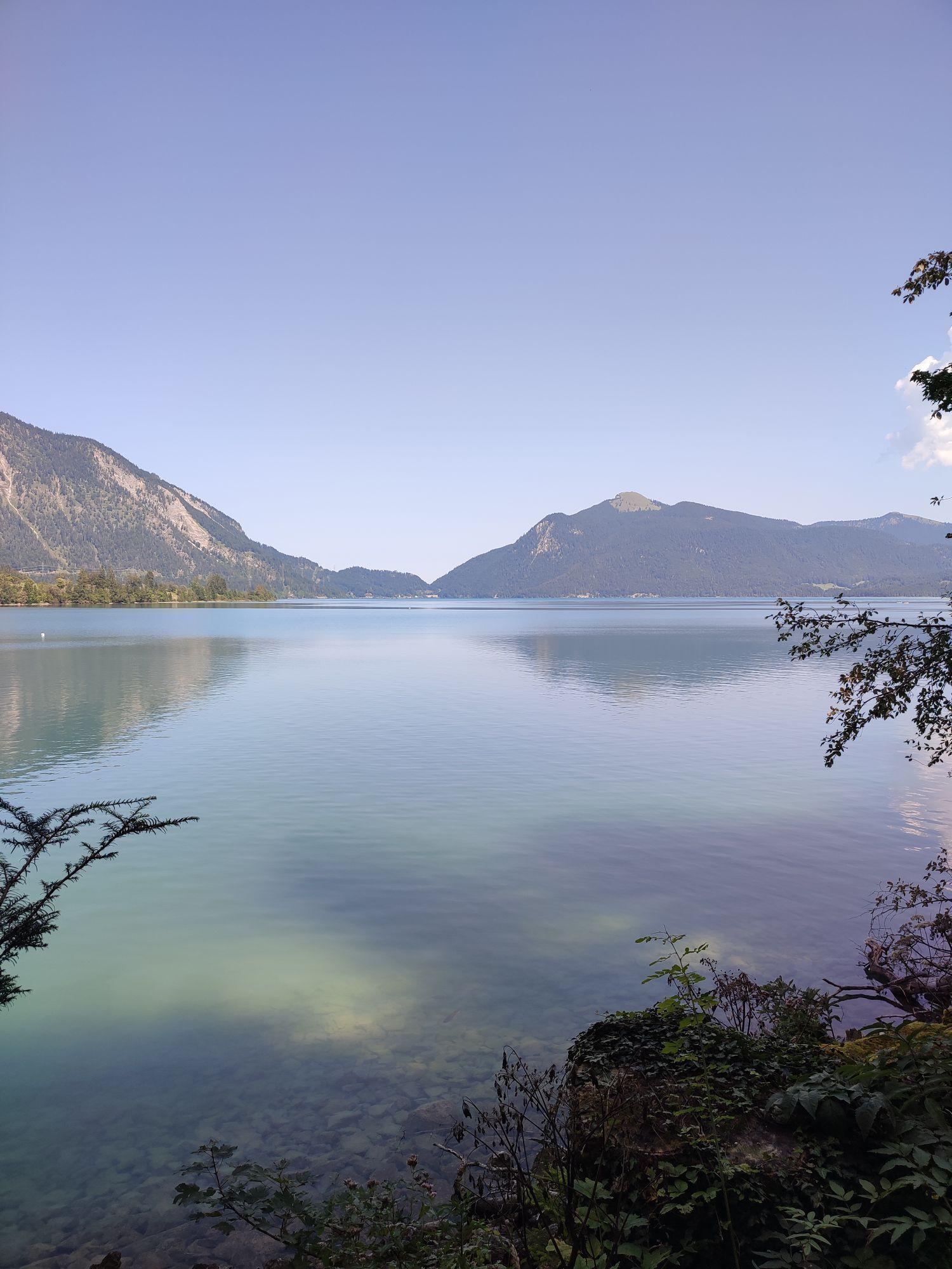
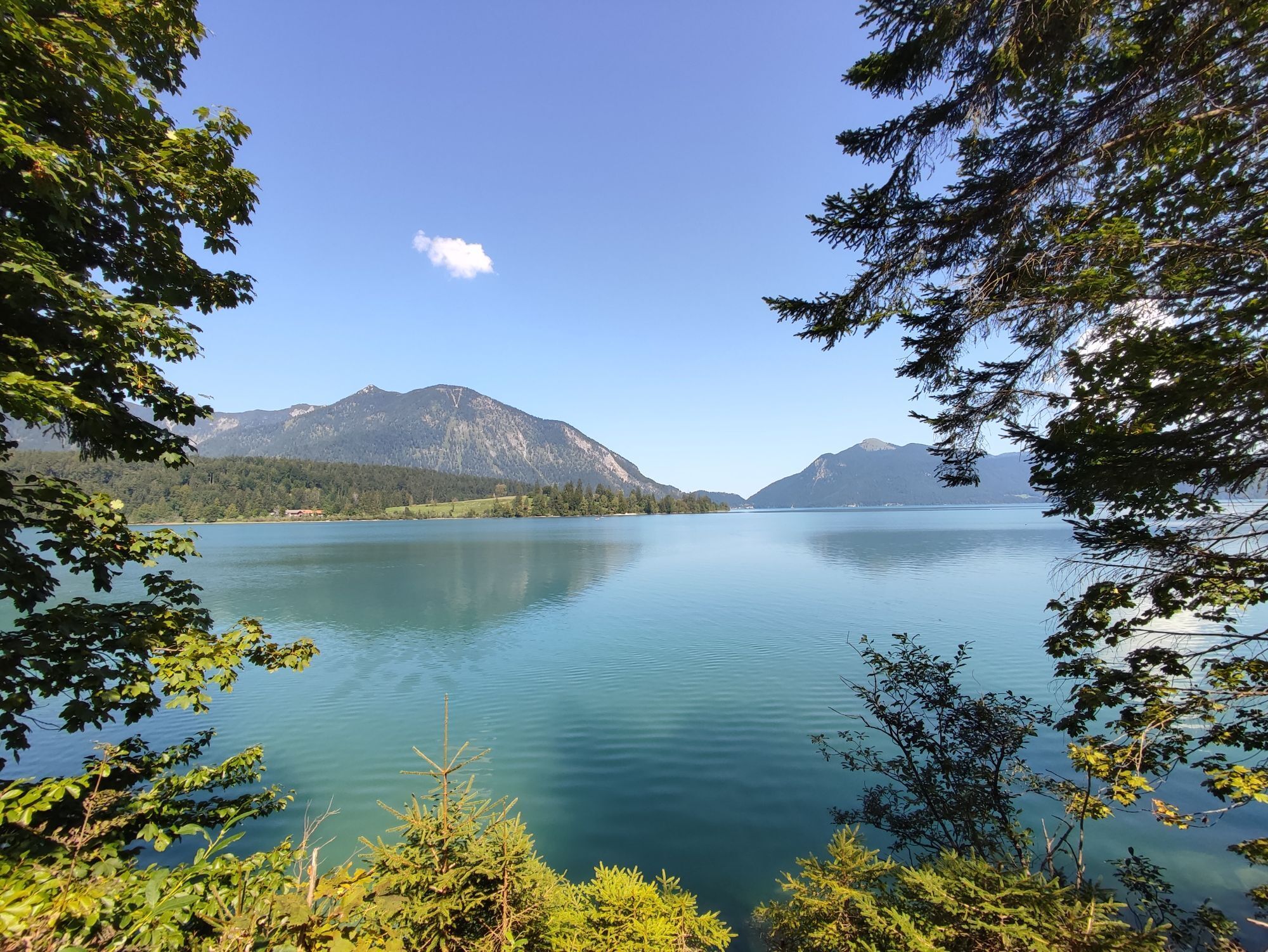
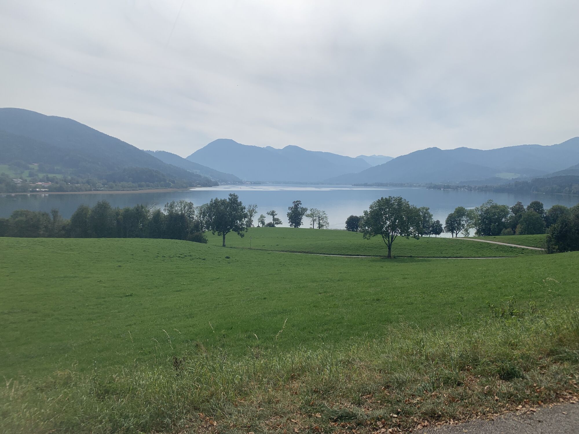
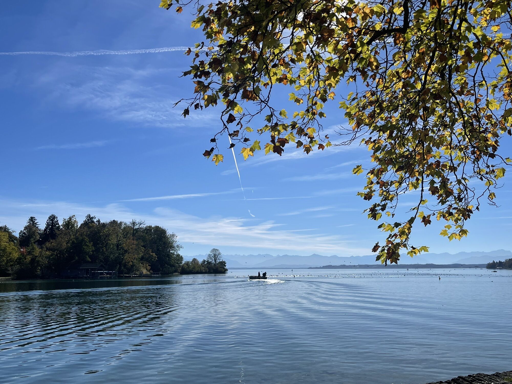
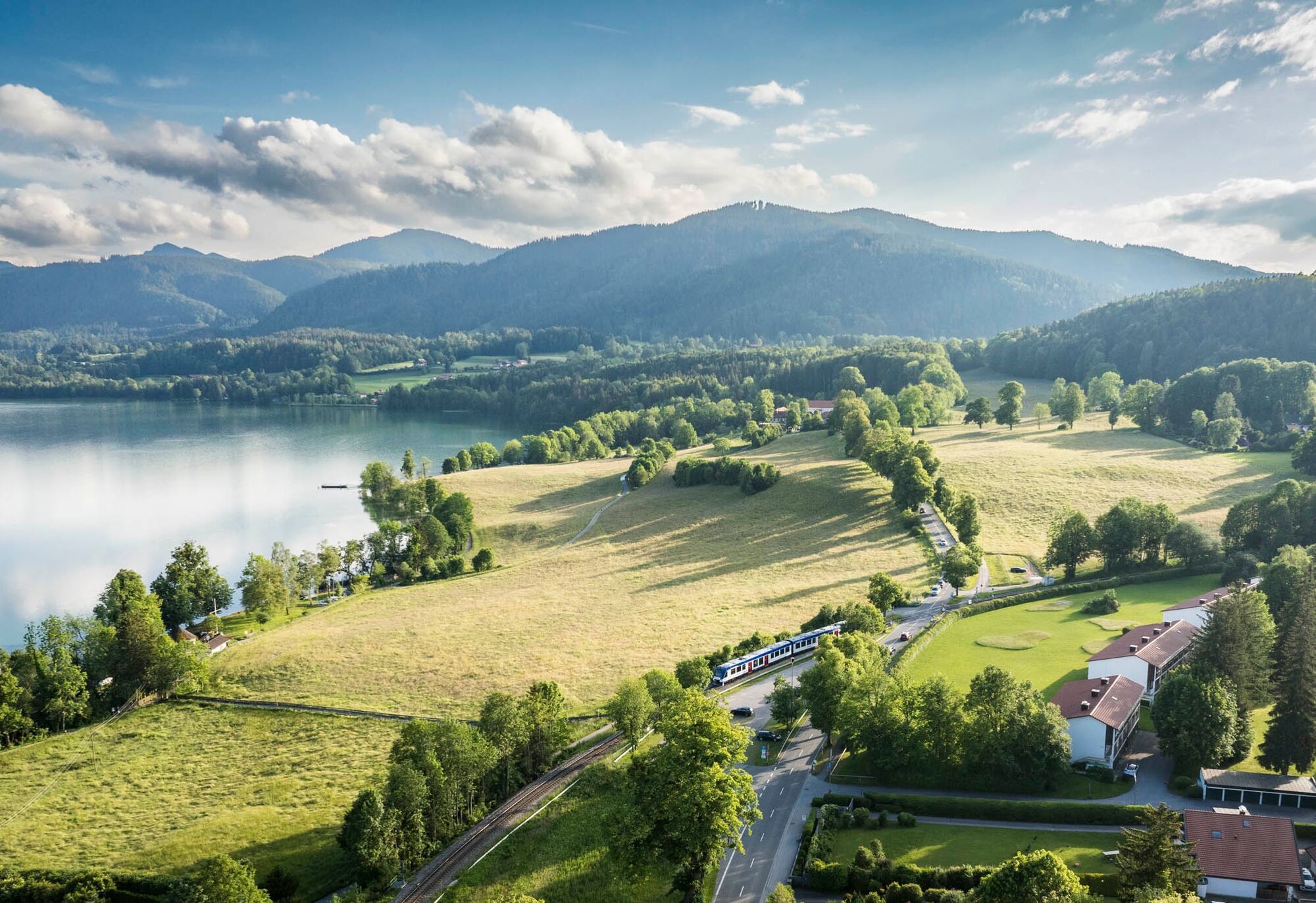
The Wasser-Radlweg Bayern connects the most beautiful river and lake landscapes of southern Bavaria over around 1,200 kilometers. This stage leads through the district of Miesbach to Lake Tegernsee. Mostly on quiet paths, the route initially runs through wide meadows and fields via Holzkirchen and Warngau. Wide views of the Alpine chain open up repeatedly. Behind Warngau, the path gently ascends through the gentle rolling hills of the Miesbach Alpine foothills, past small hamlets and old farms. Shortly before Gmund, the panorama becomes increasingly alpine and Lake Tegernsee comes into view. The route ideally combines cultural and natural experiences: from the agriculturally shaped surroundings to the famous lake landscape inviting to linger and enjoy.
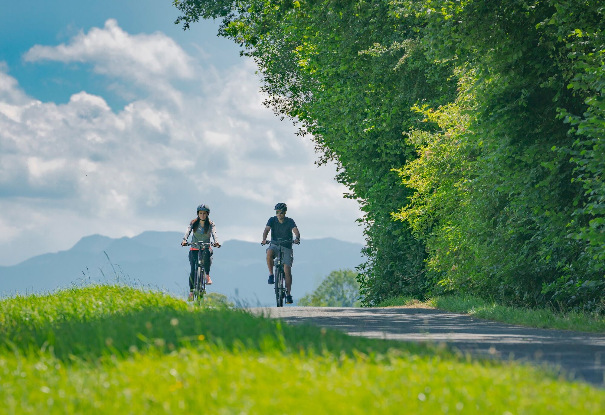
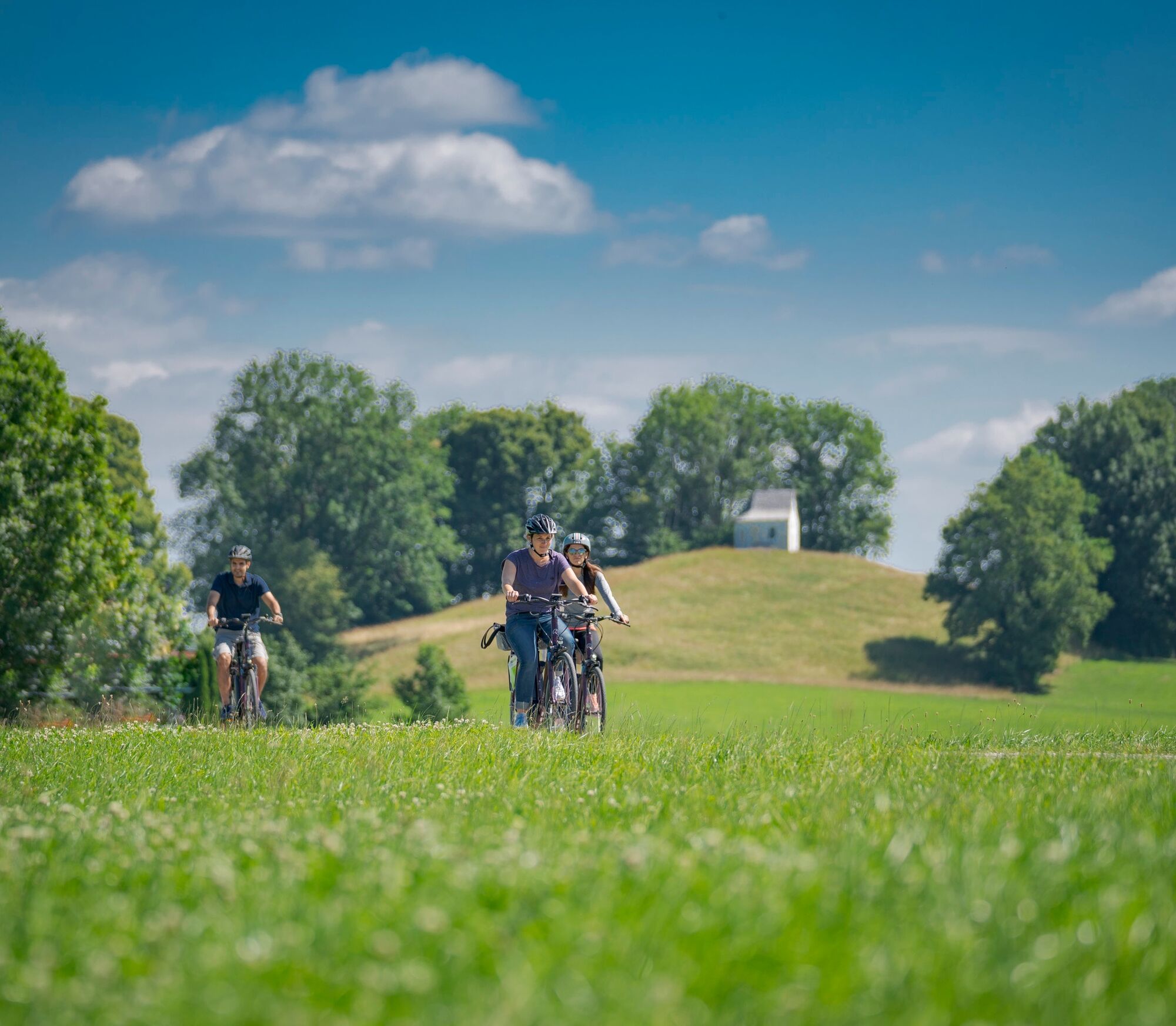
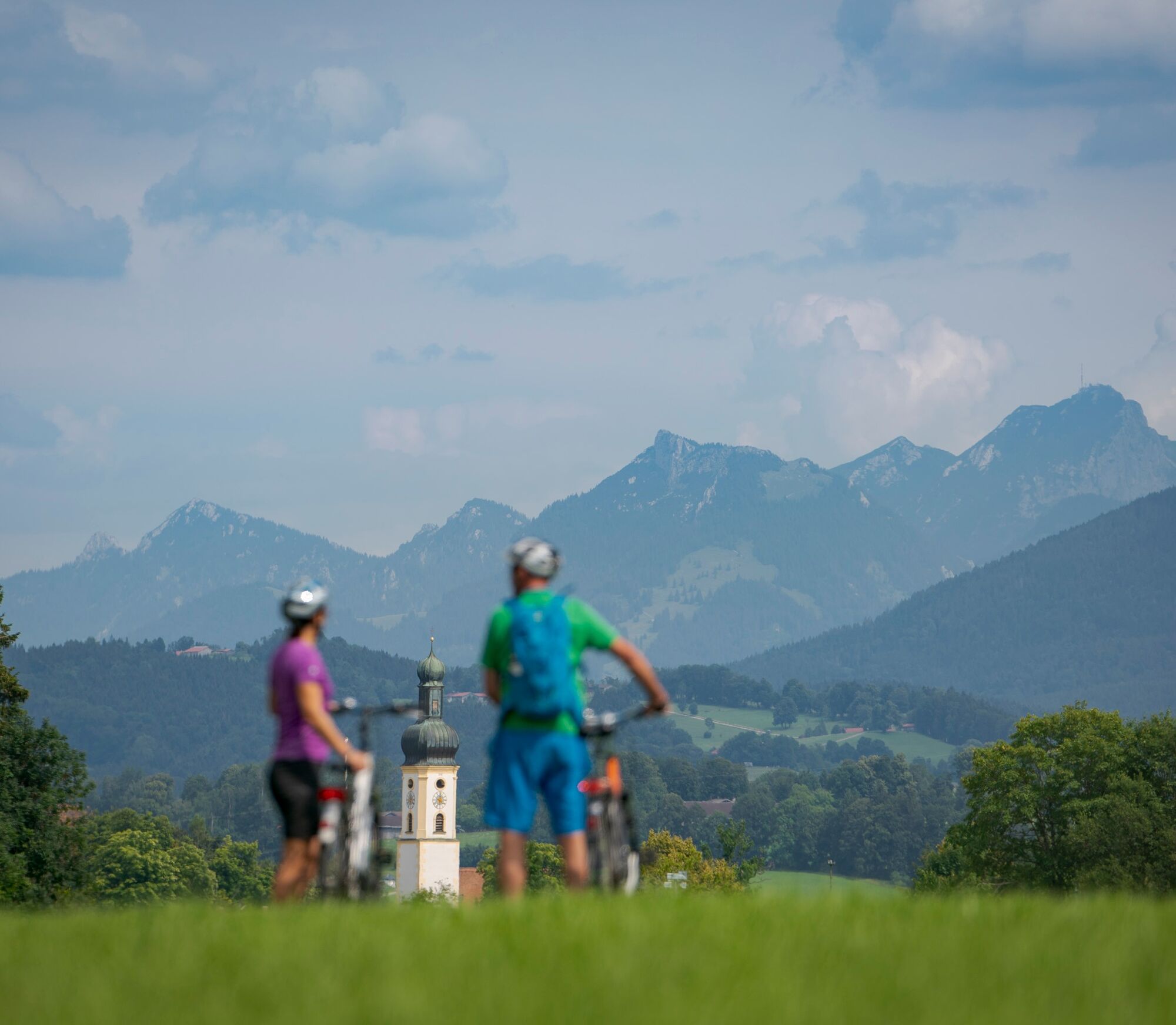
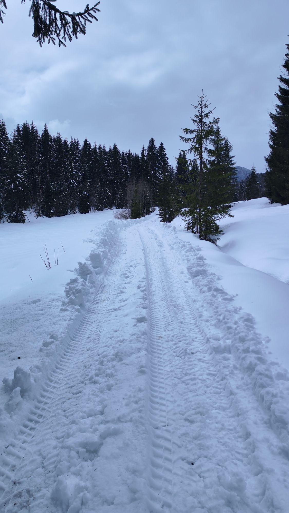
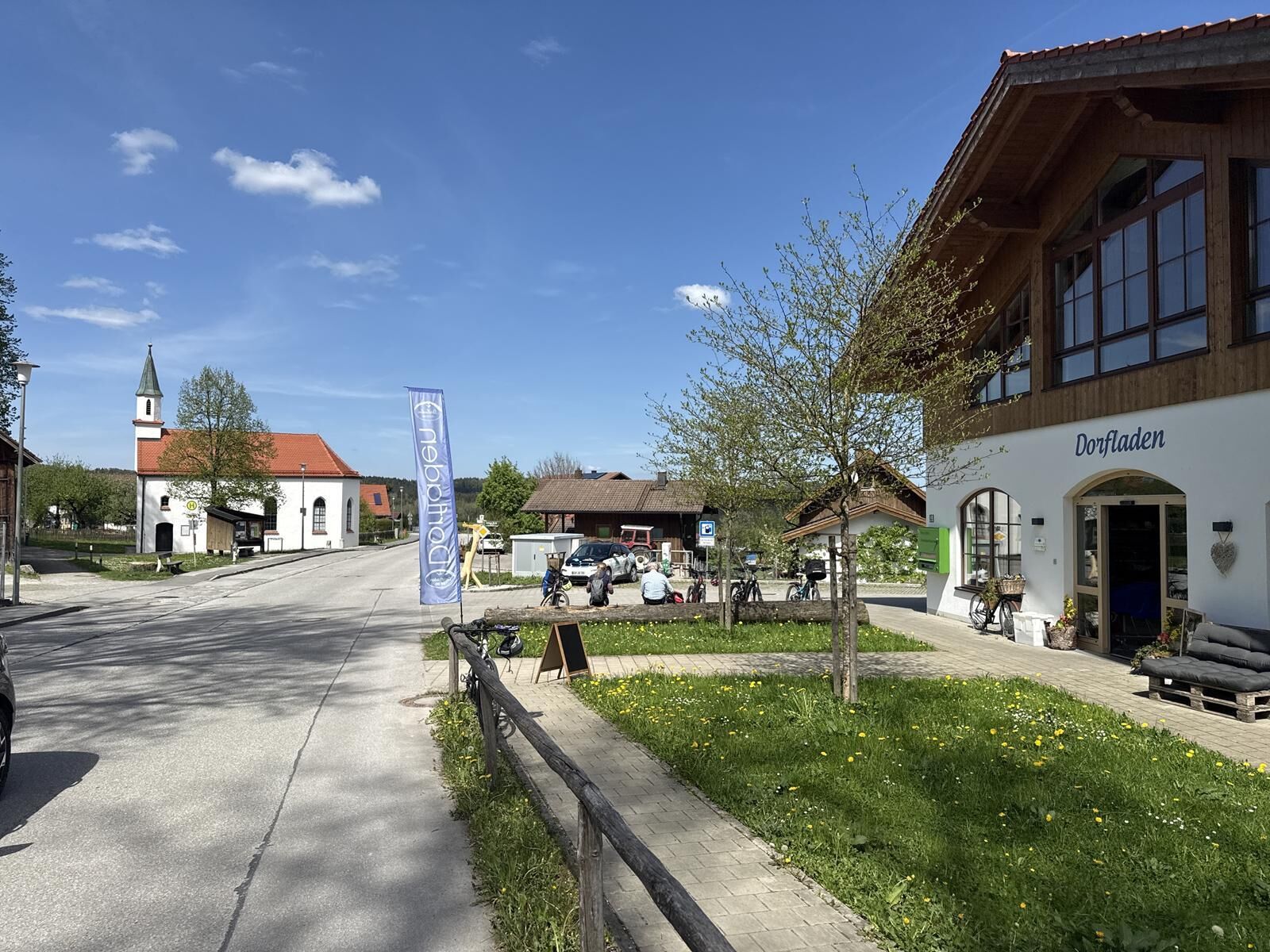
The tour starts in Otterfing and leads along the railway track to Holzkirchen. From there, it continues via Warngau towards the south. The cycle path follows small country roads and paved field paths with moderate inclines. Via Schaftlach, one reaches the Tegernsee valley and rolls down to Gmund.
We recommend a fully functional bike and wearing a bicycle helmet.
All information without guarantee. Walking and cycling on the tours described here is at your own risk.
The tour is part of the long-distance cycle routes Wasser-Radlwege and starts in Munich.
The tour is a stage of the art loop of the Wasser-Radlwege Oberbayern.
All information about the Wasser-Radlwege Oberbayern can be found at Wasser-Radlwege Oberbayern.
More information about the region, long-distance cycle routes, and accommodations along the route can be found at Alpenregion Tegernsee Schliersee - Long-distance cycle routes.
Kamery internetowe z trasy
Brauneck - Draxlhang
Streidlhang
Ödberg Talstation
Laber Bergbahn - Bergstation
Laber Bergbahn - Bergstation
Jachenau - Gasthof Jachenau
Wallgau Golfplatz
Herzogstand / Fahrenbergkopf
Tegernsee
München
Murnau am Staffelsee
Herzogstand / Fahrenbergkopf
Garmisch-Partenkirchen - Panoramaberg Wank
Kochel am See
Urfeld am Walchensee
Krün - Hotel Kranzbach
Oberau
Alpen-Caravanpark Tennsee
Bergstation Brauneck
Blomberg
Bergstation Brauneck
Blomberg
Blomberg
Blomberg
Herzogstand
Herzogstand
Herzogstand
Herzogstand
Herzogstand
Herzogstand
Tutzing am See - Nordbad
Sonnenbichl Bergstation
Alpenwelt Karwendel - Wallgau Maxhütte
Alpenwelt Karwendel - Krün
Alpenwelt Karwendel - Mittenwald Kranzbergbahn
Garmisch - Kandahar Lodge
Garmisch-Partenkirchen - Rathaus
Garmisch-Partenkirchen - Olympiaschanze
Garmisch-Partenkirchen - Festsaal
Berg am Starnberger See
Popularne wycieczki w okolicy
- 3,7
Benediktenwand (1801 m)
Wędrówka 23,0 km - 4,6
Brauneck zum Latschenkopf Rundweg
średniWędrówka 6,30 km - 4,3
Heiglkopf-Blomberg-Zwiesl Wackersberg, Bayern
światłoWędrówka 12,6 km - 4,5
Sonntraten
światłoWędrówka 5,03 km - 4,2
Auf dem Wildbachlehrpfad durchs Lainbachtal (Rundweg 8)
Wędrówka 8,78 km - 3,4
Wanderung auf Brauneck
światłoWędrówka zimą 12,0 km - 4,8
Moosrundweg 1 durchs Loisach-Kochelsee-Moor
Wędrówka 9,70 km - 5,0
Benediktenwand - Rundtour
średniWędrówka 17,6 km - 4,7
Rabenkopf
średniWędrówka 14,6 km - 2,5
Panoramaweg
Wędrówka 7,10 km
Wędrówki i tropienie


Nie przegap ofert i inspiracji na następne wakacje
Twój adres e-mail została dodana do listy mailingowej.