






Around Pfronten

Poziom trudności: 2
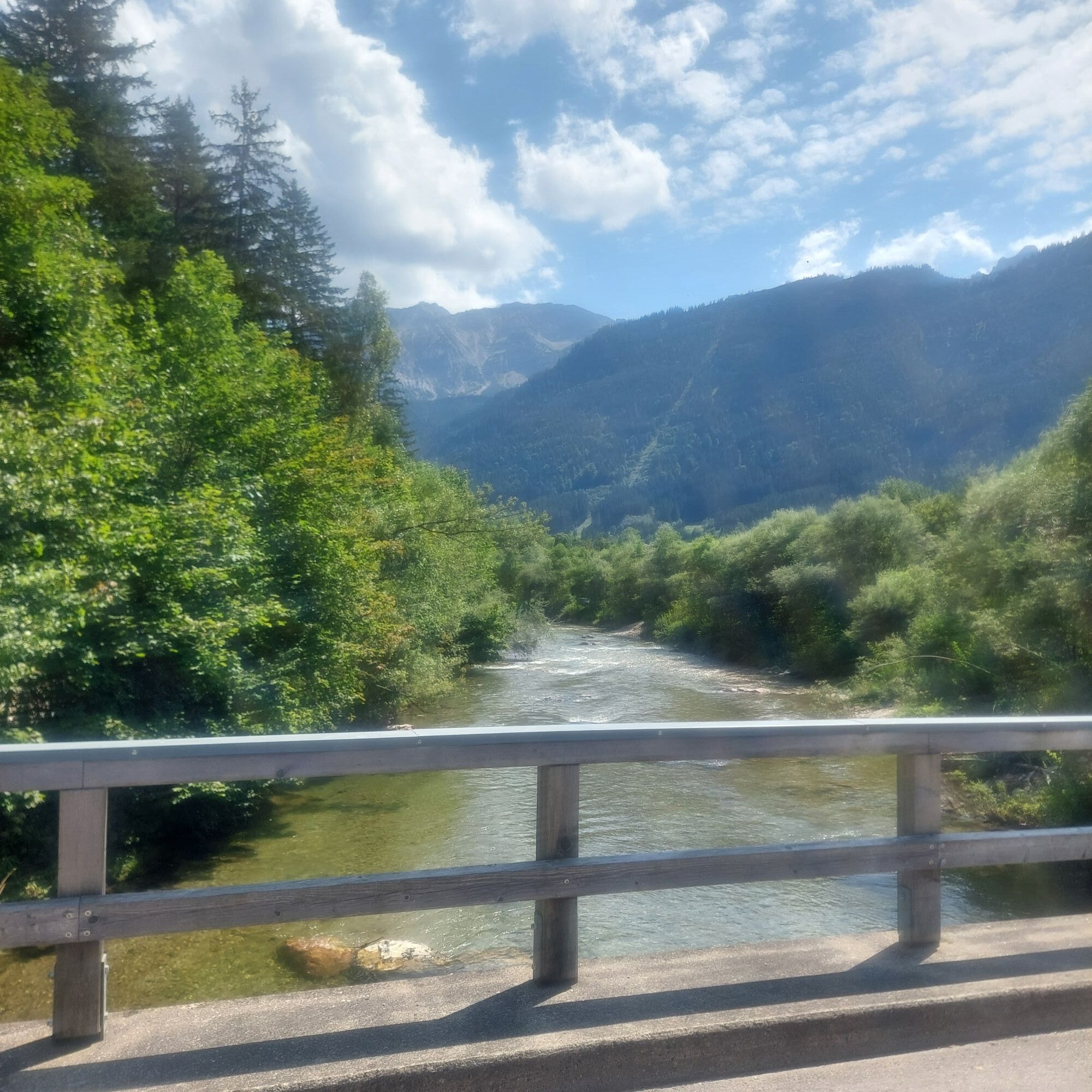
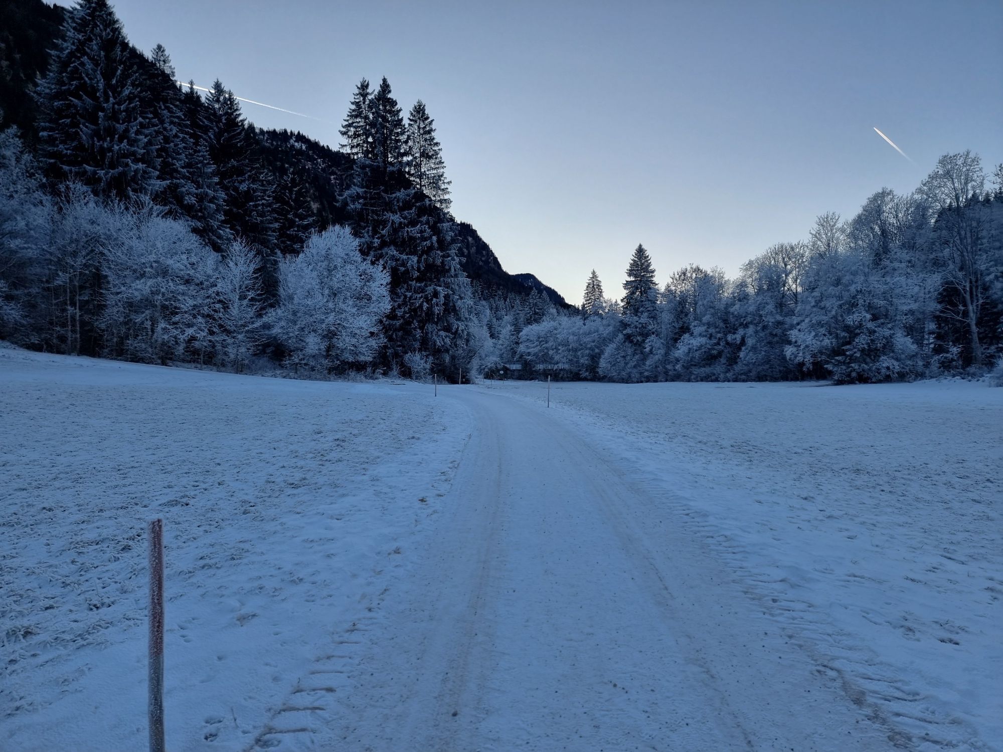
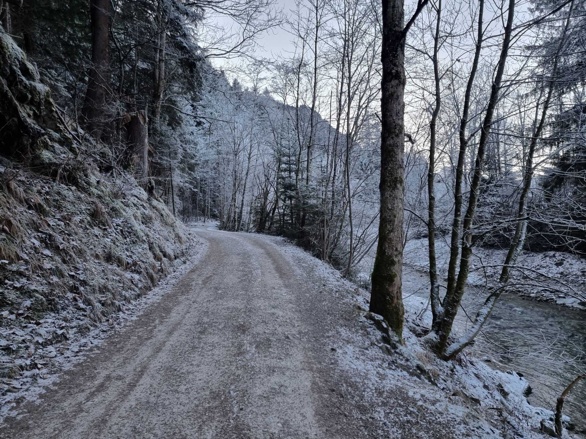
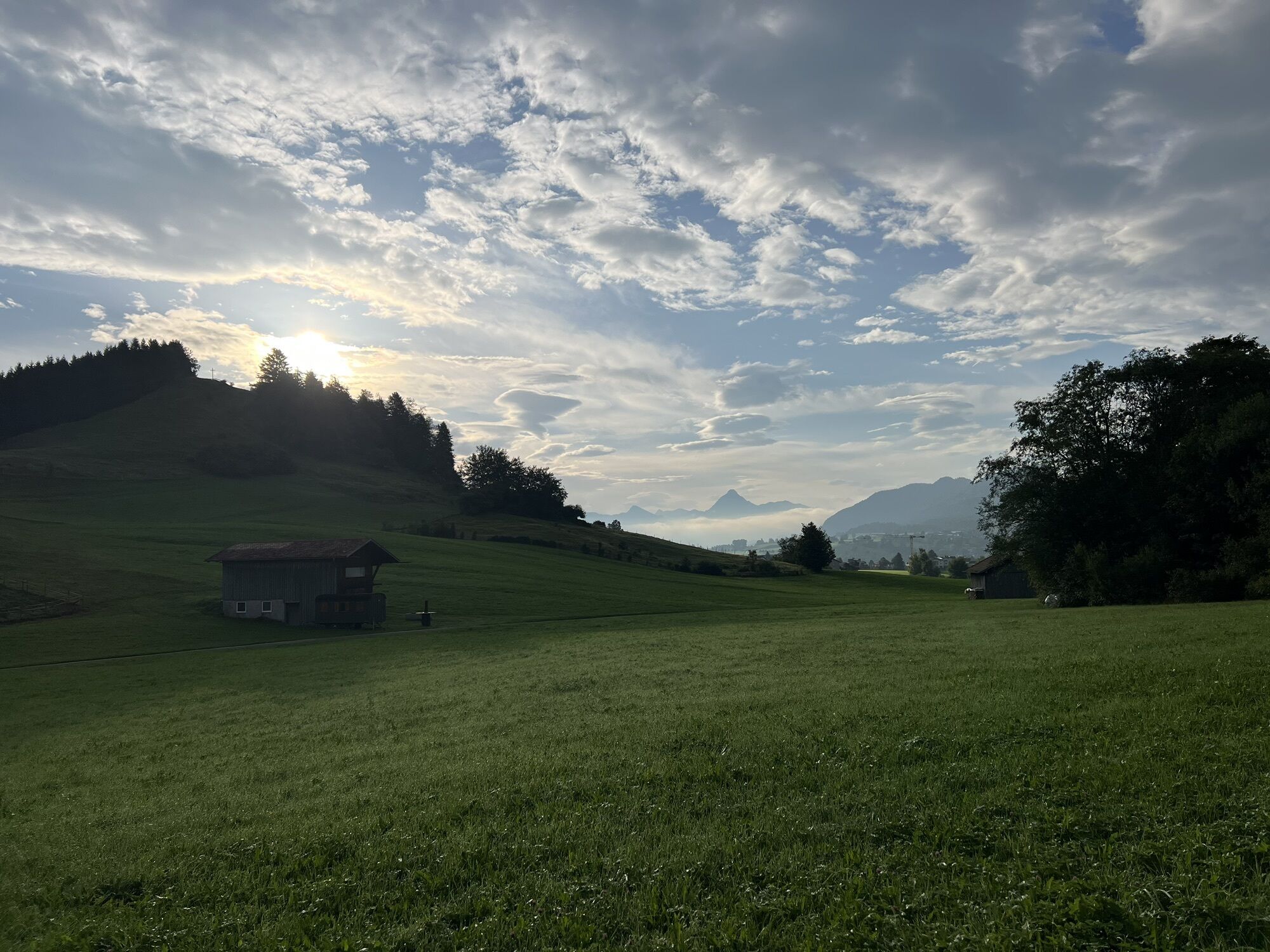
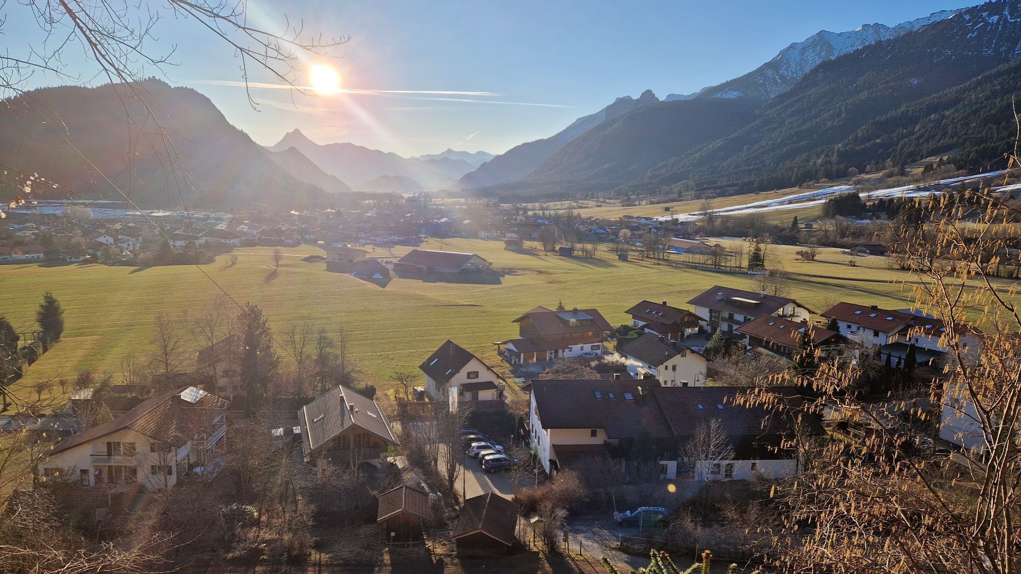
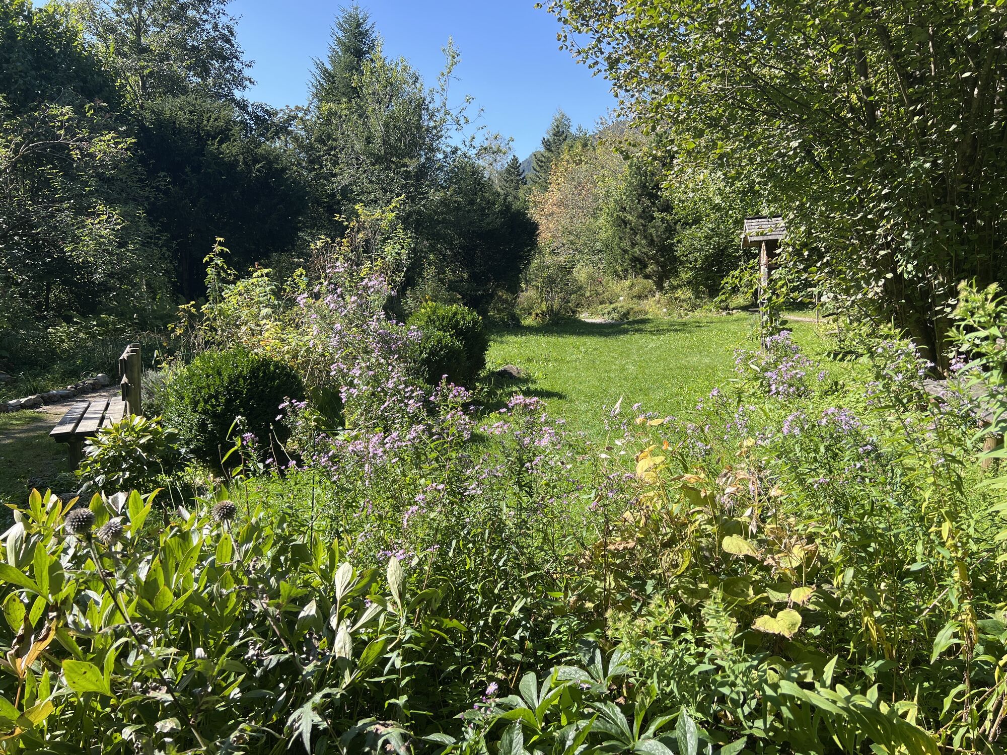
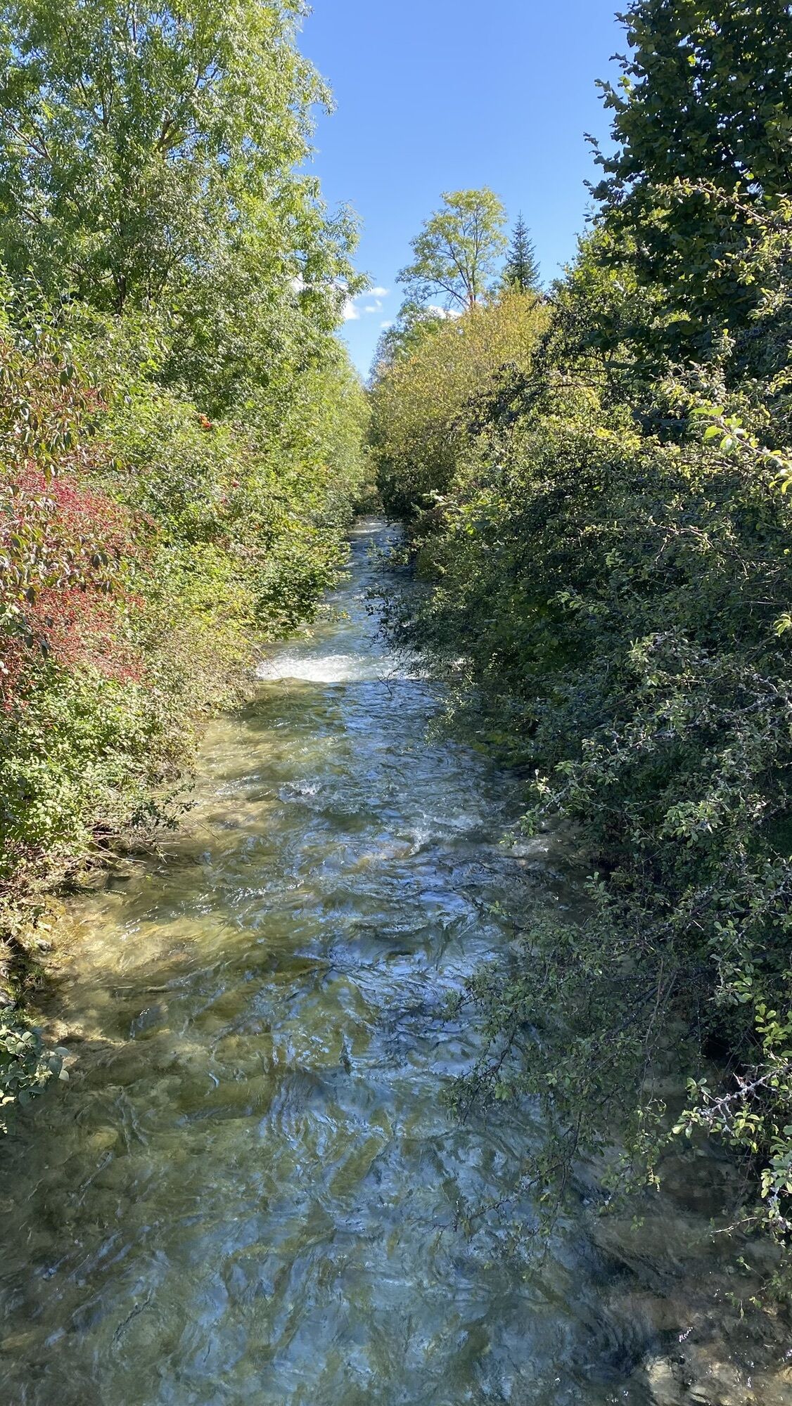
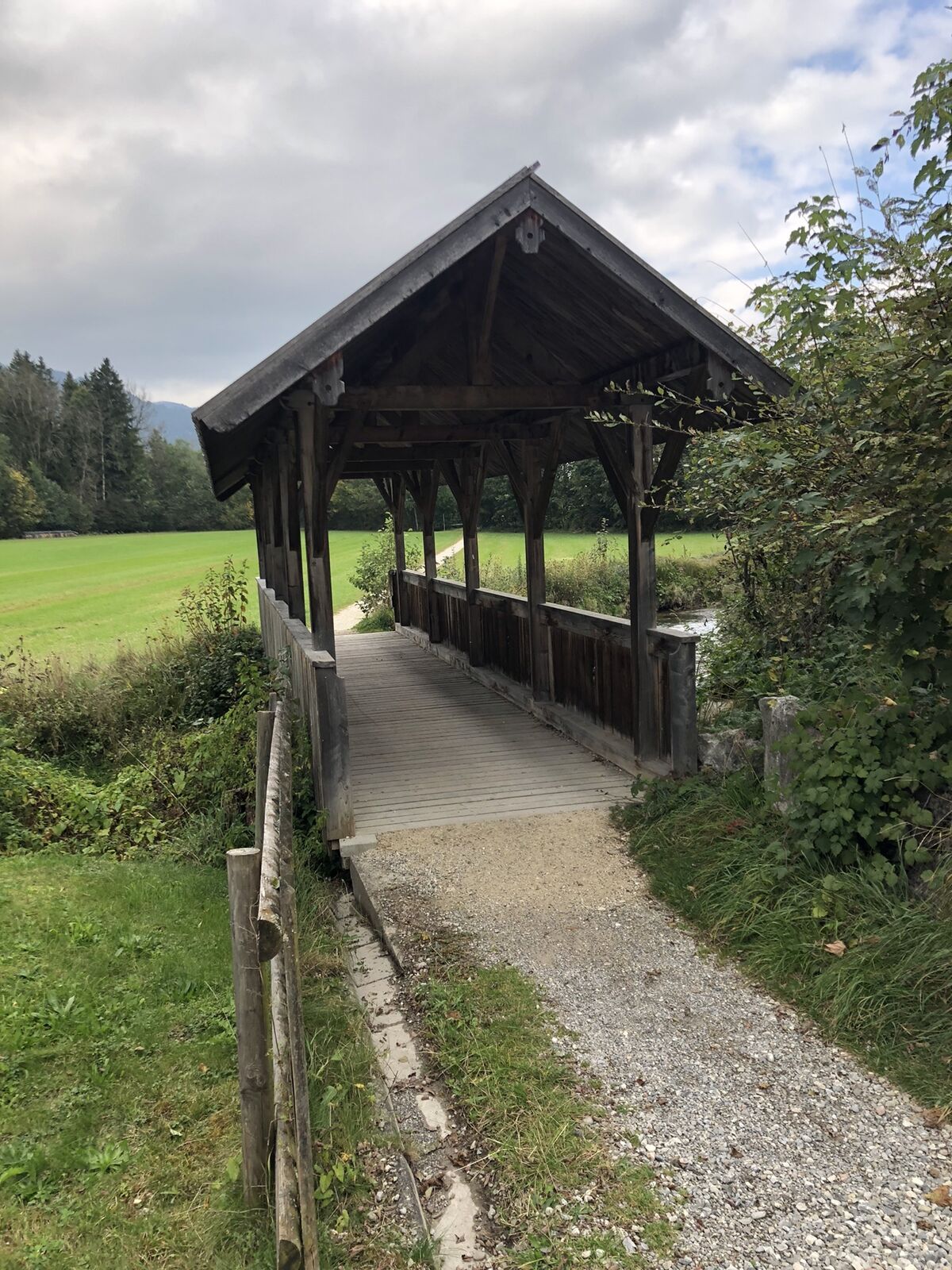
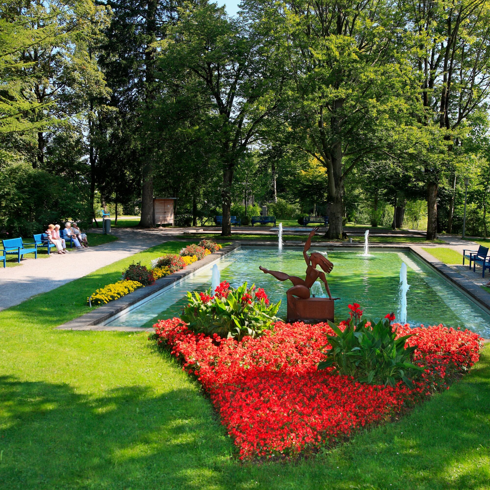
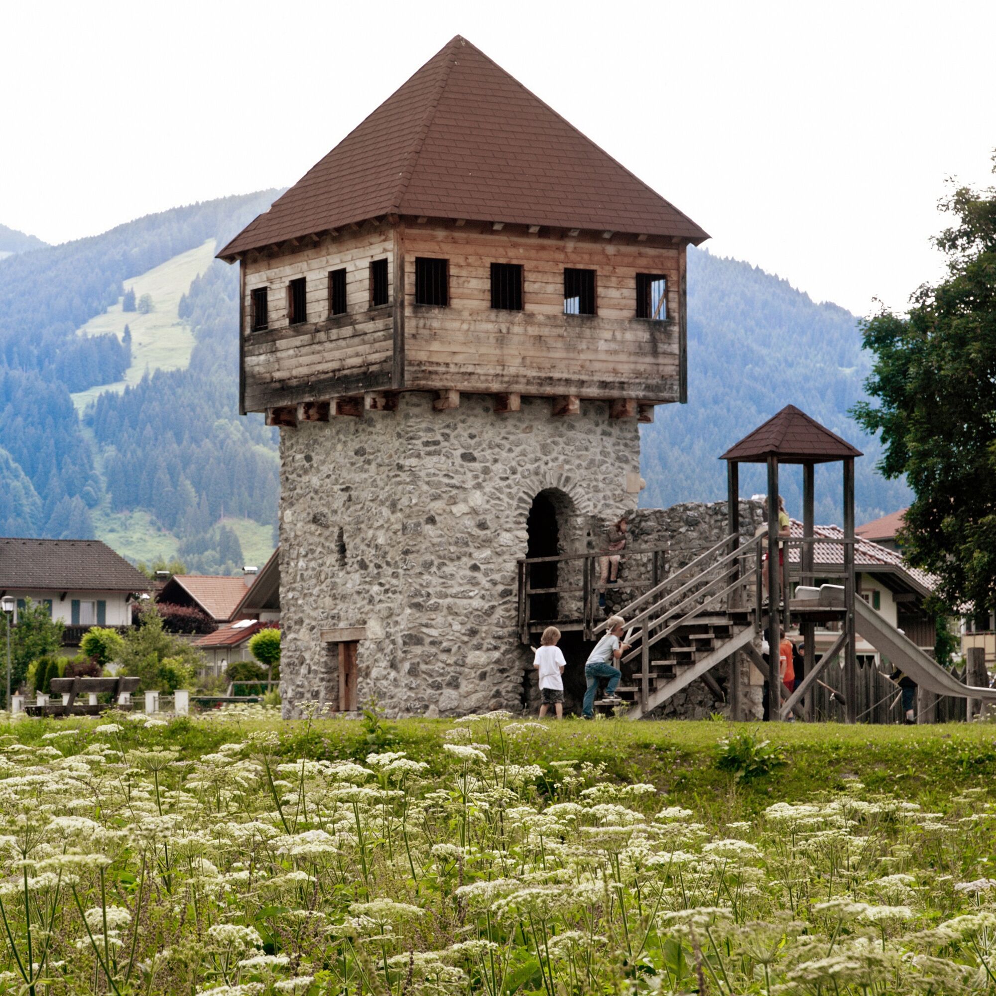
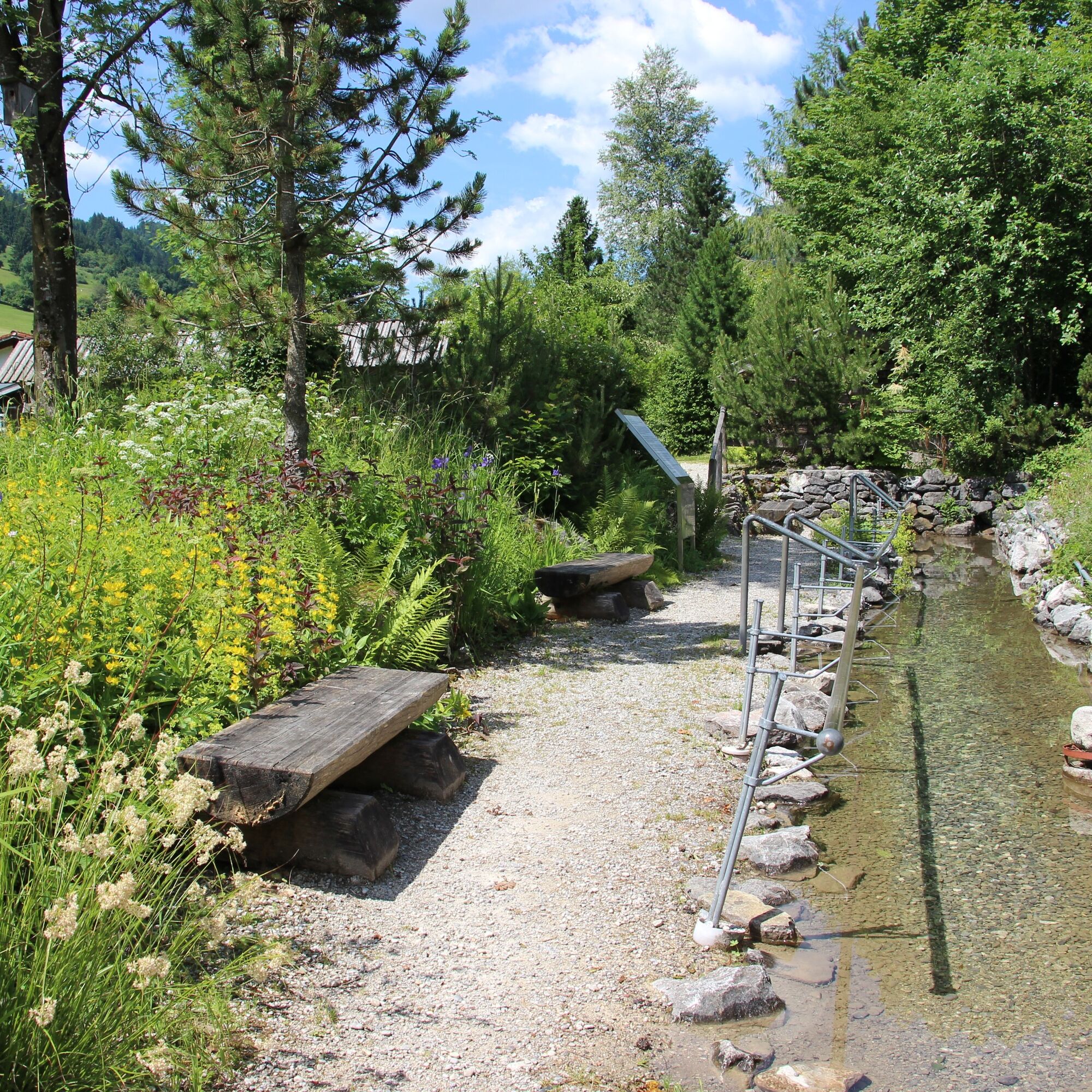
On the circular route through the Pfronten valley you pass the different districts, each of which is something very special in its own right. Starting in Pfronten-Ried, continue in the direction of Halden/Röfleuten....
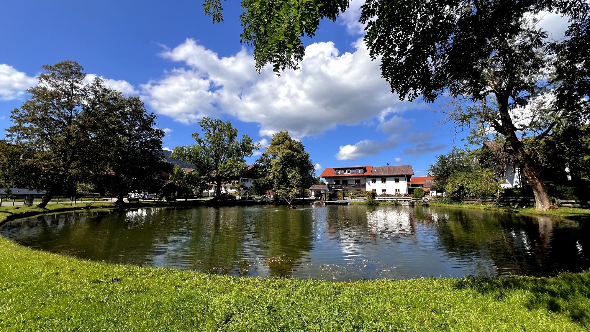
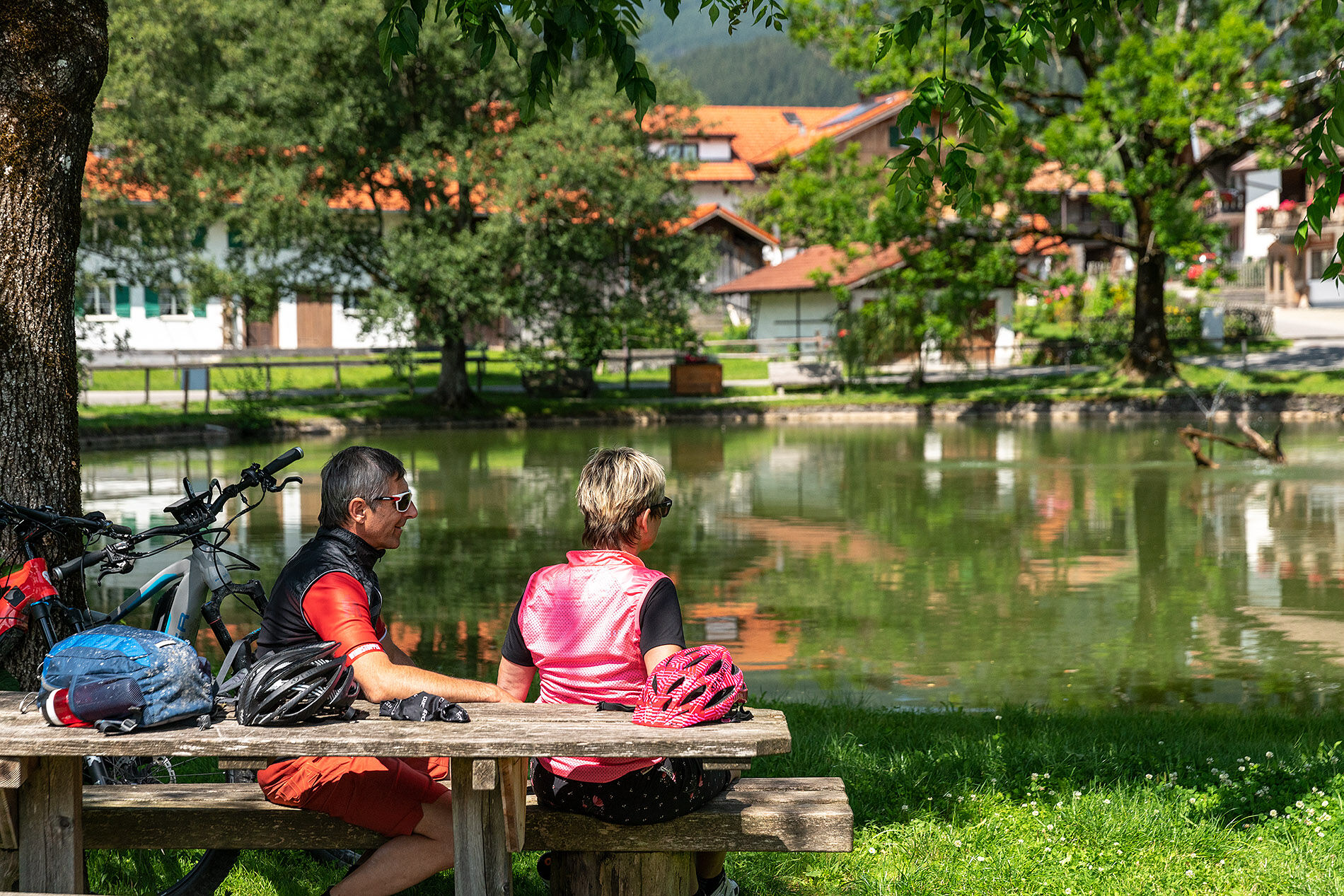
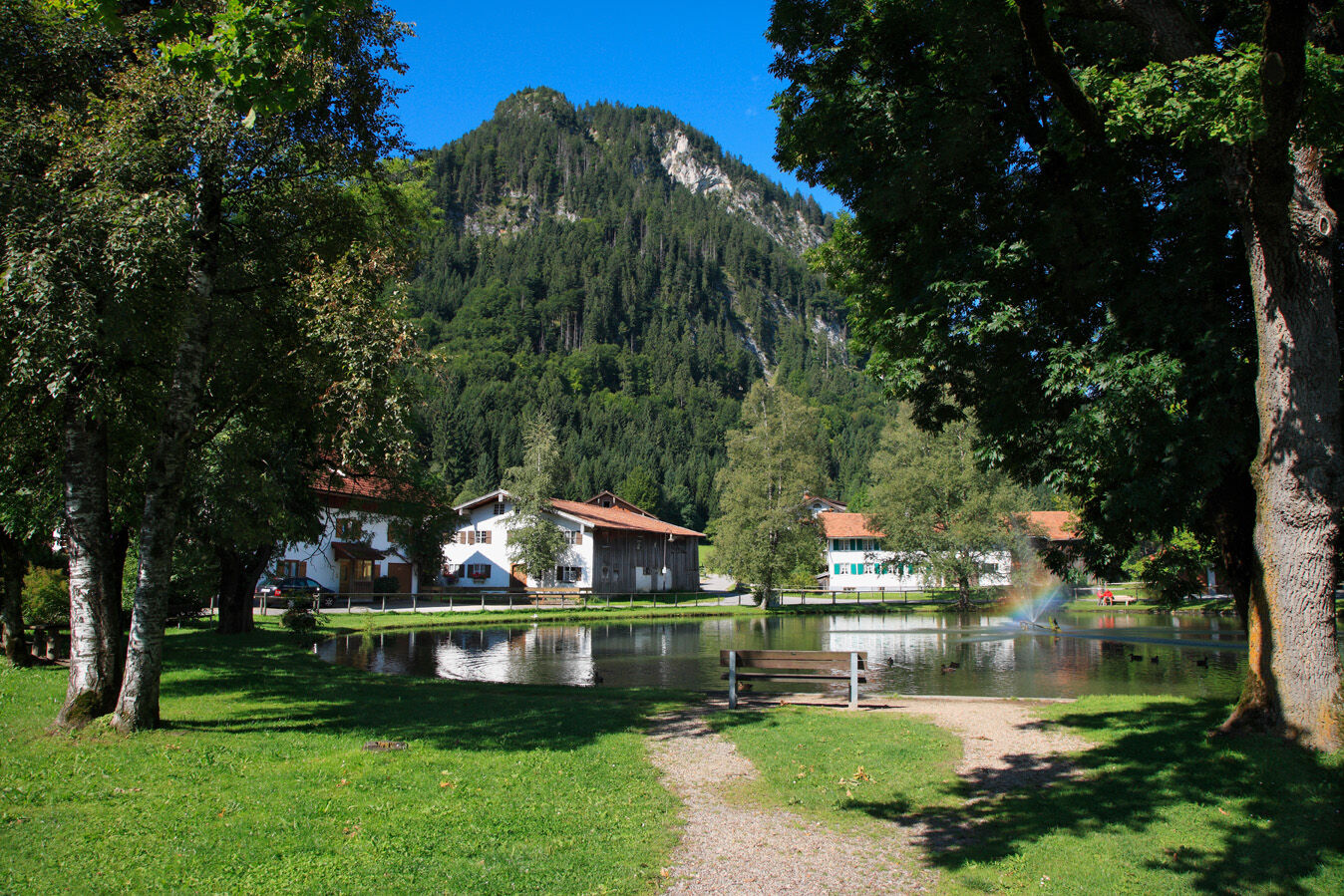
On the circular route through the Pfronten valley you pass the different districts, each of which is something very special in its own right. Starting in Pfronten-Ried, continue in the direction of Halden/Röfleuten. Through the districts Weißbach and Kappel, it continues towards Rehbichel. This district impresses with old farmhouses and beautiful views over the Allgäu foothills. Through Pfronten-Kreuzegg you then reach Meilingen before heading to Pfronten-Steinach. Towards Pfronten-Dorf you pass the "Dorfer Weiher" and can also discover beautiful old farmhouses in this district. Past the "Bläsismühle" you arrive back at your starting point Pfronten-Ried. Of course, you can start the route in the district of your choice and ideally start right at your doorstep.


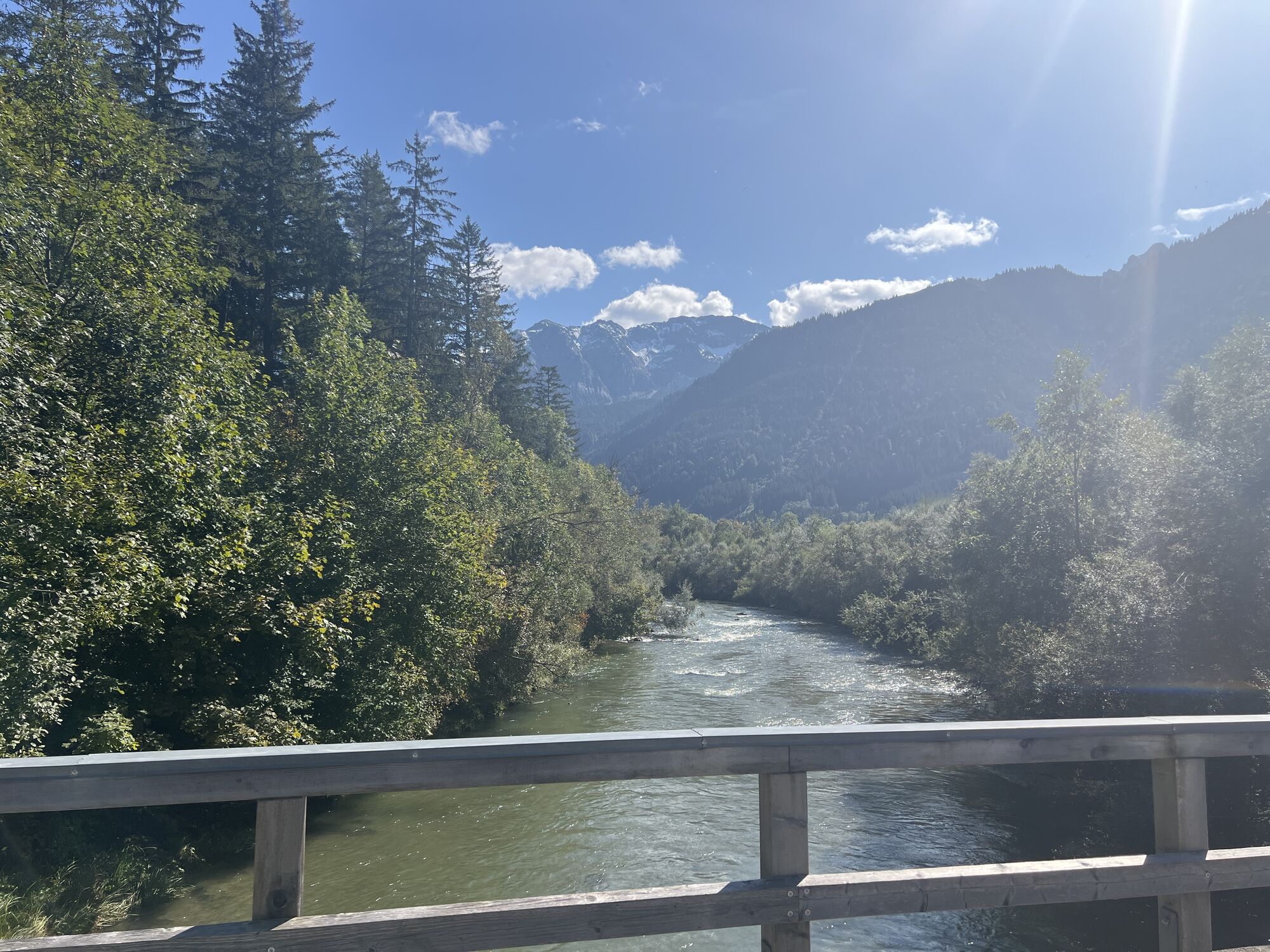
Follow the Vilstalstraße downstream, past the large sawmill and the tennis hall (on R3) to the P1 signpost. Here sharply turn right, uphill towards Halden/Röfleuten. At the fork turn left towards Weißbach/Kappel. At the next two forks again turn left towards Einfängweg/Kappel. Cross the federal road here and enter the Waldwinkelweg. At the edge of the village, turn right down over the Steinebach towards Rehbichel. There turn left, continue on Kolpingstraße towards Kreuzegg to Zeller Straße. From Zeller Straße after about 200 m turn left into Spitzweg, then 20 m right down into Brunnenweg, cross the B 310 and enter Schießstandweg. After about 1 km cross Meilinger Straße into Steinrumpelweg to the Steinbrücke, then continue half-left into Achweg. At the narrow spot (left traffic mirror) go straight on into Panoramaweg. After the bridge, briefly along the right bank of the Vils, cross the railway crossing and then turn left onto Tiroler Straße (B 310). After about 20 m sharply turn right into Krokusweg. At the ski lifts turn right into Scheiberweg and after the bridge turn left into Enzianstraße. Along the timber storage area, crossing Joseweg turn right towards Gschön, crossing Achtalstraße, straight ahead into Kienbergstraße. After 800 m, at the "Dorfer Weiher", turn left into Bläsesweg. Past the "Bläsismühle", over the Vils bridge turn right into Vilstalstraße and to the "Haus des Gastes". The paths are mostly asphalt and farm roads.
Tak
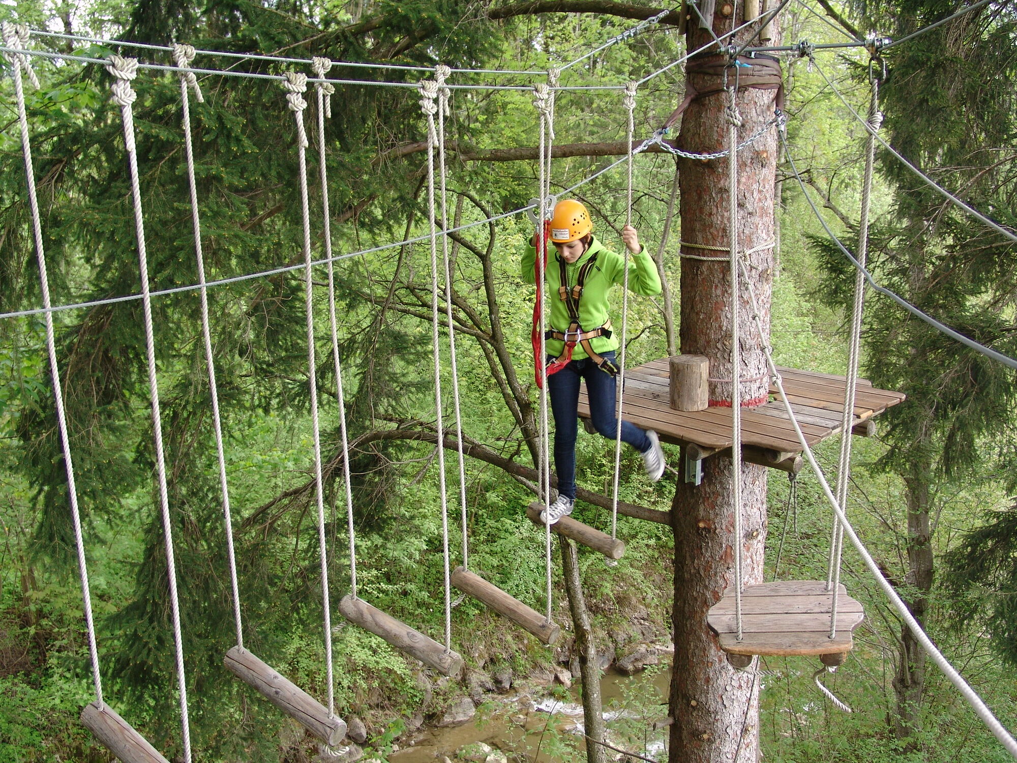
Change of clothes and a helmet are recommended.
B309
Pfronten railway line, public transport bus
Underground car park at the House of Guests, Pfronten-Ried station
2
On the route, you can stop at one of the numerous inns in Pfronten and enjoy regional delicacies or a cool drink. You will find information about this in our local map with restaurant guide.
Kamery internetowe z trasy

Popularne wycieczki w okolicy
- 4,9
Hiking tour to Breitenberg
ciężkiWędrówka 15,6 km - 4,8
Do schroniska Bad Kissinger Hütte przez Gräner Höhenweg
średniWędrówka 13,0 km - 4,7
Mountain hike to the Aggenstein
ciężkiWędrówka 15,3 km - 4,7
Panorama route to the Ostlerhütte
średniWędrówka 5,11 km - 4,7
Forggensee round
średniJazda na rowerze 32,5 km - 4,6
Around Weißensee
światłoWędrówka 6,12 km - 5,0
Gemeinde Grän, Tirol/Österreich Aggenstein Rundtour über Höhenweg
średniWędrówka 9,84 km - 4,8
Iseler und Kühgundkopf
średniWędrówka 7,63 km - 4,7
3-Gipfel-Tour
średniWędrówka 11,2 km - 4,5
Durchs Schneetal zum Hahnenkamm
średniWędrówka 14,1 km
Wędrówki i tropienie


Nie przegap ofert i inspiracji na następne wakacje
Twój adres e-mail została dodana do listy mailingowej.





