


Pleasure route on historic paths
Zdjęcia naszych użytkowników
Just outside the gates of Ingolstadt, in the north of the region, begins the Altmühltal Nature Park. On the pleasure route, you embark on historic discovery paths, as both the varied landscapes and the...
Just outside the gates of Ingolstadt, in the north of the region, begins the Altmühltal Nature Park. On the pleasure route, you embark on historic discovery paths, as both the varied landscapes and the places along the way have exciting stories to tell. Culinary wishes are also fully met with Altmühltal lamb & Co.
Attractions along the route:
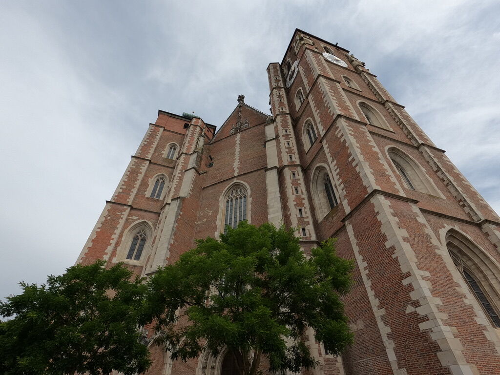
City Museum, Ingolstadt: The city museum traces the development of the region from prehistoric times through the Middle Ages to the industrial age. Outstanding exhibits are the Swedish white horse and an original city model from 1571.
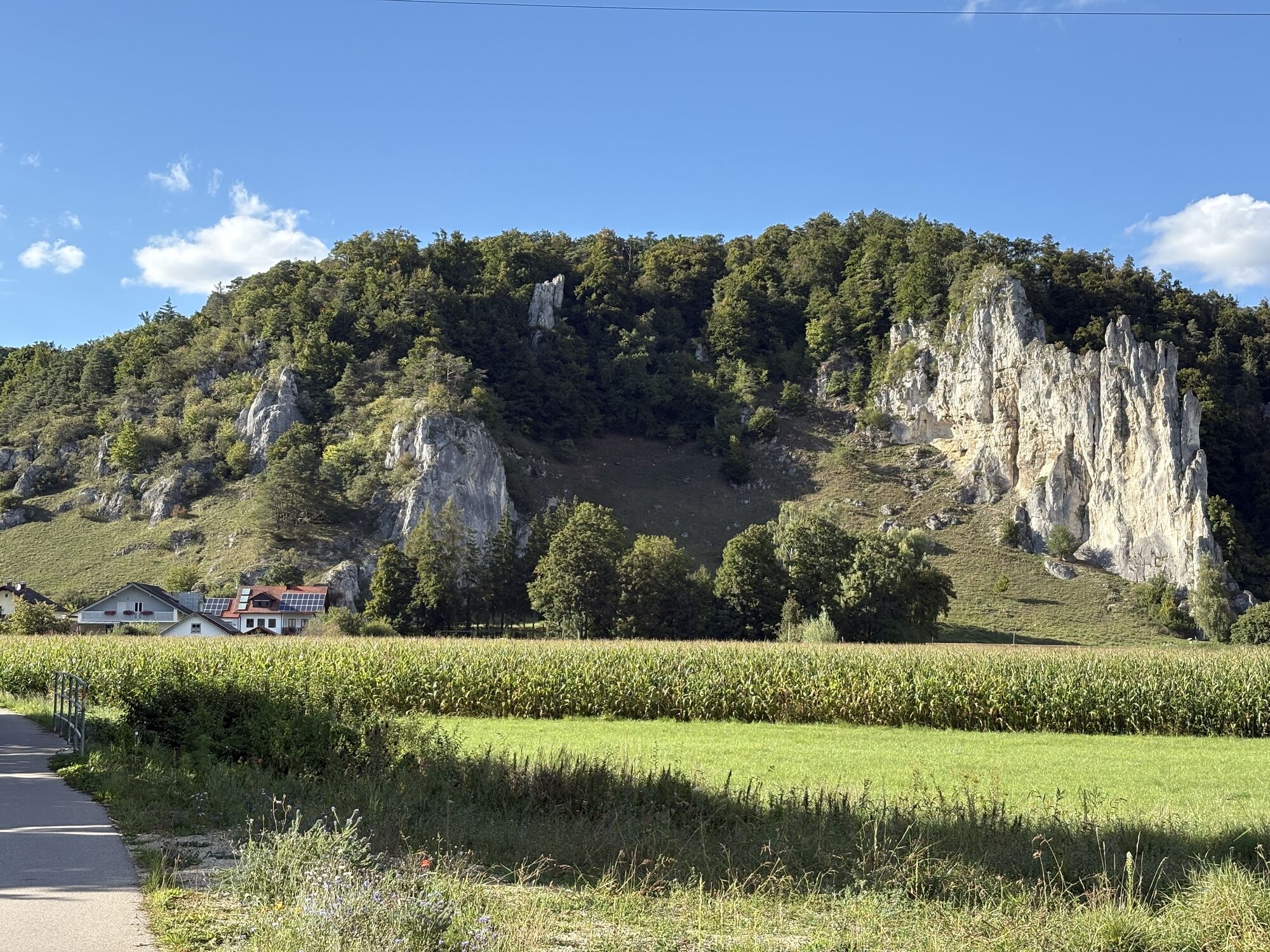
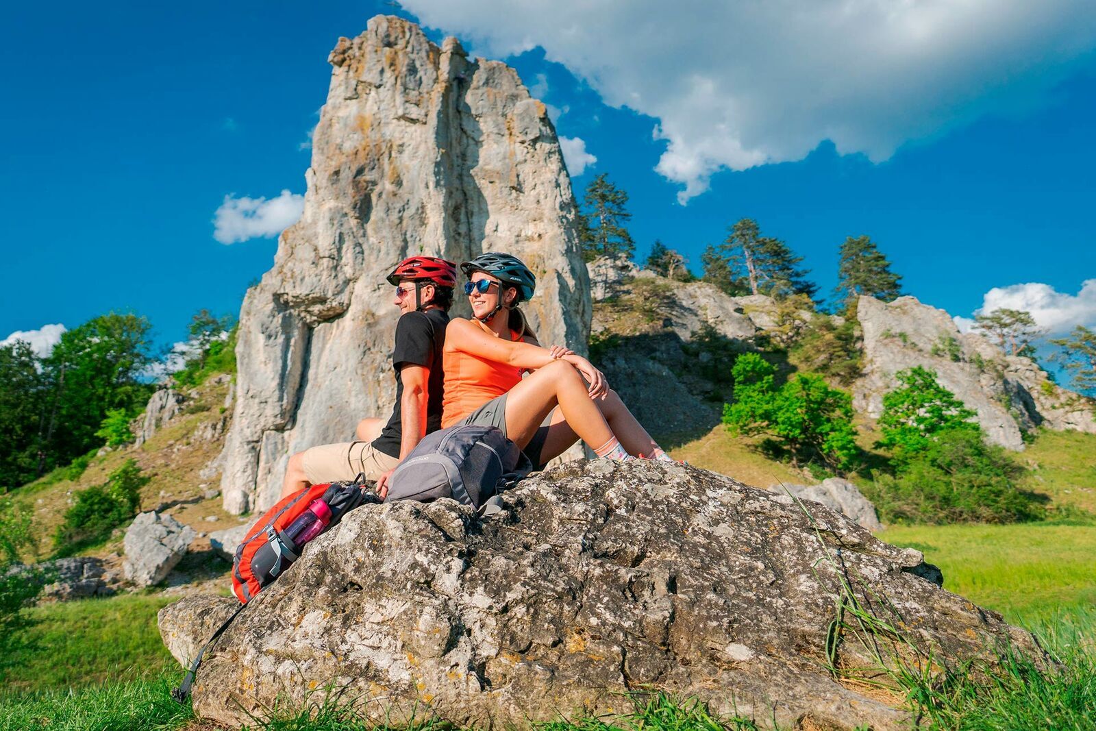
Wellheim Castle and Dohlenfelsen, Konstein: The old castle majestically and prominently towers over a powerful limestone formation and stands as an example for many castle and fortification sites along the dry slopes in the Urdonau and Altmühltal.
Altmühlzentrum Burg Dollnstein: Only the outer castle of the former castle complex could be saved. This was renovated from 2007 and is now a museum. The exhibitions deal with the history of castles in the Altmühltal. The highlight is the spectacular treasure find discovered during restoration work. Another focus is the river and landscape history of the region.
Jura Museum on the Willibaldsburg, Eichstätt: The Jura Museum is one of the most beautifully located natural history museums in Germany. The focus of the exhibition is on fossils of the Solnhofen limestone. These enable a time travel to an approximately 150 million-year-old tropical island, reef, and lagoon landscape, inhabited by fish dinosaurs and crocodiles, coral fish and crabs, insects, and flying dinosaurs. Among the most impressive fossils are the world's only specimen of the predatory dinosaur Juravenator and an original of the famous prehistoric bird Archaeopteryx.
Roman Fort “Castra Vetoniana”, Pfünz: The Vetoniana fort is a Roman cohort fort near Pfünz. It was built from around 90 AD on a 42-meter-high Jura spur between the valley of the Altmühl and that of the Pfünz stream. It is part of the Rhaetian Limes, which was declared a UNESCO World Heritage Site in 2005.
Jura Farm Museum, Hofstetten: The museum is located in the listed Kipferler Farm. The farm with residential stable house, barn, outbuildings, and garden provides an impression of the life and working methods of Jura farmers. Historical objects and vehicles are exhibited in the buildings and on the grounds.

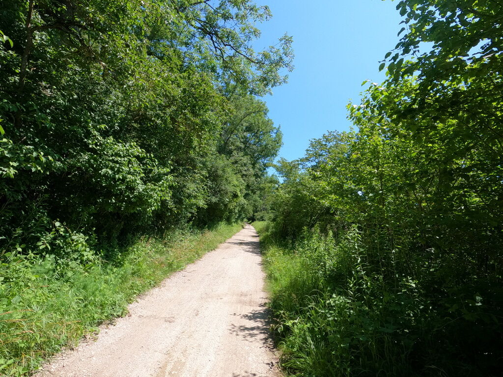

This route begins at Rathausplatz in Ingolstadt. Before following the signs of the Schuttertal bike path via Gerolfing, Dünzlau, Egweil, and Nassenfels with its impressive castle into the Urdonautal, a visit to the Ingolstadt City Museum is worthwhile. The museum, housed in a neoclassical fortress building, provides an overview of the natural landscape and settlement history of the region. In the Urdonautal, the route leads northward along the Amper-Altmühl bike path towards Wellheim and Konstein.
A first impression of the long and diverse cultural history is already gained here: Wellheim Castle is a former Romanesque fortress built in a prominent location on a rugged rock formation above the market town of Wellheim, abandoned and partially demolished in the 18th century. At the castle site, another natural element that shapes the Altmühltal landscape can be observed: the partly spectacular limestone rock formations. A few hundred meters further from Wellheim, you encounter a particularly impressive representative, the so-called Dohlenfelsen, a popular spot for hobby climbers in summer.
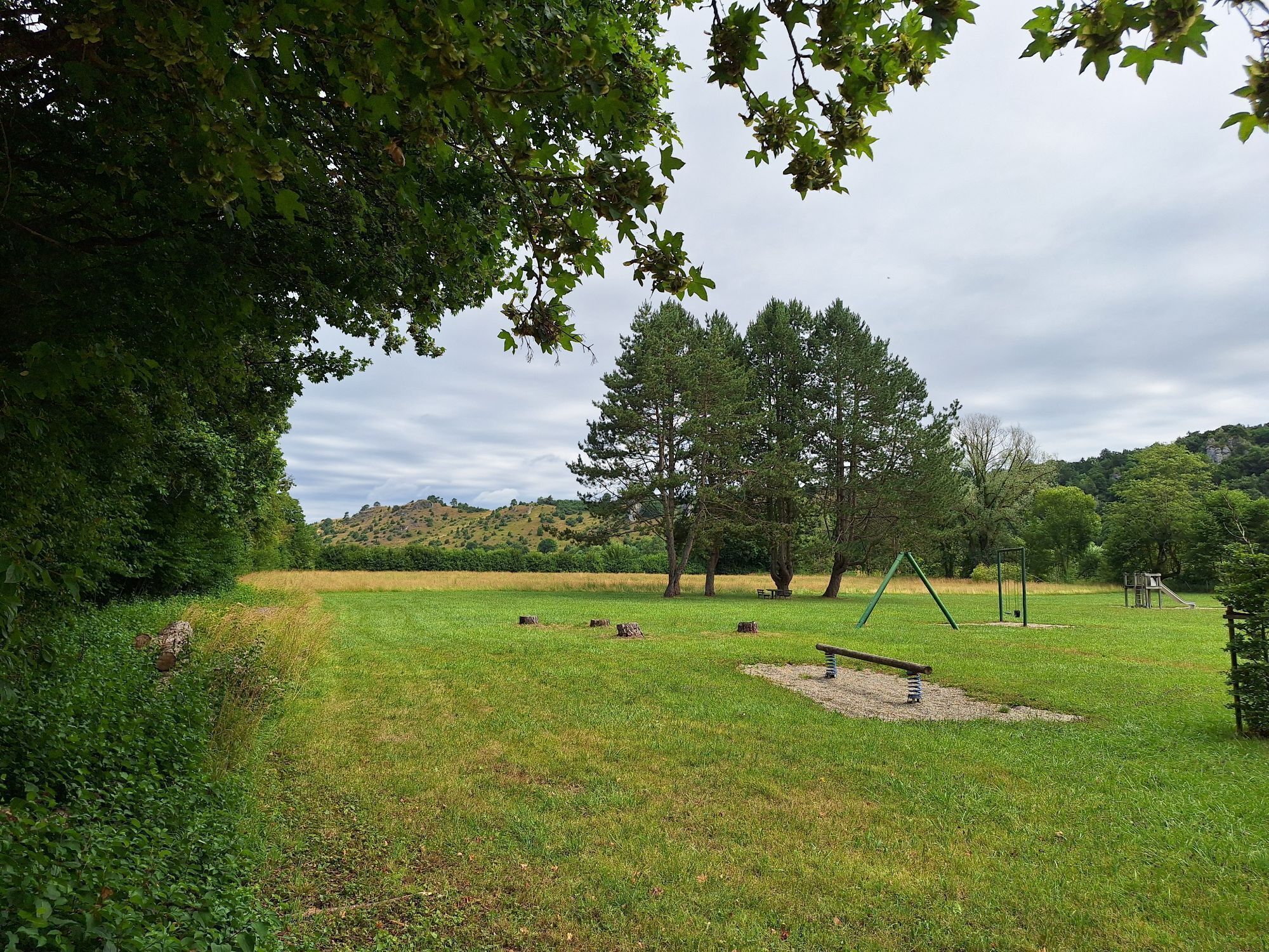
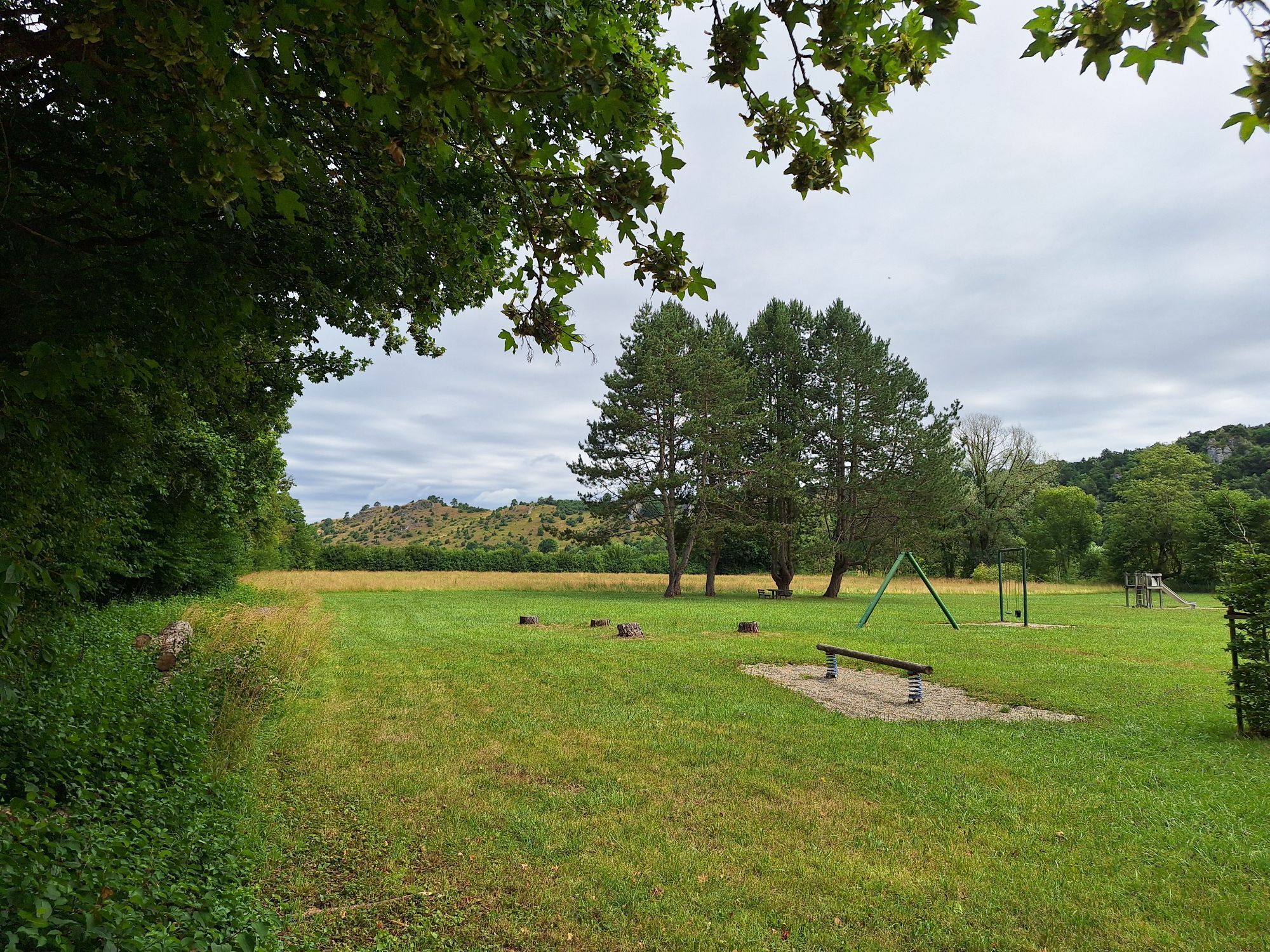
The pleasure route continues through the broad Wellheim dry valley, which only hints at the magnitude of the ancient Urdonau that once flowed here. Also interesting is the natural forest reserve on the rock-strewn southeast slope of the Urdonautal opposite the village of Ried, featuring beech primeval forest. In Dollnstein, you meet the nationally known and popular Altmühltal bike path. Before the route follows it to Eichstätt, a detour to the Altmühlzentrum Burg Dollnstein with information about castle history and the river and landscape history should not be missed.
Shortly after Dollnstein, you pass the impressive castle rock. Like the Dohlenfelsen, it is also a climbing hotspot and one of the most beautiful Bavarian geotopes. Following the gentle flow of the Altmühl, the route then continues to Eichstätt, where the Jura Museum on Willibaldsburg high above the bishop's town offers a detailed insight into the landscape history of the Altmühltal with its impressive exhibits. Numerous cafés and restaurants in the baroque old town of Eichstätt invite you to rest before the route continues to Pfünz. In Pfünz, the partially reconstructed Roman fort “Castra Vetoniana” shows how the Romans left their mark on the region—significantly so, since the area was a border region between the Roman Empire and northern Germania. From Pfünz, a slight ascent must first be climbed before returning to Ingolstadt via Hofstetten, Böhmfeld, and Gaimersheim. The route passes Pius Park between Gaimersheim and Ingolstadt, the site of the Bavarian State Garden Show 2020.
Tak
Tak
Tak
On the A9 to the Ingolstadt-Süd exit, then towards the city center, parking available at parking lot and/or underground garages Theater-East and Theater-West
By long-distance trains of DB (Deutsche Bahn) or the local trains of DB, agilis, or the Bayerische Oberlandbahn to the main station Ingolstadt, then continue by bus or bike to the city center, to the Tourist Information at Rathausplatz, Moritzstraße 19.
Parking lot Theater-East, underground garages Theater-East and Theater-West
More information about the bike tour:
Visiting the abandoned quarry at Marienberg (above Eichstätt) is a special experience. The so-called "Matterhorn" offers a wonderful view of the surroundings, and treasures from the past still lie dormant in the quarry heaps...
Popularne wycieczki w okolicy
-
4,4
Jägersteig
średniWędrówka 6,96 km -
Altmühltal-Panoramaweg
średnidługodystansowy szlak pieszy 199,2 km -
5,0
Oberlanderklettersteig, Altmühltal
średniWędrówka 4,10 km -
4,0
Eichstätt panorama trail
średniWędrówka 11,4 km -
5,0
Von Solnhofen nach Eichstätt
światłoJazda na rowerze 55,6 km -
5,0
9 | Ins Anlautertal und Altmühltal
Jazda na rowerze 64 km -
5,0
10 | 3-Täler-Tour Urdonau-, Schutter- und Altmühltal
Jazda na rowerze 60 km -
Schambachtal Umrundung
światłoWędrówka 4,56 km -
5,0
Schambach Kipfenberg Rundweg
średniWędrówka 19,7 km -
5 | Zwei-Täler-Tour Altmühltal und Urdonautal
Jazda na rowerze 41 km

Wędrówki i tropienie


Nie przegap ofert i inspiracji na następne wakacje
Twój adres e-mail została dodana do listy mailingowej.