


E-bike foothill tour
Poziom trudności: 2

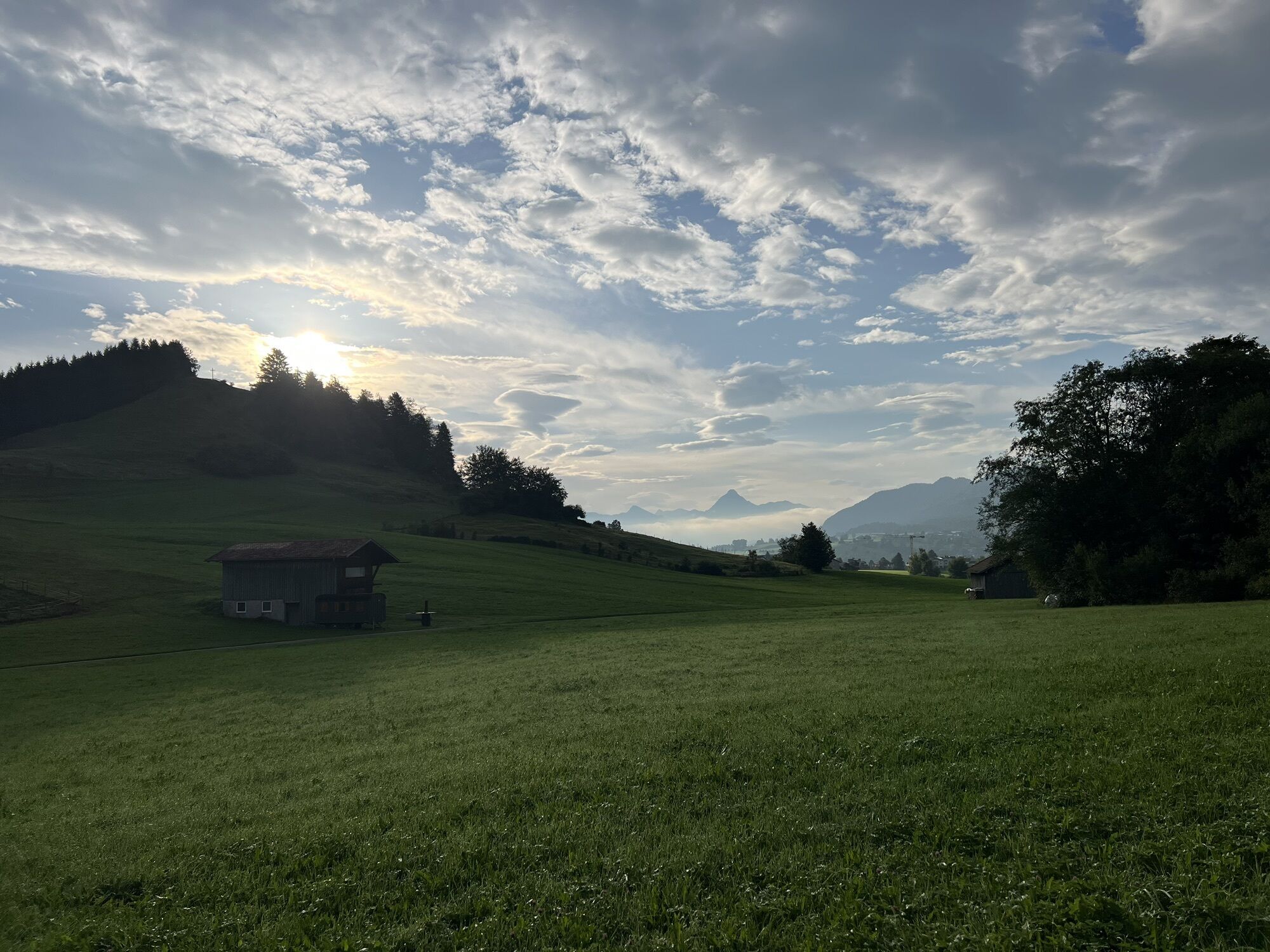
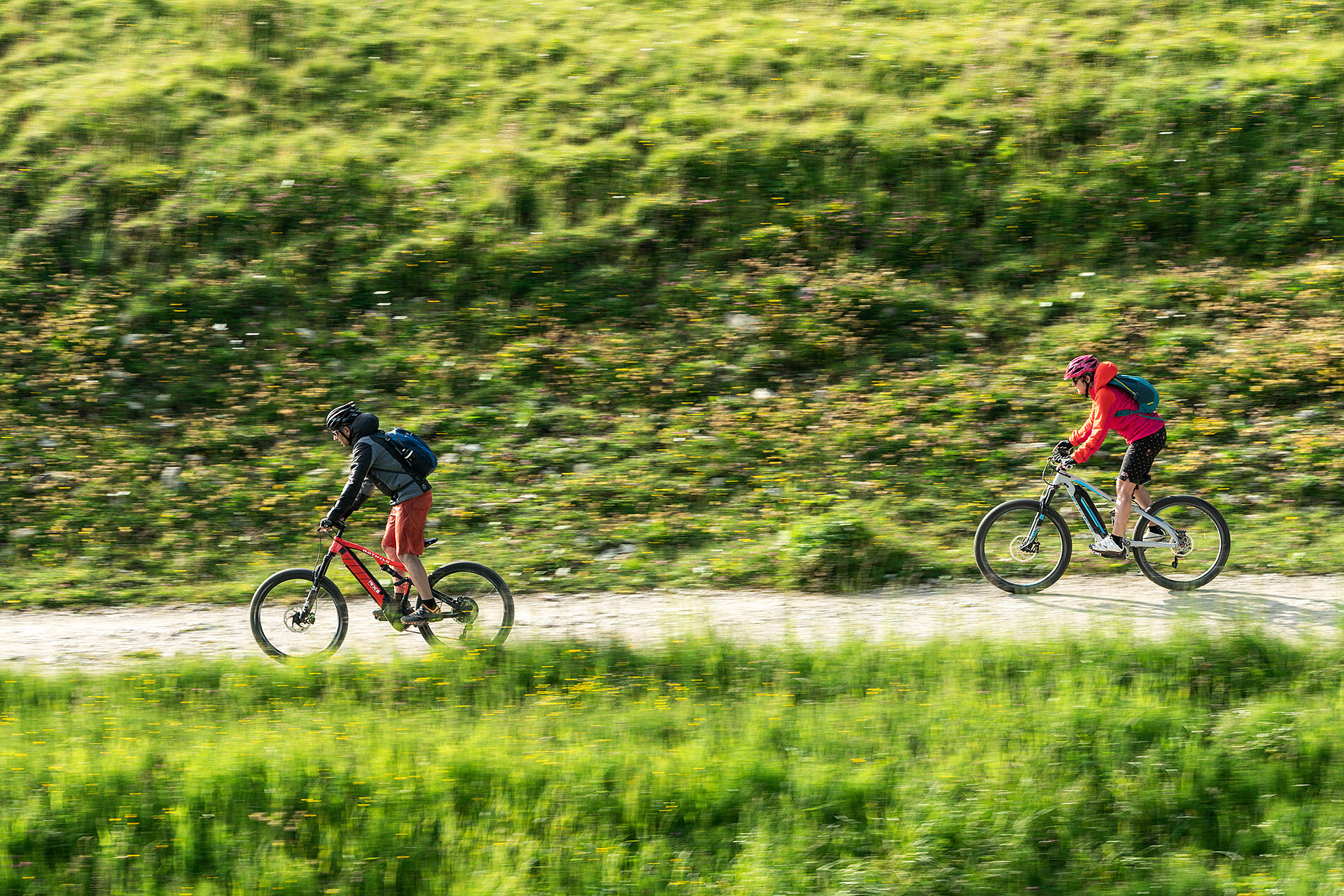
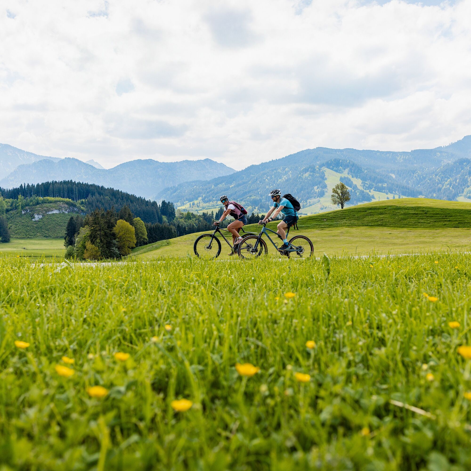
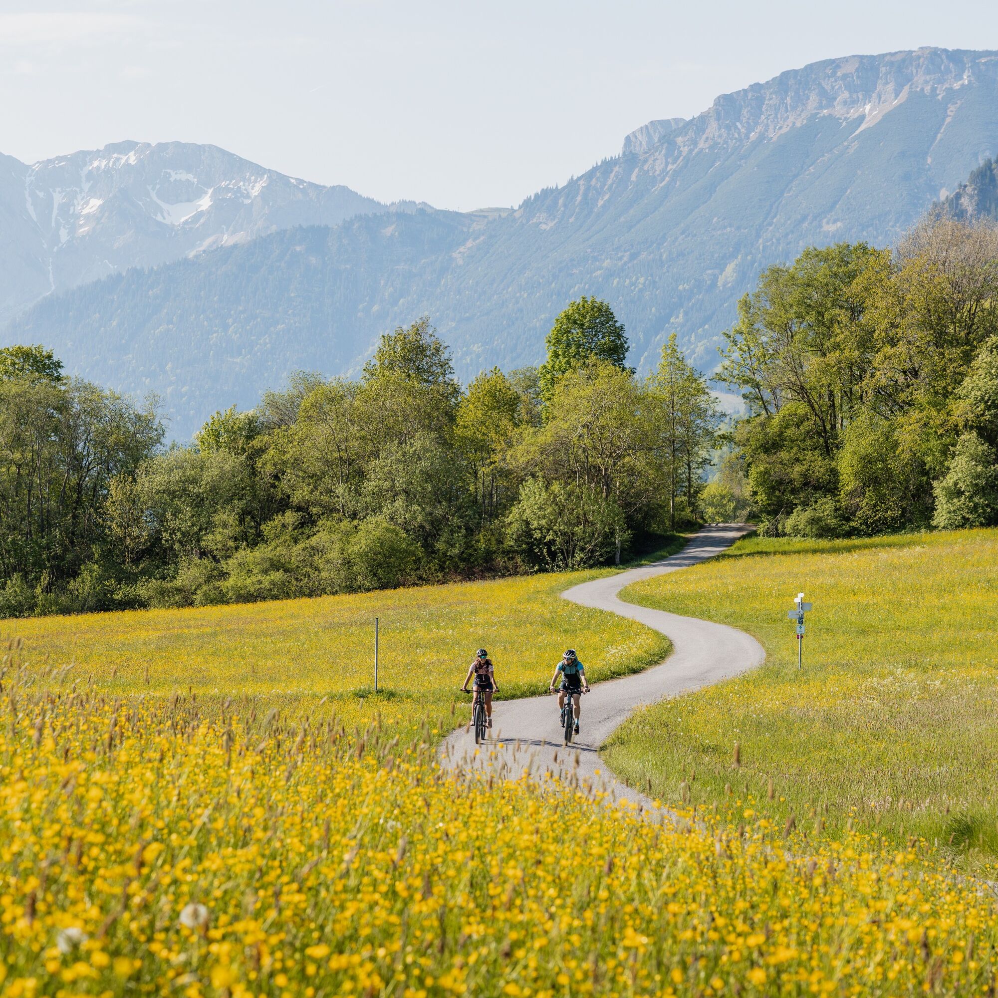
An enjoyable e-bike ride through the Allgäu Alpine foothills. You will discover the districts of Pfronten with the e-bike before moving away from the mountains towards the rolling Alpine foothills, where...
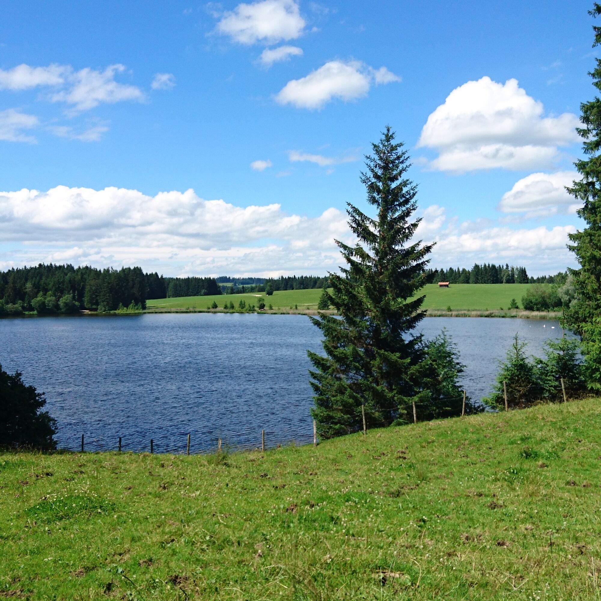
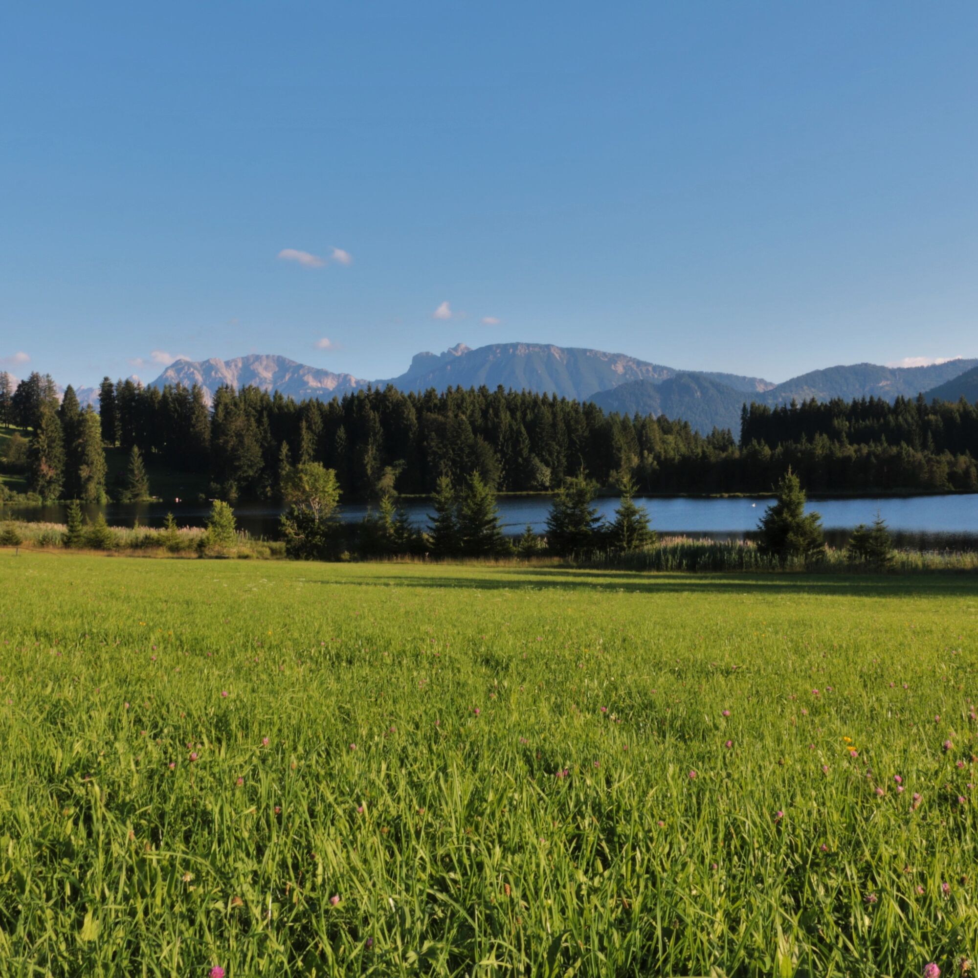
An enjoyable e-bike ride through the Allgäu Alpine foothills. You will discover the districts of Pfronten with the e-bike before moving away from the mountains towards the rolling Alpine foothills, where a well-deserved refreshment awaits you at the Kögelhof. If the temperature is right, a cool dip in the natural lake "Kögelweiher" is a delight. With the Alpine panorama always in sight, the route takes you back to the starting point, the Haus des Gastes in Pfronten-Ried.

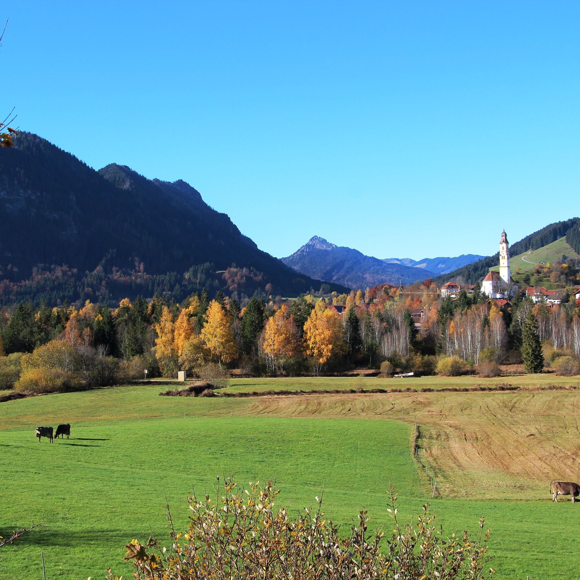
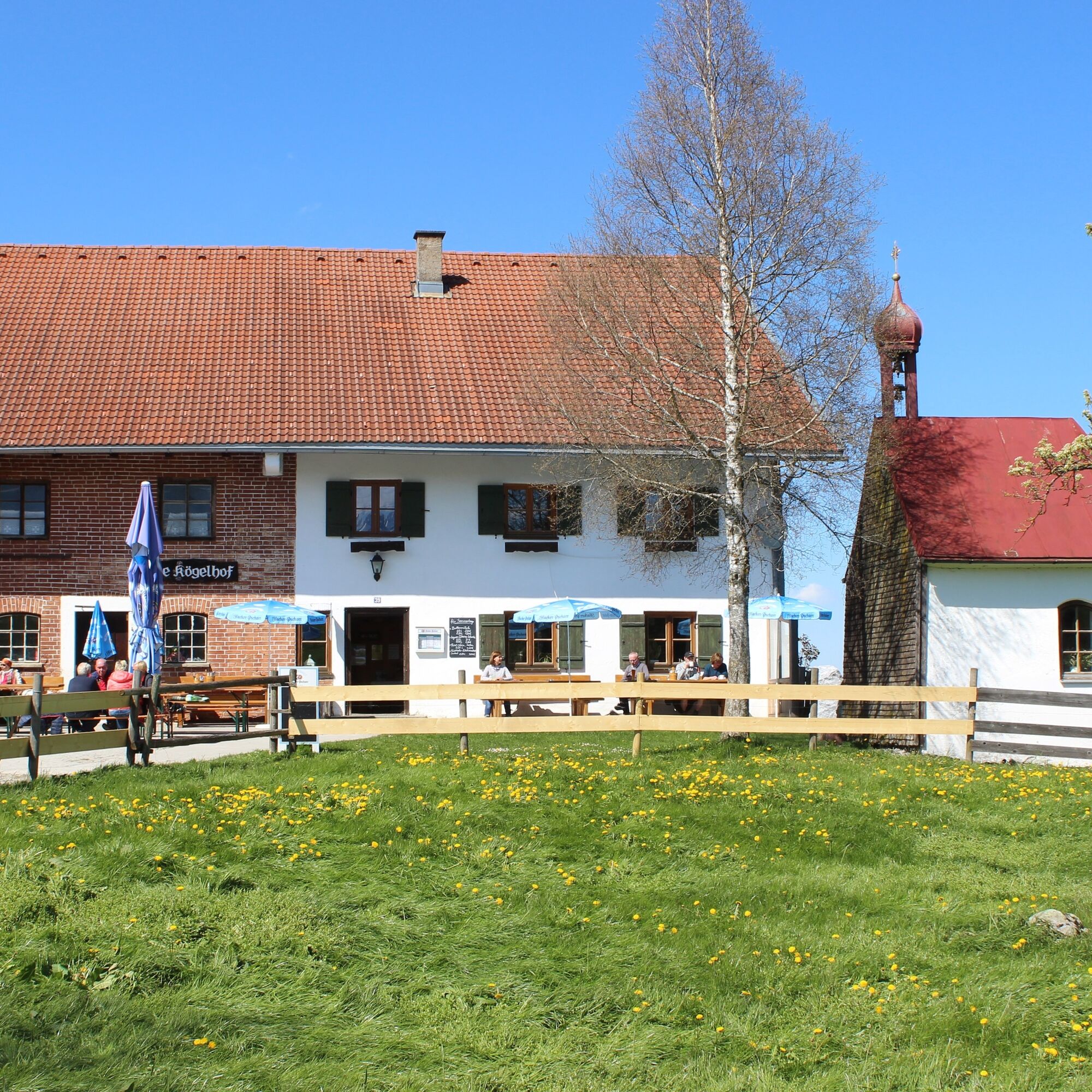
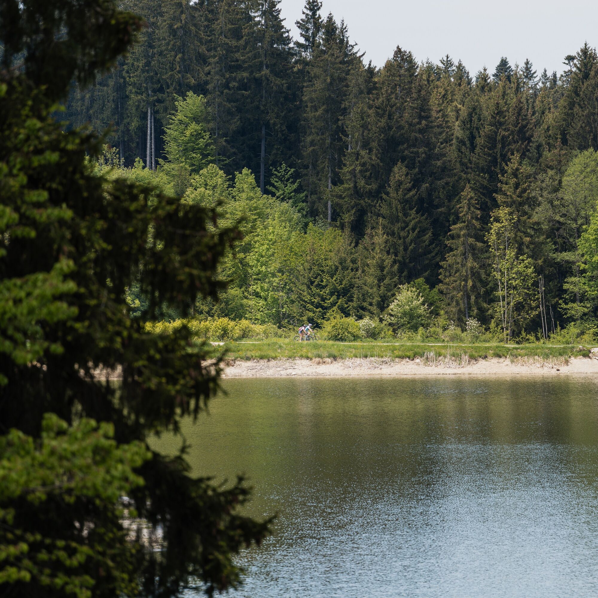
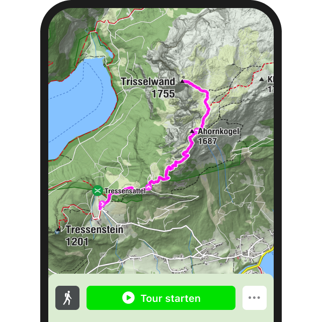
The bike route starts at the Haus des Gastes in Pfronten-Ried. Then continue along the right side of the road to Pfronten-Röfleuten. Behind the new development area there is a large parking lot. Pass this on the left and take the Einfängweg to Pfronten-Kappel. The bike route continues via Moosmühlweg to Pfronten-Rehbichl. Follow the well-signposted path to Schweinegg to reach the Köglhof at Kögelweiher. Continue towards Zell, from where a bike path leads to Pfronten-Kreuzegg. Cross the road and keep left towards Moosweg. The path through the moor leads you from Kreuzegg back to Pfronten-Ried, where your starting point - the Haus des Gastes - is located. The path is asphalted or gravelled.
Helmet, a backpack with provisions and a rain jacket or sun protection depending on the weather are recommended.
B 309
Pfronten railway line, public transport bus
Haus des Gastes, Bischlhaus underground car park
2
The route can of course also be done without an e-bike.
Leisurely bike ride through the gently rolling foothill landscape with swimming opportunities and a visit to the castles "Hohenfreyberg" and "Eisenberg".
Kamery internetowe z trasy
-
Skizentrum Steinach / Pfronten
-
Pfronten-Halden / Hotel Zugspitzblick
-
Pfronten - Boutique Hotel Blaue Burg Falkenstein
-
Nesselwang - Alpspitzbahn Mittelstation
-
Pfronten - Ostlerhütte
-
Eisenberg - Burgruine
-
Seeg - Honigdorf
-
Nesselwang - Alpspitzbahn Sportheim Böck
-
Nesselwang - Alpspitzbahn Talstation
-
Füssen Appartementhotel Seespitz
-
Breitenbergbahn - Pfronten
-
Pfronten - Skizentrum
-
Hopferau Burgruinen Hohenfrey- und Eisenberg
-
Restaurant Schwaltenweiher - Seeg
Popularne wycieczki w okolicy
-
4,7
Around Weißensee
światłoWędrówka 6,12 km -
5,0
Hiking tour to Breitenberg
ciężkiWędrówka 15,6 km -
4,9
Gemeinde Grän, Tirol/Österreich Aggenstein Rundtour über Höhenweg
średniWędrówka 9,84 km -
4,8
Do schroniska Bad Kissinger Hütte przez Gräner Höhenweg
średniWędrówka 13,0 km -
4,6
Mountain hike to the Aggenstein
ciężkiWędrówka 15,3 km -
4,6
Panorama route to the Ostlerhütte
średniWędrówka 5,11 km -
4,7
Von Obergschwend auf Wertacher Hörnle
średniWędrówka 10,0 km -
4,0
Duży muł
średniWędrówka 5,53 km -
4,0
Wanna Reutera
średniWędrówka 9,03 km -
4,5
Friedberg via ferrata
średniVia ferrata 6,58 km
Wędrówki i tropienie


Nie przegap ofert i inspiracji na następne wakacje
Twój adres e-mail została dodana do listy mailingowej.