


Vils valley path to Indians and cows
Poziom trudności: 1
Zdjęcia naszych użytkowników
-

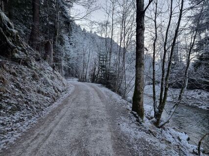
 © SimilaunUtworzono dnia 16.04.2025
 -
 © SimilaunUtworzono dnia 16.04.2025
 -
 © SimilaunUtworzono dnia 16.04.2025
 -
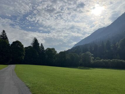
 © FelixUtworzono dnia 29.12.2025
 -
 © FelixUtworzono dnia 29.12.2025
 -
 © FelixUtworzono dnia 29.12.2025
 -
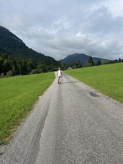
 © Anna AndrzejewskaUtworzono dnia 28.08.2025
 -
 © Anna AndrzejewskaUtworzono dnia 28.08.2025
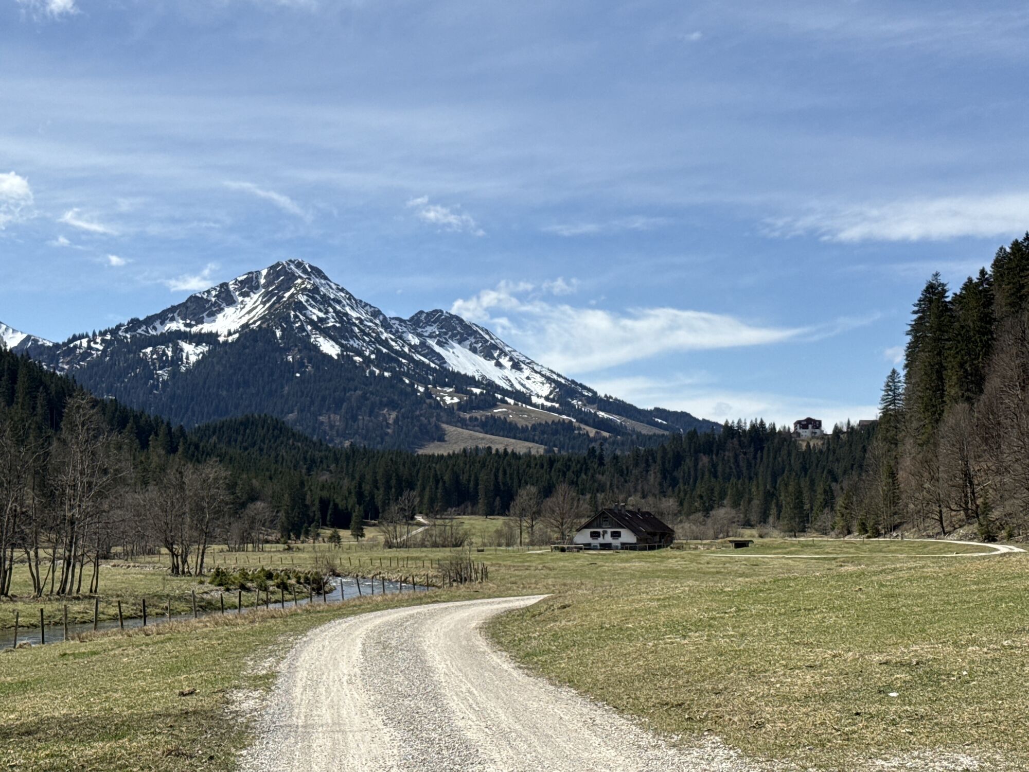
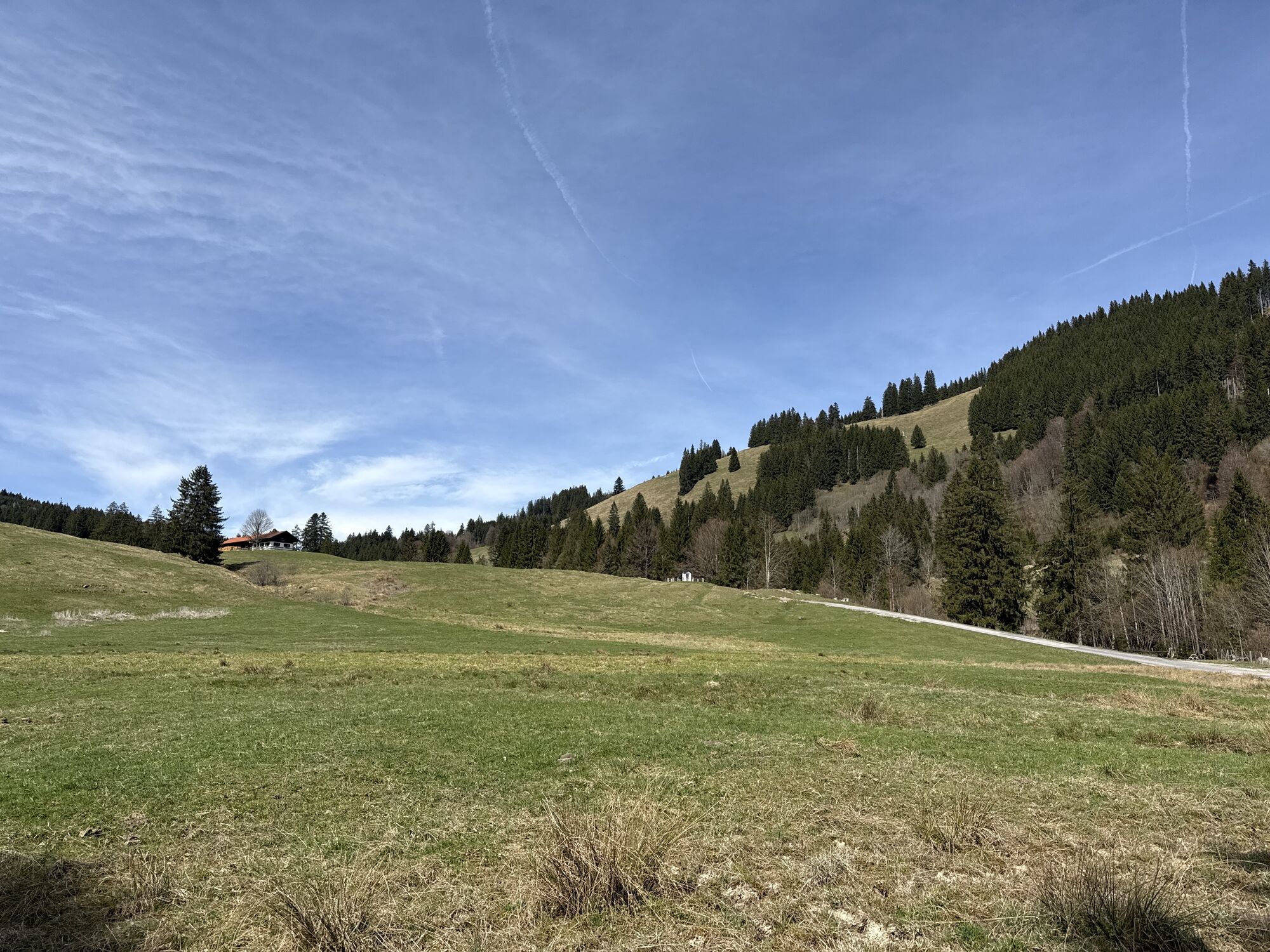

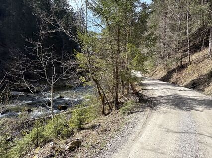
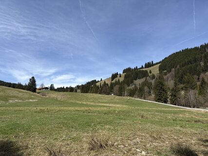
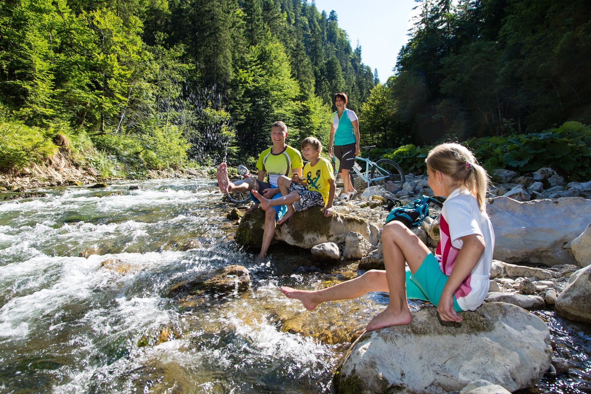
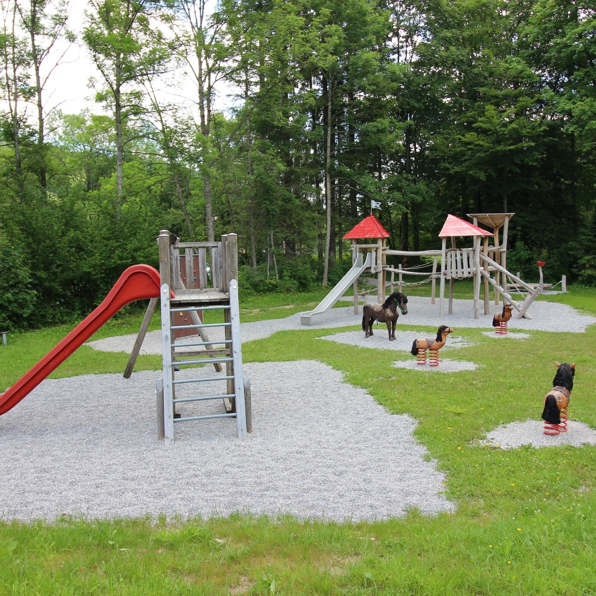
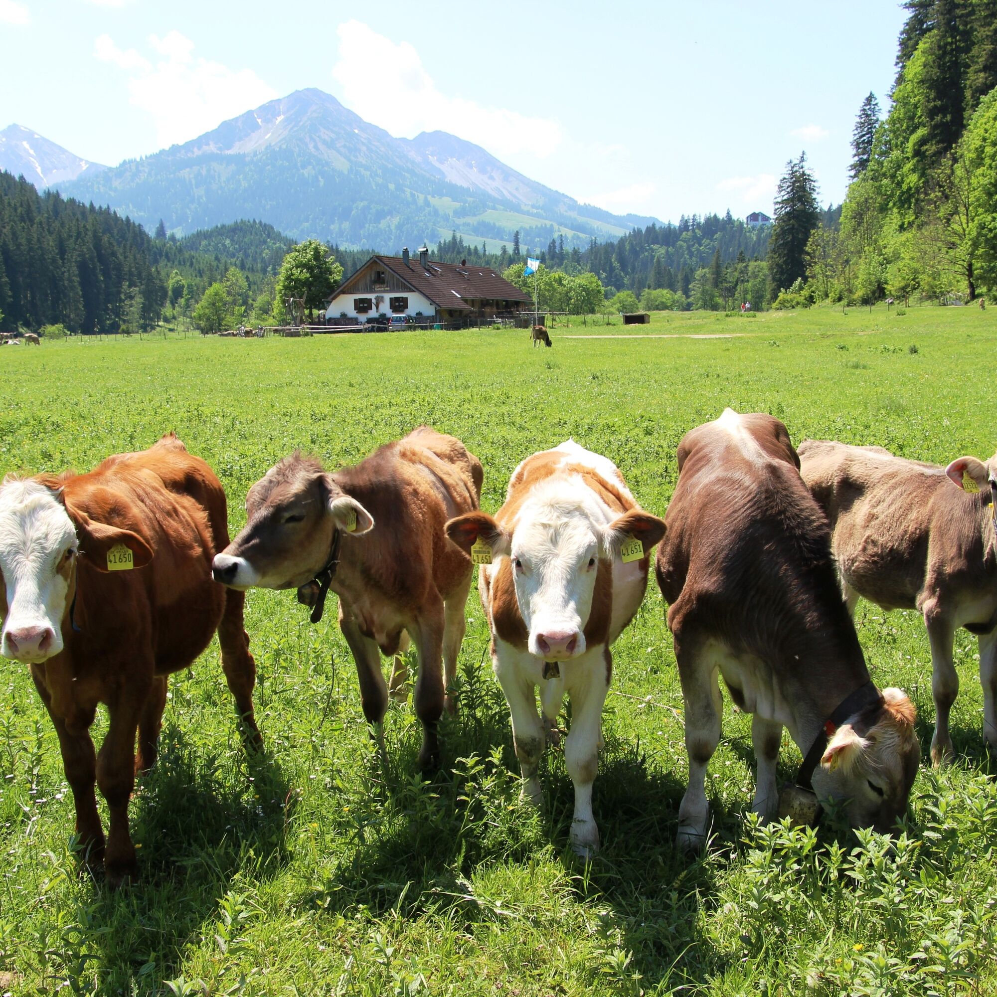
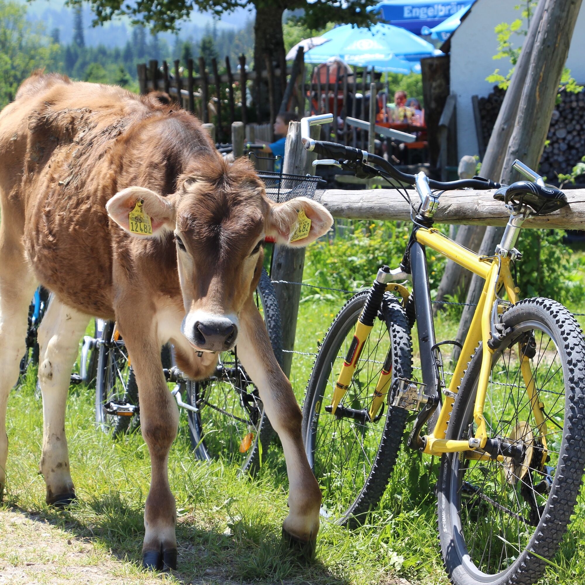
On this idyllic cycling path, fun for the whole family is guaranteed. The route runs along the Vils, past the Indian playground, until it finally ends at the Kalbelehof Alpe, where in the summer months...
On this idyllic cycling path, fun for the whole family is guaranteed. The route runs along the Vils, past the Indian playground, until it finally ends at the Kalbelehof Alpe, where in the summer months (June – mid-September) a delicious snack awaits you.
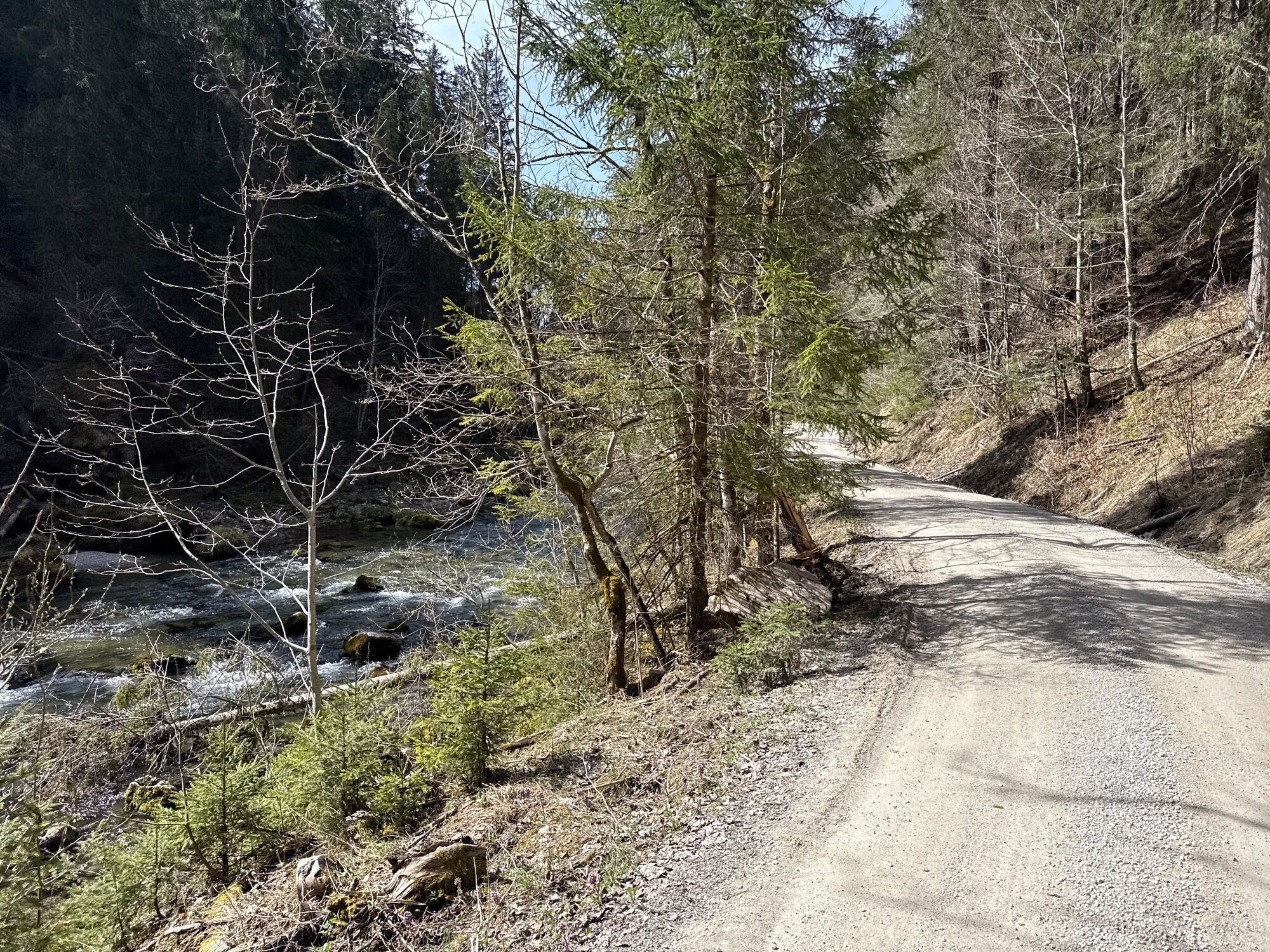
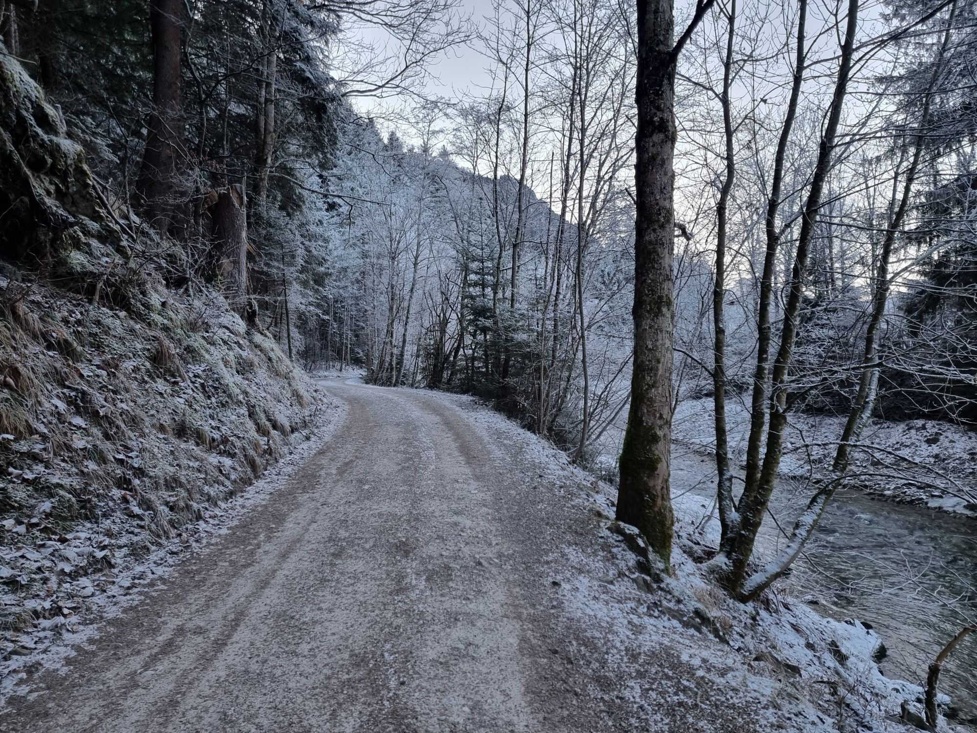
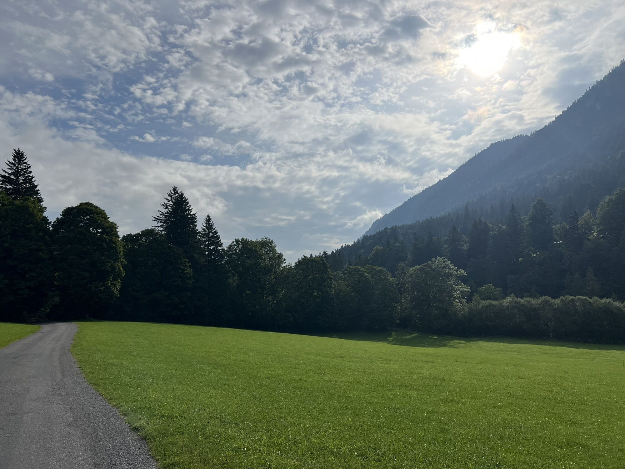
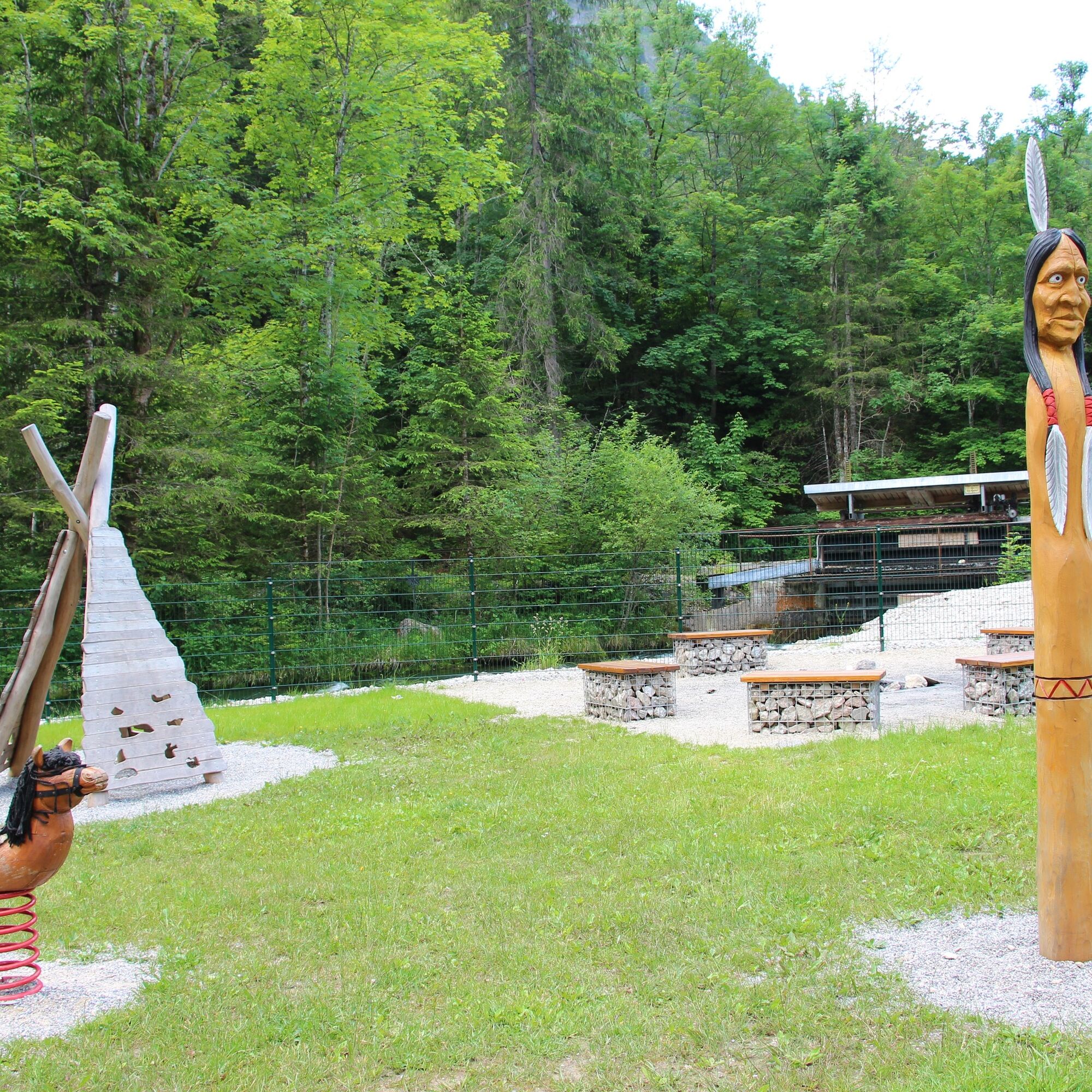
The route starts at the tennis hall in Pfronten-Ried. From there, you follow the course of the Vils at all times. Behind the Vilstalsäge guesthouse is the Indian playground, offering an opportunity for a first stop. Between wigwams and a large climbing horse, there is enough space to romp around.
From here on, the path is completely car-free. Further along the Vils, there are many opportunities to dangle your feet in the cool water before you finally arrive at the quiet Kalbelehof Alpe and can listen to the cowbells while enjoying a refreshing drink.

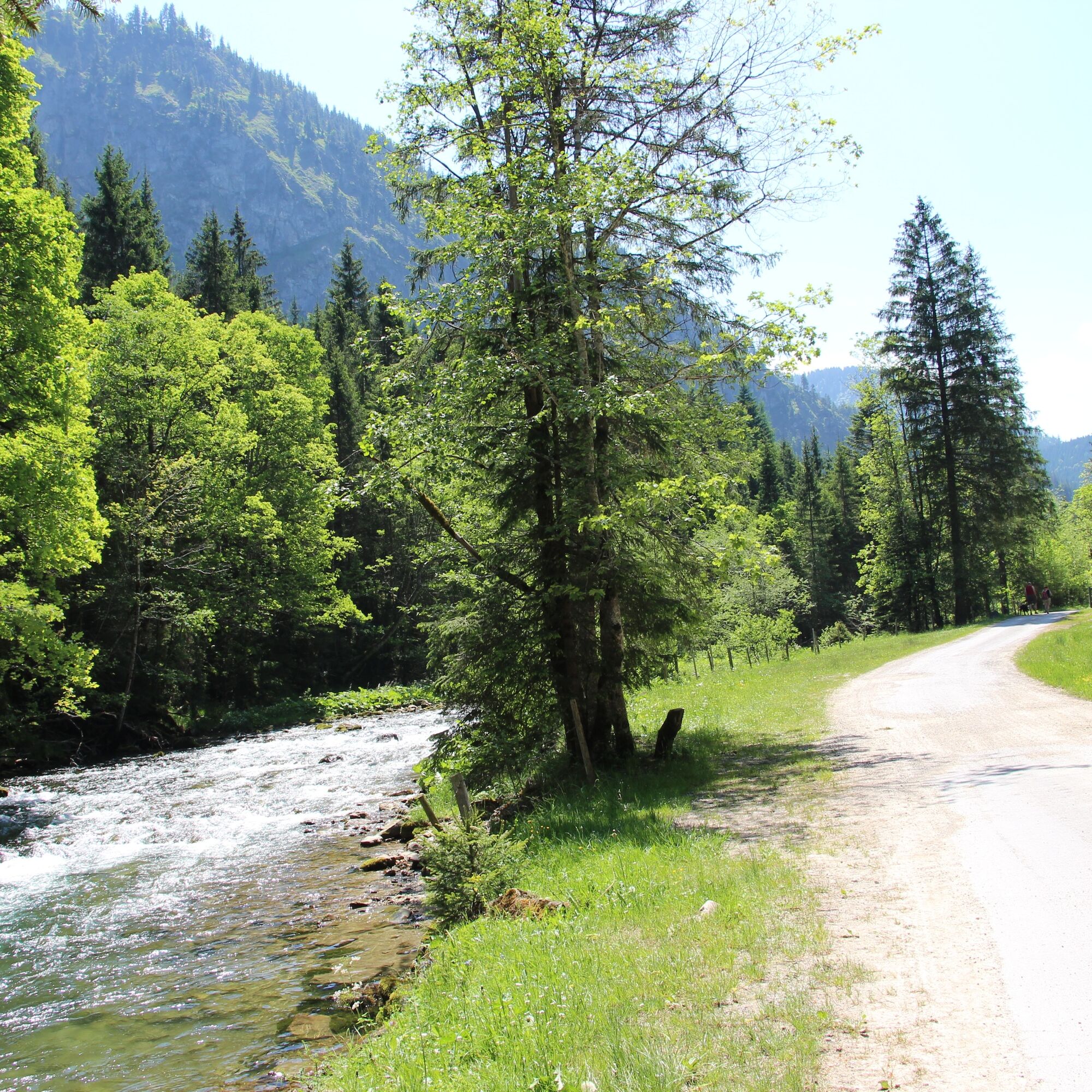
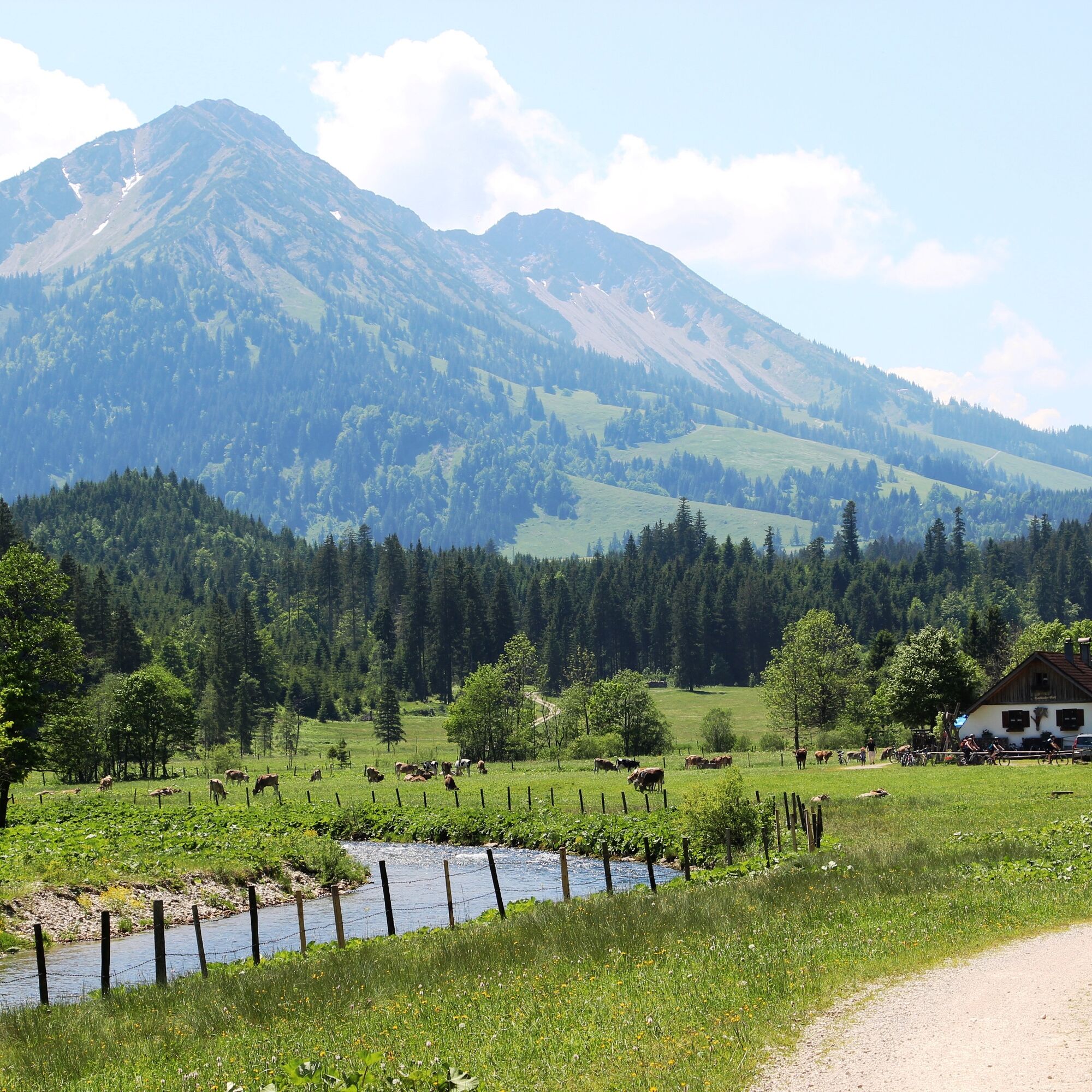
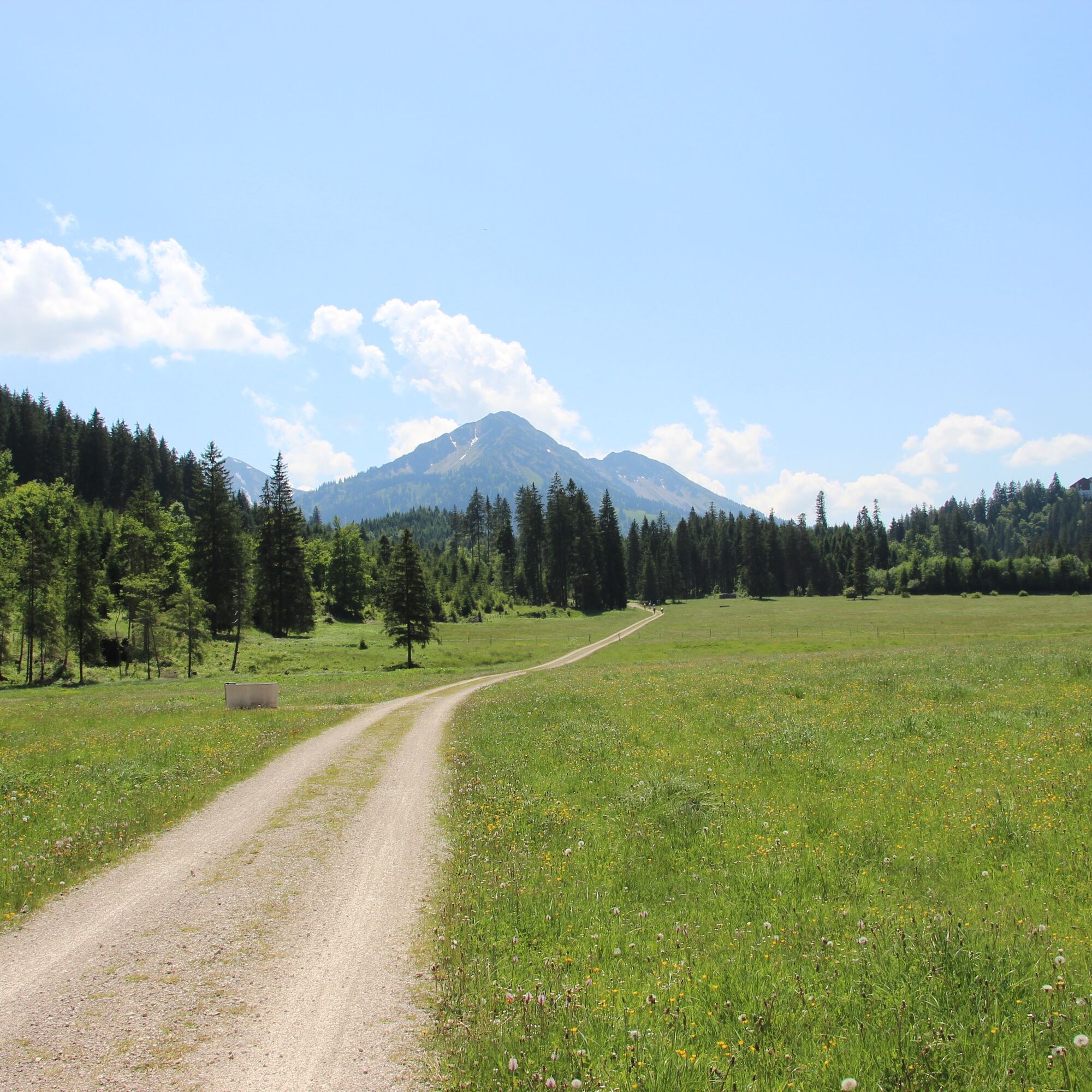
From the Pfronten tennis hall, follow the paved path into the Vils valley. Always along the sound of the Vils, which promises refreshment especially in summer, the path leads you to the Vilstalsäge, from where the forest road leads to the Kalbelehof Alpe.
Tak
A helmet, a rucksack with provisions, and a rain jacket or sun protection depending on the weather are recommended.
B309 - Vilstalstraße
Public transport to Pfronten-Ried and from there on foot to the Pfronten tennis hall.
Parking spaces are available at the Pfronten tennis hall.
1
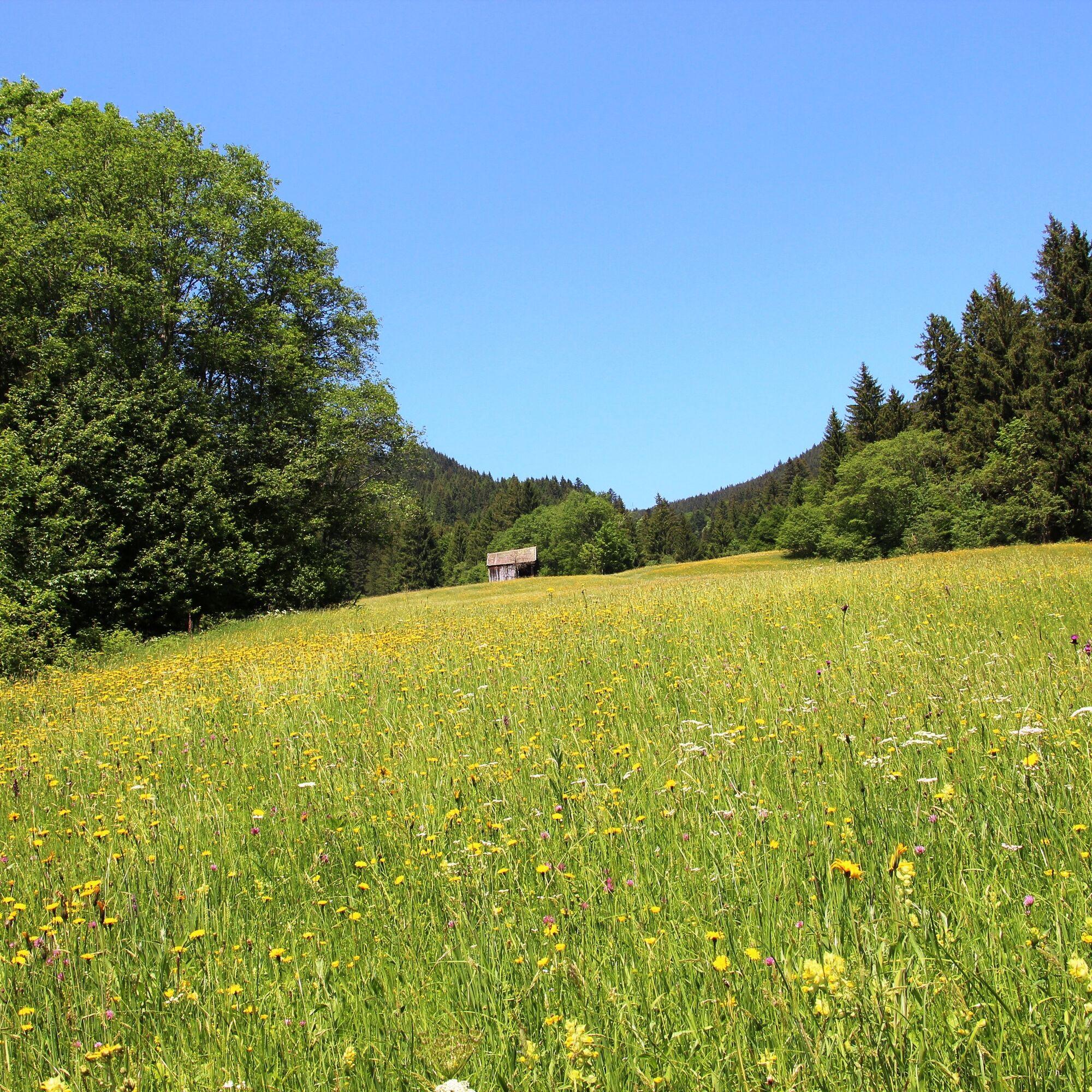
In the summer months, the alpine hut is managed and invites you to a cozy stopover.
Kamery internetowe z trasy
-
Zöblen
-
Skizentrum Steinach / Pfronten
-
Breitenberg Bergstation
-
Kesselmoos und Hochalpbahn
-
Pfronten-Halden / Hotel Zugspitzblick
-
Burghotel Falkenstein im Allgäu
-
Alpspitzbahn Mittelstation Nesselwang
-
Ostlerhütte
-
Oberellegg - Wertach
-
Alpspitzbahn - Sportheim Böck
-
Obere Halde
-
Obere Halde
-
Obere Halde
-
Obere Halde
-
Obere Halde
-
Nesselwang - Alpspitzbahn Talstation
-
Breitenbergbahn - Pfronten
-
Pfronten - Skizentrum
-
Spieserlifte Unterjoch
-
Jungholz - Am Hof
Popularne wycieczki w okolicy
-
4,8
Around Weißensee
światłoWędrówka 6,12 km -
4,8
Tannheim / Vilsalpsee / Landsberger Hütte
średniWędrówka 15,7 km -
4,8
3-Gipfel-Tour
średniWędrówka 11,2 km -
5,0
Hiking tour to Breitenberg
ciężkiWędrówka 15,6 km -
3,8
Klassikertour: Auf den Grünten
ciężkiWędrówka 8,50 km -
5,0
Gemeinde Grän, Tirol/Österreich Aggenstein Rundtour über Höhenweg
średniWędrówka 9,84 km -
4,2
Three-lake route (awarded the Tyrolean Hiking Trail Seal of Quality)
średniWędrówka 14,8 km -
4,6
3-Seen Rundtour Vilsalpsee / Schrecksee / Traualpsee
średniWędrówka 17,1 km -
4,9
Iseler und Kühgundkopf
średniWędrówka 7,63 km -
4,4
Wanderung auf den grünten
średniWędrówka 8,31 km

Wędrówki i tropienie


Nie przegap ofert i inspiracji na następne wakacje
Twój adres e-mail została dodana do listy mailingowej.