


Munich Pilgrim's Way in the Fürstenfeldbruck district
The section between Olching and Grafrath covers 22 kilometers. We hike upstream through the Amper meadows. One stop at the Olching bird park, the next at the Mühlbach. The great advantage of this stretch...
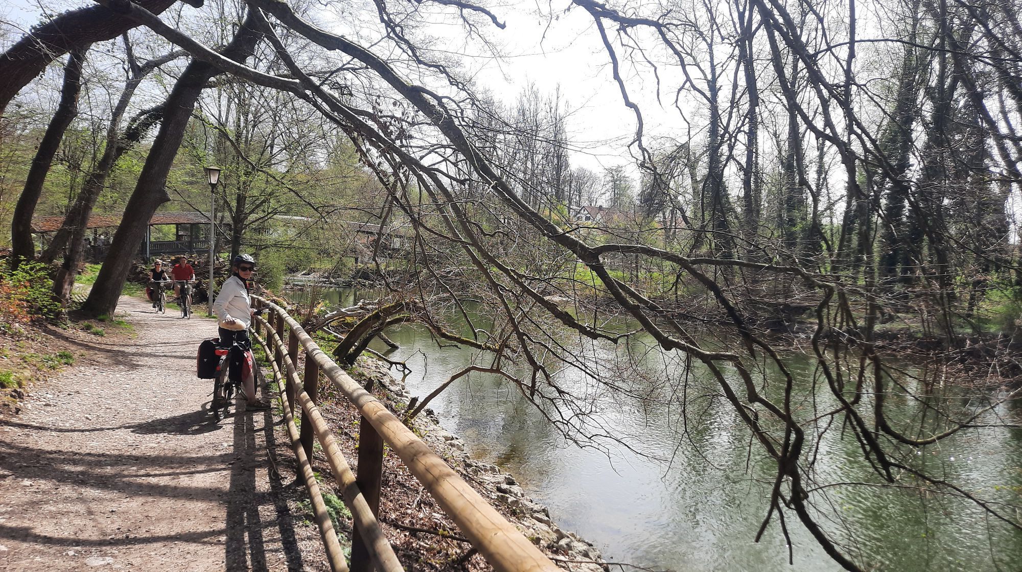
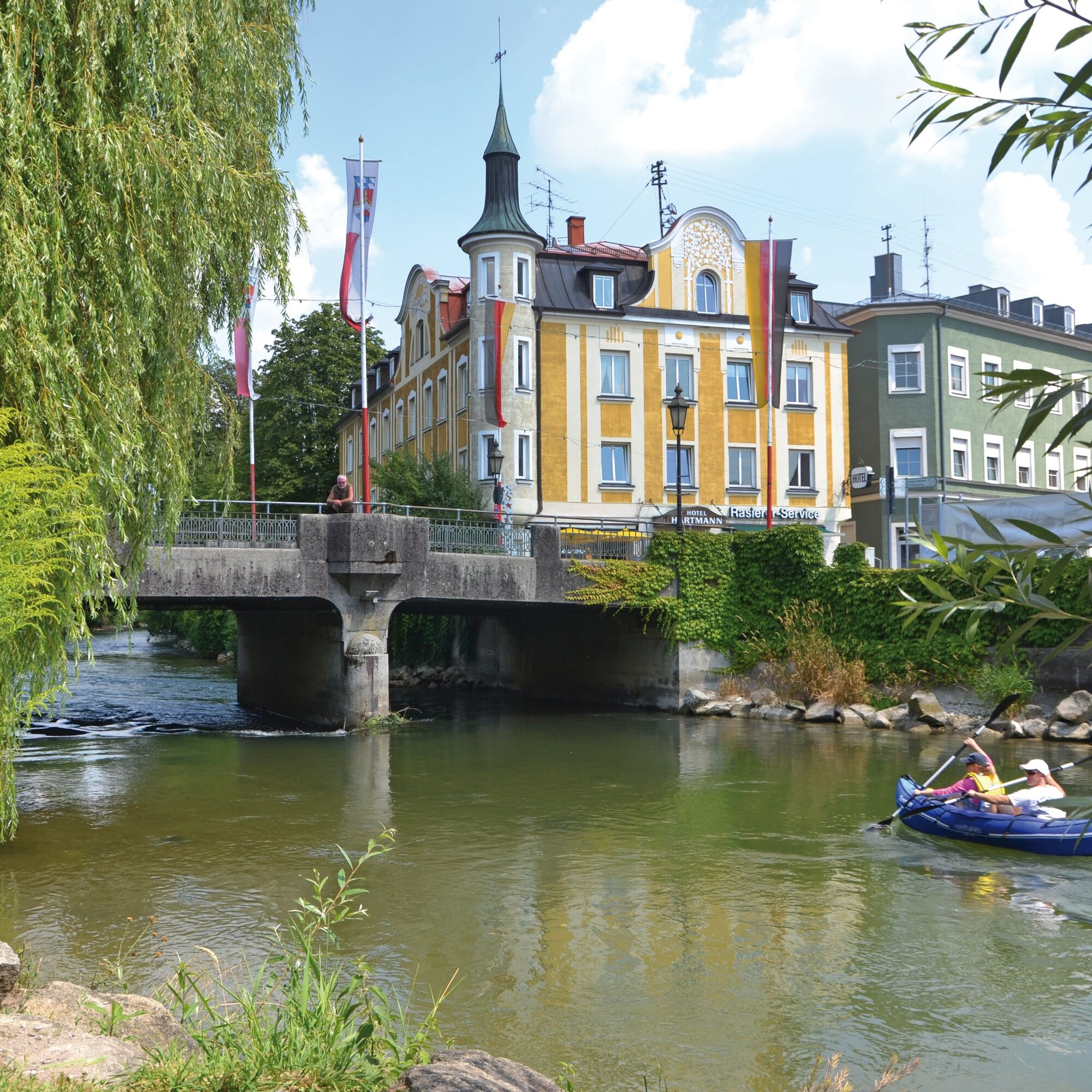
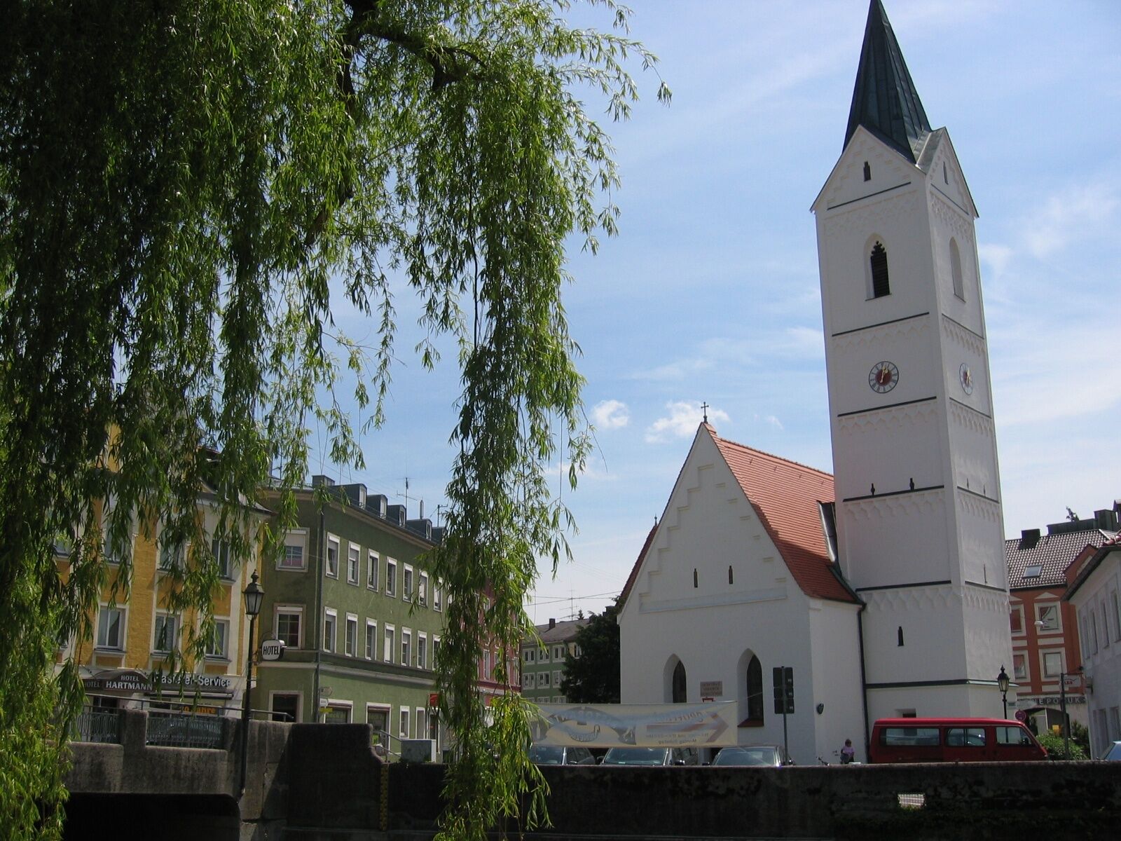
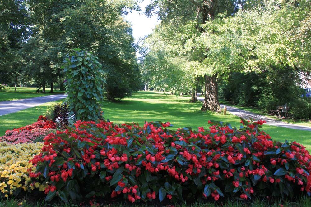
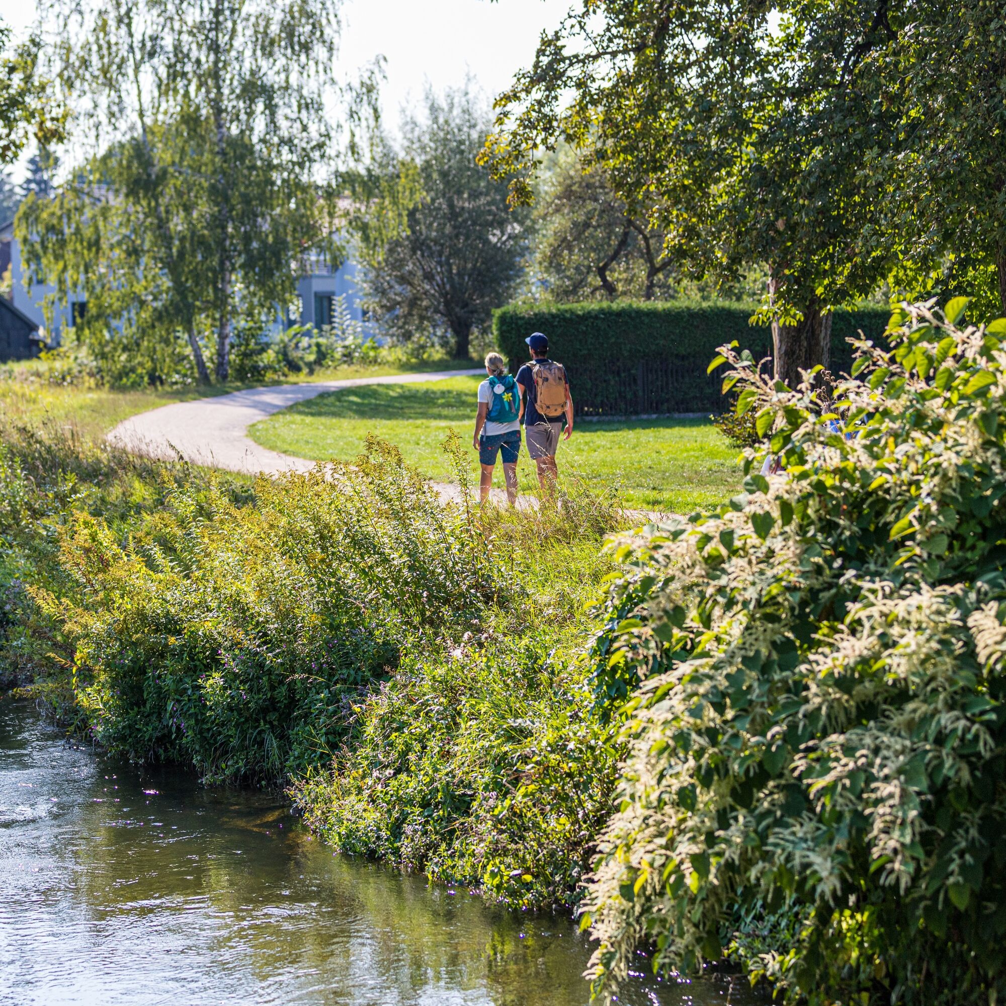
The section between Olching and Grafrath covers 22 kilometers. We hike upstream through the Amper meadows. One stop at the Olching bird park, the next at the Mühlbach. The great advantage of this stretch is that you walk along the river away from the towns. Esting lies on the right side, Emmering on the left after a few kilometers. The path sometimes leads across a meadow, then again to a resting place. Even the section through the district town of Fürstenfeldbruck runs quietly through parks or the green area of the Fürstenfeld monastery. Respectfully, one looks up at the impressive church. Next door, one of the beer gardens awaits with refreshments for the next section. Particularly picturesque are the Amper meadows with Leiten forests up to Schöngeising. On the way to Grafrath, you leave the river for the first time, but can enjoy an extensive forest area. In Grafrath, the Amper is crossed twice, and then southwards. Even in the finale, we hike on quiet double tracks through forest and meadows. A great route!


Tak
Packing a backpack properly makes many things easier: Pack heavy items first. All items that are frequently needed belong on top.
Always wear weather-appropriate, functional clothing that protects you from cold and wet, or heat and sun.
Take enough fluids and an emergency muesli bar on the hike.
Sun protection for skin and head is an indispensable companion on summer hikes.
A mobile phone for emergencies never harms!
Don’t forget a blister plaster just in case!
Plan enough breaks for longer stages and use your energy sparingly.
Please wear appropriate shoes for the route that provide sufficient support, even on uneven paths.
Especially in autumn and winter, fallen leaves on the ground can conceal possible unevenness, roots, stones, or holes on the path.
To get to Olching, take the A8 and exit 78 - Dachau/Fürstenfeldbruck.
The following S-Bahn stops are located on this section of the Munich Pilgrim's Way:
S3 stop "Olching" S3 stop "Esting" S4 stop "Fürstenfeldbruck" S4 stop "Schöngeising" S4 stop "Grafrath"This way you can easily shorten the route or do sections as day routes.
Free parking is available at the Volksfestplatz Olching.
If you want to start the route from Fürstenfeldbruck, you can park for free at the monastery area Fürstenfeld.
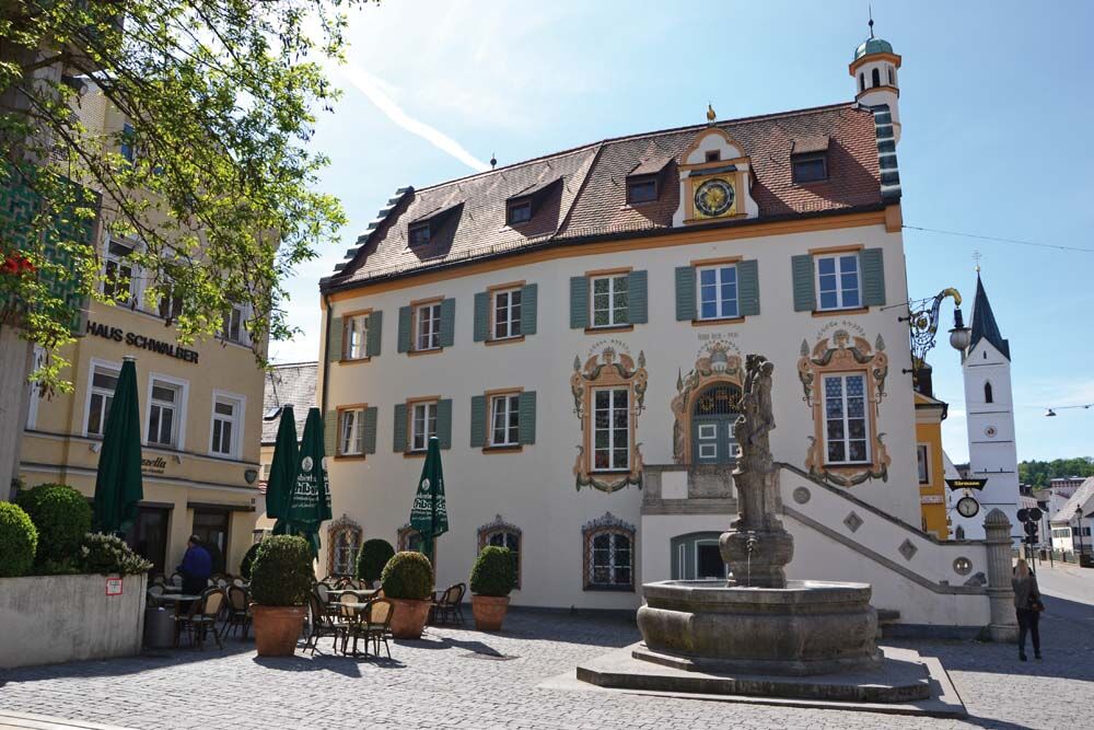
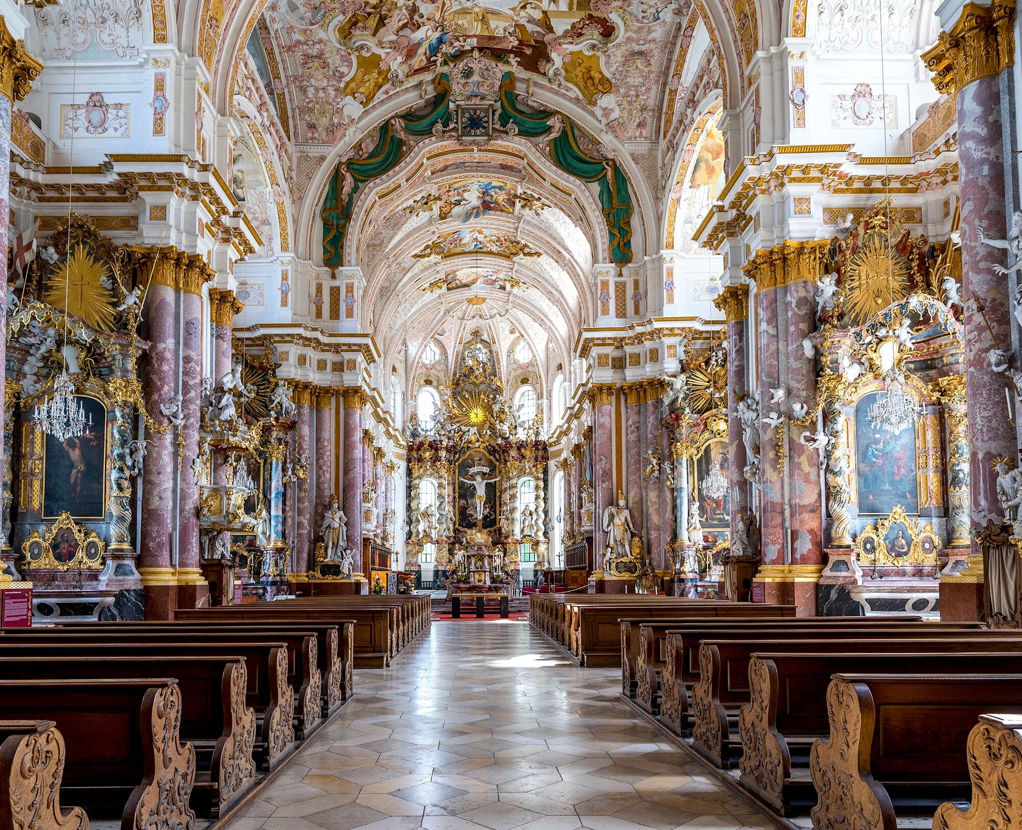
A visit to the former monastery church in Fürstenfeldbruck should not be missed on the pilgrimage. It is one of the main works of Baroque art in Bavaria.
Popularne wycieczki w okolicy
-
3,8
Wörthsee-11-km
światłoWędrówka 11,1 km -
5,0
Von Schondorf nach Herrsching
średniWędrówka 18,2 km -
Rundkurs Wörthsee - von Inning am Ammersee, Bayern
światłoJazda na rowerze 16,4 km -
4,0
Water Bike Tour: WATER + POWER
średniJazda na rowerze 45,0 km -
Entlang der Amperschlucht nach Fürstenfeldbruck
średniWędrówka 13,1 km -
Munich-Augsburg bike path (MAR)
średniKolarstwo długodystansowe 82,3 km -
Long-distance cycle route - Ammer Amper Cycle Route
ciężkiKolarstwo długodystansowe 202,6 km -
Water Cycling Tour: WATER + ROBBER
średniJazda na rowerze 38,6 km -
Water cycle tour: WATER + ROMAN
średniJazda na rowerze 27,6 km -
Water Bike Route: WATER + MOOR
średniJazda na rowerze 43,8 km
Wędrówki i tropienie


Nie przegap ofert i inspiracji na następne wakacje
Twój adres e-mail została dodana do listy mailingowej.