







Through Leckner Valley
Poziom trudności: S1
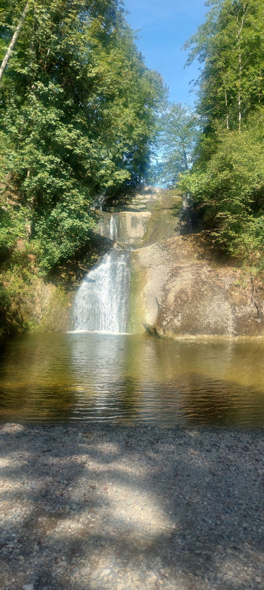
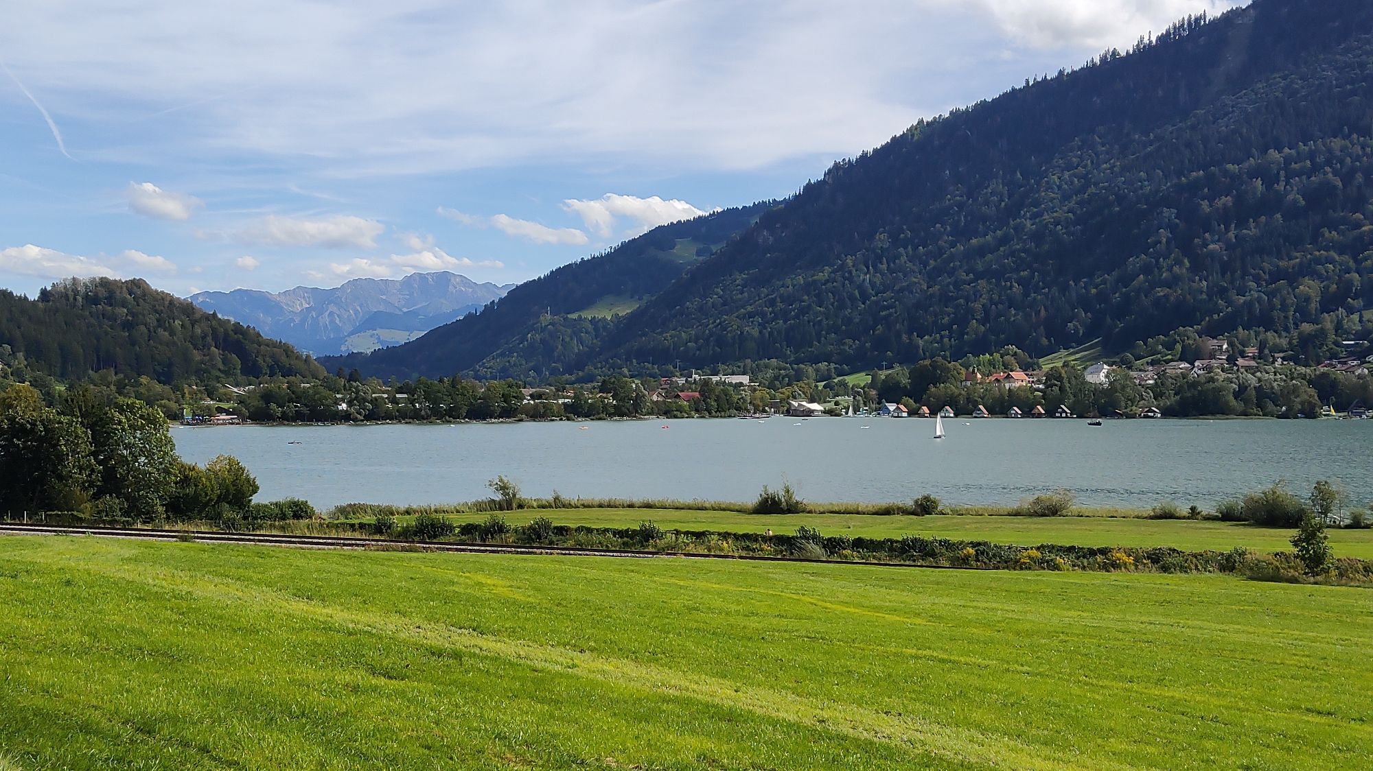
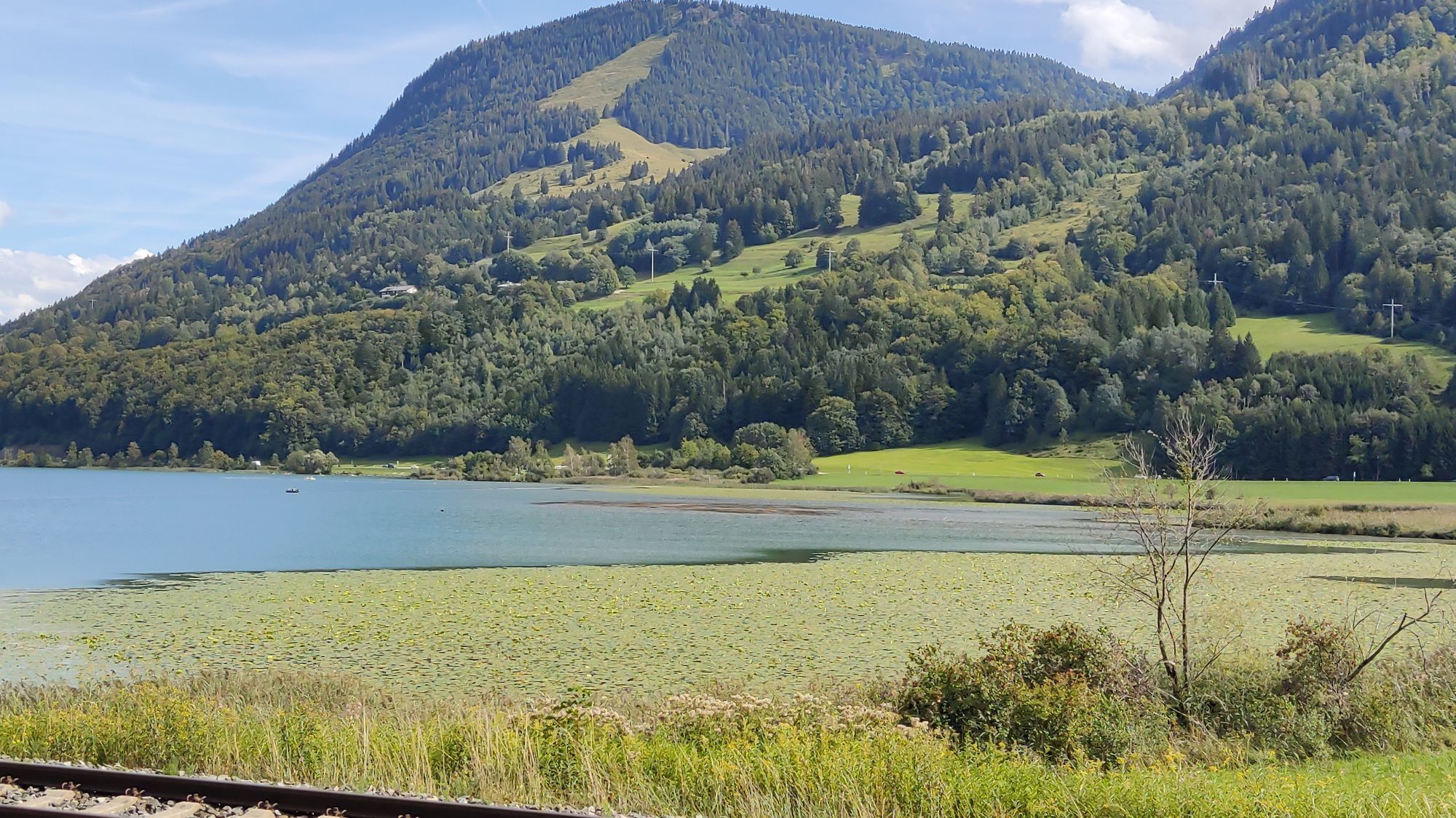
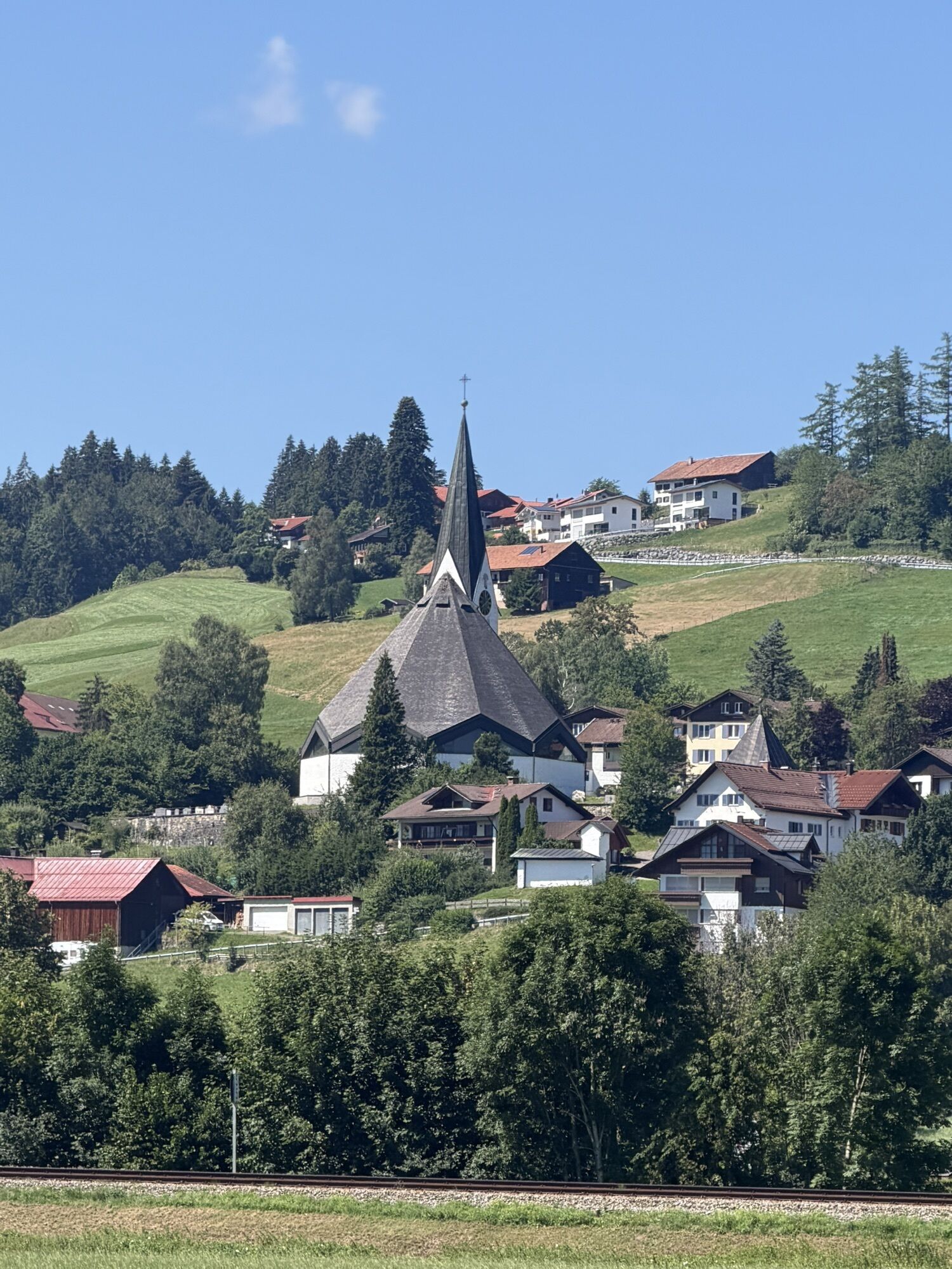
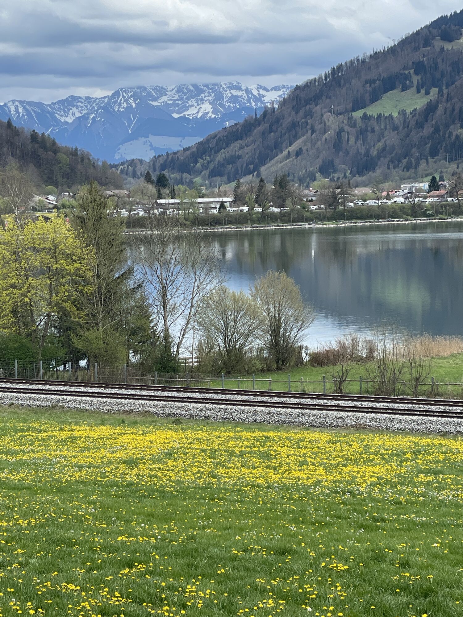
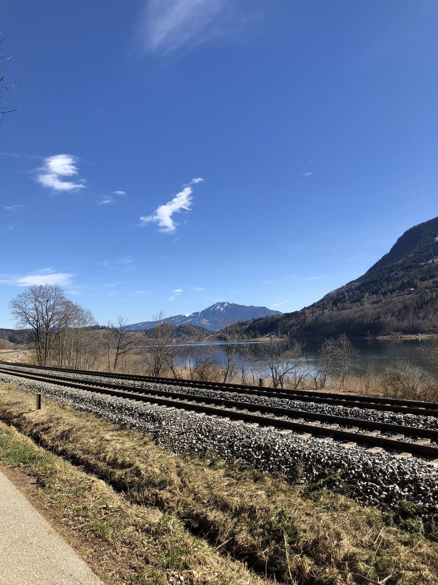
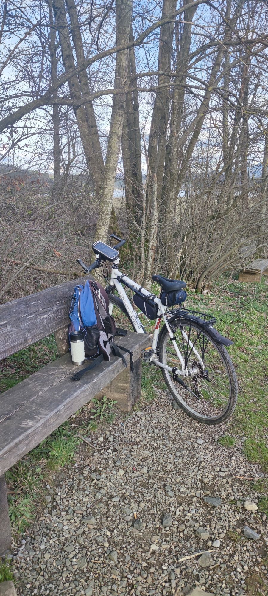
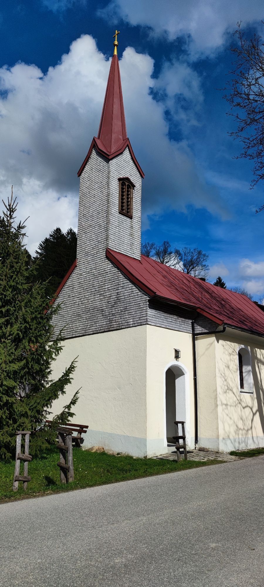
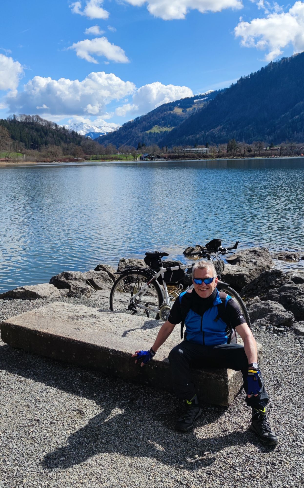
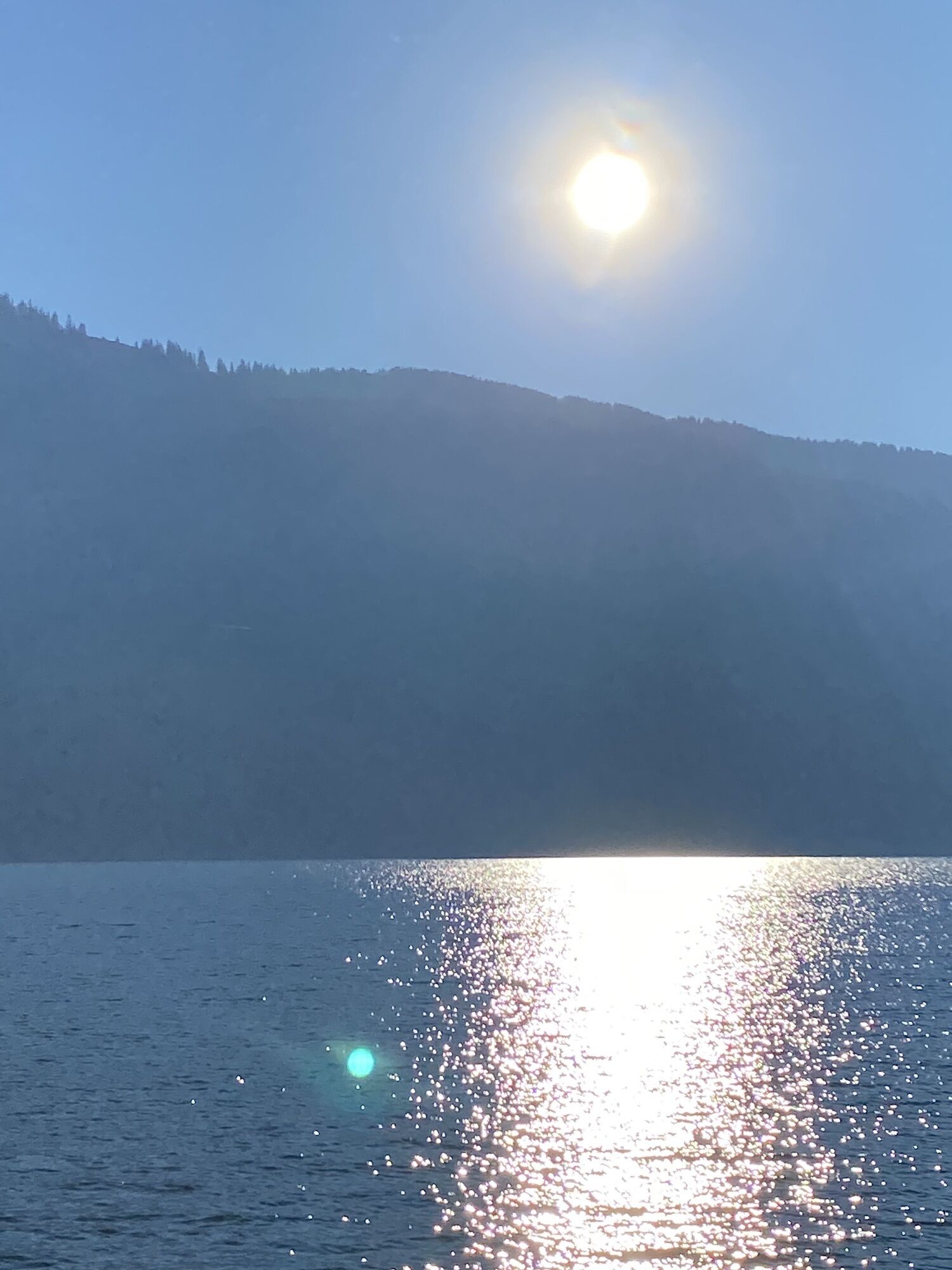
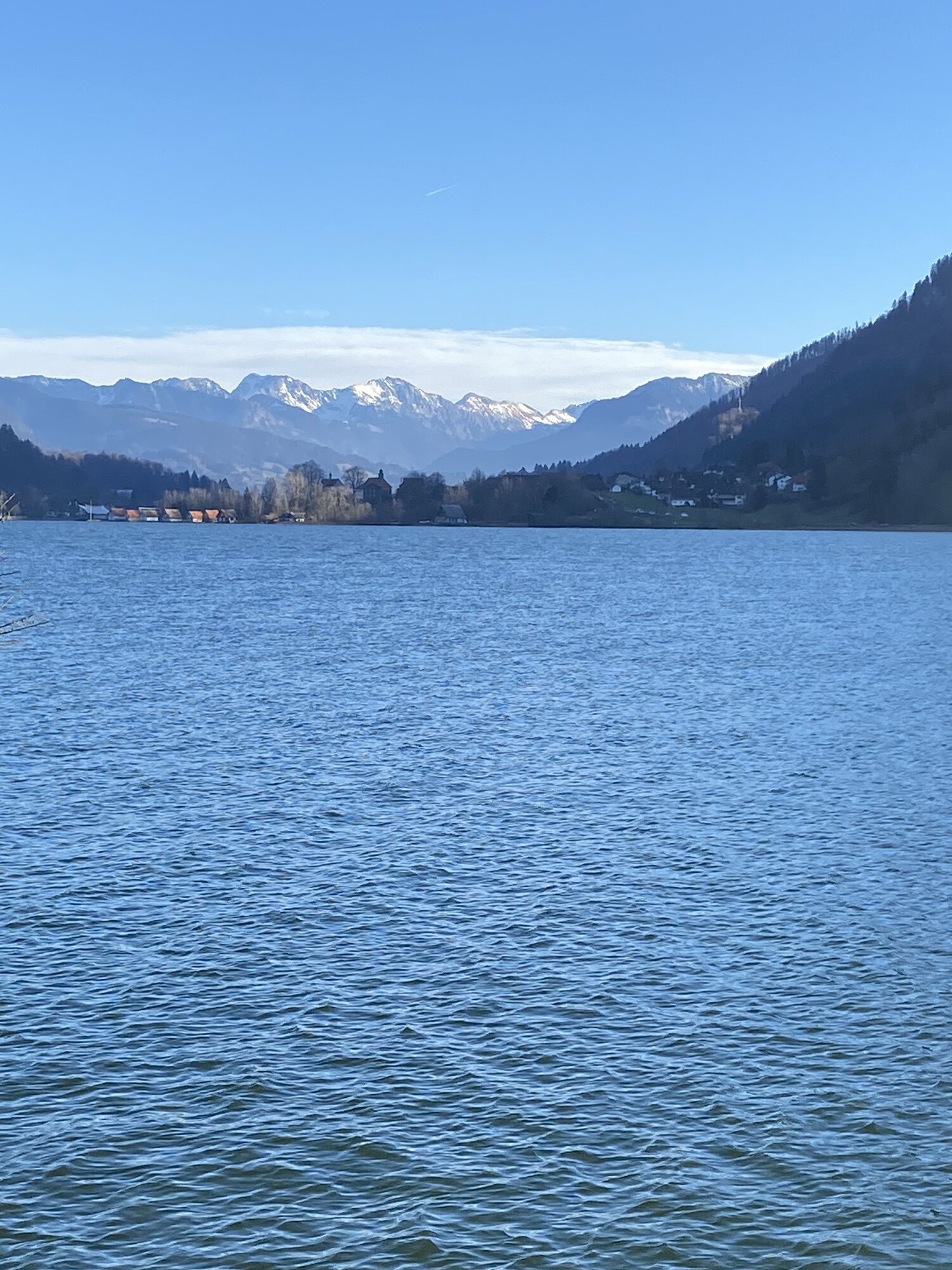
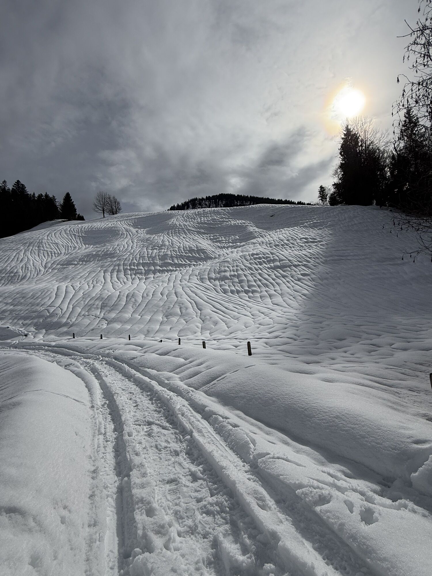
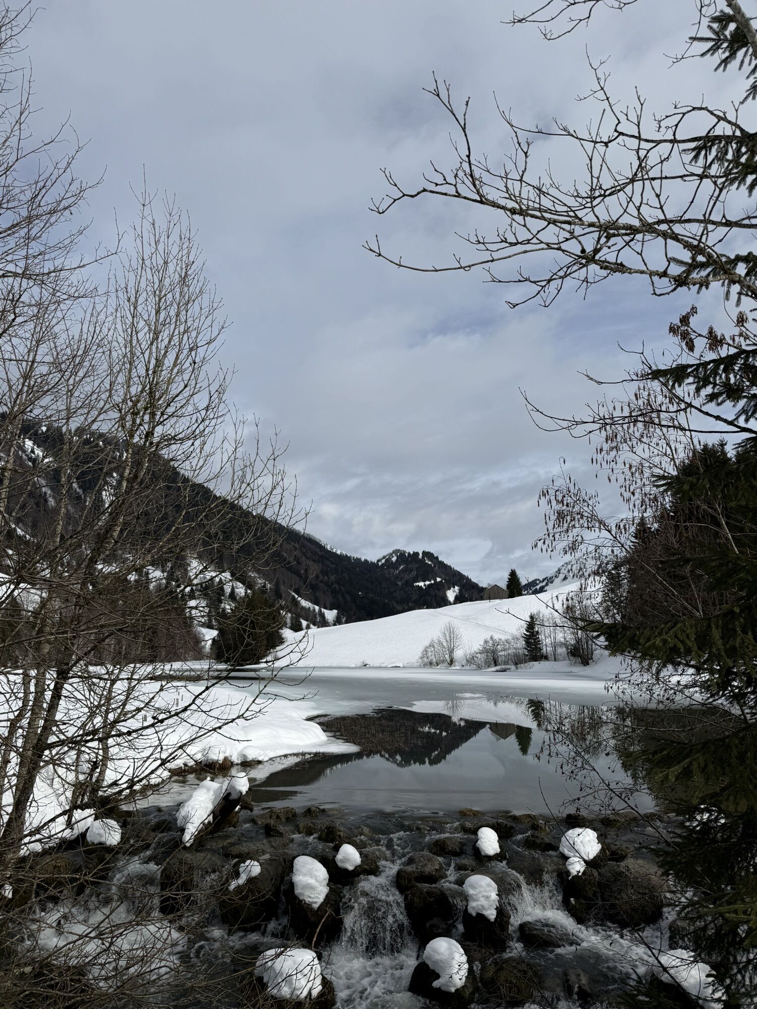
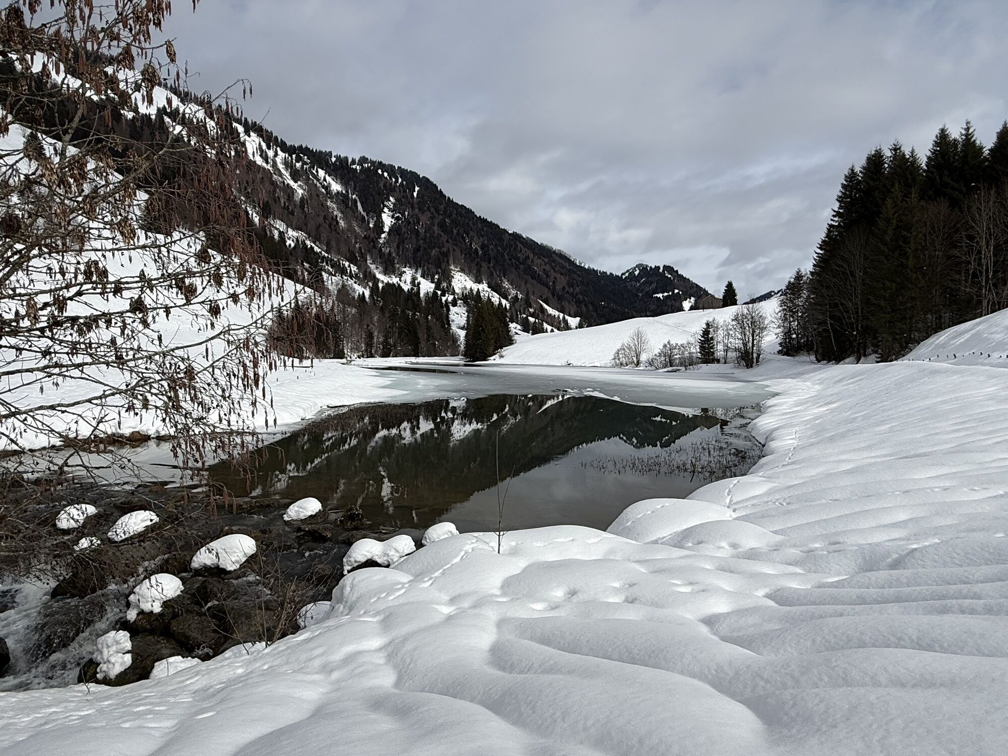
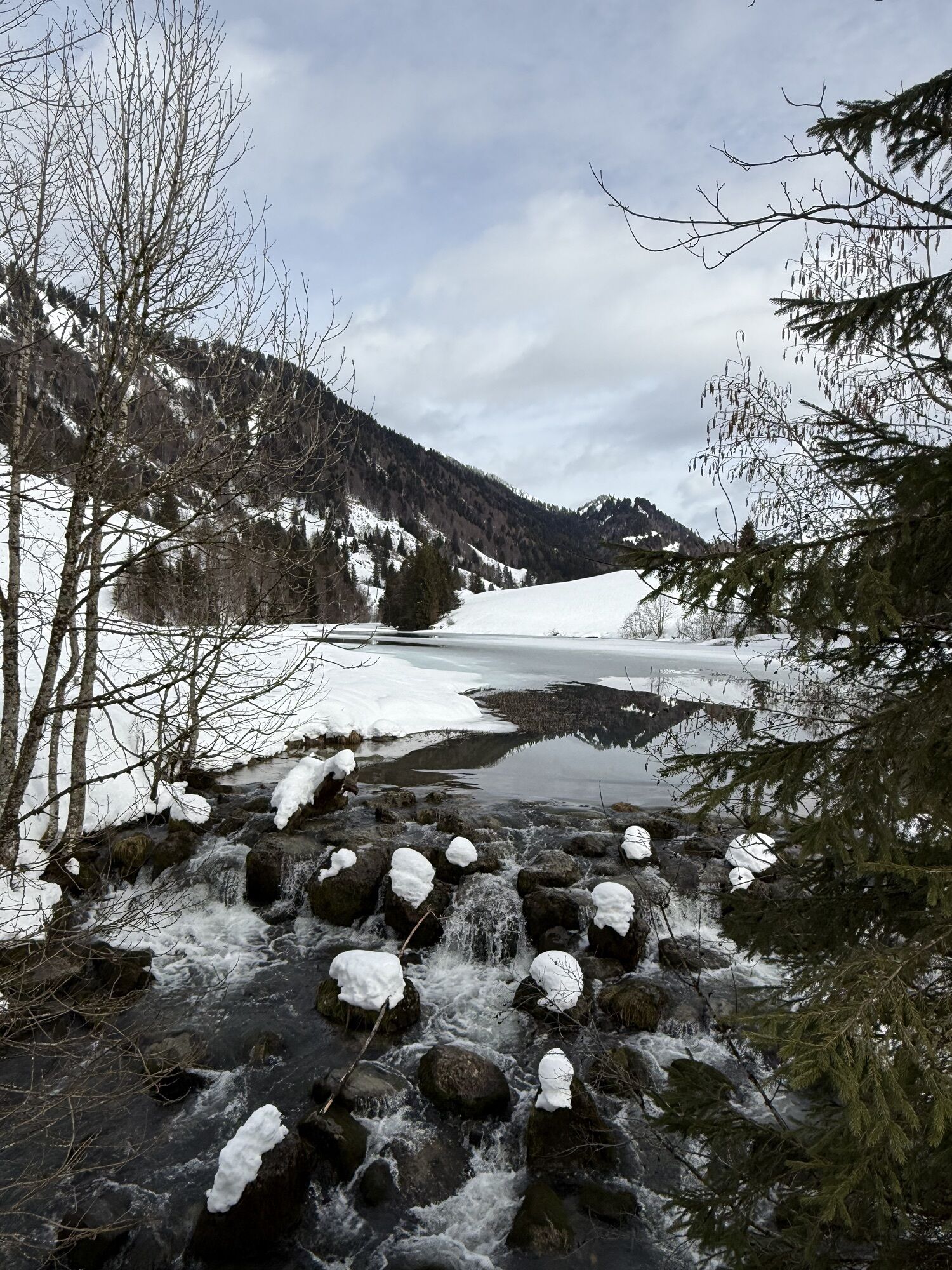
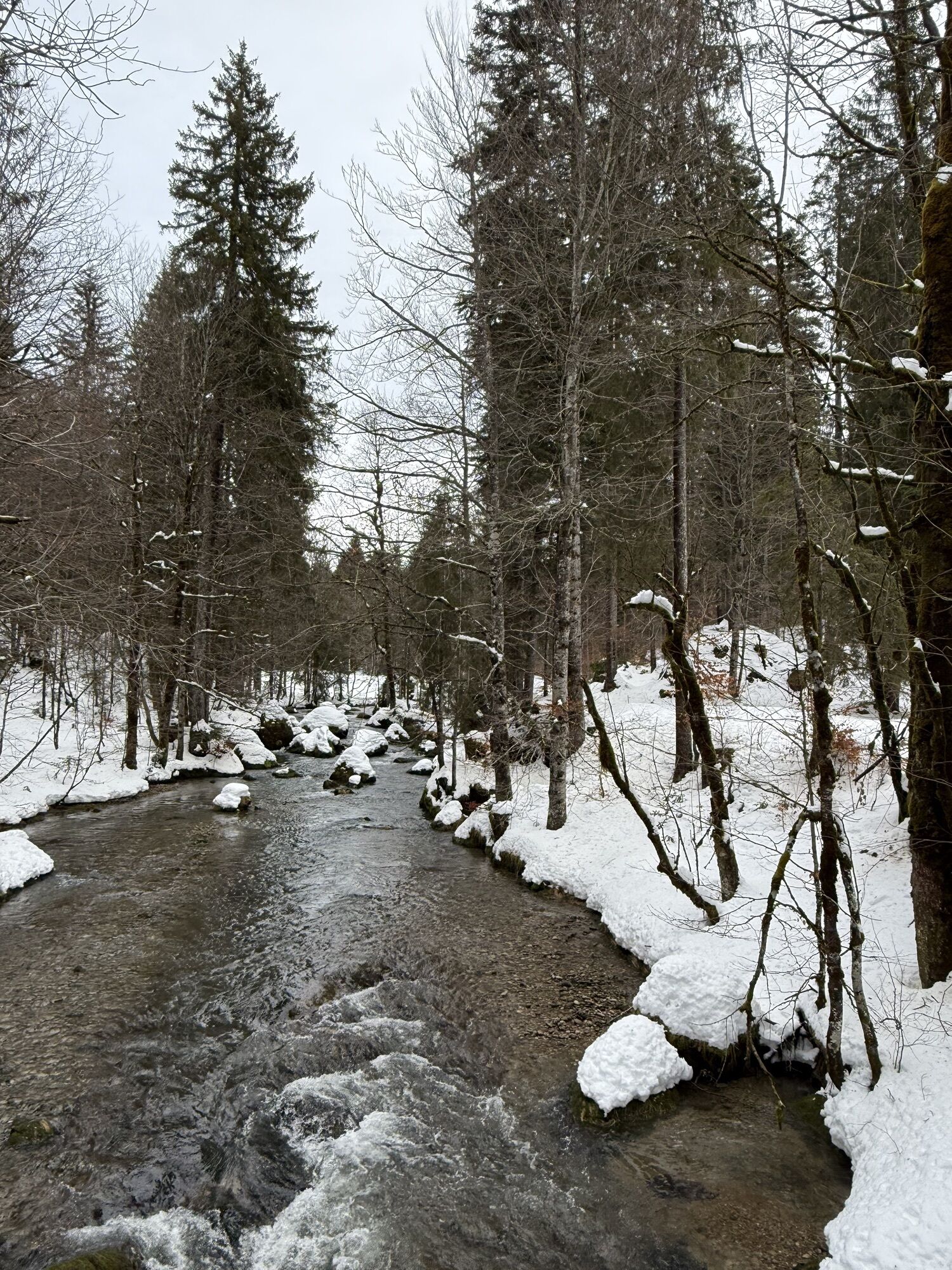
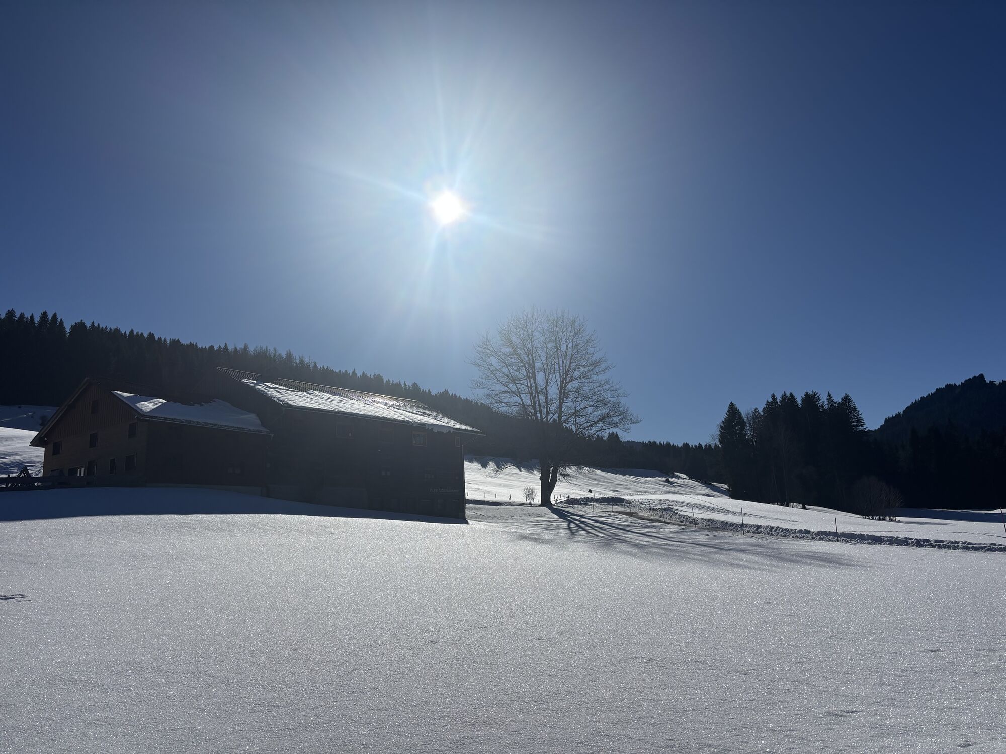
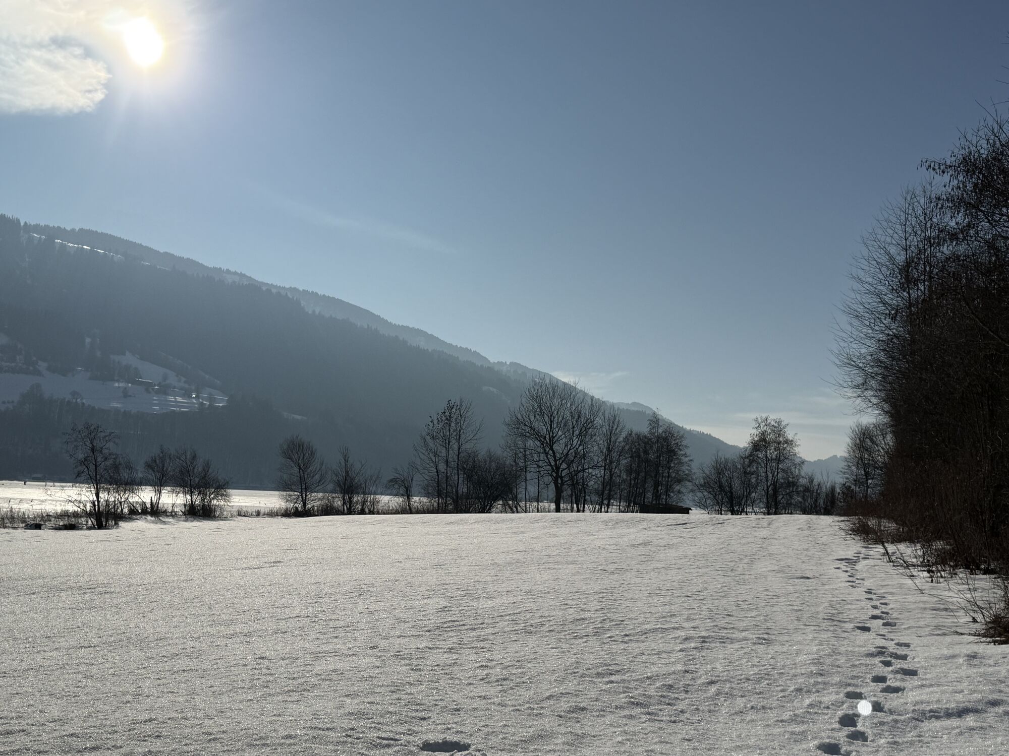
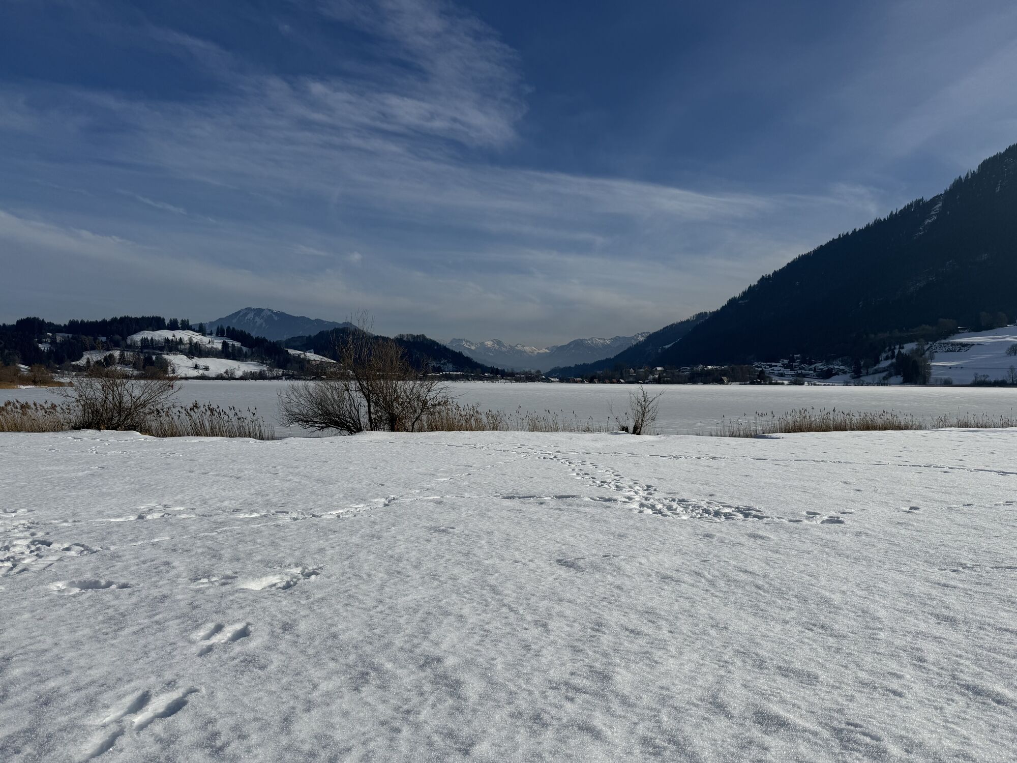
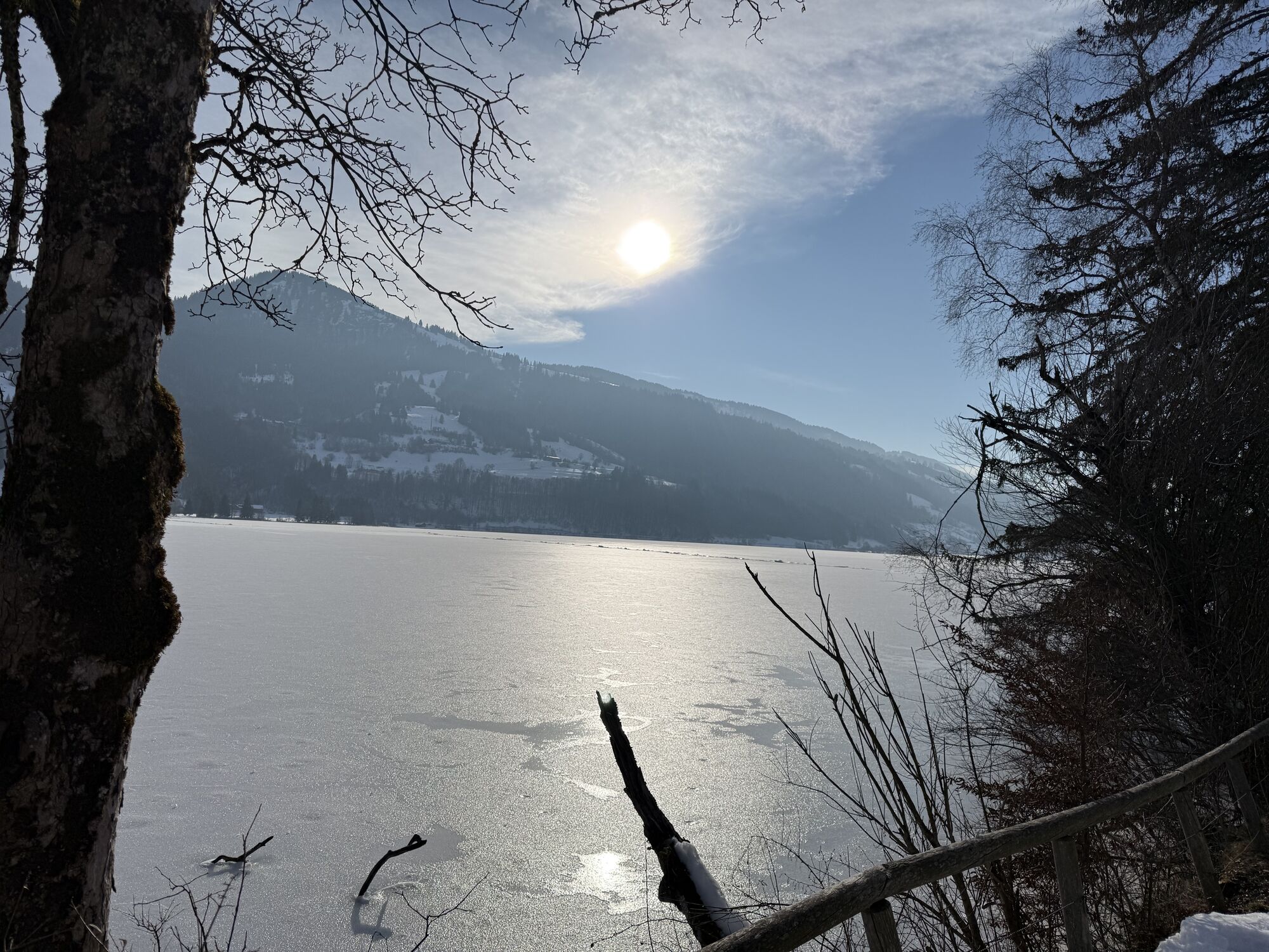
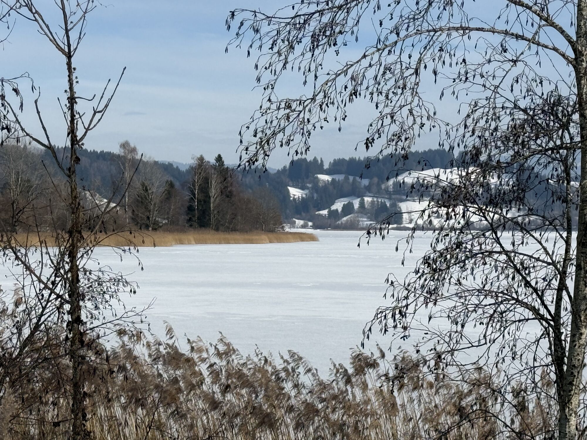
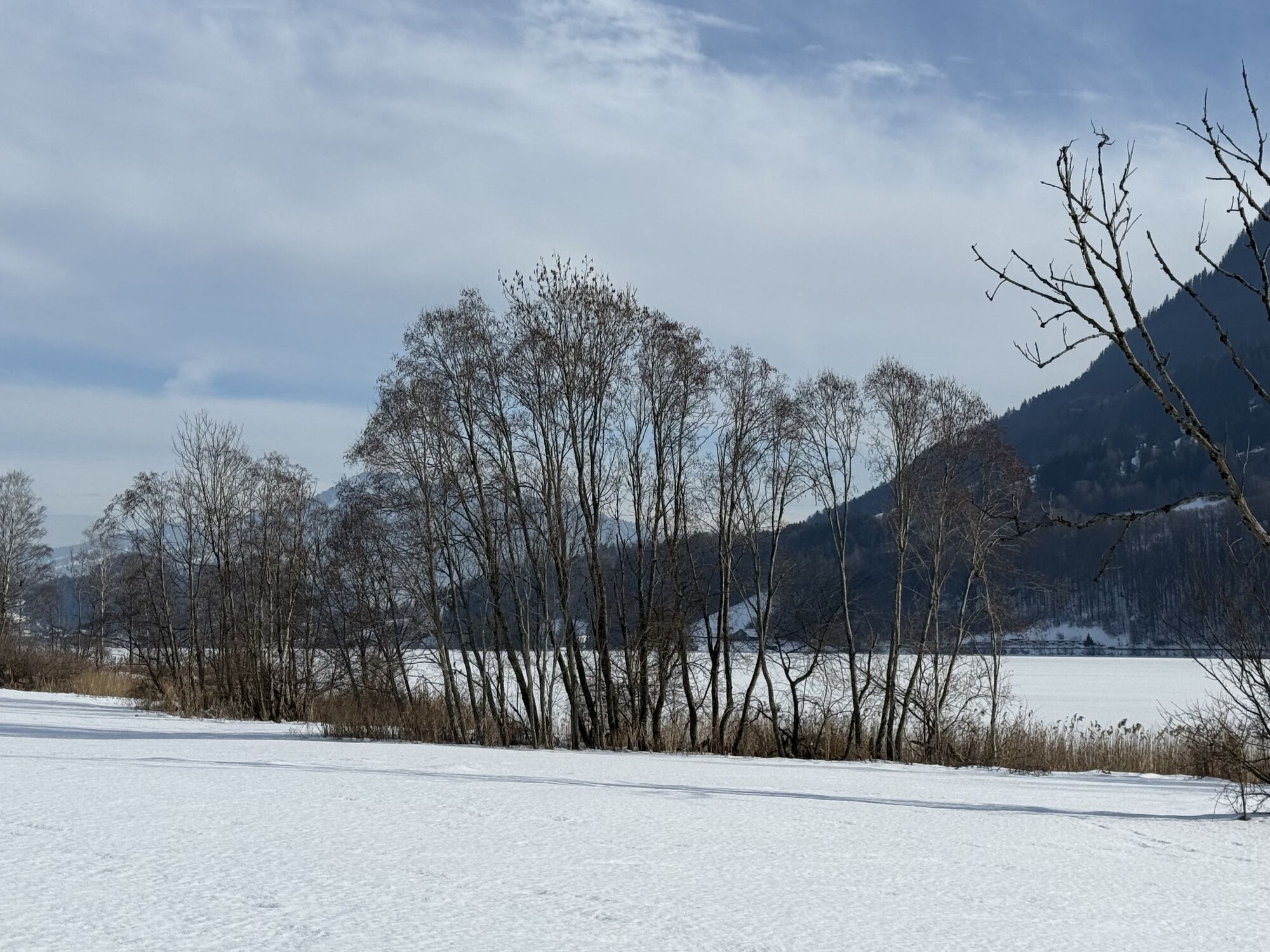
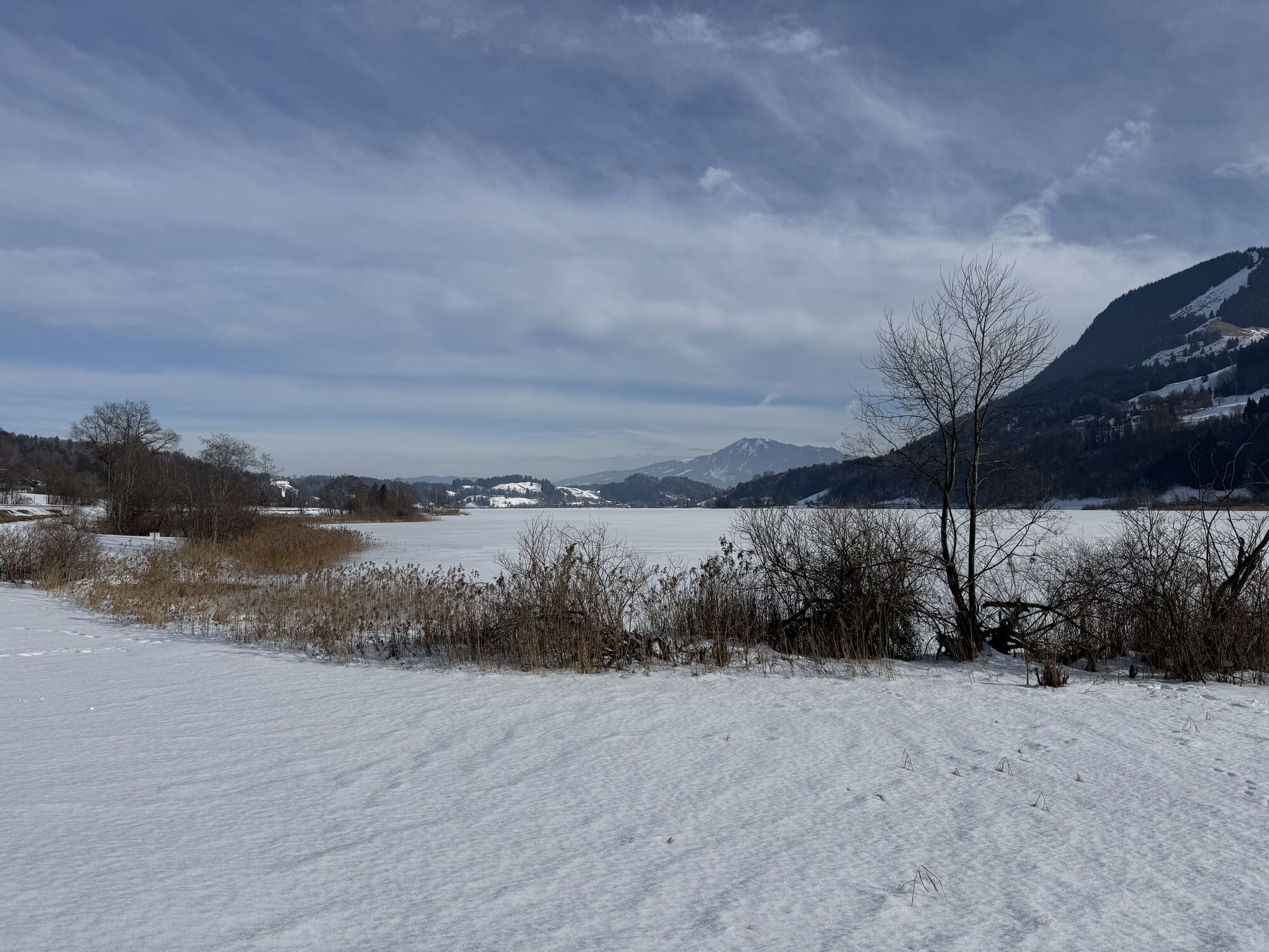
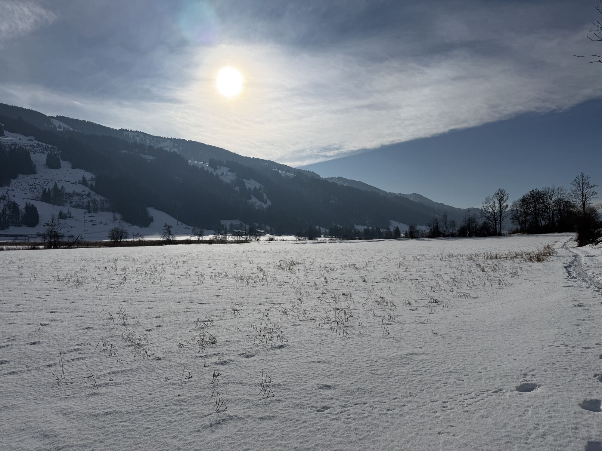
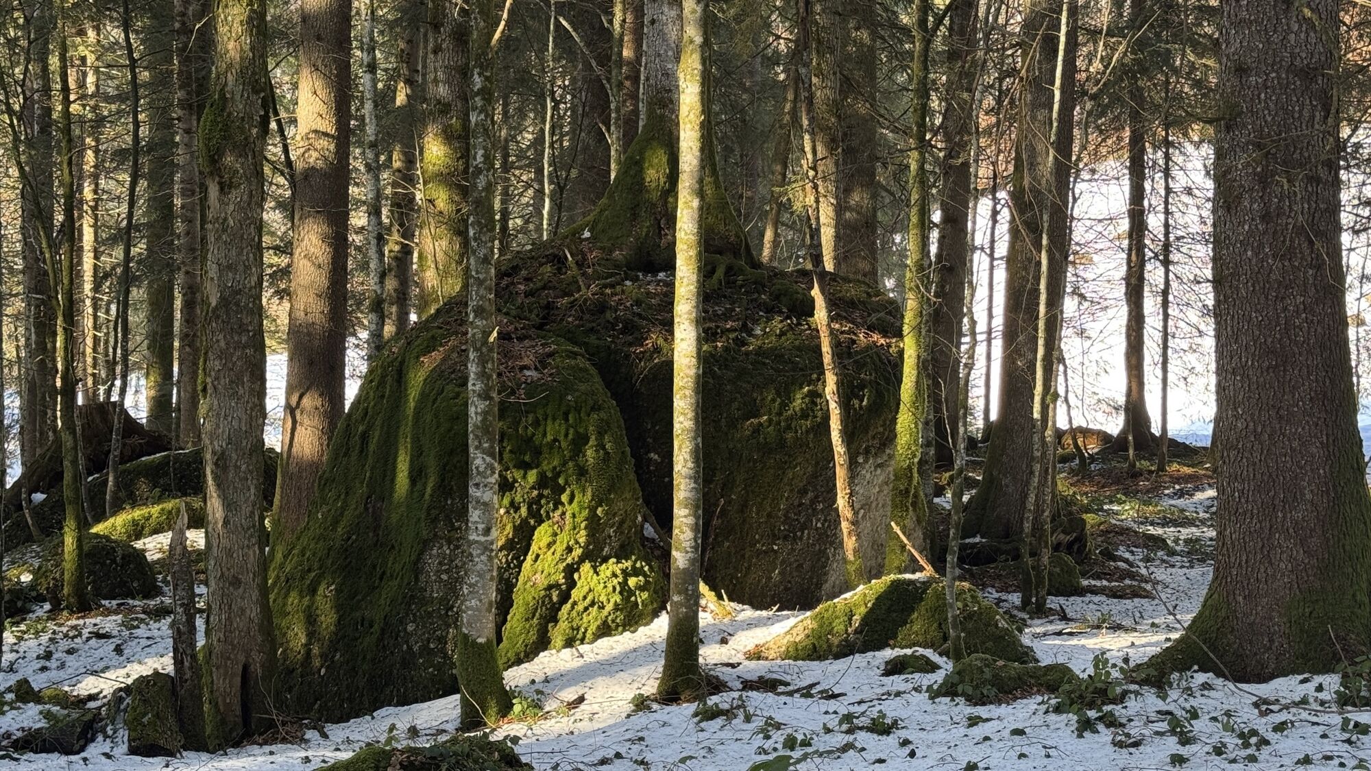
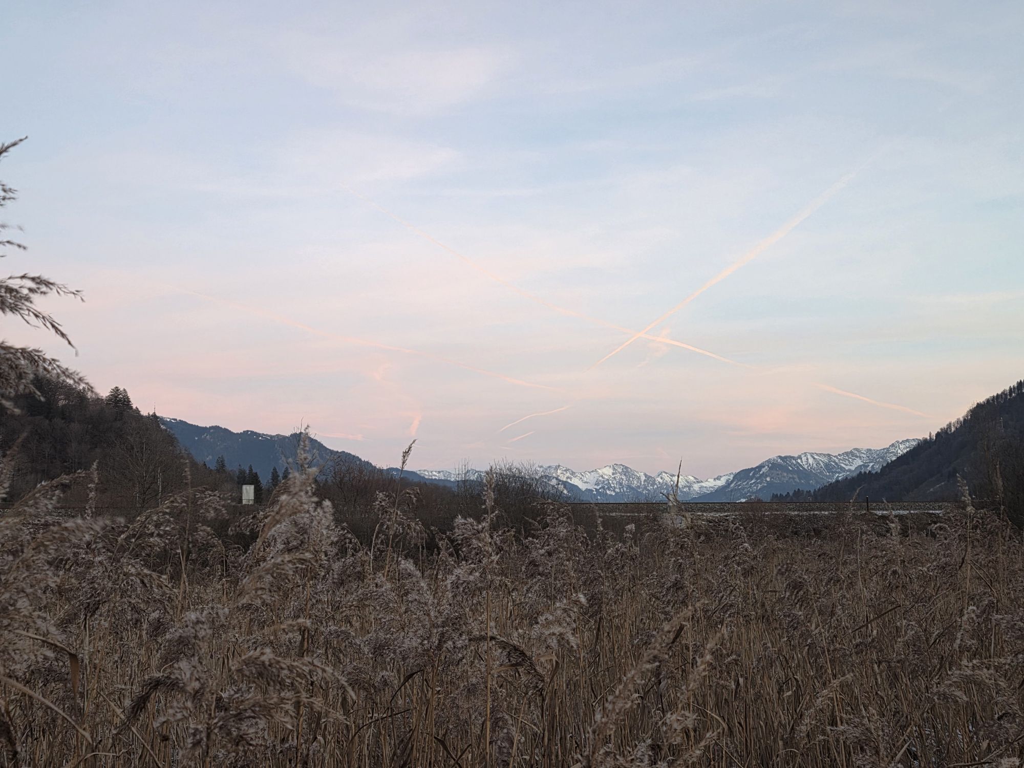
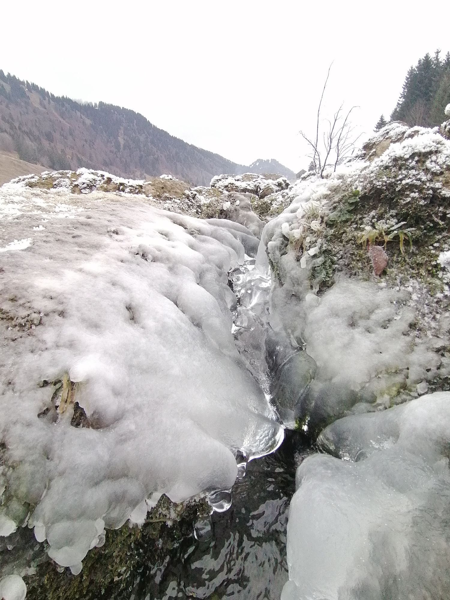
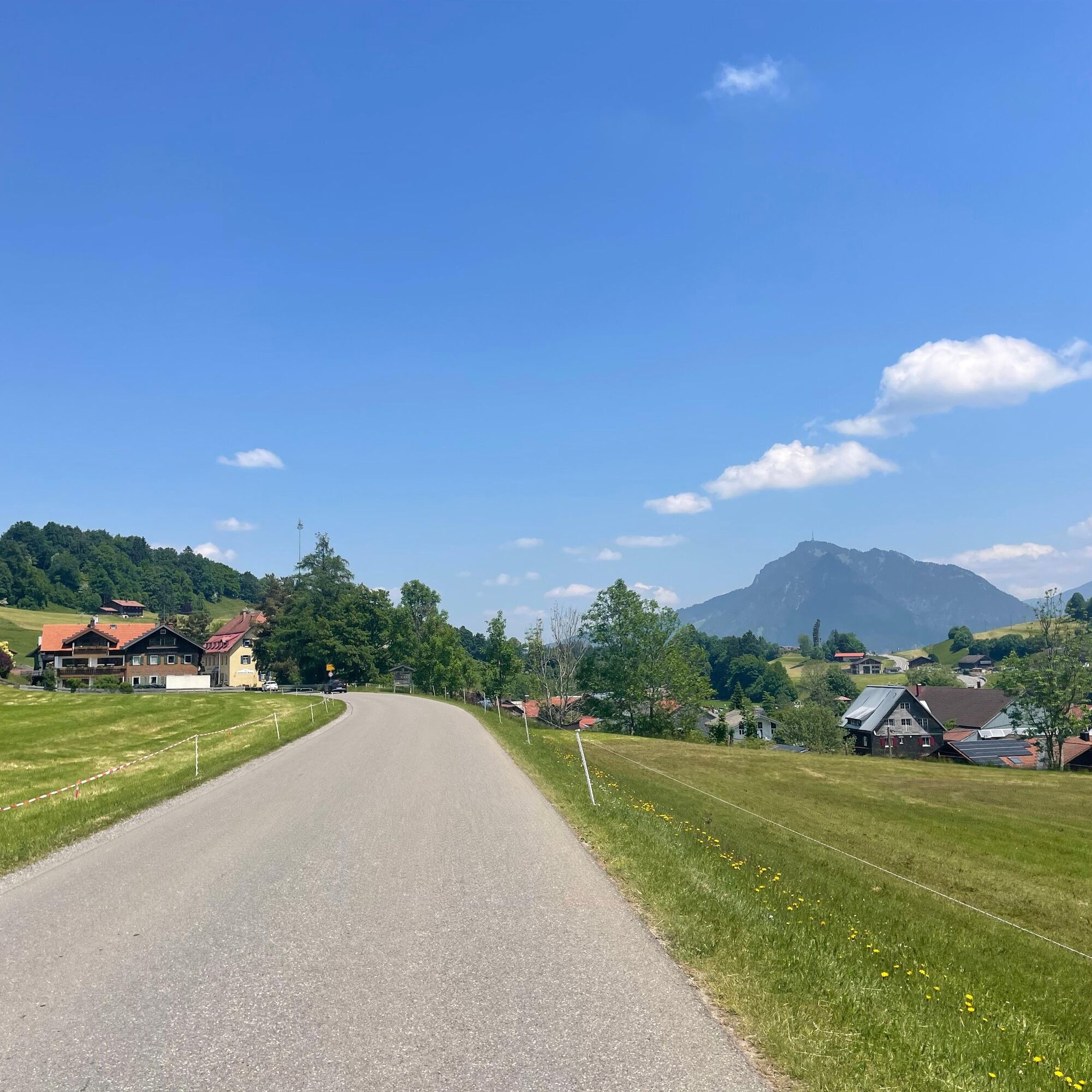
From Oberstaufen train station it goes along the district Weißach following the river of the same name until just before Eibele. Then to Aach and immediately after the former border crossing the old road...
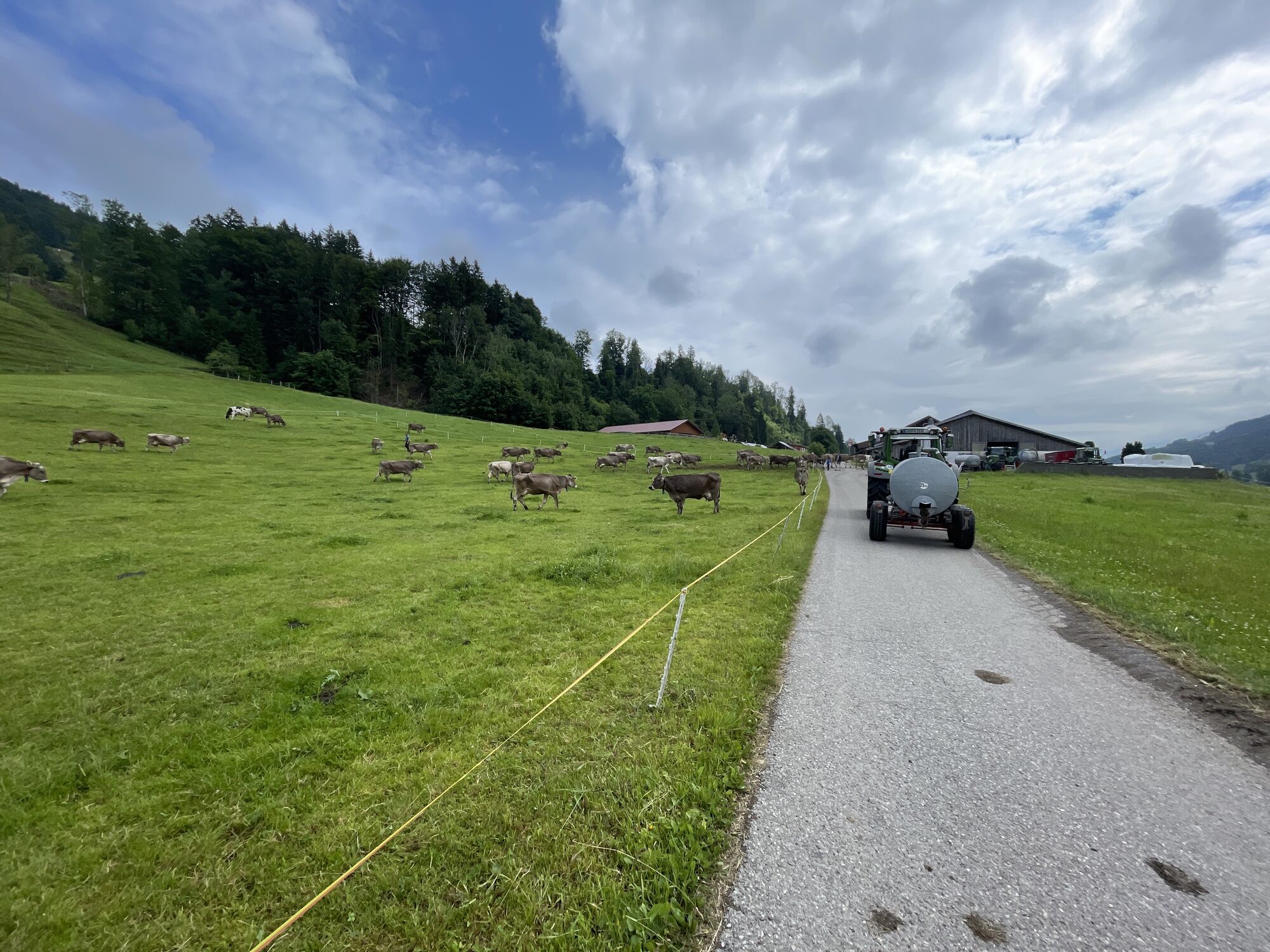
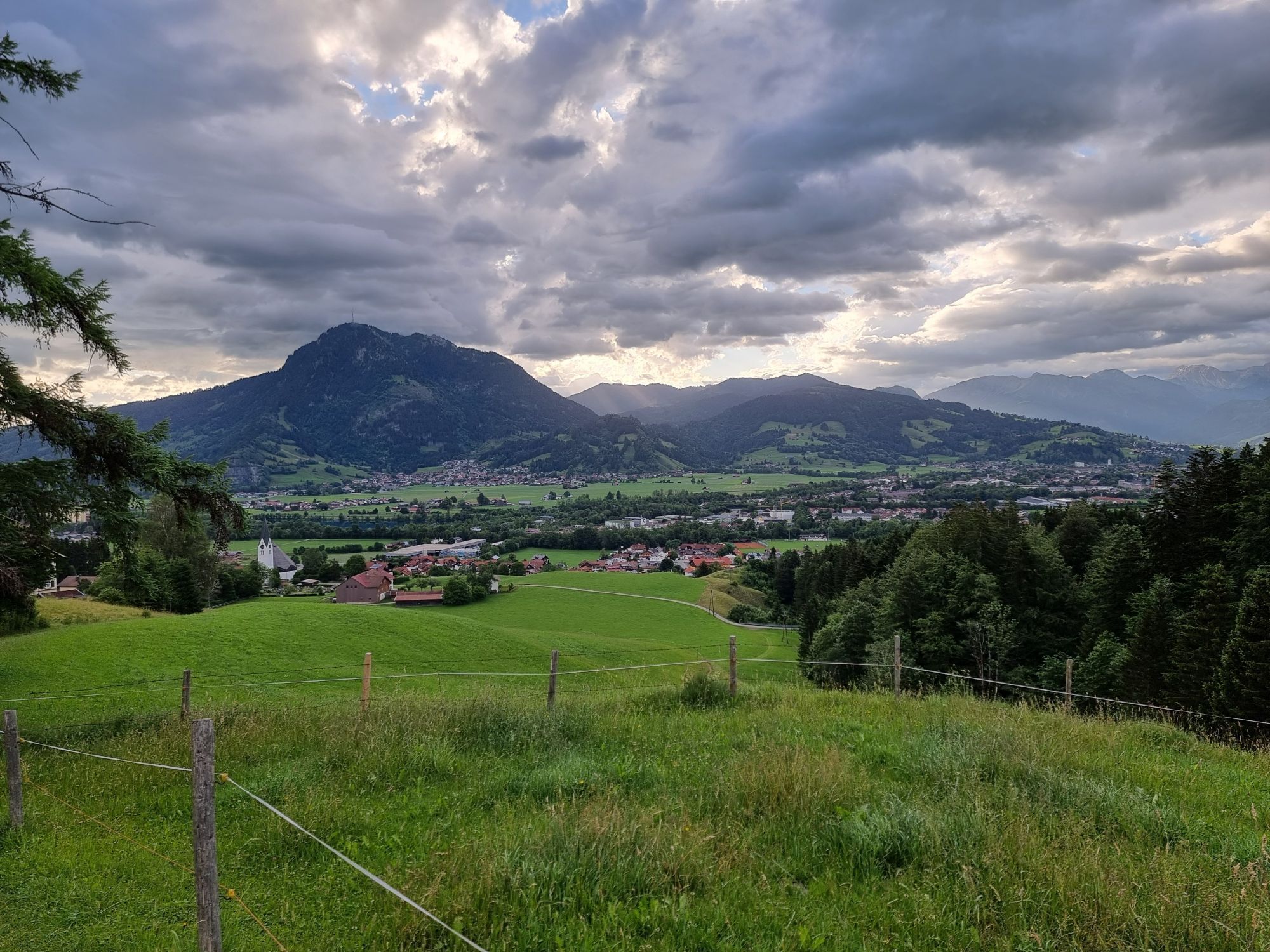
From Oberstaufen train station it goes along the district Weißach following the river of the same name until just before Eibele. Then to Aach and immediately after the former border crossing the old road to Riefensberg. Stay on the road there until just before Hittisau. At the end of the descent, a road turns off to the left, on which we head through the hamlet Reute towards Leckner Valley.
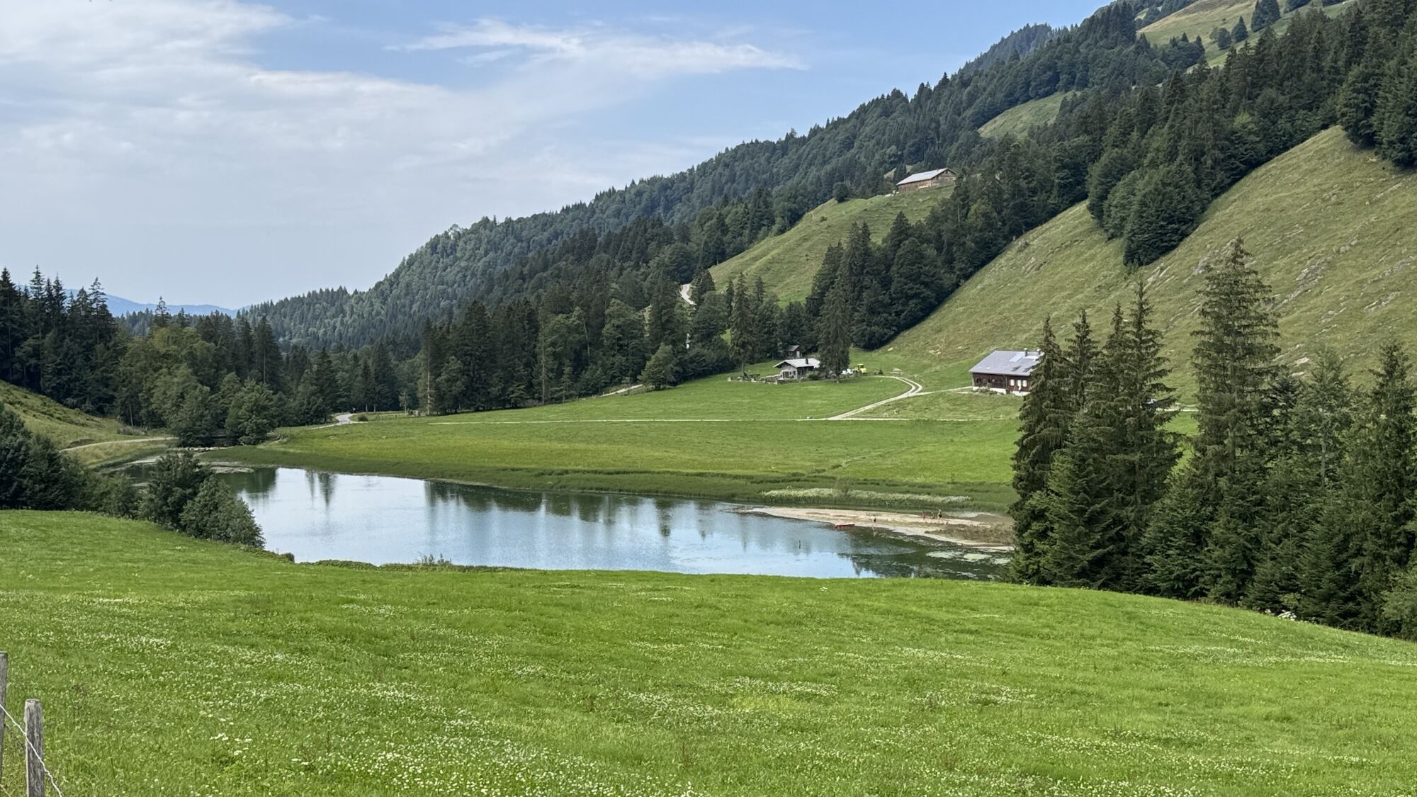
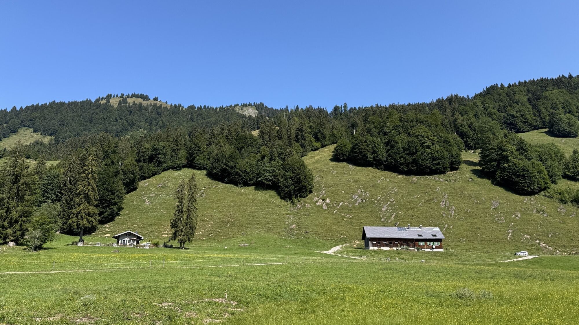
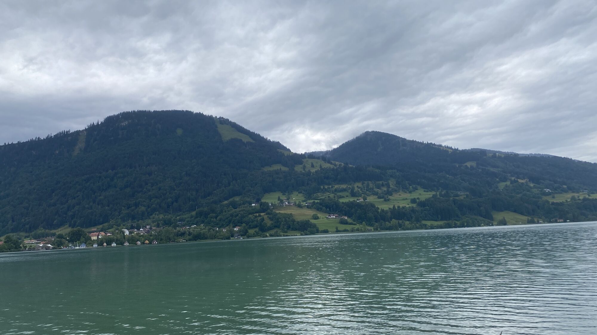
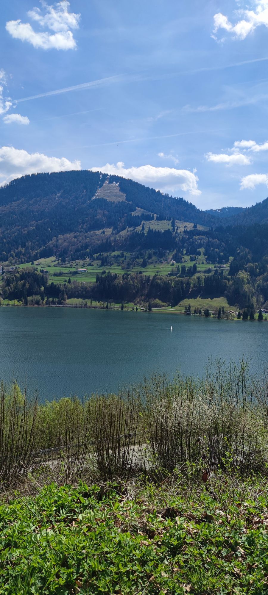
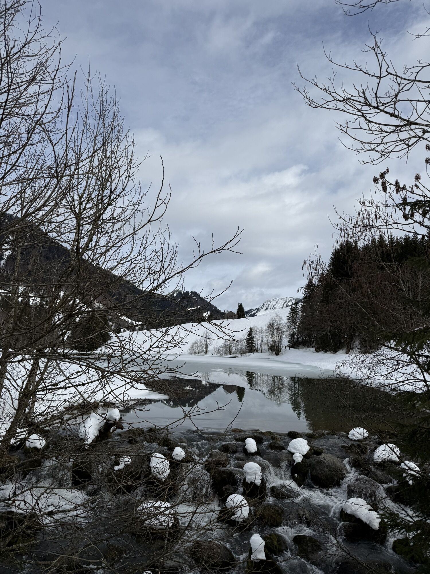
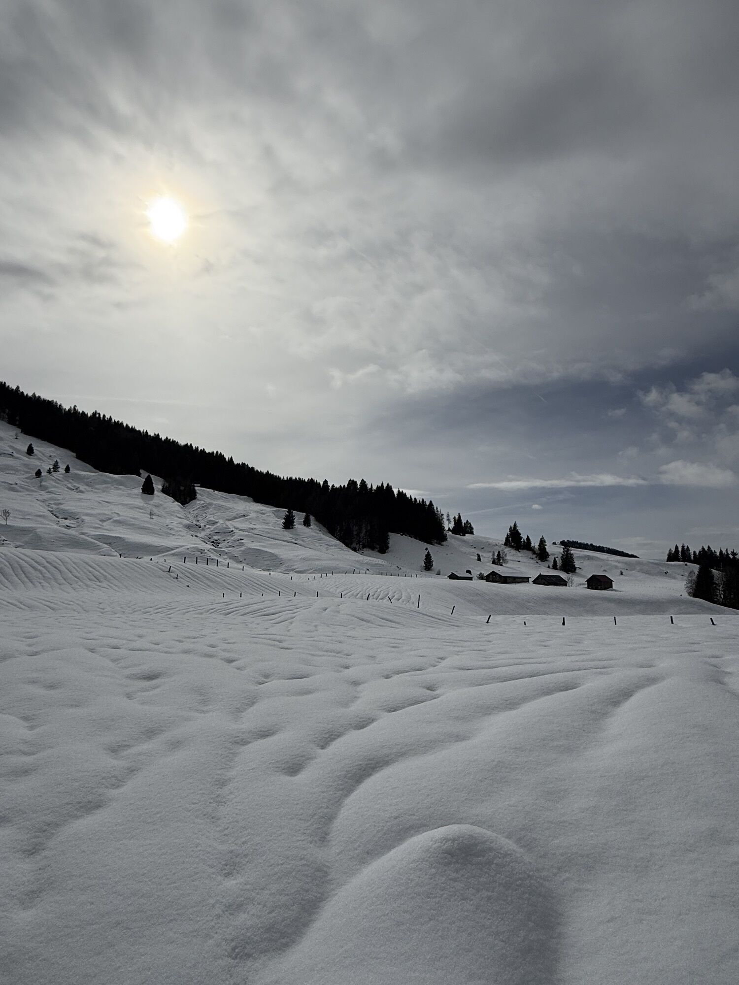
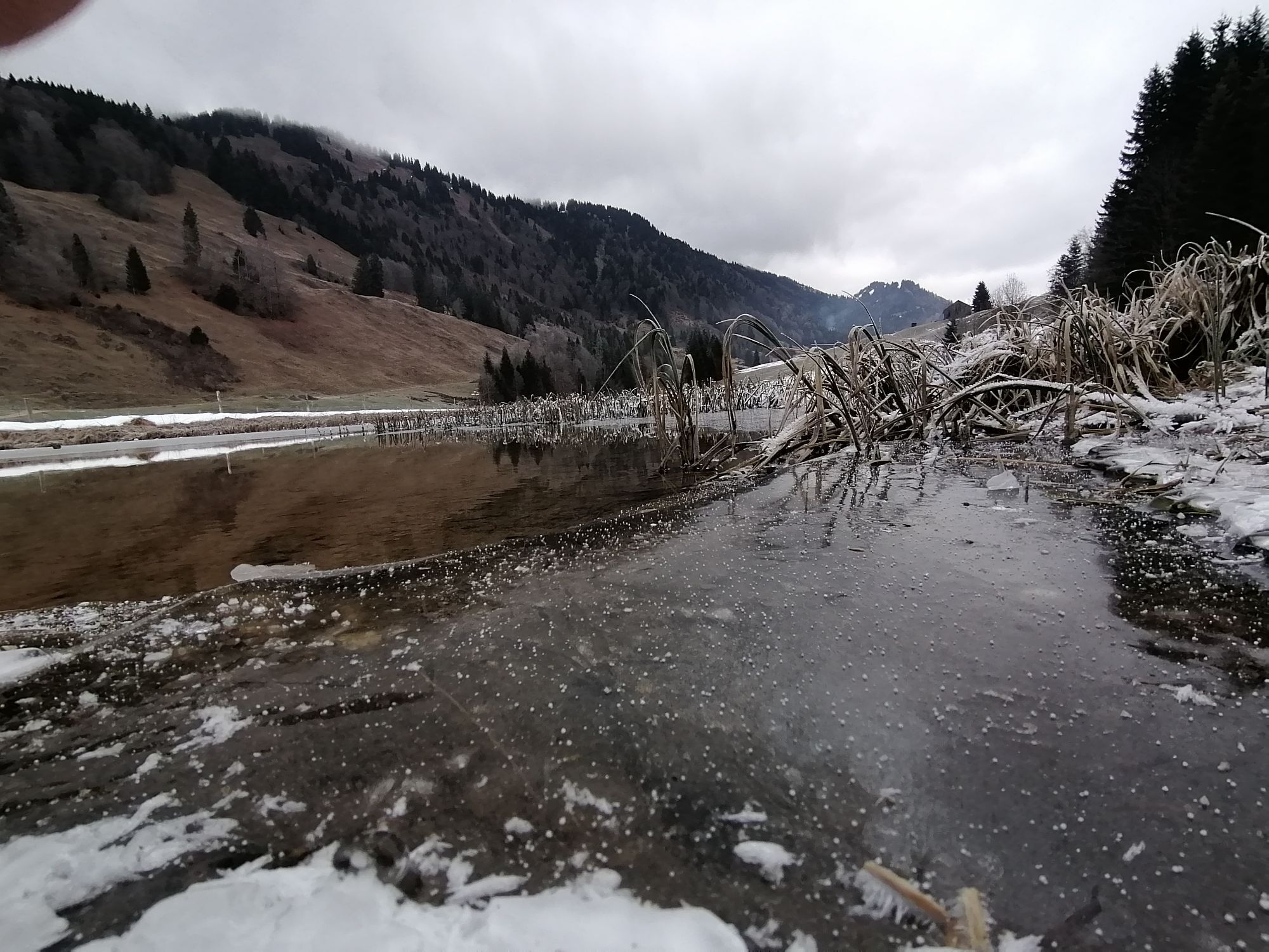
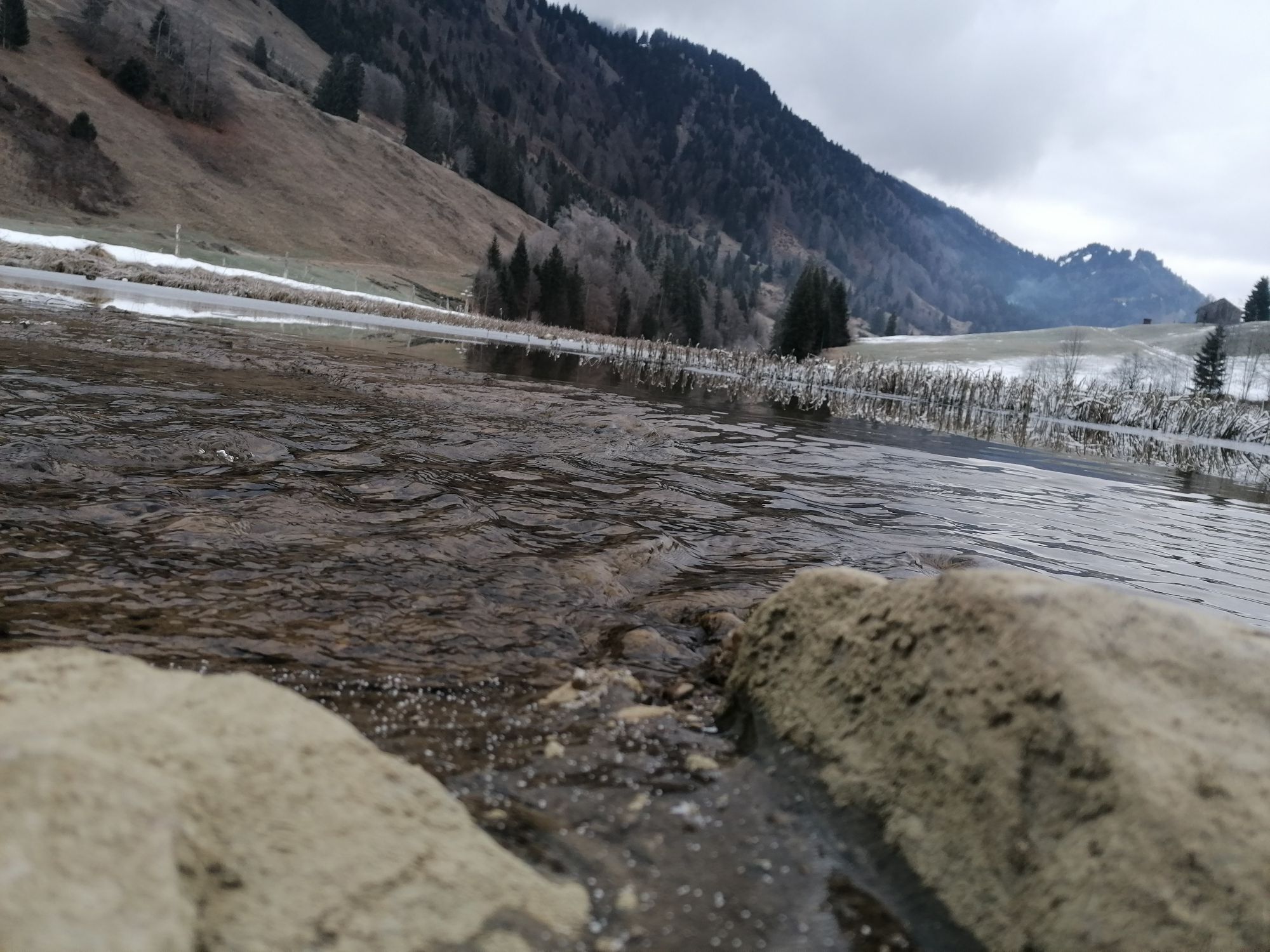
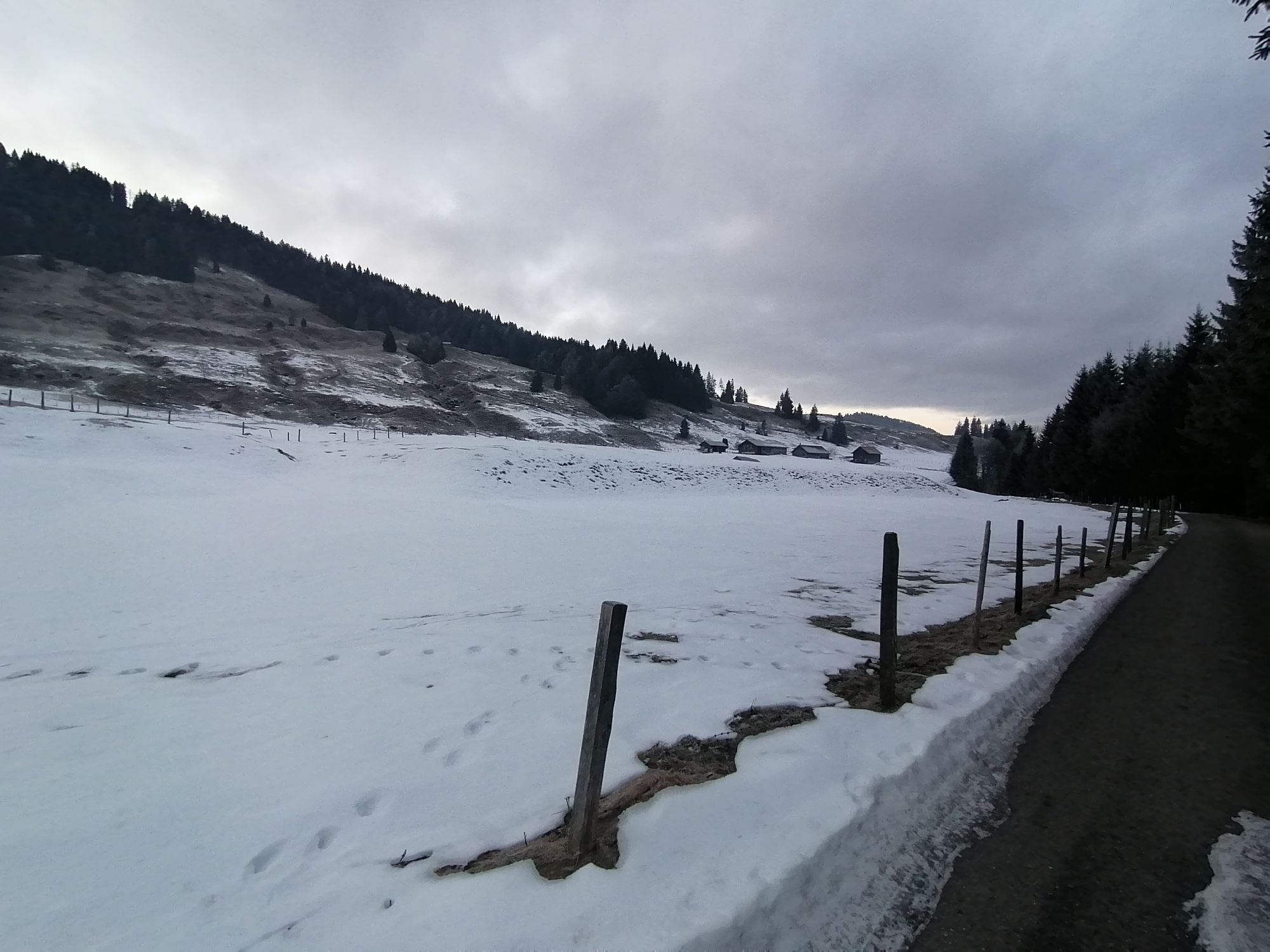
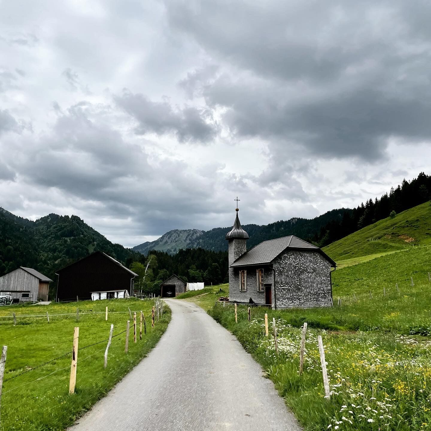
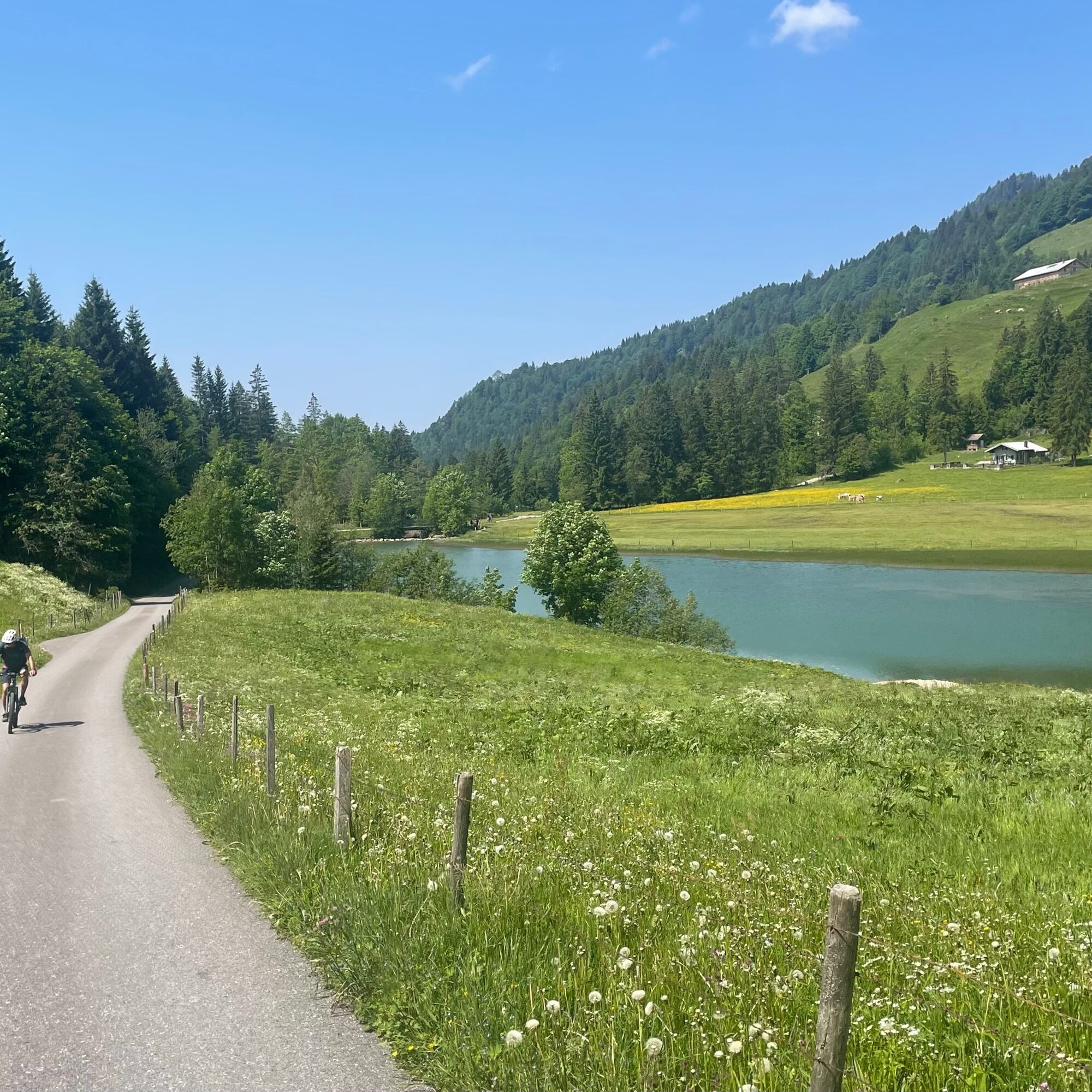
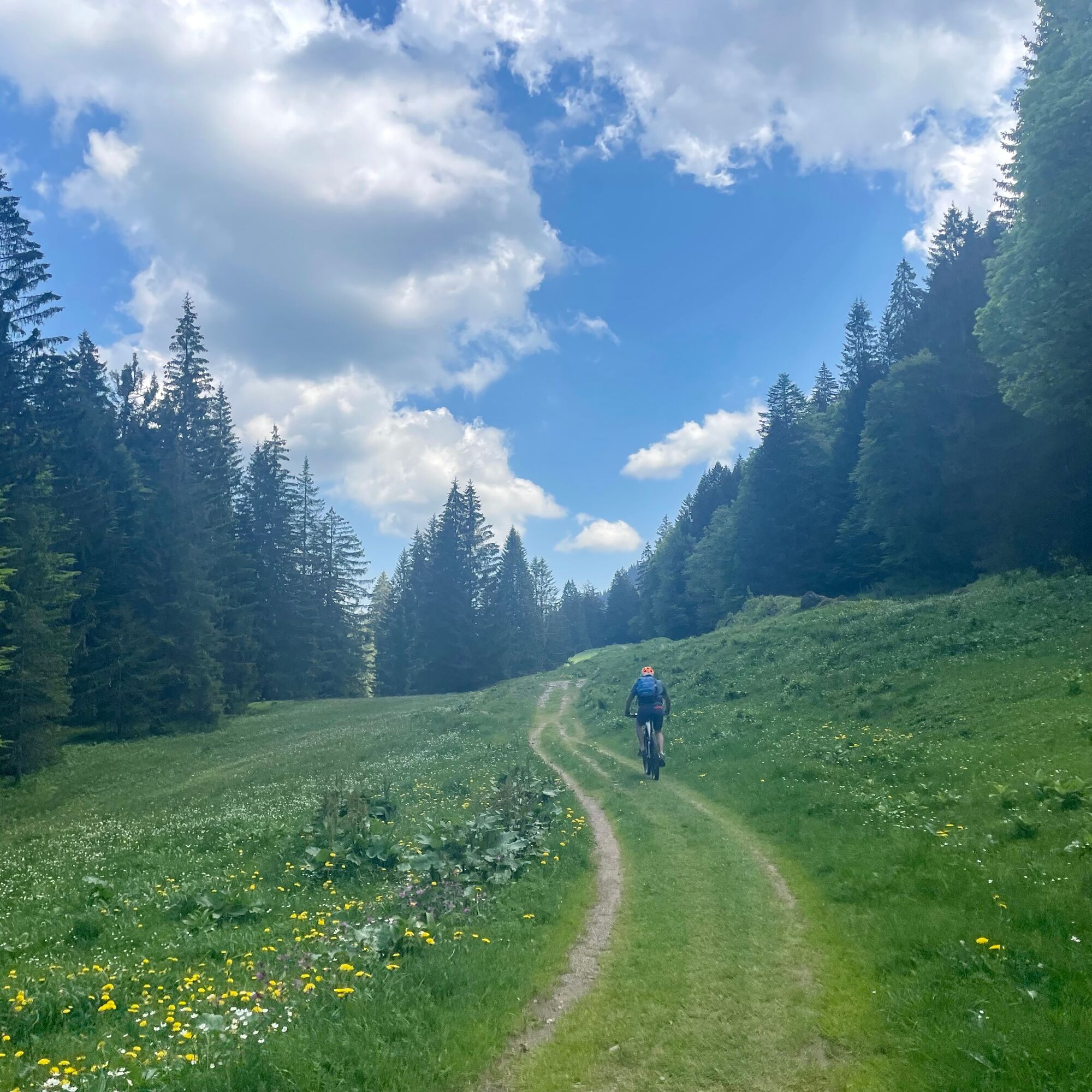
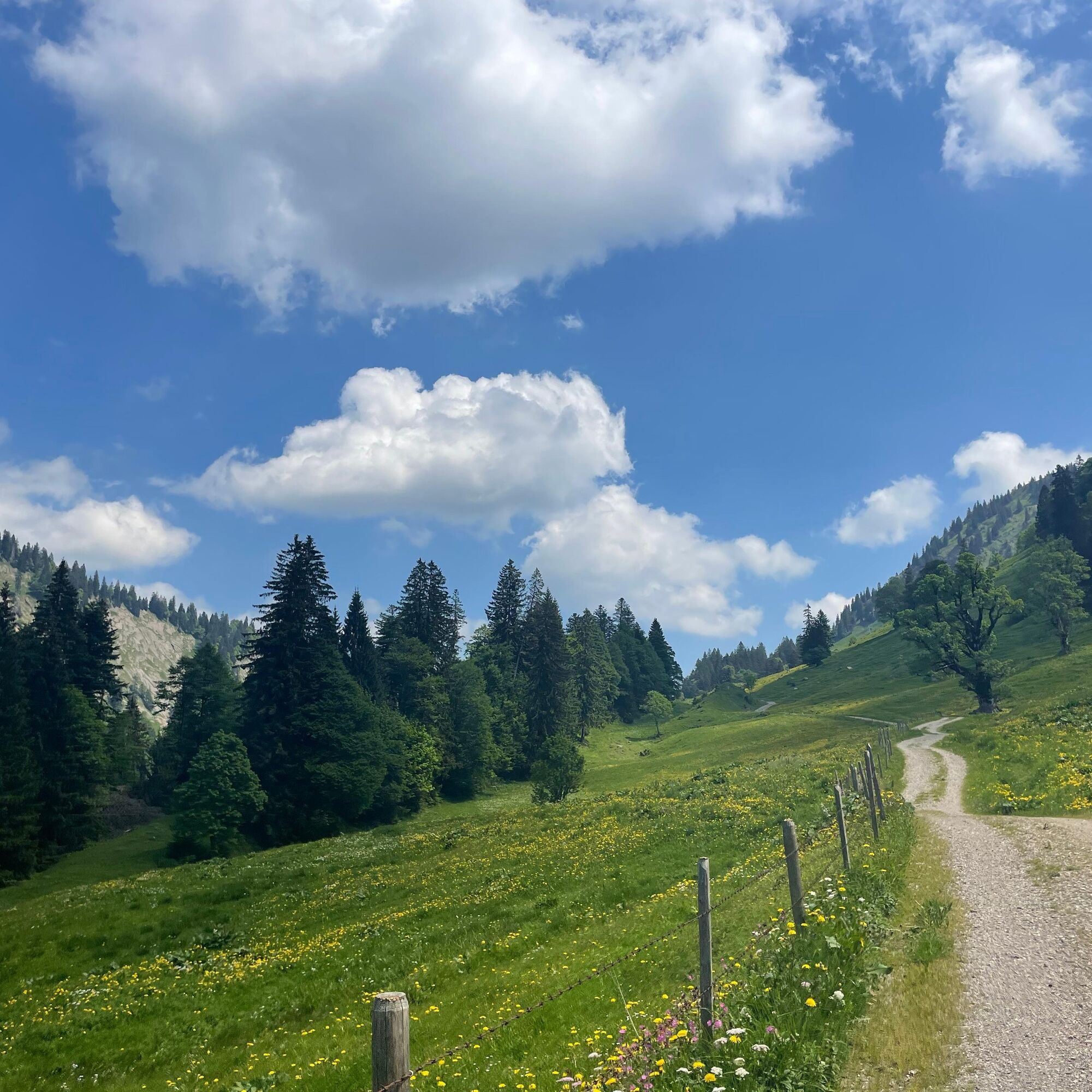
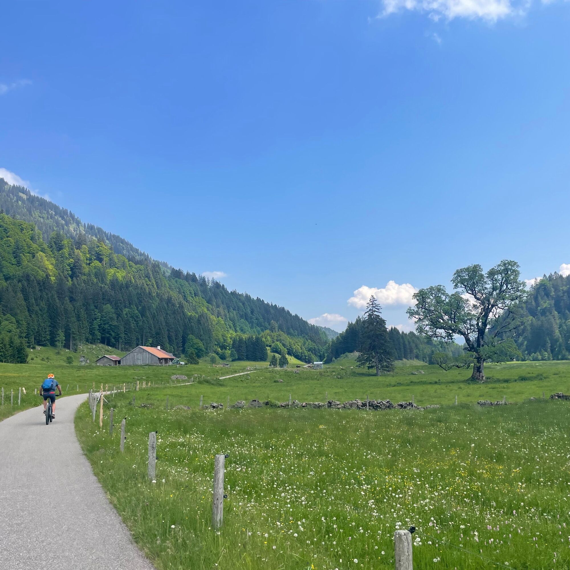
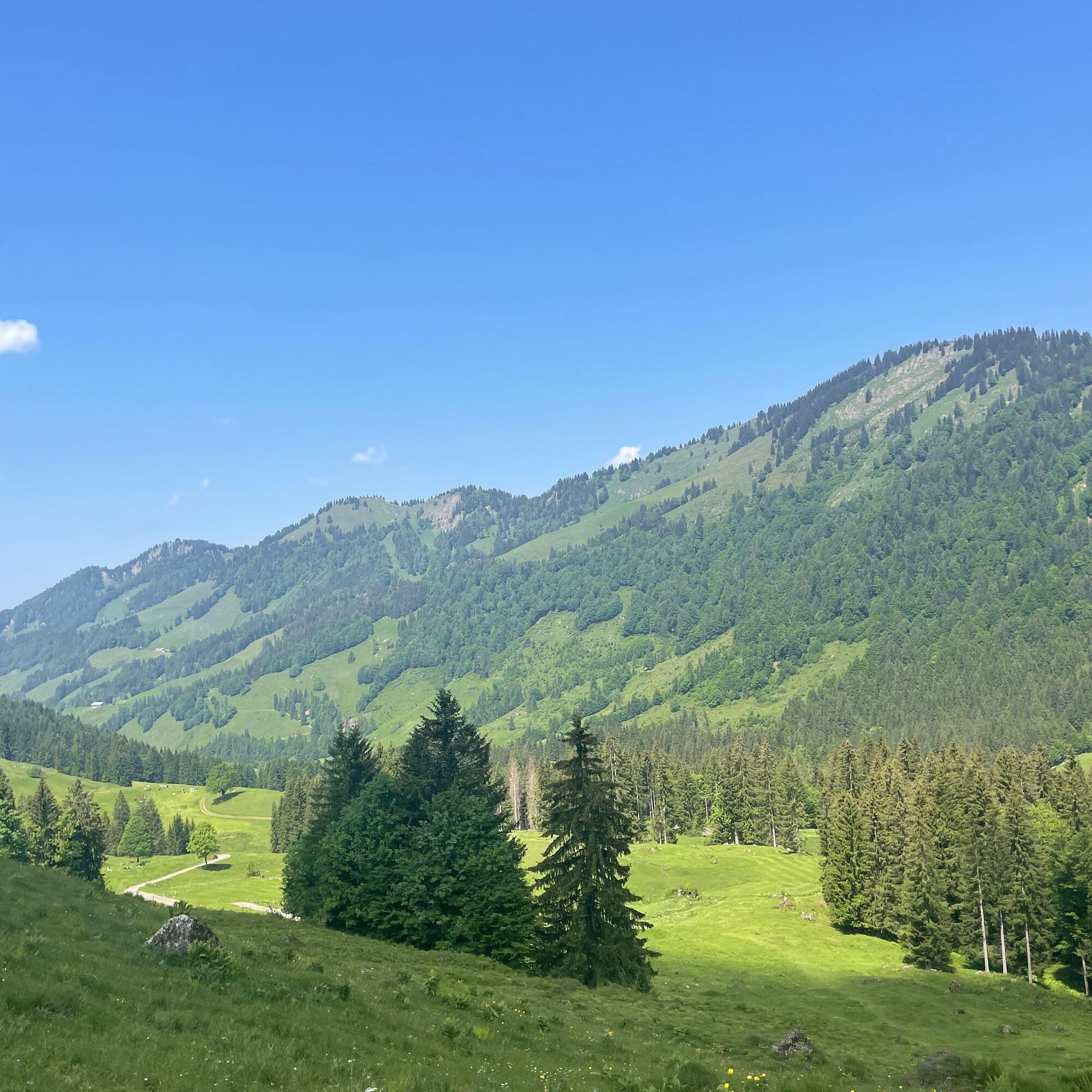
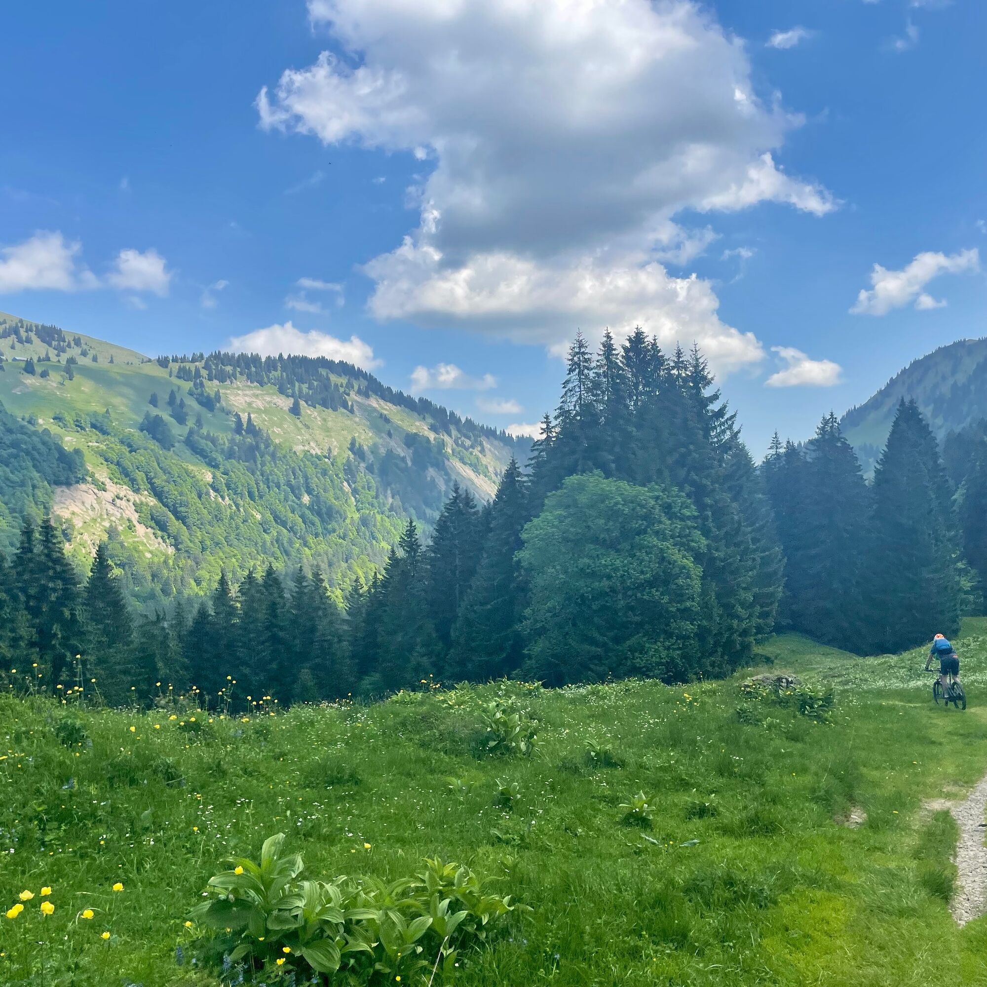
At the beginning, only lightly trafficked, later a toll road, the alpine path mainly leads uphill into the idyllic Leckner Valley. We ride past the right side of Leckner Lake and still on paved road pass the alpine pastures Neuschwand and Helmingen with opportunities to stop. On the left, we enjoy views of the varied massif of the western Nagelfluh chain, on the right side of the trail the view into the mountain world of the Bregenz Forest. Then follows a nice meadow trail before we approach Sura-Alpe on gravel and natural paths and soon reach the highest point at Alpe Scheidwang.
On the long descent down to Gunzesrieder Valley, take a breather and enjoy. A scenically magnificent section! Upon arrival in Gunzesried we have a choice: Either continue down the main road/cycle path to Blaichach or take a slightly shorter route with a few more altitude meters, turning left over the hamlets Ettensberg and Altmummen towards Immenstadt. Anyone who wants can contemplate the remaining way during a stop at the very nice Café Zenzimilia.
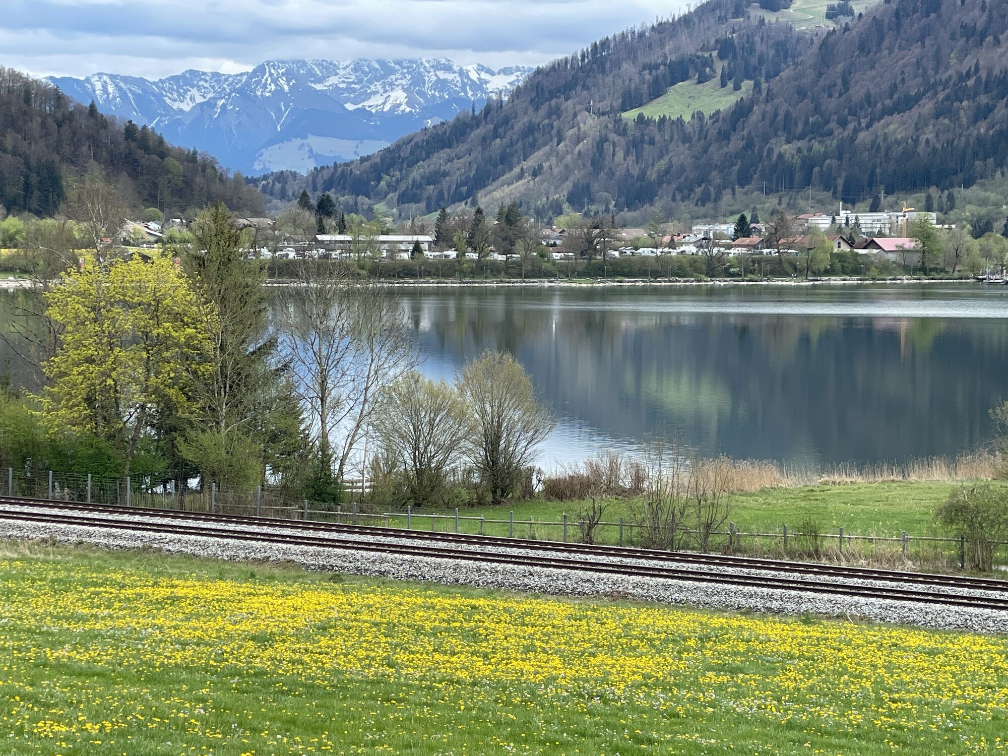
Along the Iller to Immenstadt, then left side of the railway line citywards past V-Markt to the next roundabout. Here towards Oberstaufen and after about 200 meters turn right on the pedestrian/cycle path along the railway line to Bühl. From there, on the residential road behind Alpsee back into Konstanzer Valley and further to Oberstaufen.


Oberstaufen train station - Weißach - Aach - Riefensberg - Hittisau - Reute - Leckner Valley - Leckner Lake - Alpe Neuschwand - Alpe Helmingen - Sura Alpe - Alpe Scheidwang - Gunzesrieder Valley - Blaichach / Ettensberg - Immenstadt - Thalkirchdorf - Oberstaufen
Tak
Oberstaufen train station or in the parking lots in town.
S1
On S1 trails, small obstacles such as flat roots, small stones, and water channels must be rolled over. The gradient is a maximum of 40%. Basic riding skills like controlled braking and body shifts are necessary.
Closed pasture gates during grazing season make continuing difficult at the end of Leckner Valley. Open pasture gates must be closed again!
Note: The route is not explicitly signed; GPX data for navigation is available.
Obtain weather information in advance
Stay on marked paths
112 Euro emergency call or emergency app SOS-EU-ALP
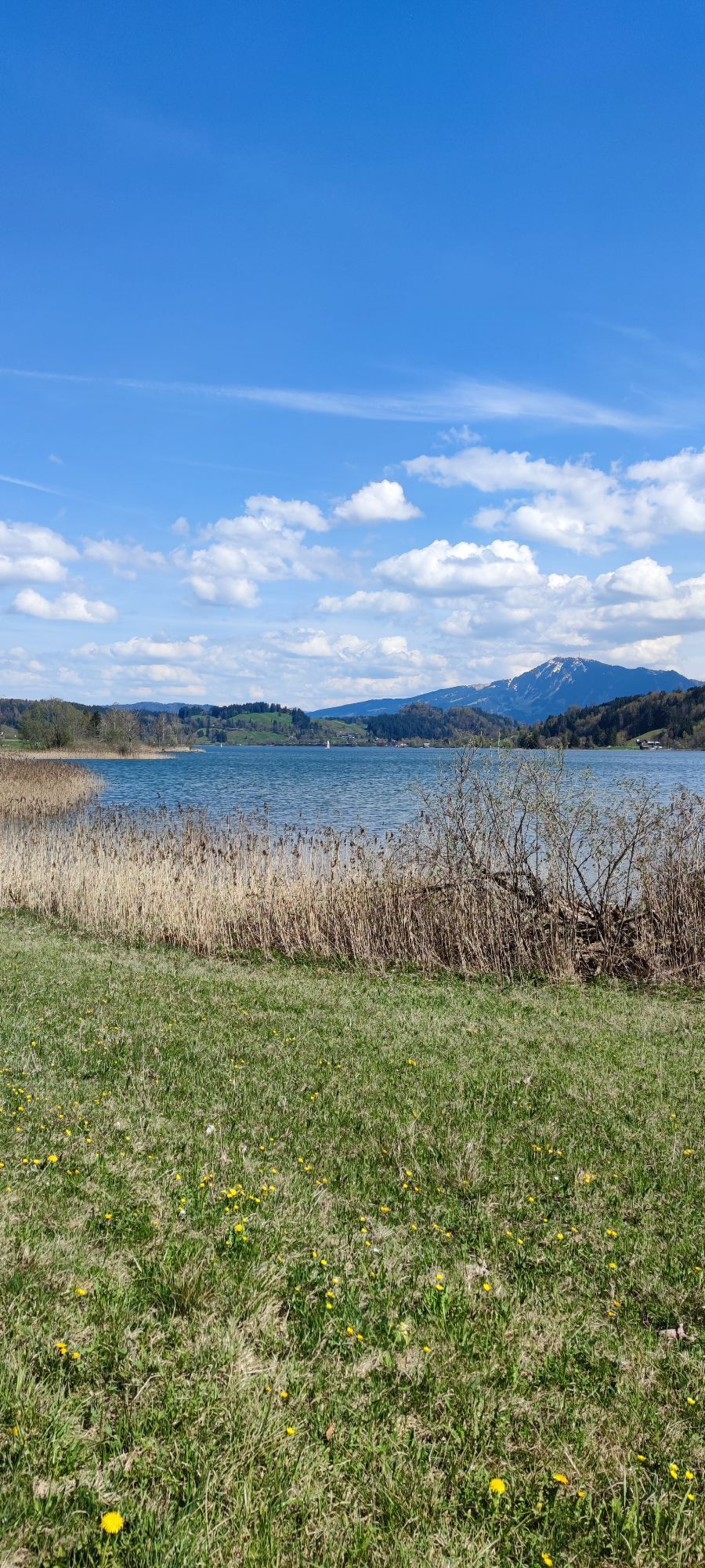
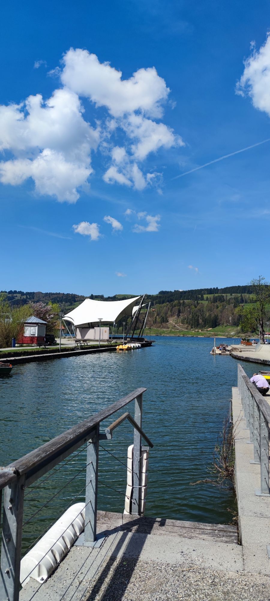
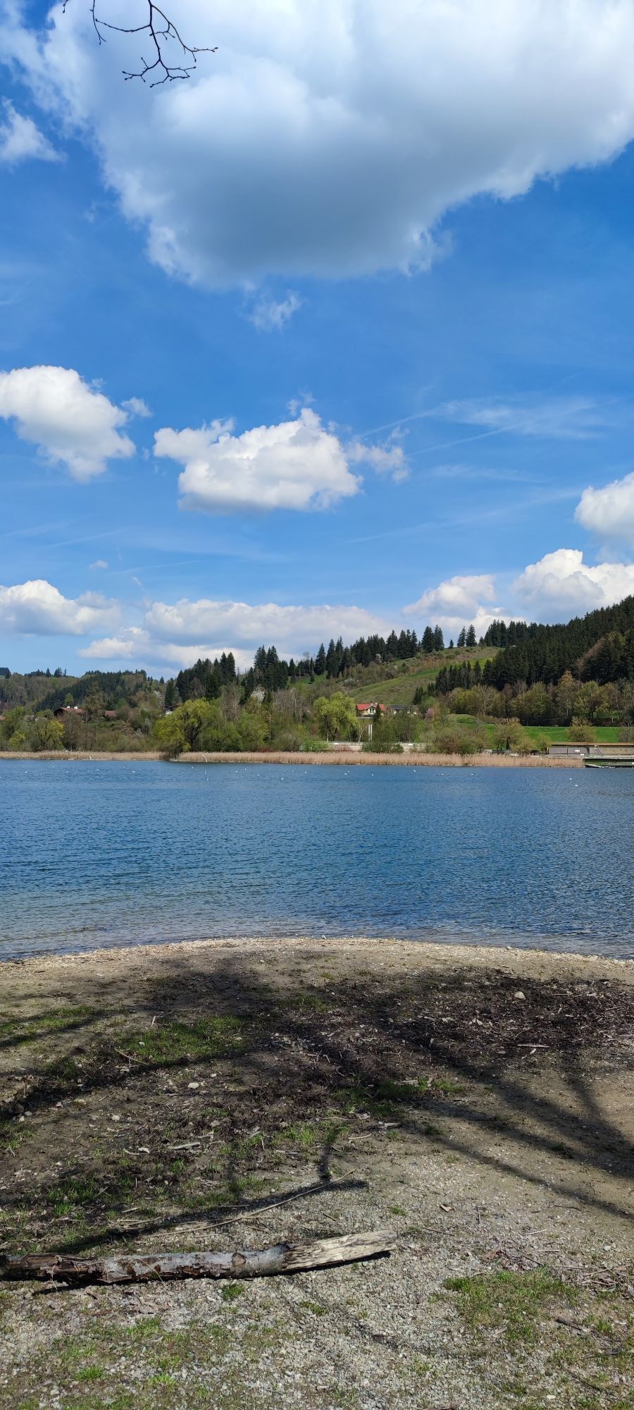
A jump into Alpsee promises a wonderful cooling off on hot summer days towards the end of the route.

Kamery internetowe z trasy
-
Hochgratbahn Bergstation
-
Oberstaufen
-
Oberstaufen - Biohotel Schratt
-
Oberstaufen - Biohotel Schratt
-
Langenegg Kirchdorf
-
Segelclub Alpsee
-
Gschwendlift 1 Bergstation
-
Balderschwang - Schelpenbahn
-
Hittisau
-
Bergstation Ofterschwang
-
Talstation Ossi-Reichert Bahn
-
Oberstaufen
-
Sulzberg
-
Sulzberg
-
Sonthofen - Panzer & Braun Tiefbau
-
Balderschwang
-
Fluhexpress Berg
-
Fluhexpress Berg
-
Fluhexpress Berg
-
Alpe Hohenschwand
-
Oberstaufen
-
Oberstaufen
-
Oberstaufen
-
Oberstaufen
-
Alpe Birkach
-
Petersthal am Rottachsee
-
Petersthal am Rottachsee
-
Oberstaufen
-
Balderschwang
-
Oberstaufen - Rosenalp
-
Balderschwang
-
Fluhexpress Bergstation
-
Hündlebahn Bergstation
-
Imberghaus
-
Weiherkopf Bergstation
-
Thaler Höhe
-
Grünten
-
Grünten
-
Oberstaufen
-
Balderschwang - Siplinger Suites
Uzyskaj wgląd
Zawsze na żywo z ponad 9 500 kamer internetowych. bergfex Jako użytkownik Pro, możesz teraz zobaczyć odpowiednie kamery internetowe dla wielu wycieczek w aplikacji wycieczki od. Pozwala to na bezpośredni podgląd aktualnych warunków.
Popularne wycieczki w okolicy
-
4,6
Steibis - Buchenegger Waterfalls
średniWędrówka 6,47 km -
3,9
Klassikertour: Auf den Grünten
ciężkiWędrówka 8,50 km -
4,6
Hittisau | Wasserwanderweg
światłoTrasa tematyczna 7 km -
4,1
Winter circular hike through the Breitachklamm gorge
średniWędrówka zimą 5,66 km -
4,4
3-Gipfel-Tour bei Sonthofen im Allgäu
średniWędrówka 11,4 km -
4,4
Wanderung auf den grünten
średniWędrówka 8,31 km -
4,3
Starzlachklamm
średniWędrówka 5,30 km -
4,5
Breitachklamm Rundweg (Alpe Dornach)
średniWędrówka 7,65 km -
4,7
Rindalphorn und Hochgrat
średniWędrówka 15,6 km -
4,6
Wanderung auf den Sonnenkopf
średniWędrówka 6,60 km
Wędrówki i tropienie


Nie przegap ofert i inspiracji na następne wakacje
Twój adres e-mail została dodana do listy mailingowej.





