







Kleine Drei Berge-Runde

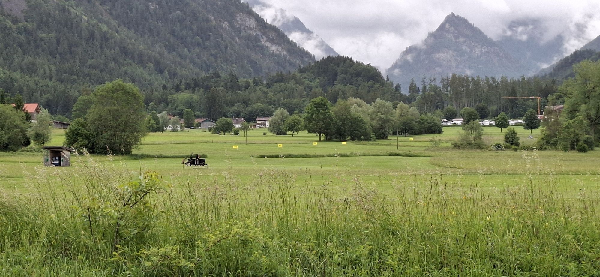
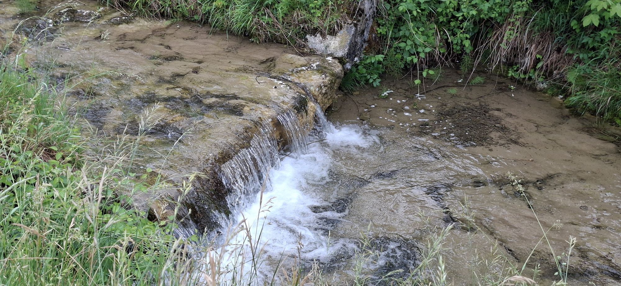
Wolfsgraben - Zwickelgraben - Wolfsgraben


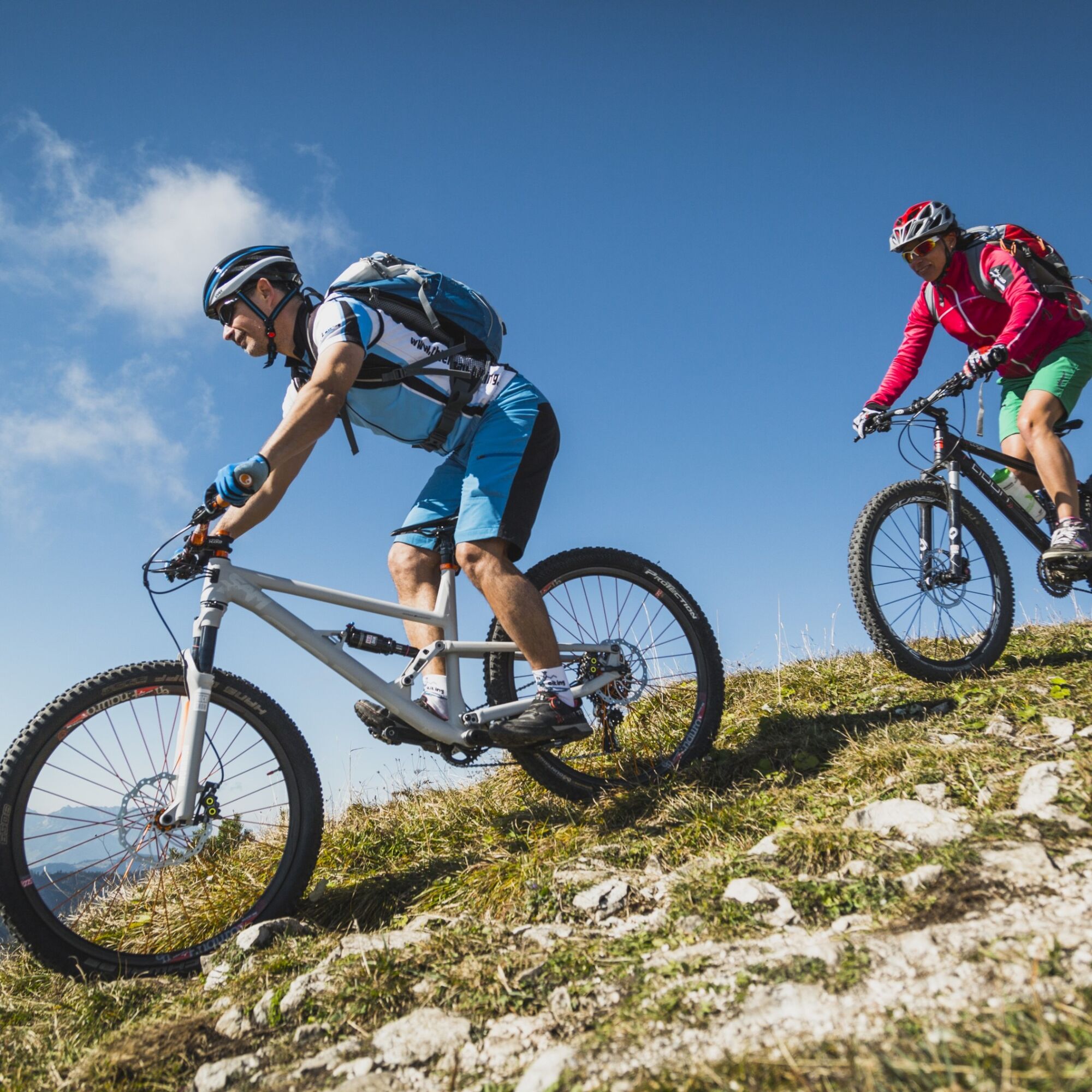


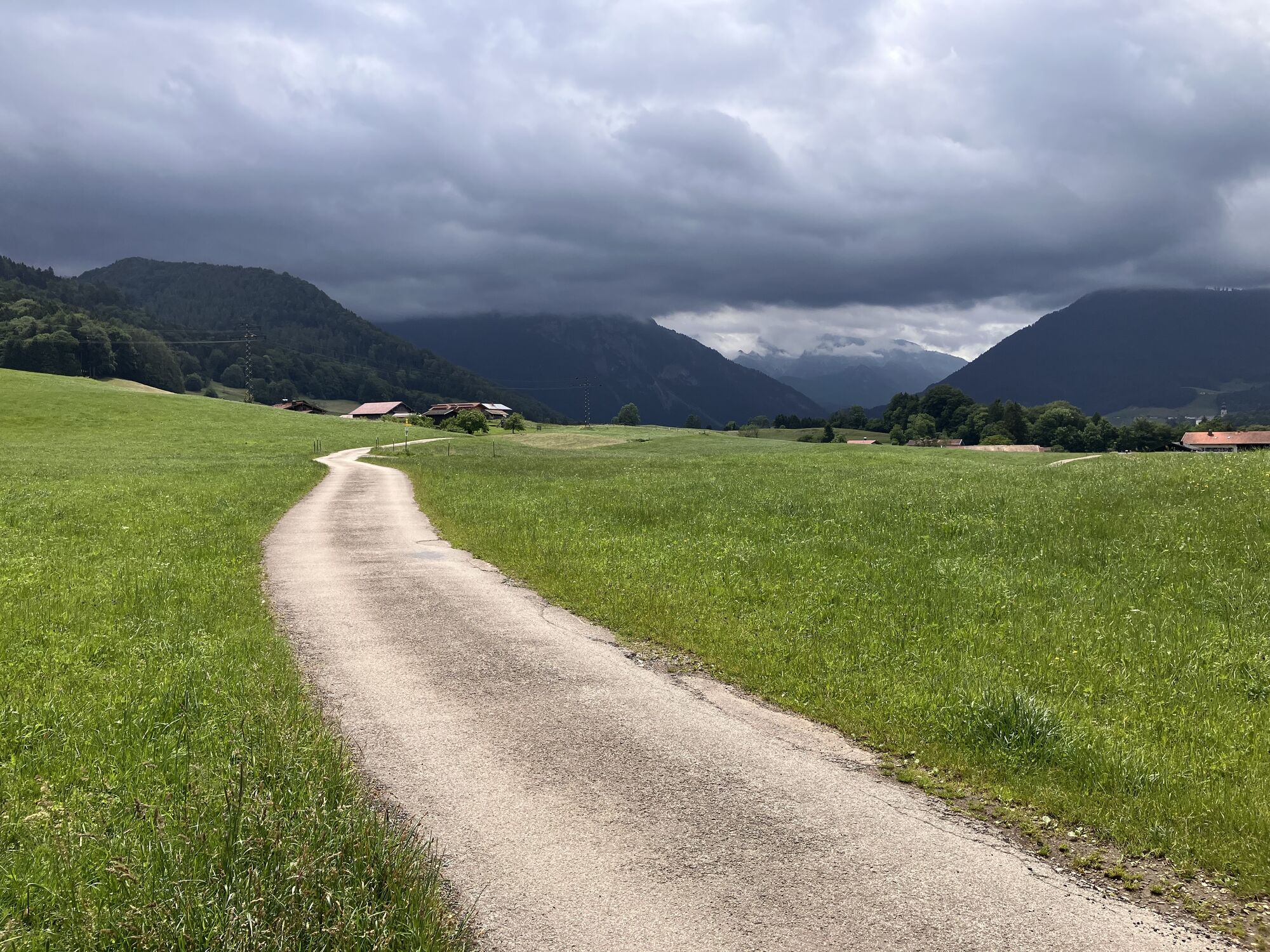
After starting in the town center, Josef Hütterer Gasse, Pater-Effenberger-Str., and finally Taborstr. lead us westward through Wolfsgraben, following the Kaiserspitz route. Where Taborstr. meets Forsthausstr., we turn left onto it and follow the gravel path to the foot of the Drei Berge. We follow Drei Berge Street to the Schöny farm. After passing Zwickelgraben, we continue toward the Wolfsgraben Cemetery and then back to the starting point.
Surface: 25% asphalt, 75% gravel,
A safe and roadworthy mountain bike is a prerequisite for all routes. A helmet and gloves provide protection in the event of a fall, and knee and elbow pads can be added when riding on single or shared trails. A modern mountain bike with disc brakes and sufficient tire tread is recommended. For single and shared trails rated red or higher, a full-suspension bike with modern geometry is recommended. Tools, a tire lever, a pump, and a spare tube will come in handy in case of a flat tire. You should also bring plenty of food and drink, as well as a cell phone and a windbreaker or rain jacket.
Before every ride, check that the brakes, tires, and suspension fork/shock are in good working order. Always ride with an eye out for hazards and at a controlled speed, and choose a route that suits the group’s riding ability and the terrain. The Fair Playrules must be observed at all times. Single/shared trails, as well as built trails in trail parks and trail centers, often feature rocks, roots, steep sections, steps, and sharp turns that require a certain level of riding skill. If in doubt, simply dismount and walk your bike.
The elevation data for this route was calculated based on A-MAP. Due to differences in the map data used by various routing and navigation apps and devices, slight variations in the figures are inevitable. For more information, see the following blog post!
Wienerwald Tourismus GmbH
Hauptpl. 11, 3002 Purkersdorf
Tel.: 02231/62176
Email: office@wienerwald.info
Website: www.wienerwald.info
Places to stop for refreshments:
VinowaldOliver's TavernUpdated on: February 28, 2022

Kamery internetowe z trasy
-
Ortseingang von Ruhpolding
-
Steinberger Hof
-
Talstation Westernberglift
-
Vachendorf / Wimpasing
-
Bojernhof
-
Bojernhof
-
Chiemgau Arena
-
Chiemgau Arena
-
Chiemgau Arena
-
Chiemgau Arena
-
Chiemgau Arena
-
Chiemgau Arena
-
Inzell / Camping Lindlbauer
-
Eggerschneid
-
Unternberg Ruhpolding
-
Unternberg Sesselbahn Talstation
-
Ruhpolding Richtung Süden
-
Chiemgau - Coaster Ruhpolding
-
Rauschberg
-
Westernberg
-
Westernberg
-
Westernberg
-
Westernberg

Popularne wycieczki w okolicy
-
4,5
Staufen-Bergtour
średniWędrówka 14,1 km -
5,0
Sonntagshorn über Hochalm (Unken, Heutalbauer)
średniWędrówka 11,2 km -
4,9
Frillensee round from Adlgaß
Wędrówka 5,82 km -
4,8
Atemberaubende Aussicht auf dem Dürrnbachhorn
średniWędrówka 8,44 km -
4,6
CHIEMGAU: Hörndlwand (1684m), Gurnwandkopf (1691m)
światłoWędrówka 12,6 km -
4,7
Jochberg - Zwiesel
światłoWędrówka 4,12 km -
4,6
Hochgern
średniWycieczki górskie 15,1 km -
3,5
Zwiesel-Runde
Wędrówka 11,0 km -
4,7
Pidinger Klettersteig mit Umweg im Abstieg
ciężkiVia ferrata 15,0 km -
4,4
Unternberg
światłoWędrówka 9,20 km
Wędrówki i tropienie


Nie przegap ofert i inspiracji na następne wakacje
Twój adres e-mail została dodana do listy mailingowej.





