







Breitenberg round
Poziom trudności: S2

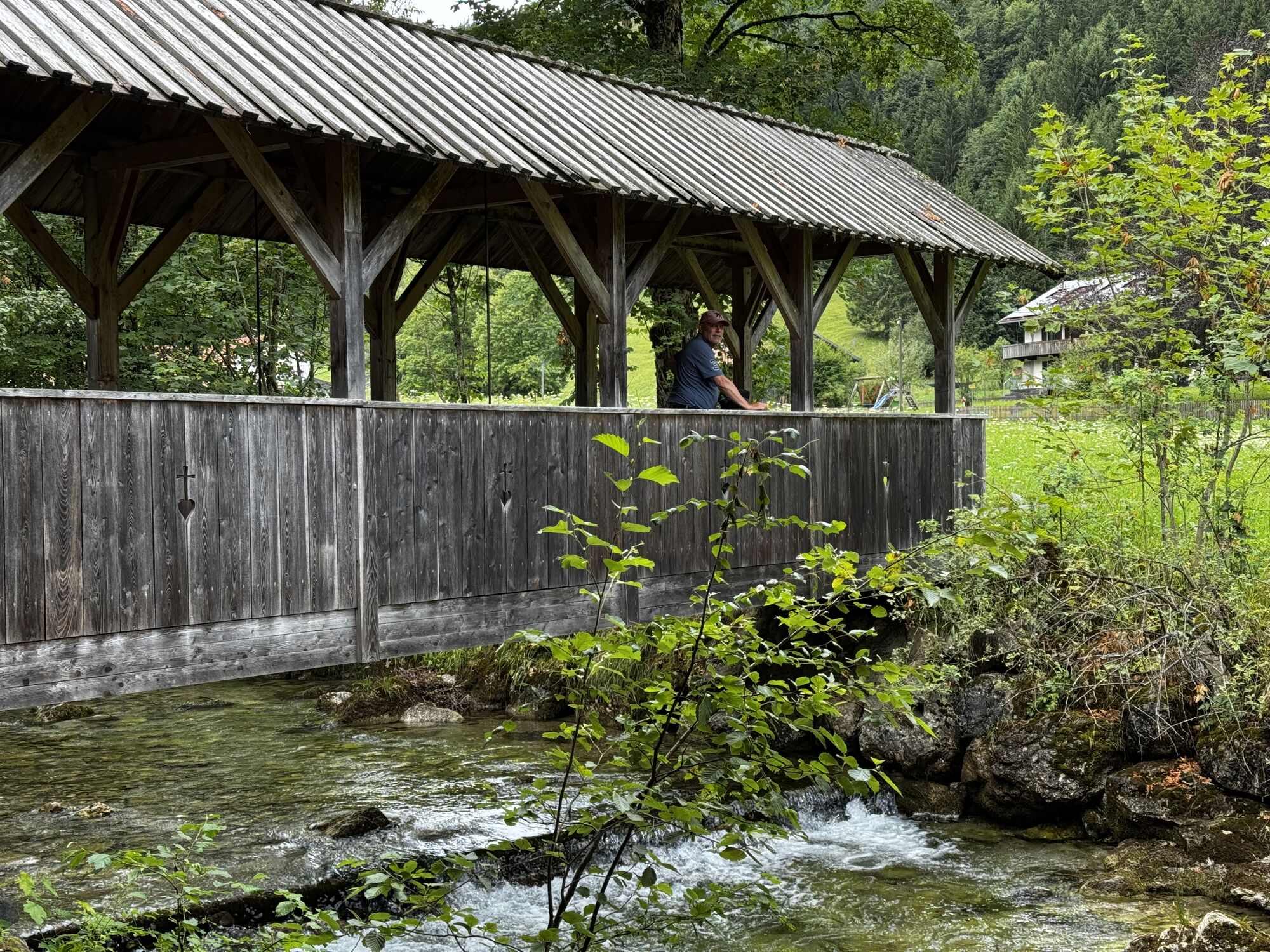
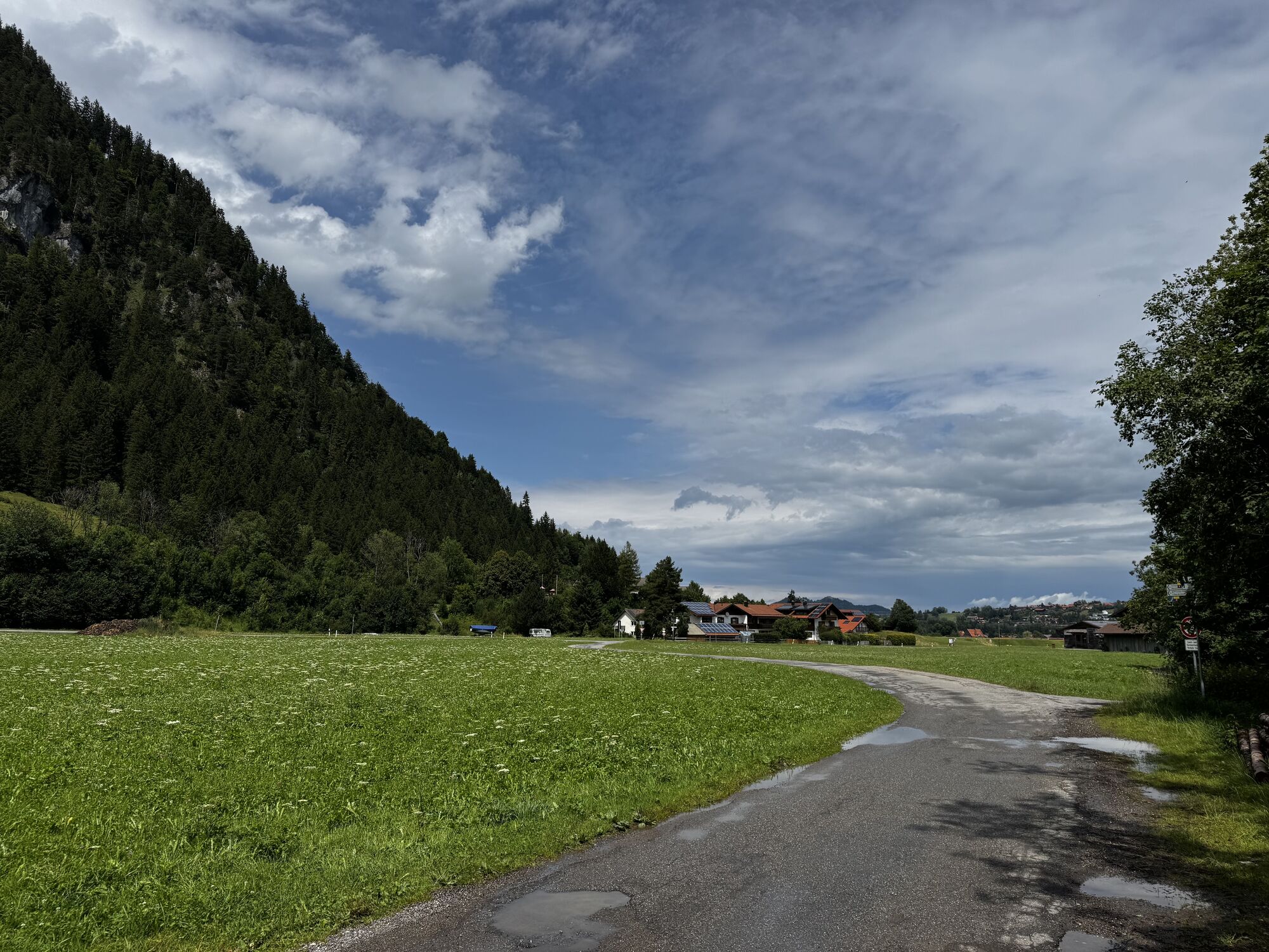

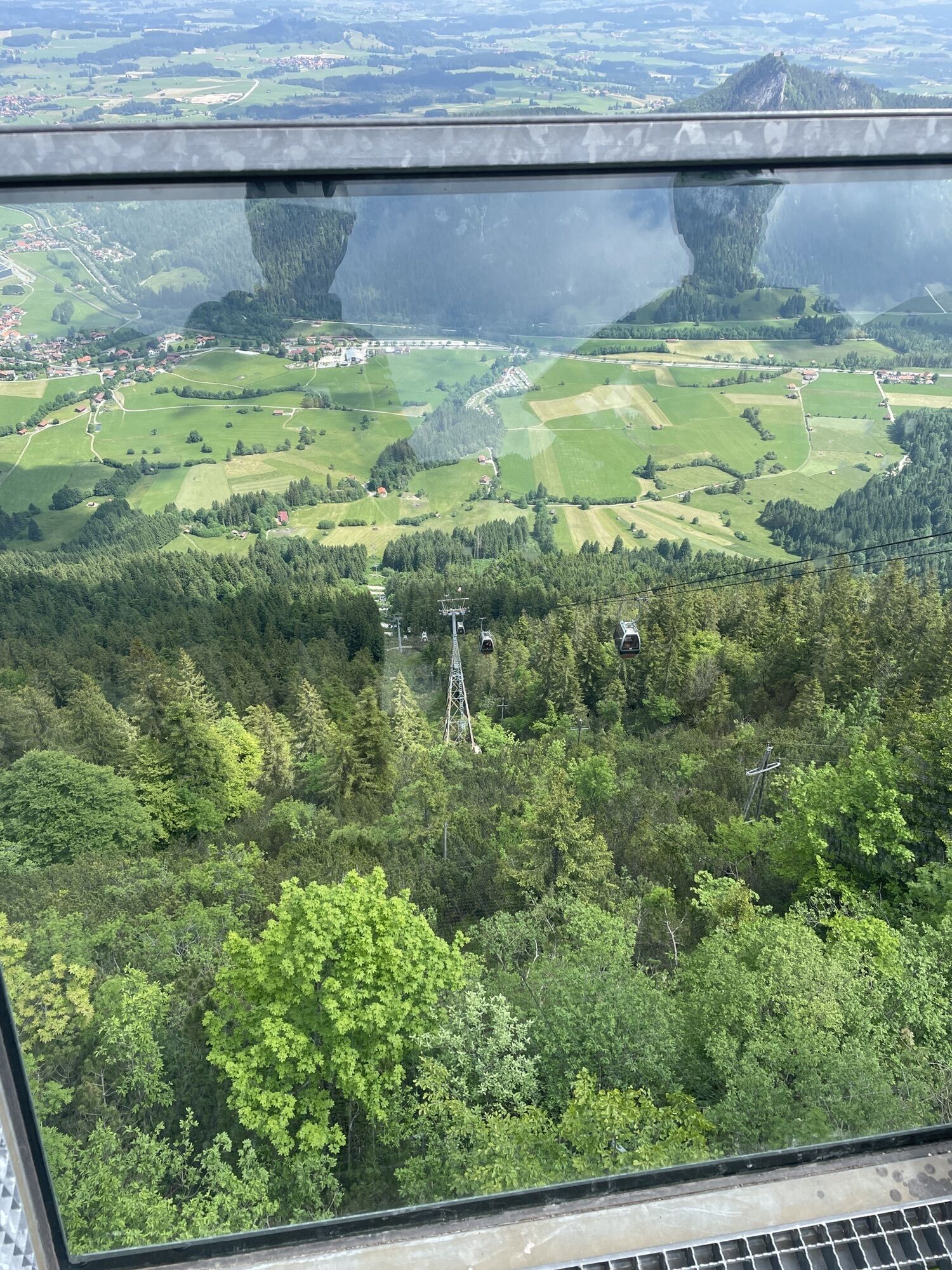
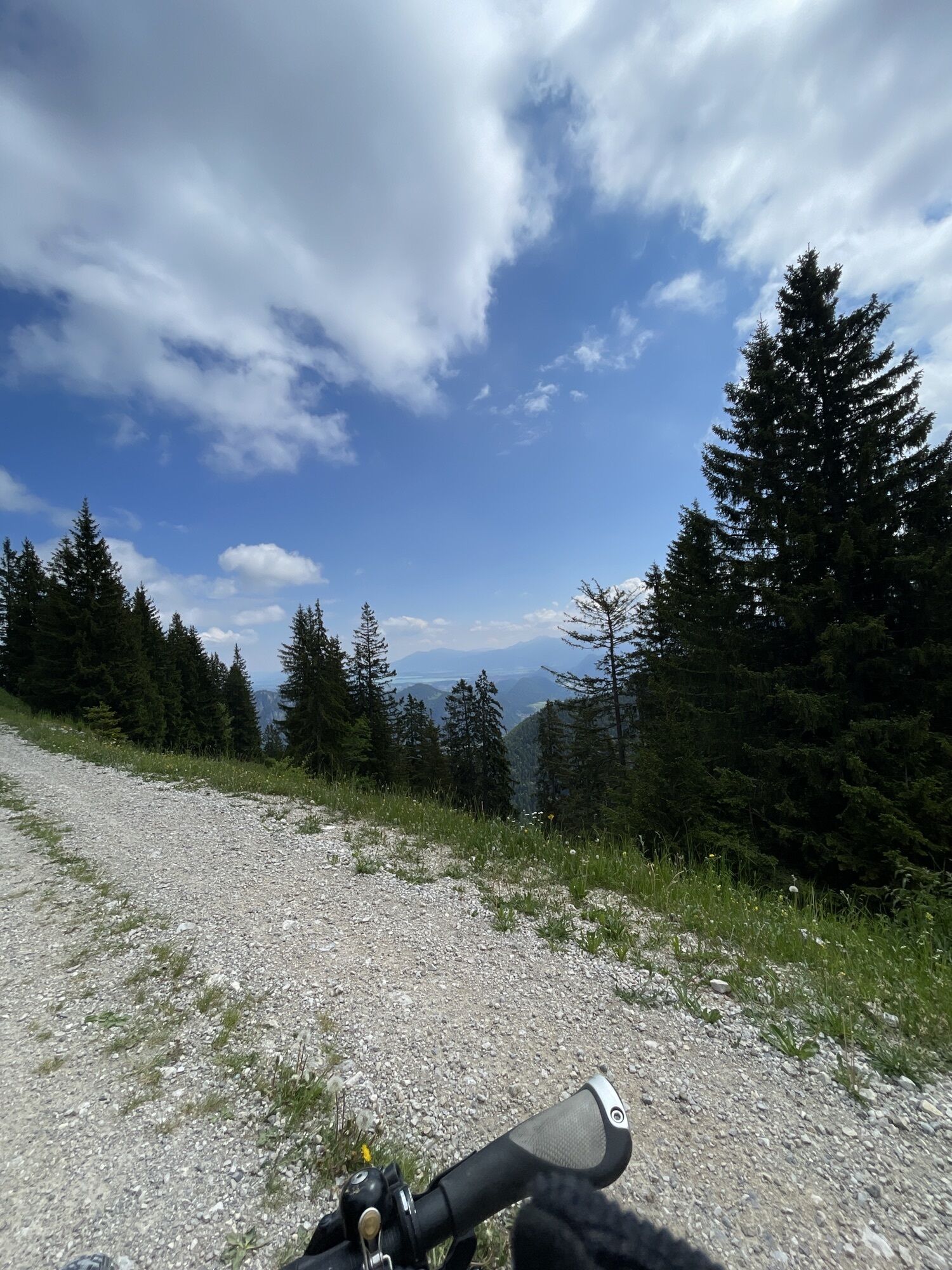
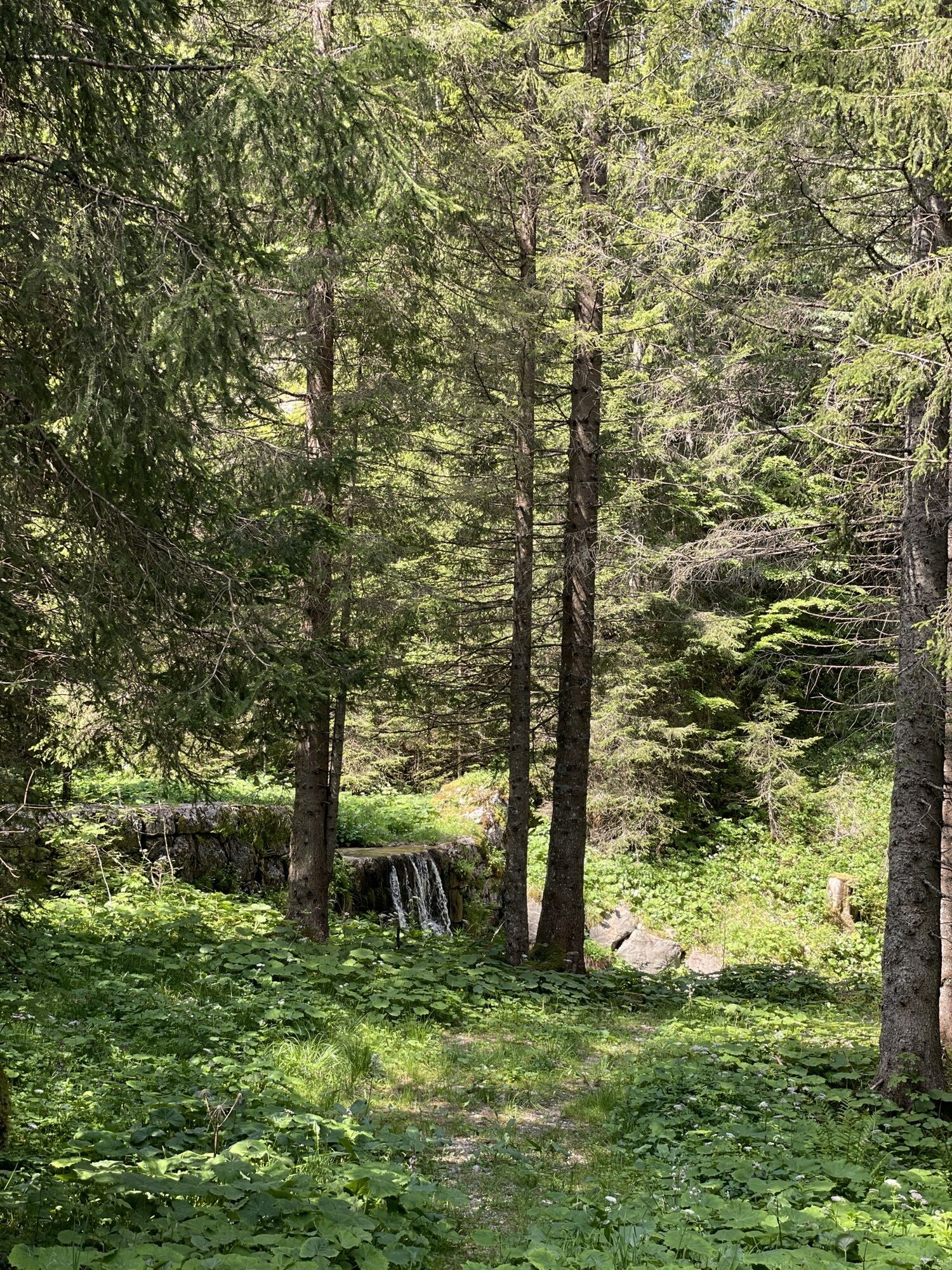
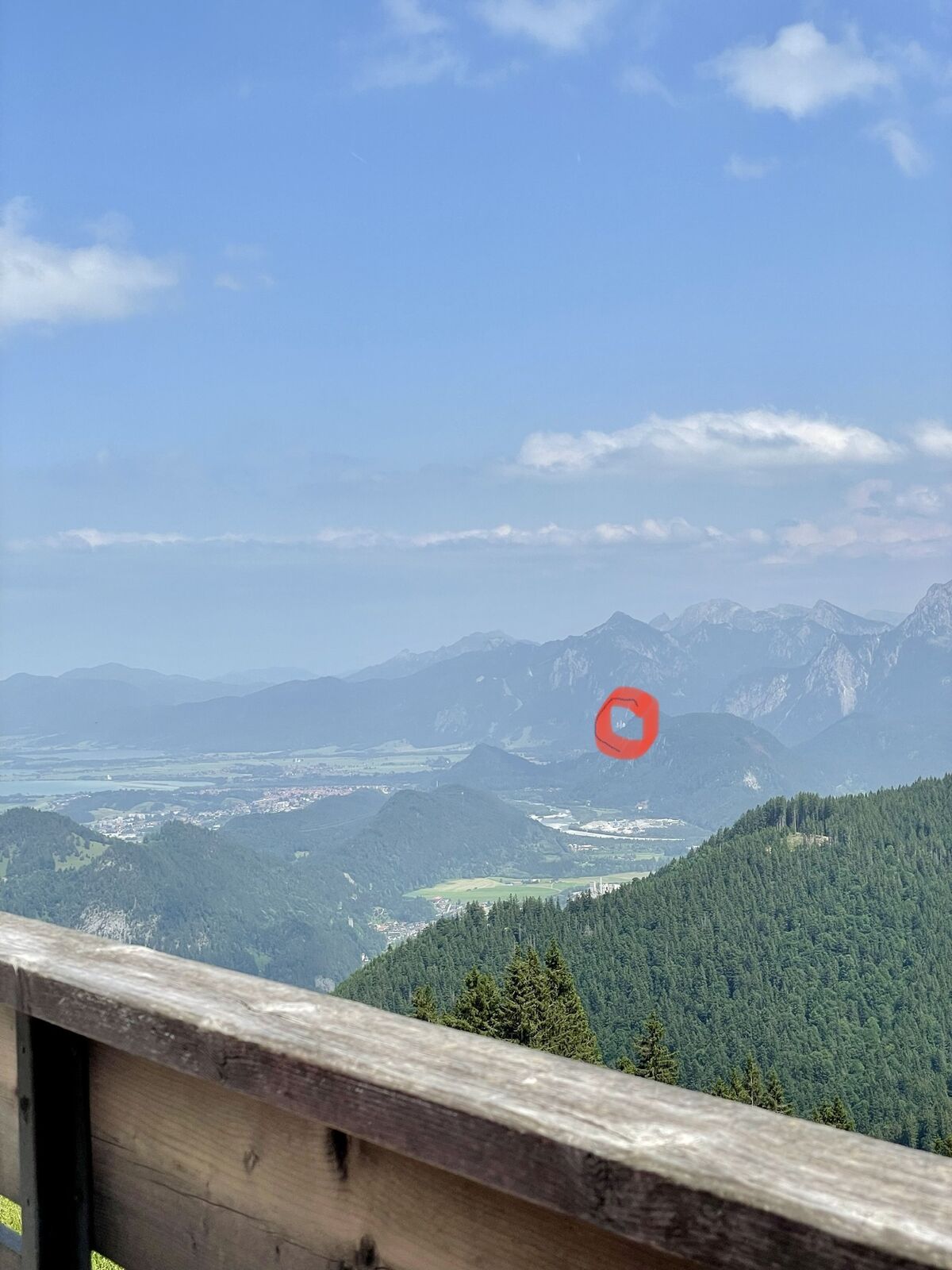
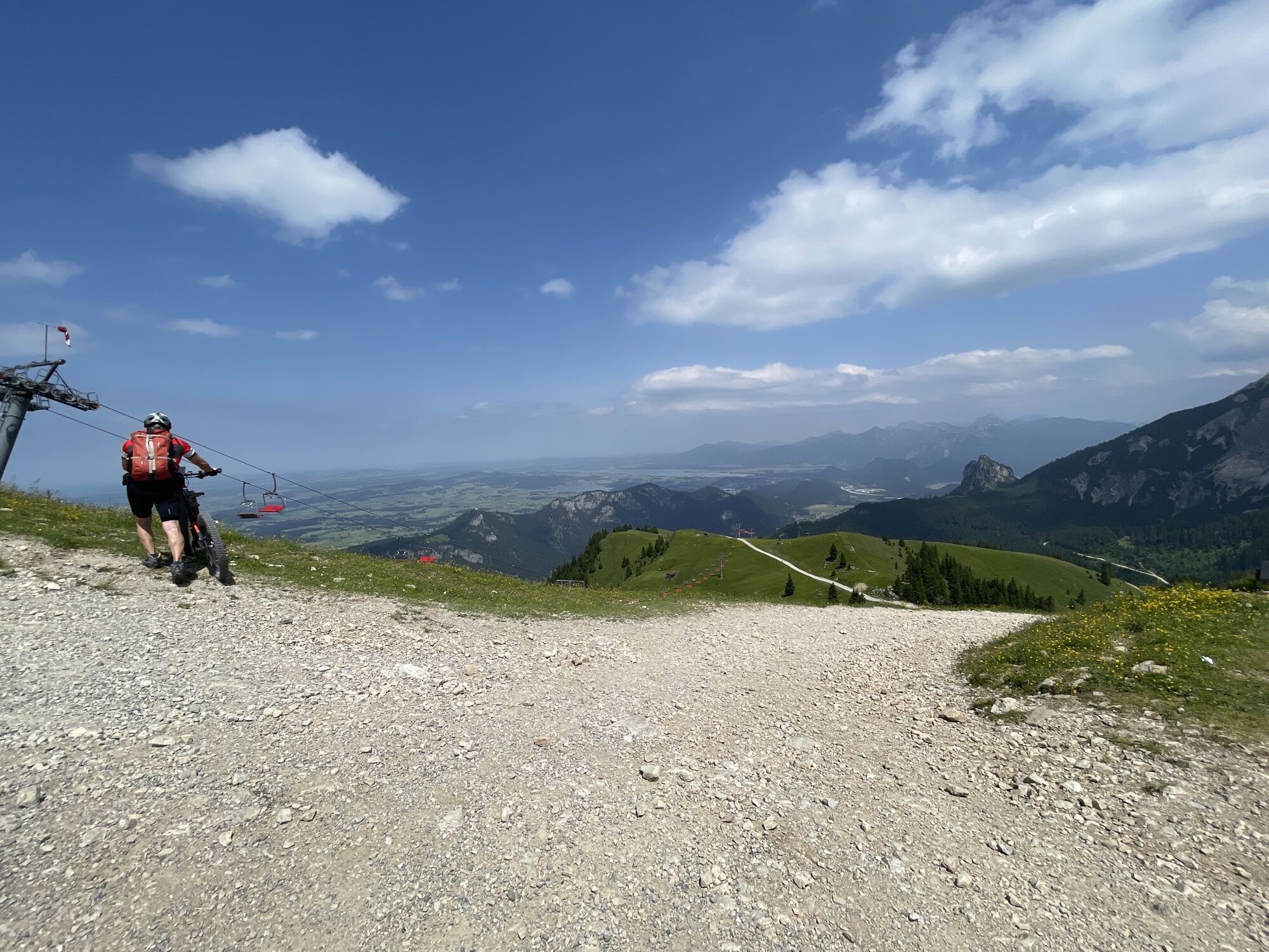
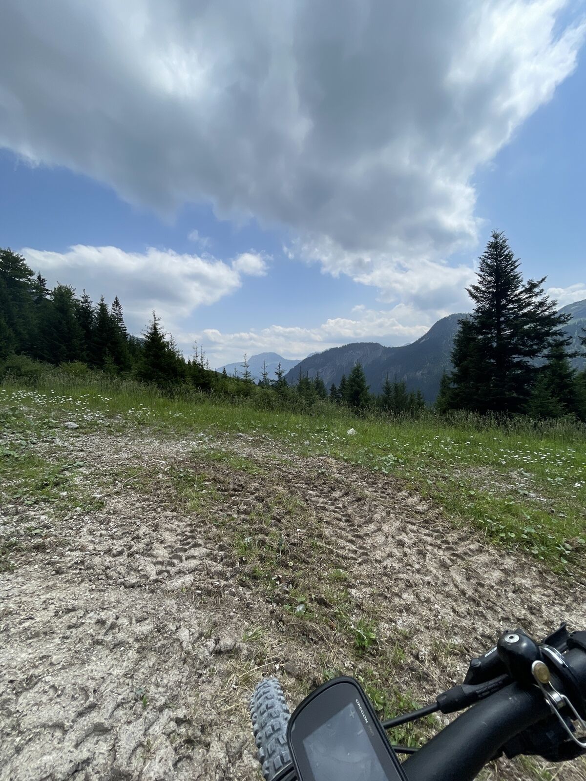
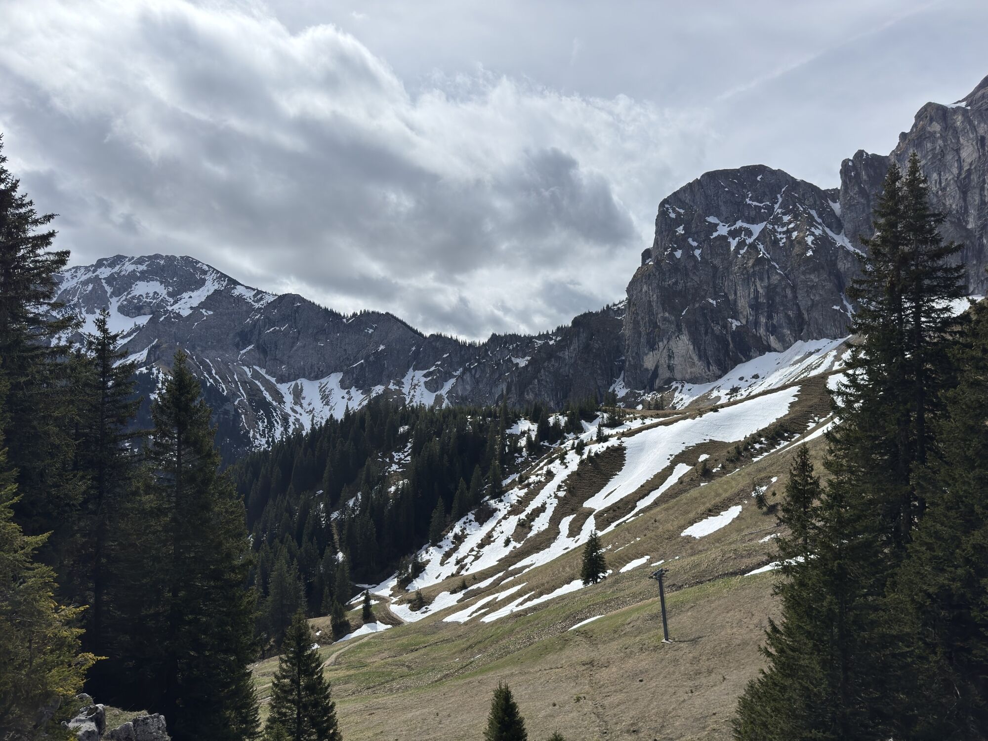
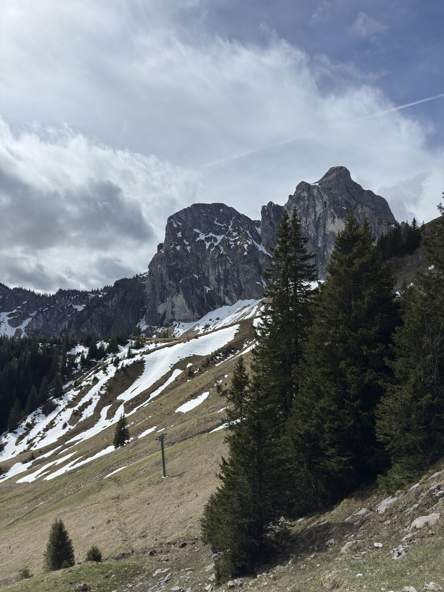
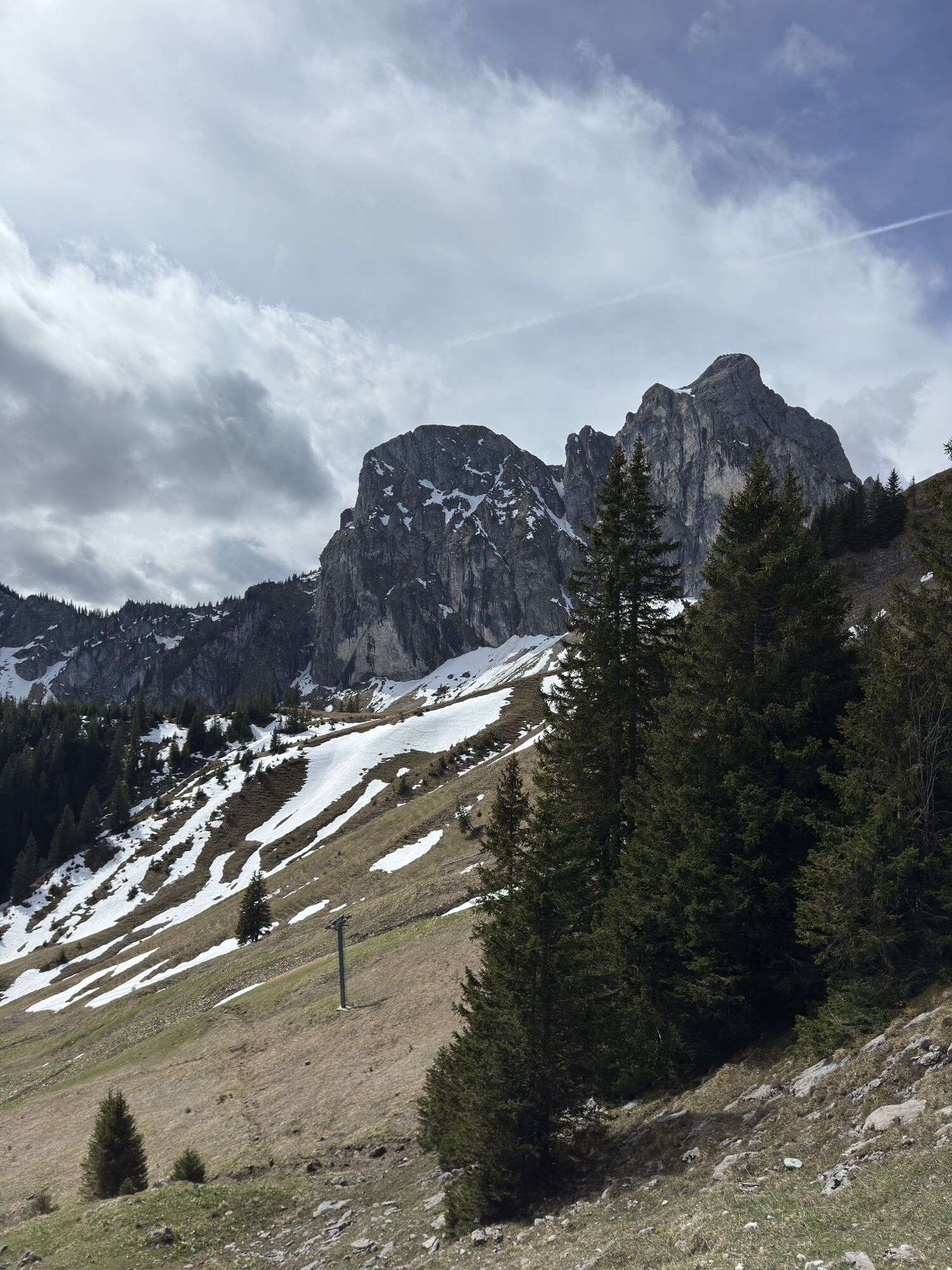
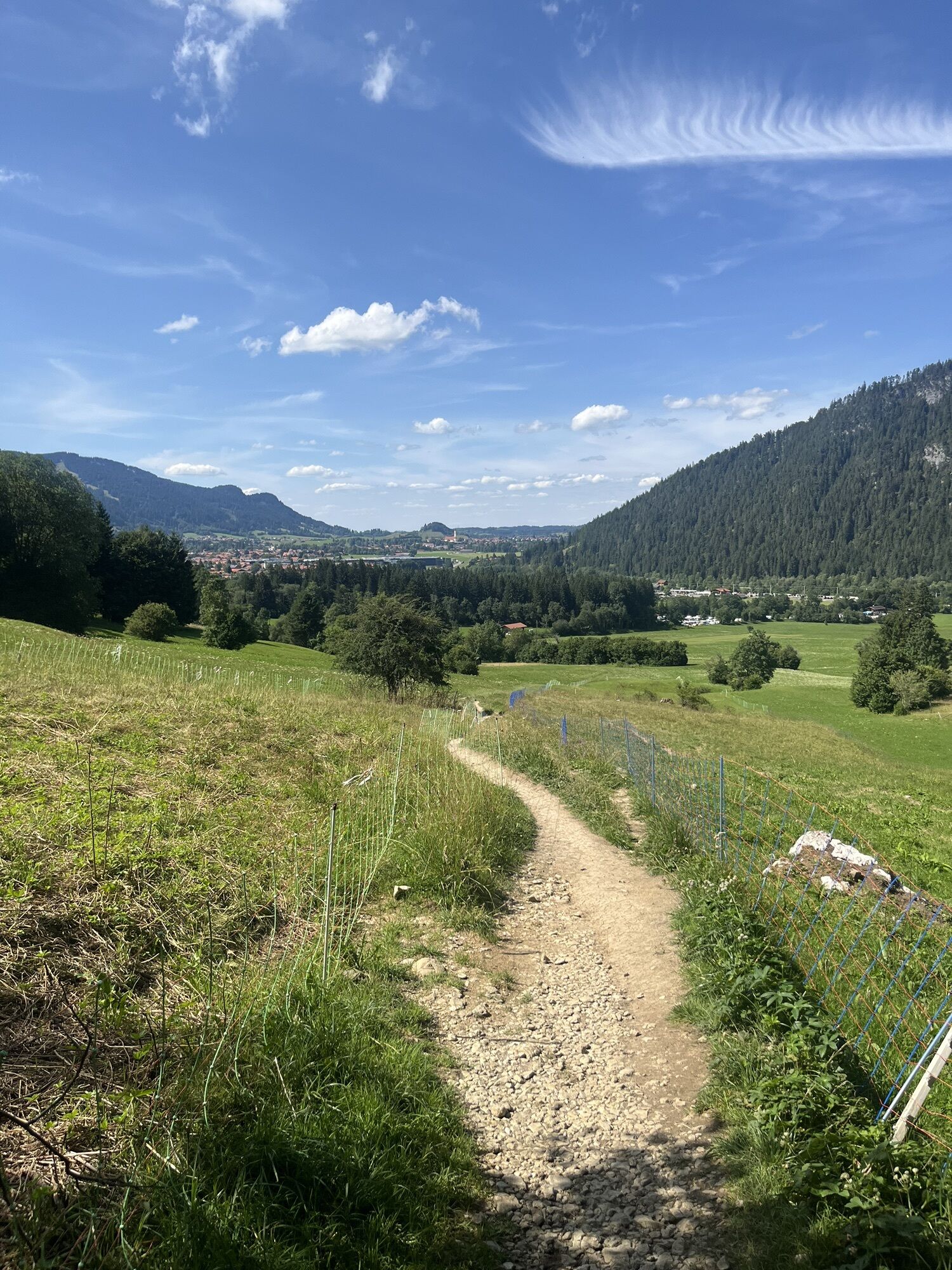
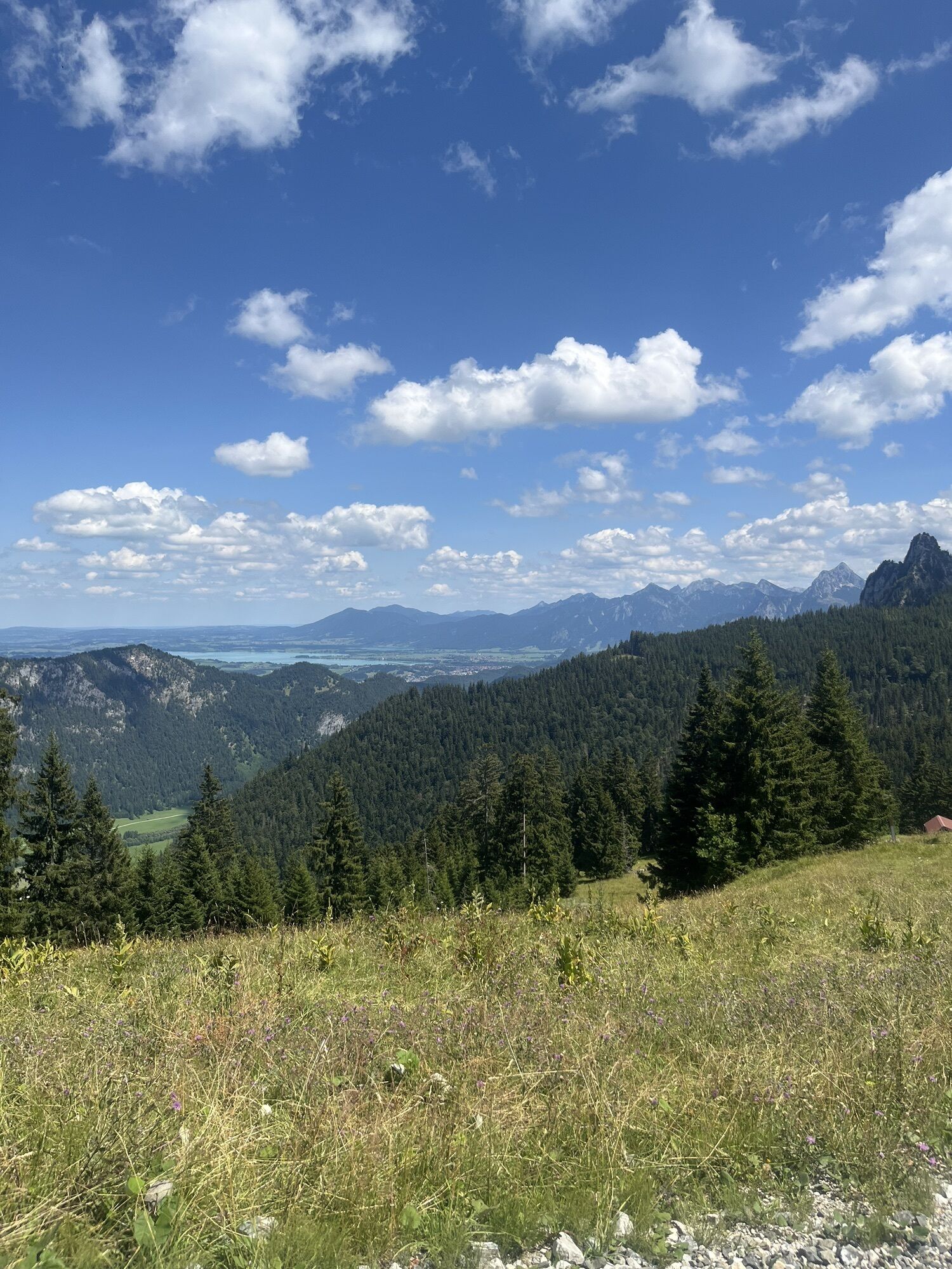
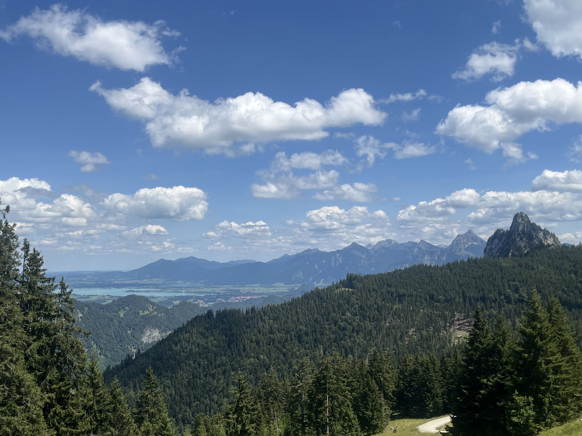
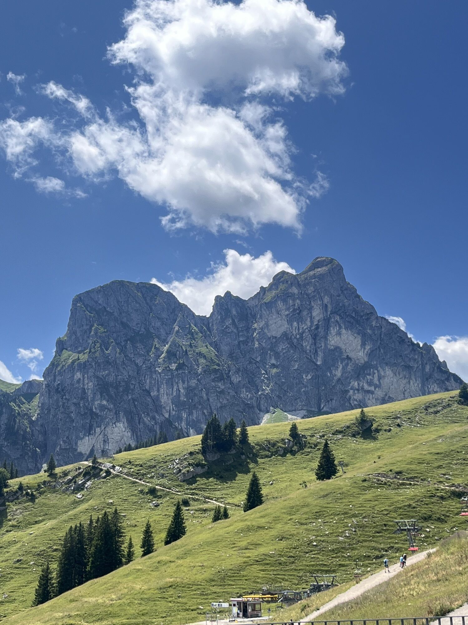
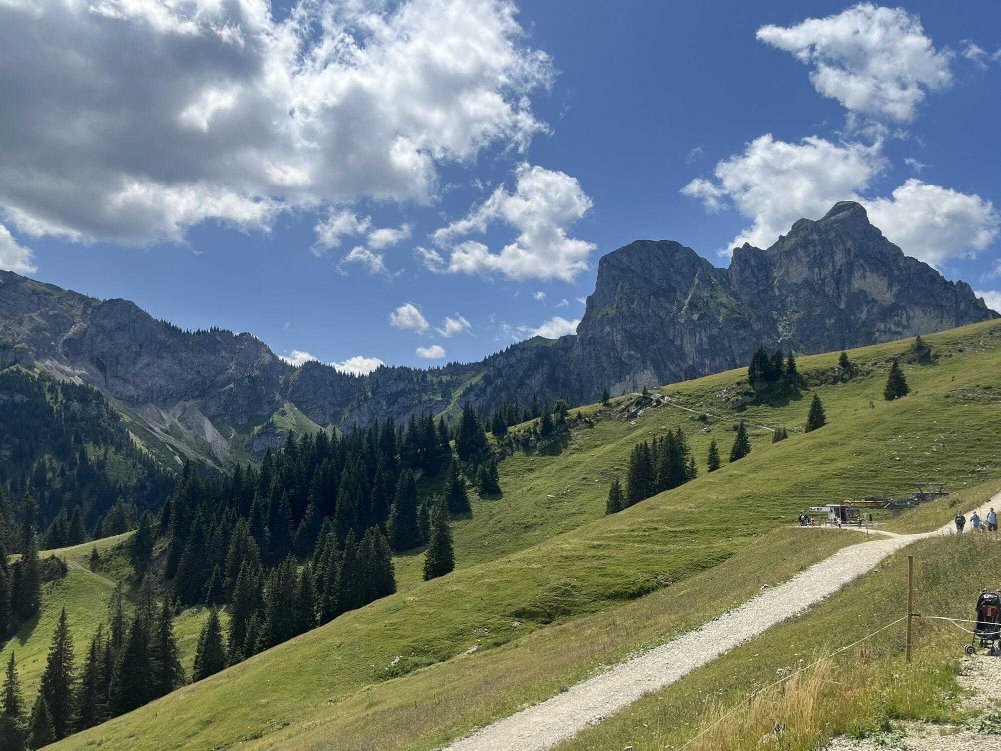
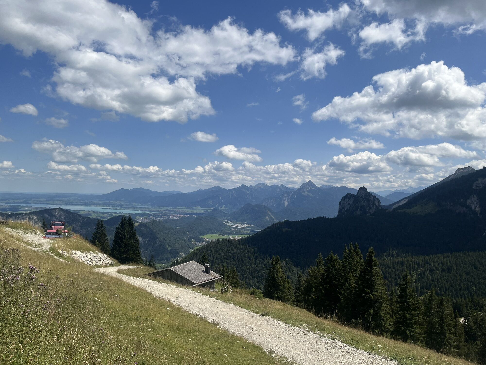
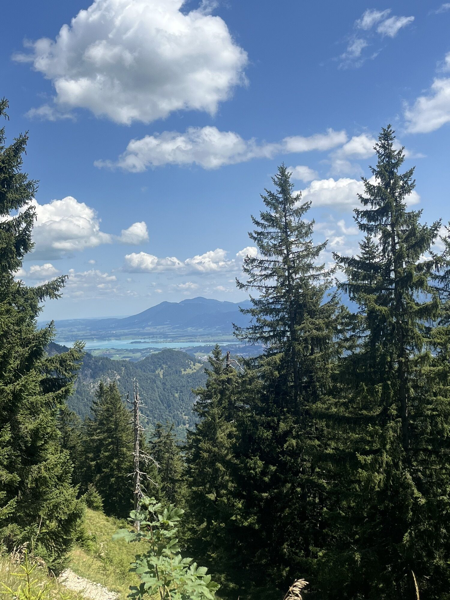
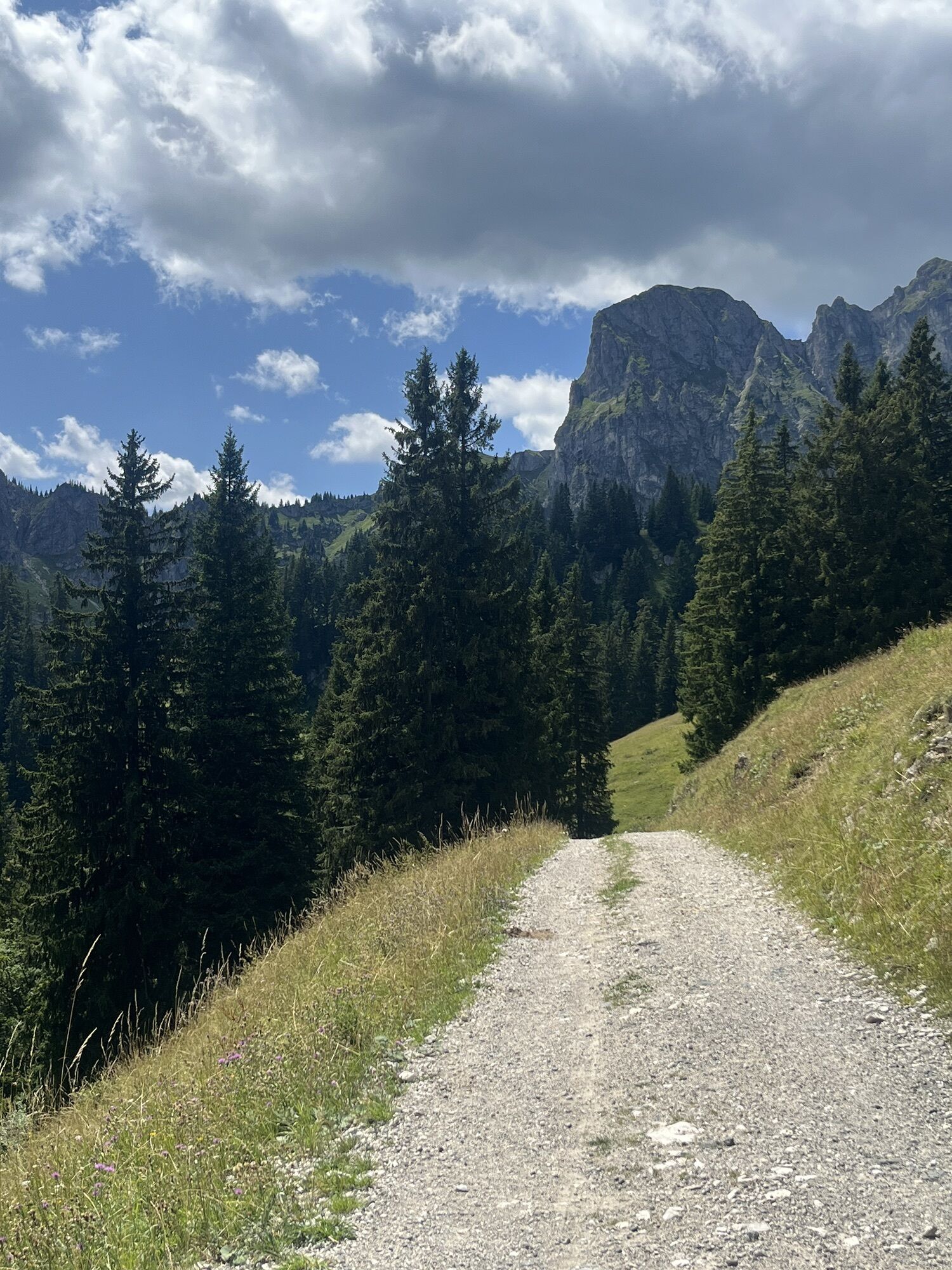
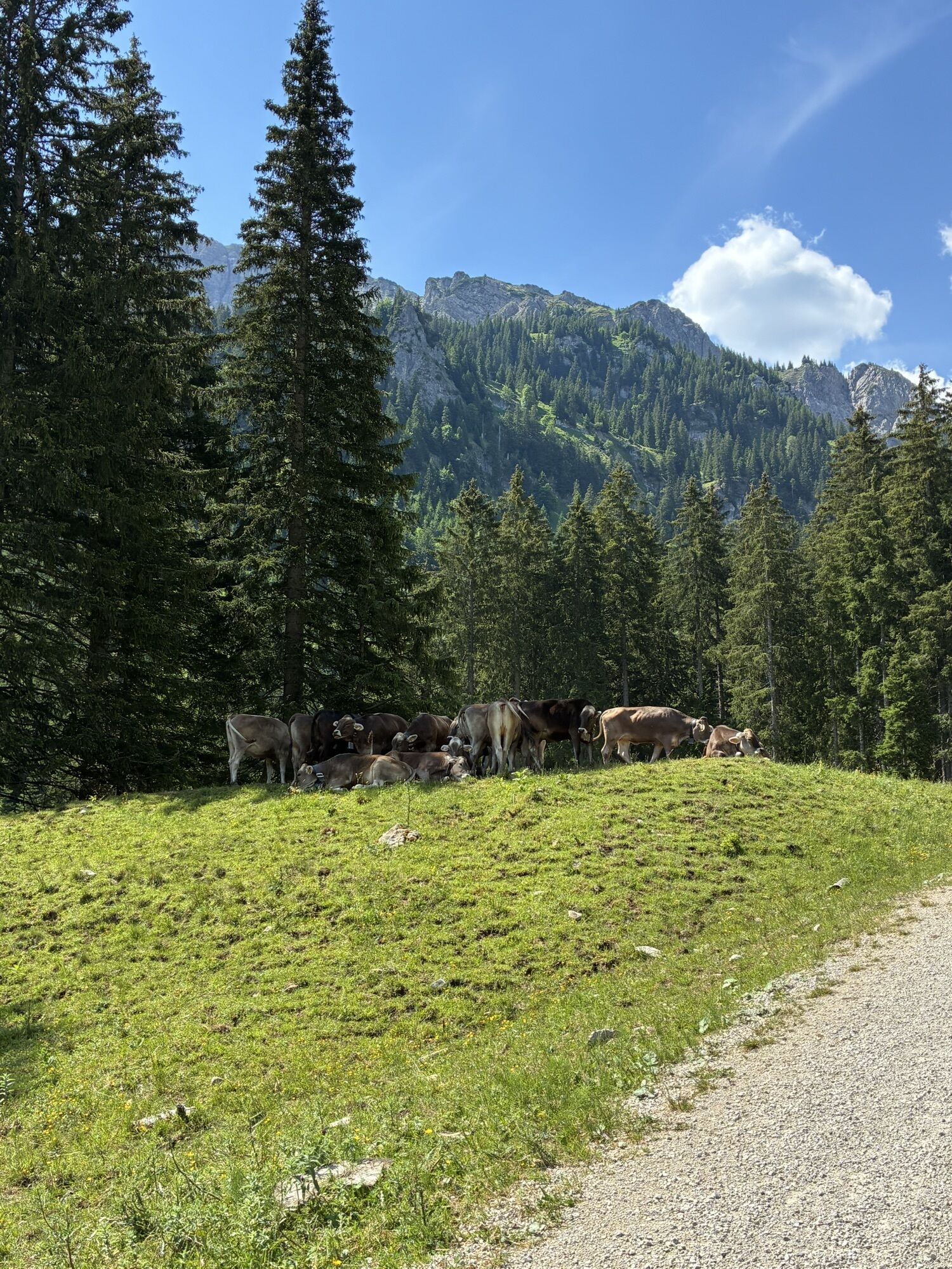
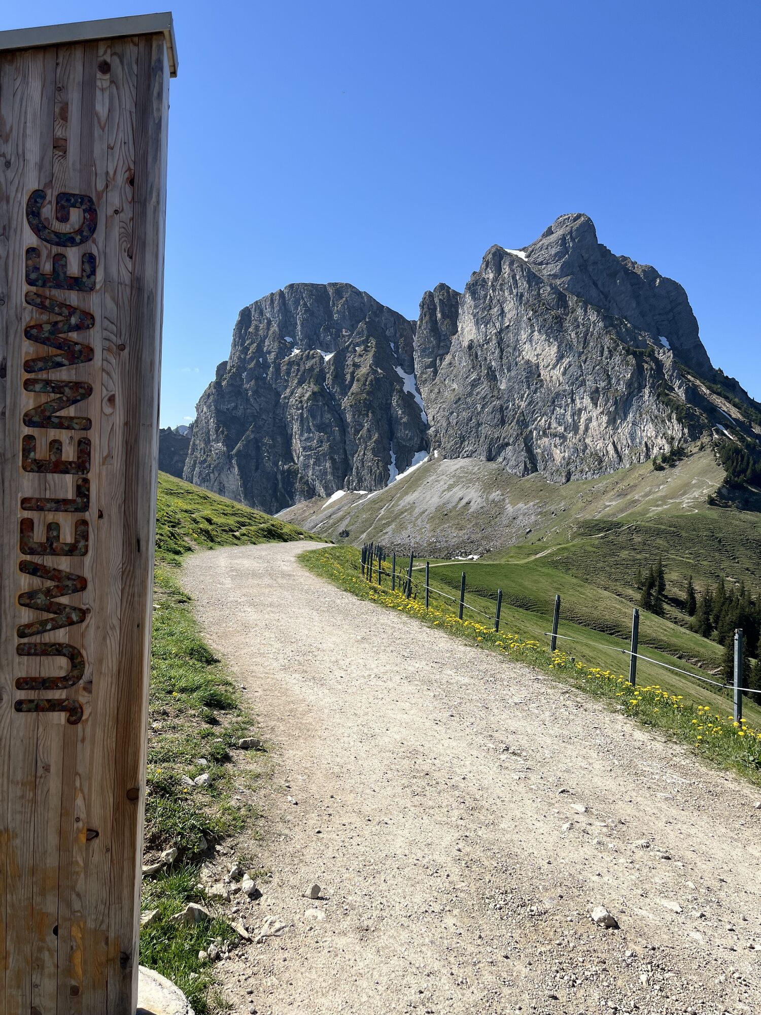
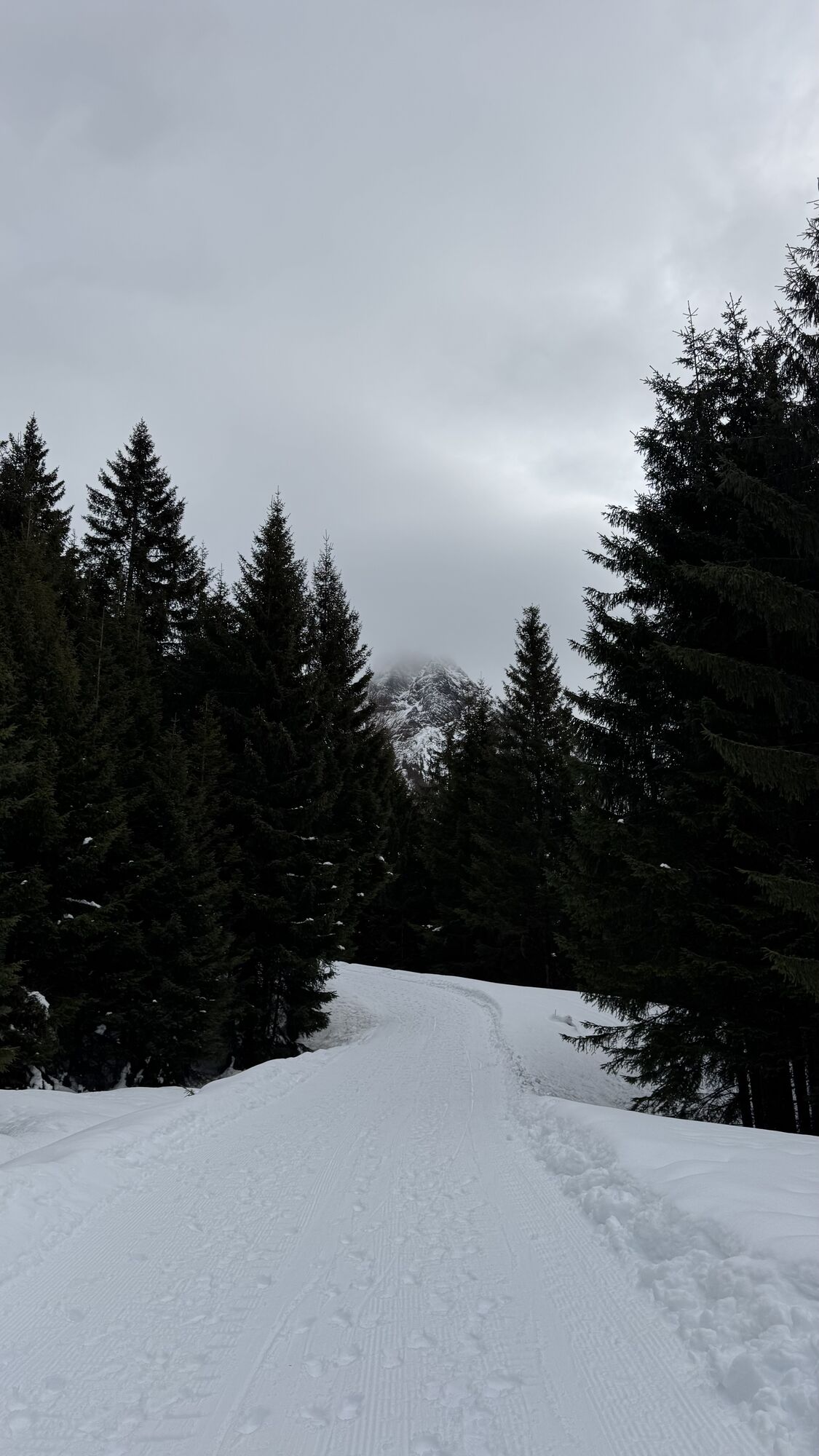
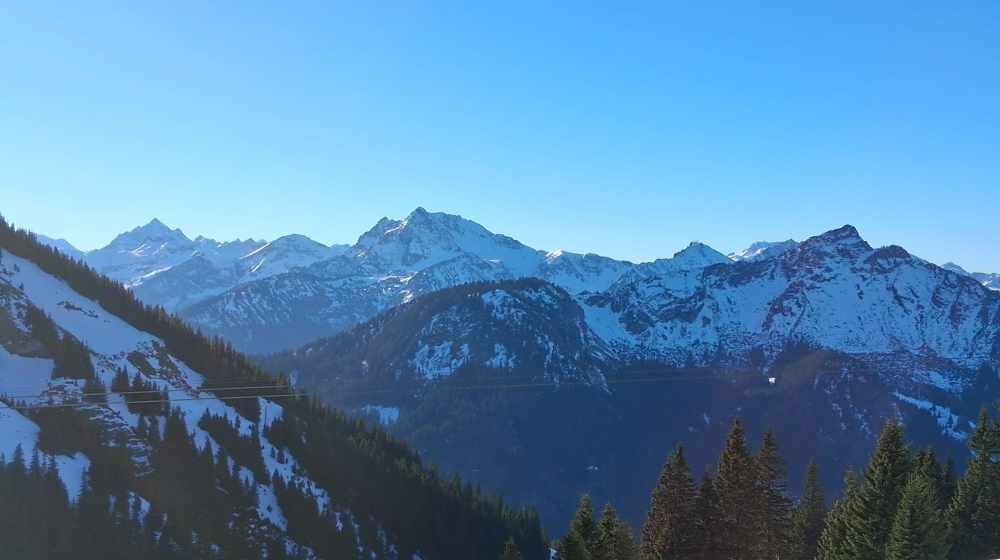
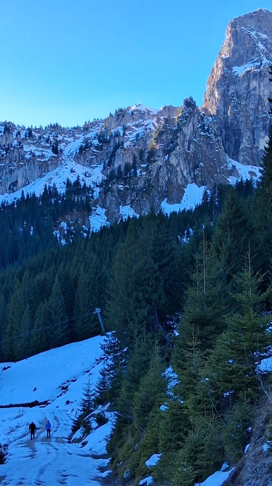

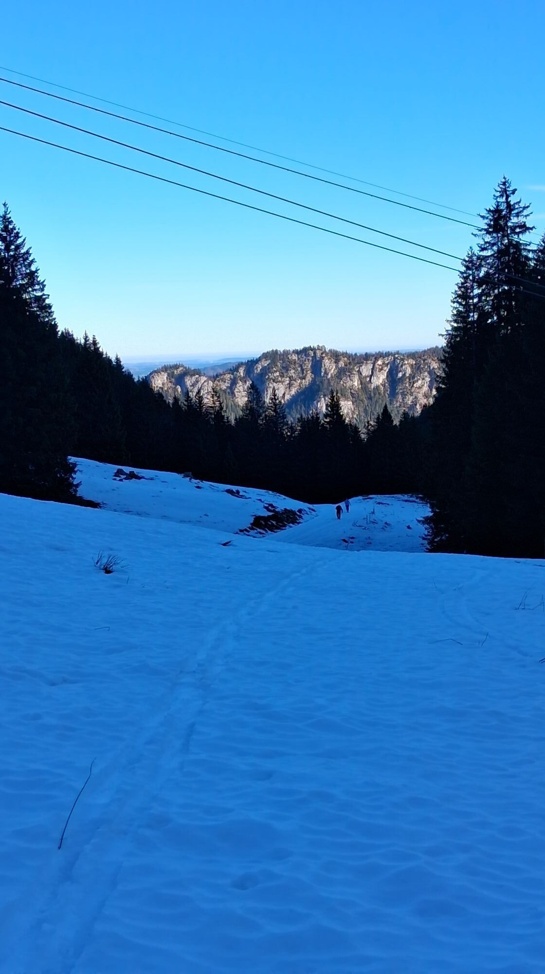

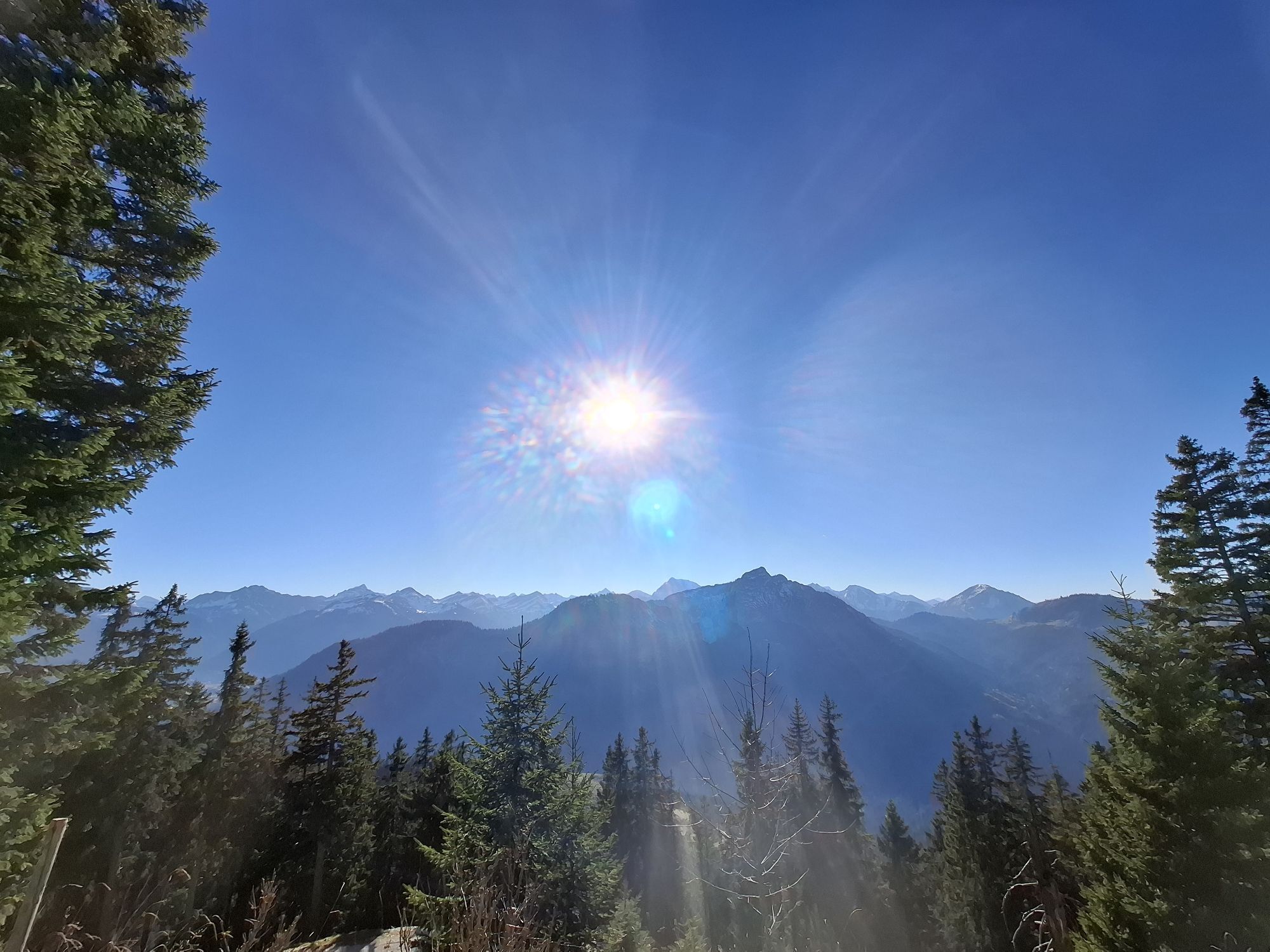
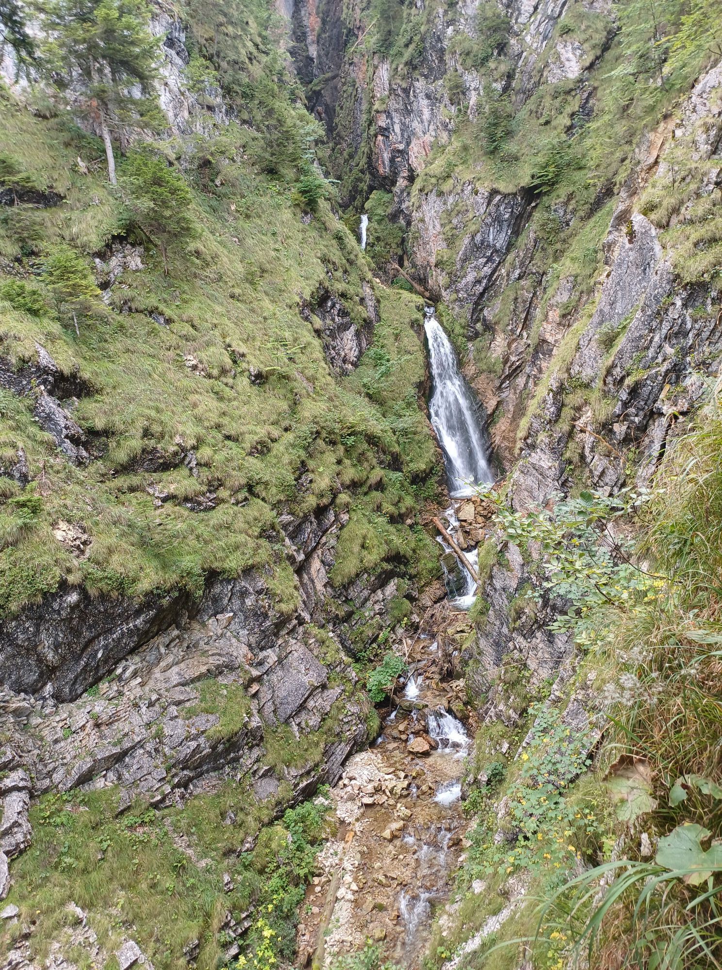
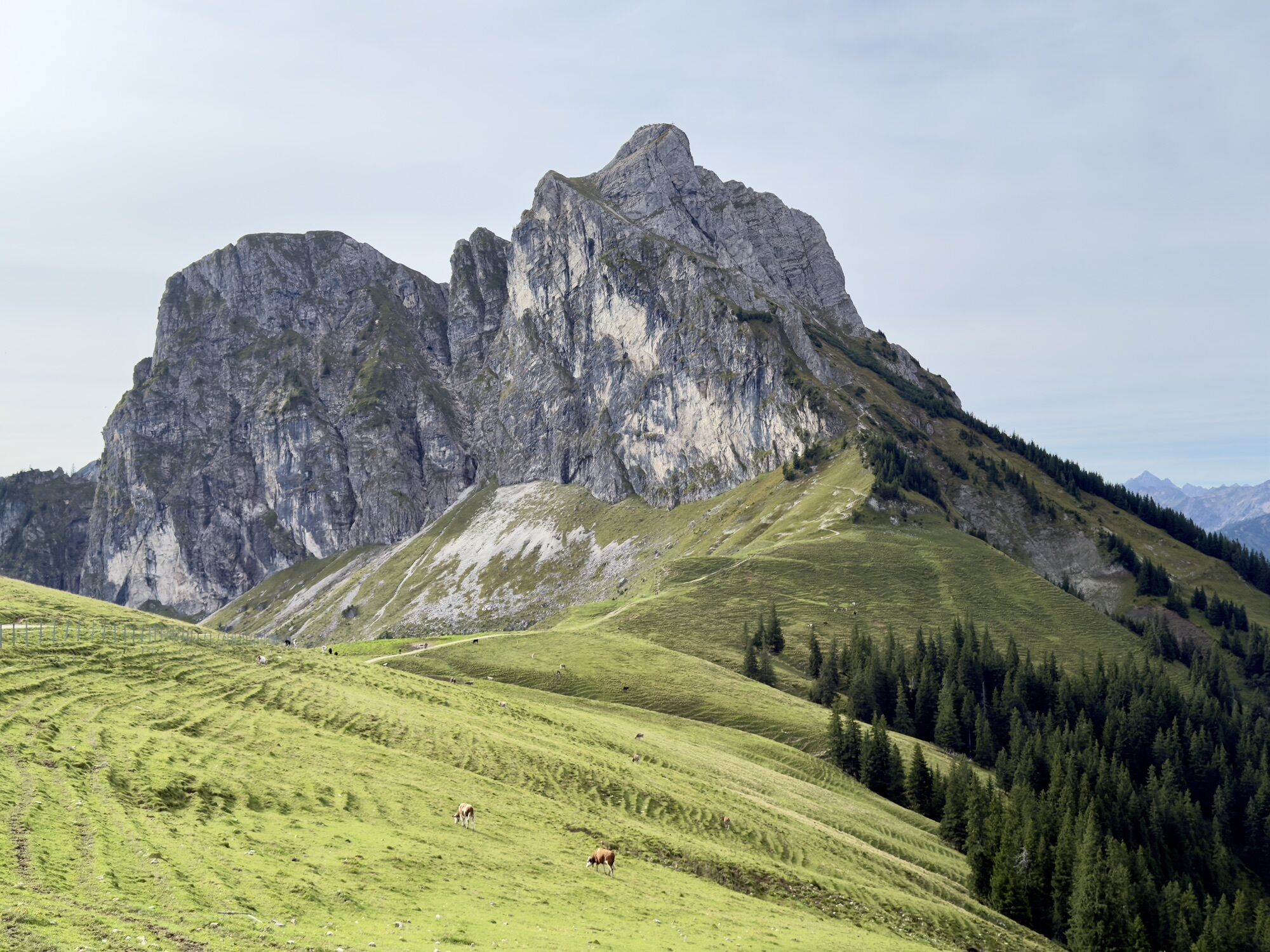
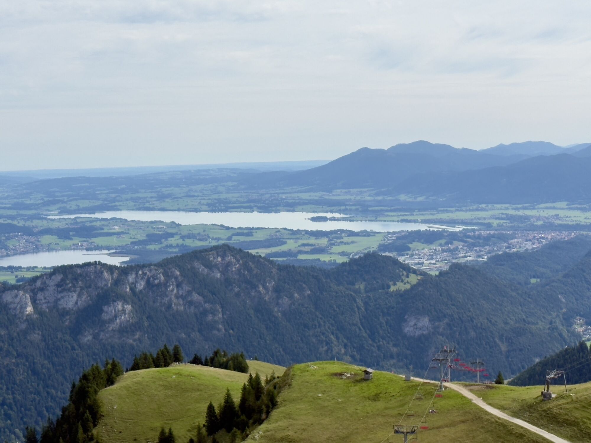
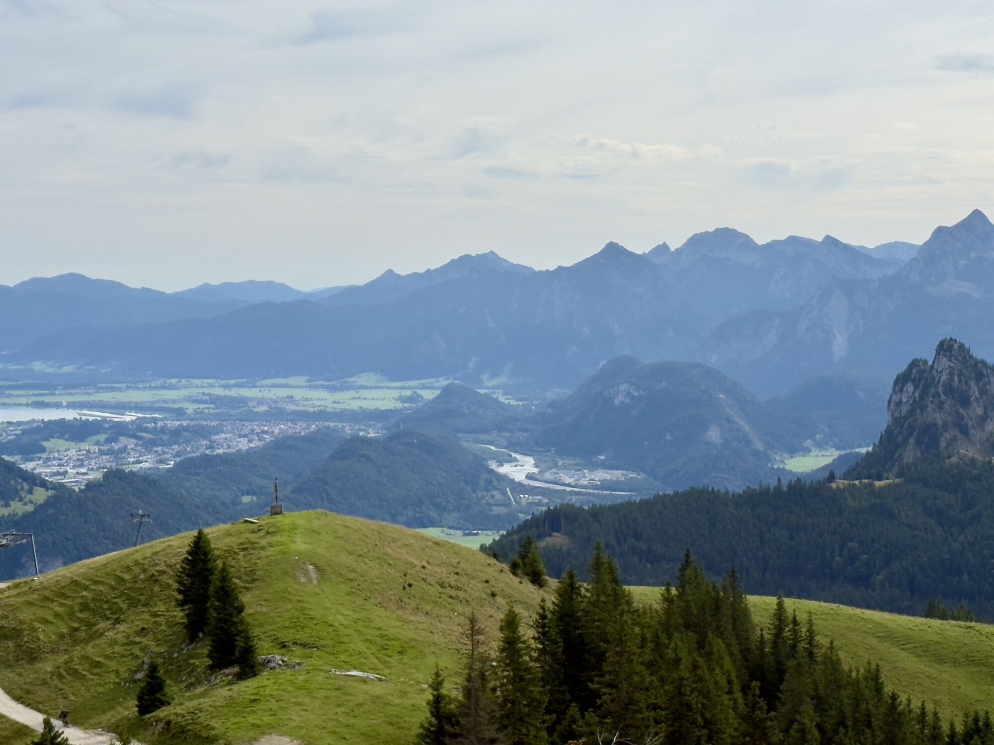
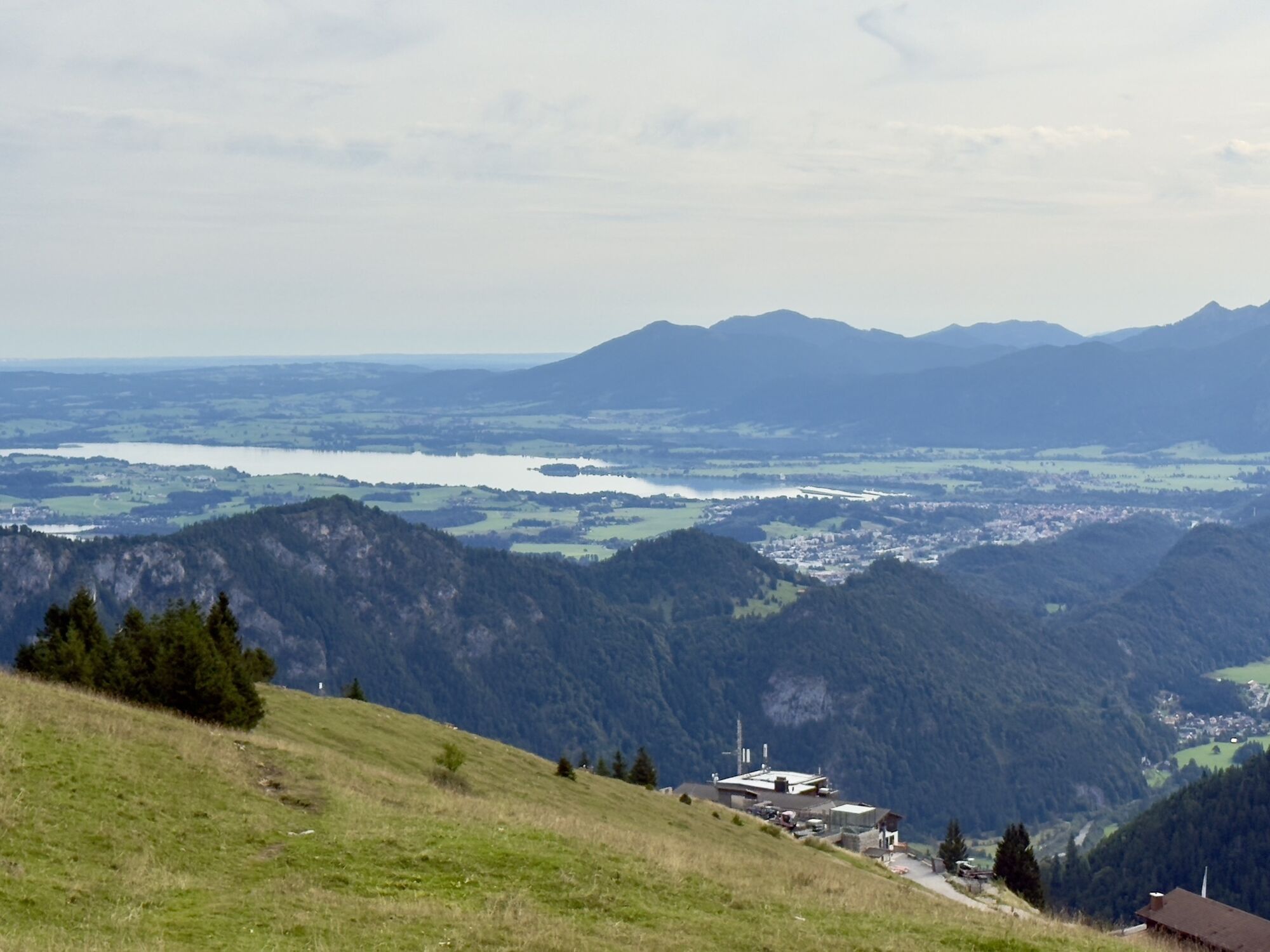
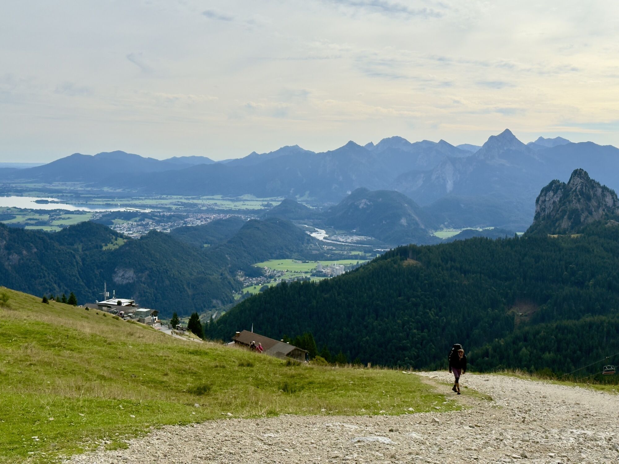
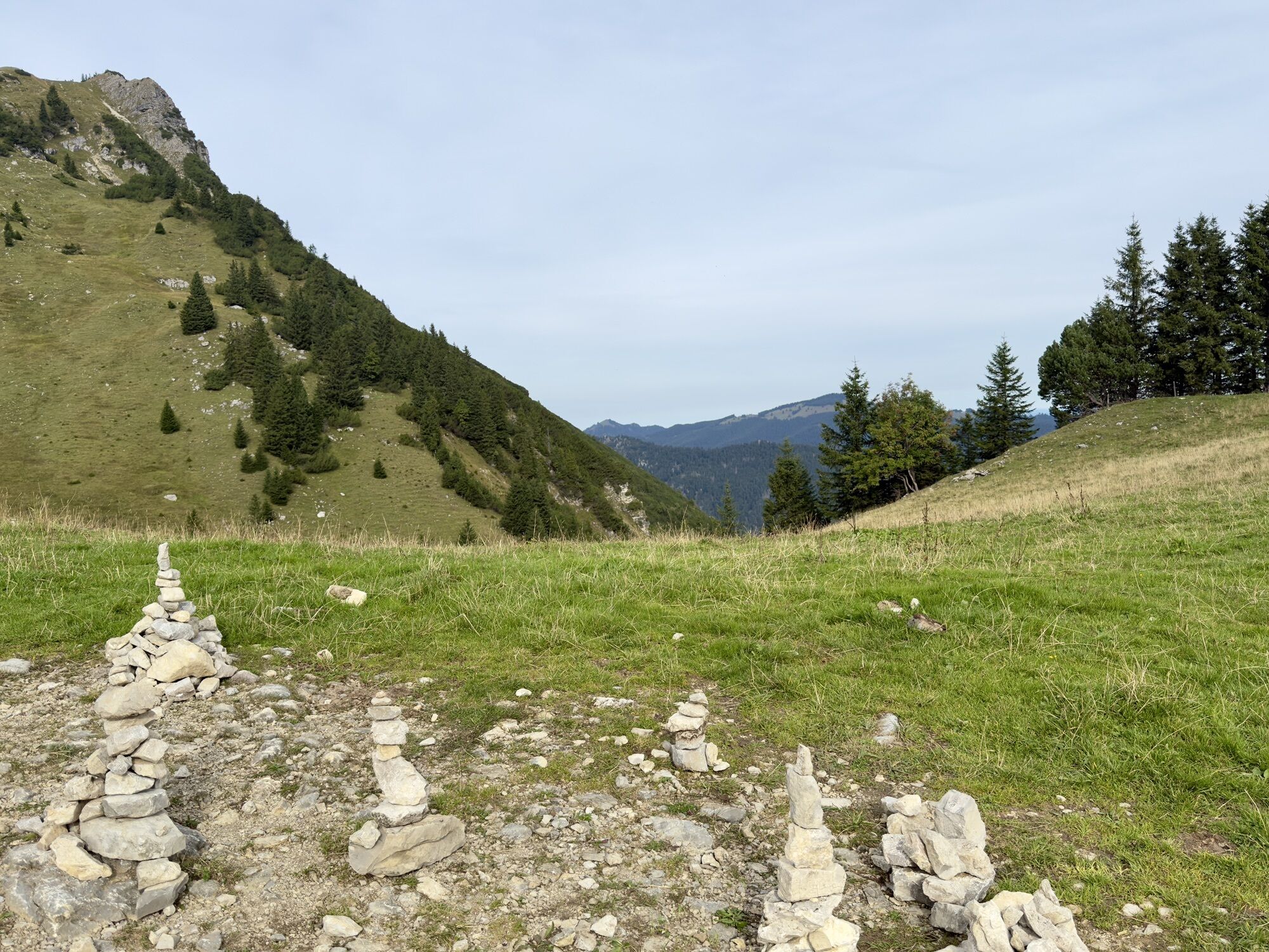
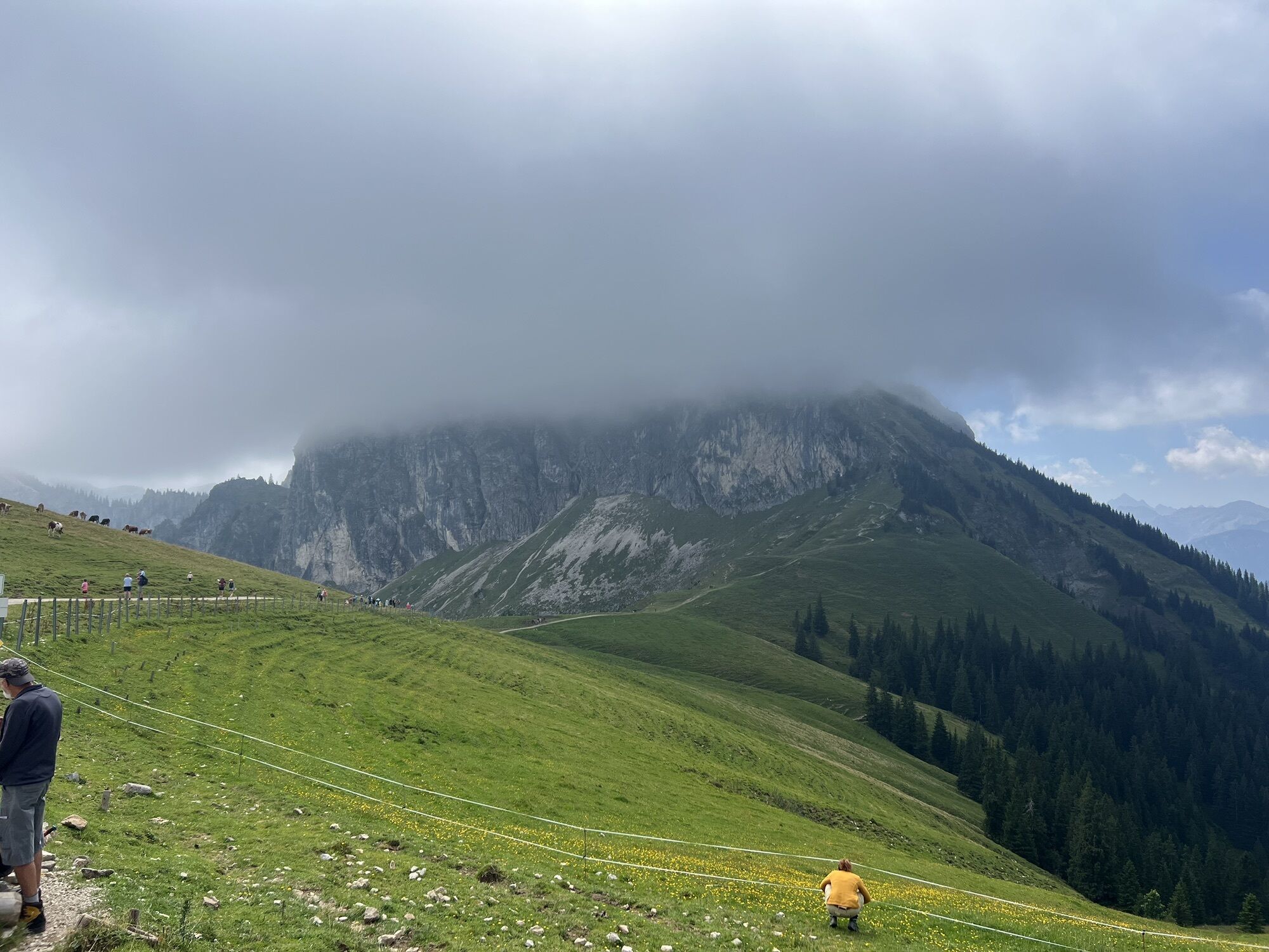
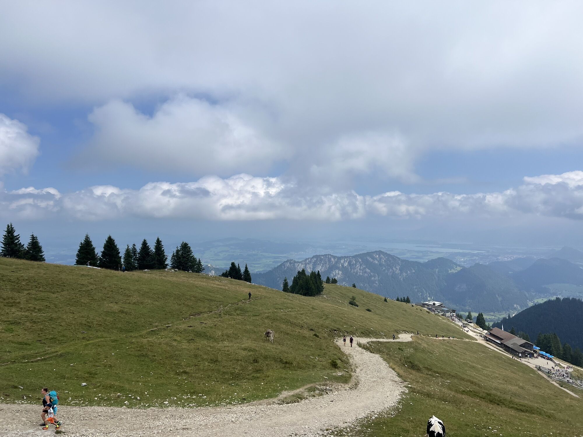
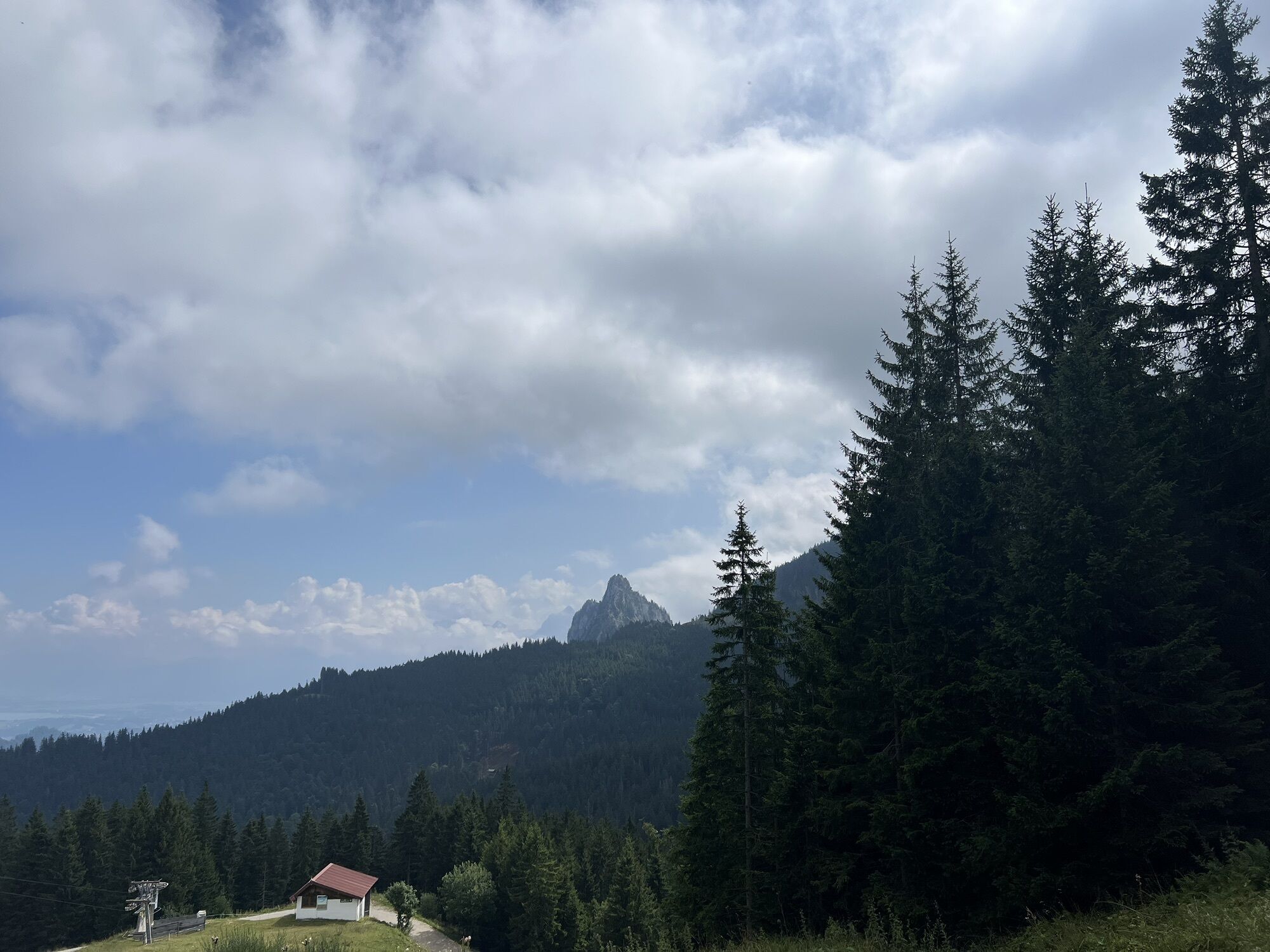
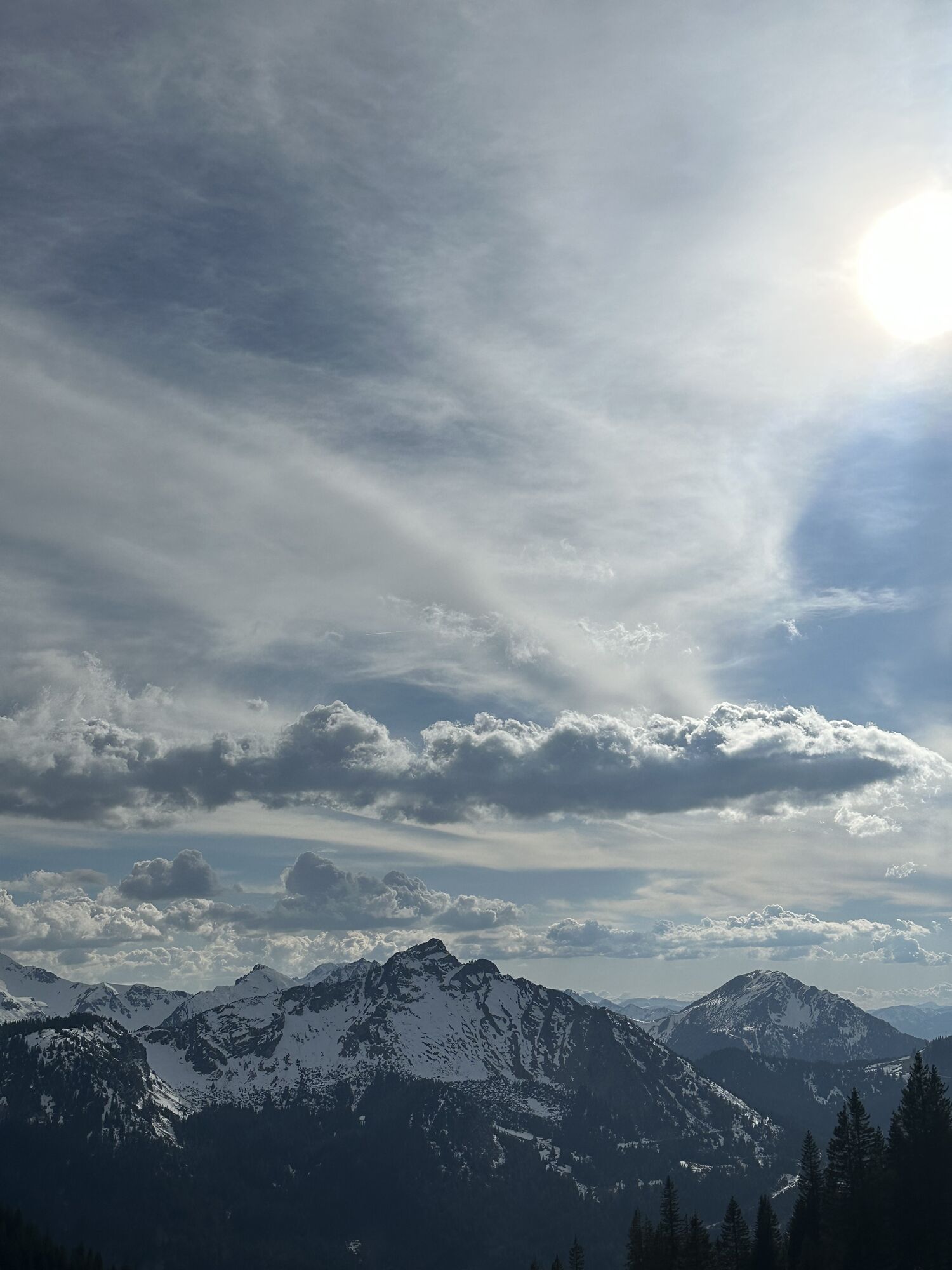
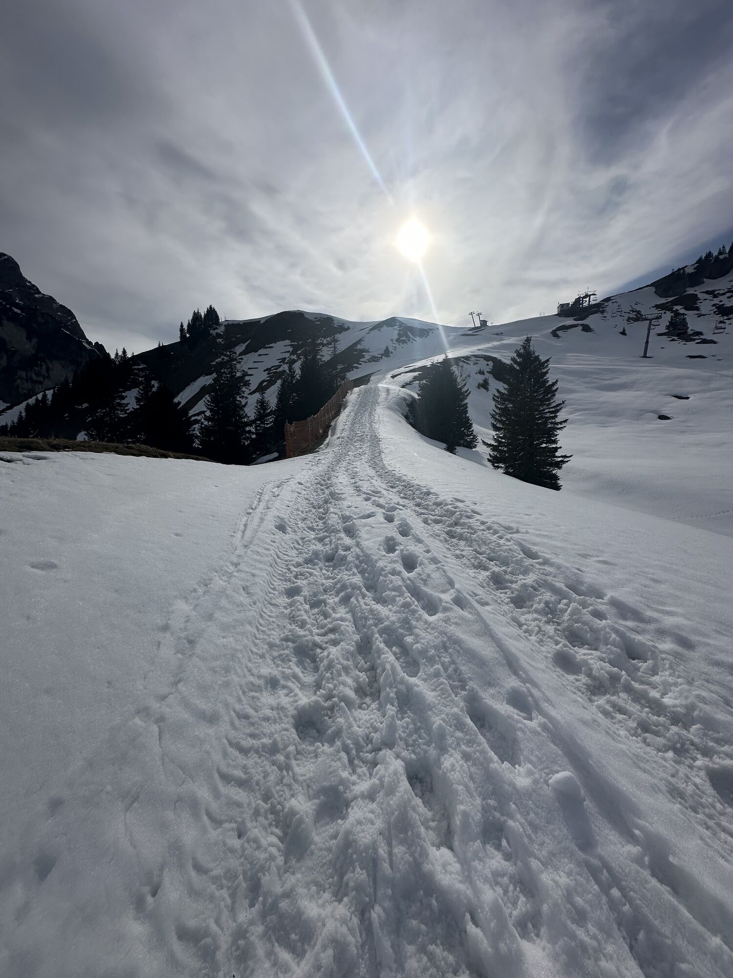
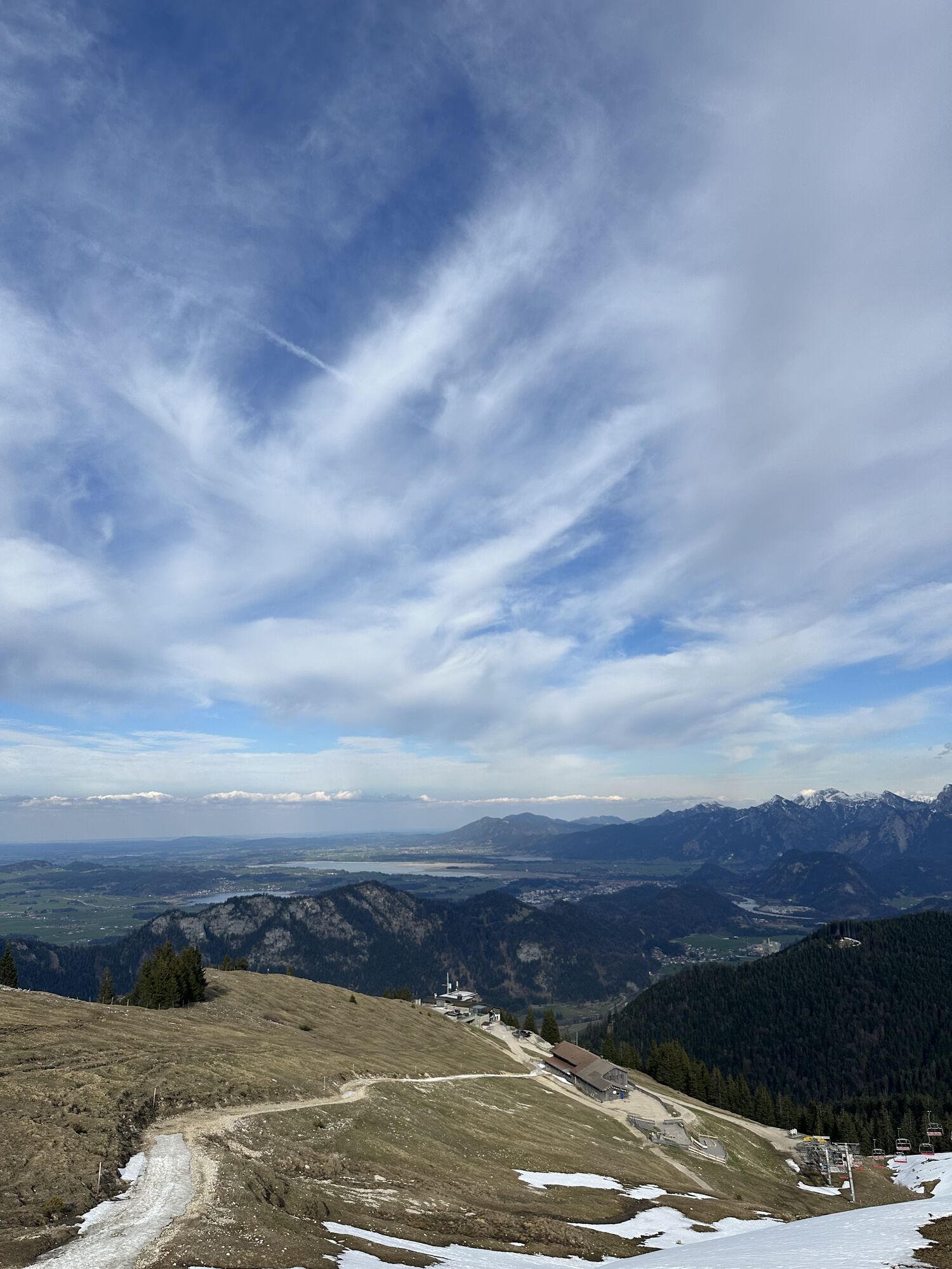
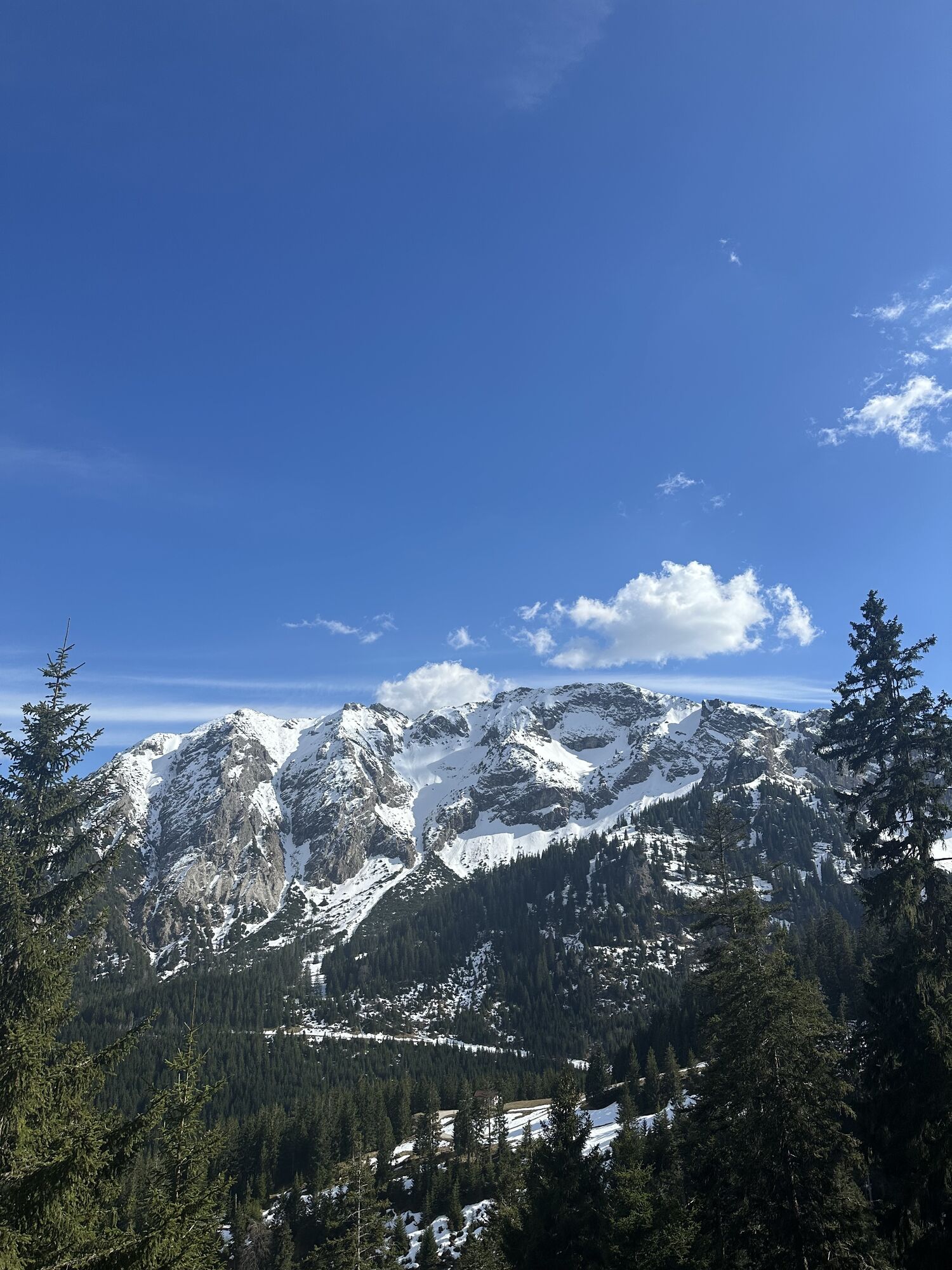
The start is at the Breitenbergbahn valley station. From there, a short meadow section leads south. This then turns right towards Pfronten-Steinach. Via the Fallmühle inn, you reach the Achtal. At the...
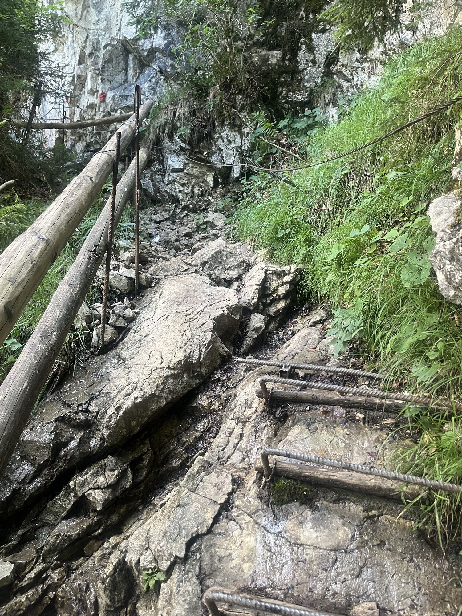
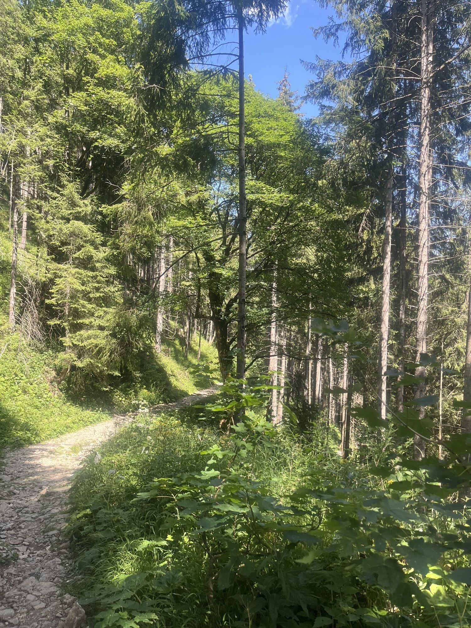
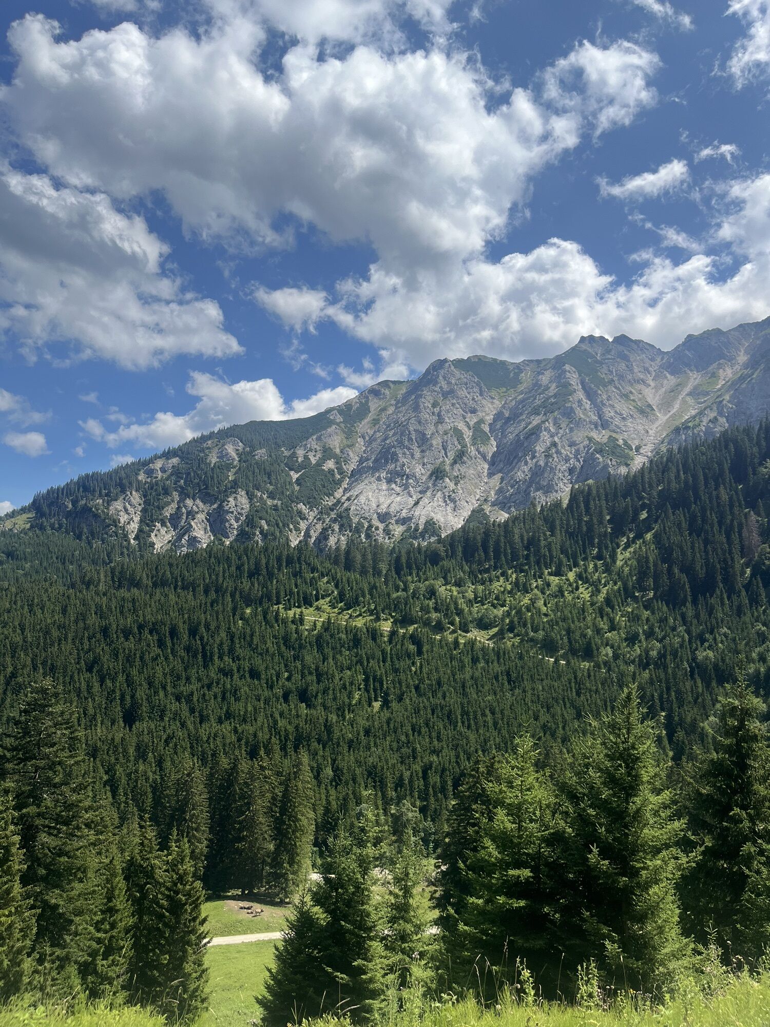
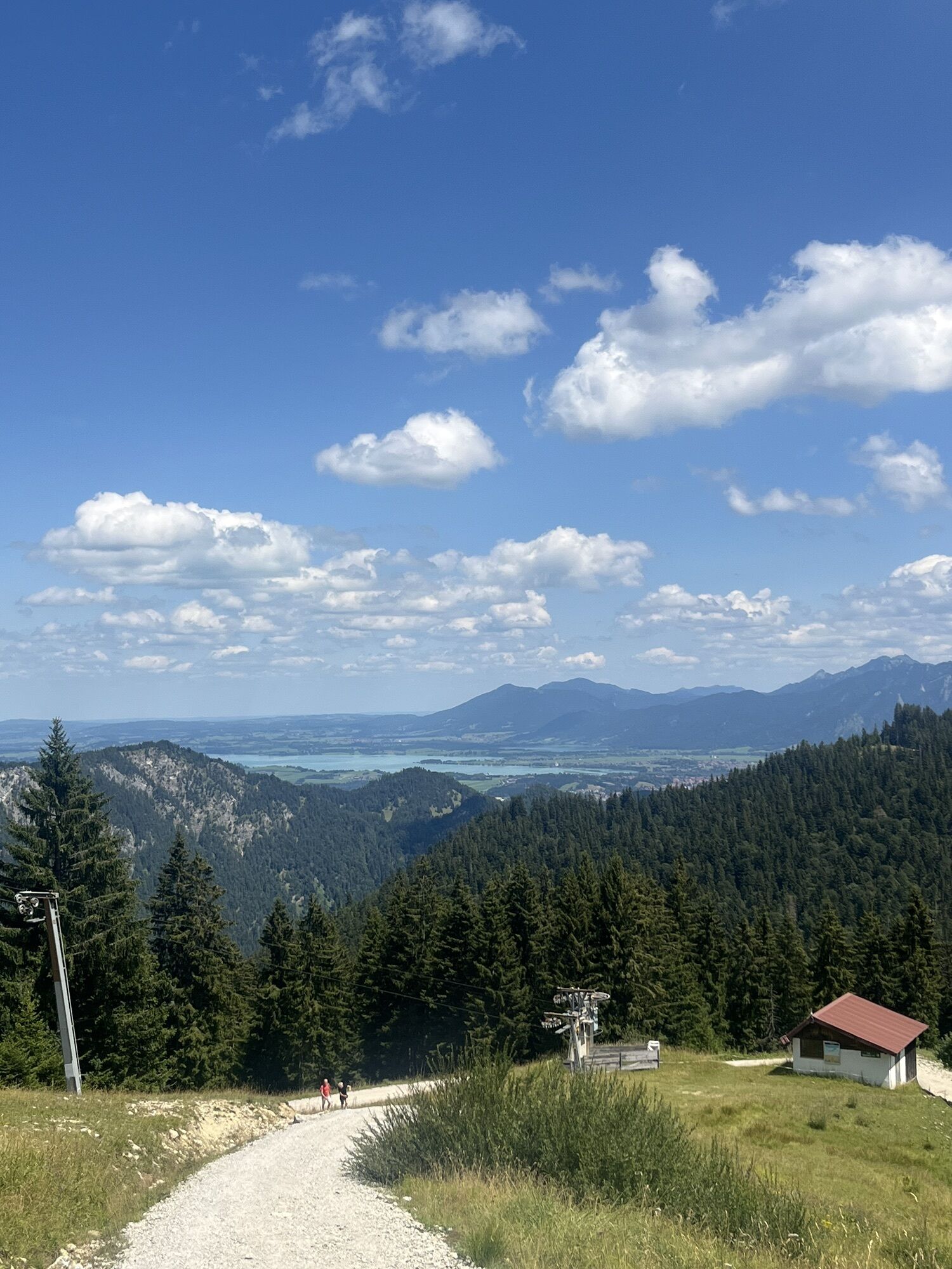
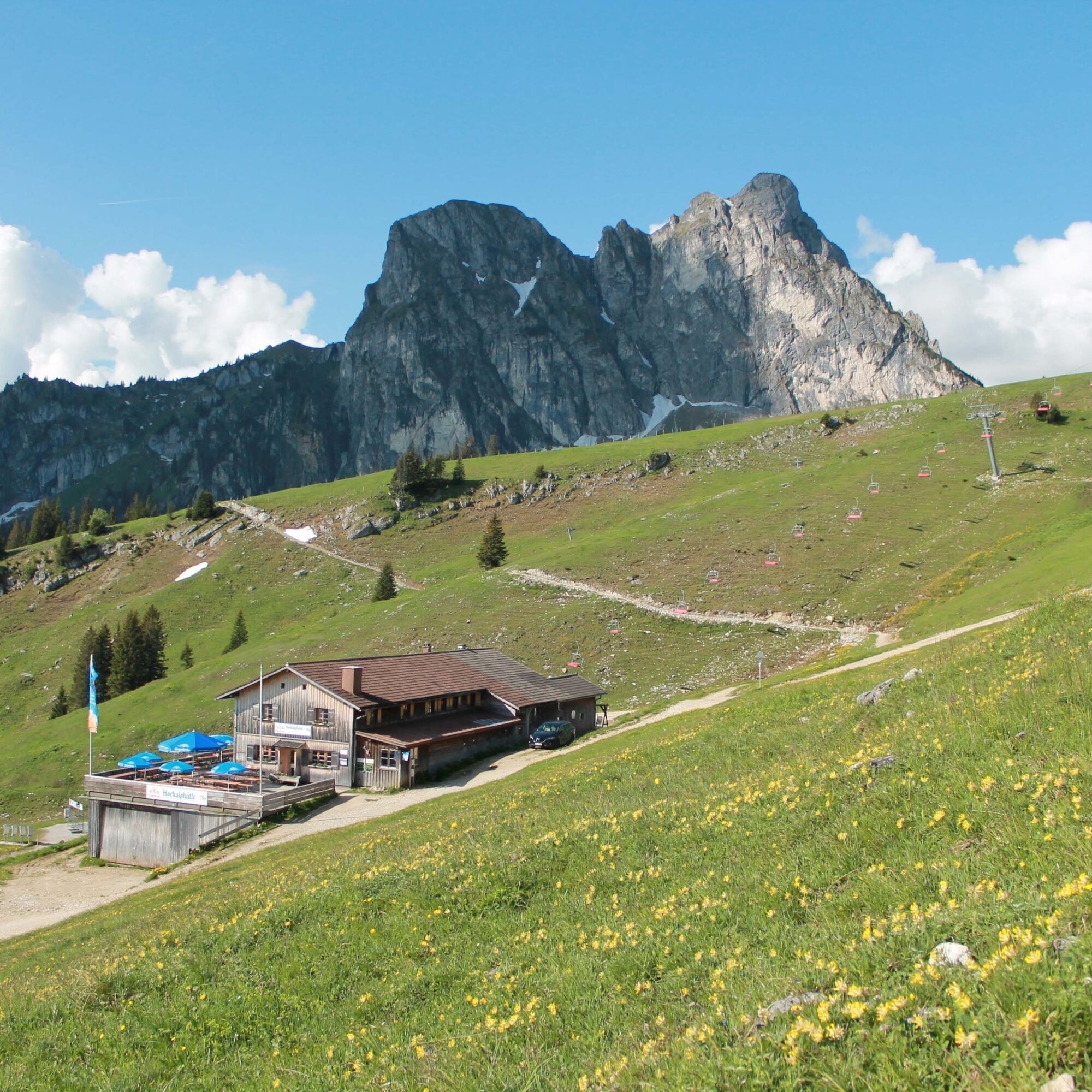
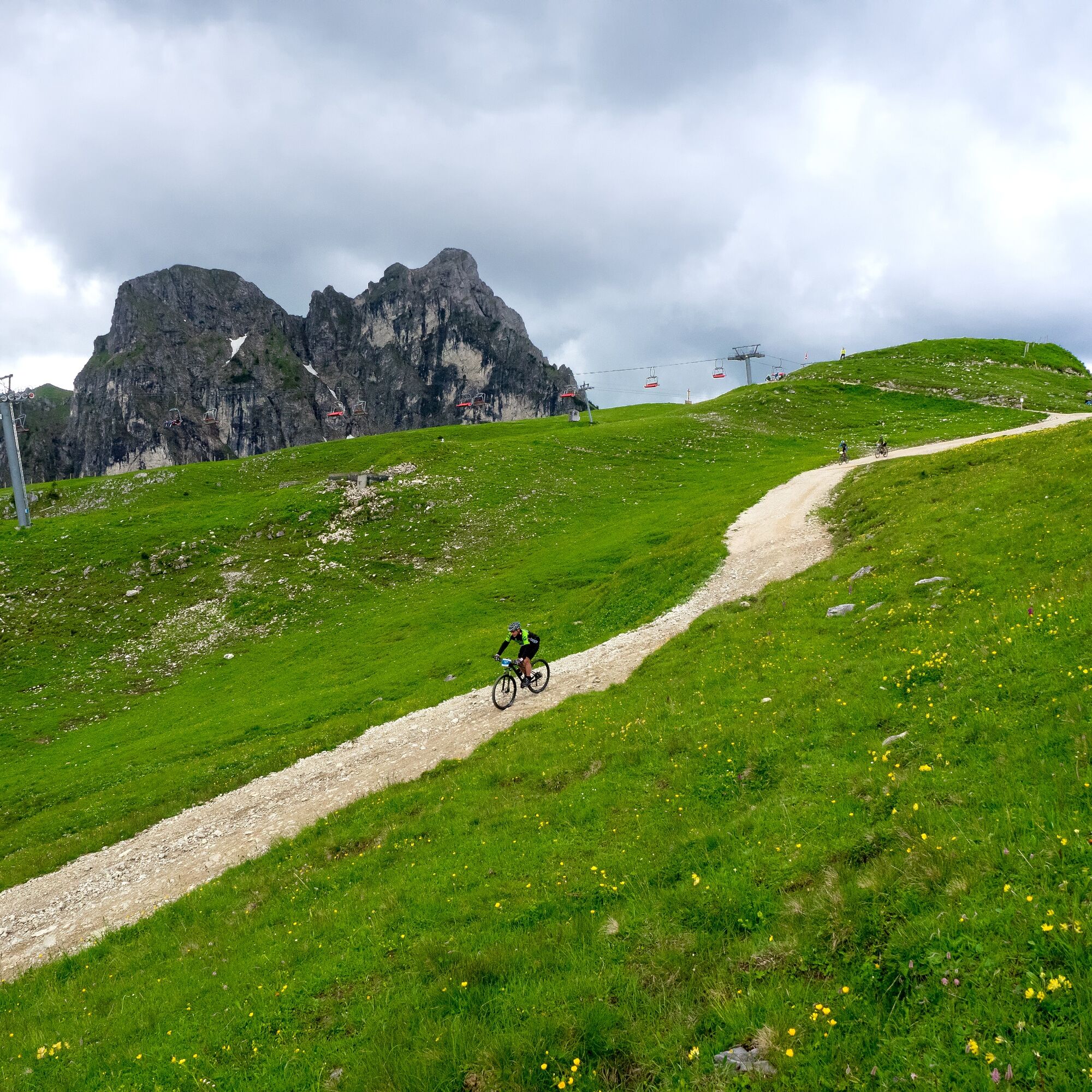
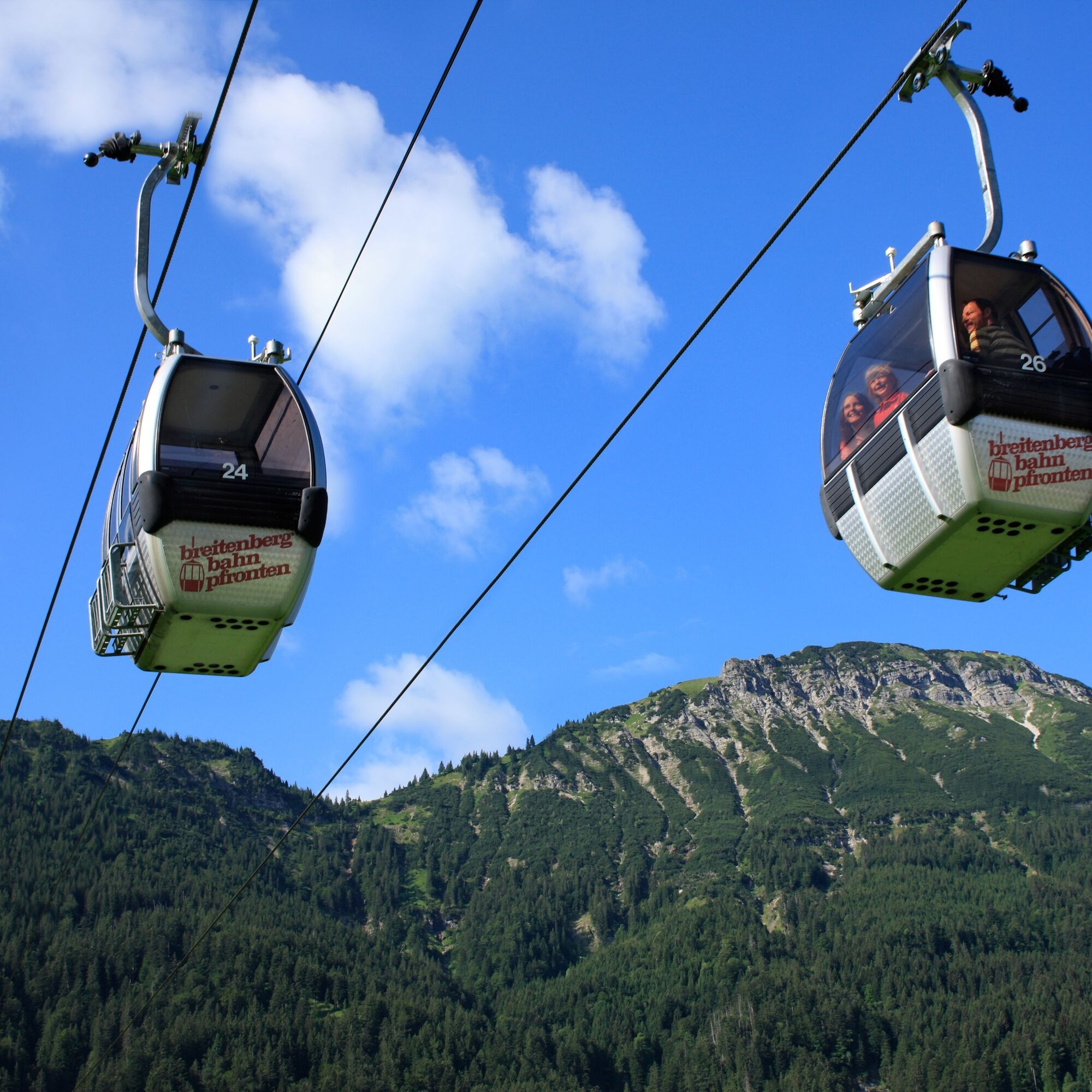
The start is at the Breitenbergbahn valley station. From there, a short meadow section leads south. This then turns right towards Pfronten-Steinach. Via the Fallmühle inn, you reach the Achtal. At the state border, turn left up onto the southern side of Breitenberg. Then it goes over the saddle north of Aggenstein. From here, a detour on foot to the north to the Ostler hut is possible, where a great panoramic view and a delicious place to eat await. If you do not want to make a detour, continue downhill towards Hochalphütte (place to eat). Please note: there are sections with loose scree on Breitenberg. Risk of falling! It may be advisable to get off and push your bike here! From there, the descent goes through the Plattenbachtal valley and below the gondola route. After the hairpin bends, keep left, from there it goes back to the Breitenbergbahn valley station.

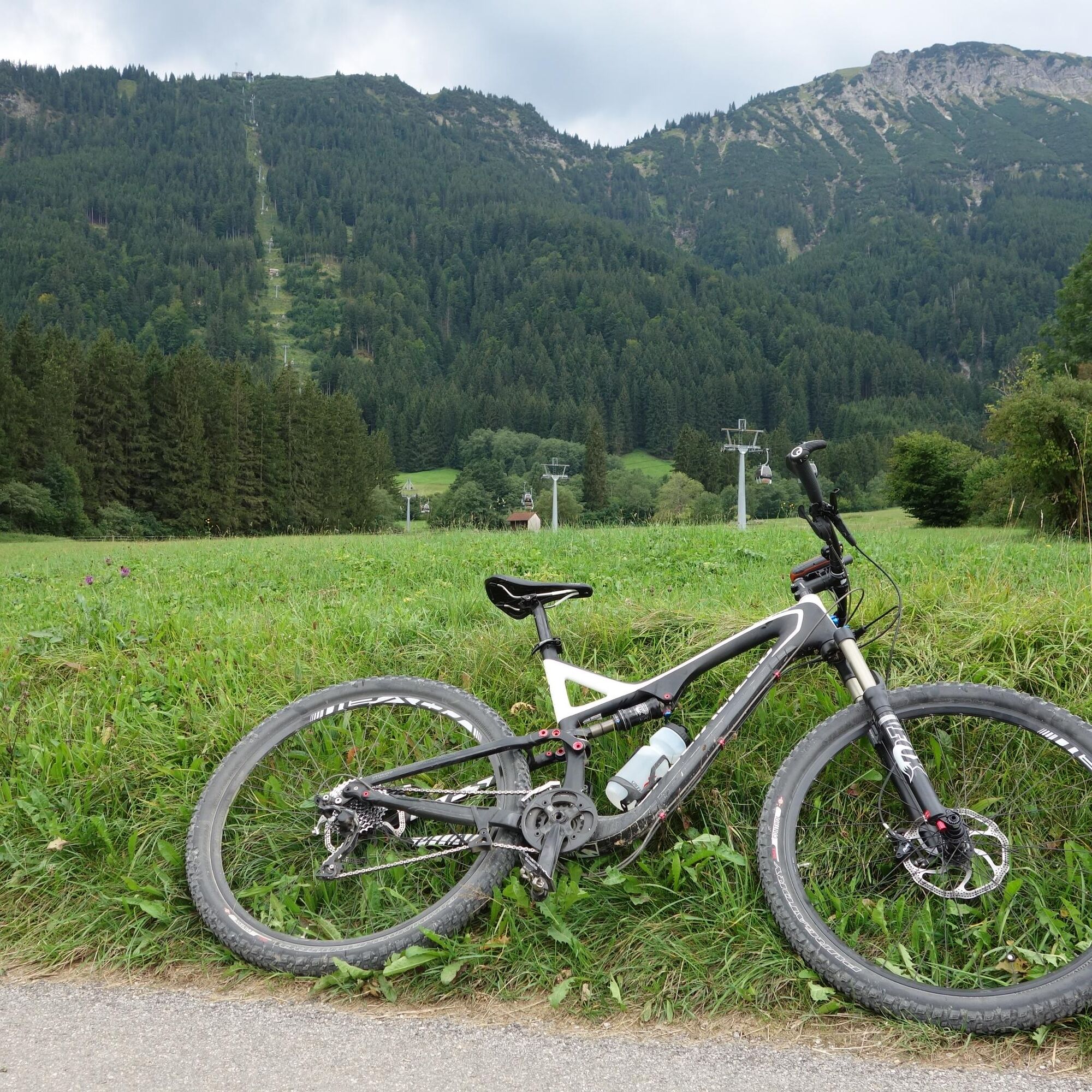
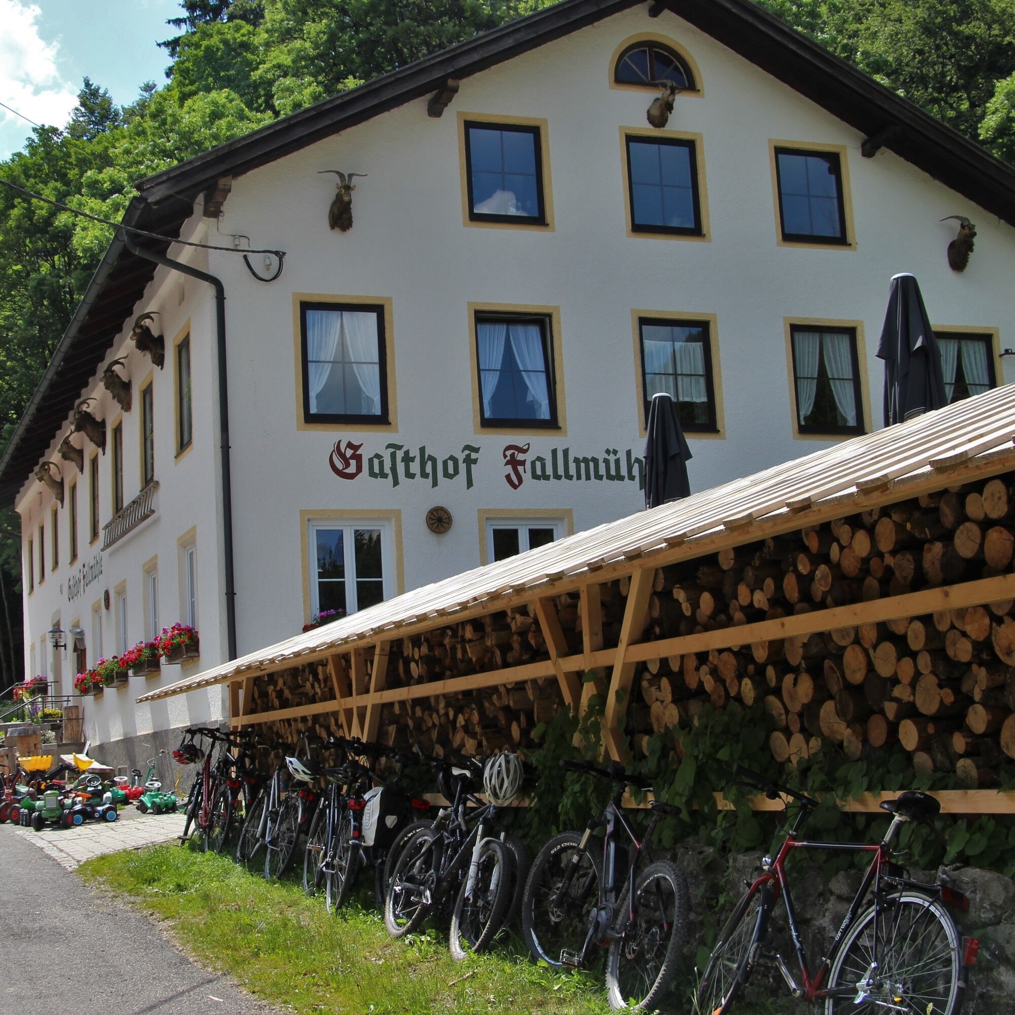
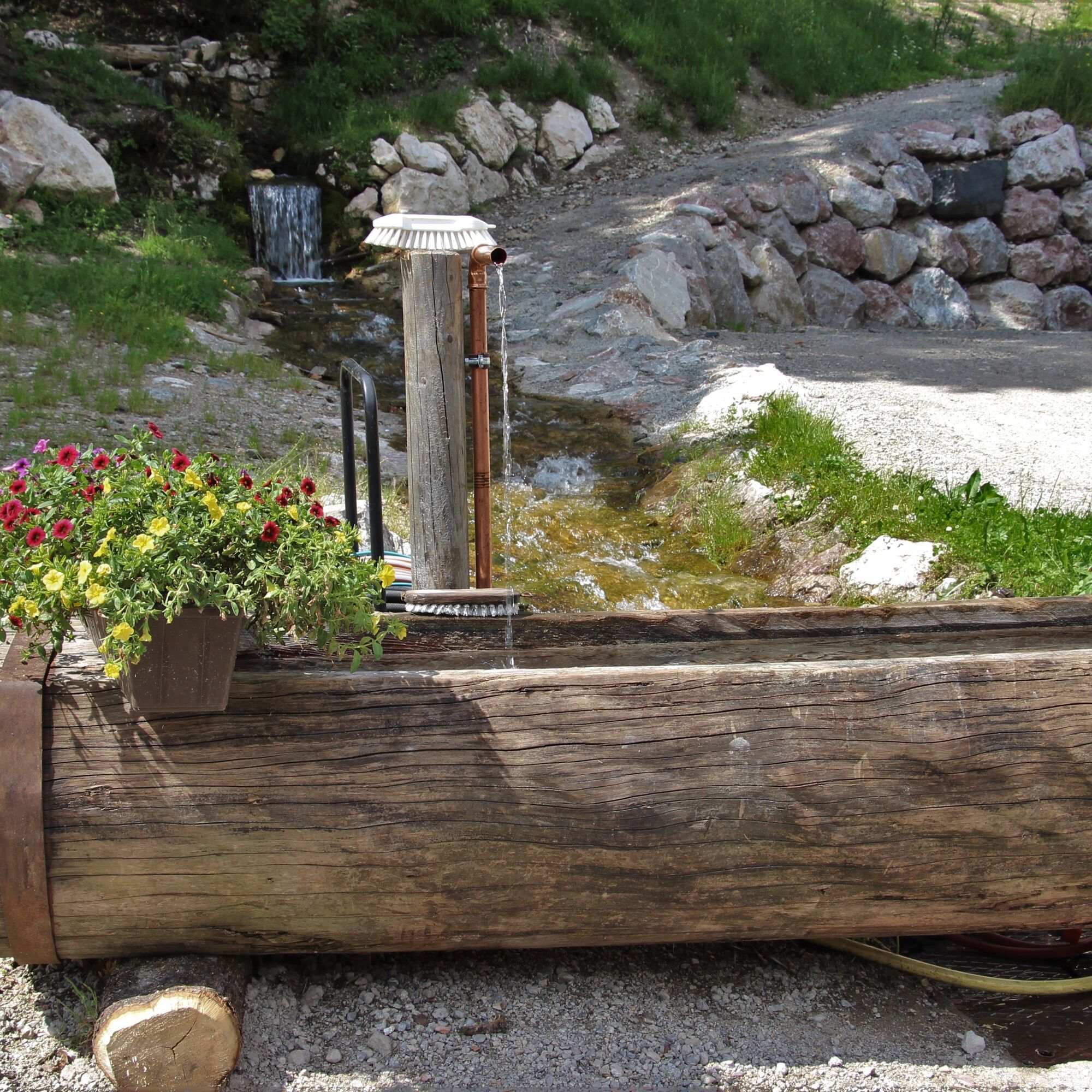
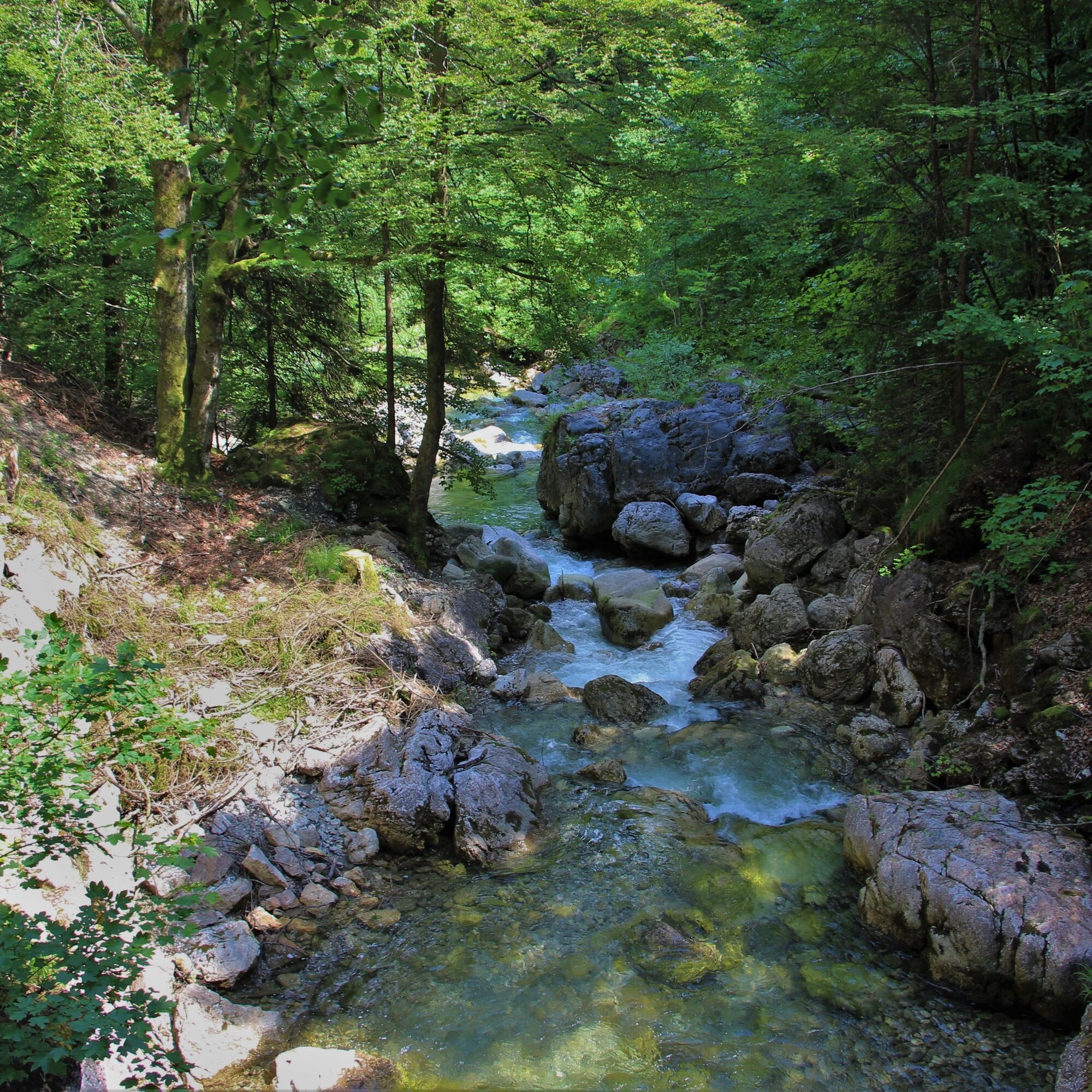

20% asphalt, 80% gravel surface
B 309
Pfronten railway line, public transport bus
Breitenbergbahn valley station in Pfronten-Steinach
S2
High alpine MTB route with magnificent views! The detour to the Ostler hut is definitely worth it.

Kamery internetowe z trasy
Tannheim
Skizentrum Steinach / Pfronten
Pfronten-Halden / Hotel Zugspitzblick
Pfronten - Boutique Hotel Blaue Burg Falkenstein
Pfronten - Ostlerhütte
Grän - Hotel Bergblick
Nesselwang - Alpspitzbahn Sportheim Böck
Füssener Jöchle Bergstation
Obere Halde
Tannheimertal
Füssen Appartementhotel Seespitz
Breitenbergbahn - Pfronten
Pfronten - Skizentrum
Talstation Neunerköpfle - Tannheim
Uzyskaj wgląd Zawsze na żywo z ponad 9 500 kamer internetowych. bergfex Jako użytkownik Pro, możesz teraz zobaczyć odpowiednie kamery internetowe dla wielu wycieczek w aplikacji wycieczki od. Pozwala to na bezpośredni podgląd aktualnych warunków. Popularne wycieczki w okolicy
- 4,7
Around Weißensee
światłoWędrówka 6,12 km - 5,0
Hiking tour to Breitenberg
ciężkiWędrówka 15,6 km - 4,9
Gemeinde Grän, Tirol/Österreich Aggenstein Rundtour über Höhenweg
średniWędrówka 9,84 km - 4,8
Do schroniska Bad Kissinger Hütte przez Gräner Höhenweg
średniWędrówka 13,0 km - 4,8
Tannheim / Vilsalpsee / Landsberger Hütte
średniWędrówka 15,7 km - 4,7
Panorama route to the Ostlerhütte
średniWędrówka 5,11 km - 4,8
Iseler und Kühgundkopf
średniWędrówka 7,63 km - 4,2
Three-lake route (awarded the Tyrolean Hiking Trail Seal of Quality)
średniWędrówka 14,8 km - 4,7
3-Gipfel-Tour
średniWędrówka 11,2 km - 4,6
3-Seen Rundtour Vilsalpsee / Schrecksee / Traualpsee
średniWędrówka 17,1 km
Wędrówki i tropienie


Nie przegap ofert i inspiracji na następne wakacje
Twój adres e-mail została dodana do listy mailingowej.





