







Danube cycle route stage 1 south bank: Passau - Schlögen

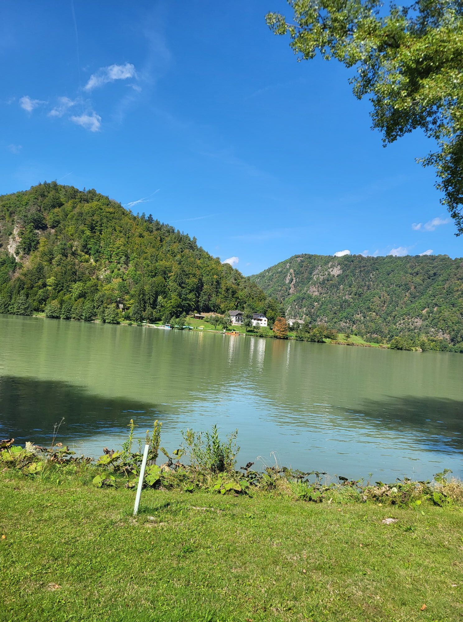
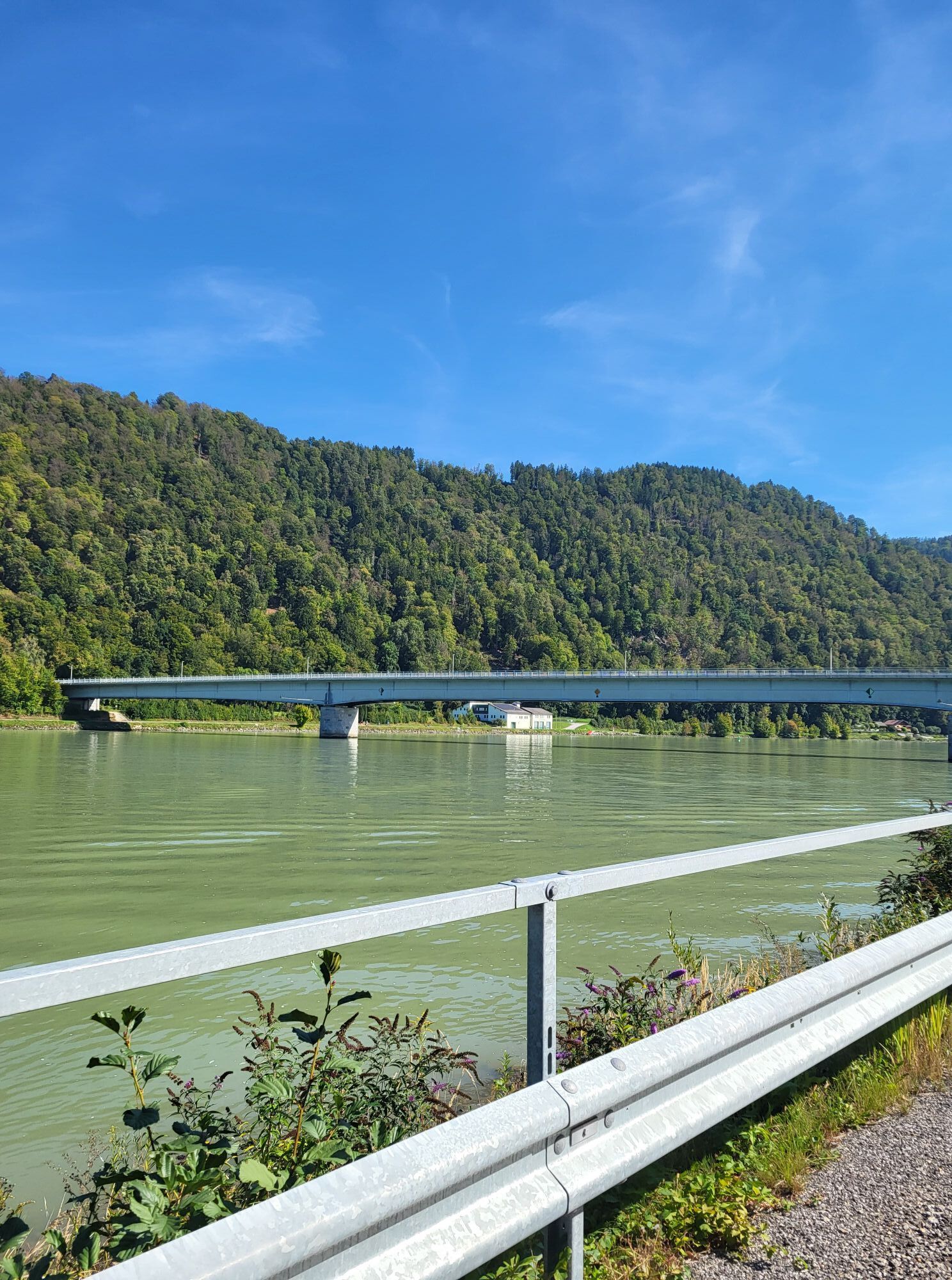
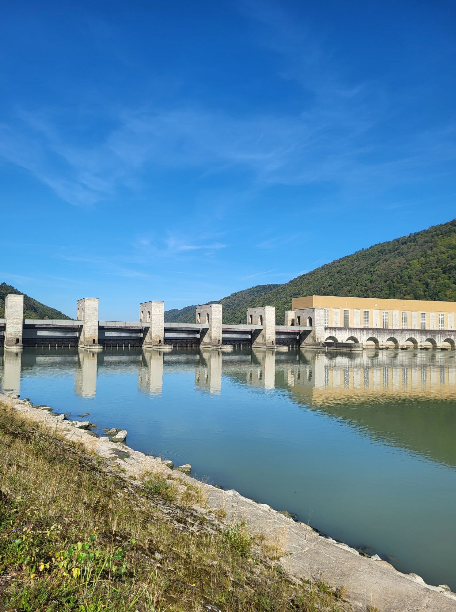
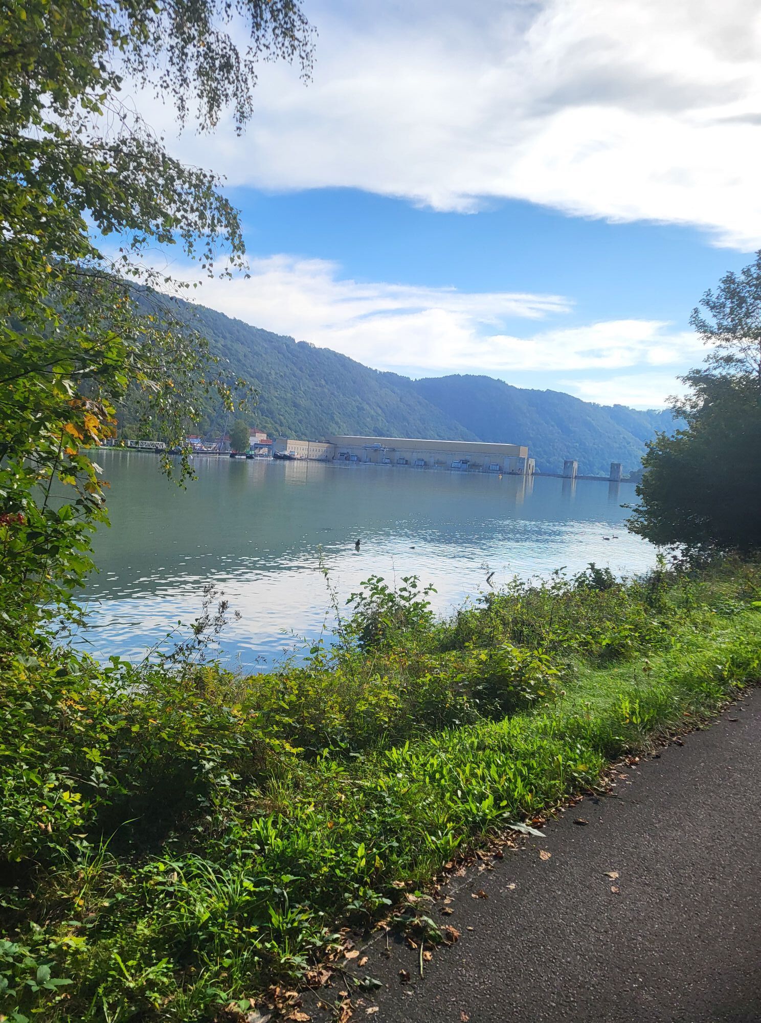

With water lift and emerald lizard
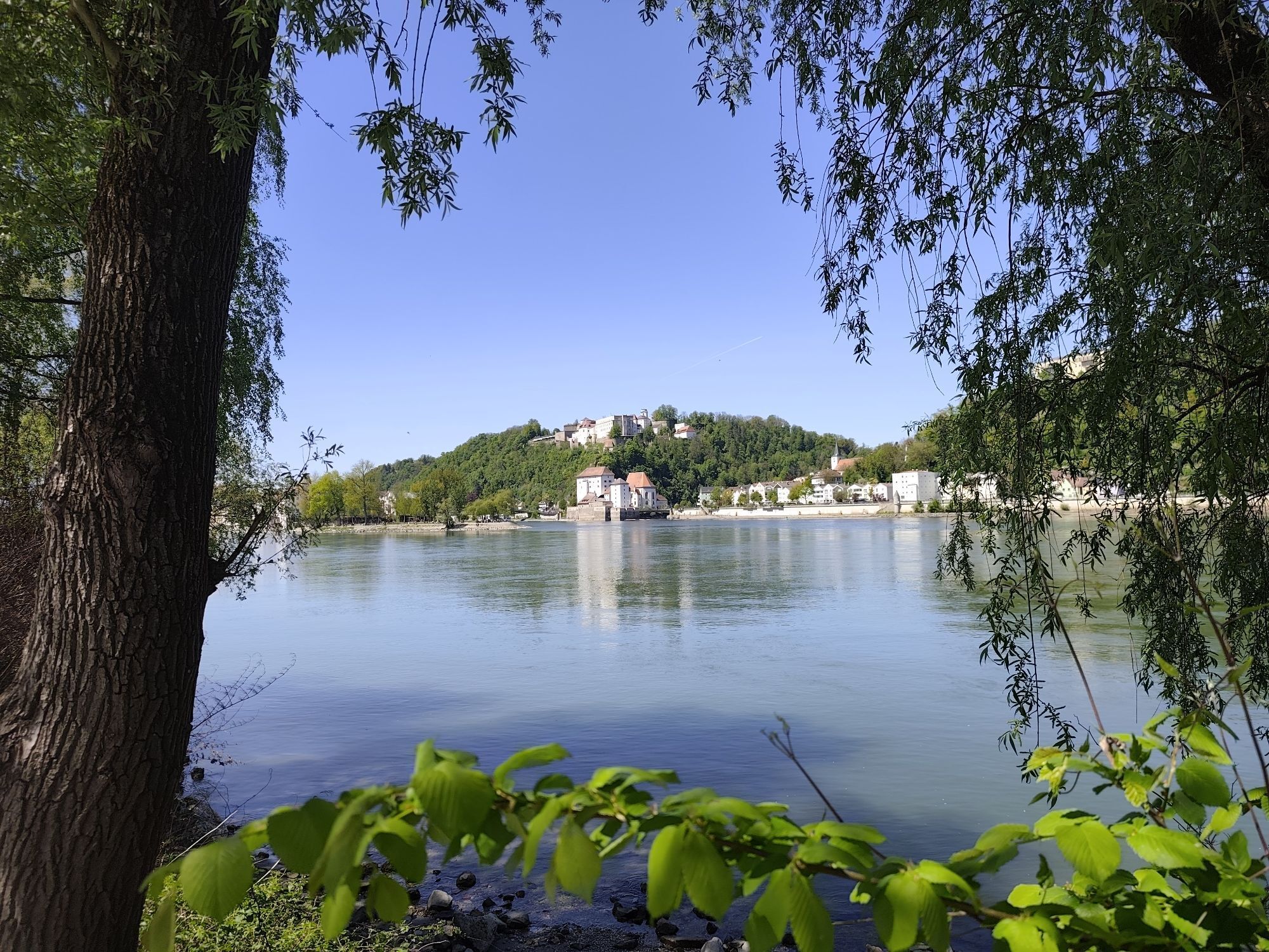
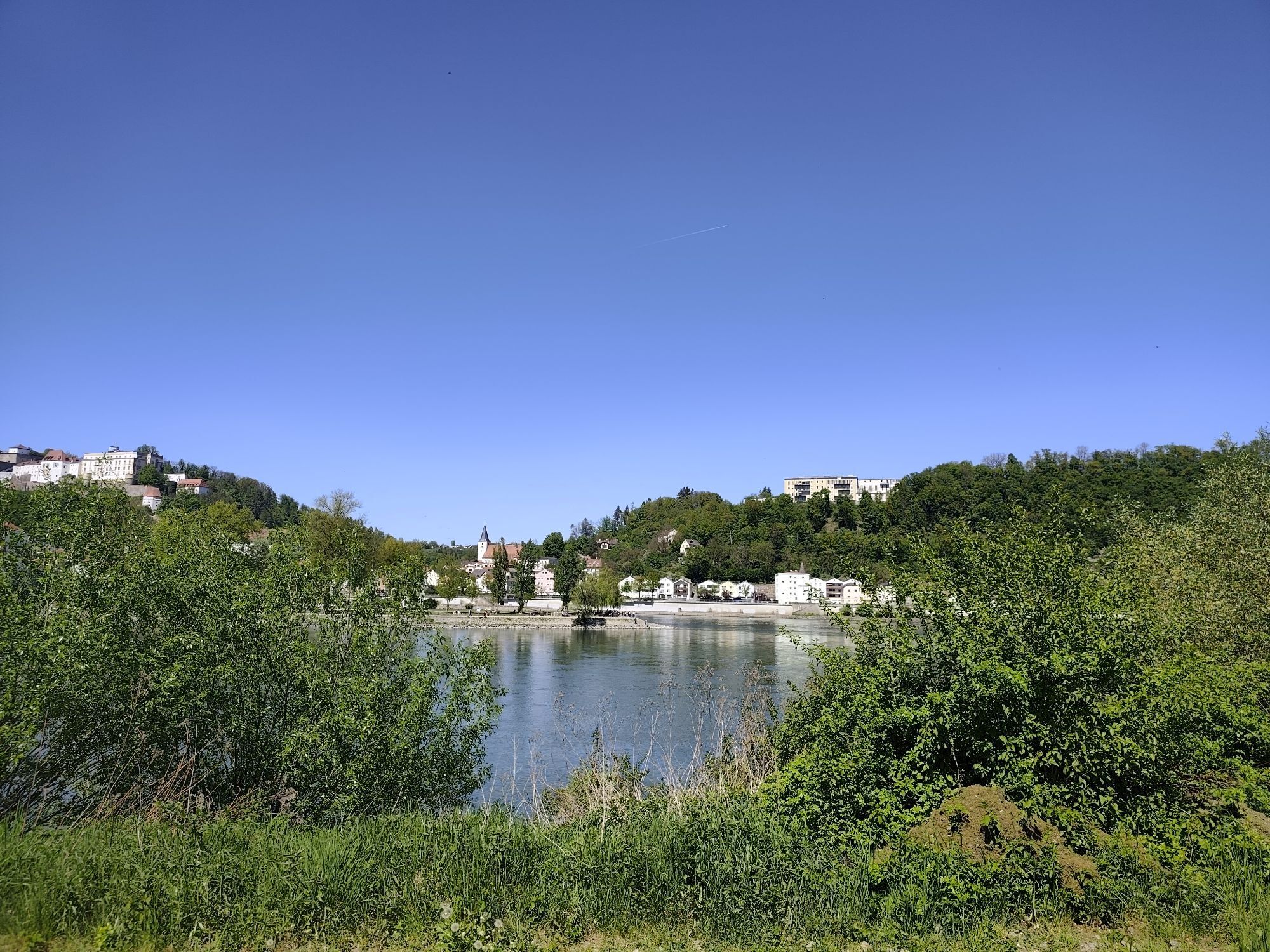
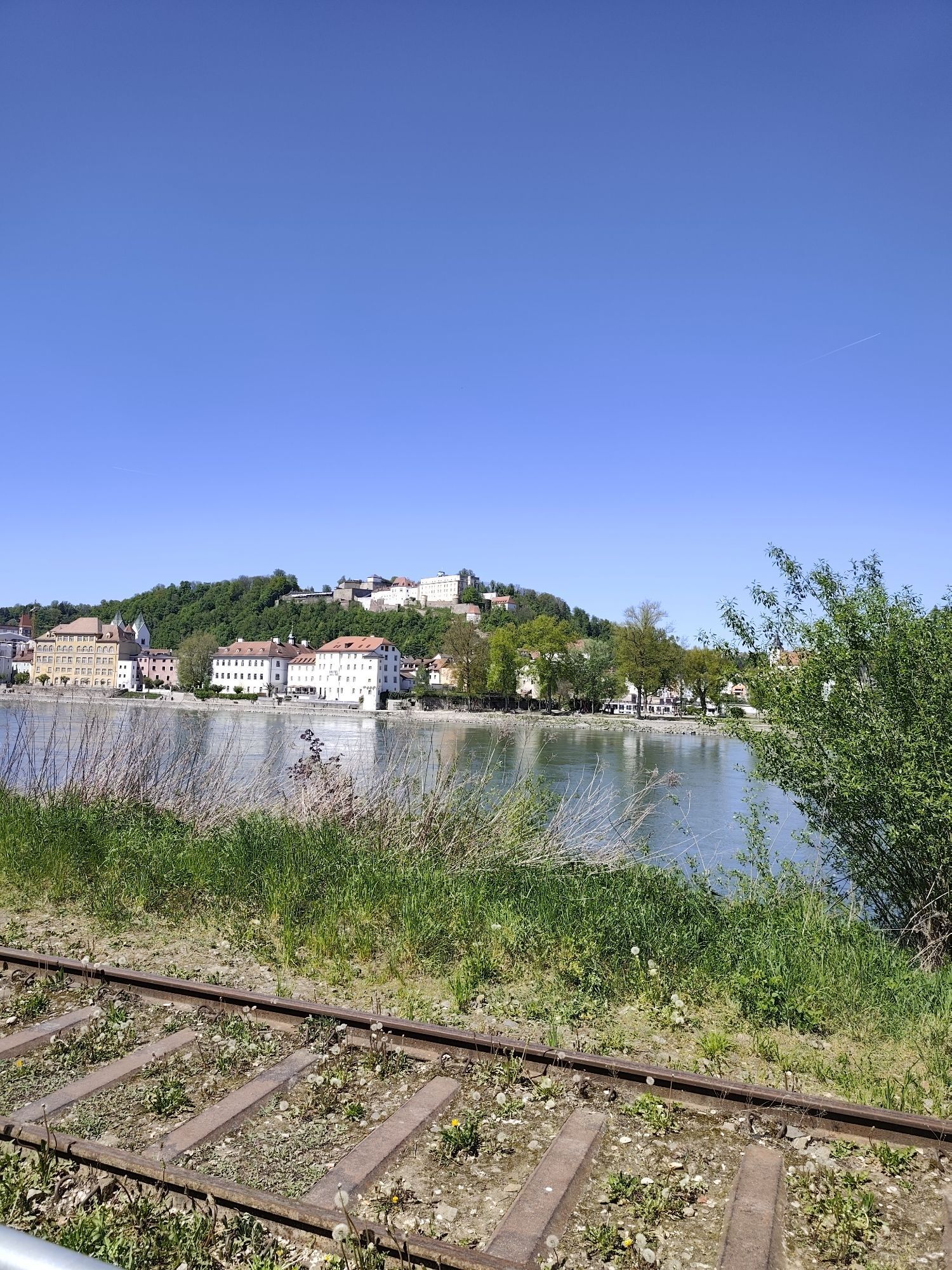
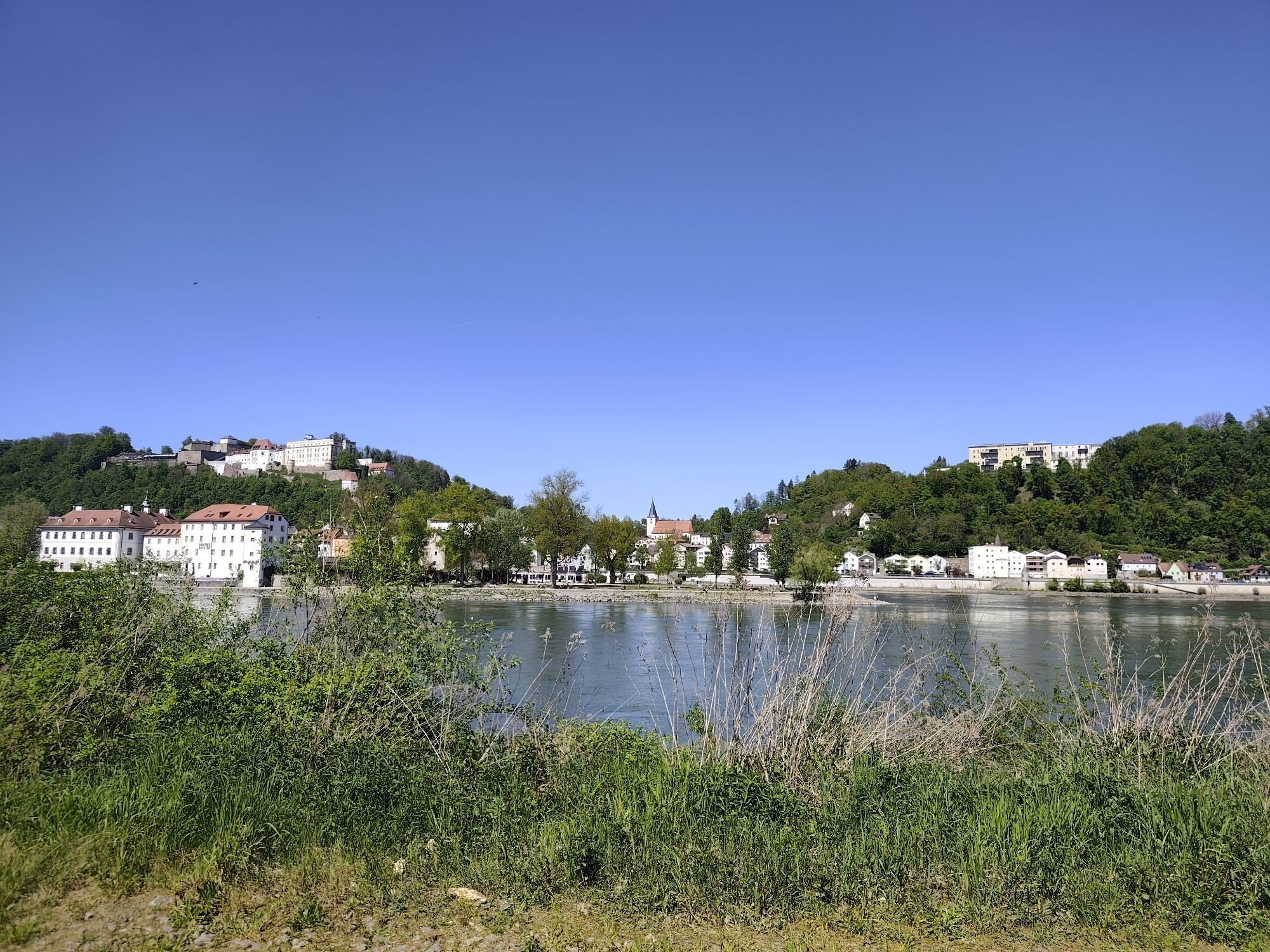
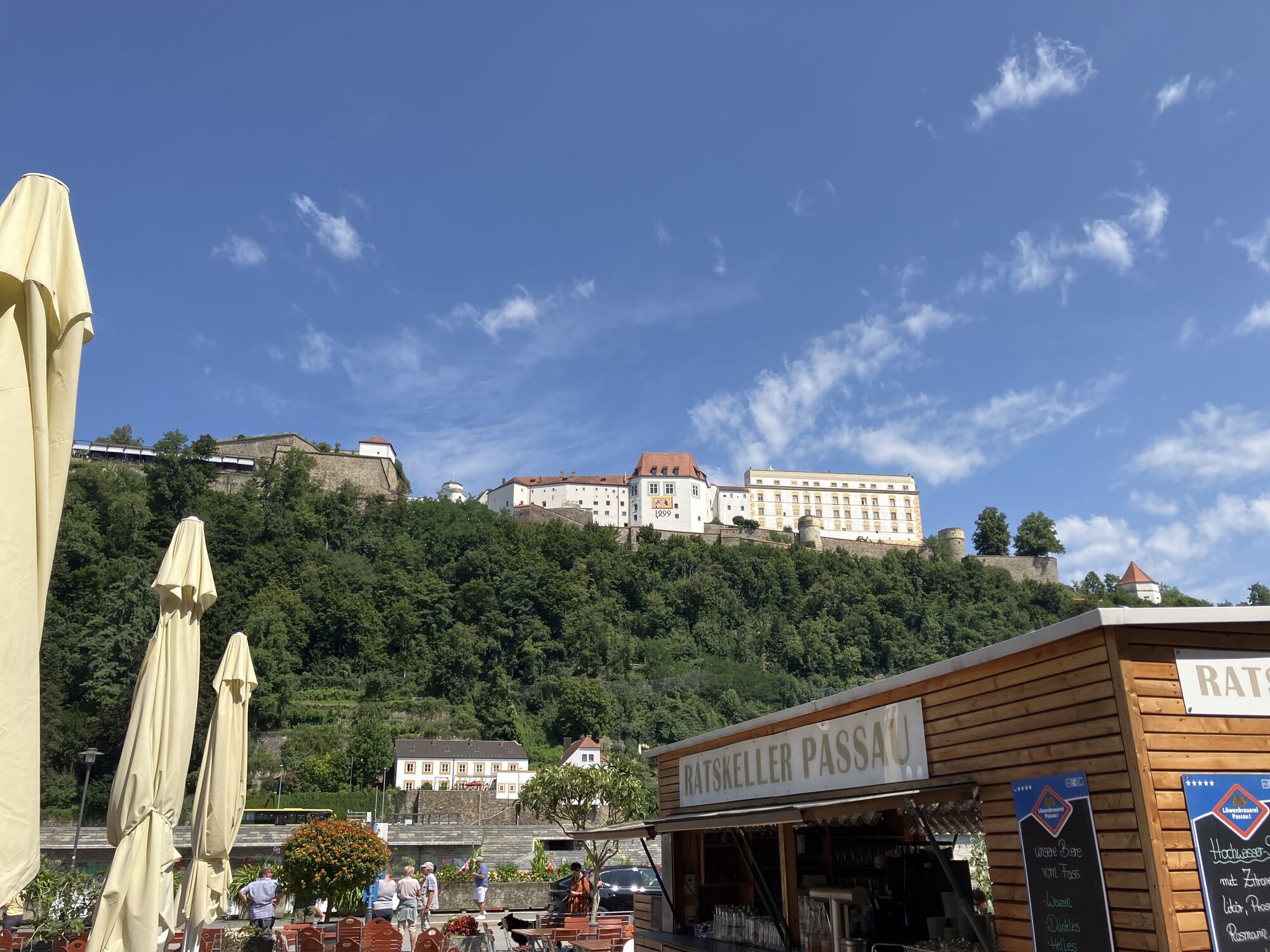
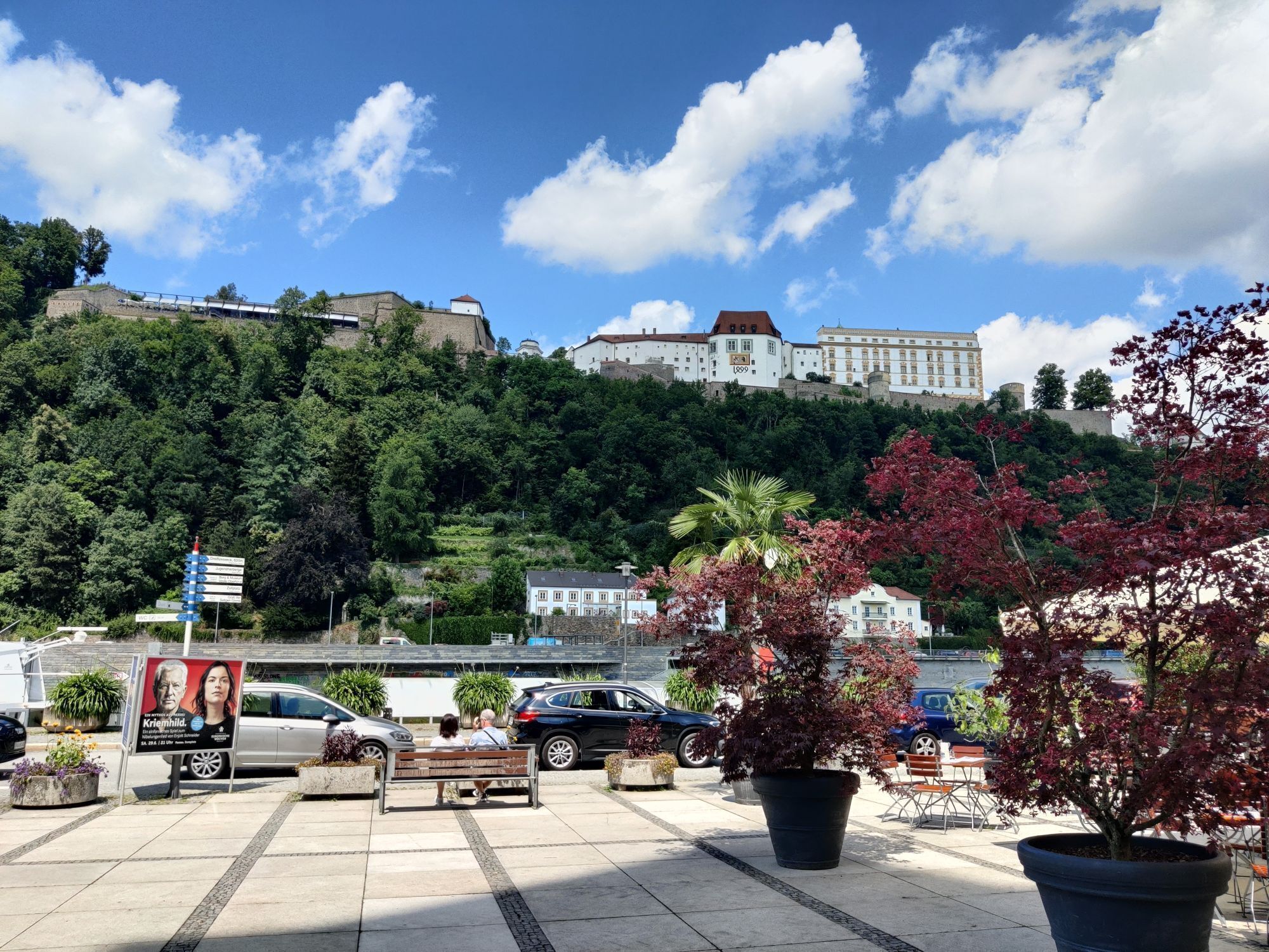
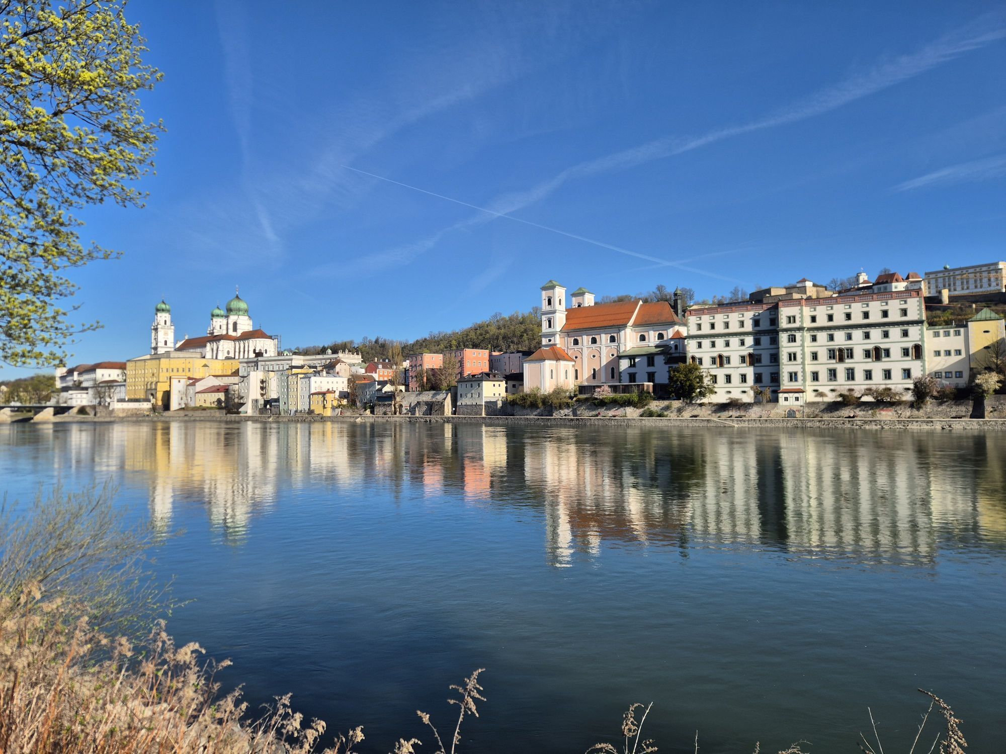
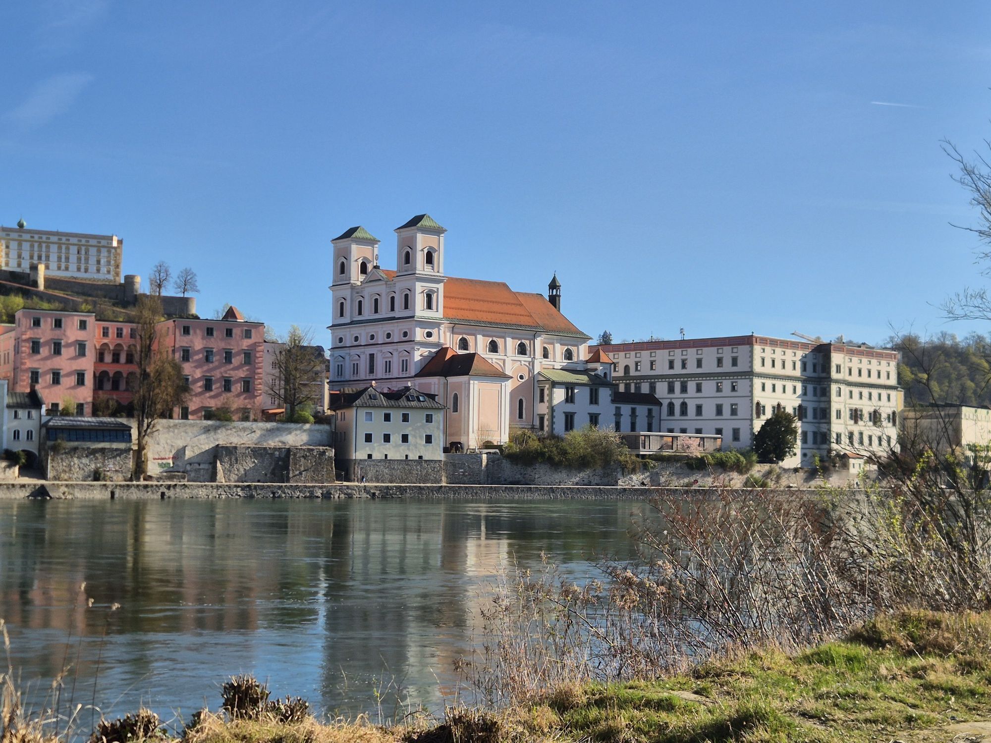
The THREE_RIVERS_CITY Passau at the confluence of Danube, Inn and Ilz offers you a magnificent start to a great bike route. So be sure to take your time for the sights...
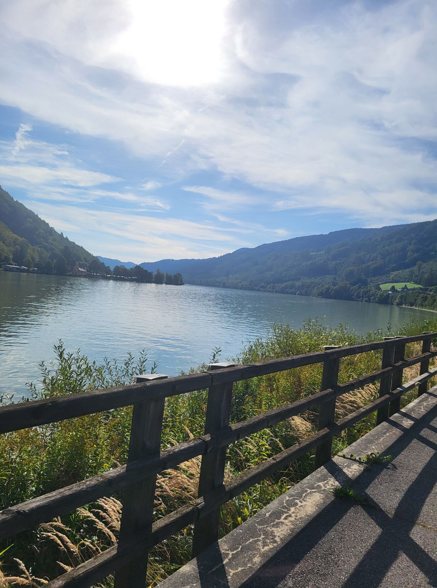
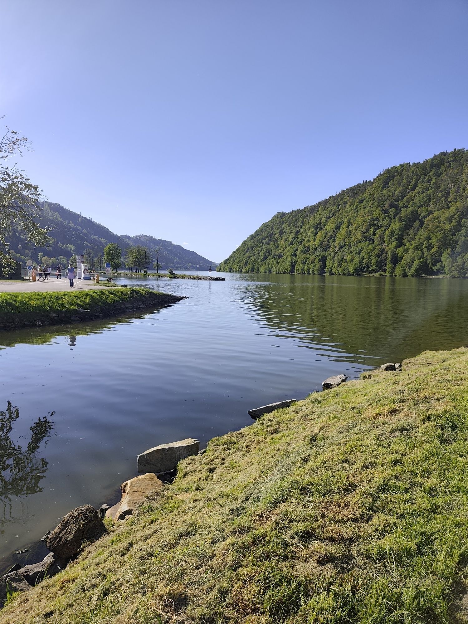
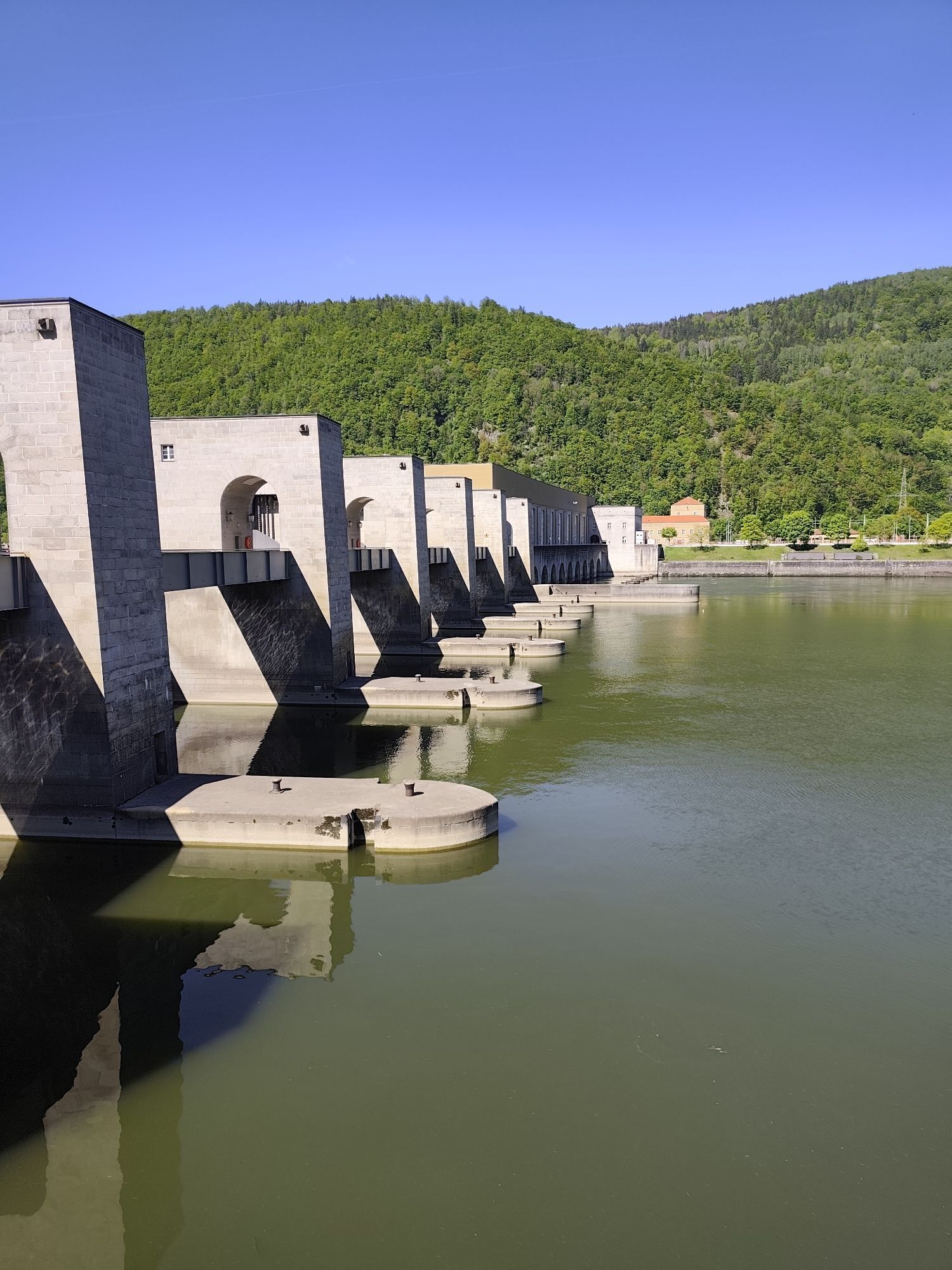
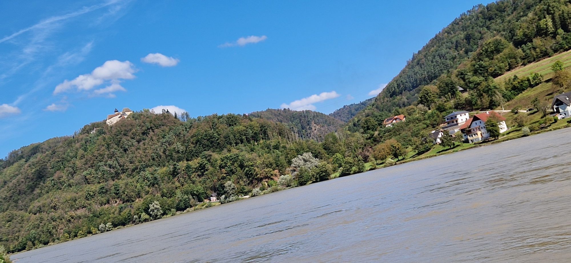
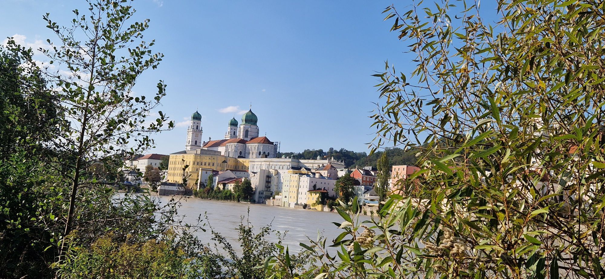
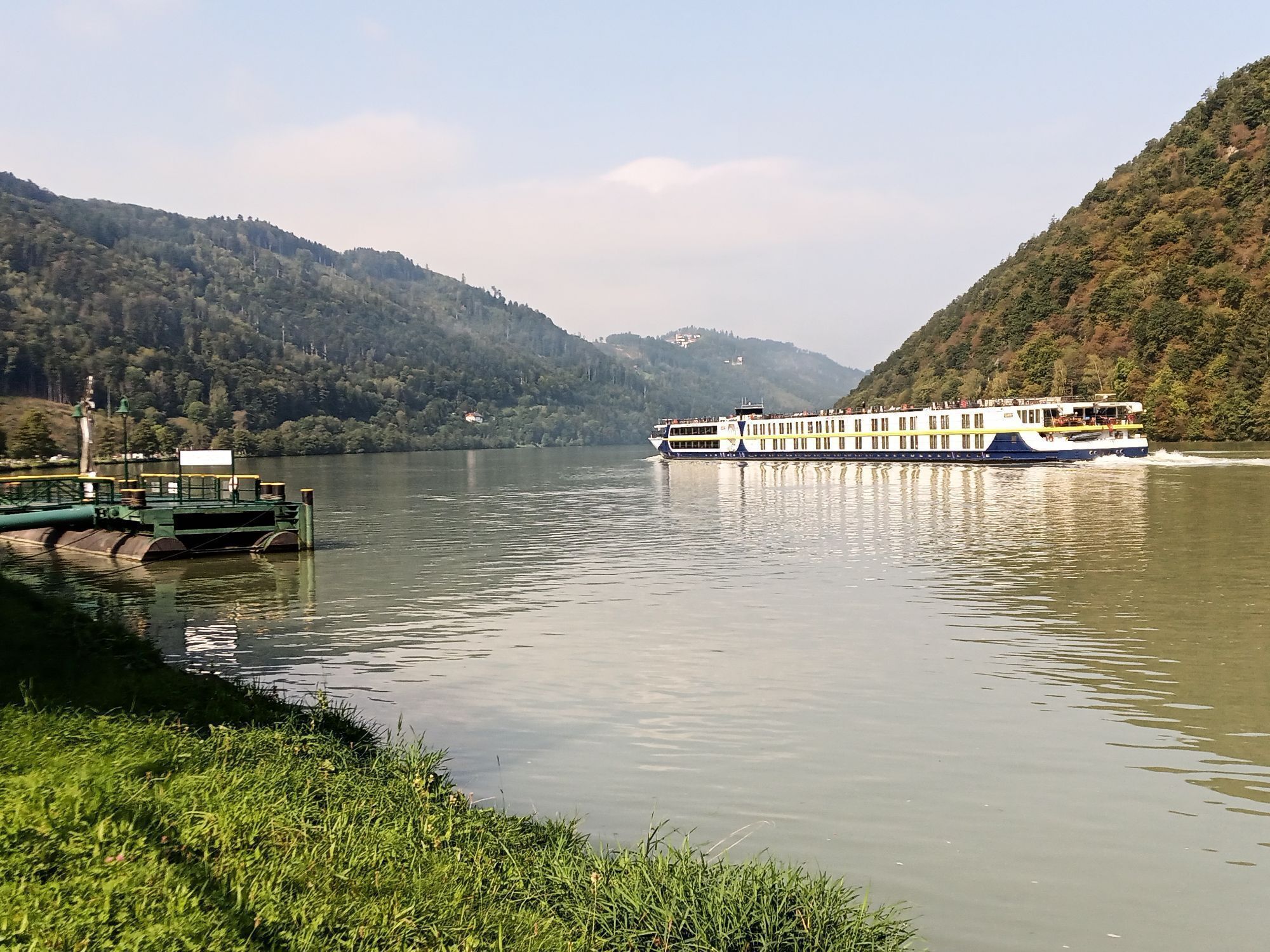
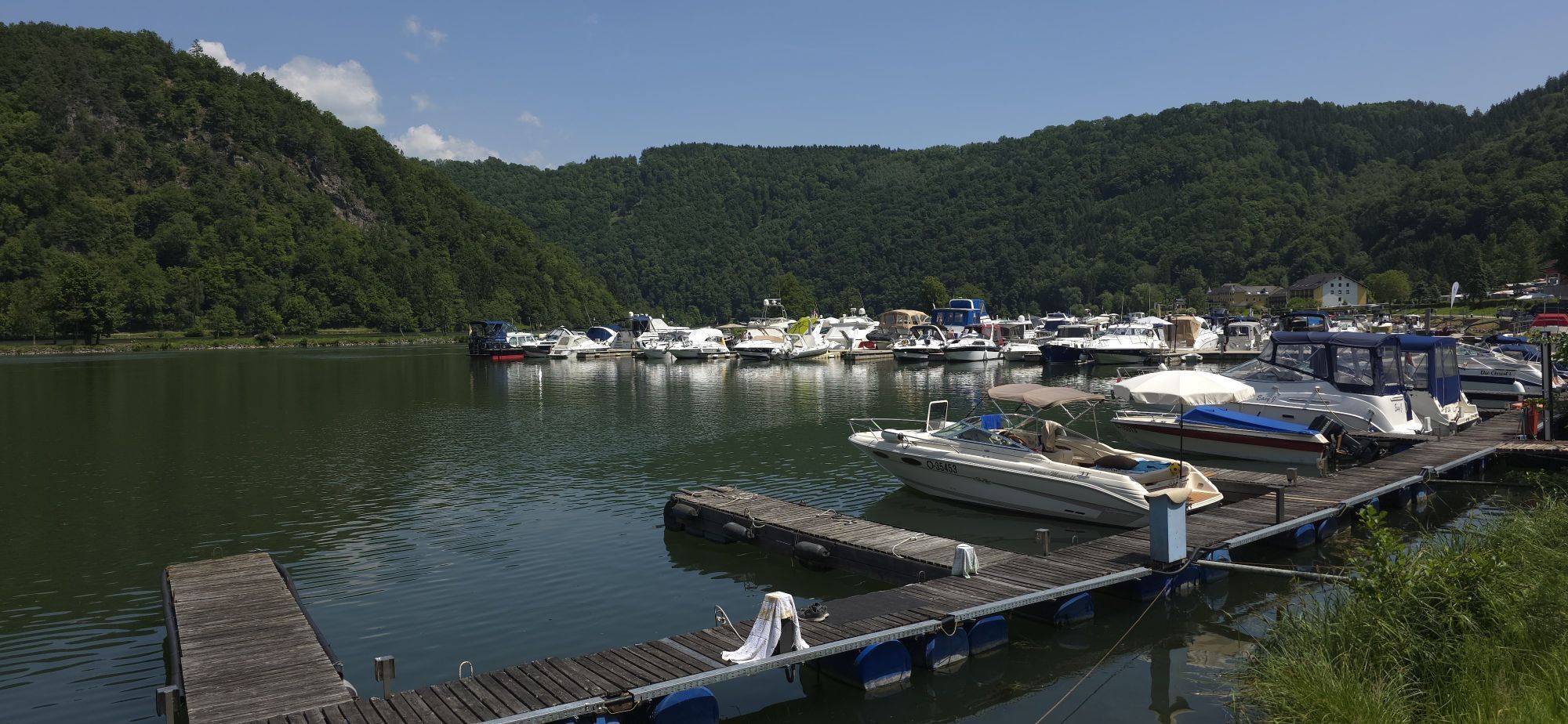
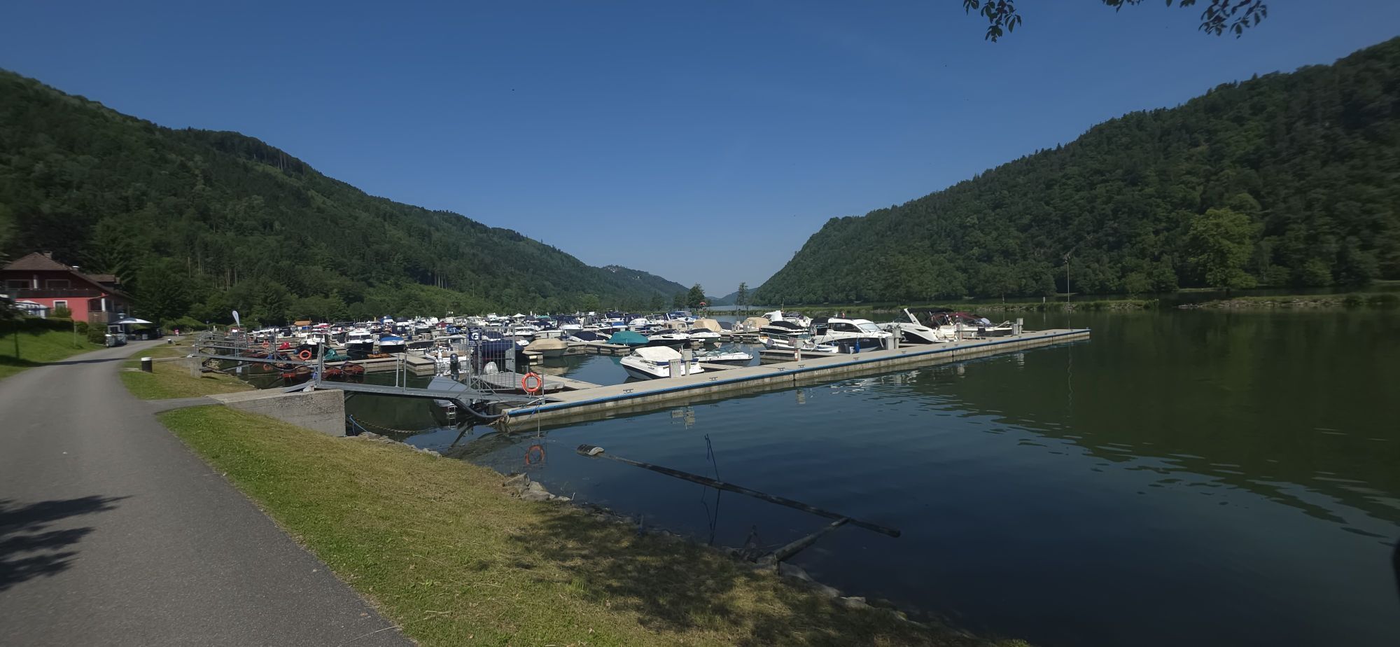
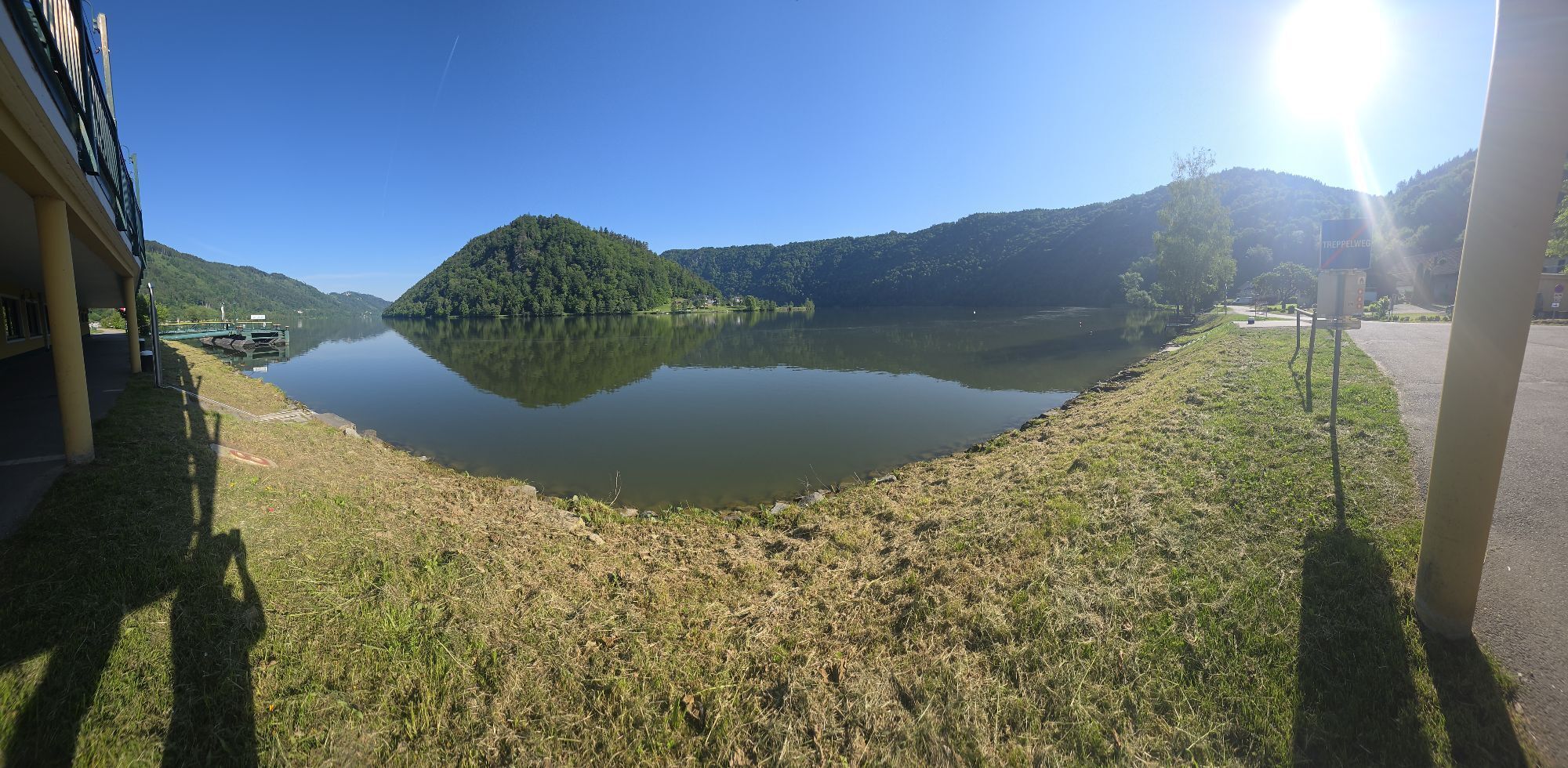
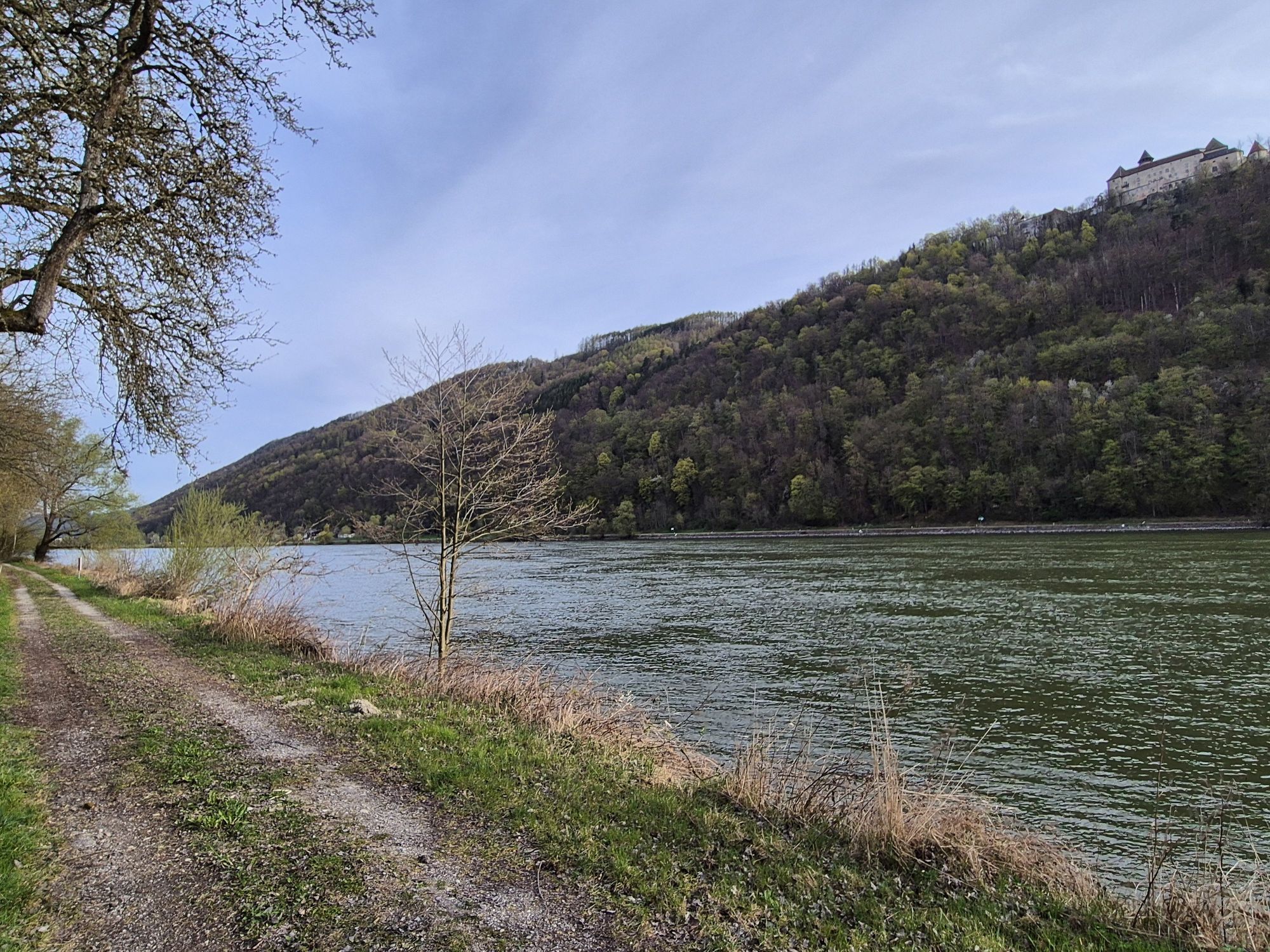
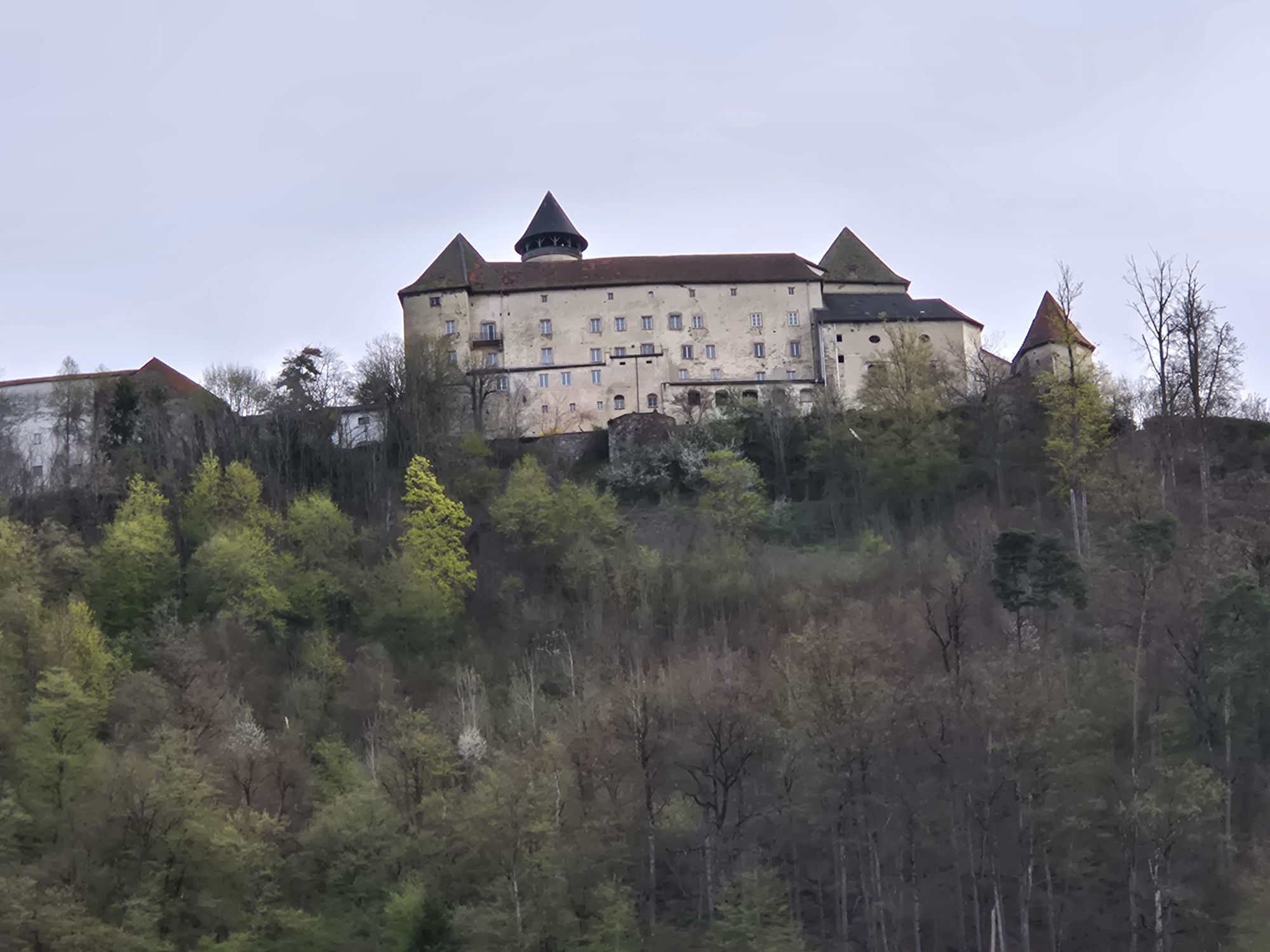
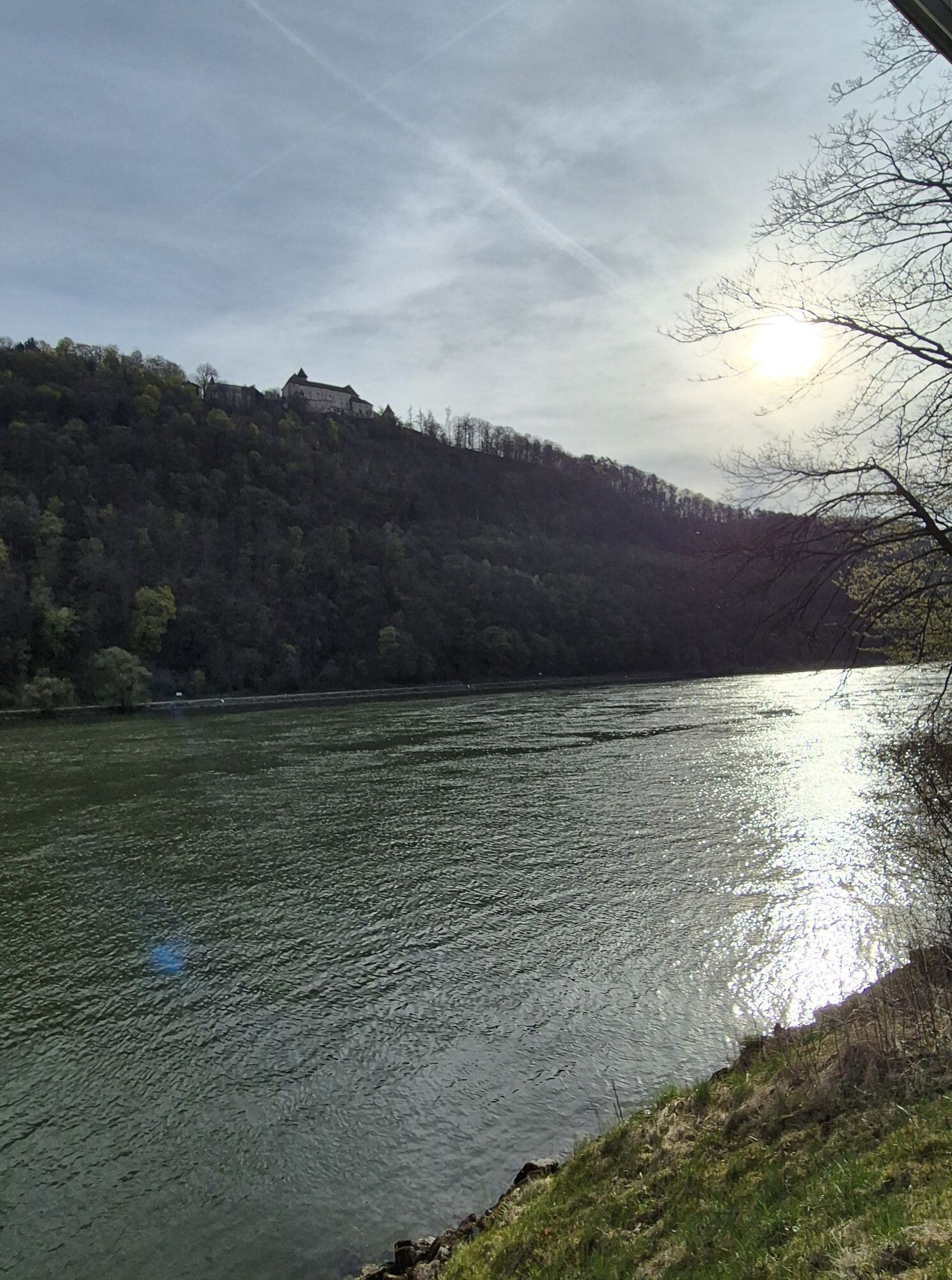
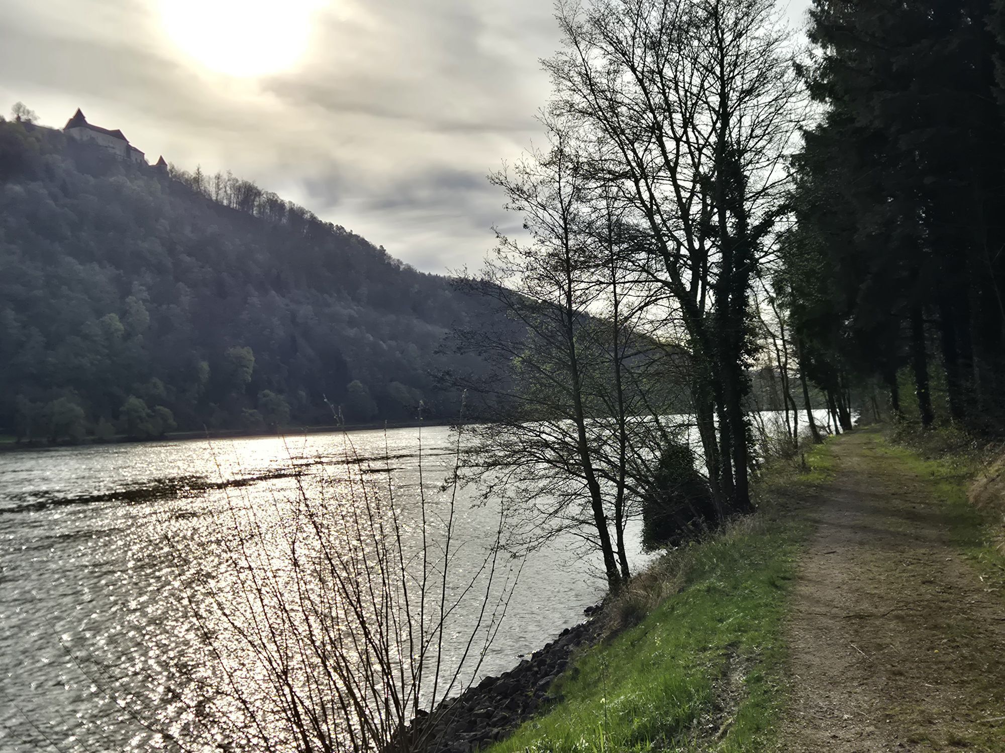
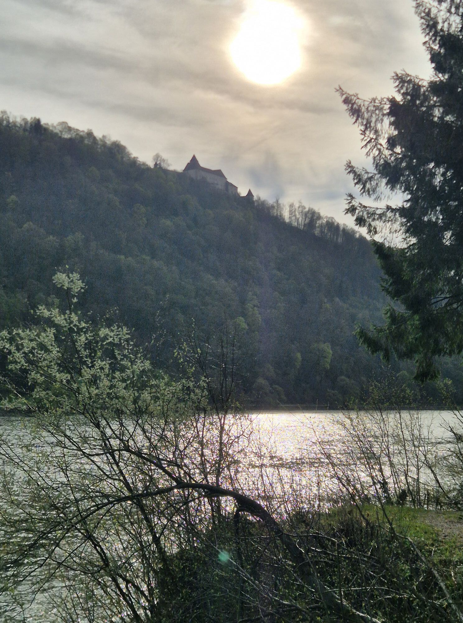
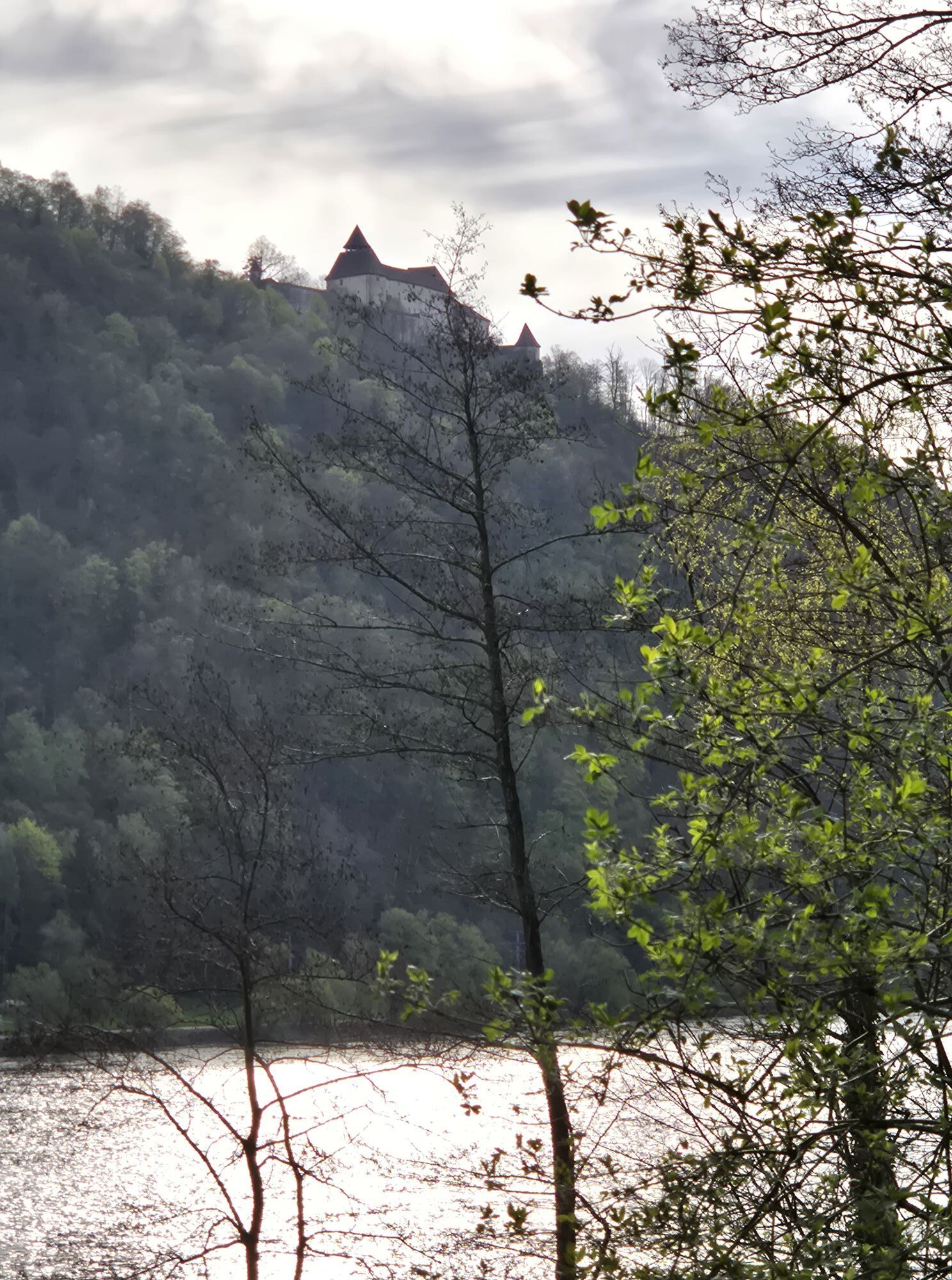
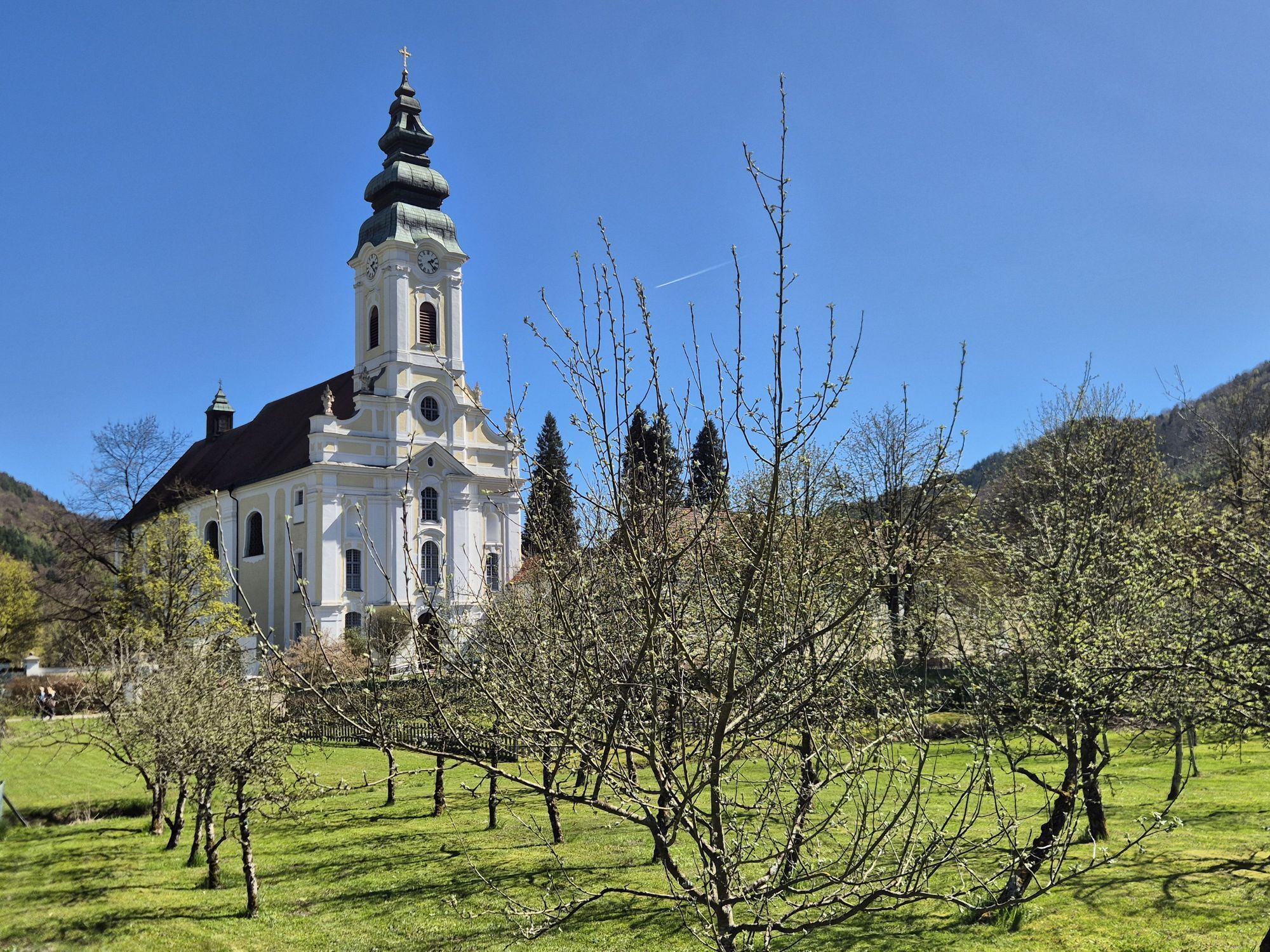
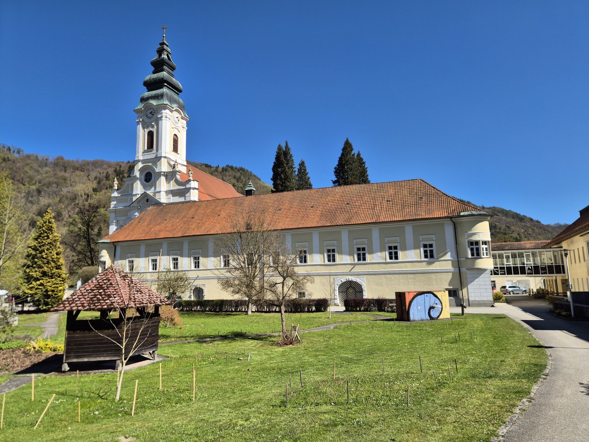
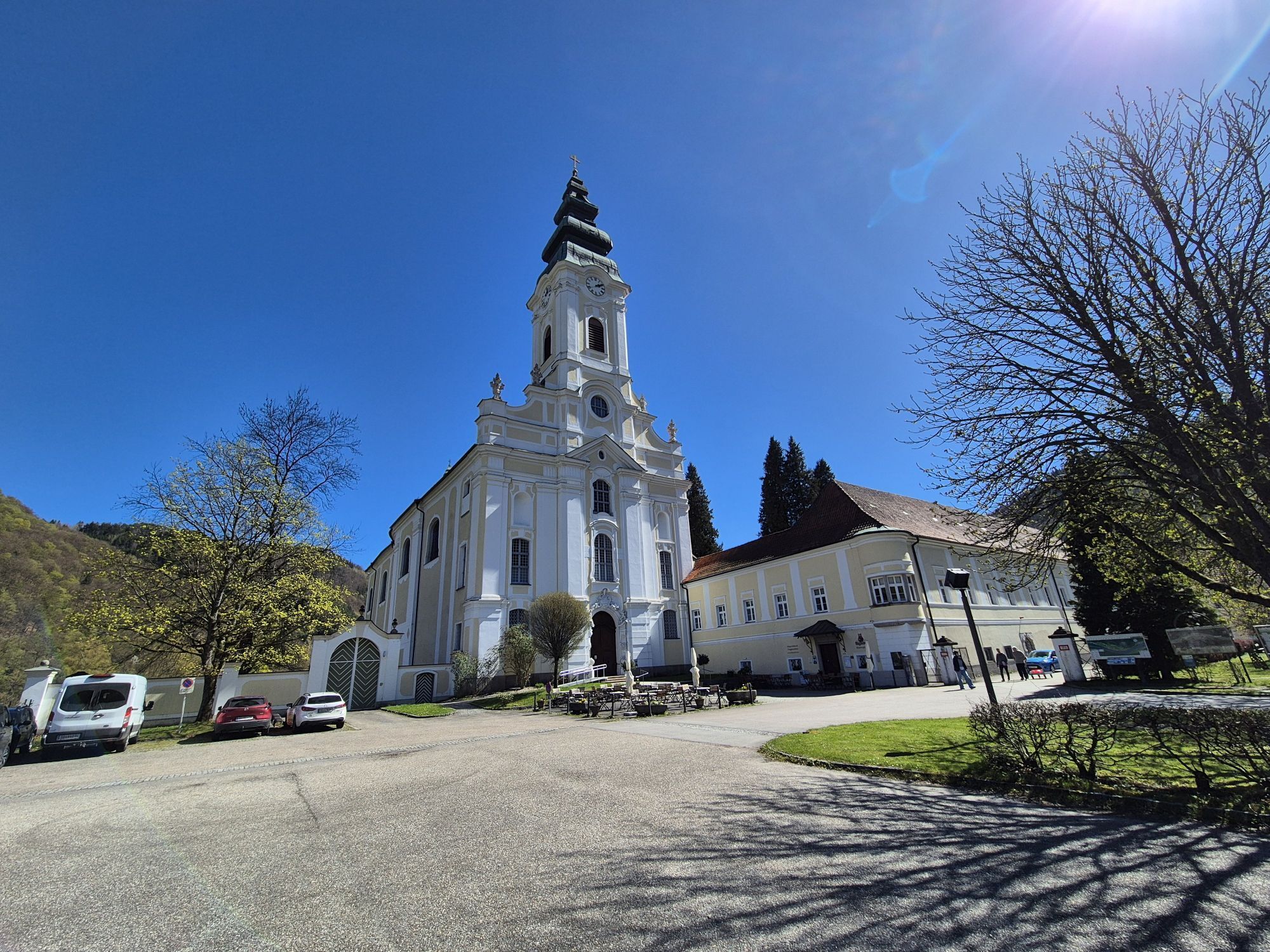
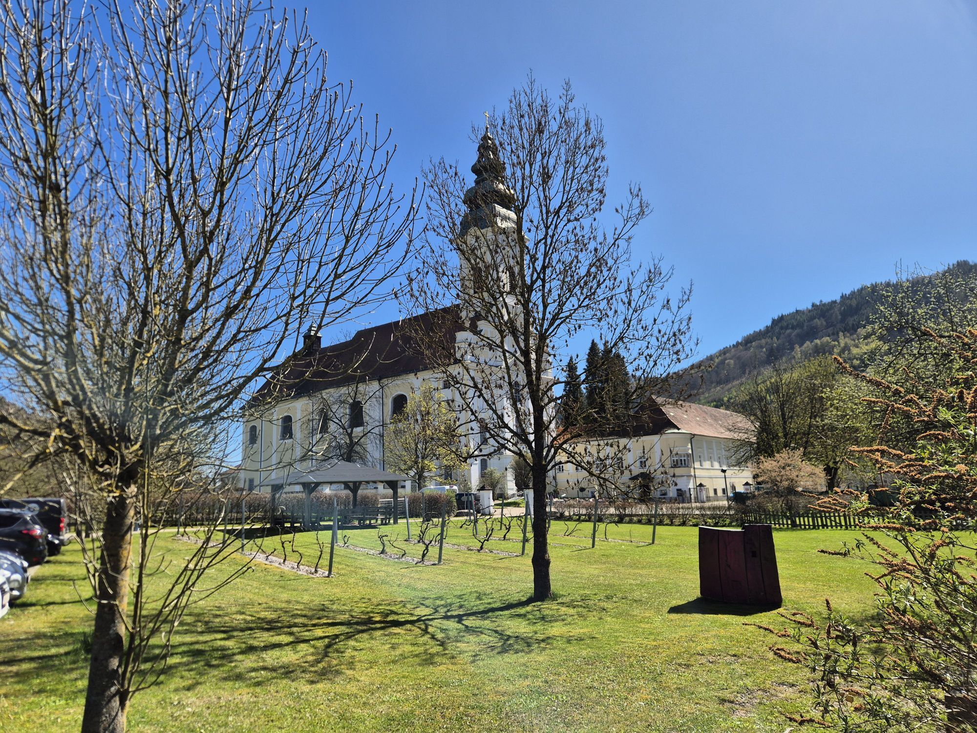
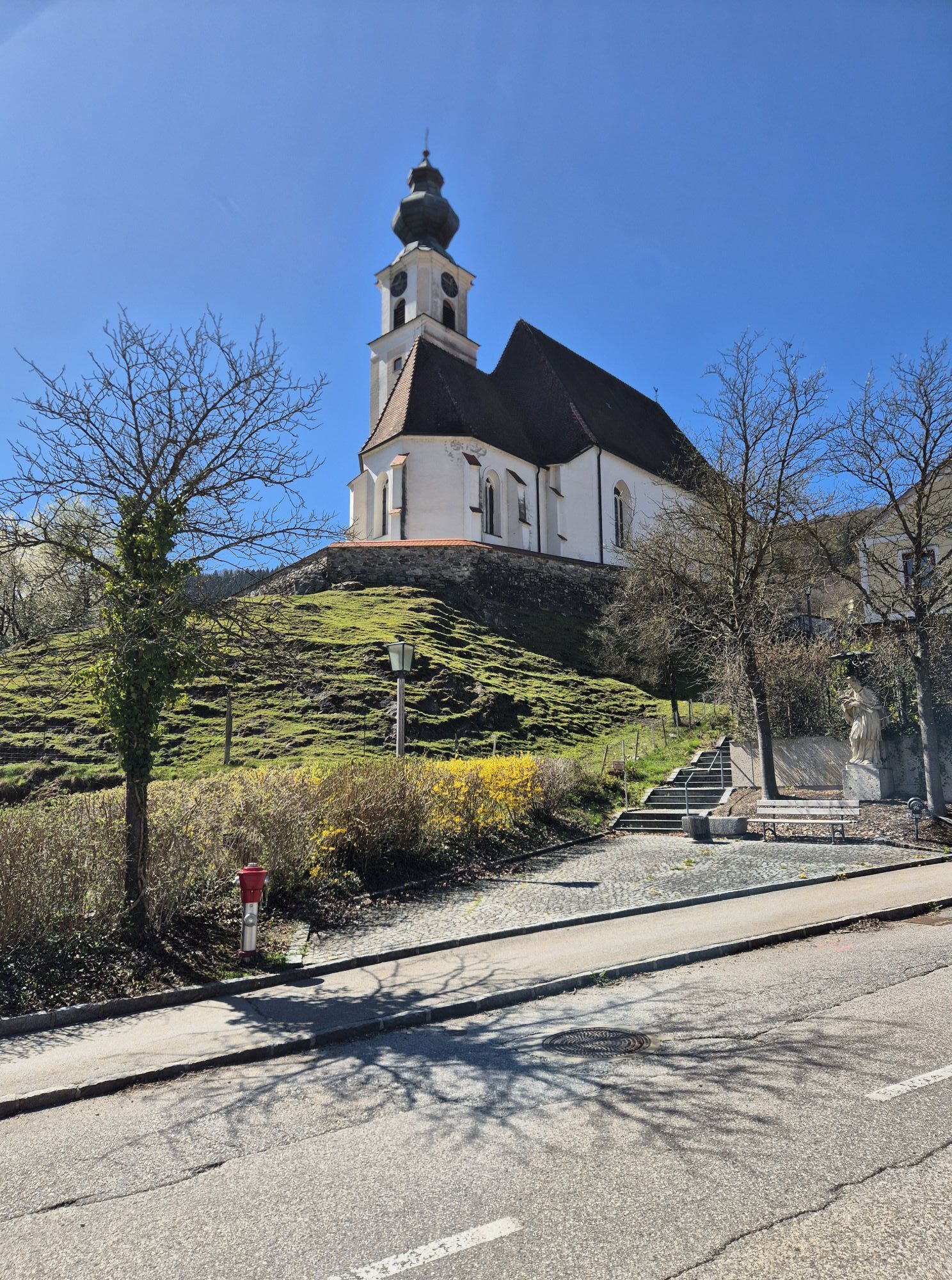
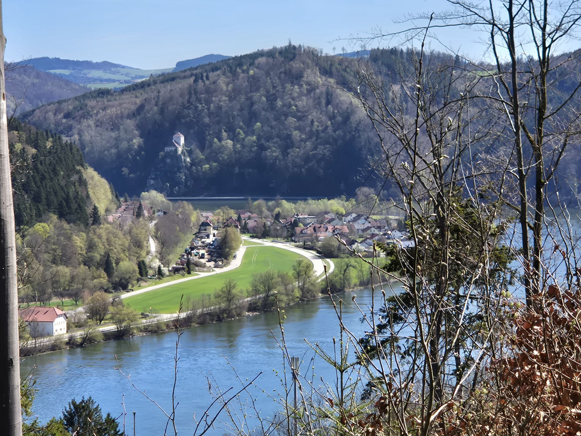
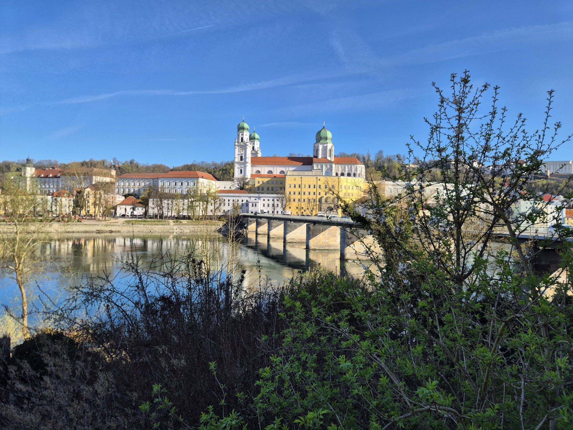
<p><strong>With water lift and emerald lizard</strong></p><p>The THREE_RIVERS_CITY Passau at the confluence of Danube, Inn and Ilz offers you a magnificent start to a great bike route. So be sure to take your time for the sights of this "Bavarian Venice": Explore the baroque old town or the prince-bishop's residence with the Museum at the Cathedral. The worthwhile St. Stephan's Cathedral is also directly on your route. It houses the largest cathedral organ in the world with almost 18,000 pipes. You will also pass the Glass Museum with its more than 15,000 exhibited objects of European glass.</p><p>But this is just the beginning of this varied stage. An exciting view is offered by Krämpelstein Castle, which towers high above the Danube on a rock. According to legend, a tailor once fell to his death here from the so-called "Schneiderschlössl" while trying to bury his goat in the Danube. Equally stimulating are the Gothic murals in the Peter's Church in Pyrawang: Although they date from the 14th century, they appear surprisingly modern.</p><p>For young cyclists, the "Water Experience Mini-Danube" in charming Engelhartszell is the highlight of the stage. Not only a themed playground attracts here, but also the "Giant of the Danube", the nearly two-meter-long sturgeon in the large aquarium. Perhaps you have time to also make a quick visit to the nearby magnificent Trappist monastery Engelhartszell with its remarkable Rococo church and the splendid monastery garden. The SCHÜTZ Art Museum shows high-ranking artworks from classical modernism to international contemporary art.</p><p>Shortly before reaching Schlögen, the medieval Haichenbach castle ruin waves from the opposite Danube bank – from that ridge around which the famous "Schlögener Danube loop" bends.</p>

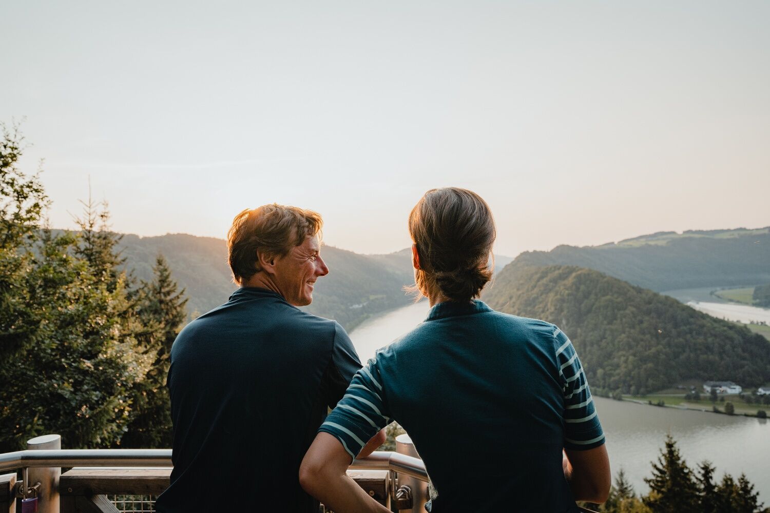
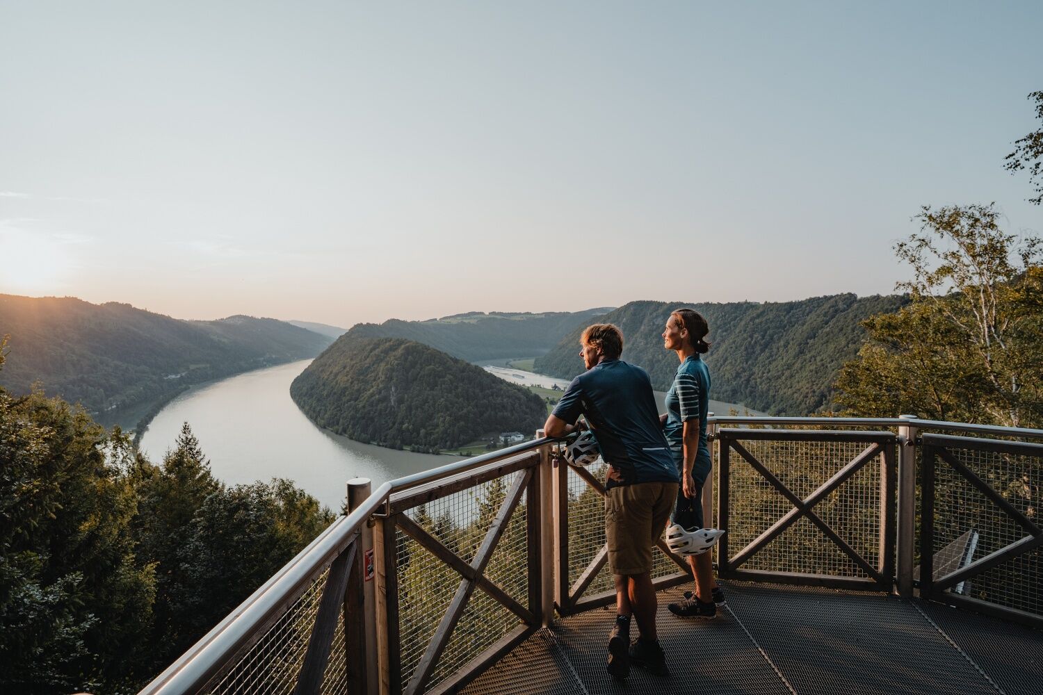
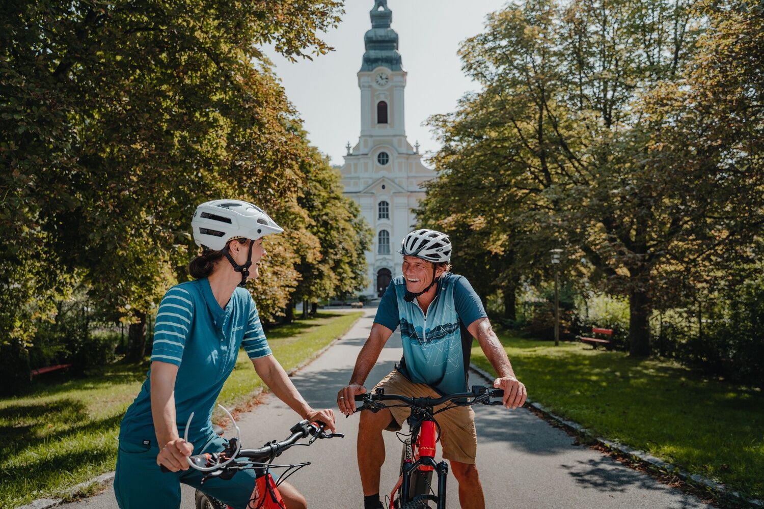
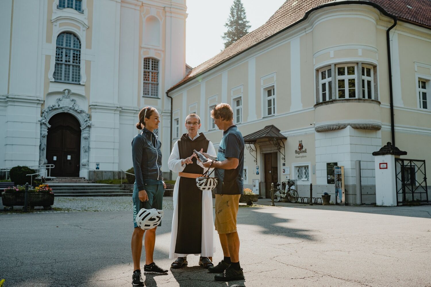

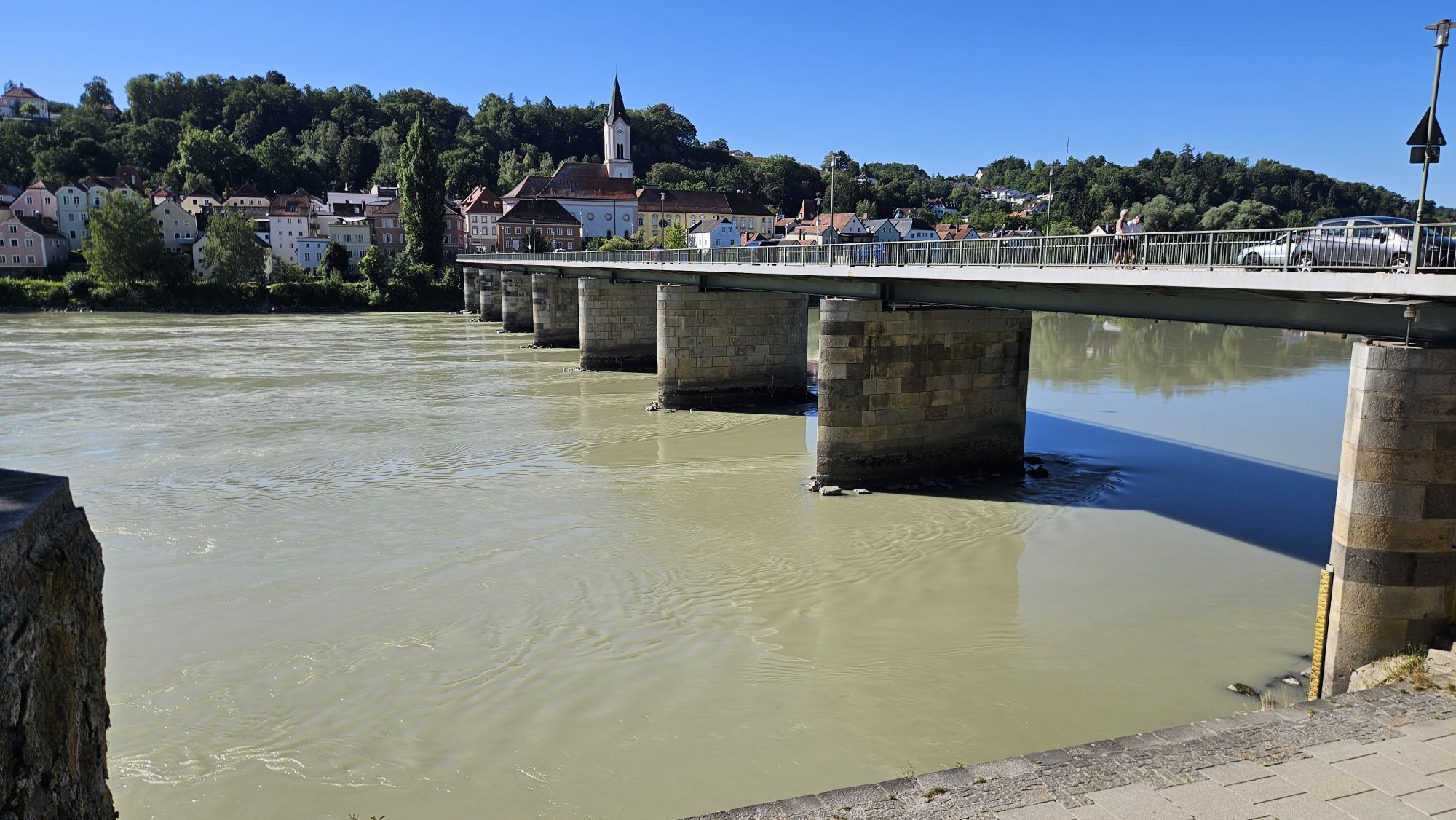
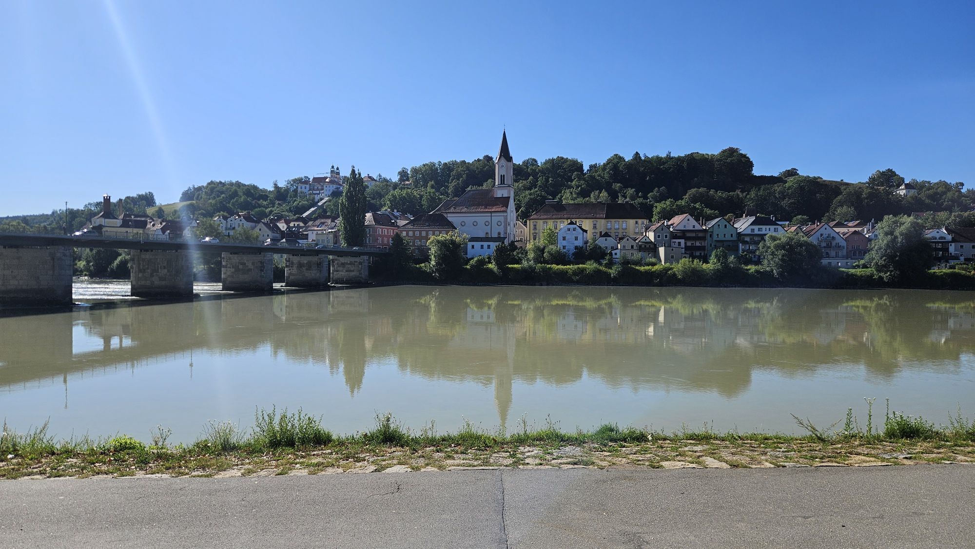
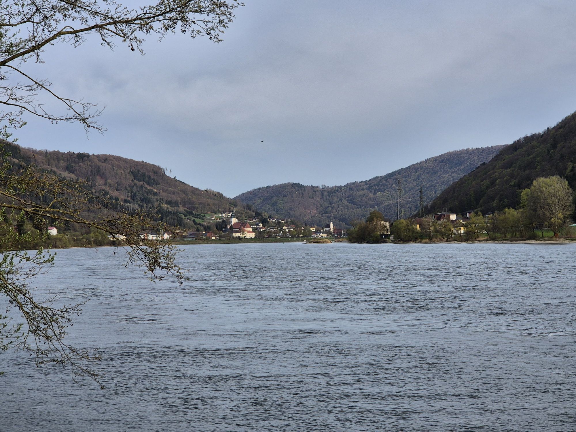
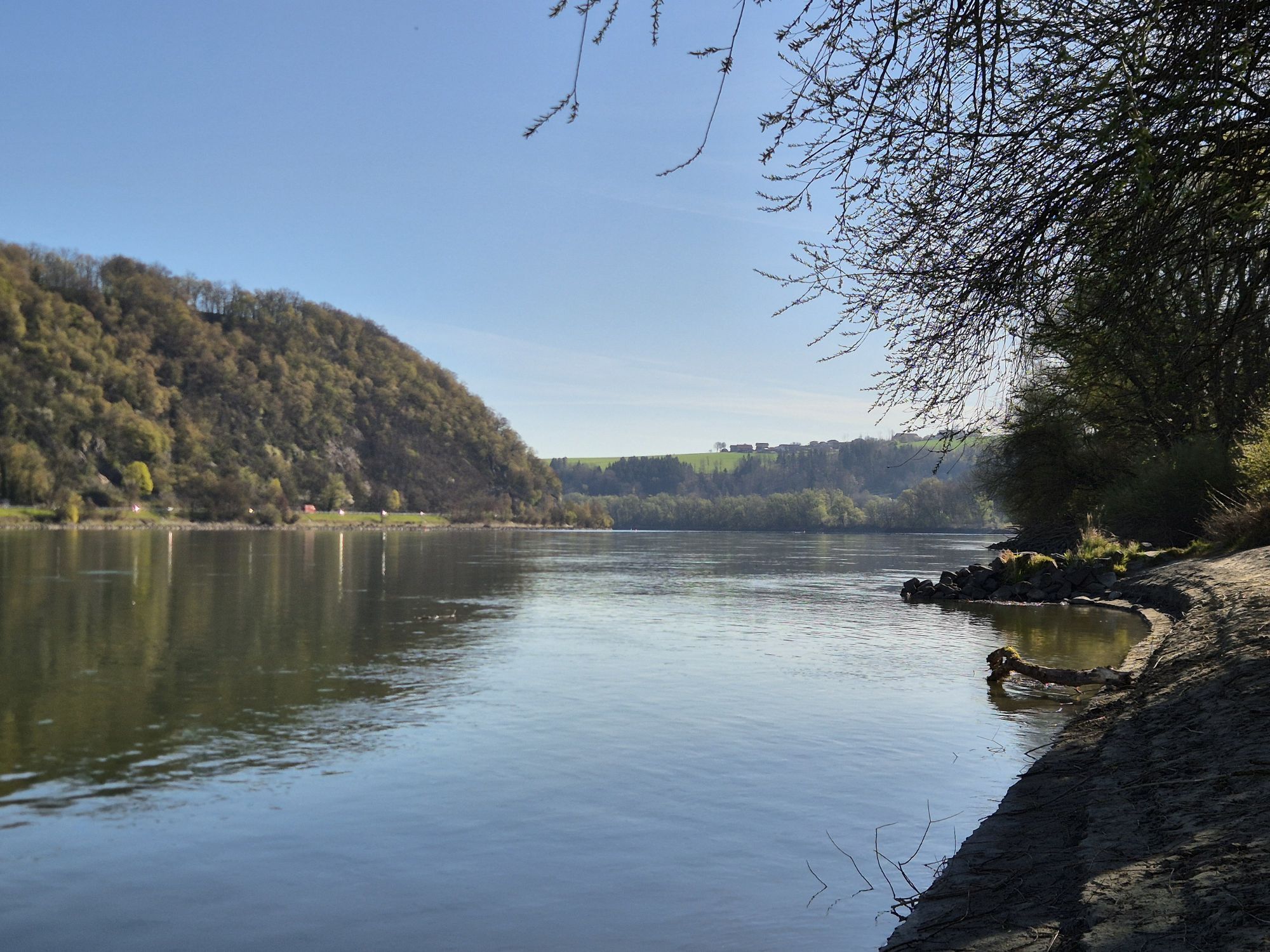
<p>Passau - Innstadt - Pyrawang - Kasten - Engelhartszell - Kramesau - Niederranna - Wesenufer - Schlögen</p><p><strong>Route description</strong></p><p>From Passau main station, first head north until you meet the Danube. Here turn right and follow the road to the Glass Museum, where you turn right again into Schrottgasse. Here a first detour to St. Stephen's Cathedral is already worthwhile, which has had the largest cathedral organ in the world since 1928. After crossing the Inn, you ride downstream on sometimes narrow and winding paths to two small wooded islands. </p><p>At the height of Erlau – a village on the opposite riverbank – the Danube makes a distinctive left curve. Here is Krämpelstein Castle, often also called Schneiderschlössl. It consists of a residential tower and an attached palace. The walls are only partially preserved. Already here you can admire the Donauleiten nature reserve on the other bank: It marks the southern edge of the Bavarian Forest and offers an enormous biodiversity and impressive botany. In Pyrawang a short visit to the small Peter's Church is worthwhile, where Gothic murals from the 14th century were discovered during restoration work. </p><p>In Engelhartszell, highlights include the Trappist abbey and the Mini-Danube (with large aquarium). Since 2018, you can stay on the new cycle path on the south bank here and head towards Oberranna. Visit the Roman fortress Oberranna - the best-preserved Roman building in Upper Austria and part of the 2018 state exhibition.</p><p>You cross the Wesenufer directly at the river and follow the newly developed Danube cycle path to Schlögen. Soon you see the Haichenbach ruin for the first time and then reach the first stage destination: Schlögen.</p>
<p>Drive on E56 to the Passau-Mitte (116) exit and then follow the B12 towards Fürstenzell/Donau. Turn right directly onto the B8/Regensburger Straße at the Danube and follow the signs for "Bahnhof". </p>
<p>By train to Passau main station. </p>
<p>Parking in Passau.</p>
Verantwortlicher für den Inhalt dieser Tour
WGD Donau Oberösterreich Tourismus GmbH
Letzte Aktualisierung: 23.11.2025
Kamery internetowe z trasy



Popularne wycieczki w okolicy
-
4,7
Hofkirchen: Waterfall round
średniWędrówka 8,43 km -
3,8
Waldkirchen: 4/4 View Round | Large Danube Resonance Path Round
średniWędrówka 12,9 km -
4,5
Rannastausee
światłoWędrówka 9,03 km -
5,0
Kneipp,- Fitnessweg im Rannatal
światłoWędrówka 3,79 km -
4,5
Rannatalweg
średniWędrówka 10,7 km -
3,9
R1.01 Inn-Danube-Round
średniJazda na rowerze 43,7 km -
4,0
Danube Cycle Path Stage 1 North Bank: Passau - Schlögen
światłoKolarstwo długodystansowe 40,8 km -
4,0
Panoramaweg
światłoWędrówka 7,53 km -
3,8
Esternberg: Kößlbachrunde
światłoWędrówka 15,8 km -
5,0
Pfarrkirchen: dream view route
średniWędrówka 15,7 km
Wędrówki i tropienie


Nie przegap ofert i inspiracji na następne wakacje
Twój adres e-mail została dodana do listy mailingowej.





