







Danube Cycle Path Stage 1 North Bank: Passau - Schlögen

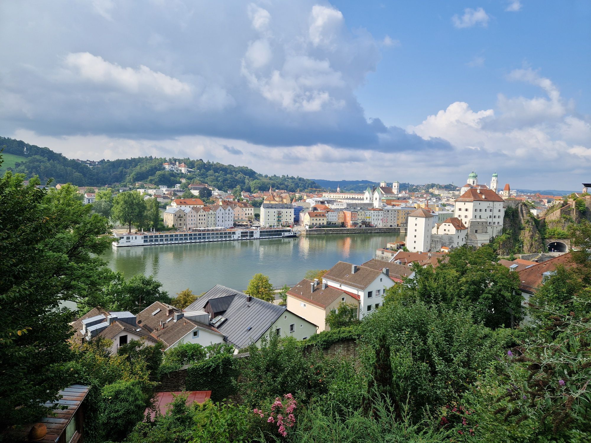

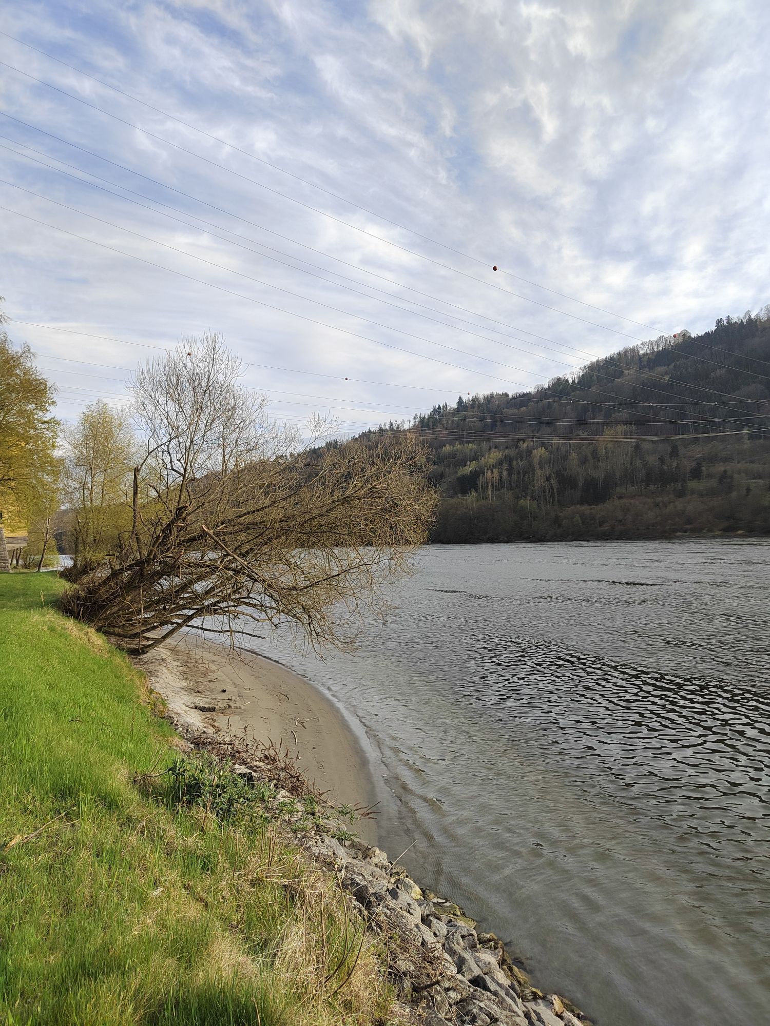
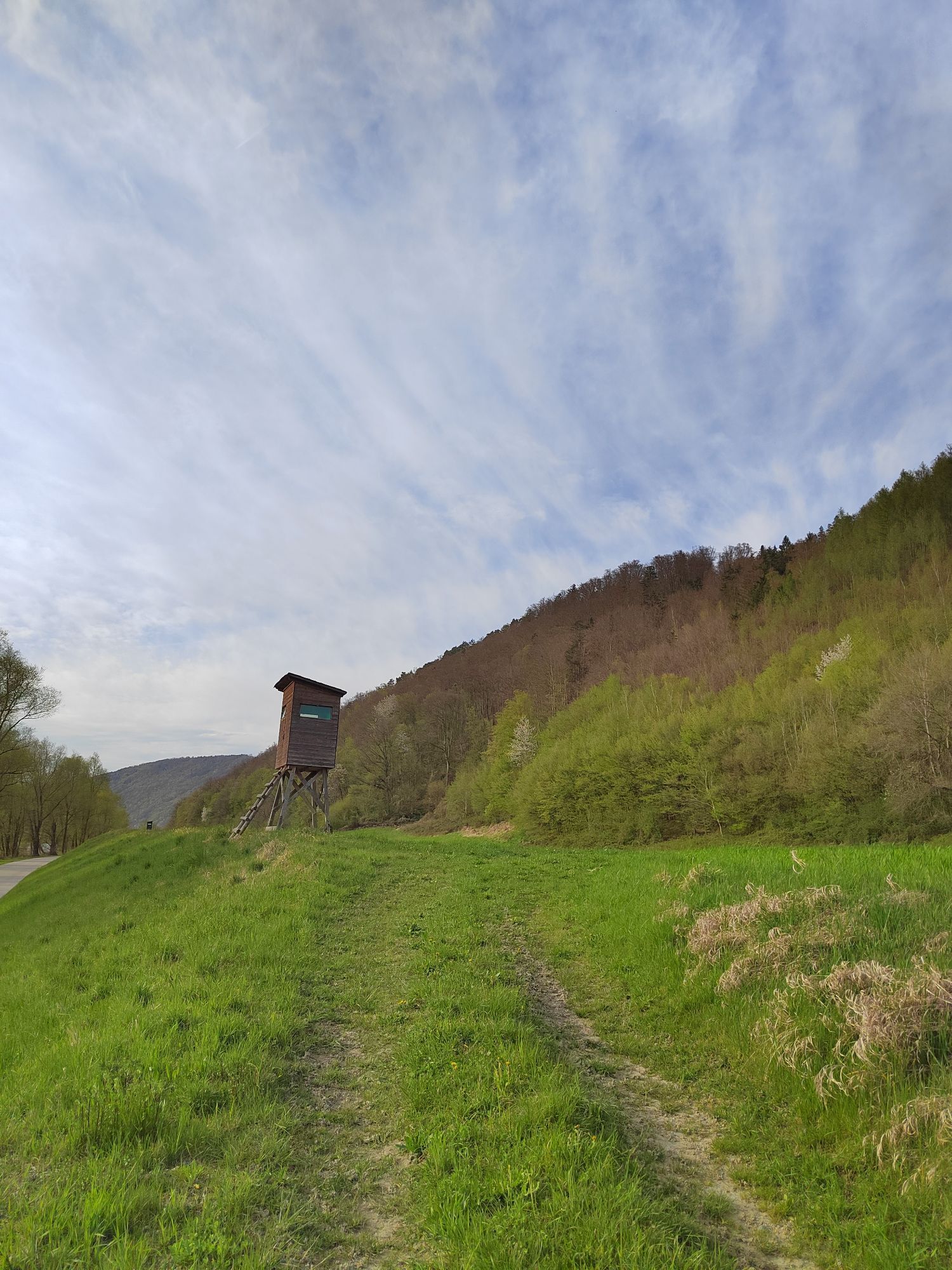
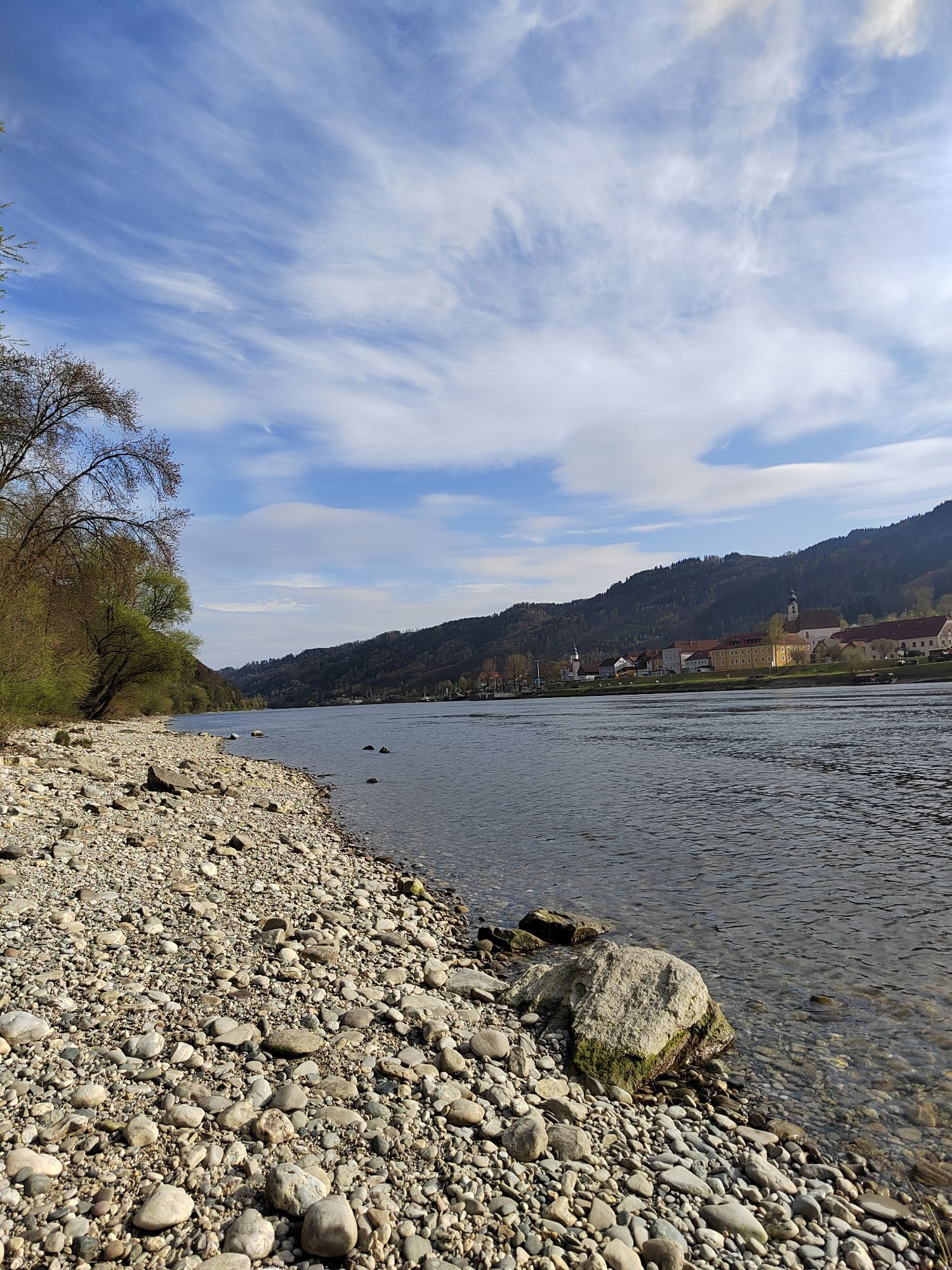
From Bavarian Venice to the Giant of the Danube
North or South route – this is the question at the start of your first stage, as you can reach the day's destination on both Danube banks. Regardless of your...
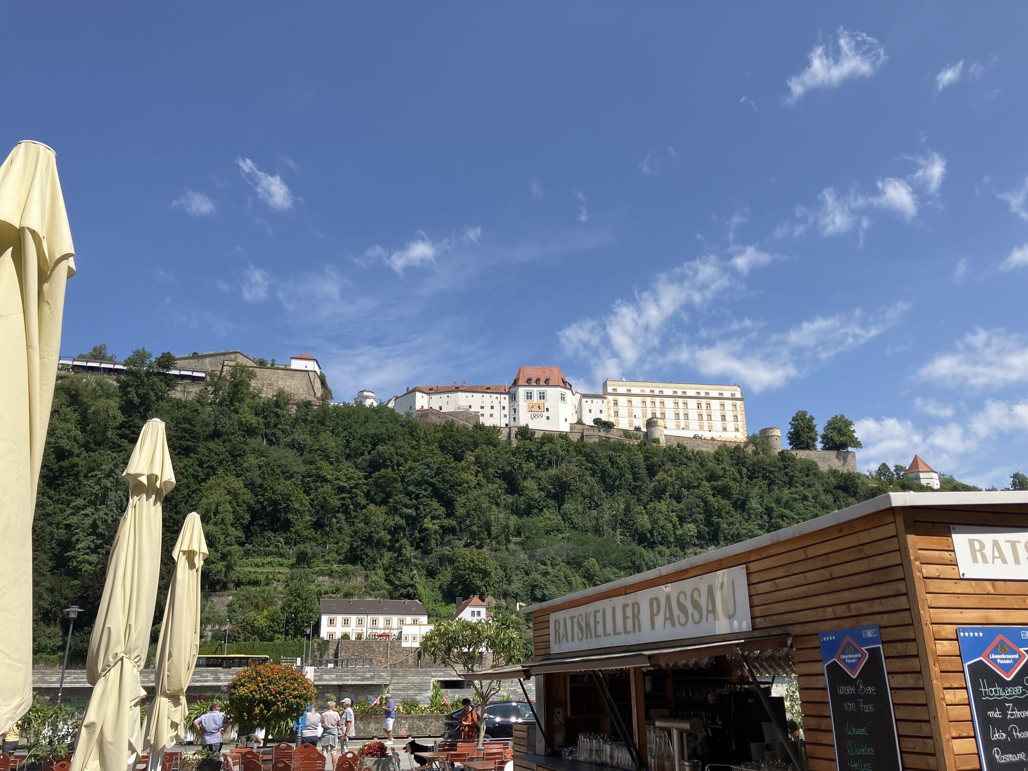
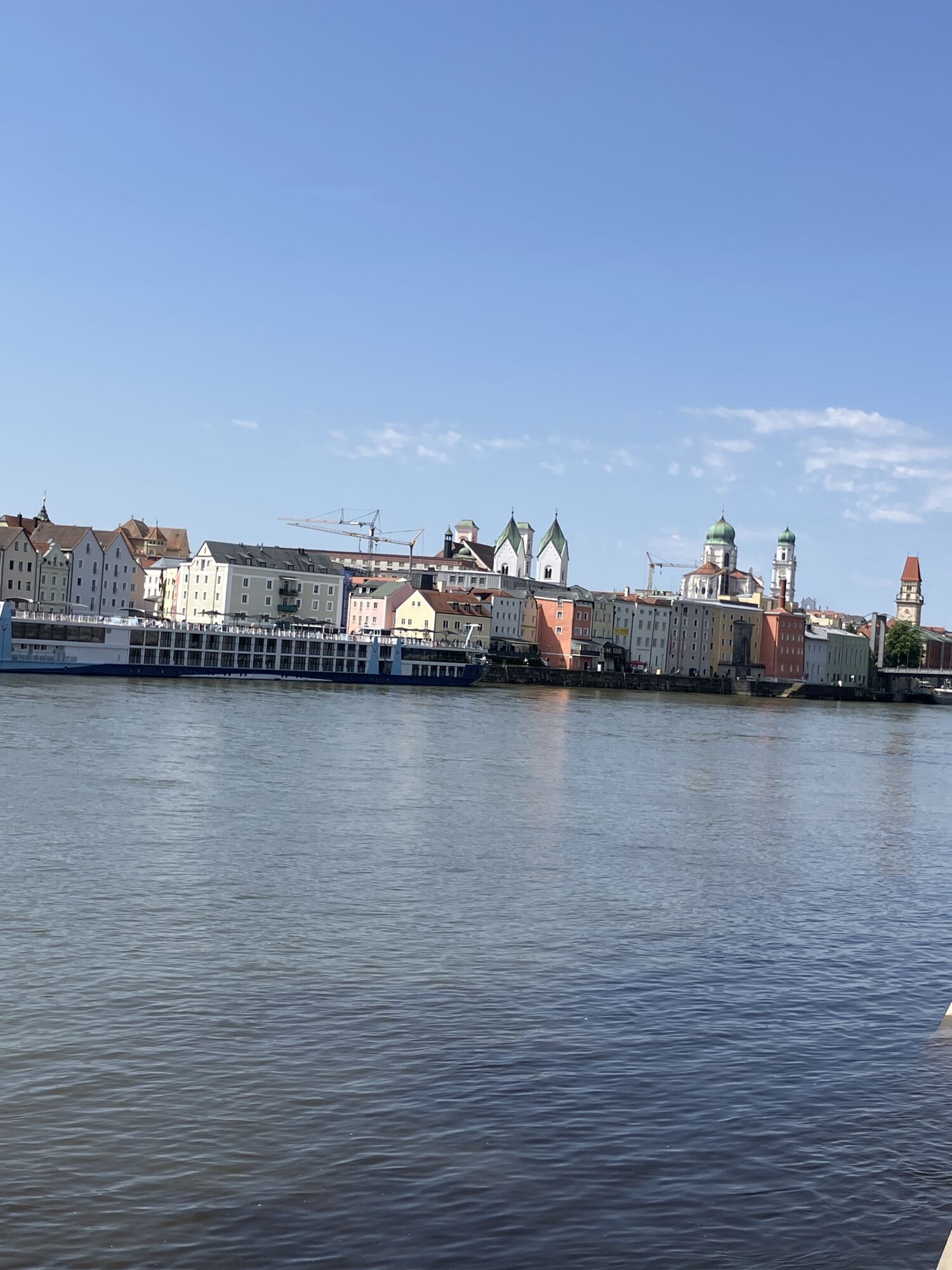
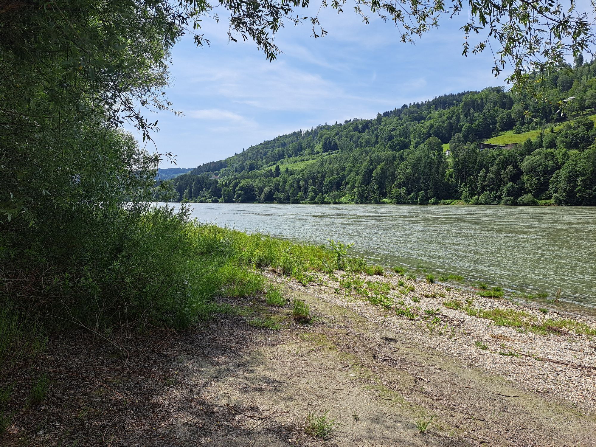
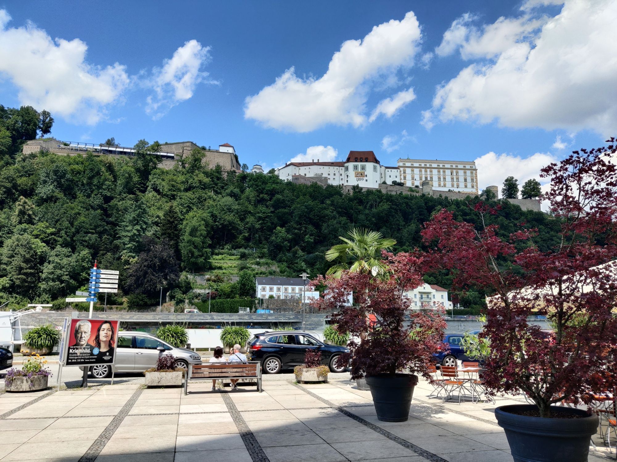
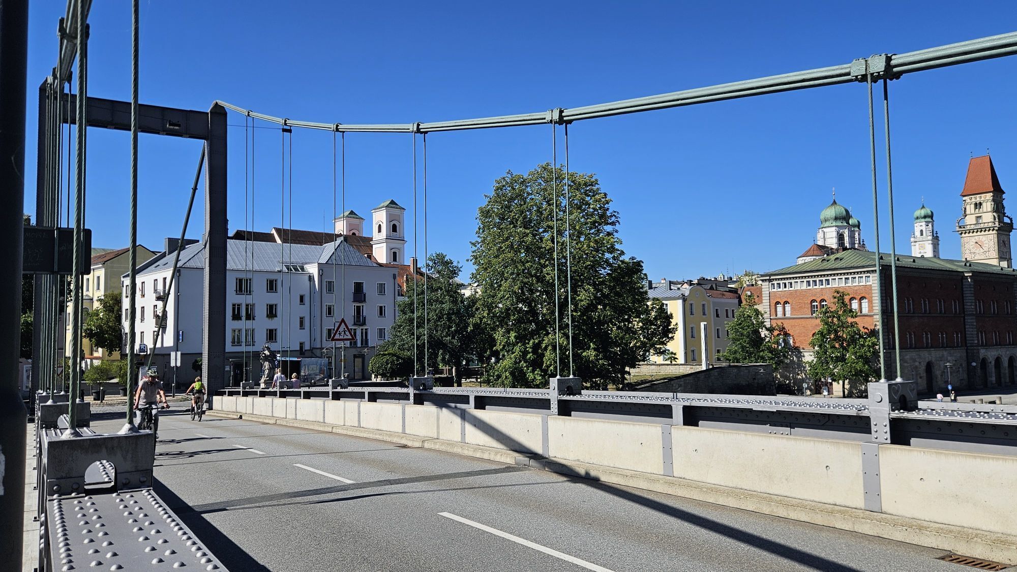
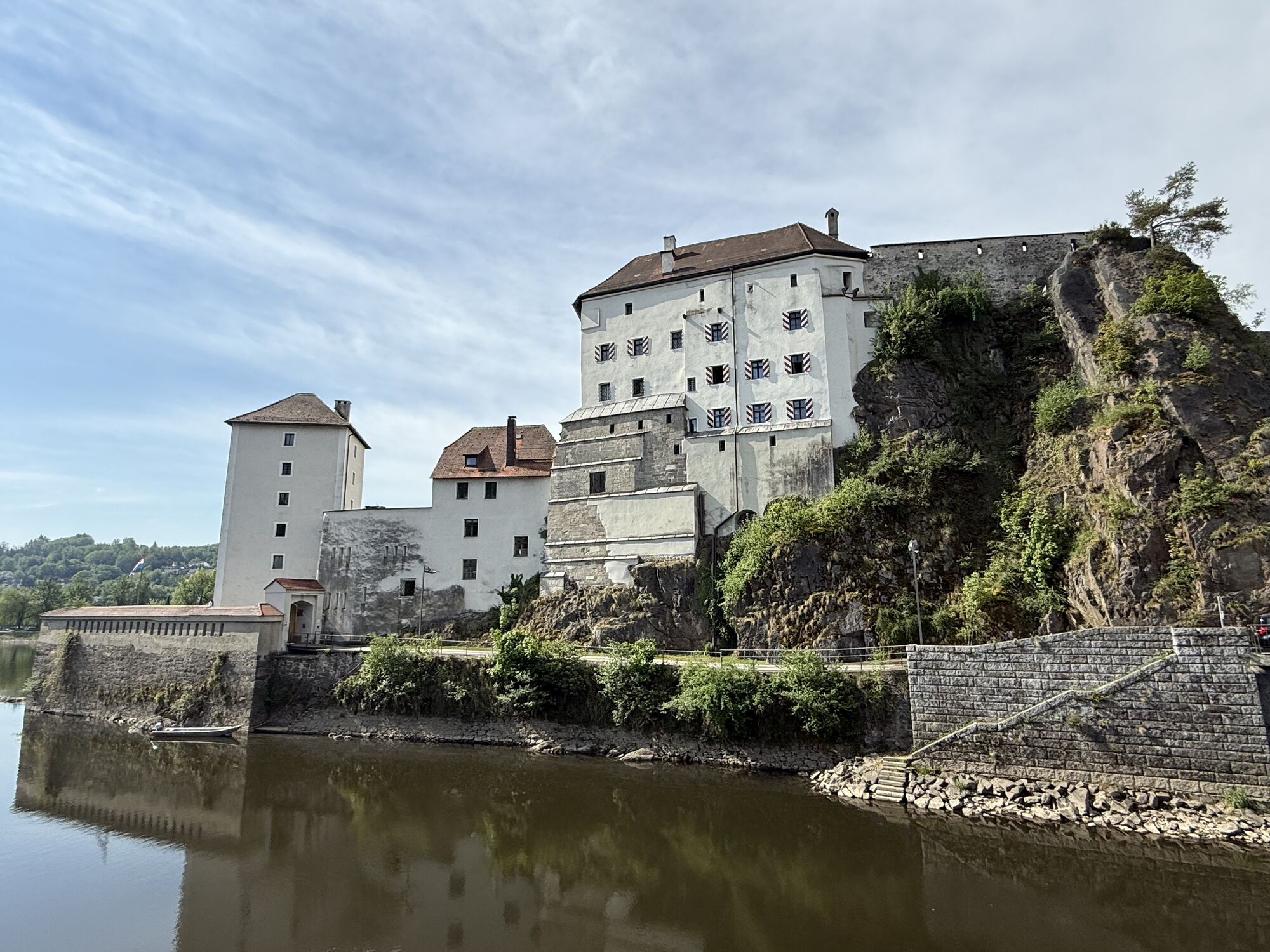
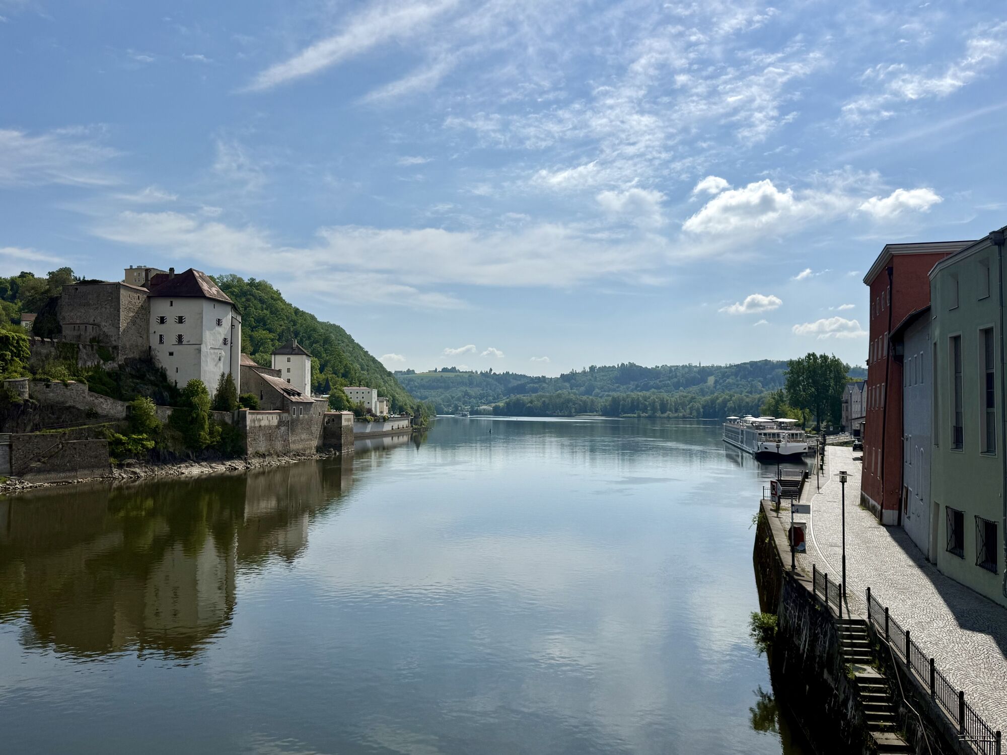
<p><strong>From Bavarian Venice to the Giant of the Danube</strong></p><p>North or South route – this is the question at the start of your first stage, as you can reach the day's destination on both Danube banks. Regardless of your choice: Before you set off, you have ample opportunity to visit Passau’s sights such as the old town, residence, and St. Stephen's Cathedral (see also E1-S). As soon as you cross the Danube on the Luitpold Bridge, the fortresses Ober- and Niederhaus greet you in farewell from the city of three rivers. Oberhaus, long the seat of the Passau bishops, houses among other things a city and medieval museum.</p><p>Tip for culture lovers: Start your cycling route in the baroque town of Schärding with its beautiful Silver Row. From there, you can comfortably reach Passau and the Danube Cycle Path via the Inn Cycle Path.</p><p>Very impressive are soon the sunny southern slopes of the Donauleiten nature reserve, home to the delicate alpine violet, the magnificent Turk's cap lily, and the shimmering emerald lizard. Through the village of Erlau you head to Obernzell, where a ceramics museum is housed in the massive castle directly on the river. Your onward journey is accompanied by a view of the mighty keep of Vichtenstein Castle (12th century) on the opposite bank, where the Haugstein (895 m), the highest elevation of the Upper Austrian Sauwald, also towers.</p><p>The Nature Experience Center Haus am Strom, shaped by architects like "wave and pebble," welcomes you among other things with a special water elevator. A series of interesting and engaging nature tours introduce you to the fauna and flora of the region. If the view of Engelszell Abbey tempts you for a short visit on the opposite bank (see also E1-S), you can cross the Danube via the Jochenstein power plant.</p><p>On the north bank, you soon reach Niederranna (Danube bridge), where a long-established boat builder invites you for a Zille boat trip on the water. Now it is not far until you can either cross by ferry to Schlögen or continue the stage on the north bank with a refreshing ride through the Schlögener Schlinge by Donaubus, the Au-Grafenau cross-river ferry.</p>

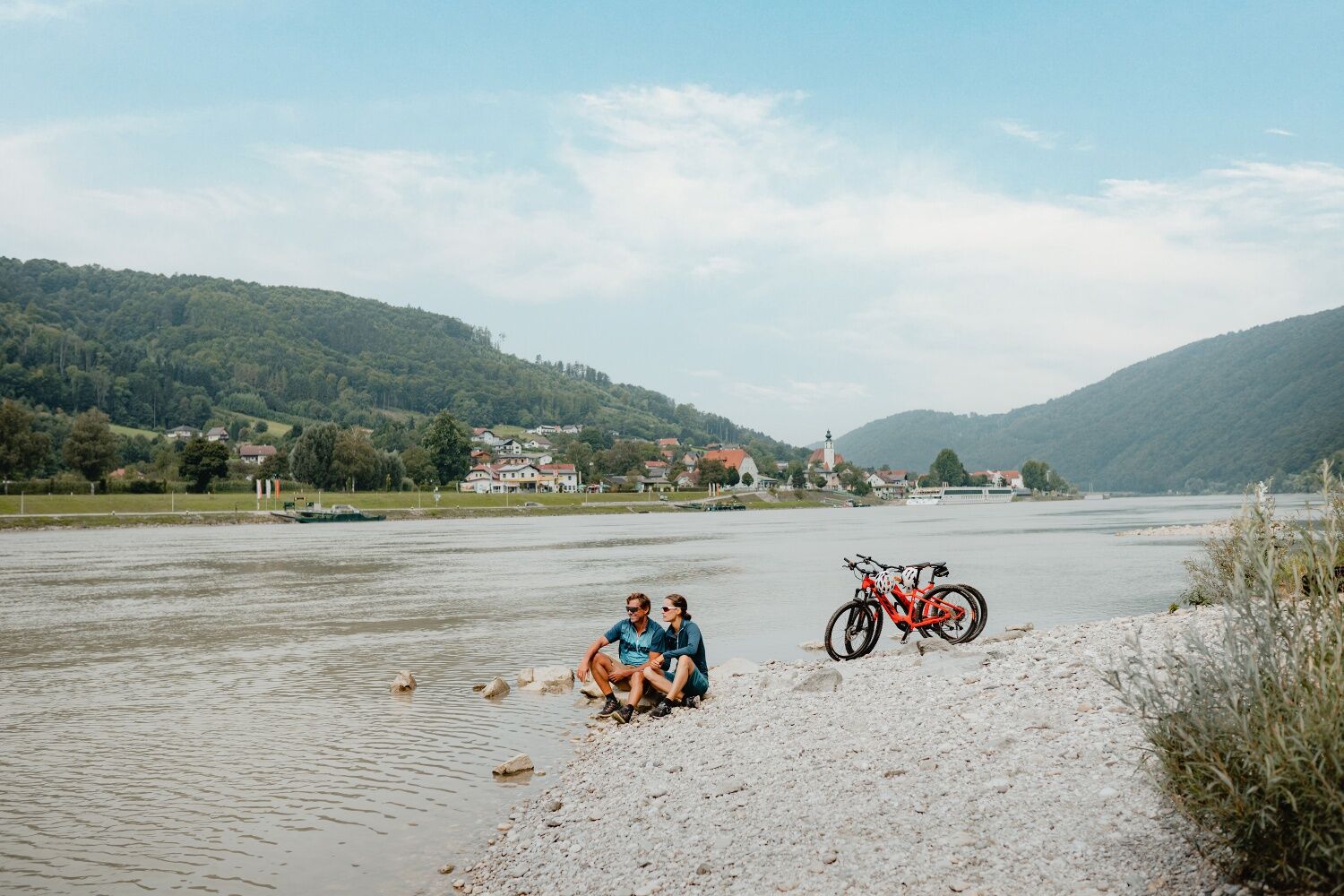
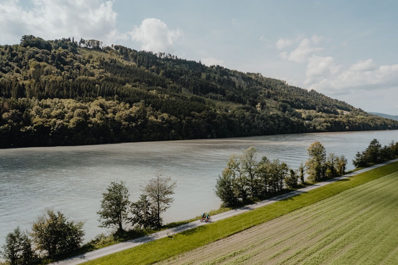
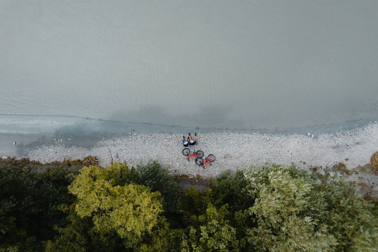

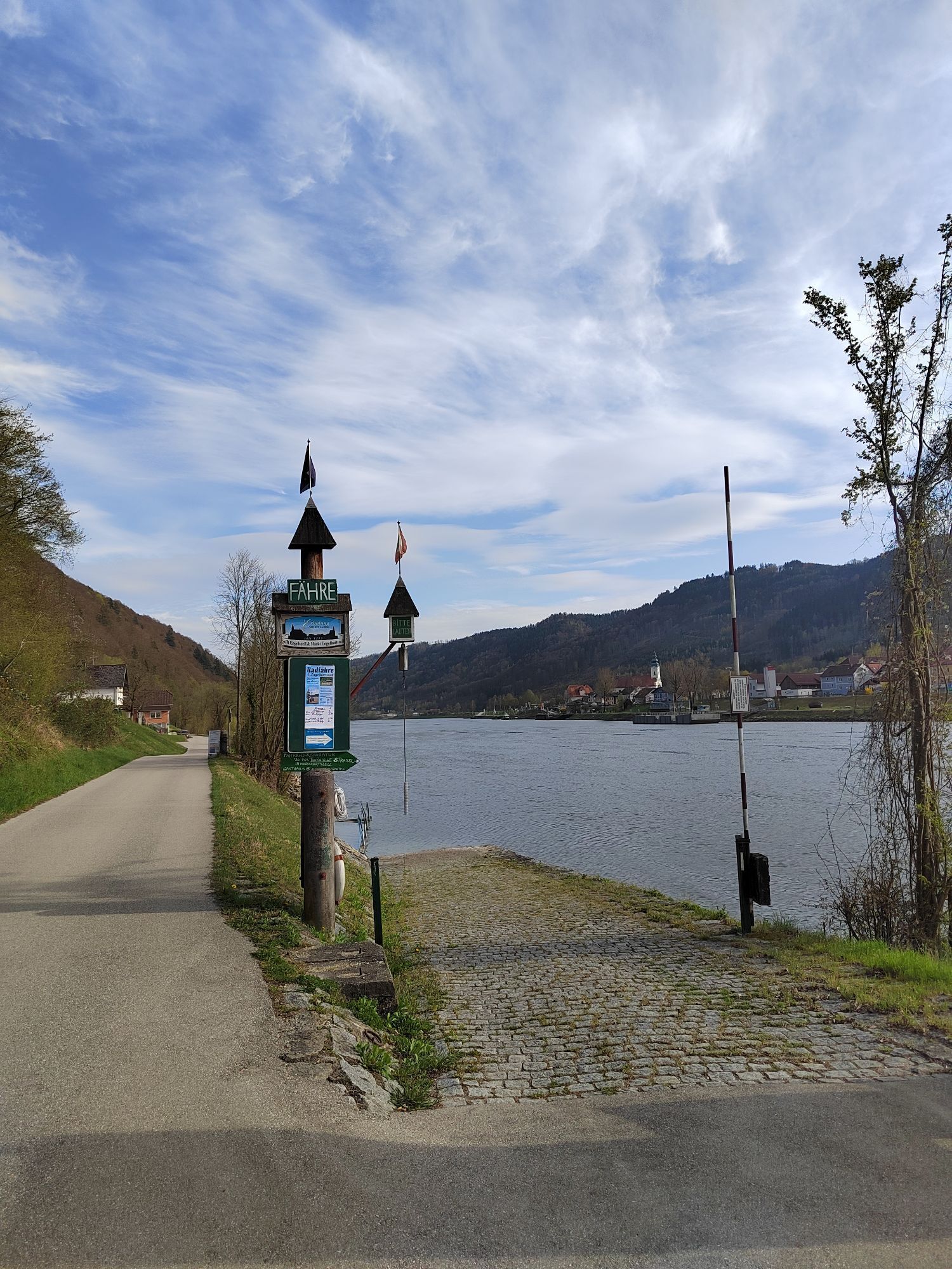
<p>Passau - Ilzstadt - Erlau - Obernzell - Niederranna - Schlögen</p><p><strong>Route description</strong></p><p>You begin the stage directly at Passau station. To reach the Danube as quickly as possible, follow the signs "to the Danube Cycle Path" and shortly afterwards you will catch your first glimpse of your future companion. Follow the river downstream and cross the Danube over the Luitpold Bridge. Here you can already see the Ober- and Niederhaus fortress, which combines the administrative center, residence, government buildings, and fortress in one.</p><p>After crossing the Ilz Bridge, keep right and from now on always follow the marked path along the Danube. You will soon enter the Donauleiten nature reserve, whose steep slopes mark the southern edge of the Bavarian Forest. The slopes are mostly densely forested, with bizarre rock formations visible in only a few spots. Due to the steep terrain and southern exposure, the nature in this area is largely untouched and impresses with a diverse flora and fauna.</p><p>In Erlau, you cross the eponymous stream and follow the cycle path to Obernzell. Soon, on the other side of the river, the mighty Vichtenstein Castle from the 12th century comes into view, and slightly offset is the 895 m high Haugstein, considered the highest elevation in the Alpine foreland. A few kilometers downstream you pass the "Haus am Strom," whose architecture resembles the shape of a wave. With numerous water features, an exhibition, and a beer garden with regional cuisine, the house offers a welcome destination for a break. As an alternative to continuing with a view of Engelszell Abbey, there is the option to cross the Danube over the Jochenstein power plant and return to the north bank with the Engelhartszell bike ferry.</p><p>In Niederranna, with the Witti Zille rental, one of the last Zille builders can be found. Shortly after the Haichenbach ruin, the famous Schlögener Schlinge begins on the ridge, where the Danube describes a picturesque 180° curve. The stage ends with a short ferry crossing over the Danube to Schlögen or with a Donaubus ride (Au-Grafenau cross-river ferry) through the Schlögener Schlinge to Grafenau.</p>
<p>Take the E56 to the Passau-Mitte (116) exit and then follow the B12 towards Fürstenzell/Danube. Turn right directly at the Danube onto the B8/Regensburger Straße and follow the signs to "station".</p>
<p>By train to Passau main station.</p>
<p>Parking in Passau.</p>
Verantwortlicher für den Inhalt dieser Tour
WGD Donau Oberösterreich Tourismus GmbH
Letzte Aktualisierung: 23.11.2025
Discovery journeys with pleasurable stops! This route passes directly by the following culinary partners:
Thalhammers in FeldkirchenWögerer in FeldkirchenHotel Fautschlöss'l in FeldkirchenDonautaler Mostkellerei in ObermühlHotel Wesenufer in Waldkirchen am WesenGasthof Luger in NeustiftHotel Donauschlinge in HaibachDonAu-Standl in Au an der DonauRadlerbauernhof Moser in MitterkirchenKamery internetowe z trasy



Popularne wycieczki w okolicy
-
4,7
Hofkirchen: Waterfall round
średniWędrówka 8,43 km -
3,8
Waldkirchen: 4/4 View Round | Large Danube Resonance Path Round
średniWędrówka 12,9 km -
4,5
Rannastausee
światłoWędrówka 9,03 km -
5,0
Kneipp,- Fitnessweg im Rannatal
światłoWędrówka 3,79 km -
4,5
Rannatalweg
średniWędrówka 10,7 km -
3,9
R1.01 Inn-Danube-Round
średniJazda na rowerze 43,7 km -
4,0
Danube Cycle Path Stage 1 North Bank: Passau - Schlögen
światłoKolarstwo długodystansowe 40,8 km -
4,0
Panoramaweg
światłoWędrówka 7,53 km -
3,8
Esternberg: Kößlbachrunde
światłoWędrówka 15,8 km -
5,0
Pfarrkirchen: dream view route
średniWędrówka 15,7 km

Wędrówki i tropienie


Nie przegap ofert i inspiracji na następne wakacje
Twój adres e-mail została dodana do listy mailingowej.





