





Petite Boucle des Trois Pays, a route along the water for the whole family (Local loop 979 Alsace à Vélo / Suisse Mobile)
Poziom trudności: 1
Zdjęcia naszych użytkowników
1 river, 2 languages, 3 countries! This cross-border ride will let you discover a unique region bordered by the Rhine, which will be the true thread of your outing. Between waterways, wild water parks,...
1 river, 2 languages, 3 countries! This cross-border ride will let you discover a unique region bordered by the Rhine, which will be the true thread of your outing. Between waterways, wild water parks, the protected natural reserve of the Petite Camargue Alsacienne, and industrial heritage, you will experience water in all its forms on an entirely signposted and secure network of bike paths, primarily flat, with no particular difficulty.
https://www.youtube.com/watch?v=YlEPc5wKIXc
https://www.troispaysavelo.fr/
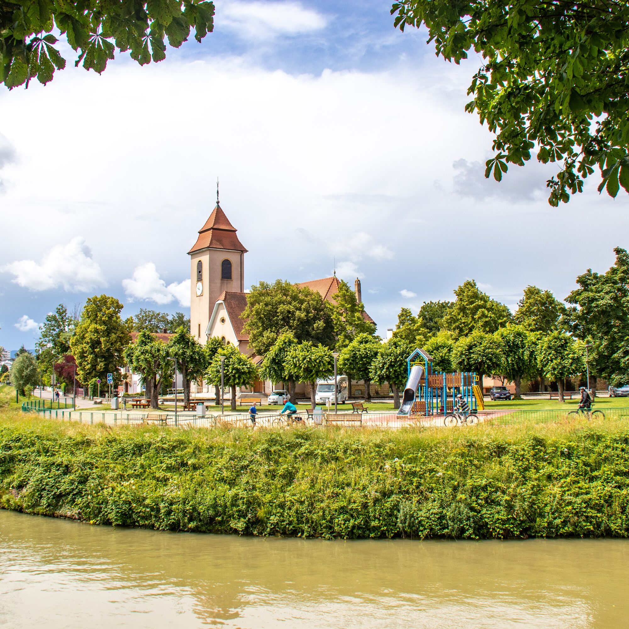
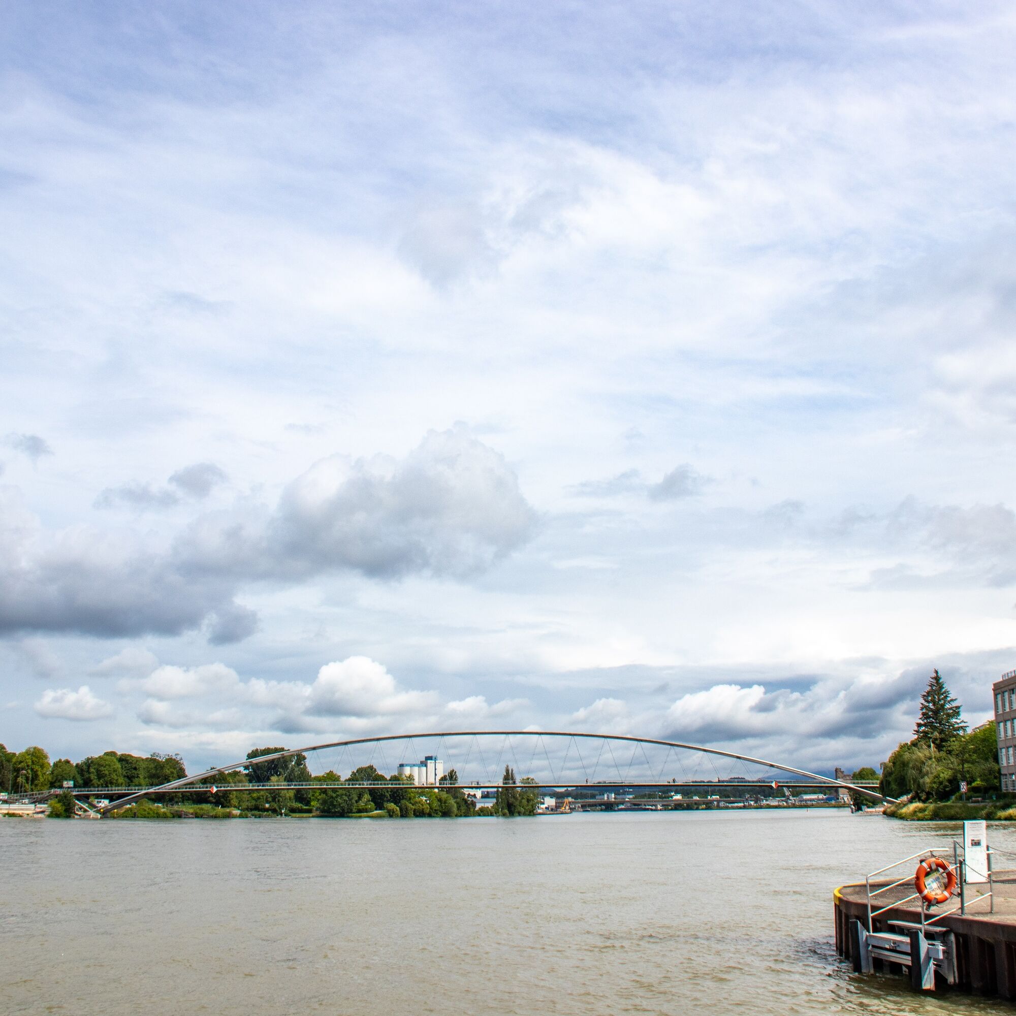
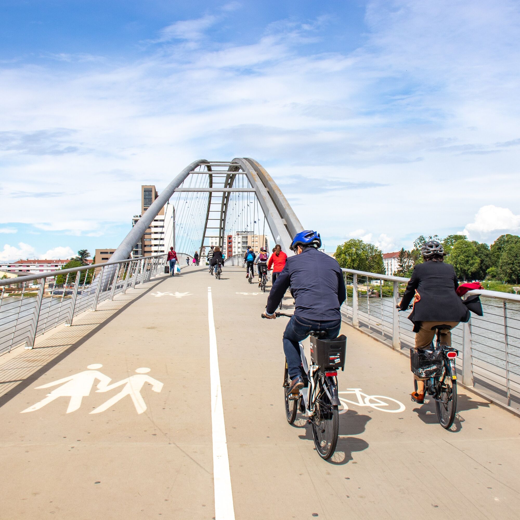
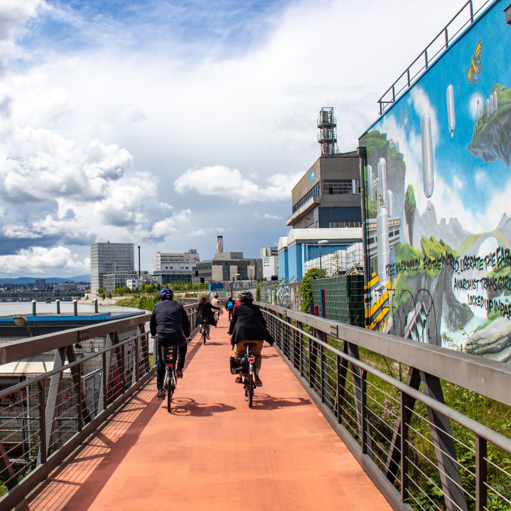
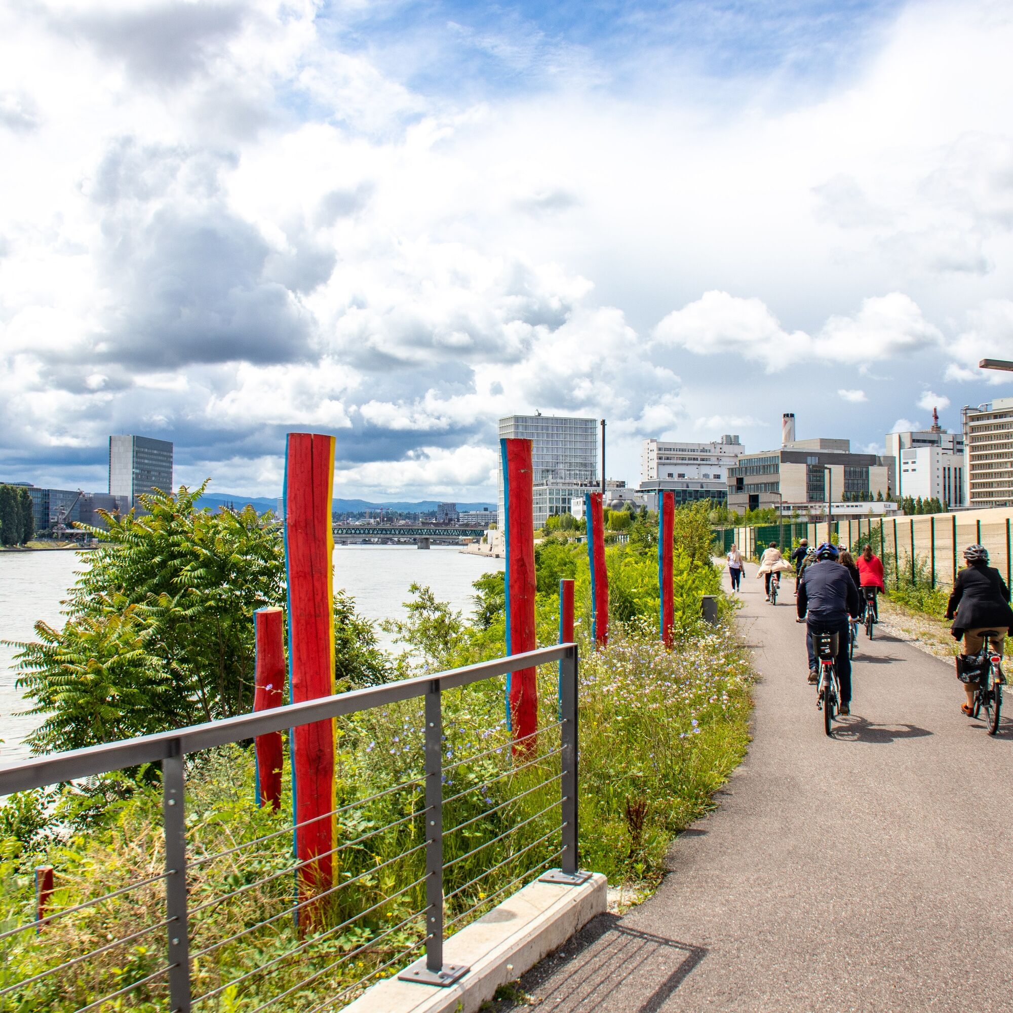
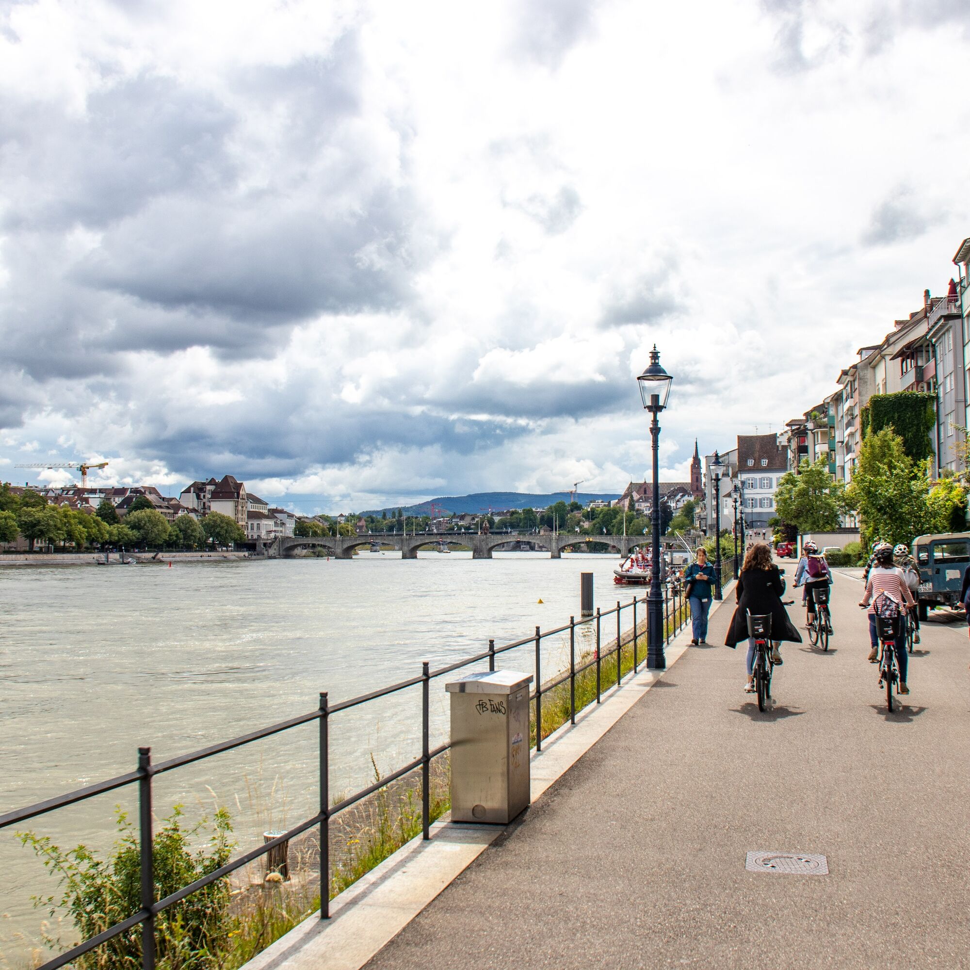

A route along the water for the whole family.
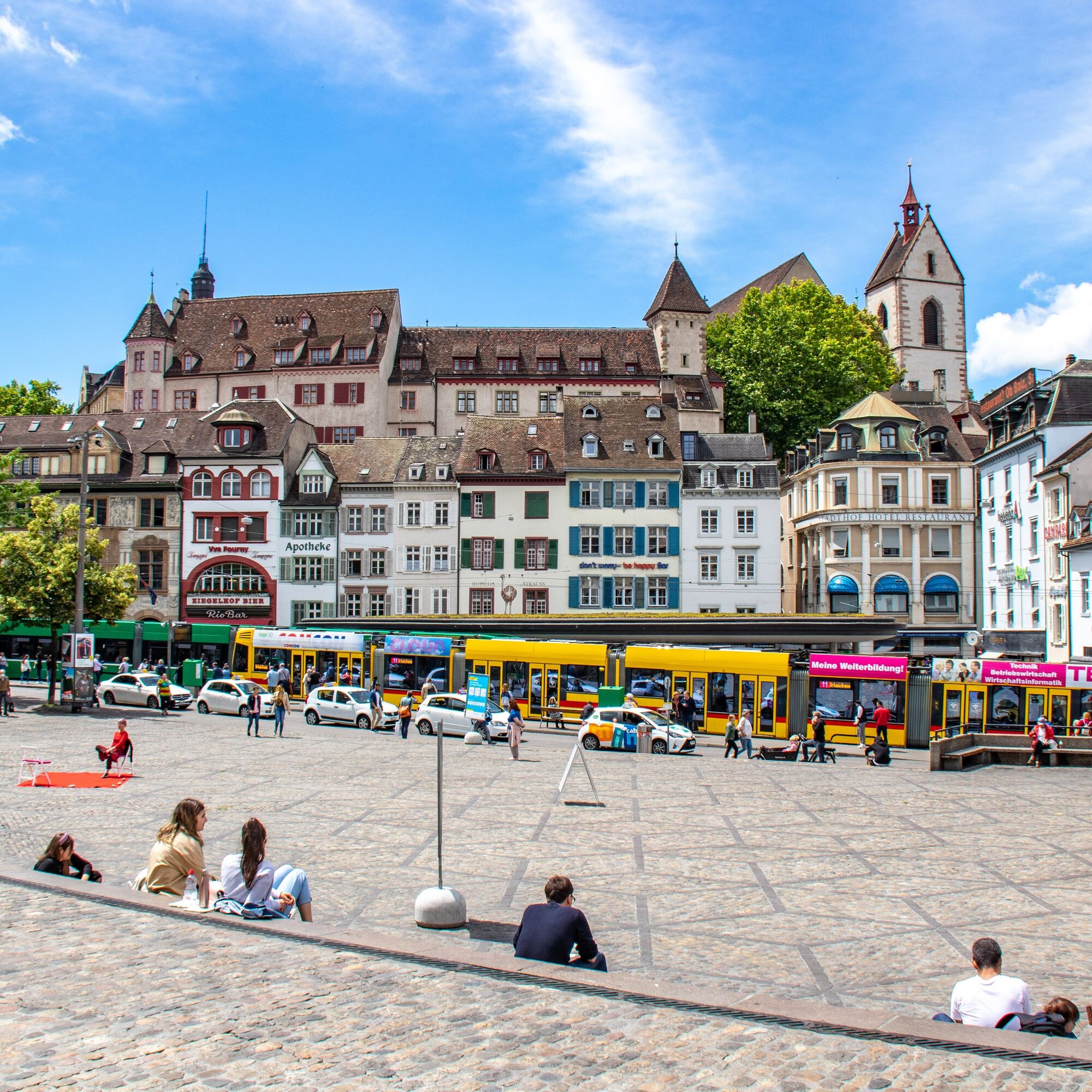
From the terrace of Basel Cathedral, you overlook the entire city: its roofs, its bridges over the Rhine, its ferries shuttling from one bank to the other, its sunny banks where it is good to live and stroll. The Basel residents live in the "Dreiländereck," literally "the corner of the Three Countries," where the "elbow of the Rhine" forms a sort of link between the inhabitants along the Rhine.
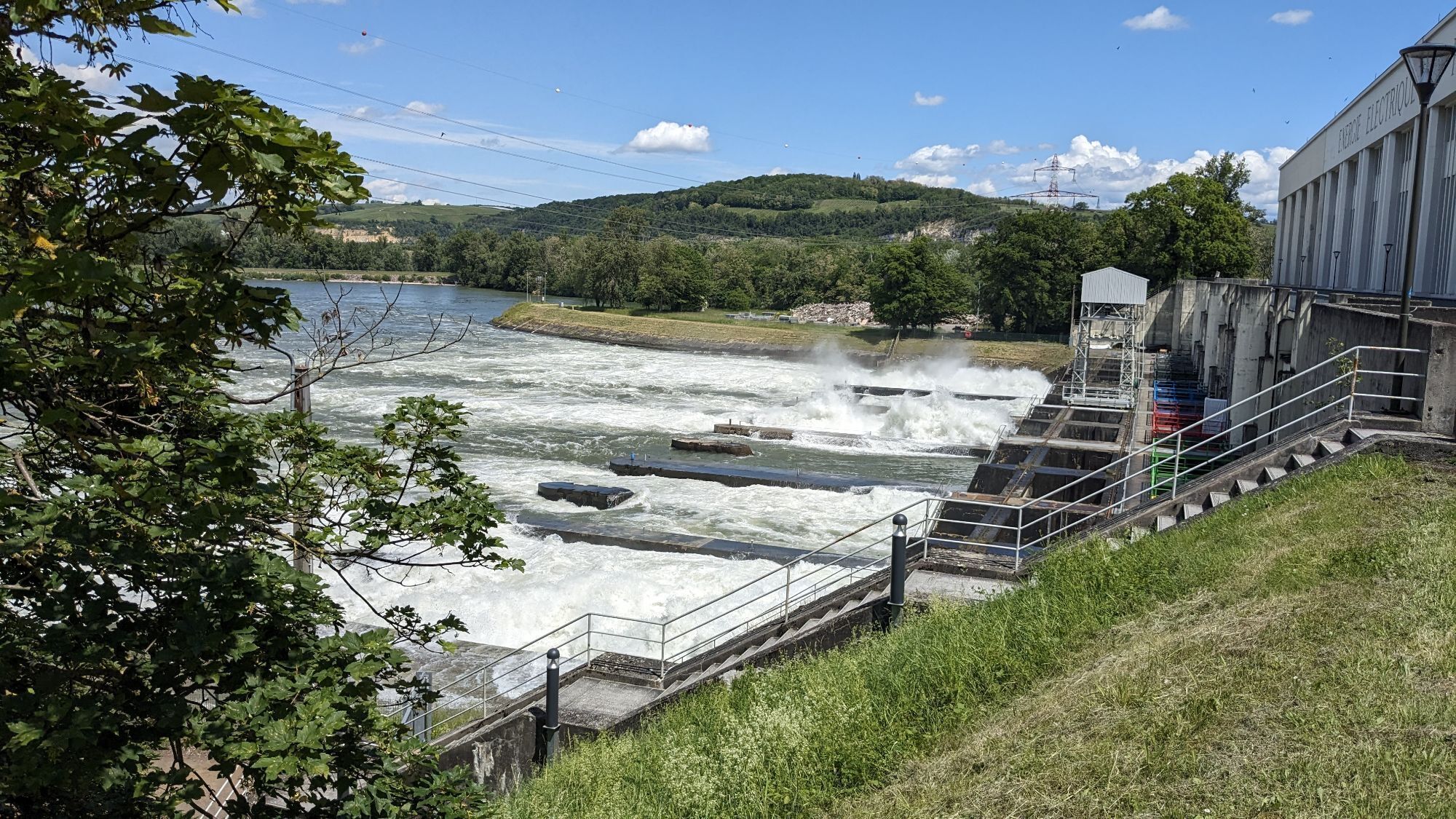
From this decidedly cosmopolitan city that has cultivated a true art of living, you will reach one of the many hydroelectric facilities on the Rhine in just a few pedal strokes. The impressive dams and hydroelectric plants of Birsfelden or Rhine Island remind us that this river is also a tremendous source of renewable energy.
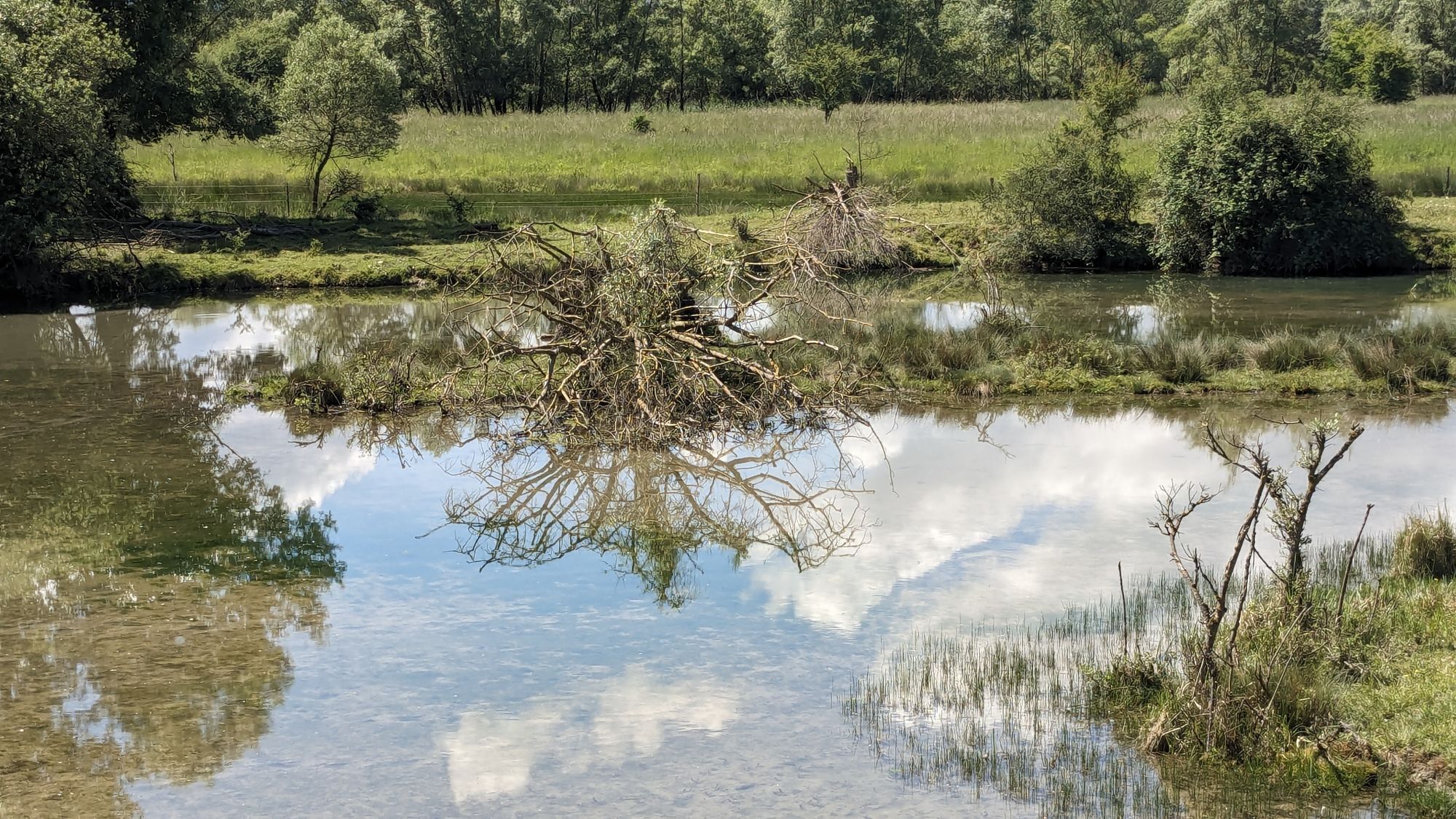
A few more pedal strokes will bring you to the protected natural areas of the Petite Camargue Alsacienne and the Kebsbachtal. They form a sort of green oasis around the tri-national Basel agglomeration. From an observatory set in the heart of nature, you can observe a rich Rhine fauna and flora. You will feel, for a moment, as if cut off from the world…
Tak
Before you leave:
Make sure your bike is in perfect mechanical condition, including tires and brakes Ensure the bike is properly adjusted to your physique Wearing a helmet is highly recommended Bring a repair kit Remember that the Highway Code applies to cyclists at all times Never ride more than two abreast and move into a single file when traffic conditions require it Respect other users as you would like to be respected Choose a route suited to your physical abilities Inform those around you of your itinerary Check weather conditions A first aid kit is not essential but can be very useful Inform yourself and keep emergency phone numbers handy Respect the environment by not throwing food packaging on the roadside If you need to return at nightfall, make sure you can see and be seenTo fully enjoy your stay in the region, we invite you to follow a few tips before setting off:
Carry a valid ID: some routes cross borders. Pack enough water and supplies in your panniers. Check the weather forecast before leaving and bring appropriate clothing. Sunscreen and rain gear may also be useful. Plan your route considering everyone's physical condition. Be cautious and do not overestimate your abilities. For your safety, wearing a helmet is strongly recommended. Carry out a technical inspection of your bike before leaving and make sure it has all required equipment (lights, reflectors, bell, brakes, etc.). Don't forget your mobile phone, fully charged before departure. Finally, be aware of the different currencies. In Germany and France, payments are in euros (EUR), while in Switzerland, the Swiss franc (CHF) is used.Emergency numbers:
Dial 112 for any emergency requiring ambulance, firefighters or police. This is a free European number, also valid in Switzerland.
By car
The Three Countries Region is at the crossroads of many French, German and Swiss highways.
On the French side, the region is accessible from Paris / Strasbourg via the A35 highway and from Lyon / Belfort via the A36.
In Germany, you will need to take the A5 highway from Karlsruhe / Freiburg.
Finally, in Switzerland, highways A2 and A3 will take you to Basel.
By train
The cities of Mulhouse, Saint-Louis, Basel, Lörrach are accessible by TGV or TER. Many other towns are also connected to the rail network. Information and reservations on:
Deutsche Bahn Swiss CFF French SNCFApproximate travel times:
Paris-Mulhouse (3h) Lyon-Mulhouse (3h) Geneva-Basel (2h50) Zurich-Basel (1h) Karlsruhe-Basel (1h45) Karlsruhe-Lörrach (2h)You can travel with your bike, free or by reservation, on many trains. Conditions vary by network.
By plane
The EuroAirport Basel-Mulhouse-Freiburg is an international airport. Flights to and from many European cities are scheduled daily.
Bus shuttles connect to the Saint-Louis and Basel train stations in 10 and 20 minutes respectively.
It is also possible to rent a car through various on-site rental agencies or to take a taxi.
By bus
Several bus companies operate in the Three Countries Region.
For long trips: Flixbus, Eurolines
For regional trips: route planning for Baden-Württemberg, trips in Northeastern Switzerland, trips in the Grand Est
For all cross-border trips in the Three Countries region, consult the TriRegio website. You can buy a ticket valid in the tariff zones on the border of the Three Countries.
1
For any questions about your bike stay or the Three Countries Region, our teams of advisors are here to welcome and inform you.
FRANCE
Tourist Office of Pays de Saint-Louis
81 rue Vauban
68128 Village-Neuf
+ 33 3 89 70 04 49
www.saintlouis-tourisme.fr
GERMANY
Schwarzwald Tourismus GmbH
Kompetenzzentrum Tourismus - Wiesentalstraße 5
79115 Freiburg
+49 761 896460
www.schwarzwald-tourismus.info/
SWITZERLAND
Tourist Information Basel Tourismus
am BarfüsserplatzSteinenberg
144051 Basel
+41 61 268 68 68
www.basel.com/fr
Baselland Tourismus
Haus der Wirtschaft - Hardstrasse
14133 Pratteln
+41 61 927 65 44
www.baselland-tourismus.ch
Good to know
Discover the world of salmon, beavers and other species thanks to the 11 stations along the route initiated by the "Nature Experience – without borders" project.
Uzyskaj wgląd Zawsze na żywo z ponad 9 500 kamer internetowych. bergfex Jako użytkownik Pro, możesz teraz zobaczyć odpowiednie kamery internetowe dla wielu wycieczek w aplikacji wycieczki od. Pozwala to na bezpośredni podgląd aktualnych warunków. 
Popularne wycieczki w okolicy
- 4,8
Wolfsschlucht
światłoWędrówka 6,19 km - 2,5
Isteiner Klotz - Huttlingen
średniWędrówka 8,67 km Fernsehturm Chrischona Riehen, Basel-Stadt
światłoWędrówka 13,5 km- 4,0
Planeten-/Zeitweg Kandern
światłoWędrówka 10,4 km - 5,0
St. Chrischona, BS Riehen, Schweiz
światłoWędrówka 14,5 km Entlang des Schlipf
światłoWędrówka 4,89 km- 5,0
Mythische Orte am Oberrhein - La tombe des Trois Vierges
światłoWędrówka 4,62 km Three Countries route - Between Nature and Culture (Large loop France, Germany, and Switzerland)
ciężkiKolarstwo długodystansowe 209,5 km- 5,0
Auf den Spuren des alten Rhein
światłoWędrówka 29,6 km Iles du Rhin Kembs
światłoWędrówka 14,0 km
Wędrówki i tropienie


Nie przegap ofert i inspiracji na następne wakacje
Twój adres e-mail została dodana do listy mailingowej.





